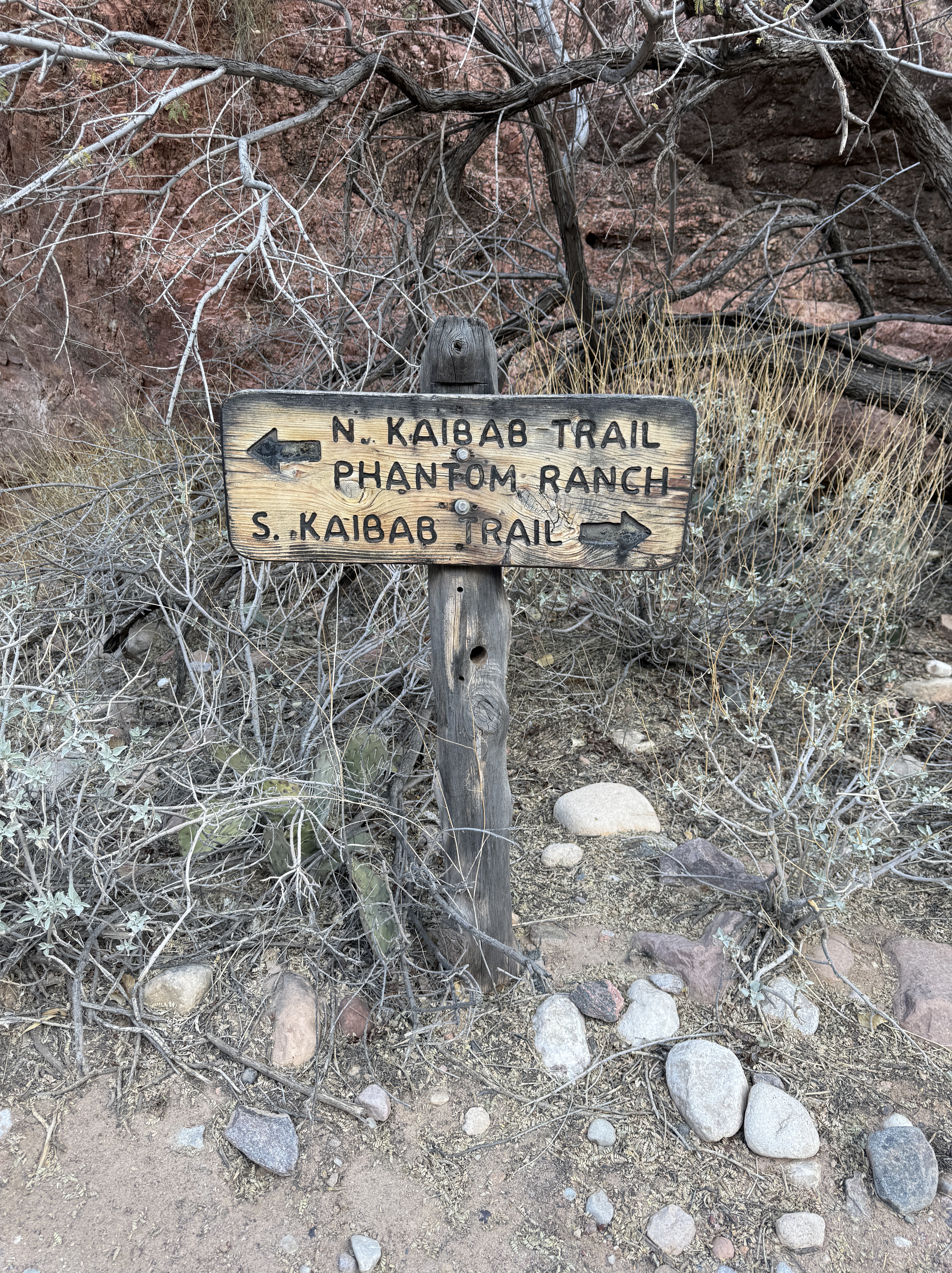
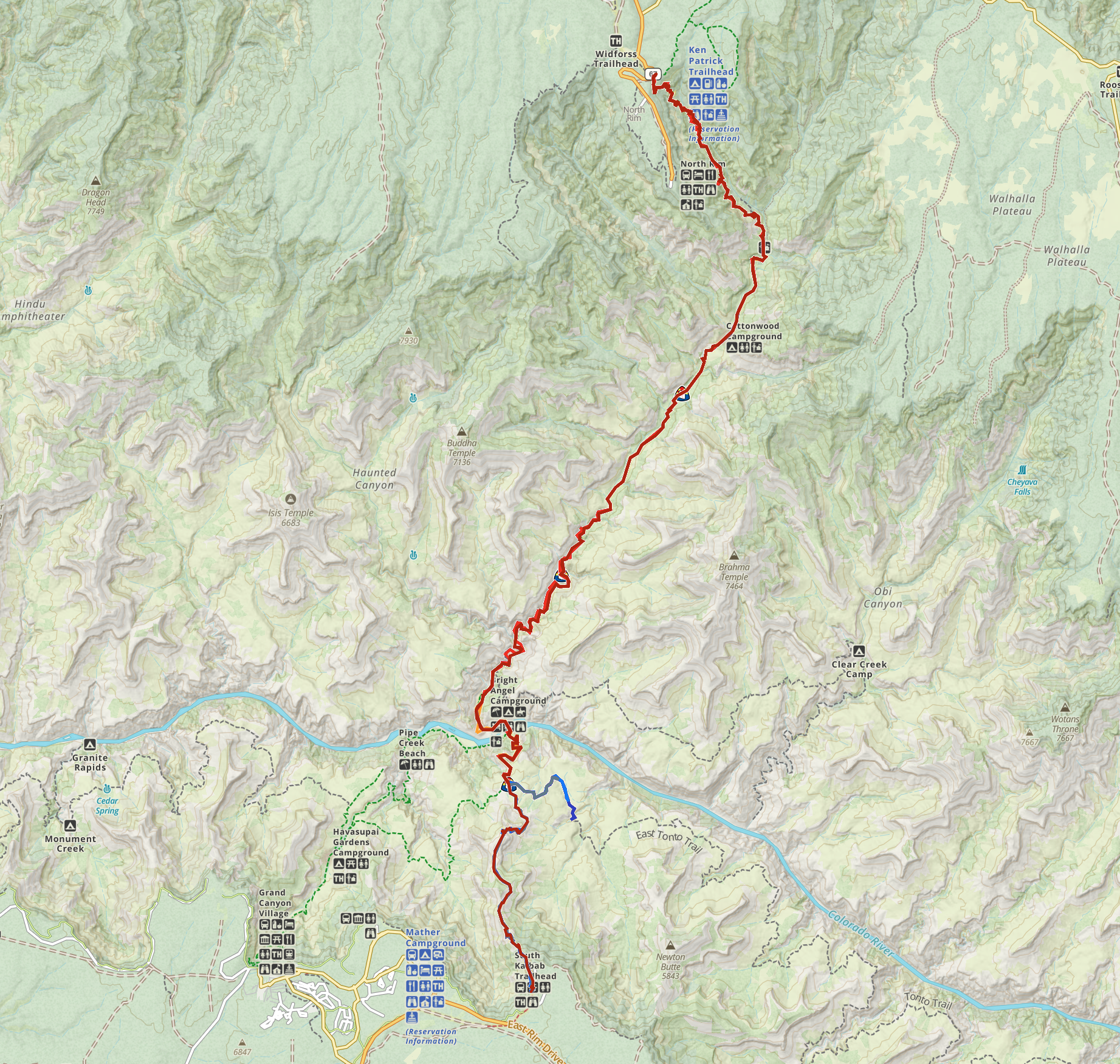
Day 6 – Cremation Canyon To South Kaibab Trailhead
6.5 Miles, +3600′
December 4, 2024
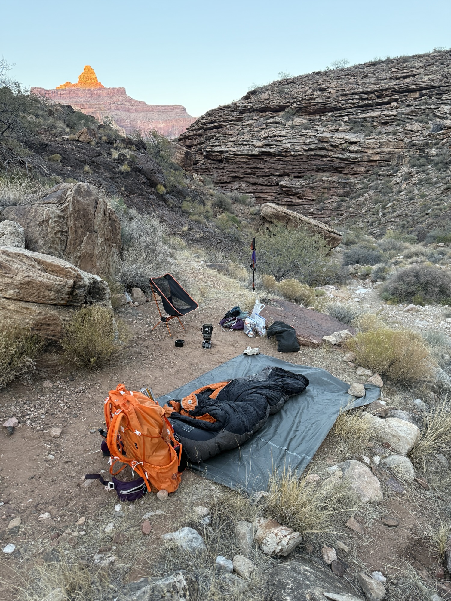
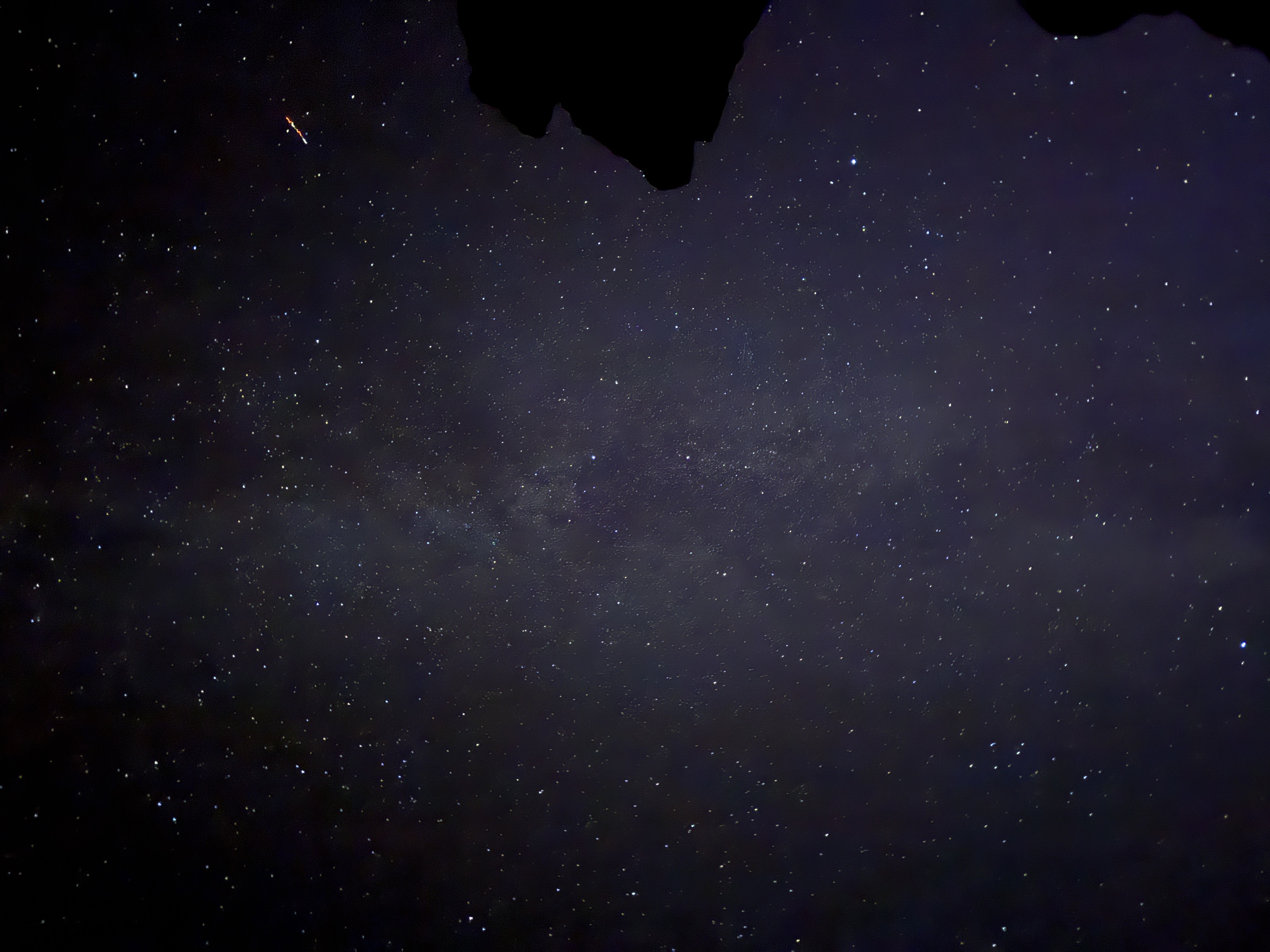
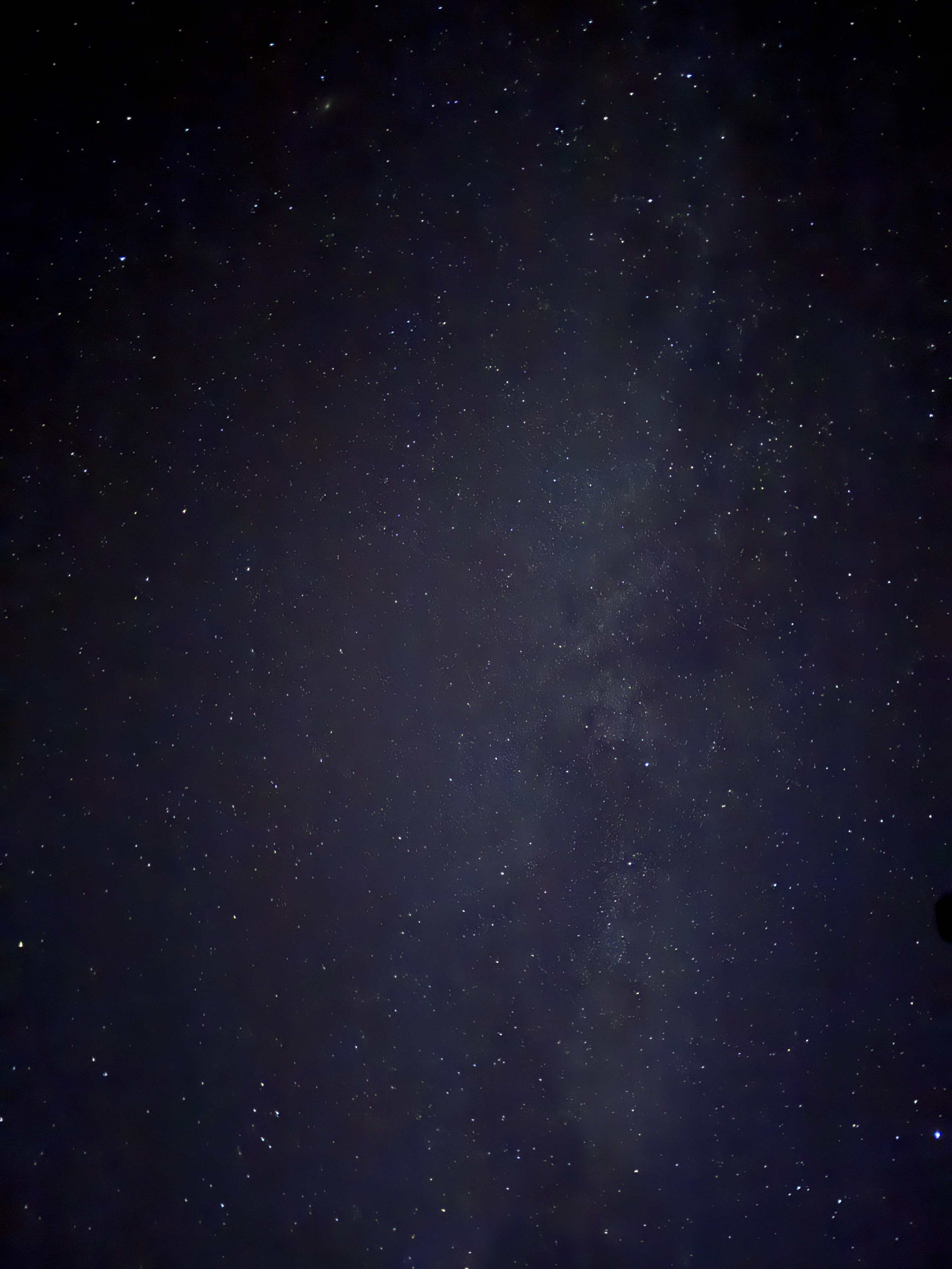
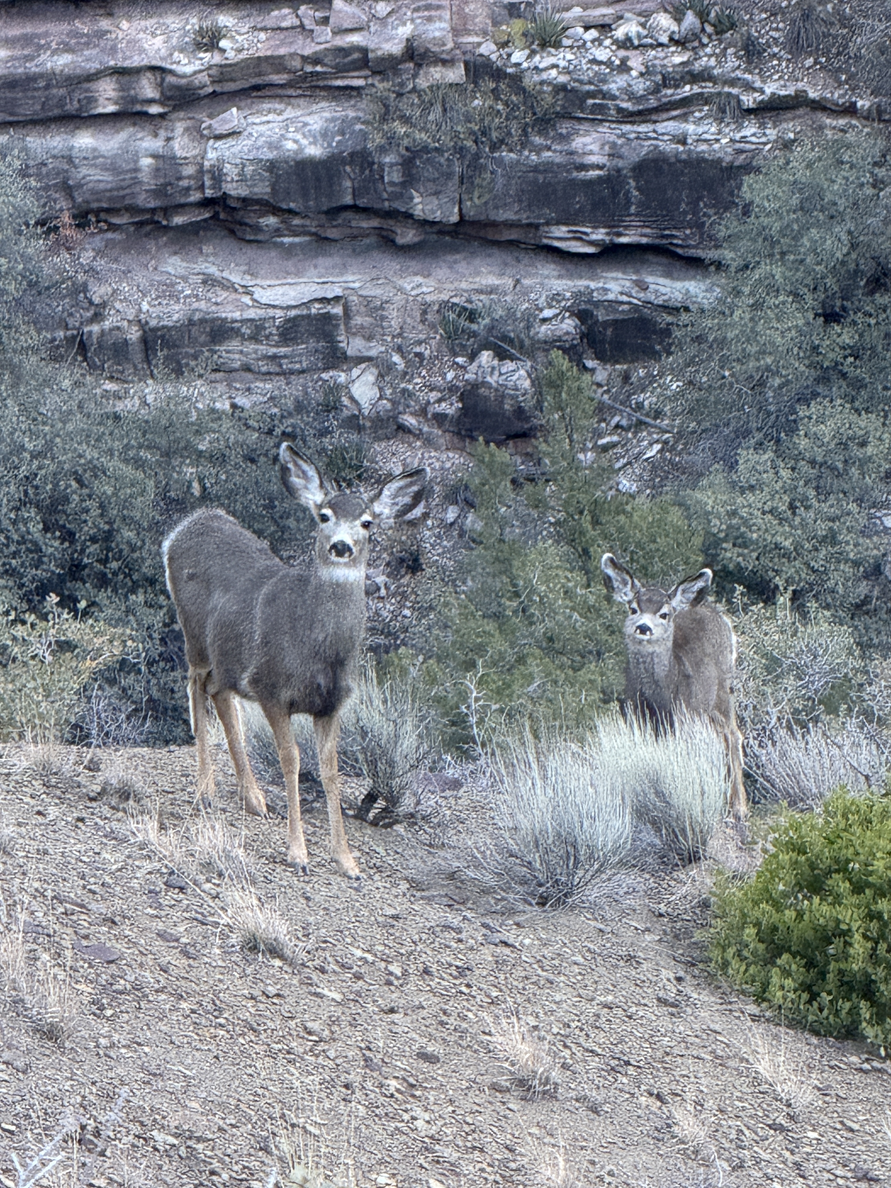
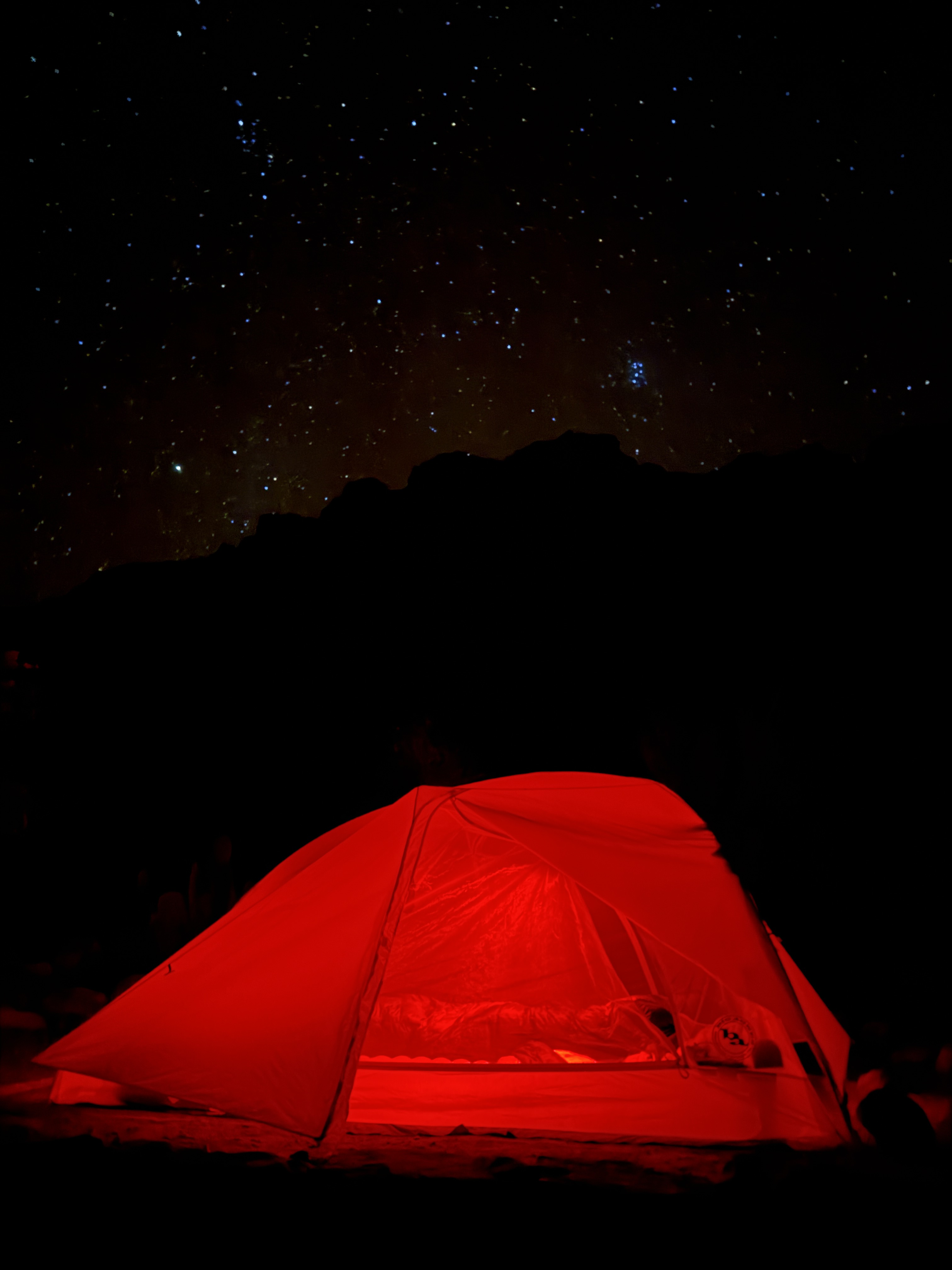
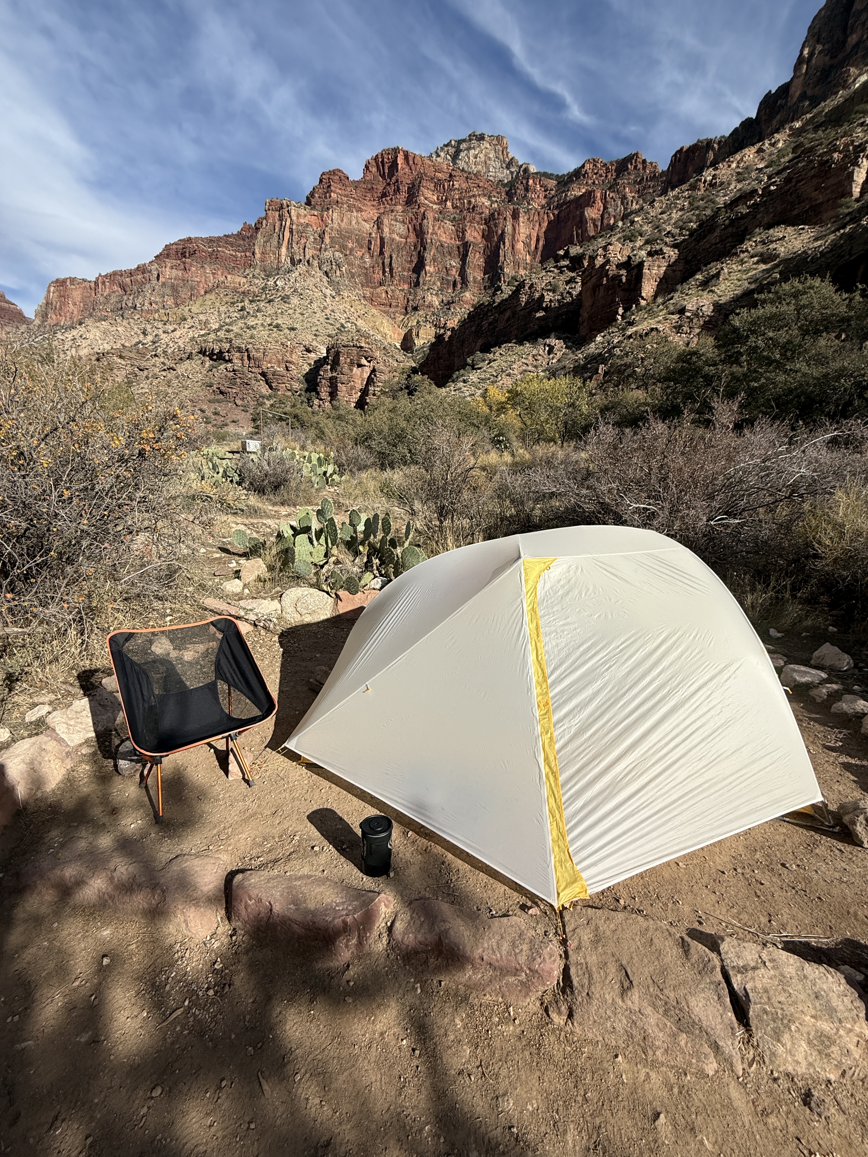
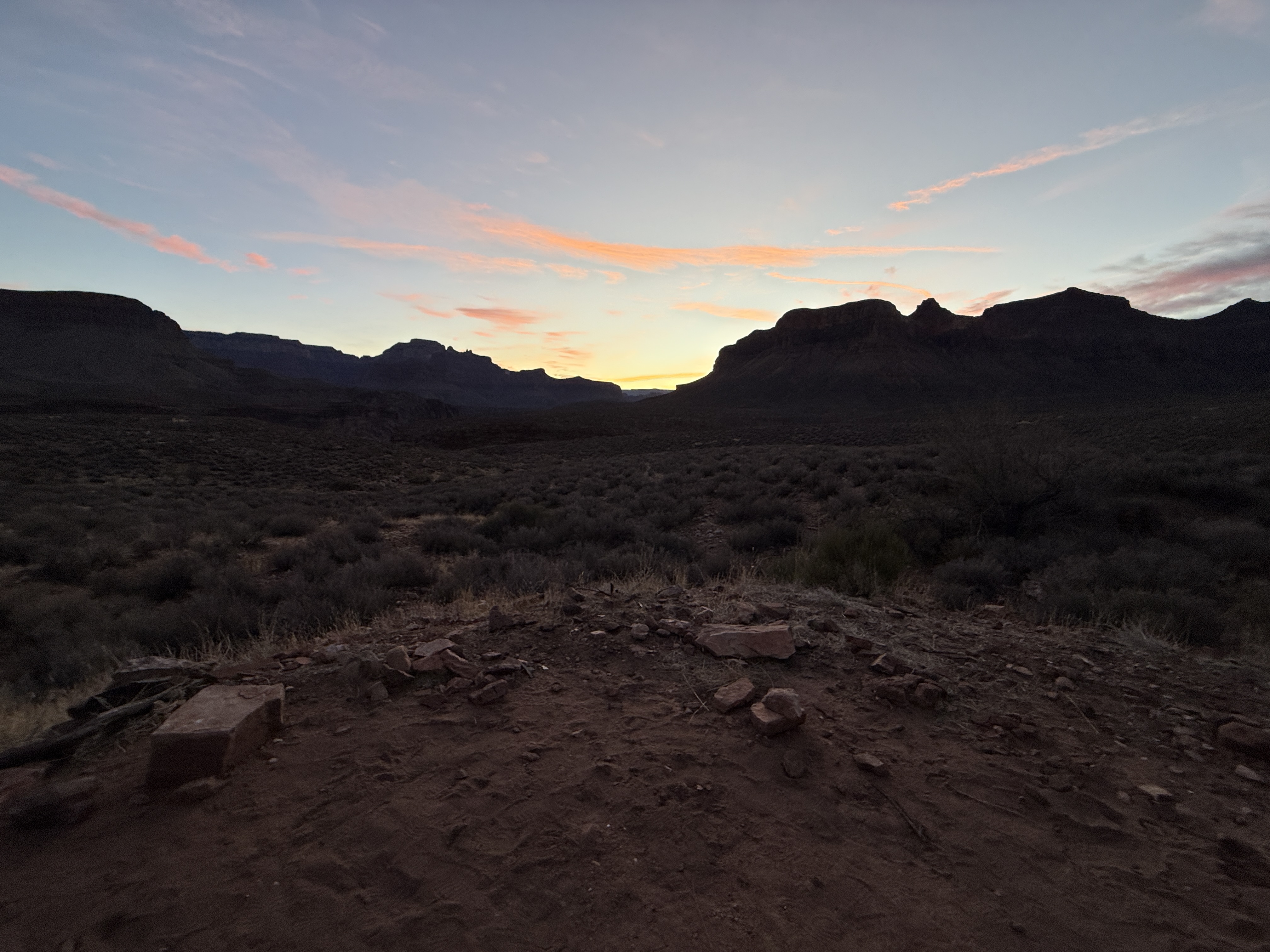
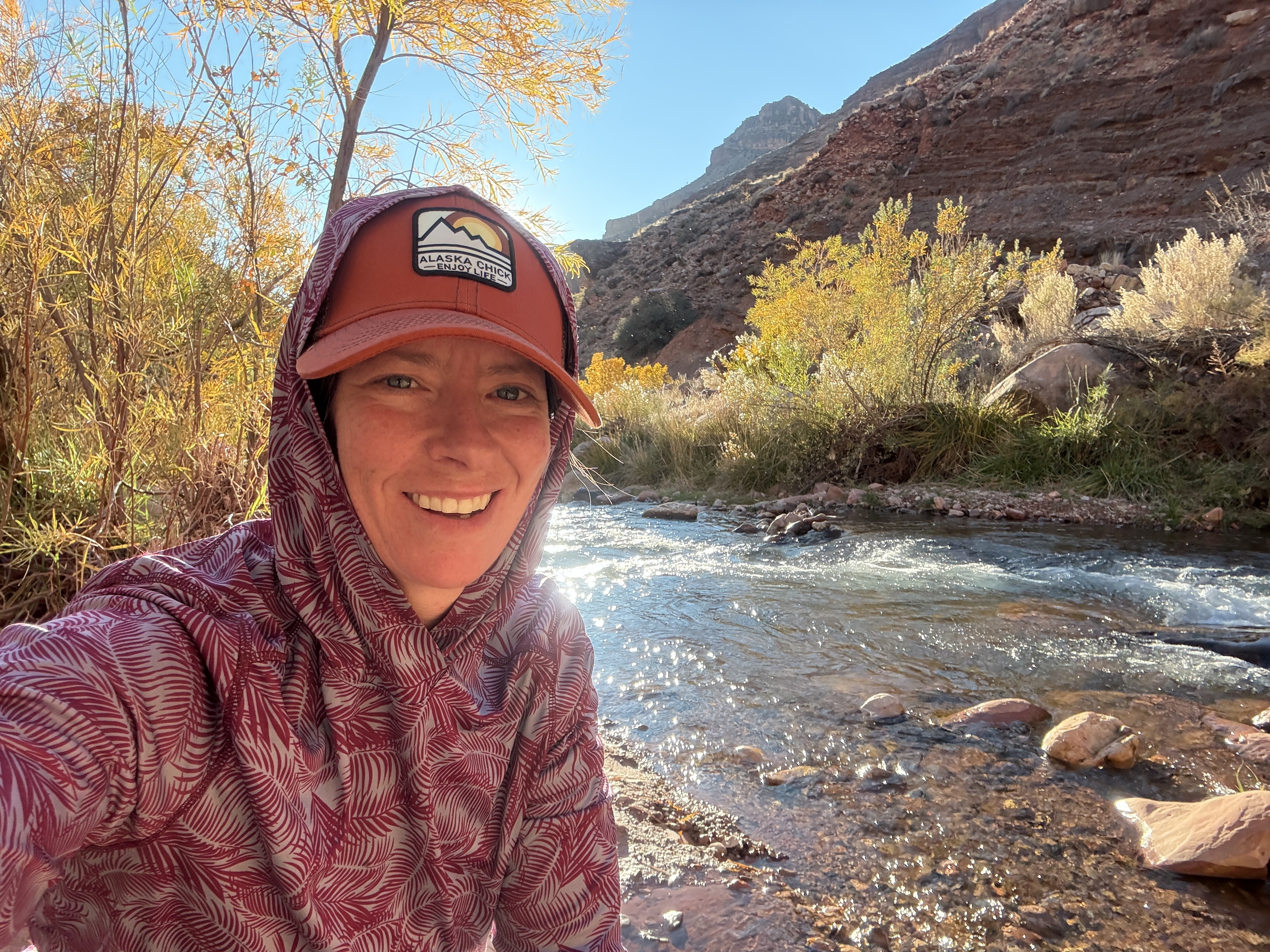
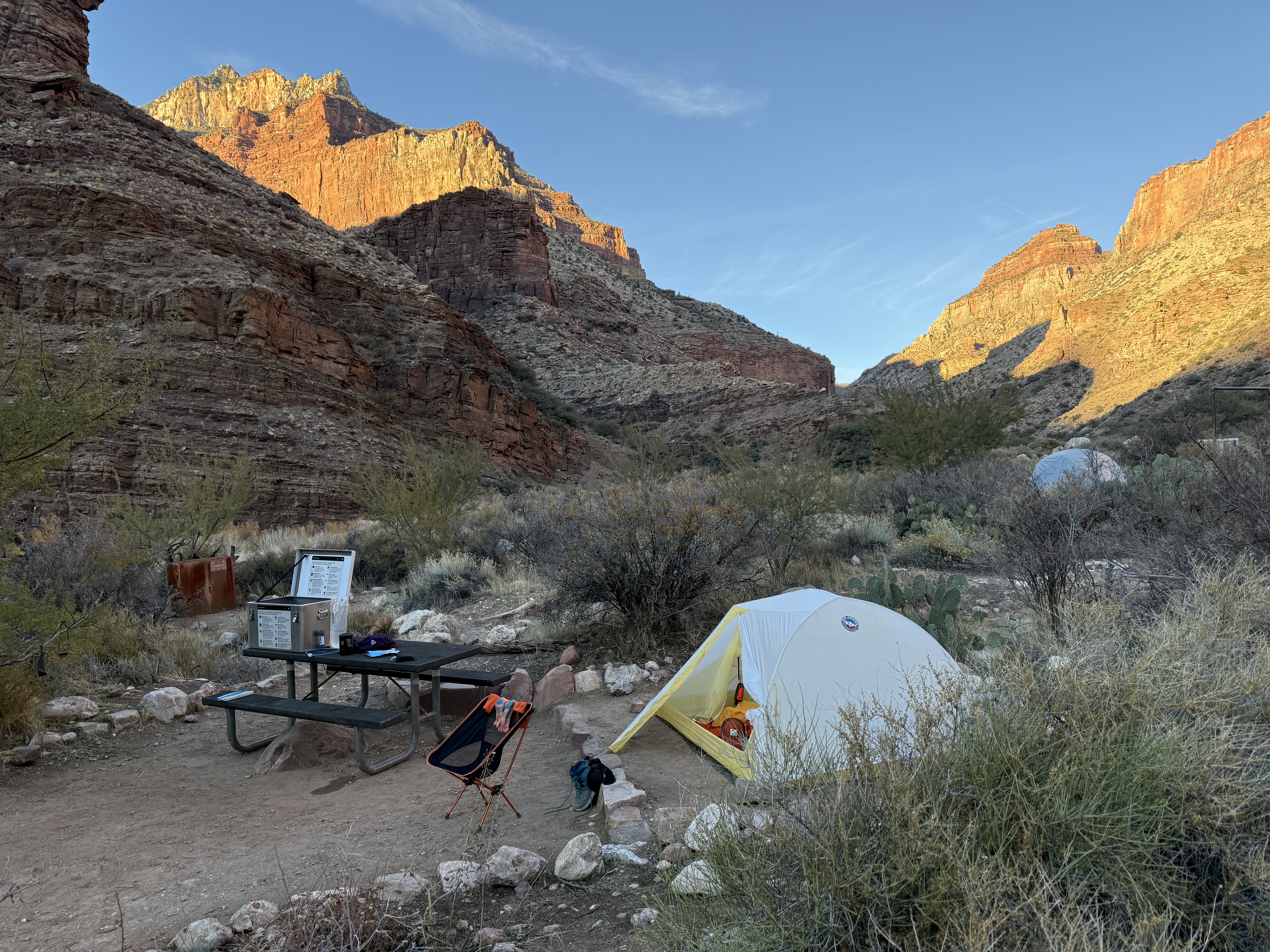
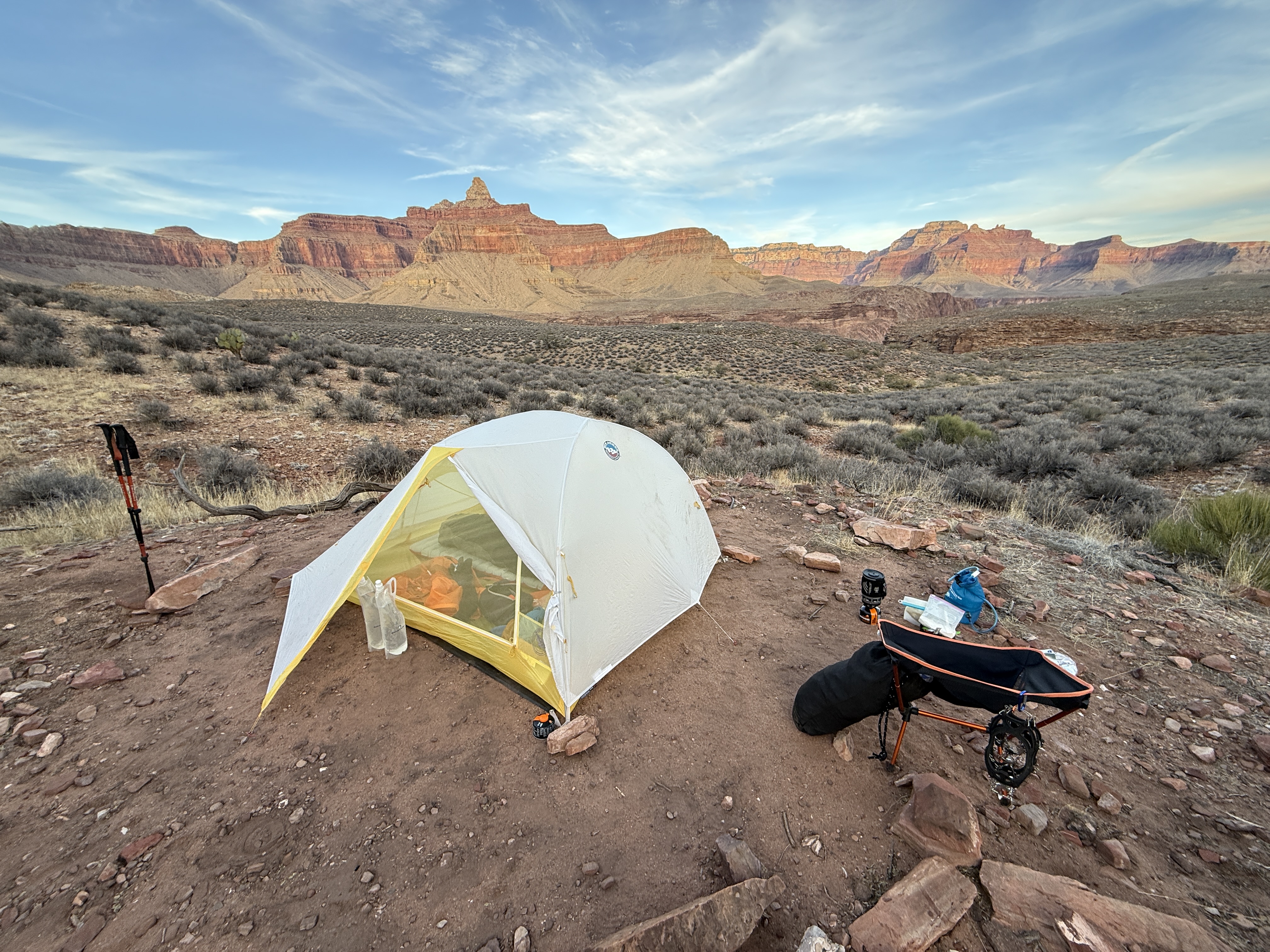
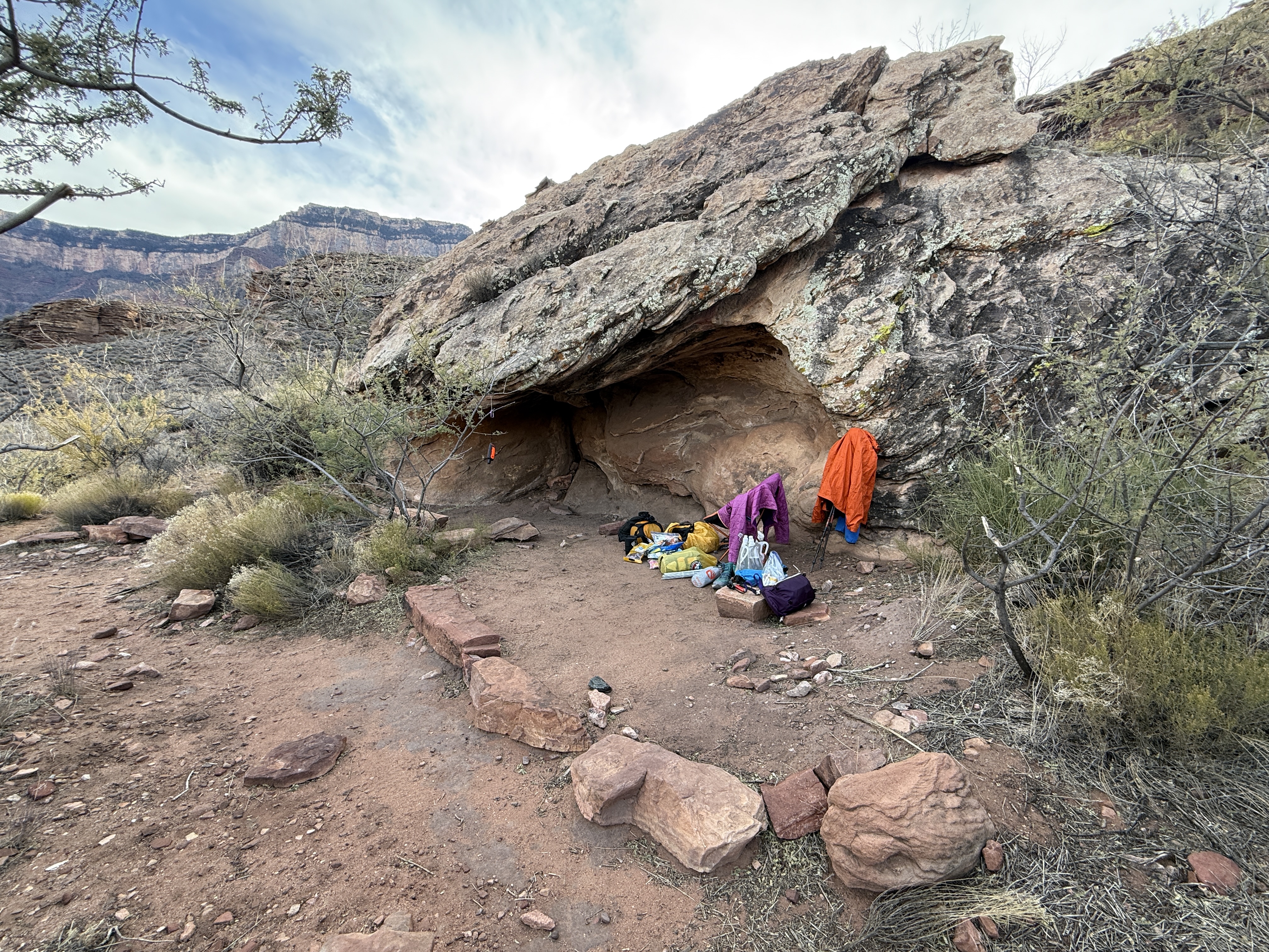
The choice to cowboy camp under the stars was a great one. I wasn’t bothered by any wildlife, and I was able to wake up every once in a while, to see how the night sky had spun. By 530am I was packed and moving in the dark. All of my hiking had been in the day and this morning afforded me the opportunity to have some introspective moments uninterrupted by awe inspiring views. Being an Alaskan, I was comfortable in the dark with just a headlamp, and had no trouble navigating through the scrub brush.
I thought about how the last five days had been good for my soul, and how I had never had an experience that quite rivaled this one. I felt completely at ease the entire time, not once questioning my abilities or why I was there. Not one bit of anxiety or fear.
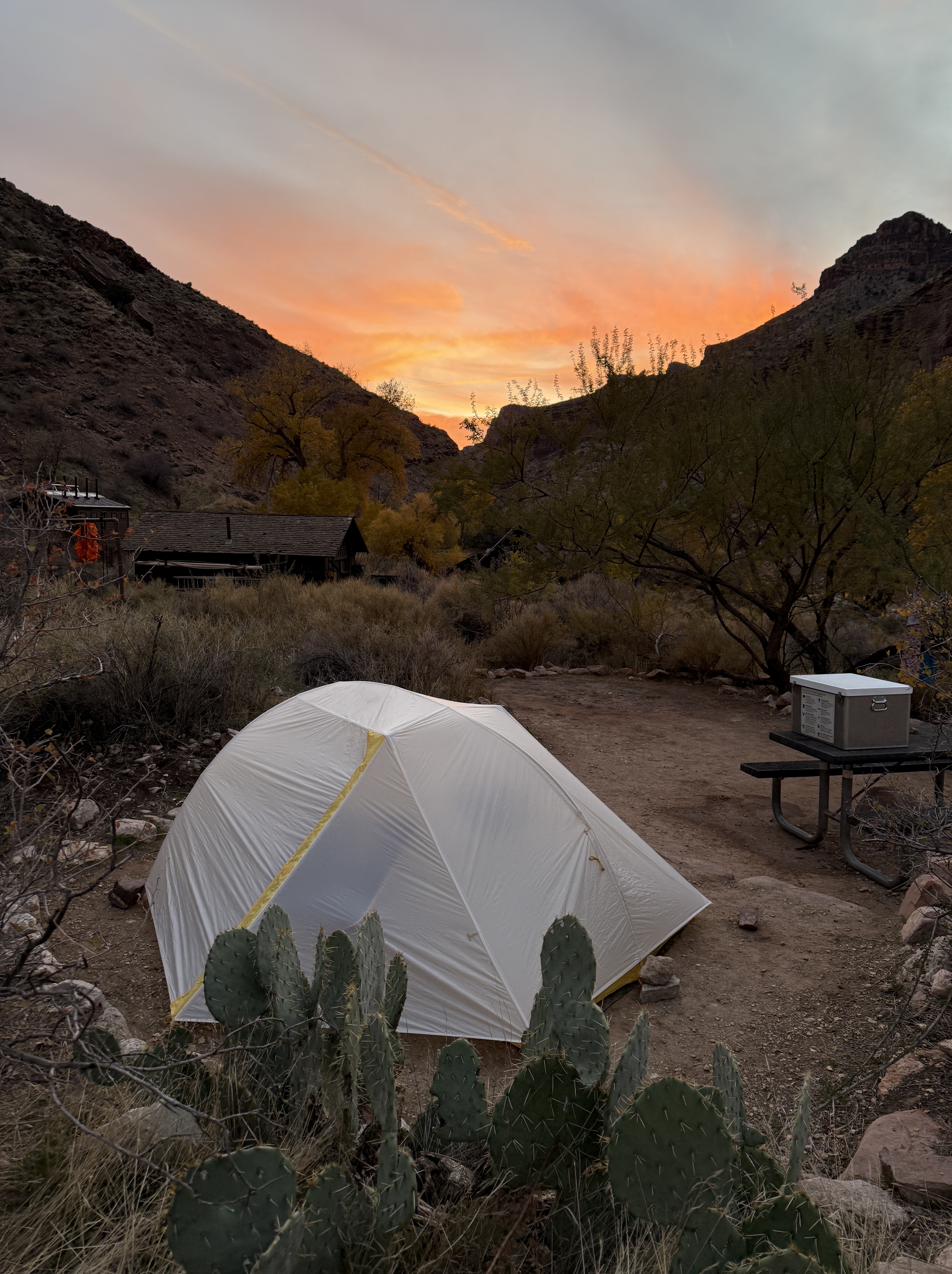
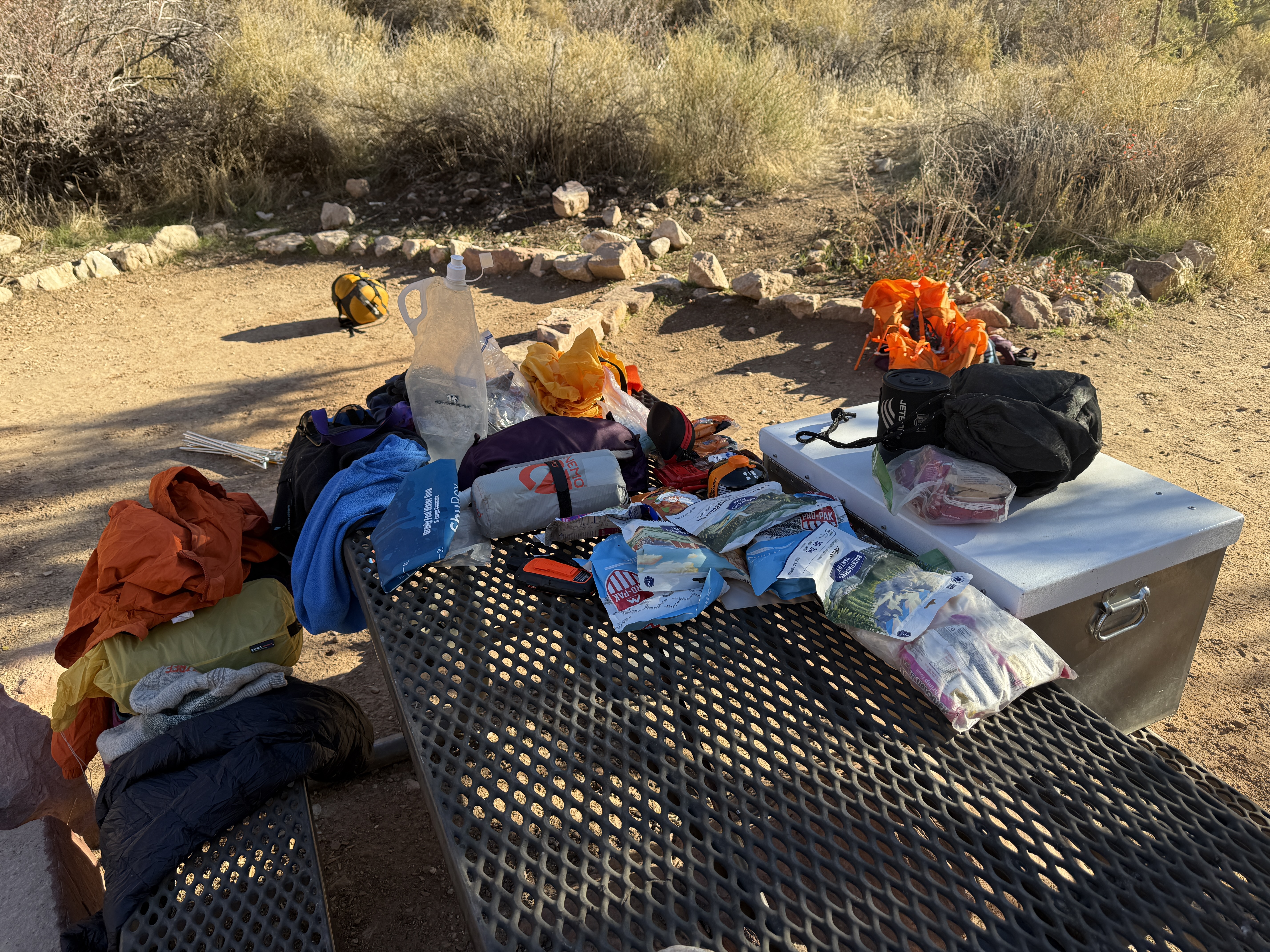
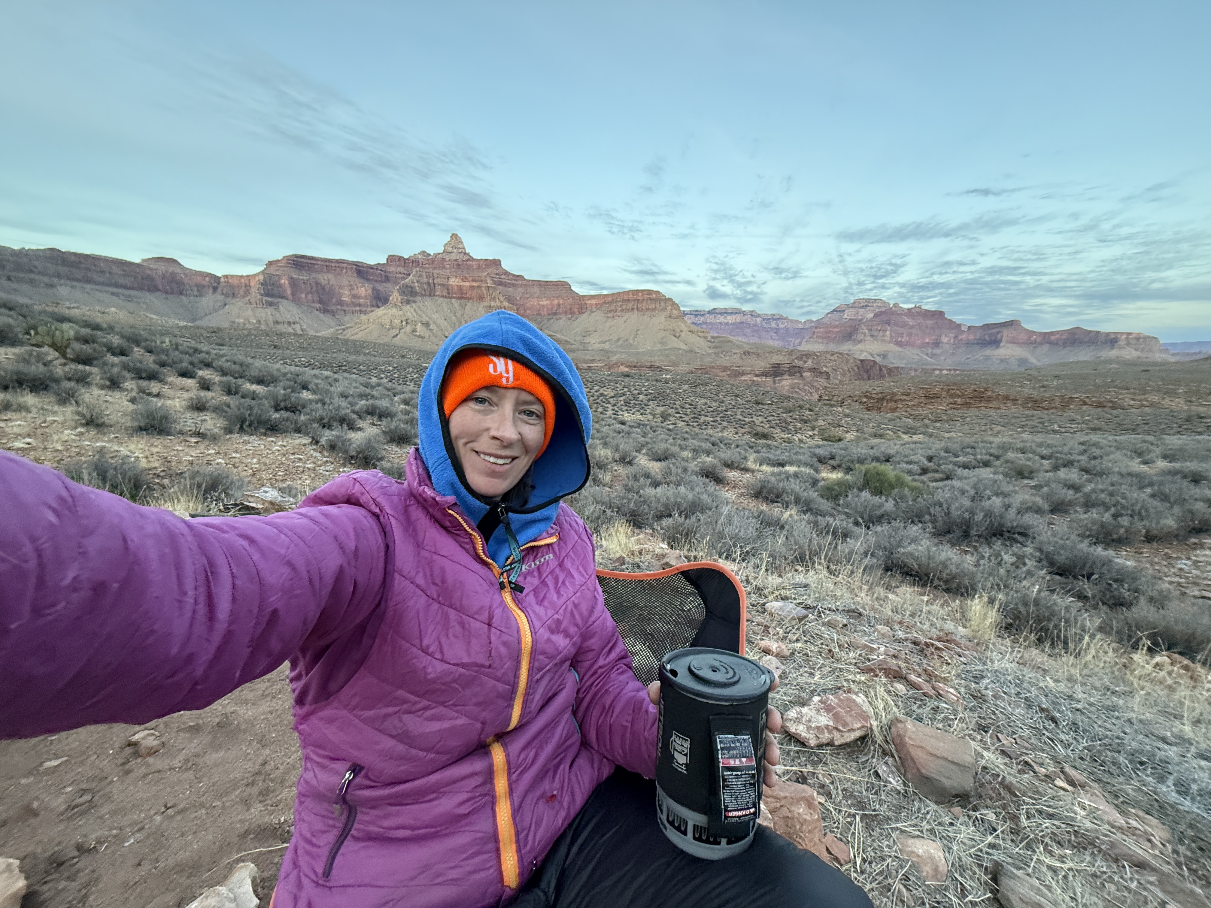
The early start would give me plenty of time to ascend back to my starting point at the Kaibab Trailhead on the South Rim, get a shower, do laundry and then make it back to Phoenix in time for my flight early the next morning. I would be sleeping on my Nemo pad tonight, but instead of being under the stars, I would be in an airport.
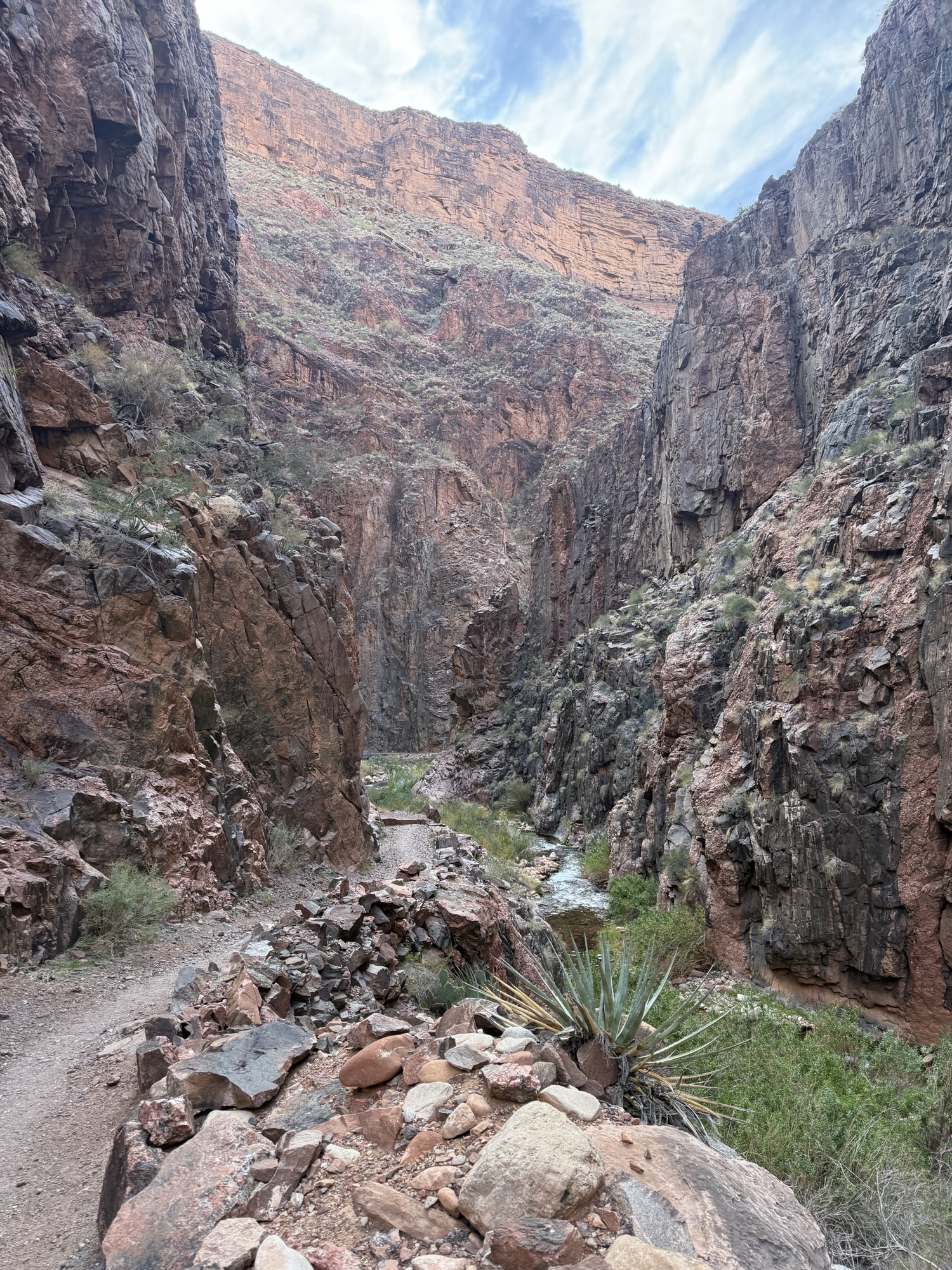
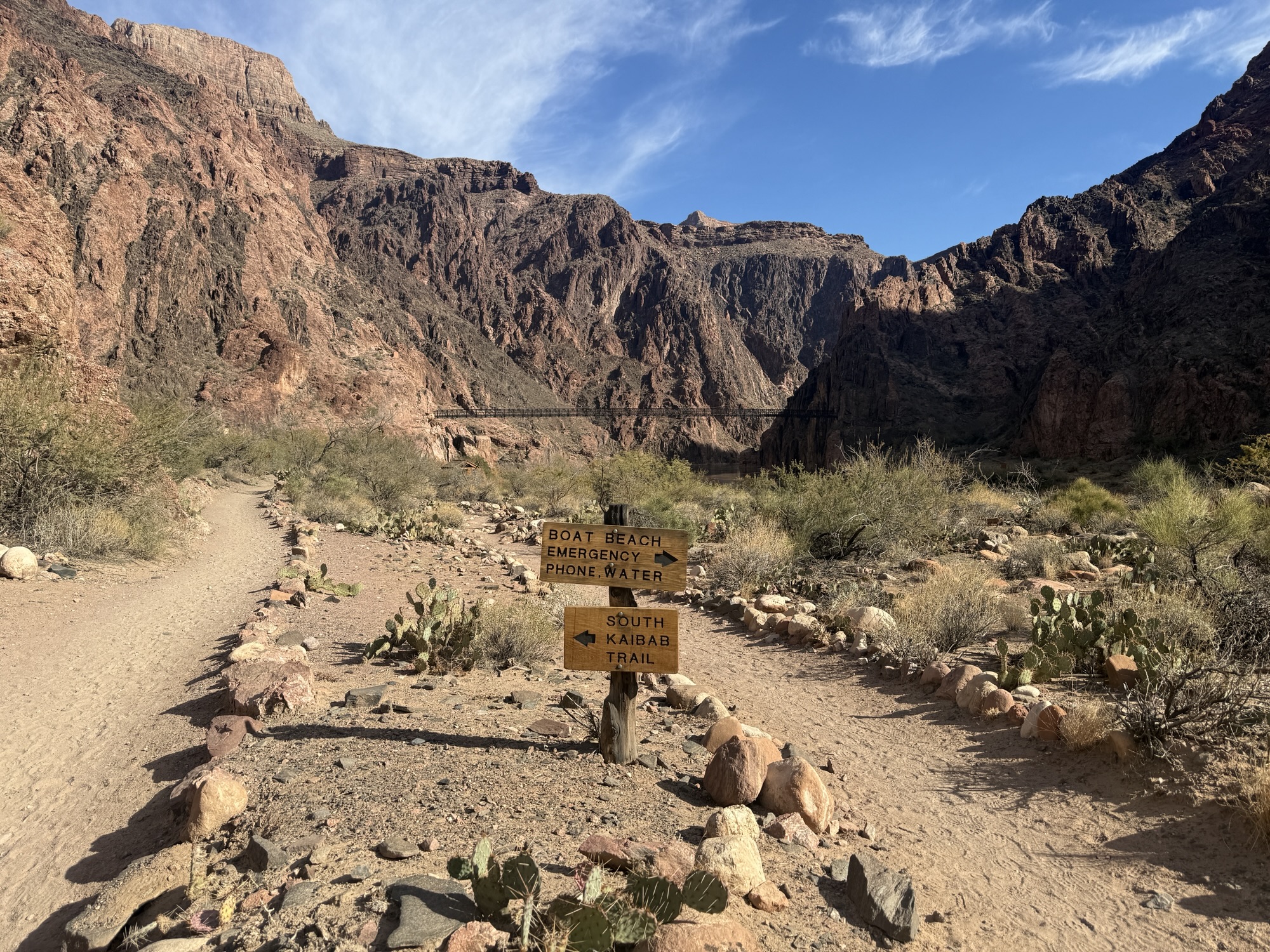
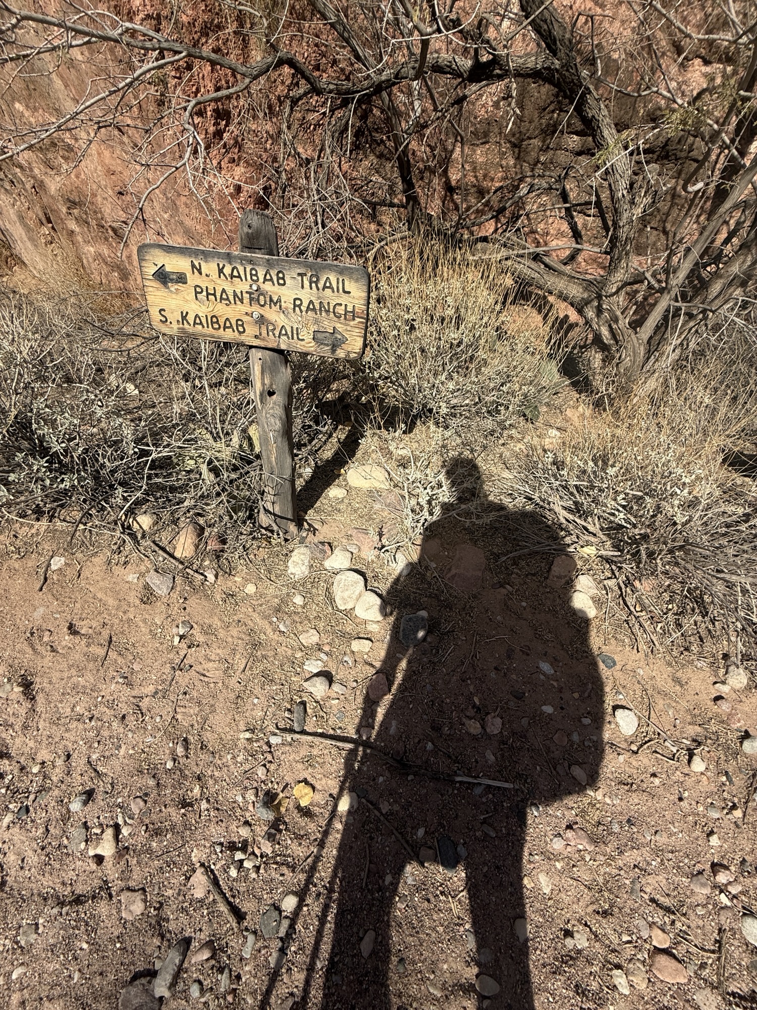
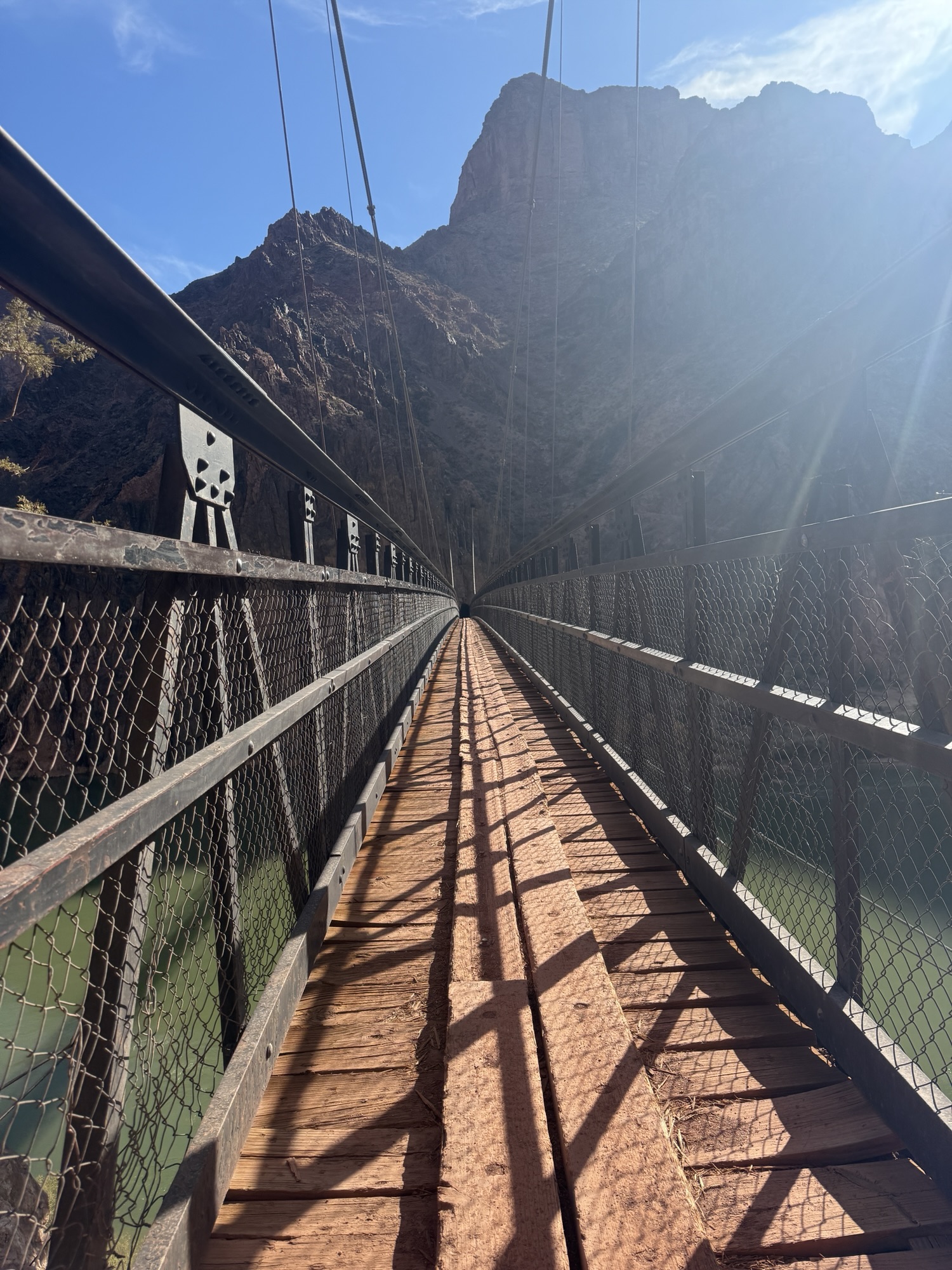
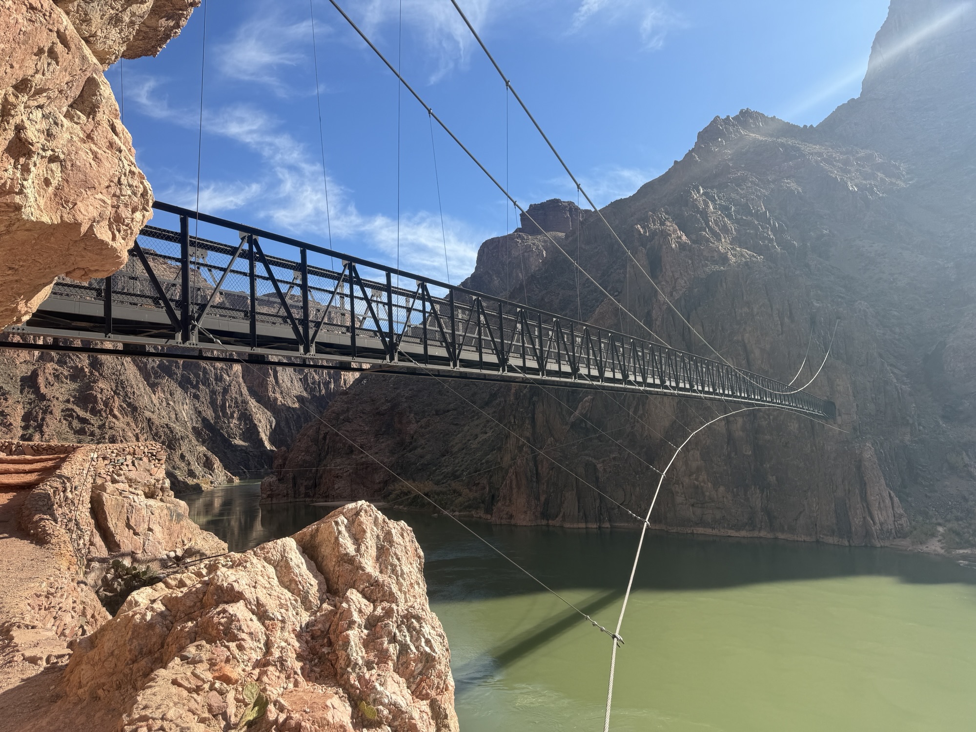
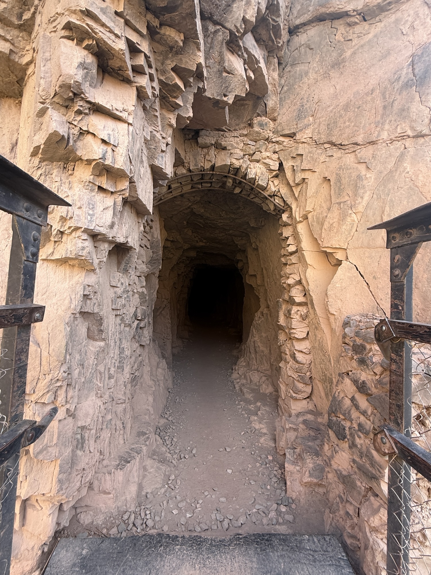
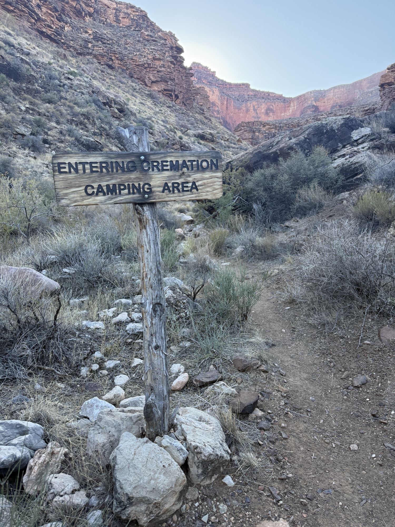
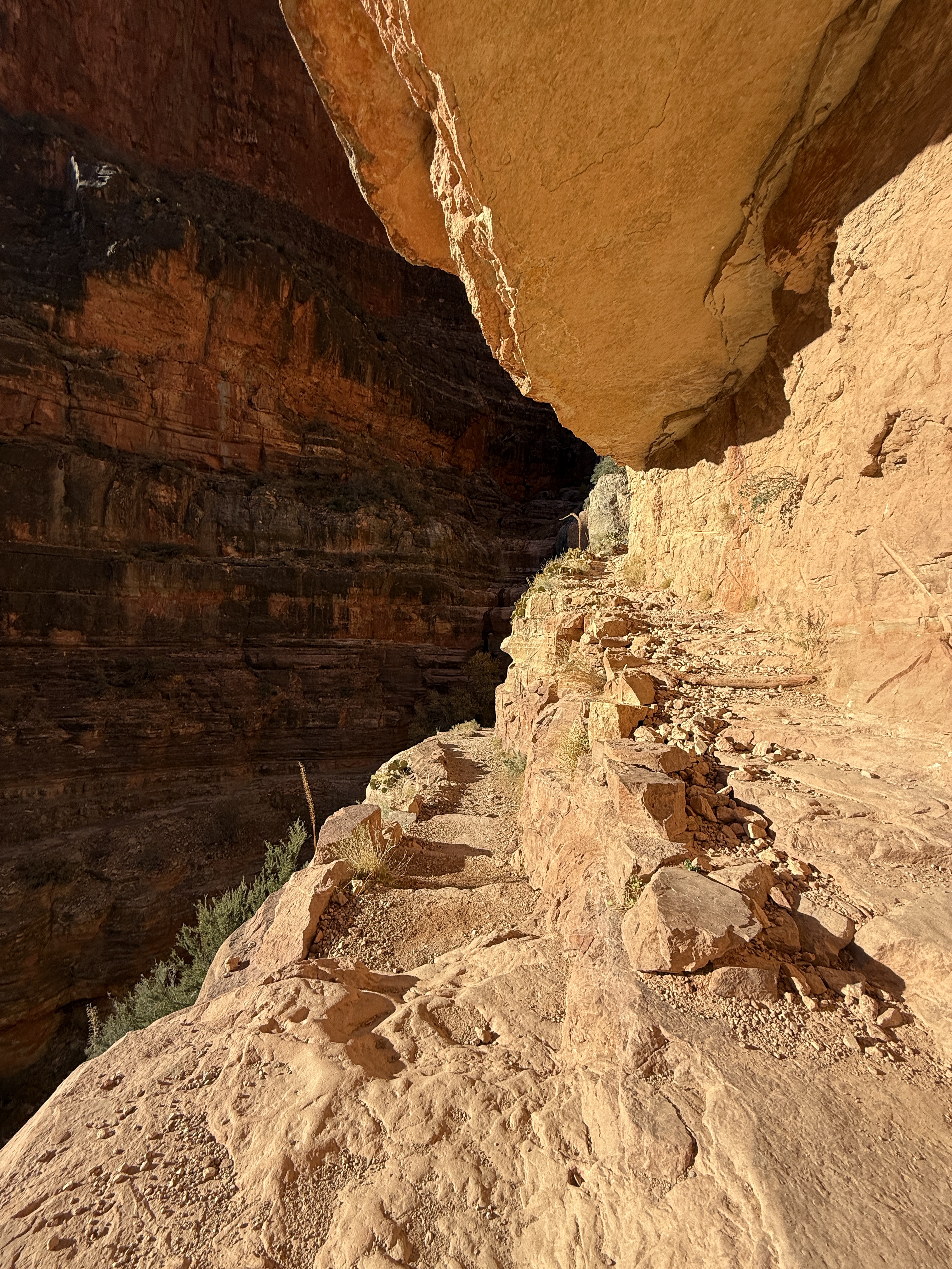
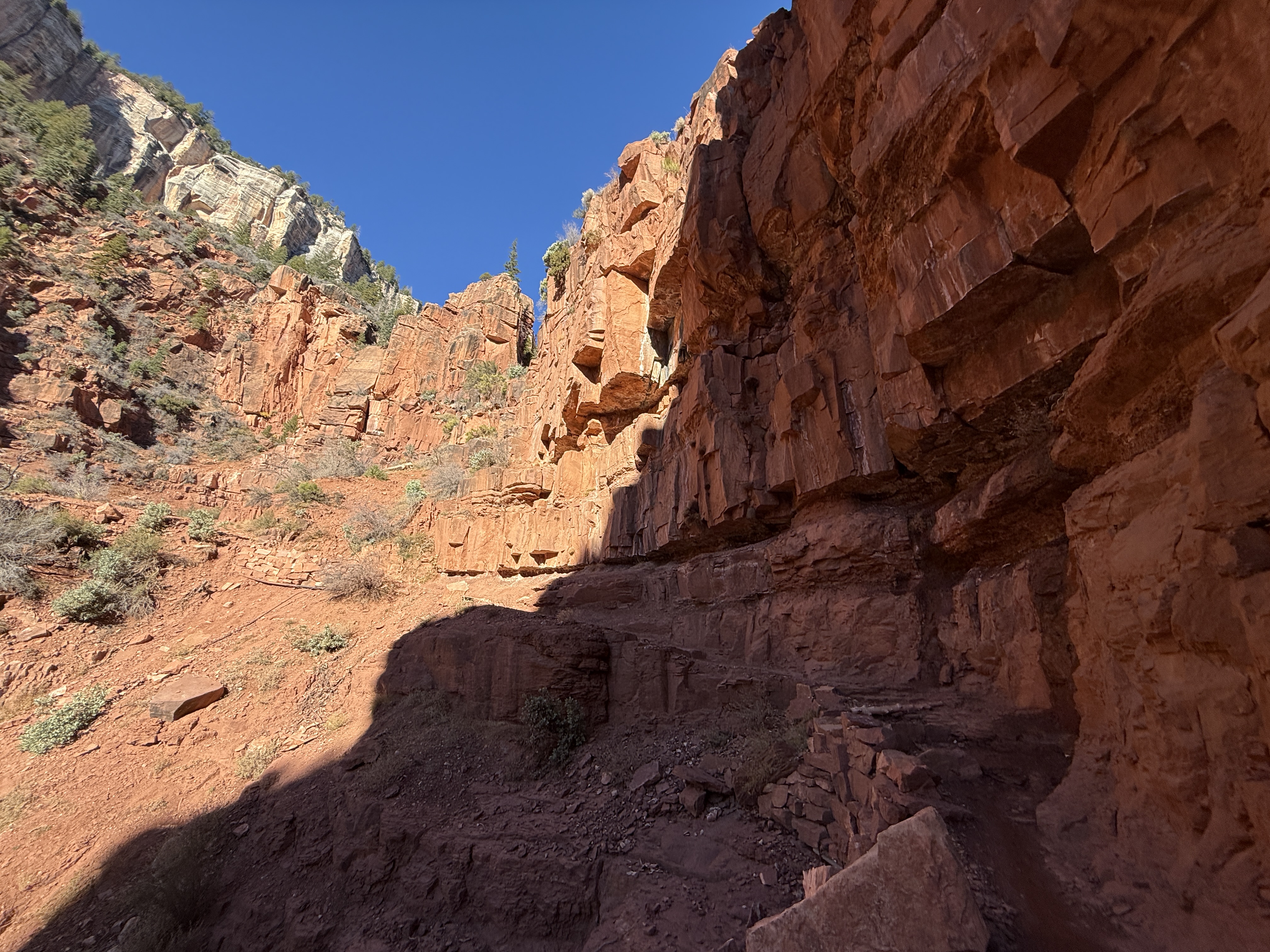
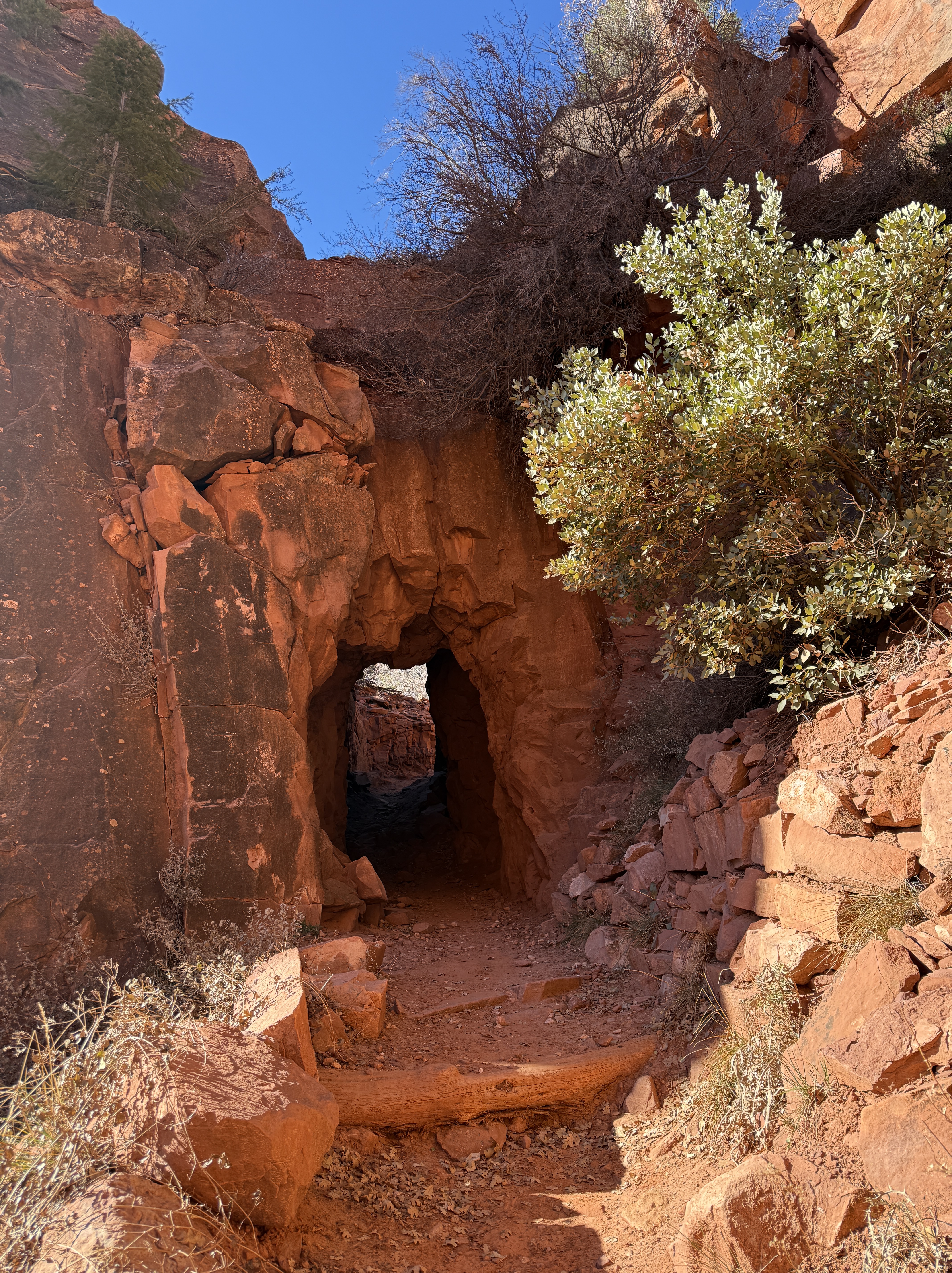
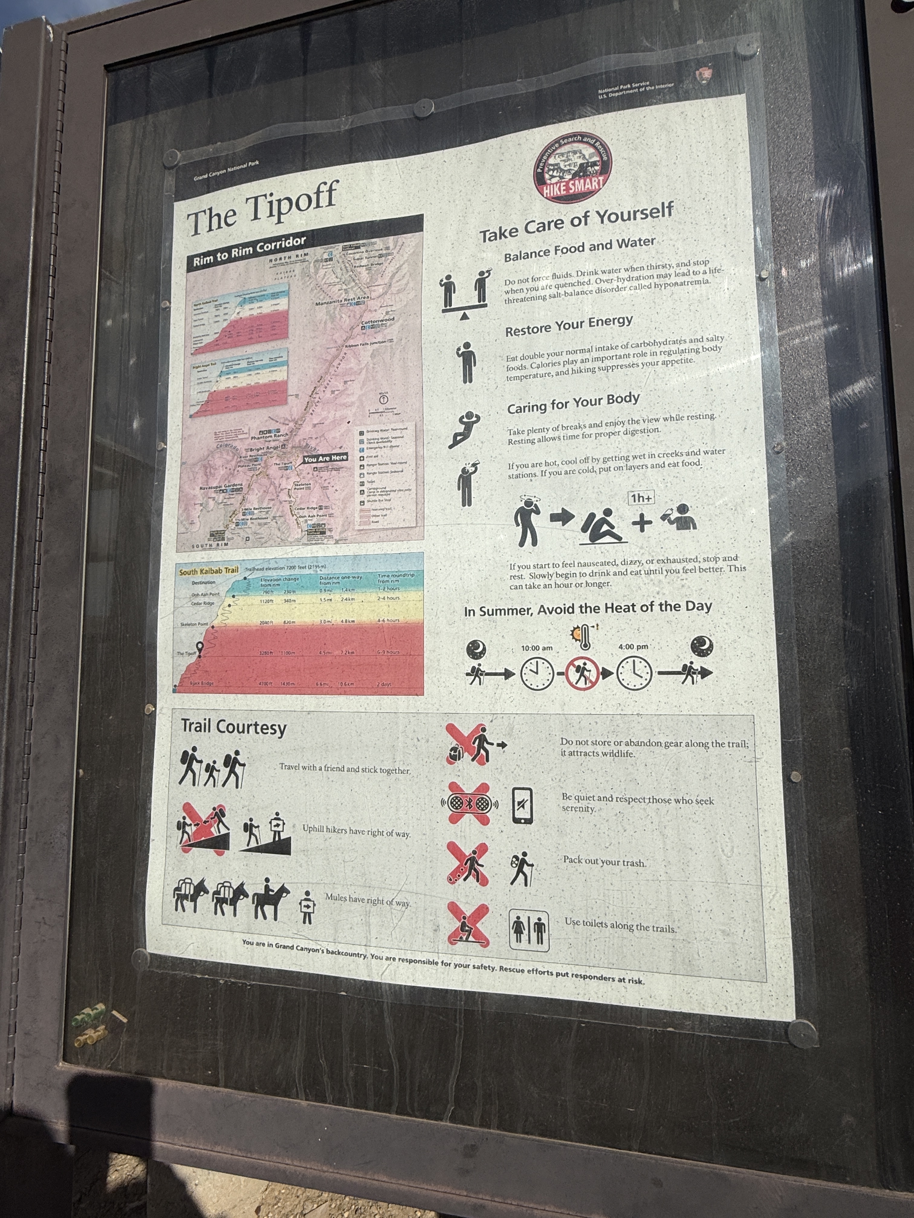
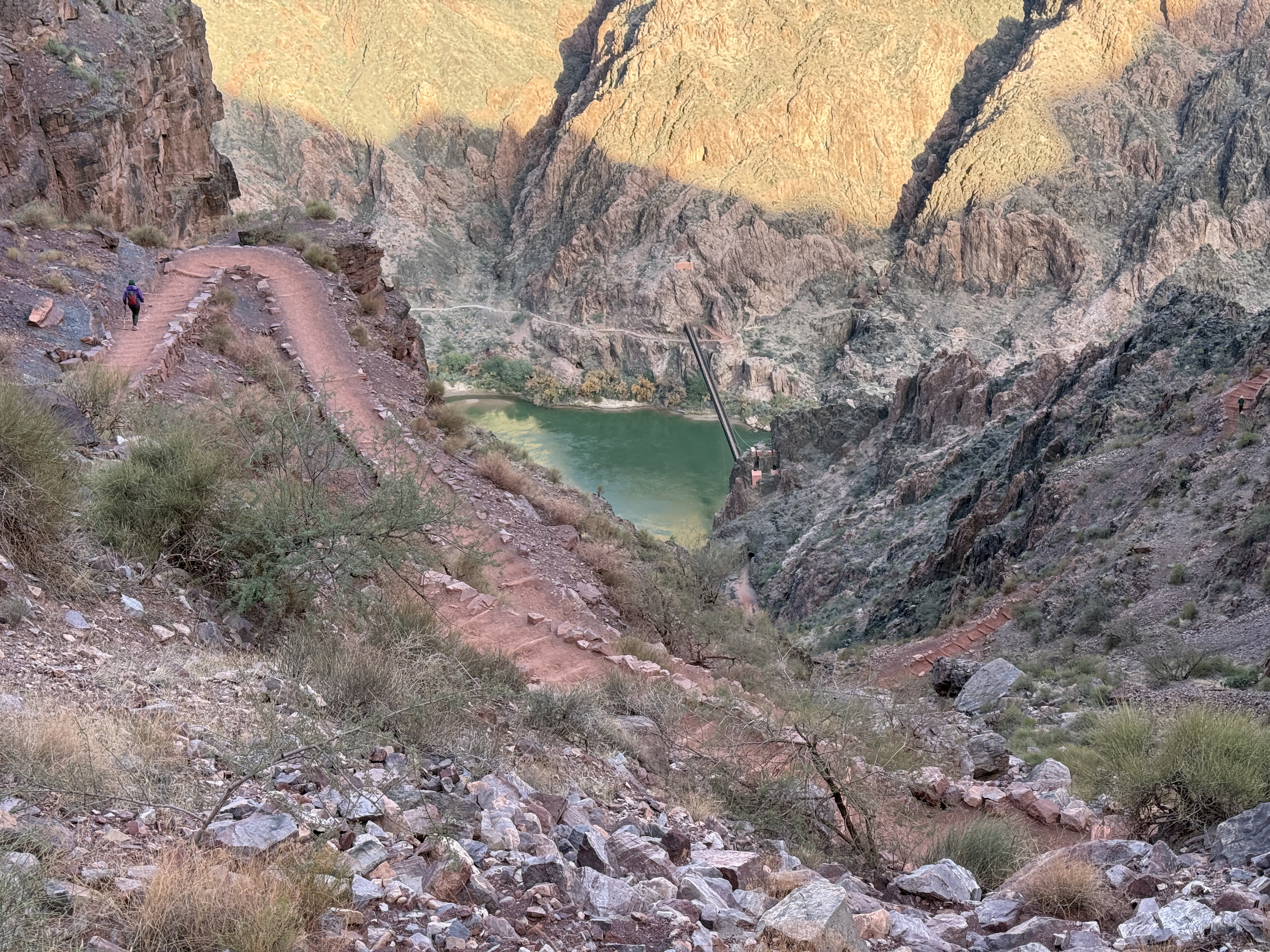
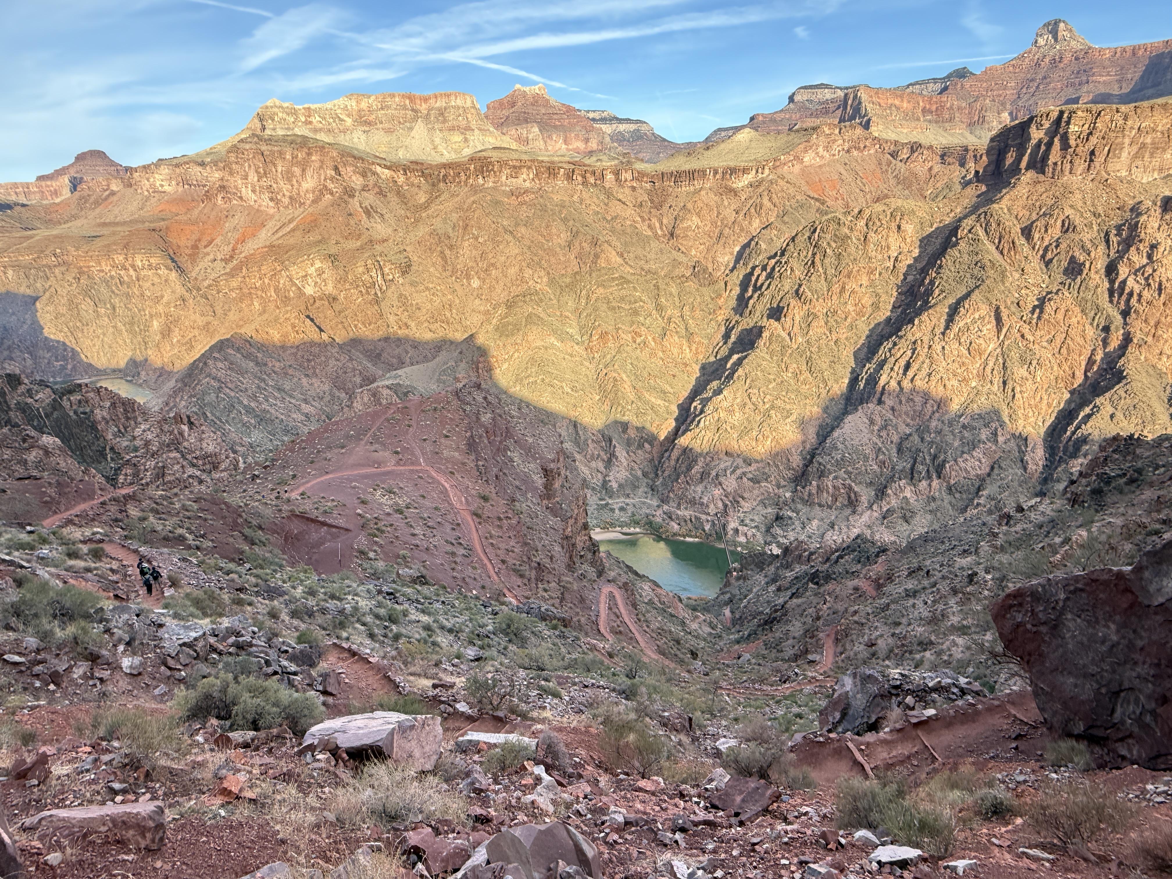
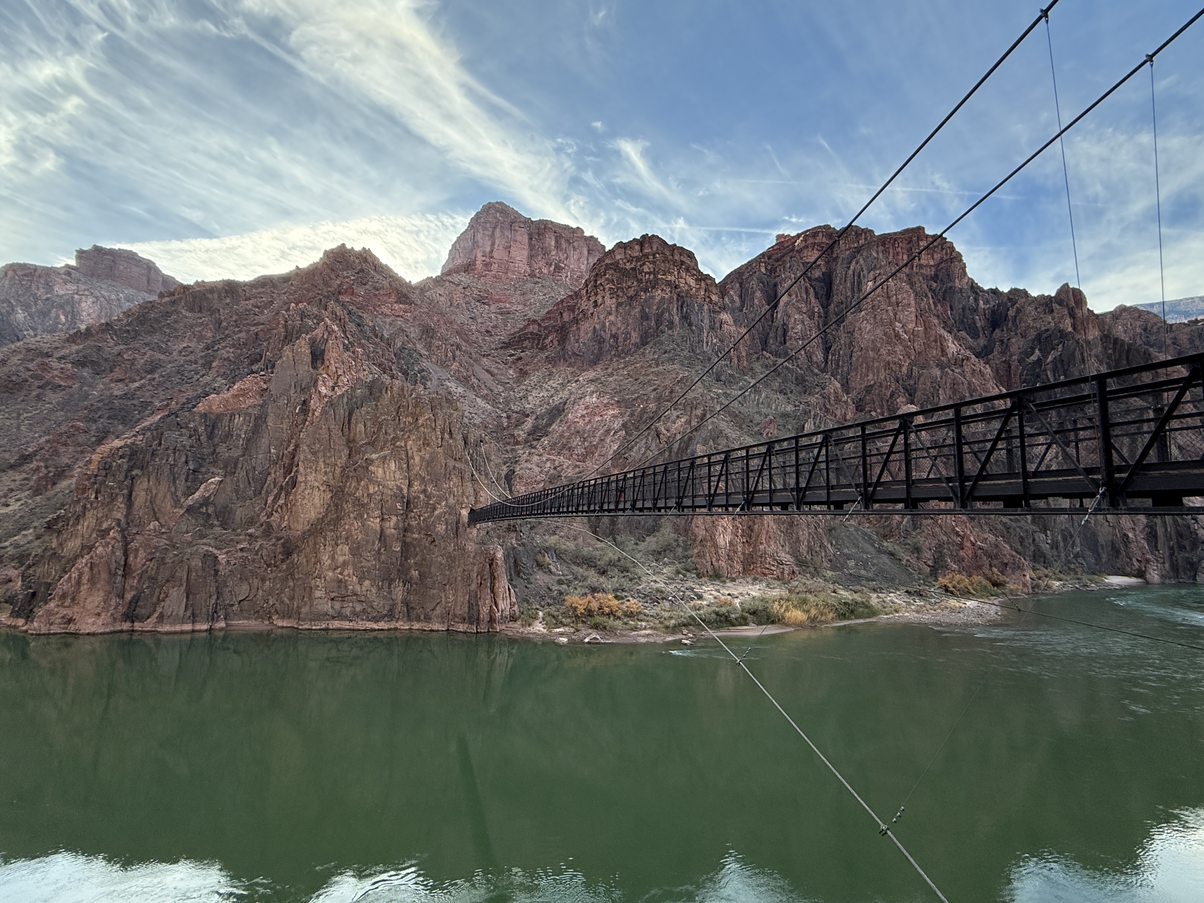
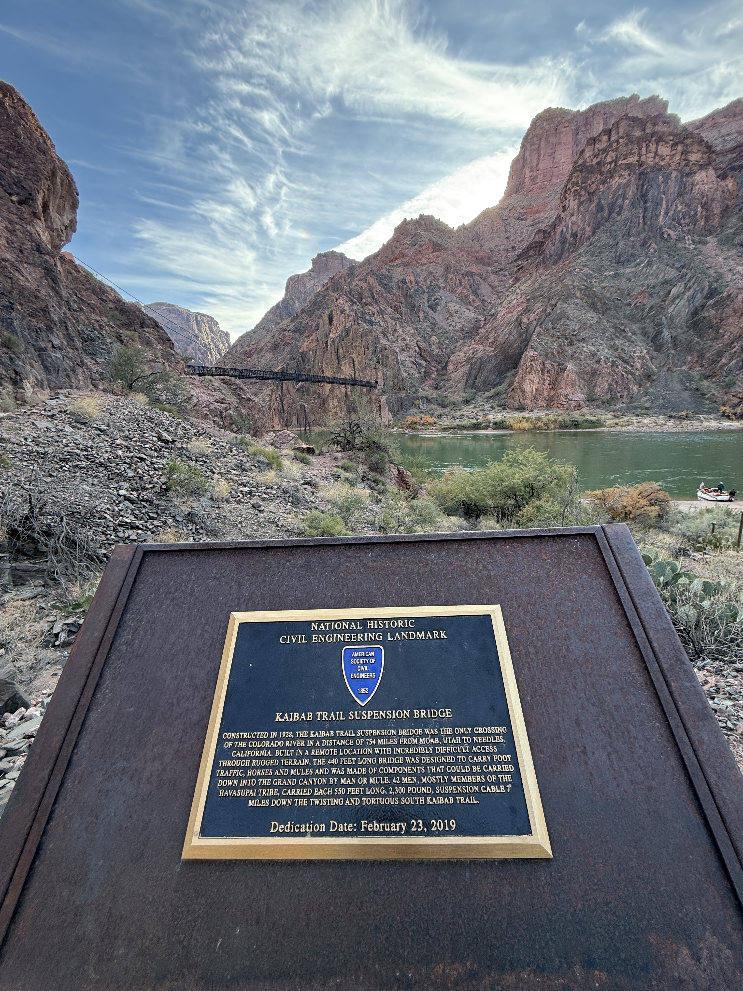
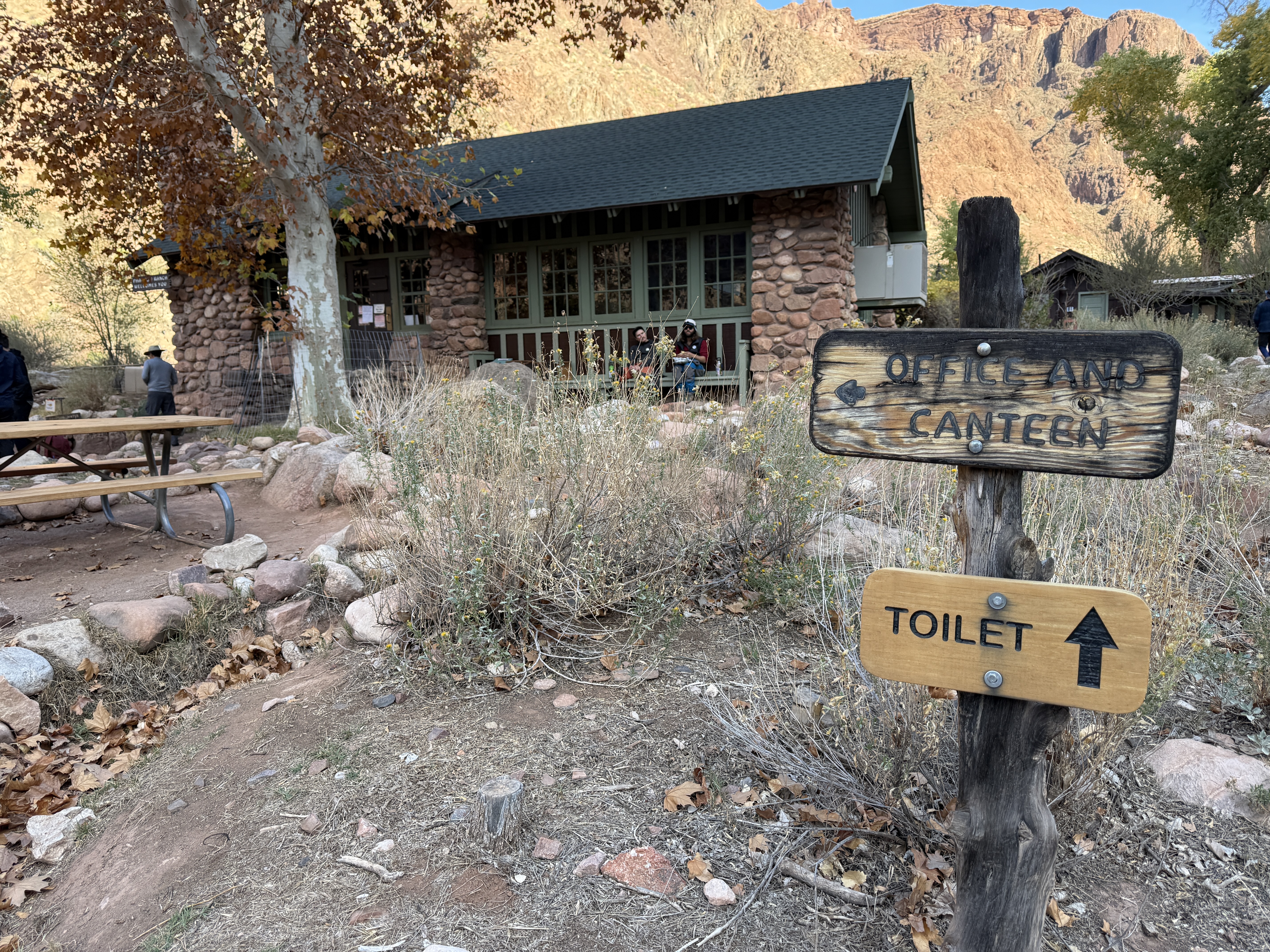
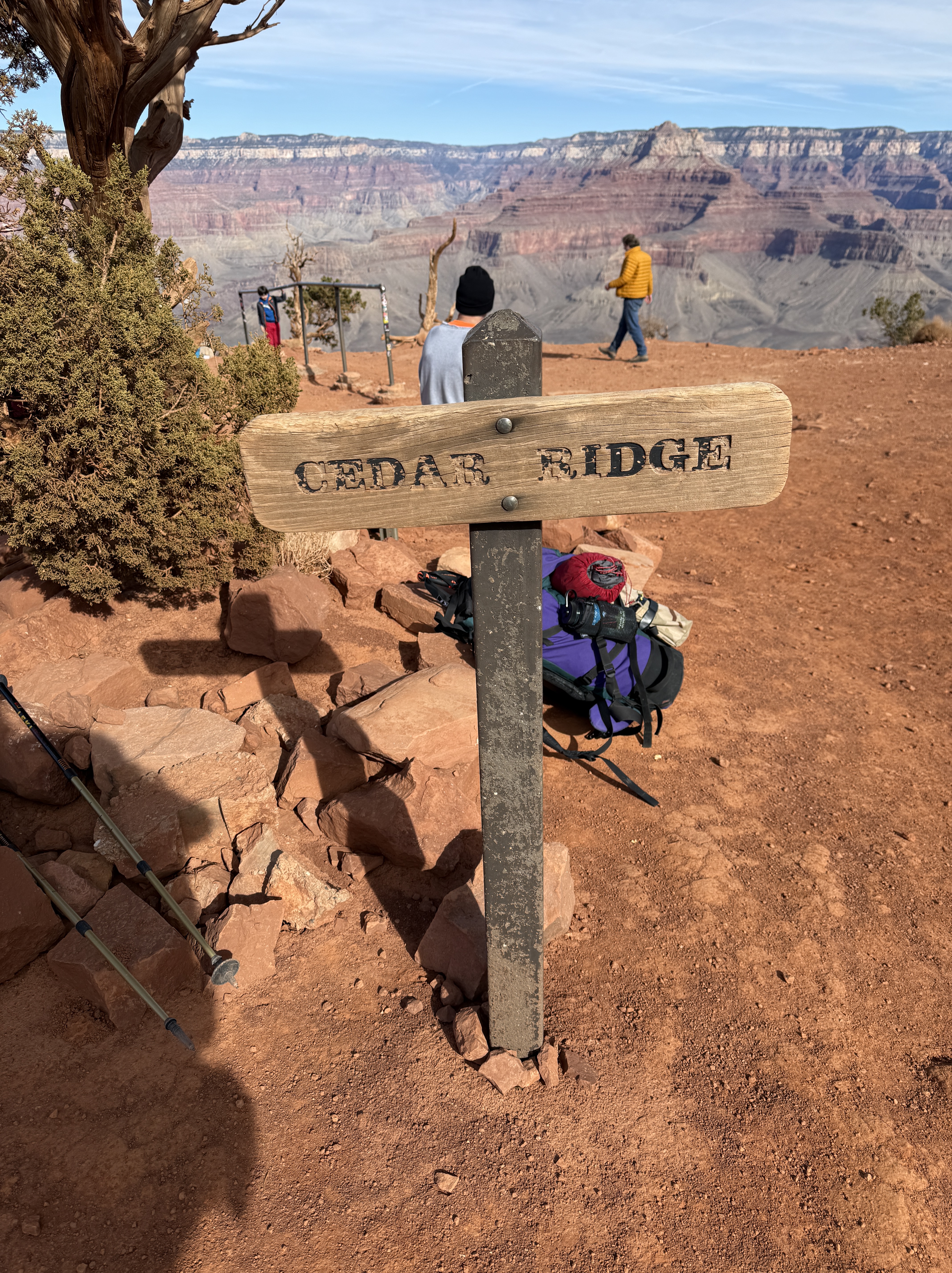
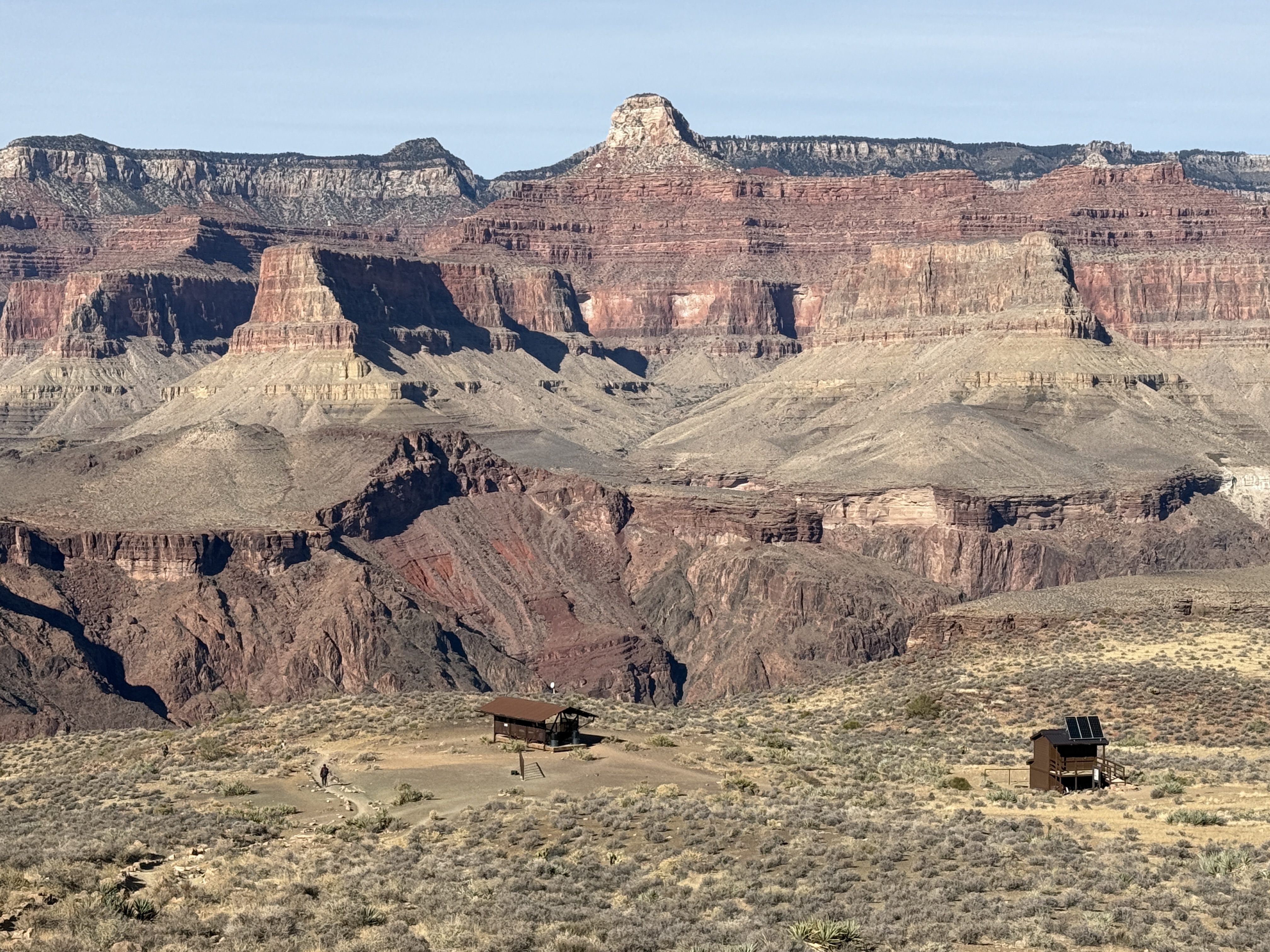
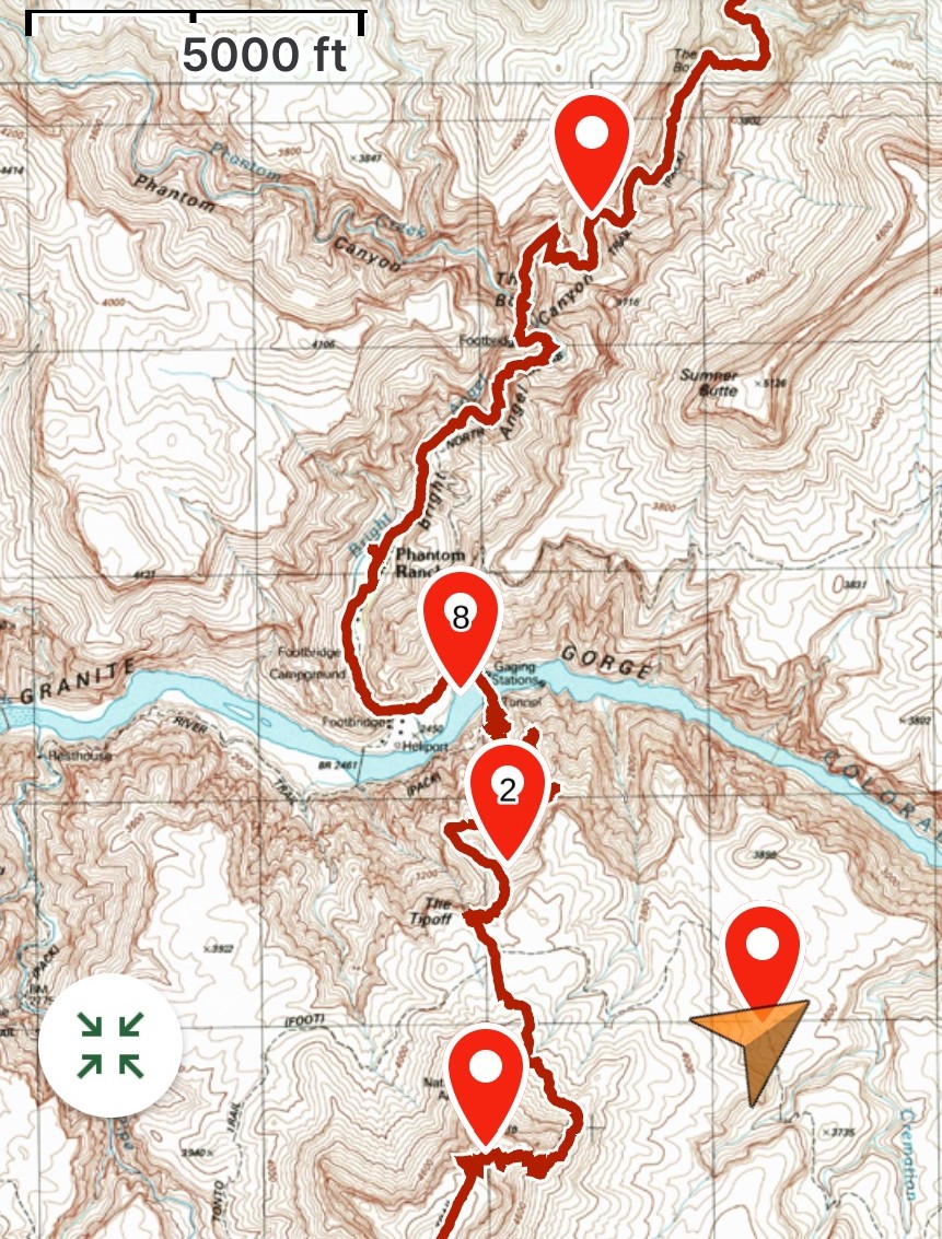
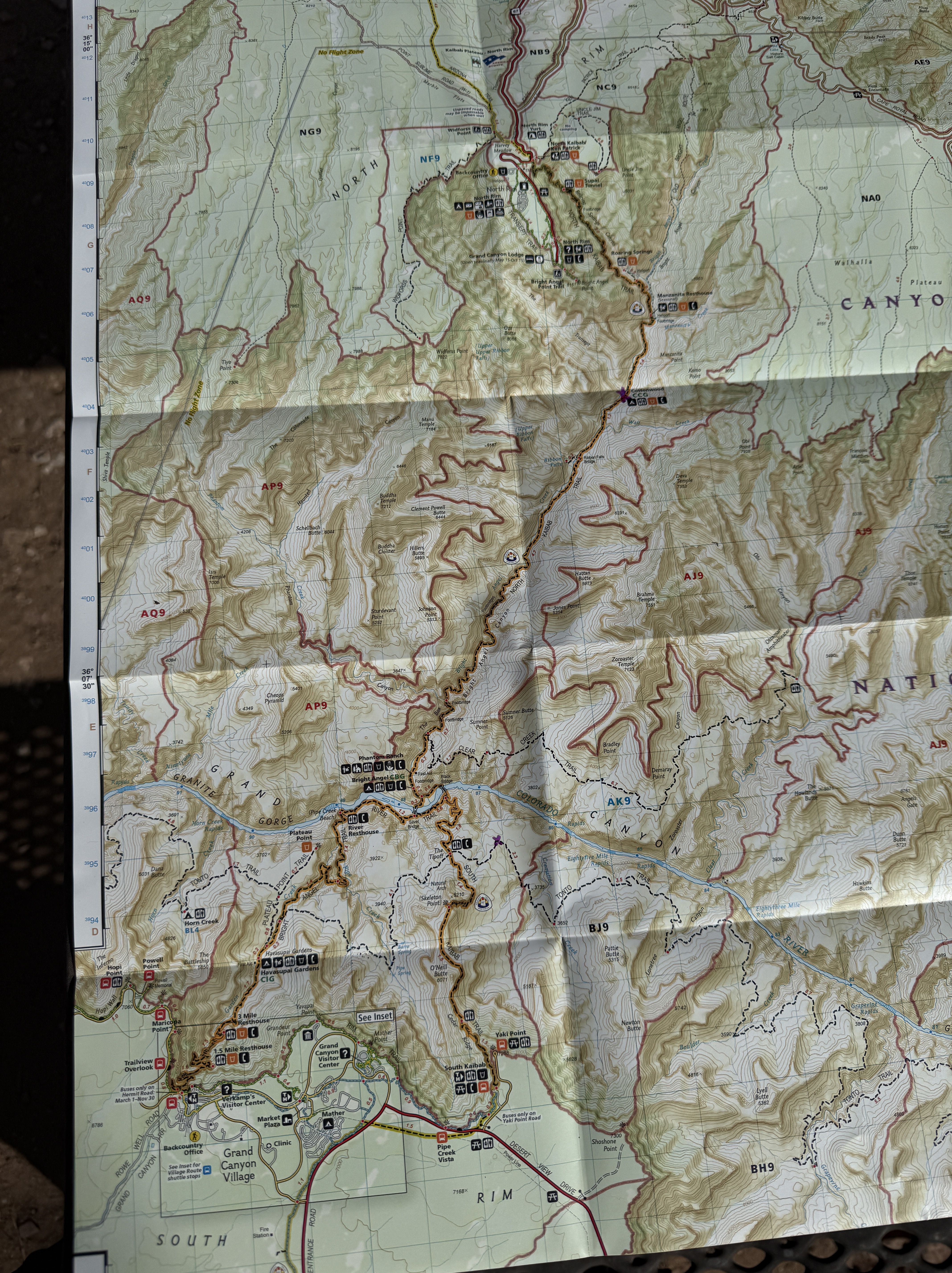
I made it the two miles to Tip Off in an hour and I had officially succeeded in not having to use any wag bags. One day I would hike the 95-mile Tonto Trail, and I wouldn’t be so lucky. There would be limited facilities on that trip. I saw headlamp lights and heard talking coming from the neighboring stall. I thought maybe the guys had a rough day and ended up sheltering in the bathroom. It didn’t make any sense, but it also didn’t make any sense that people were already here at 630 in the morning, not to mention sharing a bathroom.
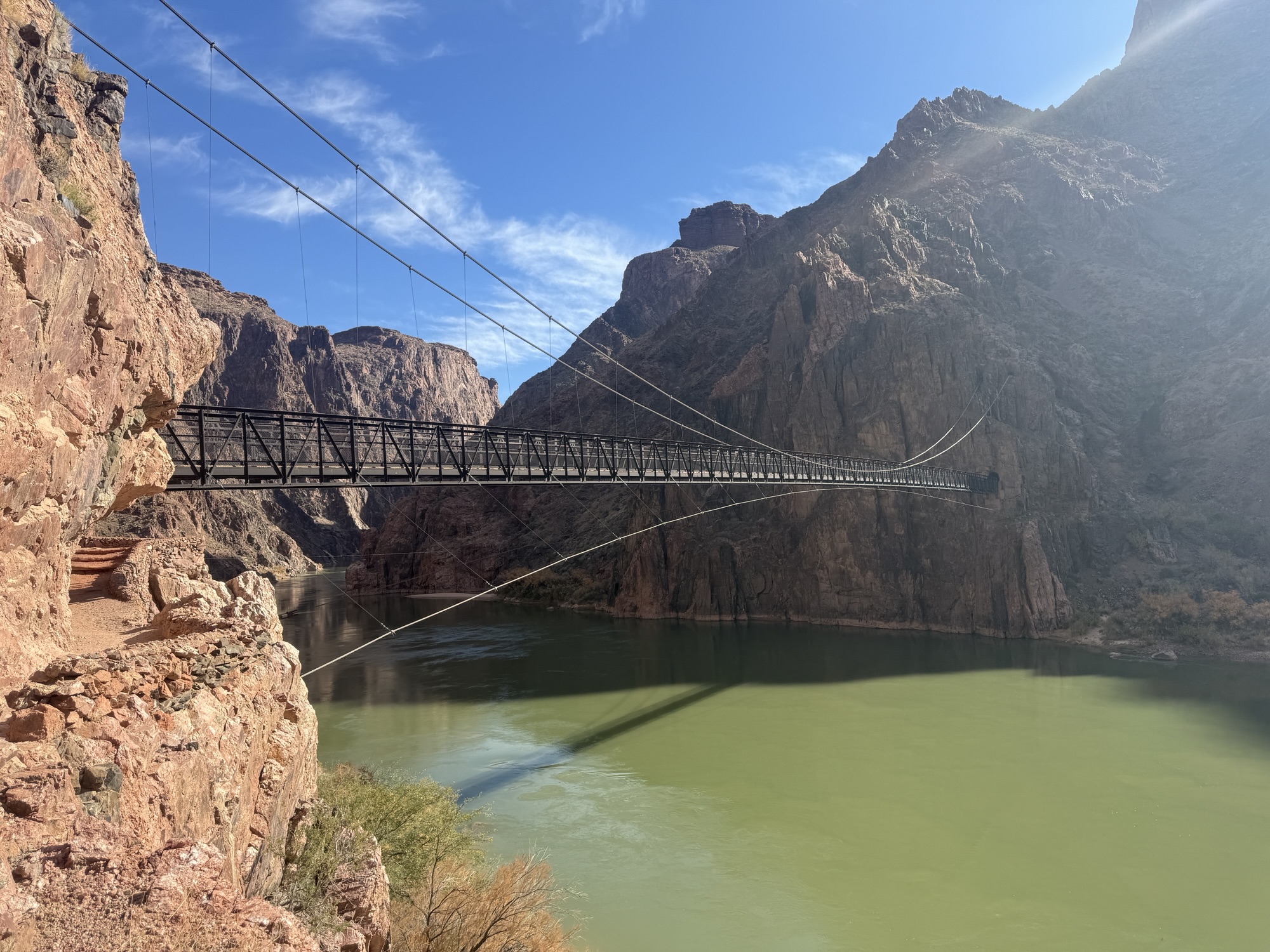
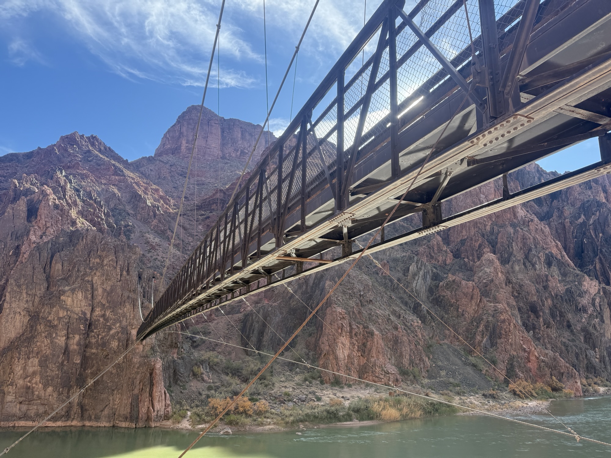
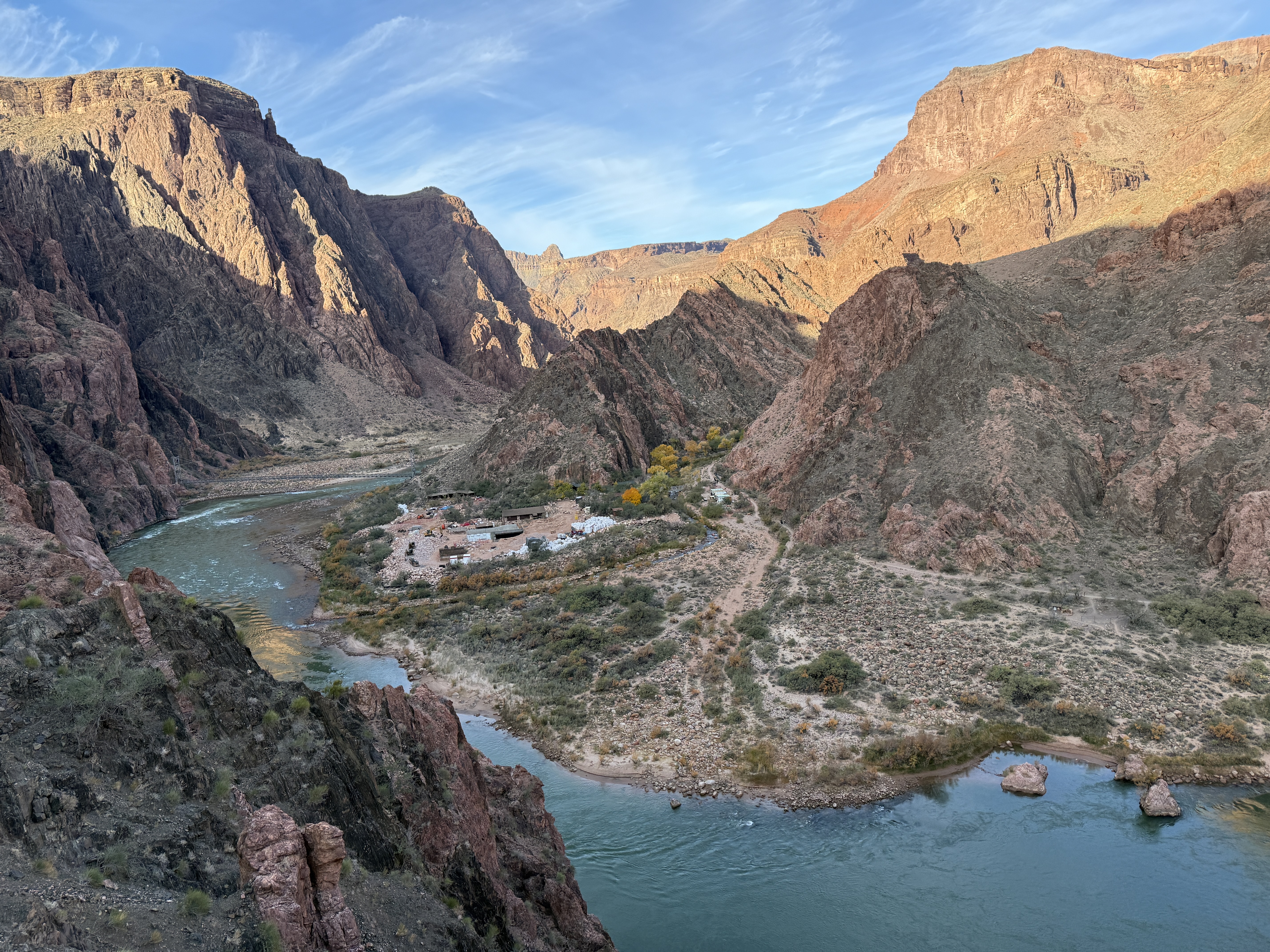
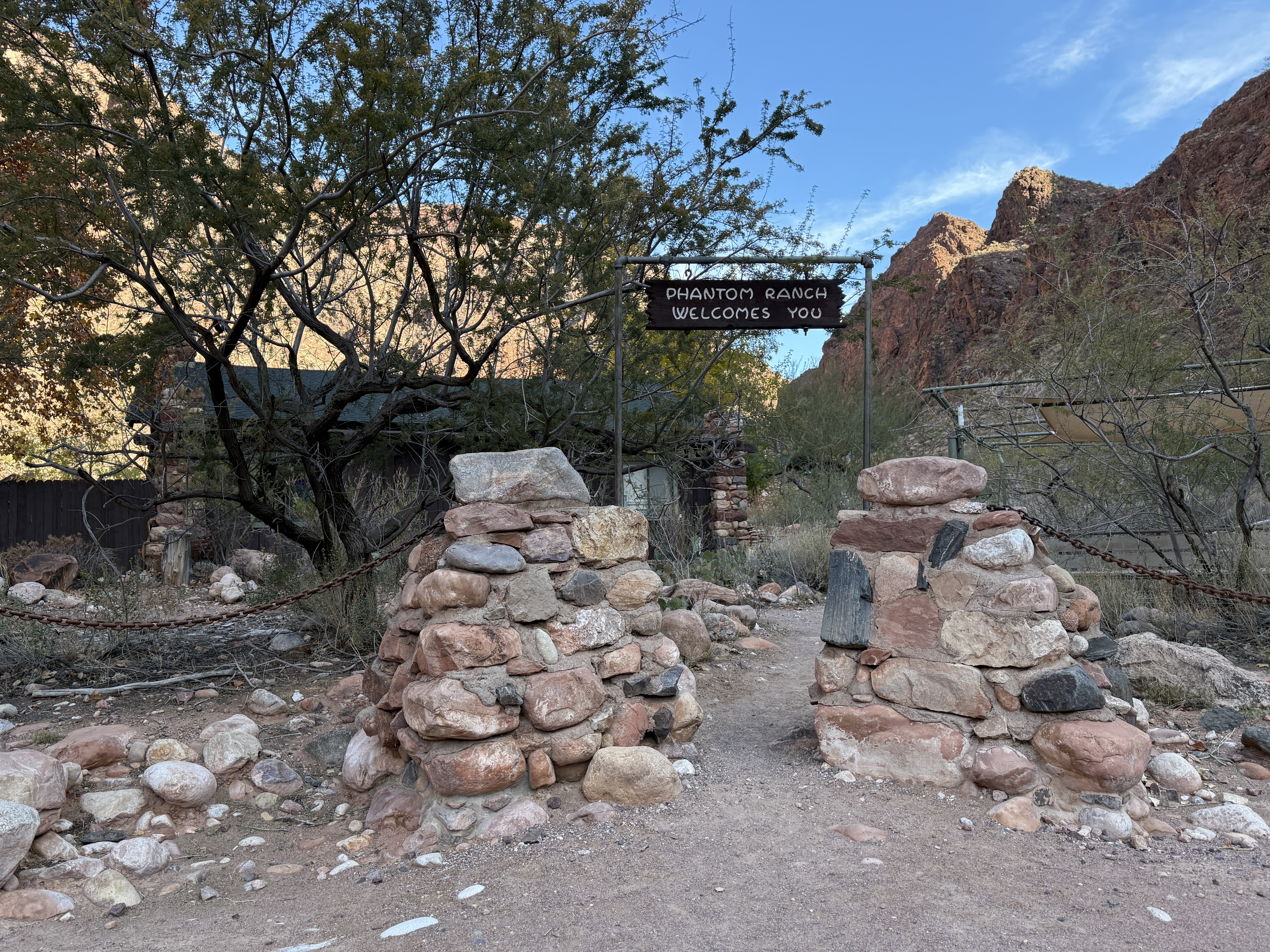
I knocked and an Asian man opened the door, he was sitting on the floor, and a woman behind him. They didn’t speak much English, but I signed asking if they had food and water and were ok. The man nodded and smiled. They didn’t seem in distress, so I kept moving. My best guess is they had reservations at Phantom Ranch but hadn’t gotten the notification of the closure due to a waterline break. I would wager they hiked all the way down to the Ranch and then couldn’t make it back up to the South Rim, either from fatigue or discomfort with the dark.

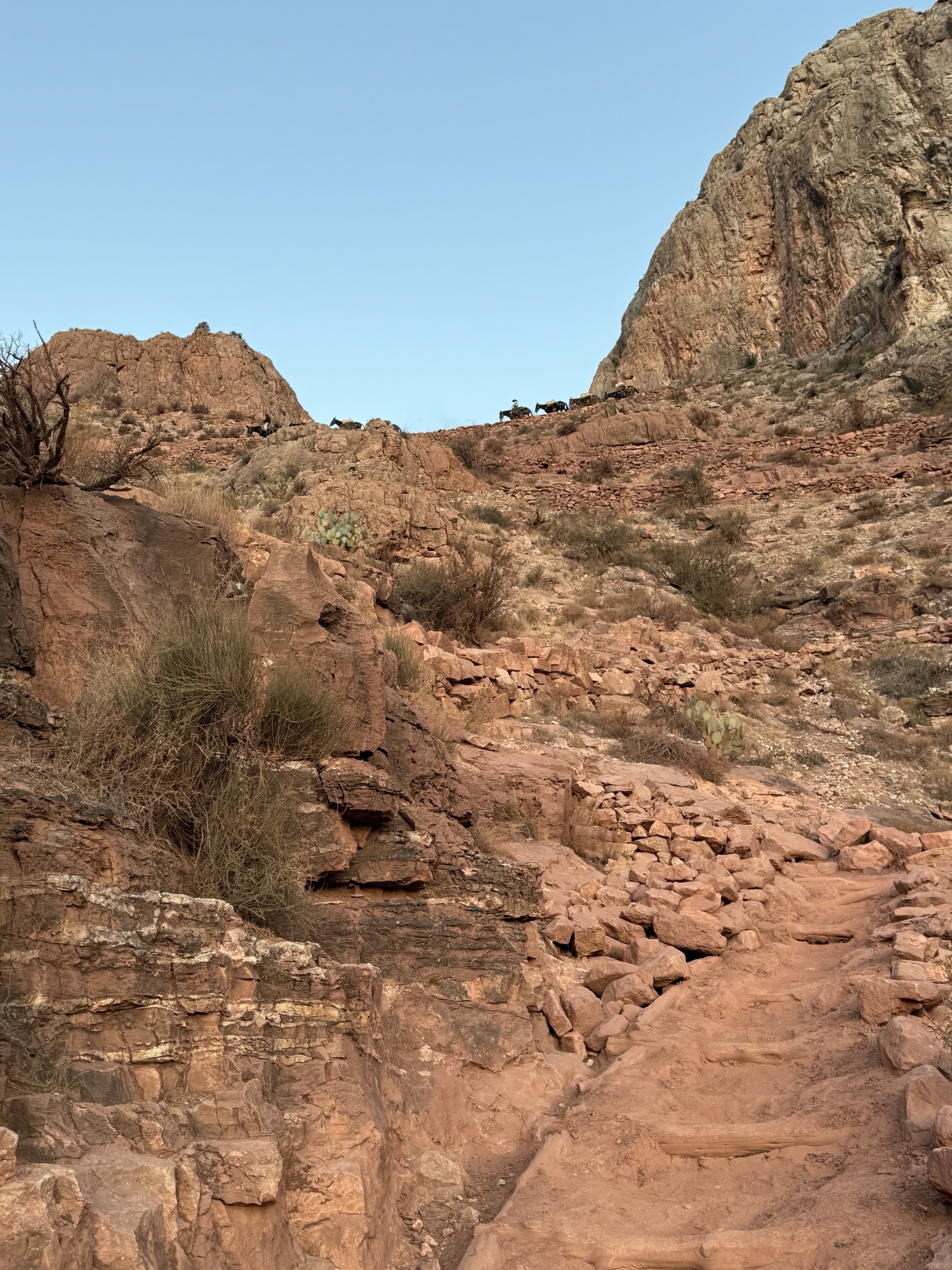
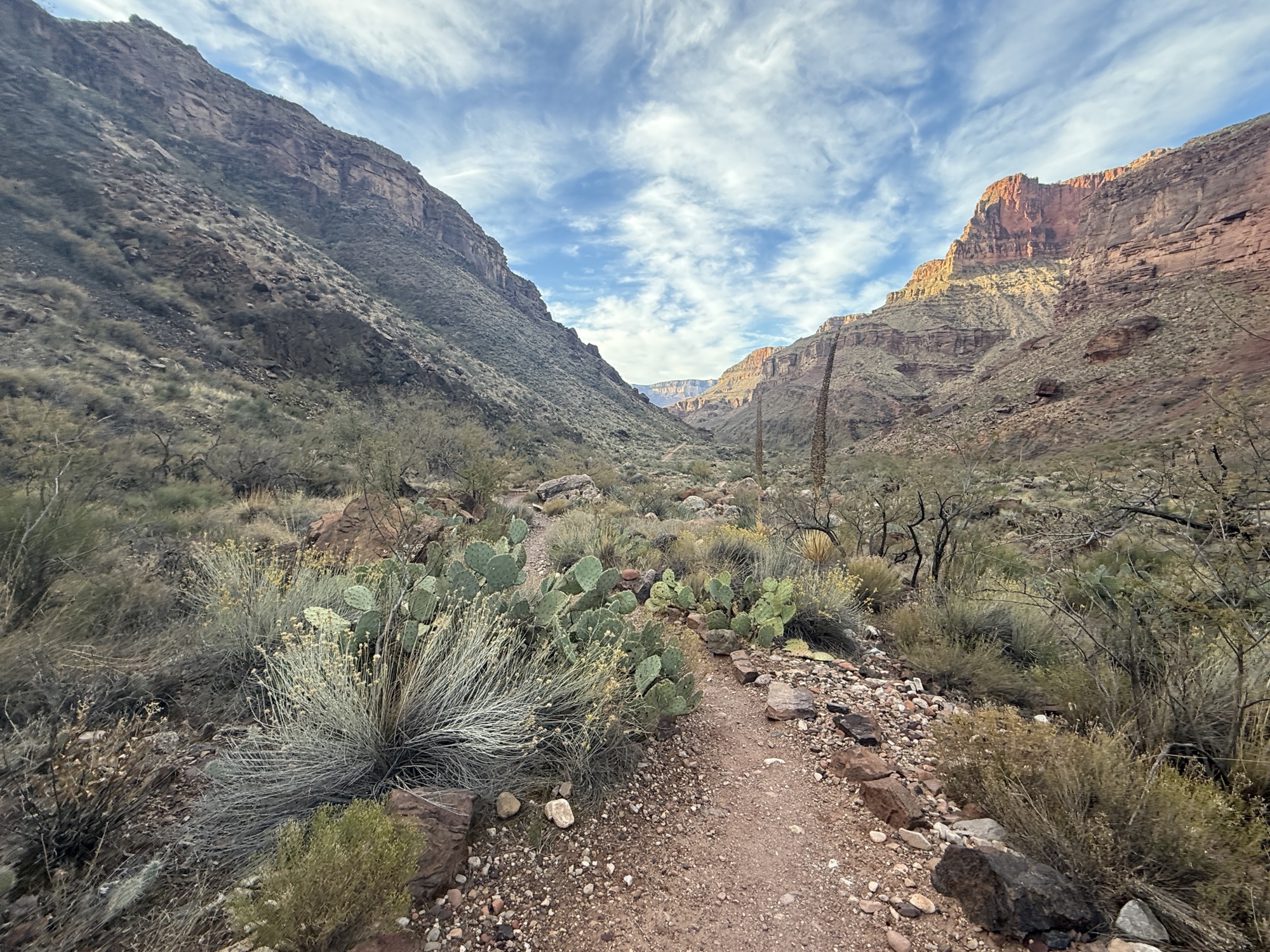
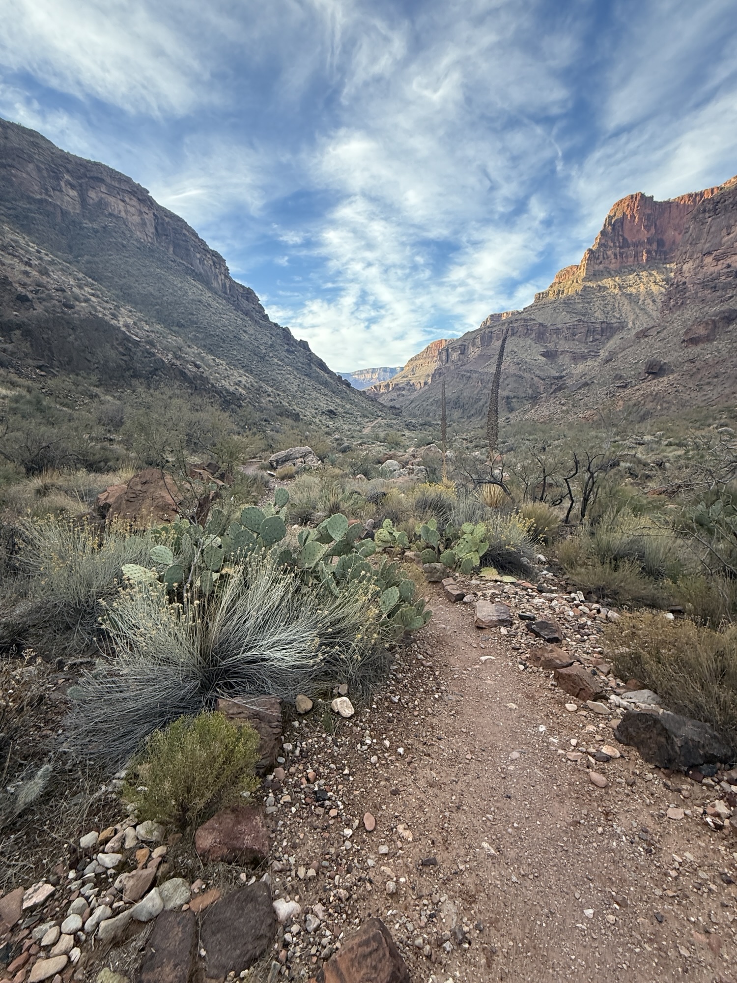
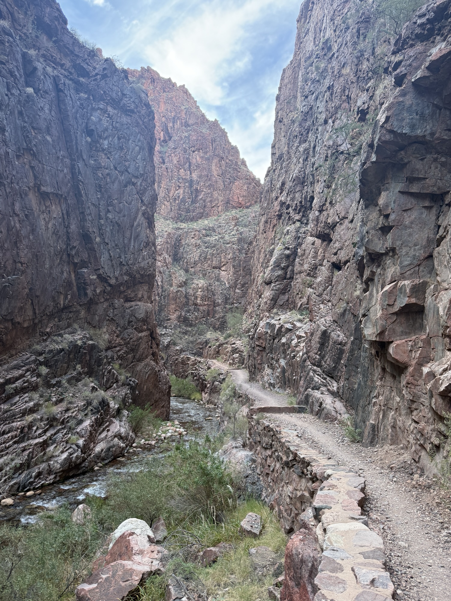
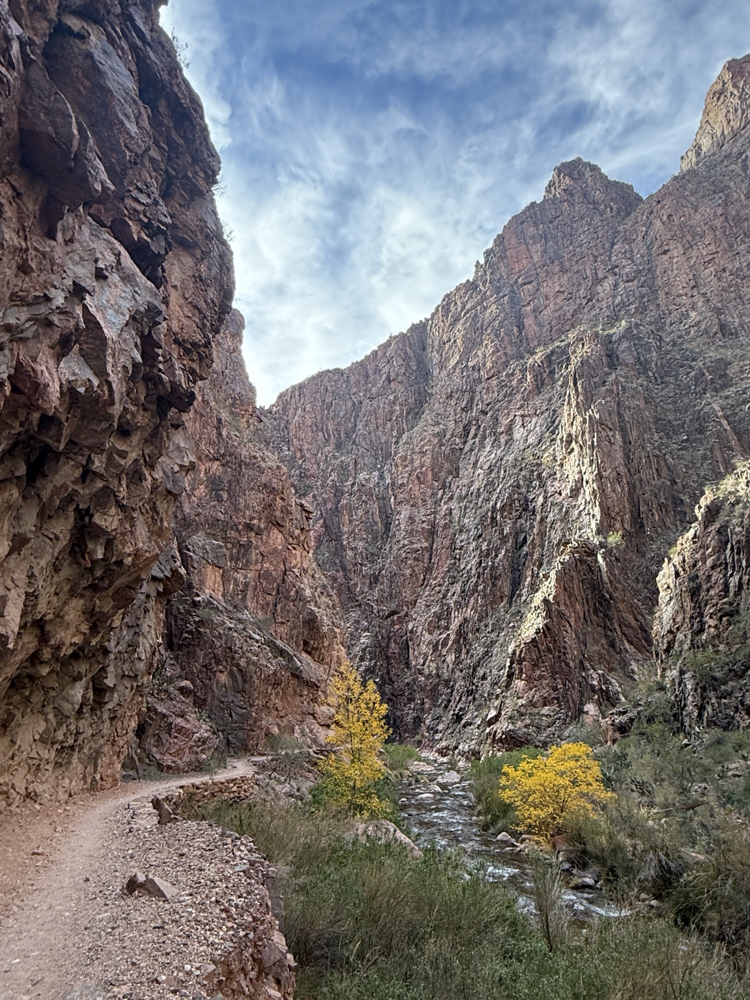
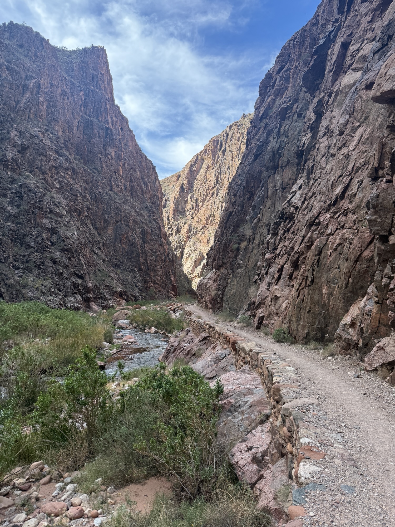
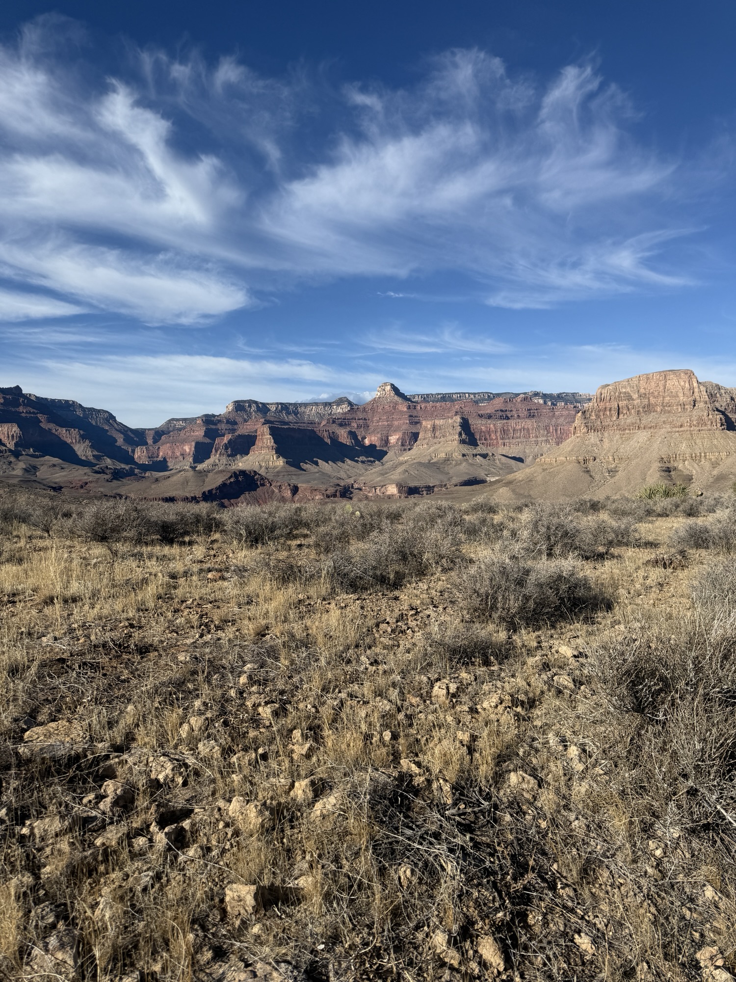
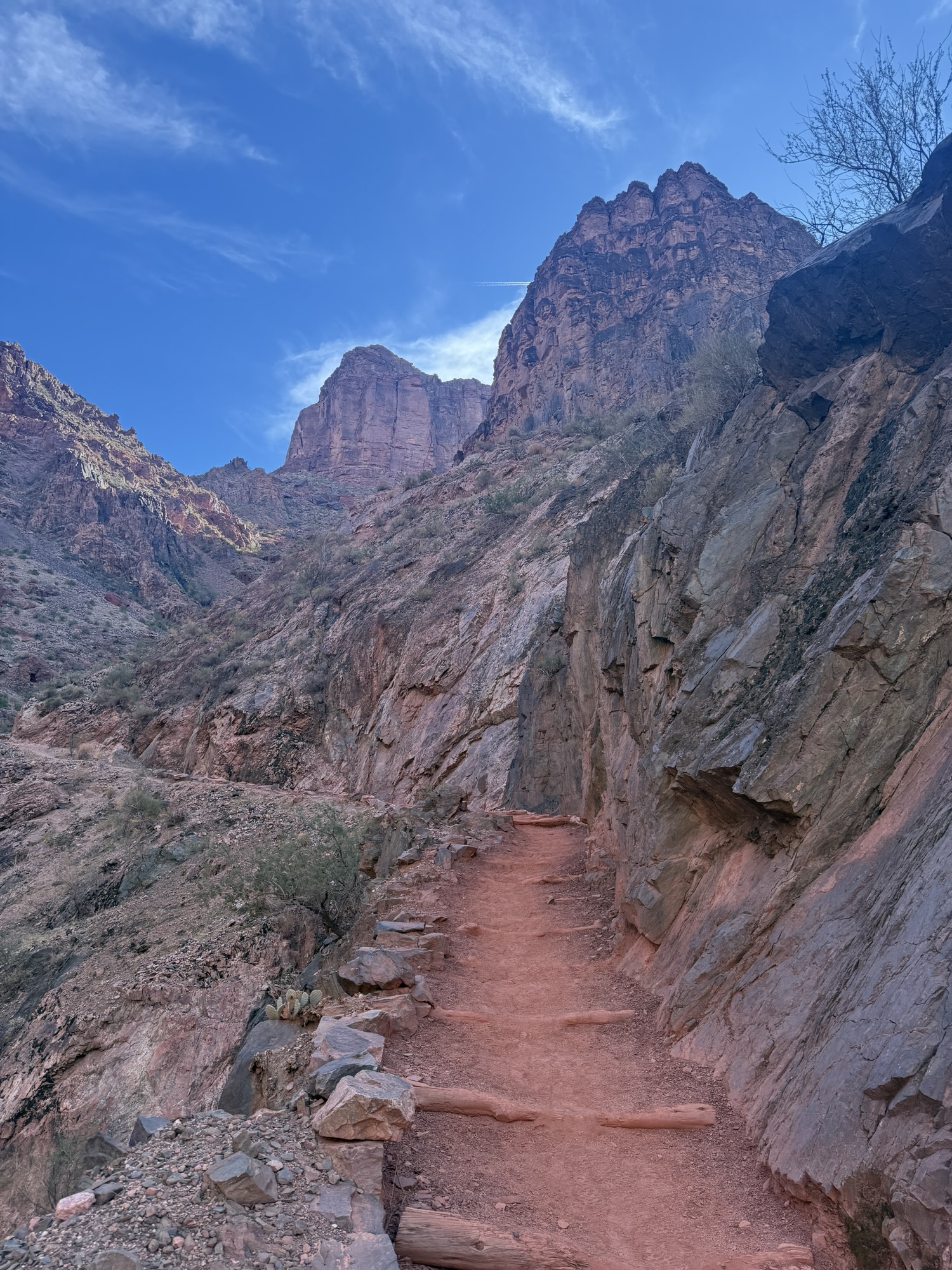
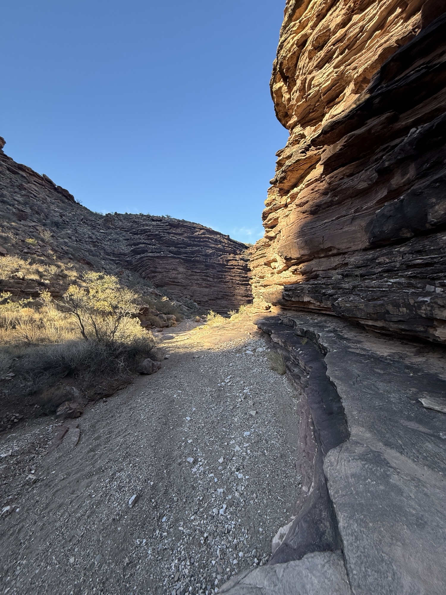
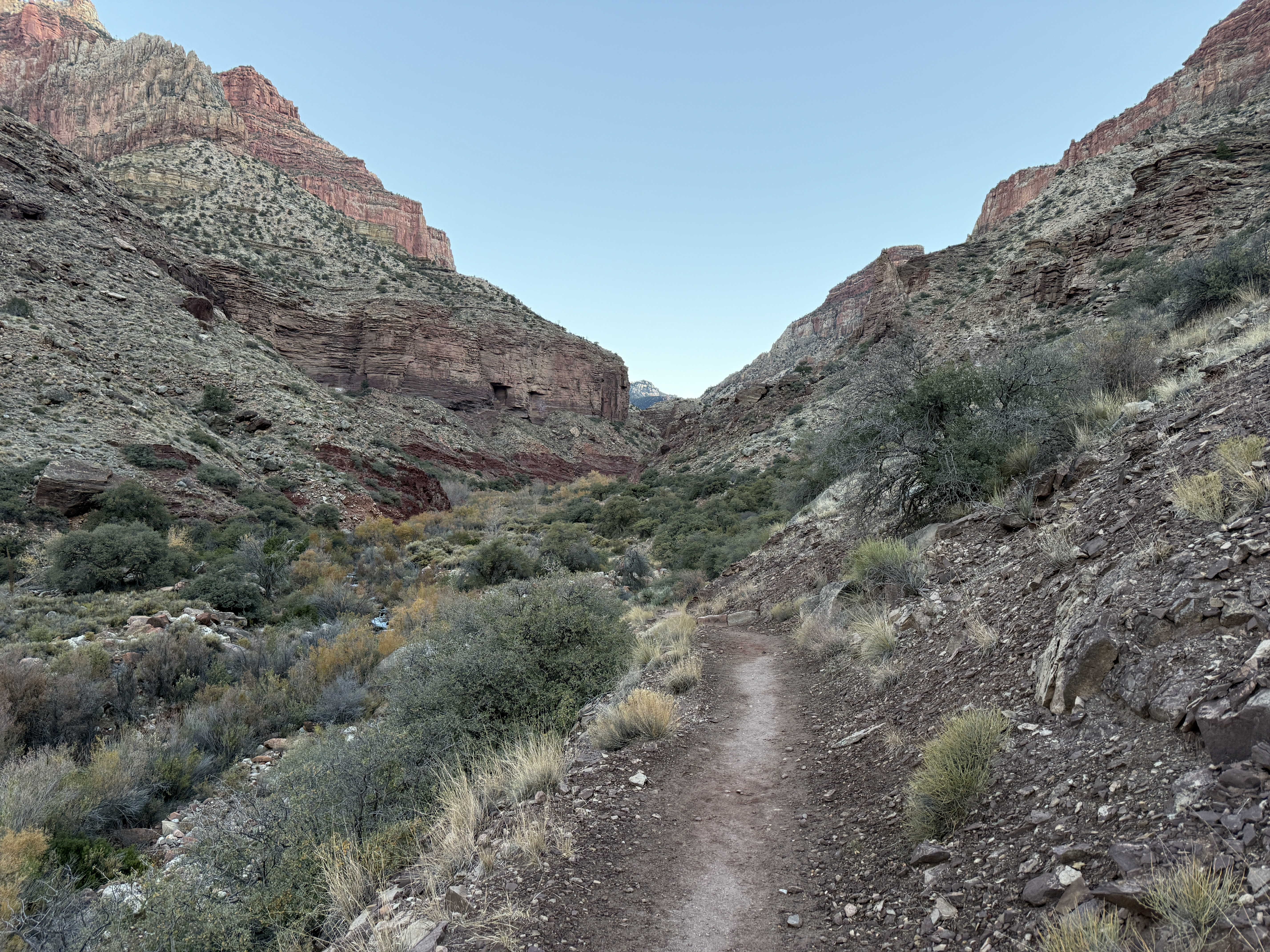
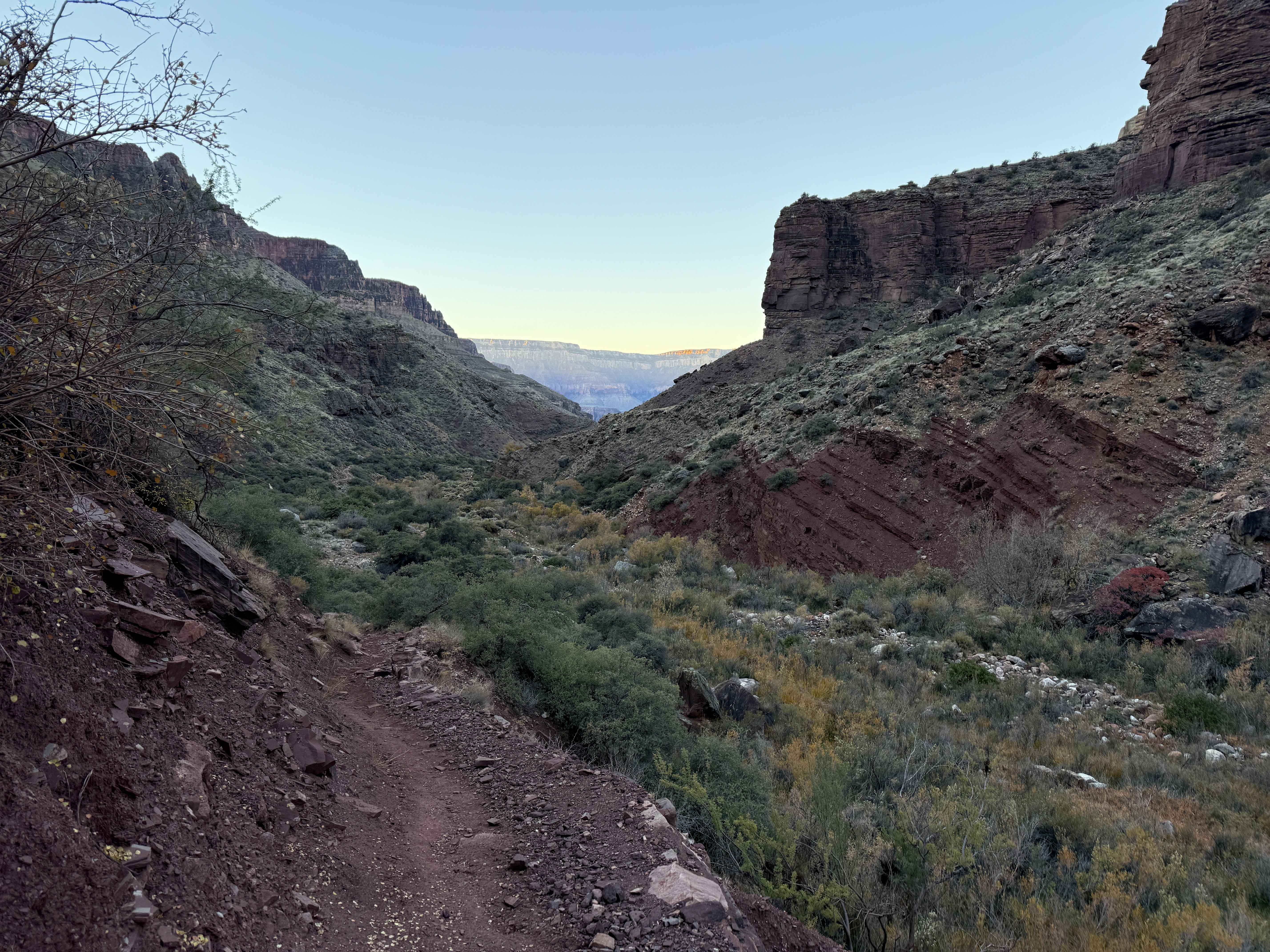
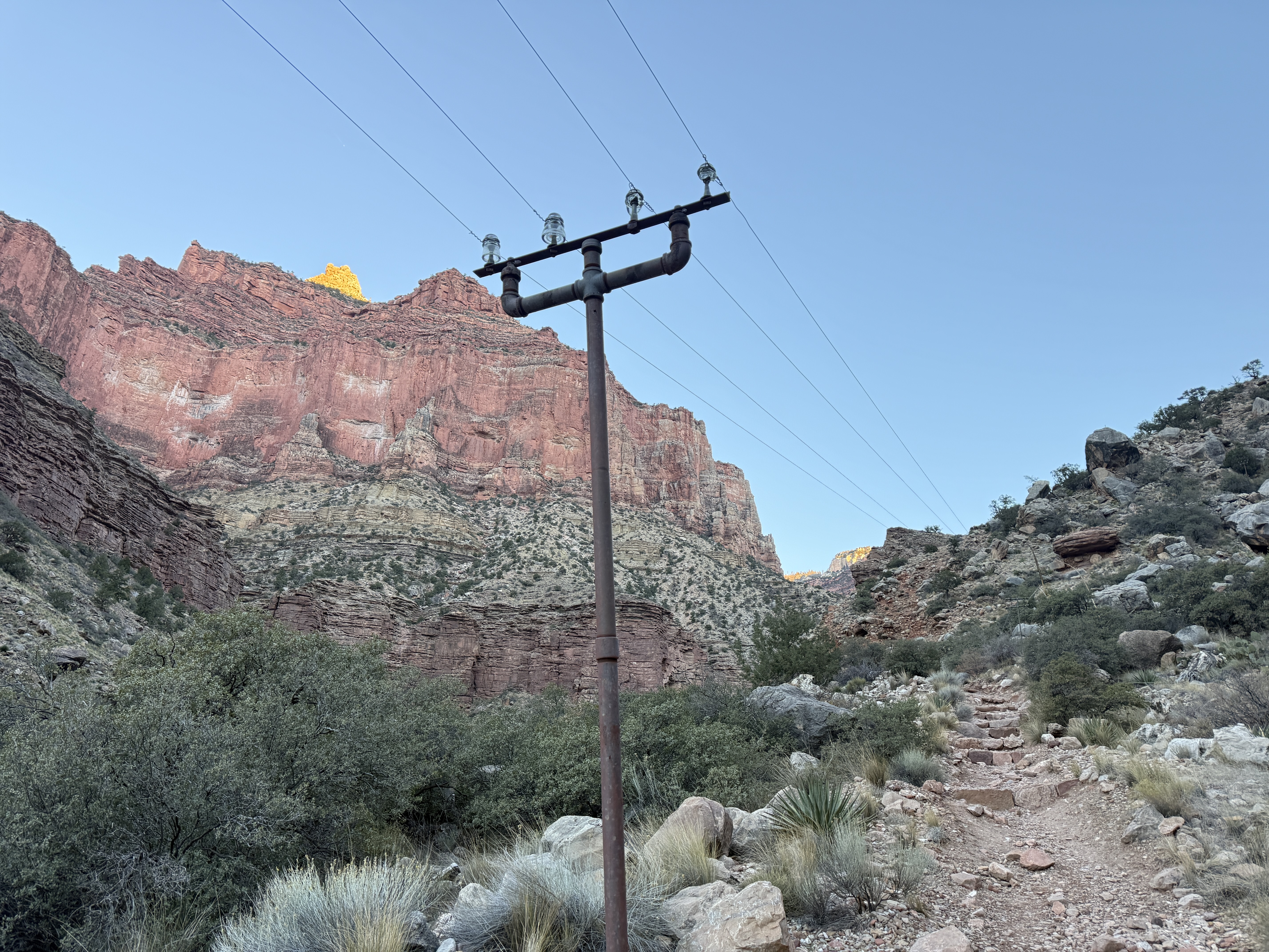
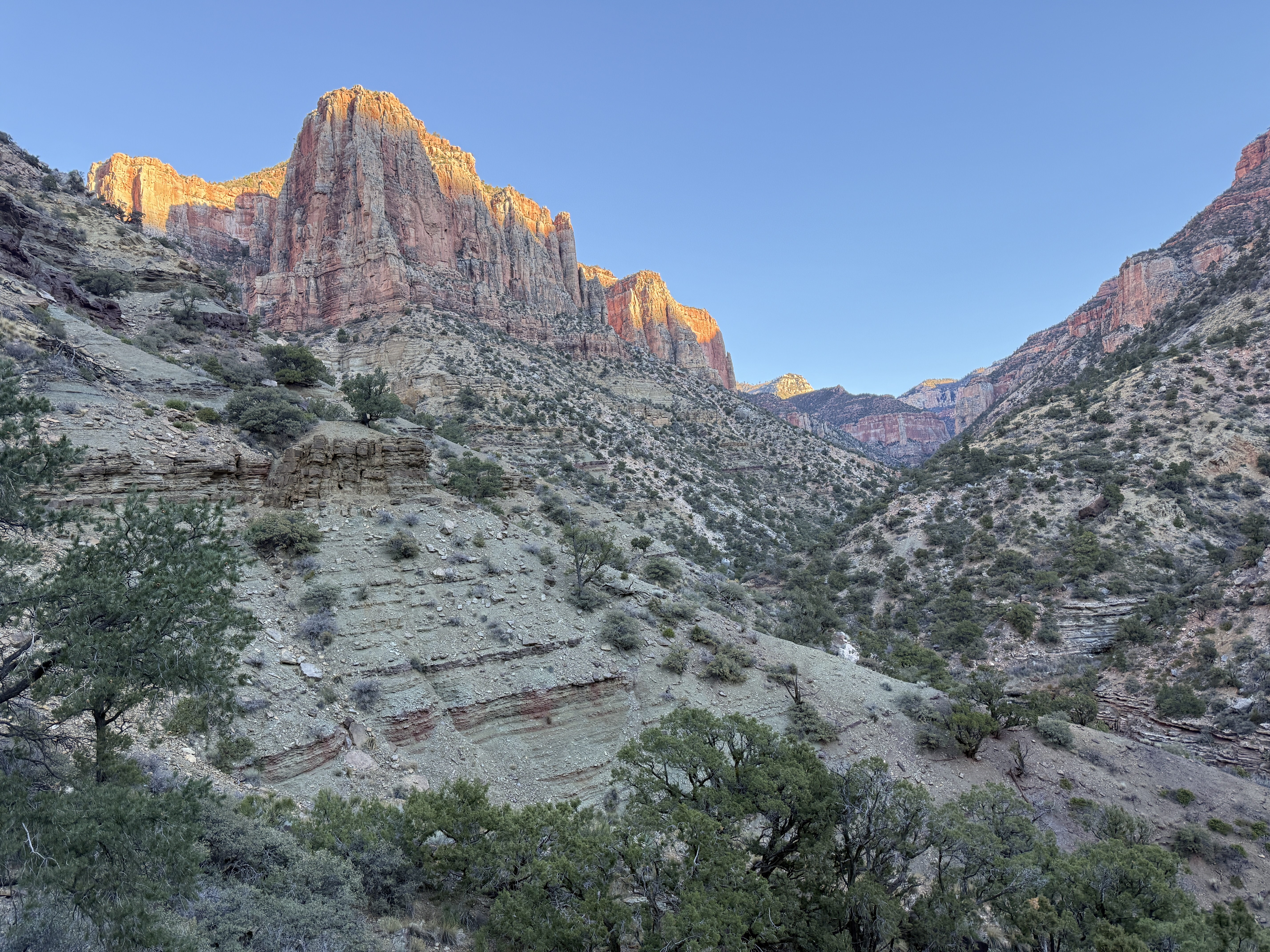
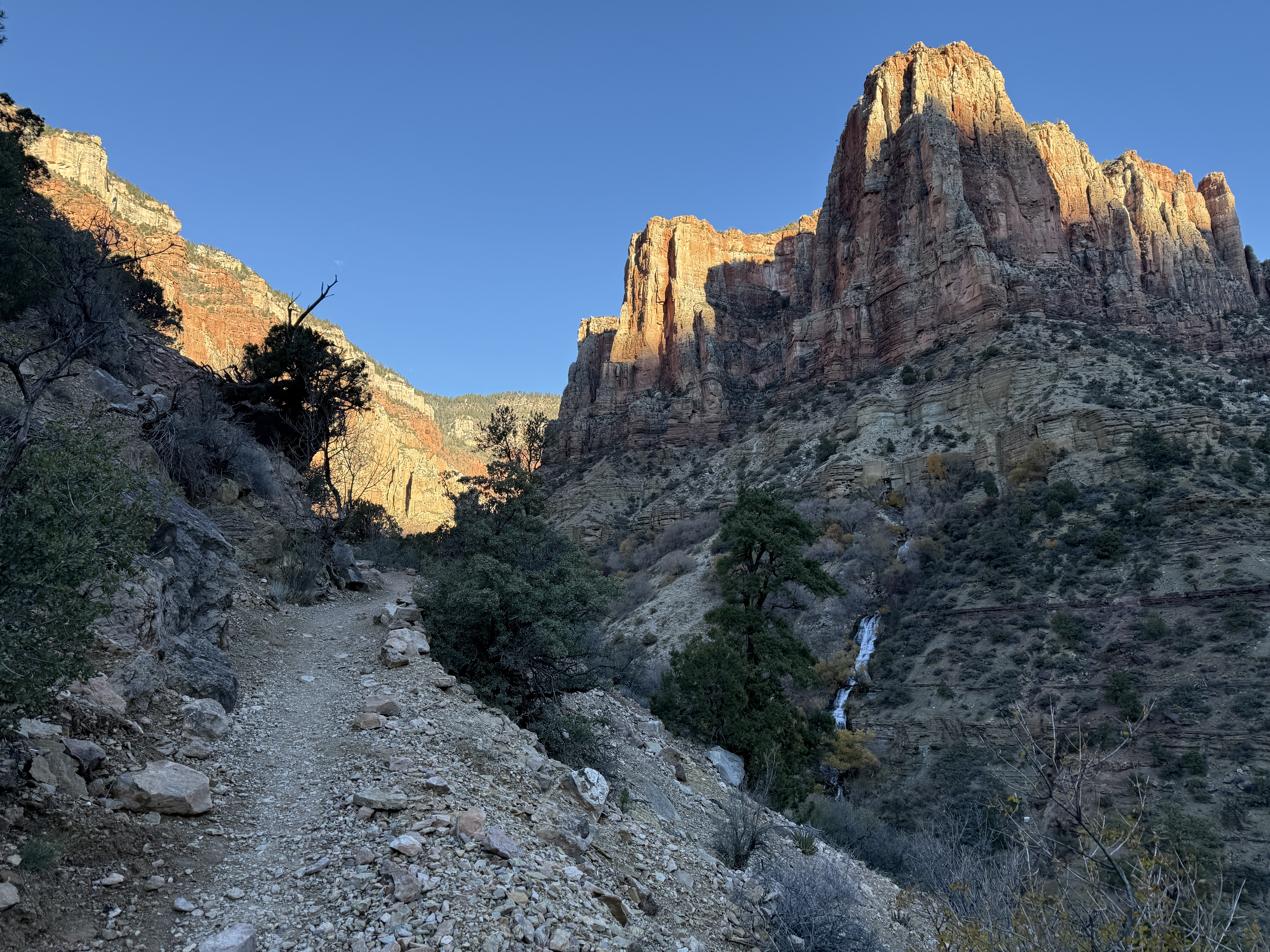
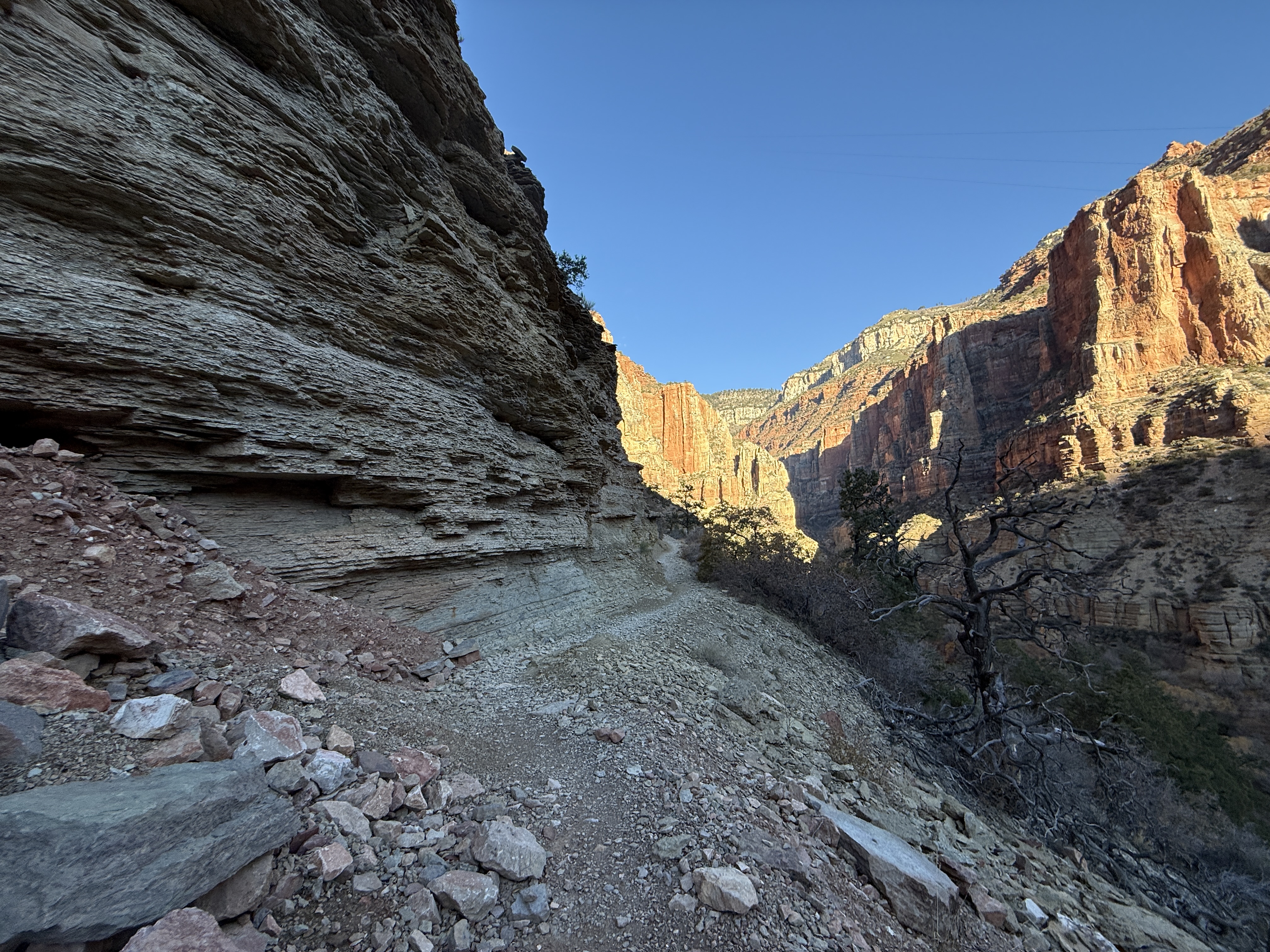
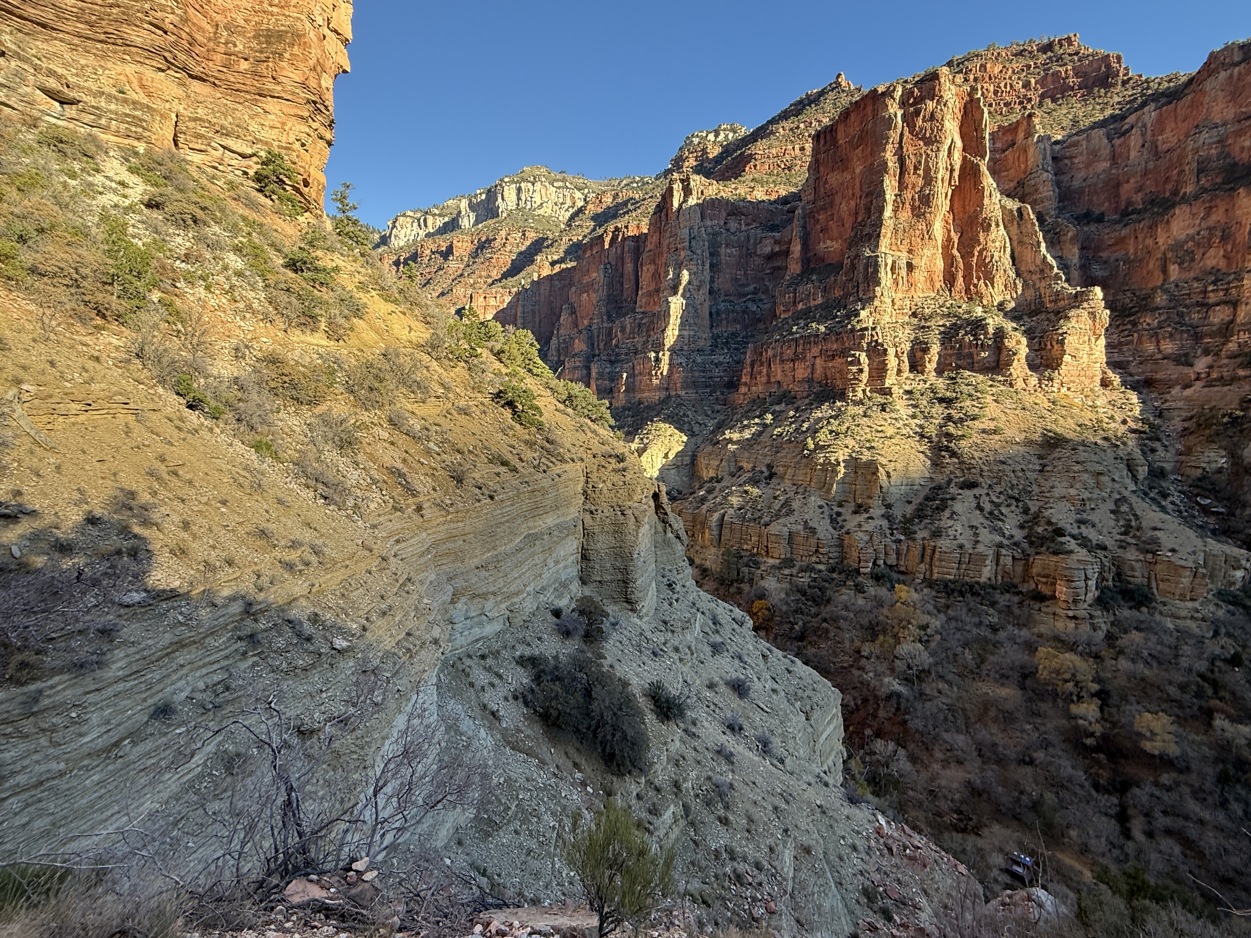
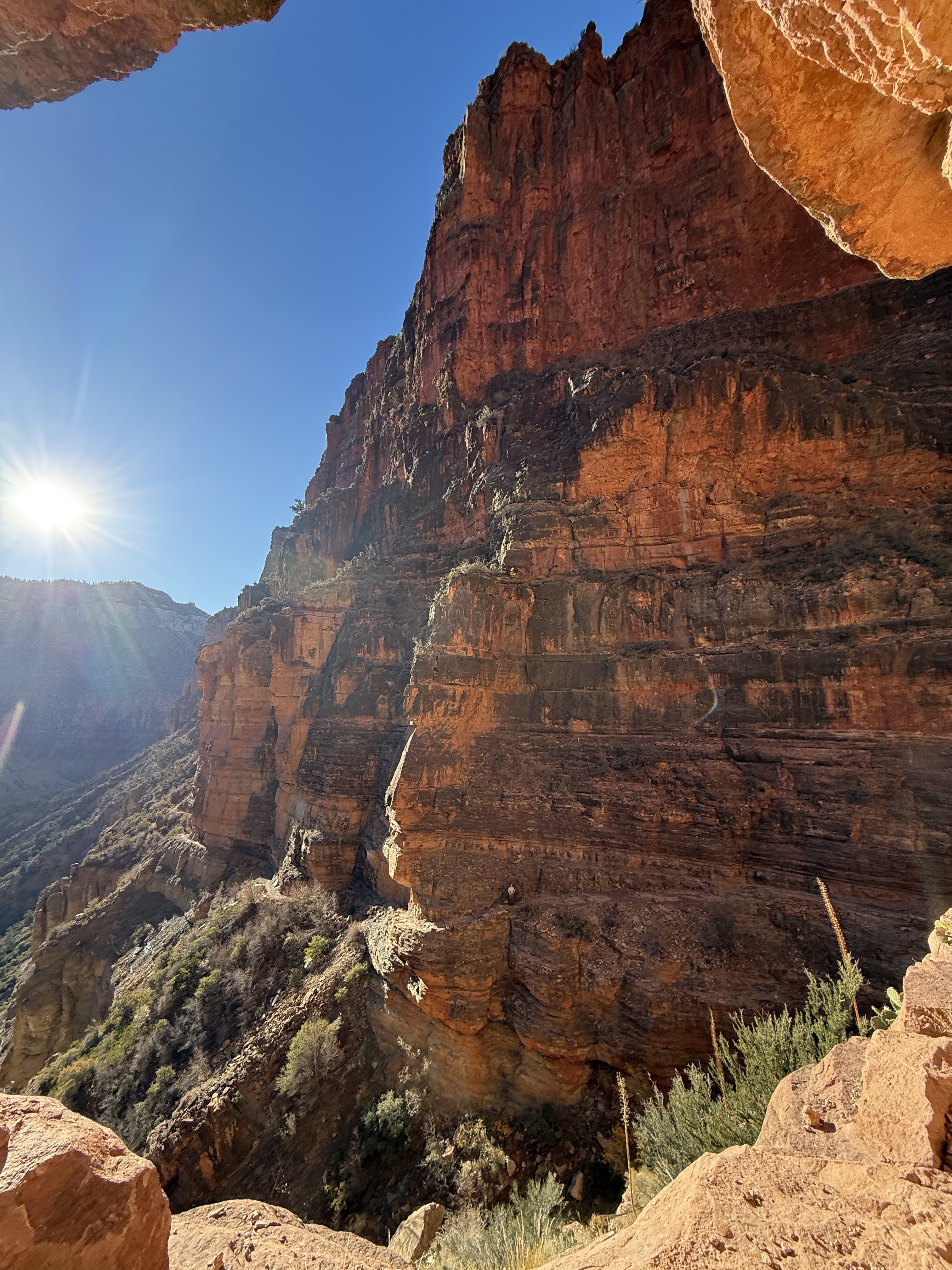
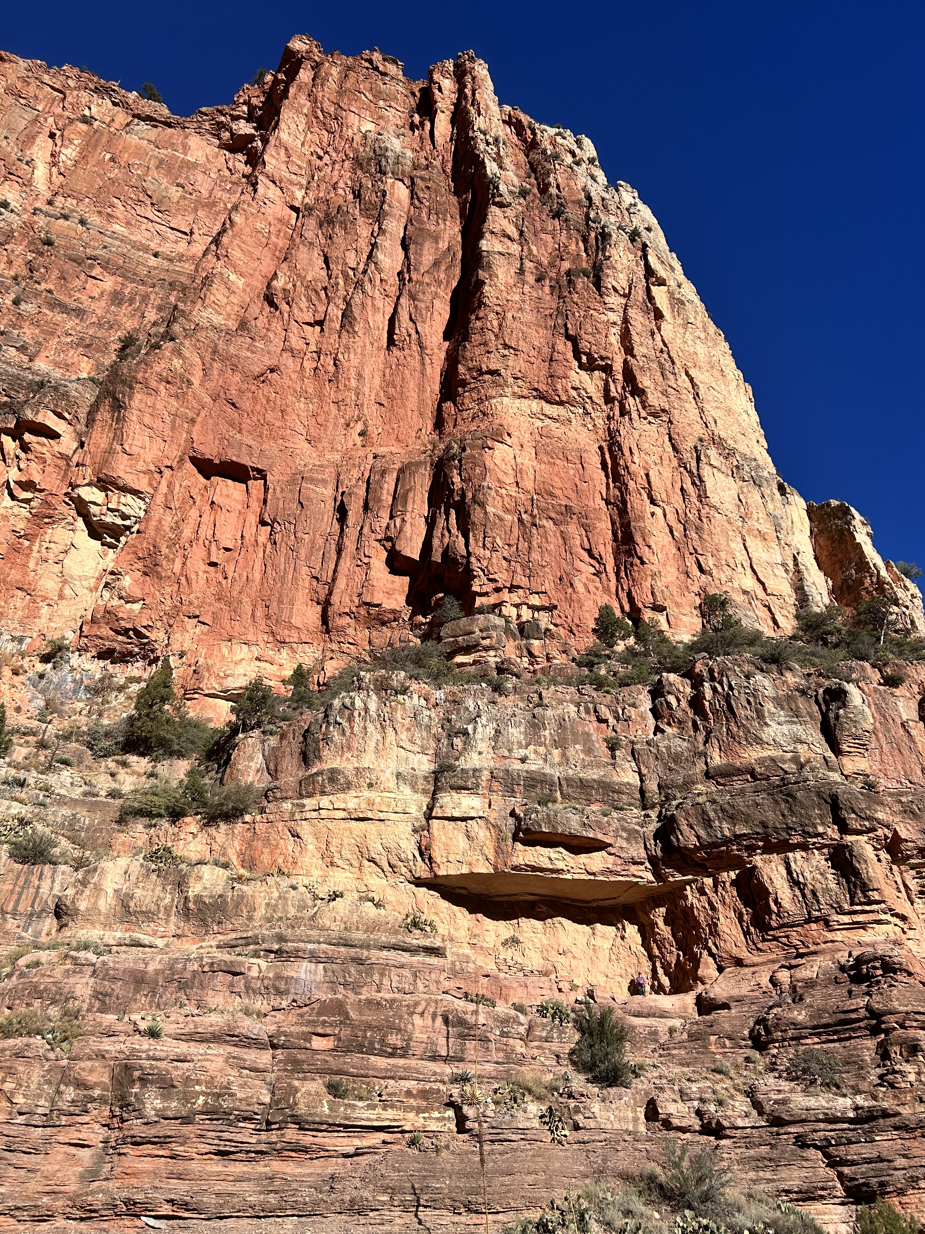
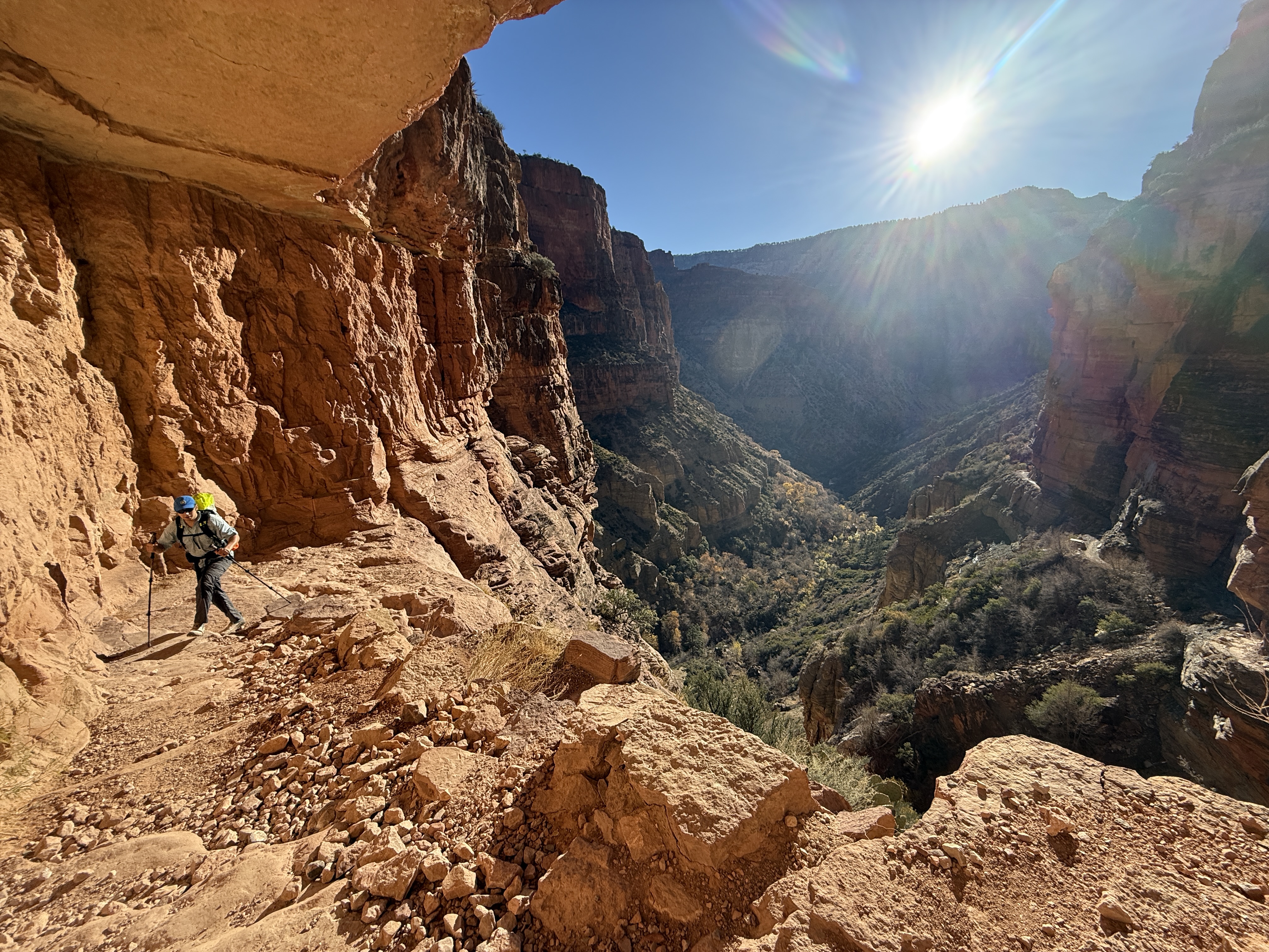
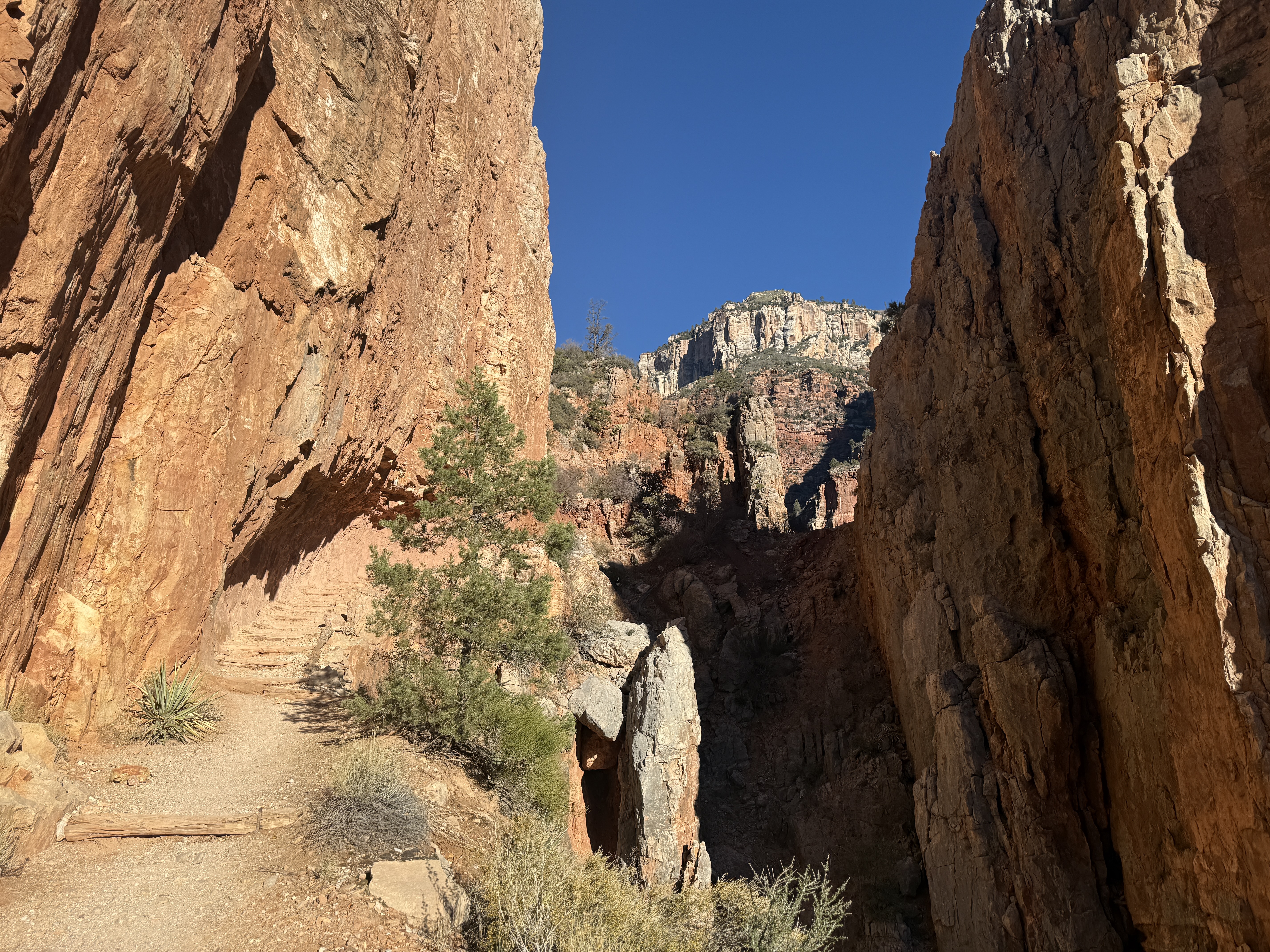
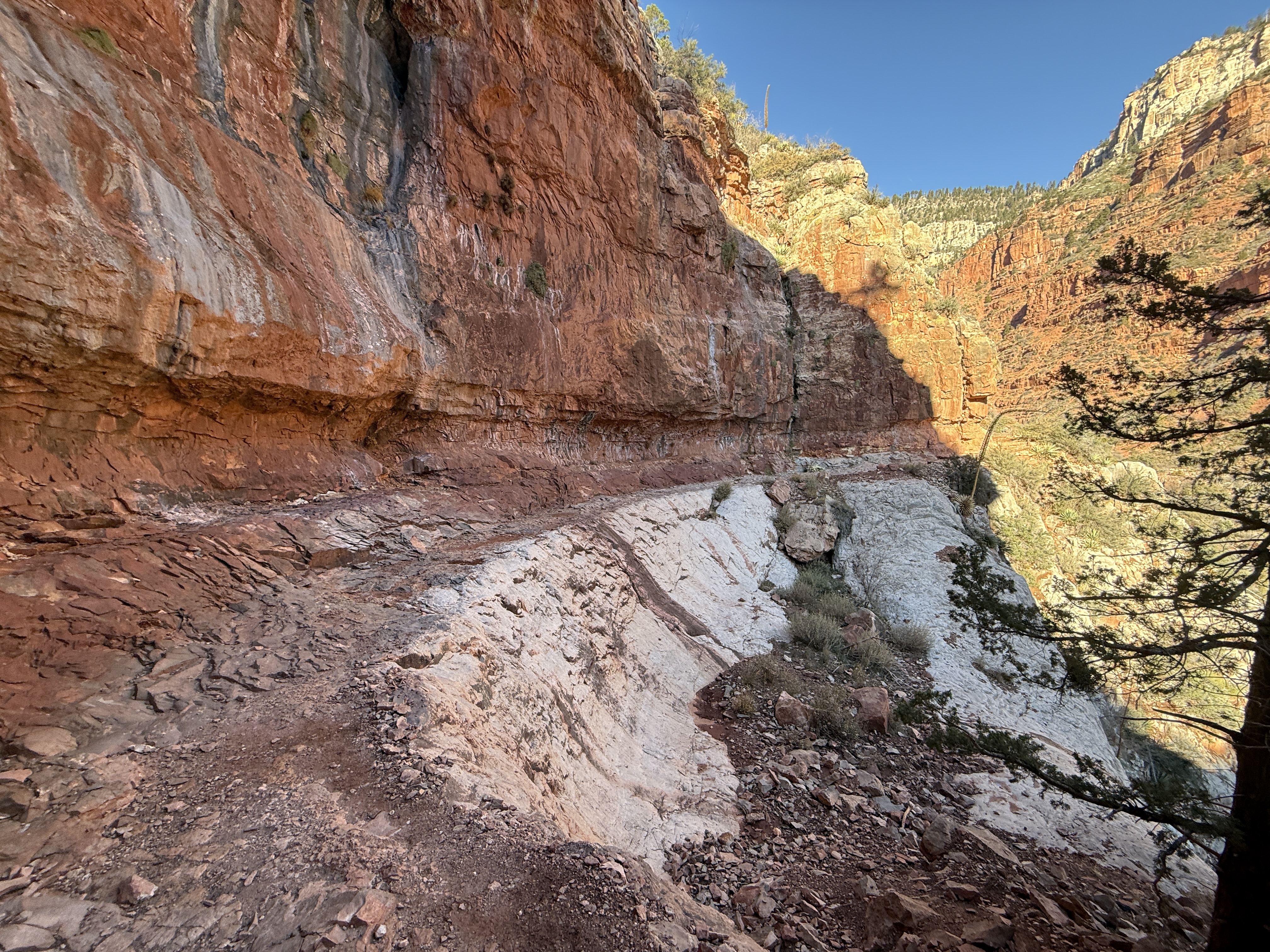
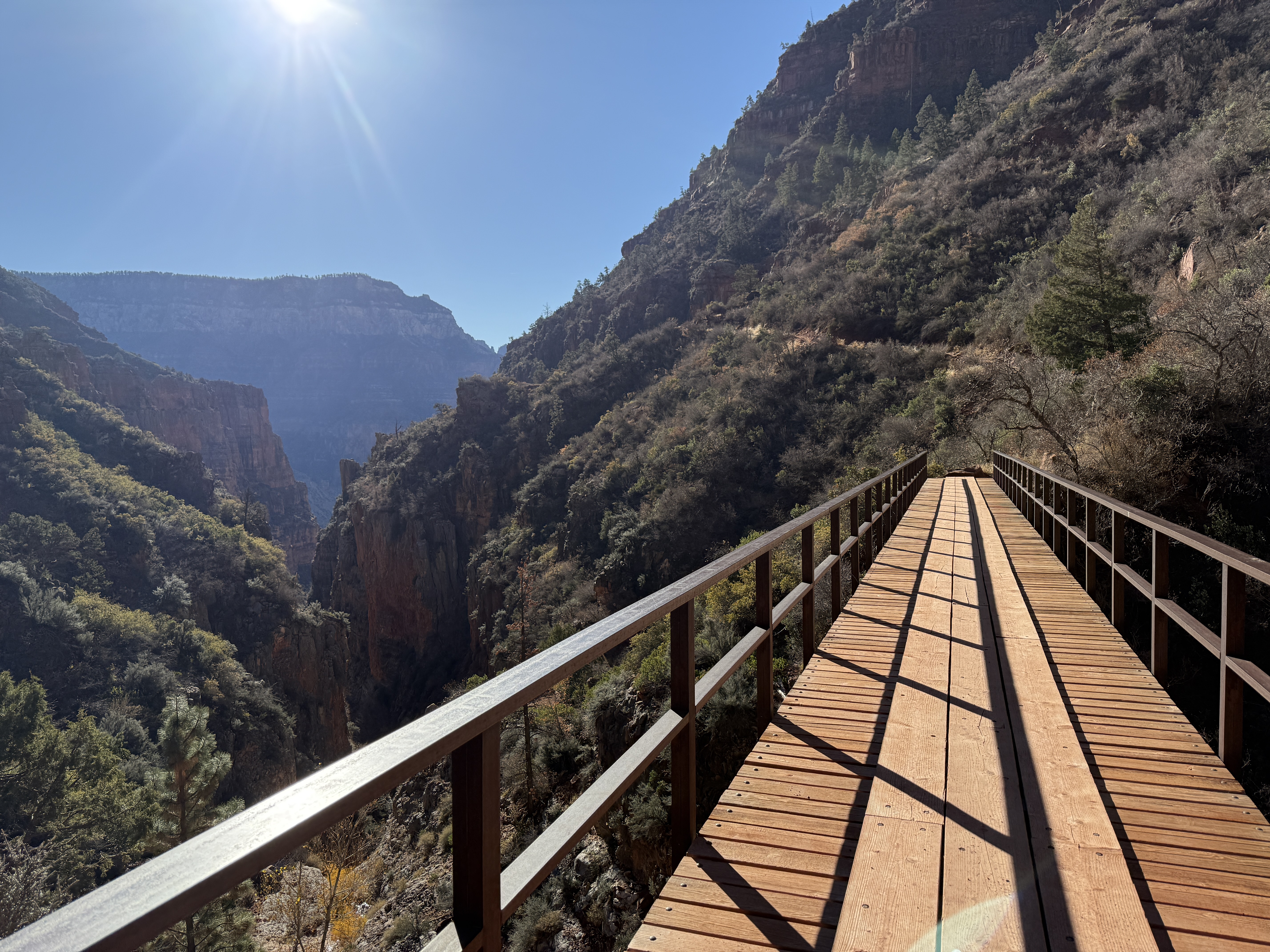
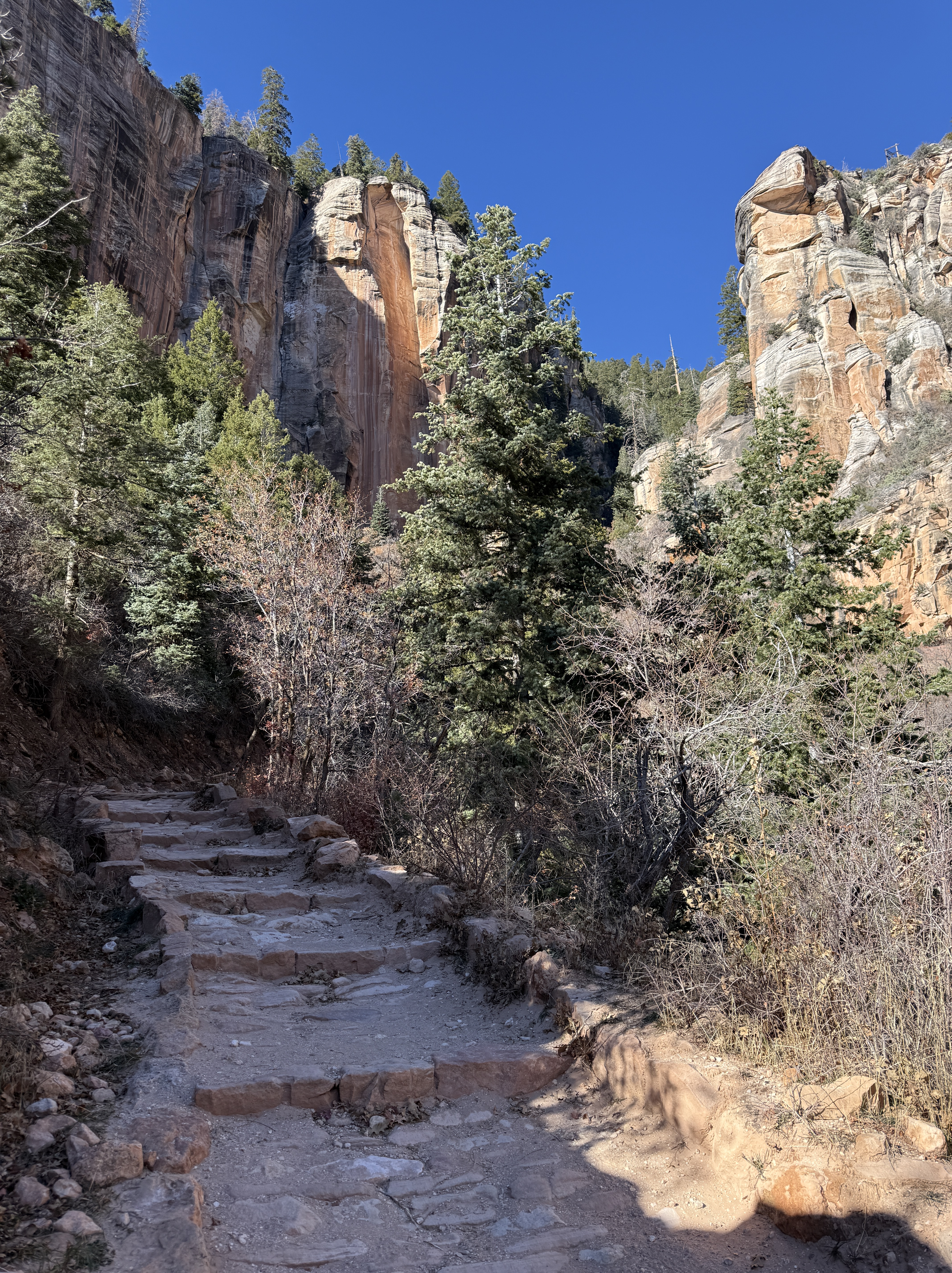
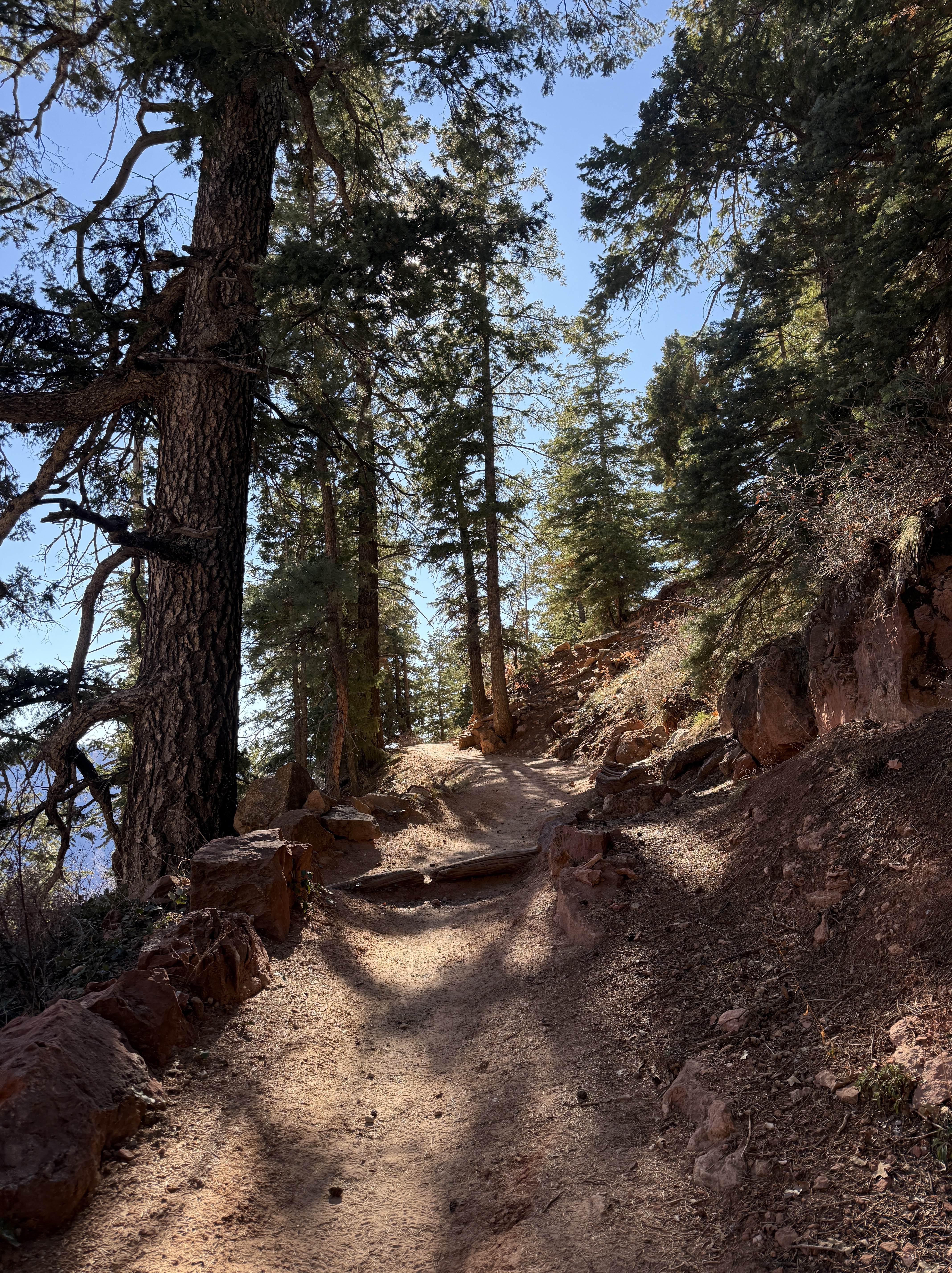
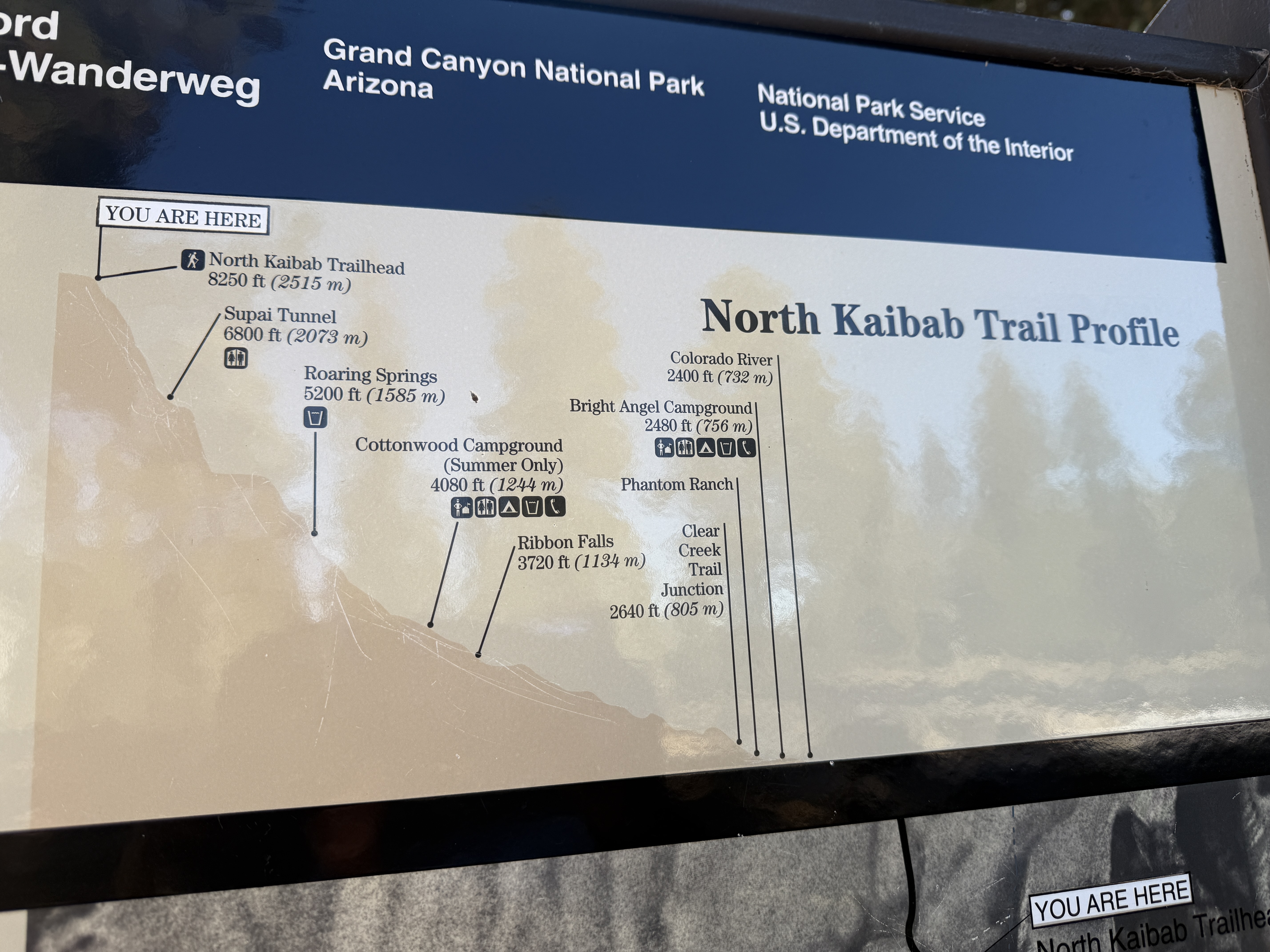
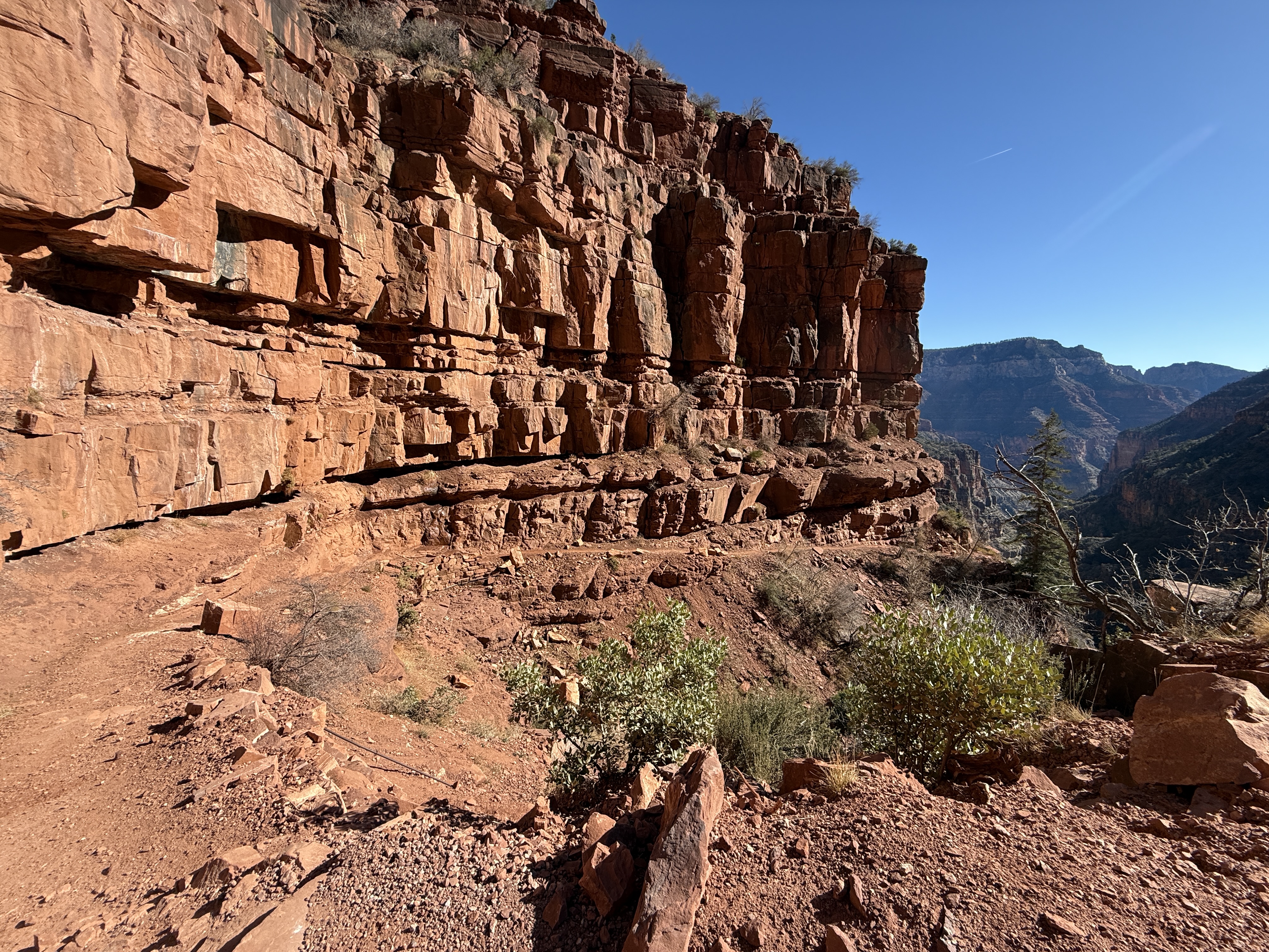
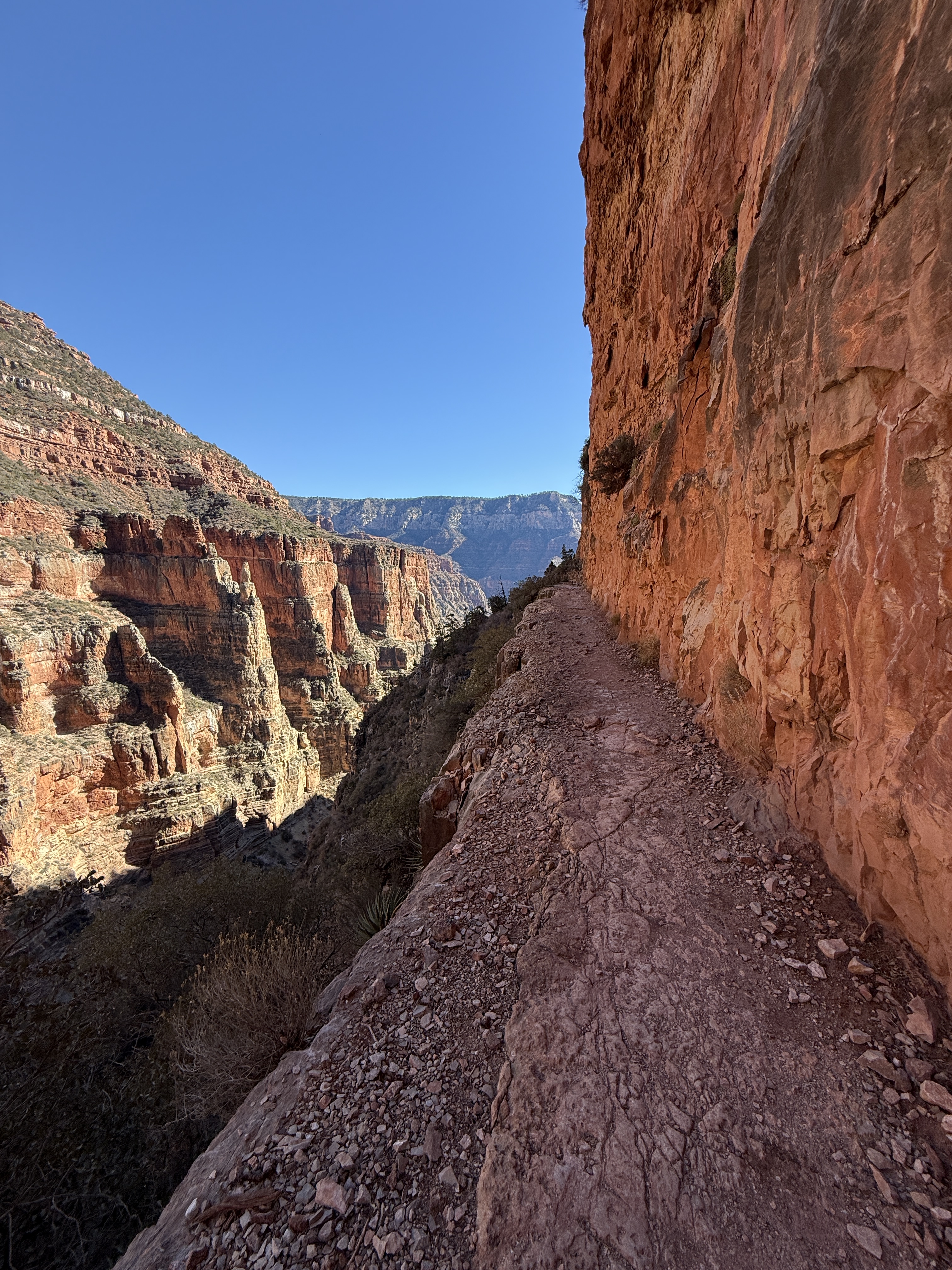
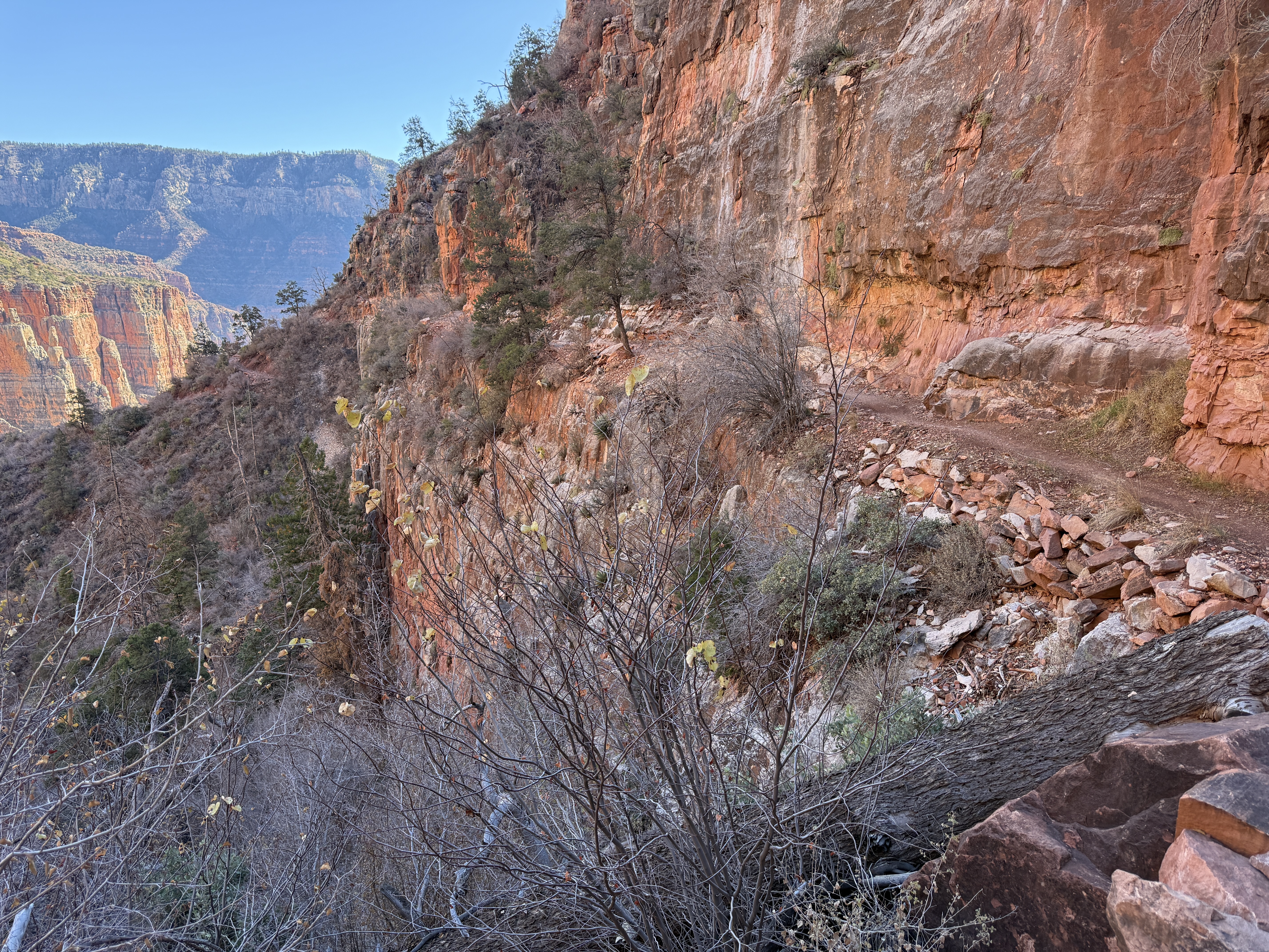
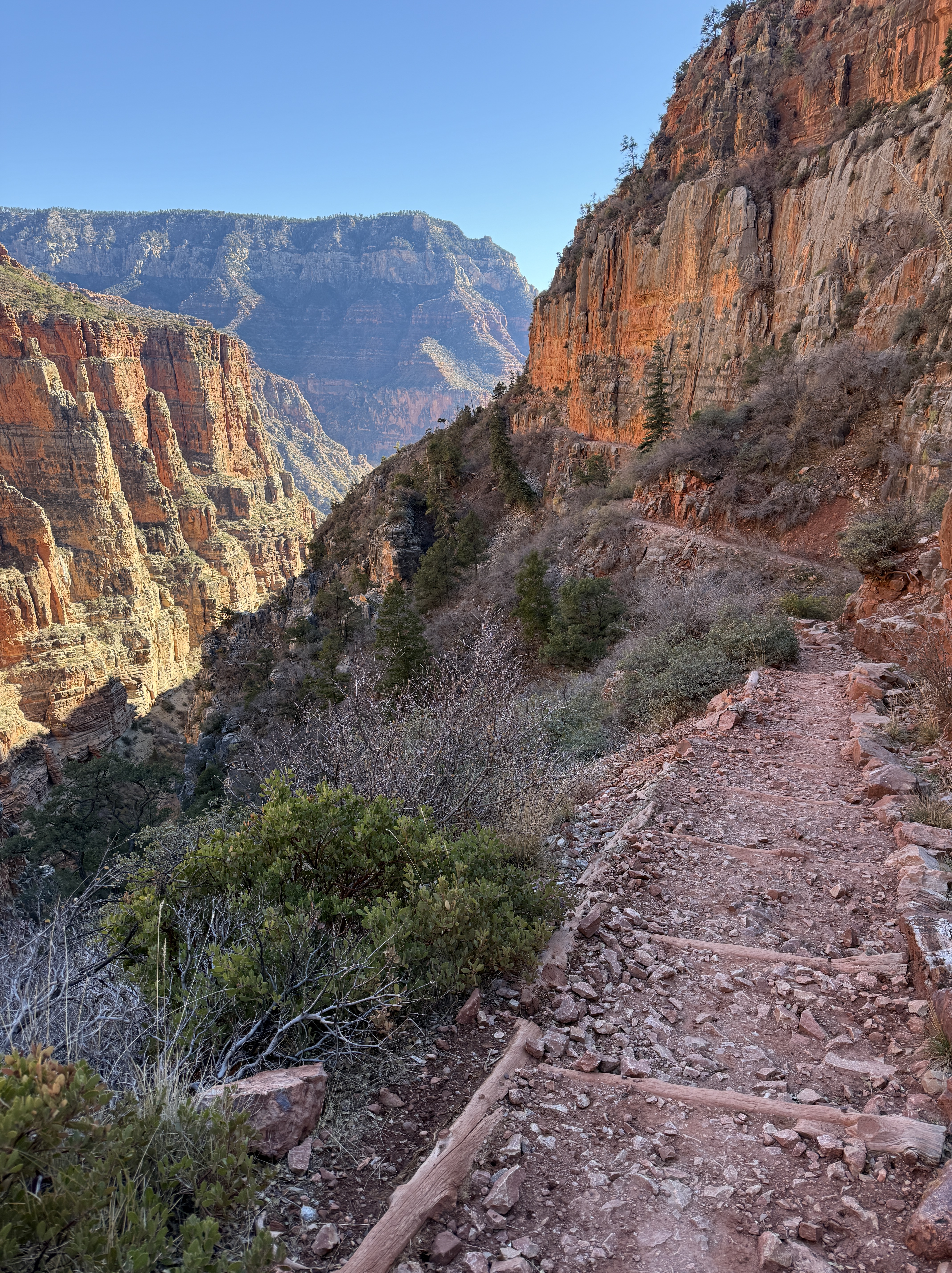
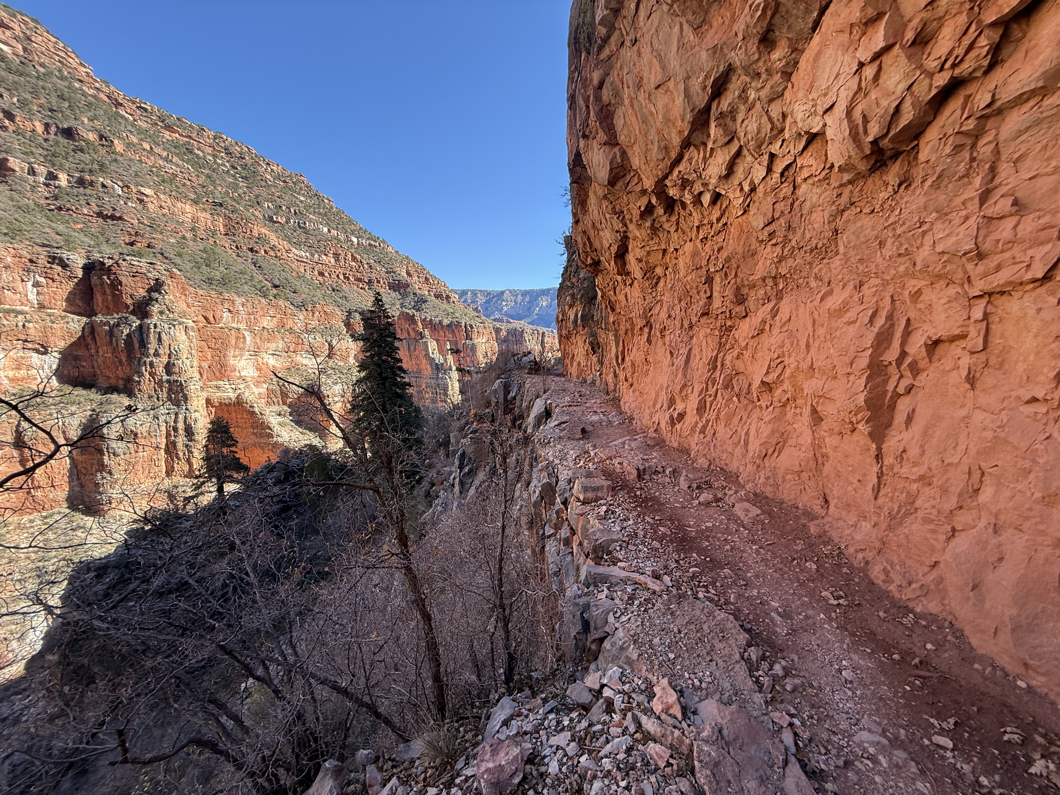
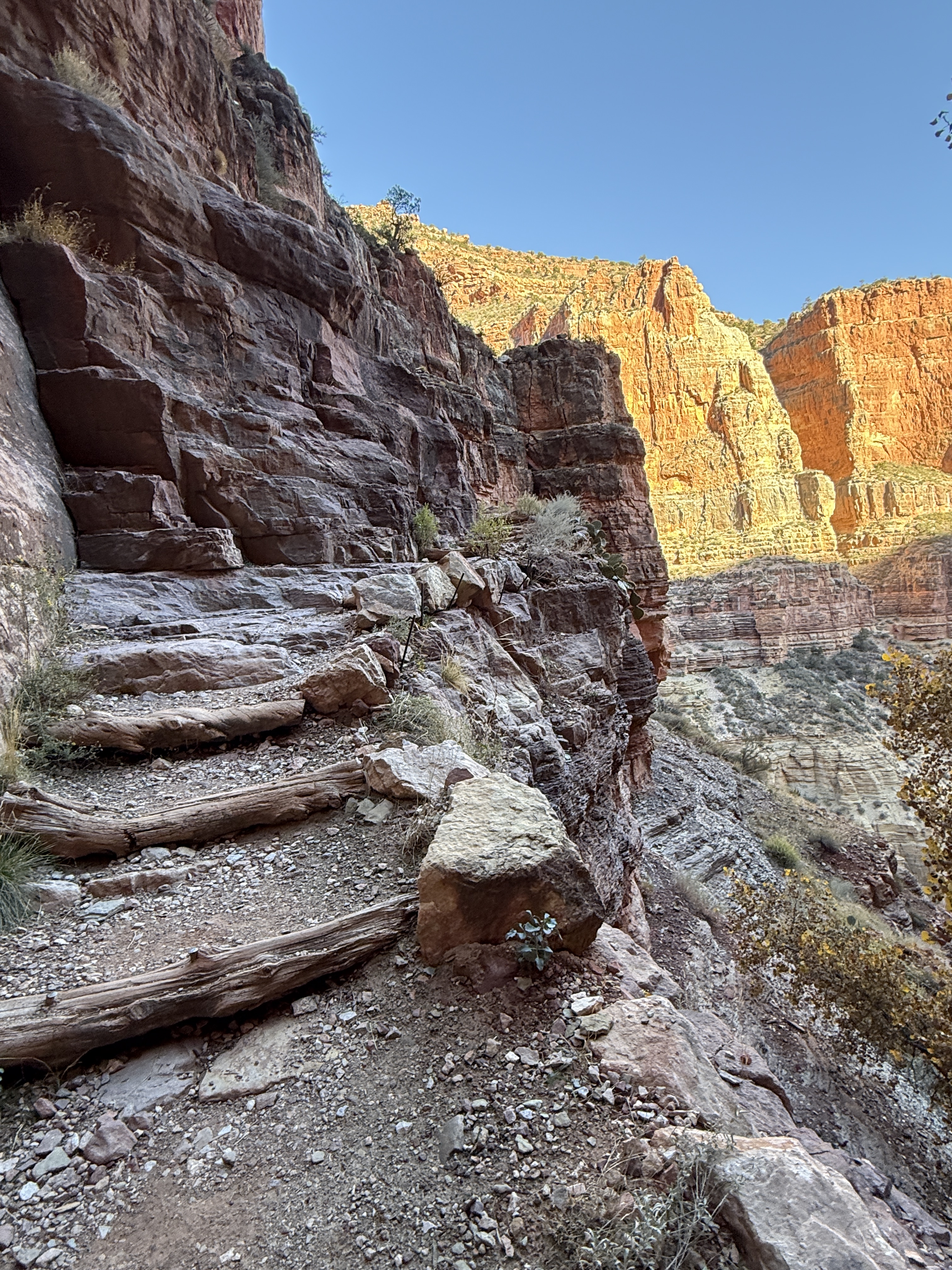
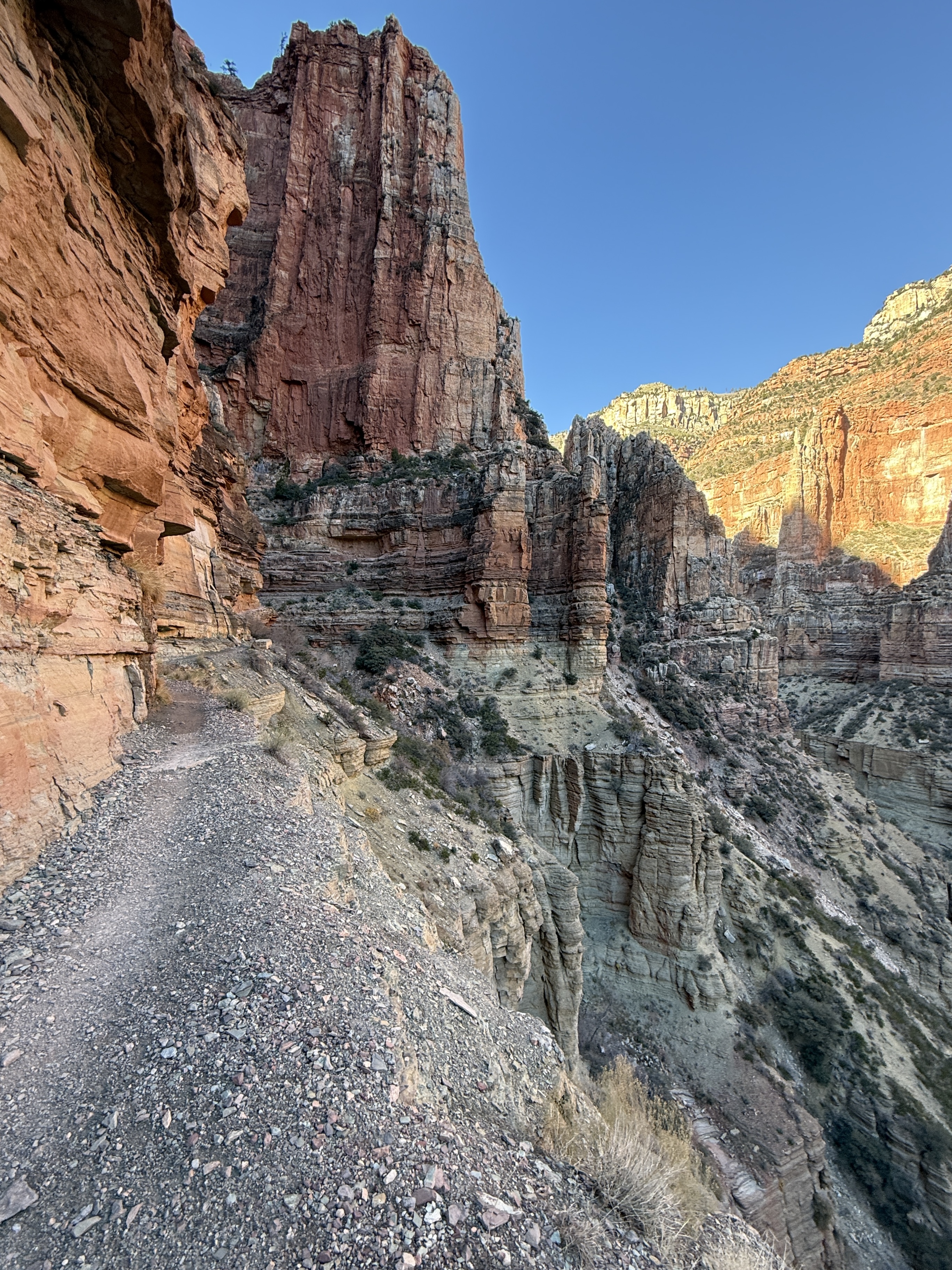
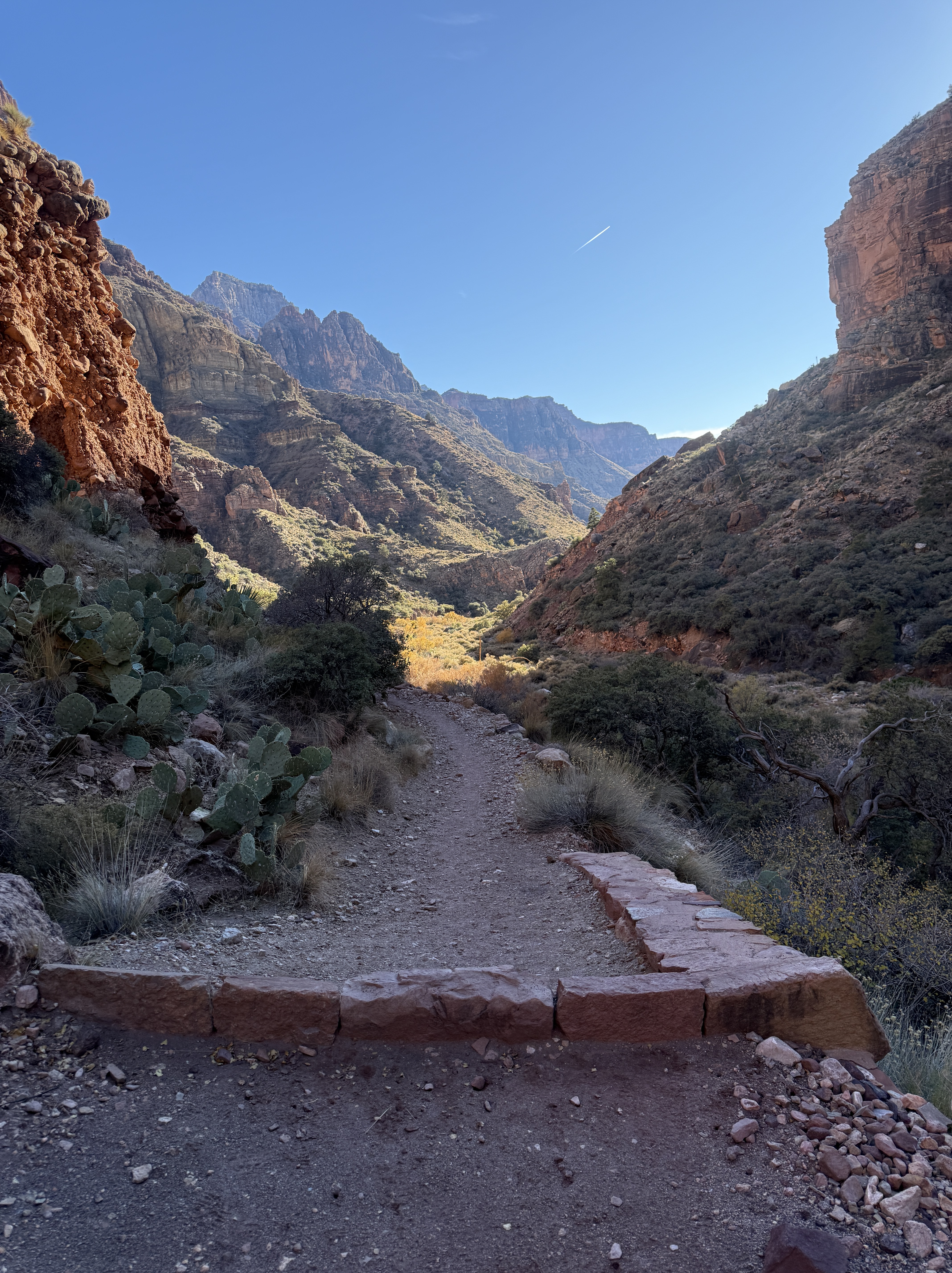
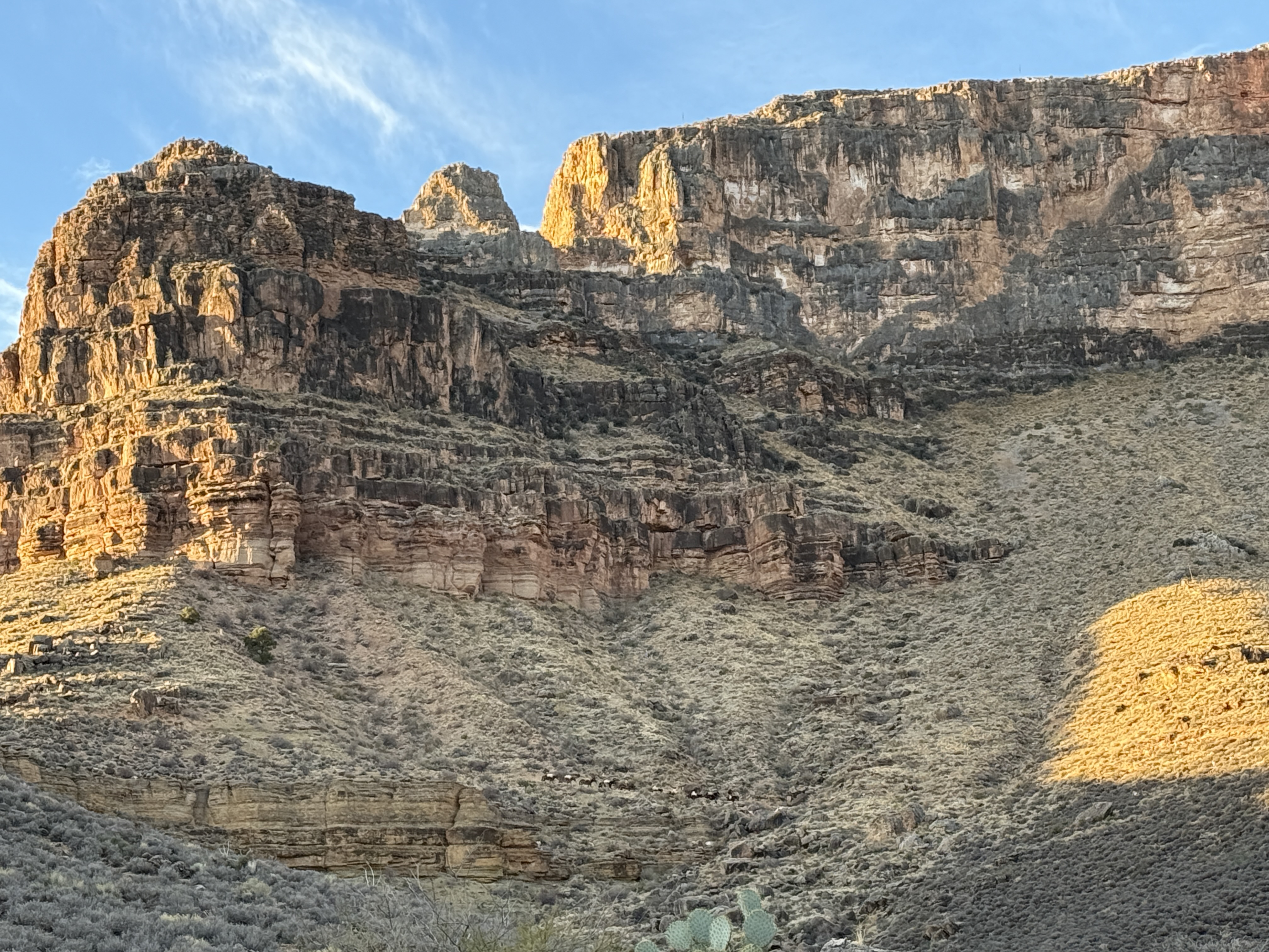
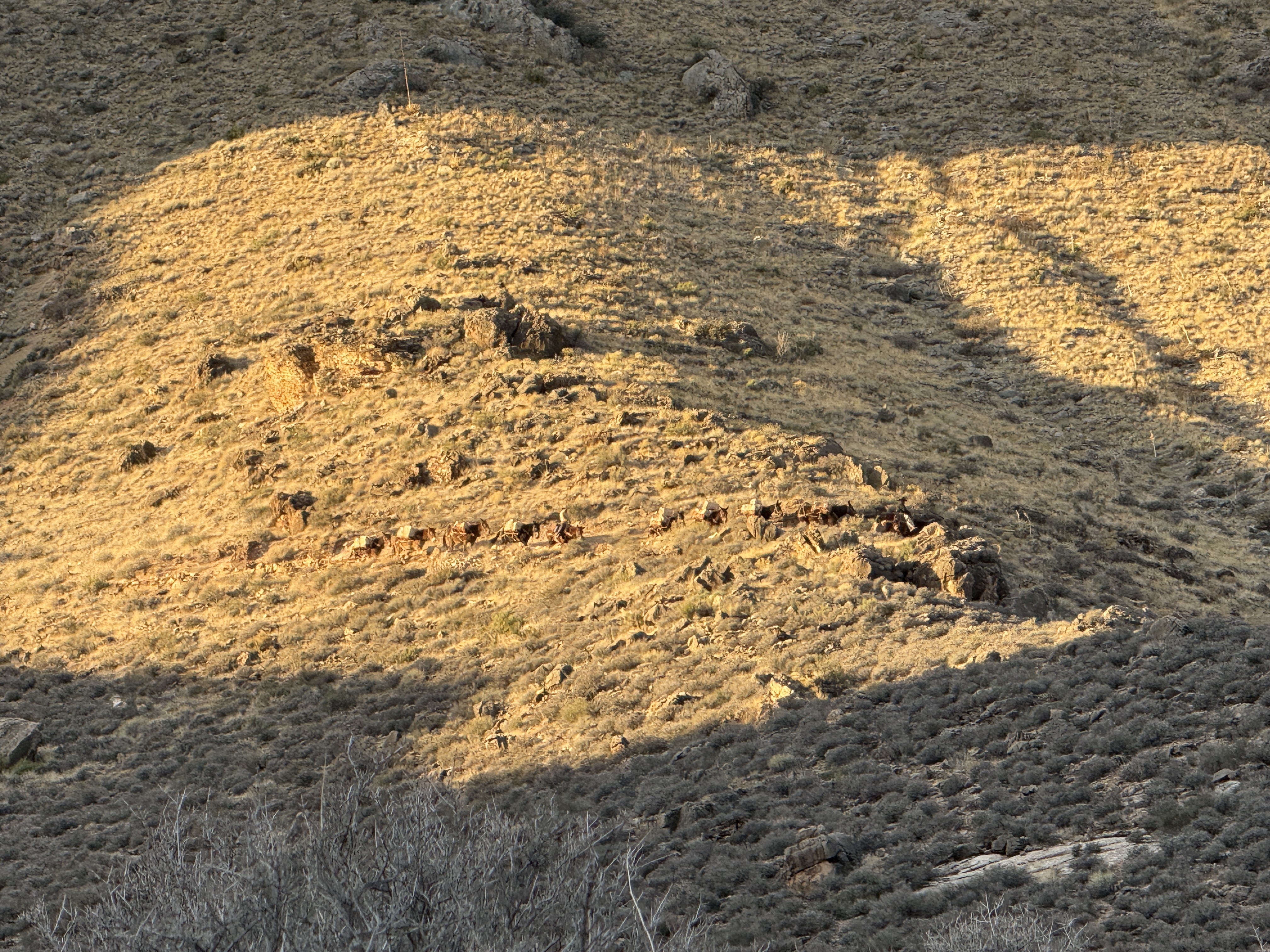
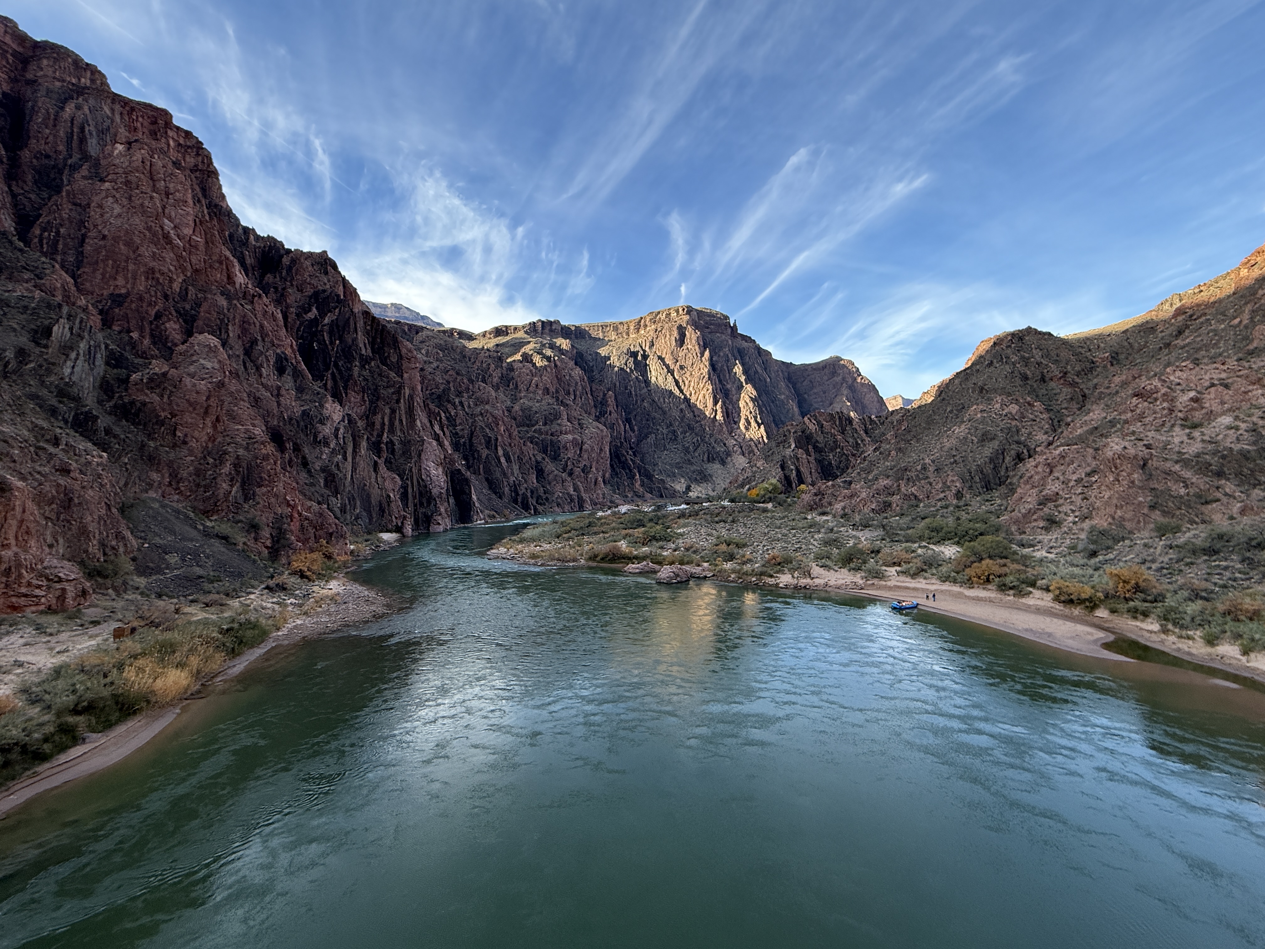
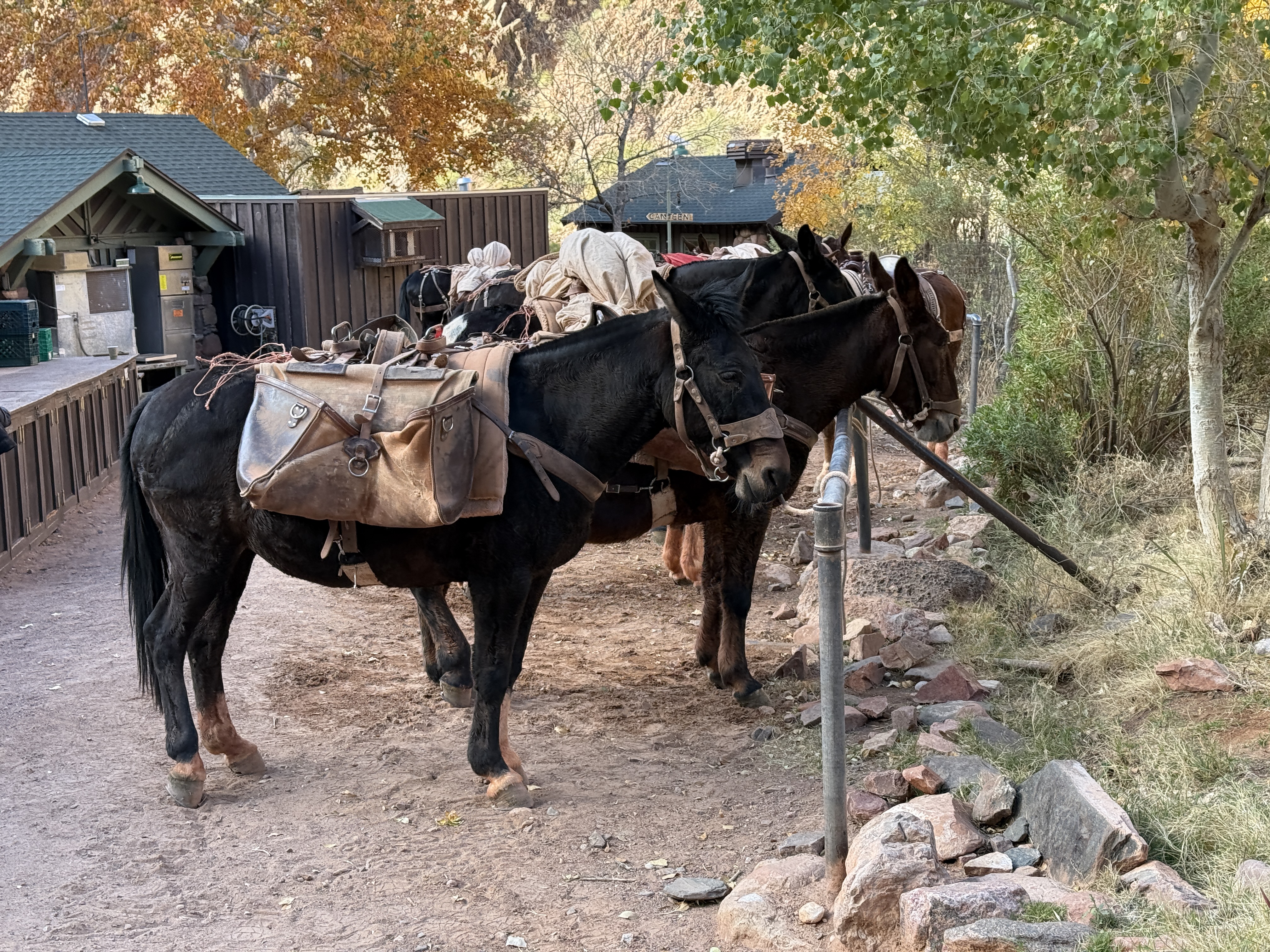
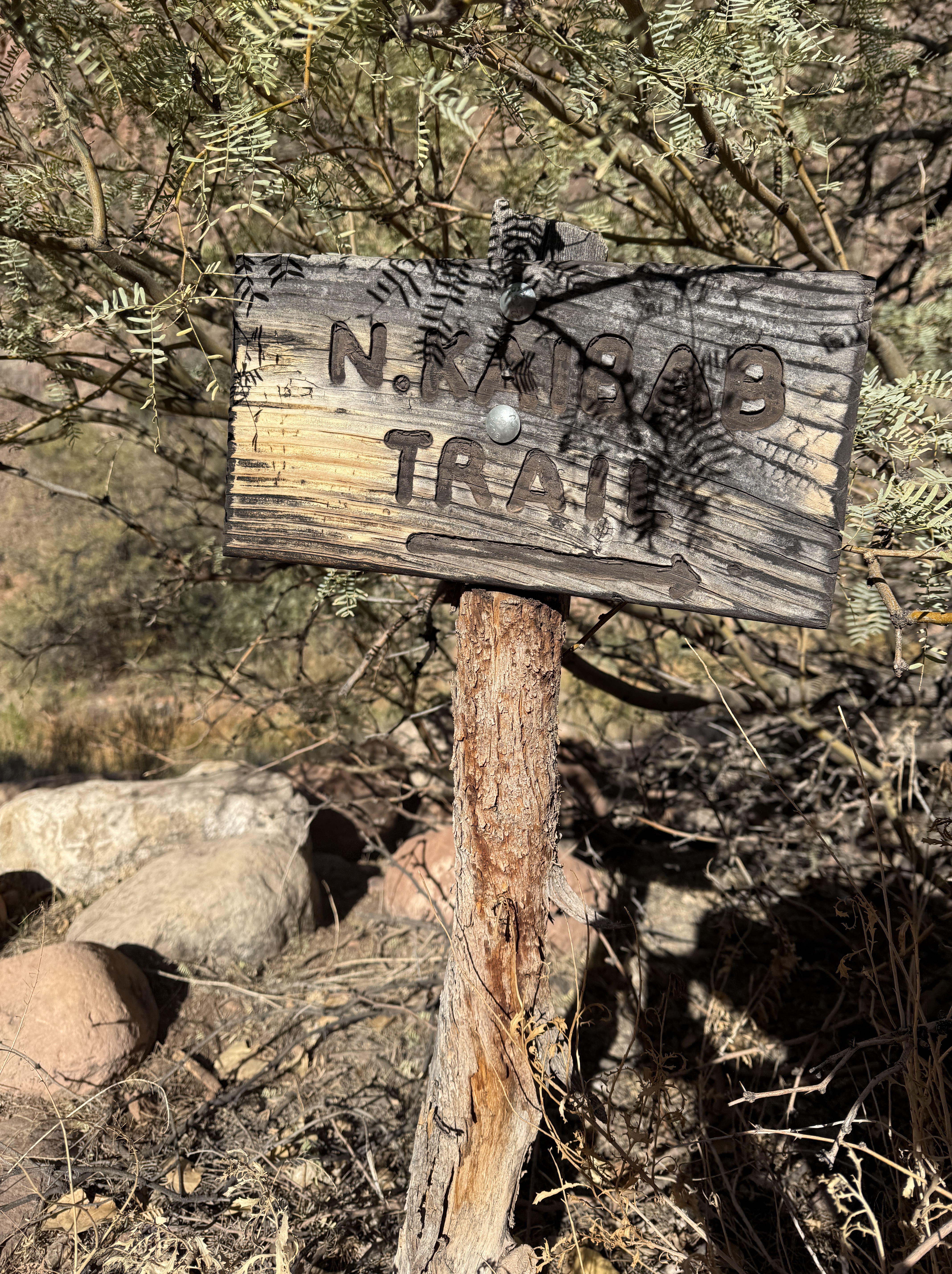
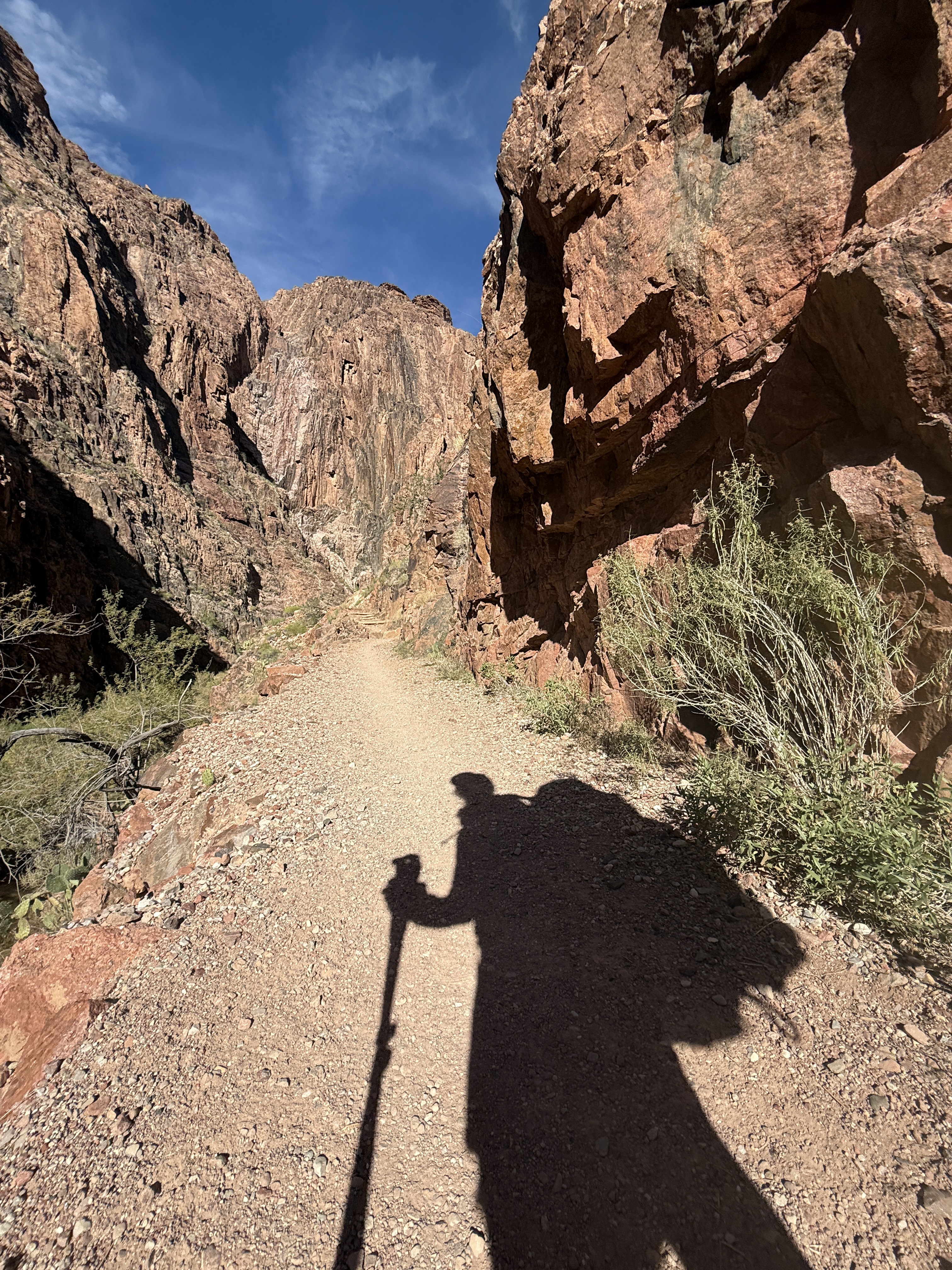
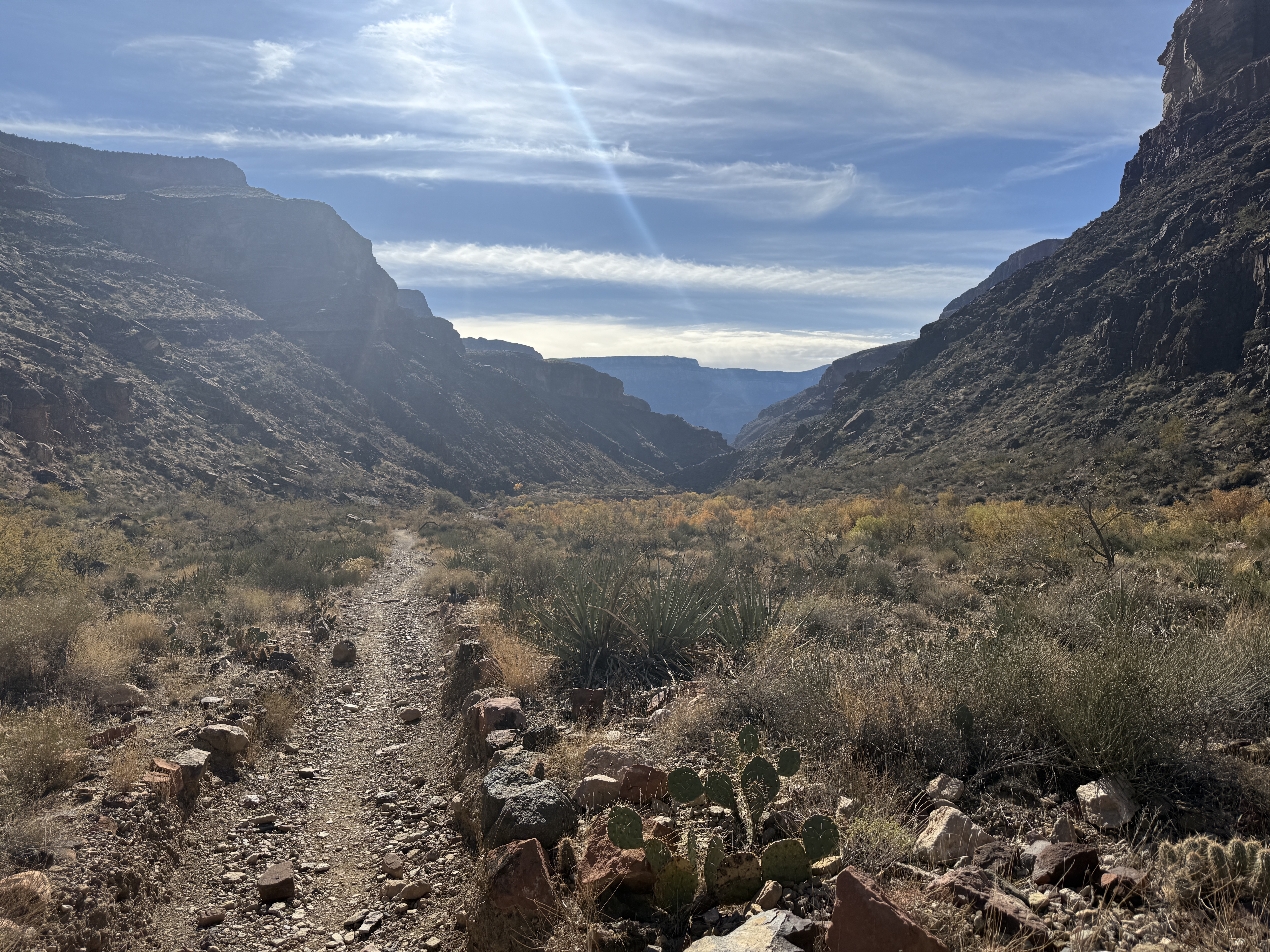
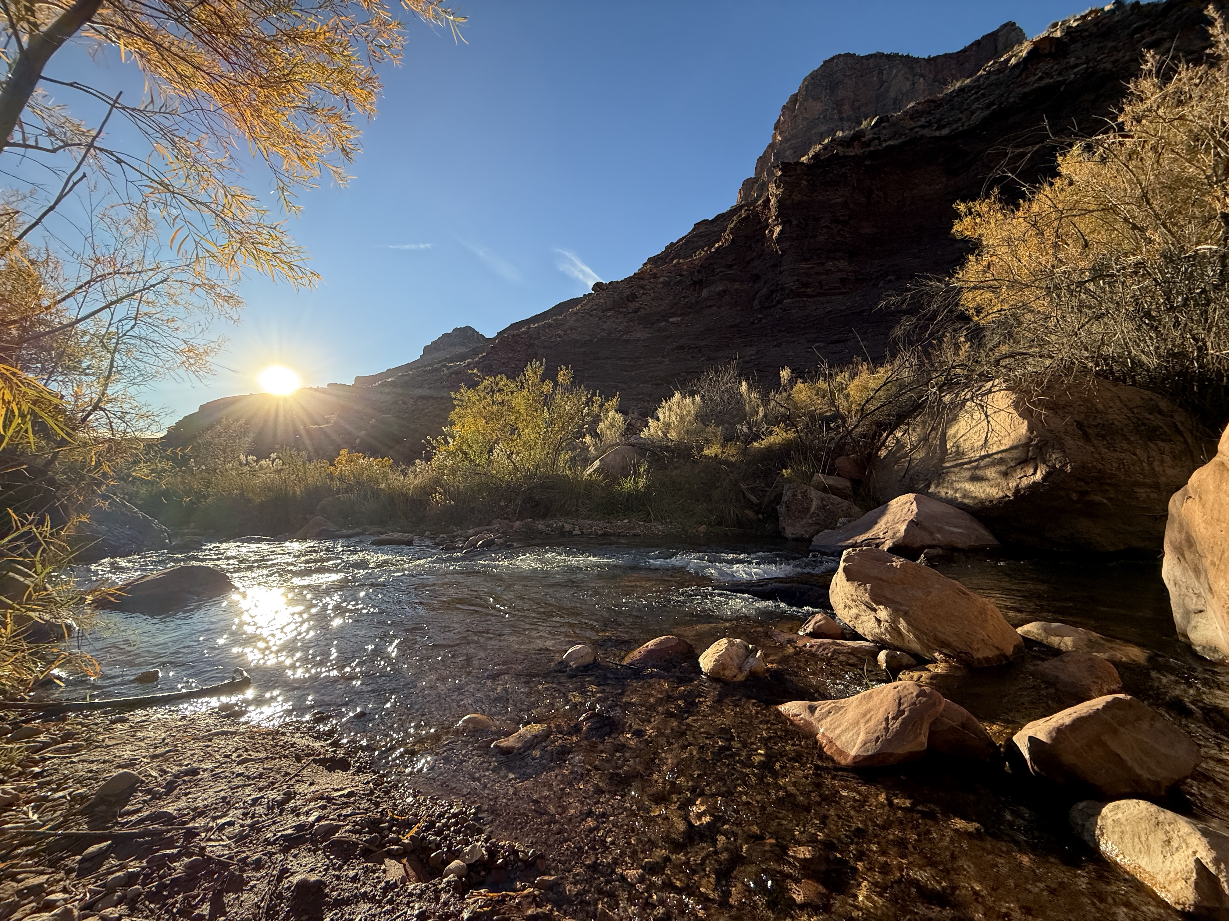
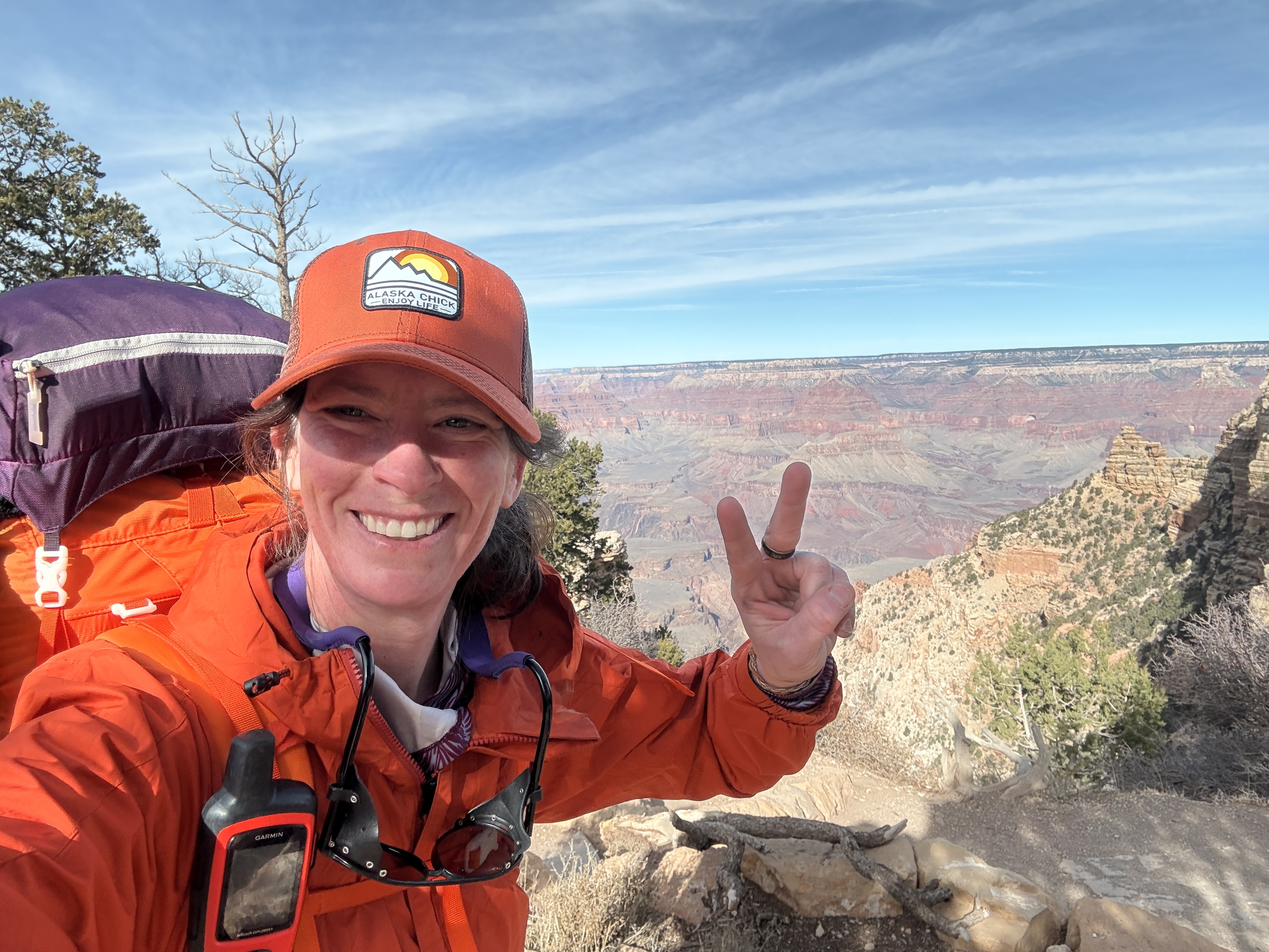
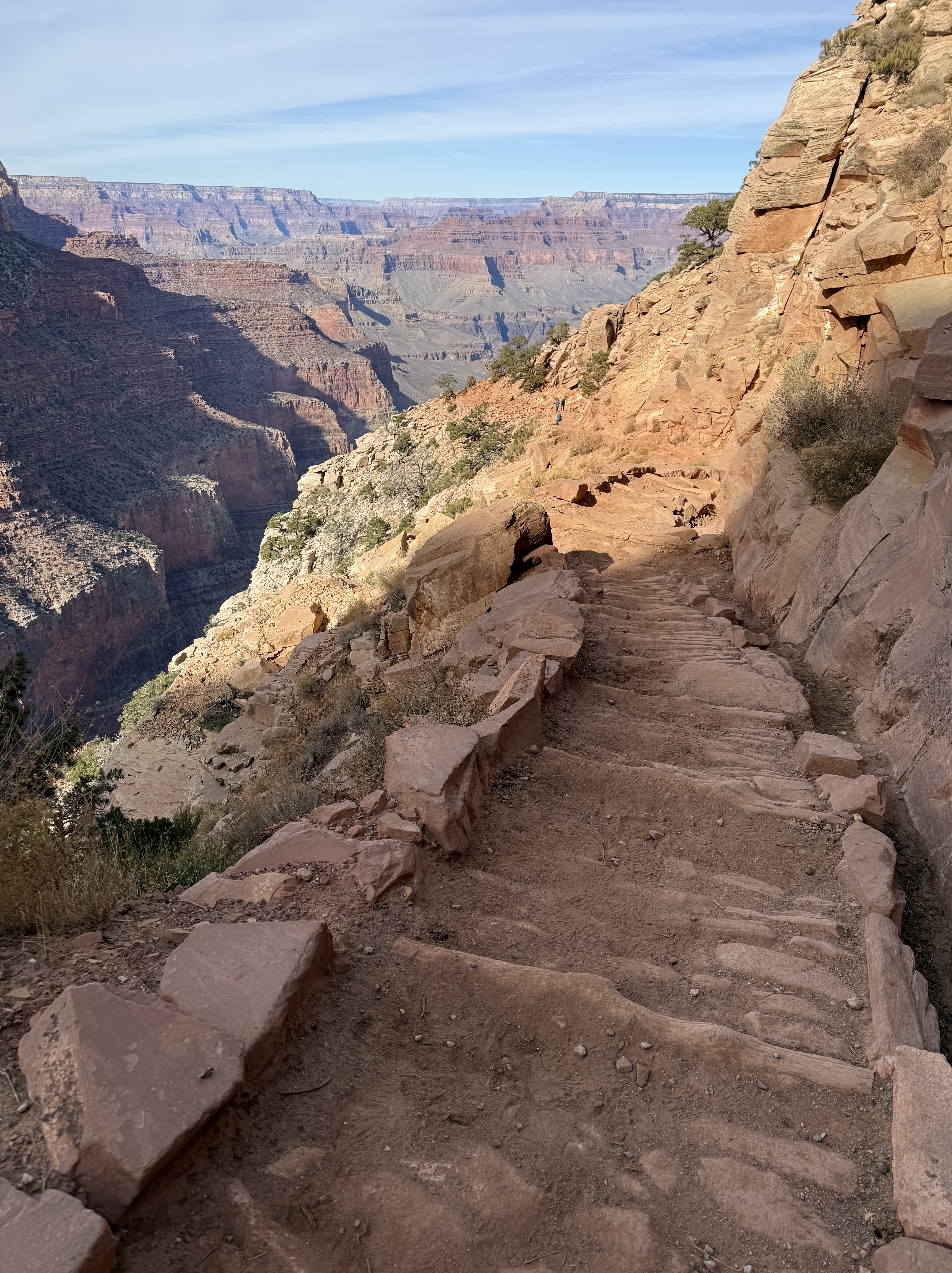
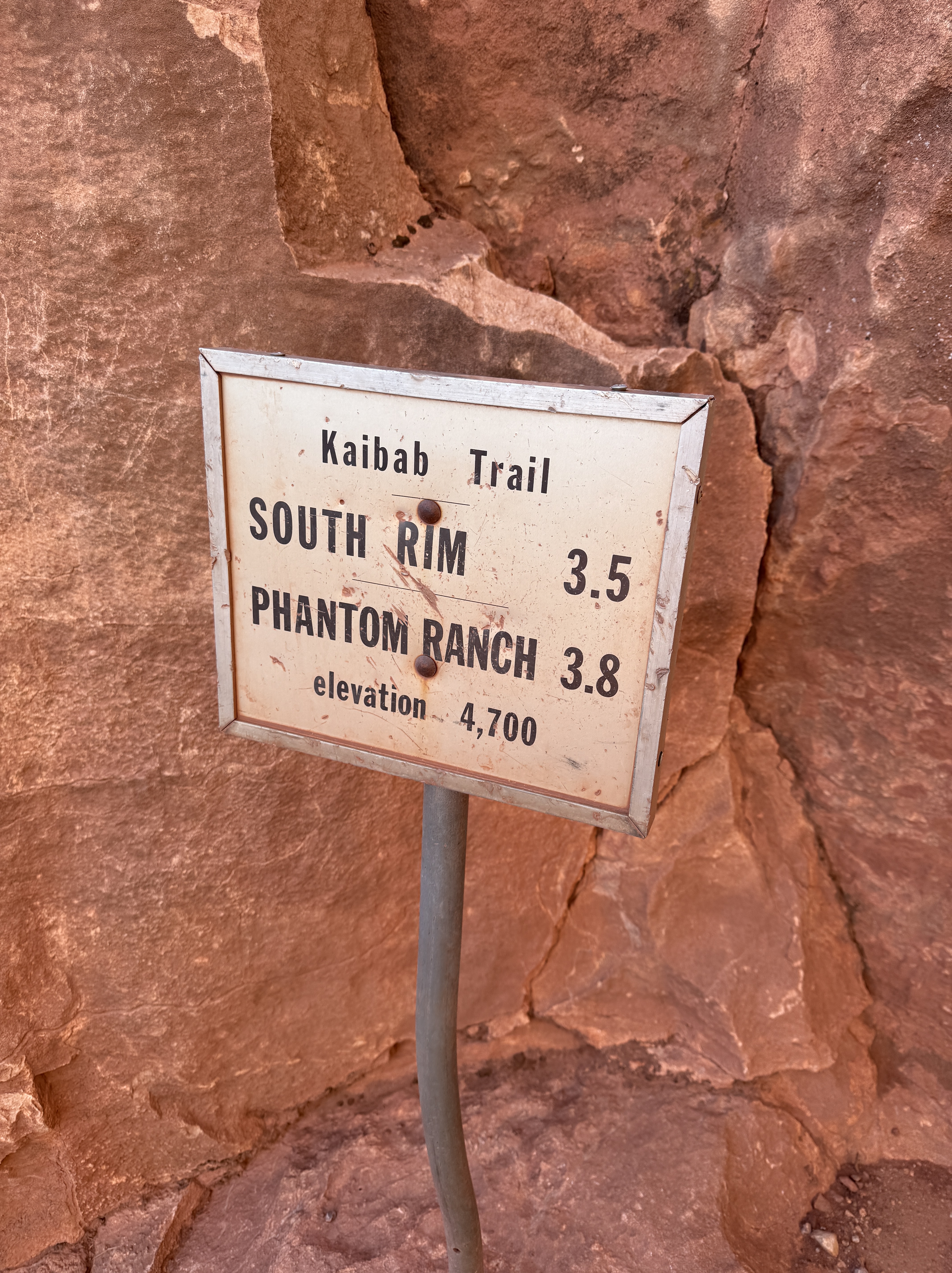
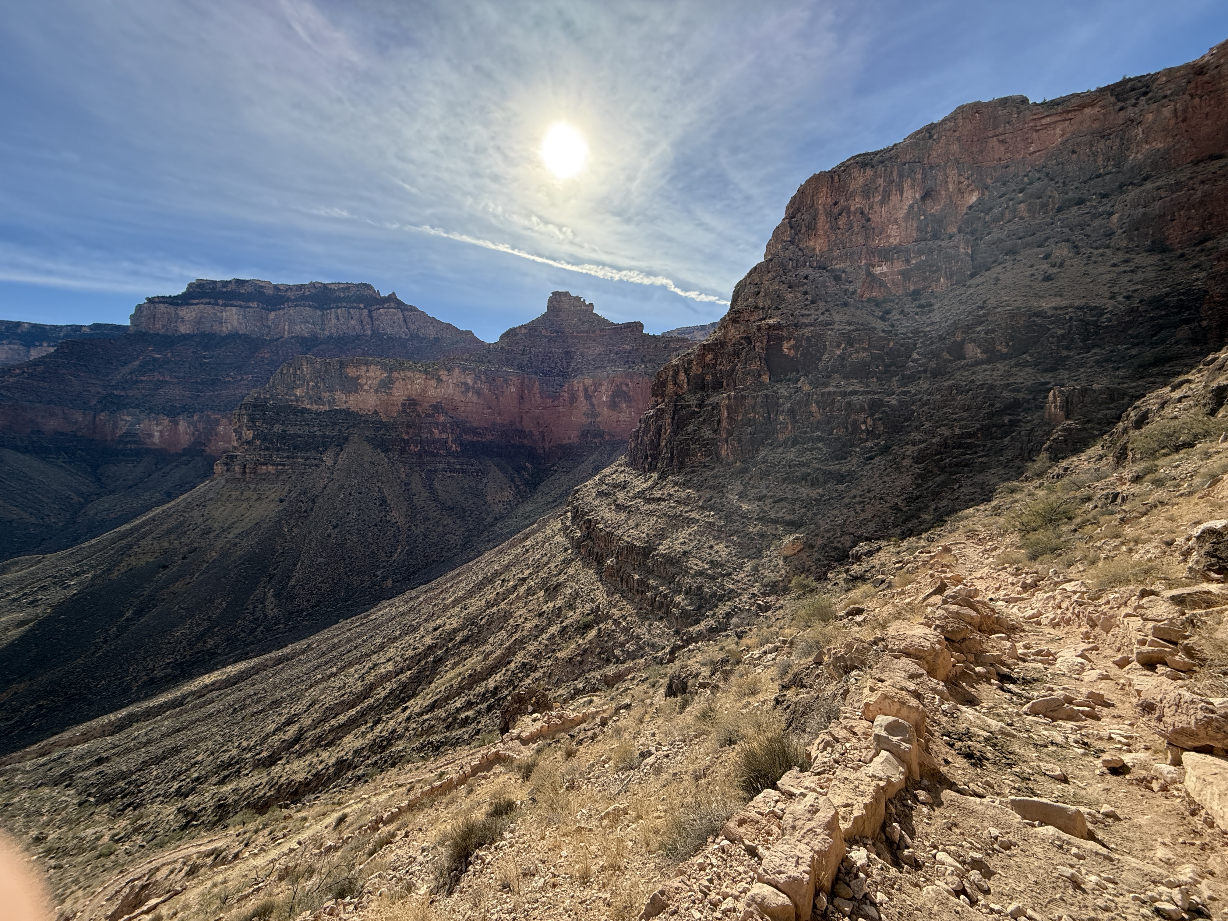
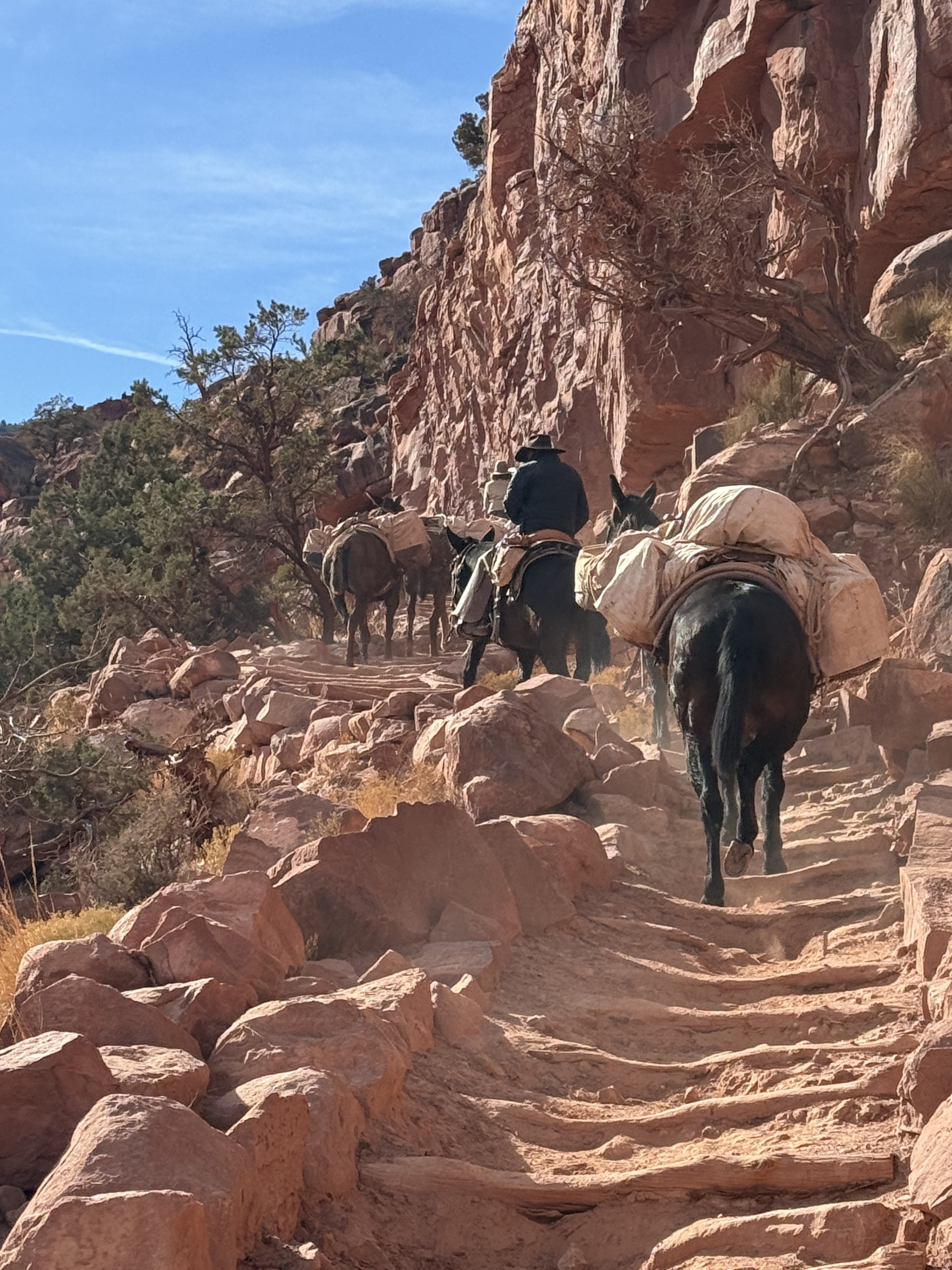
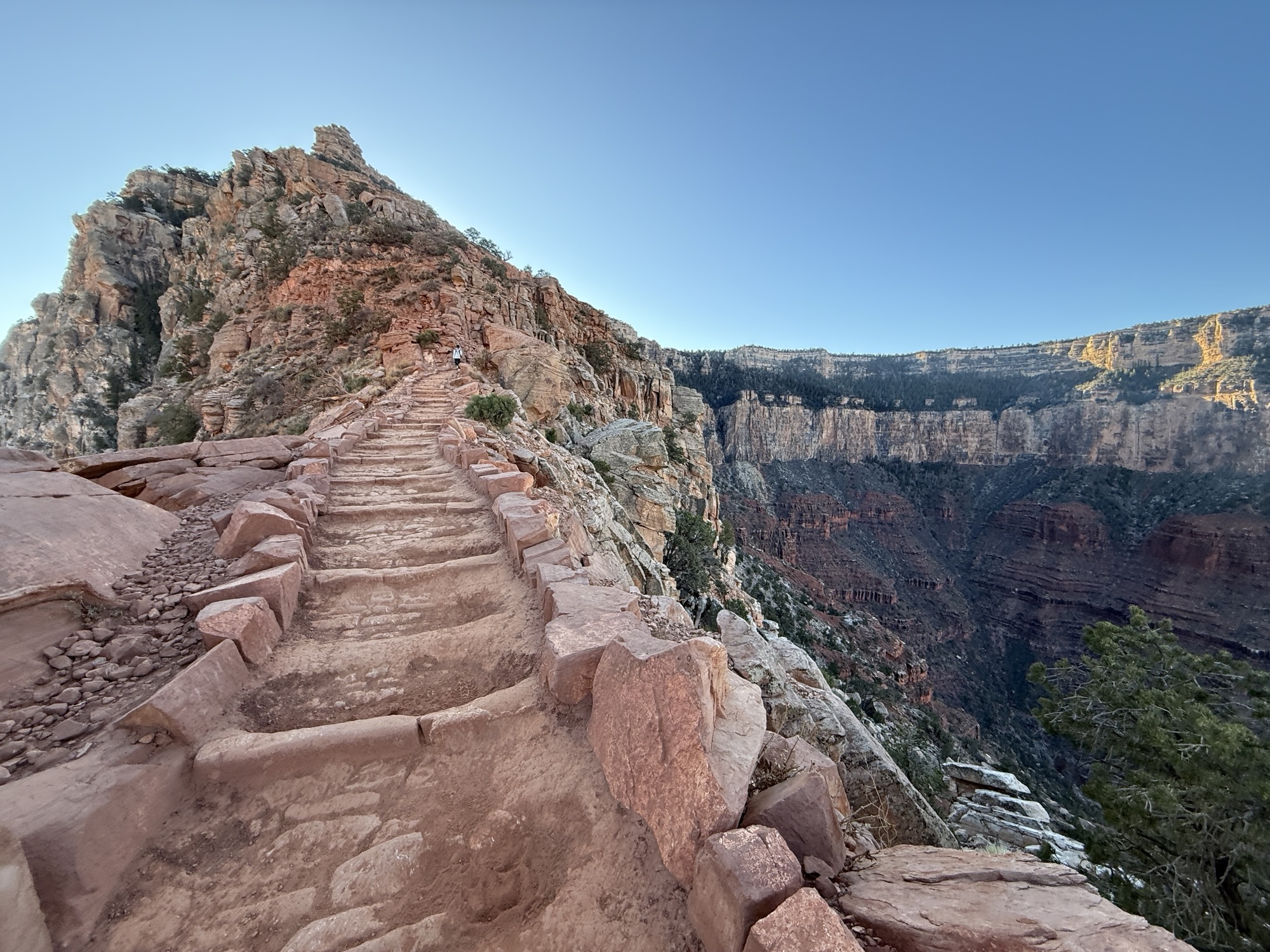
I began climbing up the South Kaibab Trail, starting to see some color where the sun would be rising. The sky soon became golden, and I watched a pack train descending above me. We crossed paths at a sign that said we were at 4,700’ and 3.5 miles from the South Rim. I moved slowly, wanting to really savor this beautiful, quiet morning in the Canyon.


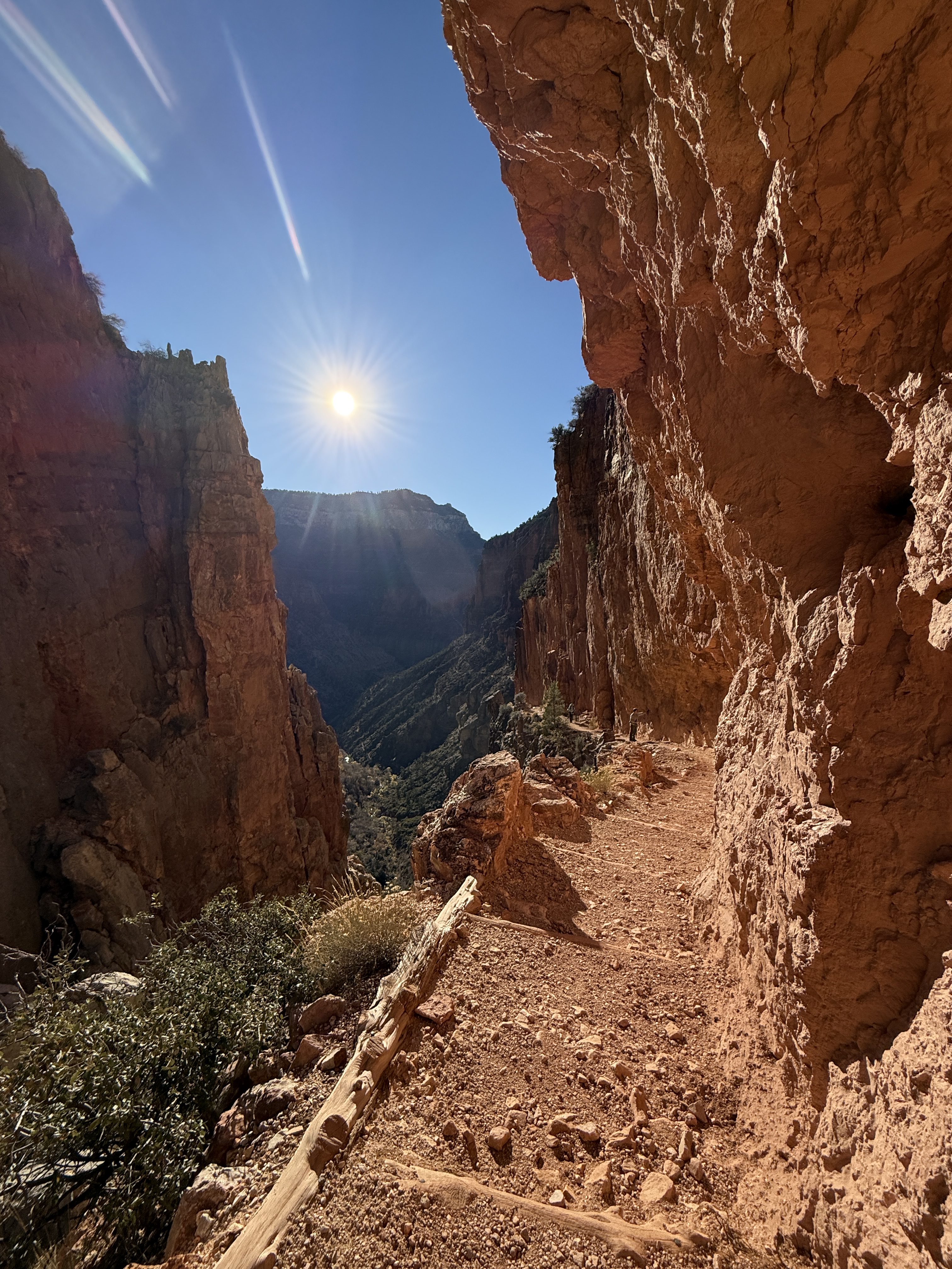
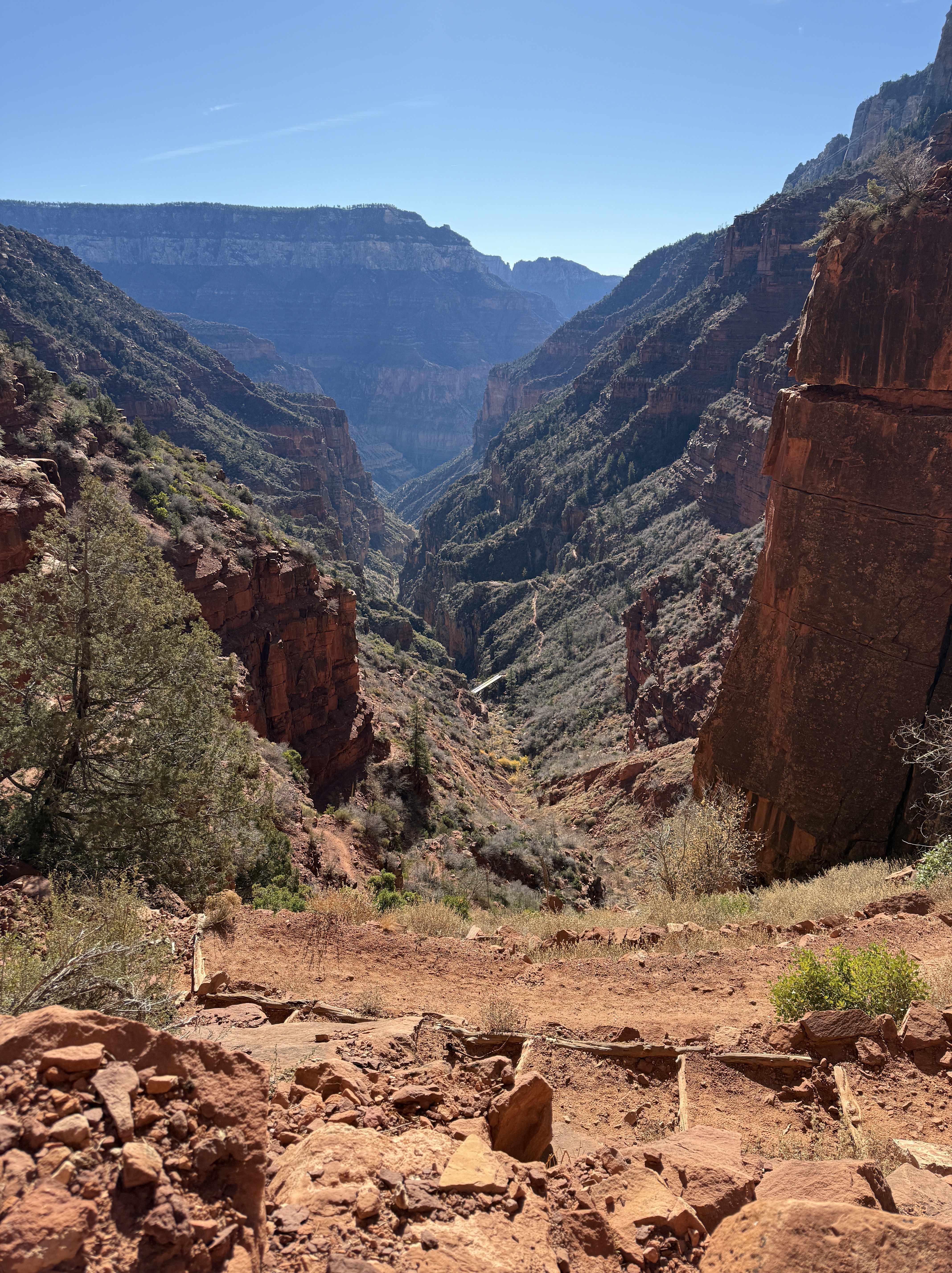
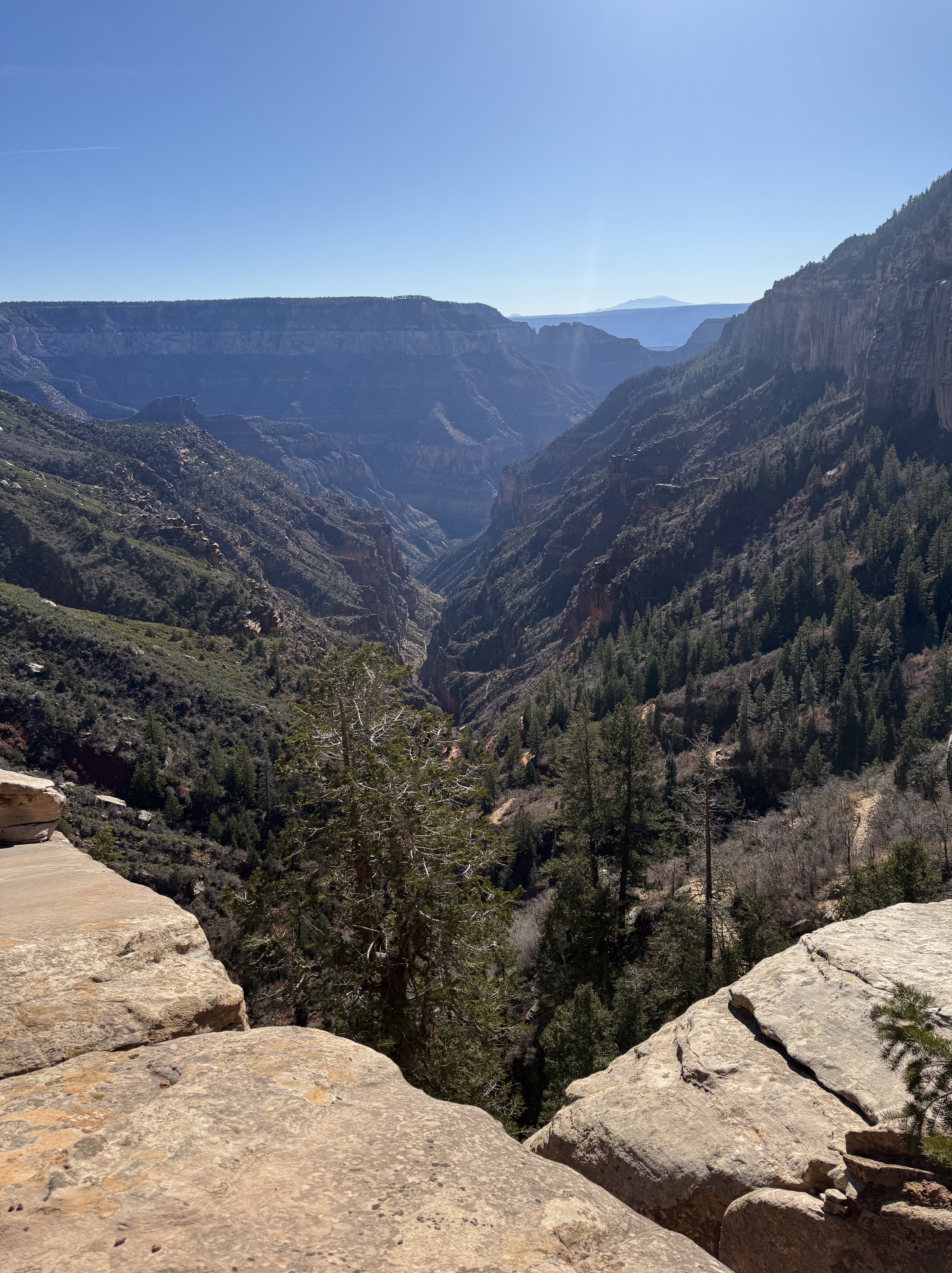
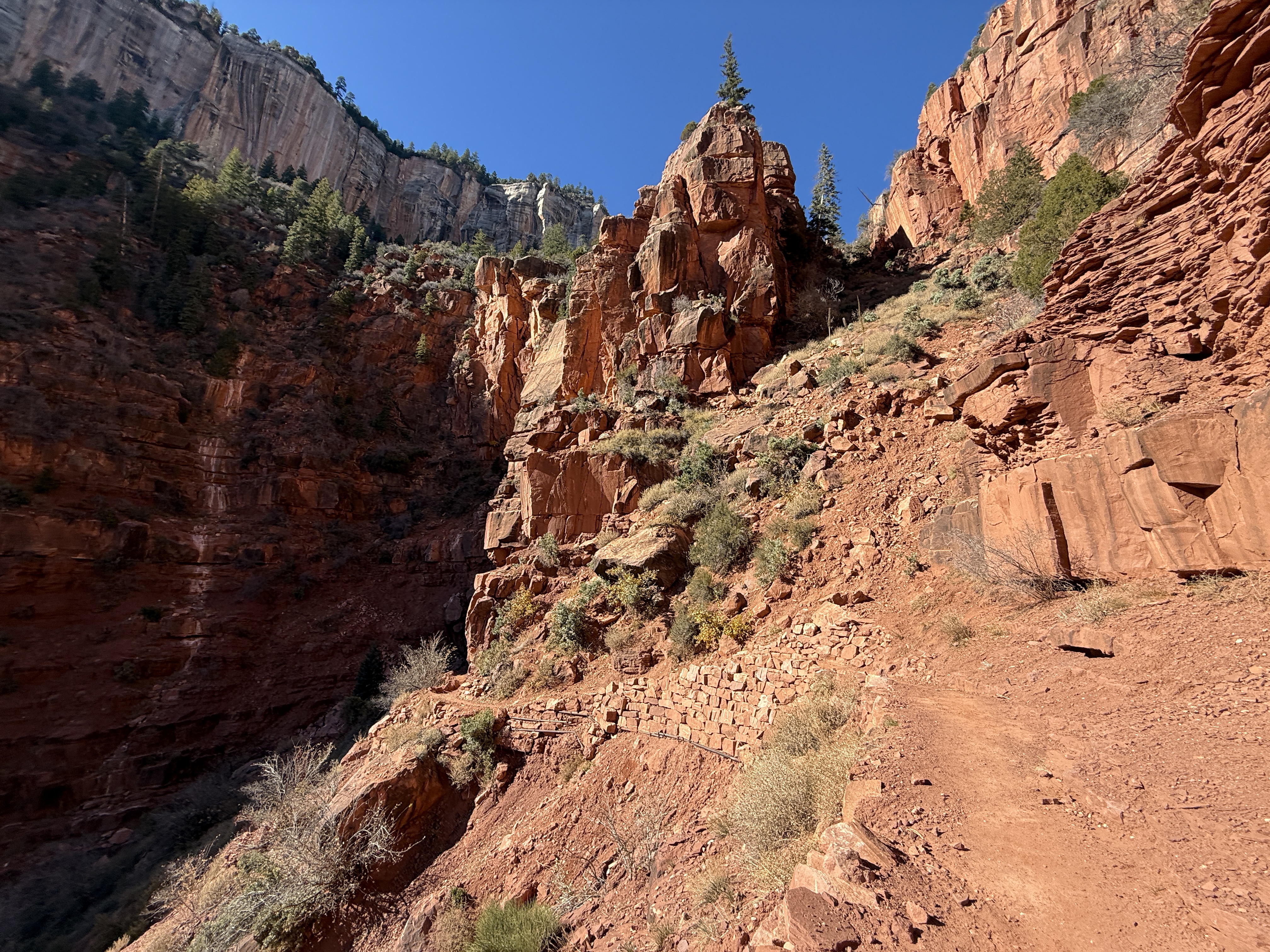
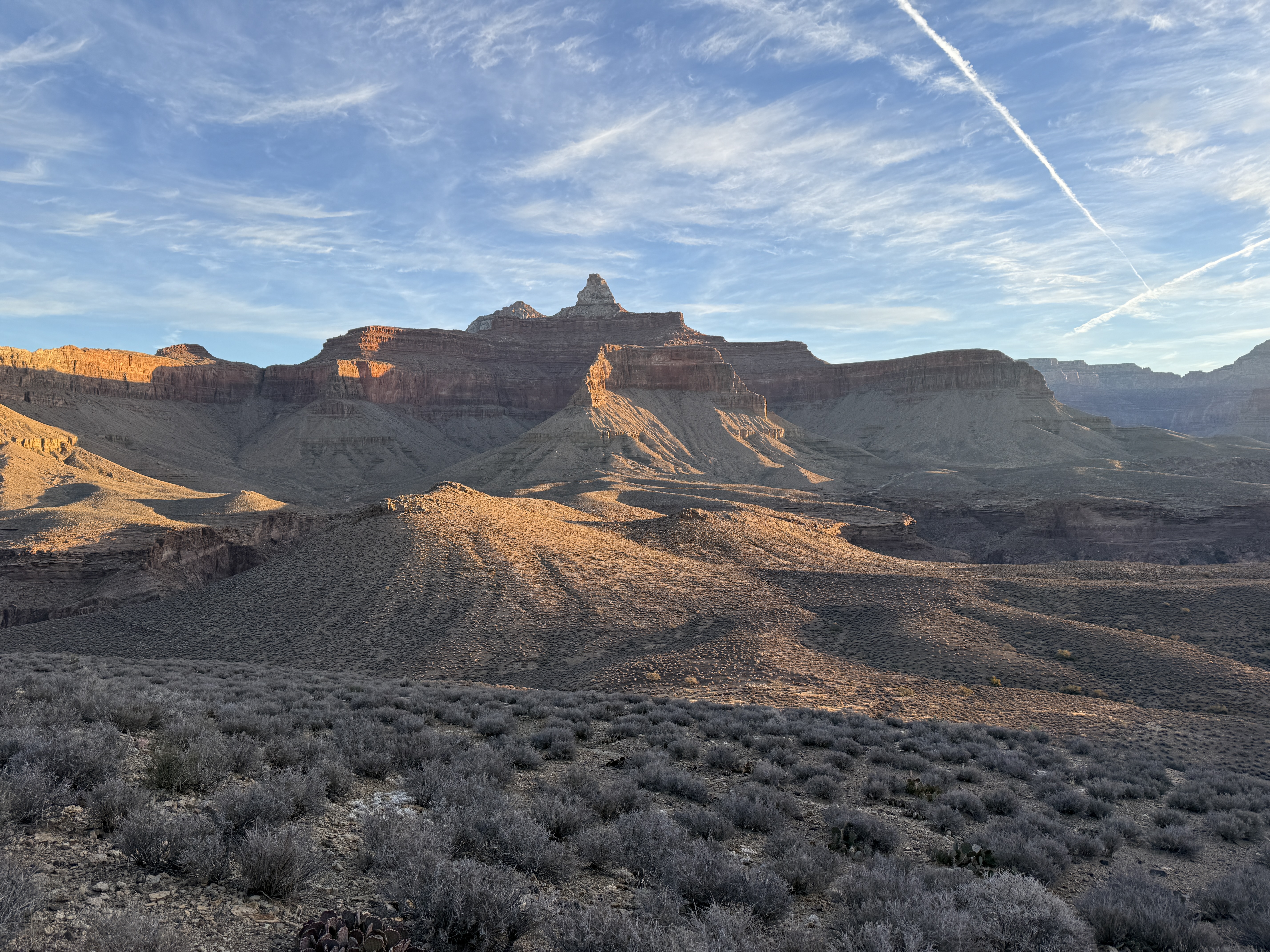
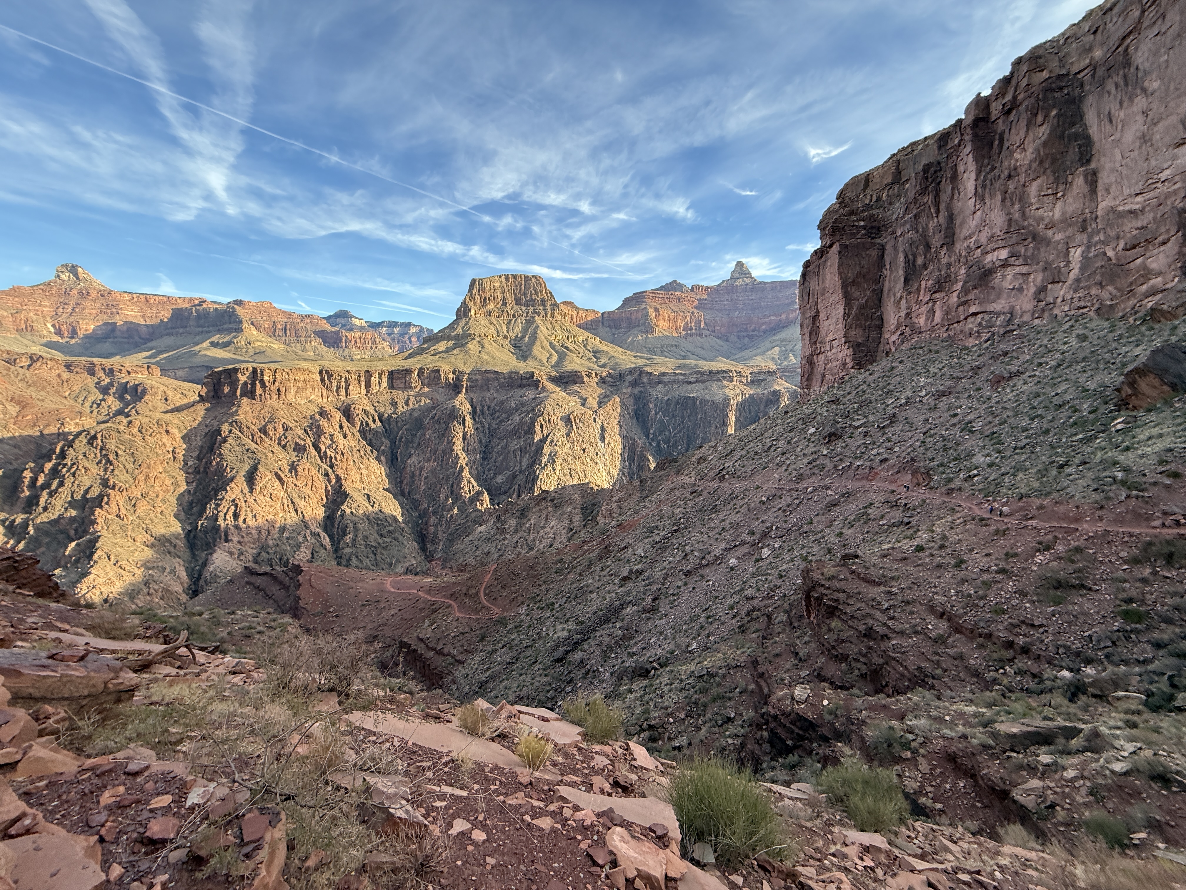
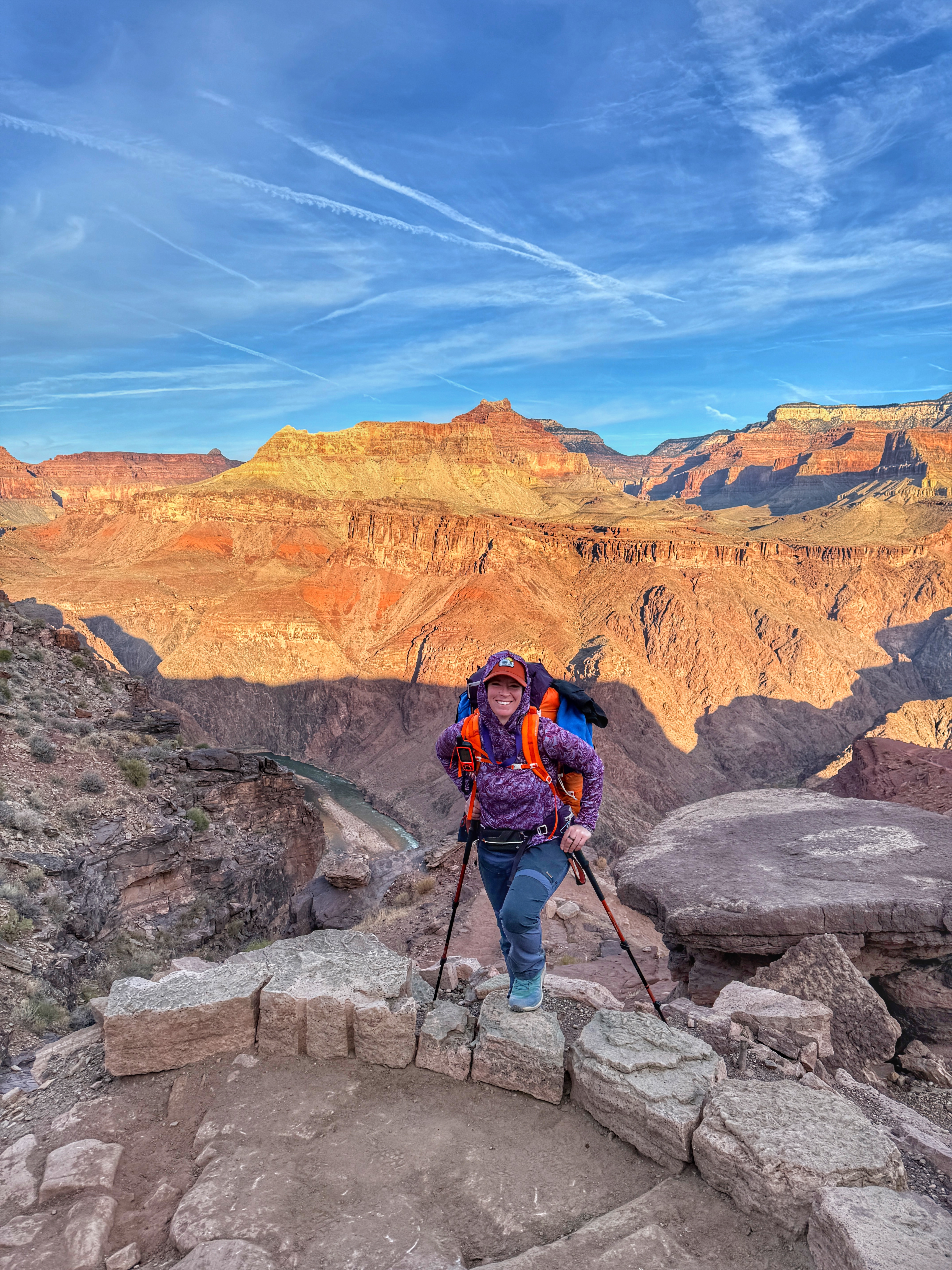
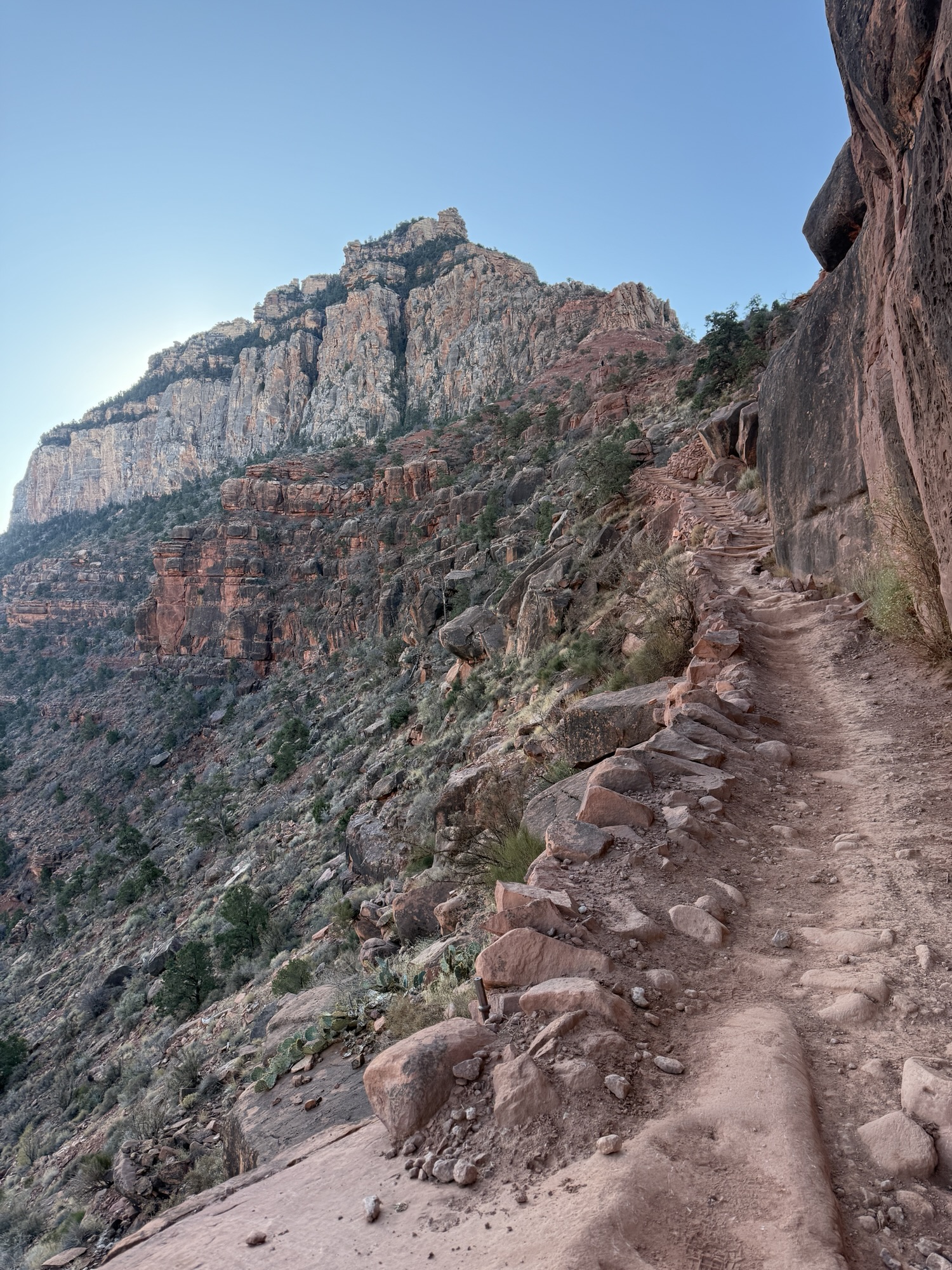
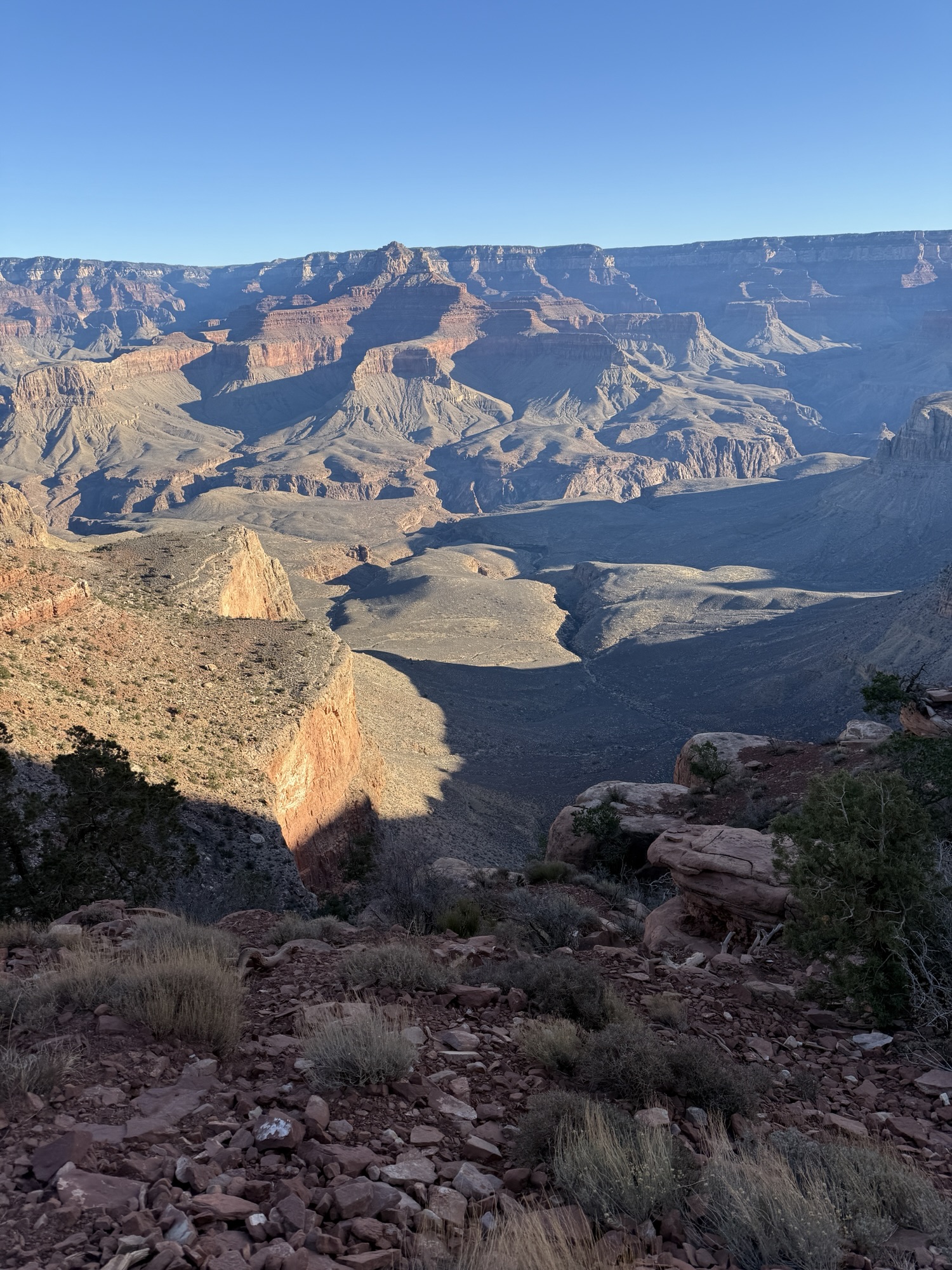
Just below Skeleton Point, the trail switches back and forth on itself, with an expansive view to the east. I stopped and watched the sun rise over the canyon walls, one of the most beautiful sights I had ever seen, and it hit me. I would soon be out of the Canyon. It was almost over.
I wasn’t ready. I wanted to see this sunrise every day forever. I wanted to cowboy camp under the stars. I wanted to walk every trail and explore every canyon. I couldn’t help but tear up, and soon I was crying both with joy for the gifts I was given by The Canyon but also in mourning for the end of my trip. To this day when I think of that moment I get choked up, and I think that will continue to happen for the rest of my existence on this Earth.
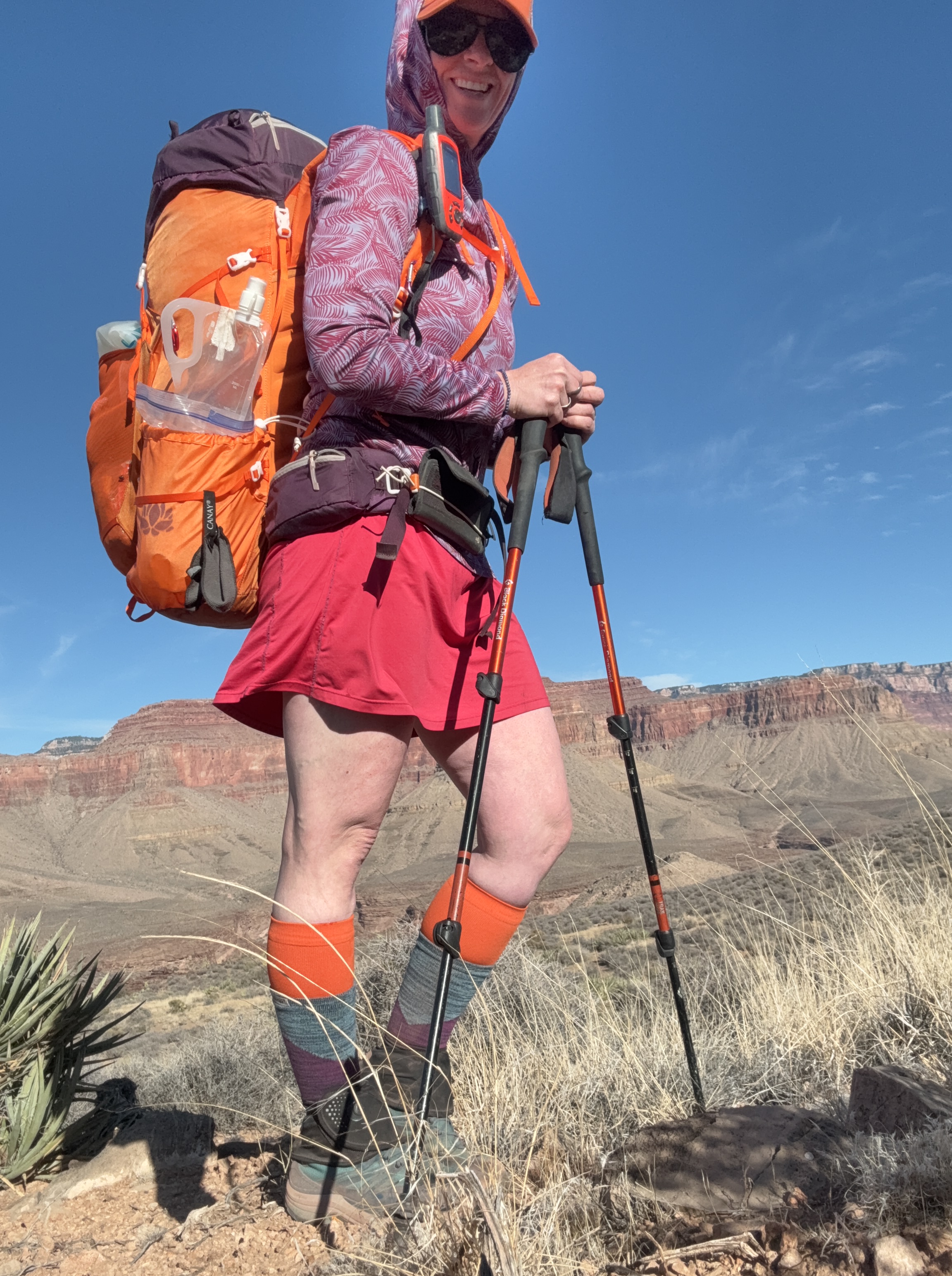
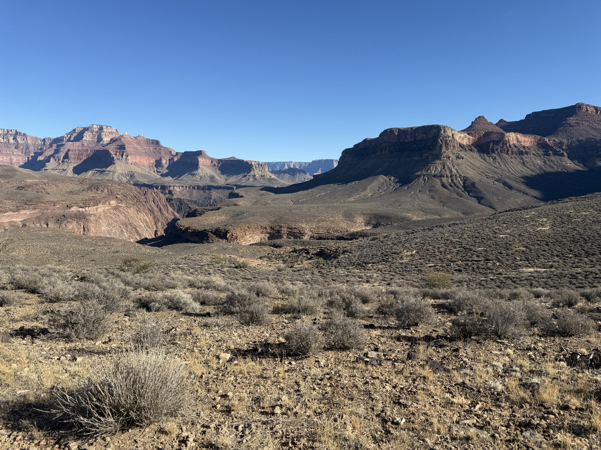
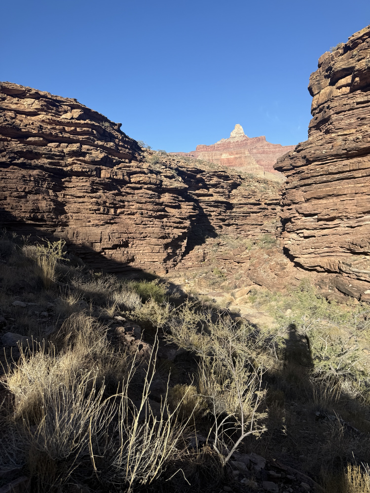
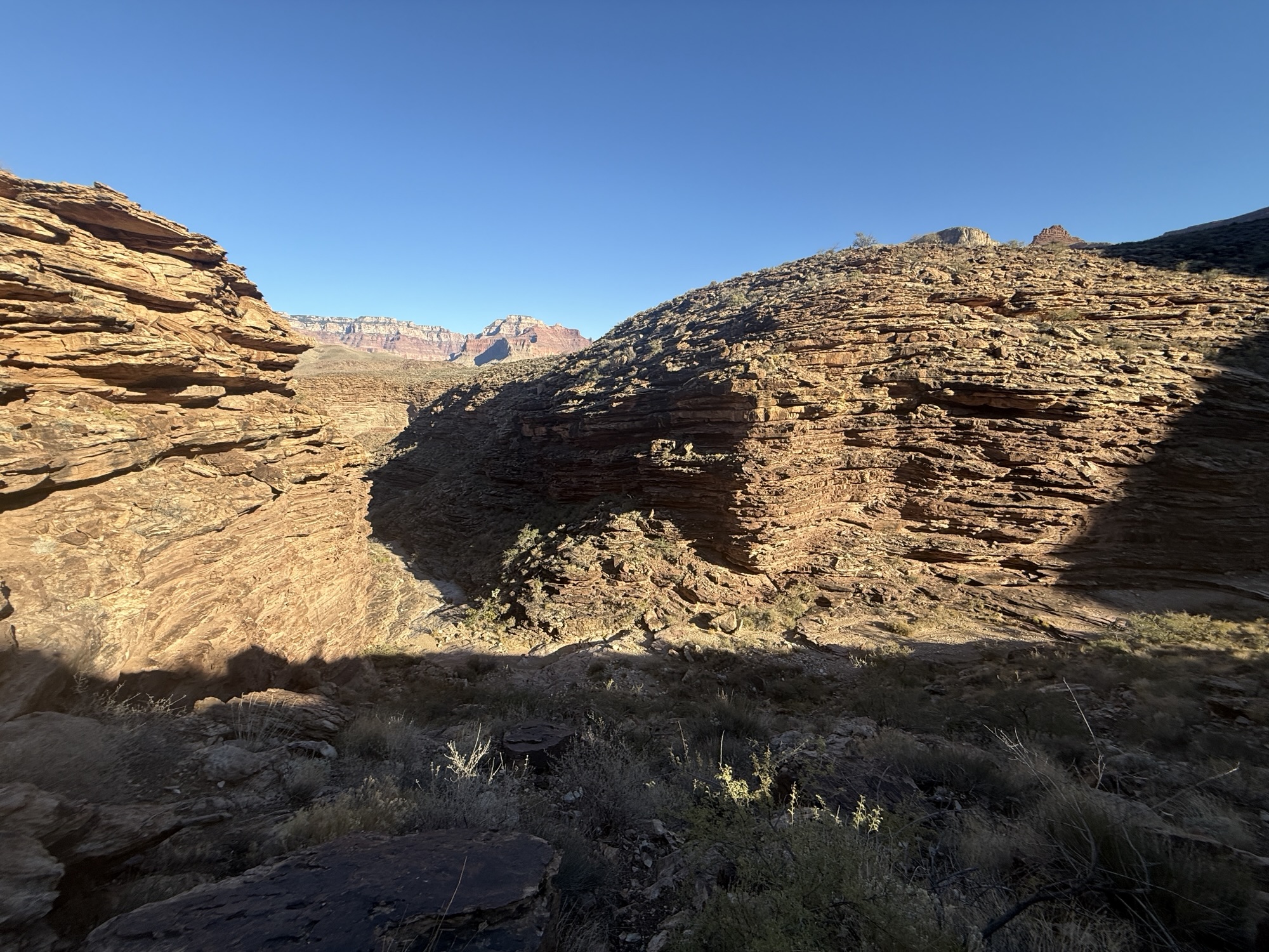
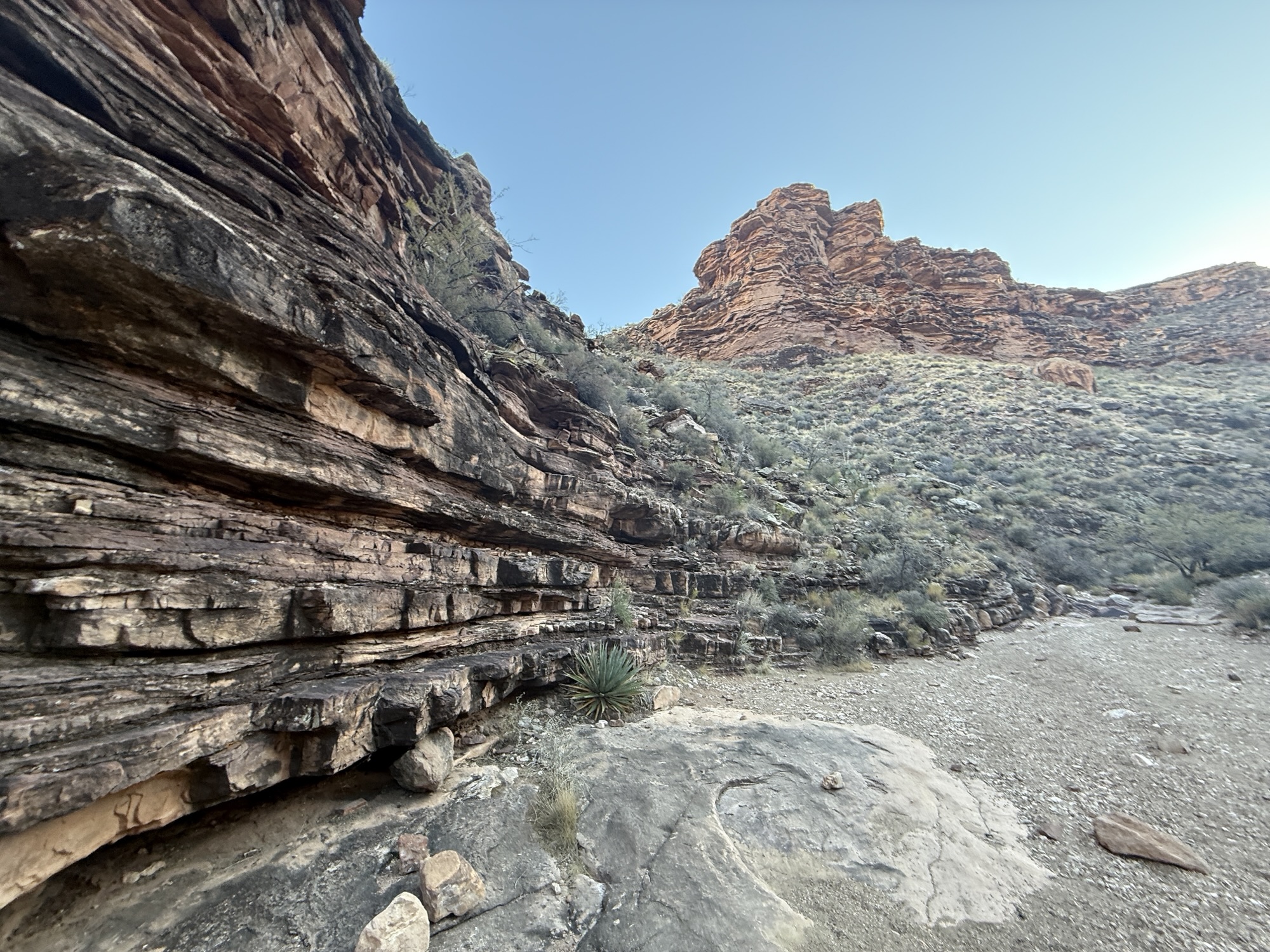
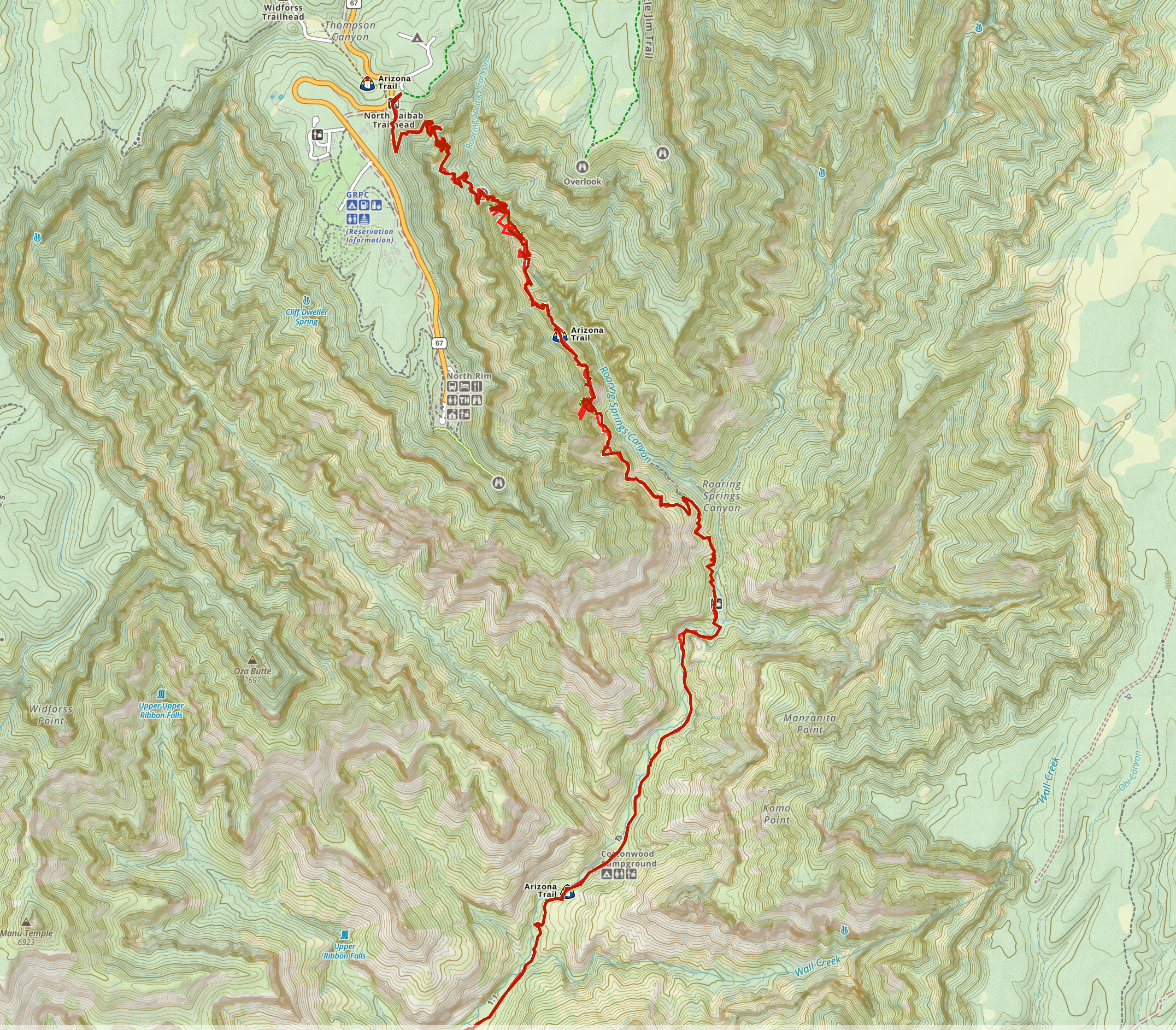
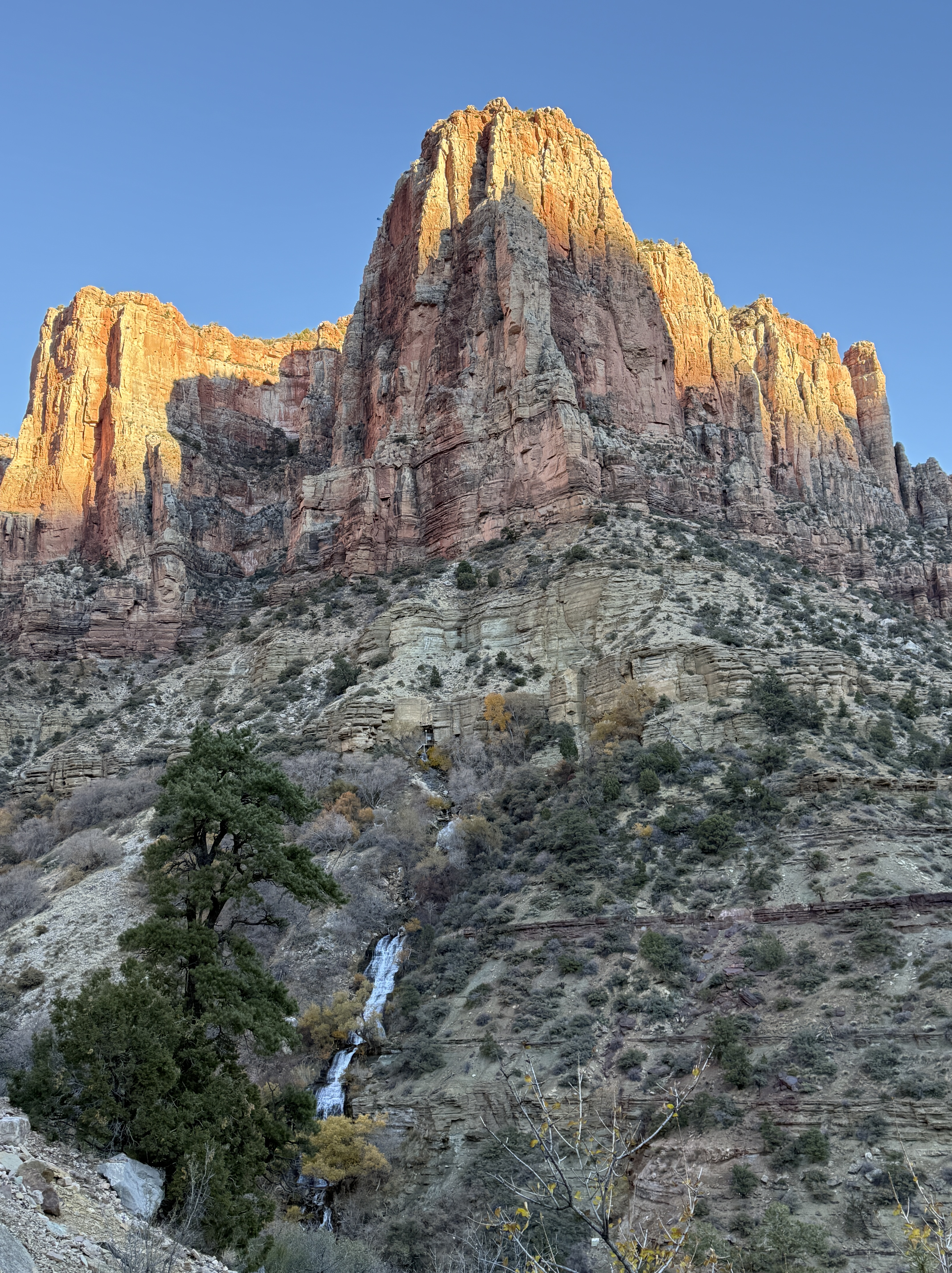
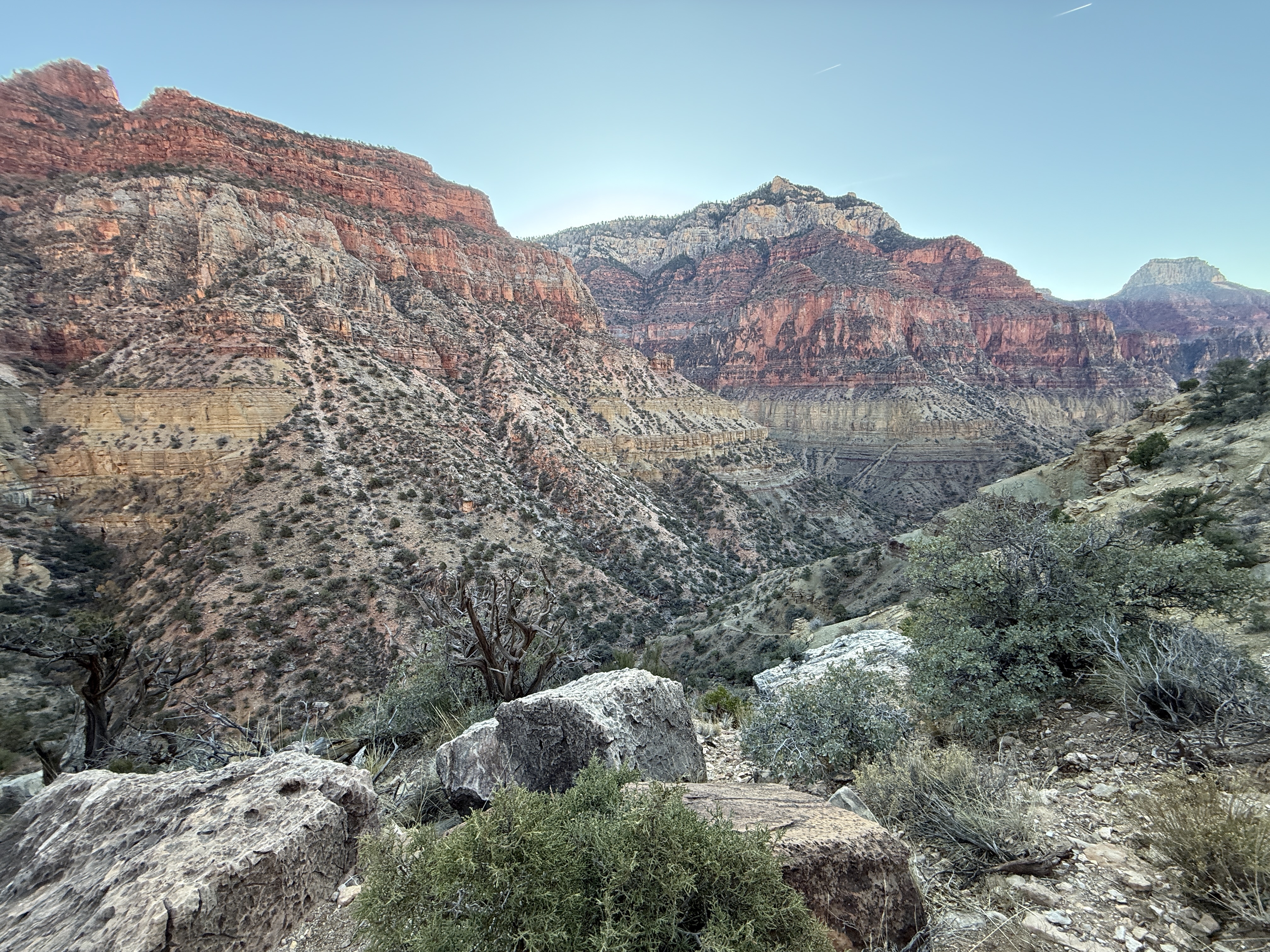
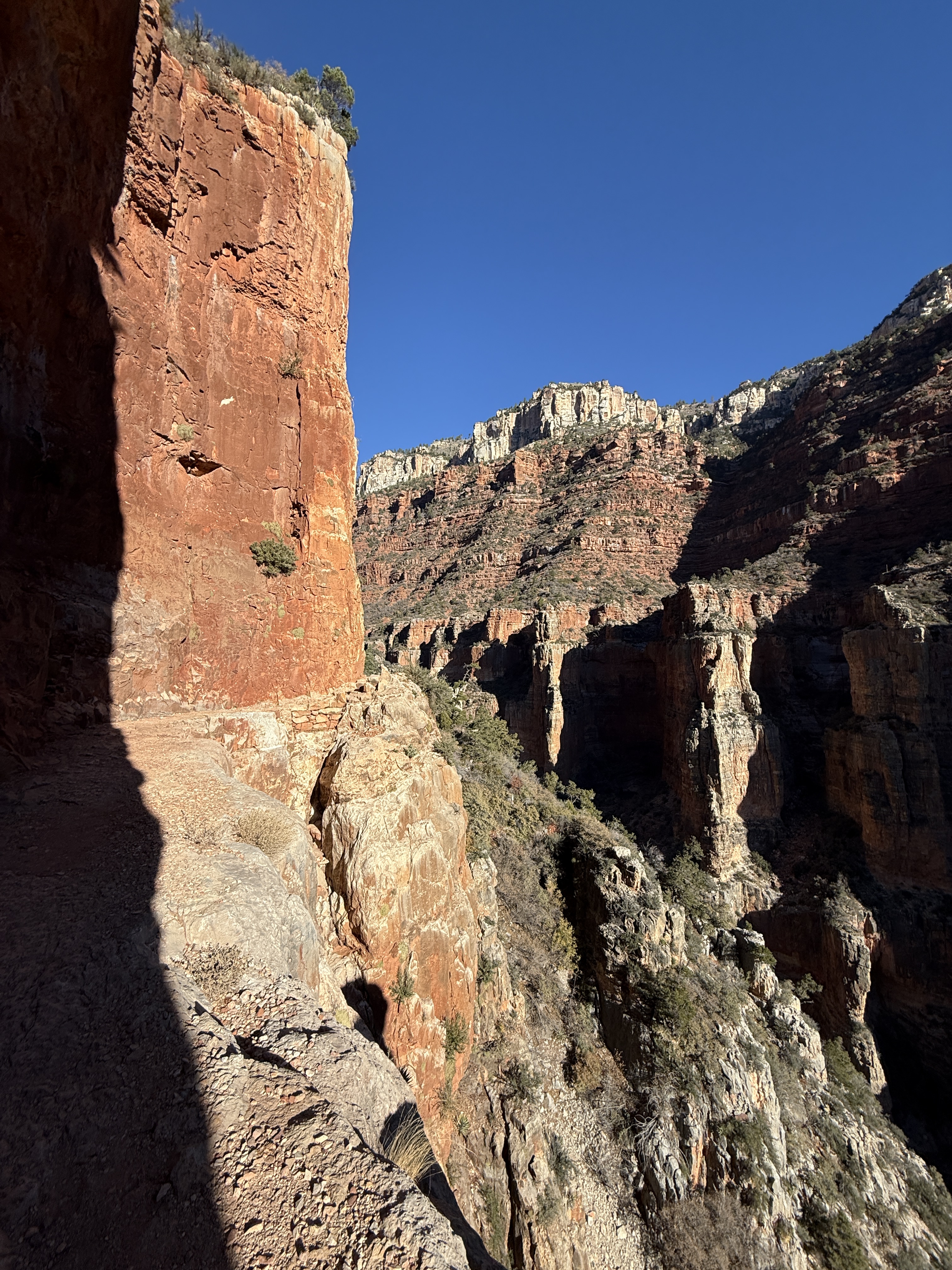
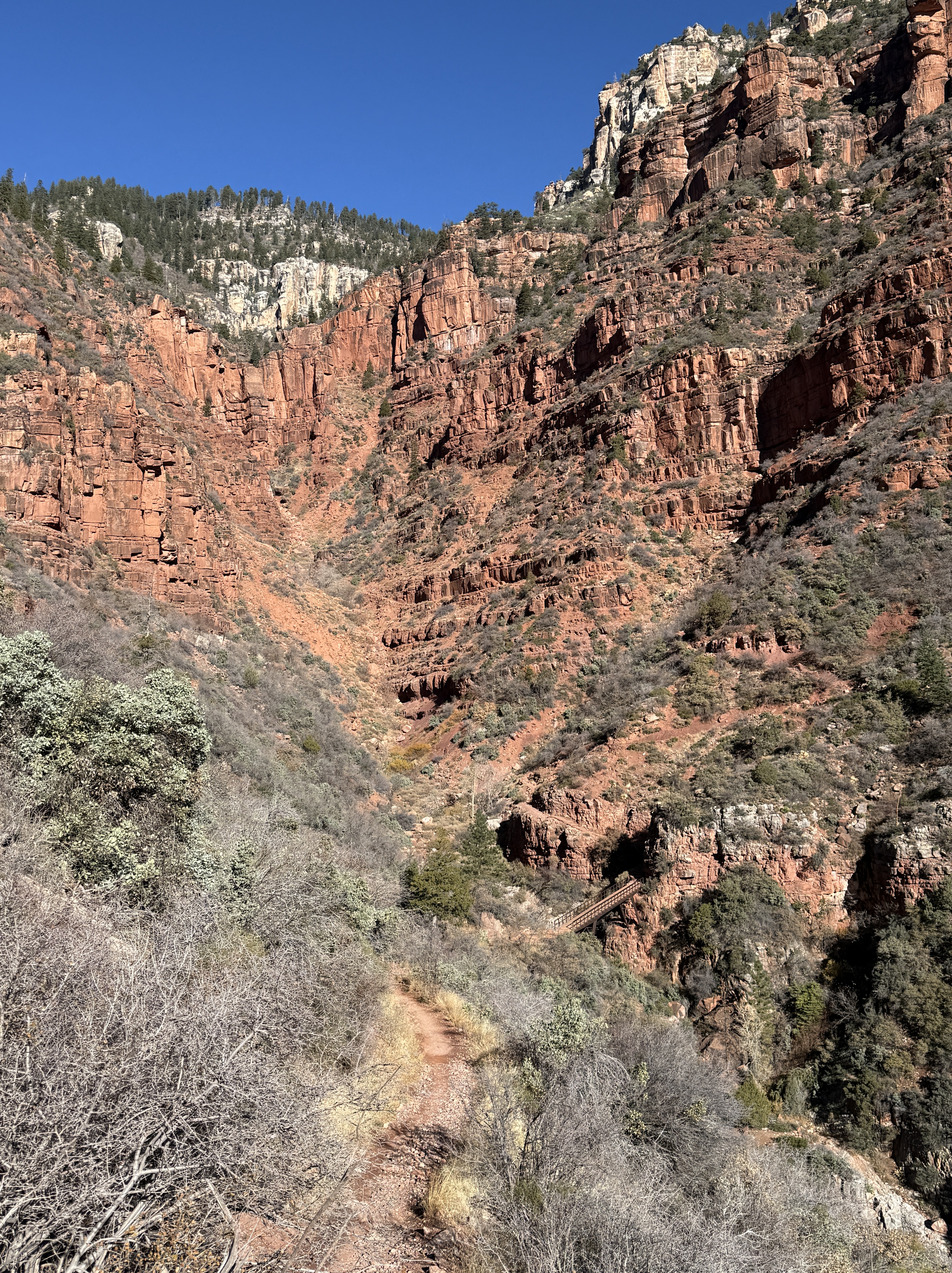
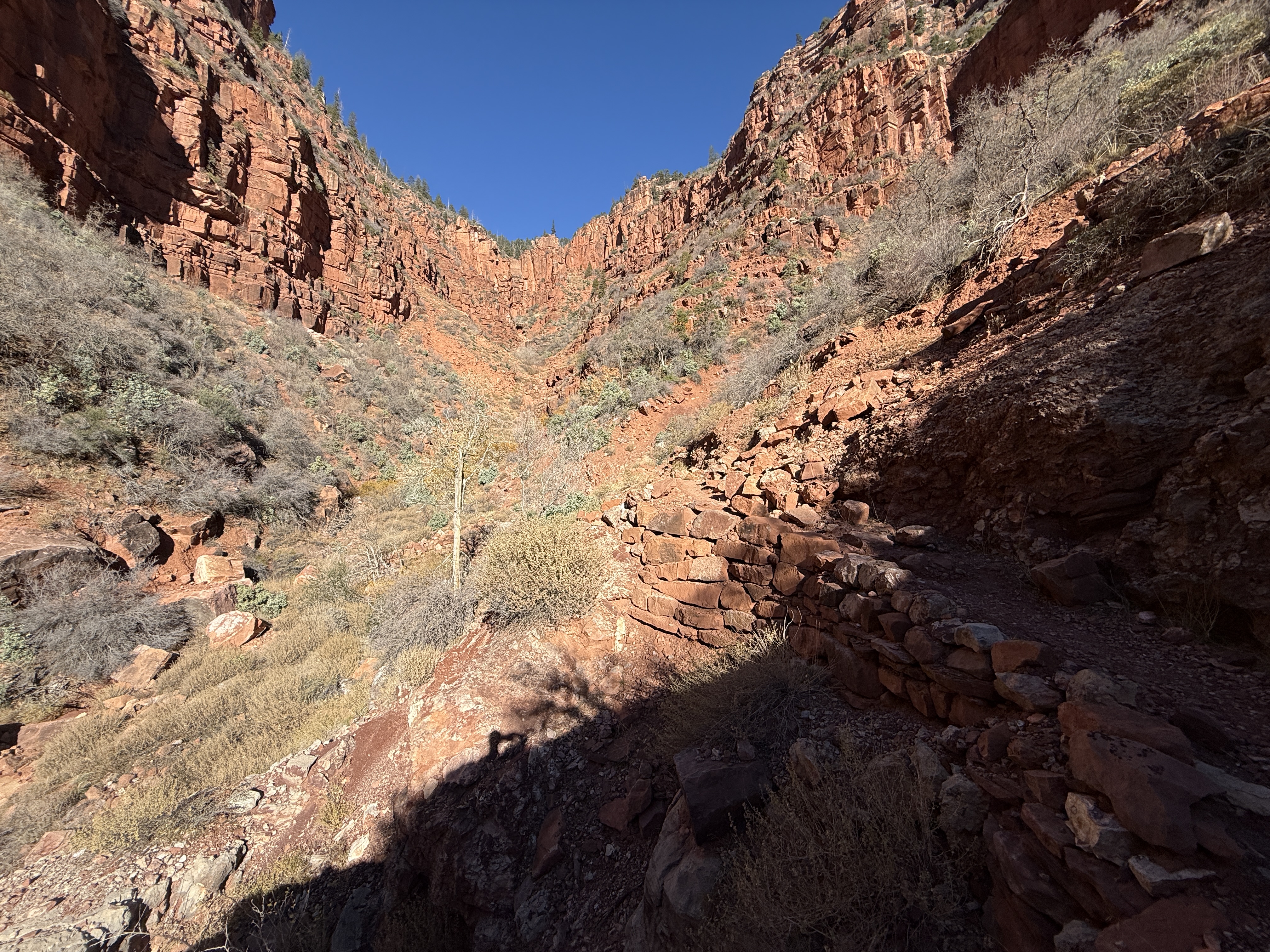
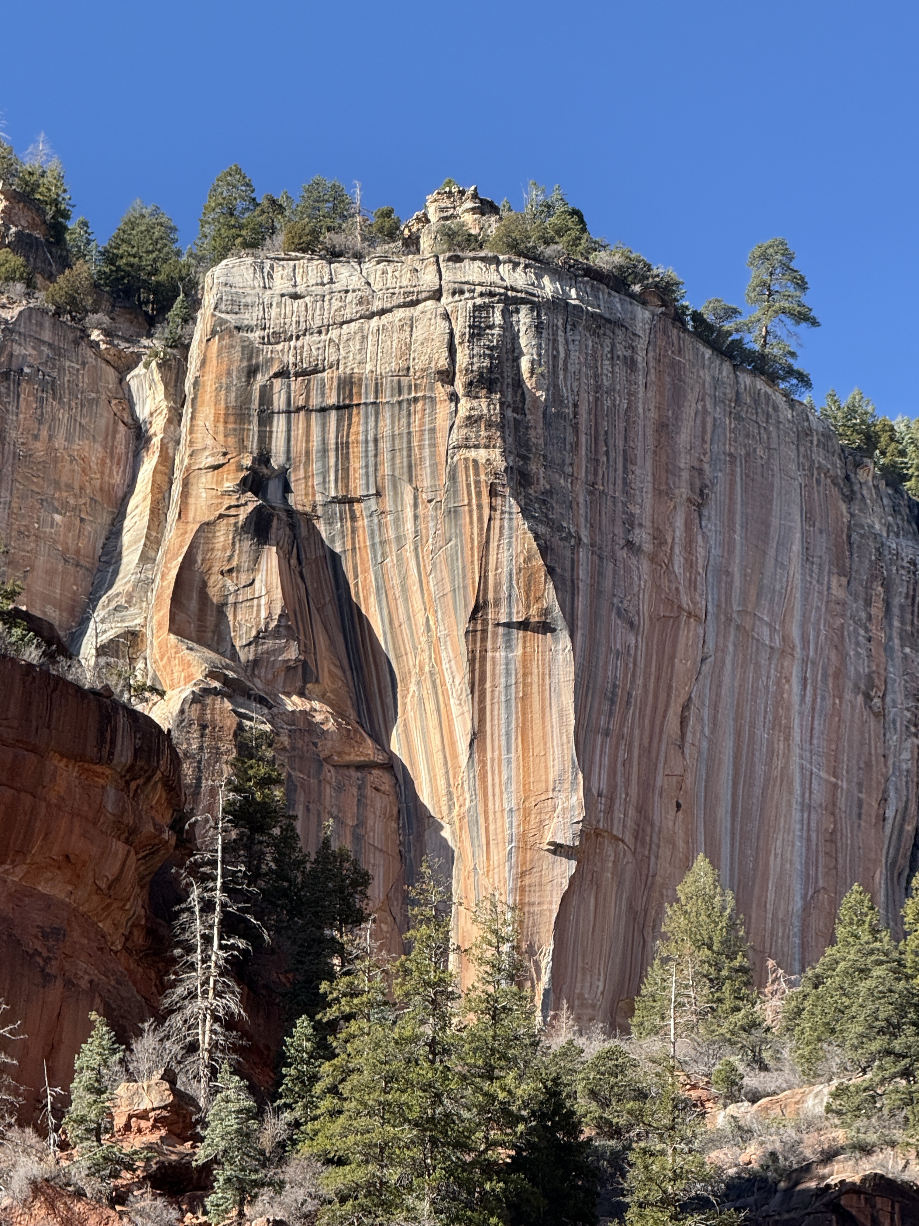
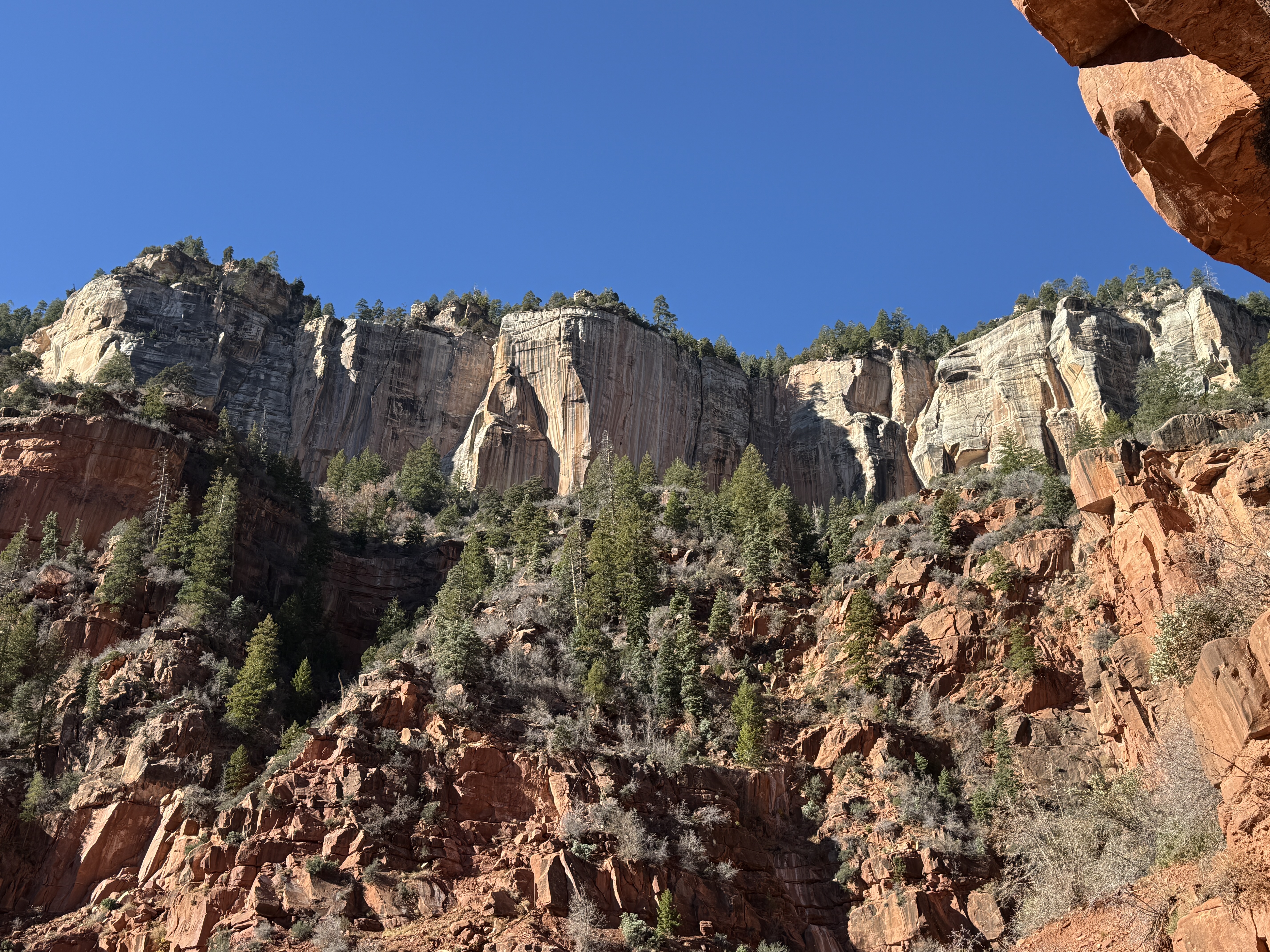
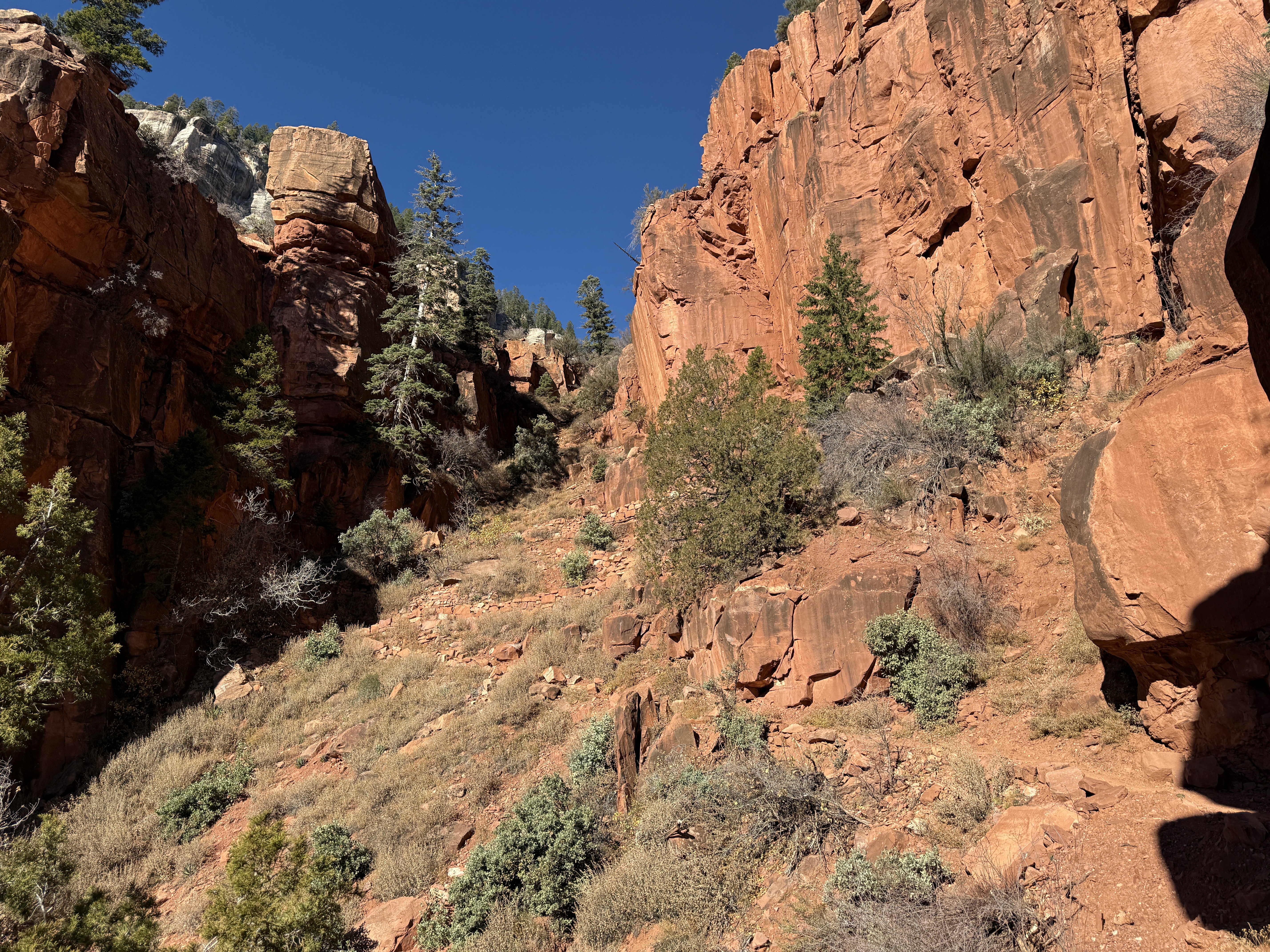
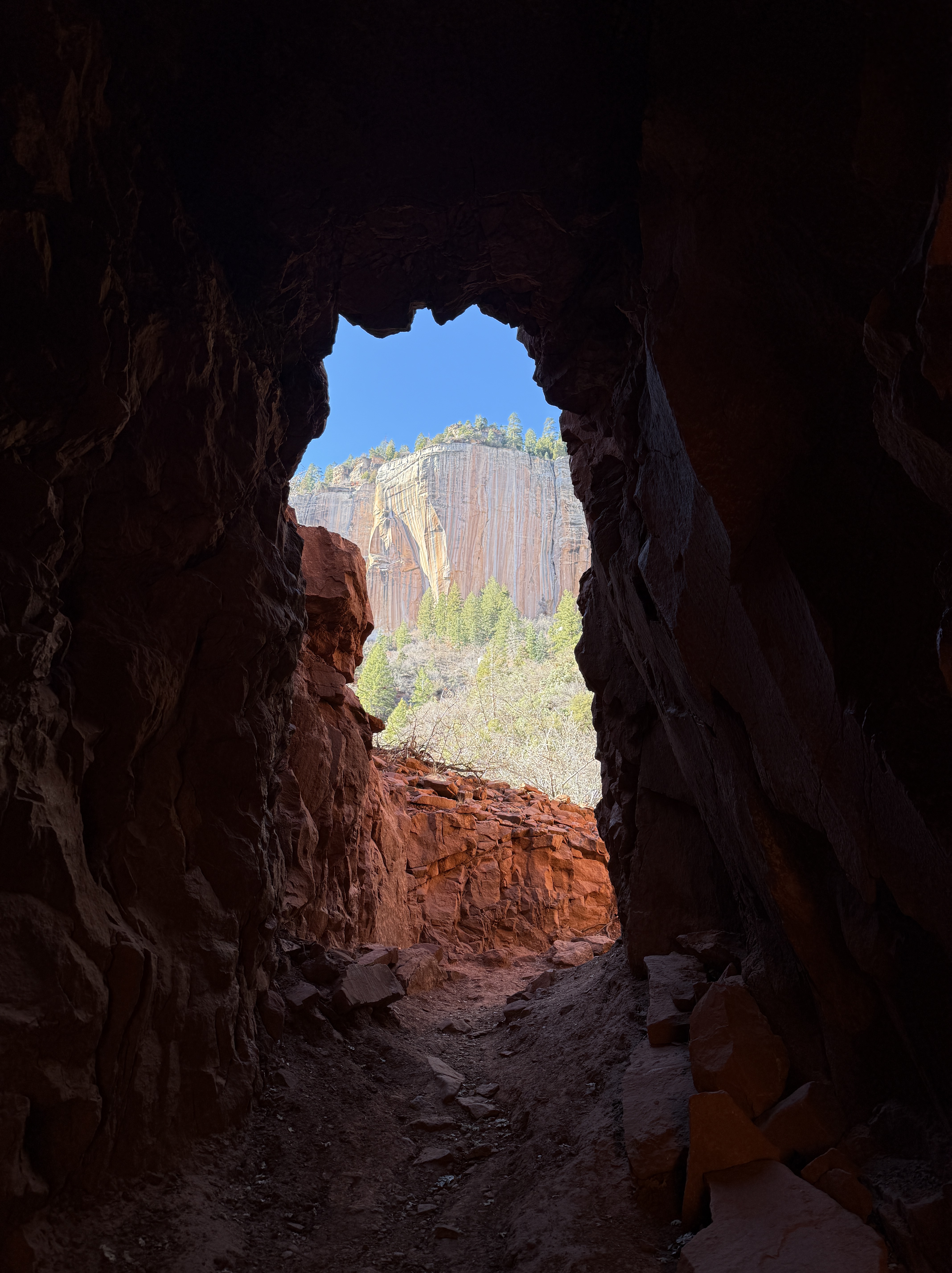
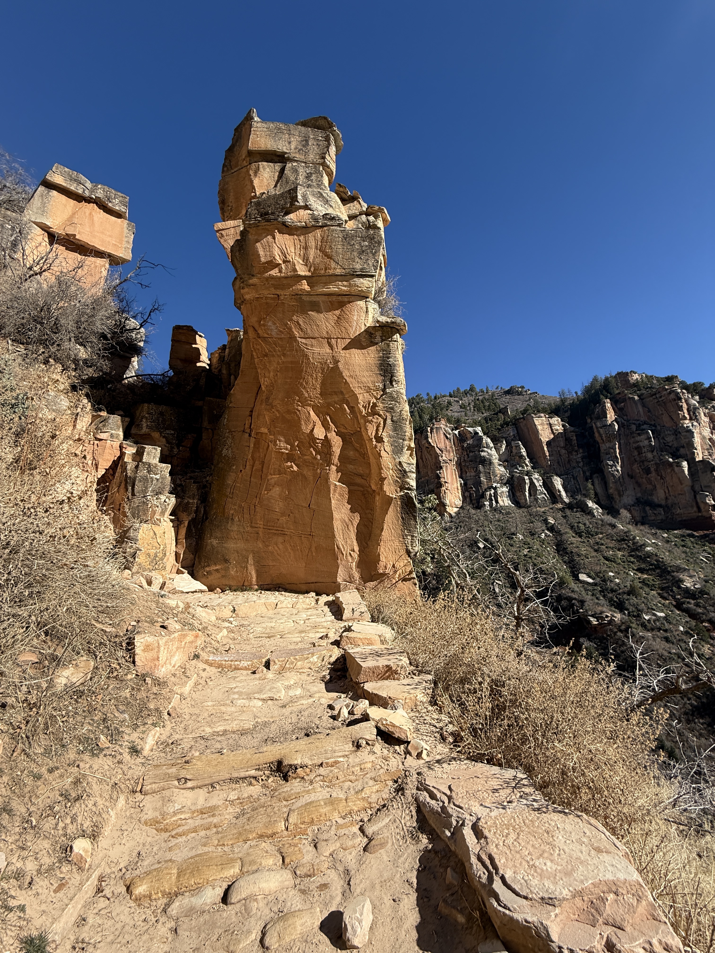
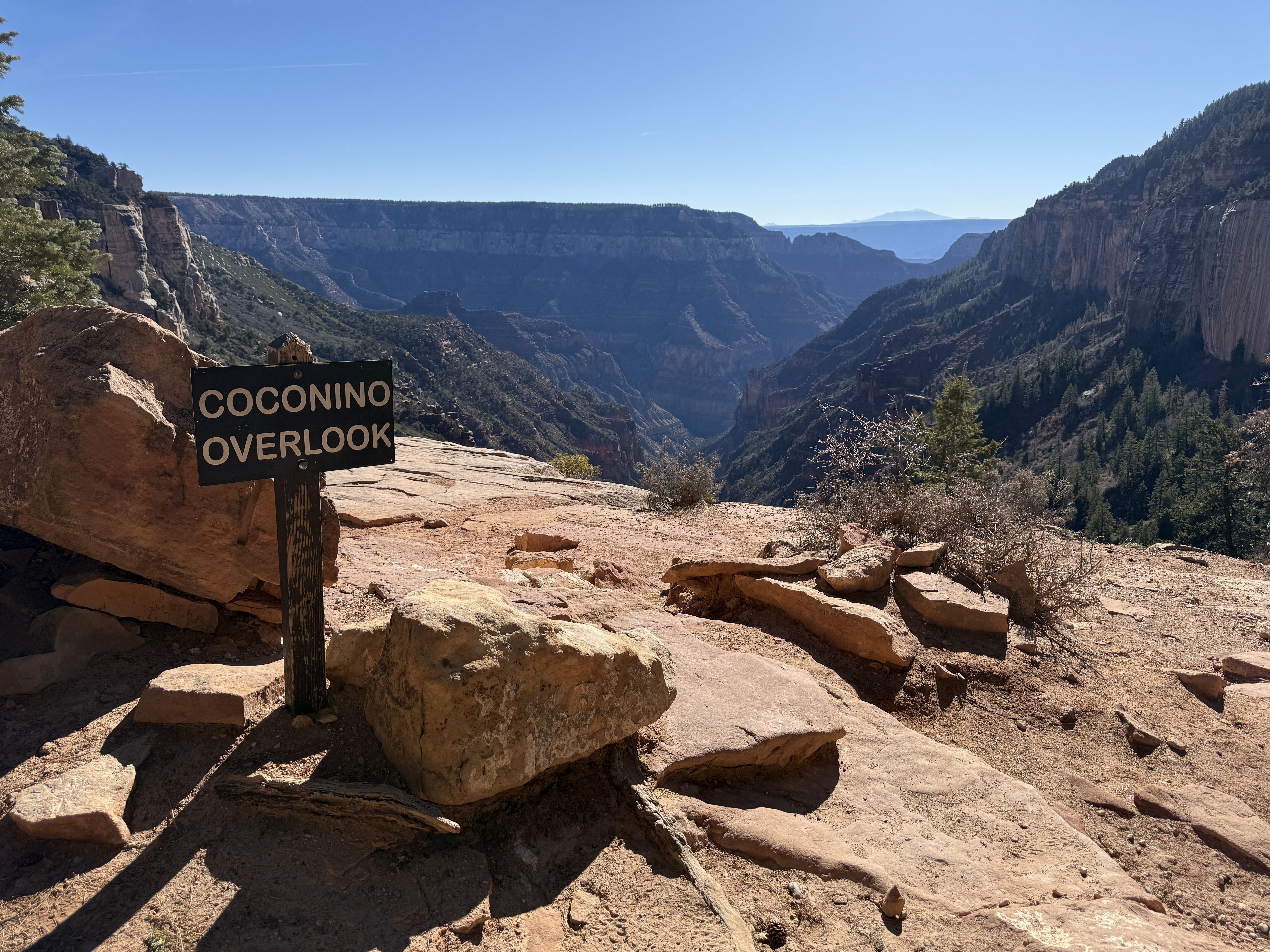
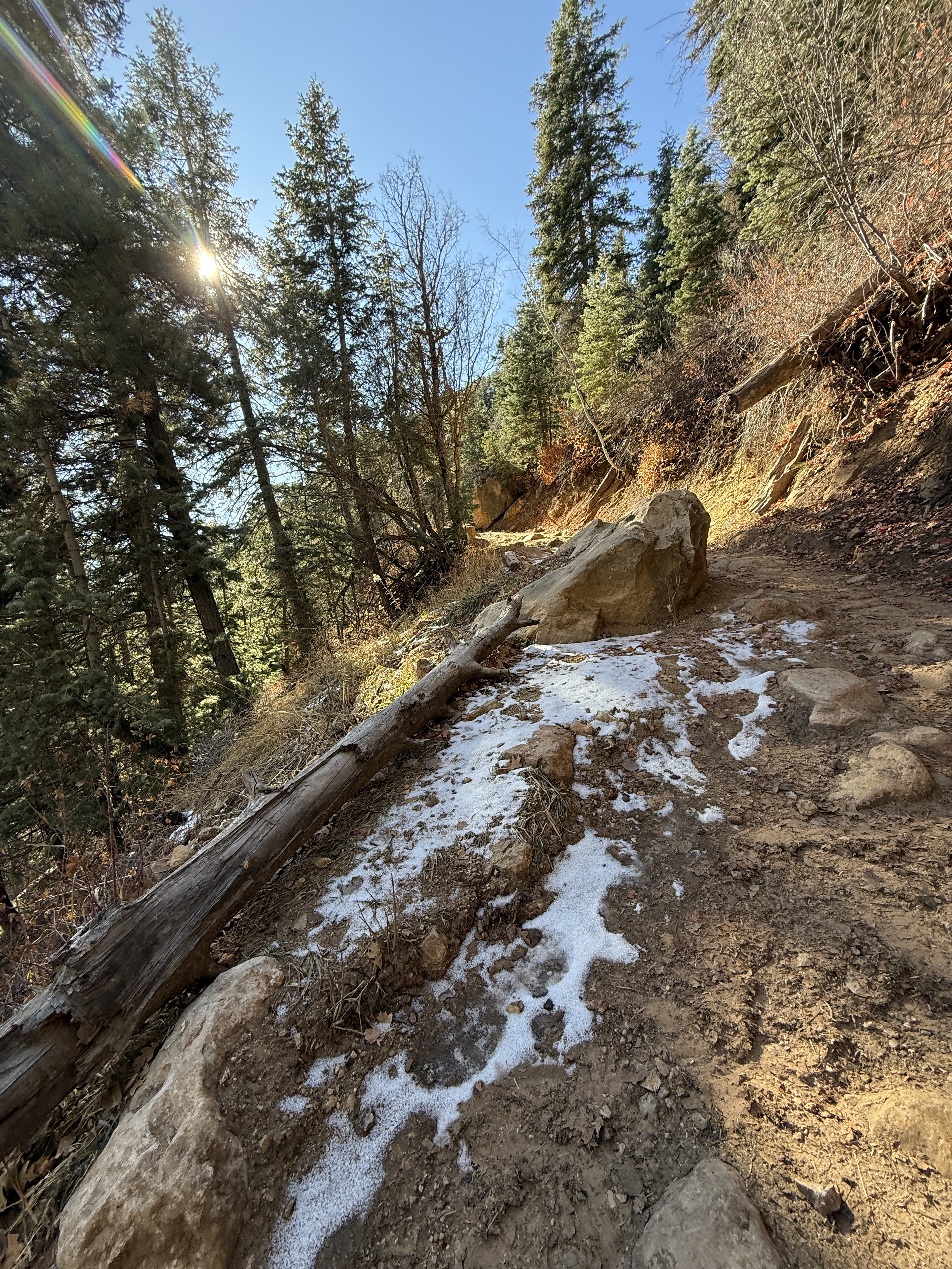
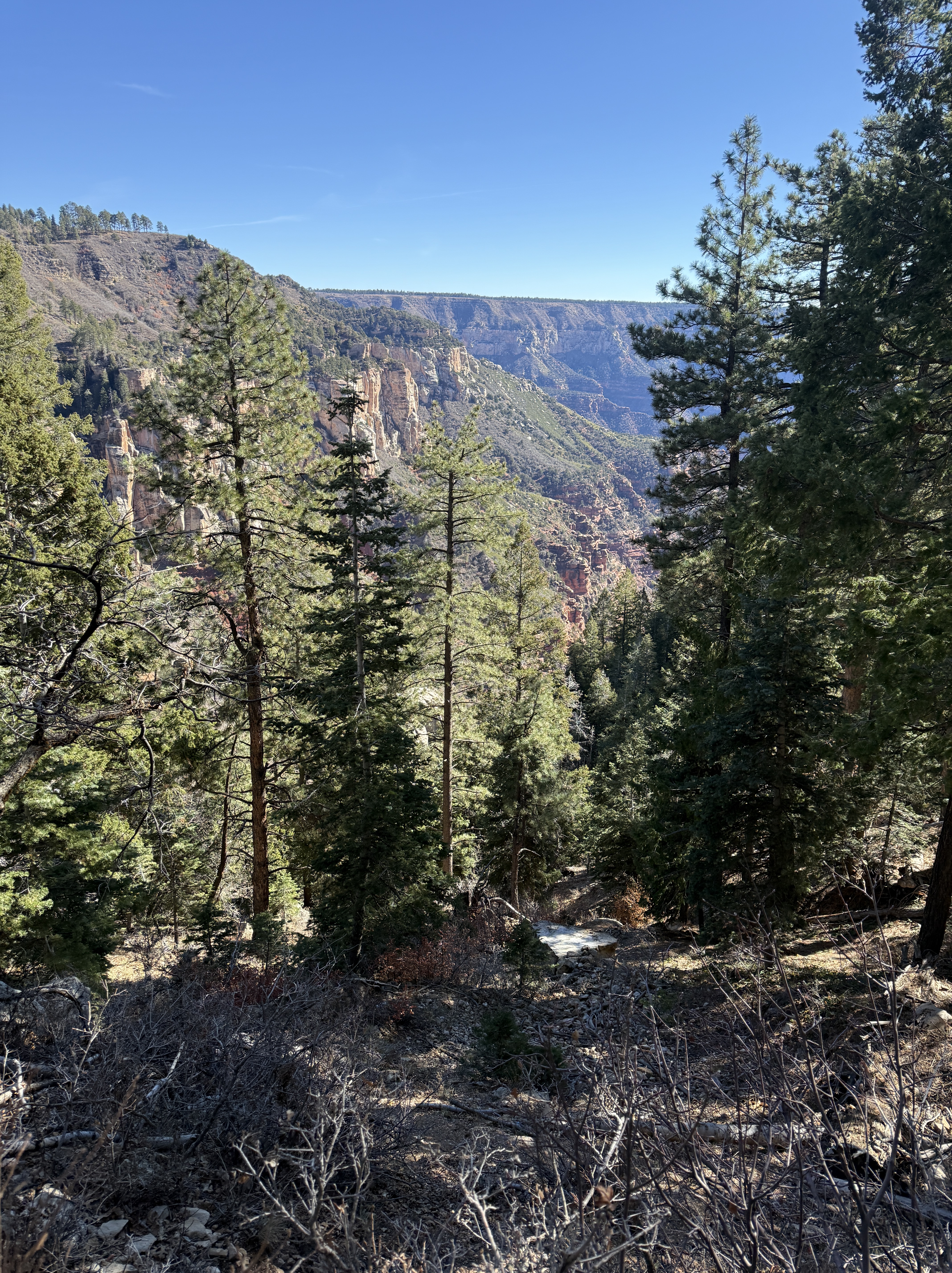
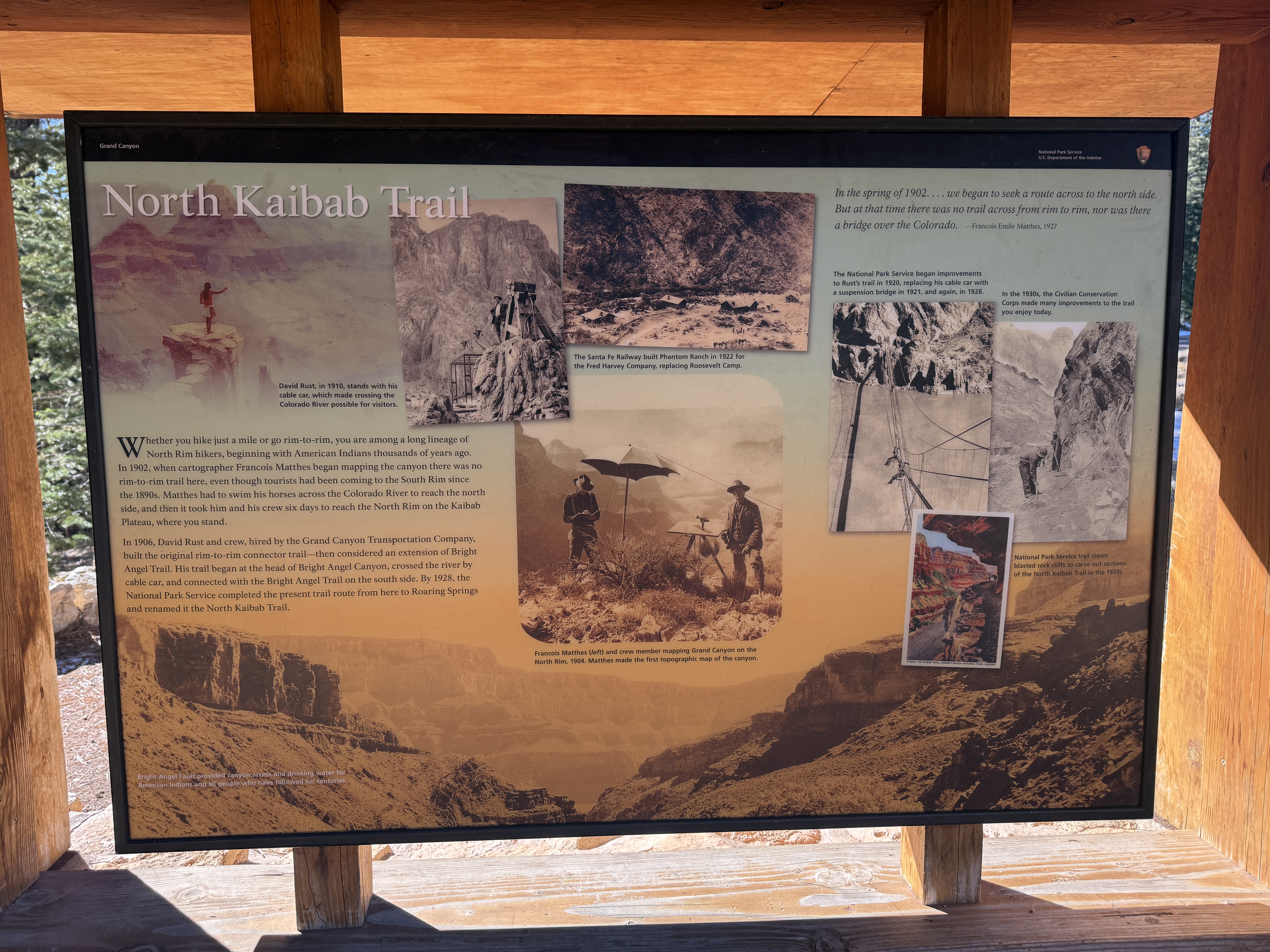
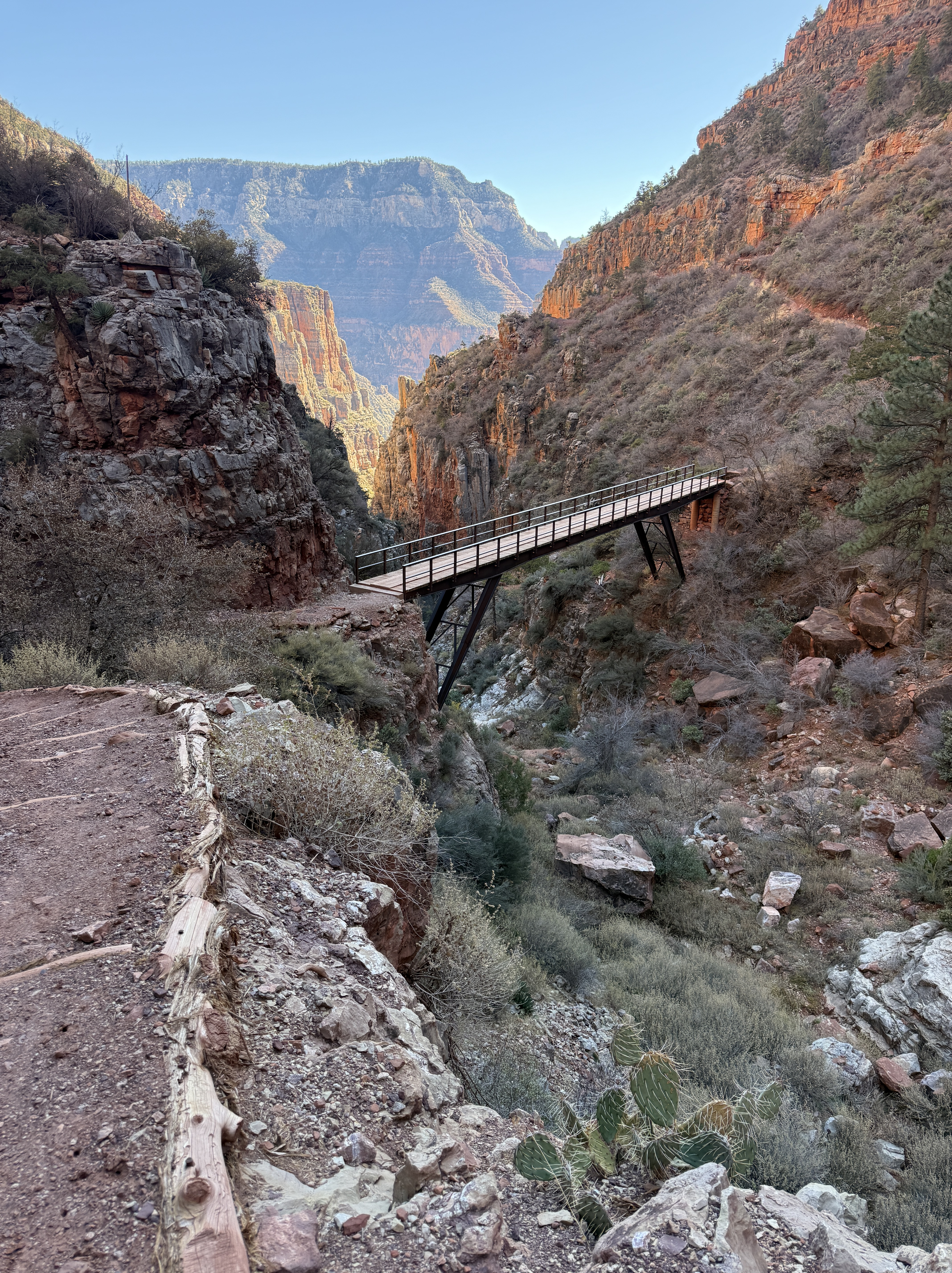
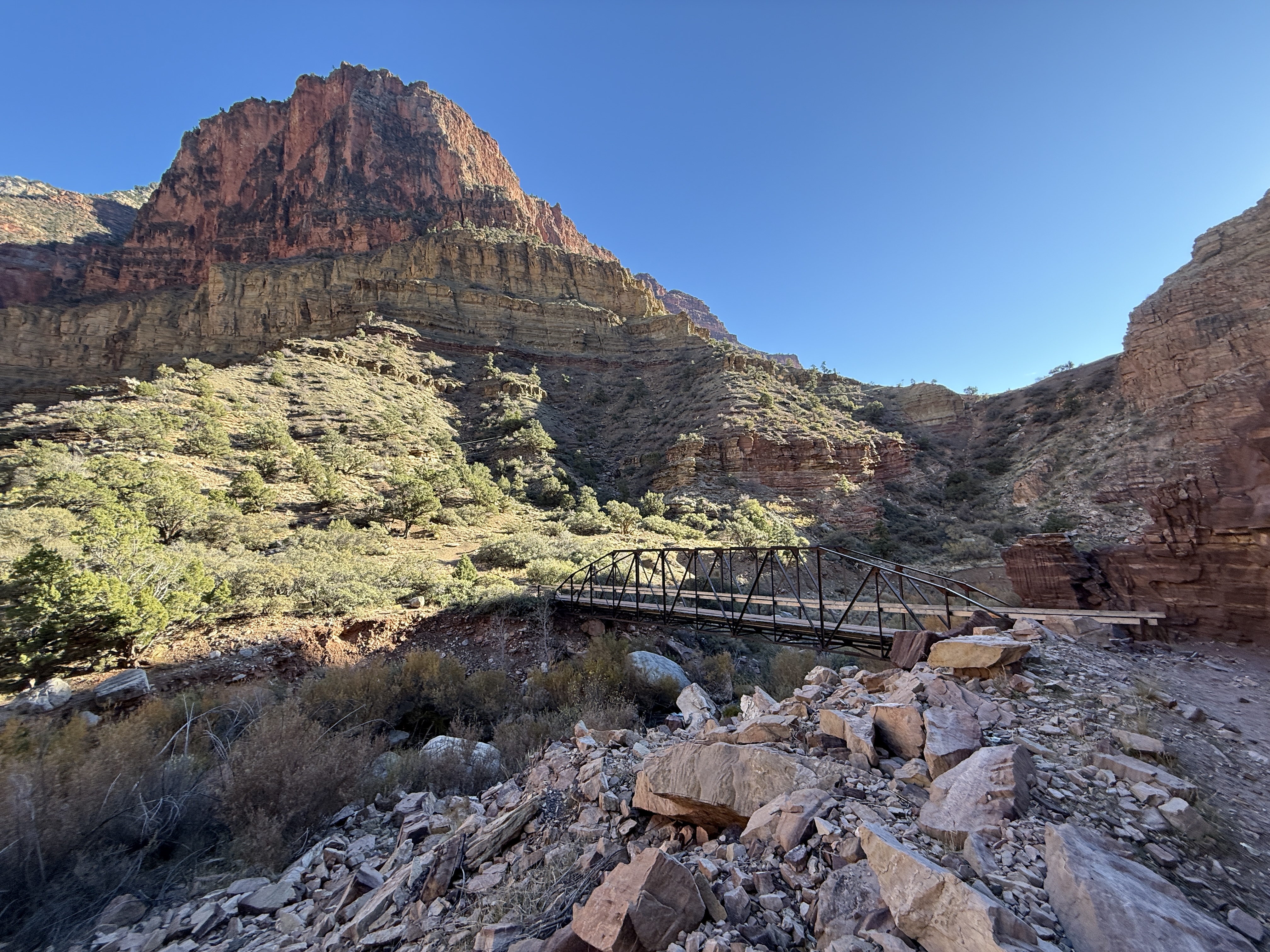
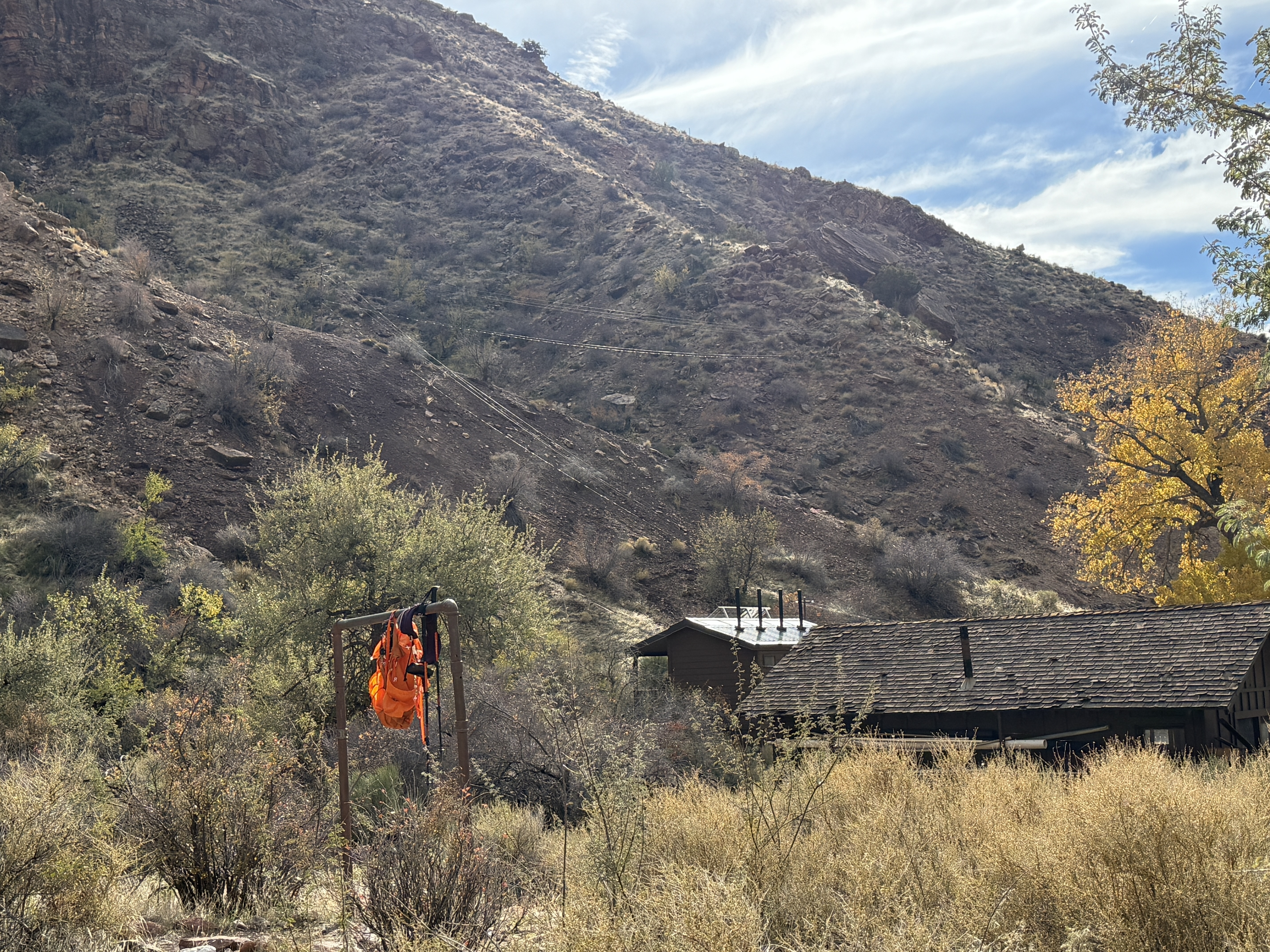
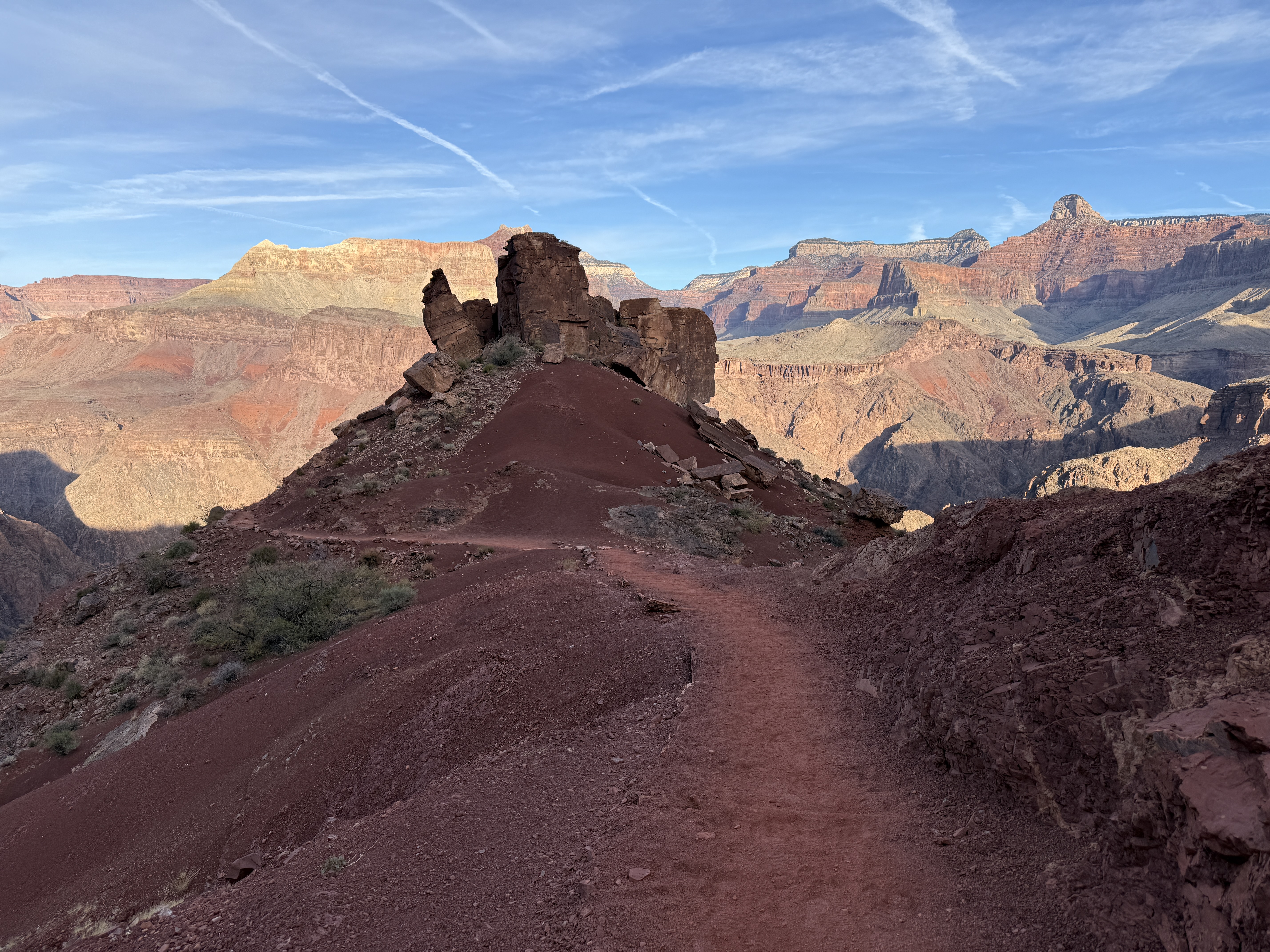
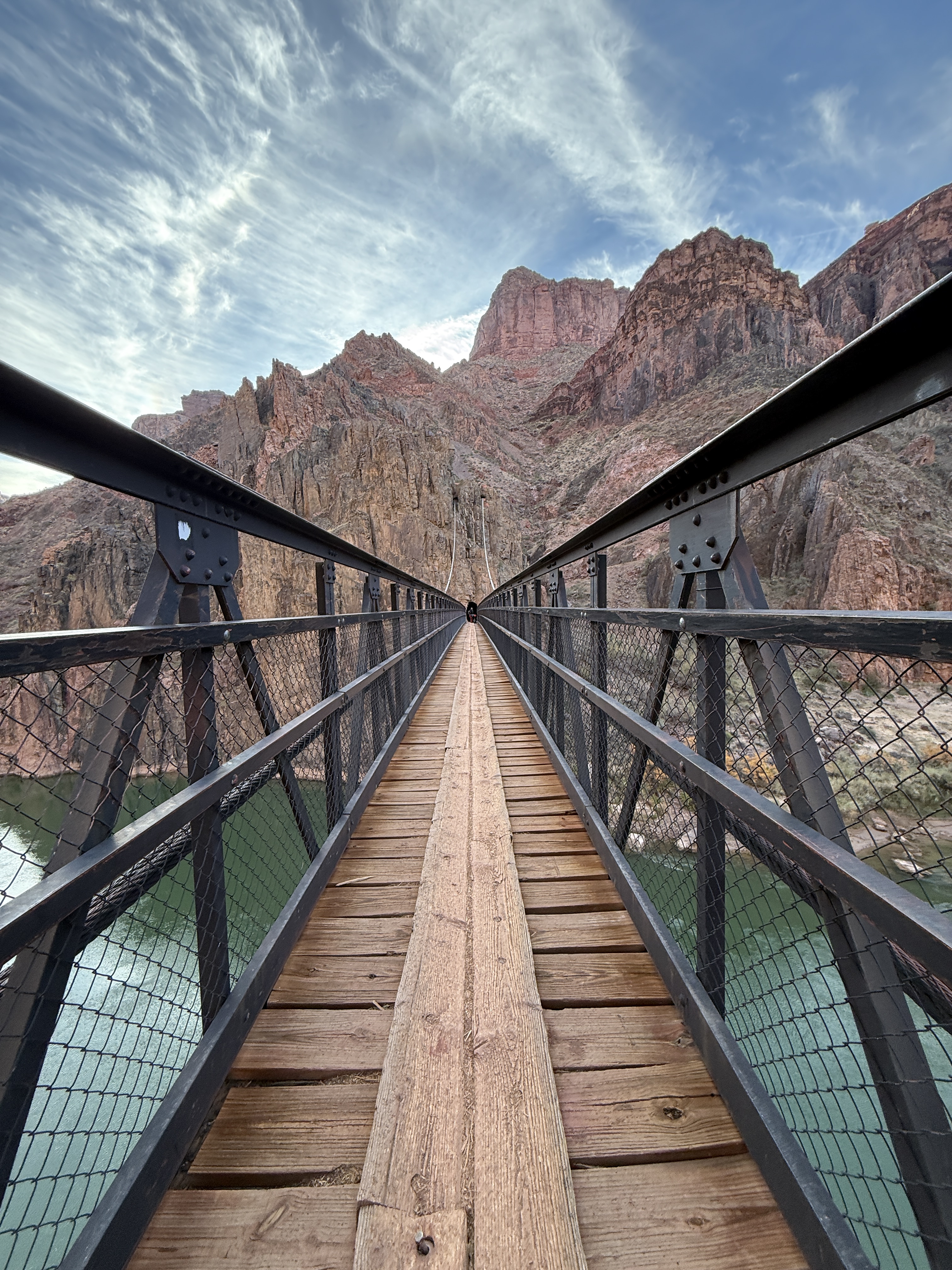
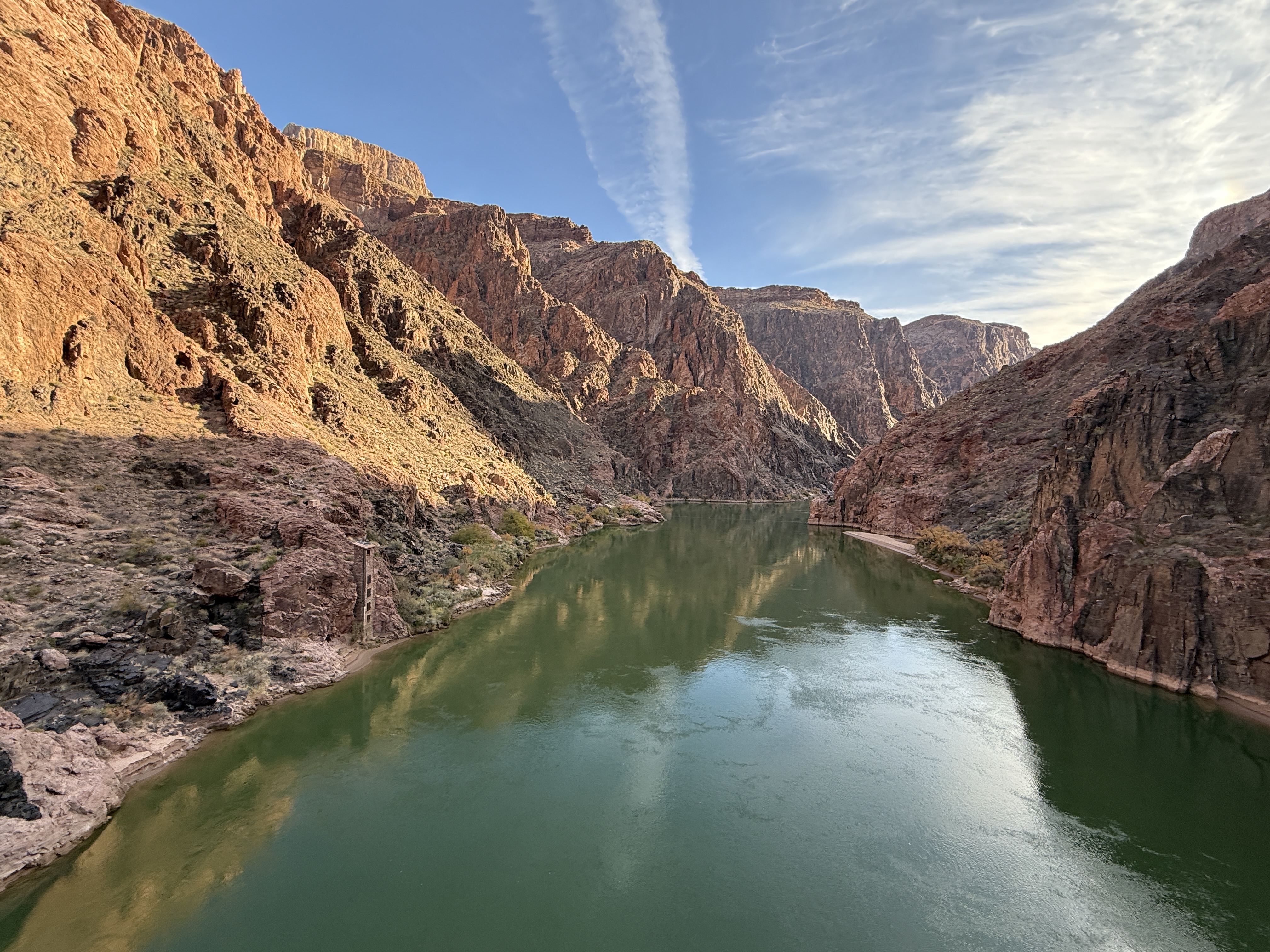
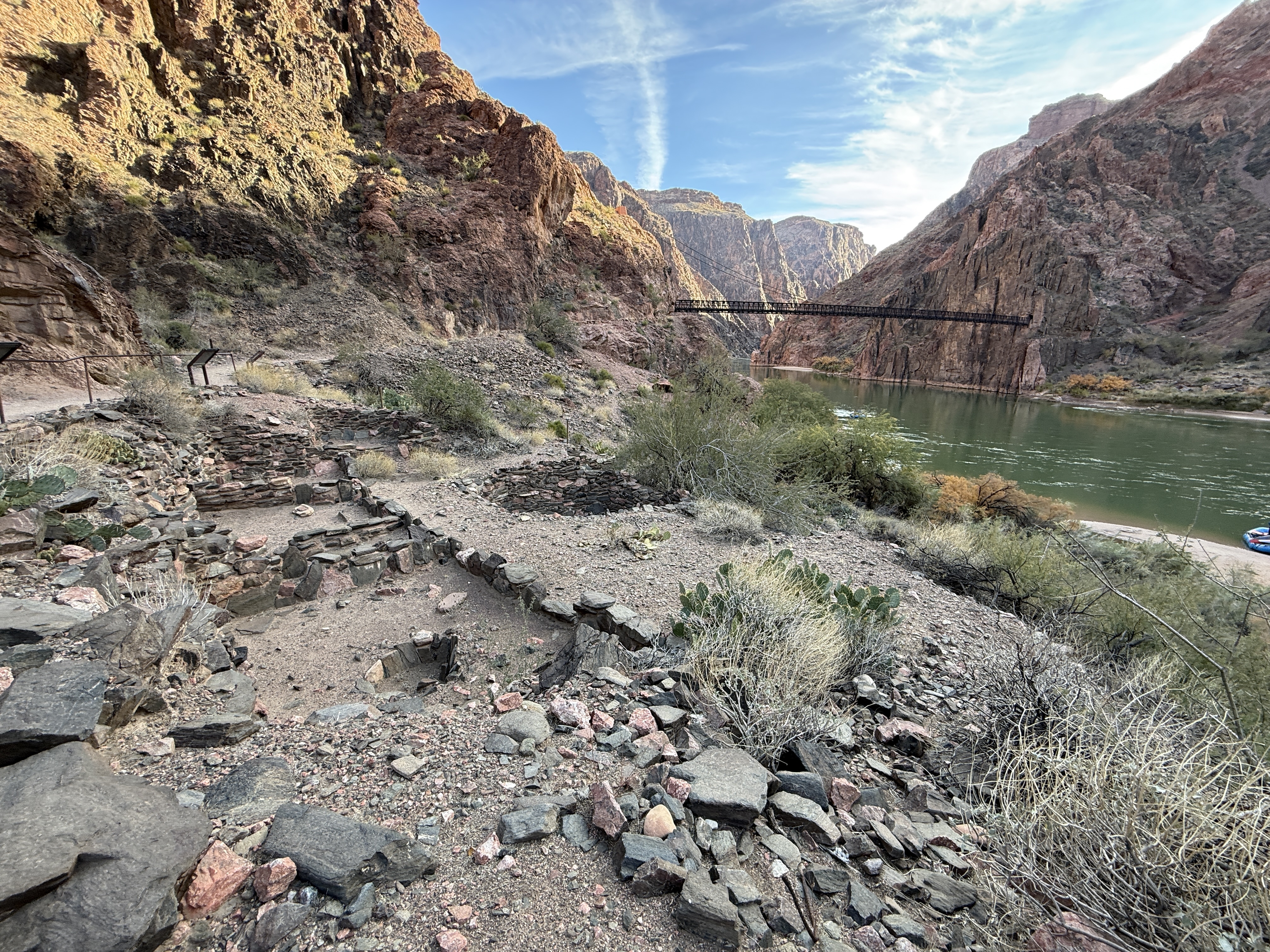
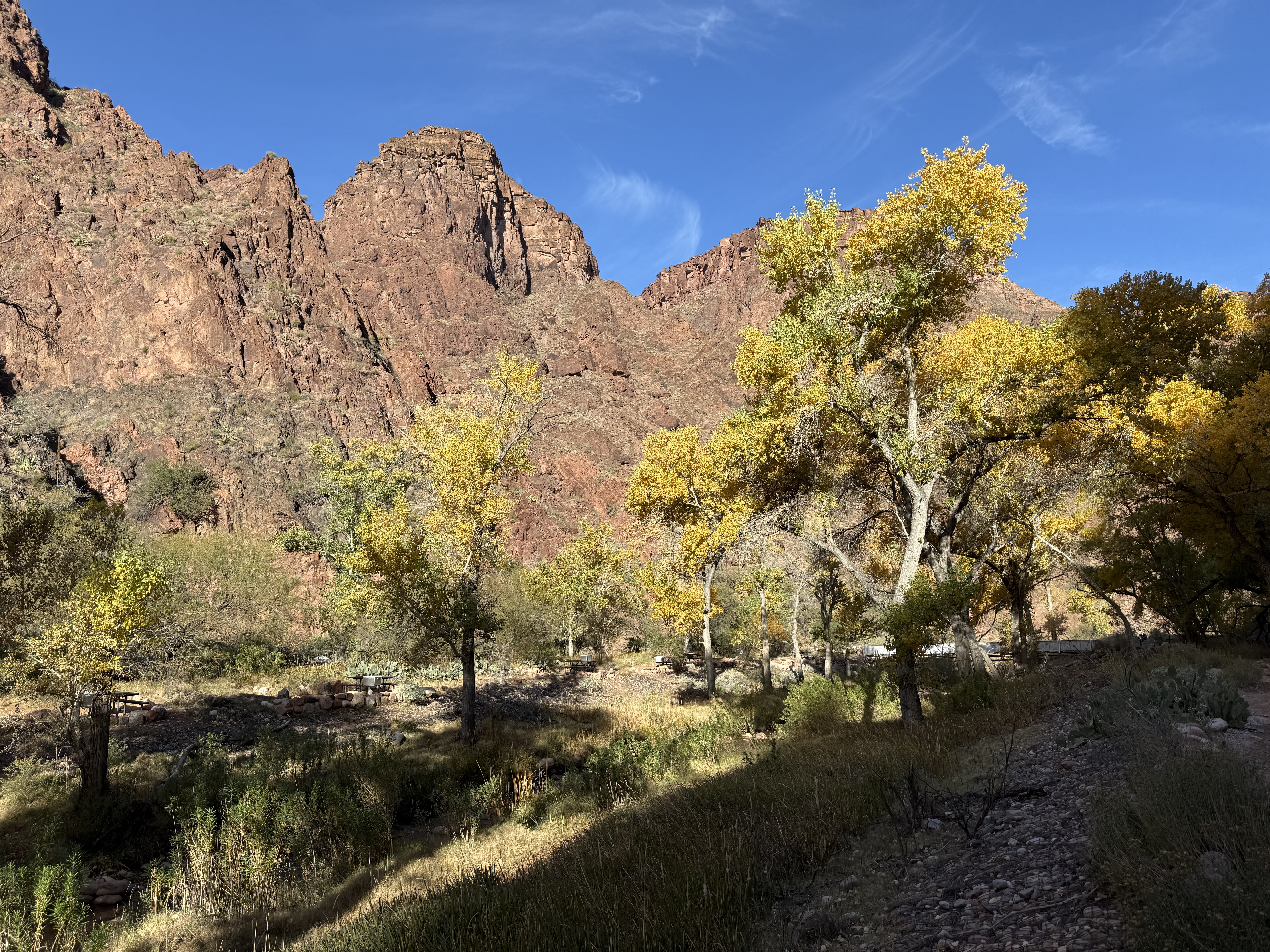
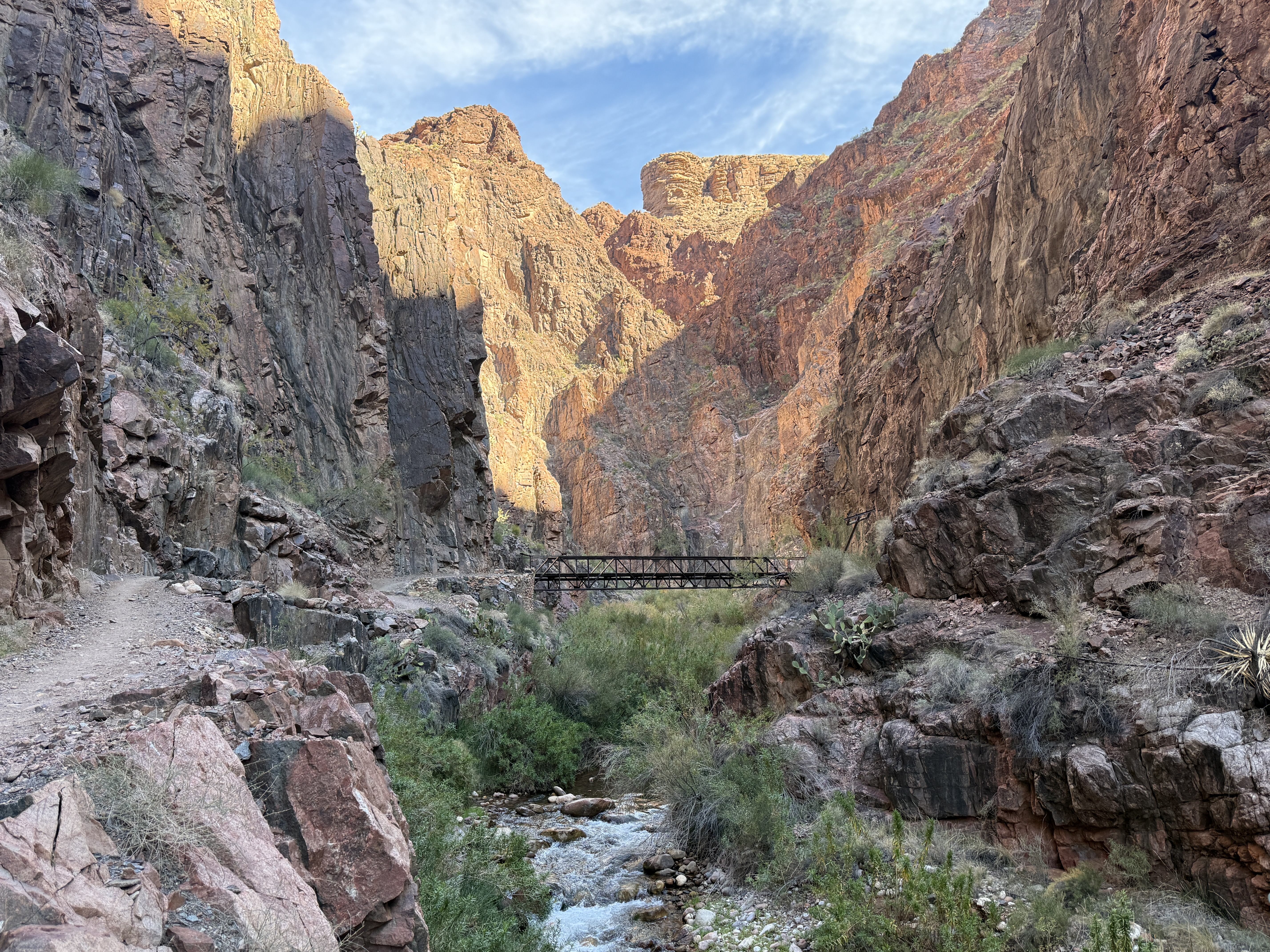
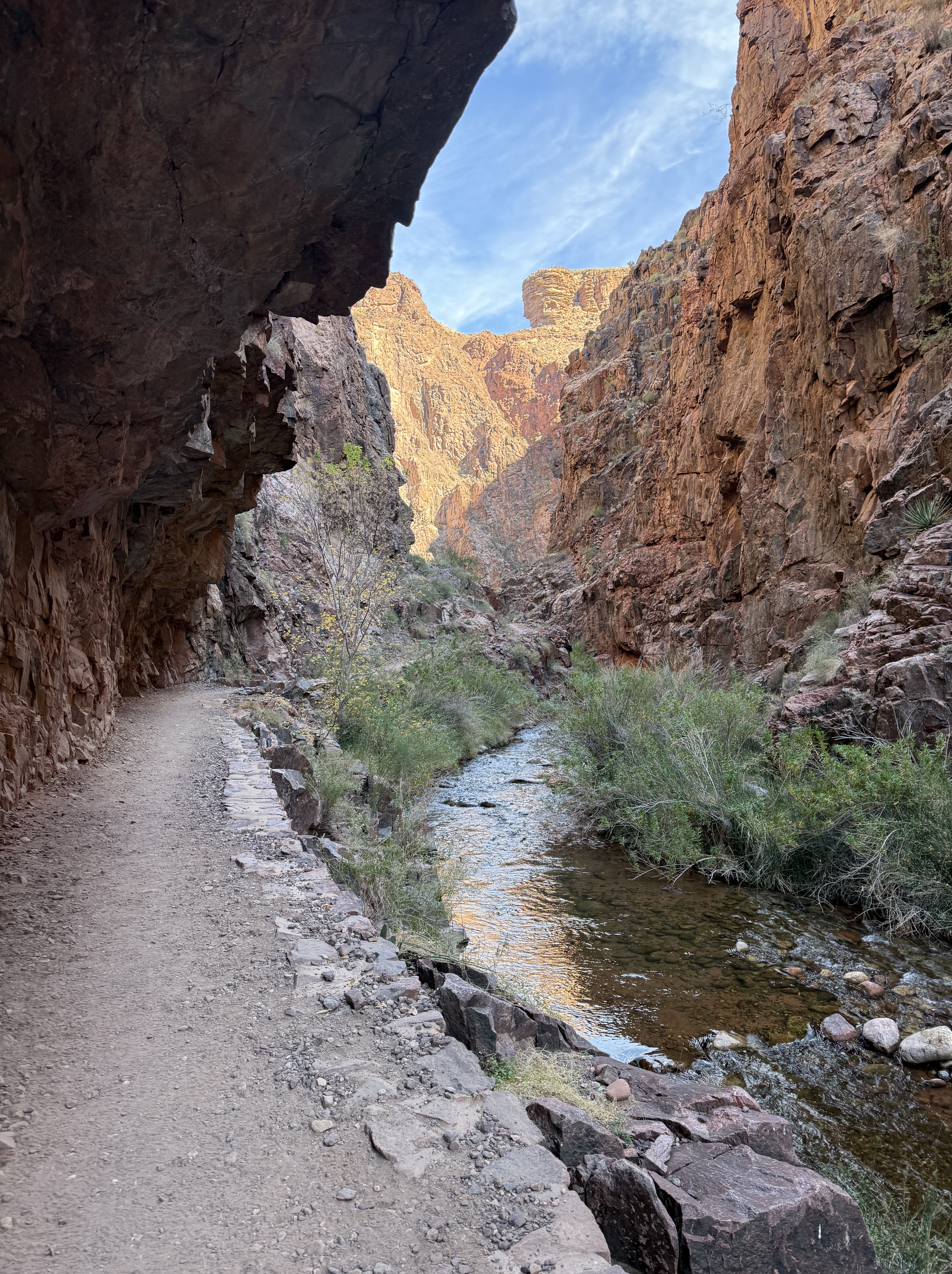
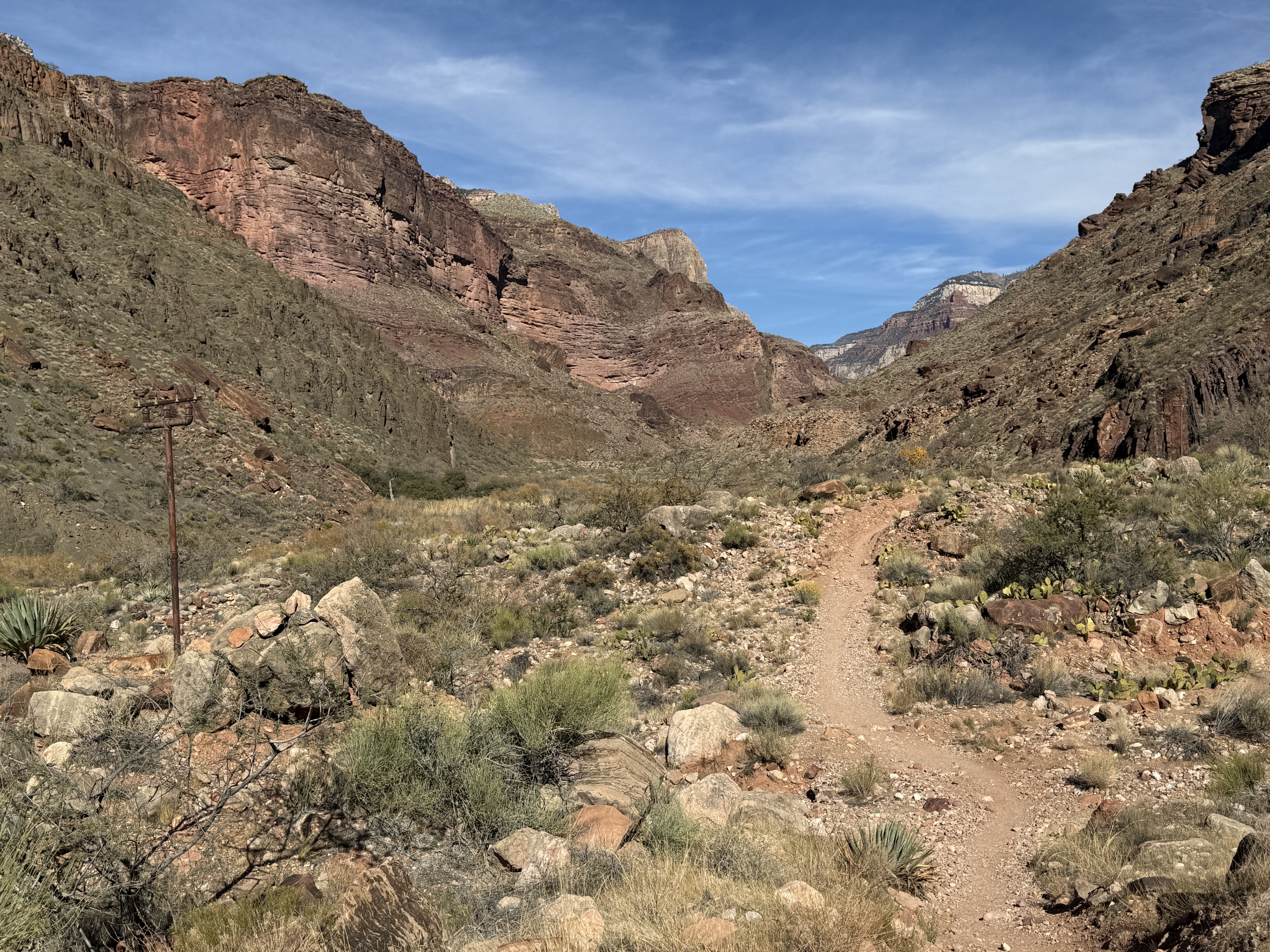
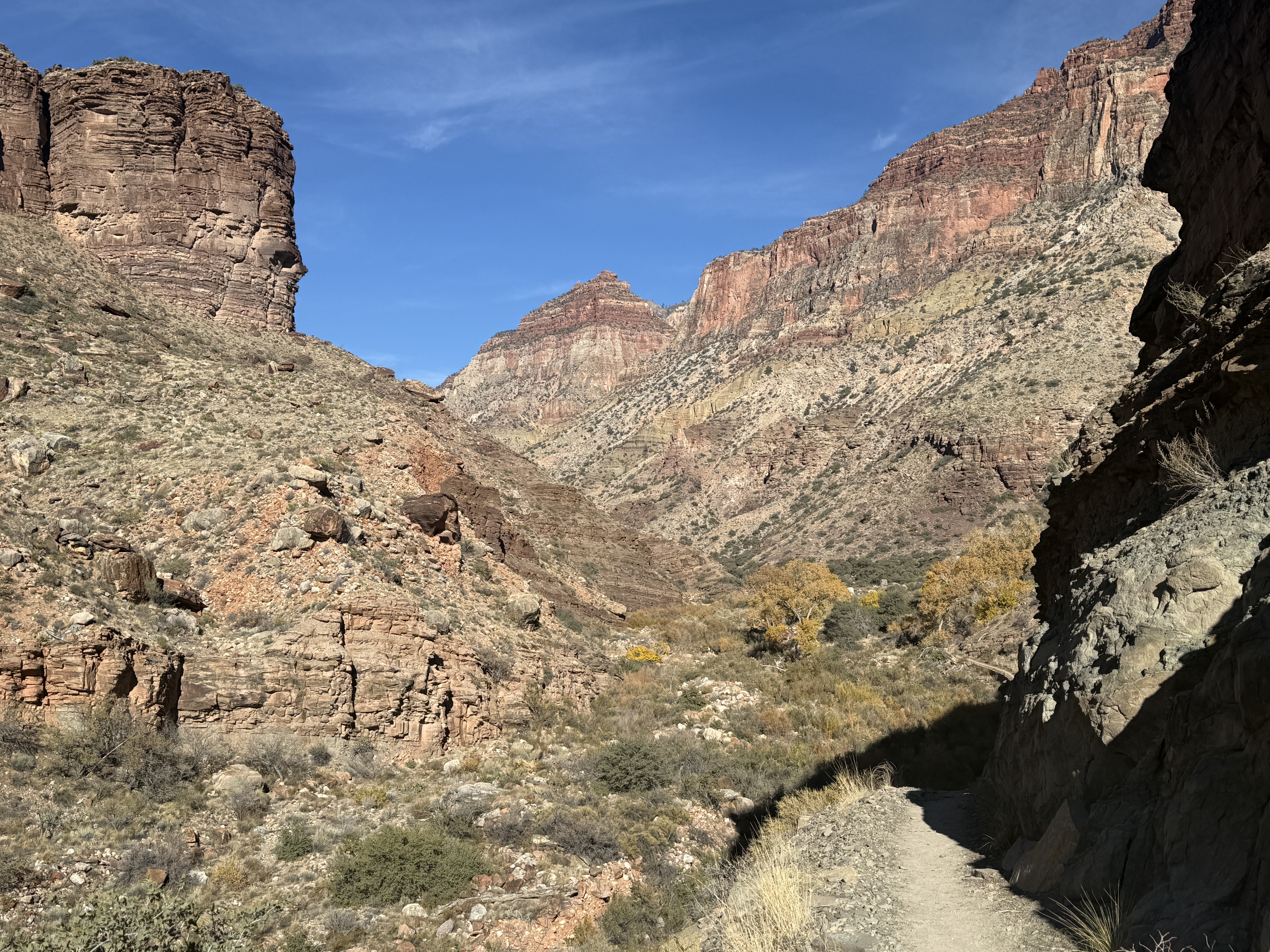
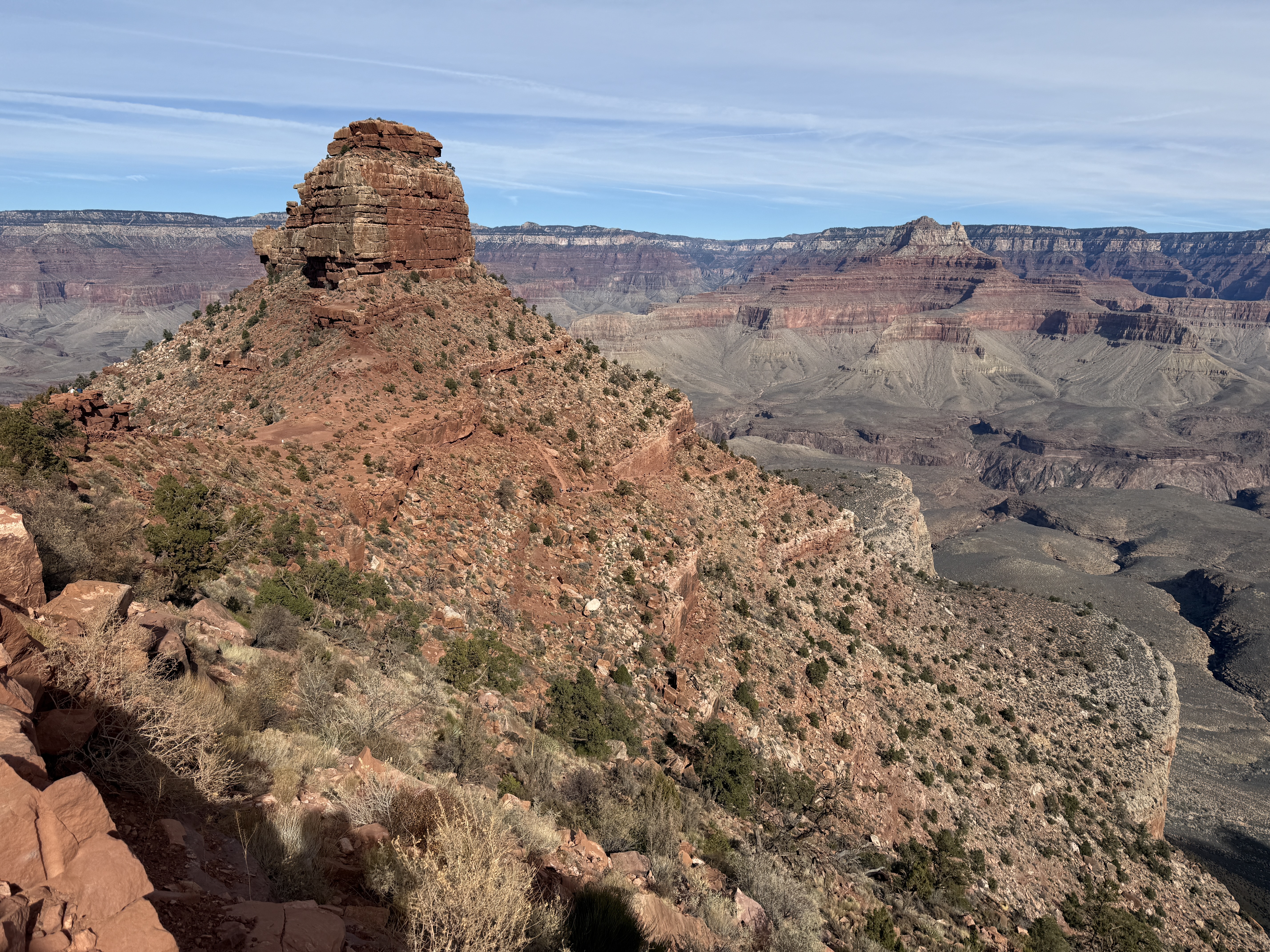
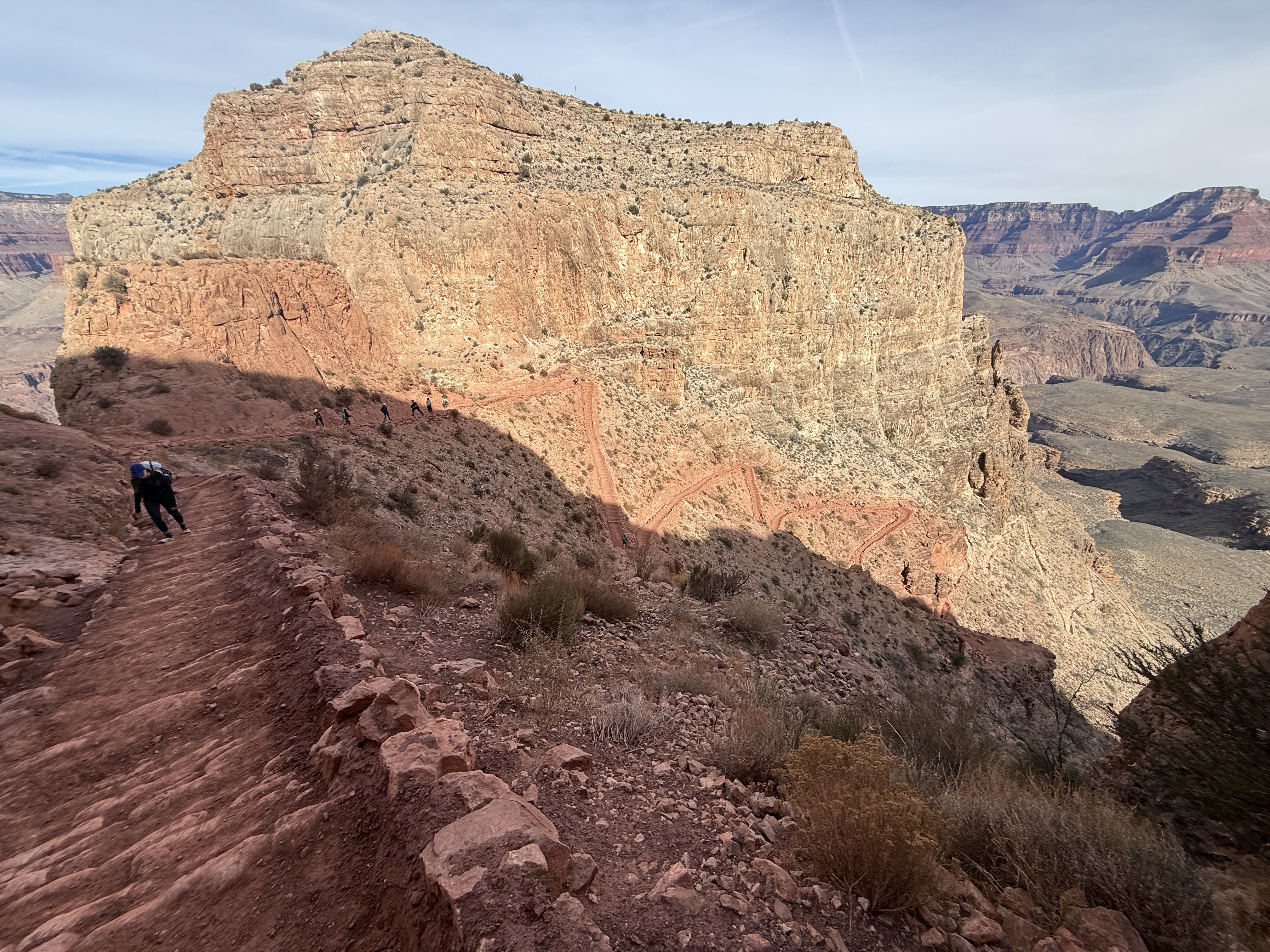
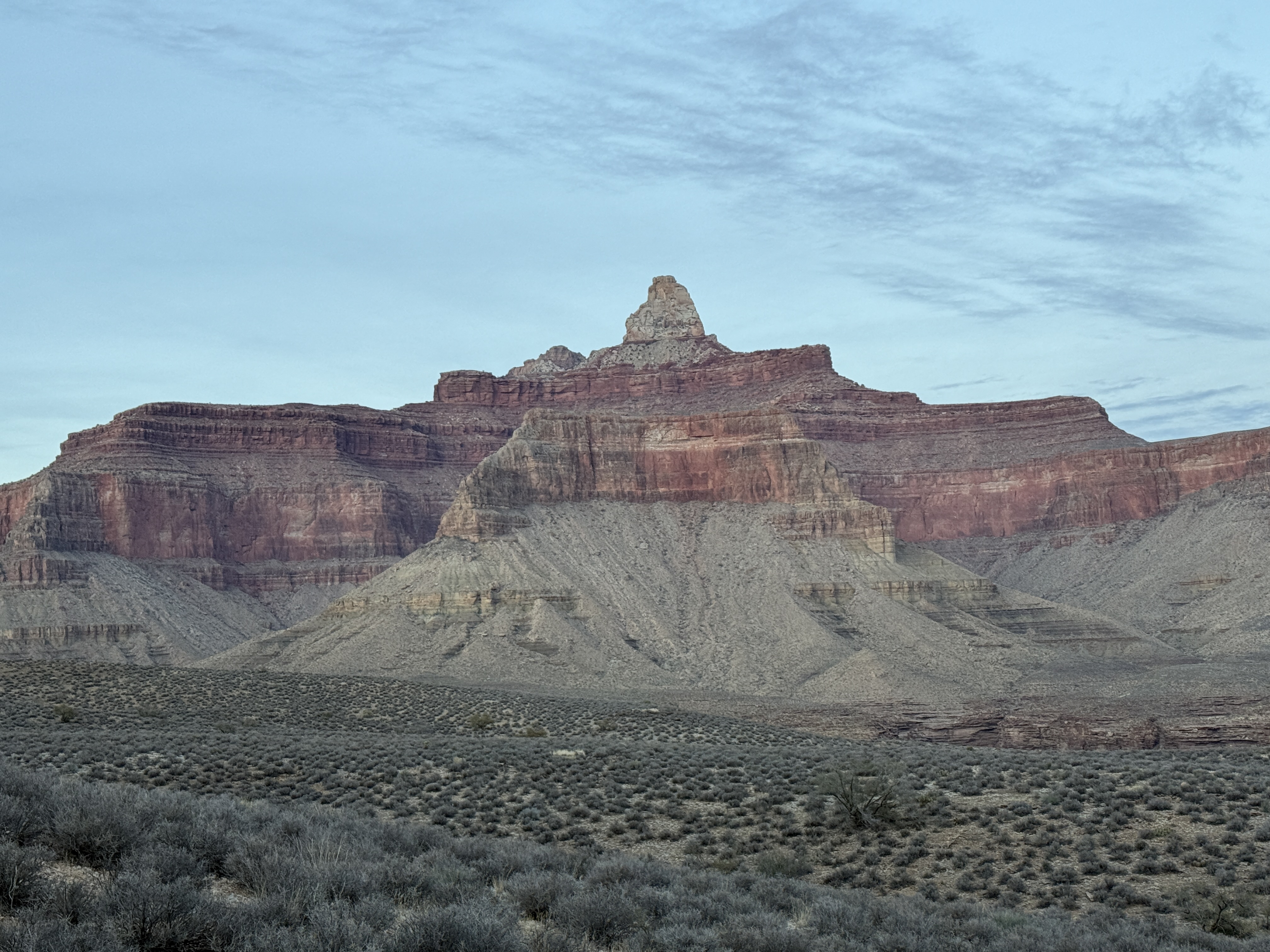
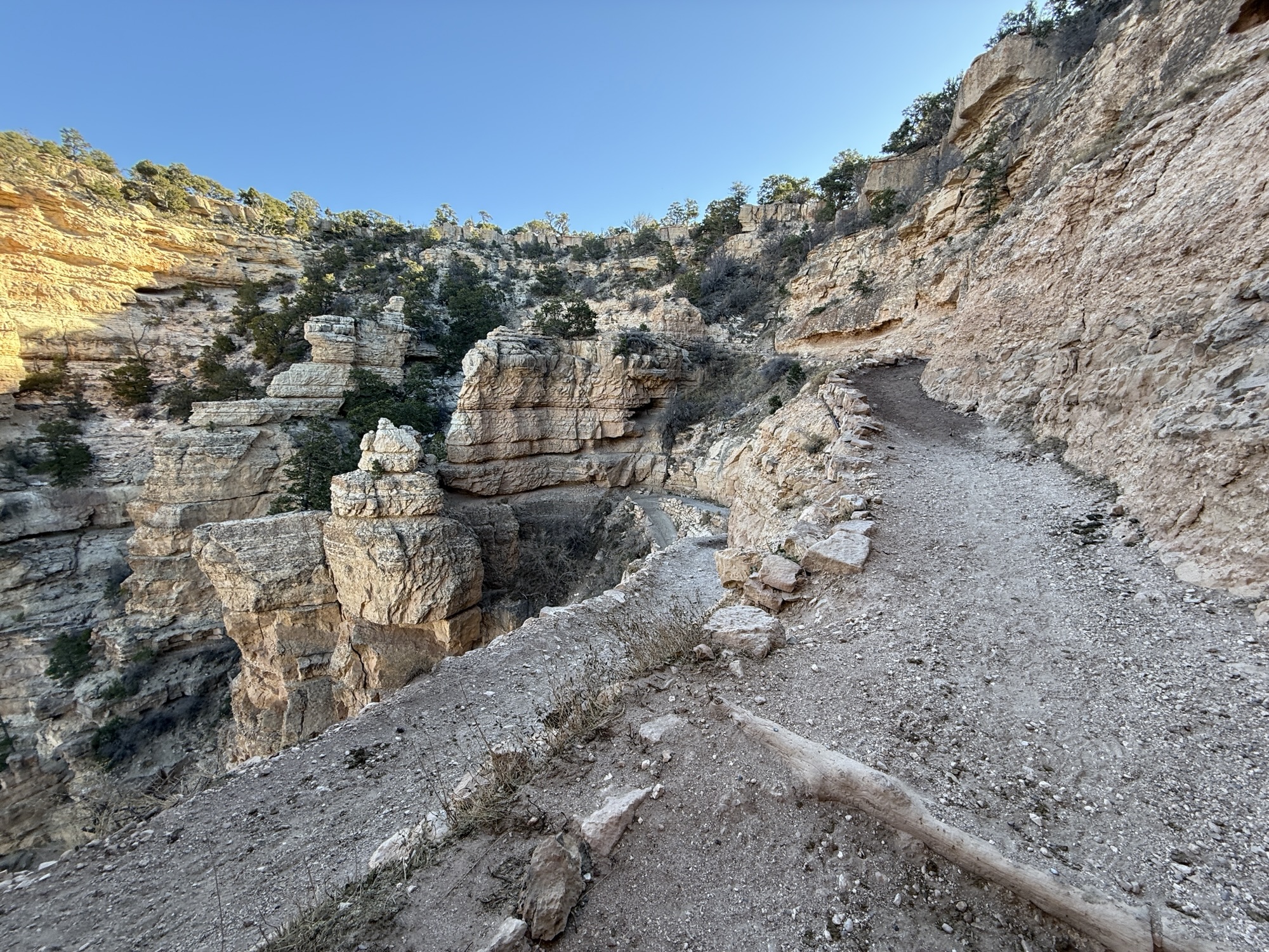
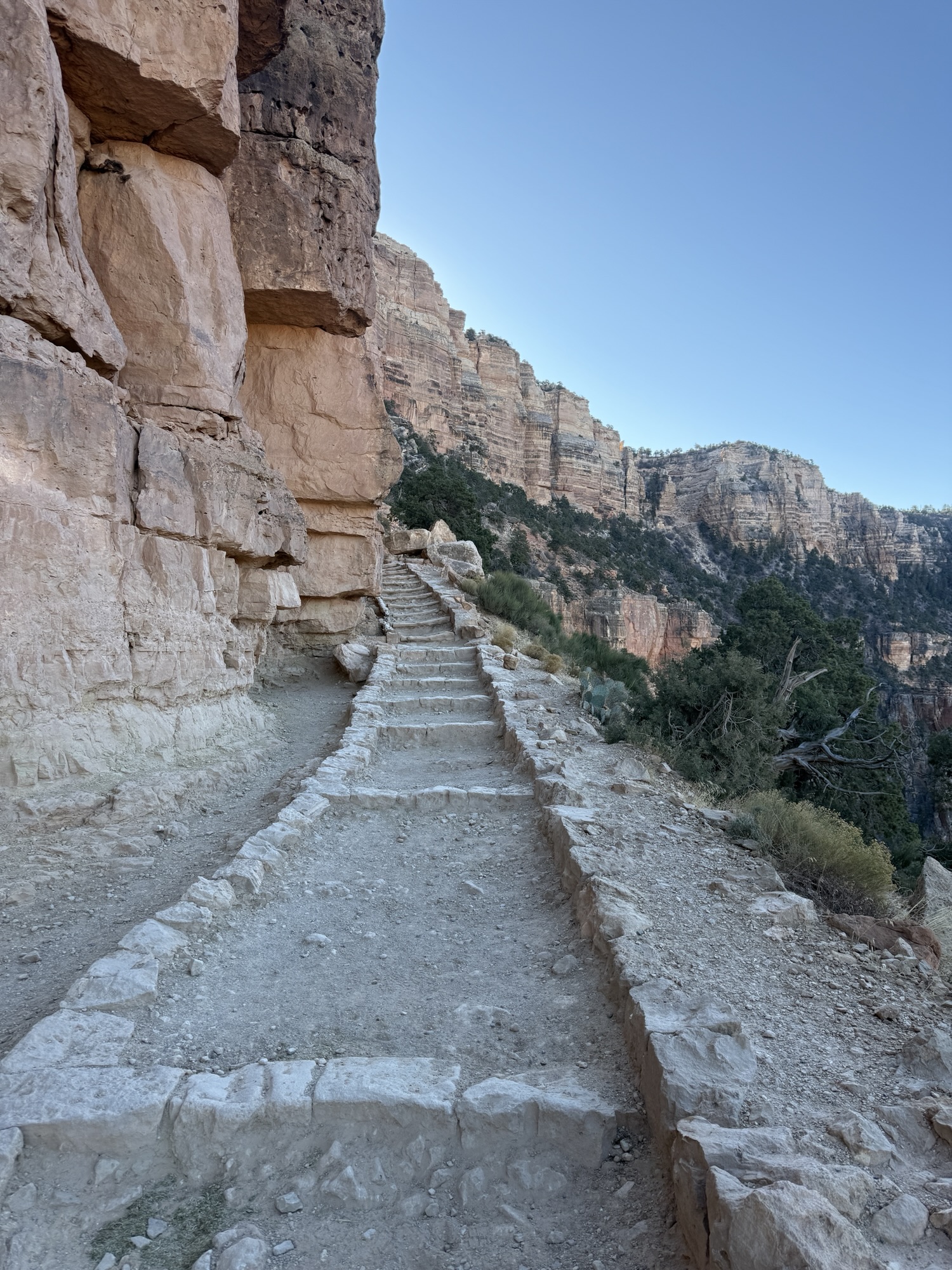
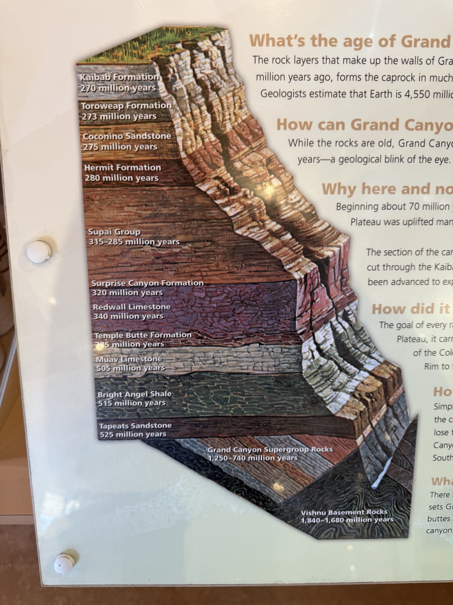
Although the sun was up, it was still in the 50s, perfect temperature for walking up the last 2000′ to the rim. Three or so miles to go. I had wished it was 30. Ascending up past Skeleton Point, I eventually ran into the first day hikers around Cedar Point. I looked down into Cremation with a familiarity of this space… a far cry from when I first entered The Canyon with no concept of what was where or what to expect. Now I could identify the Tonto Trail and Cremation; Way in the distance I could see the canyon where I had traveled through The Box and along Bright Angel Creek. I could see where the North Kaibab Trail curves up to the northwest, past Roaring Springs, I could see the Kaibab sandstone sitting atop the many rock layers below.
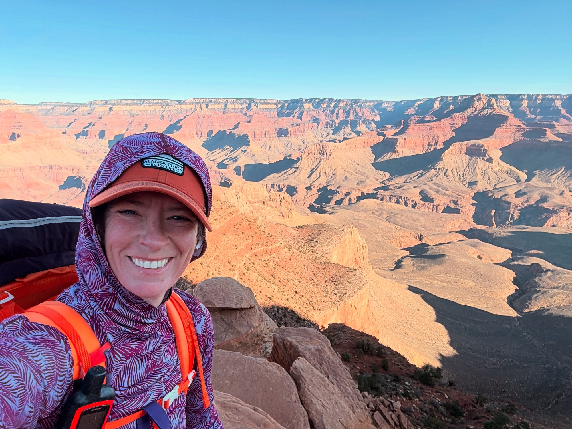


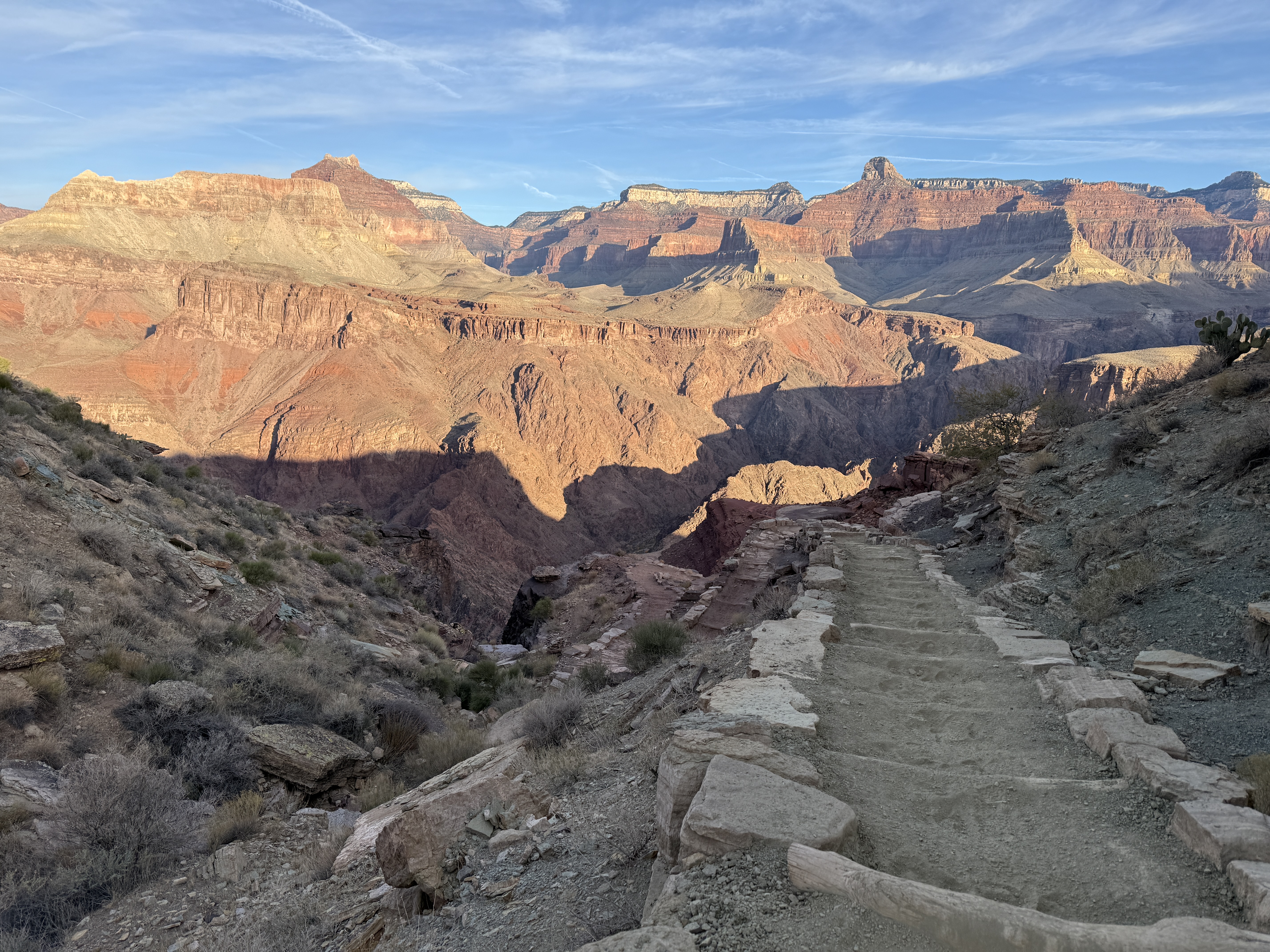
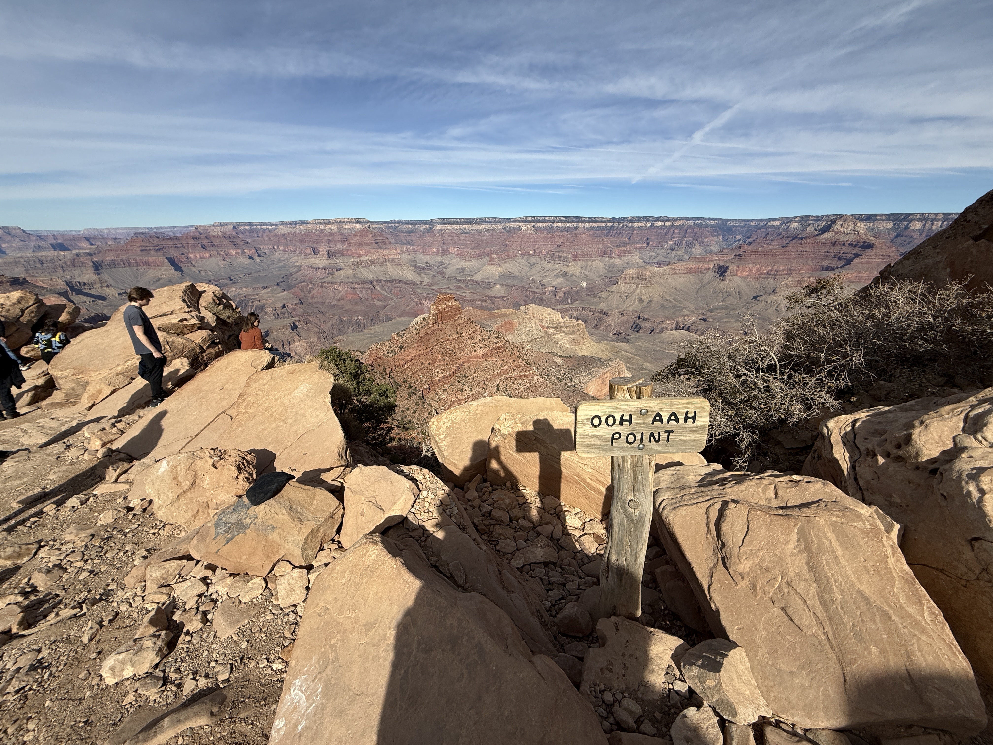
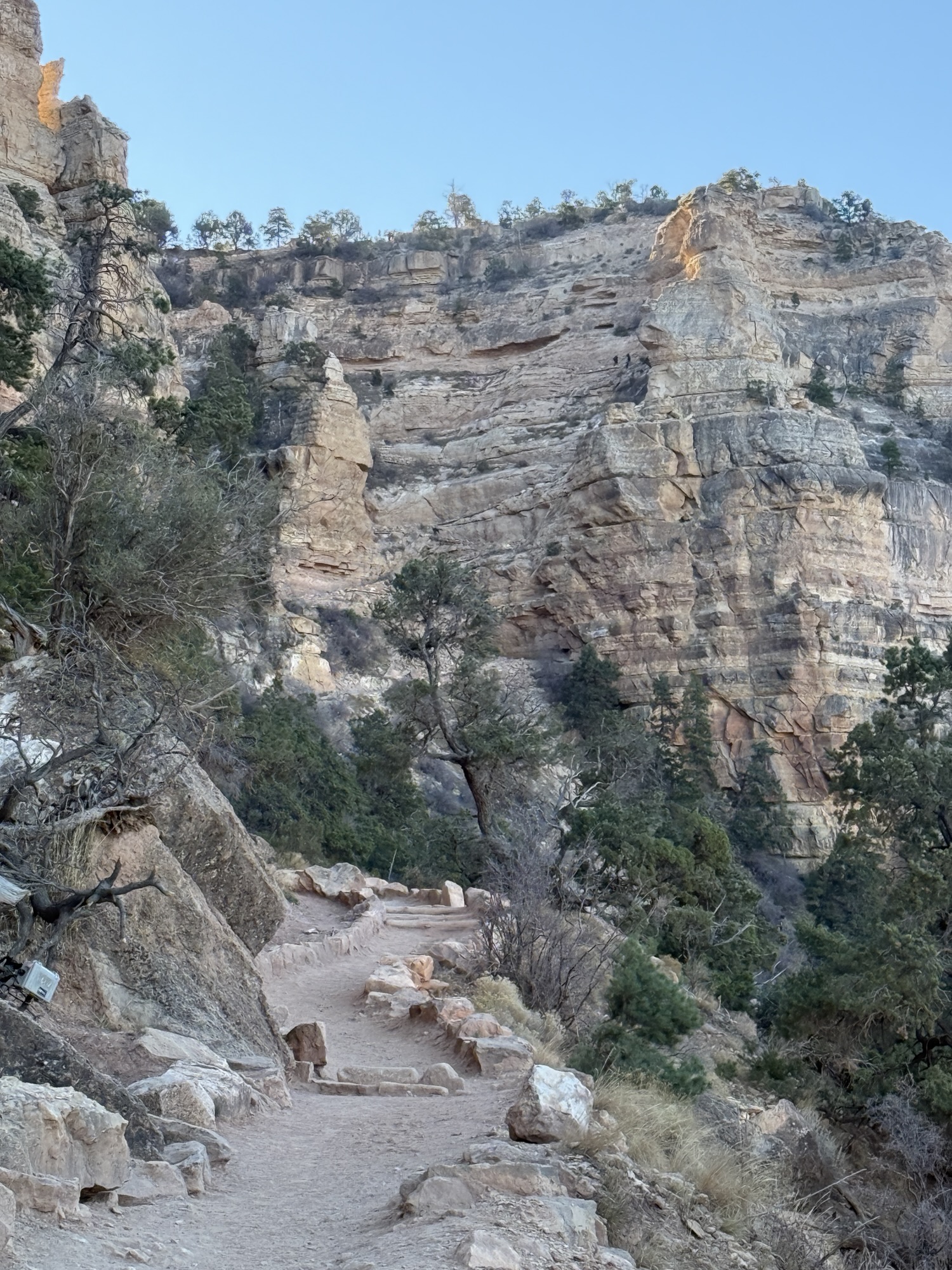
I turned away from The Canyon and focused on the trail under my feet. I didn’t want to cry again. Past Ooh-Ahh Point, I was 3/4 of a mile and less than 800′ from the trailhead. It was now 930am and I could see the throngs of day hikers starting to descend the switchbacks over the quarter mile from The Rim.

About 30 steps from the top, a nice older man struck up a conversation with me, intrigued about my solo trip, asking about what I did and what I saw. The conversation somehow transitioned to me being from Alaska and working as an engineer. This man, who had by now introduced himself as Dennis, asked if I had ever been to Gates of the Arctic, and although I hadn’t I told him I wanted to go.
He said he hadn’t been up there since the 70s, when he was working as an engineer on the builiding of the Alaska oil pipeline. My grandfather’s protege and best friend had been the project manager on that project, so, a shot in the dark, I asked if he knew Mr. Moolin. He repied with, “Frank P Moolin?!?!?” and my jaw dropped. Yes Frank P Moolin. Turned out Dennis had been his right hand man for the project. Frank died not long after the project was completed and Dennis lost touch with the family.
The irony of meeting an old family connection was incredible and it didn’t escape either of us. If I had left 5 minutes earlier that morning, I would have already been at the trailhead, and we never would have crossed paths. I departed by saying, “Serendipity is 100% real,” and Dennis replied in agreement. We wished each other well and parted ways, shocked that this interaction had just happened. Thousands of miles from either of our homes, we met just below of the rim of the Grand Canyon and spoke of people now long gone. It was just the perfect end to a perfect trip.
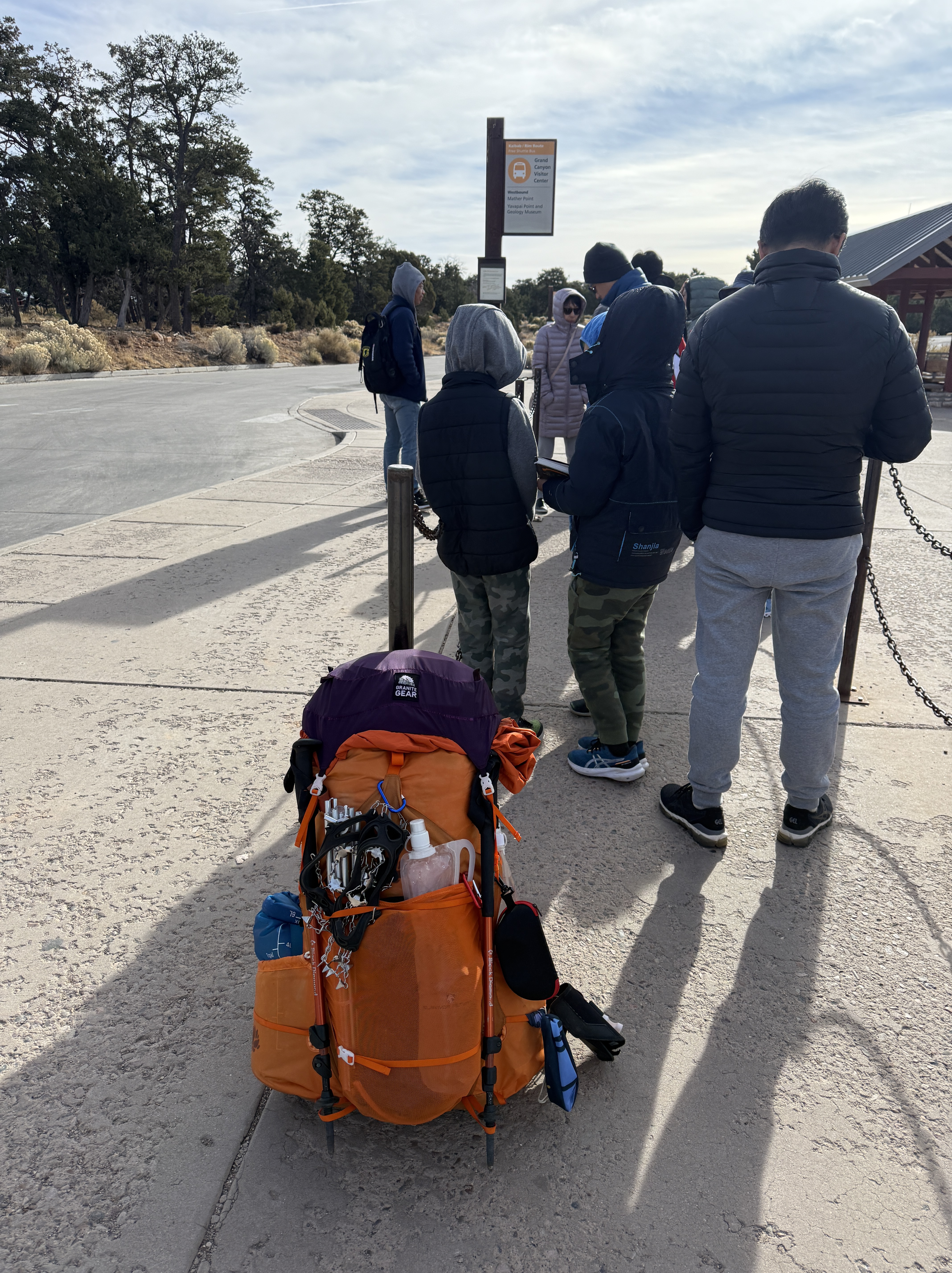
I took my last few steps up to the South Rim and realized how proud I was of myself for achieving yet another major goal. I had left my saddness behind and was now thrilled with my accomplishment, but ready for a real shower and laundry. The shuttle took us out to Yaki Point for a view, but I sat in my seat, not wanting to have my last look be from a tourist viewing point. I had seen more than 99.999% of the annual 5 million visitors would ever see. I felt complete.
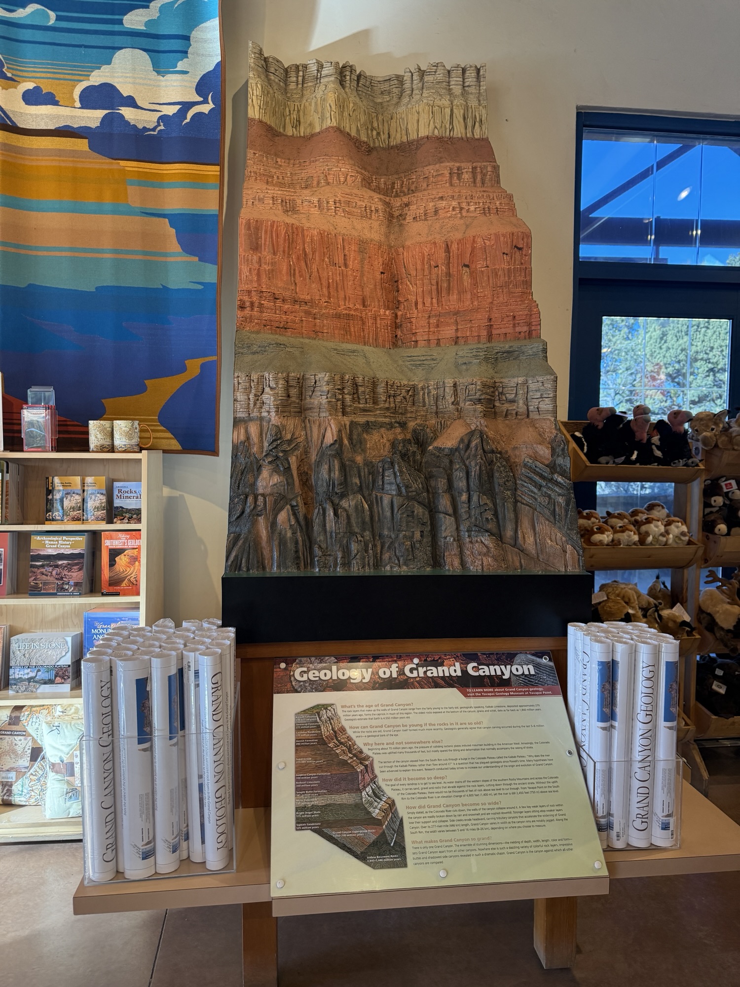
Disembarking from of the shuttle, I went immediately into the Grand Canyon Conservancy shop, dropped my now not so heavy pack in the corner, and spent an hour or more collecting interesting GC history books, a t-shirt for my daughter, and a hoodie that says, “Erosion happens,” with a graphic of all of the layers on the back. I picked out the perfect postcards for my mom, myself and my daughter and was told there was a post office right near the showers/laundromat.
I donned my pack for the last time on this trip, juggling a very full bag of memorabilia and books, and walked the short distance back to my rental Kia Soul, ready for the terrifying drive back down I17 to Phoenix.
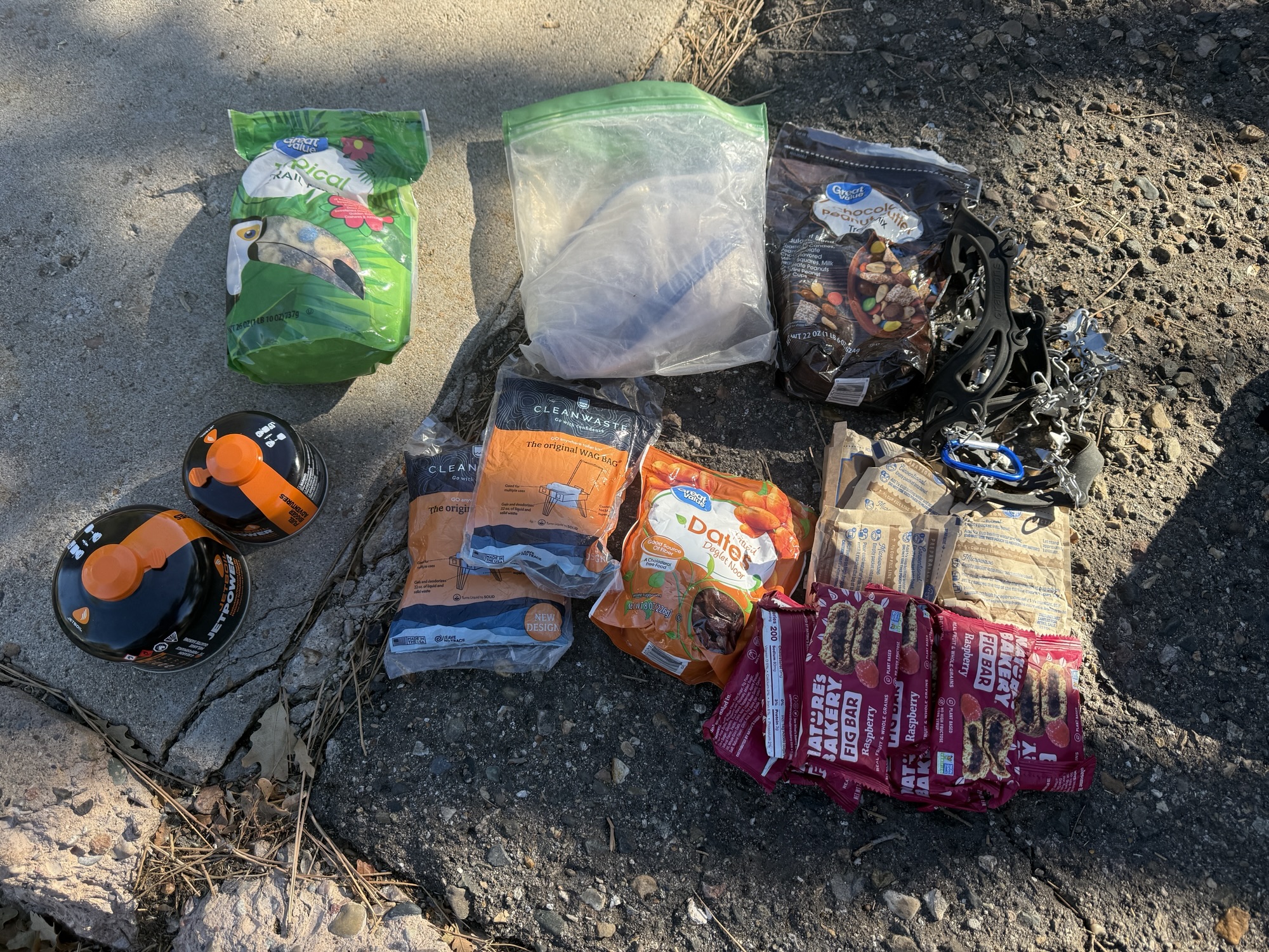

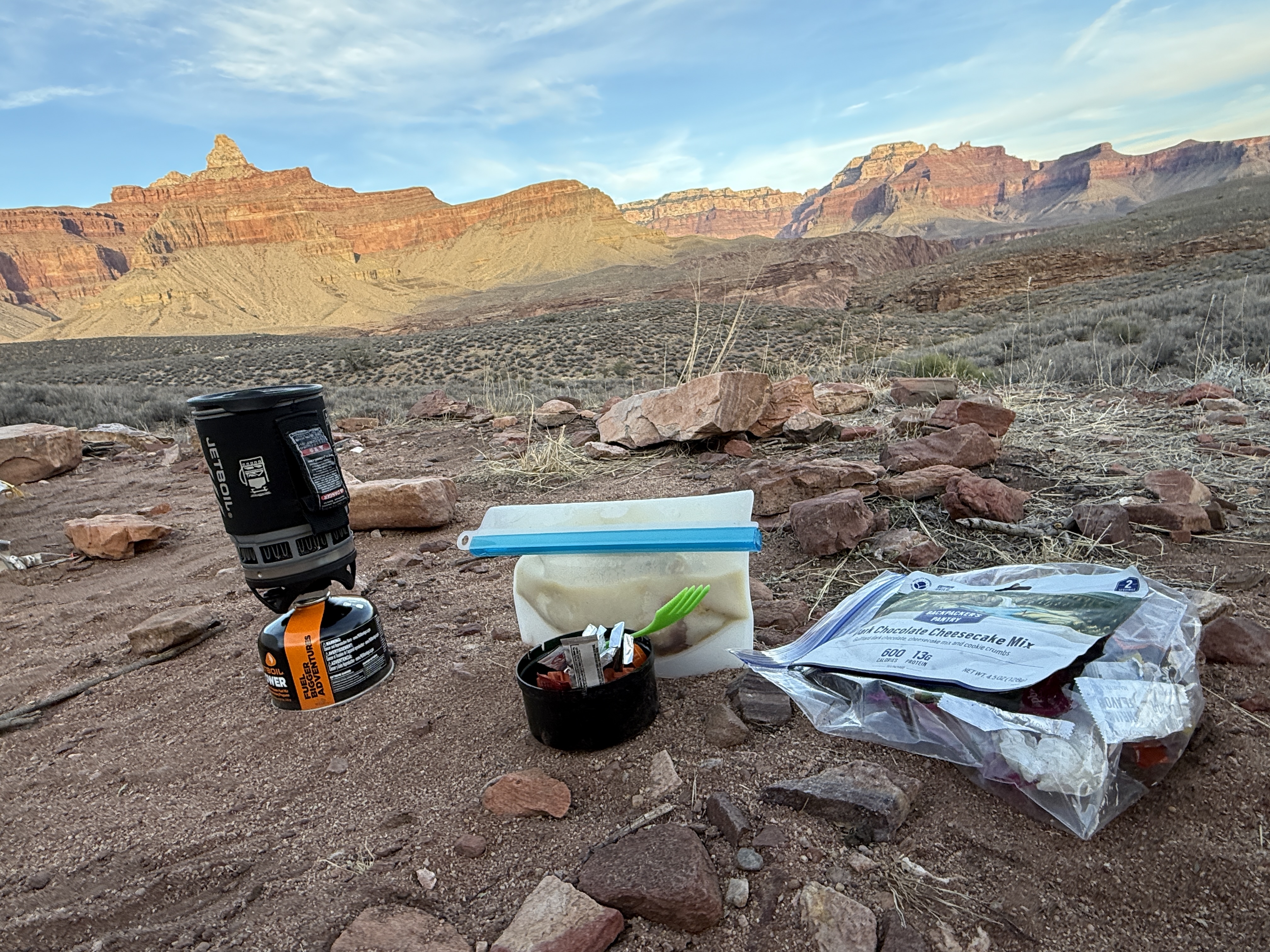
In Grand Canyon Village, I stopped by the post office and general store, buying junk food, a giant sandwich, and a magnet that says, “I hiked the Grand Canyon Rim to Rim to Rim.” The showers and laundry were nearby, and after getting clean and throwing in a load, I headed down to the Backcountry Info Office to drop off my gas cylinders that still had some life, as well as my waterproof matches. Anything that can’t go on an airplane and may be helpful to other hikers can be left here with the Ranger to redistribute.
Laundry done, I organized all of my stuff, took one last look at this beautiful place and then drove away without looking back, afraid I would start crying again. I couldn’t resist stopping in Tuyasan at the Starbucks for a real cup of coffee. The drive was uneventful, pulling over every so often to check my tire pressure and stretch my quickly stiffening legs, as I descended towards the city and the heat of Phoenix. A rainbow over the desert was once last surprise before the sun set and I pulled into Sky Harbor Airport.
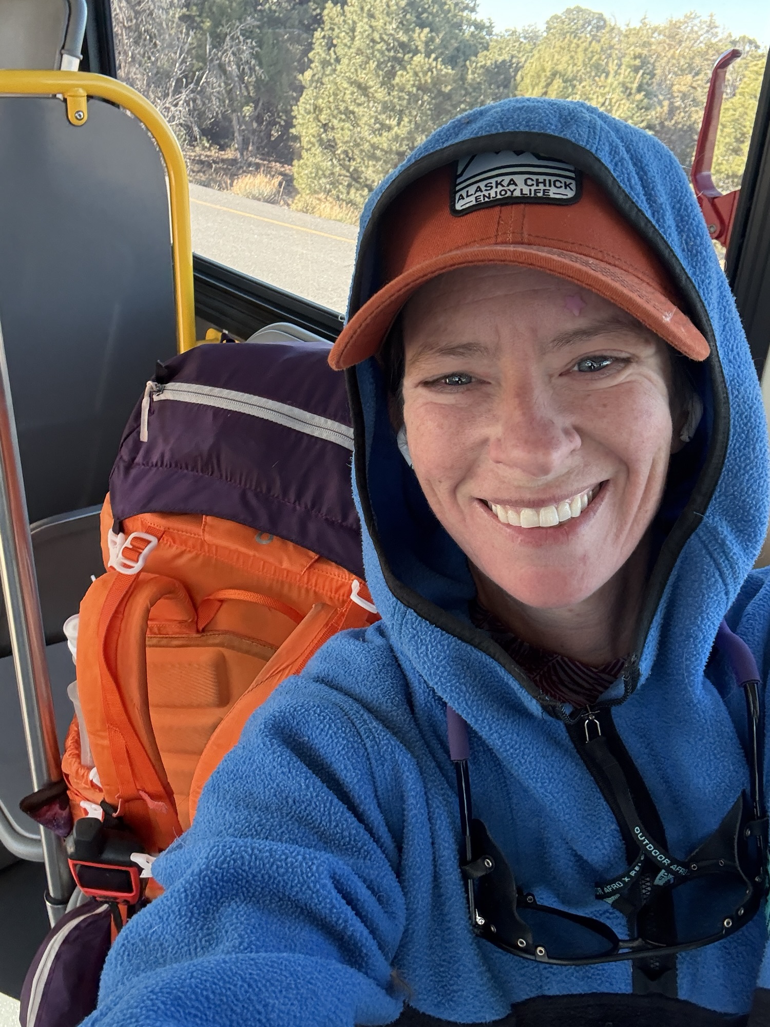
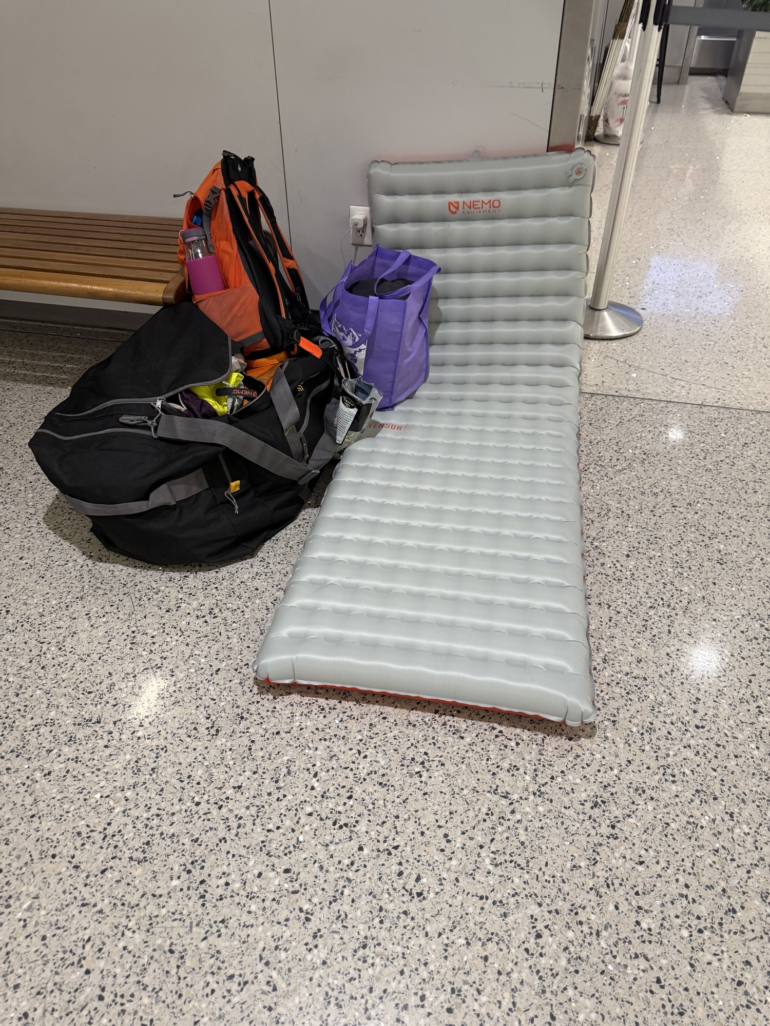
I dragged my giant duffel bag to the train and then to the AK Airlines check in kiosks. My flight wasn’t until the following morning so I inflated my Nemo pad, put on my headphones and drifted in and out of sleep until 430am when I could finally check in and go through security. I fell asleep on the plane knowing that I had just had one of the most memorable journeys of my life and would be back again the following November, no questions asked.


Total Trip Mileage: 50 Miles
Total Trip Elevation Gain: ~12,000′
5 Nights / 6 Days
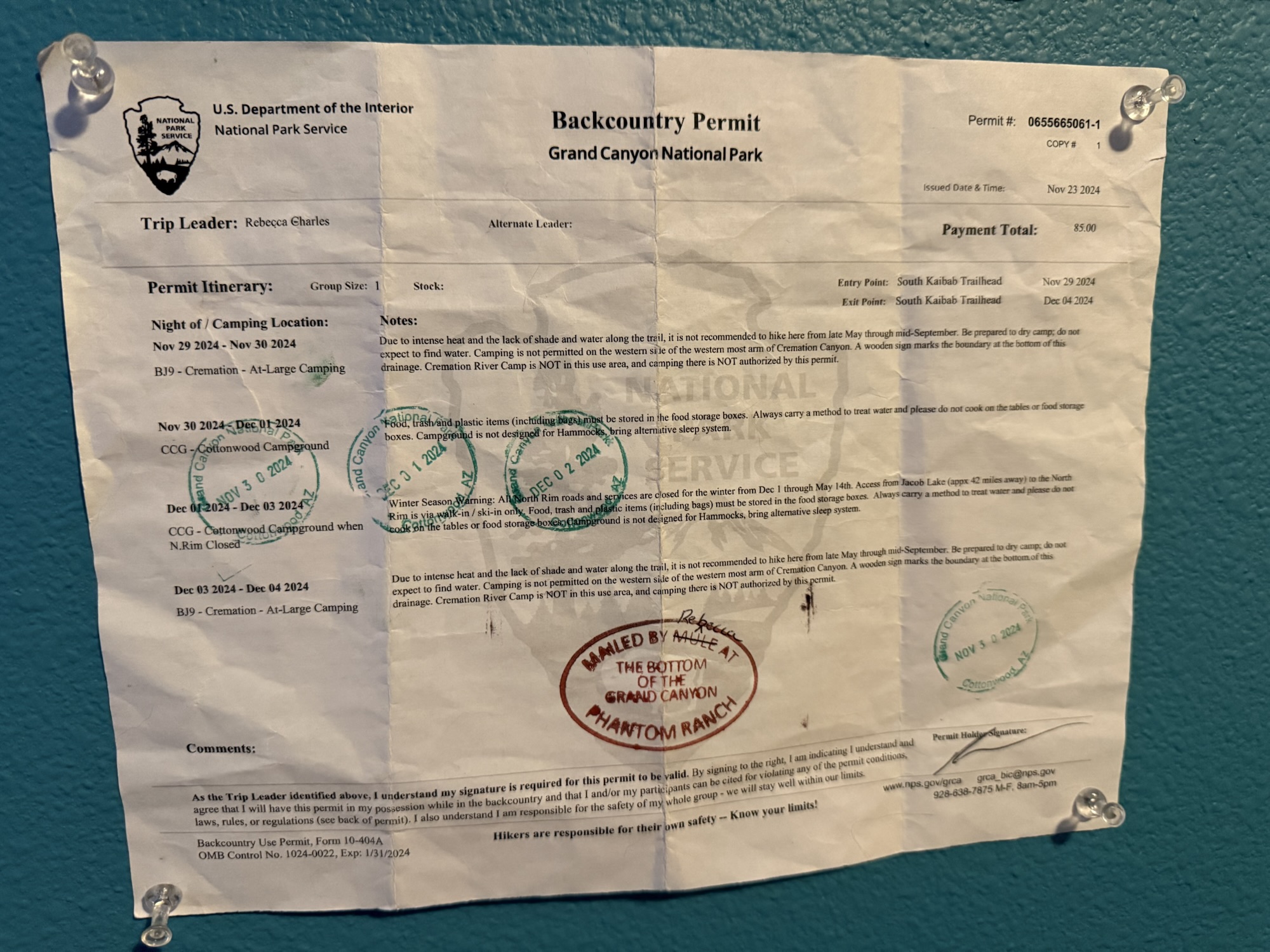
Permits: GC NP Website
Rim To Rim To Rim AllTrails Link:

Just The Tips:
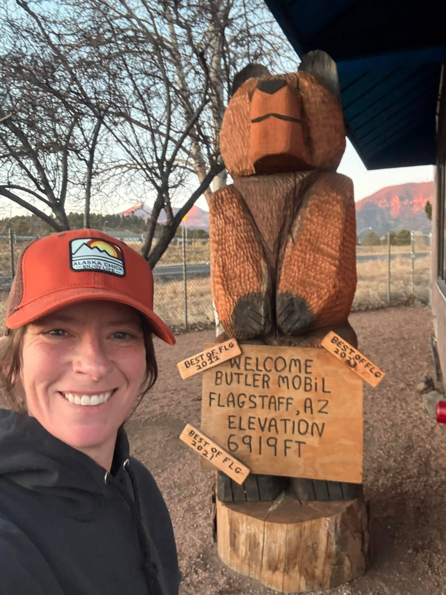
- Instead of flying into Phoenix, opt to fly into Flagstaff. I’ll be doing that next time instead of making the 3 hour drive each way.
- If you are flying in, pre order your stove fuel and other supplies online from Sportsman’s Warehouse in Phoenix or Flagstaff. I found this to be quick and easy.
- Be aware that your tracking devices and phone may not be able to get a satellite connection in some of the narrow canyons. Tracking may get wonky, as the vertical walls can cause a location ping, hundreds of feet above or below you.
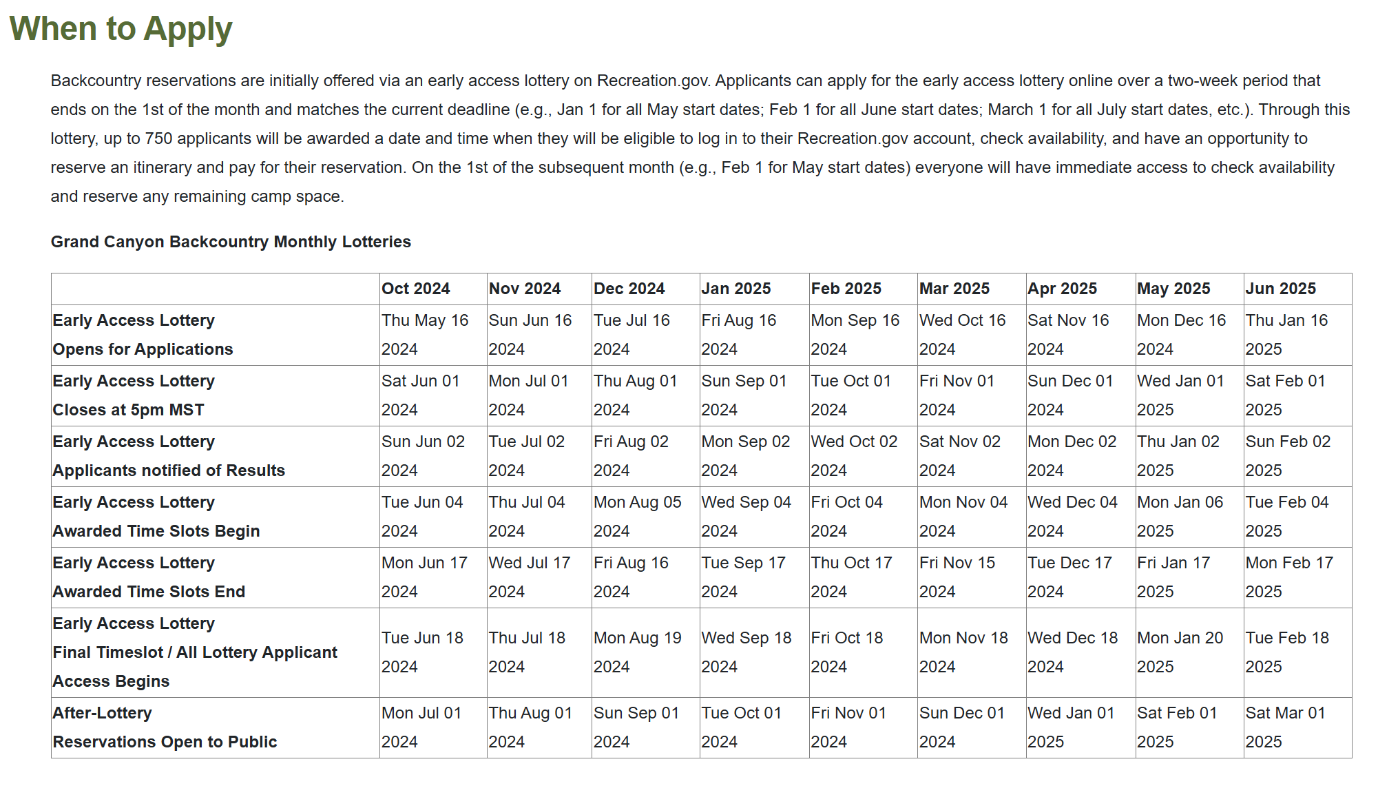
- Permitting for the Grand Canyon can be confusing. It is best to apply for the lottery, which opens based on the month of travel and is available for application on the 16th of the month, in the 5th month prior to your trip. For example, a September Trip lottery application period would open April 16. See this article for more information about getting your Grand Canyon permit.
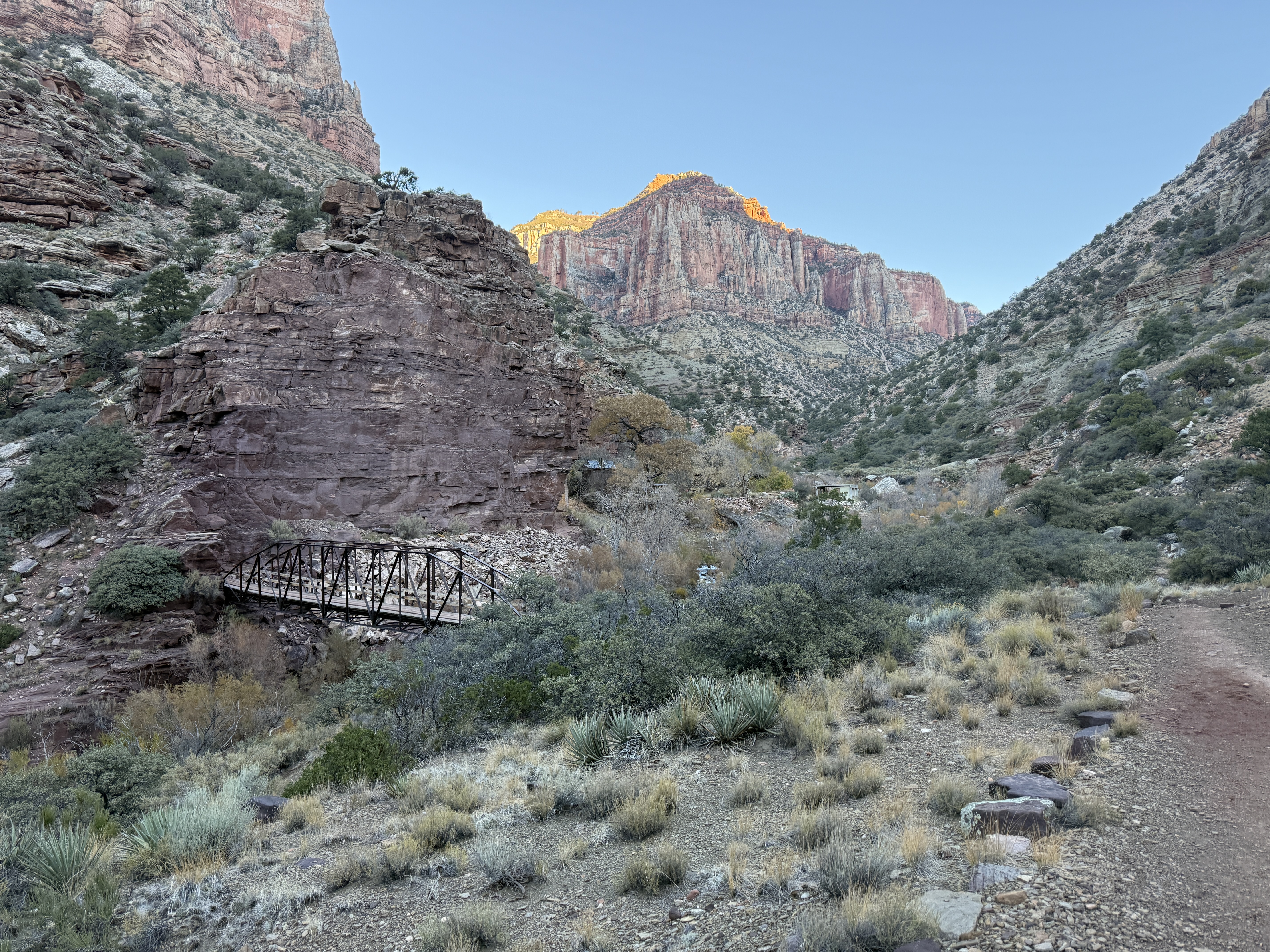
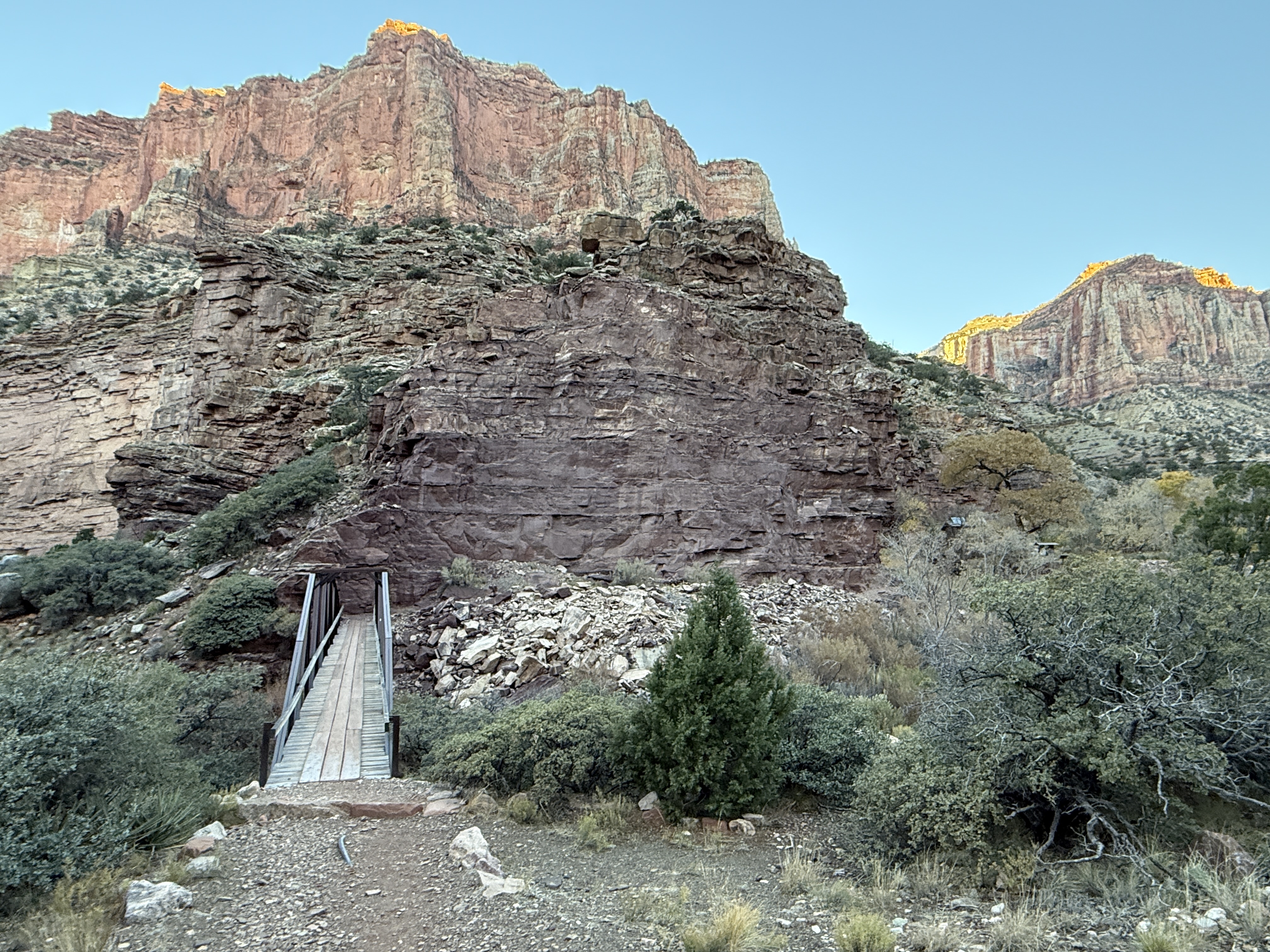
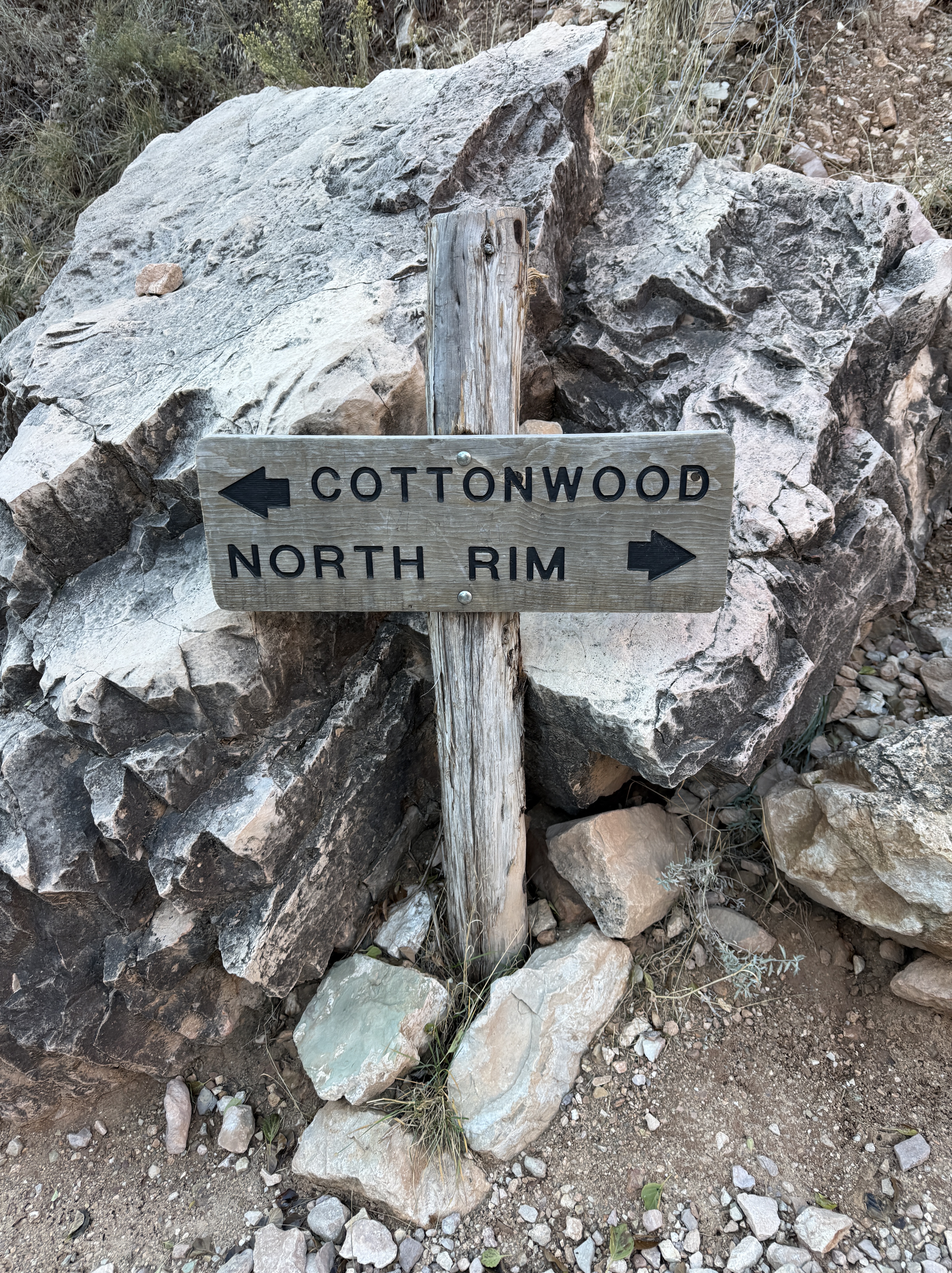
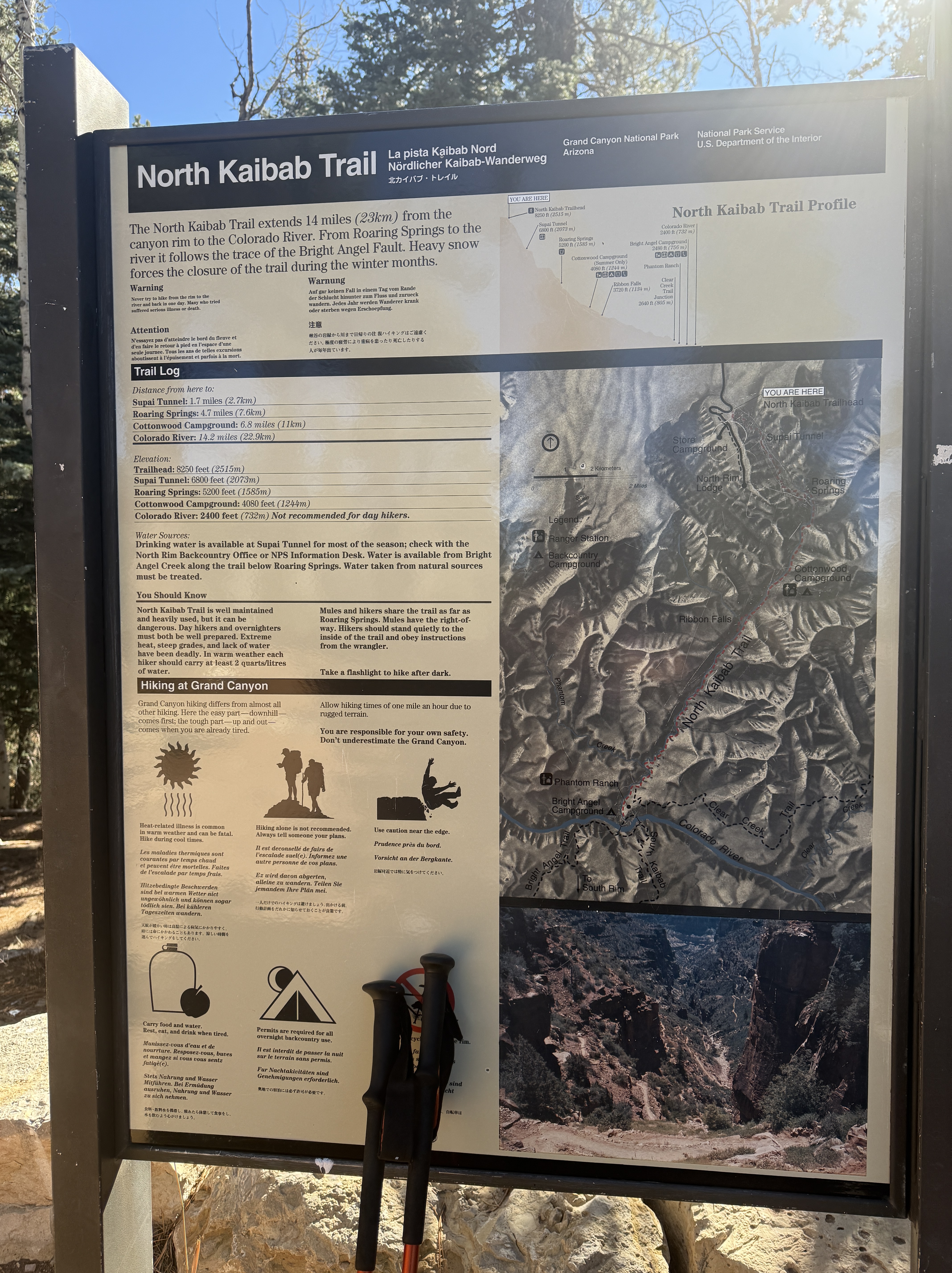
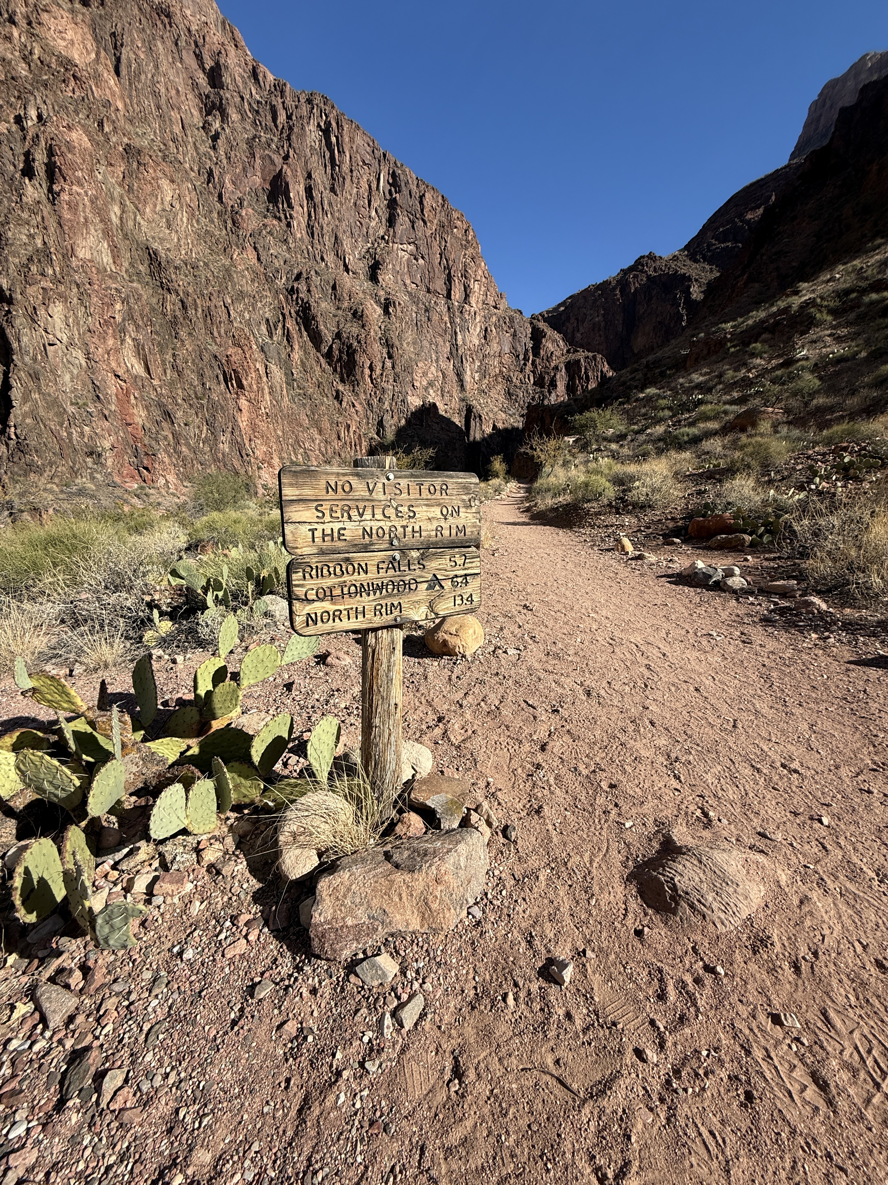
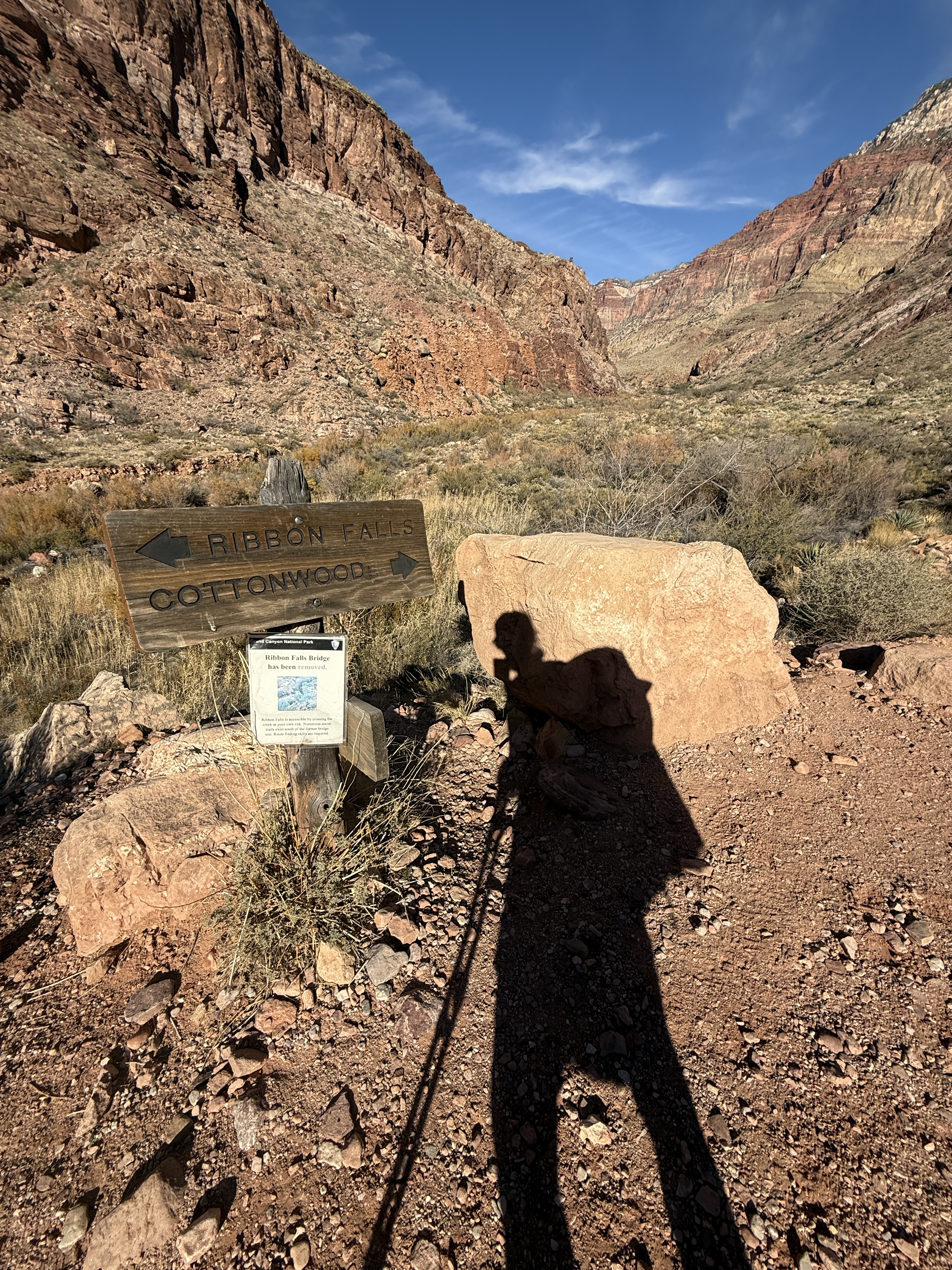
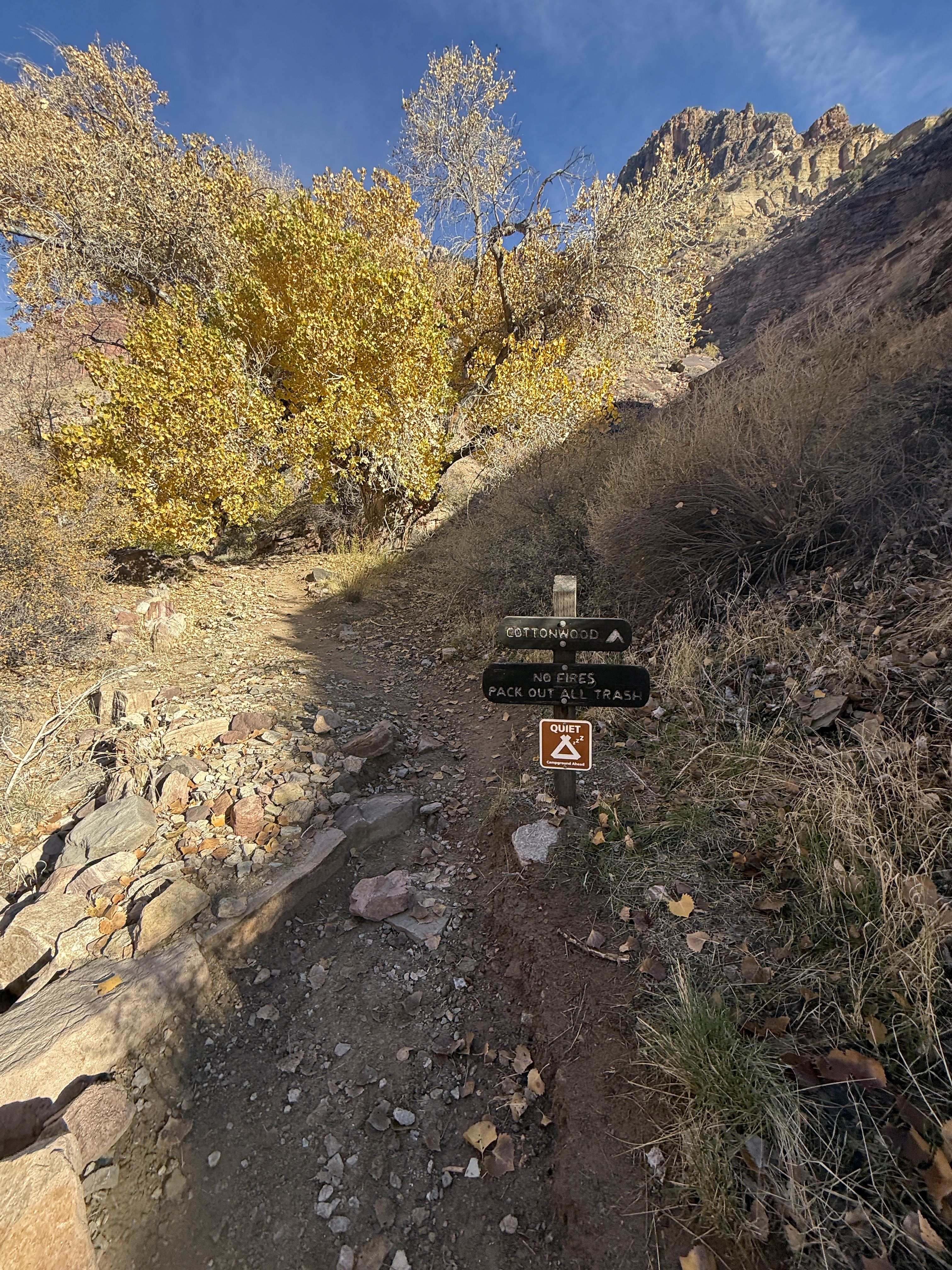
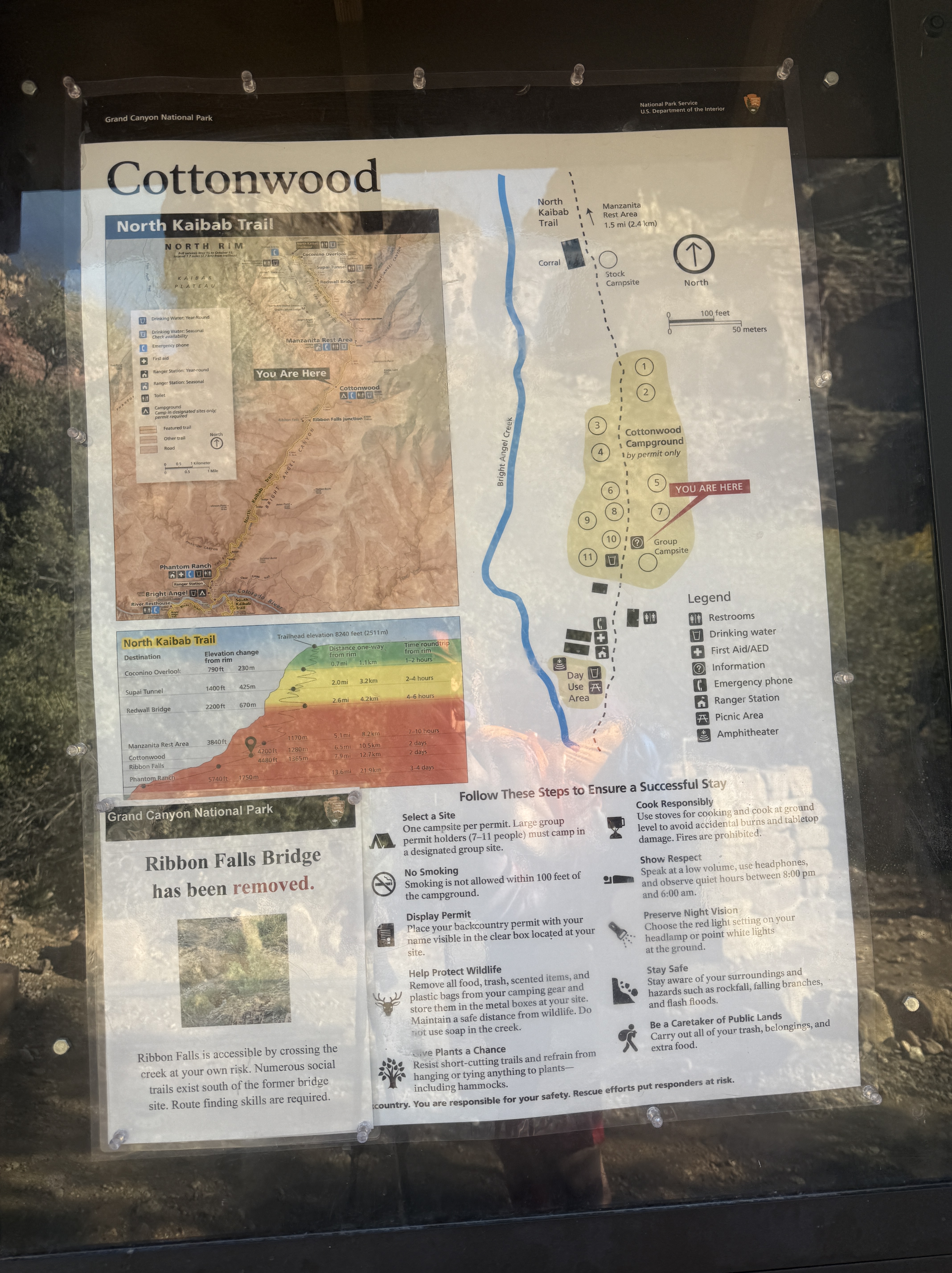
- Give yourself more than one night at Cottonwood Campground to allow for a side trip to Chimik’yana’kya Deya’ (Ribbon Falls) or a day hike to the North Rim, plus a rest day. I found 3 nights at Cottonwood to be perfect.
- If hiking rim to rim to rim in the winter, know that there are no services at and no access to the North Rim. You will be one of the few people in the area, far from help. Bring hiking poles and microspikes in case of snow. Evaluate your abilities and comfort with heights honestly before traveling this stretch of trail.
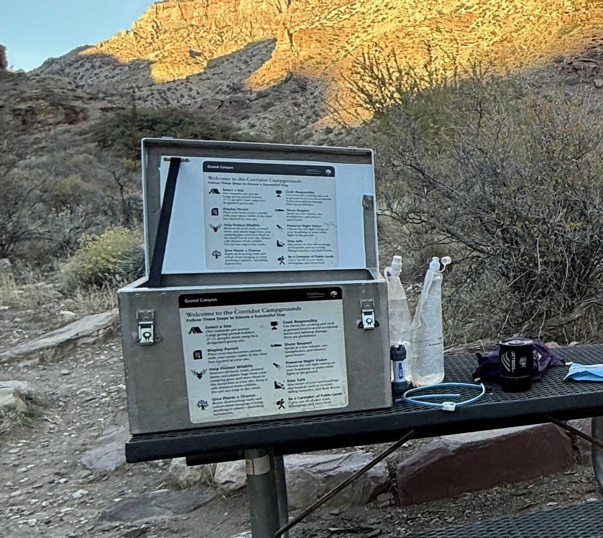
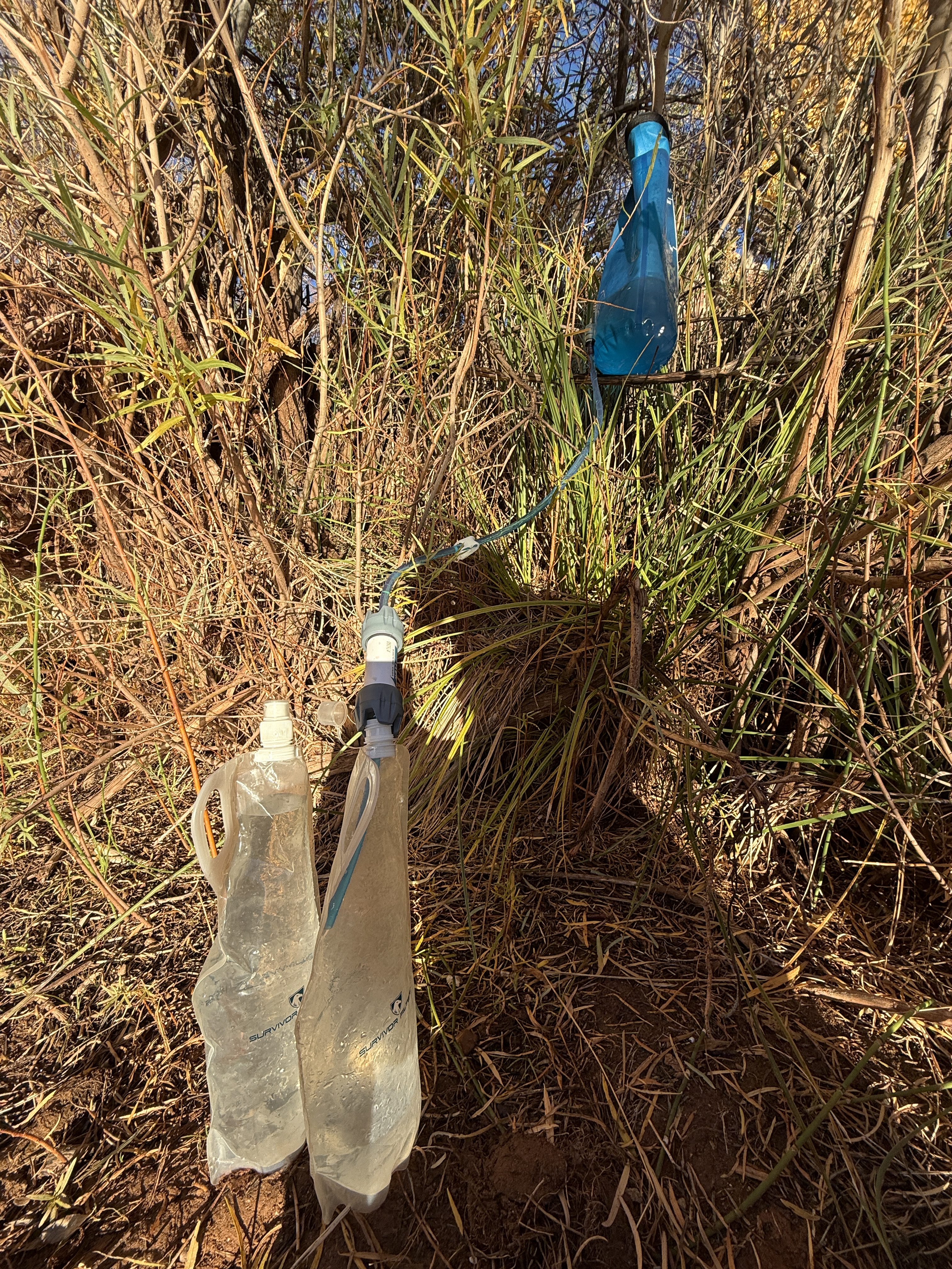
- Carry plenty of water and a water filtration system. Don’t drink unfiltered water. It can contain bacteria even if it looks clean. Be sure to dry out your filter when you get home.
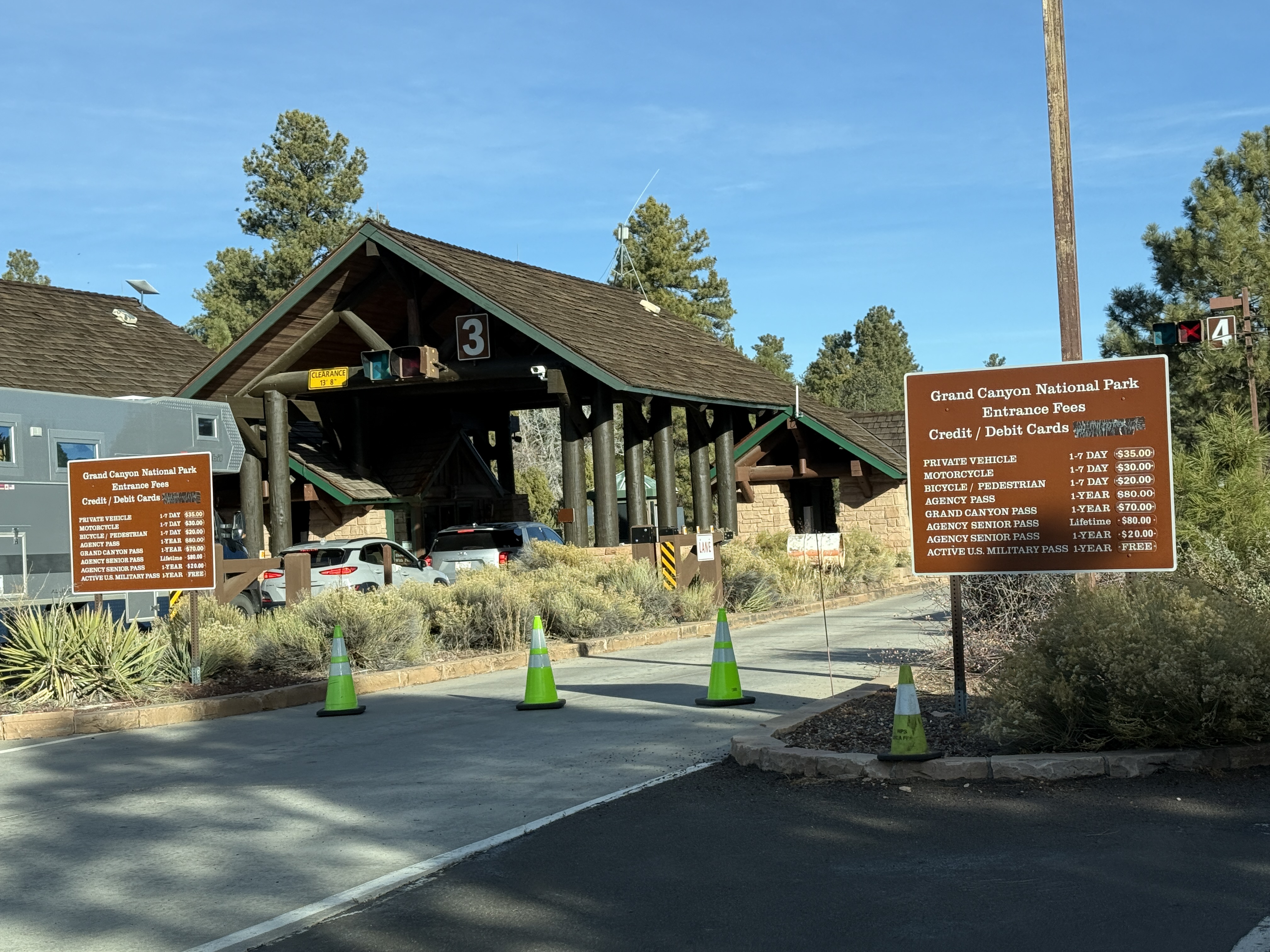
- Get to the park early. The entrance gets extremely backed up with traffic beginning mid-morning.