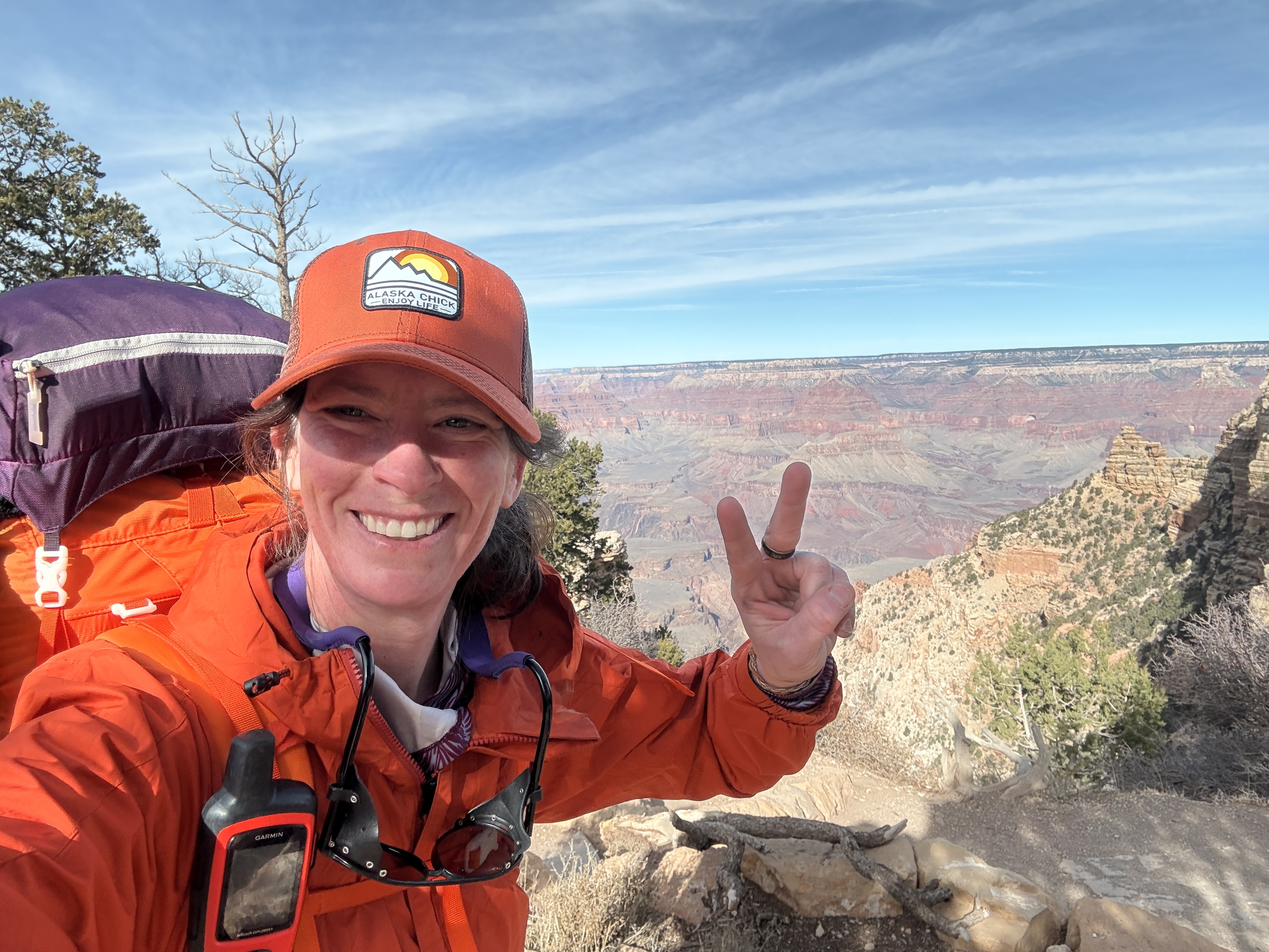
Catlina Island, California
December 3 – 8, 2023
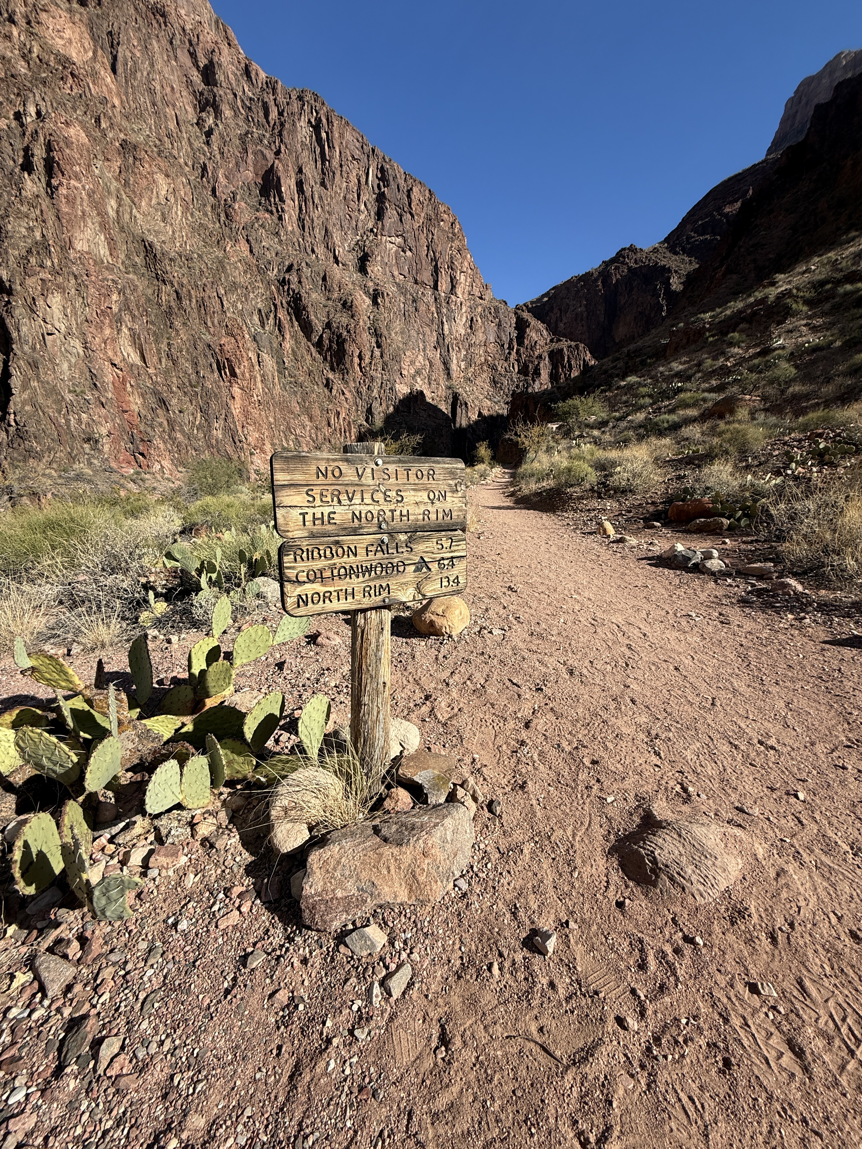
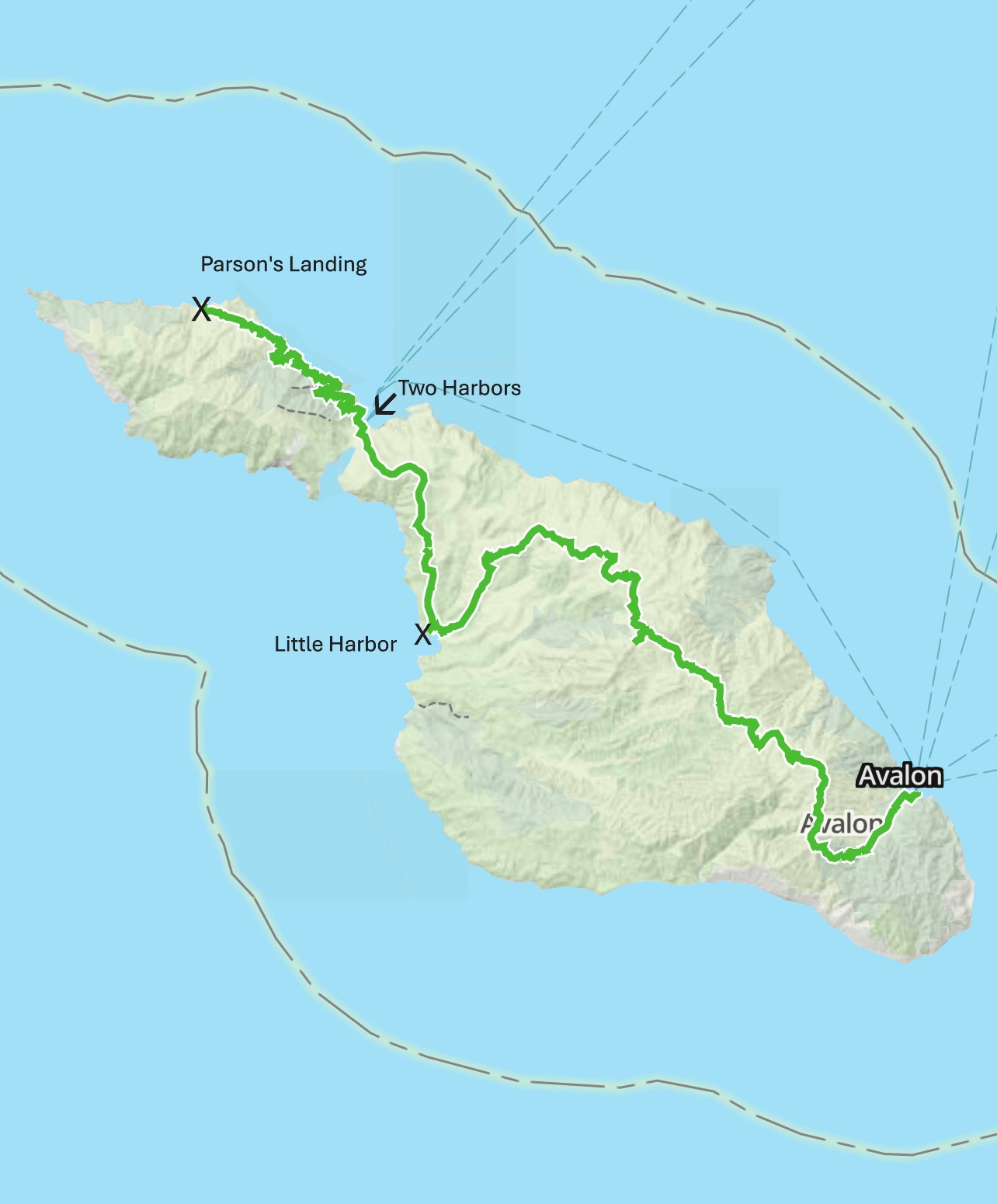
The Plan
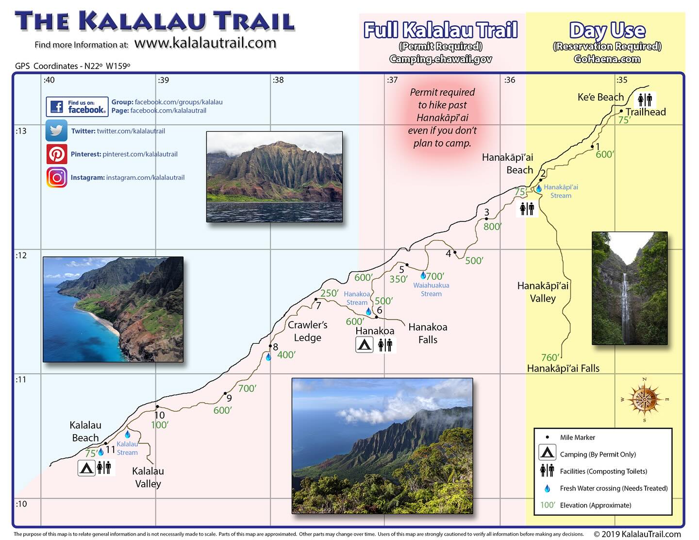
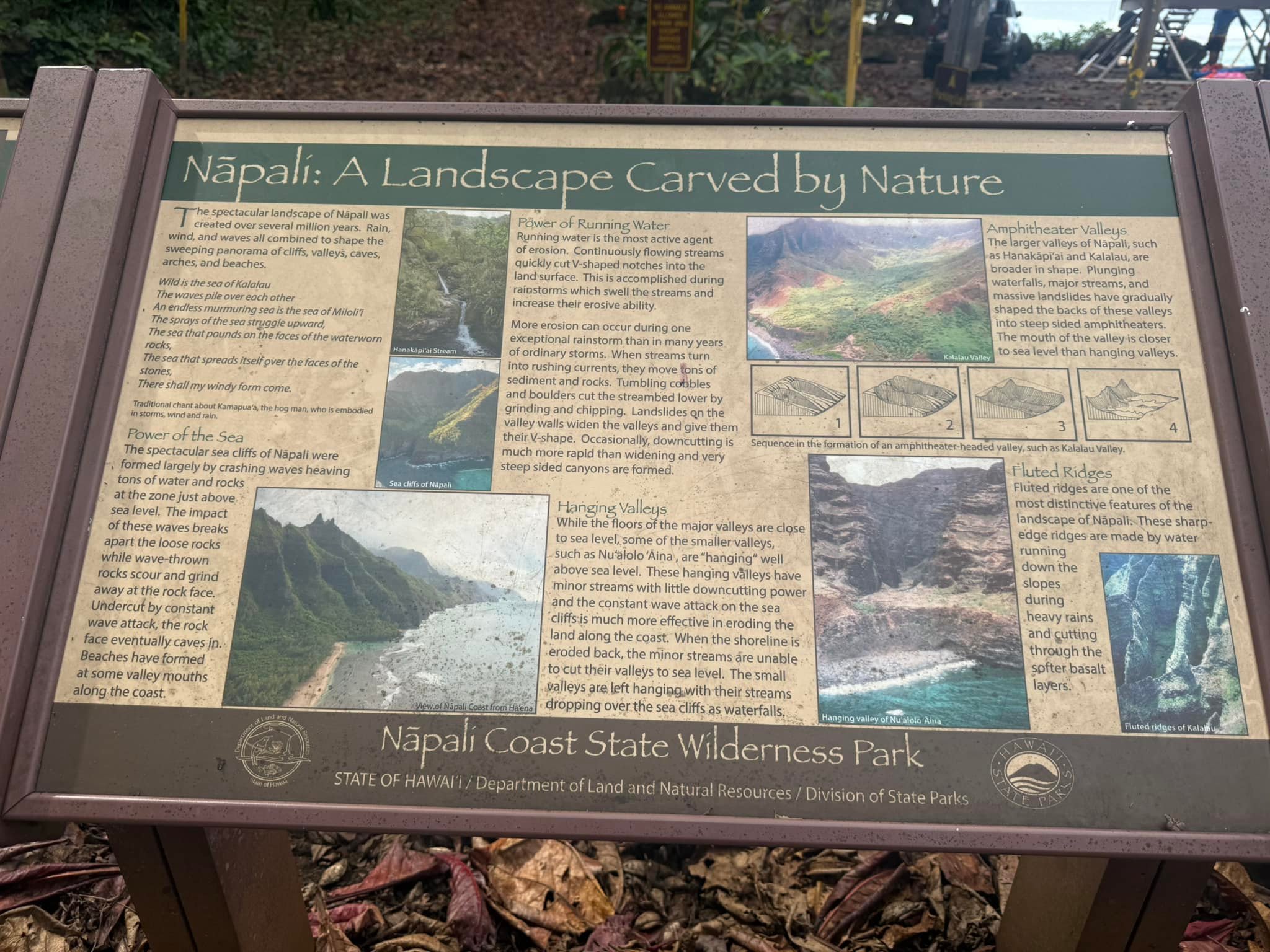
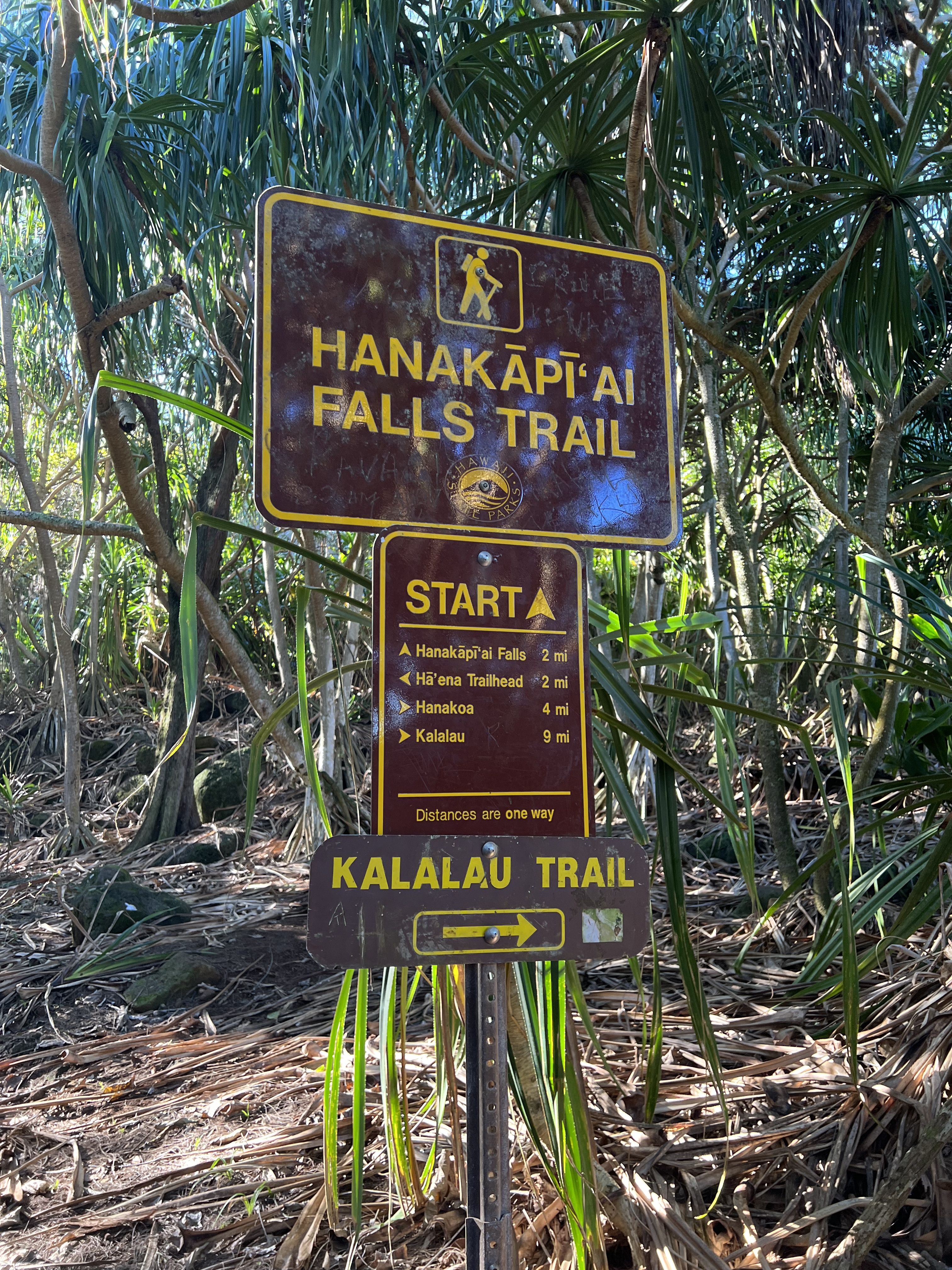
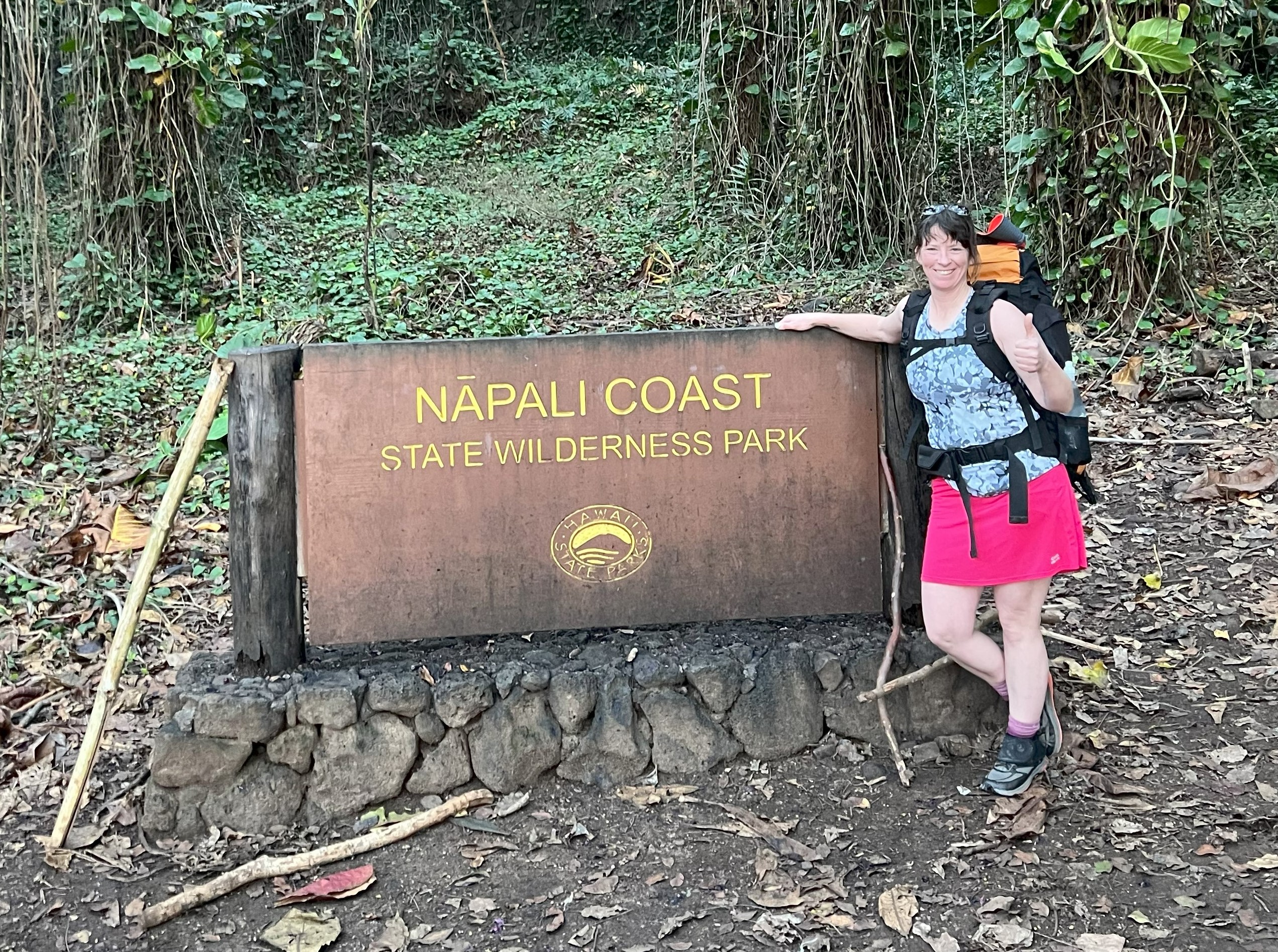
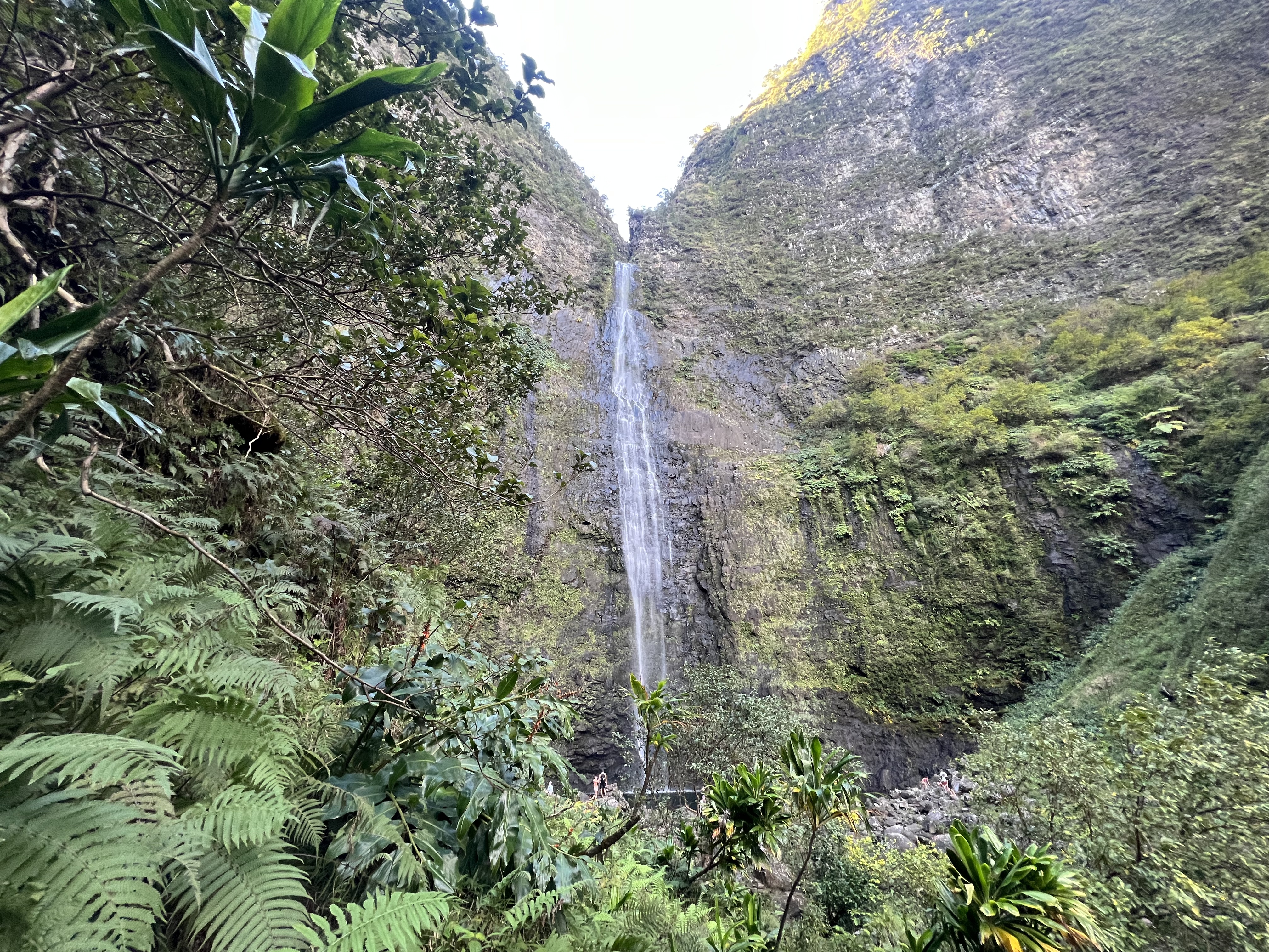
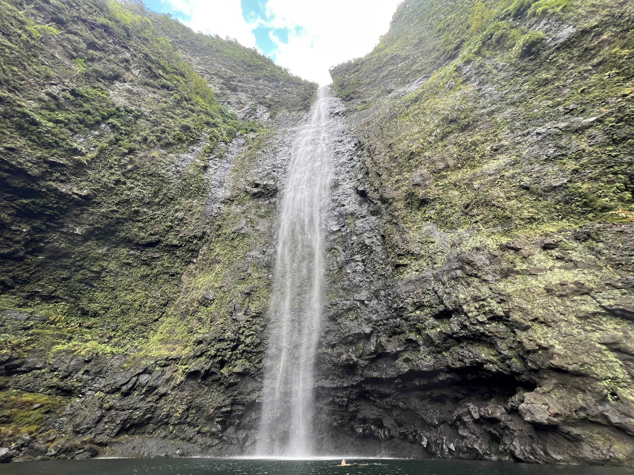
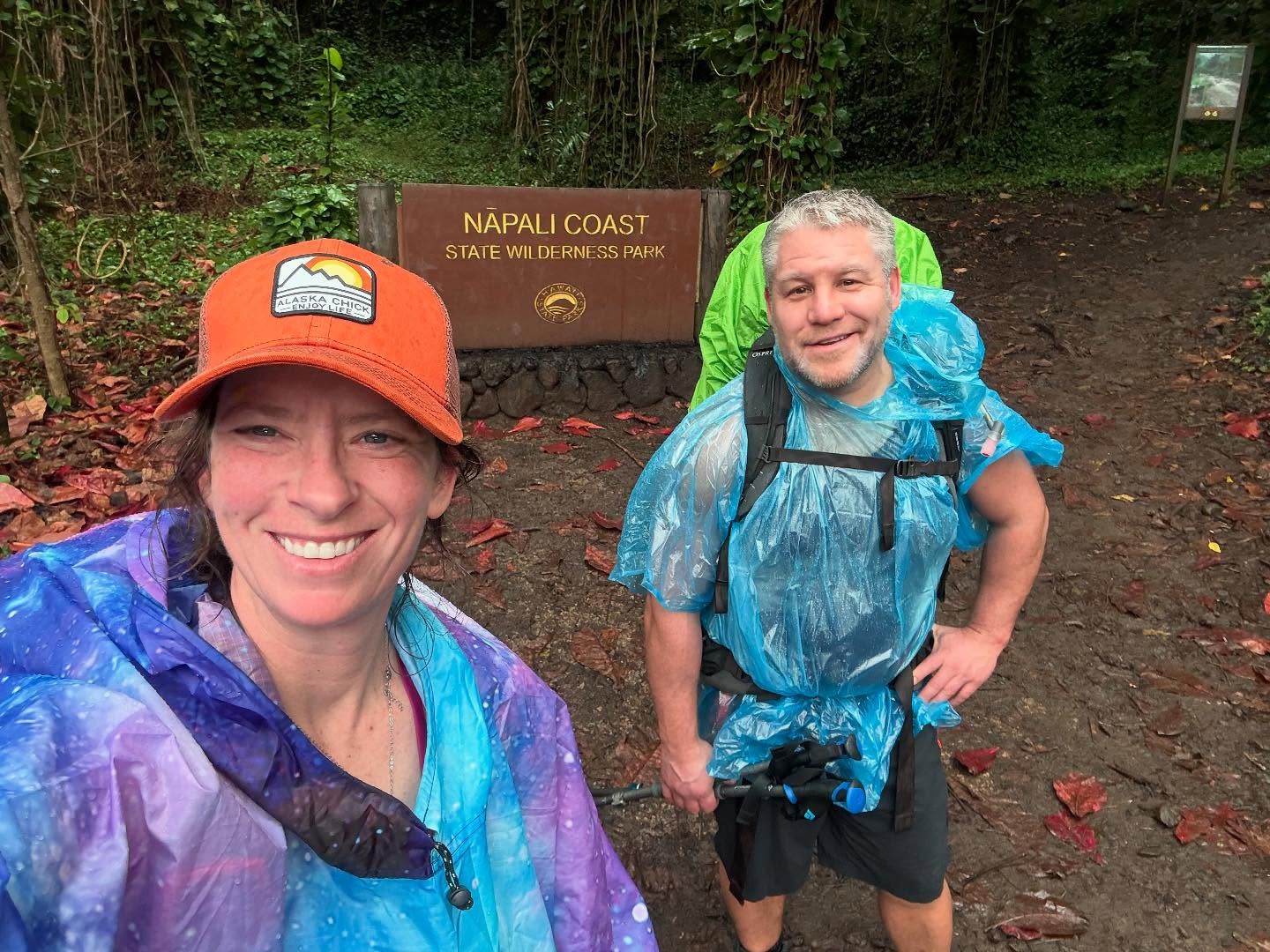
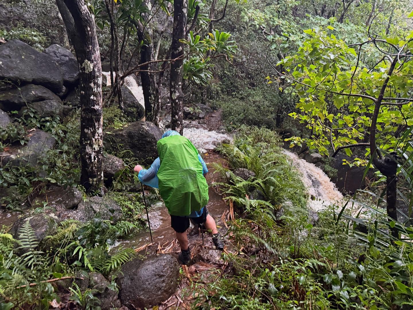
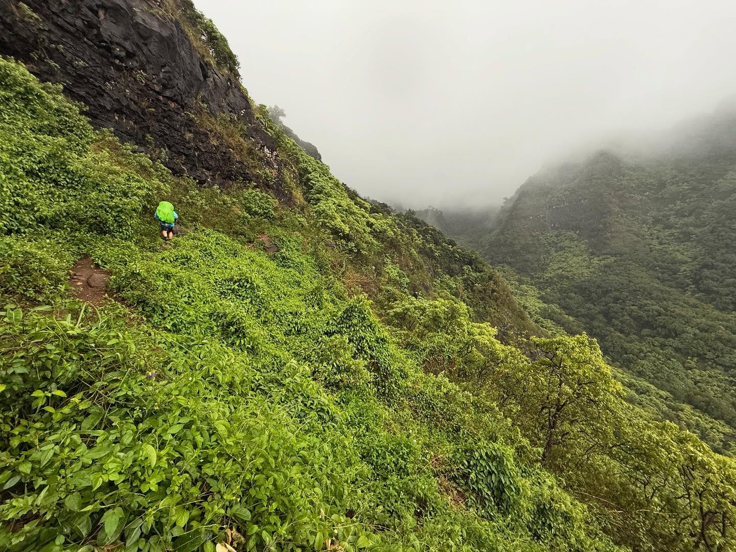
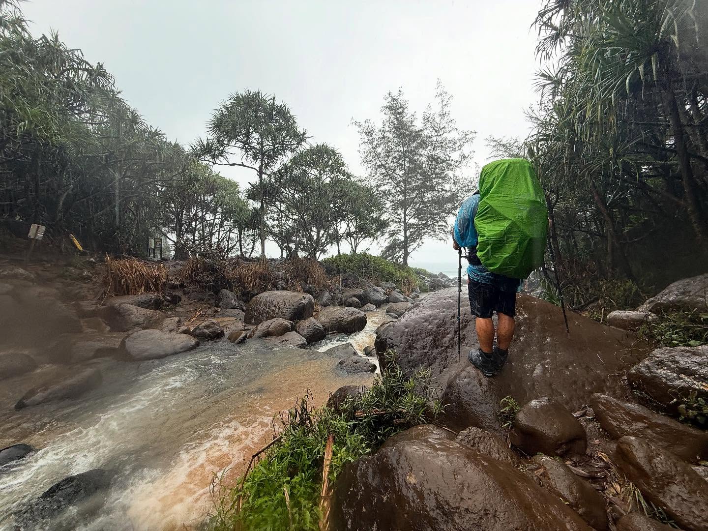
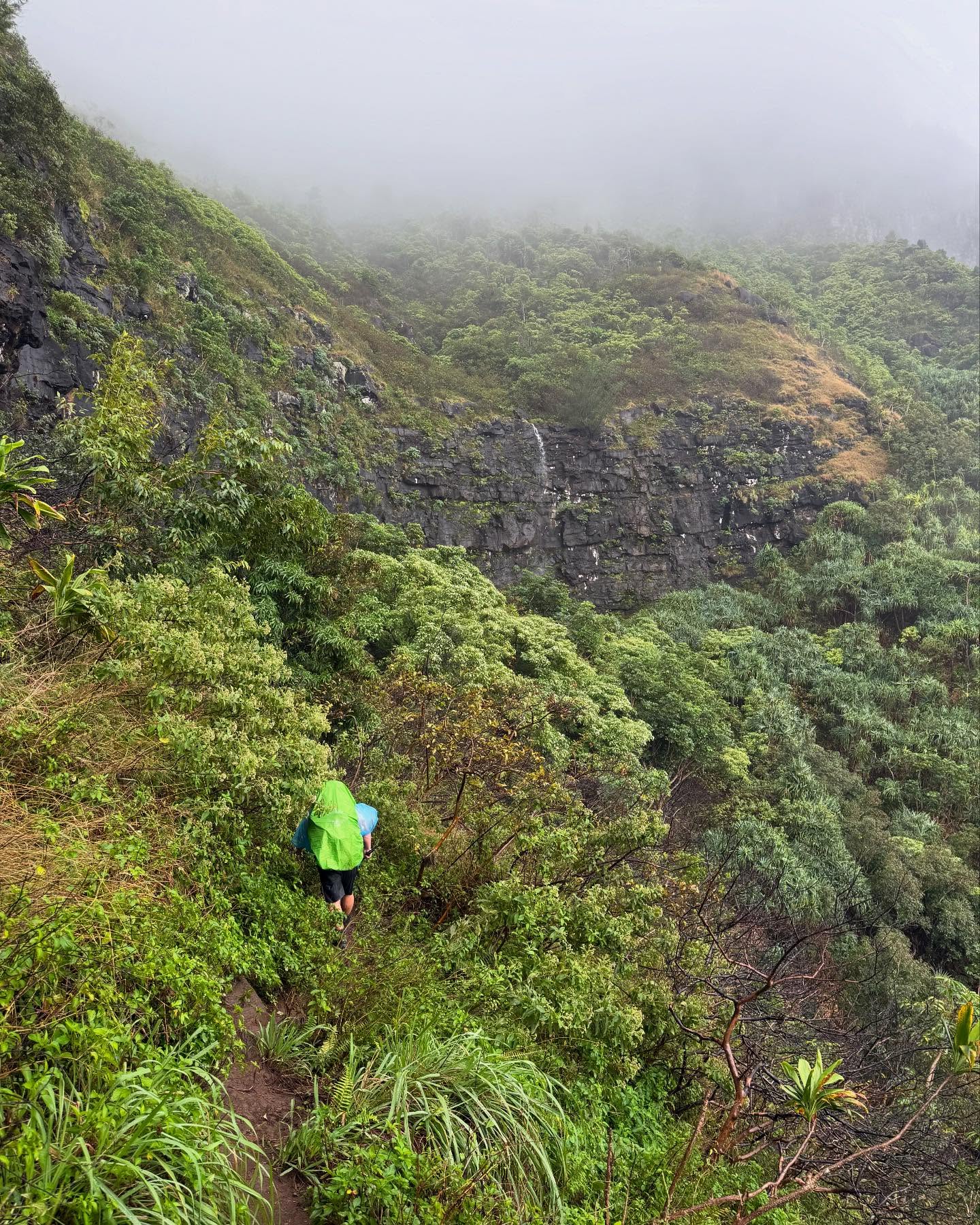
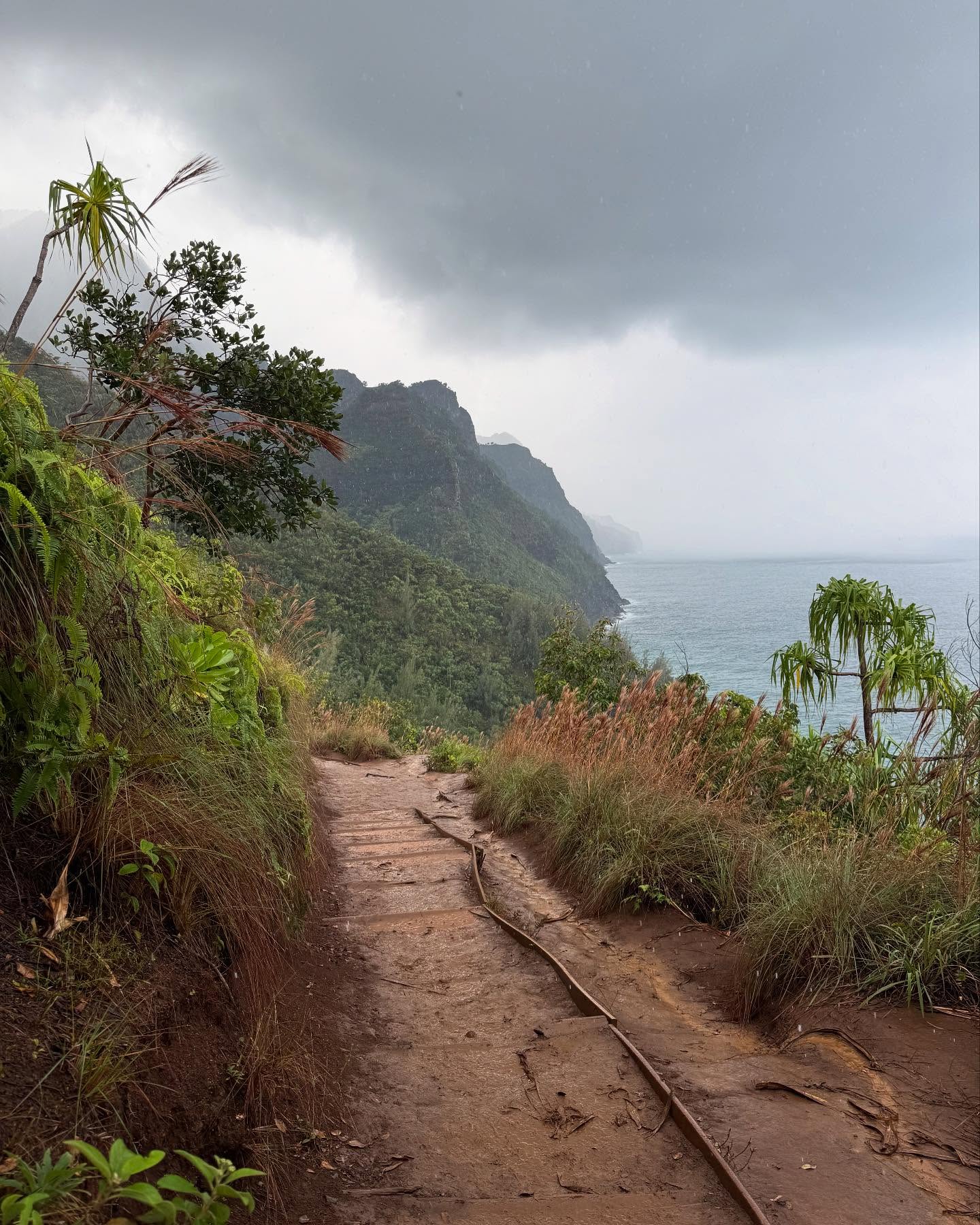
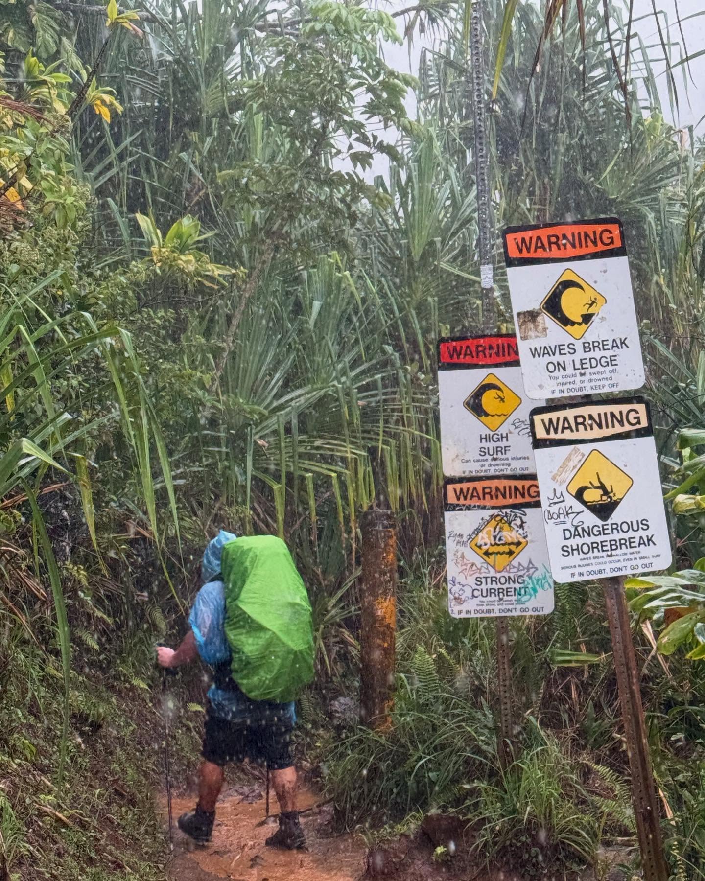
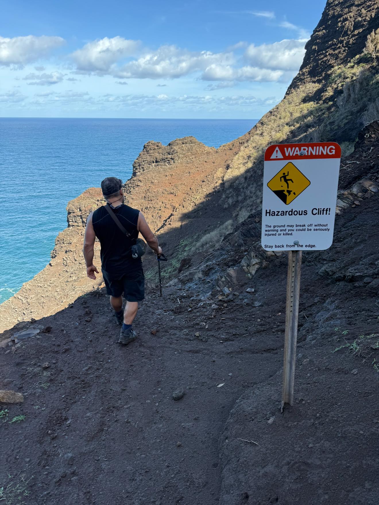
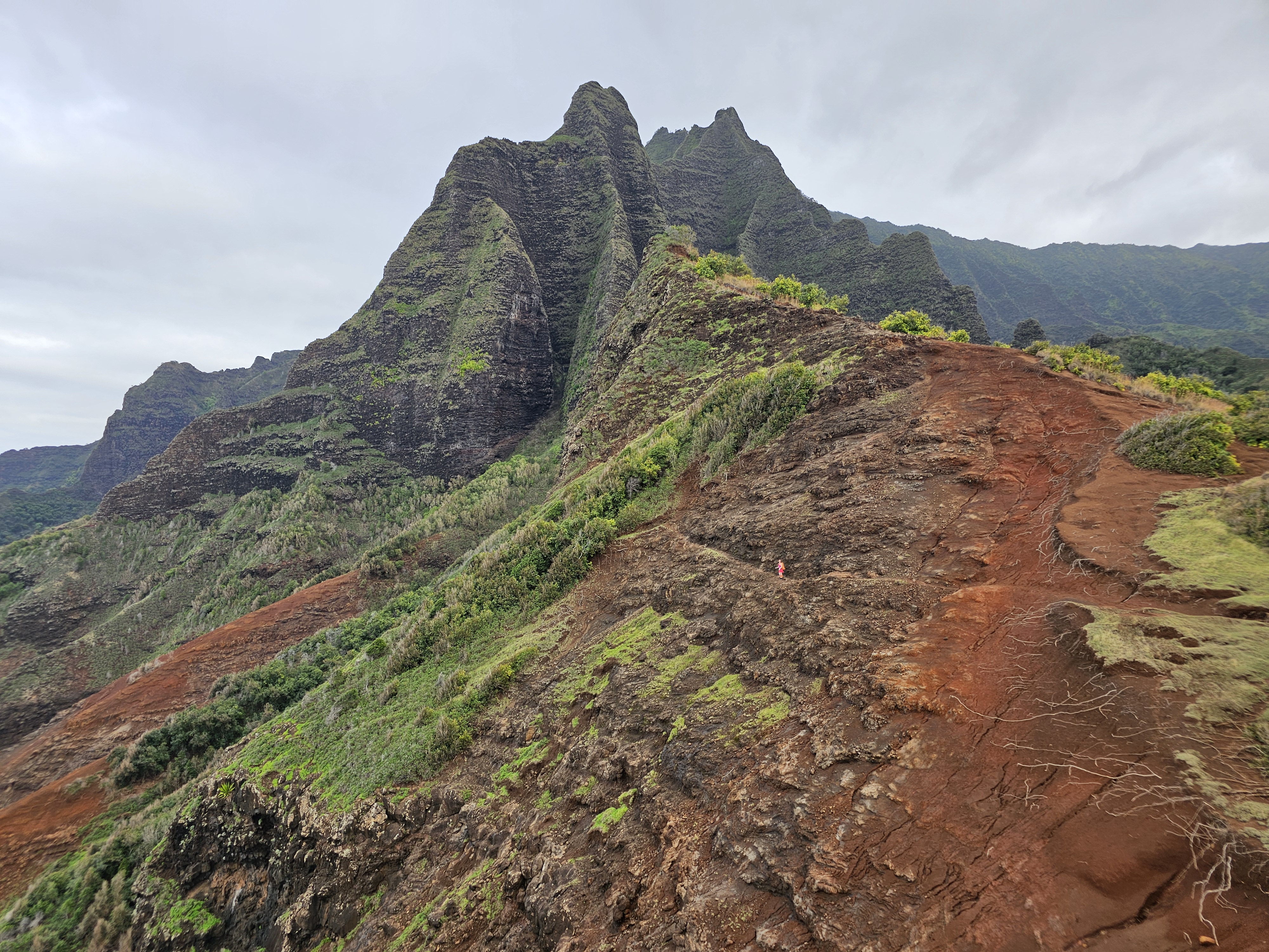
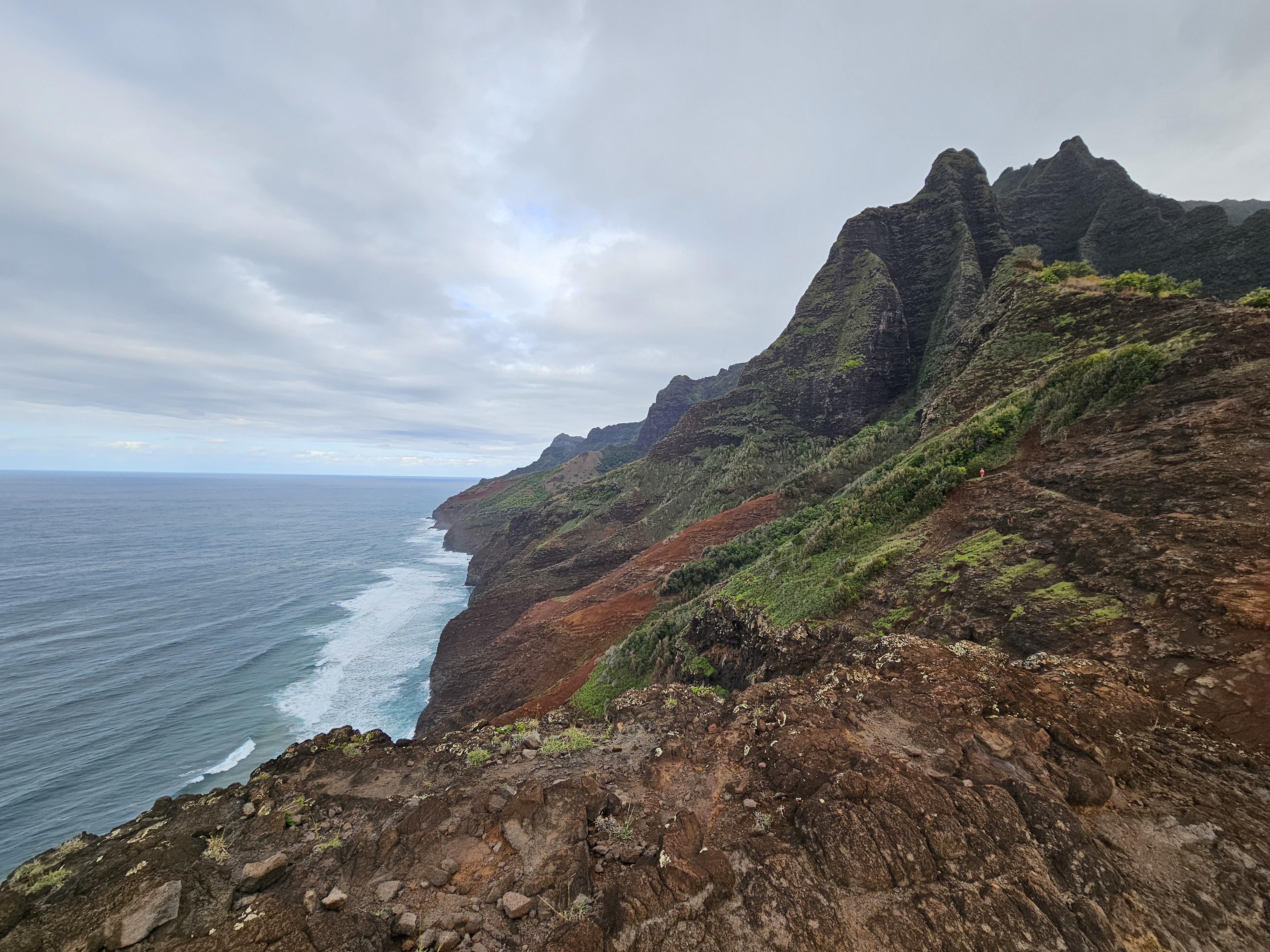
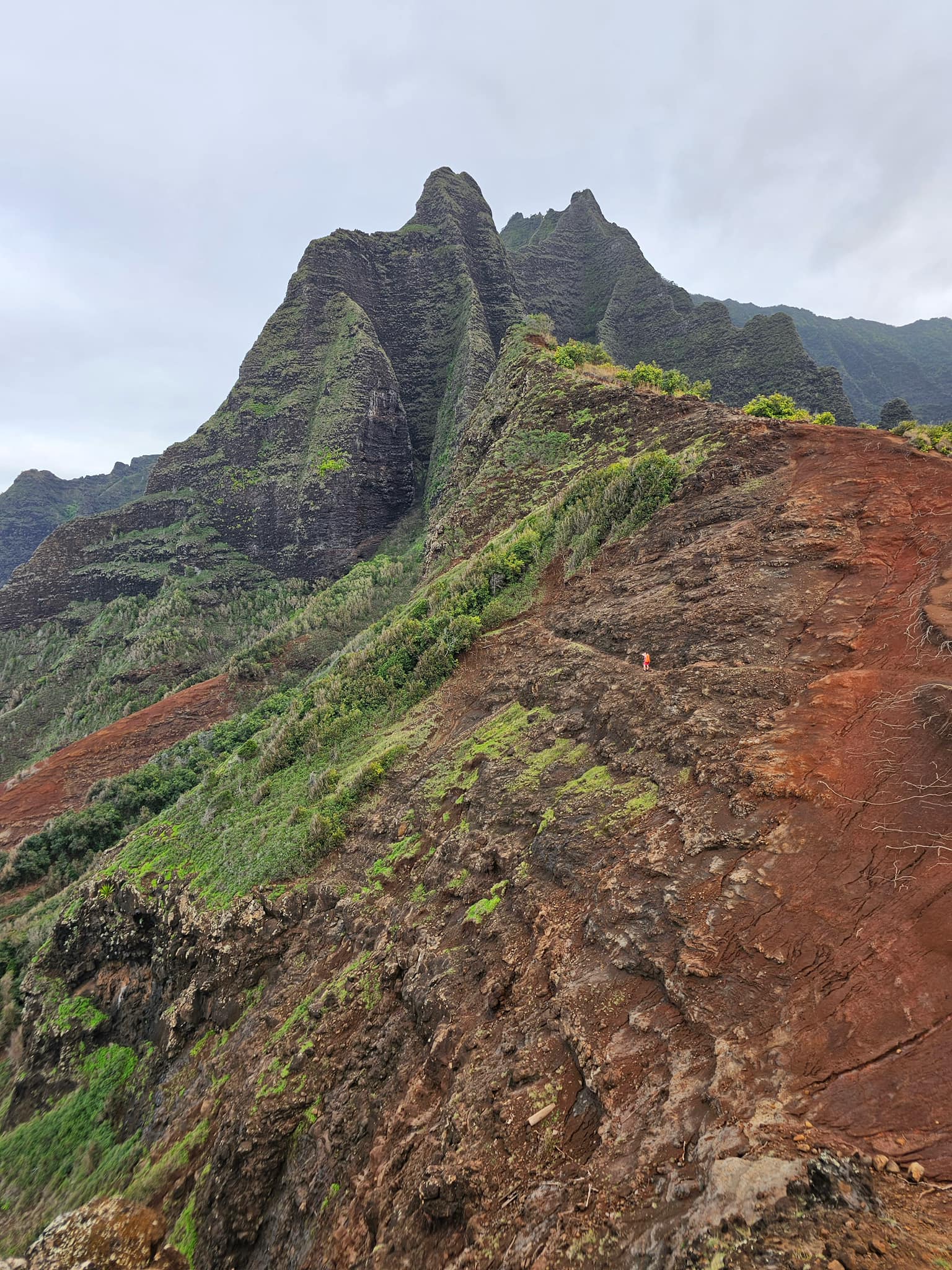
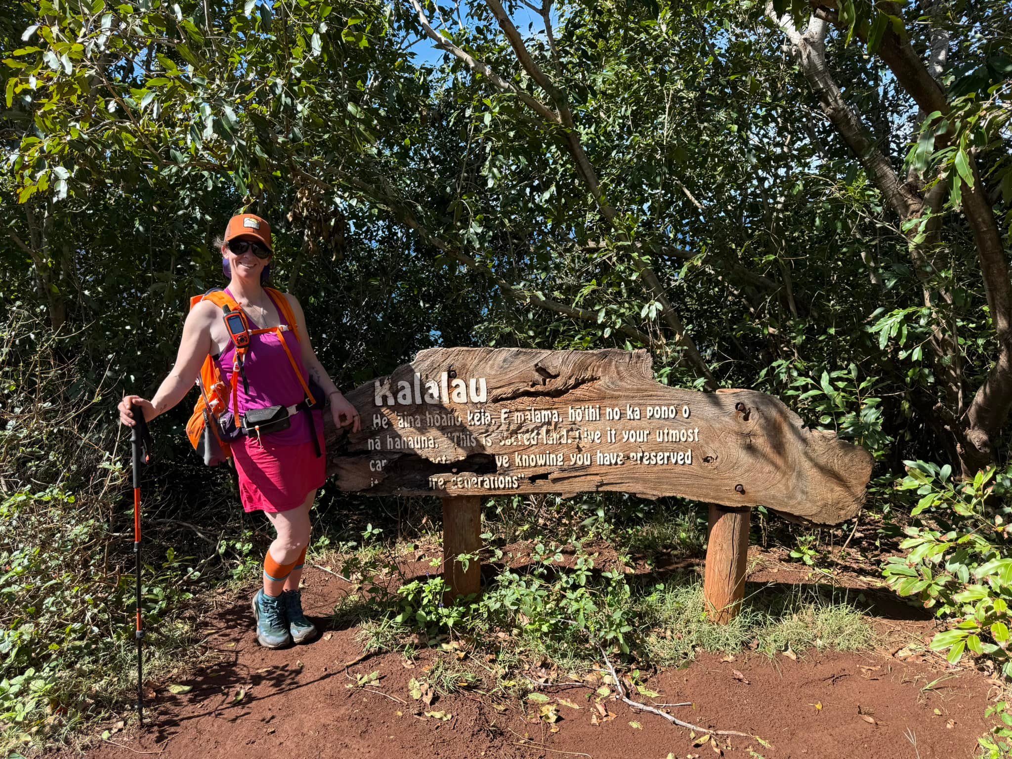
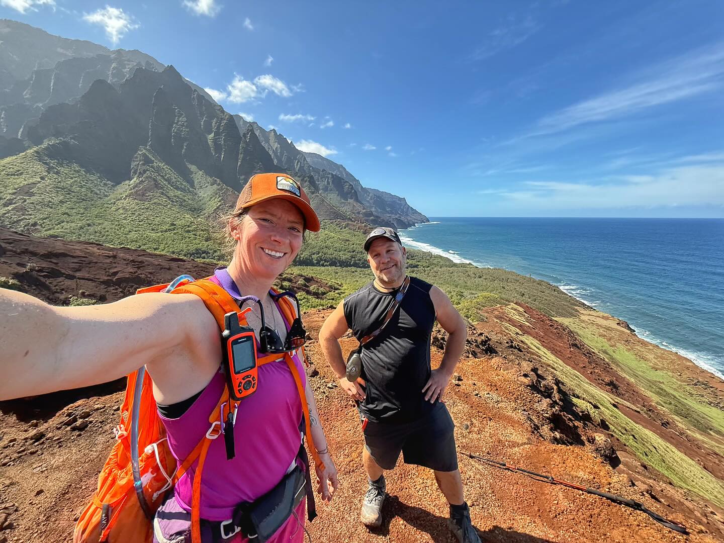
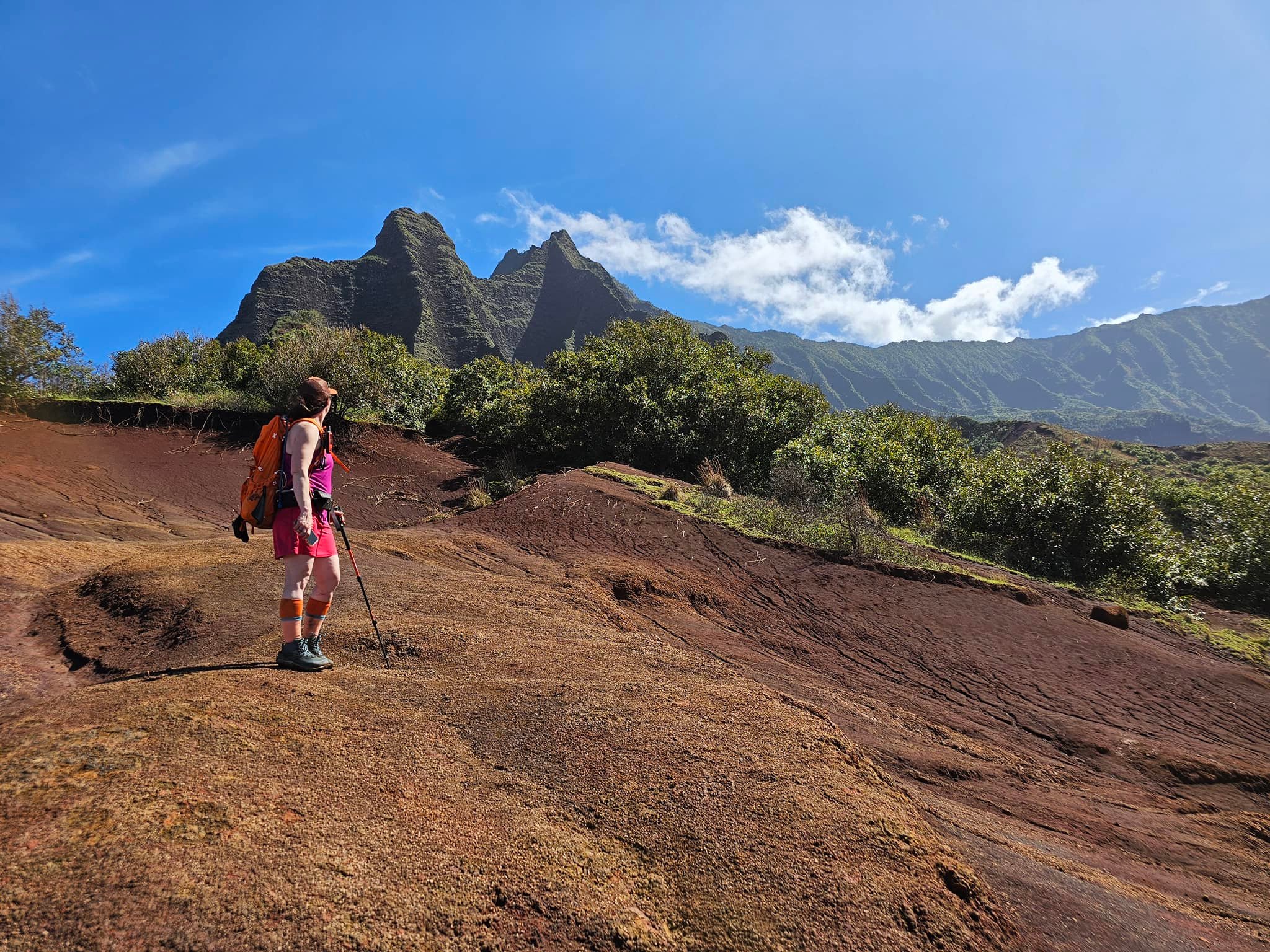
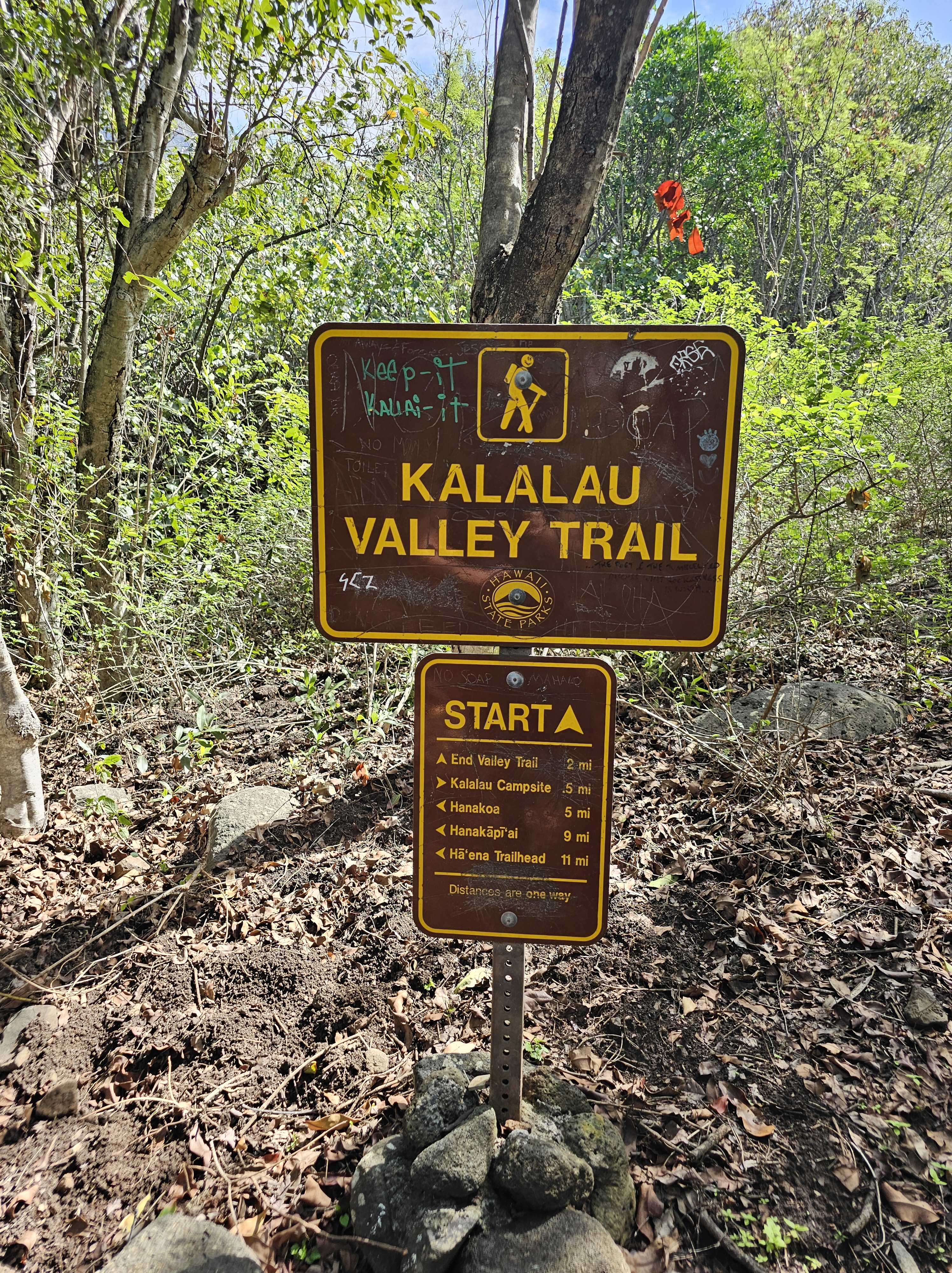
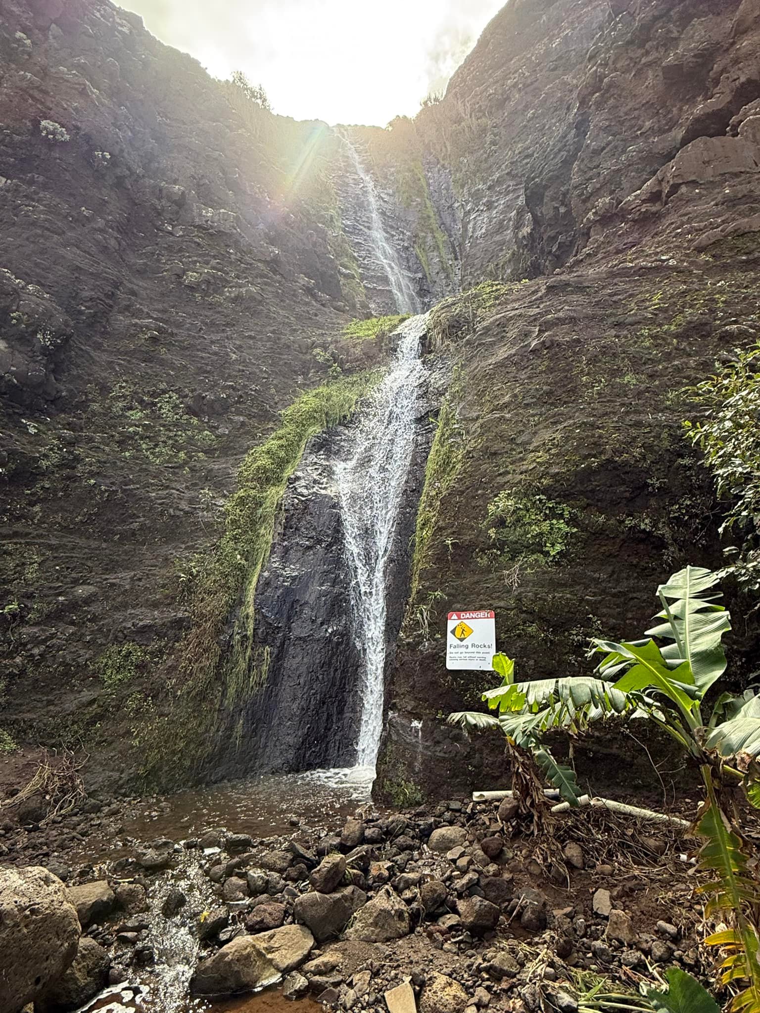
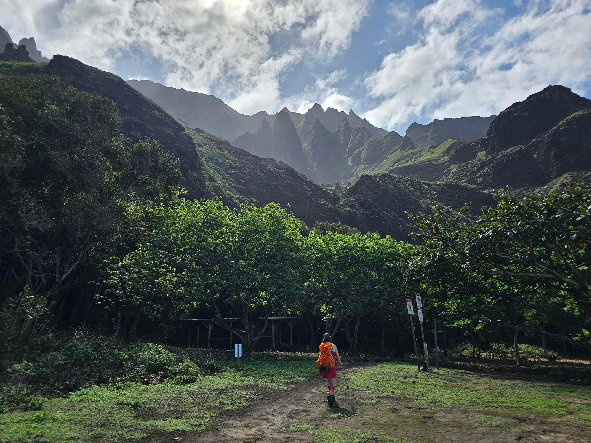
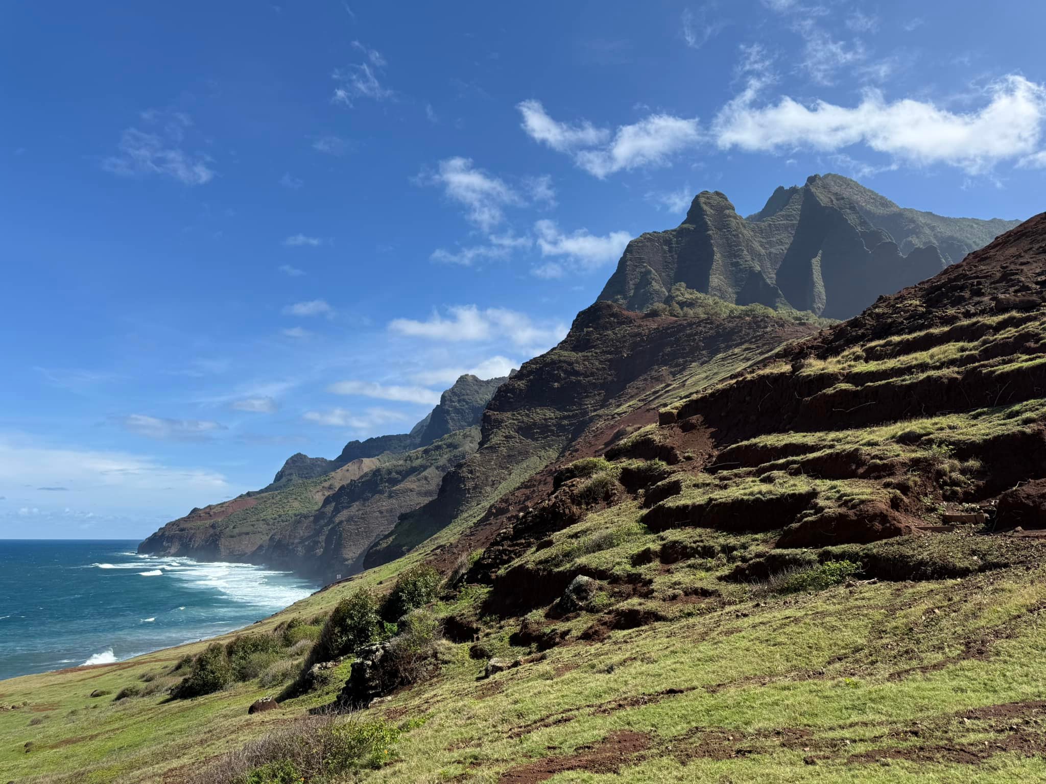
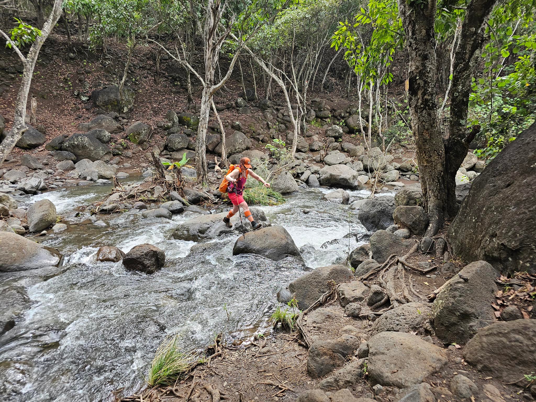
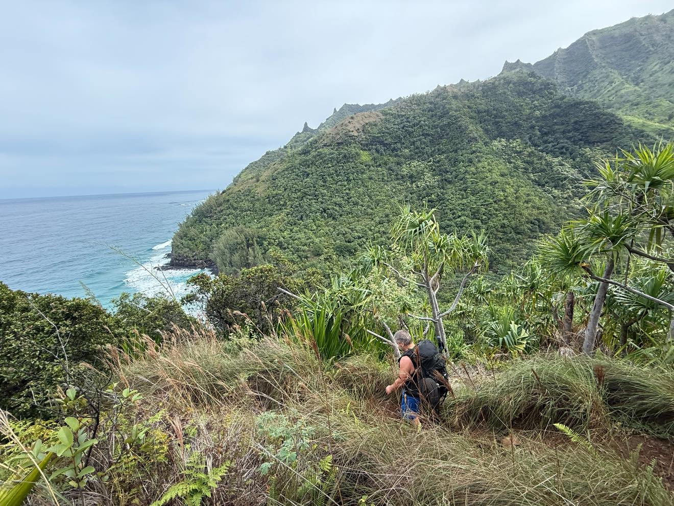
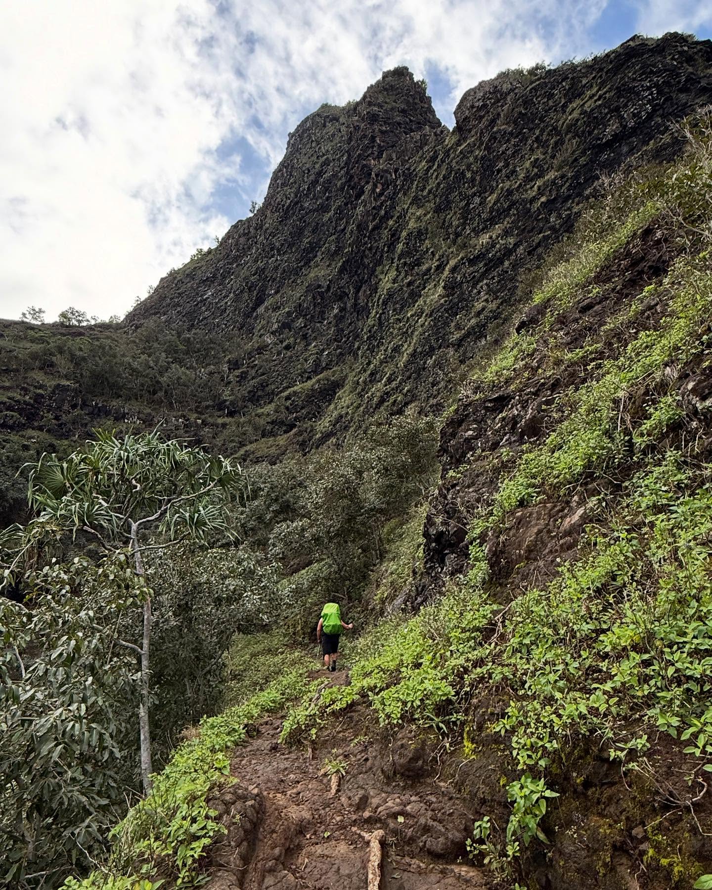
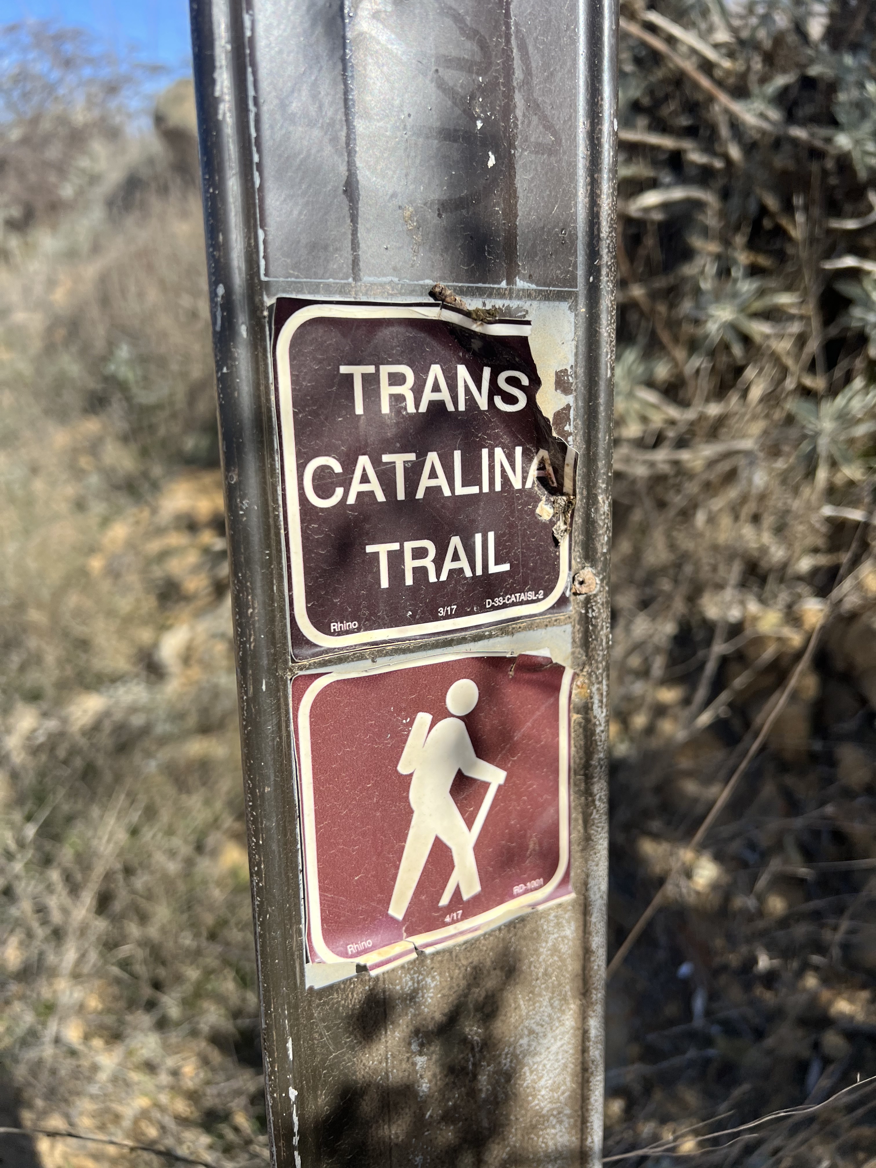
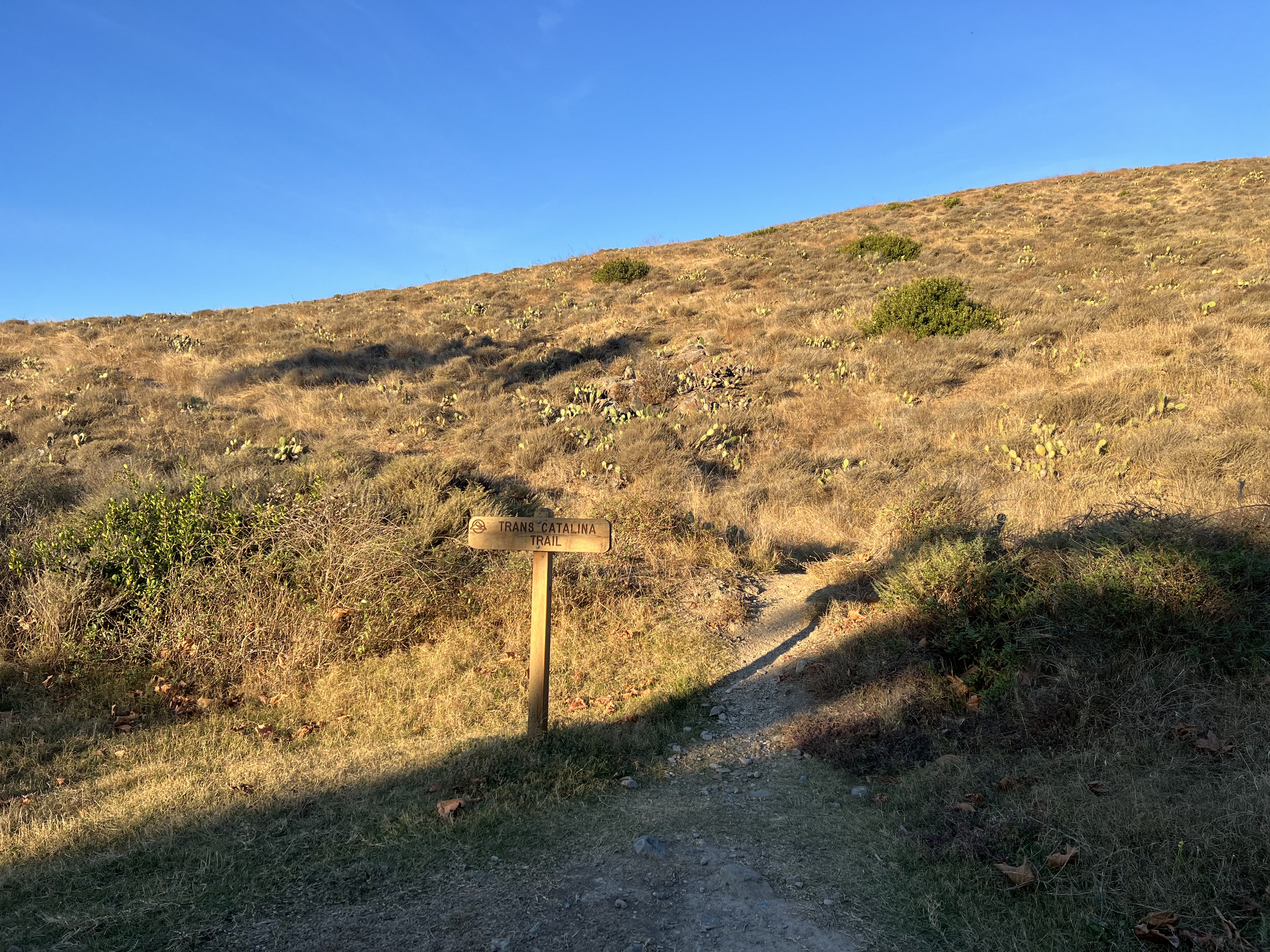
It was summer 2023 and I was ready to make a plan for my next backpacking trip Outside of Alaska. The Kalalau Trail had traumatized me earlier that year, so I was looking for something that would be a bit more mellow as far as danger goes, but with a good challenge of long-distance days and decent elevation gain. A friend suggested the Trans-Catalina Trail and as soon as I started to research, I knew this was the one.
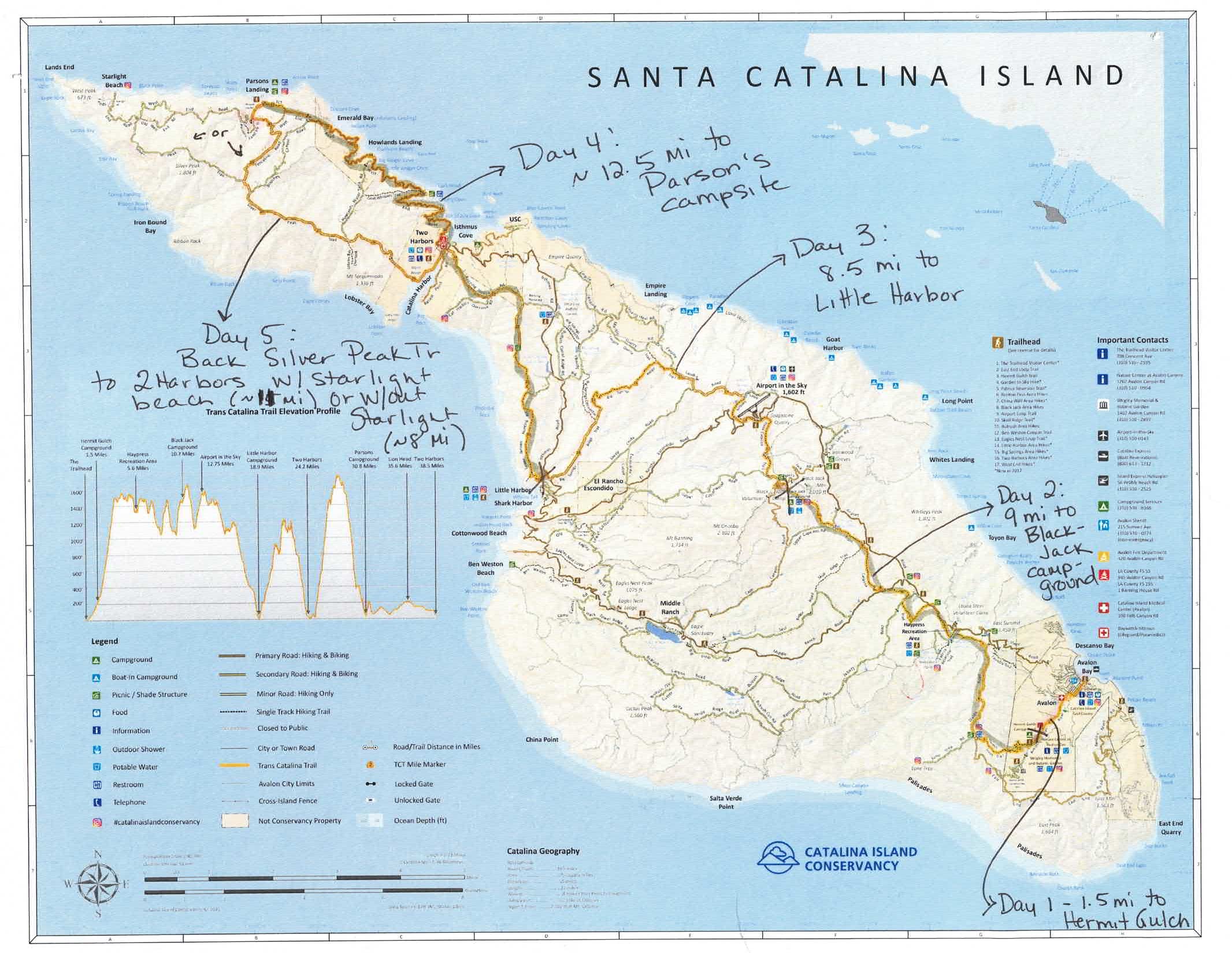
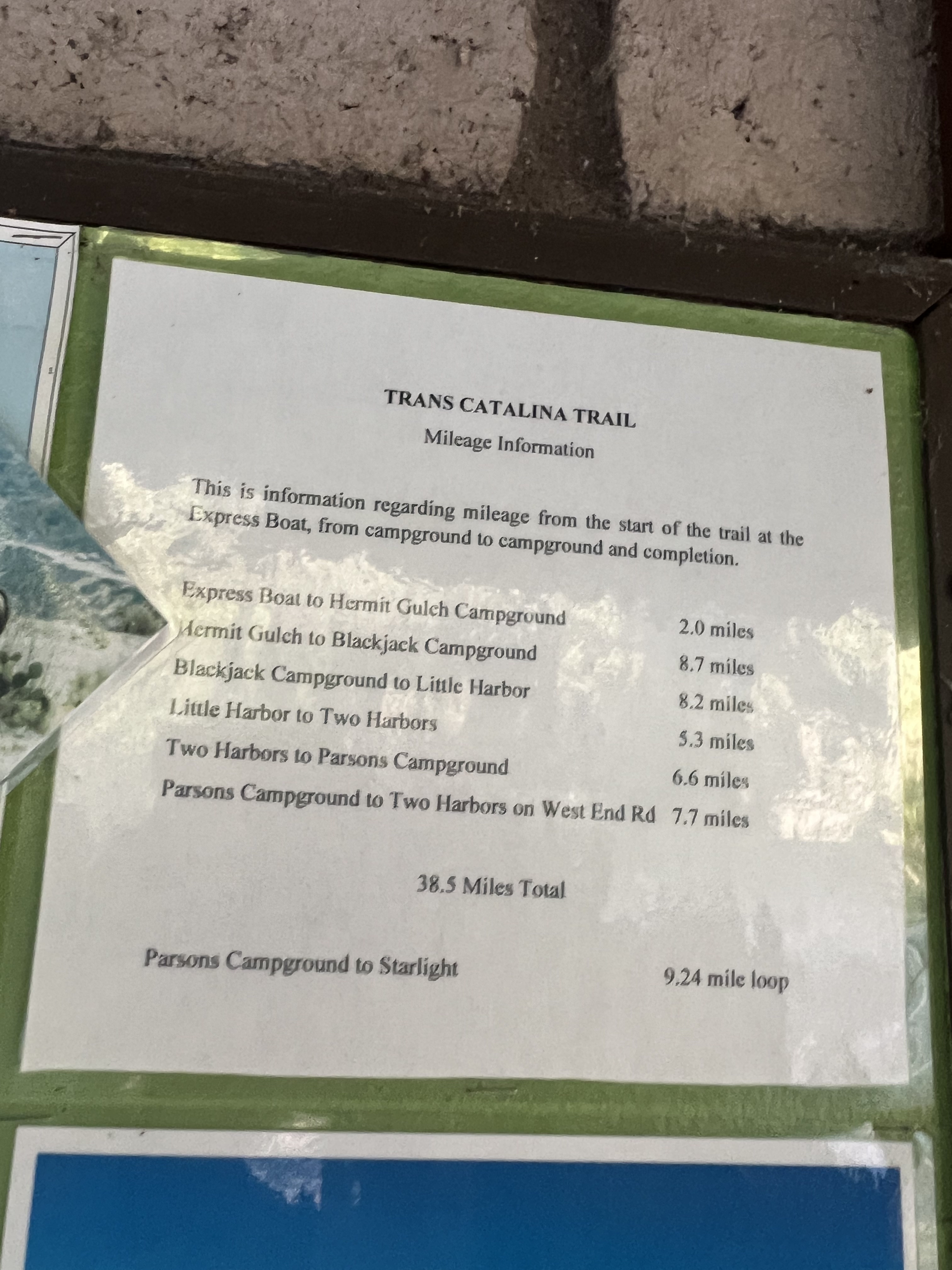
I booked my flights and campsites immediately. I found the process to book campsites pretty straightforward (although it can take some rearranging of dates if you book three sites then your fourth one isn’t available for the day you wanted). I went into the reservation process with a flexible range of dates to ensure I was able to book the itinerary I wanted, and I found that December dates remained pretty wide open. (See “Just the Tips” at the end of this post for more advice on permitting or reach out to me for trip planning assistance).
Then it occurred to me that Jason might want to go. We had done plenty of trips together in Alaska, but we had never traveled Outside together. It didn’t take much convincing and he was in! I called the Catalina Island Company to add a person to my reservations, as well as additional stove fuel, firewood, and water locker at Parson’s. I paid the balance on the phone and received a receipt immediately. It was so nice to have a person answer the phone and help me with what could have been a tortuous process.

Travel DAy
Alaska → Los Angeles → Catalina Island → Hermit Gulch Campground
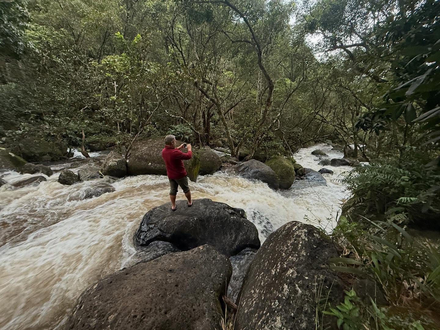
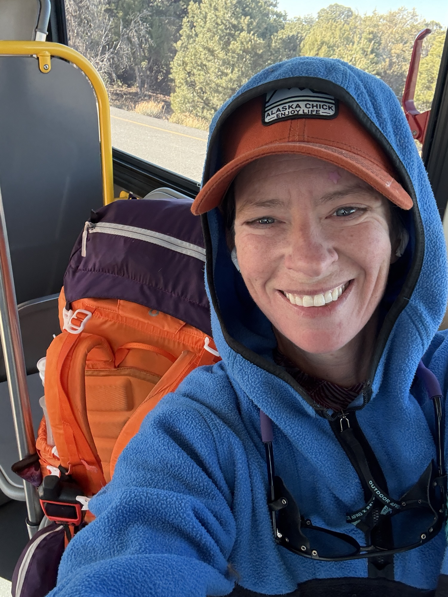
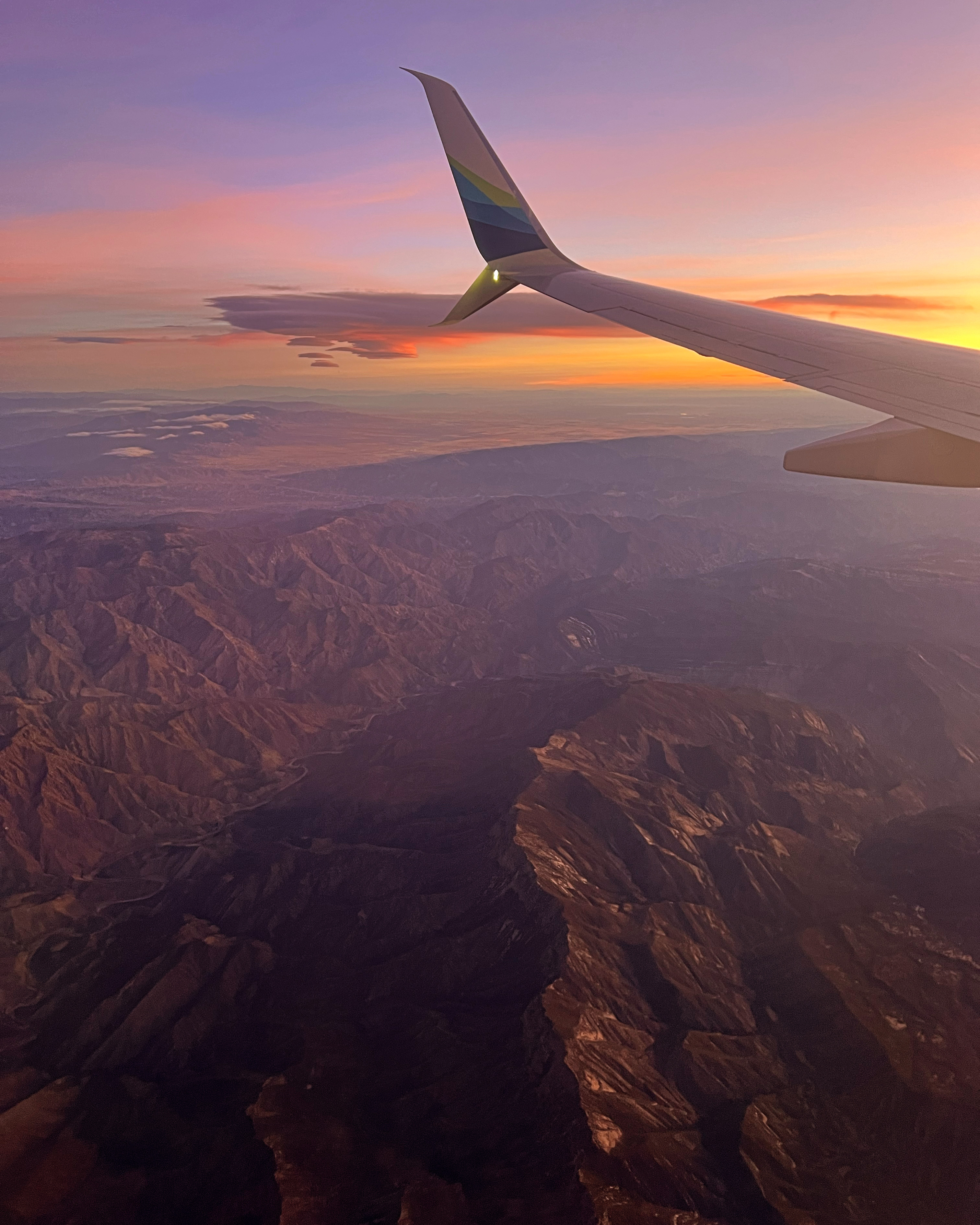
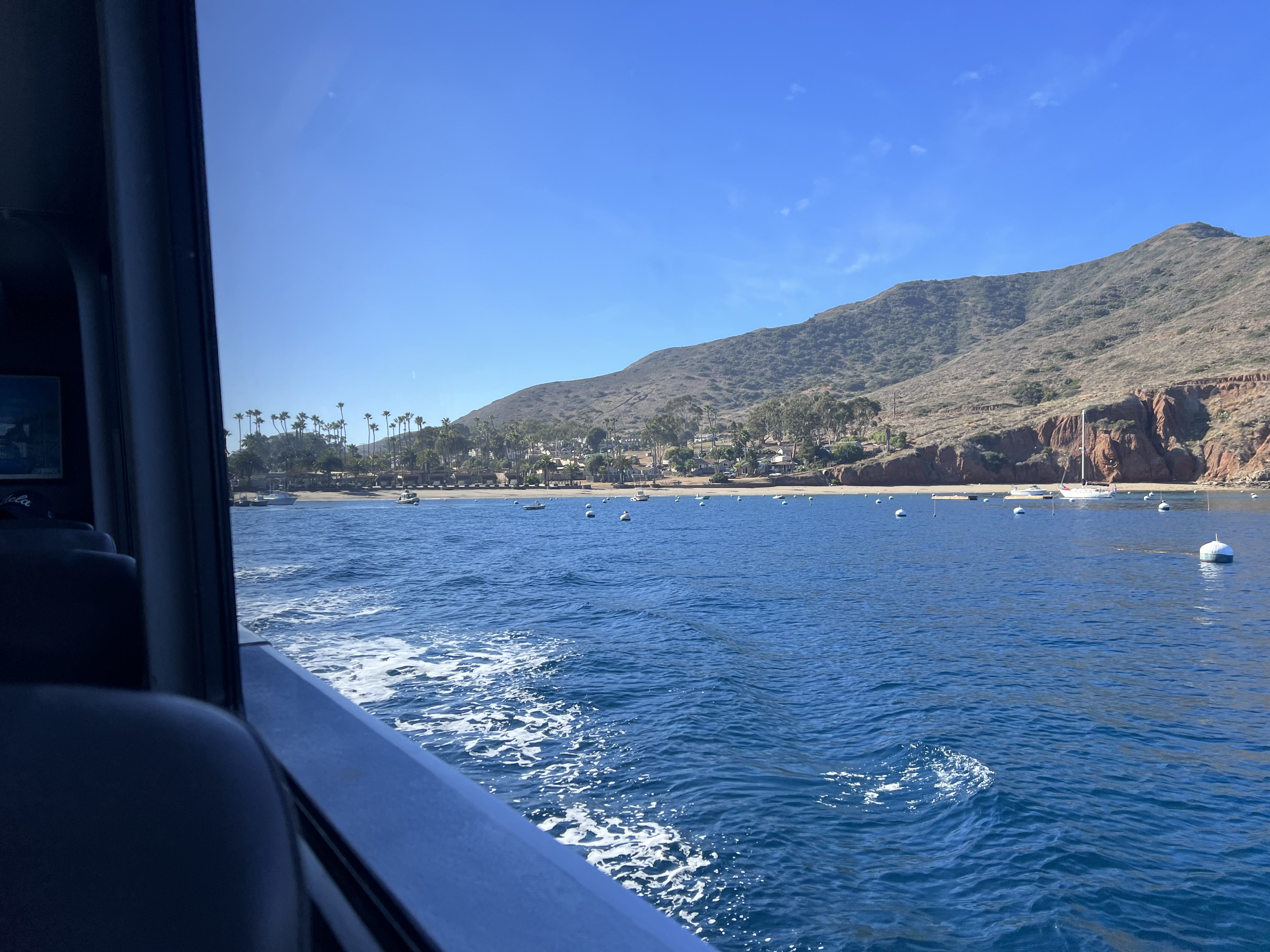
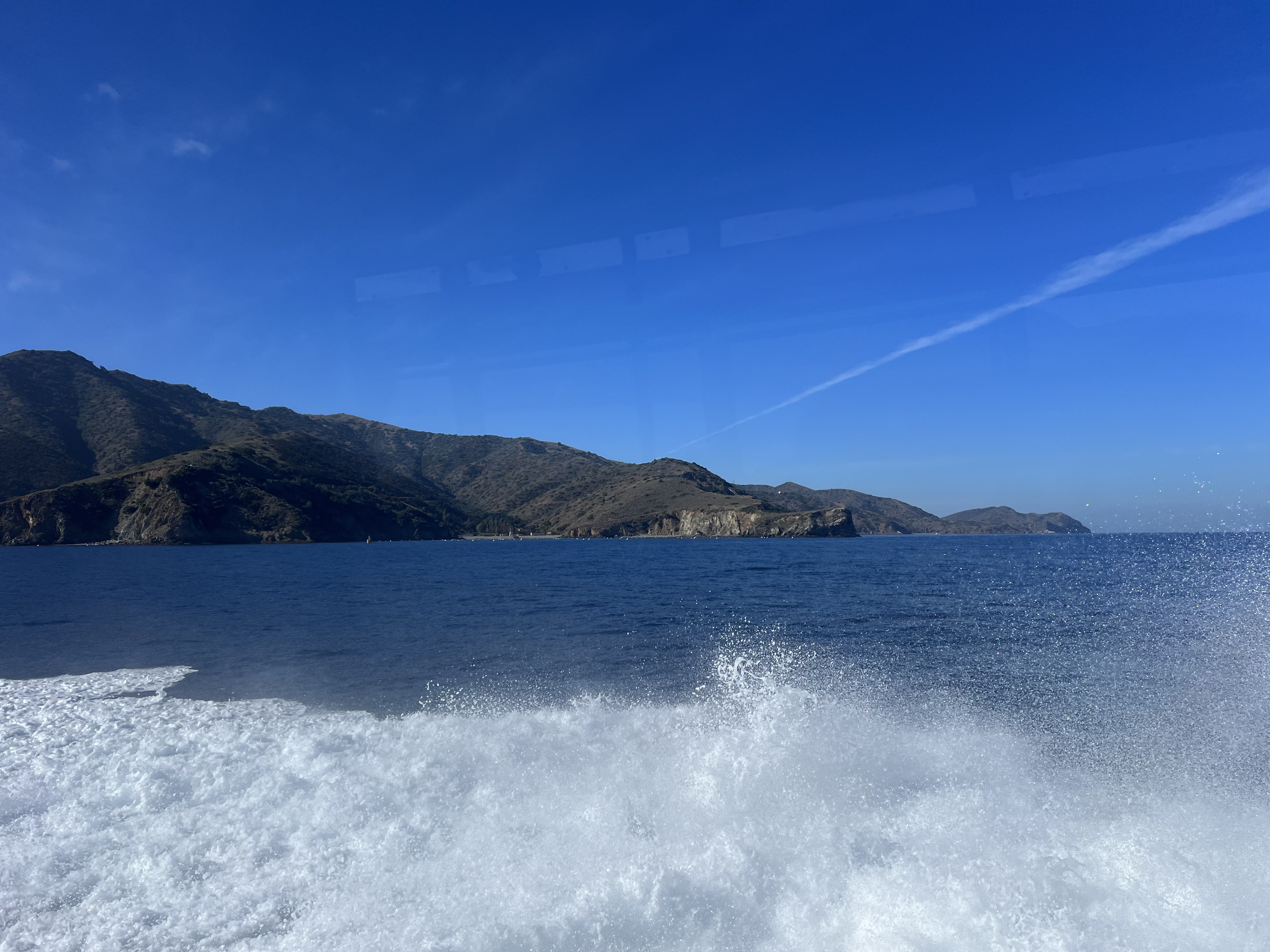
We left Alaska on a red eye, flying direct to LA, and touched down early morning. We had an Uber lined up to bring us to the Catalina Express Ferry at the Long Beach Port and got there in plenty of time to go through our gear and relax by the harbor. This sunny, warm weather was a far cry from snowy, cold Alaska. By noon we were on our way, watching dolphins race our boat, the catamaran comfortable even in choppy seas.
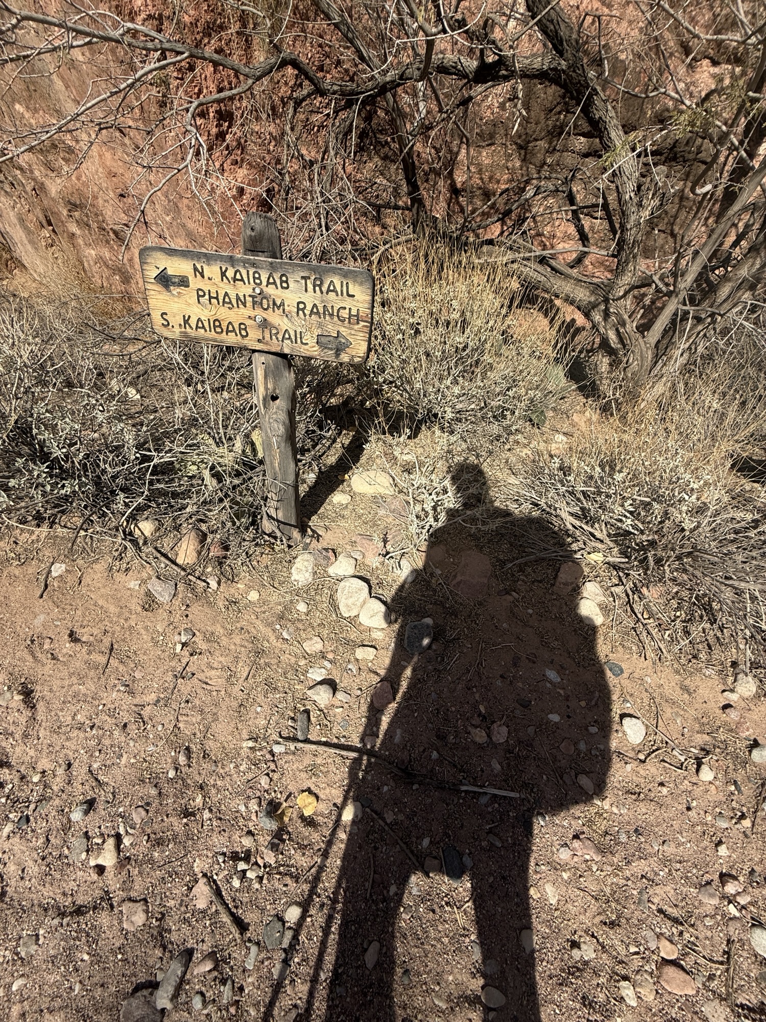
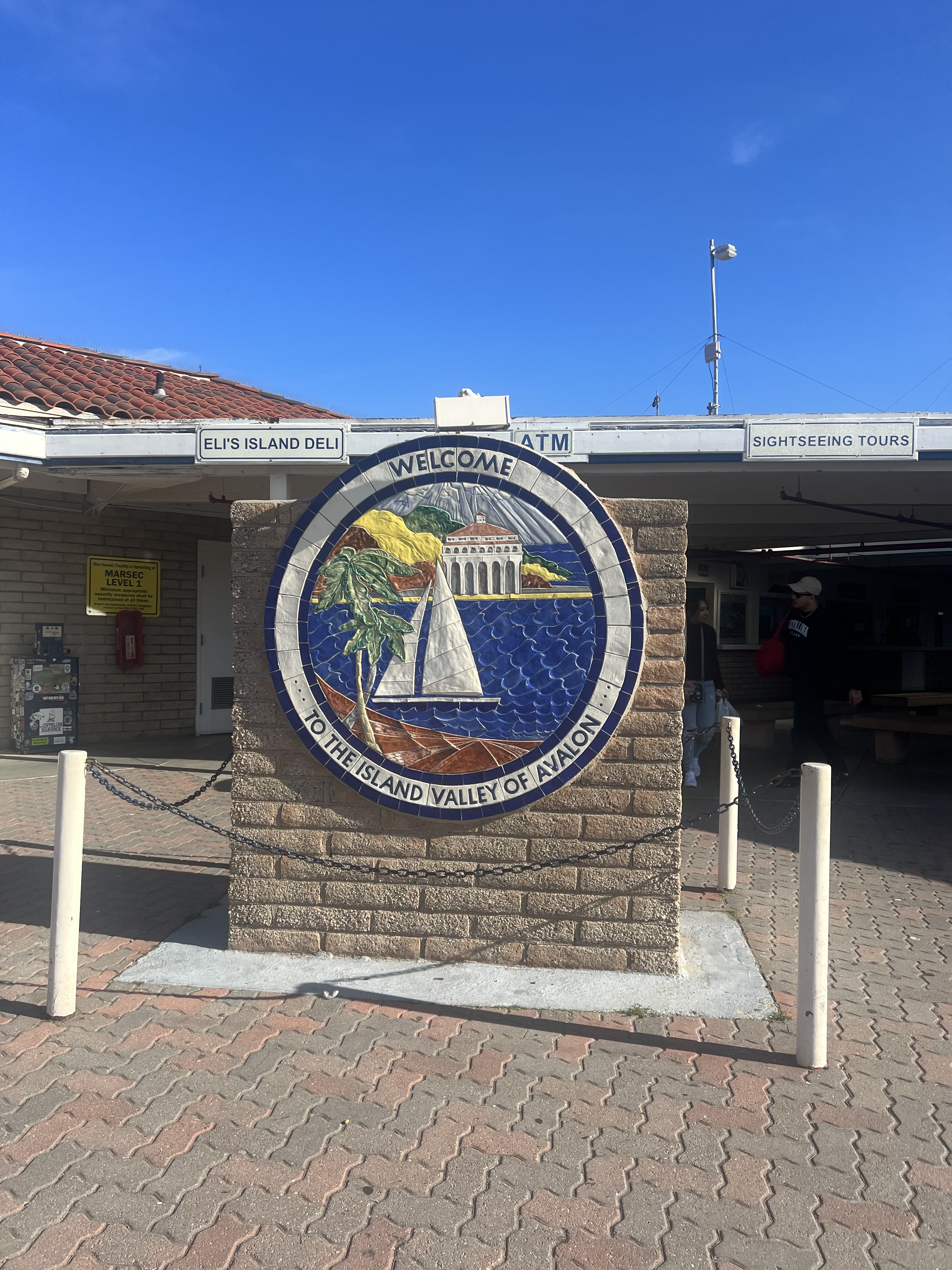
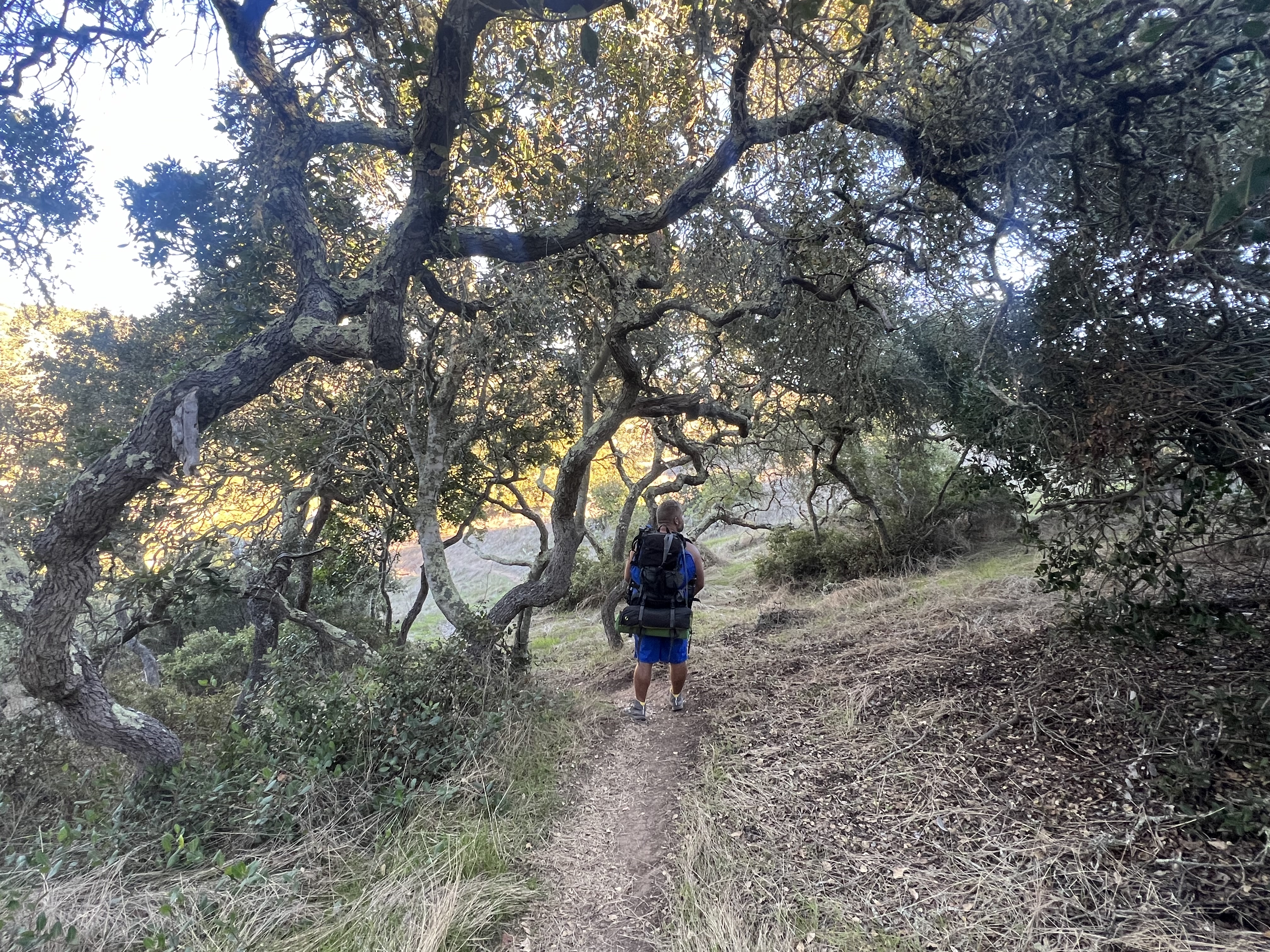
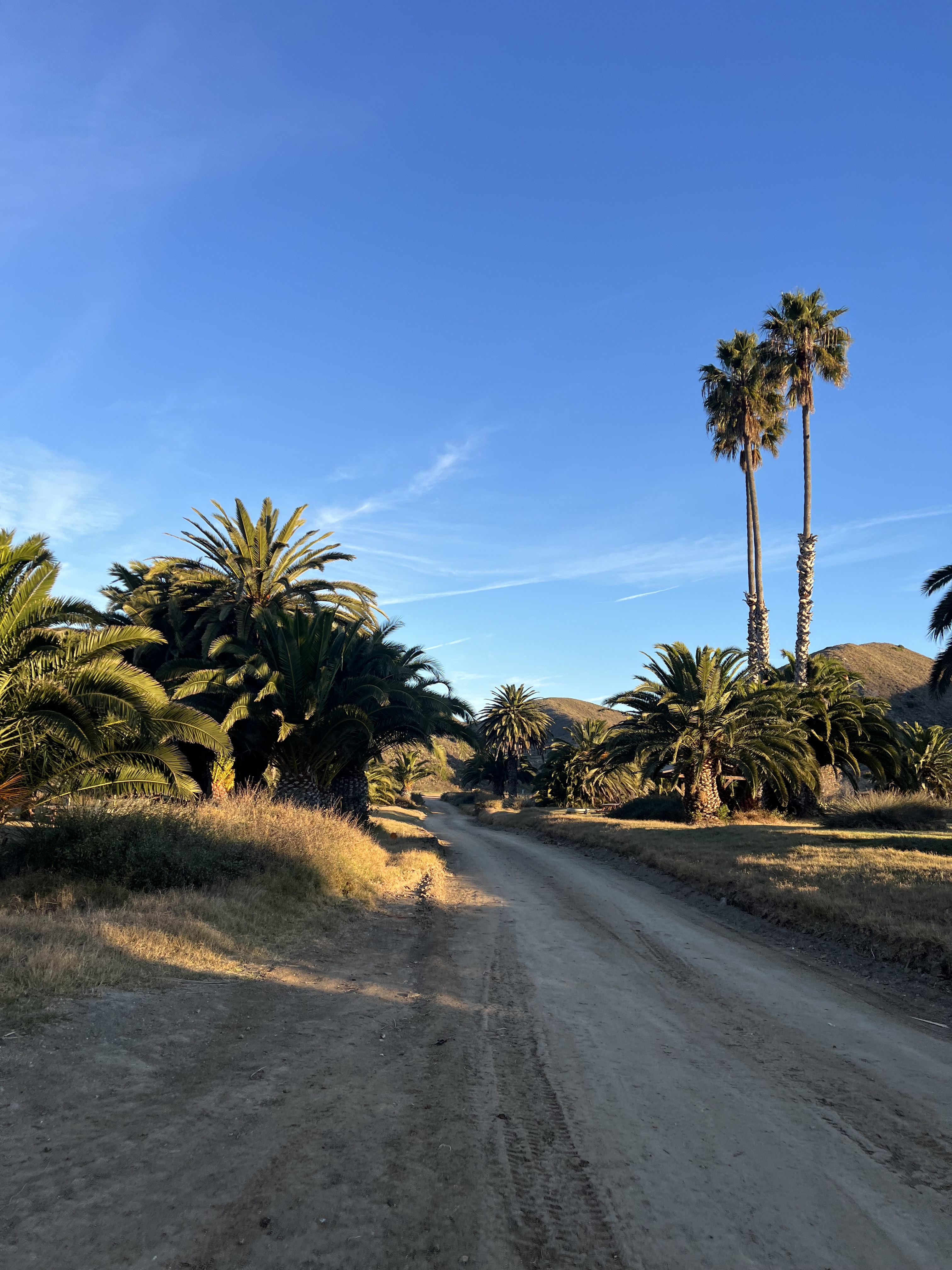
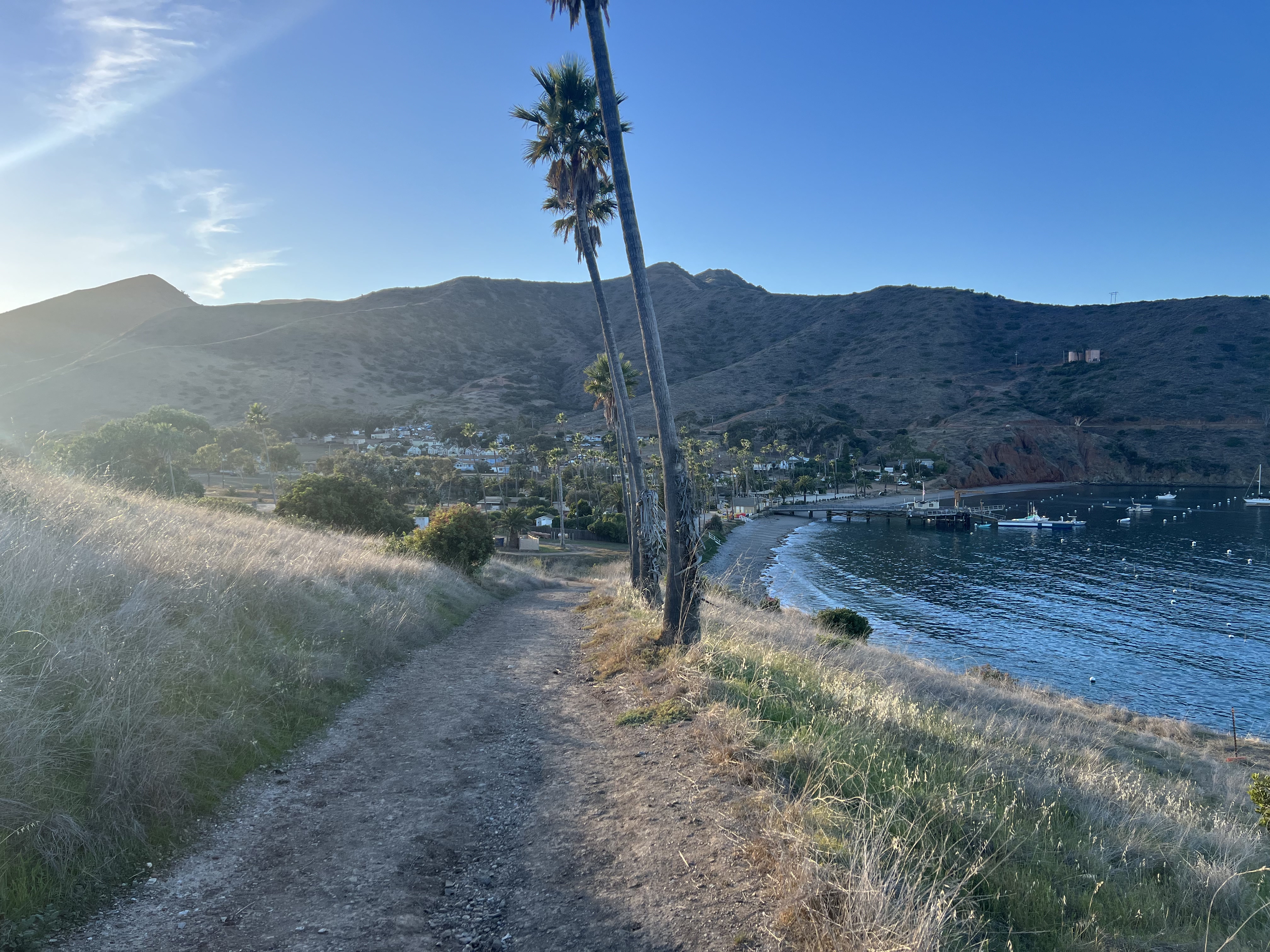
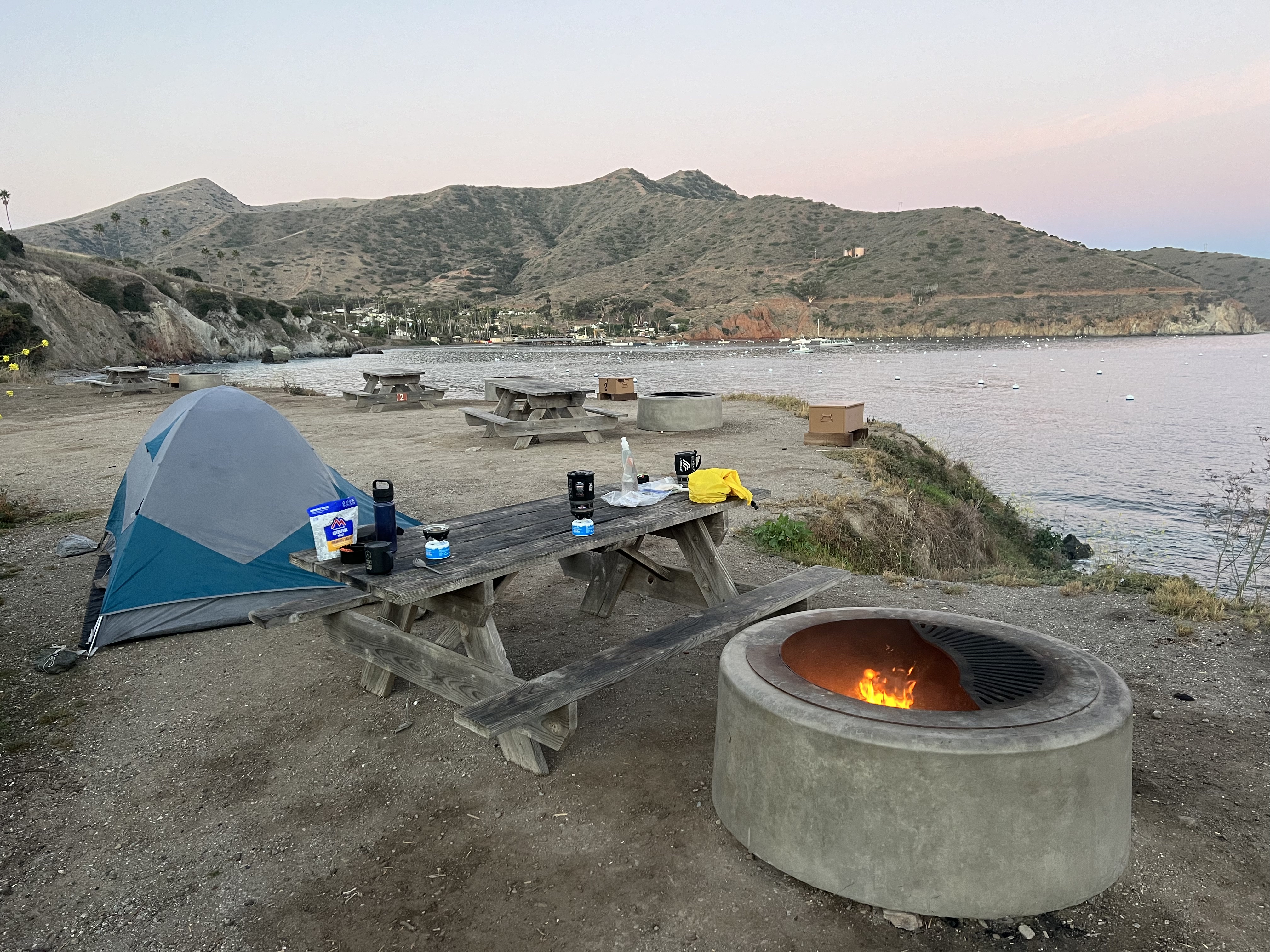
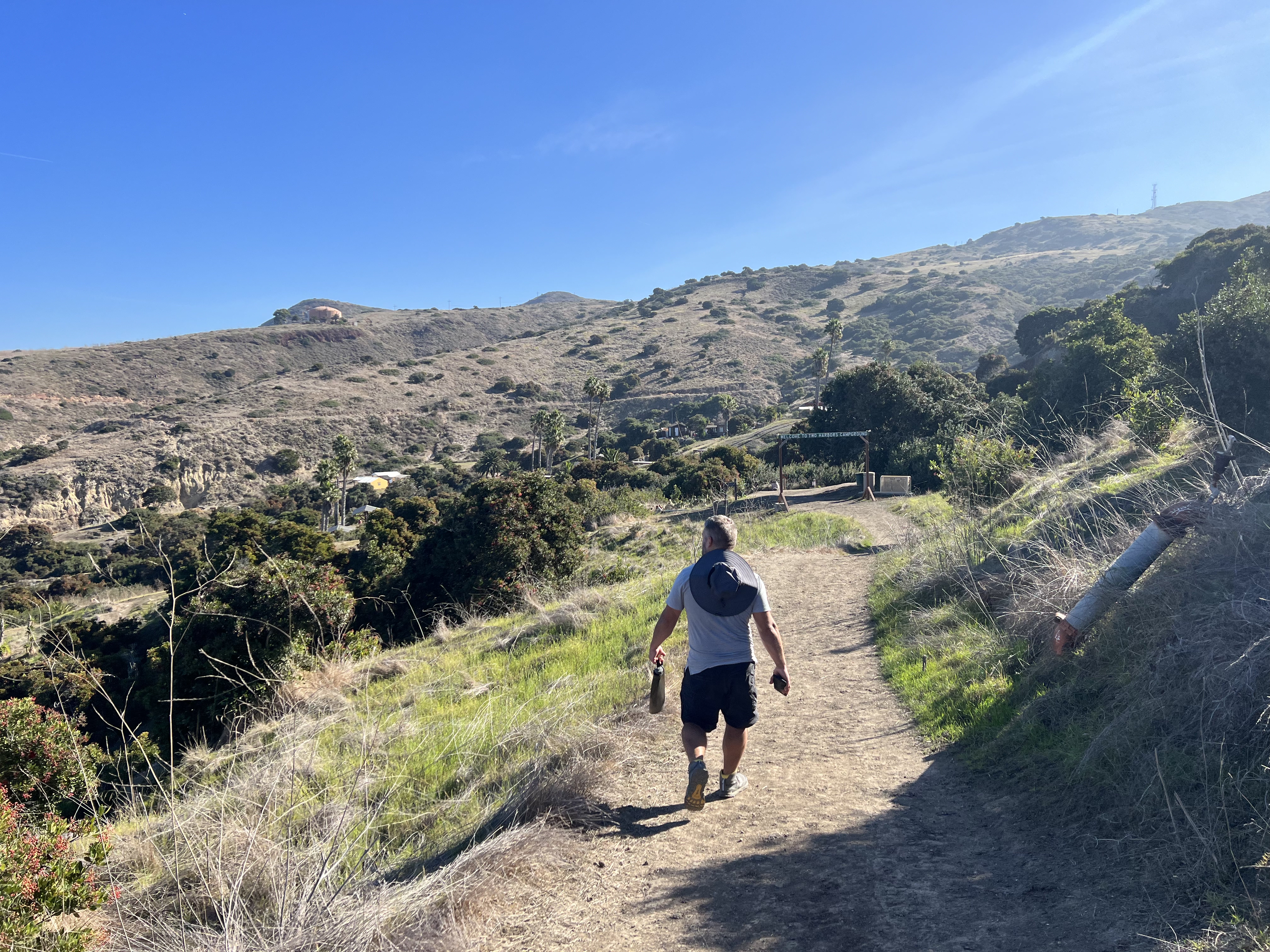
An hour and a half later we pulled into Avalon, and if you didn’t know it, you’d think you were in Greece, with architecture, climate and scenery reminiscent of the European latitude equivalent. Disembarking, we traded our flip flops for hiking shoes, as we had a two-mile hike to get to Hermit Gulch Campground, our first overnight on the TCT. We walked through town, a myriad of tourist gift shops and fine art galleries, and Jason found a wide brimmed hat to keep his face out of the sun.
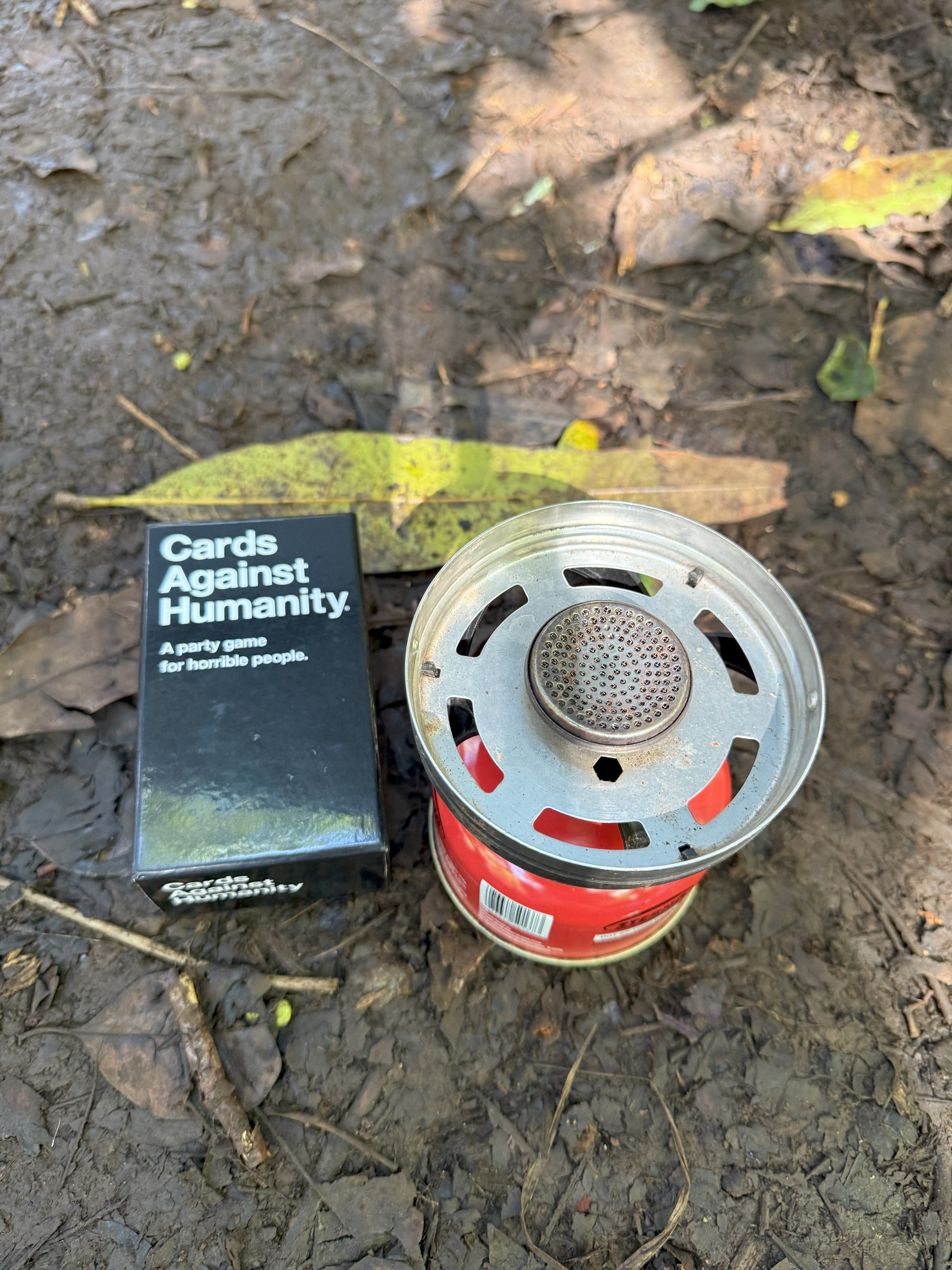
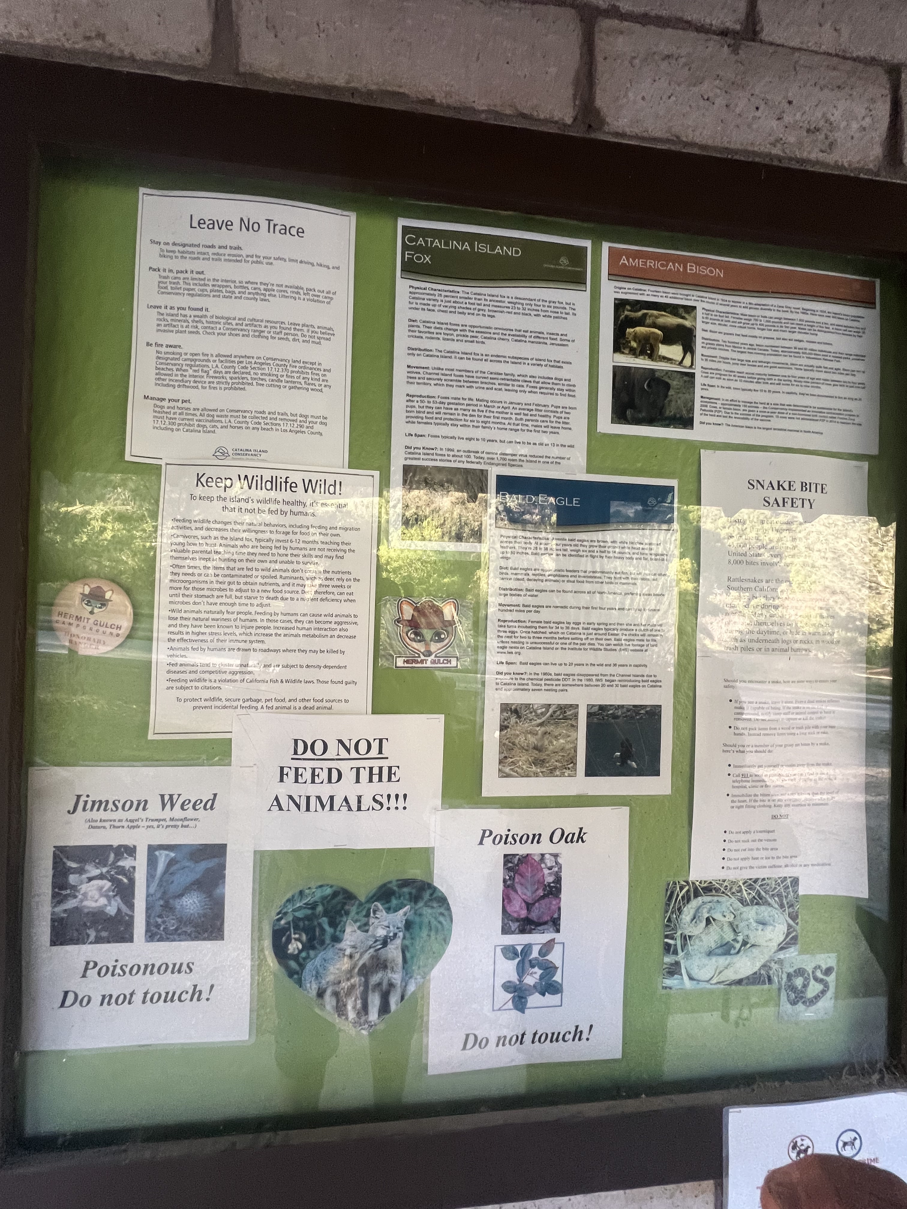
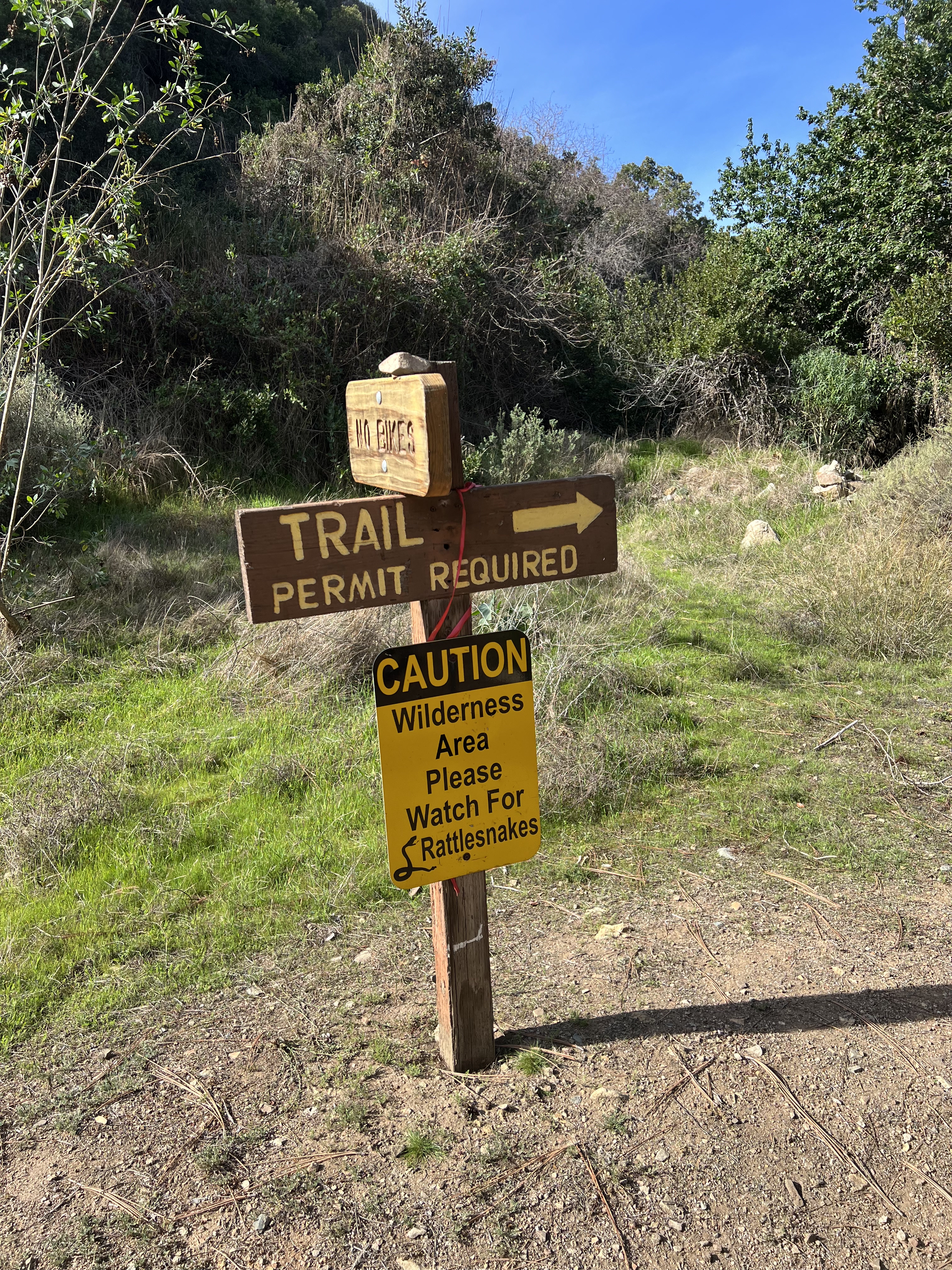
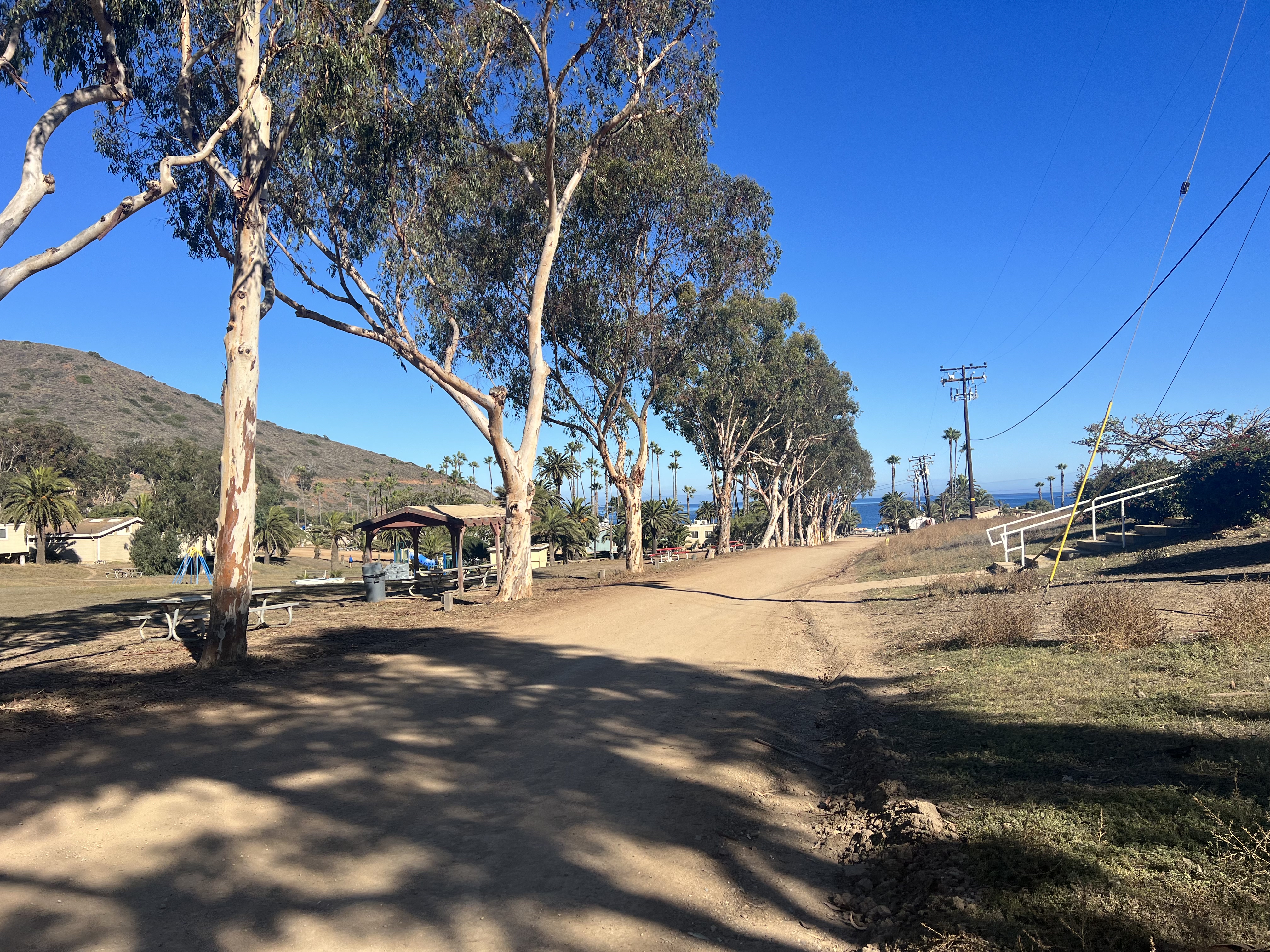
Walking past a very bougie golf course and multi-million-dollar island cottages, we soon found ourselves entering a beautifully treed campground, almost completely devoid of other campers. We found our reserved site and set up quickly, our pre-ordered stove fuel would be available to us shortly; firewood was not offered as fires are prohibited at this campground. While waiting for the attendant at the supply kiosk, I read through the notice board, taking special note of the “Snake Bite Safety” flyer. At least Kalalau didn’t have snakes, although it was unlikely in this “cold” weather (mid-60’s), that they would be a bother to us.

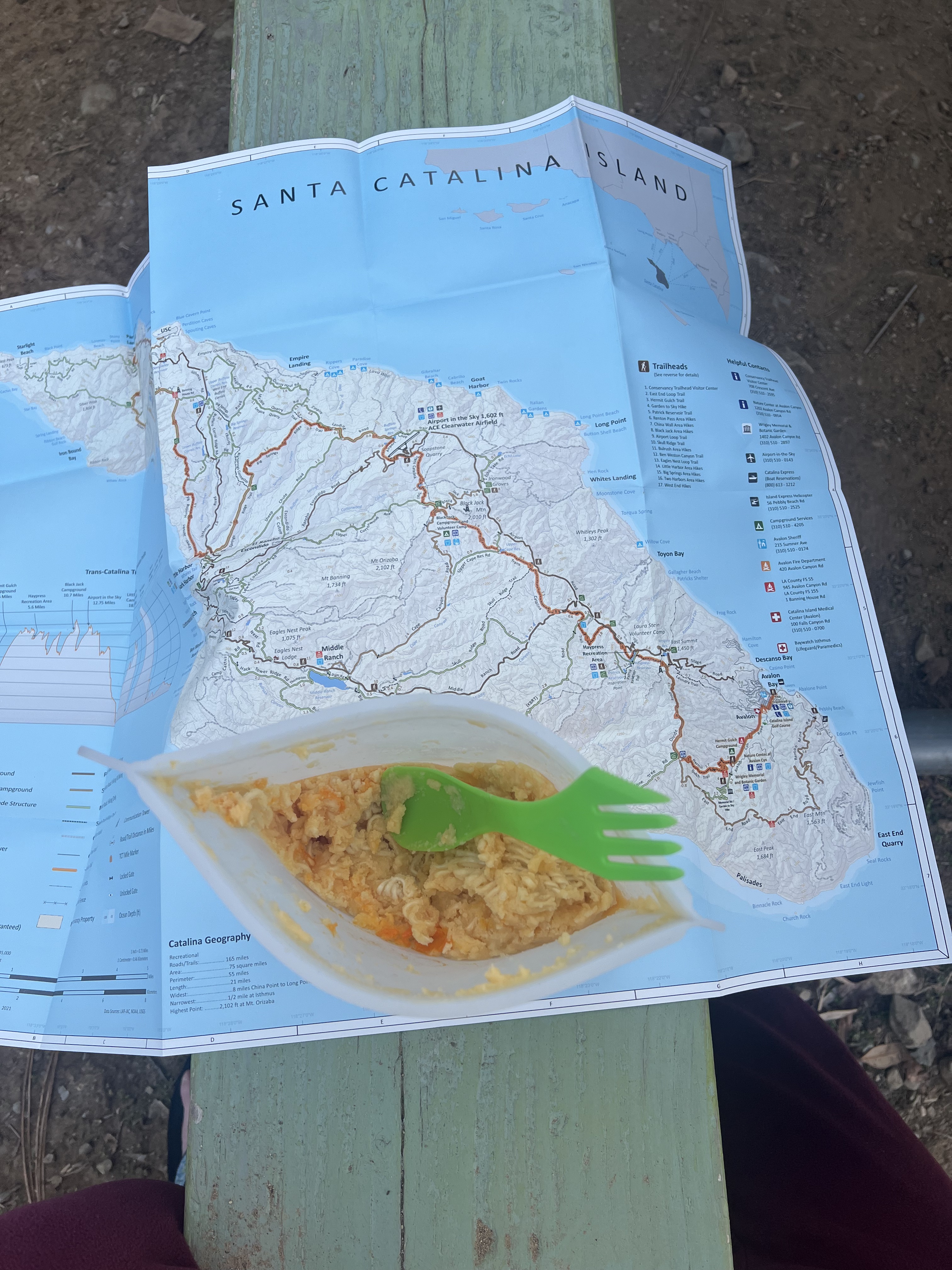
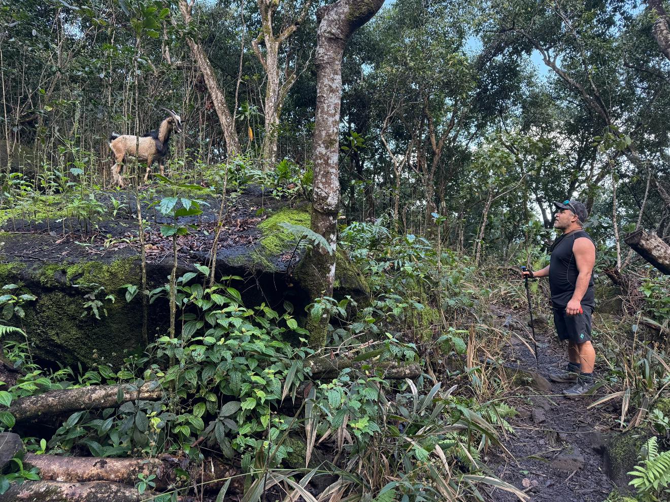
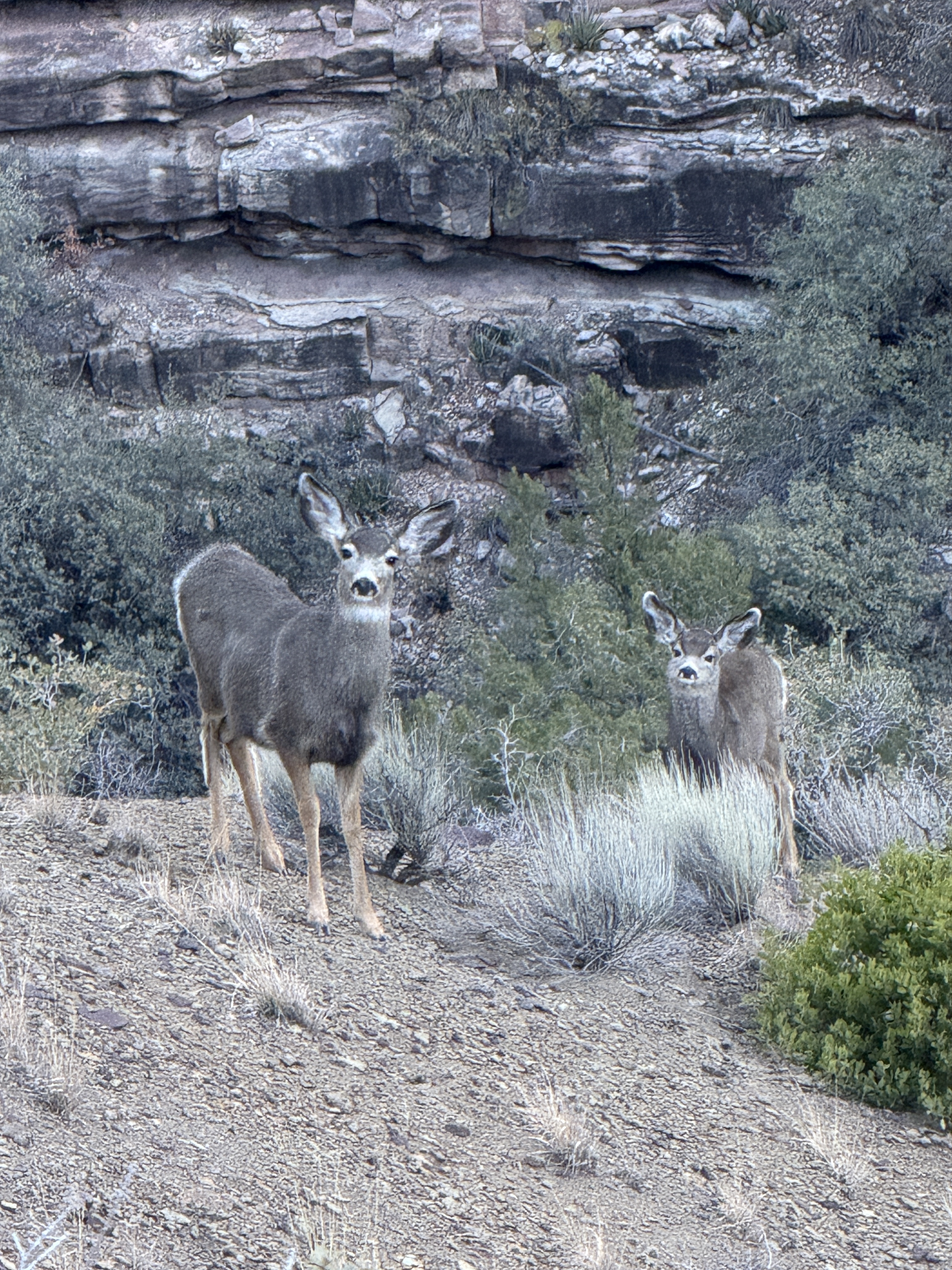
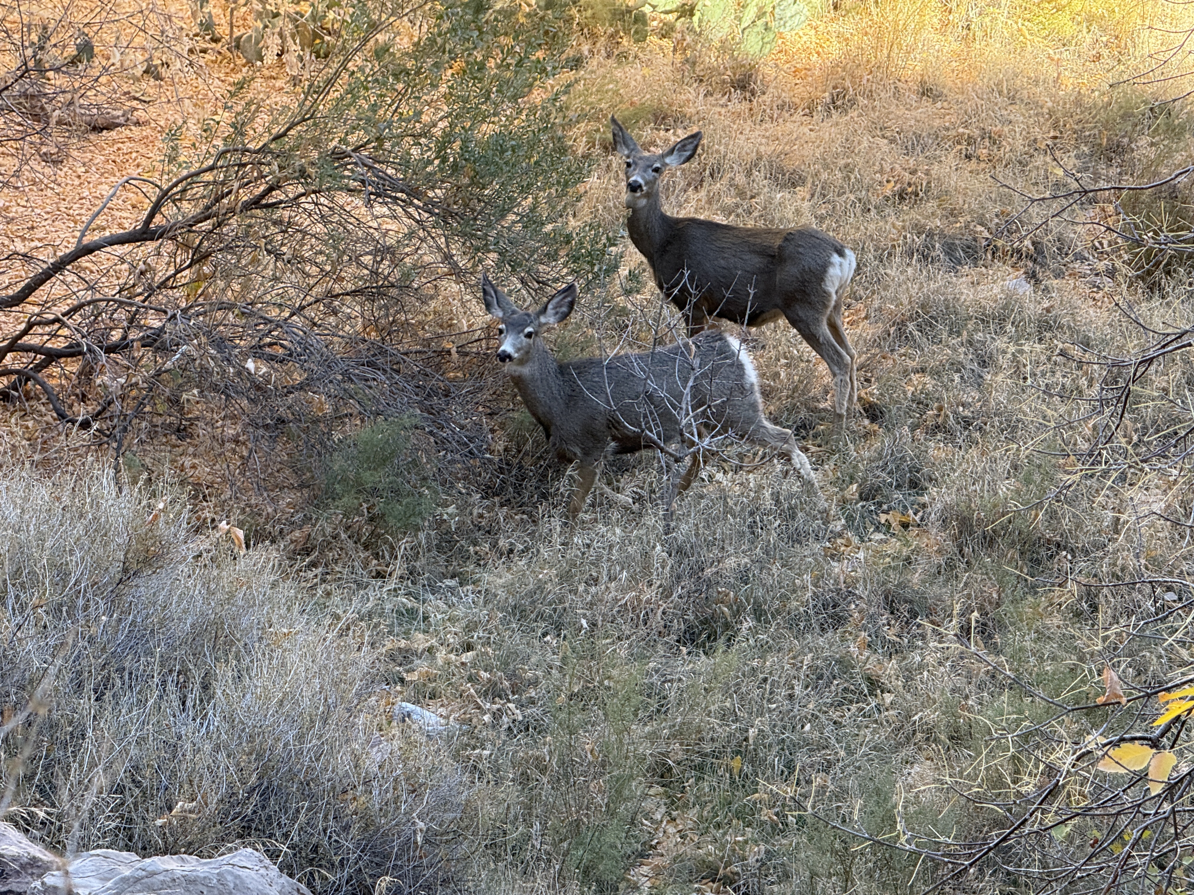
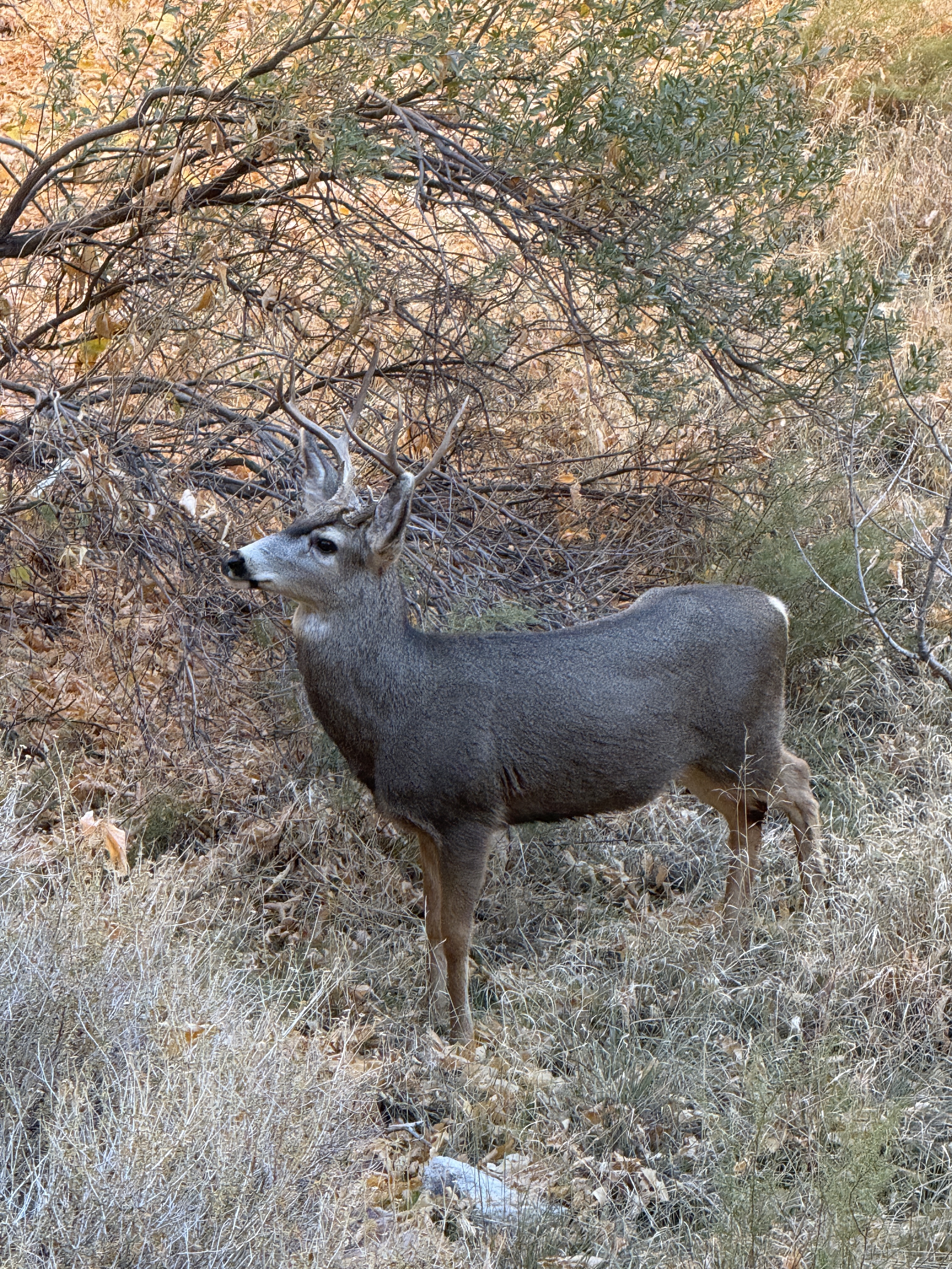
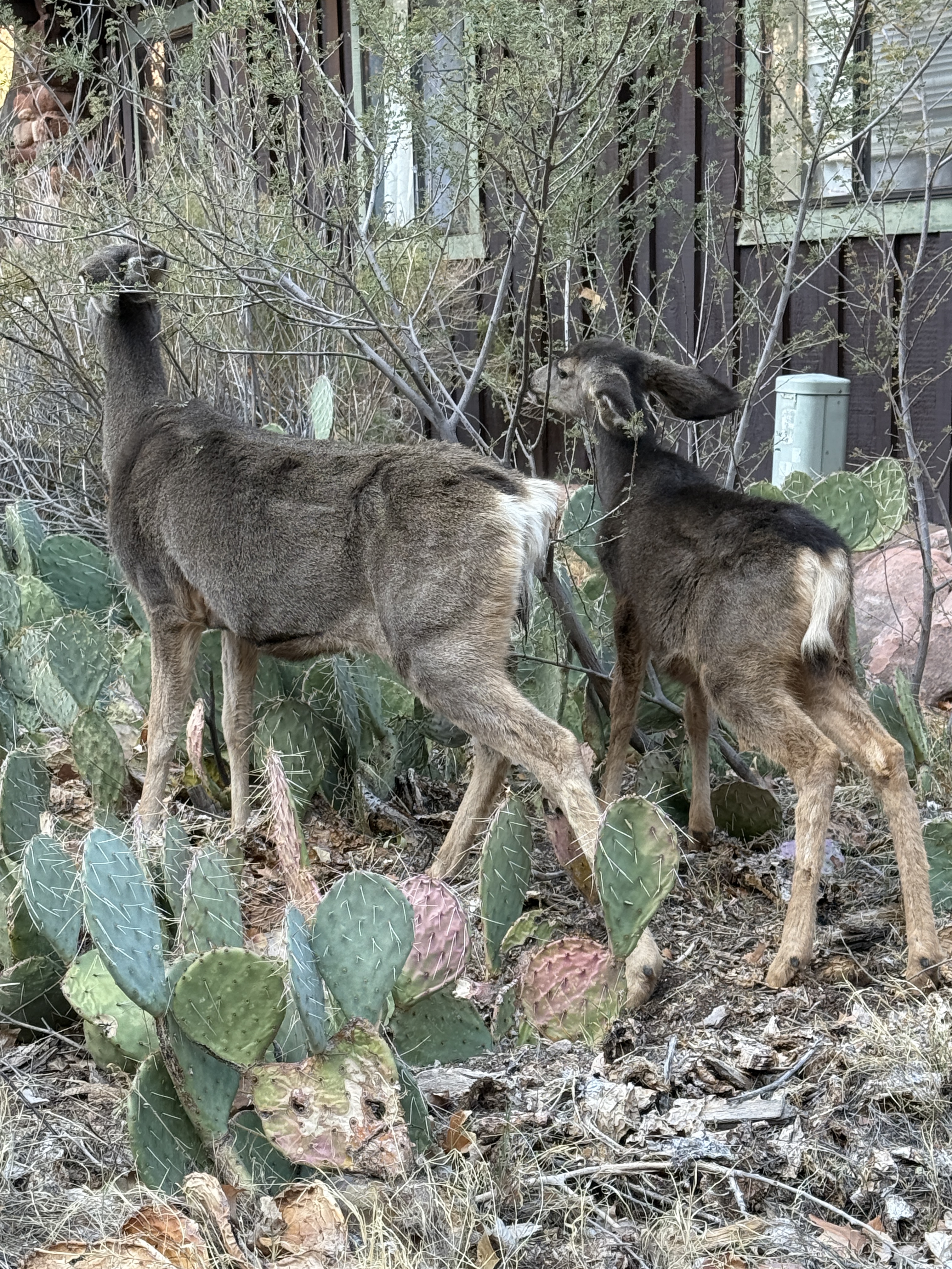
Fueled up, we made ourselves dinner and coffee. I was eating my ramen and powdered potato favorite, AKA a Ramen Bomb, when the neighboring campers started making wild hand gestures and shushing us. I was so confused, until I looked behind me and saw a mule deer buck munching away on the grass. I knew there would be a lot of wildlife here, but didn’t expect to see it so soon!
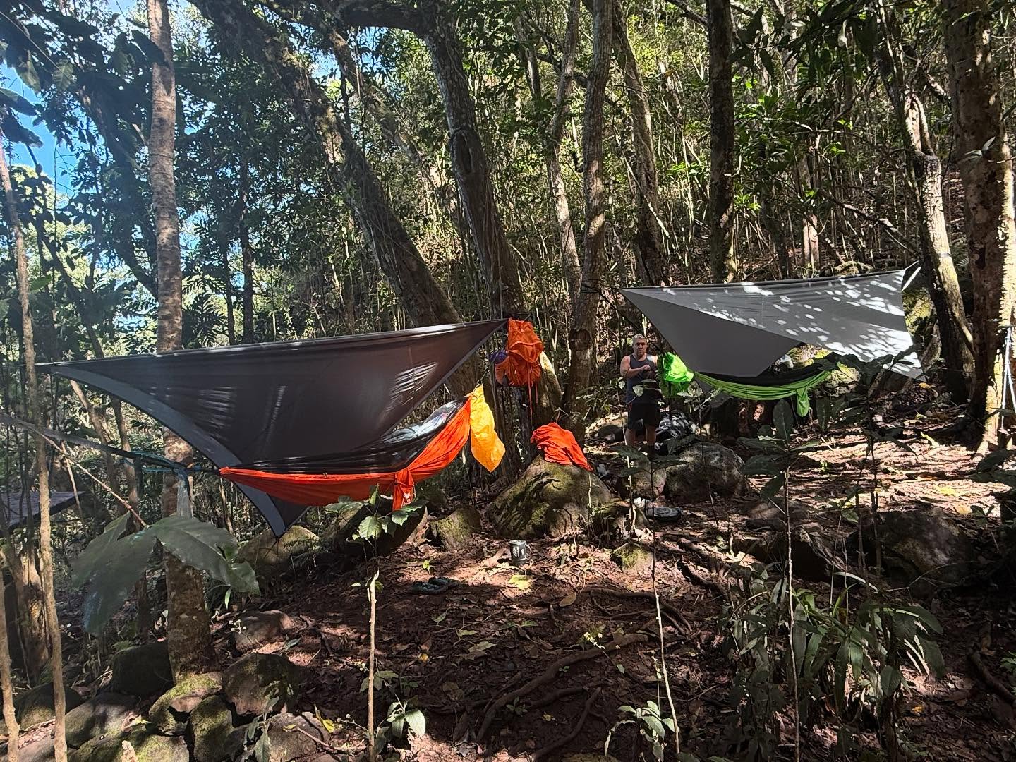
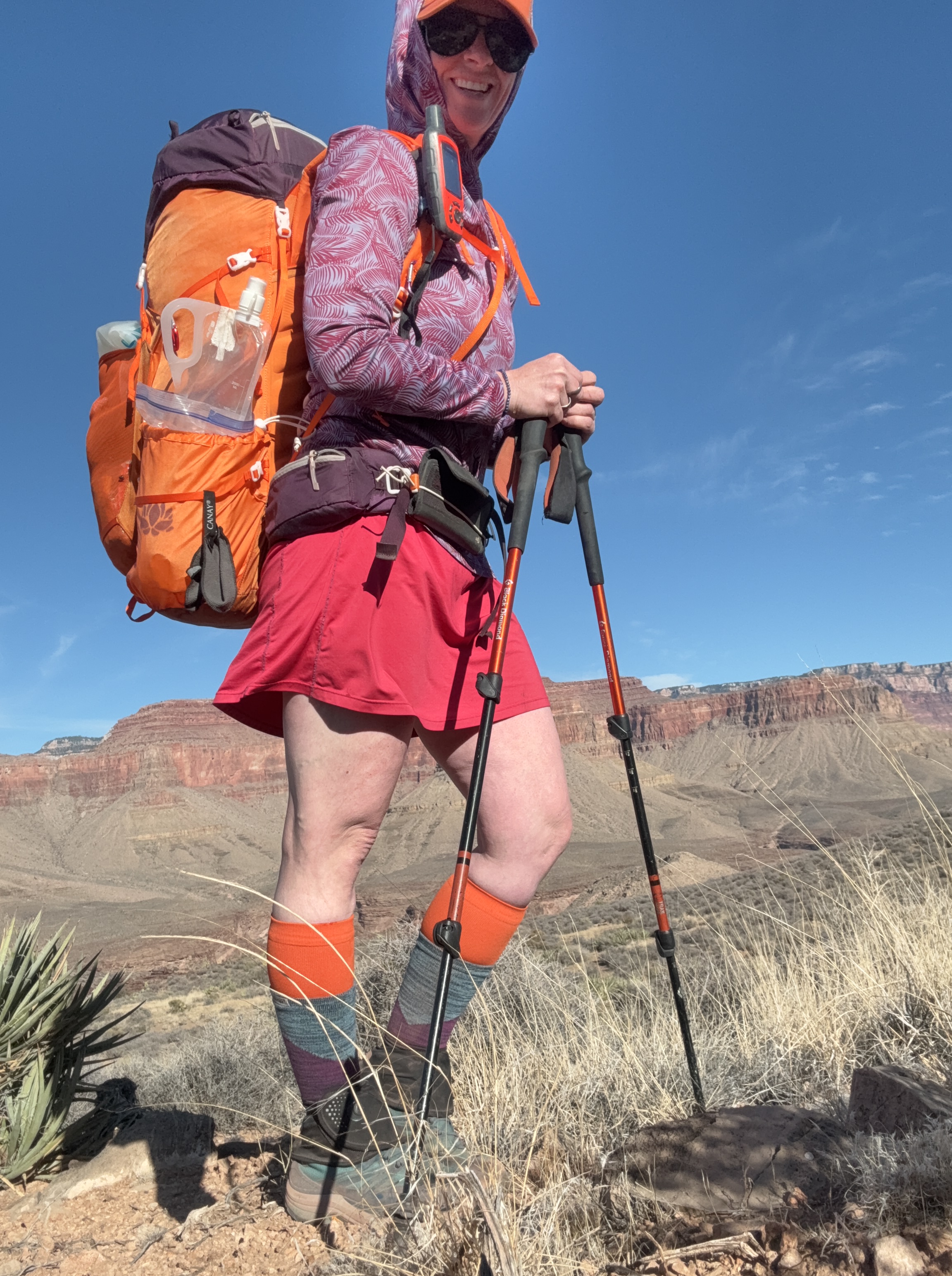
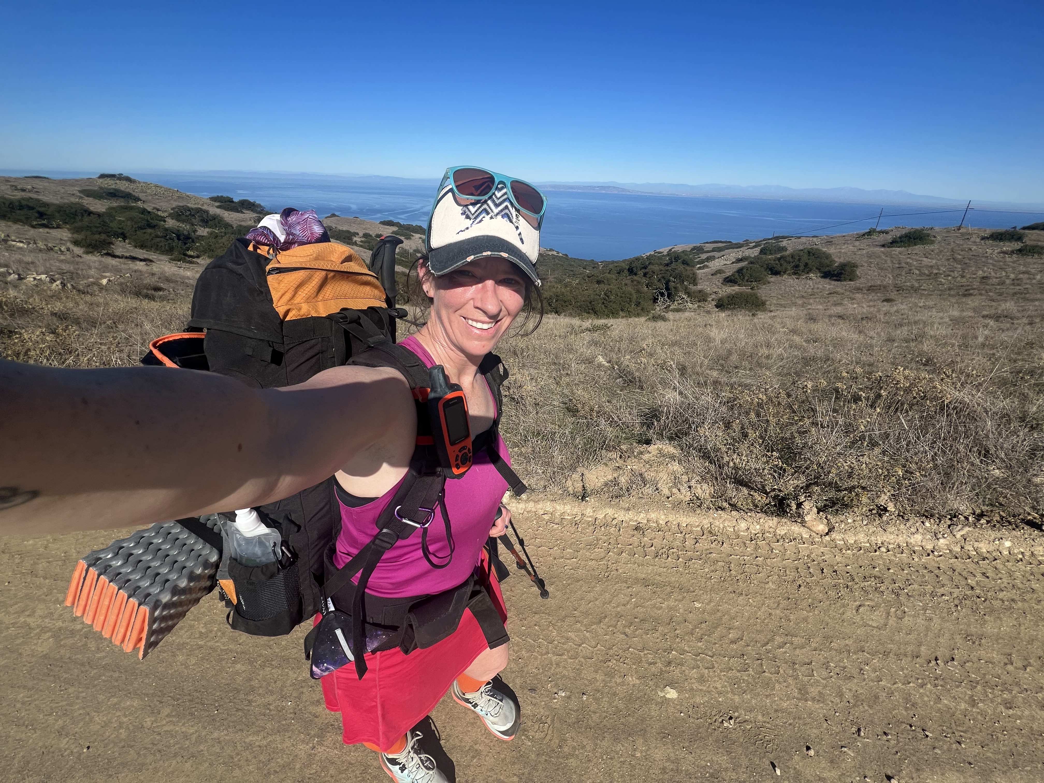
We settled into our tents knowing we had a 9 mile hike the next day, not to mention we would be climbing up from sea level to the ridge that leads to Black Jack Campground, a +3,500′ day. Combine that with packs full of supplies for 4 more days on the trail and we both knew we needed a good night’s sleep. Unfortunately, neither of us got that.
Day 1
Hermit Gulch Campground → Black Jack Campground
9.2 Miles, +3,587′
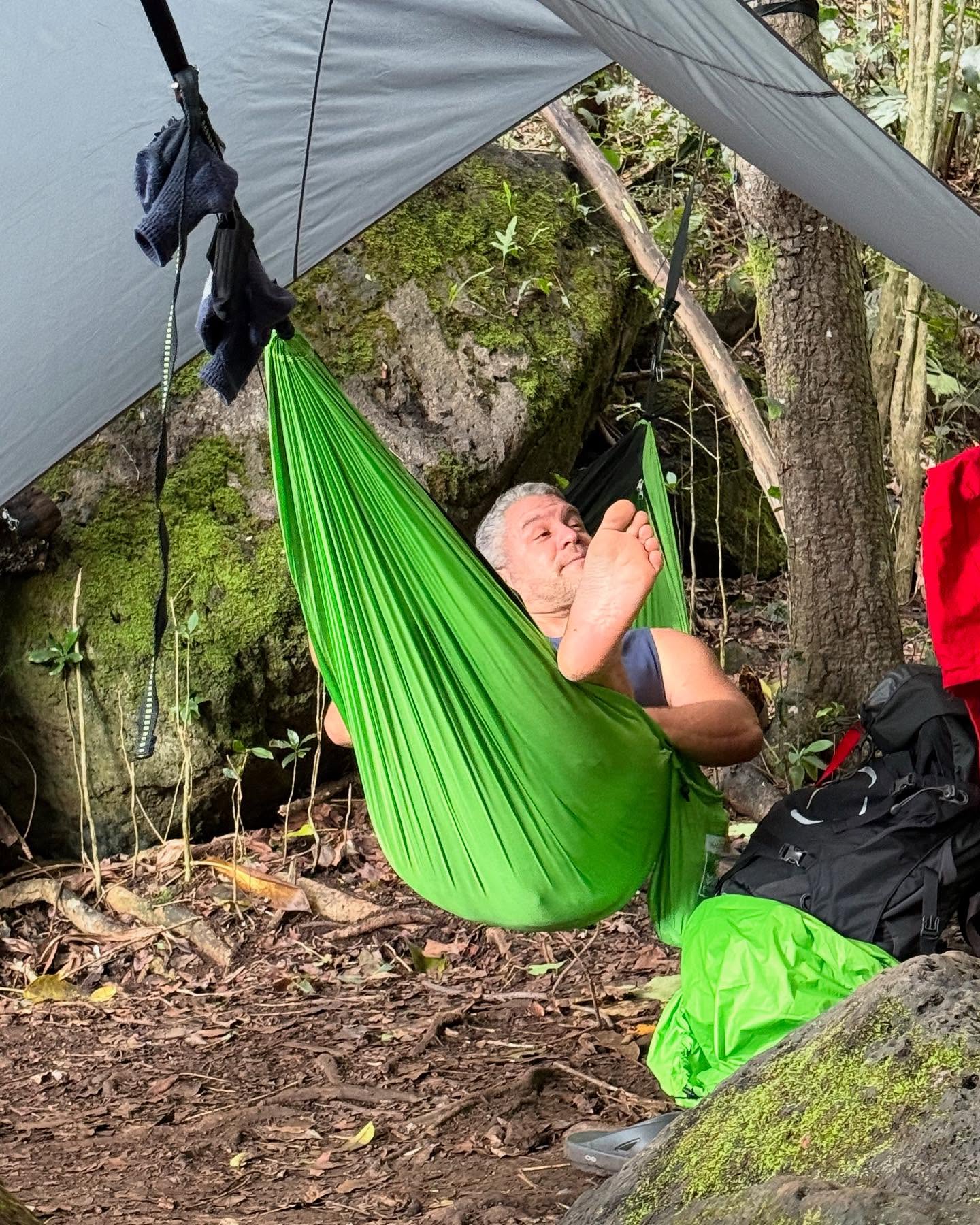
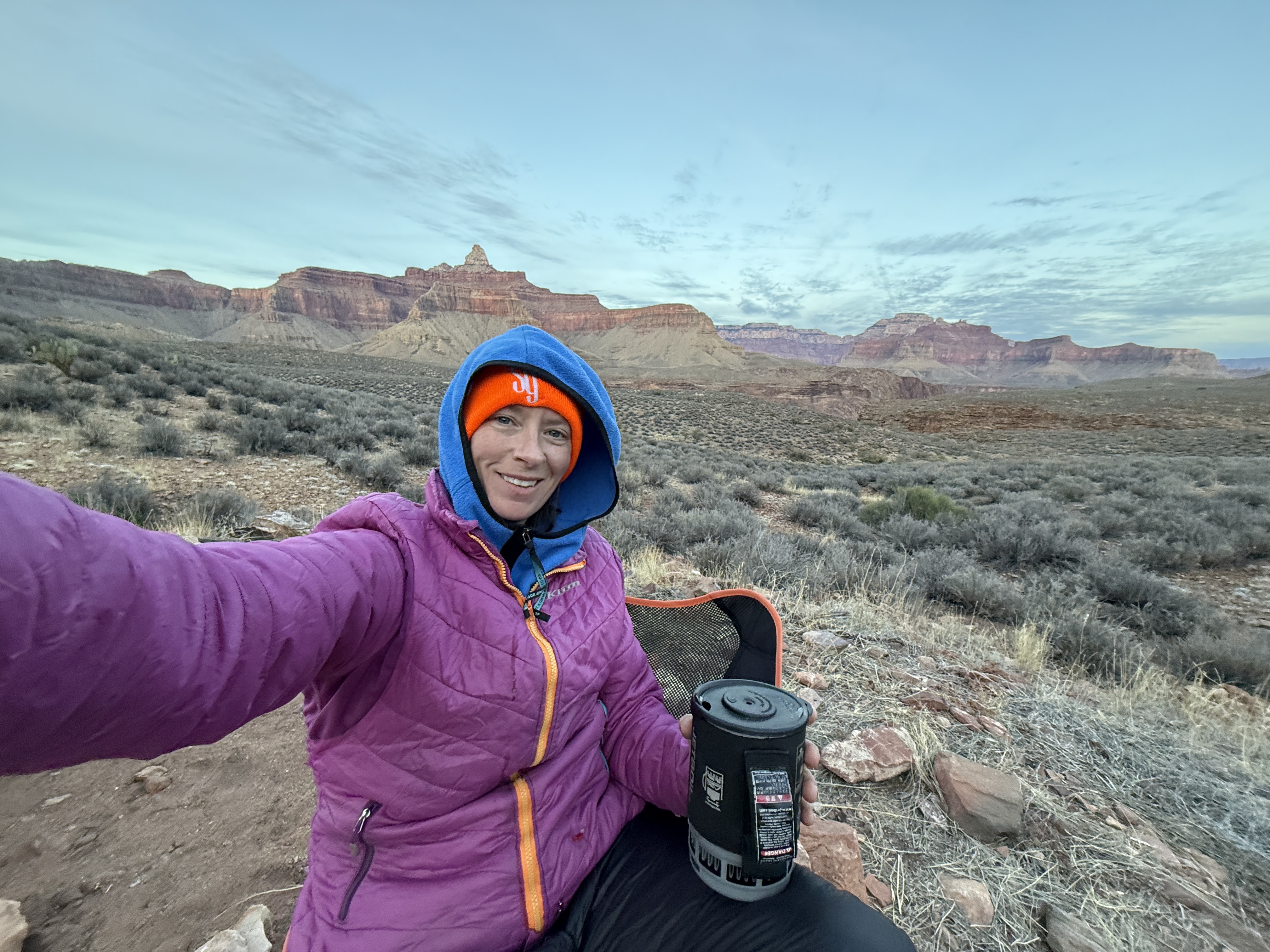
We both woke up early, unable to stay in bed any longer. We both had underestimated how cold it could get here at night, and our light, 50 degree sleeping bags weren’t doing the trick. We were wearing every piece of clothing we had brought but still shivered throughout the night. Hot coffee and oatmeal warmed me up, as did the rising sun, and I knew I needed a backup plan in case this chill carried through to the higher and more northern campgrounds.
I found an empty trash can with a fresh contractor liner and permanently borrowed the trash bag to use as an emergency bivy sack. I figured, worst case scenario, the plastic trash bag would retain some body heat inside my sleeping bag. We weren’t turning back, but did have reservations about our sleeping bag choices and how comfortable or uncomfortable we would be for the next 4 nights.
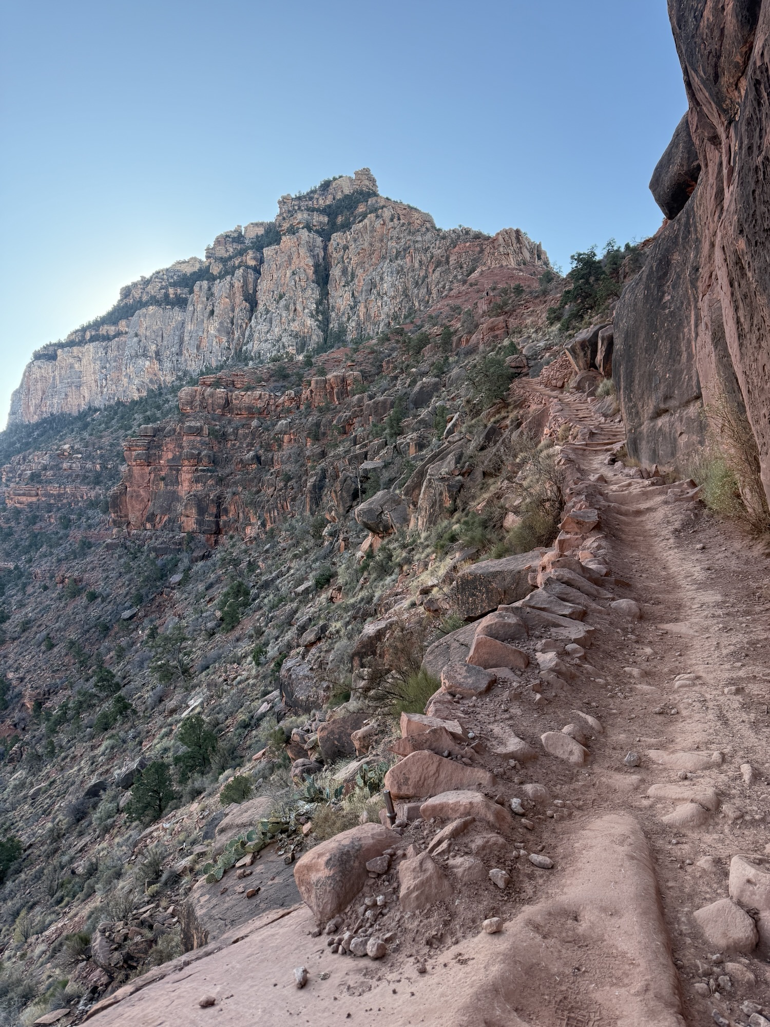
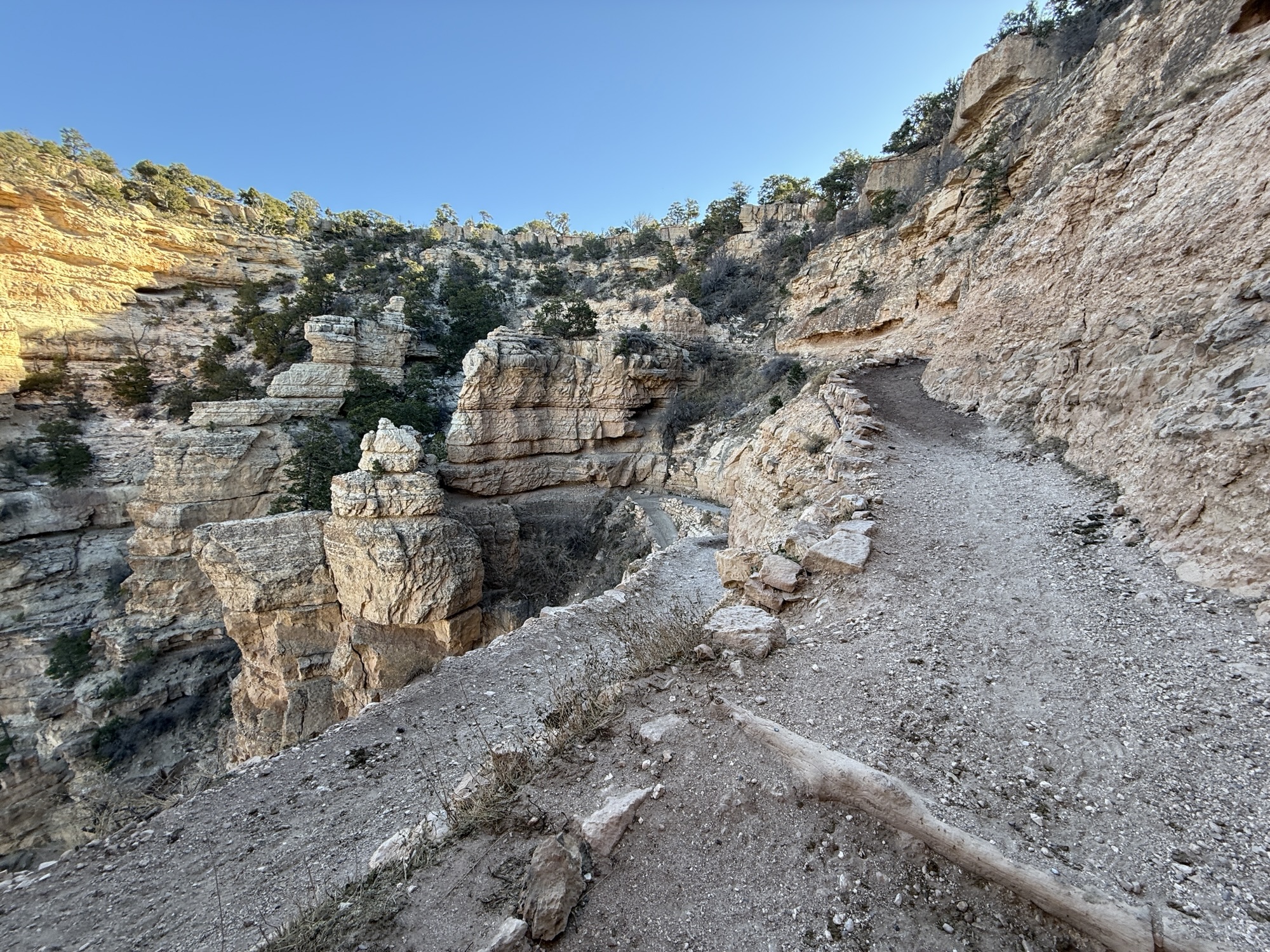
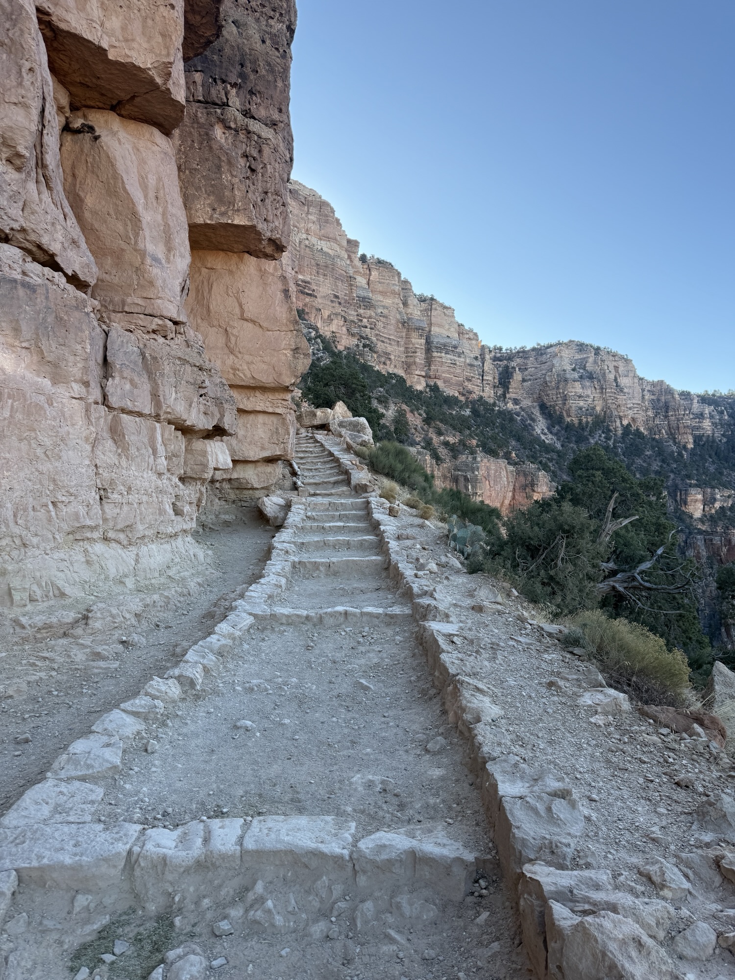
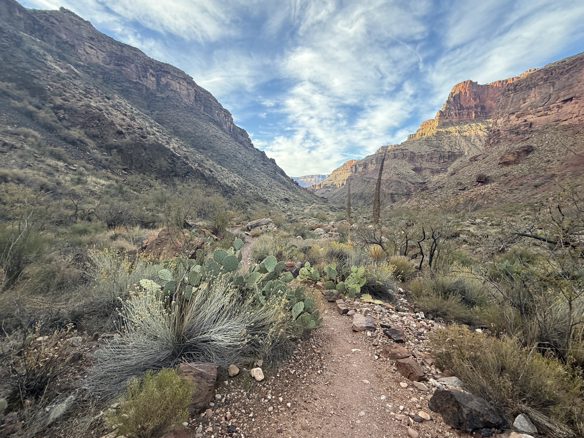
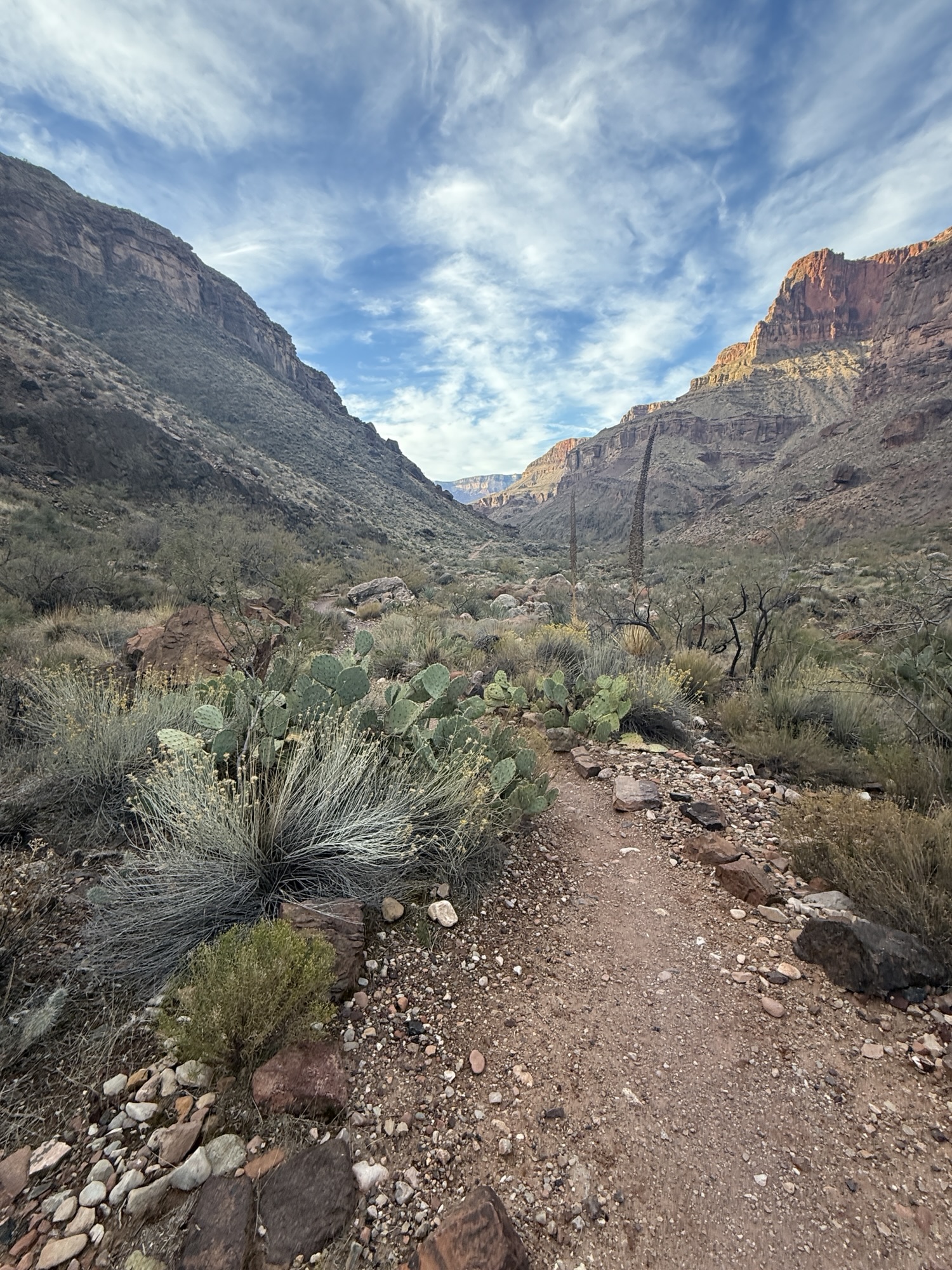
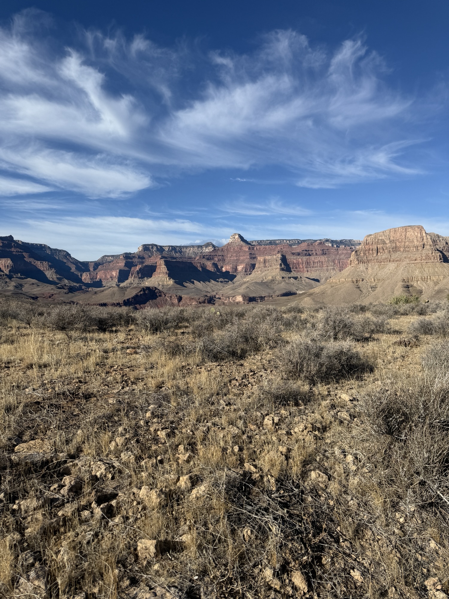
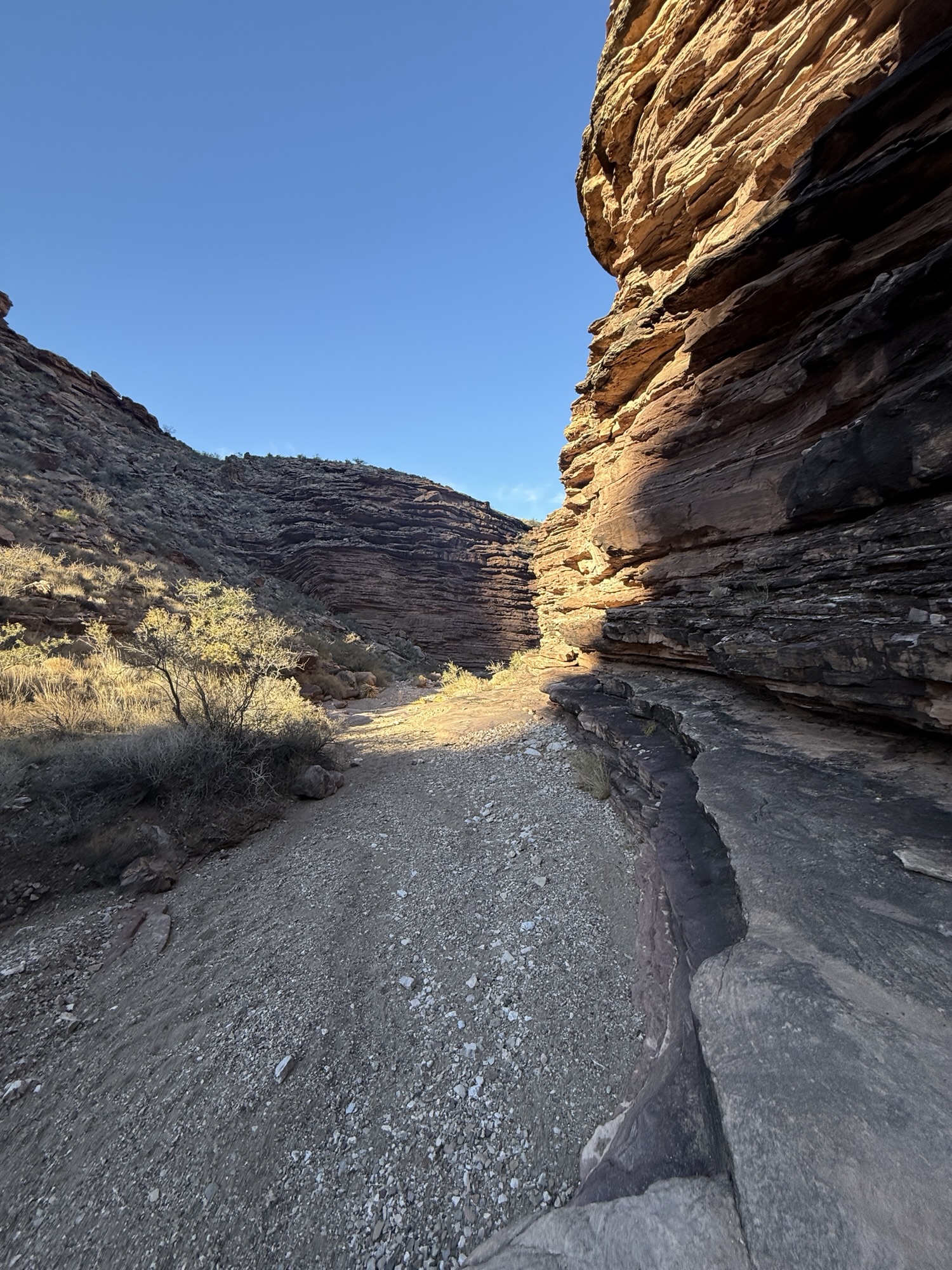
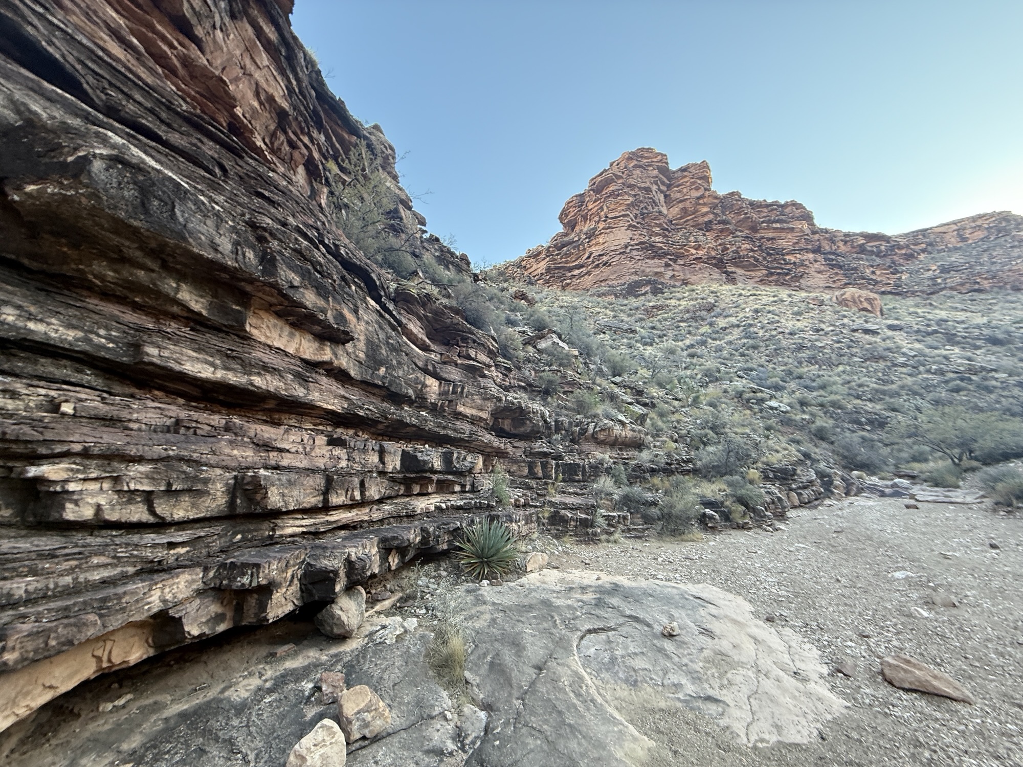
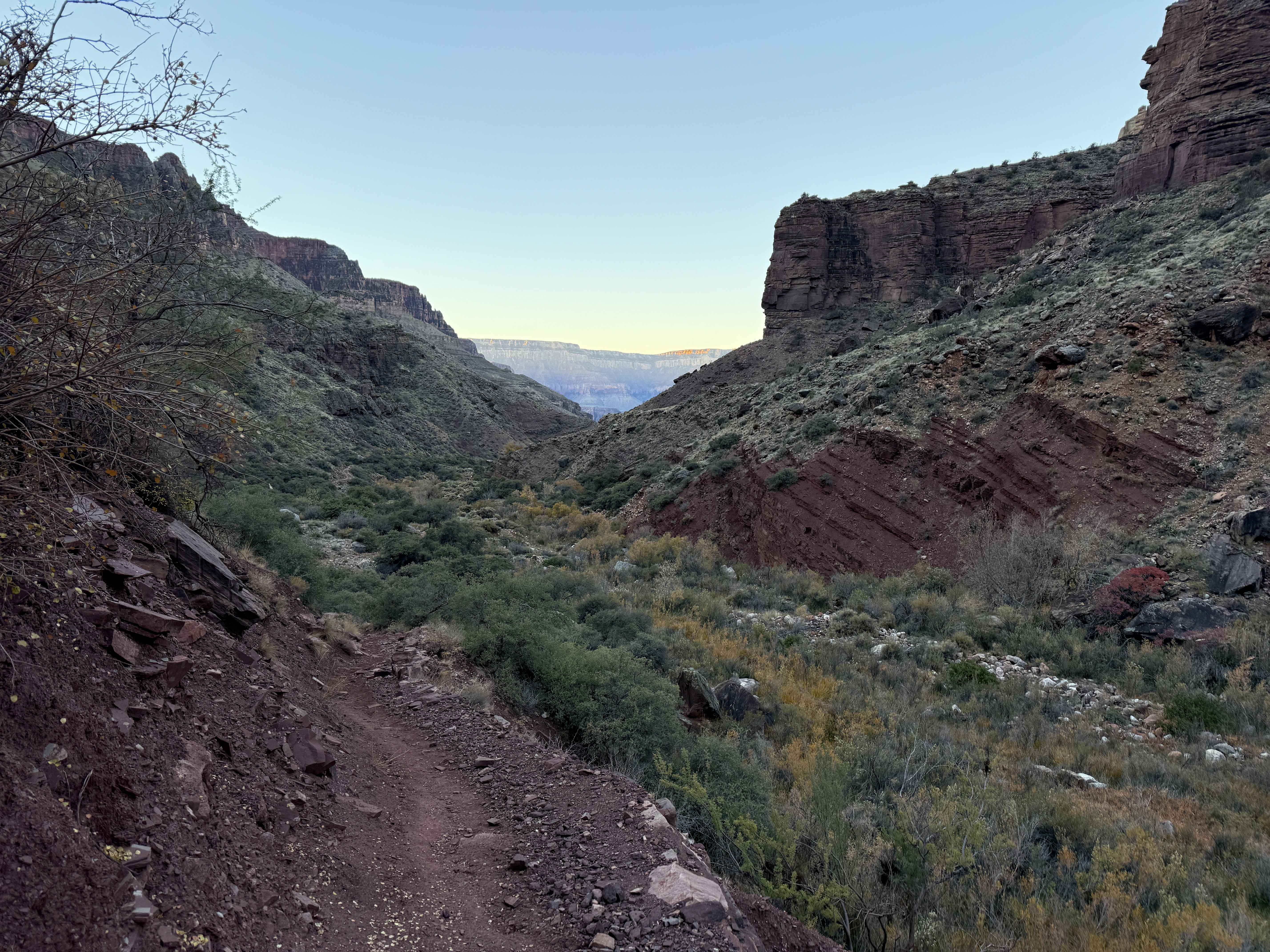
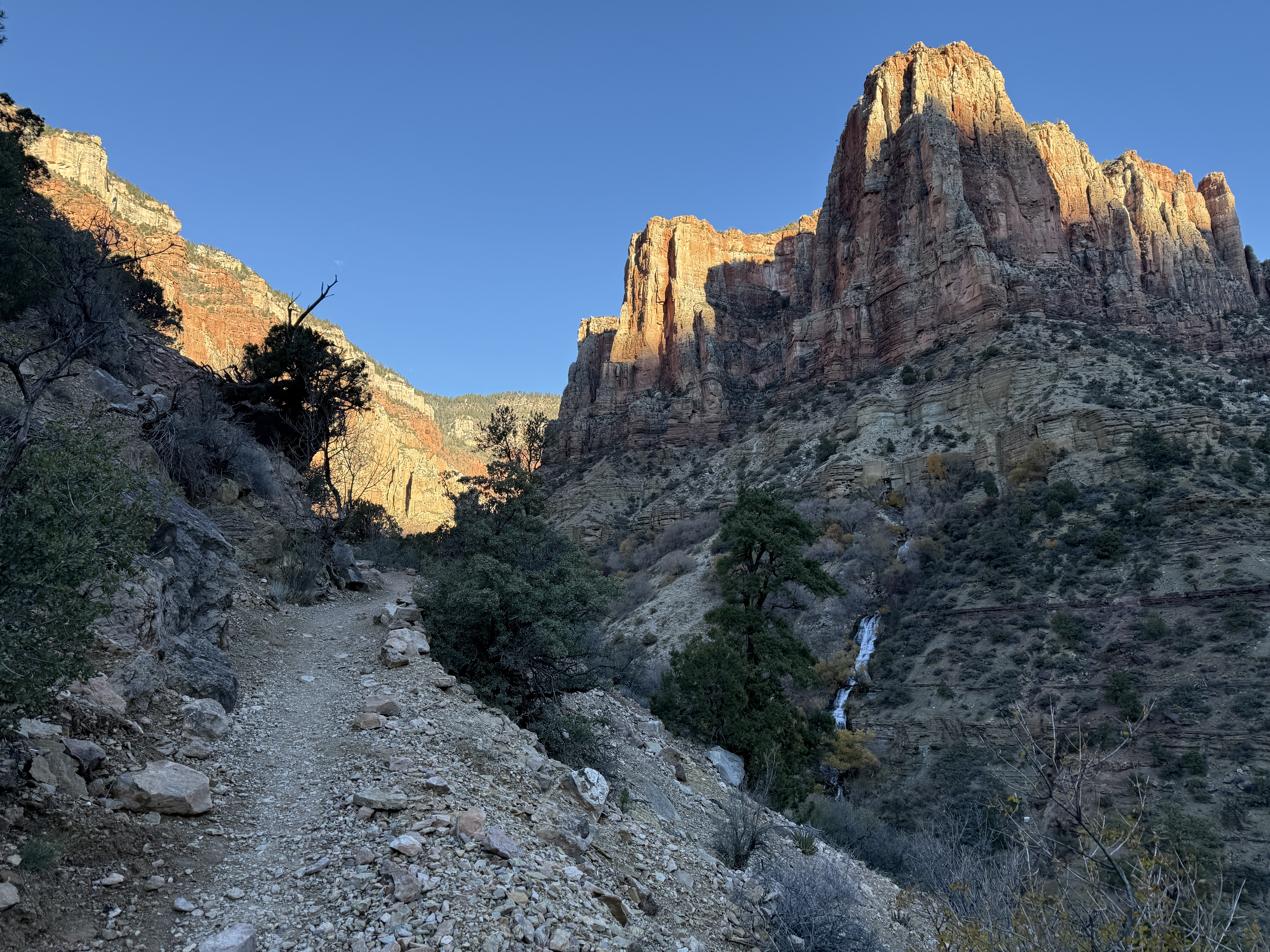
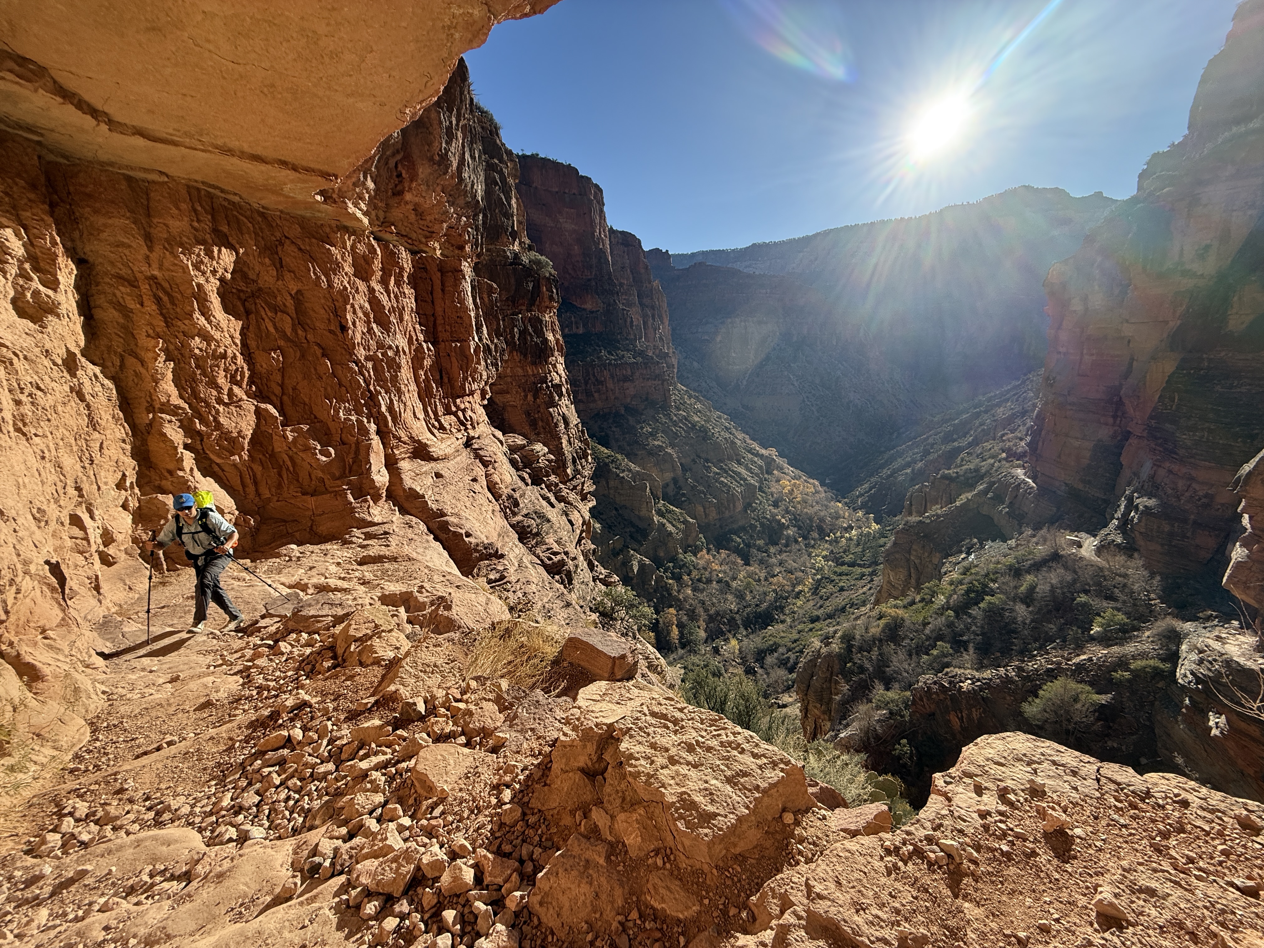
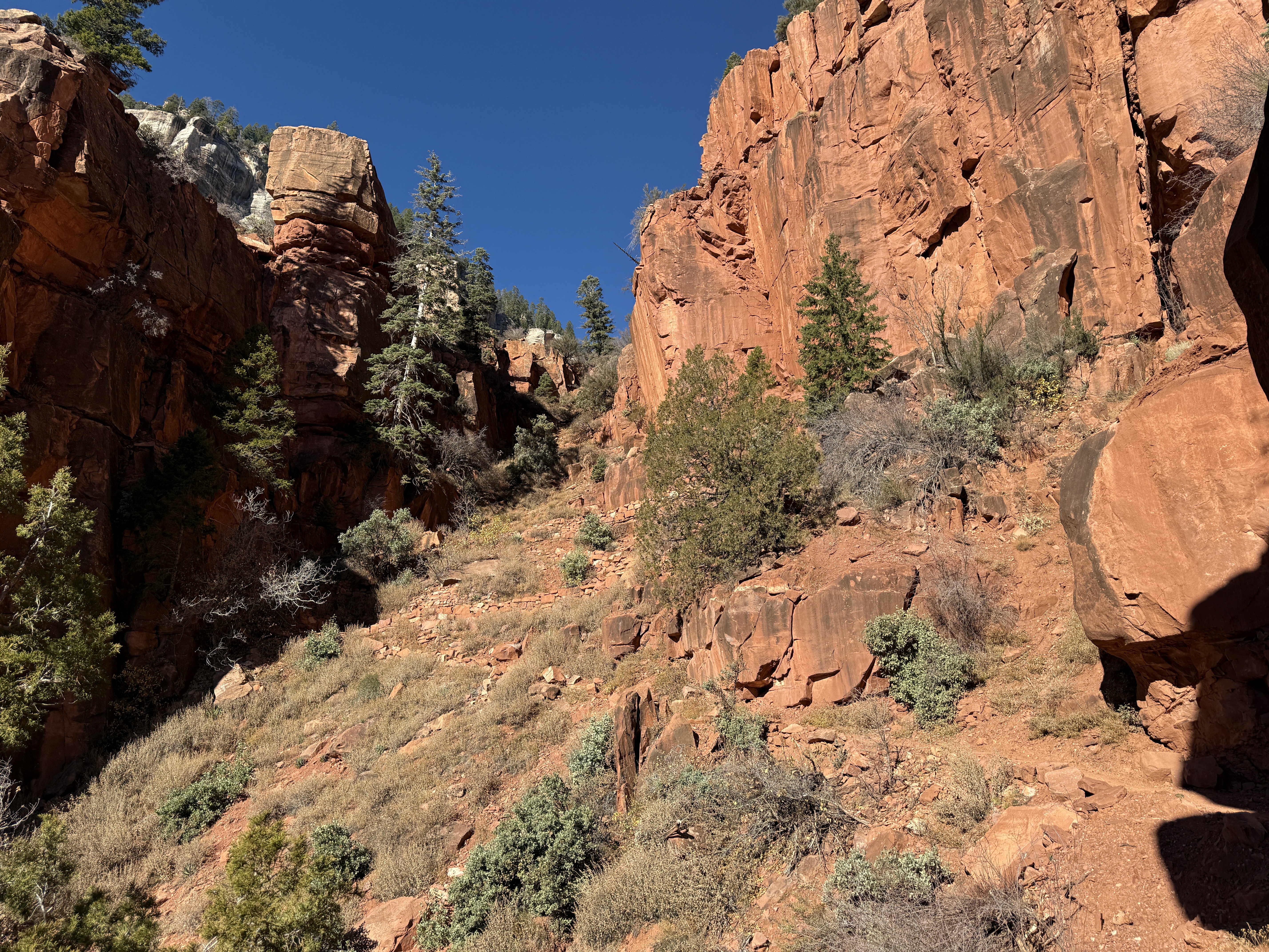
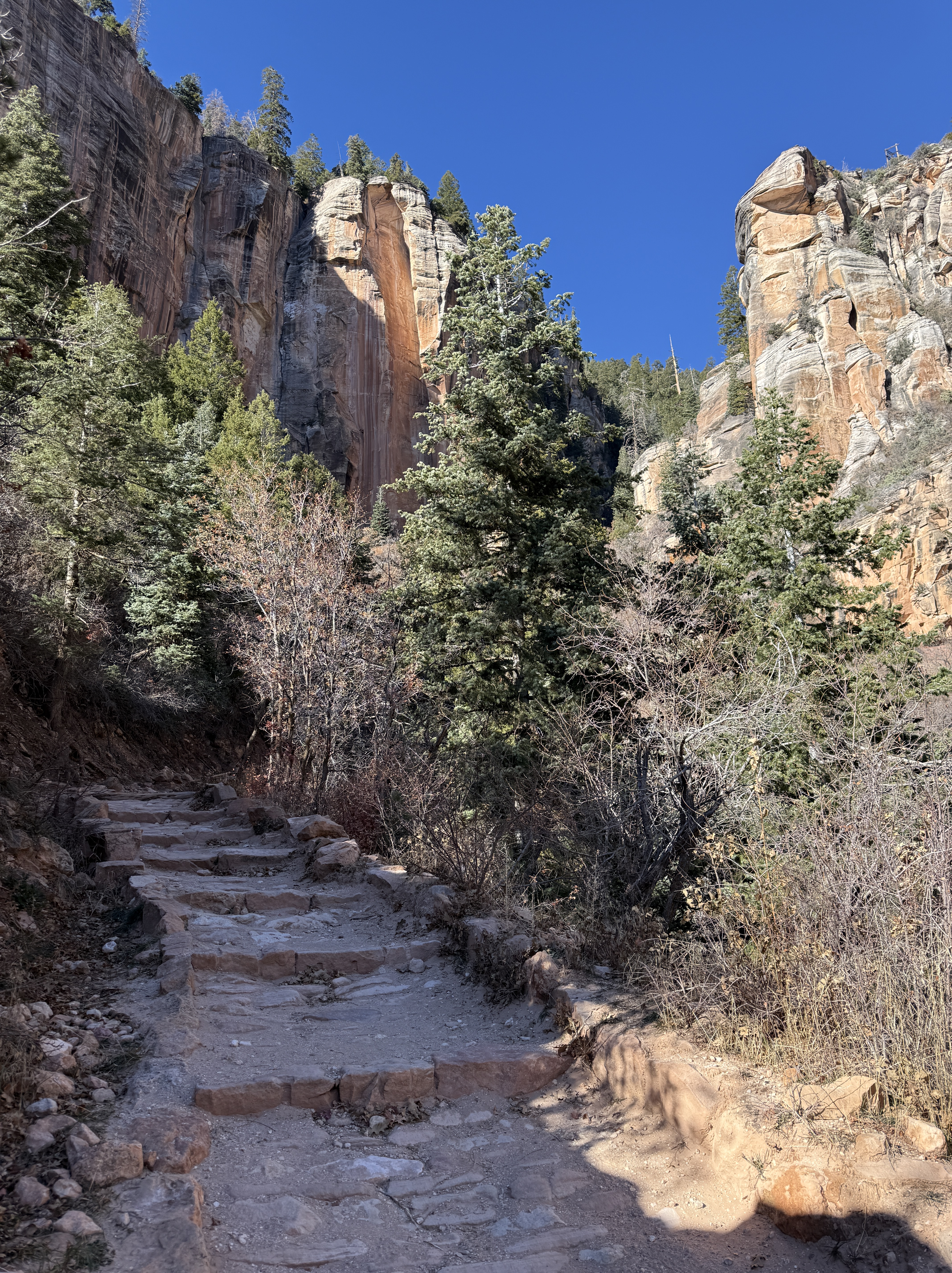
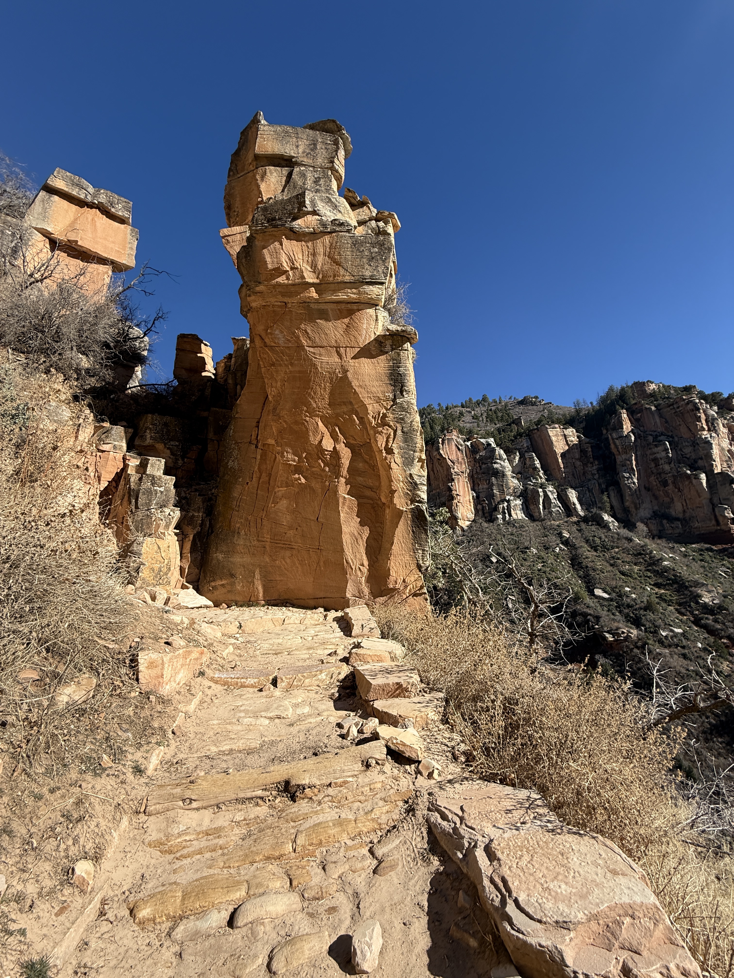
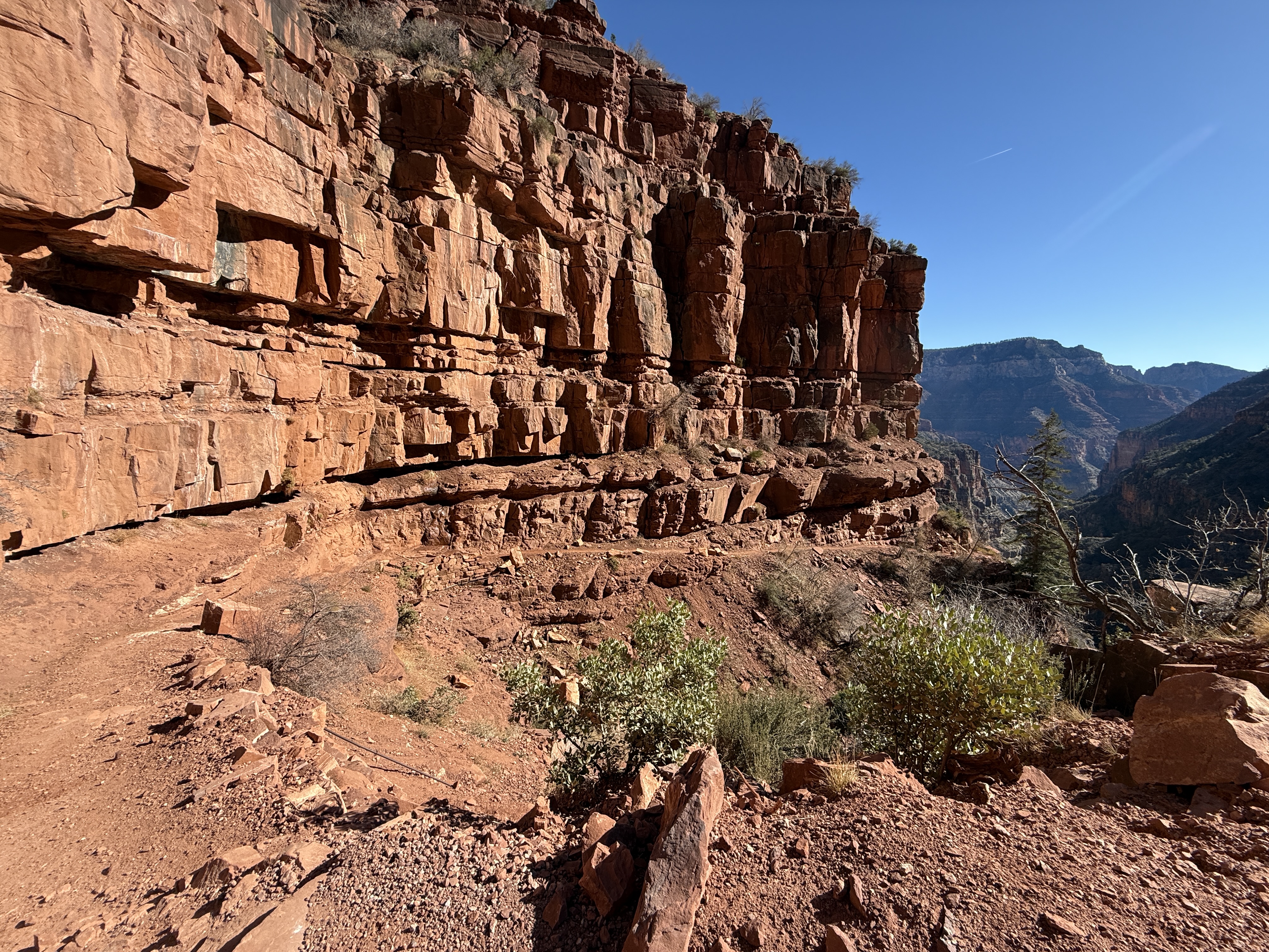
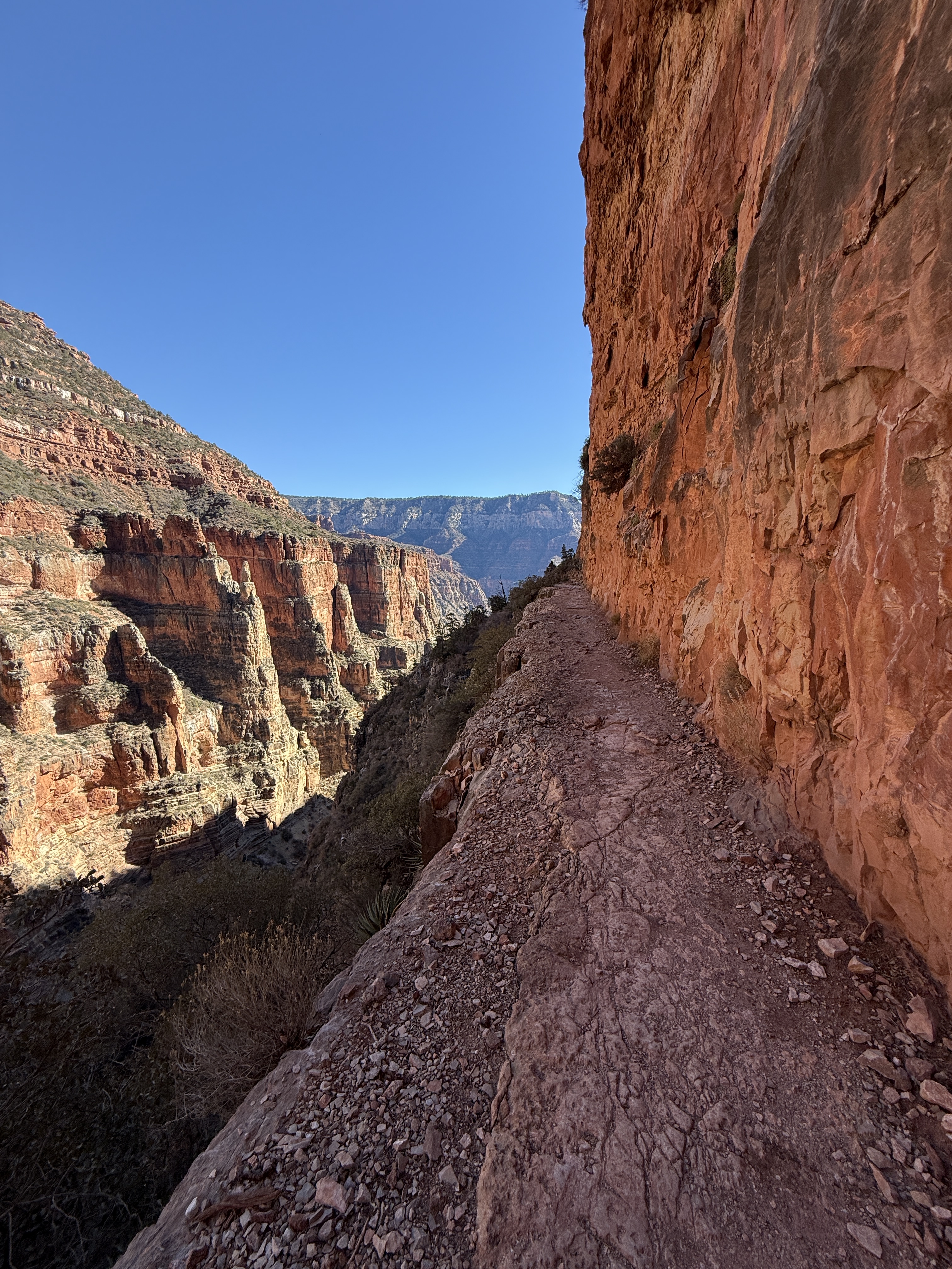
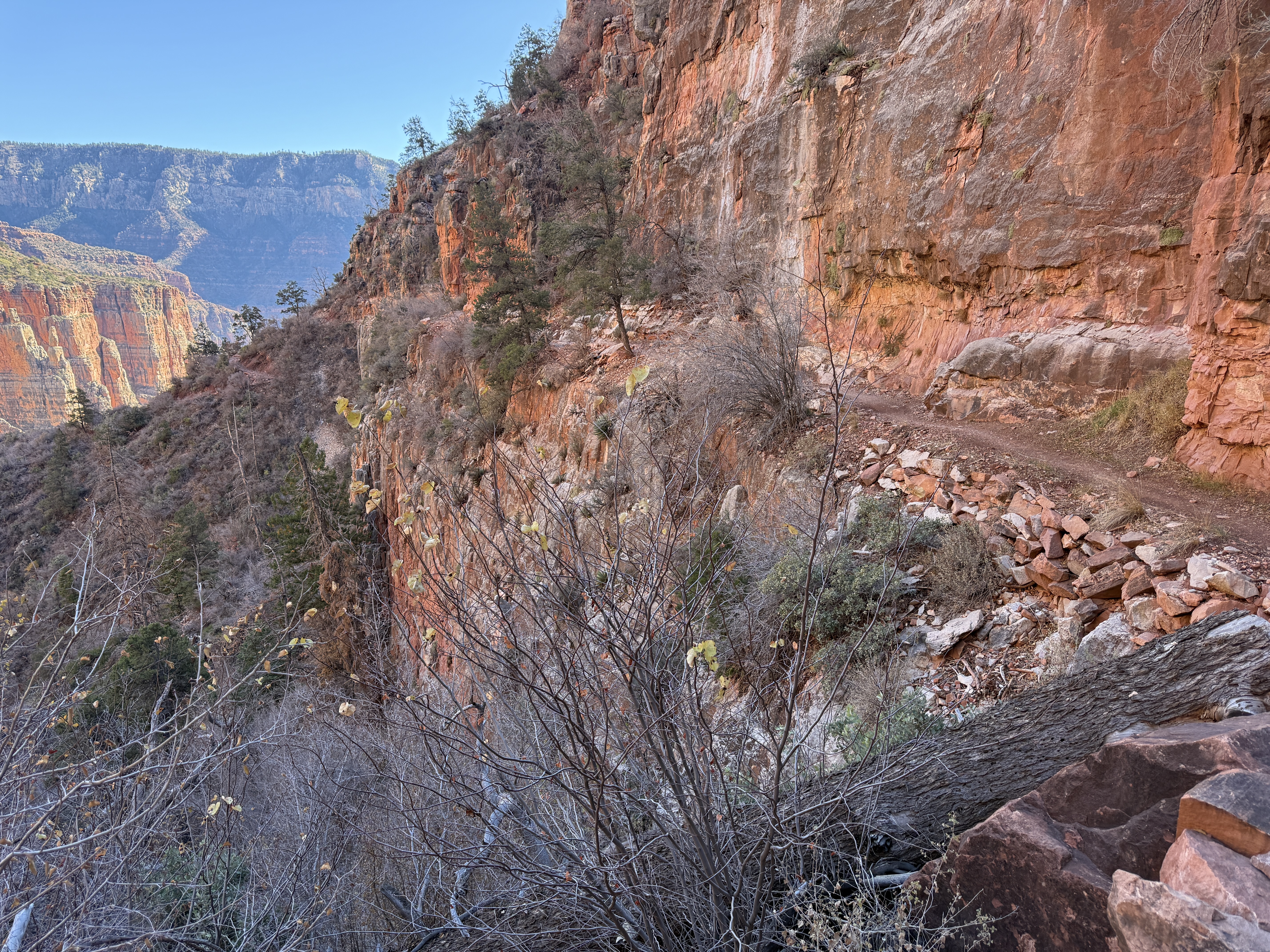
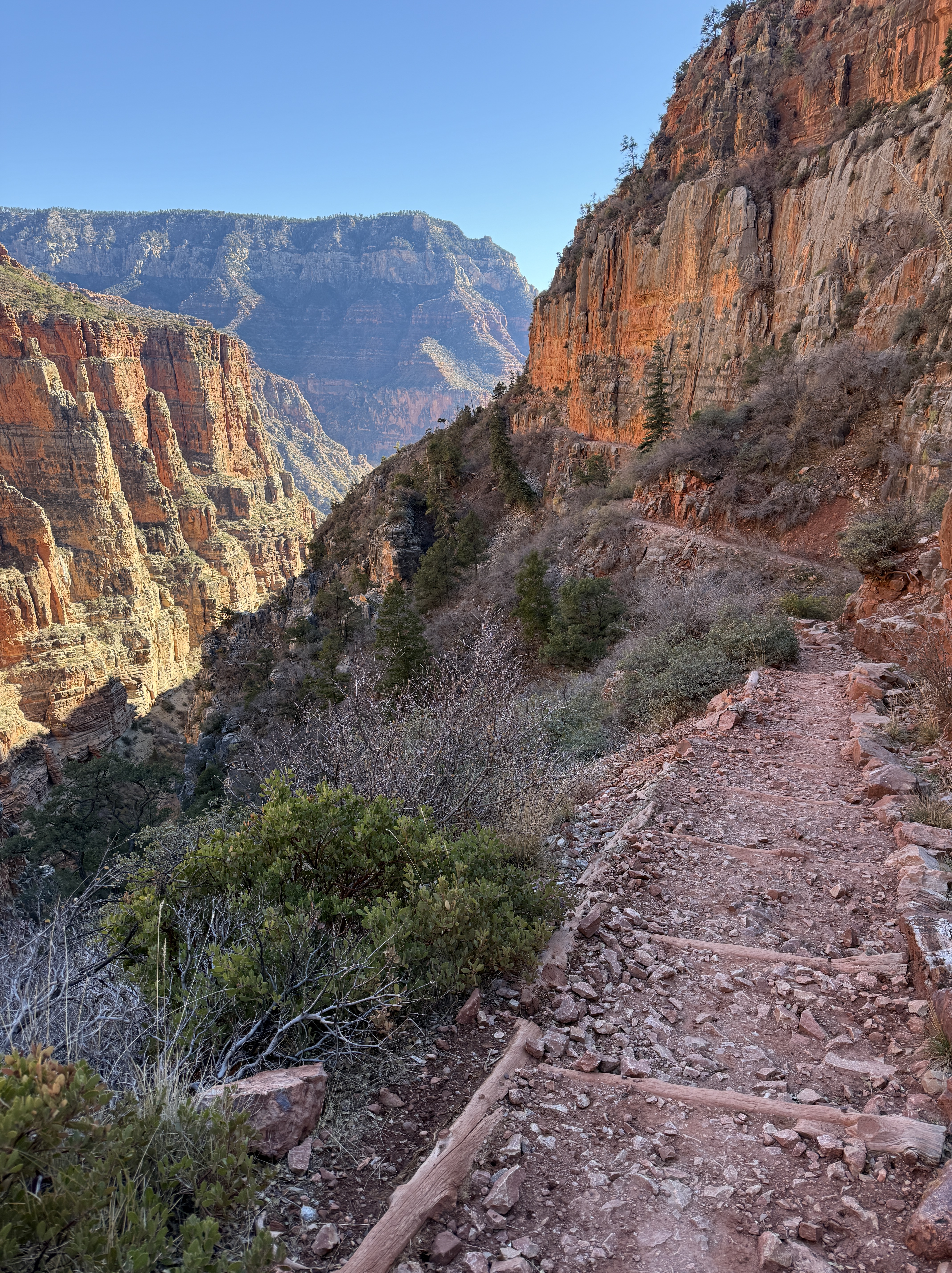
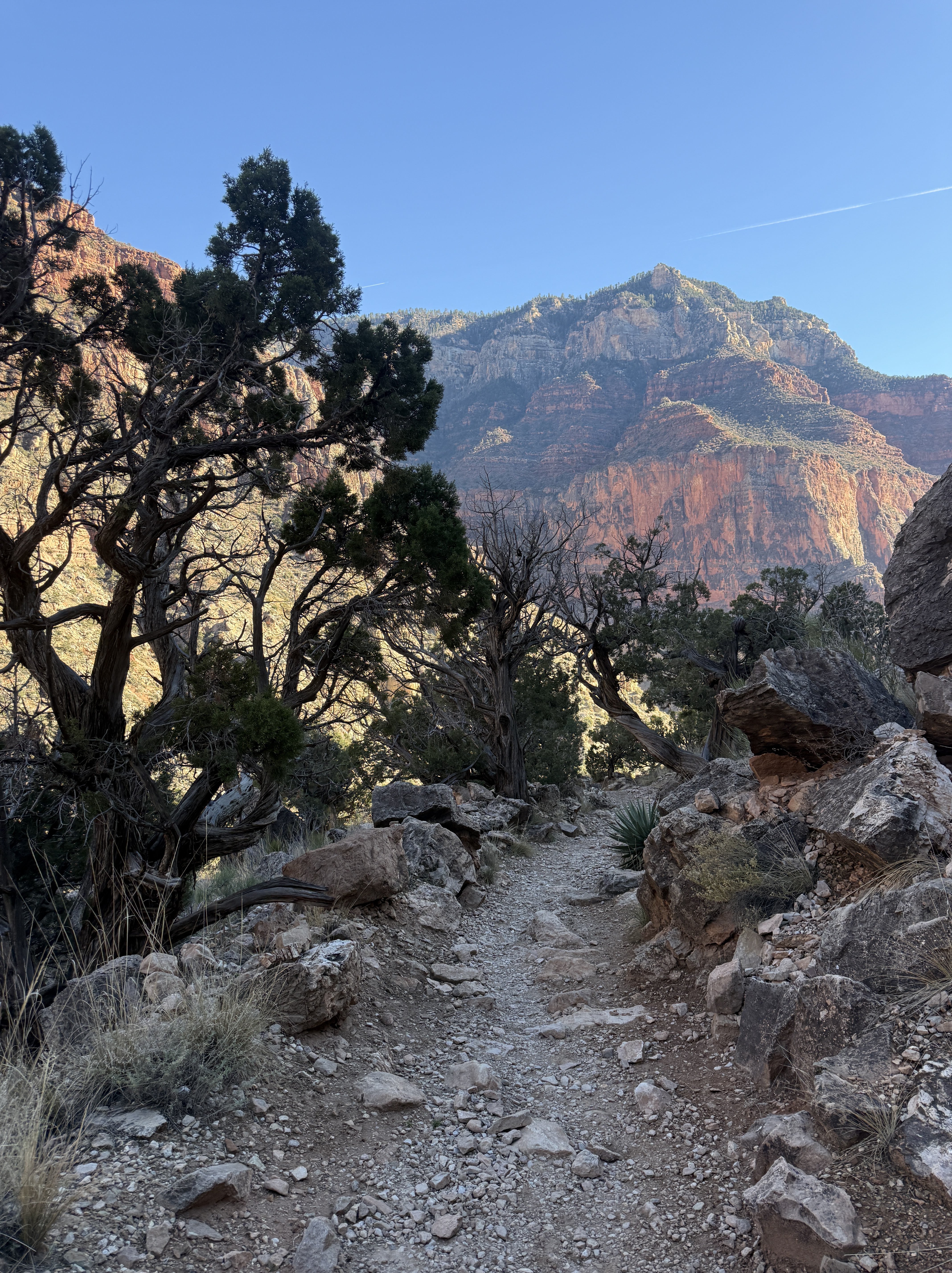
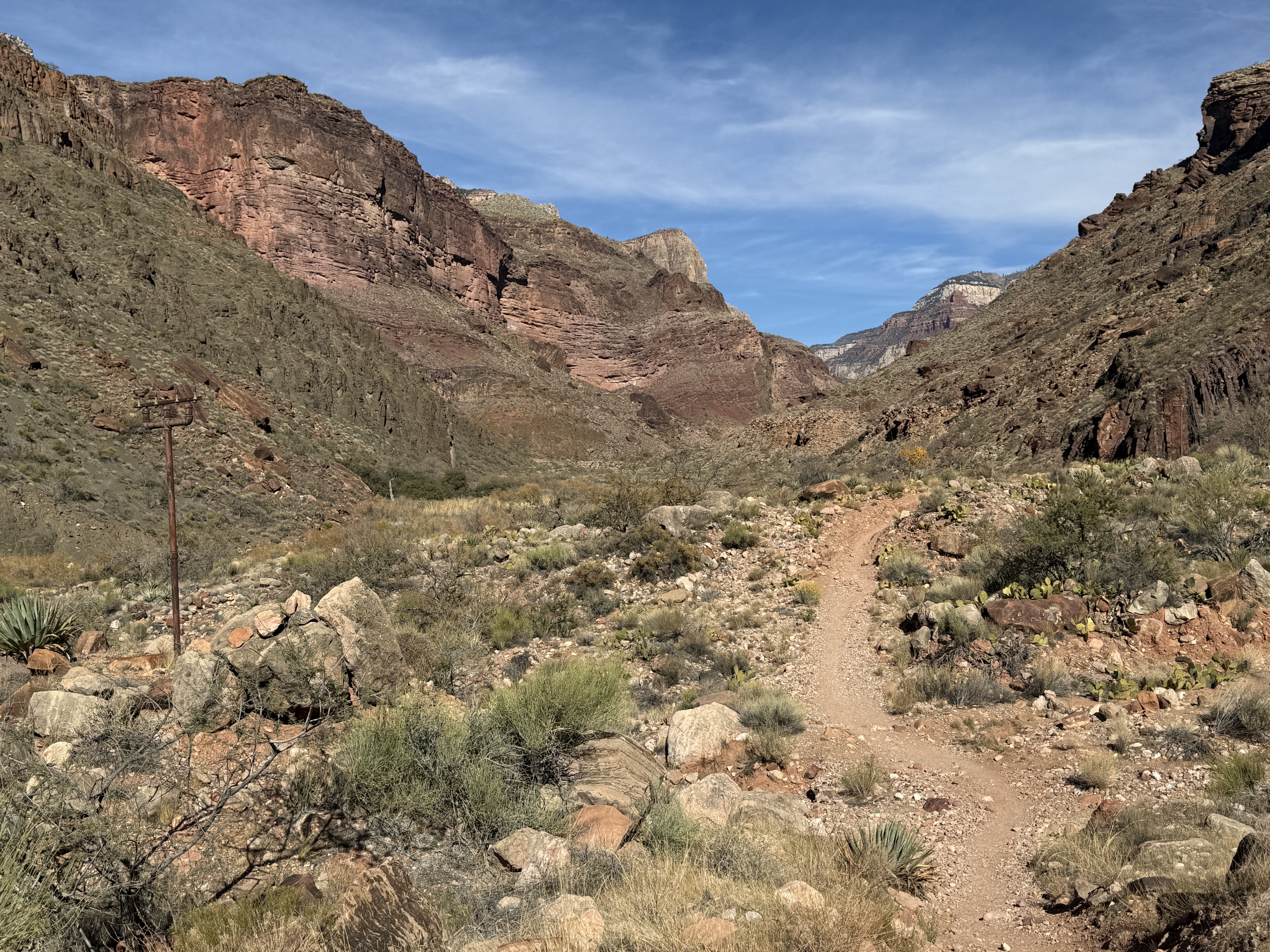
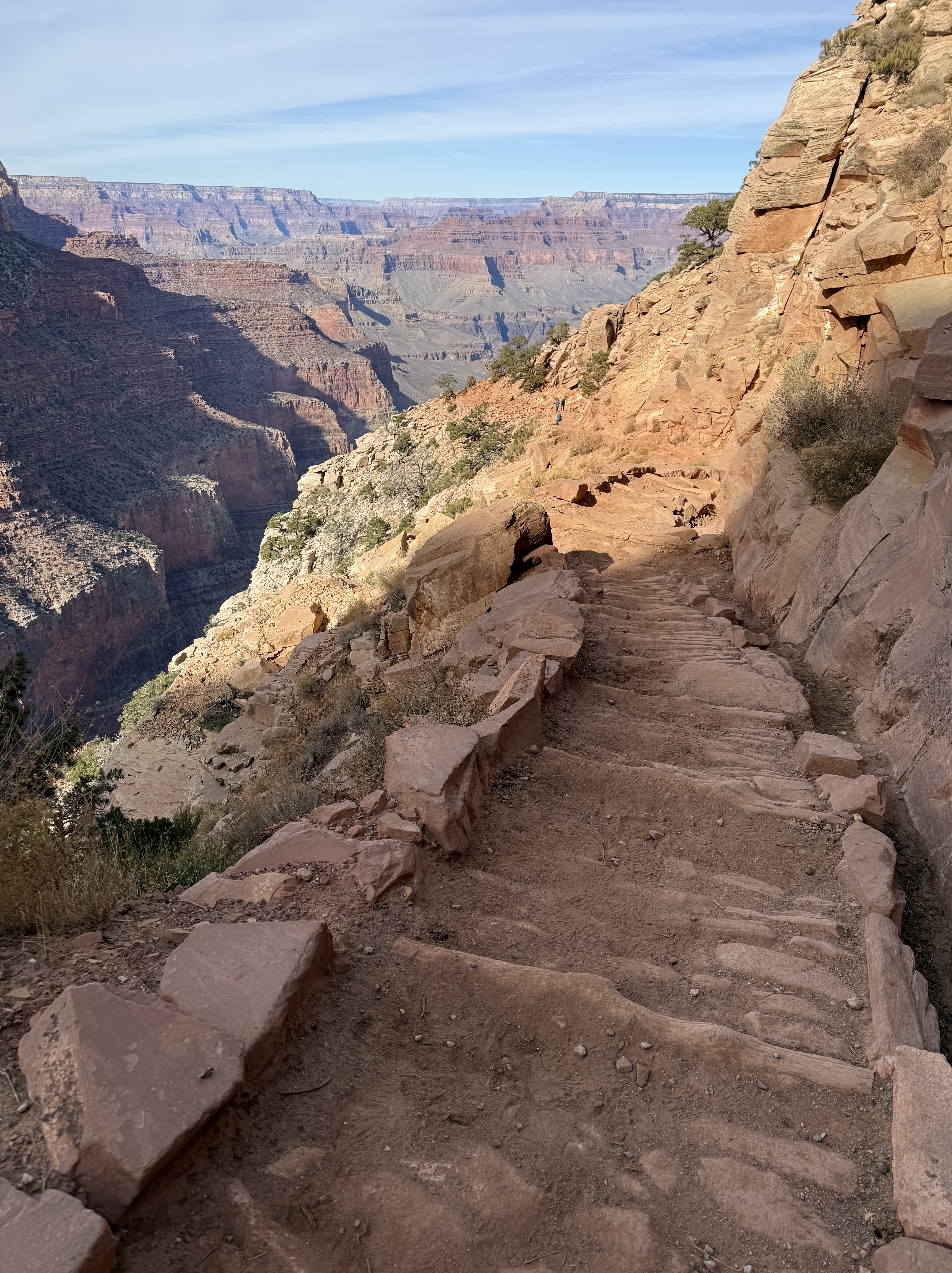
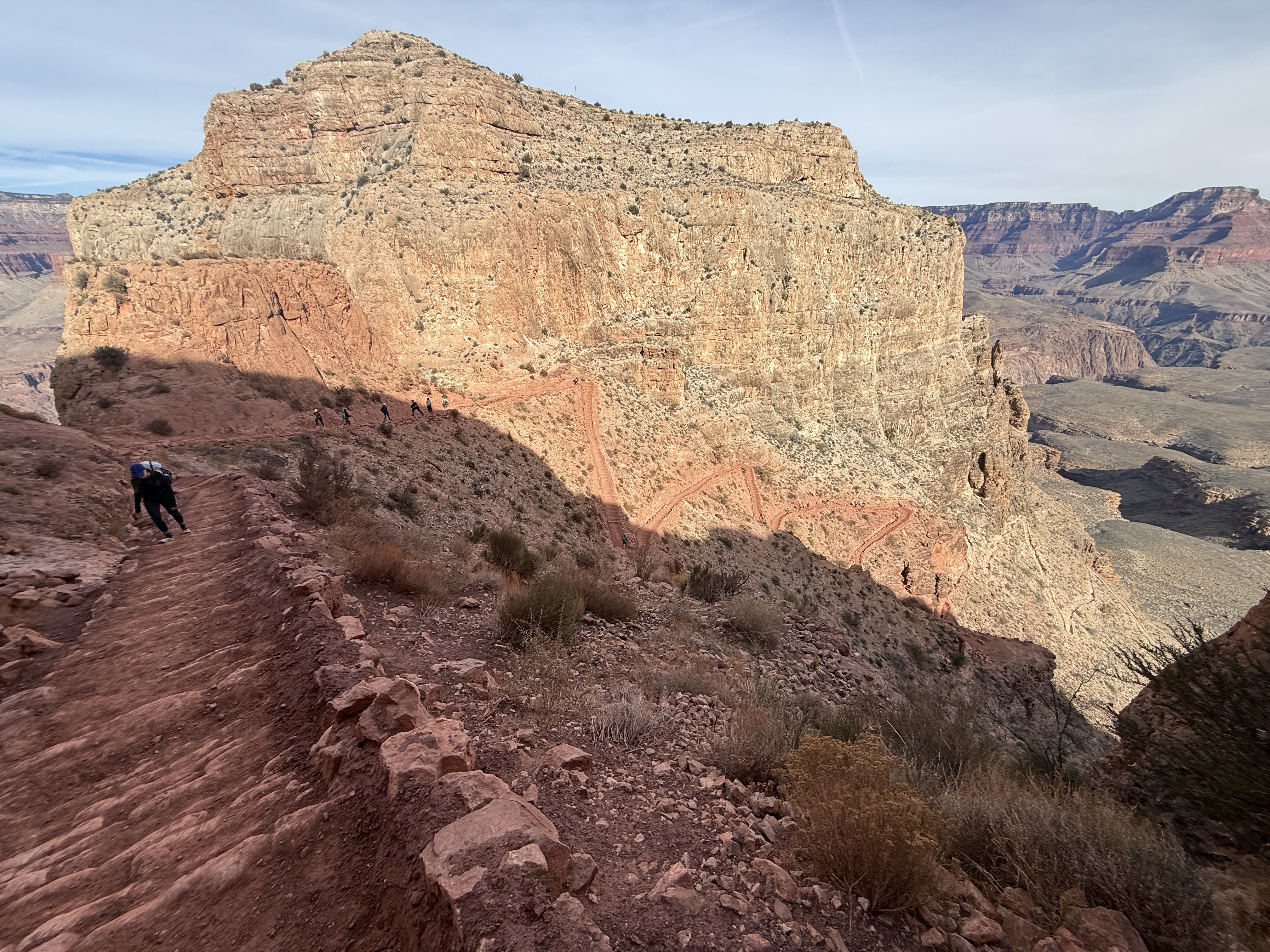
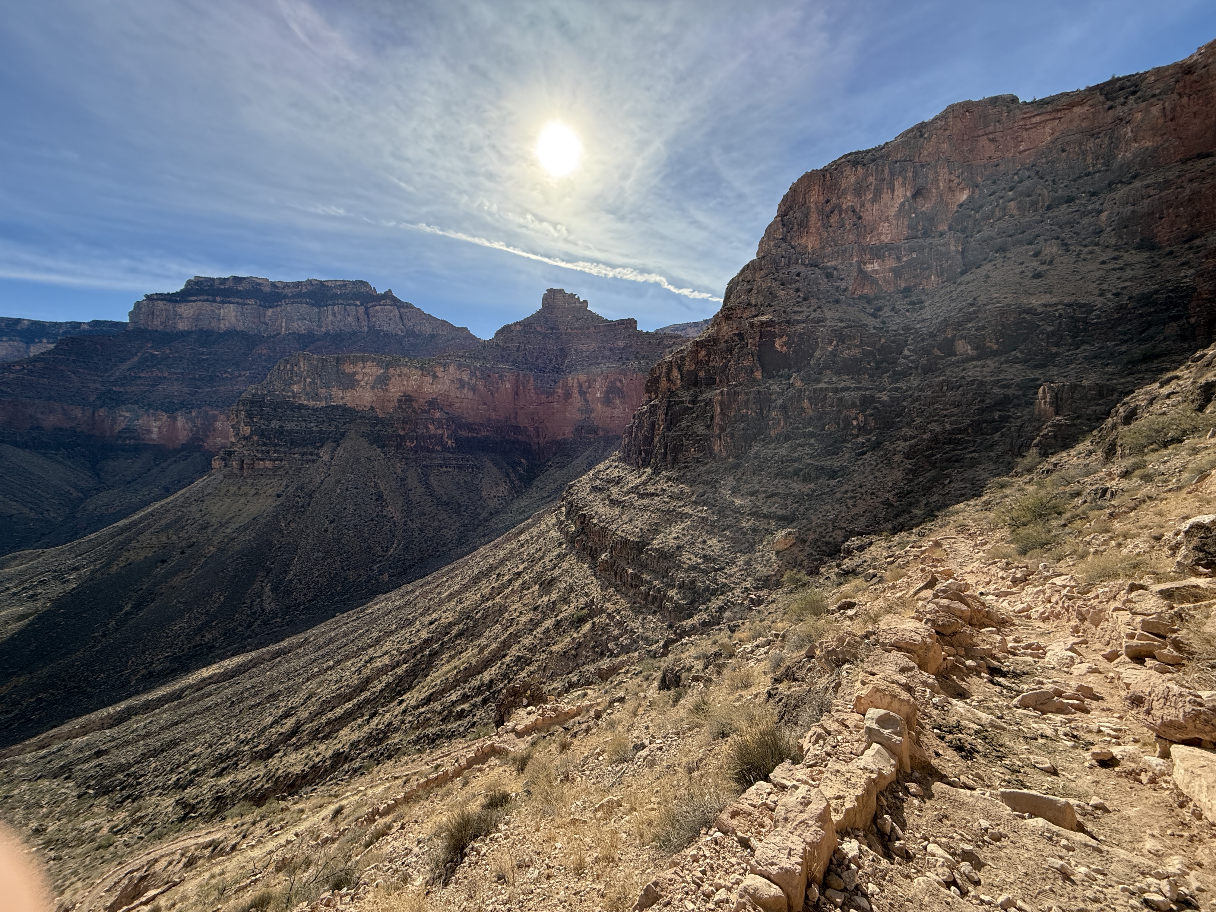
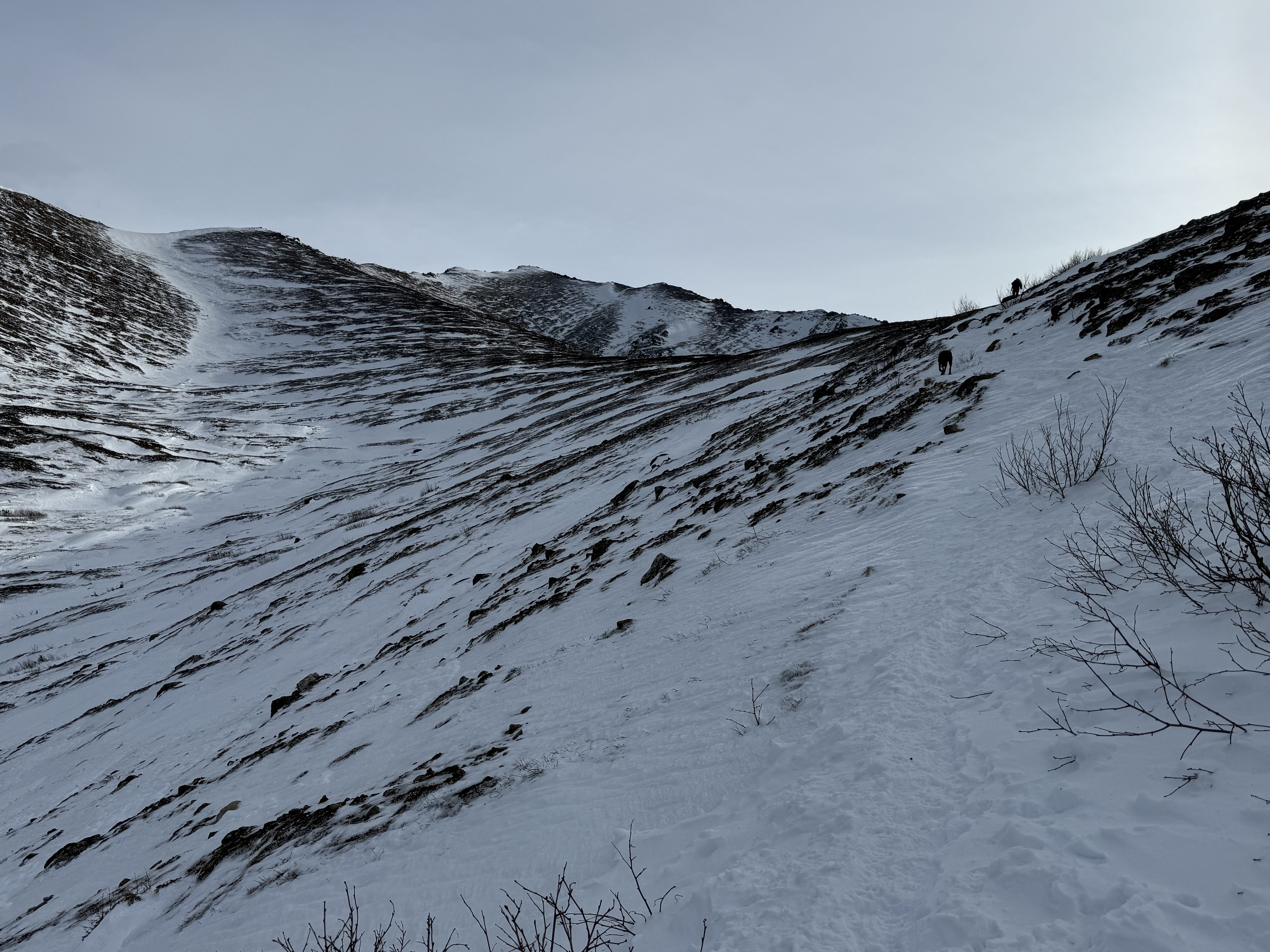
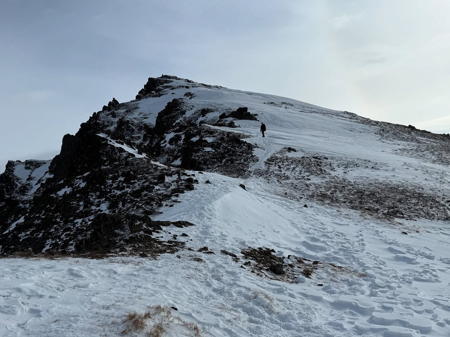
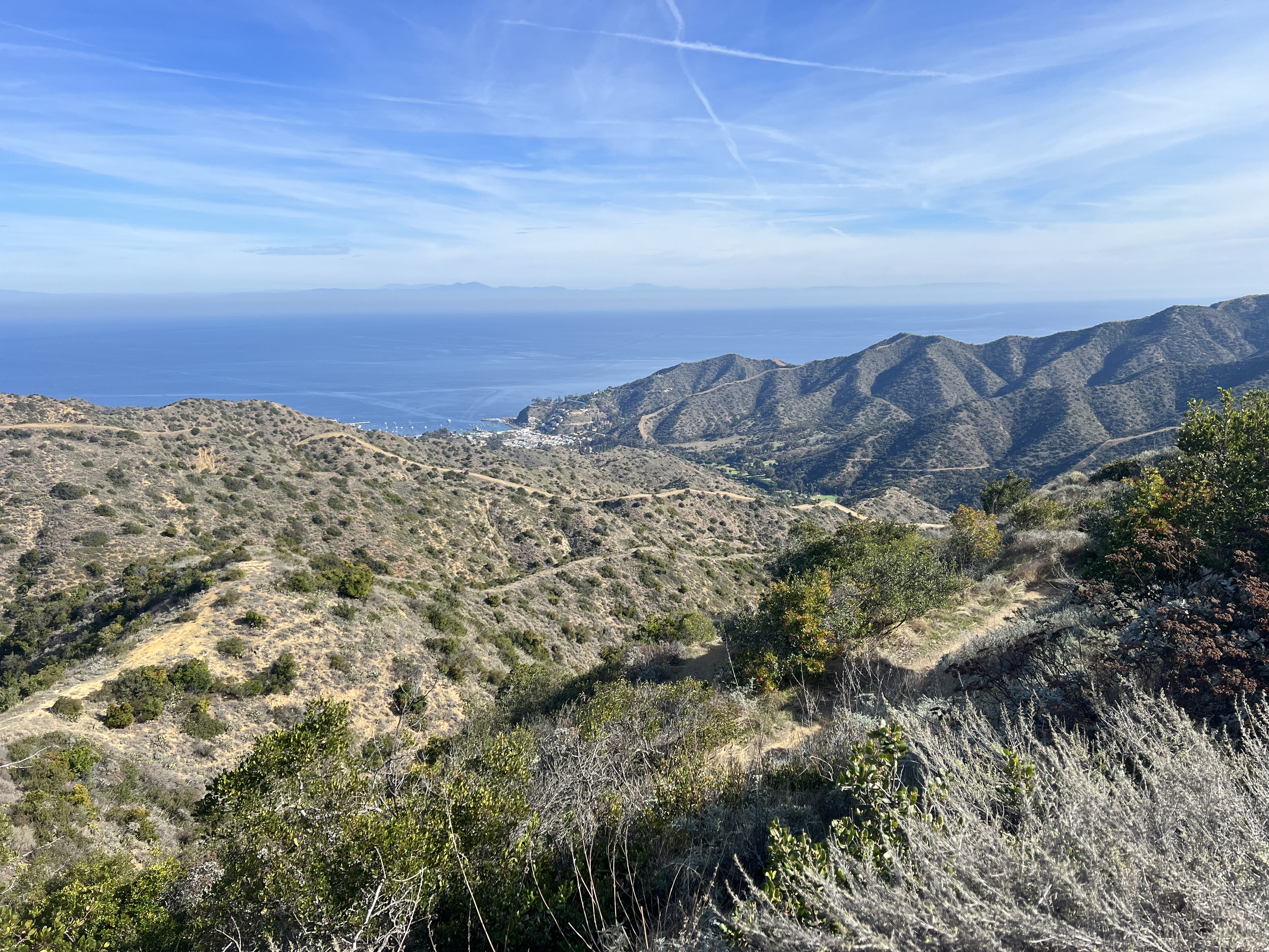
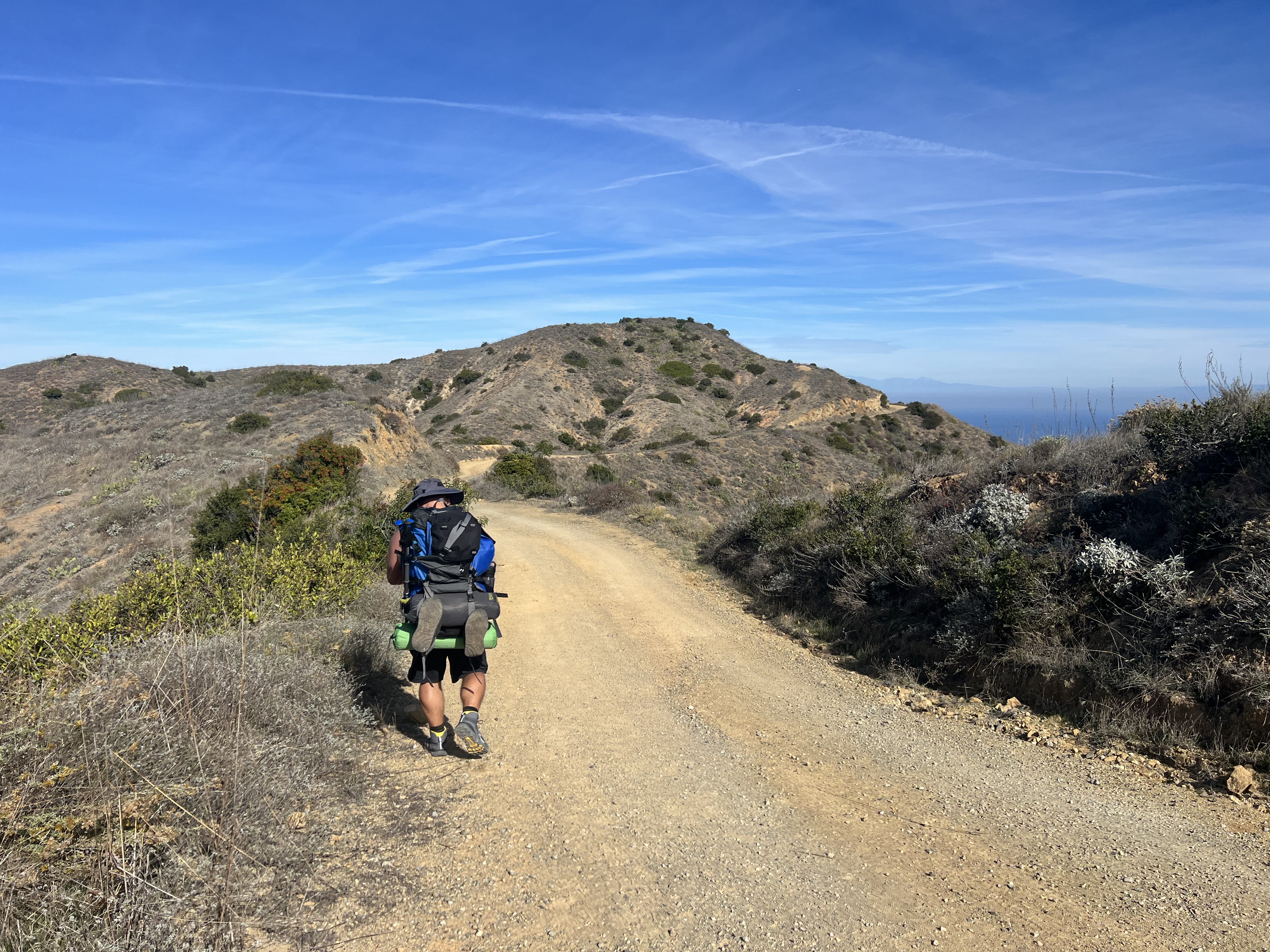
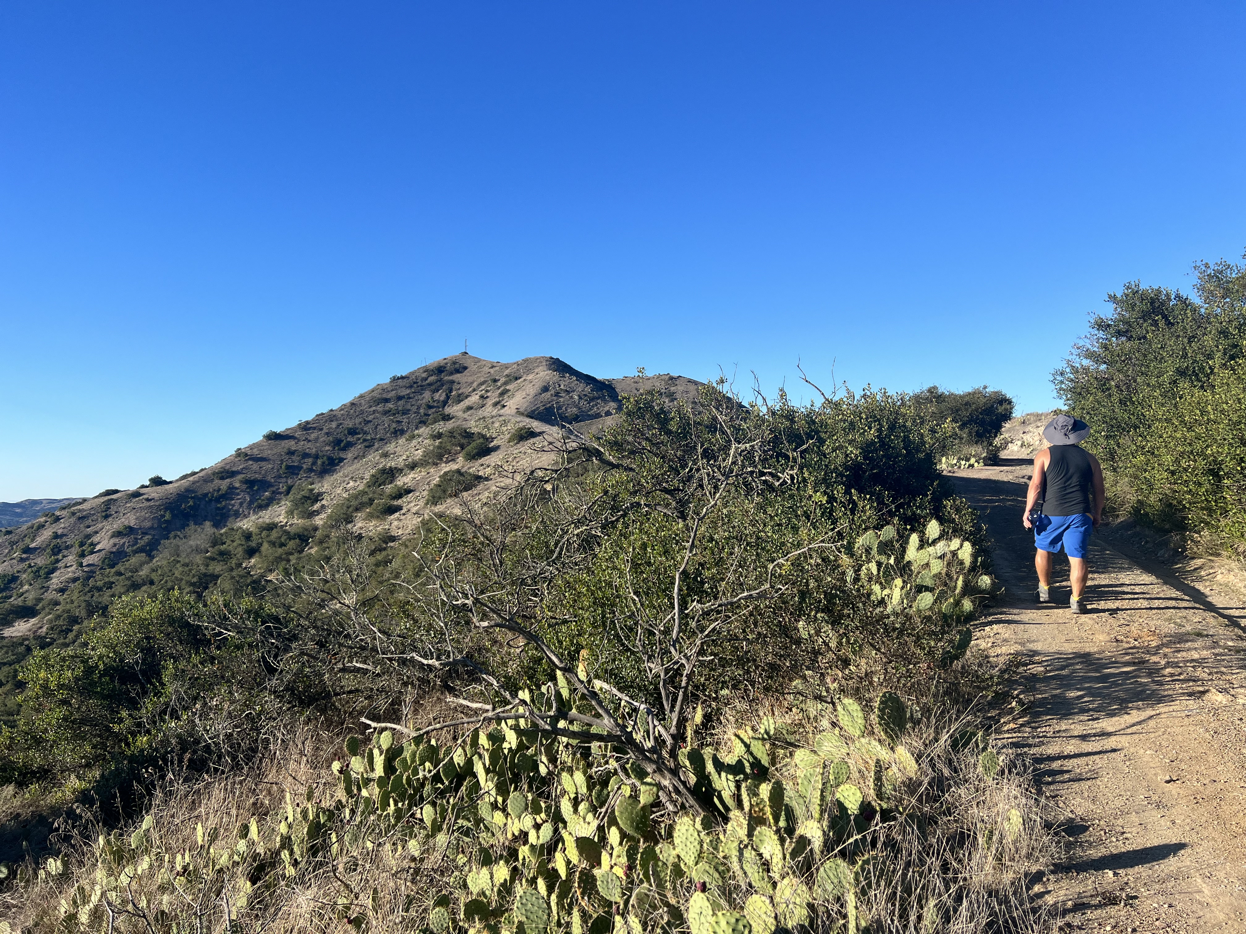
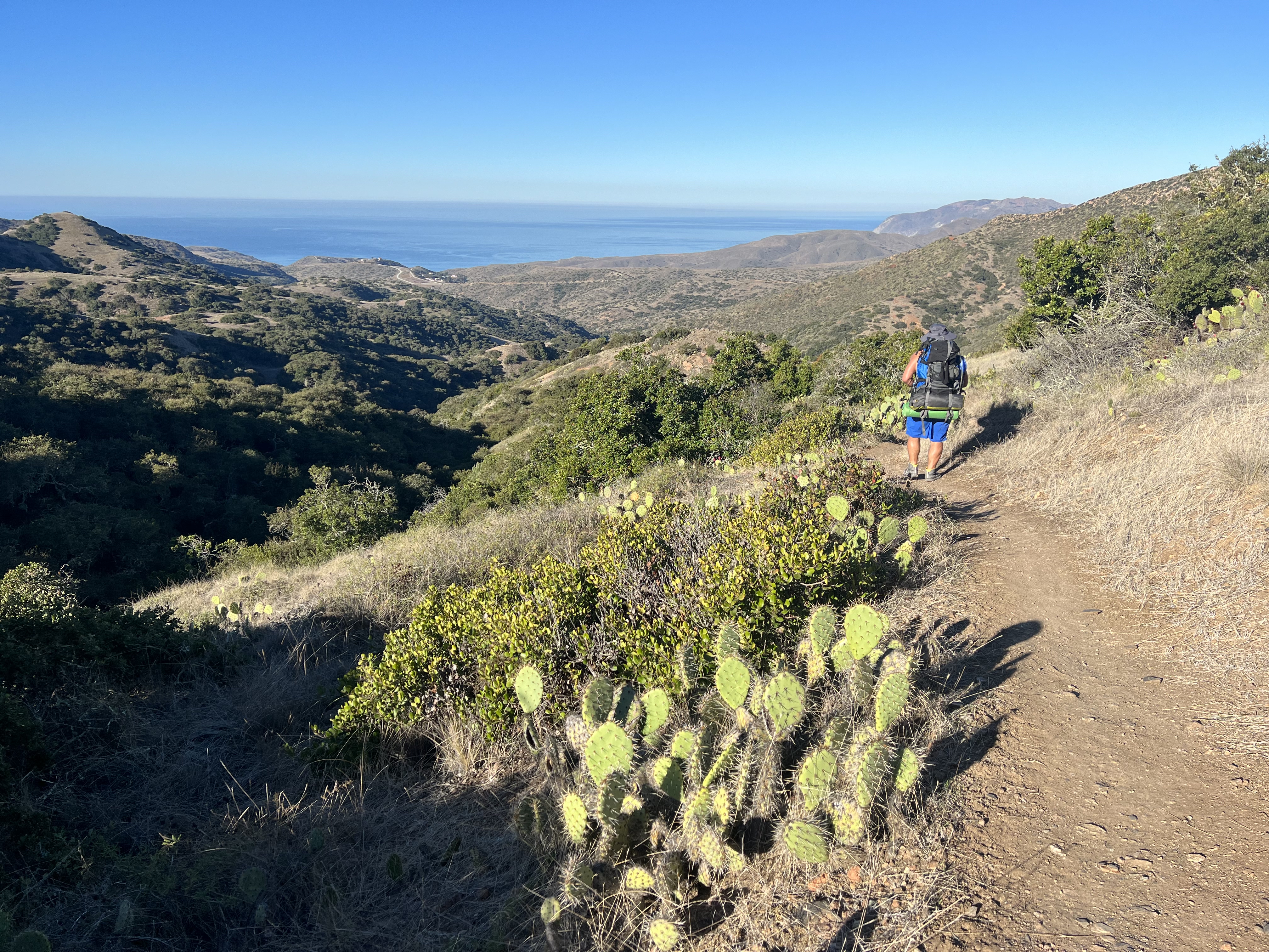
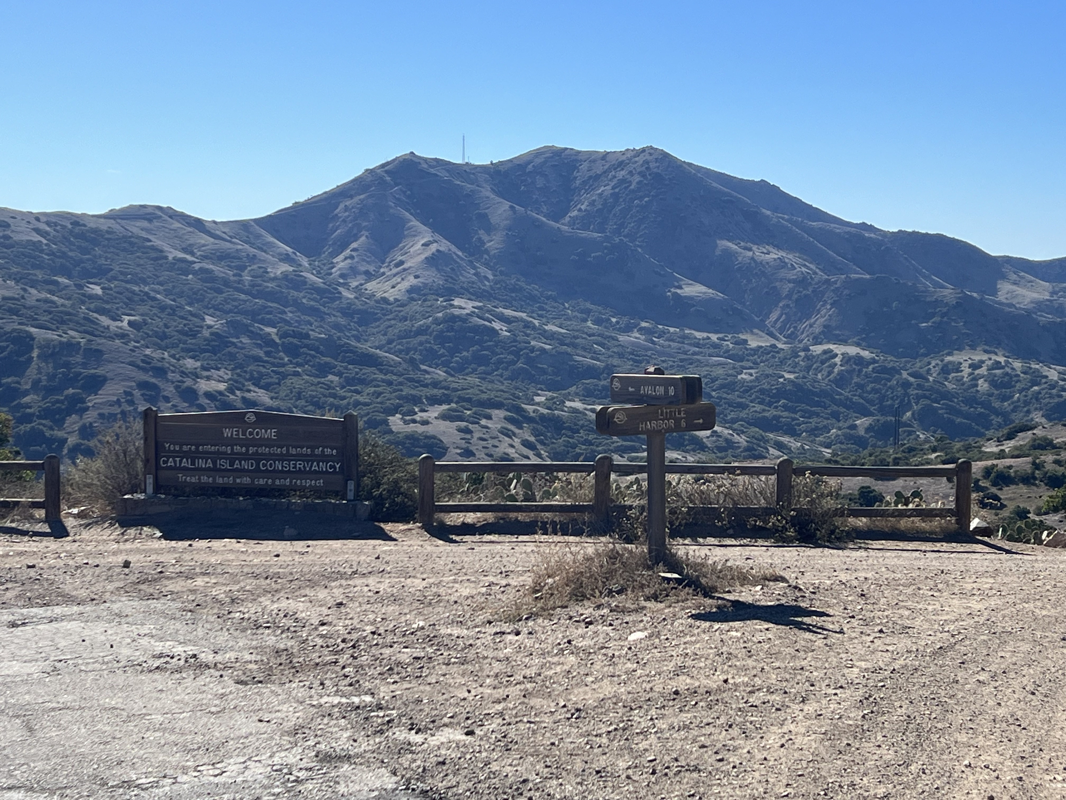
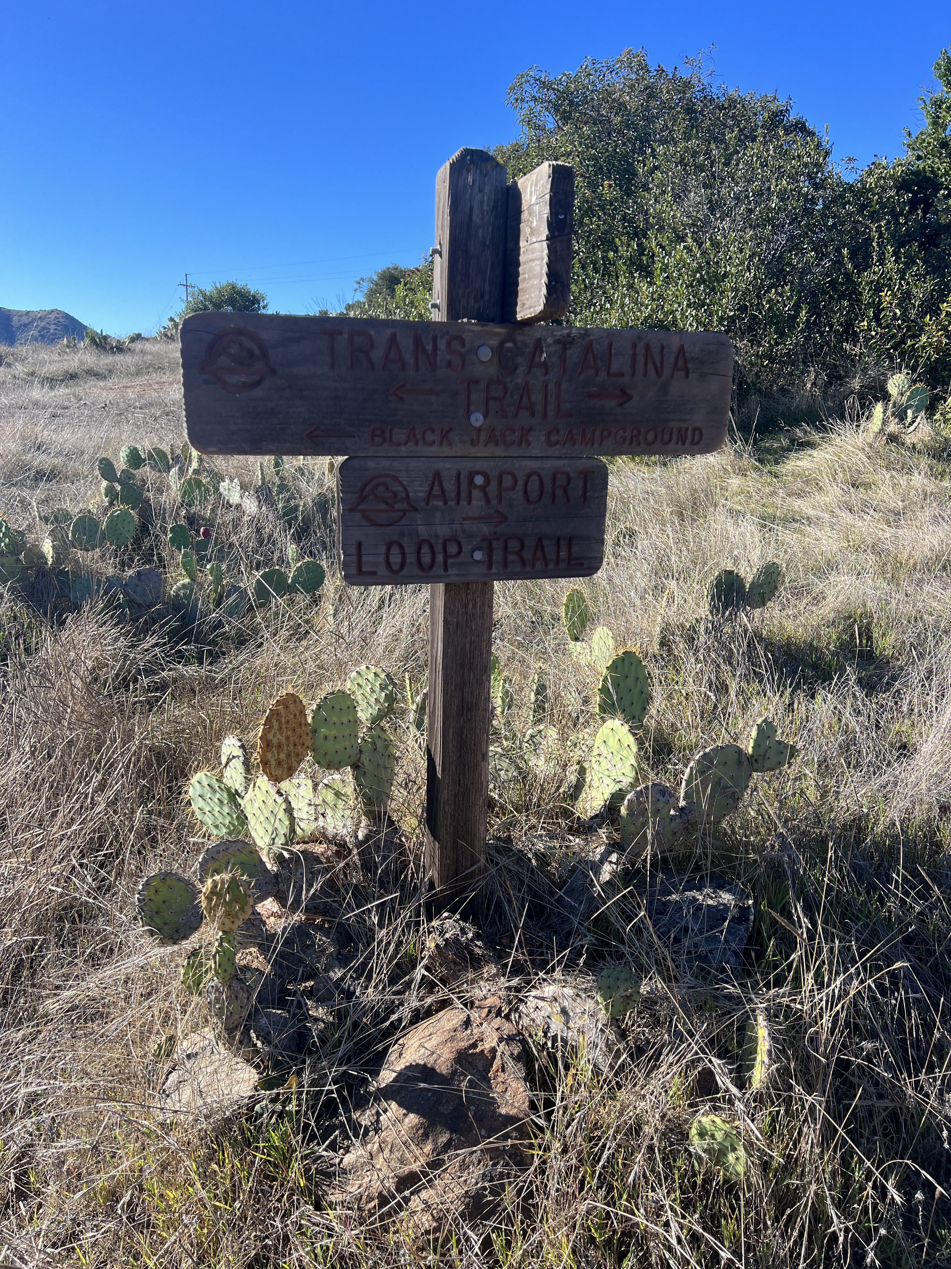
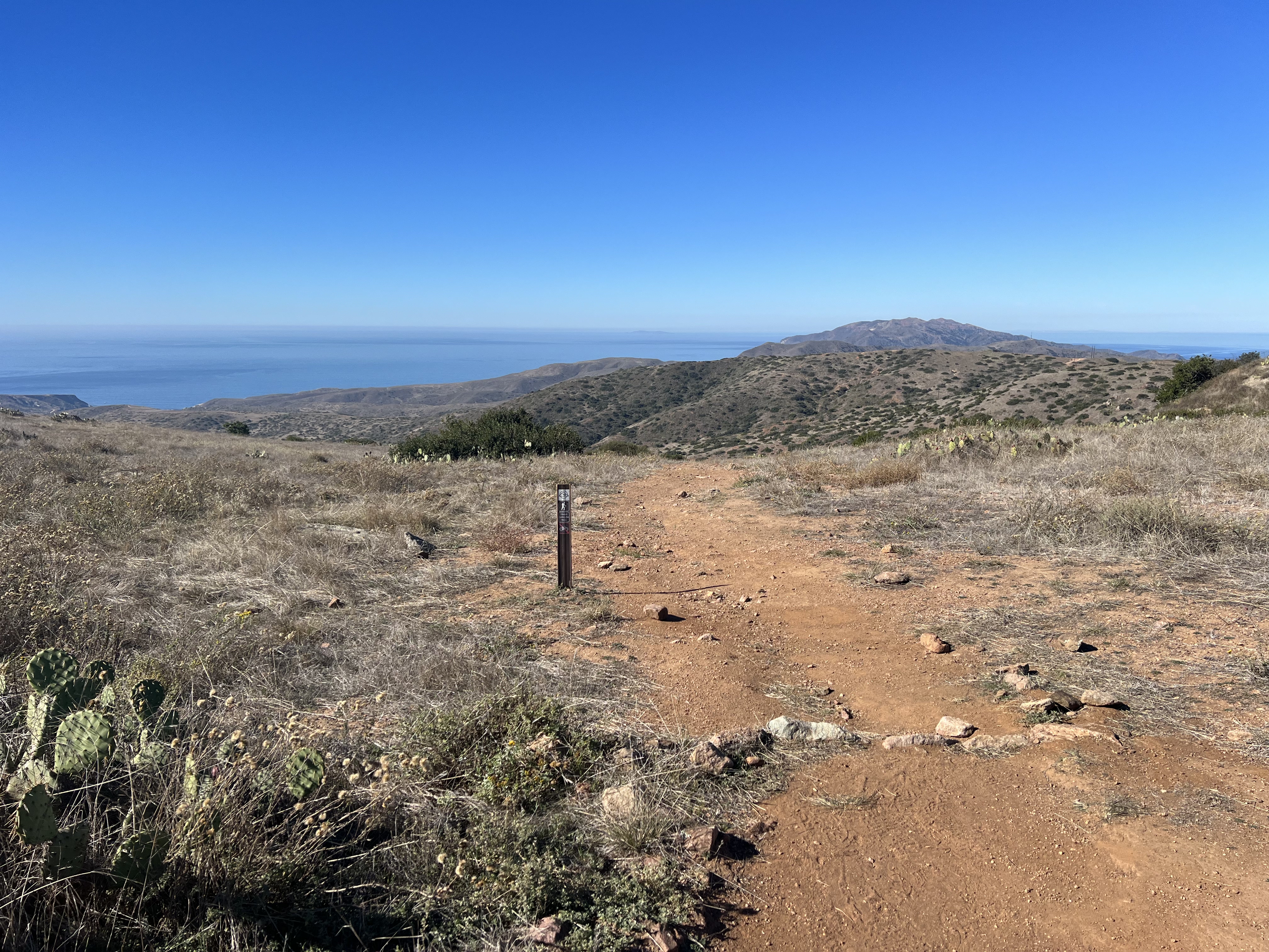
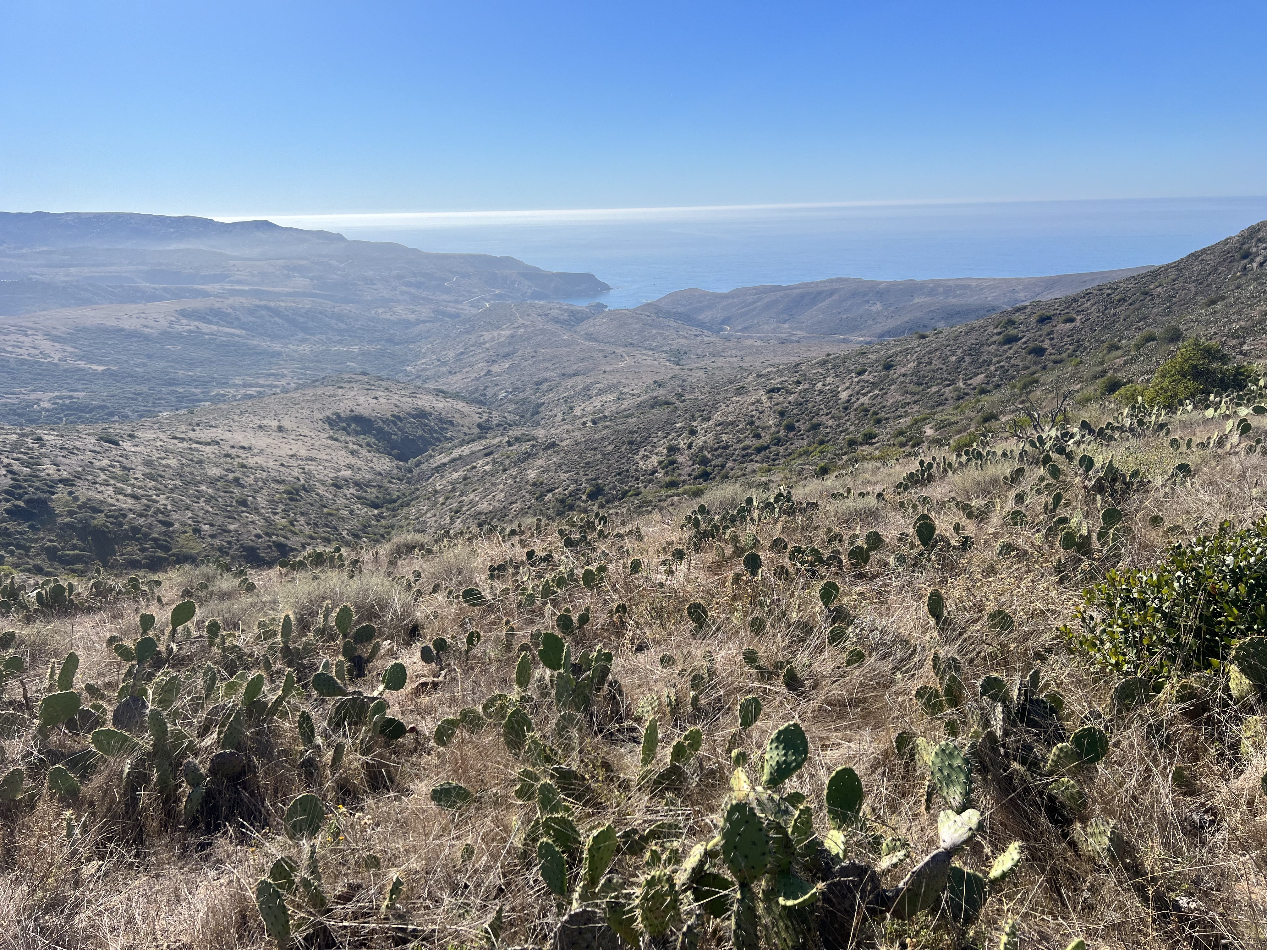
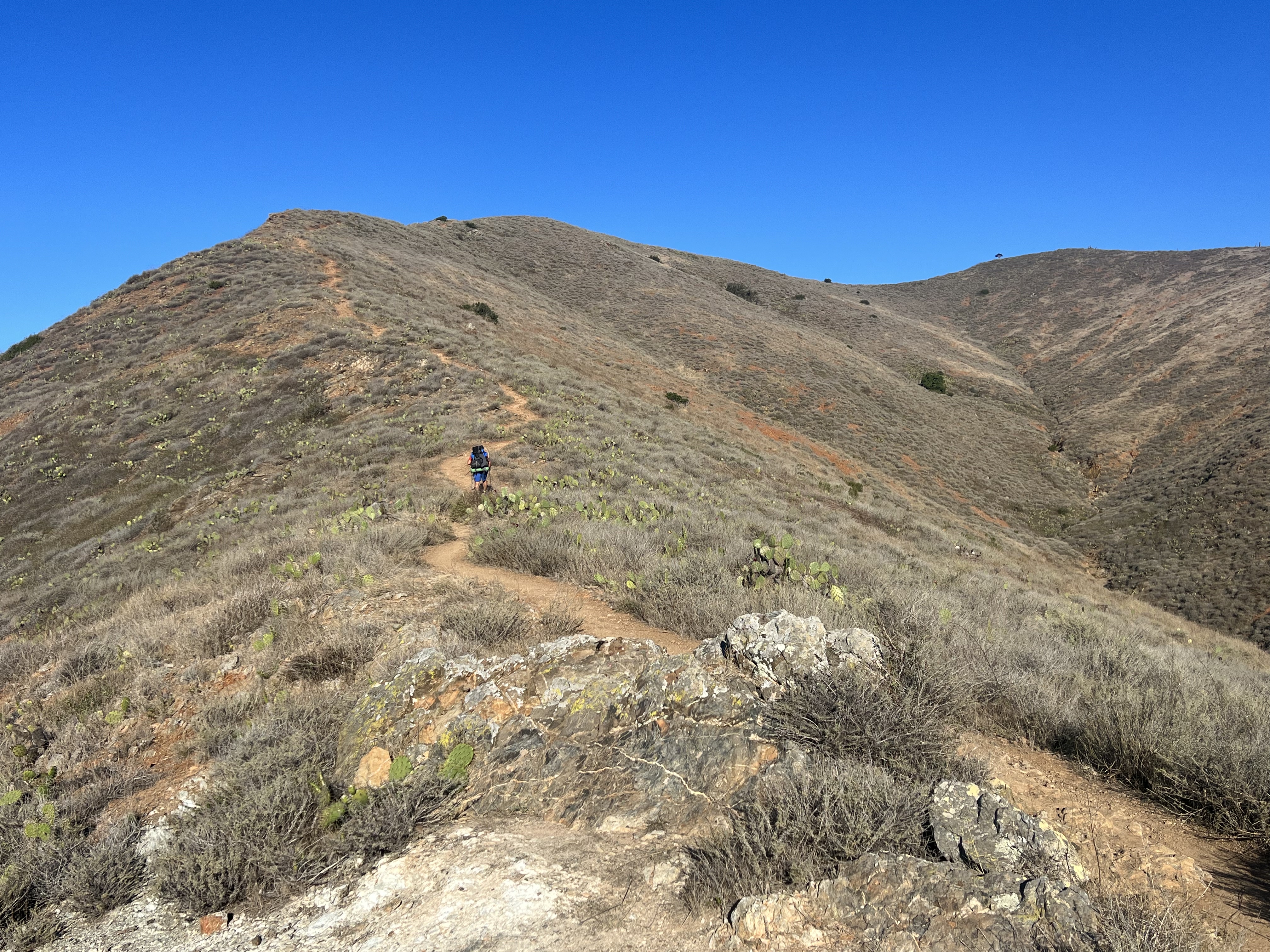
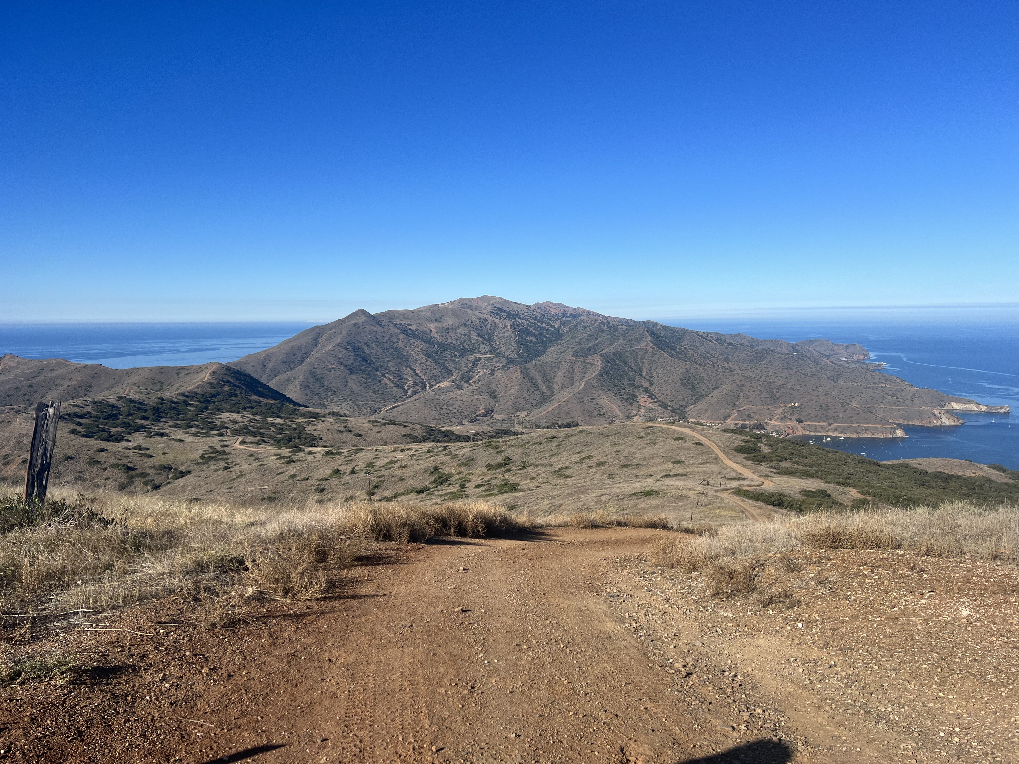
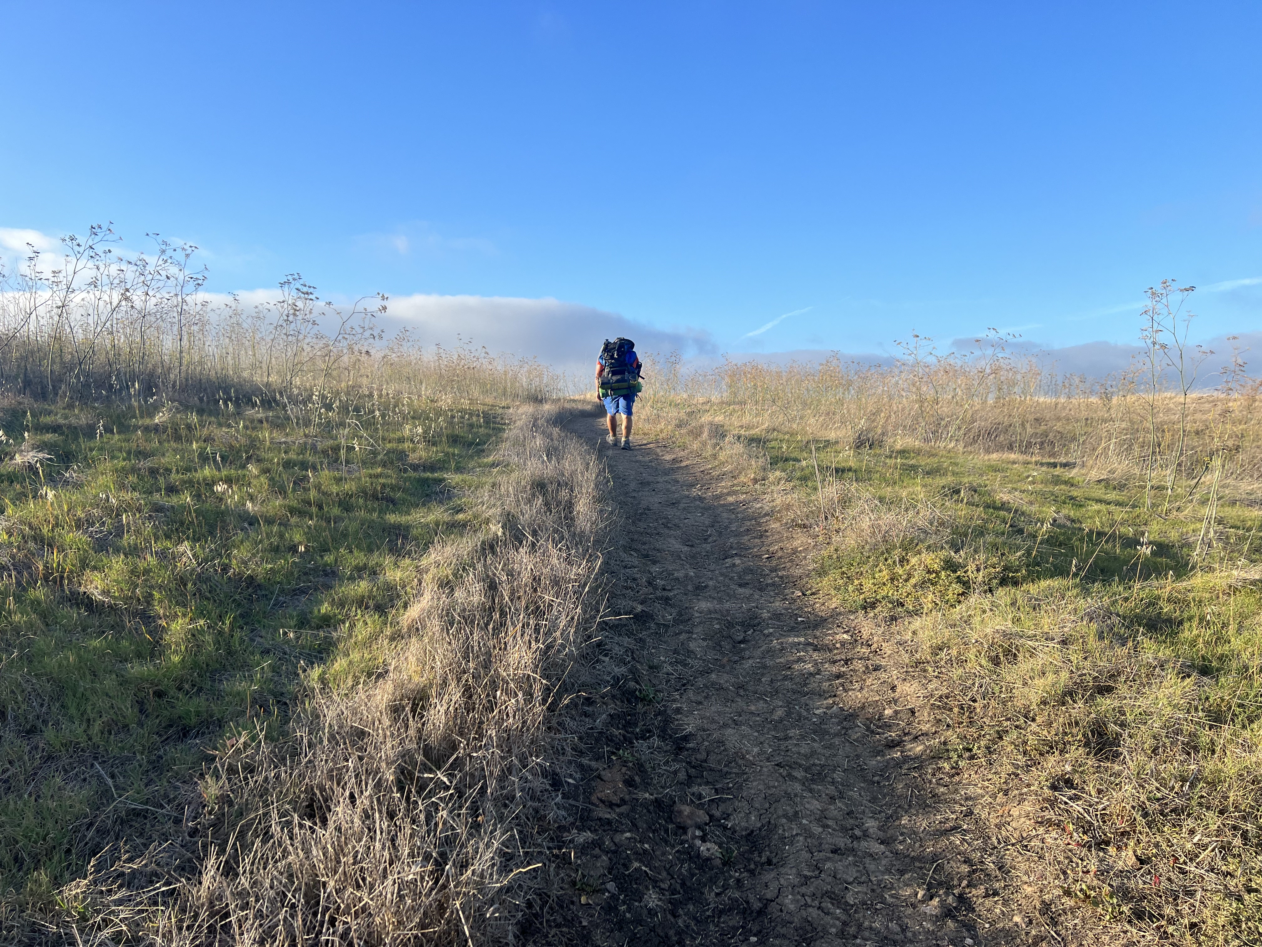
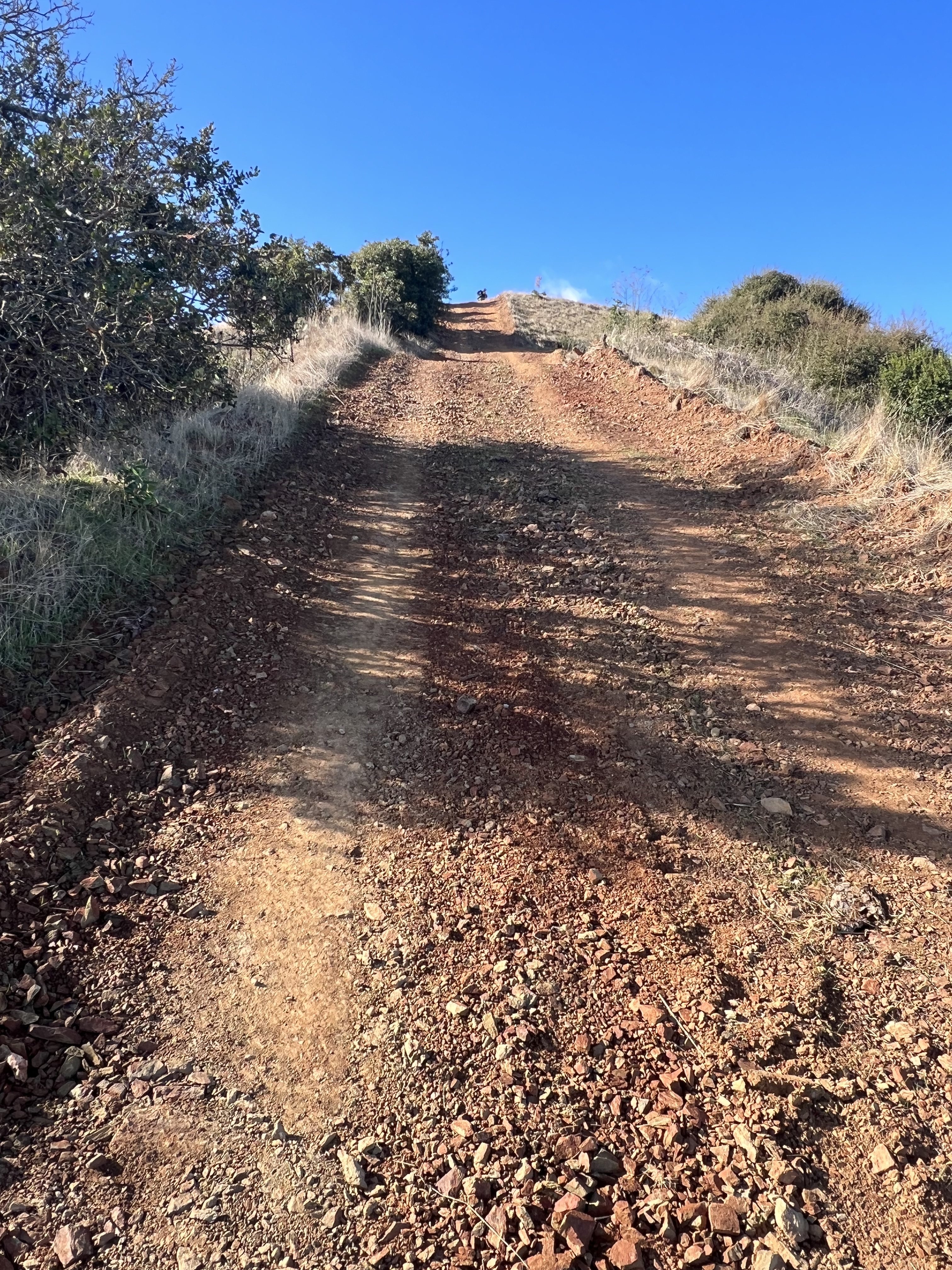
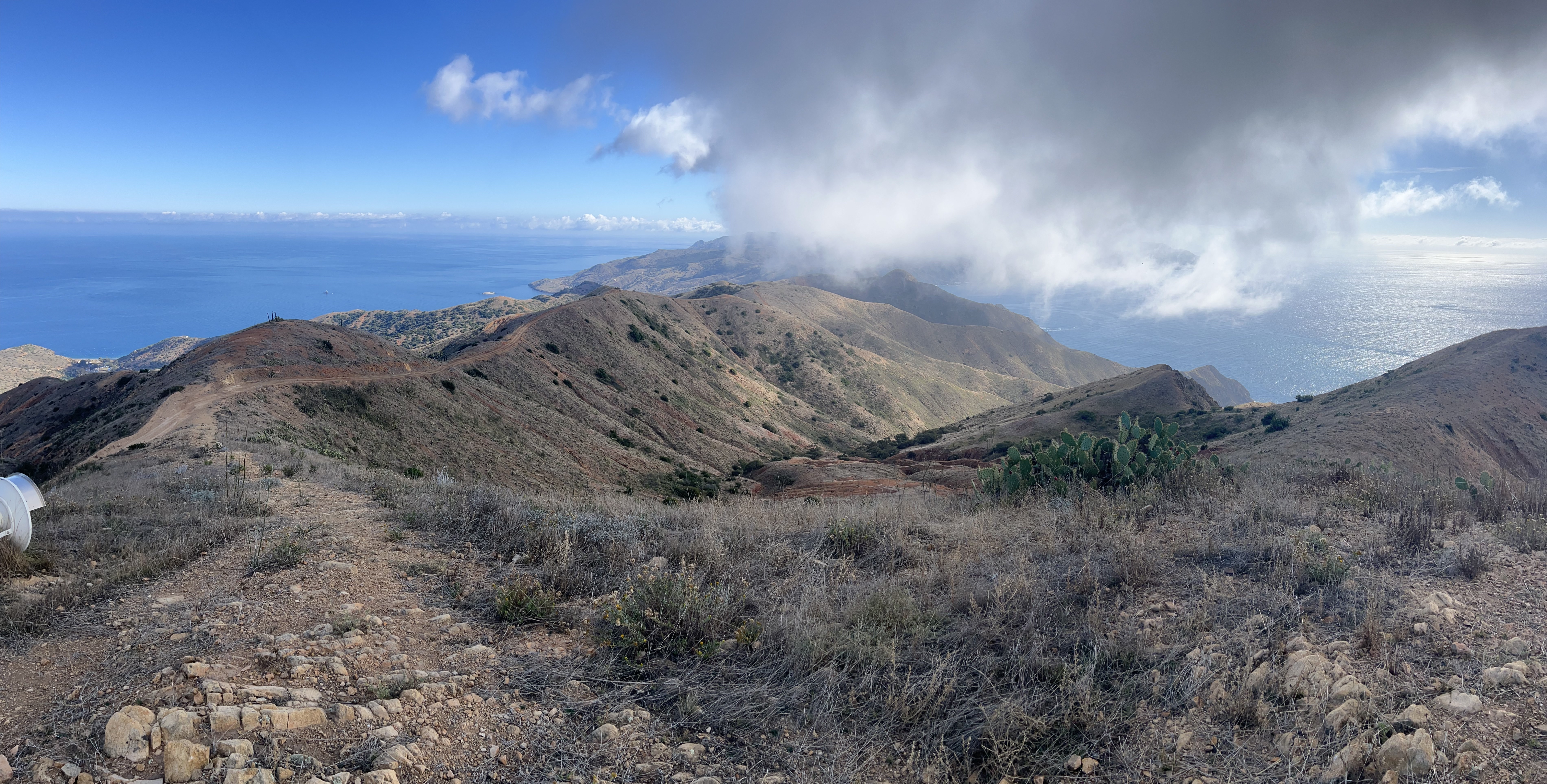
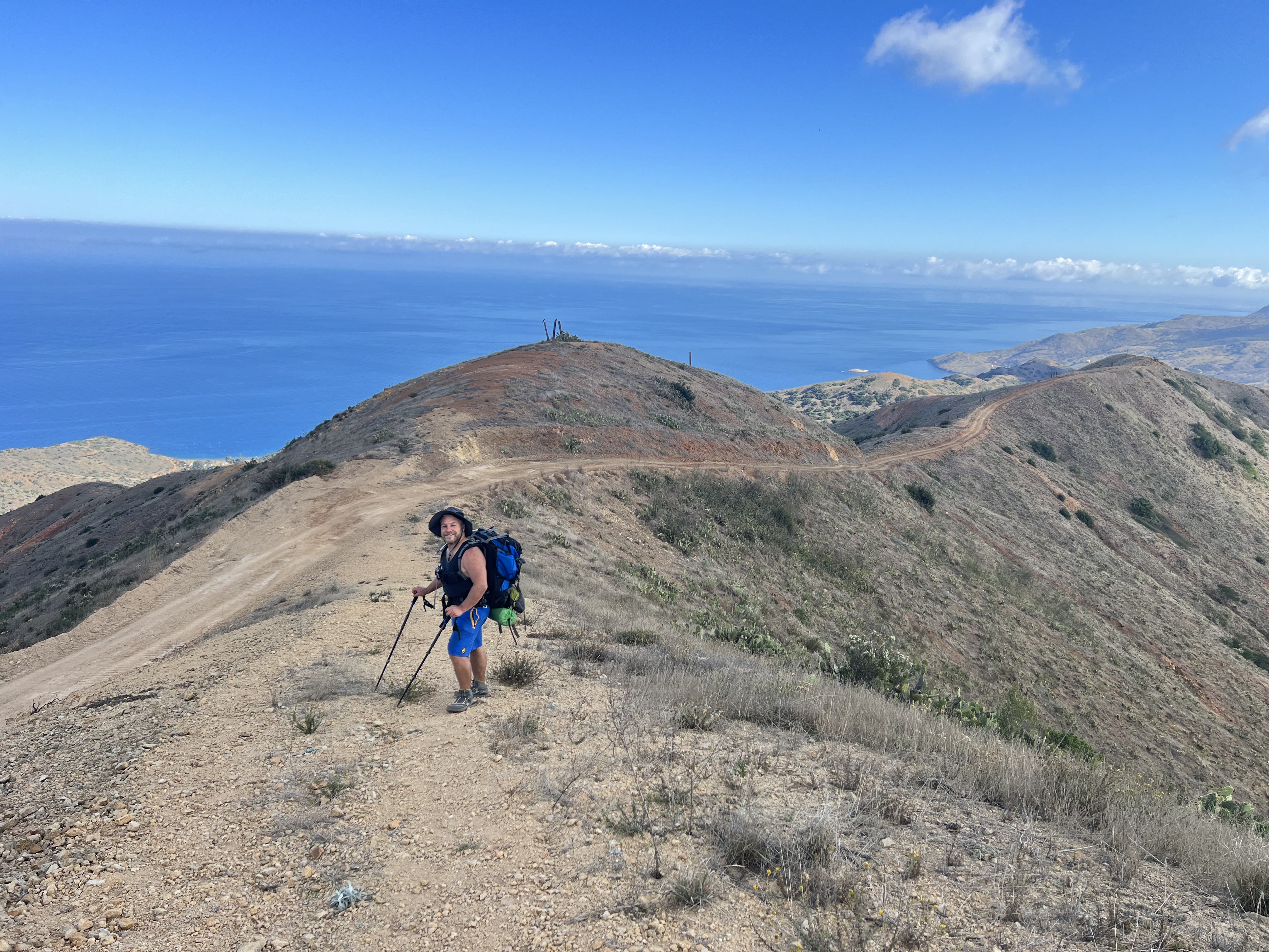
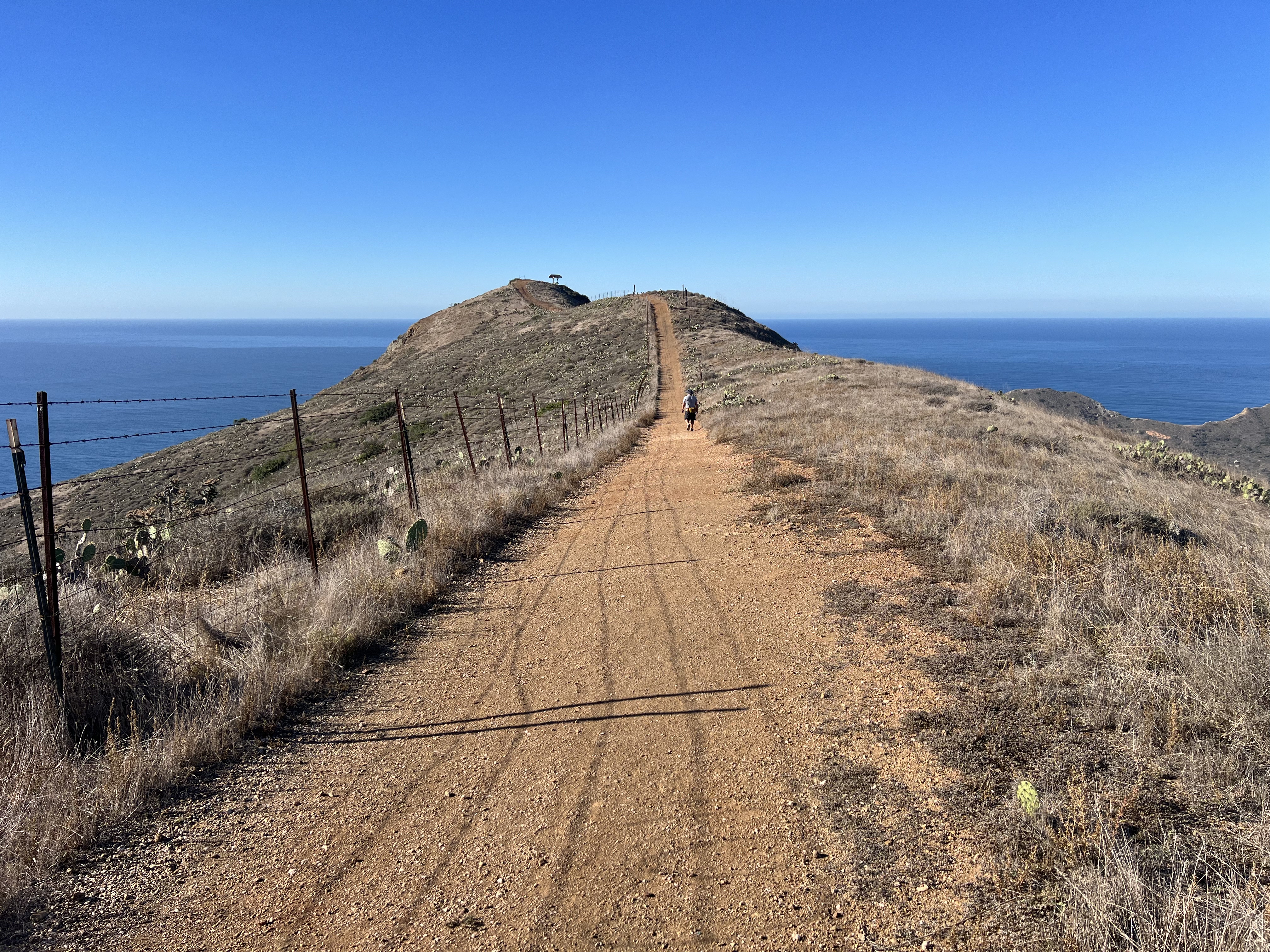
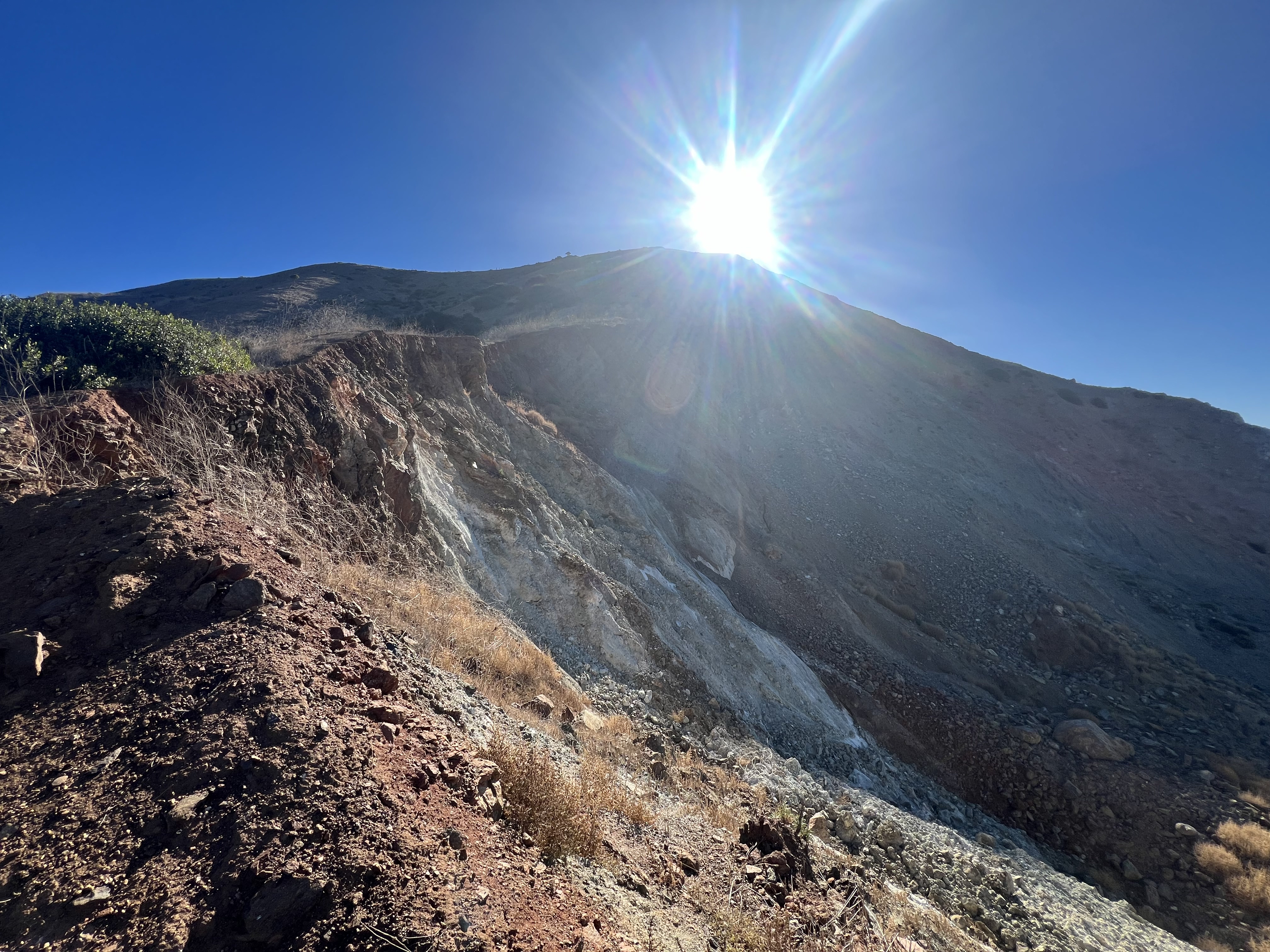
We packed up and started up the trail. Literally up. Climbing 1500′ in under 2 miles with a full pack is always a chore, and it was starting to get hot at 930am. We talked about how being a little chilly would be nice (oh, the irony). In just over an hour, we reached the ridge, where our footpath turned into a rarely used dirt road. The island has a myriad of roads and trails, allowing for weeks of exploring, but our goal was Black Jack Campground, now 7.5 miles and +2,000′ to go. We could look down and see Avalon in the distance, now appearing just a tiny, quiet enclave and not a bustling tourist town.

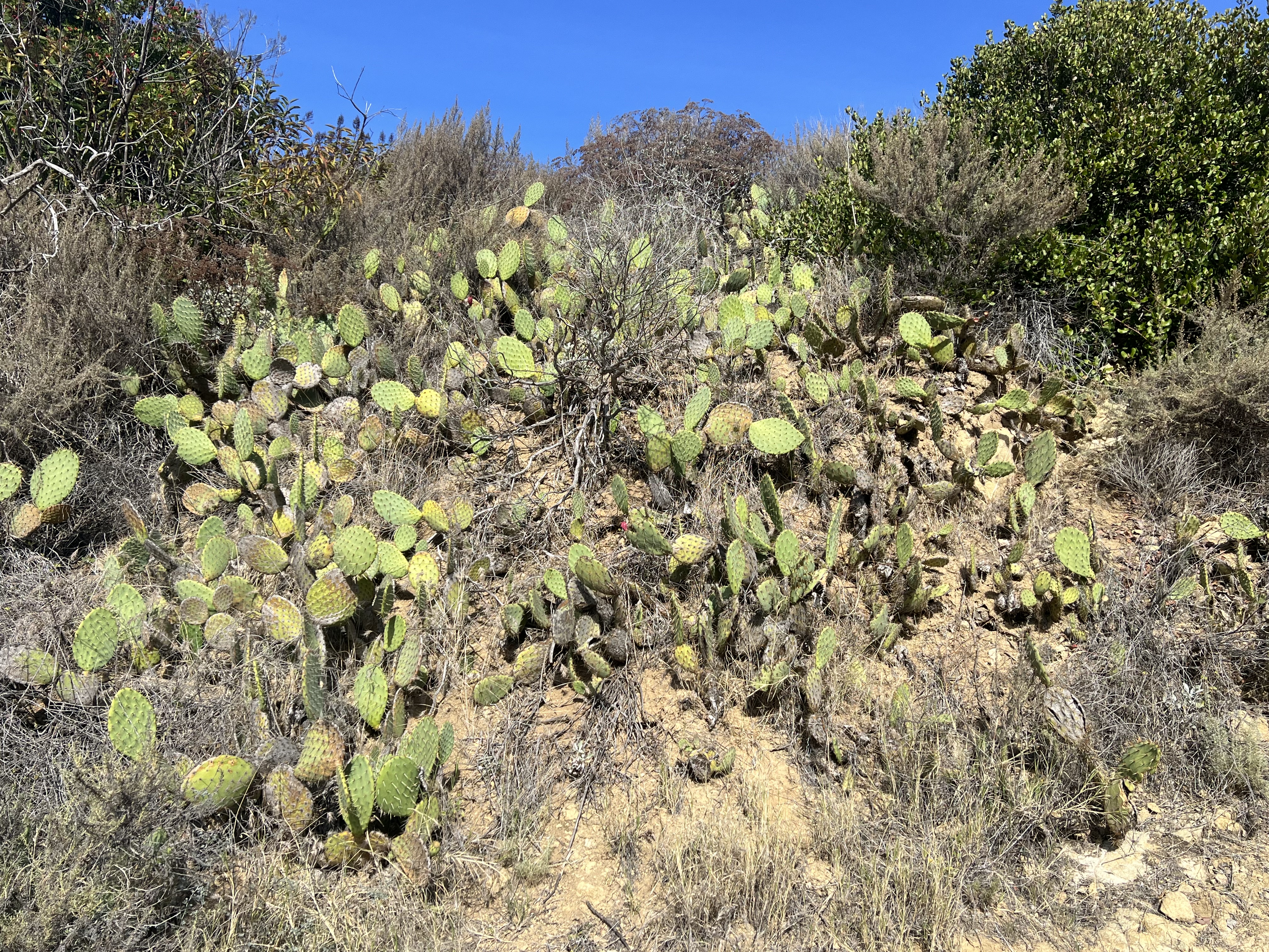

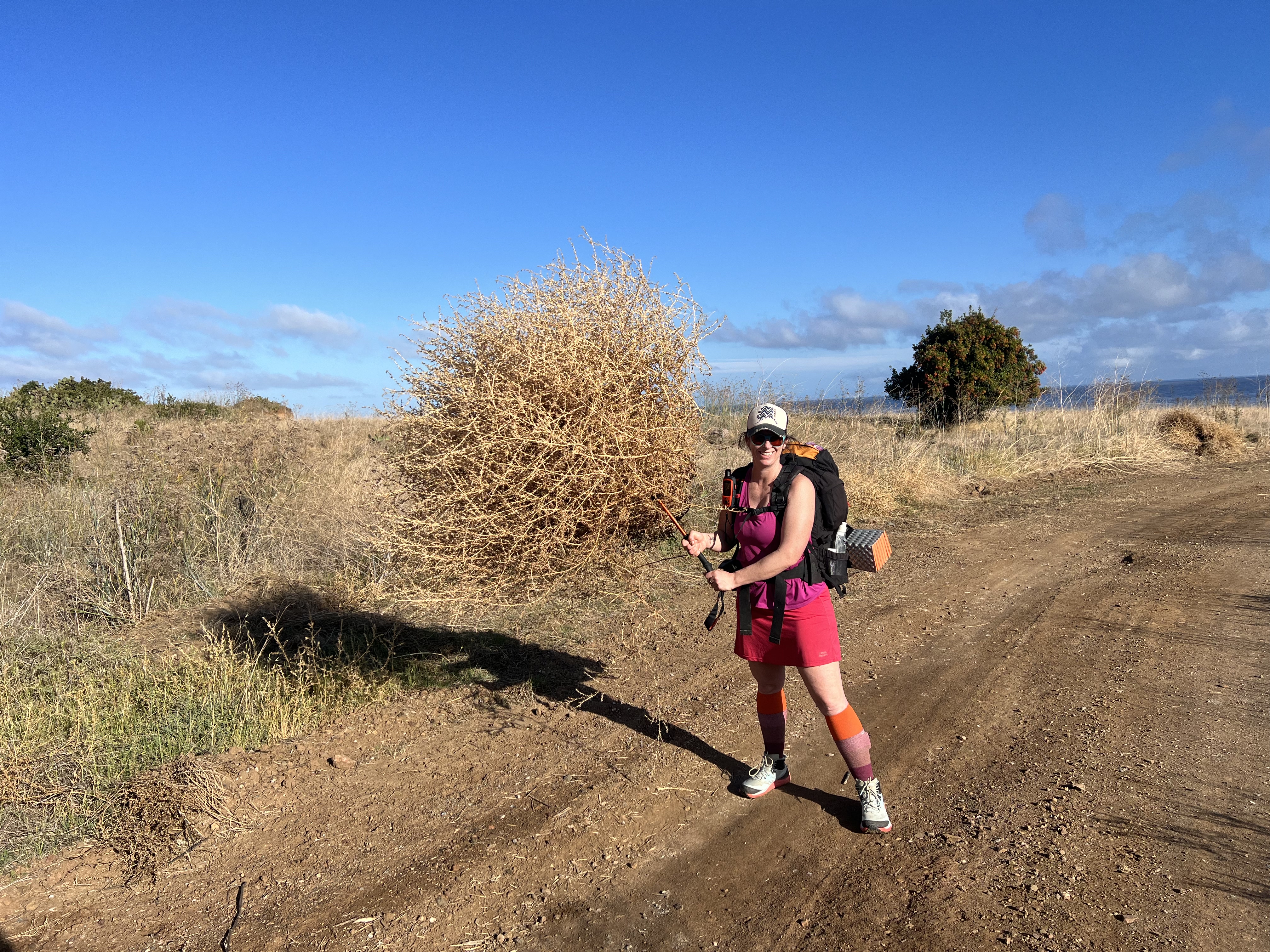
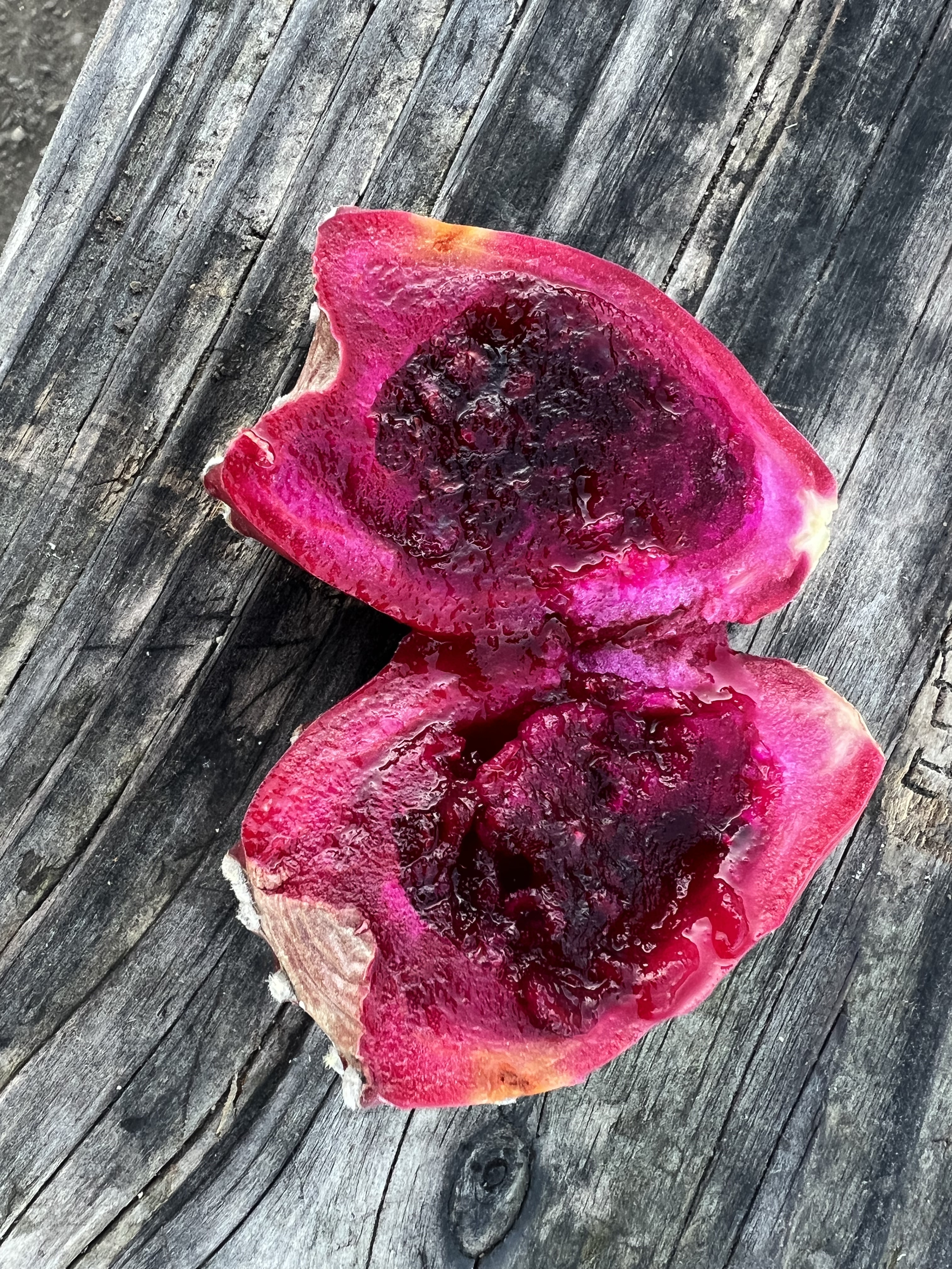
Passing some Prickly Pear Cactuses, we decided to take a taste of the bright magenta fruit blooming out of the top. Struggling to pull the fruit off, the tiny spikes on were impossible to avoid and before long we had mini thorns in our fingers, our lips, and tongues. The fruit was delicious, but we were concerned about the tingling in our mouths, though it didn’t last long, and the tiny thorns were dissolved within an hour. (I later read that the best way to harvest the fruit is to burn off the tiny fruit thorns with a lighter. **Be very careful with any ignition source in this arid environment. Fires can start with just a spark and take off quickly.**)
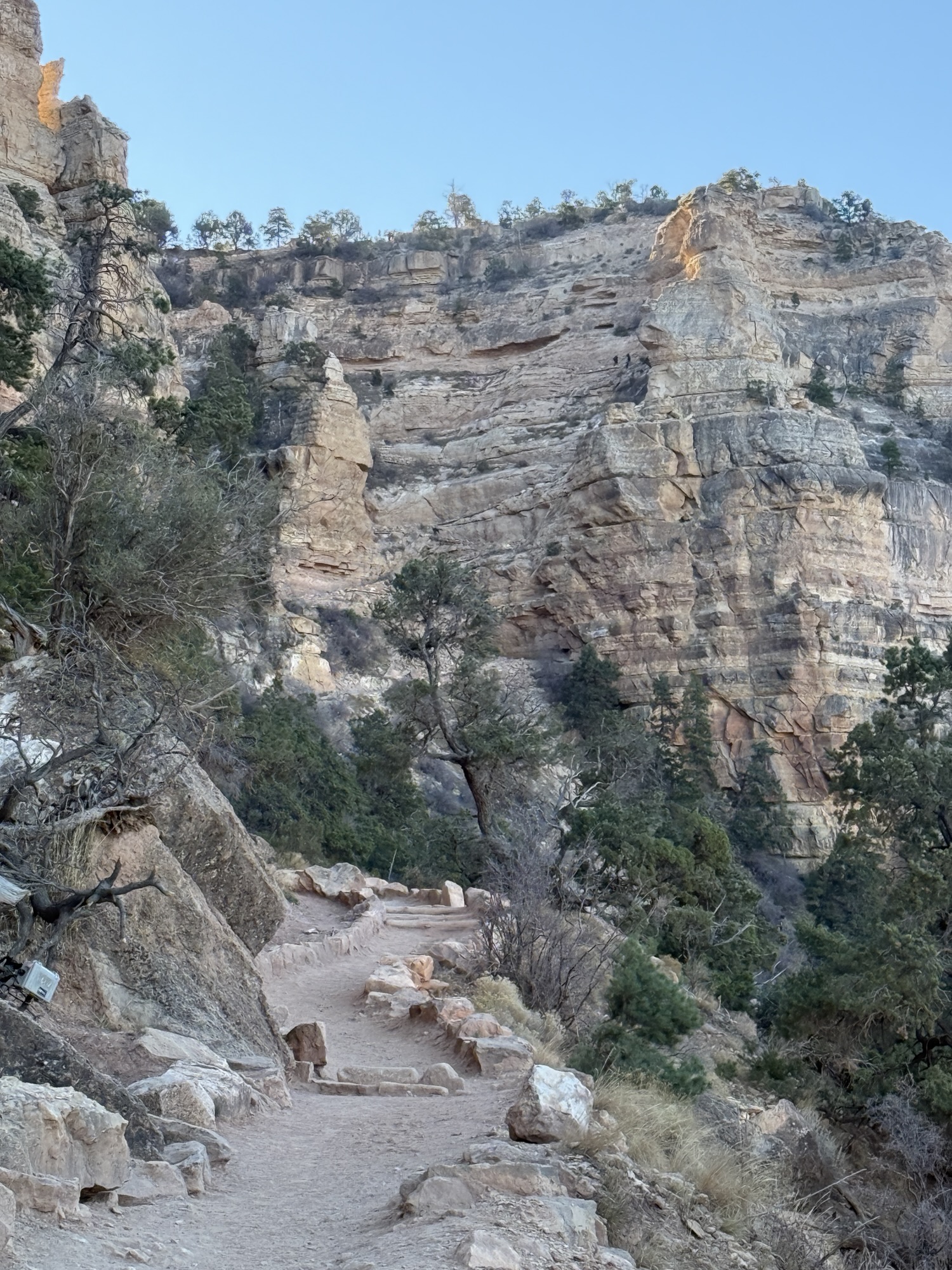
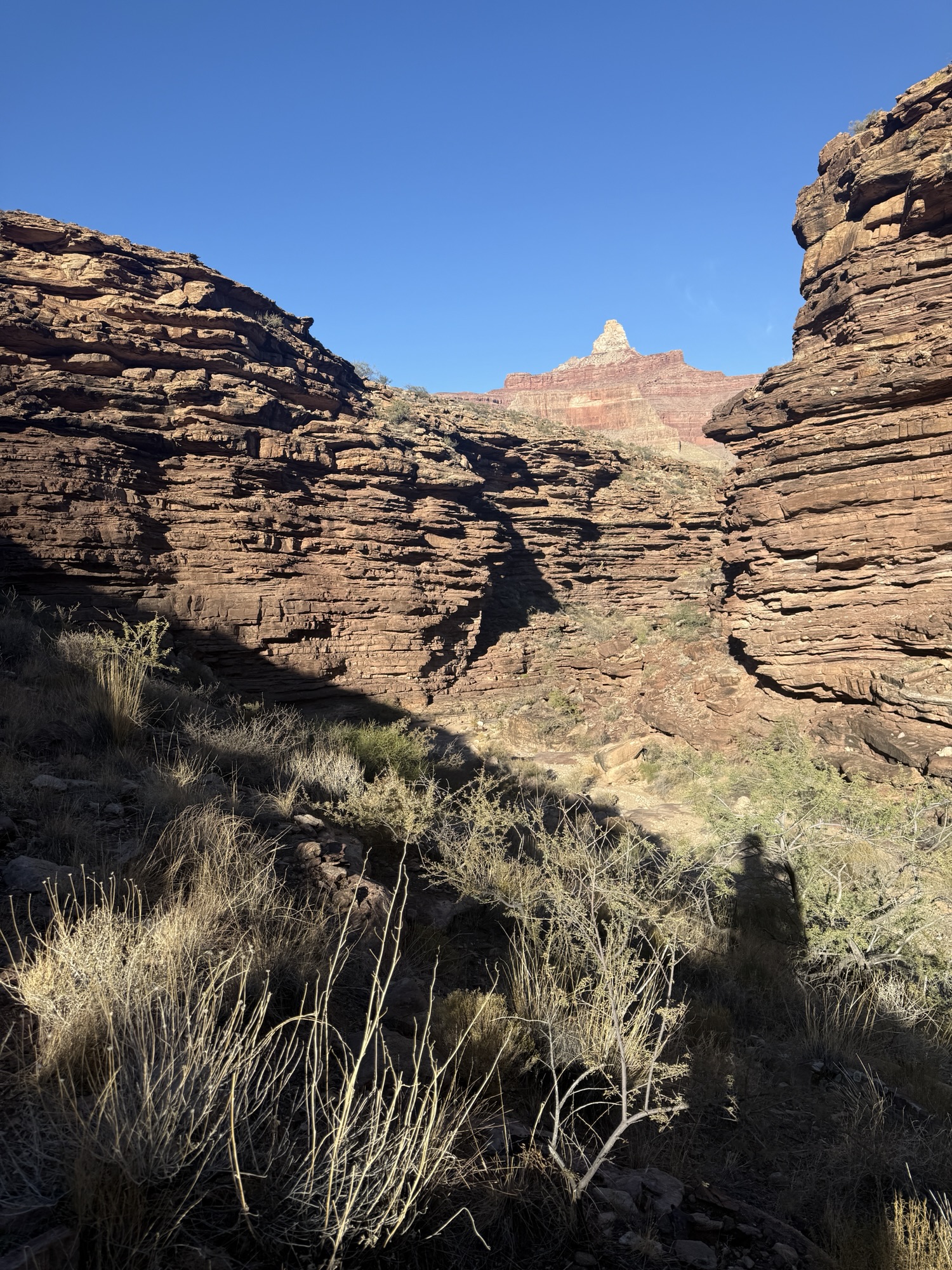
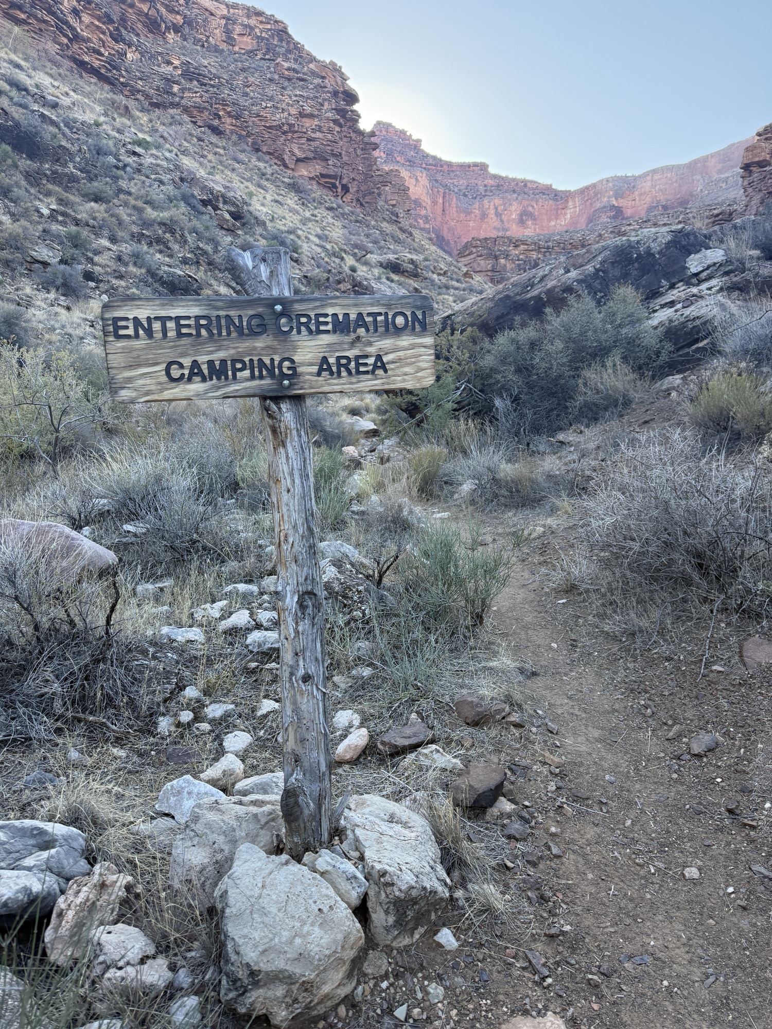
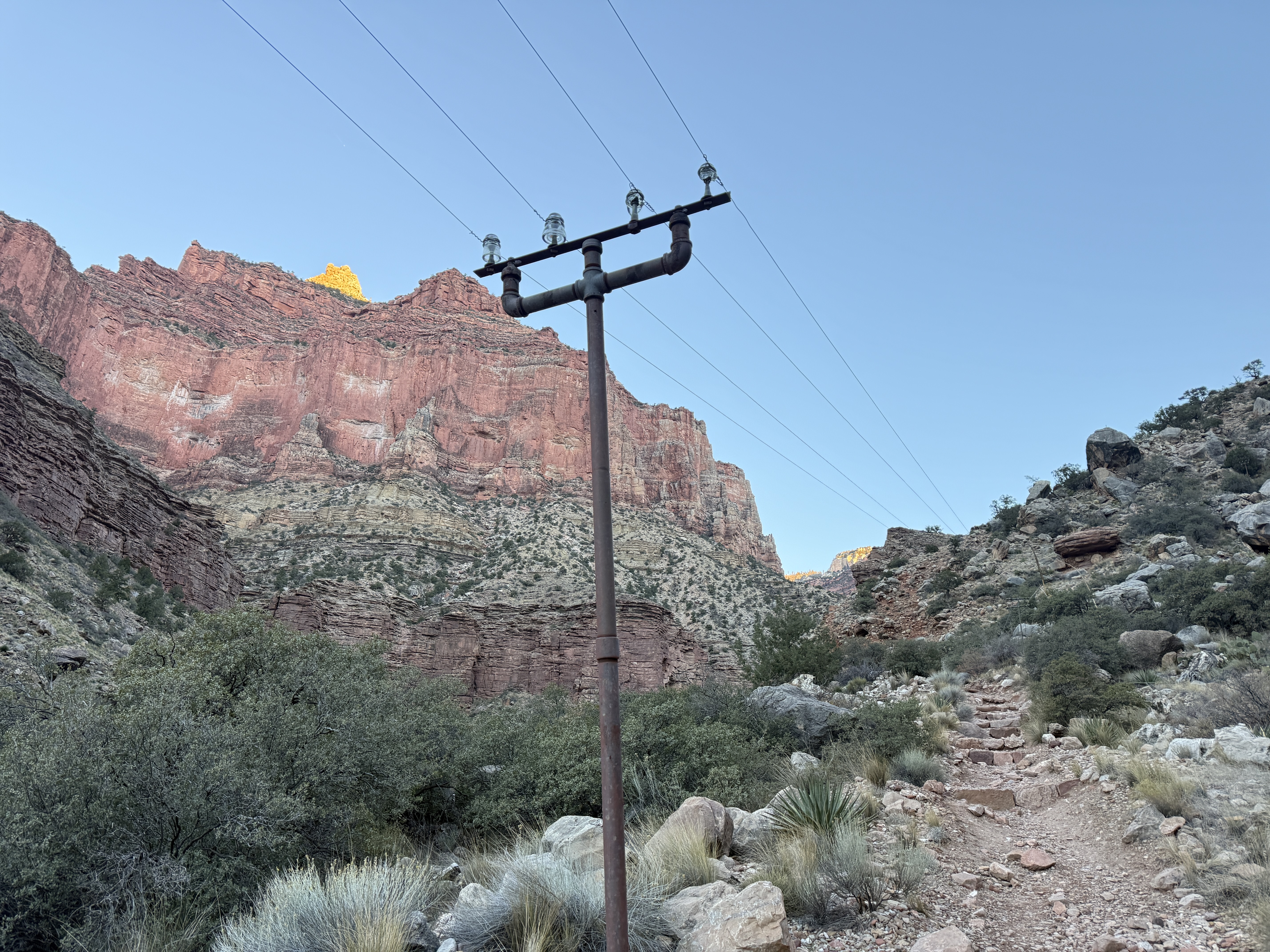
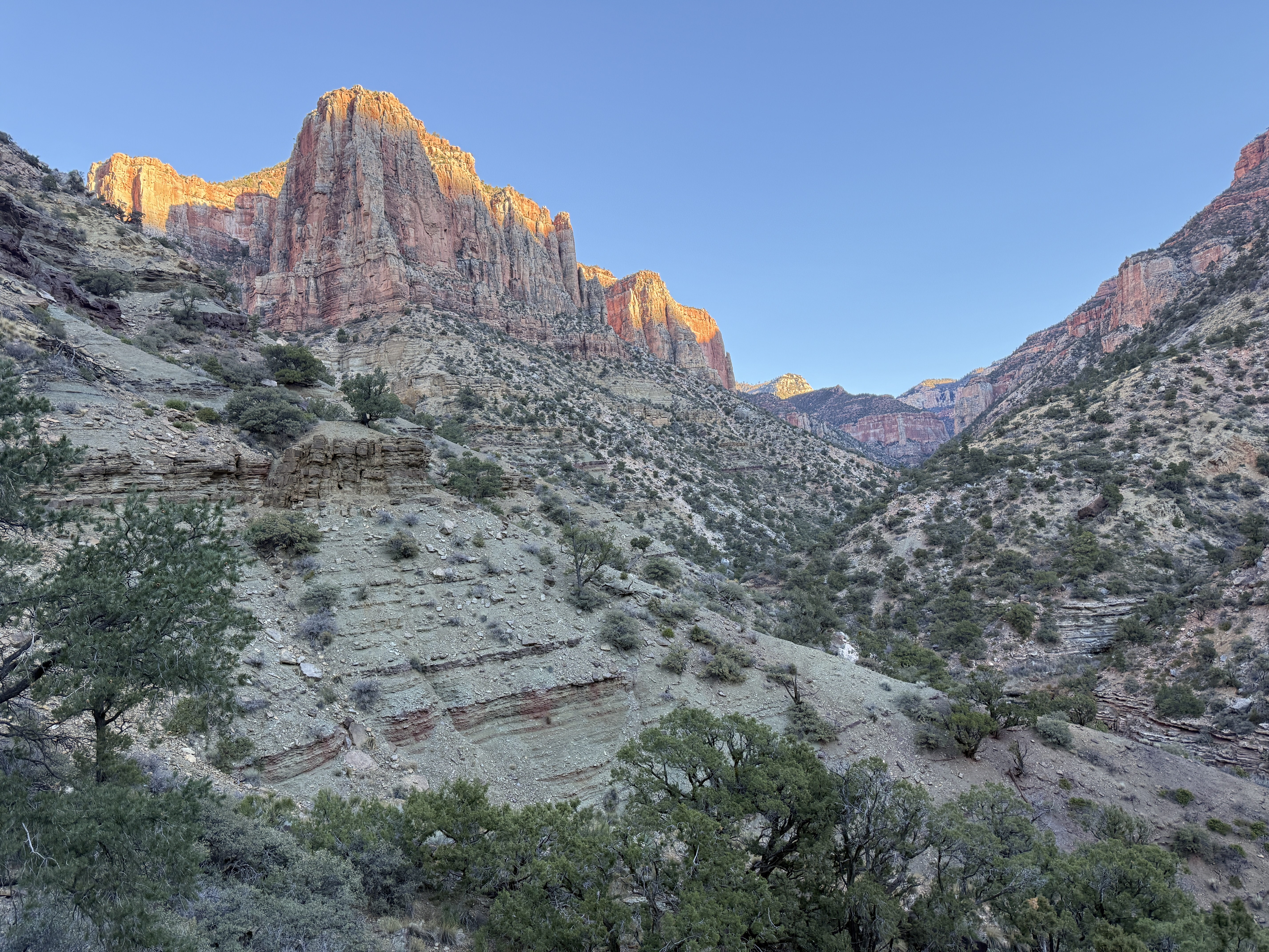
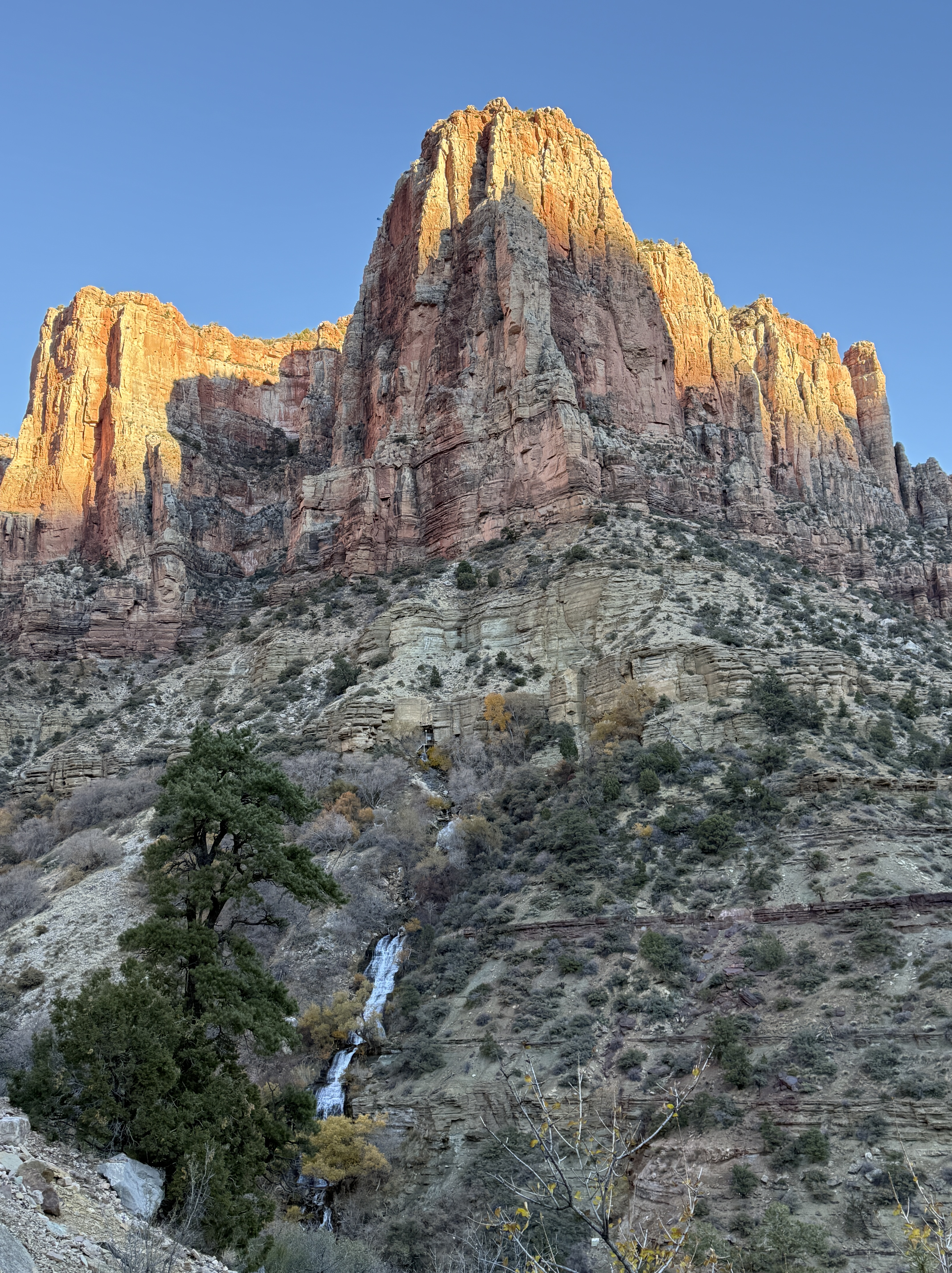
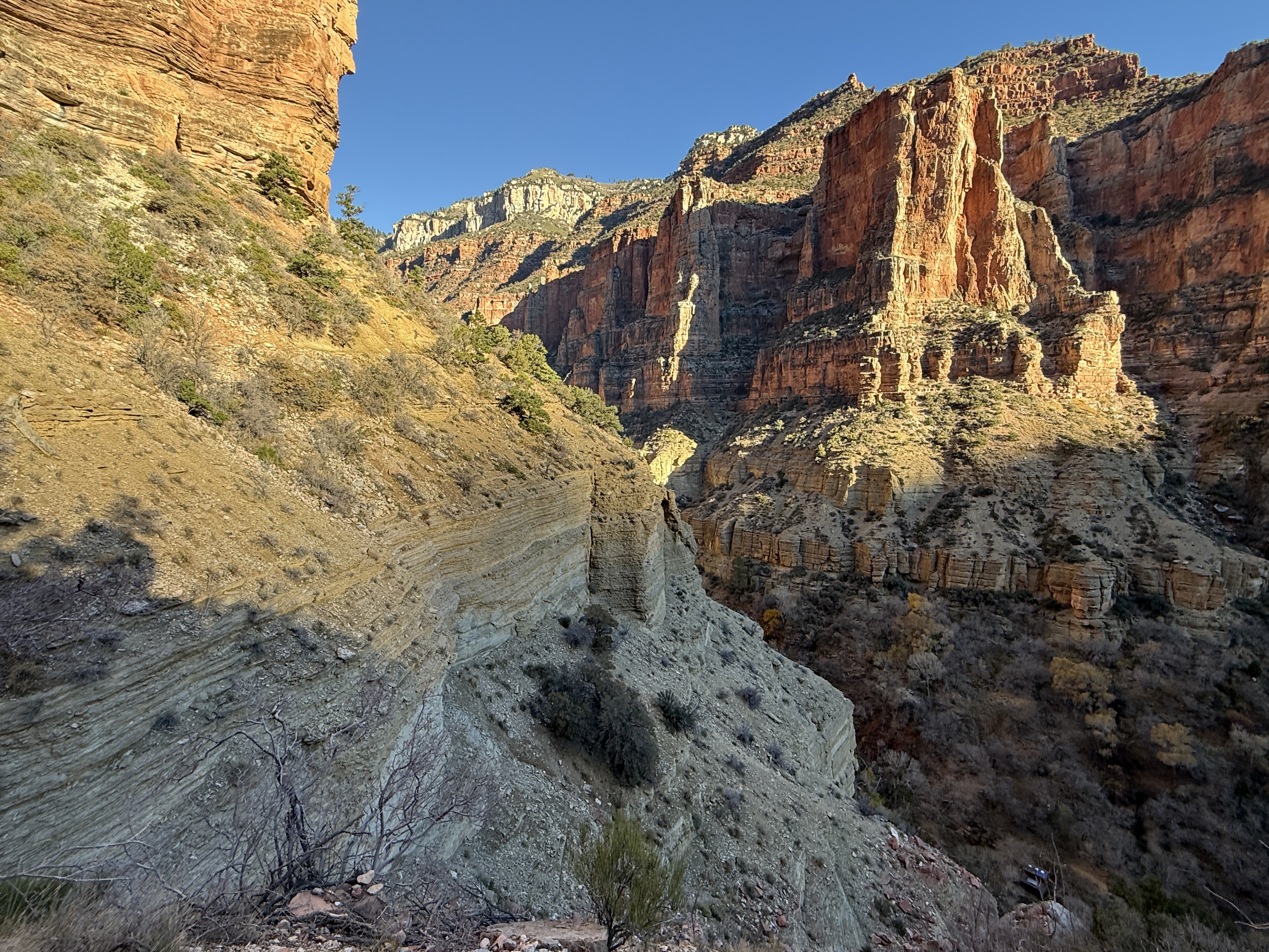
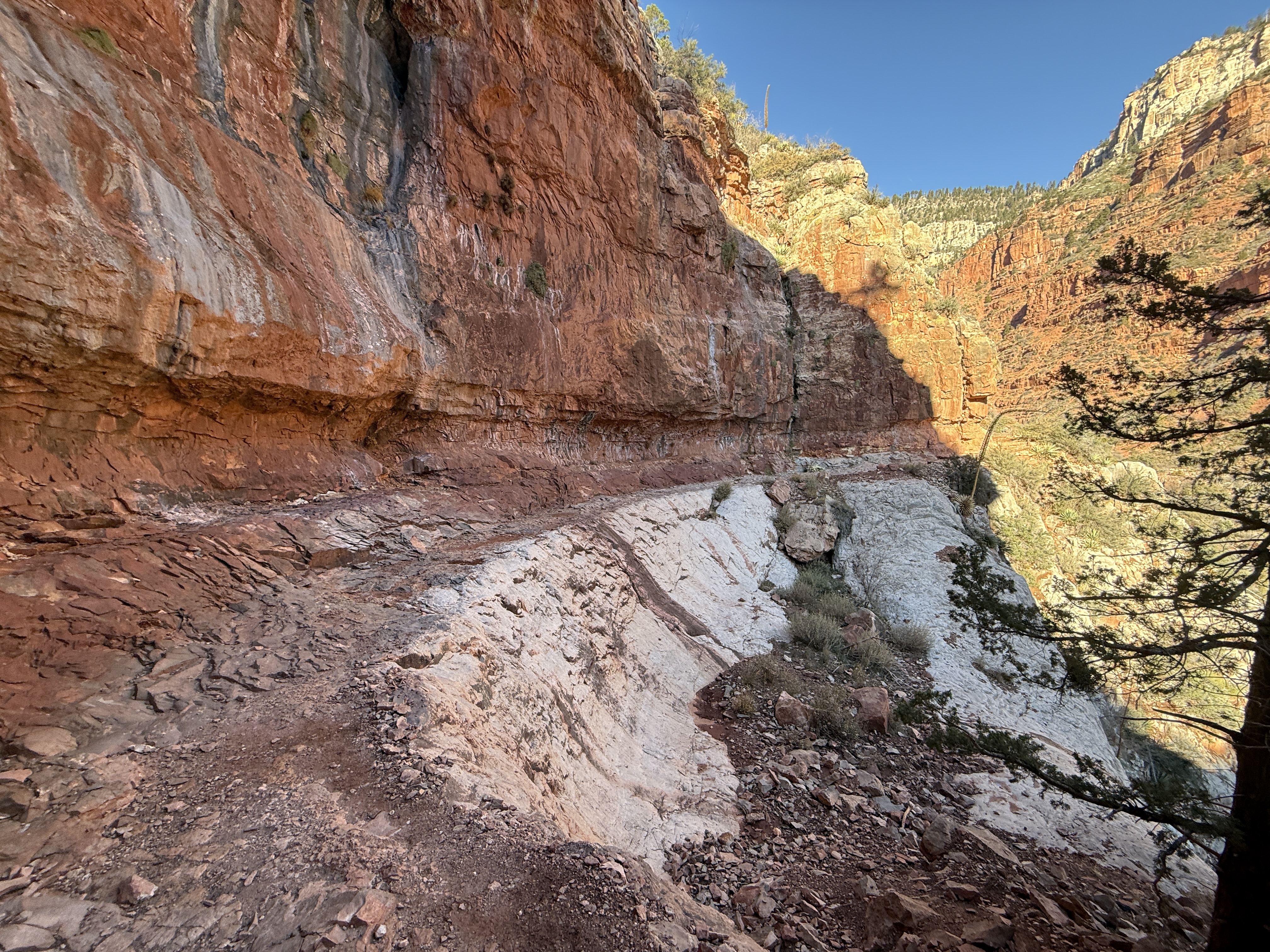
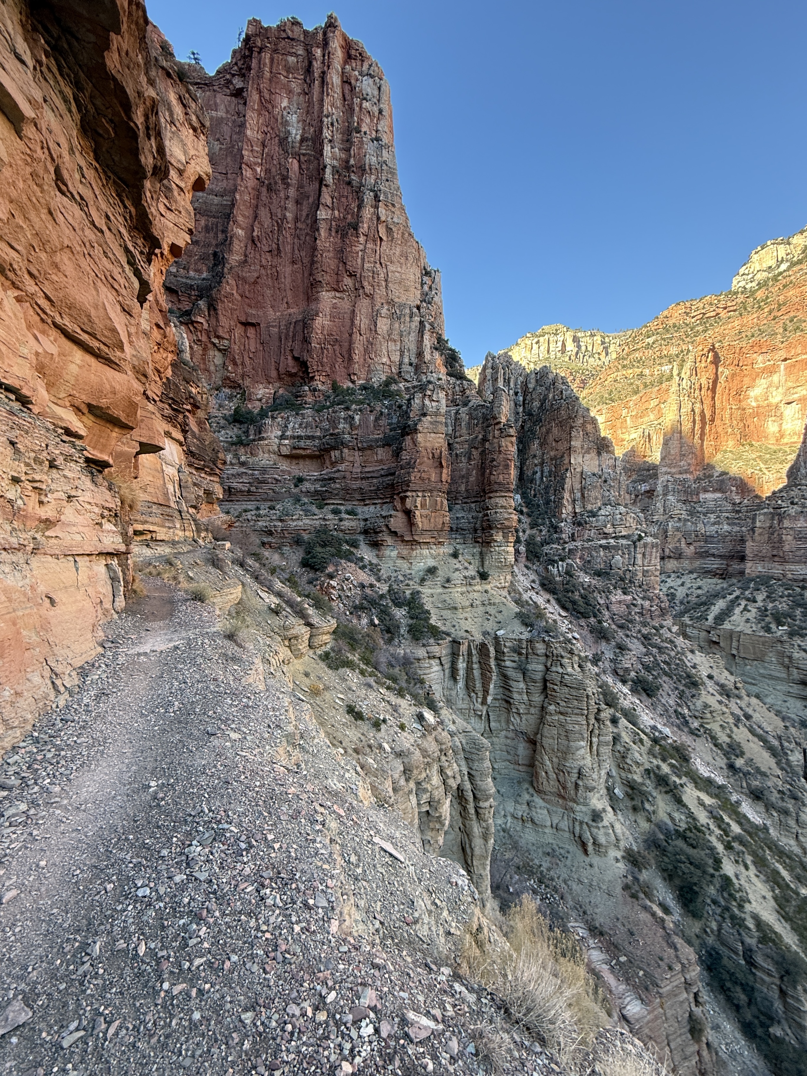
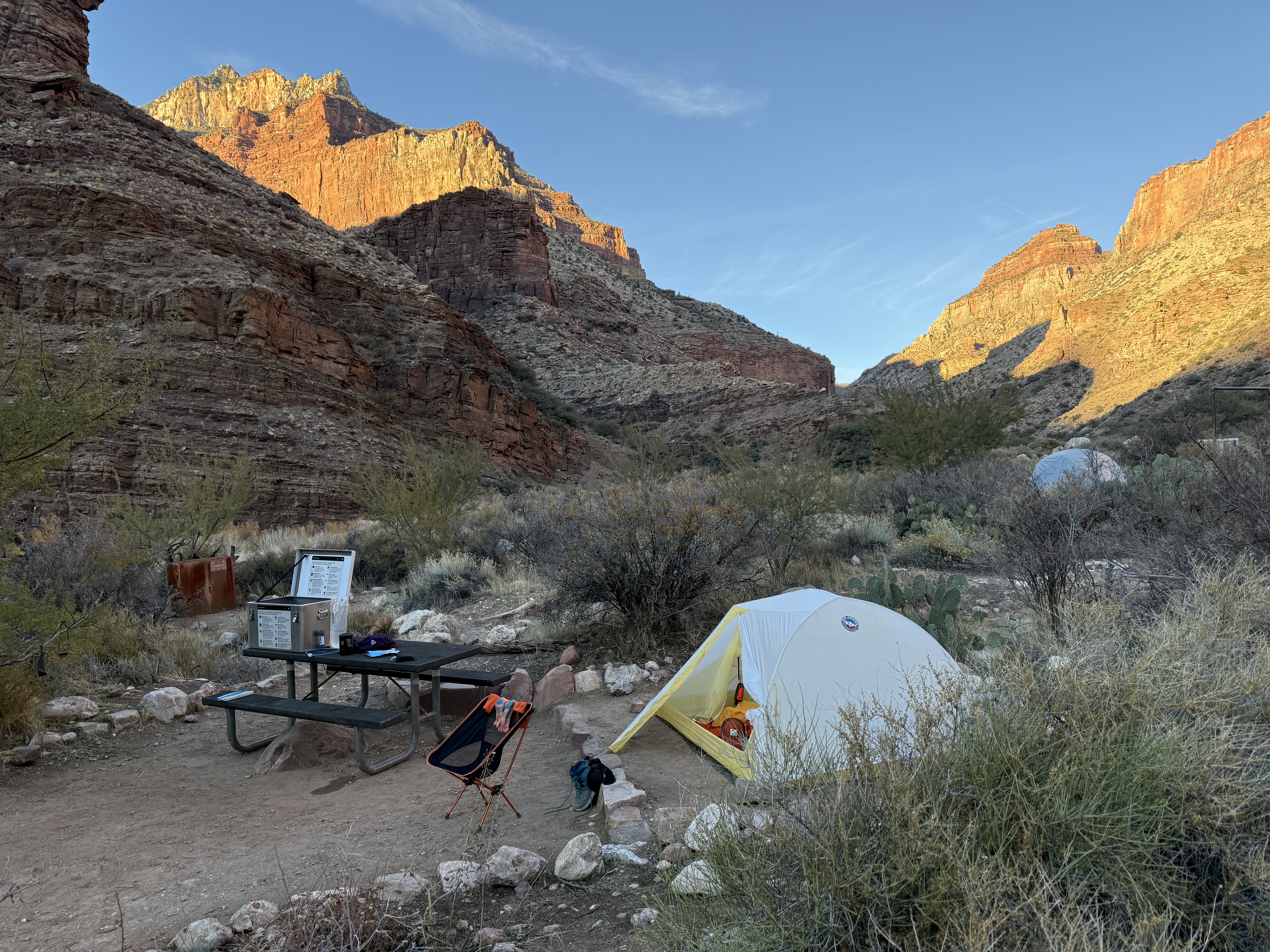
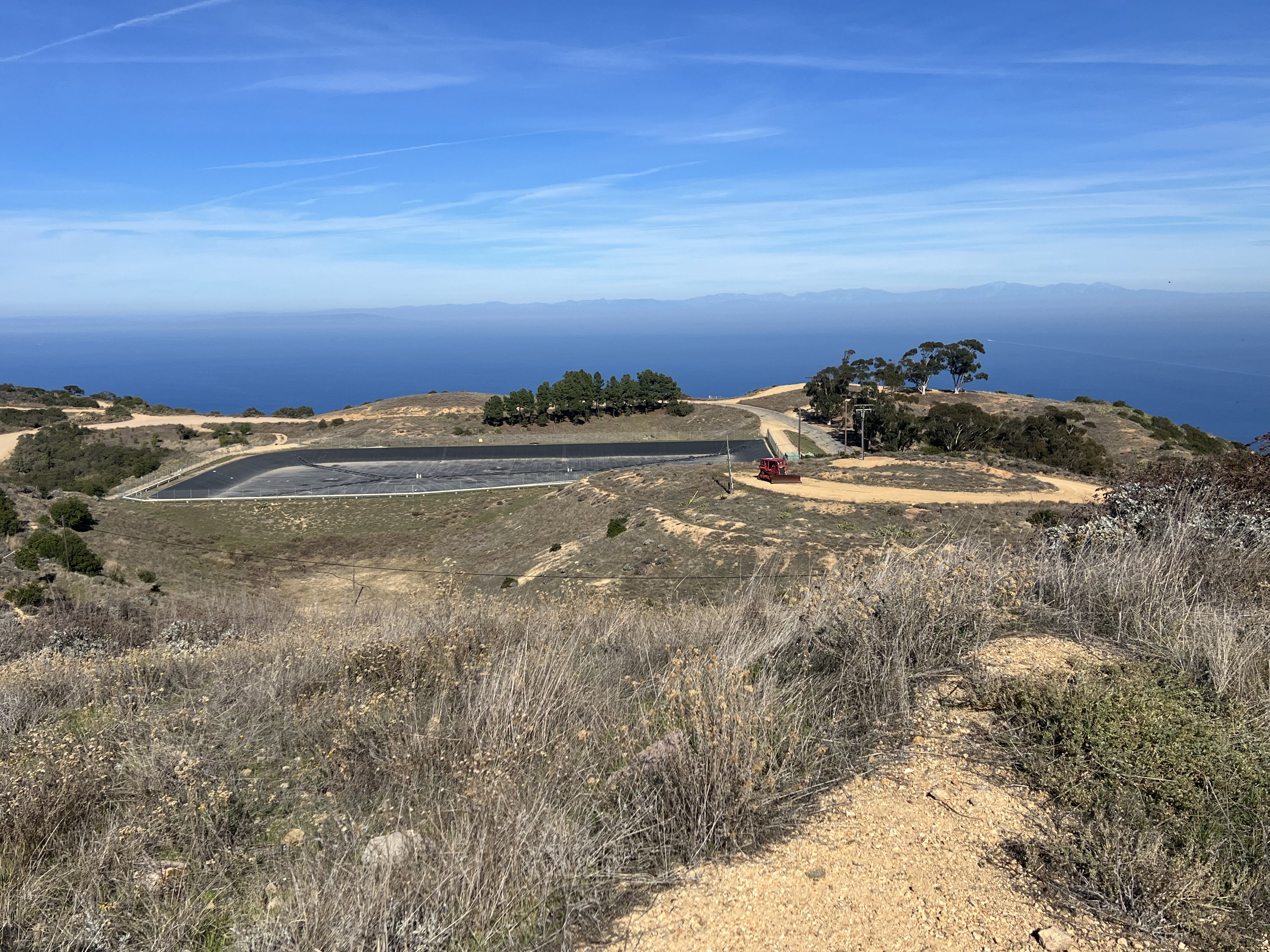
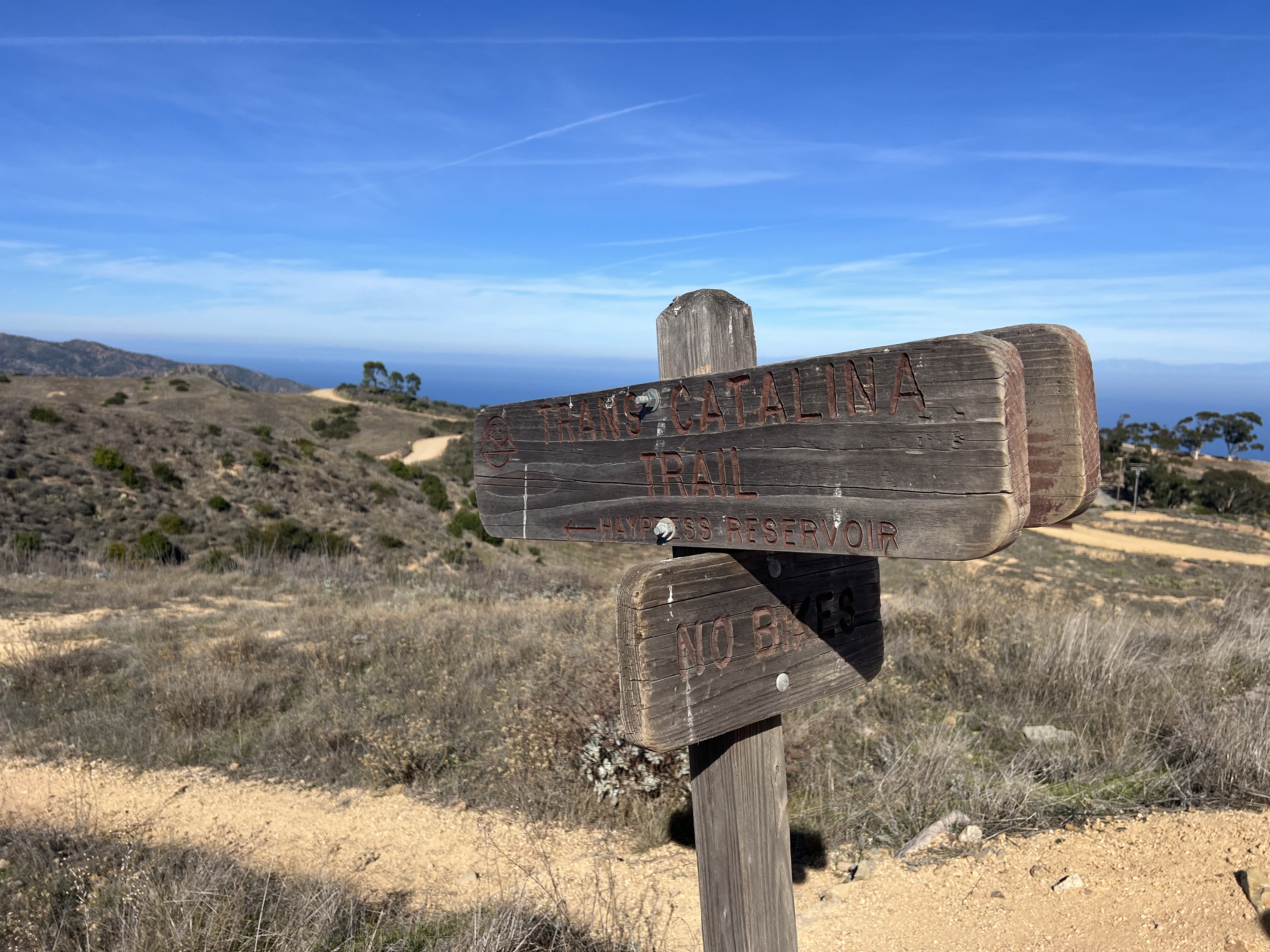
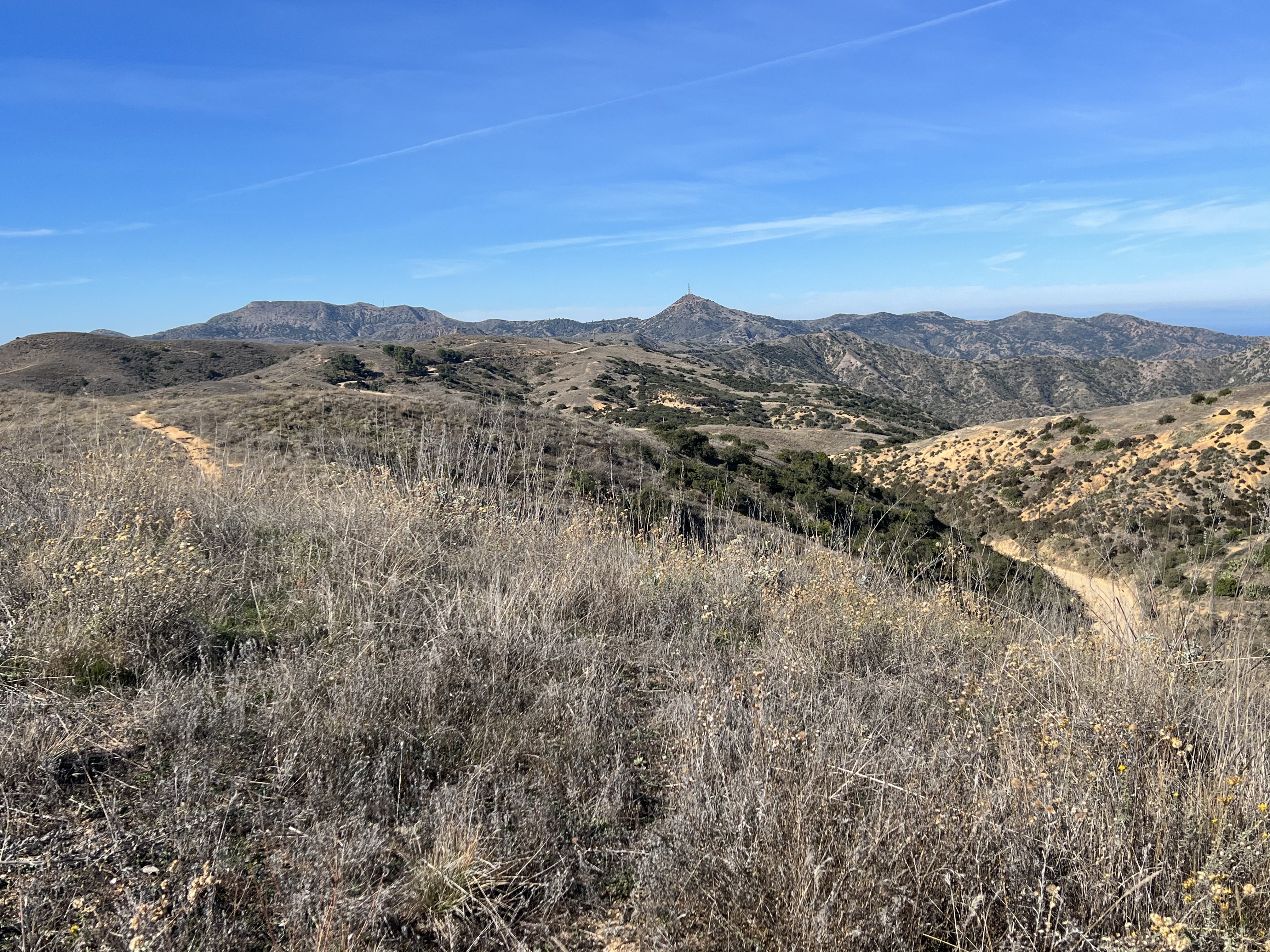
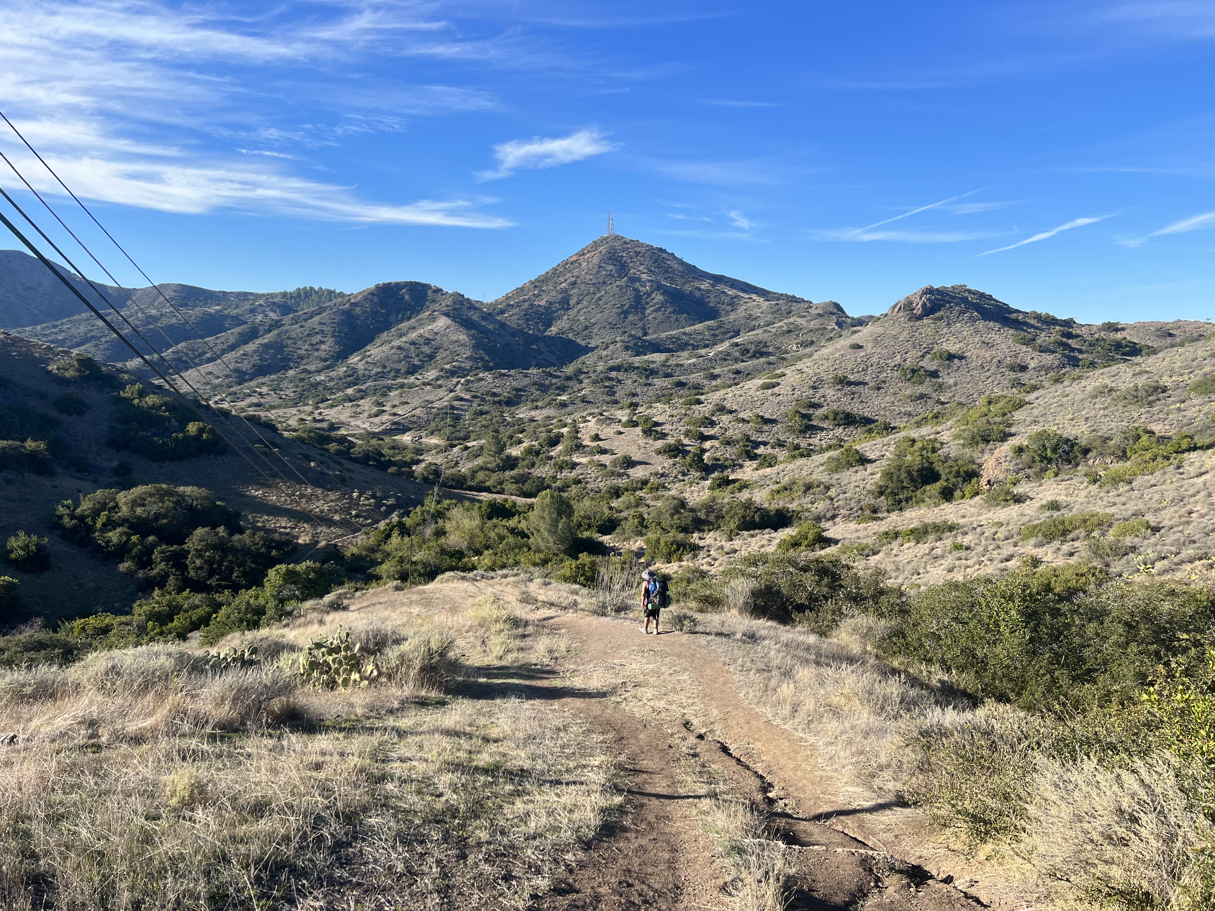
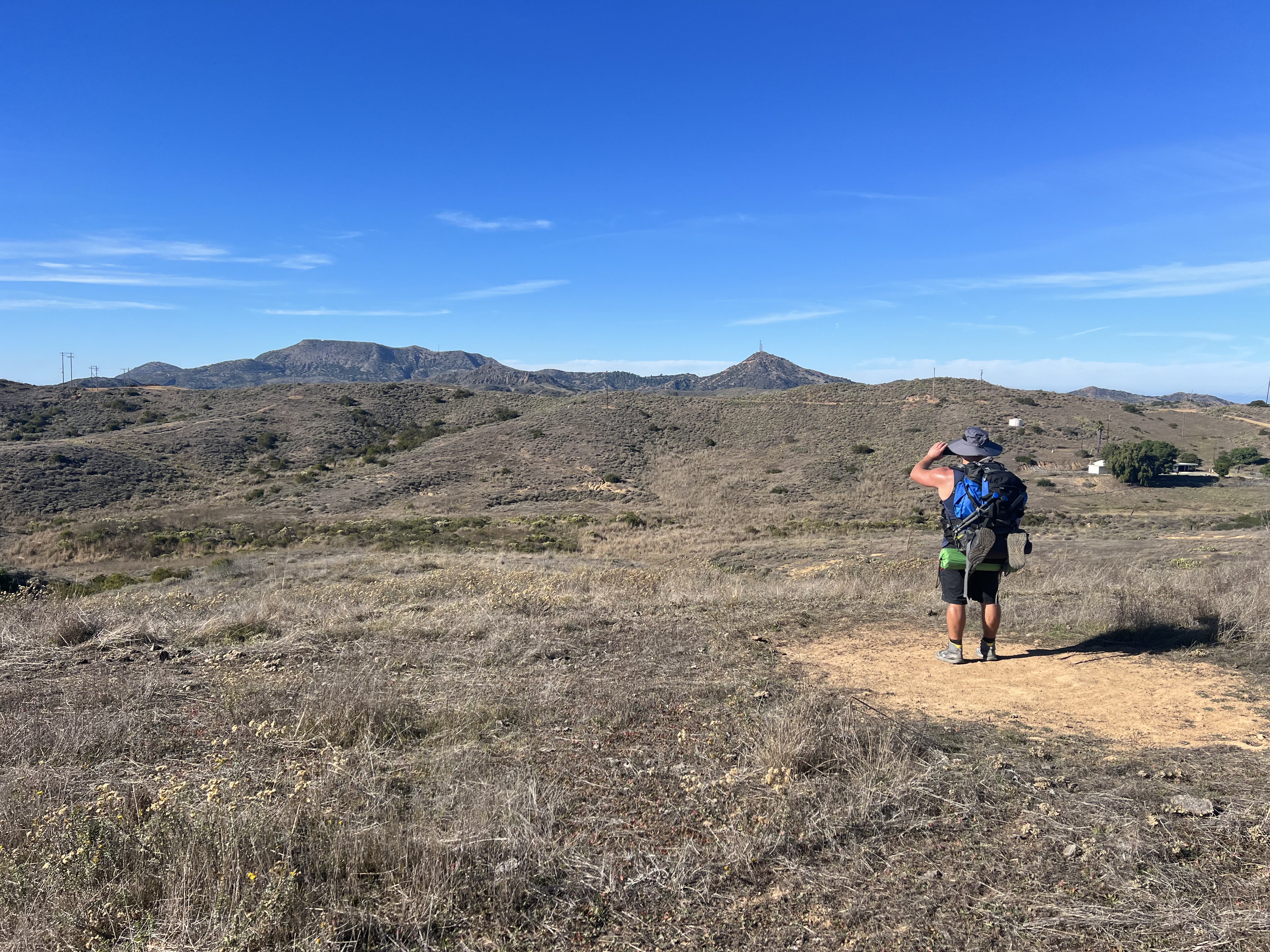
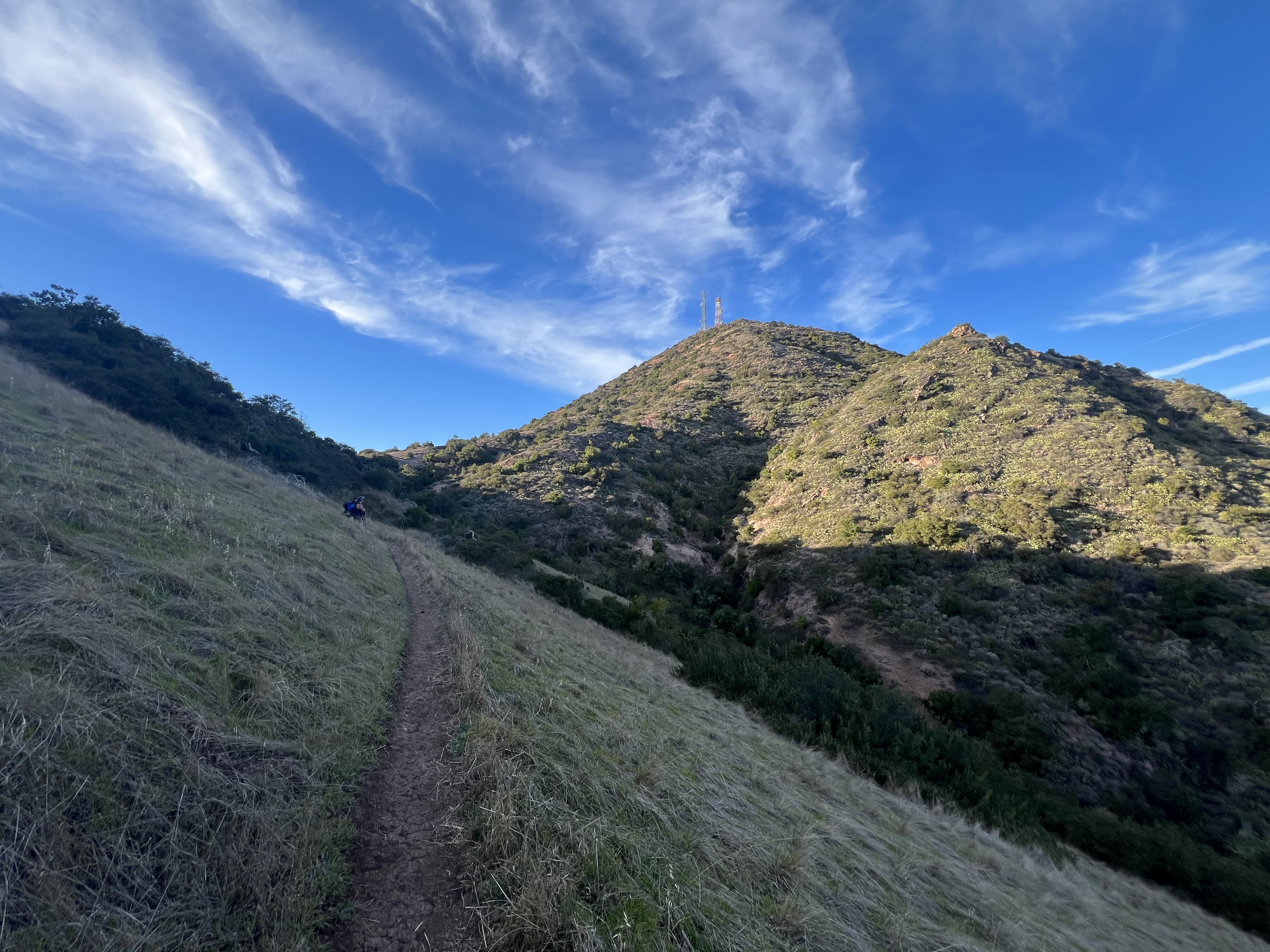
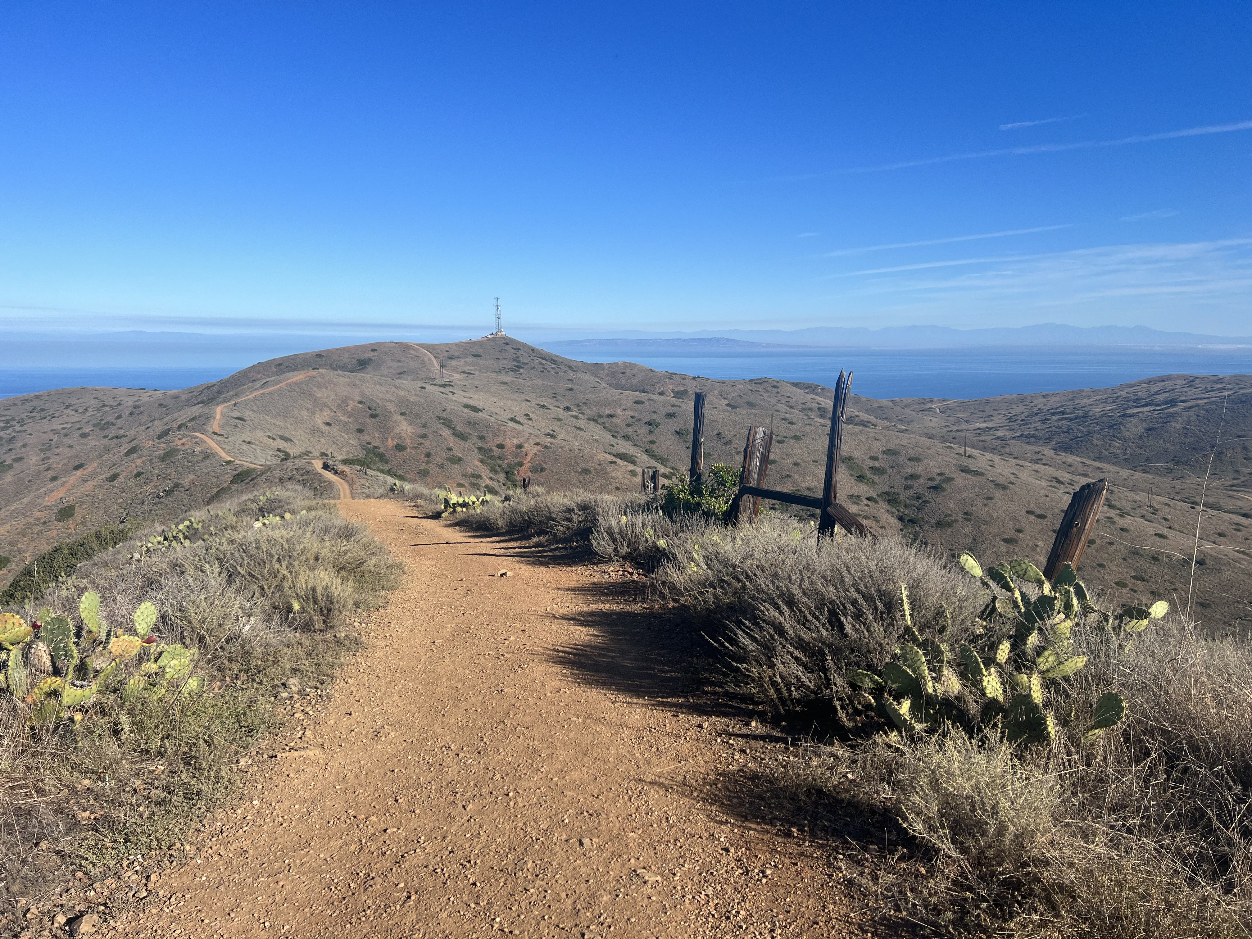
At the Wrigley Reservoir, we dropped off the ridge and soon passed the Haypress Reservoir. Transitioning back and forth from dirt road to footpath, we ascended and descended small hills for the next 4 miles, Black Jack Mountain and its radio towers coming into view. One last 500′ climb in 8/10 of a mile and we would be at our campsite for our second night on the Trans-Catalina Trail, at Black Jack Campground.
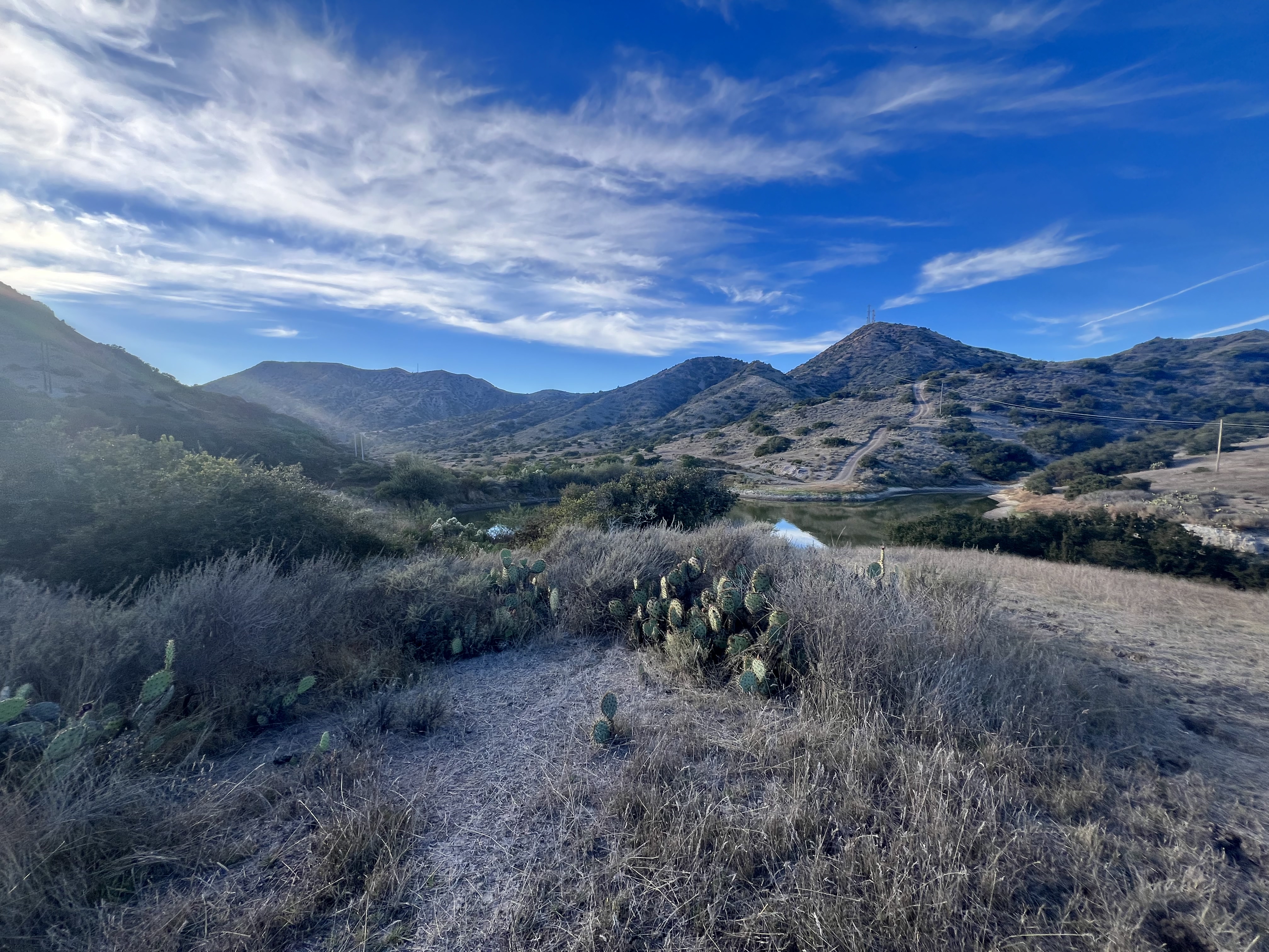
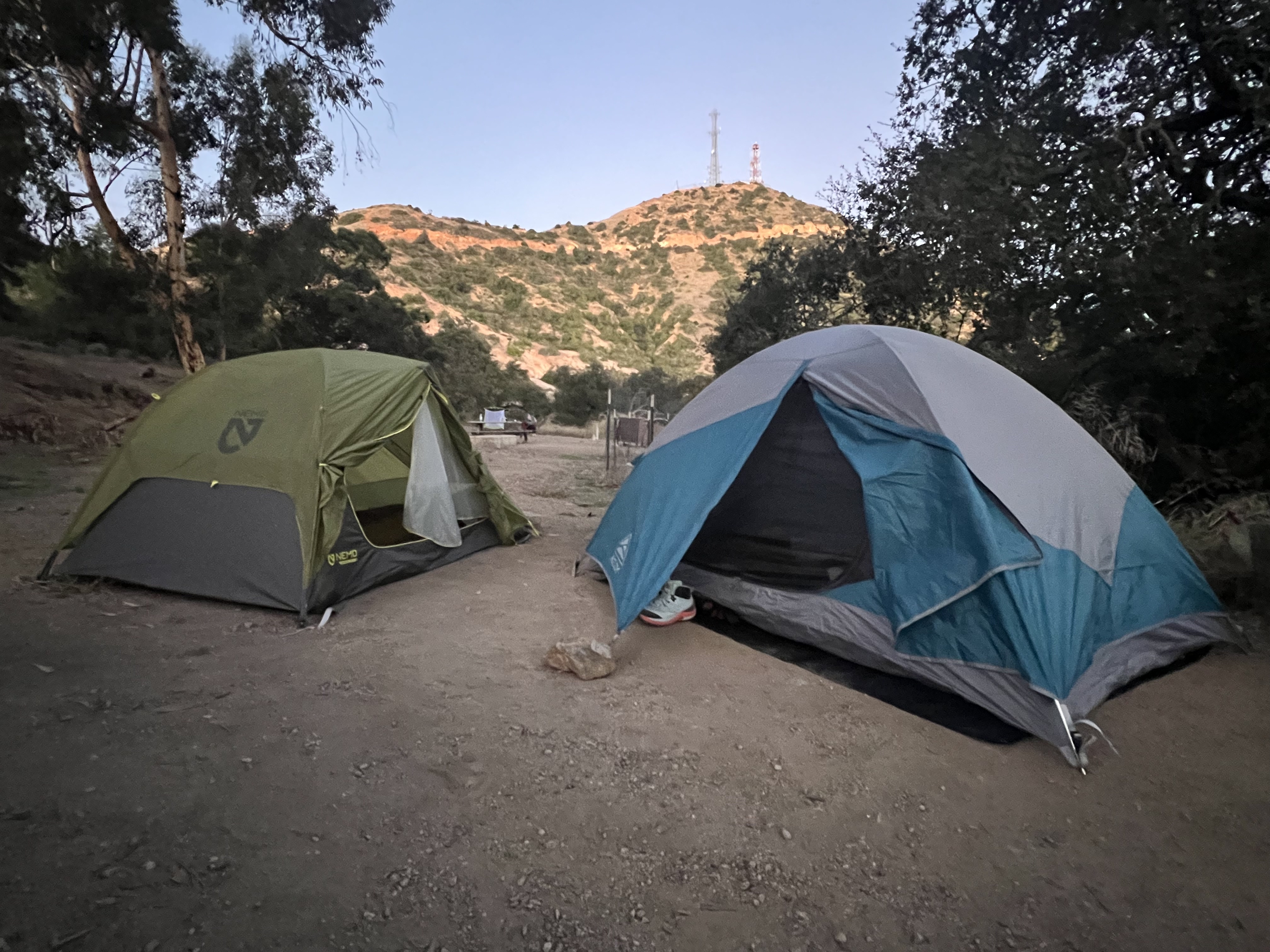
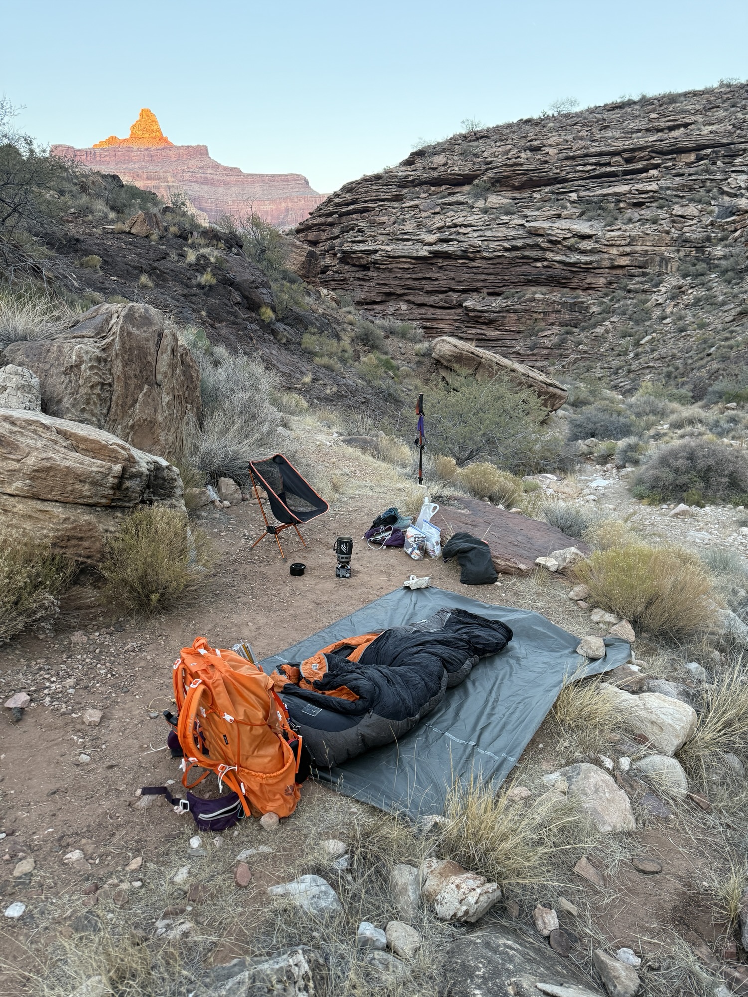
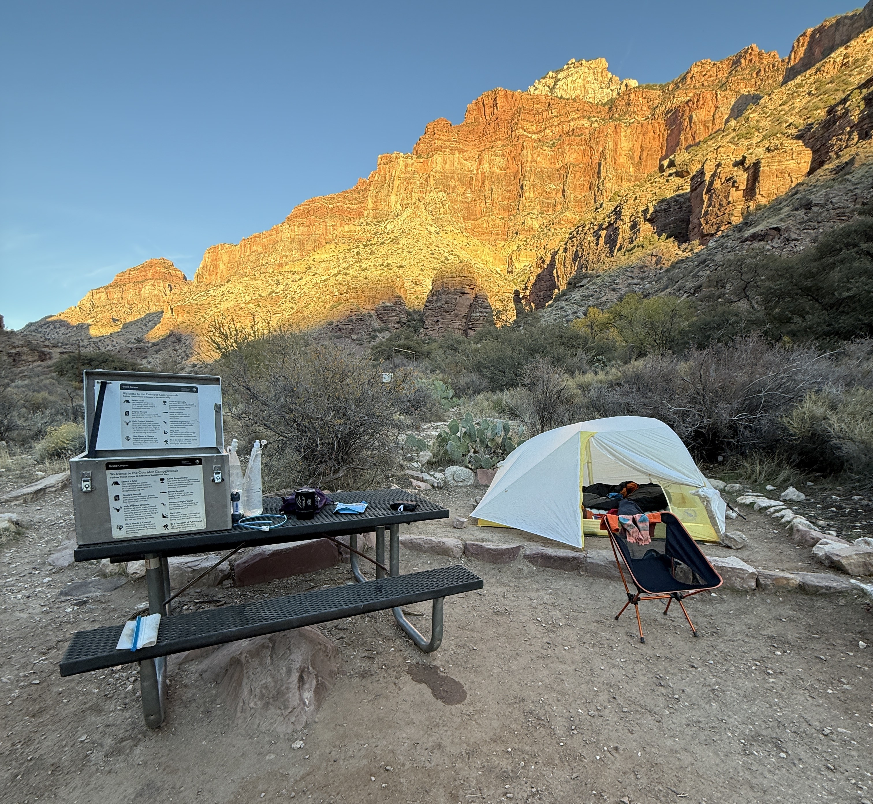
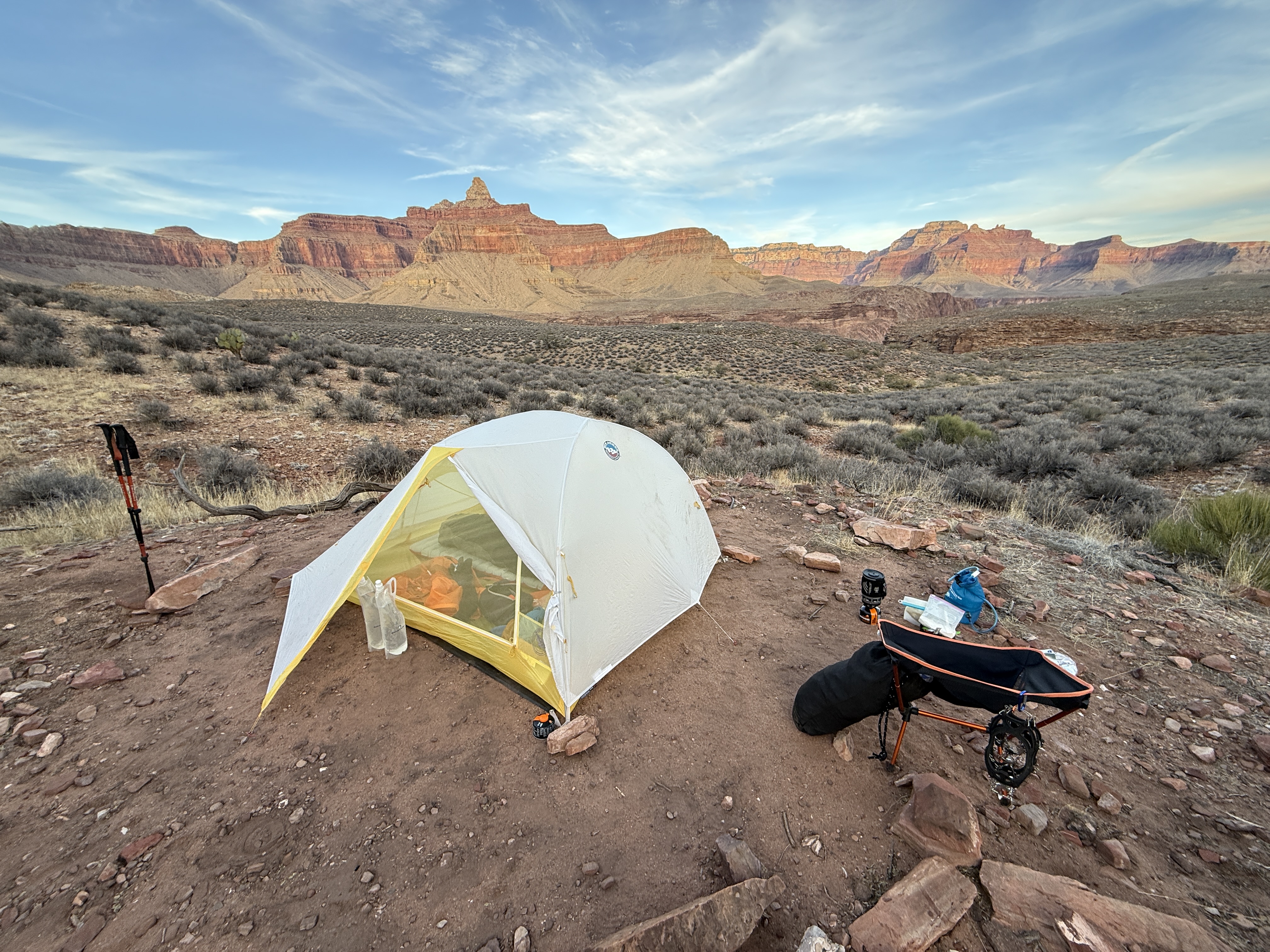
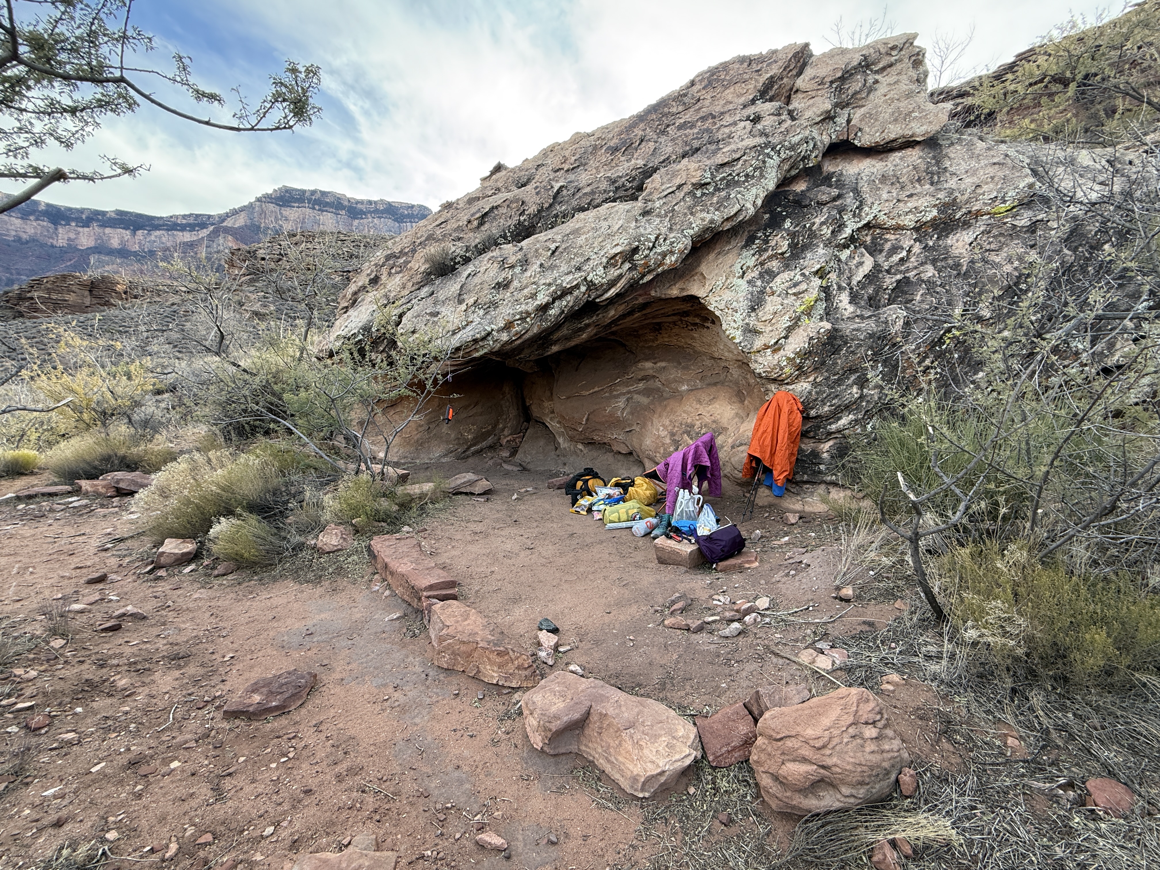
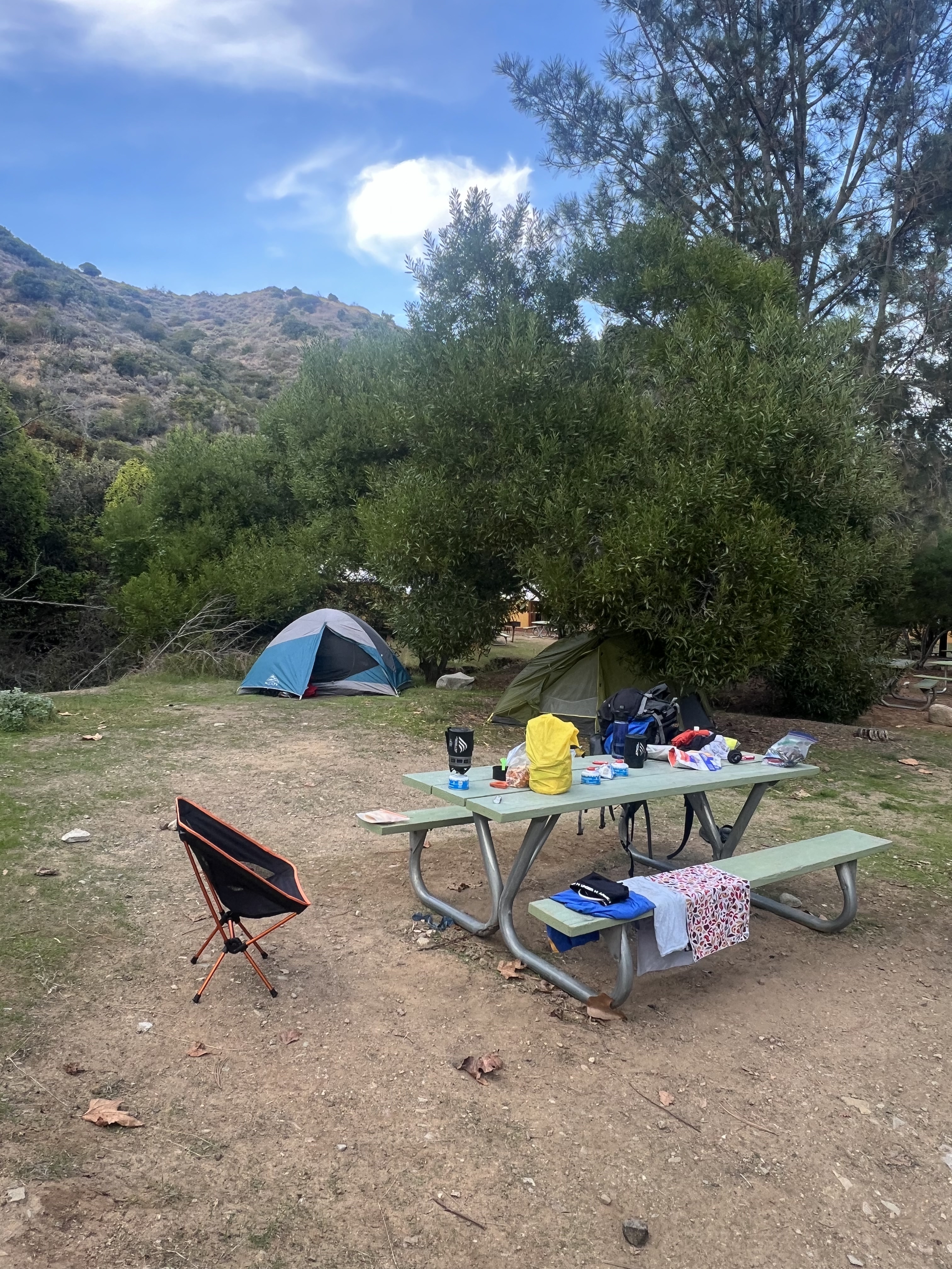
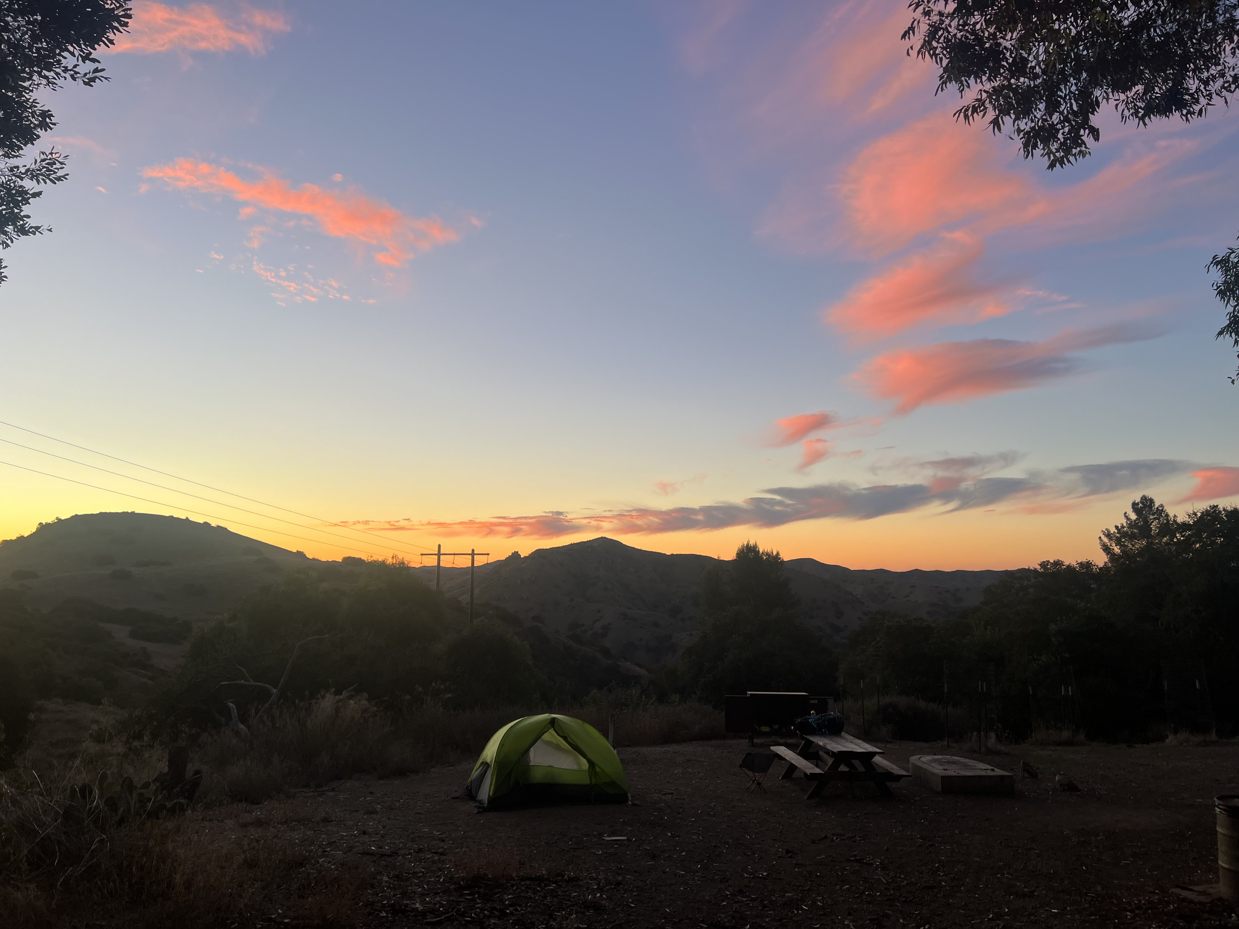
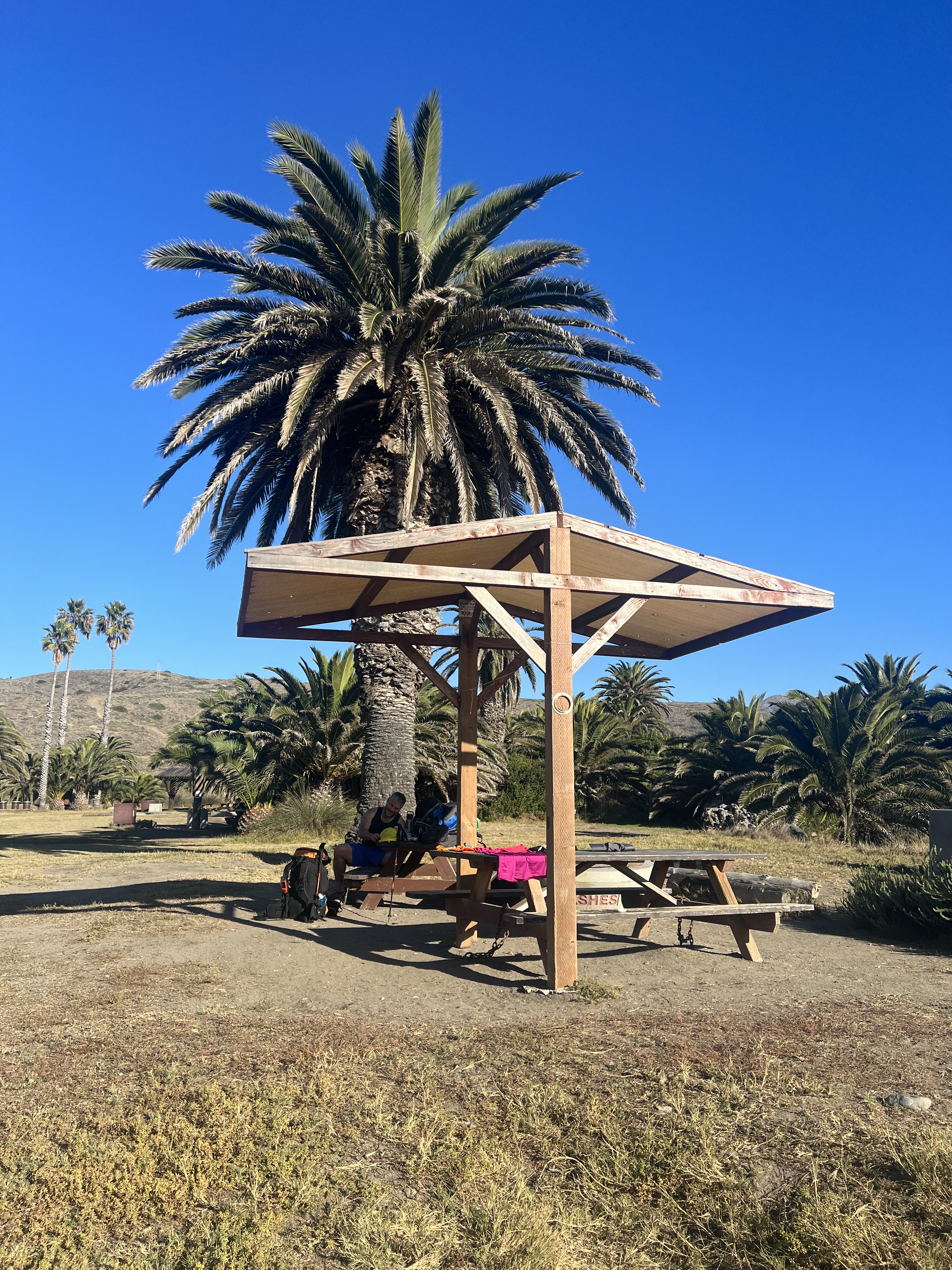
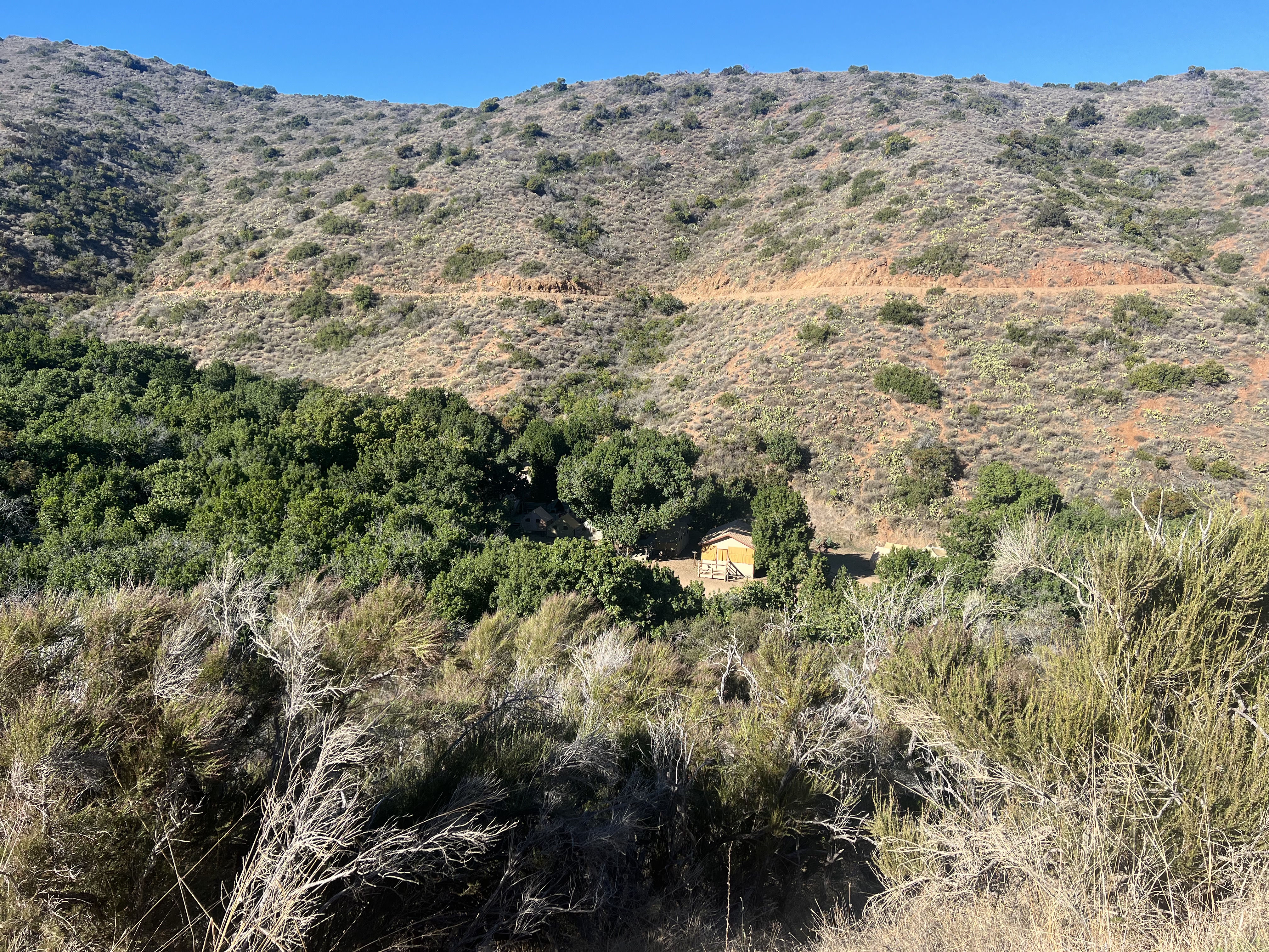
Entering Black Jack just after 4pm, we found our site and dropped our gear. We immediately noticed that the views weren’t very impressive, as it sits in a protected nook between Black Jack Mountain and Mt Orizaba, the tallest peak on the Island at 2,096.’ The amenities of the campground are excellent, with pit toilets and running water. I had chosen a site on a lower plateau, to the south of the main portion of campground, and I would not do so again. Walking up and down the hill to get to the bathroom and water was a longer walk than necessary, and the location didn’t offer the views that I had hoped. The main campground is also lusher and more welcoming.
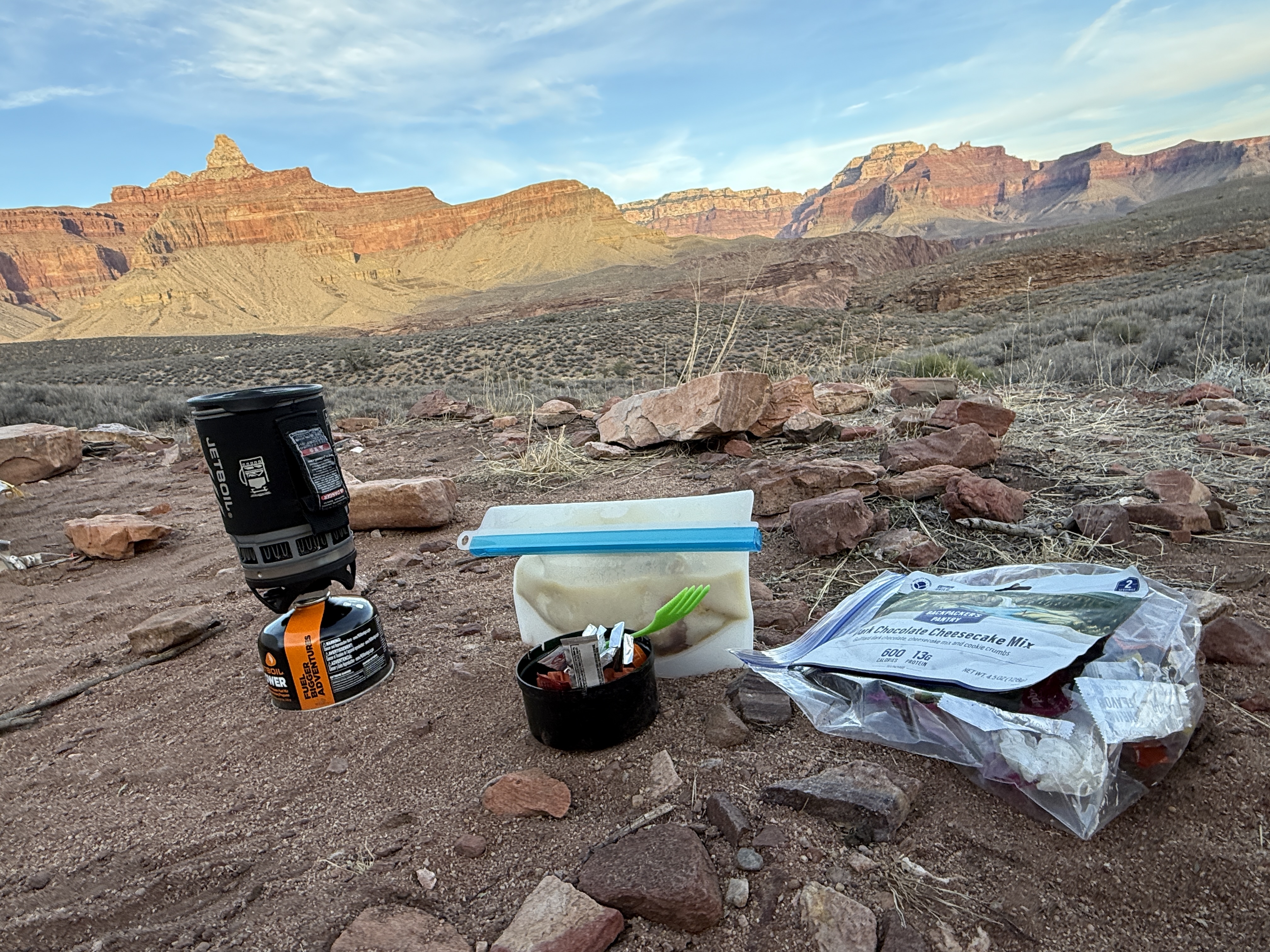
Another night, another Ramen Bomb, and I was ready to get into bed and read. Black Jack also doesn’t allow fires, but the next night in Little Harbor we would have firewood waiting for us. I didn’t make it far in my book before I fell into a deep sleep, not needing the trash bag to stay warm, but still wearing all of my clothes.
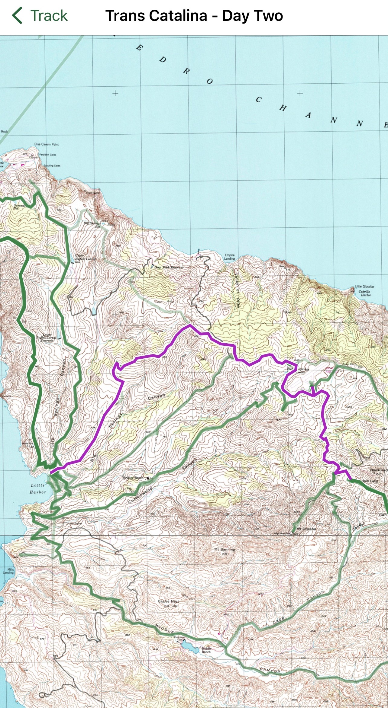
Day 2
Black JAck Campground → Little Harbor
9.1 Miles, +1,290′
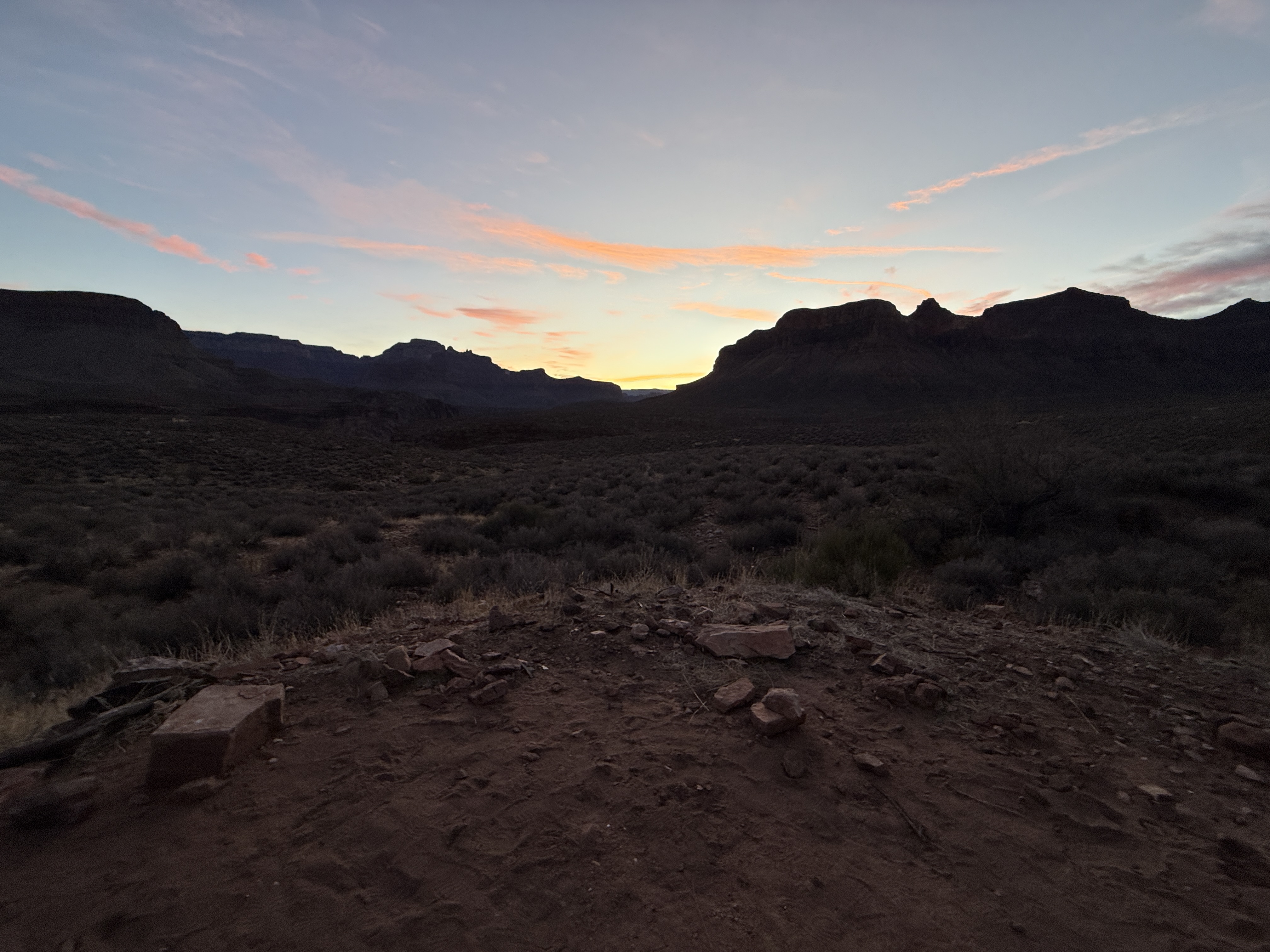
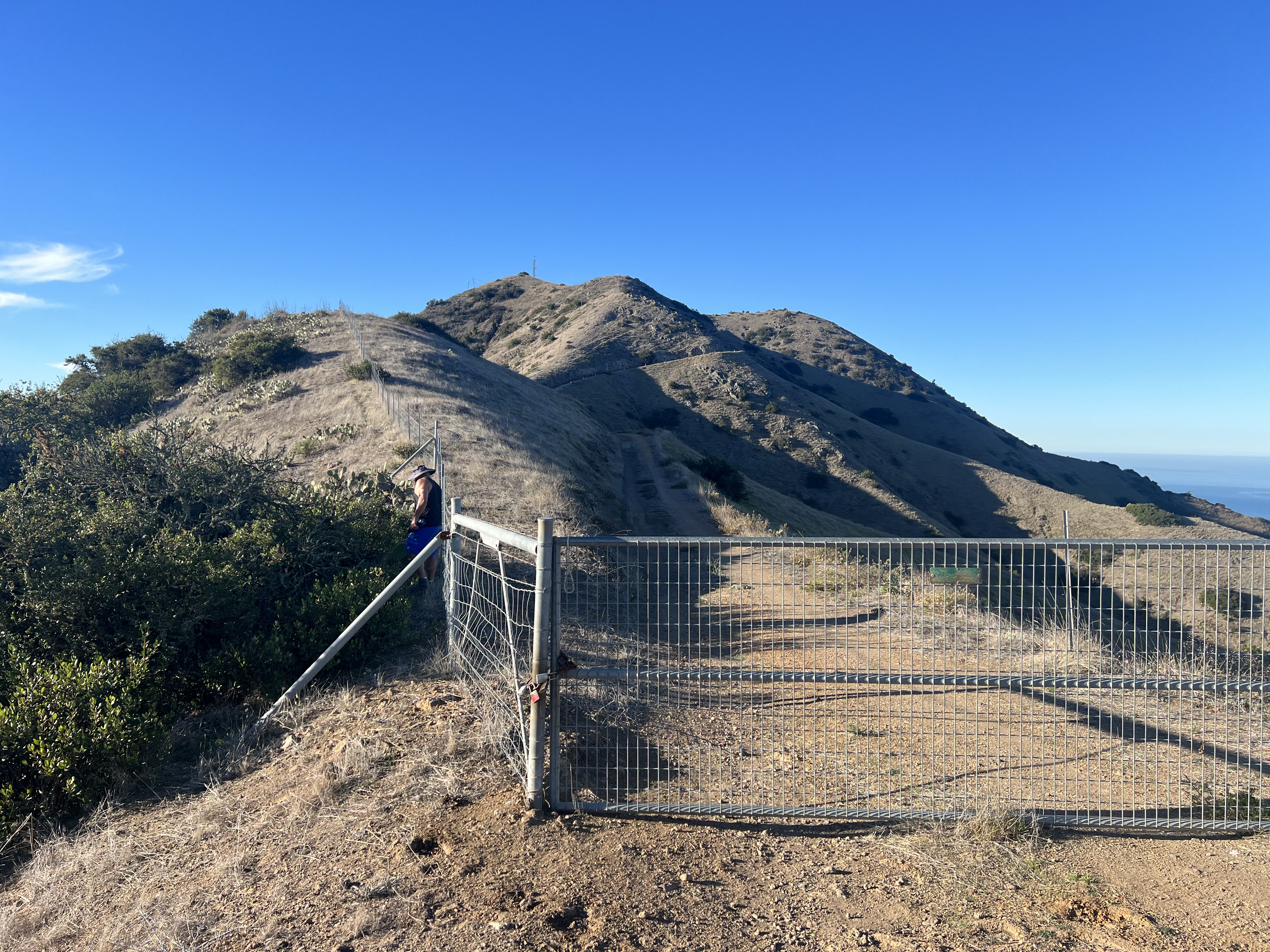
The next morning, I woke well rested and not freezing, a beautiful pink and orange sunrise to welcome the day. Packed up and fed by 745am, we headed out with the intention of climbing Mt Orizabo, the tallest peak on the island. After only a quarter mile, we dropped our packs and turned west, away from the Trans-Catalina Trail and towards the small bump of a summit.
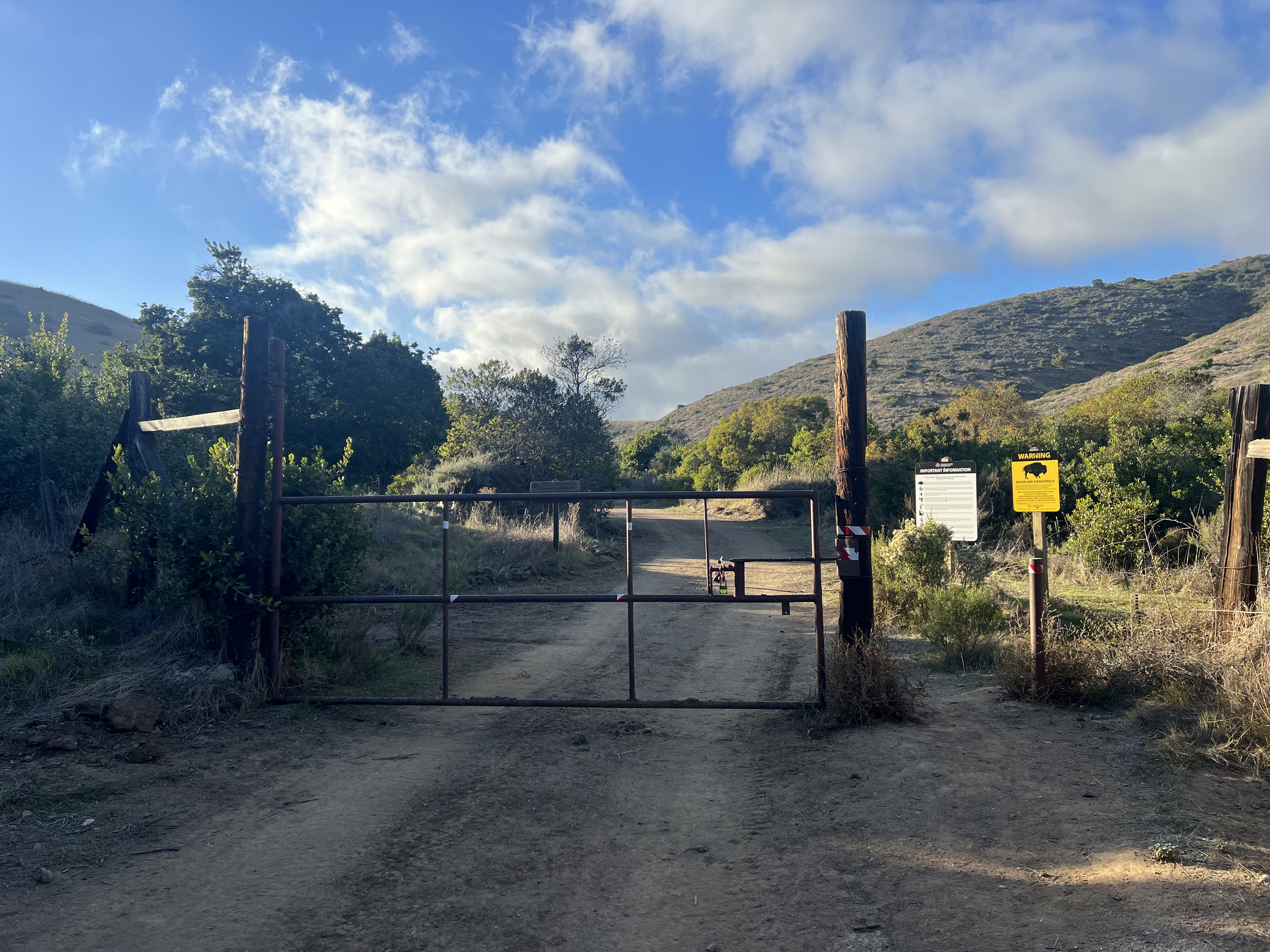
We assumed it would take us no longer than an hour to go up and down the couple miles and 700.’ We didn’t make it far before a gate and a fence blocked our path. Unsure of the legality of hopping or skirting the fence, and with the driver of the one jeep heading up treating us like crazy people for trying to summit this unimpressive knob of a hill, we decided it wasn’t worth it and returned to our bags and the TCT.
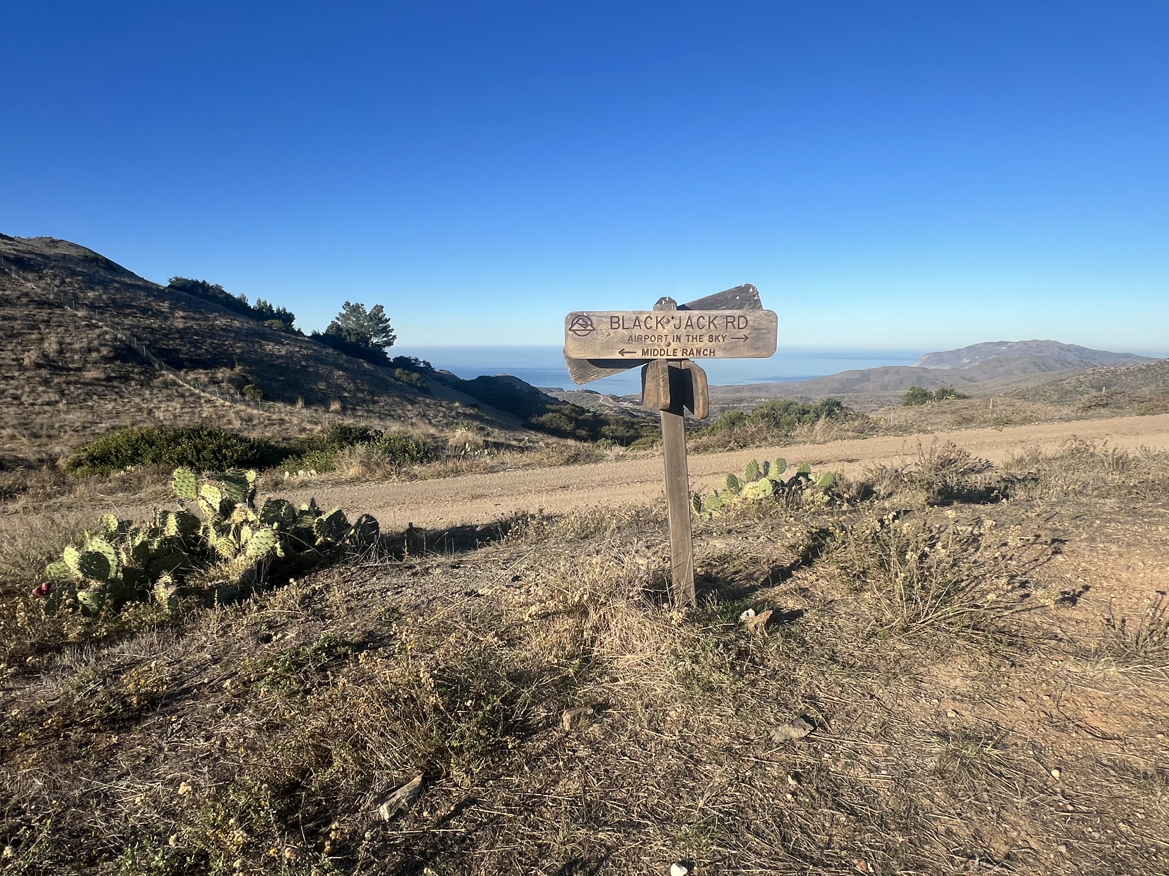
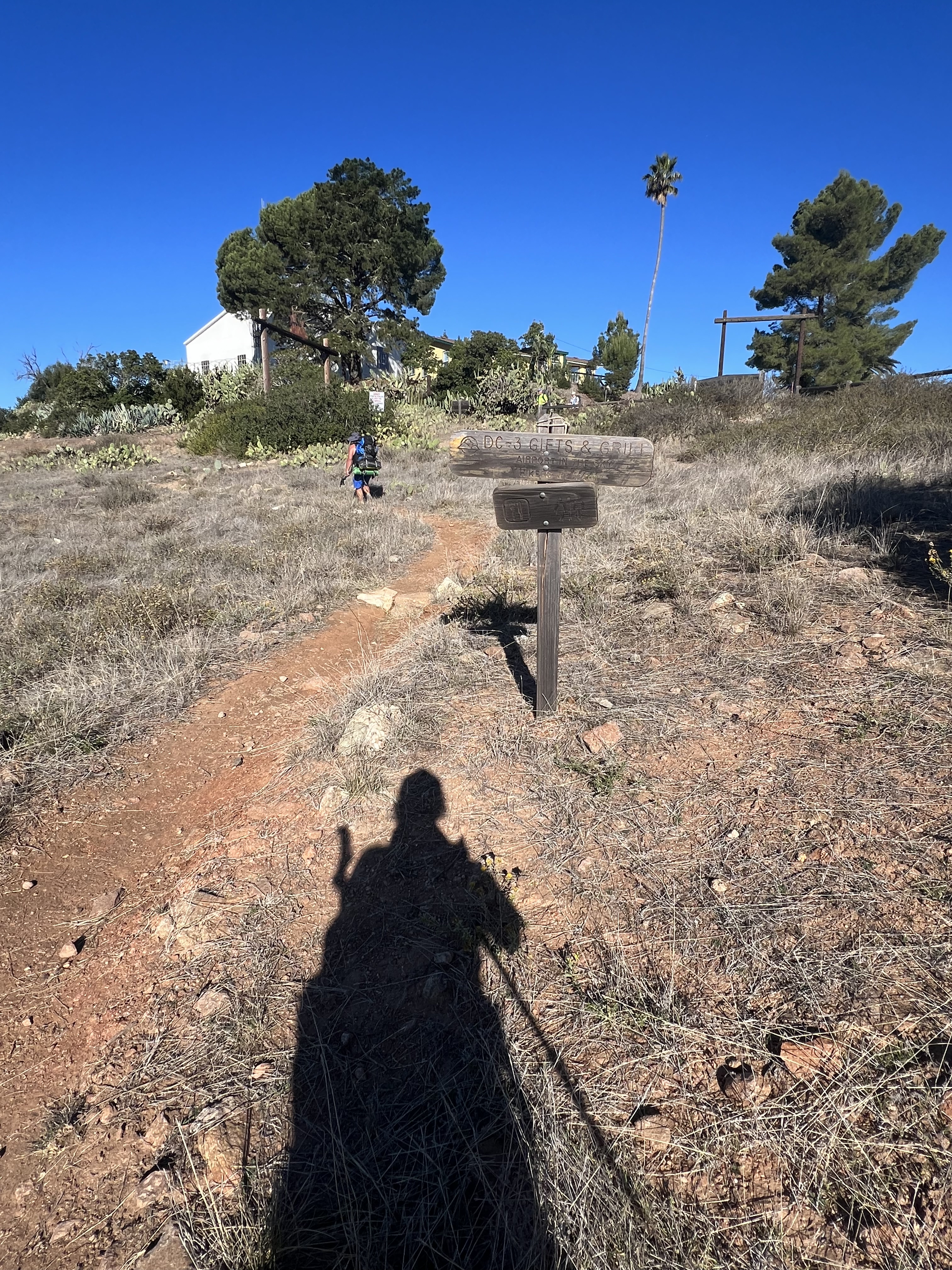
Today would be an exciting day! We were going to stop at Airport In the Sky, a small aircraft runway, with a hangar, cantina and gift shop. Our trail brought us through the familiar sage brush and cactus filled hills we had become accustomed too, so we were surprised when we dropped down into a small, tree shaded area, a nice break from the blazing California sun.
Arriving in AITS, we bought some memorabilia and a hearty lunch, washing it down with ice cold drinks. It was only 930am, but it was already very hot for us Alaskans. After charging up our electronics and walking through the outdoor museum, we hefted our packs onto our backs, now with some extra treats packed in, ready to see what was in store for us for the next 6 and half miles.

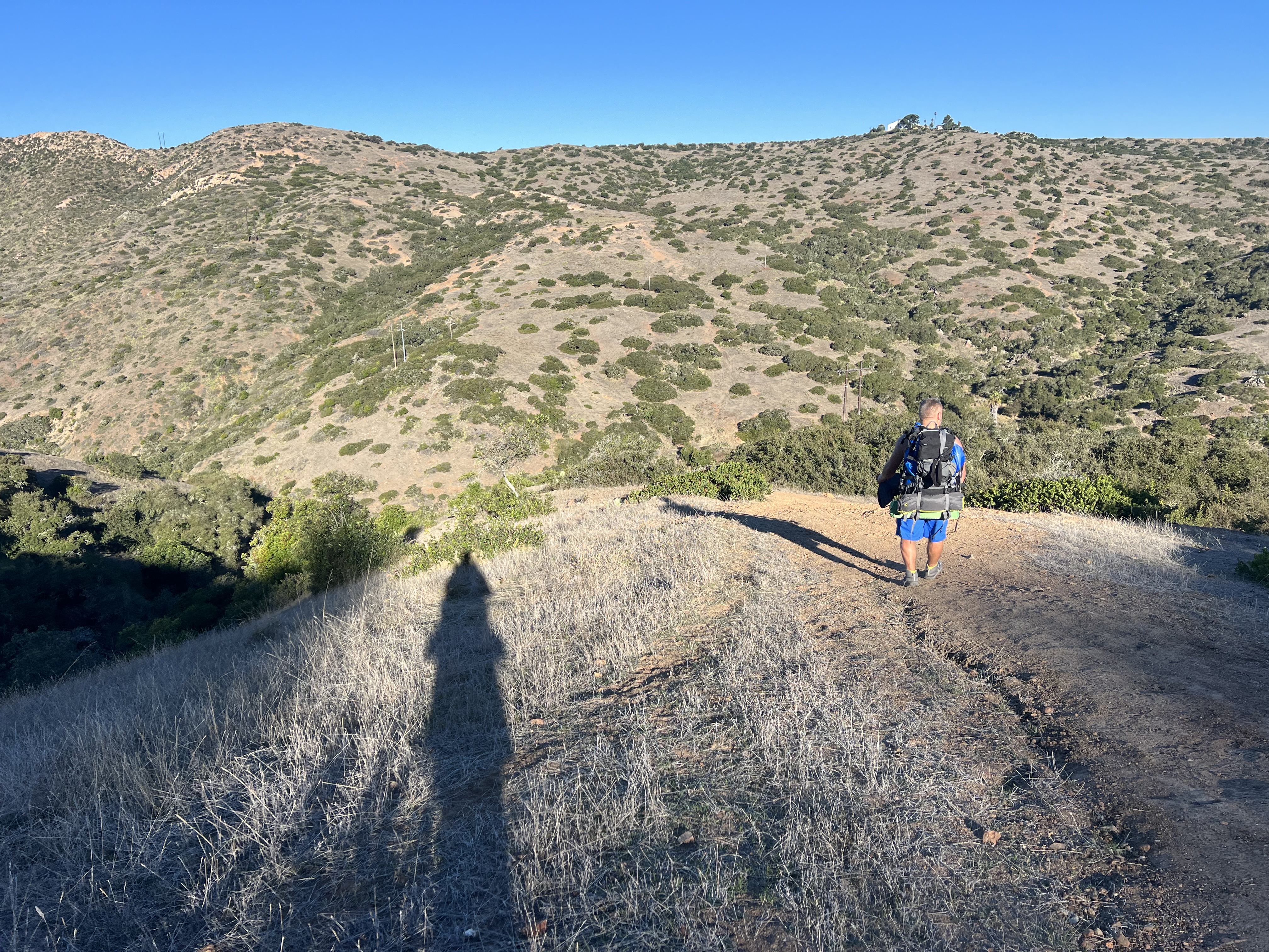
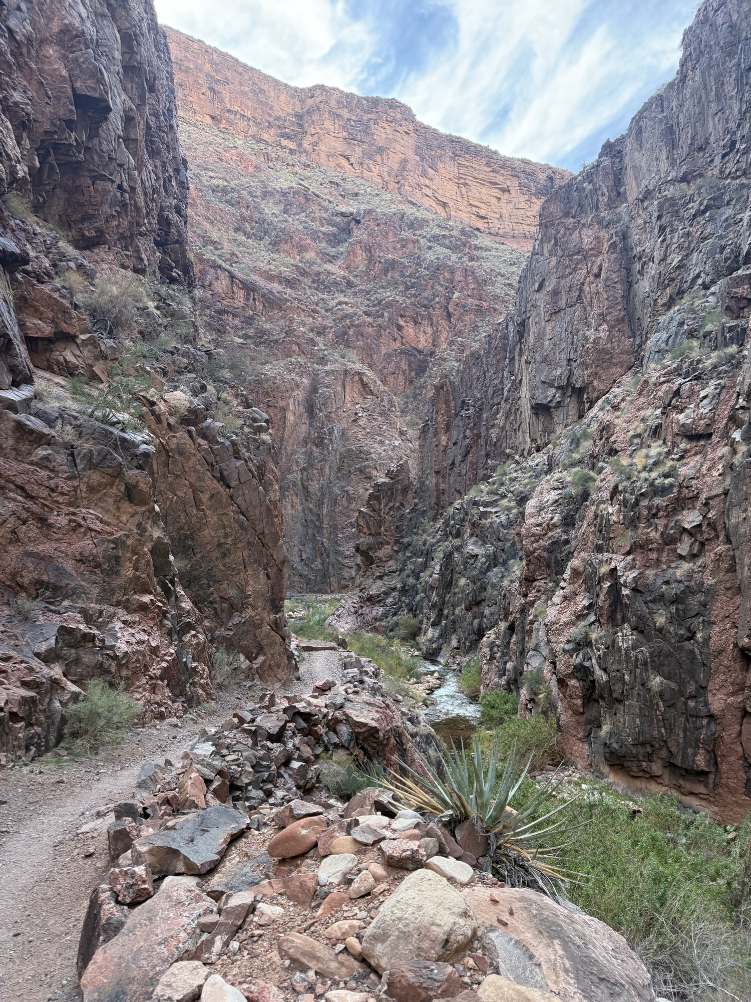
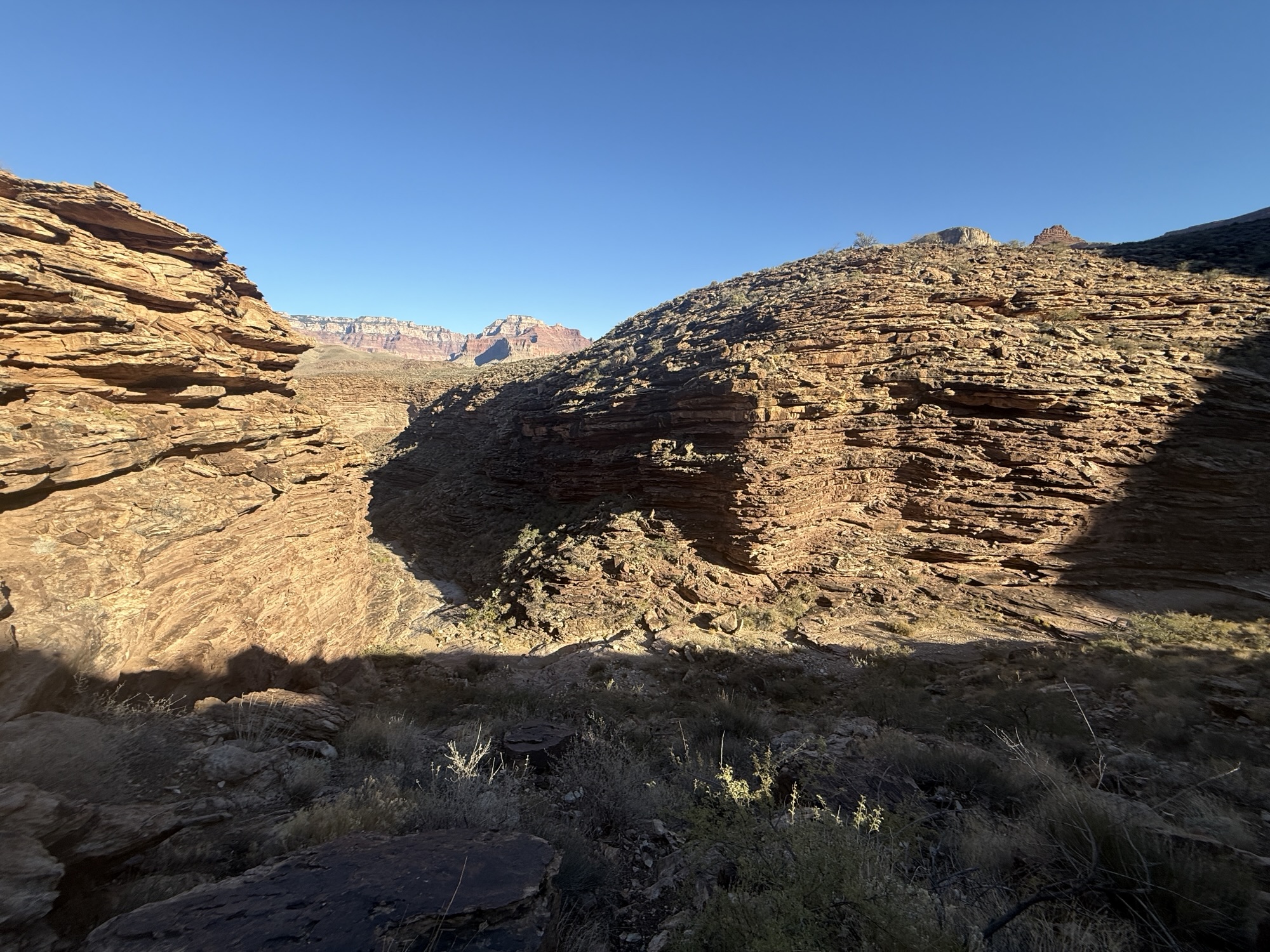
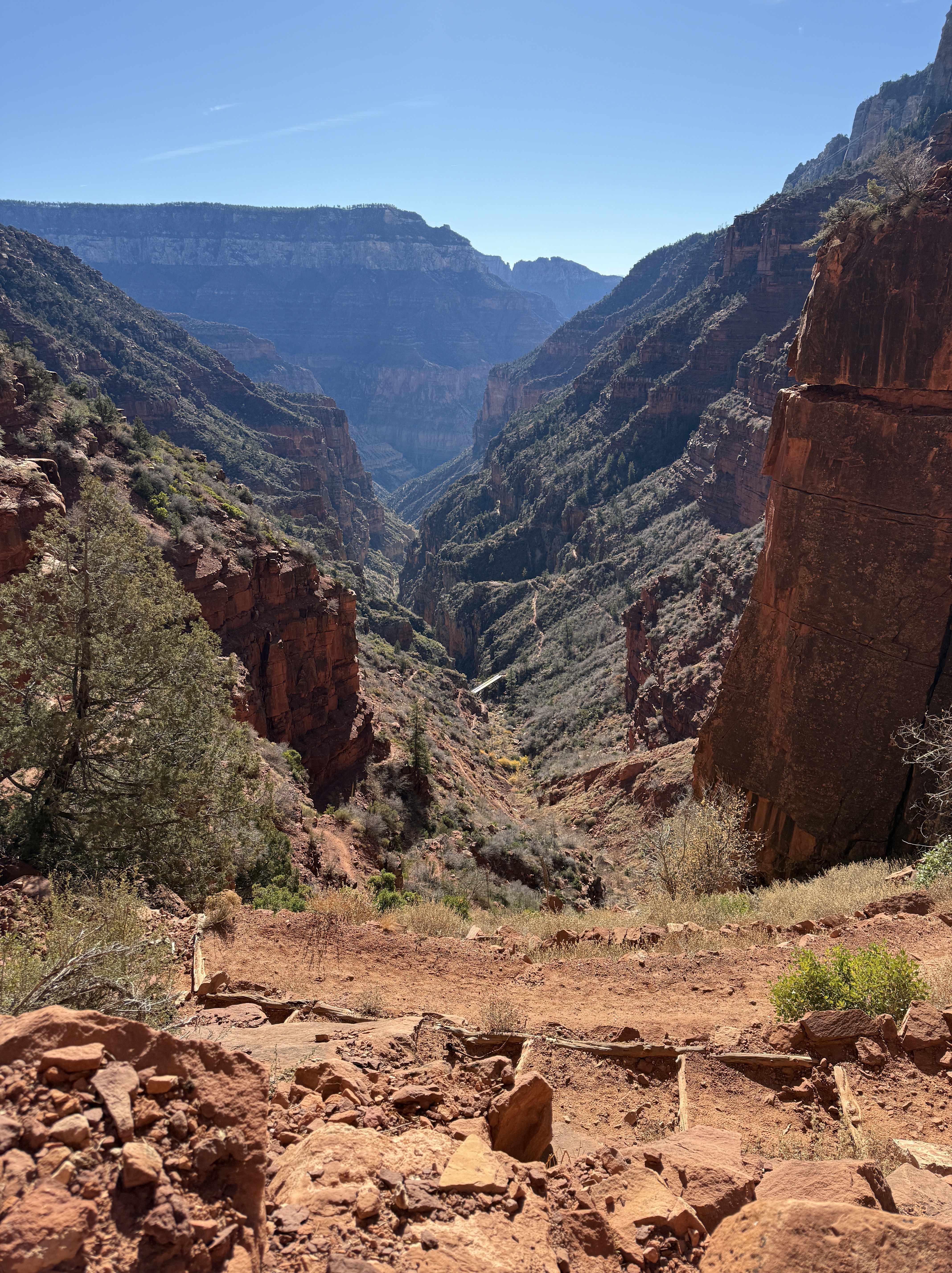
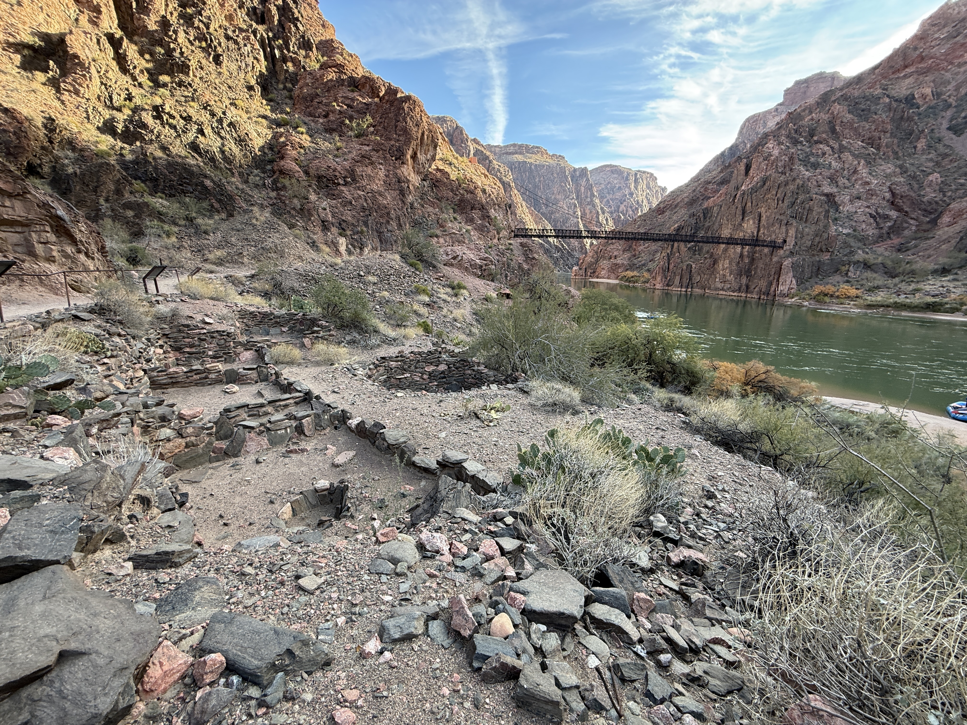
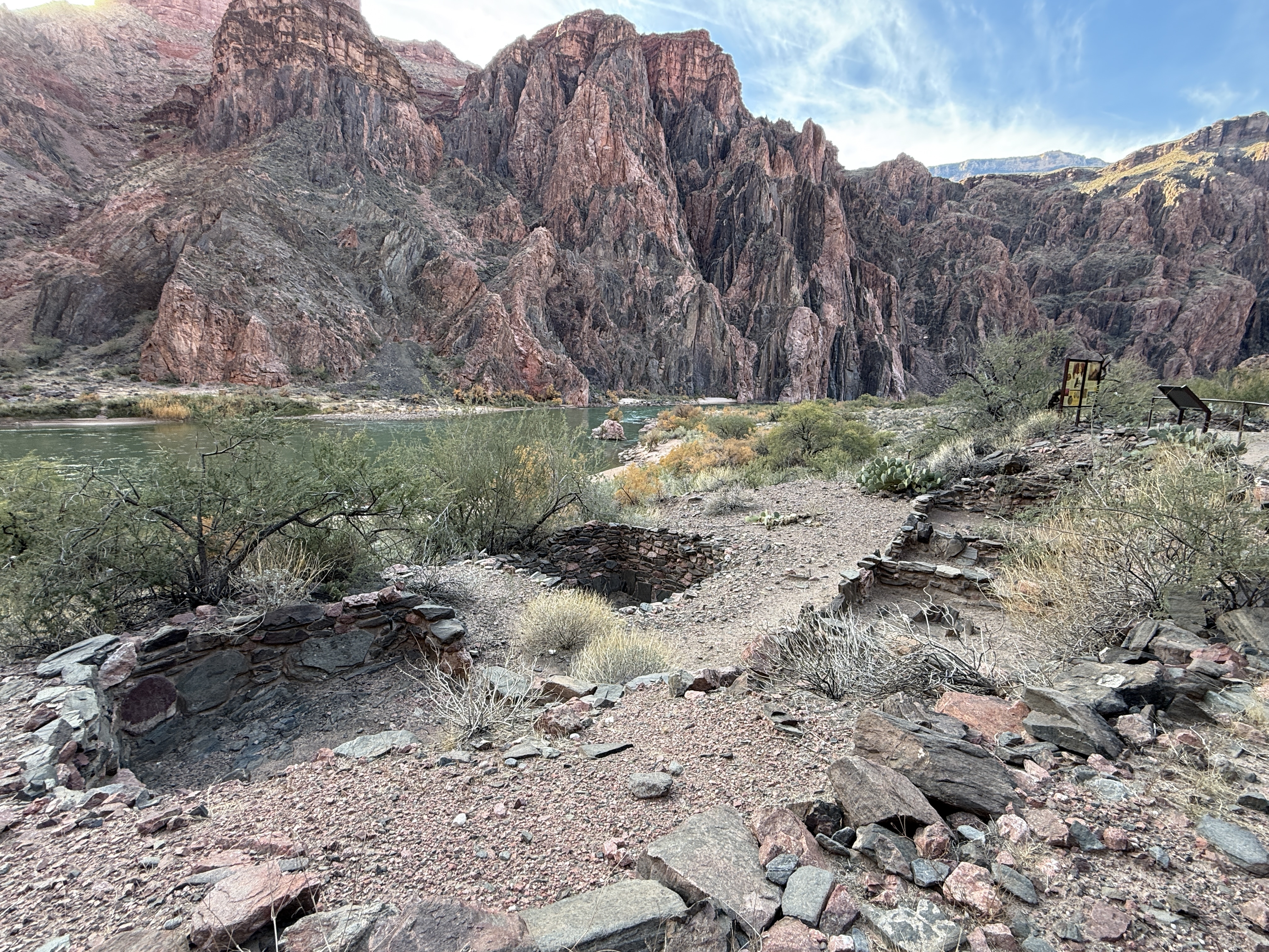
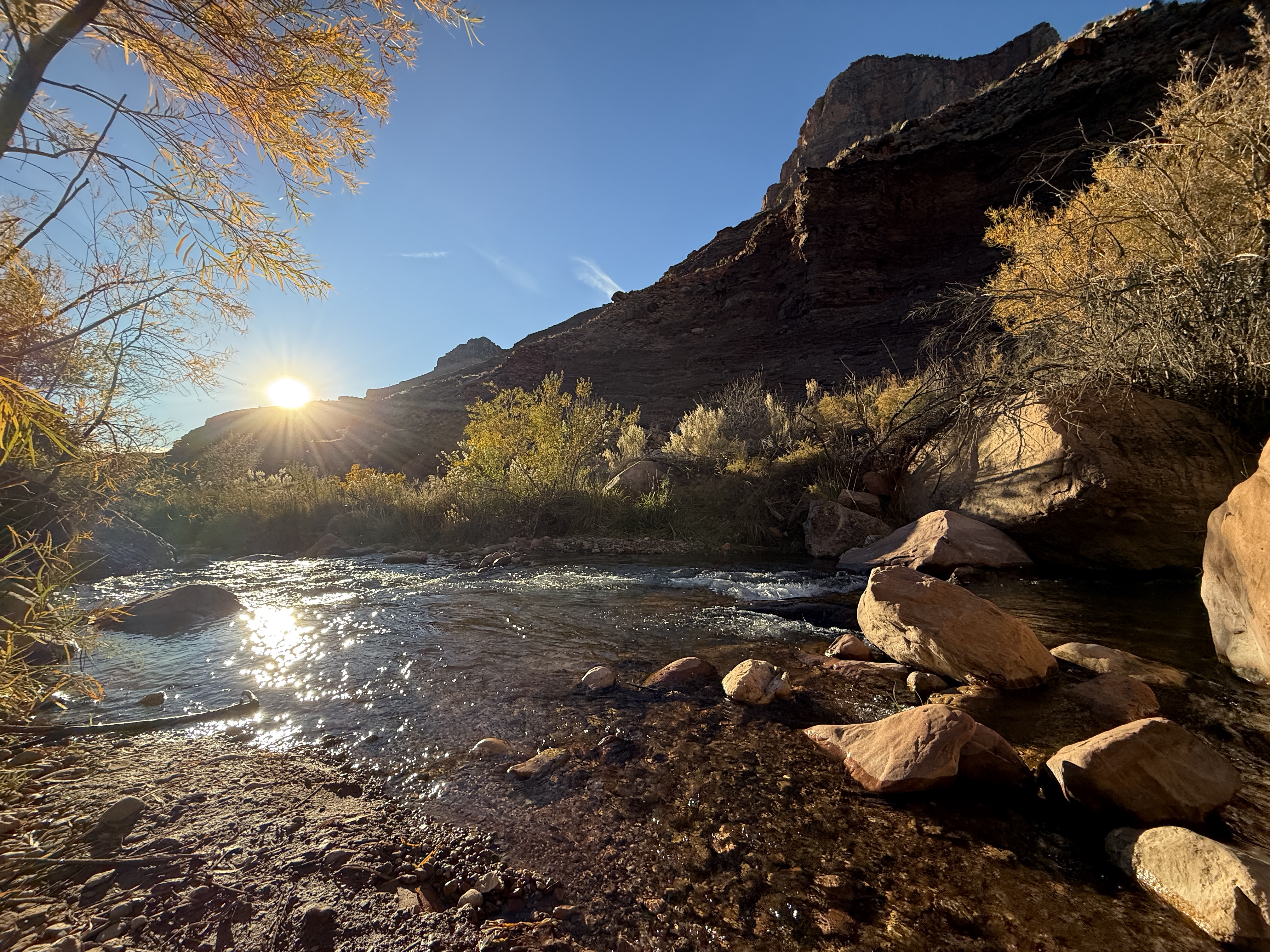
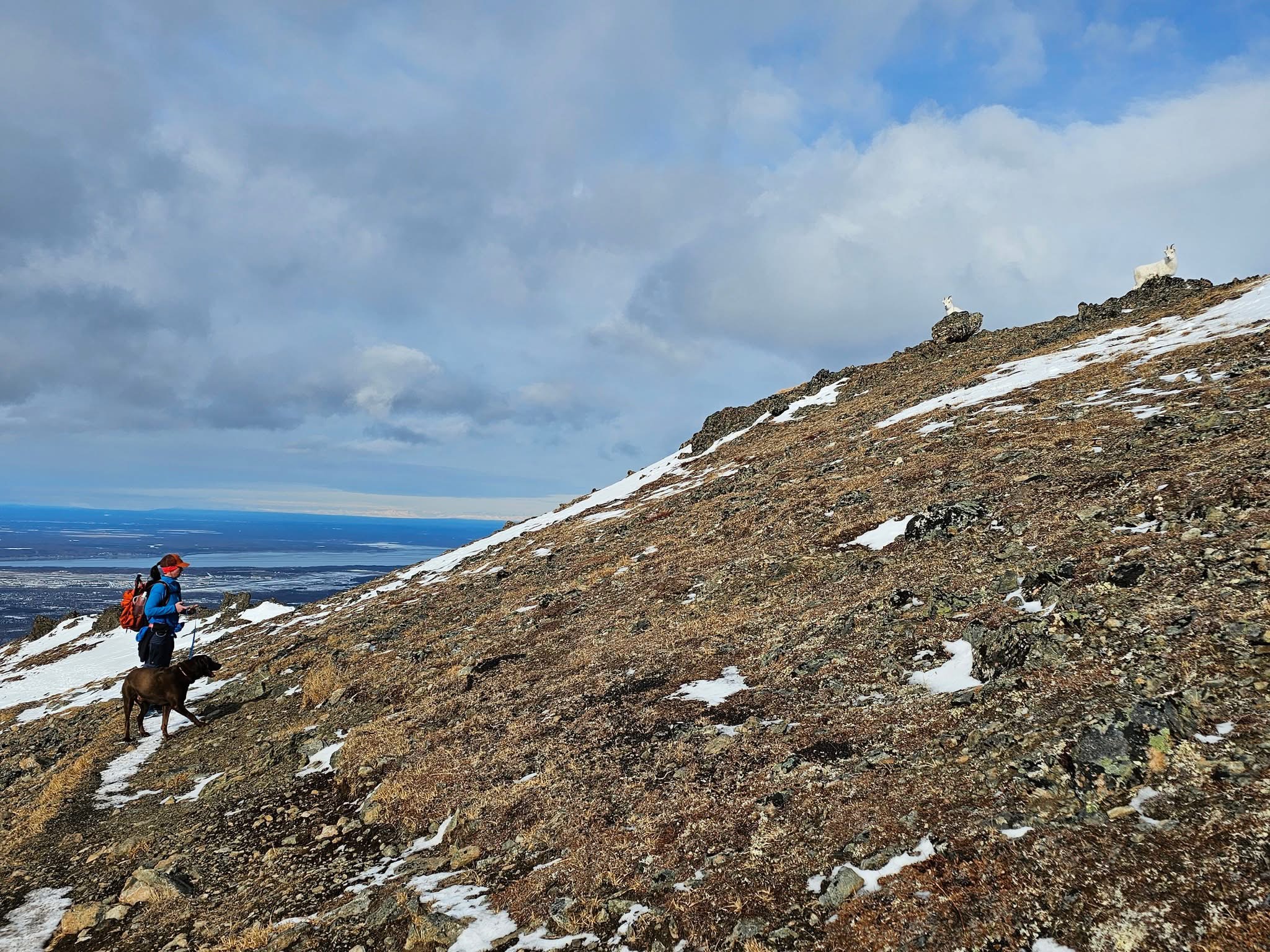
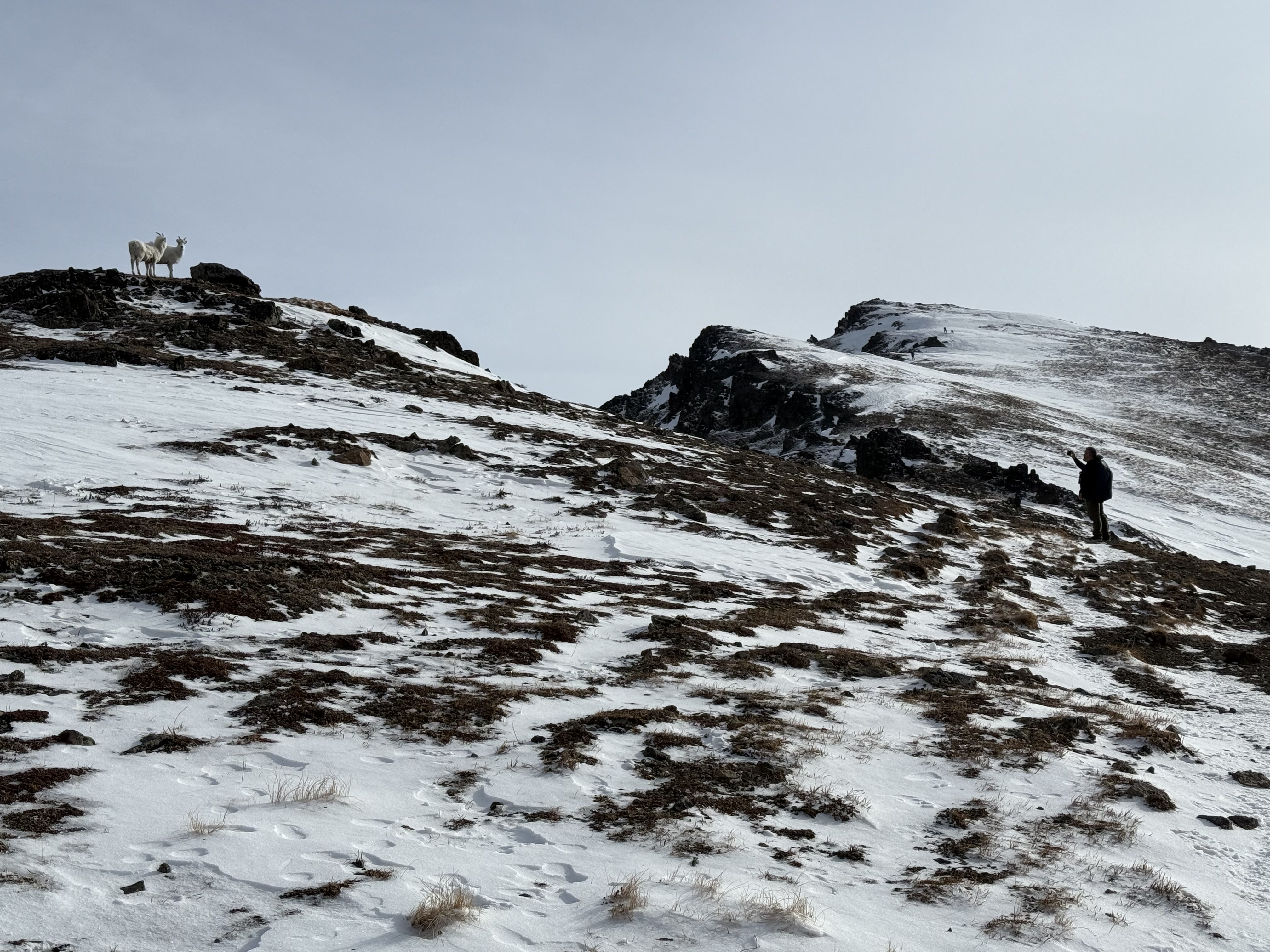
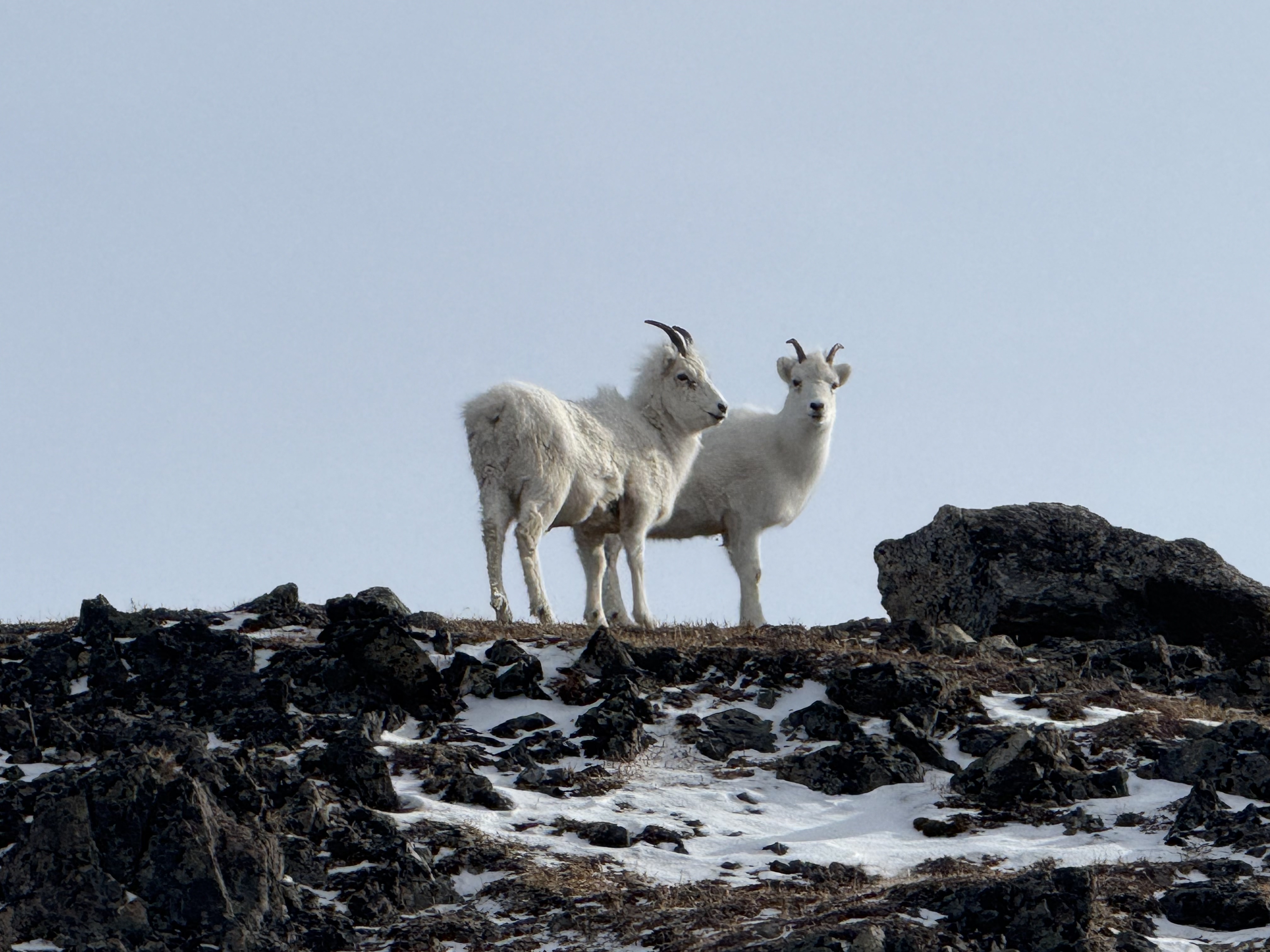
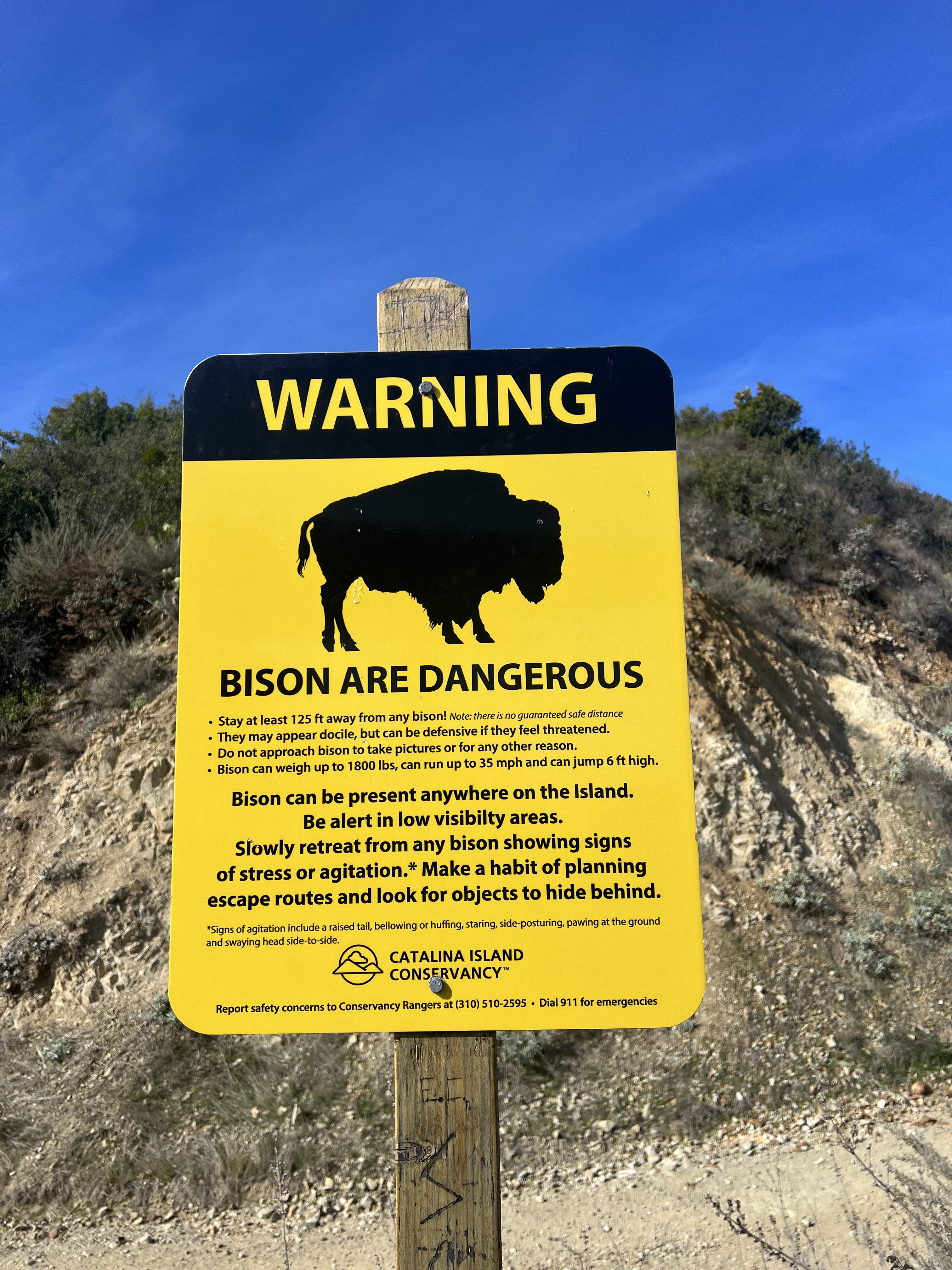
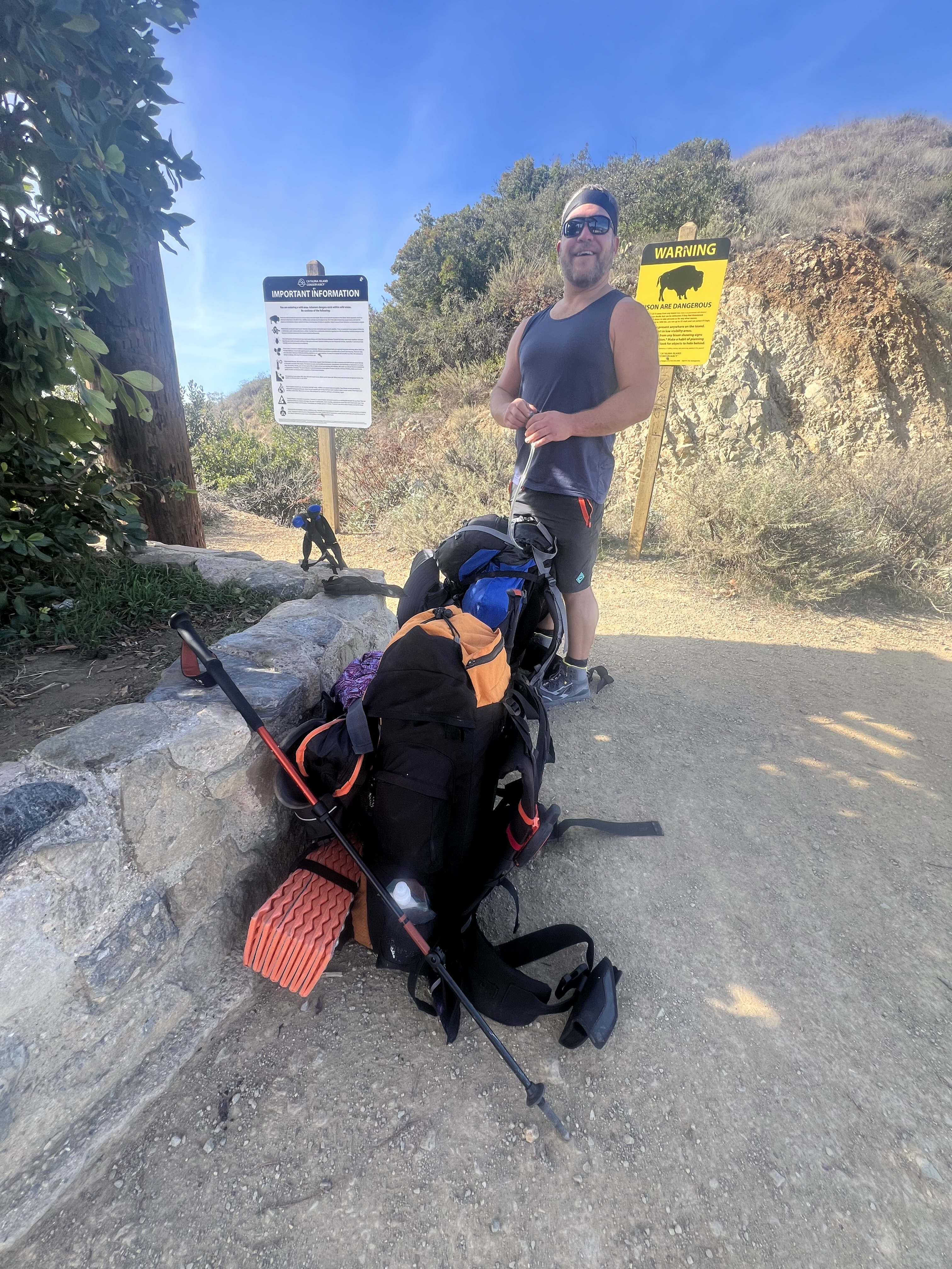
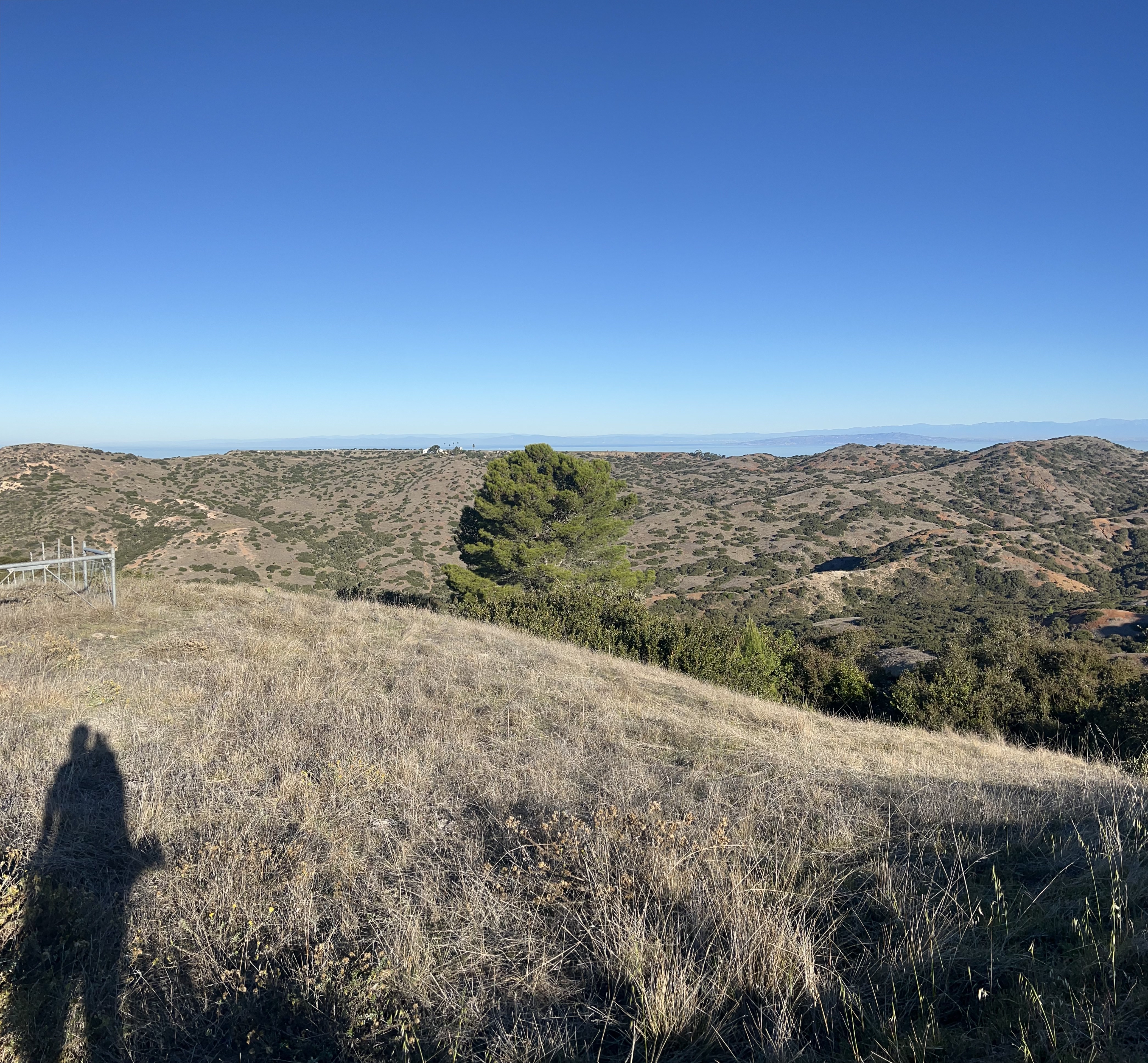
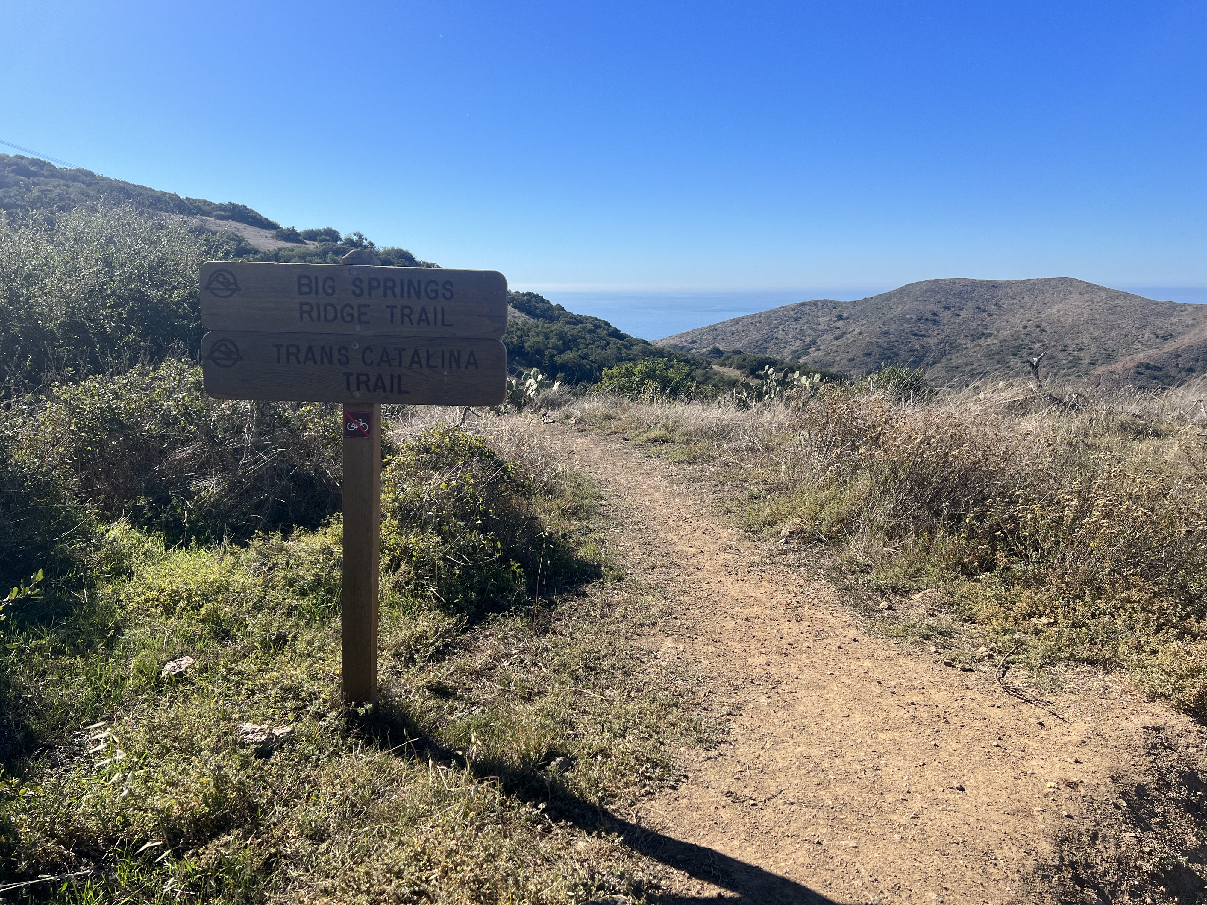
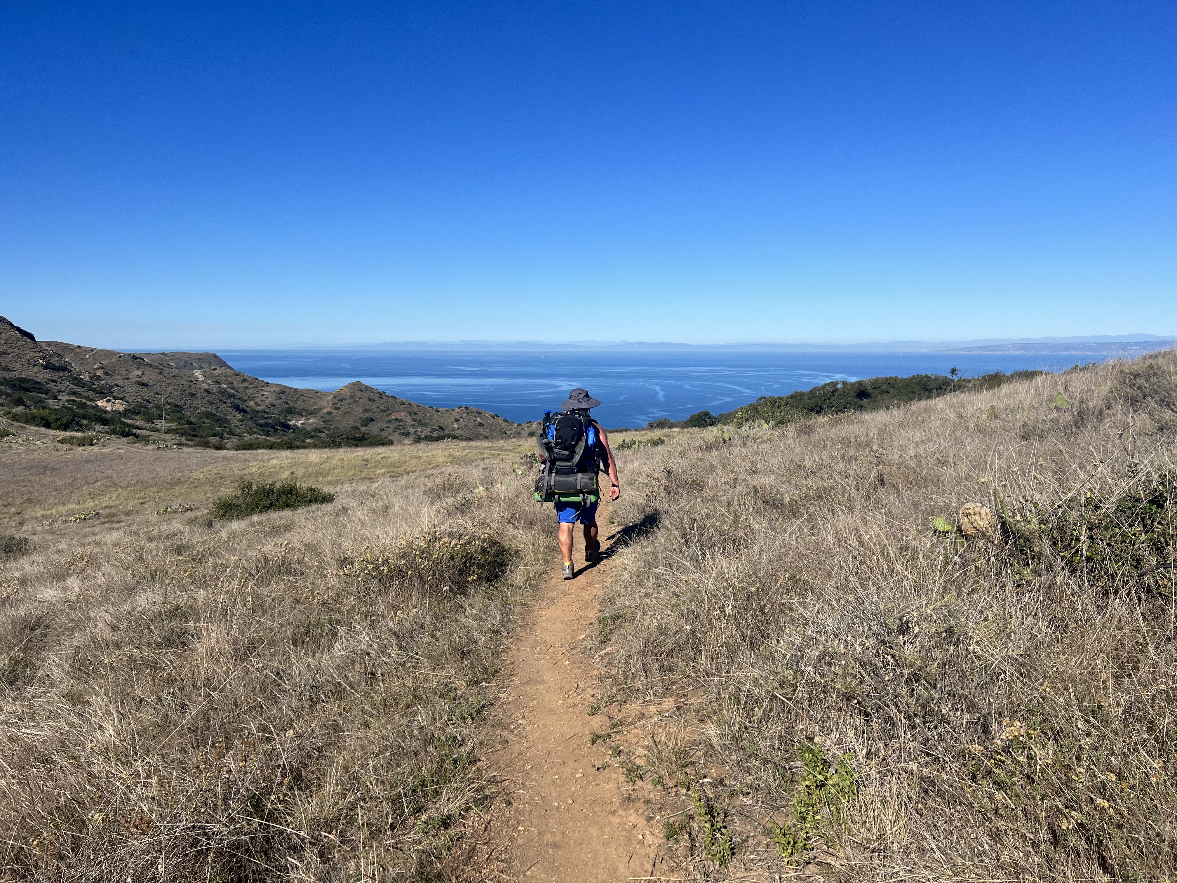
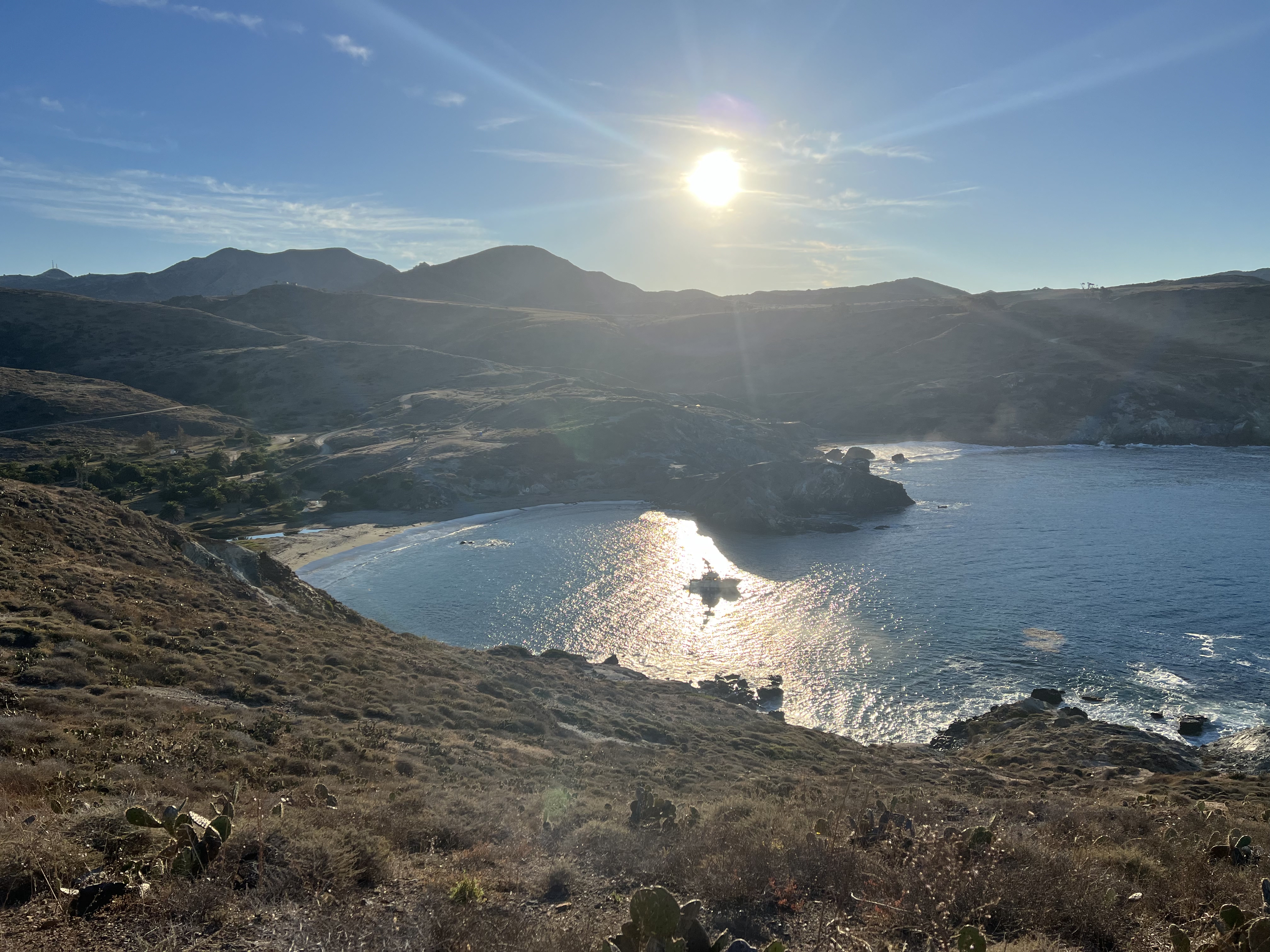
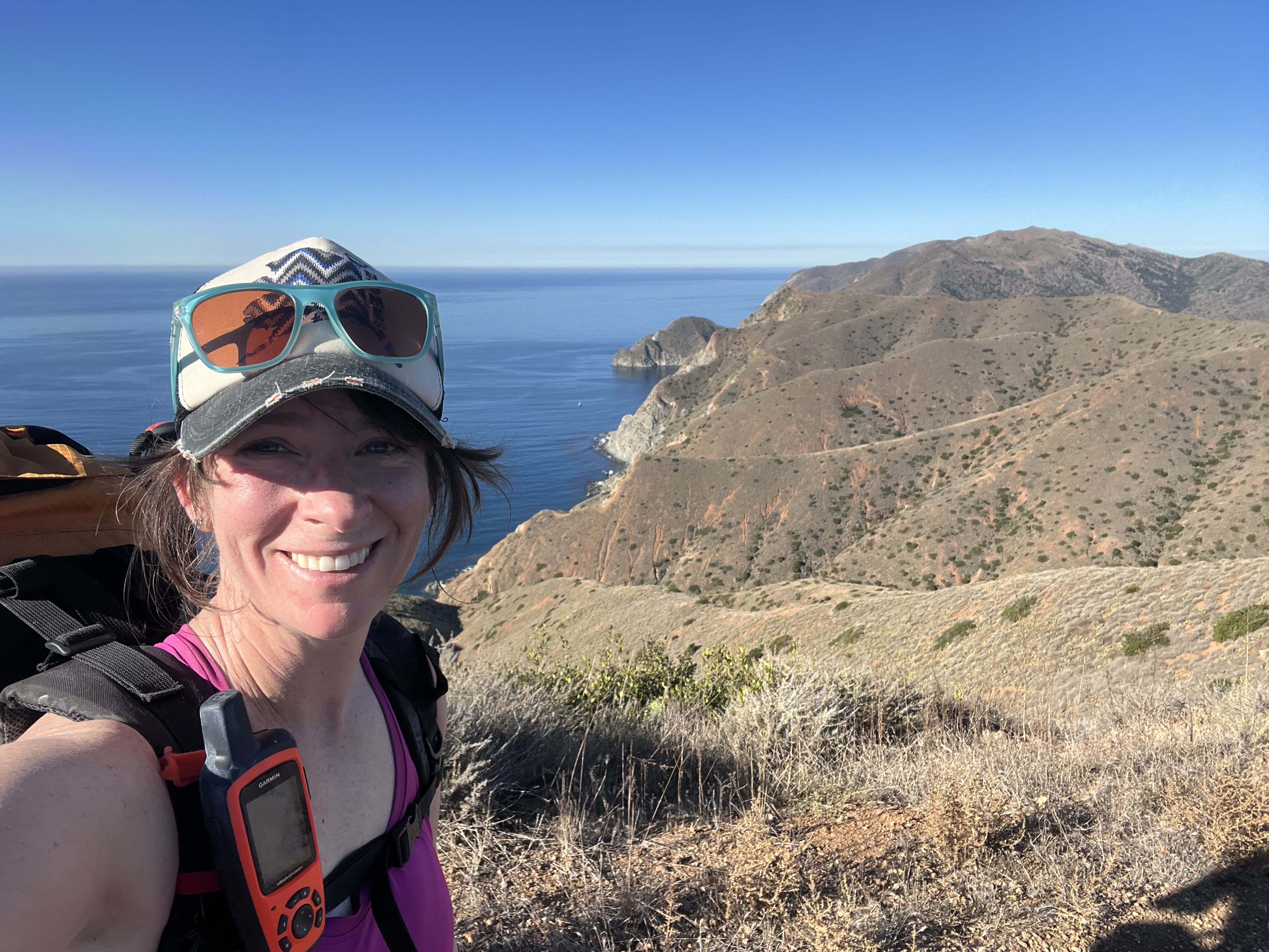
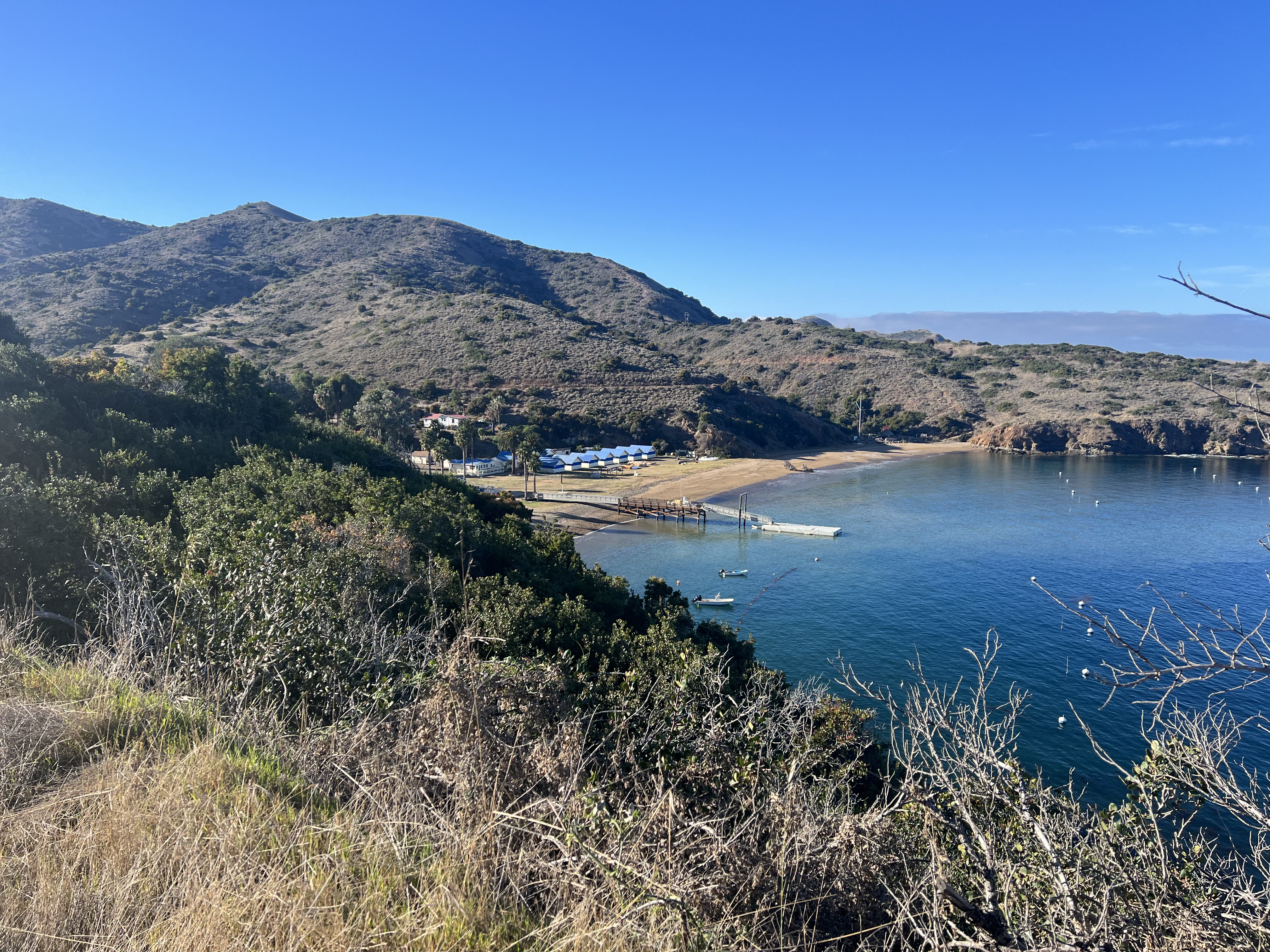
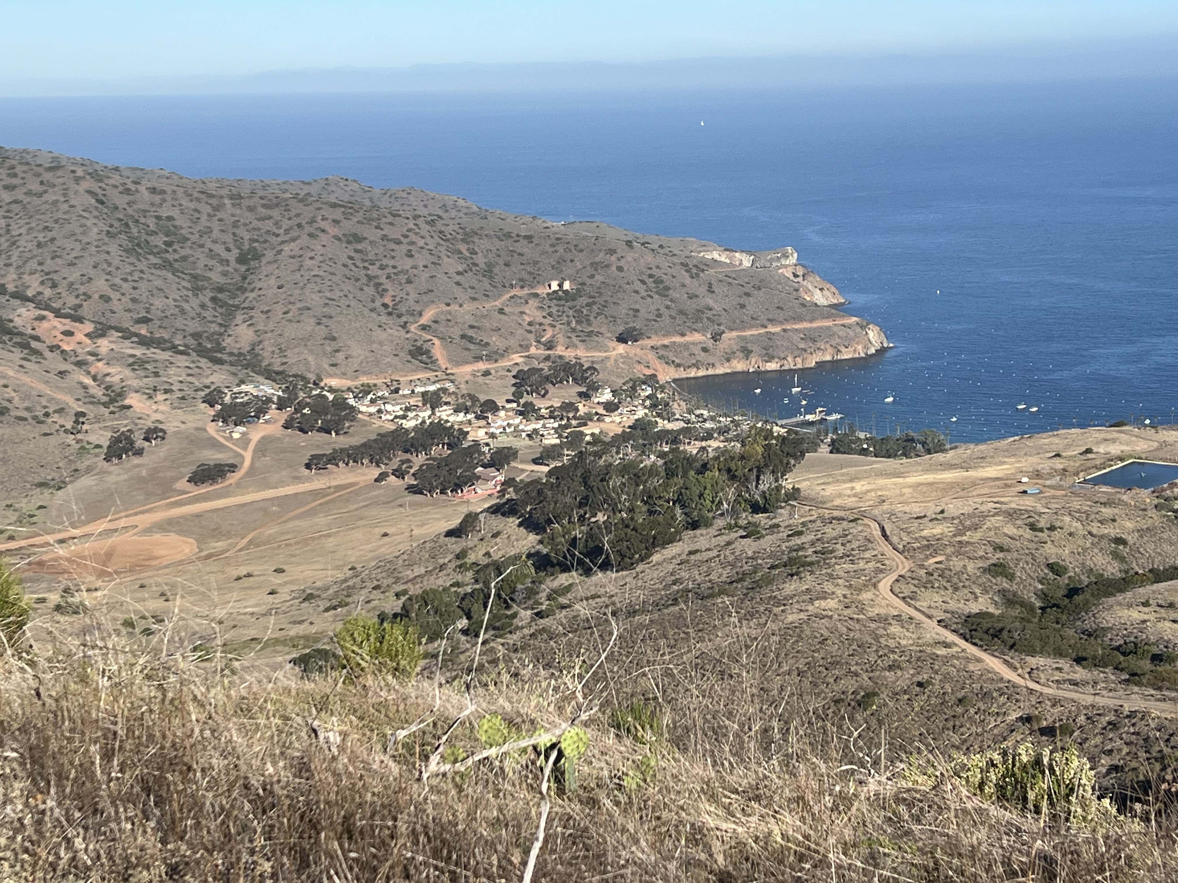
Leaving Airport In the Sky, our track took us from a northerly heading to a northeast route, turning southwest after 3 miles at the Big Springs Ridge Trail. Across the valley to the south, we could see a herd of a dozen or so Bison on the ridge, and to the west we could see the ocean. A descent of about 800′ and a little more than two miles was all that was between us and our beachside camp. We hustled our way down towards the sea and palm trees that became closer with each step. We were starting to get the views we came for!
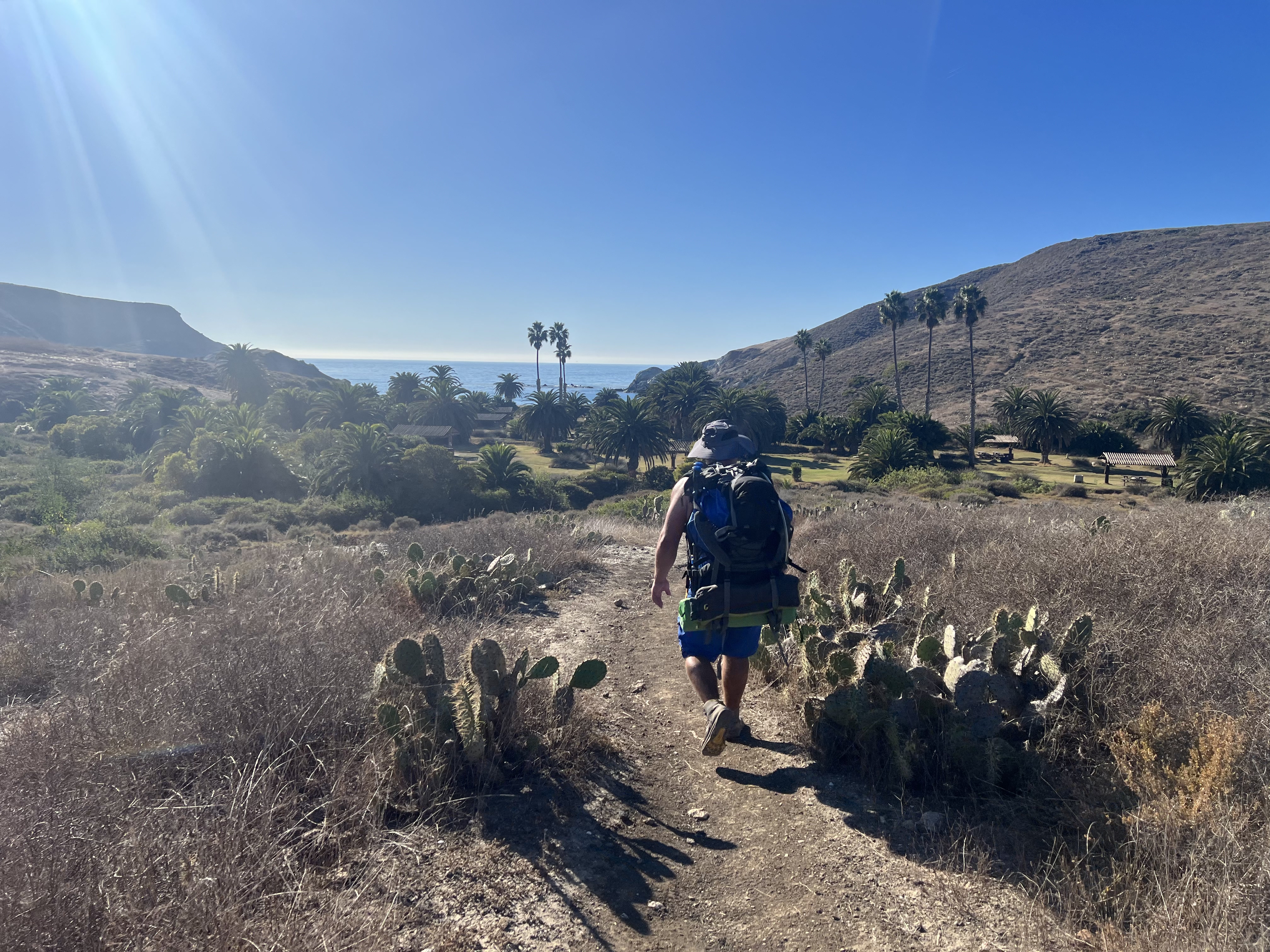
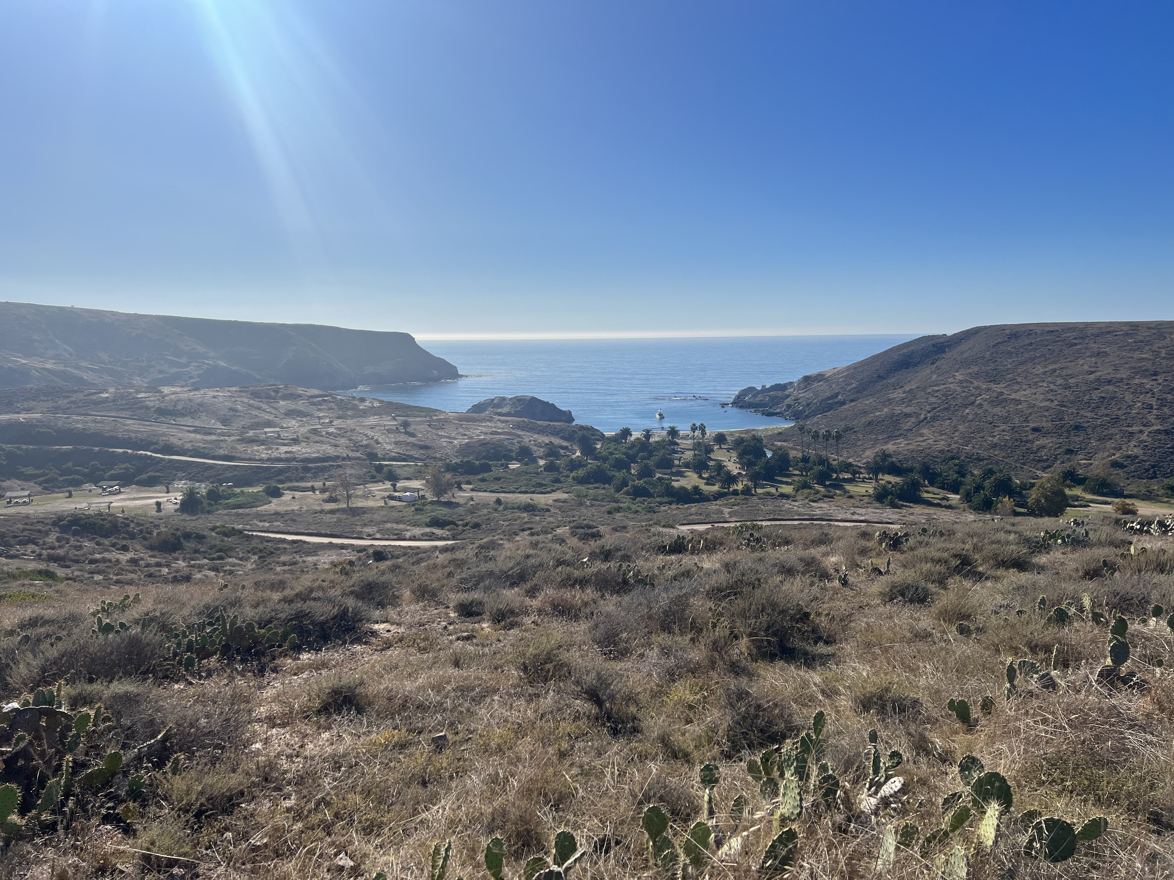
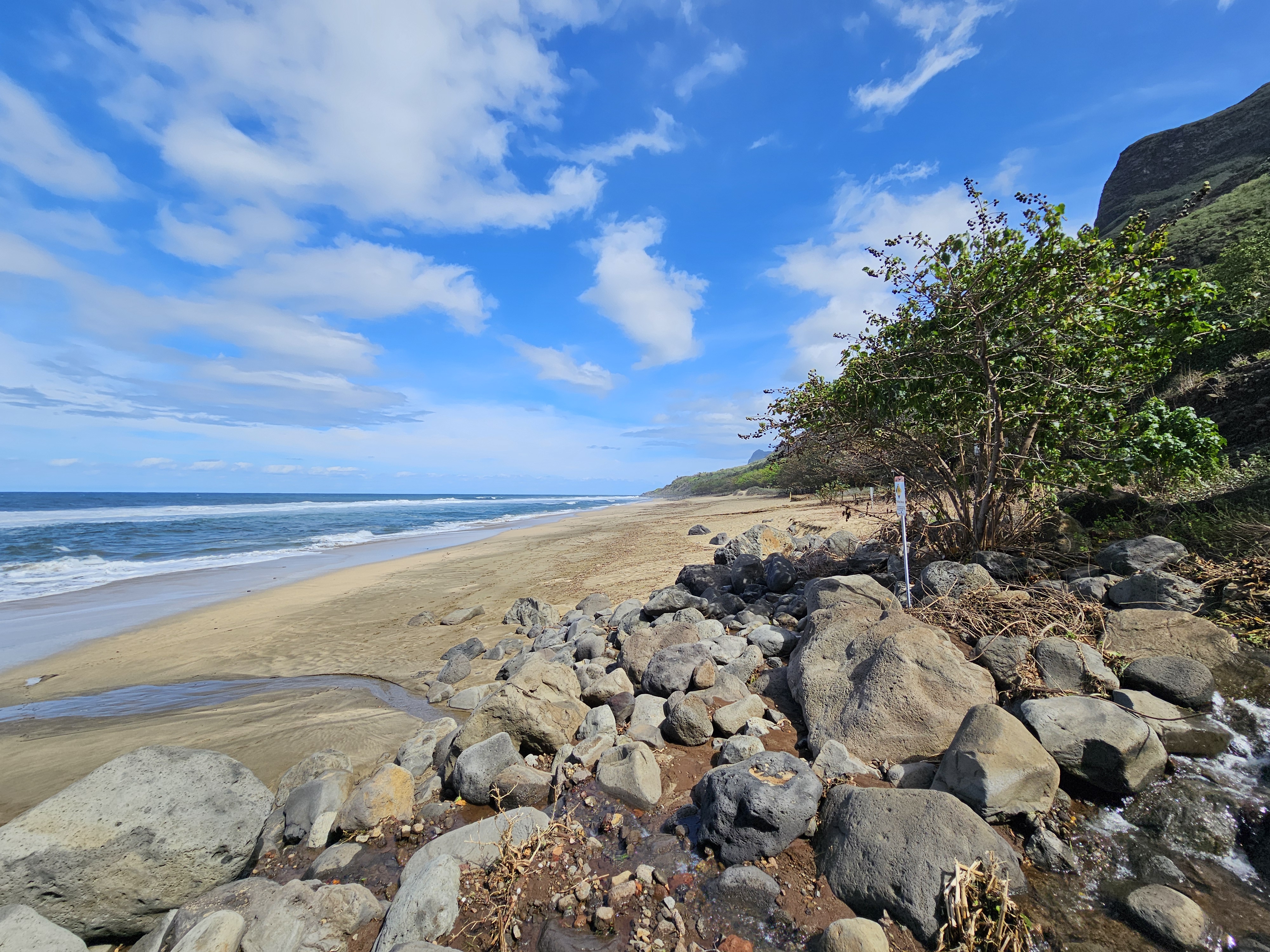
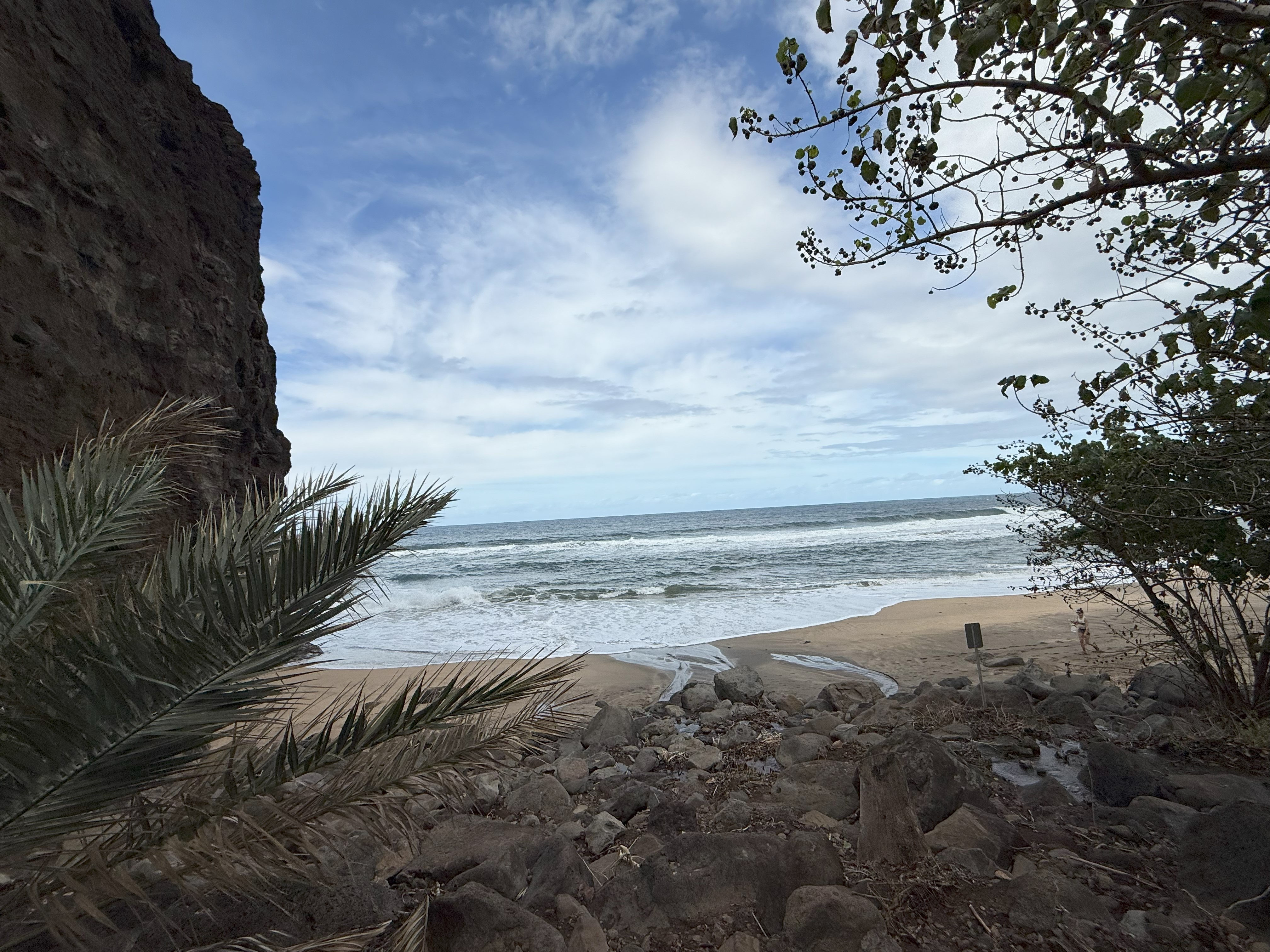
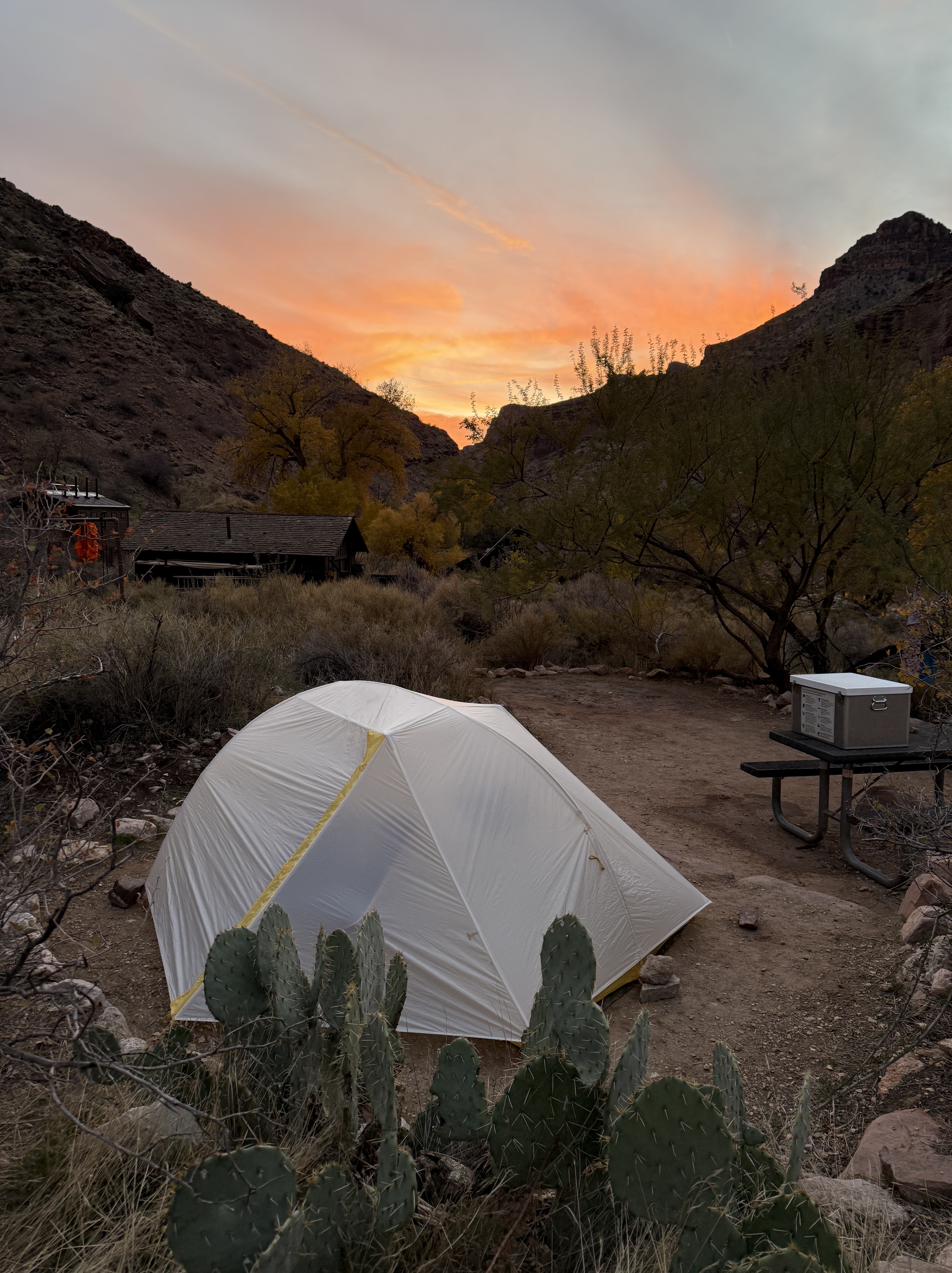
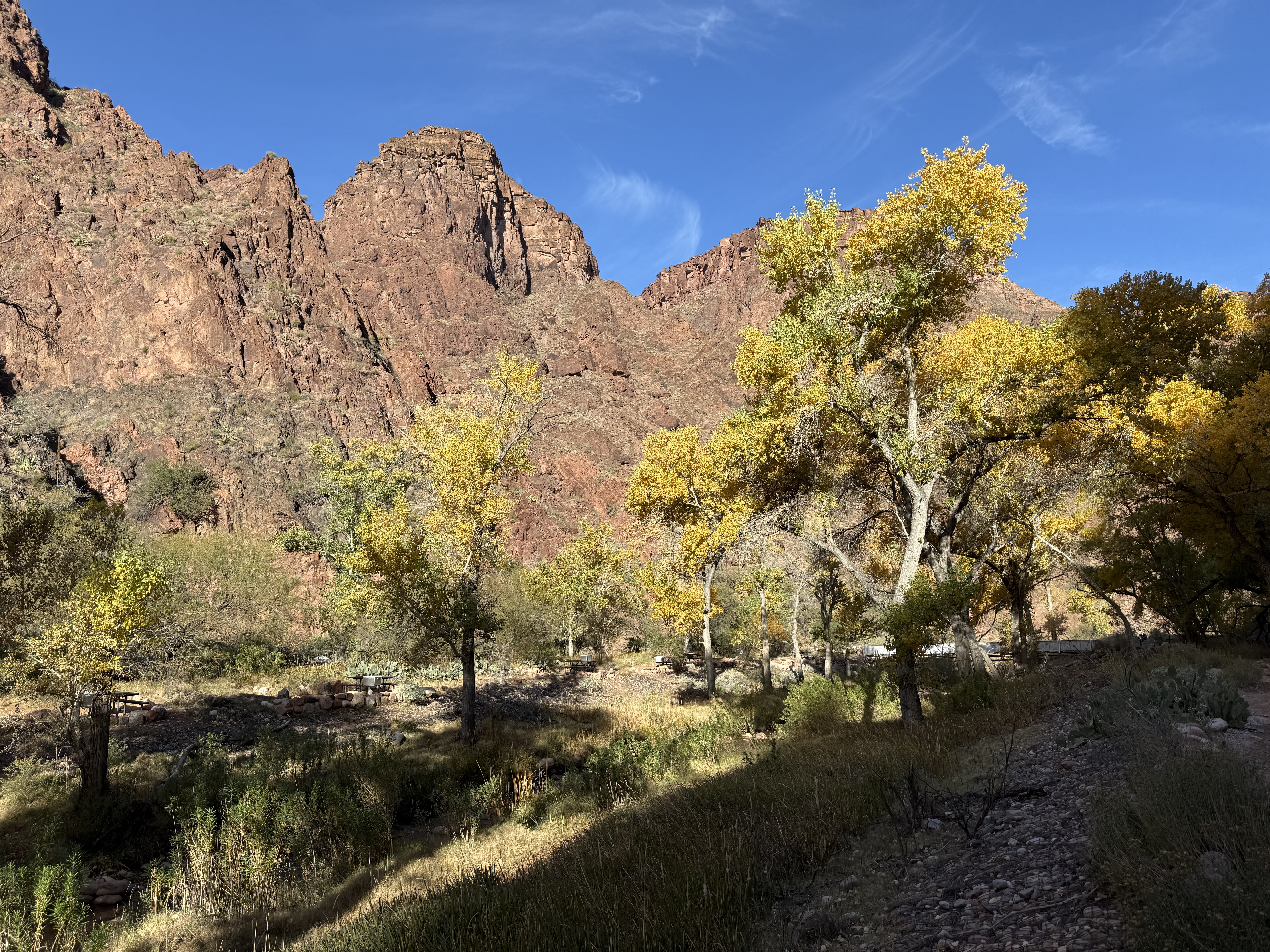
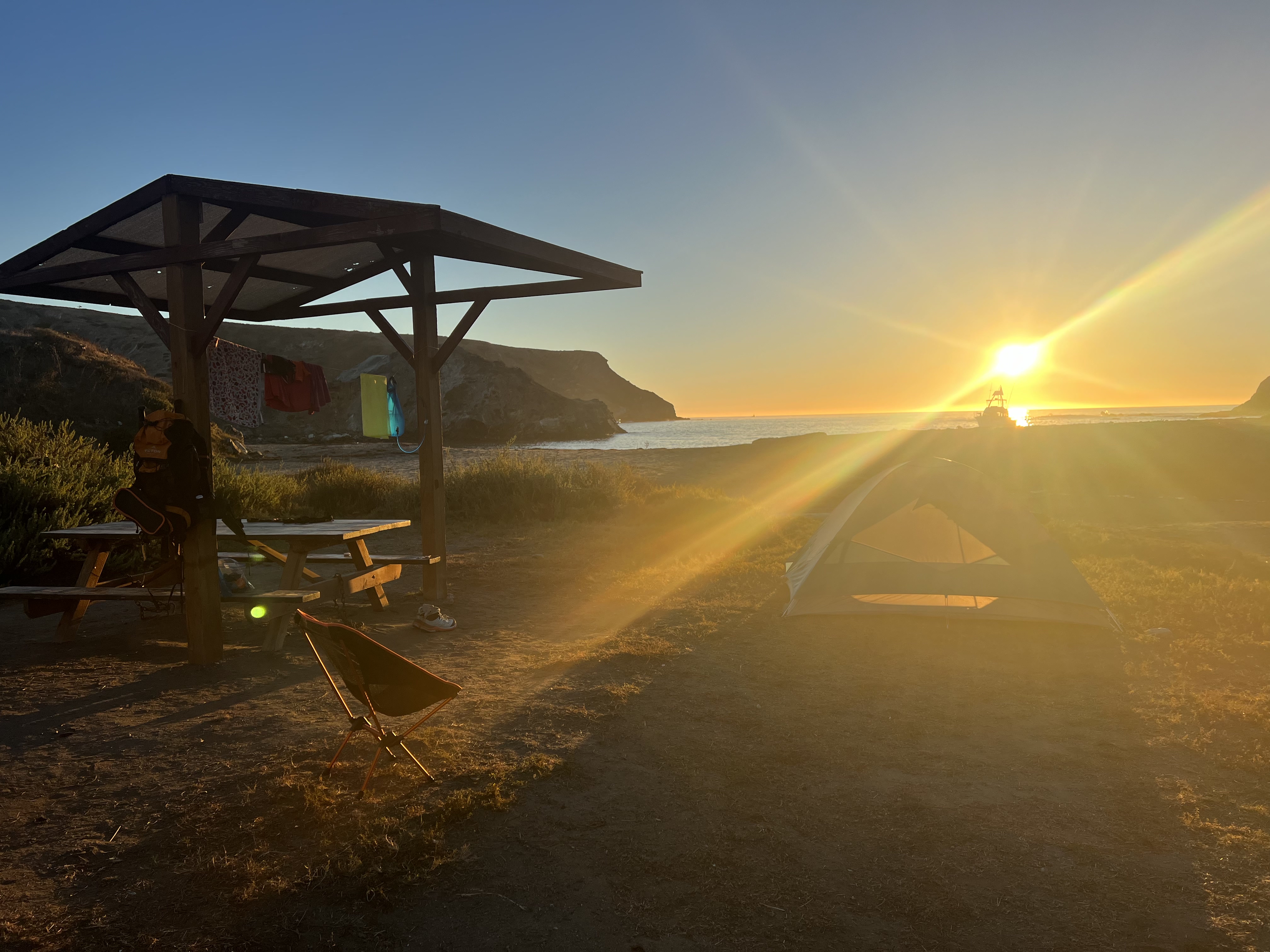
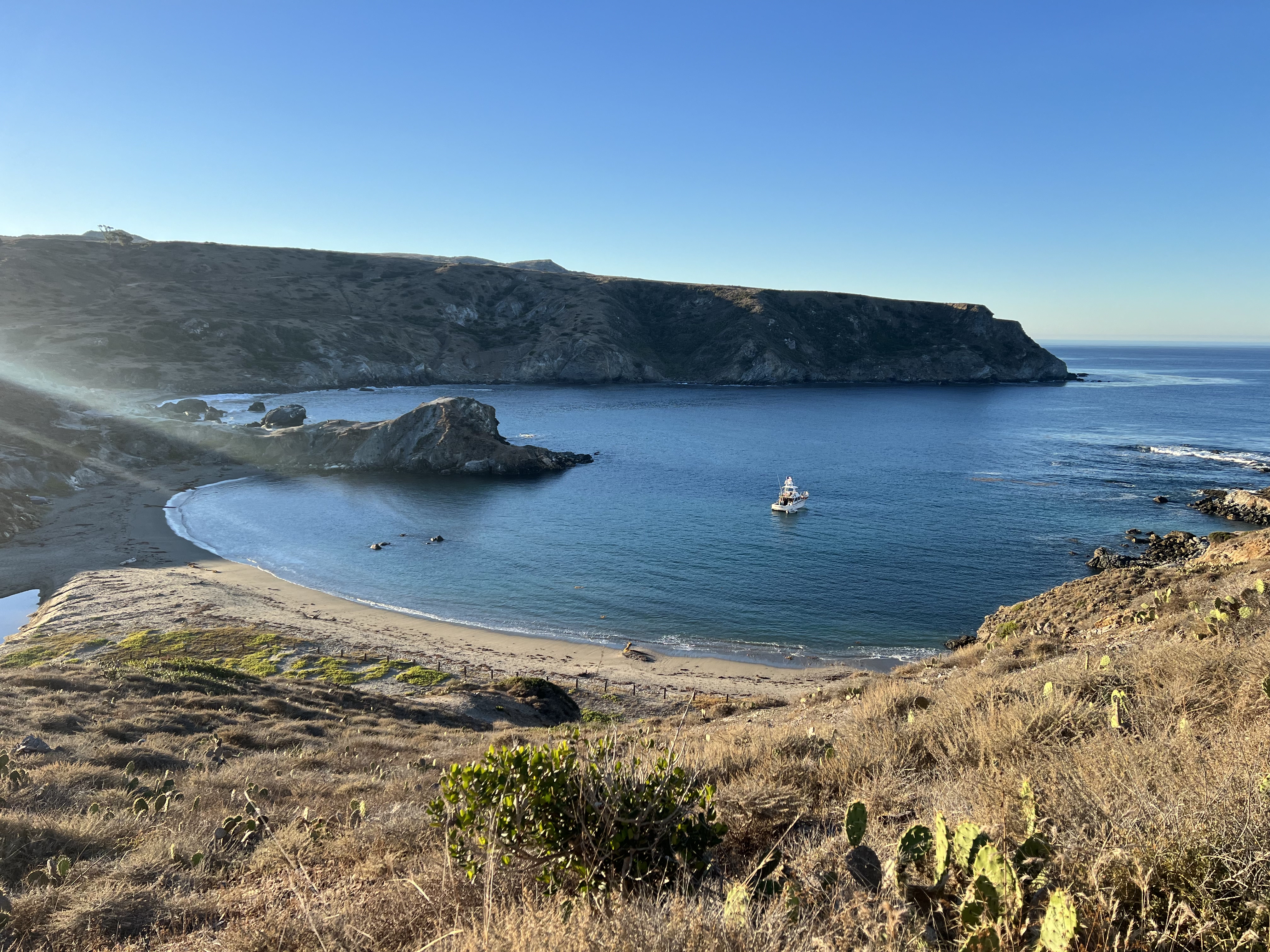
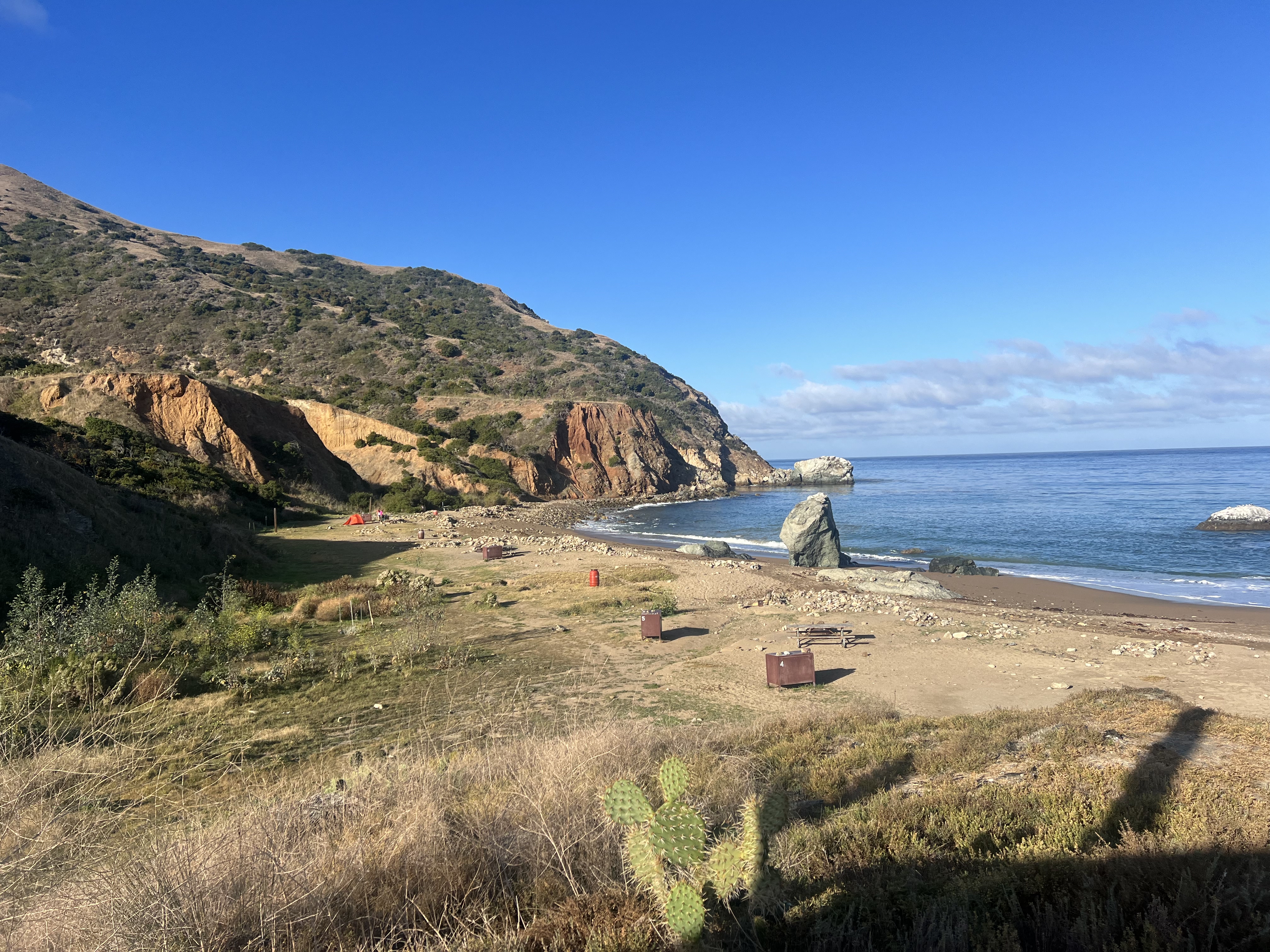
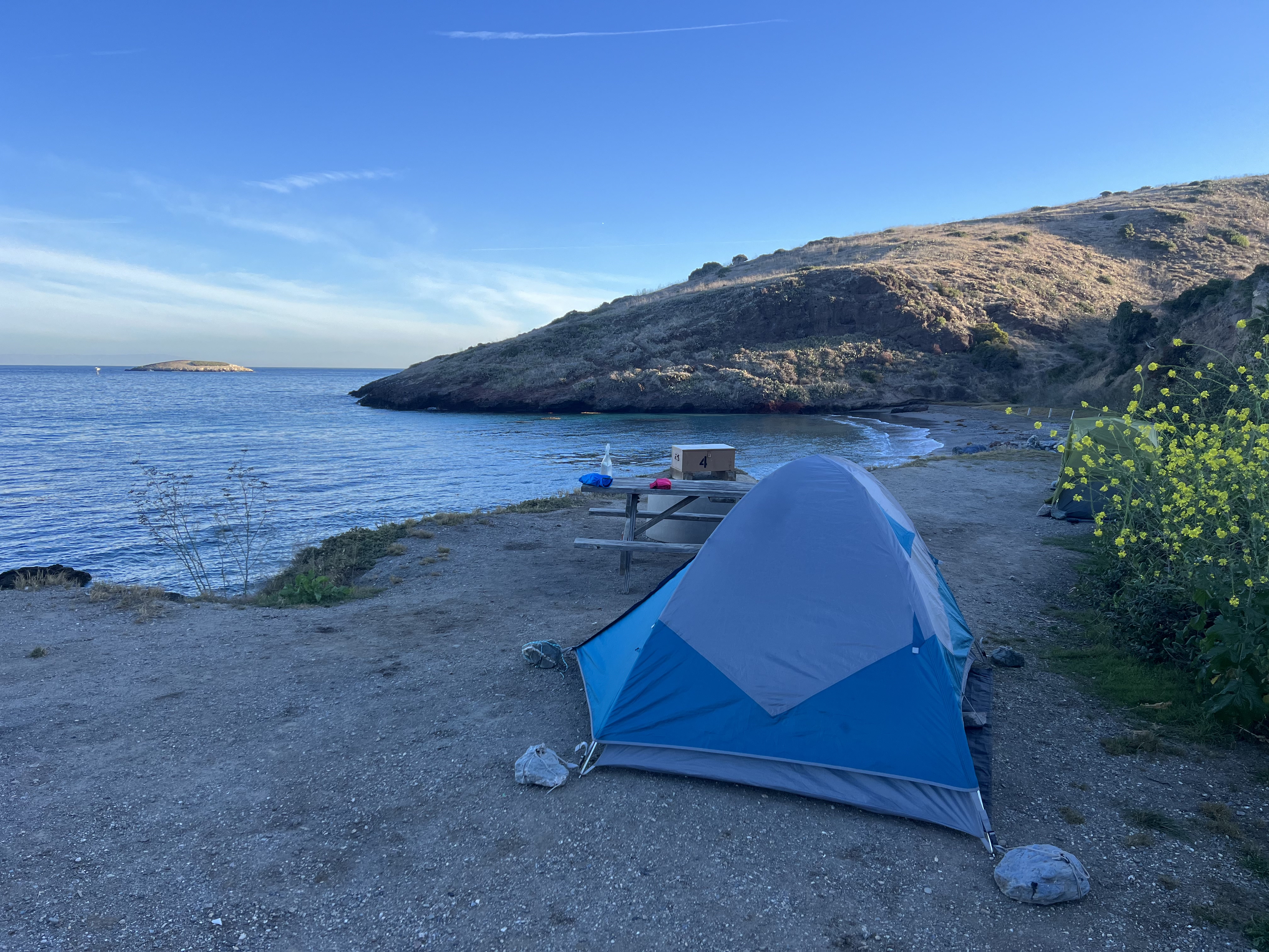
We arrived at our camp at 2pm, plenty of time to settle in and then go for a swim. Our site was reserved at Little Harbor, which is a calm water area; the neighboring Shark Harbor being notorious for rockier, rougher water was not as appealing. I quickly donned my swimsuit, grabbed my camp chair, and headed down to the ocean, only steps away from our campsite. I spent an hour swimming and sitting on the beach, thoroughly enjoying this gorgeous place and wishing I had booked two nights here.
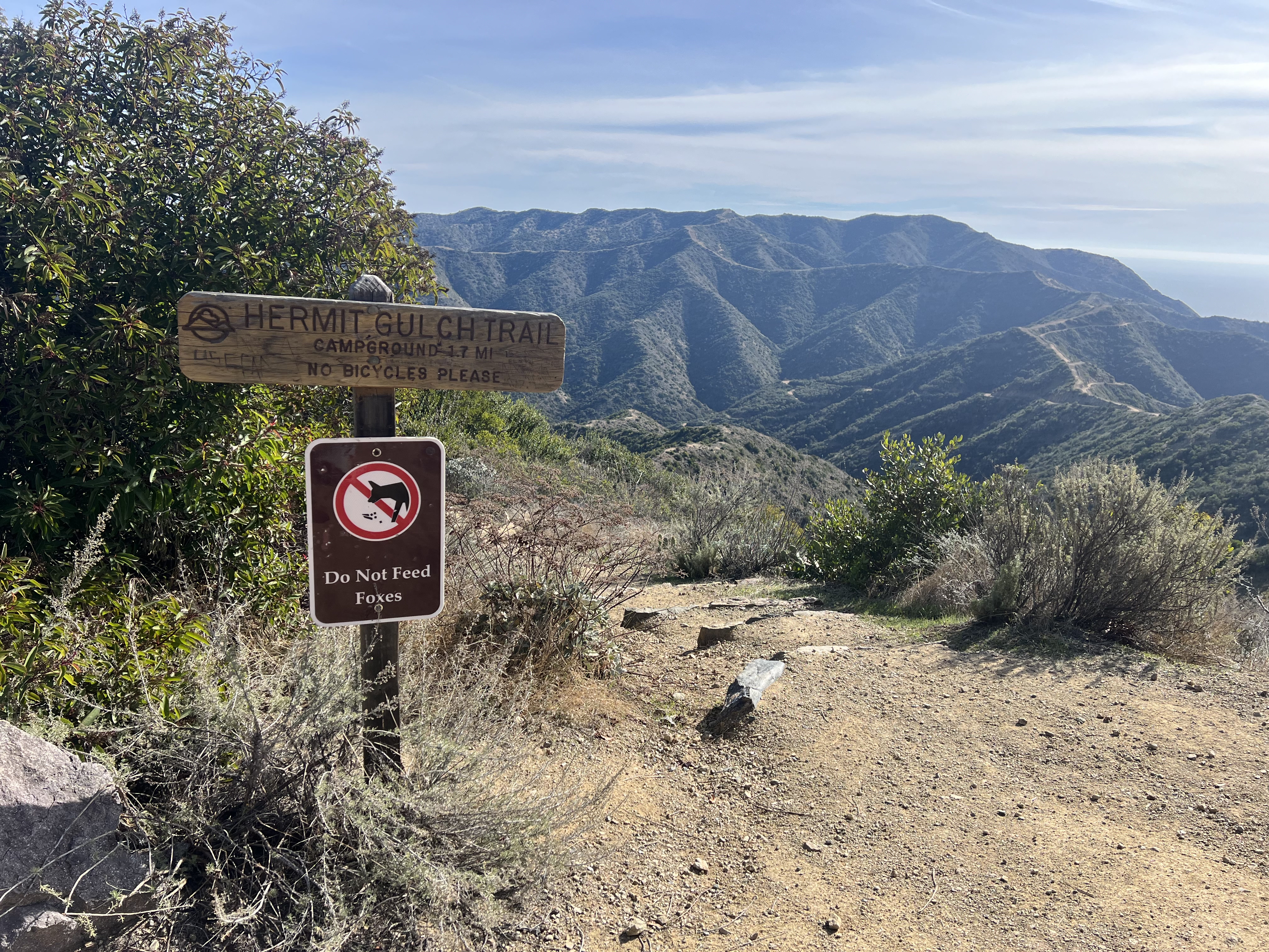
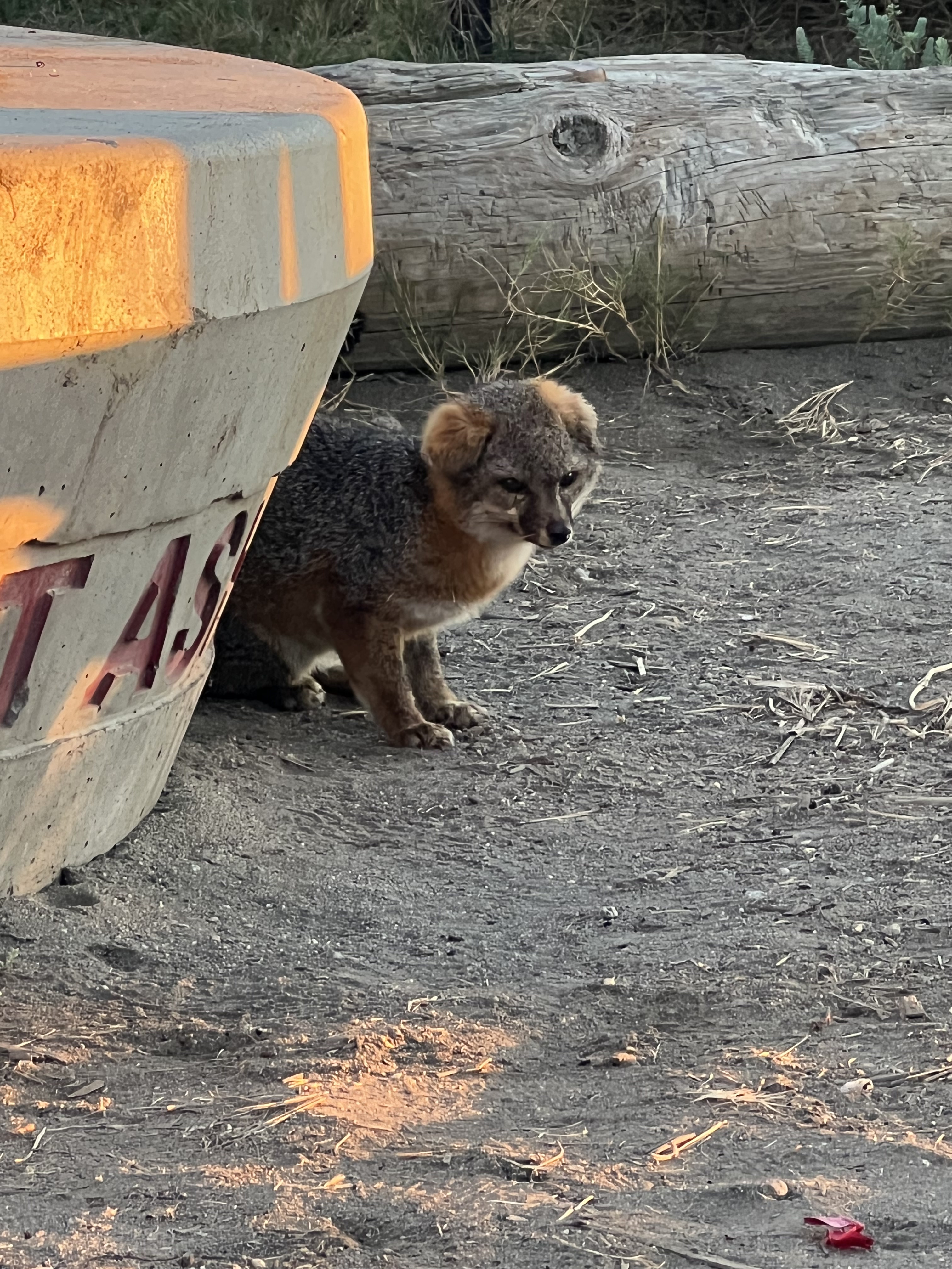
I used one of the outdoor cold showers to rinse off the salt, filled up my water bottles at the filling station, and went back to our camp to make dinner and coffee. A little fox was hanging around, hoping for scraps, and not at all afraid of us. We guarded our food with our lives.
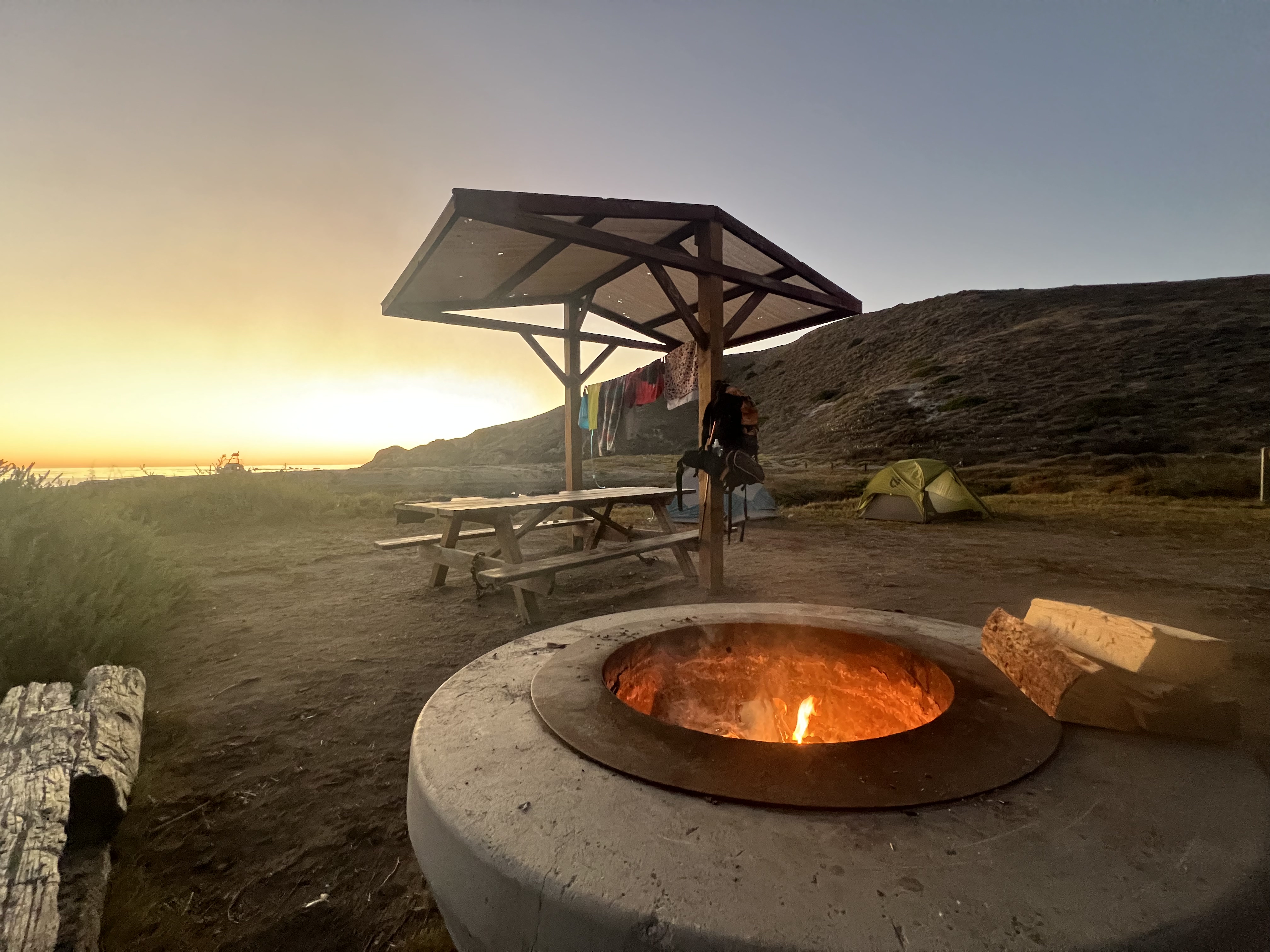
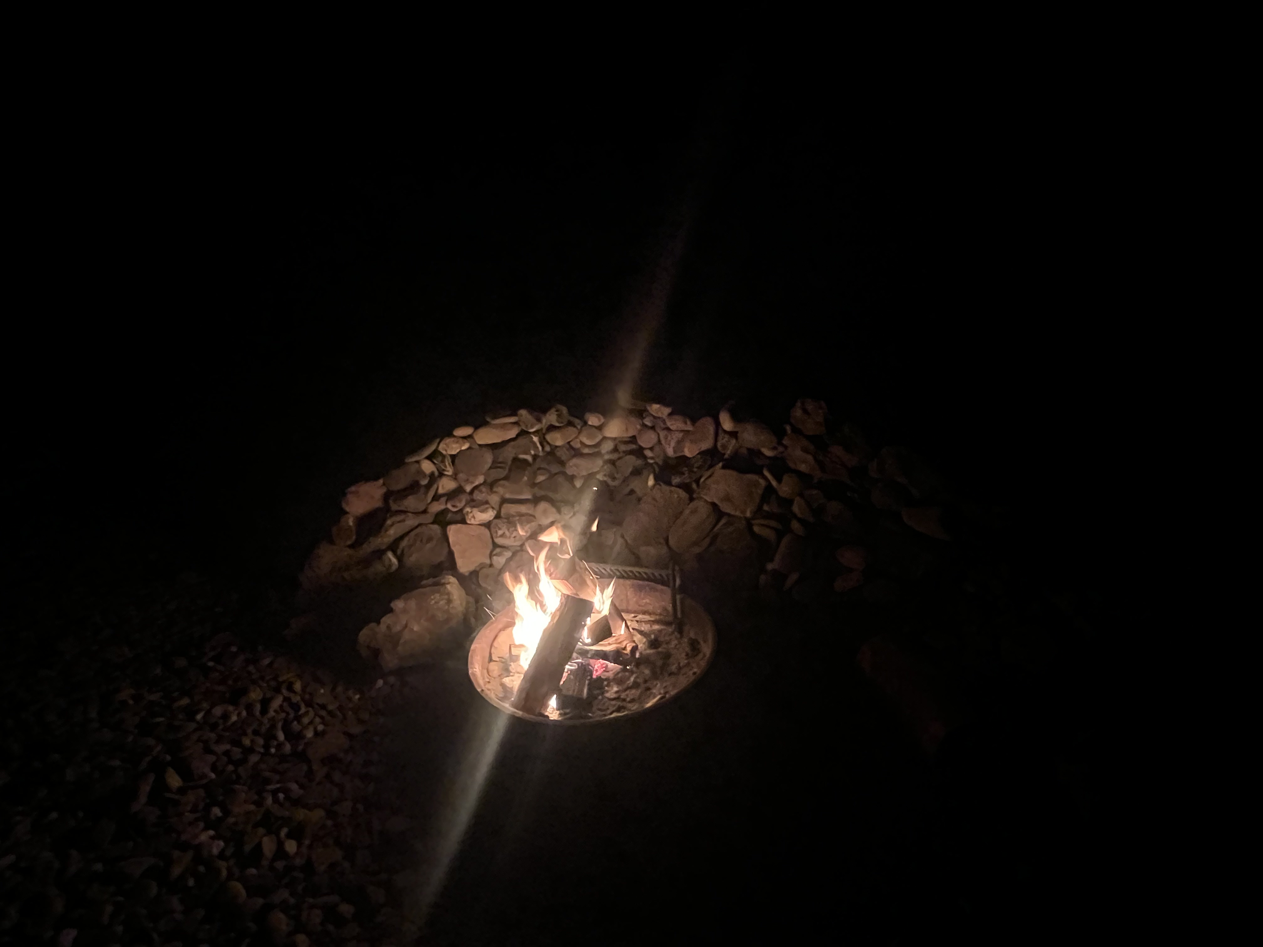
Our pre-ordered bundles of wood and firestarter were waiting for us in our critter box and it didn’t take long to get a fire going as we were treated to a glorious sunset over the harbor. We stayed up for a while, making sure to use up all of our wood, before turning in for the night, now almost 20 miles from where we had disembarked from the ferry.


Day 3
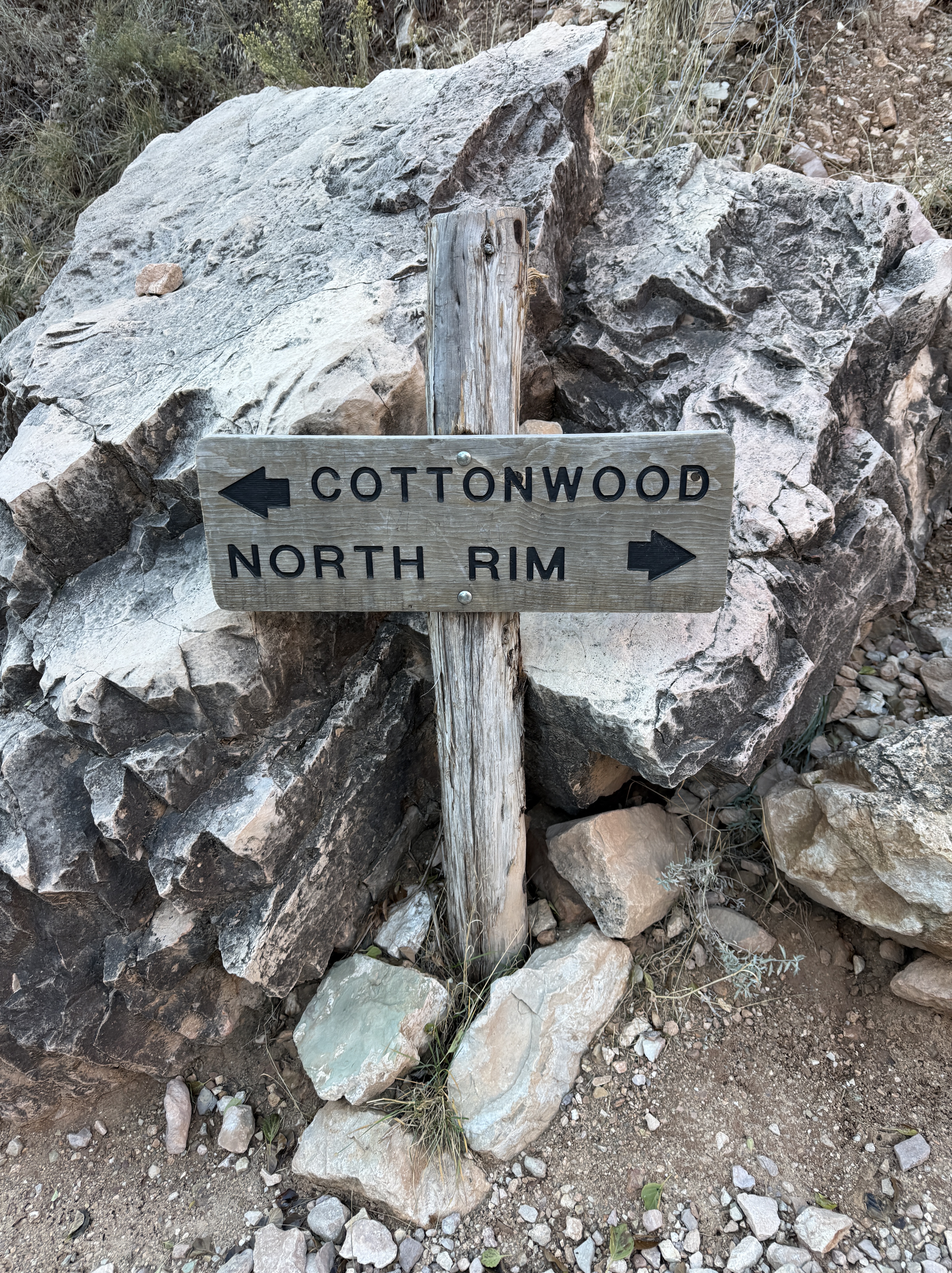
Little Harbor → Two Harbors → Parson’s Landing via the Road
13.5 Miles, +3300′
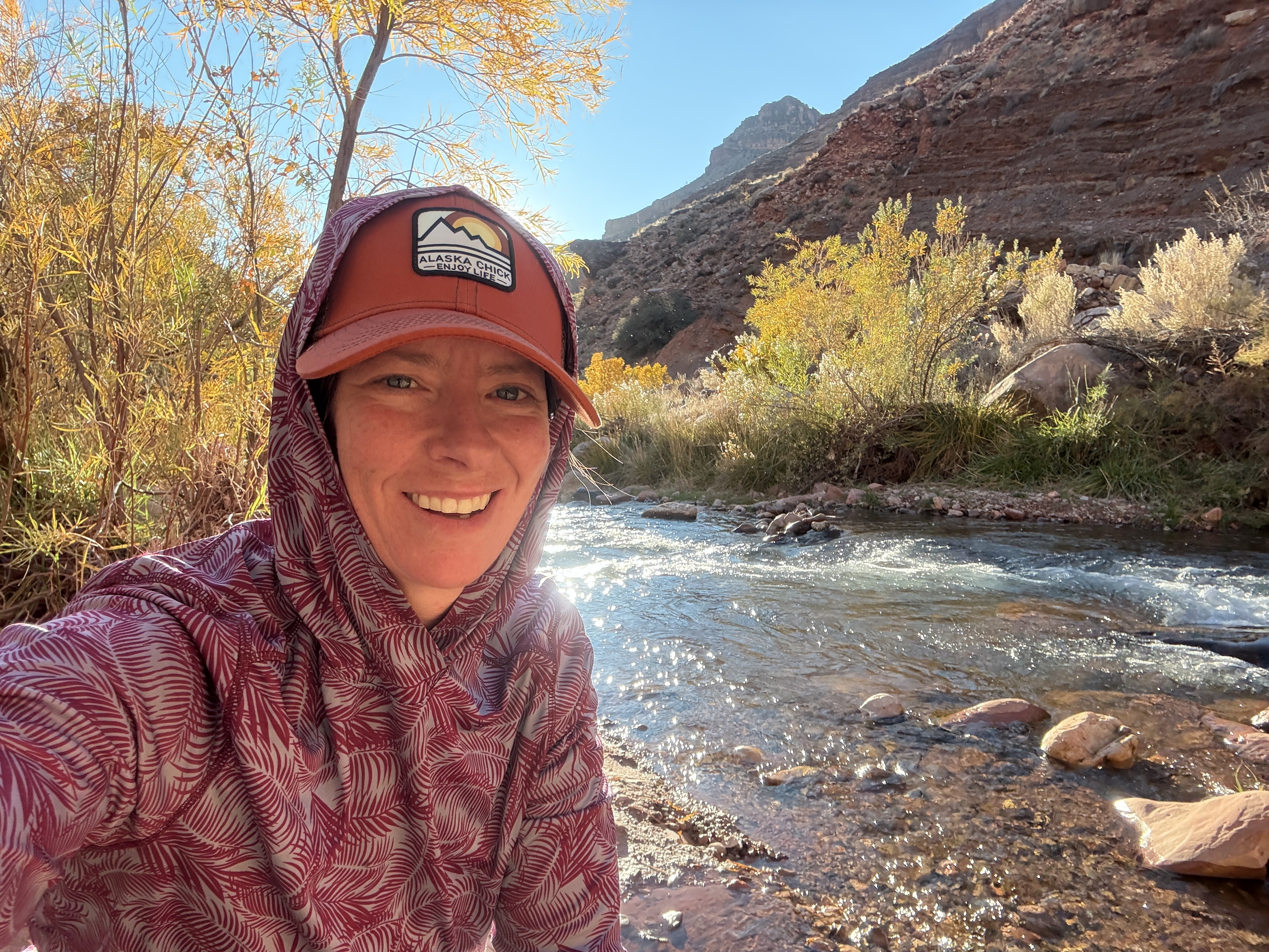
The weather so far had been perfect and today was no different. The cold night we had experienced at Hermit Gulch was no longer the norm, and we slept comfortably, although a warmer sleeping bag wouldn’t be a bad idea during the winter months.
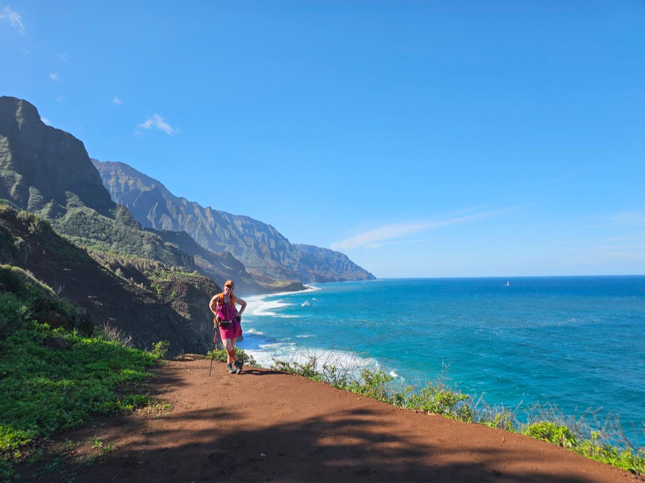
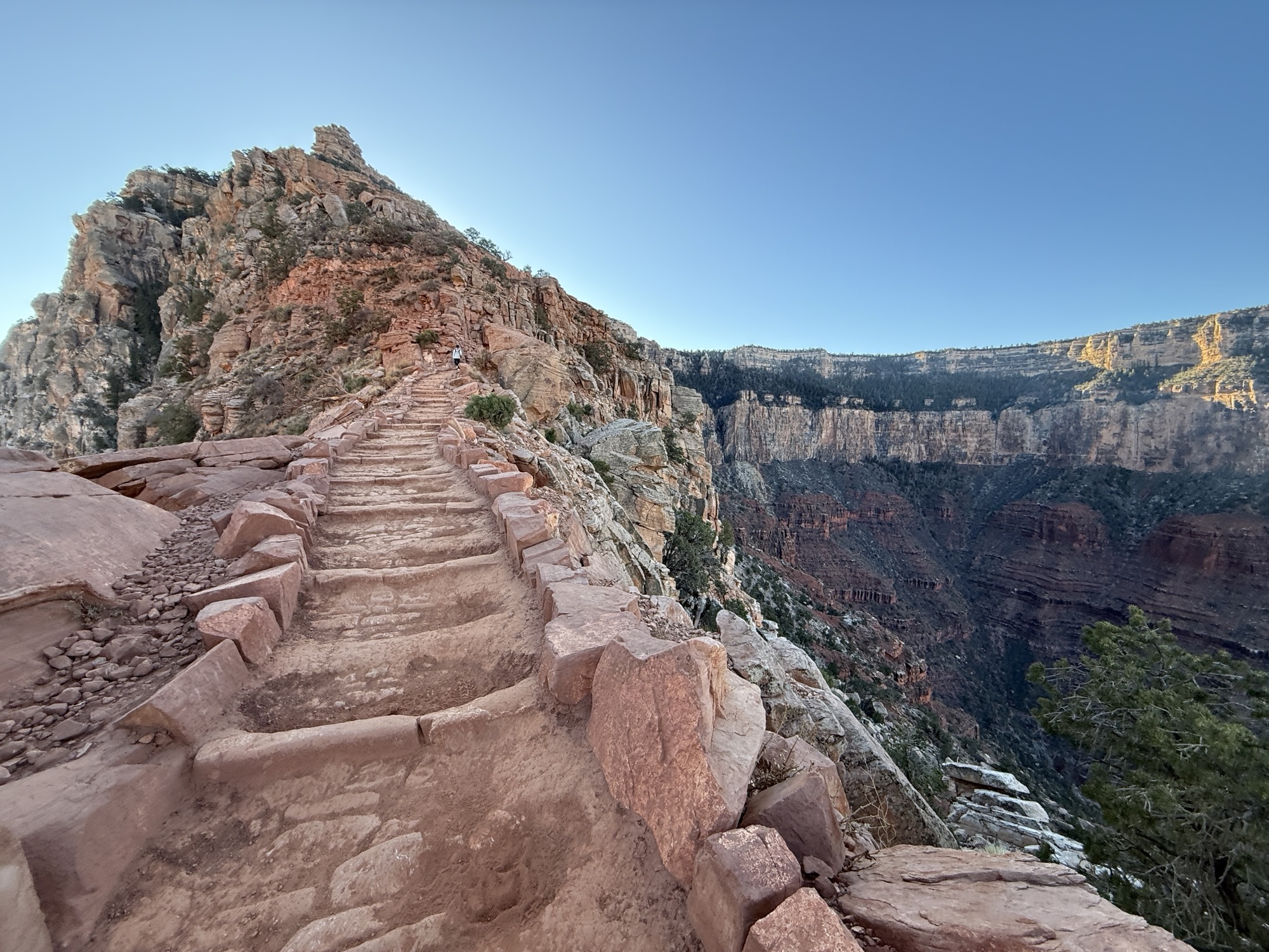
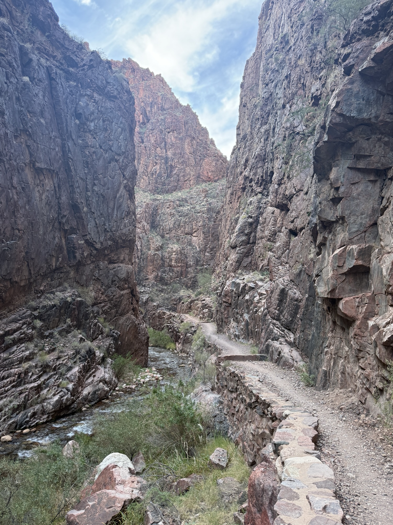
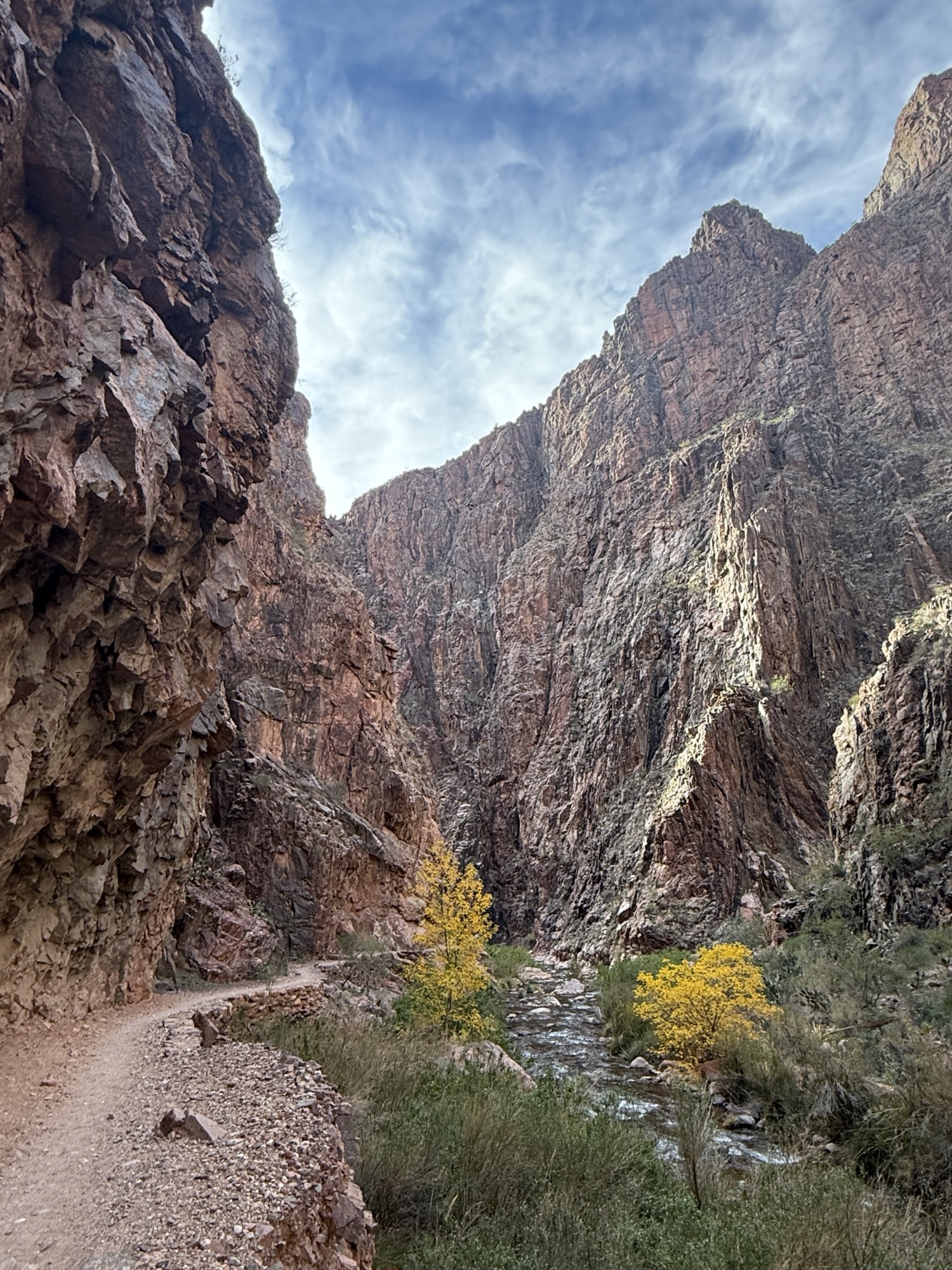
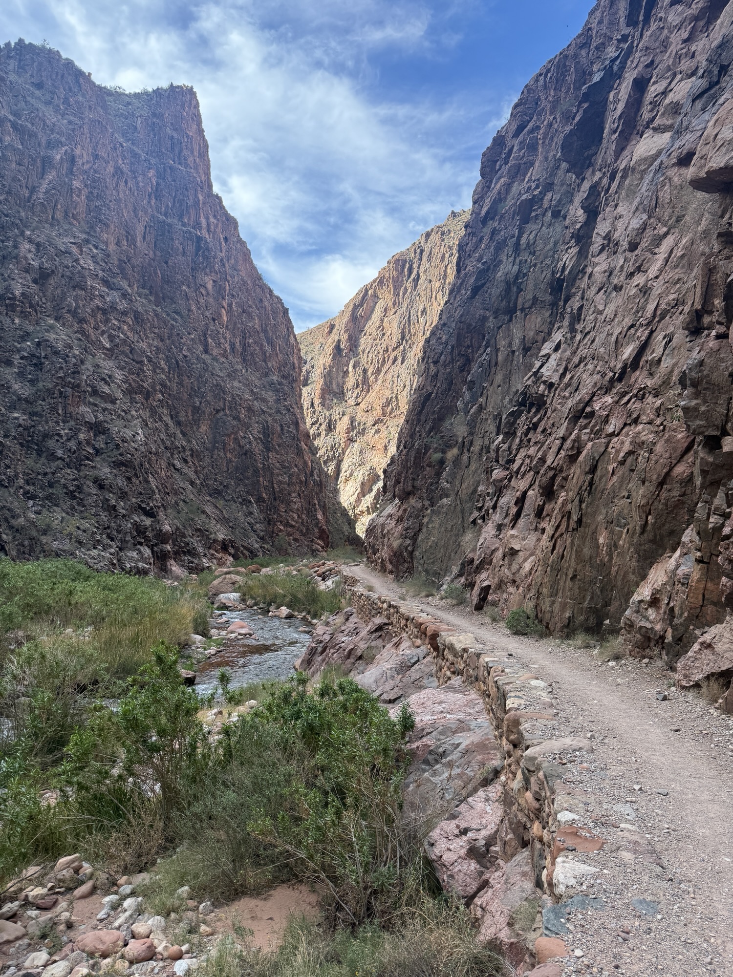
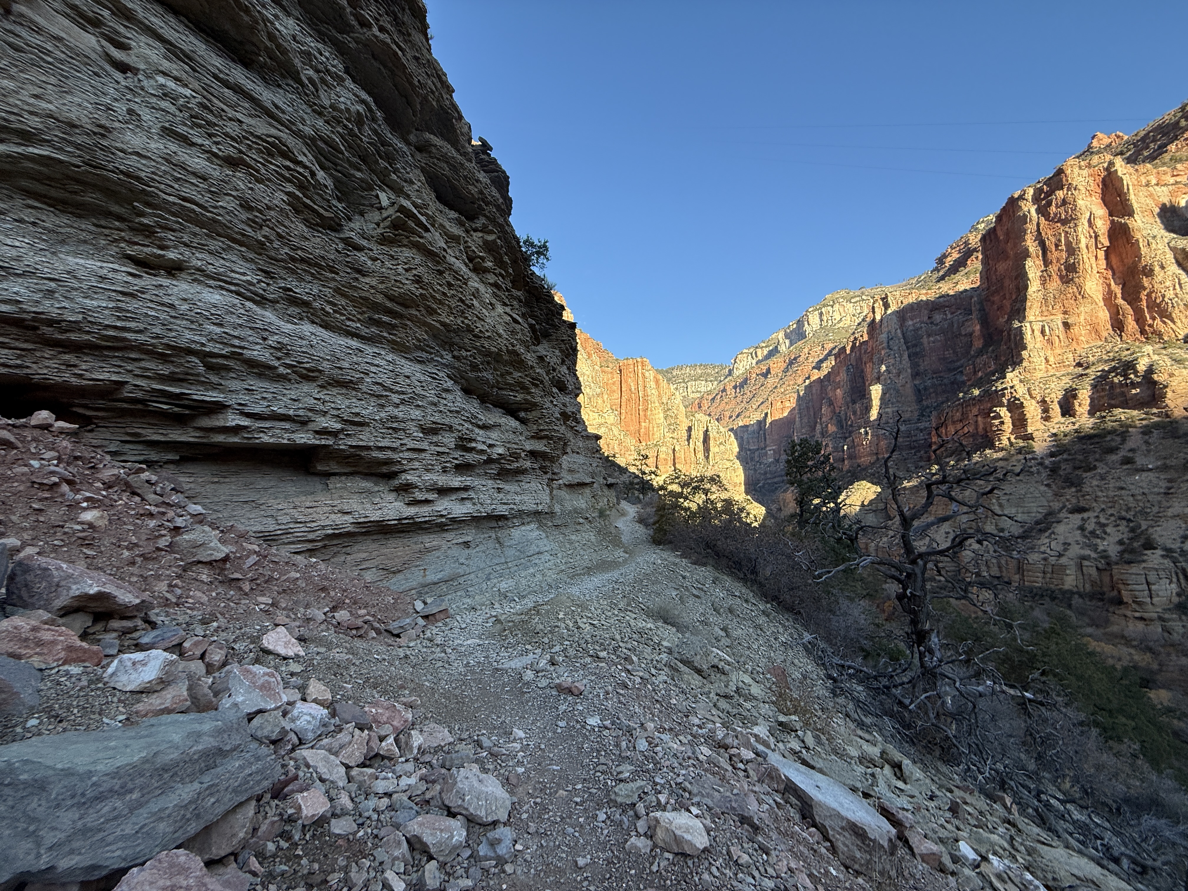
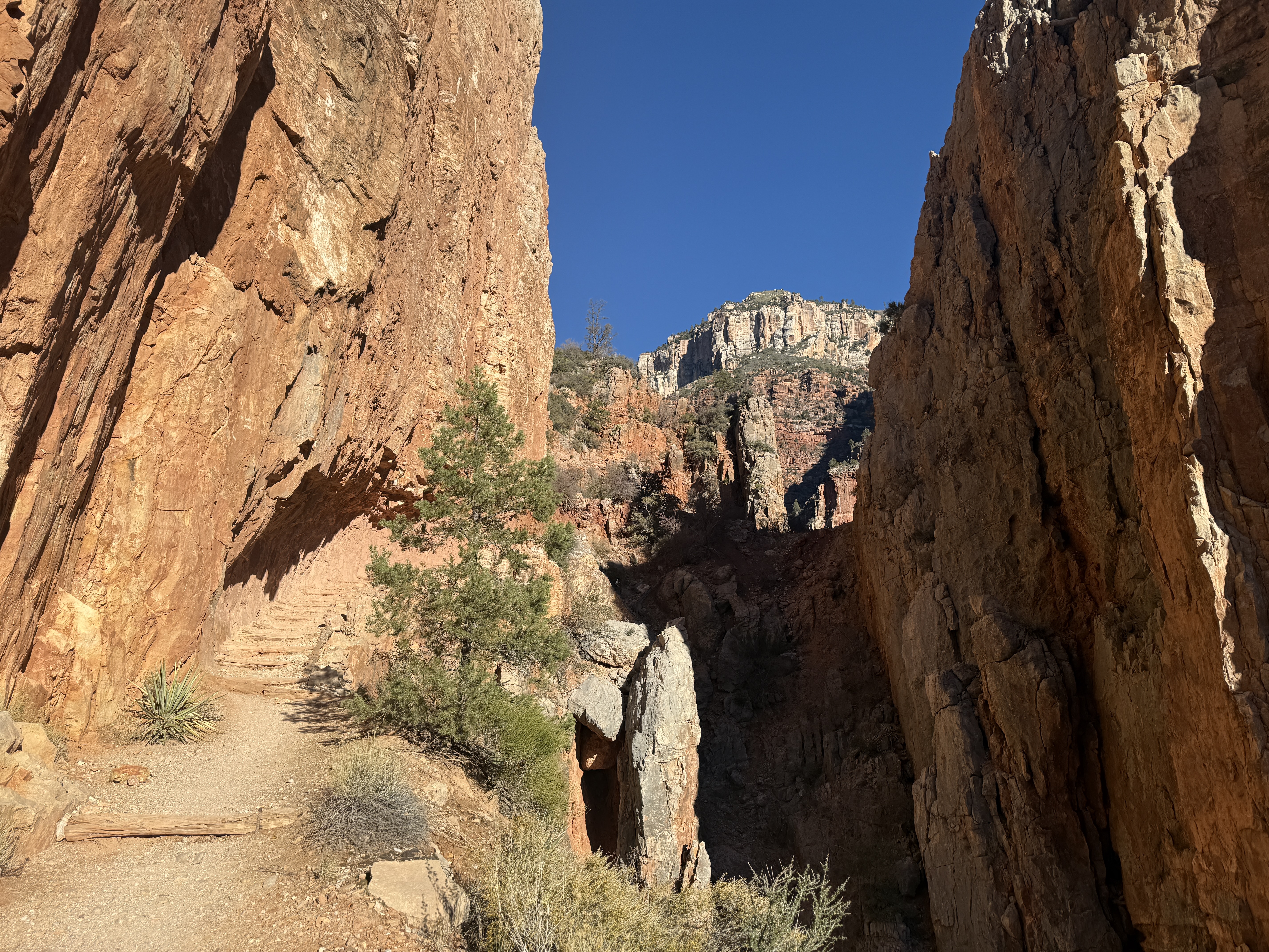
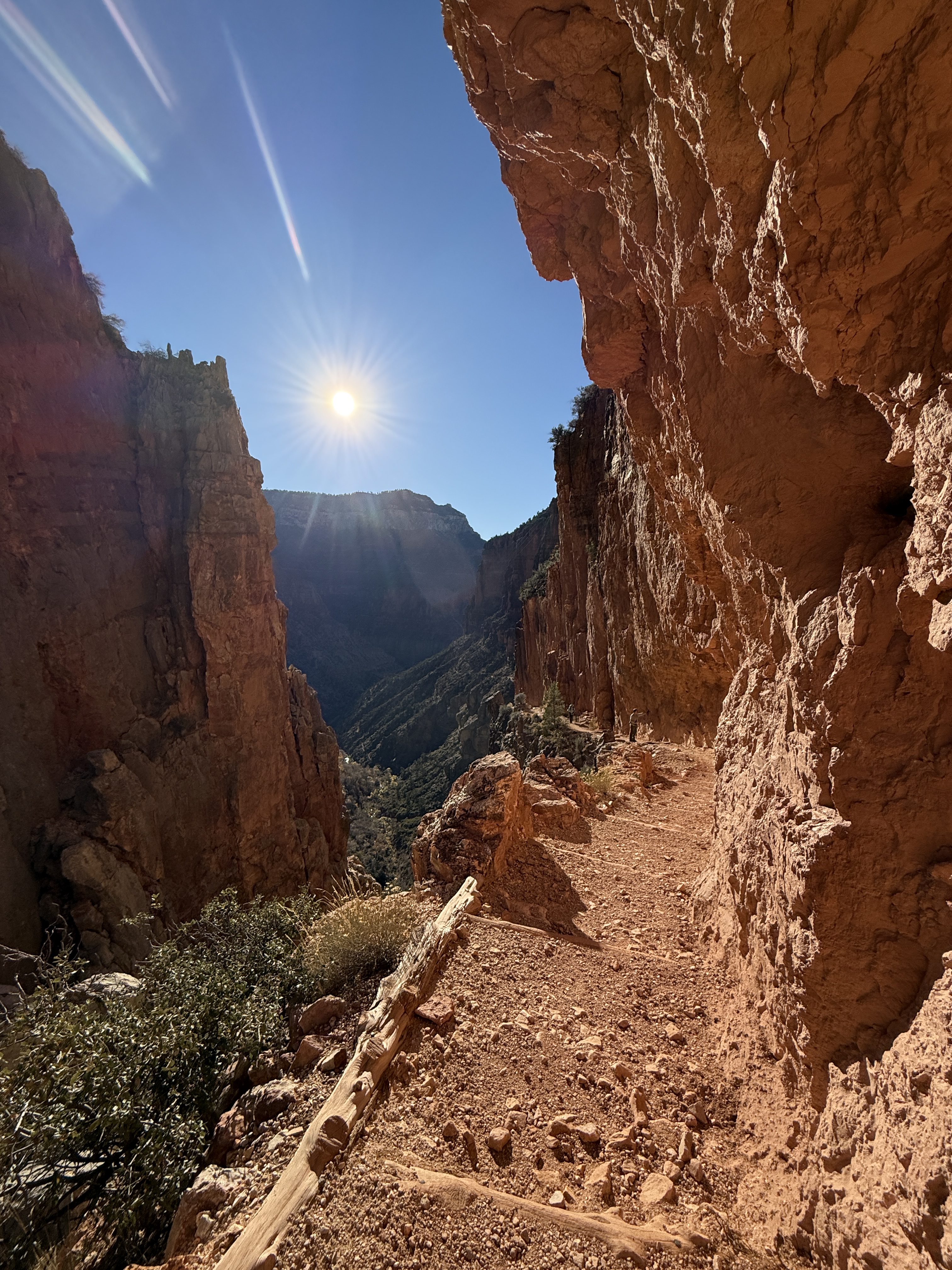
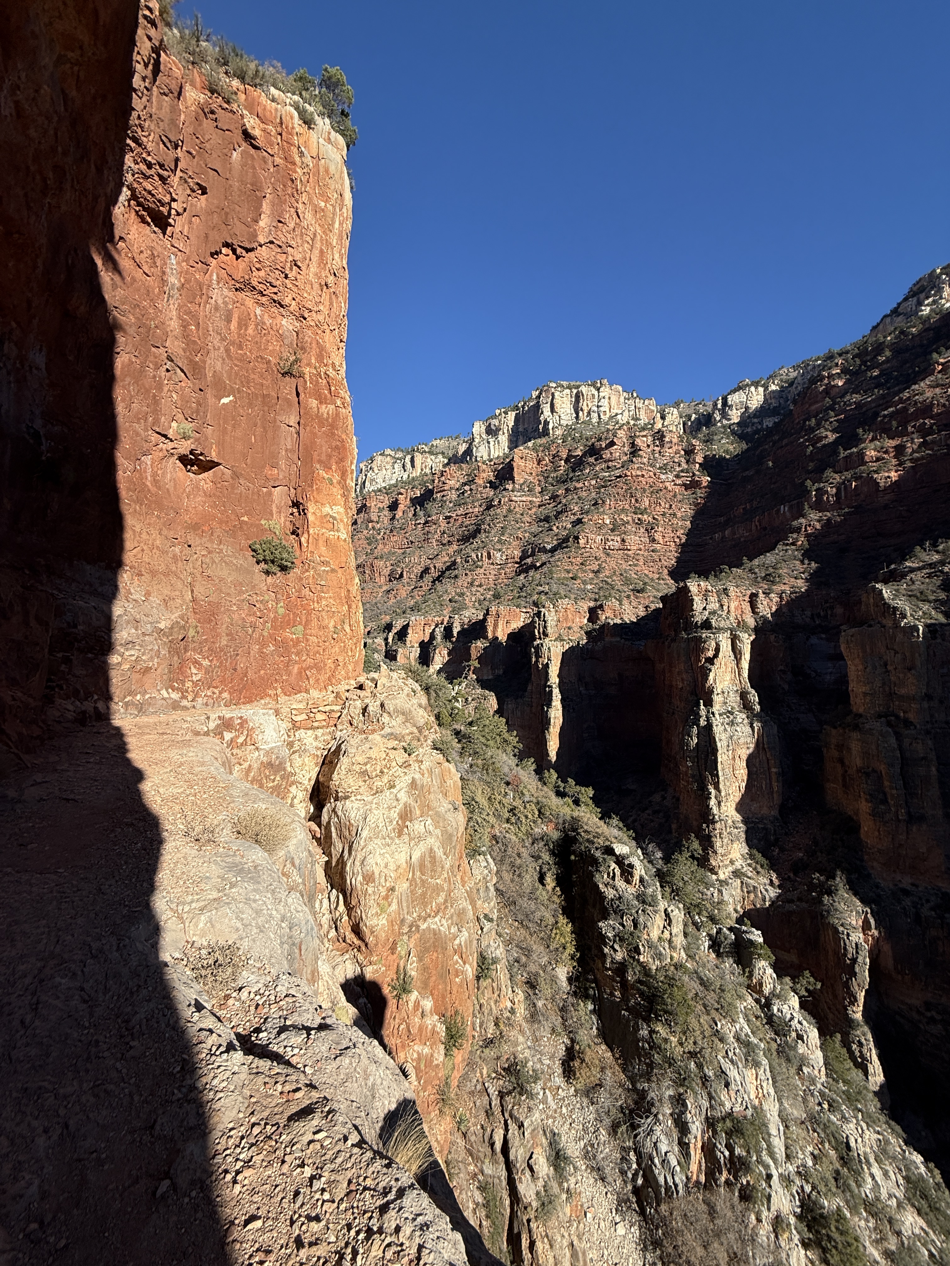
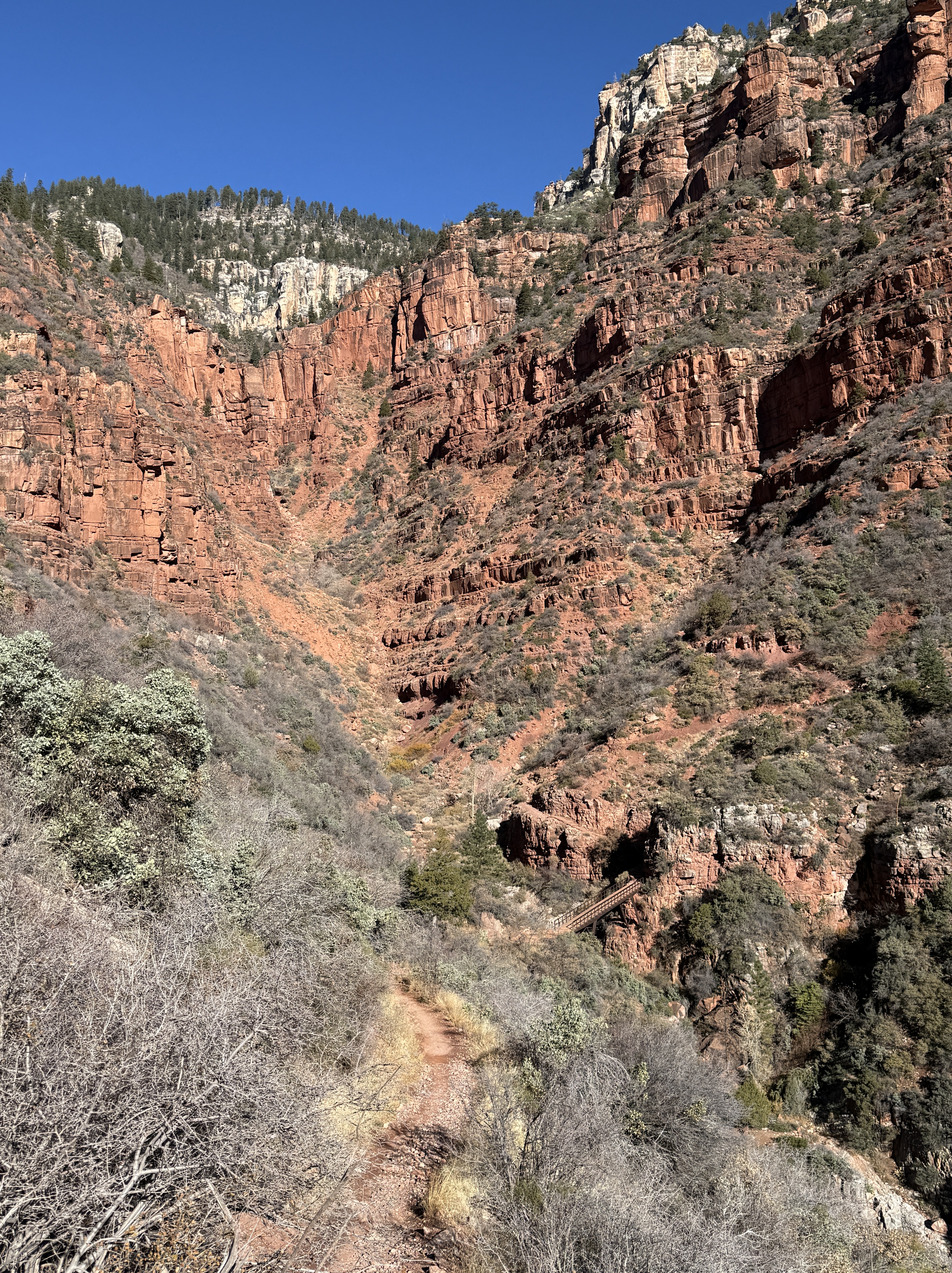
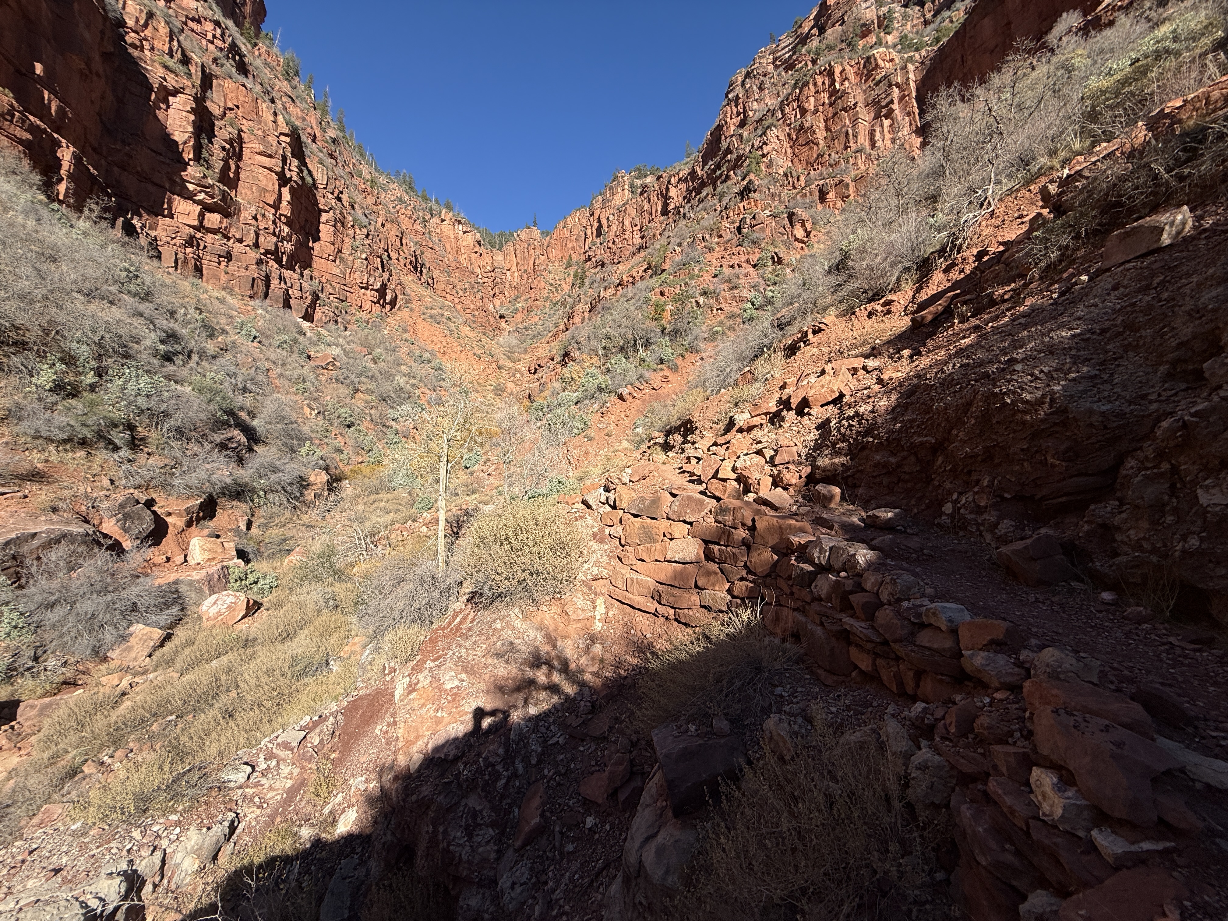
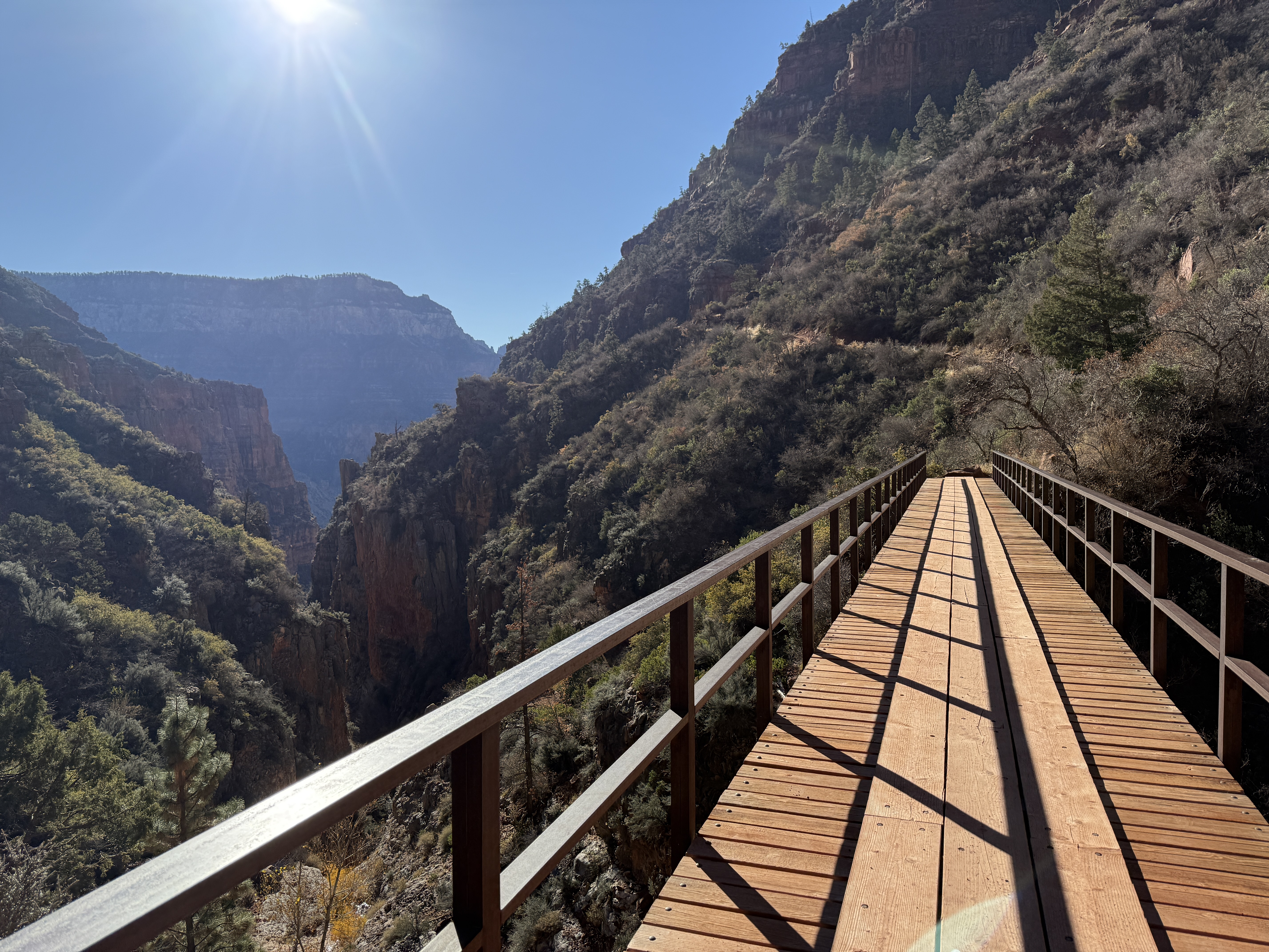
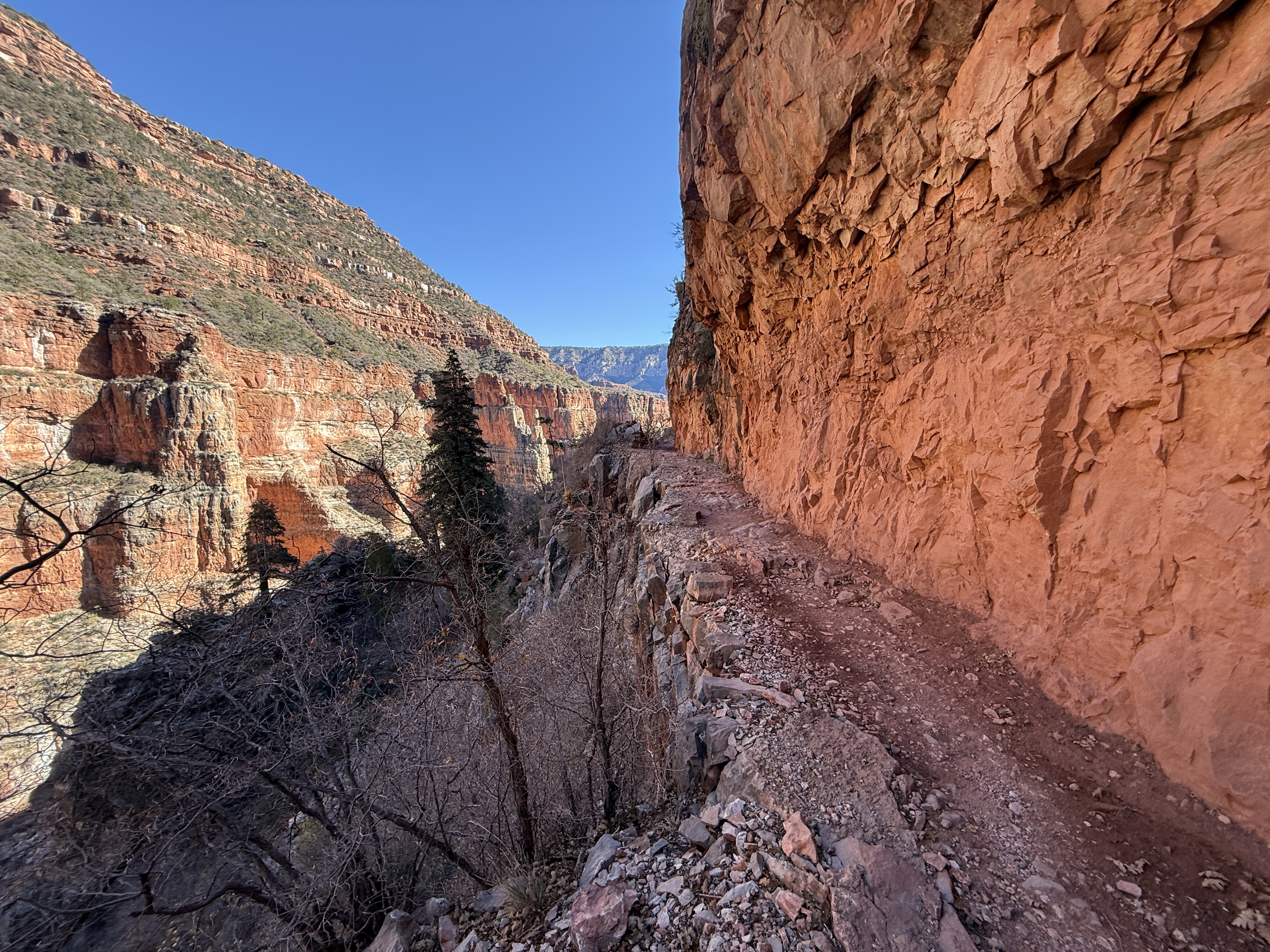
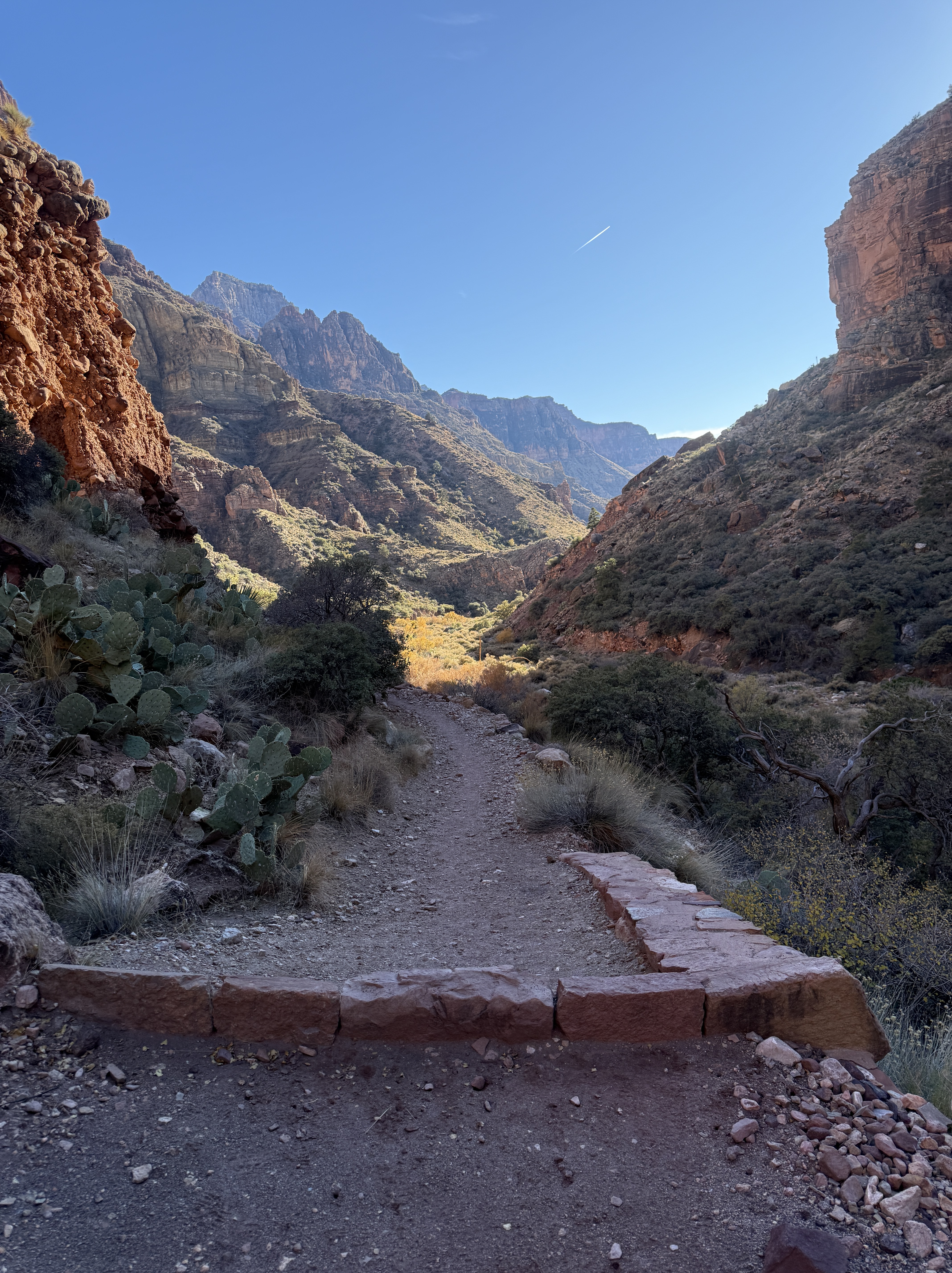
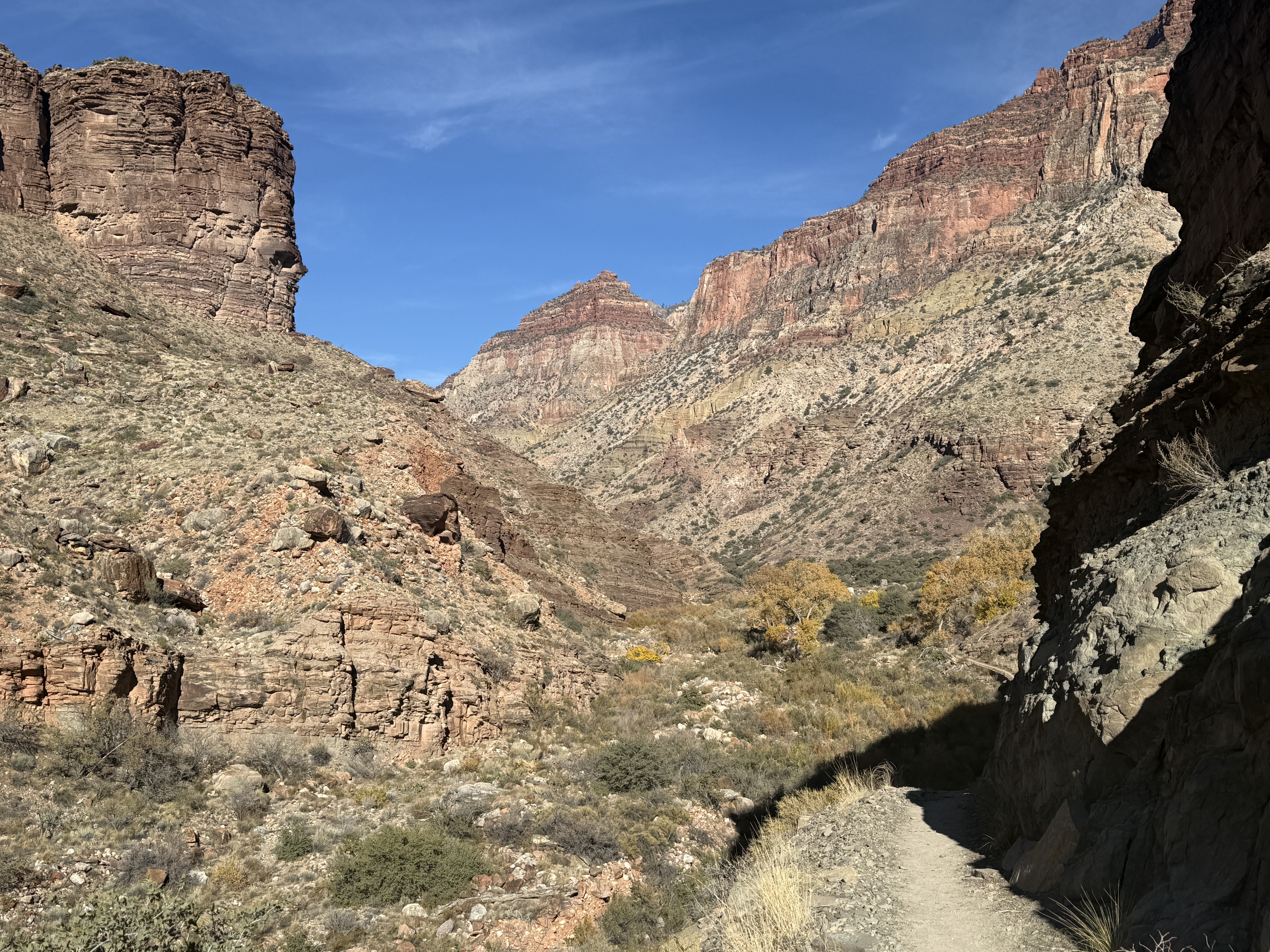
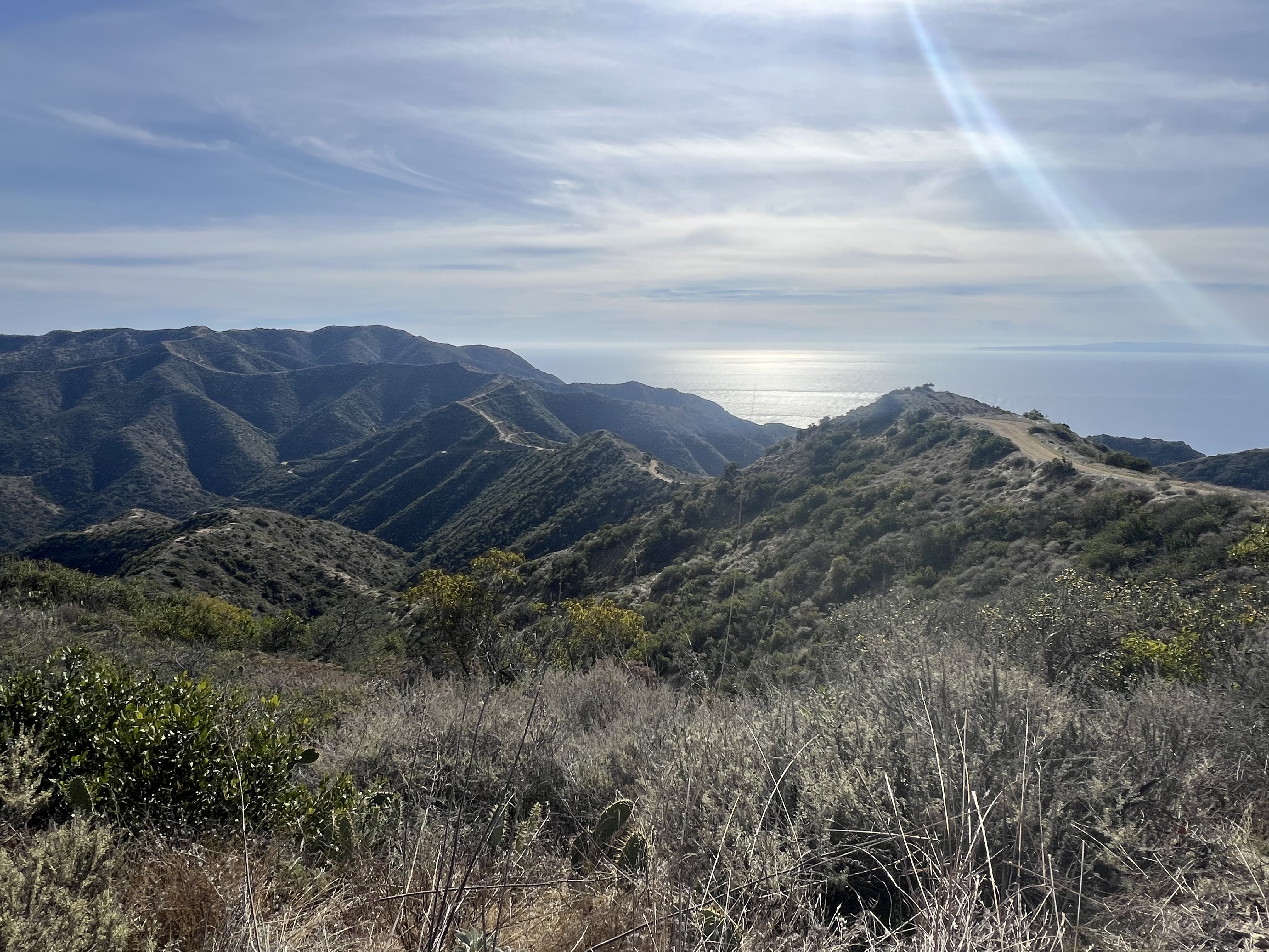
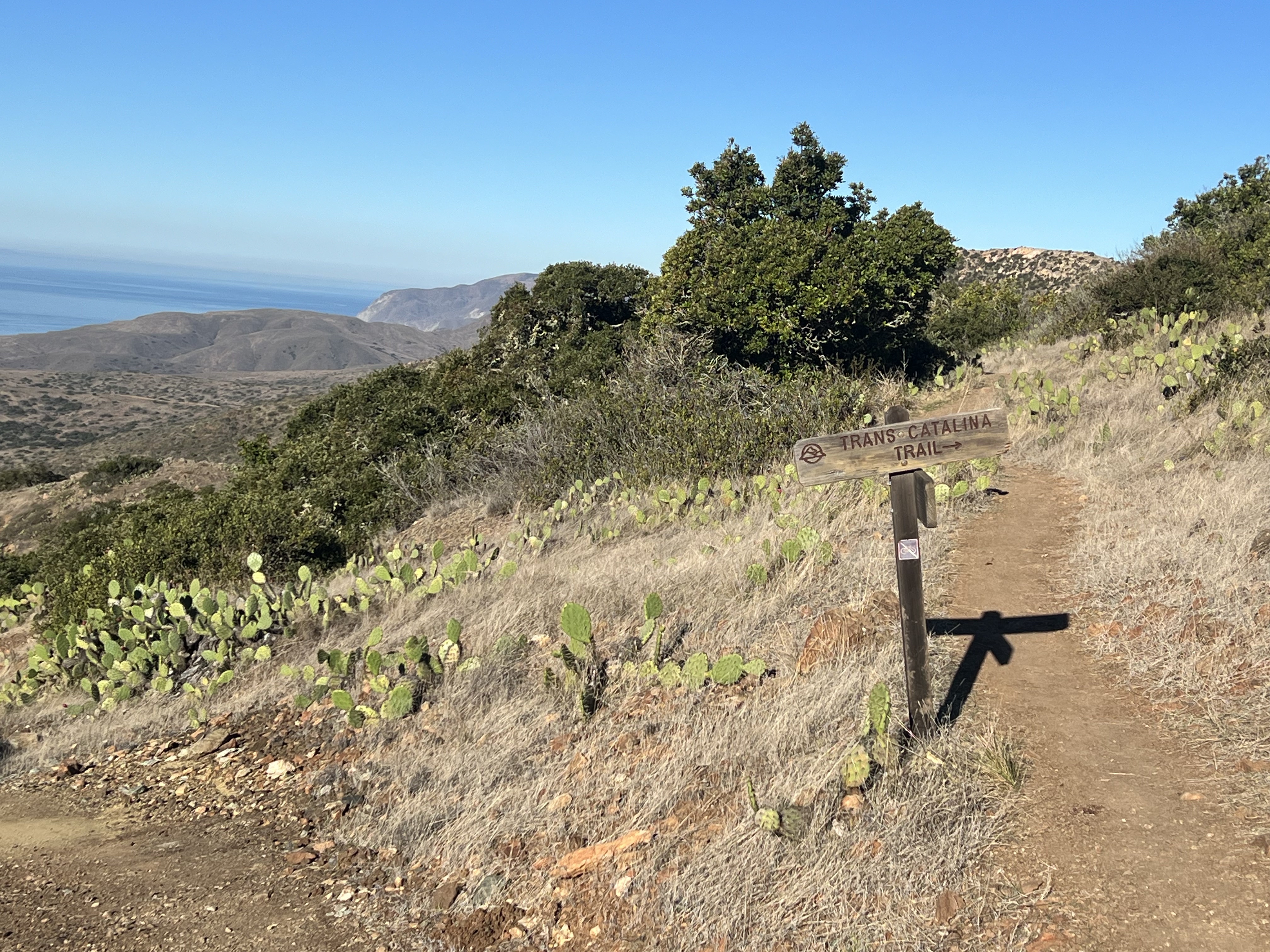
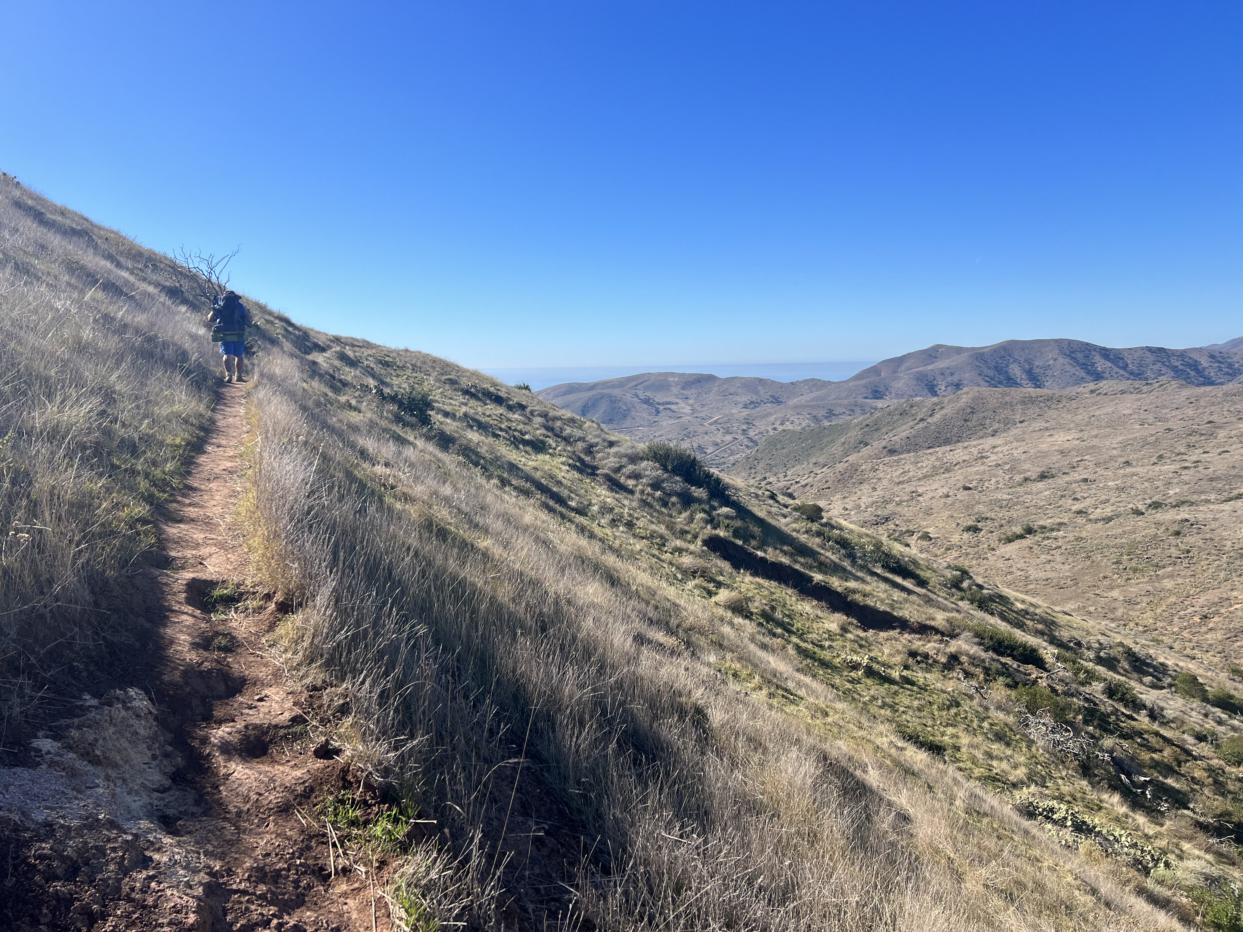
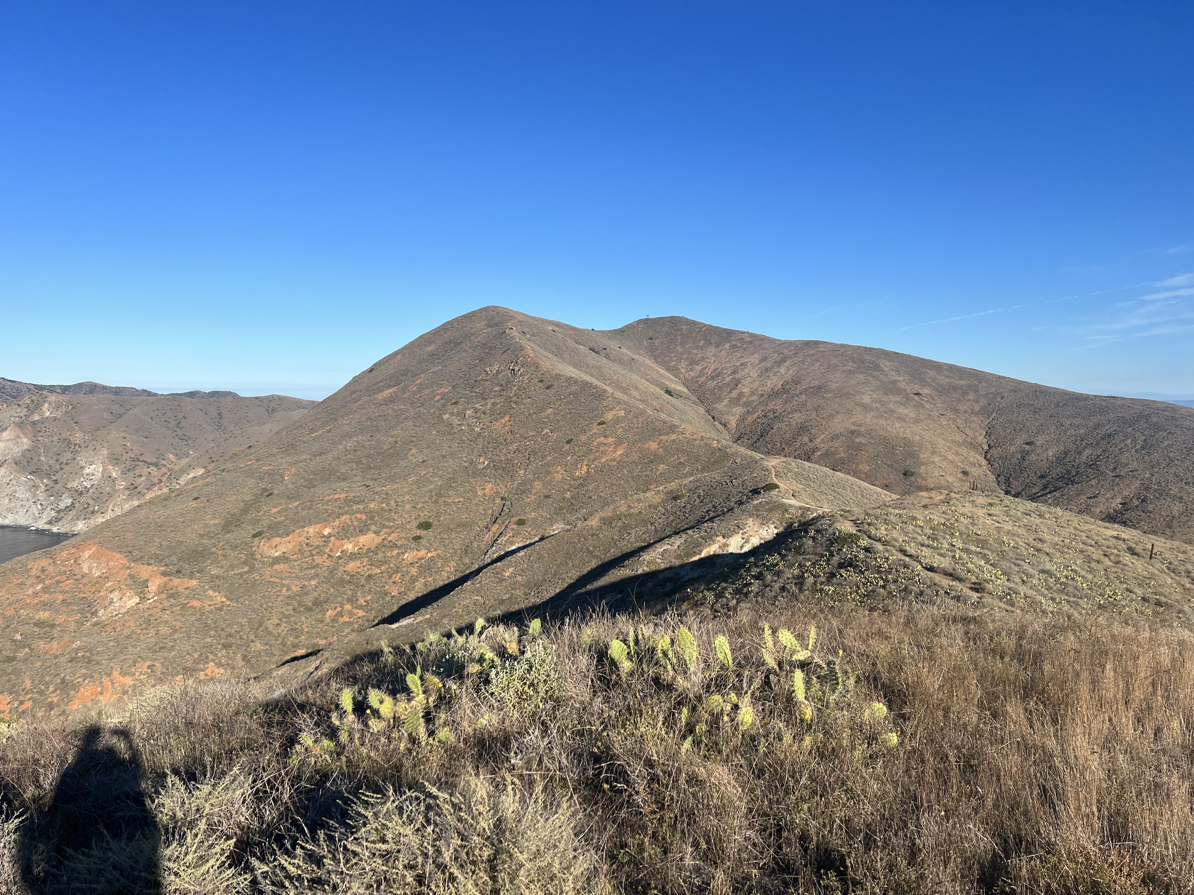
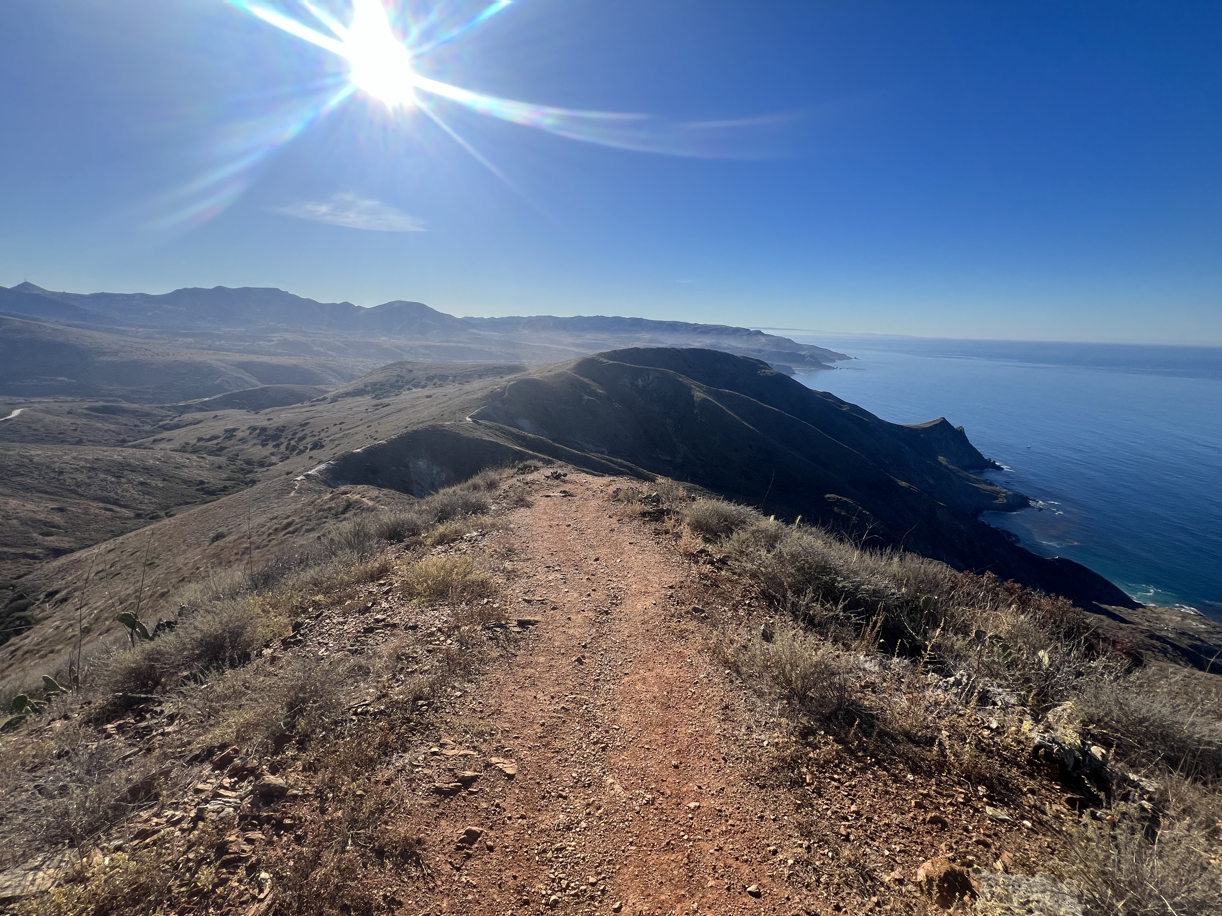
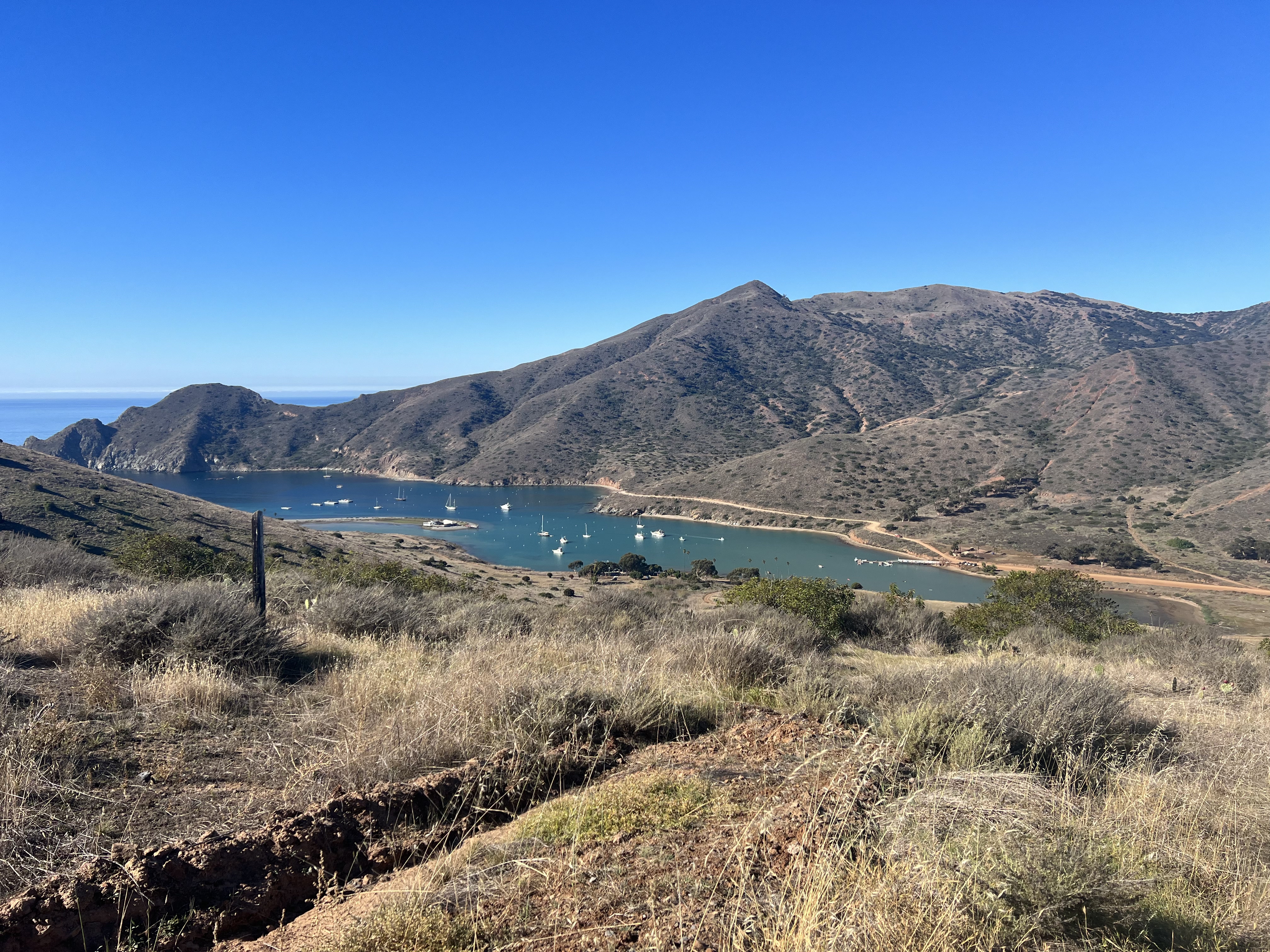
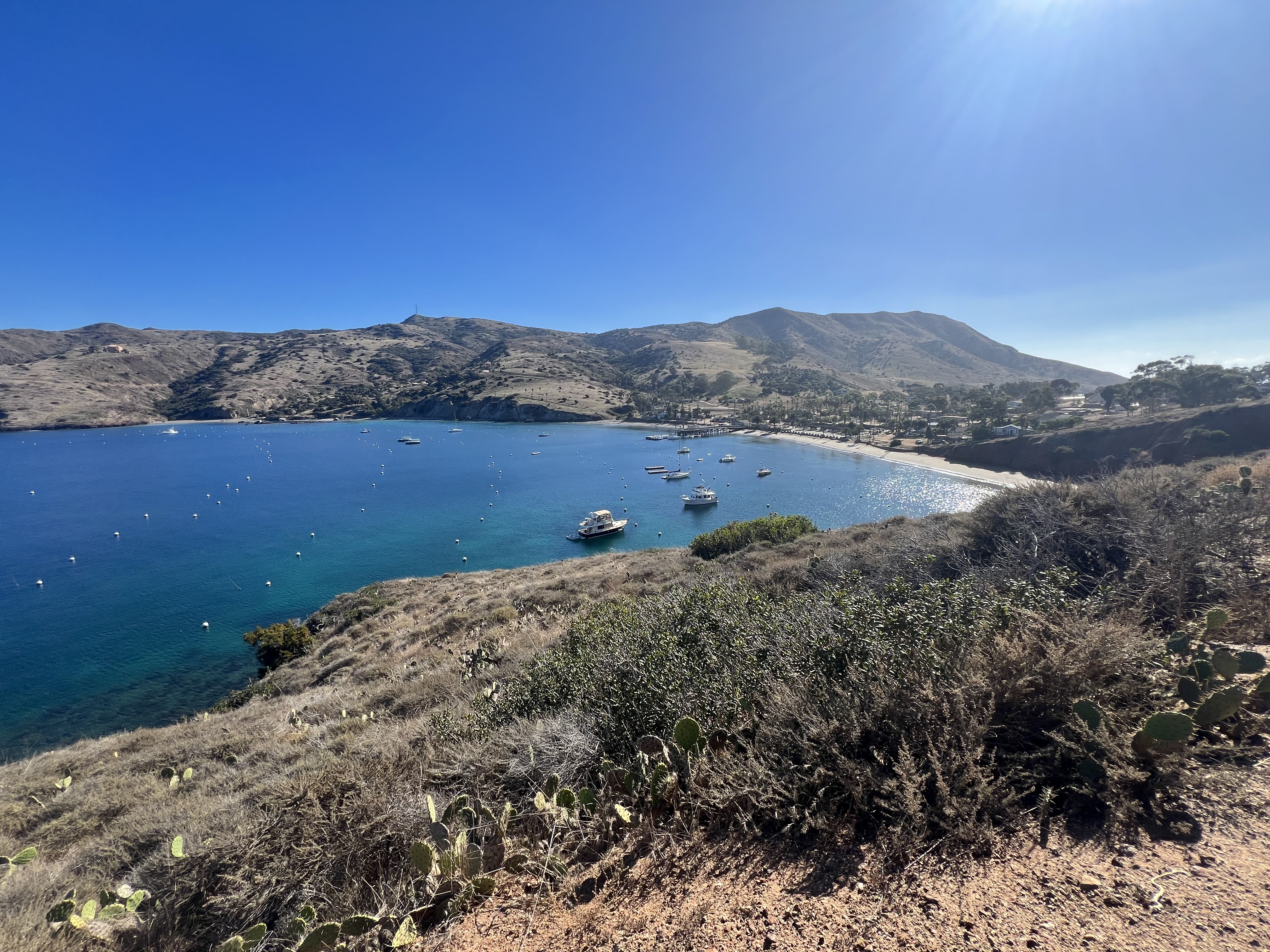
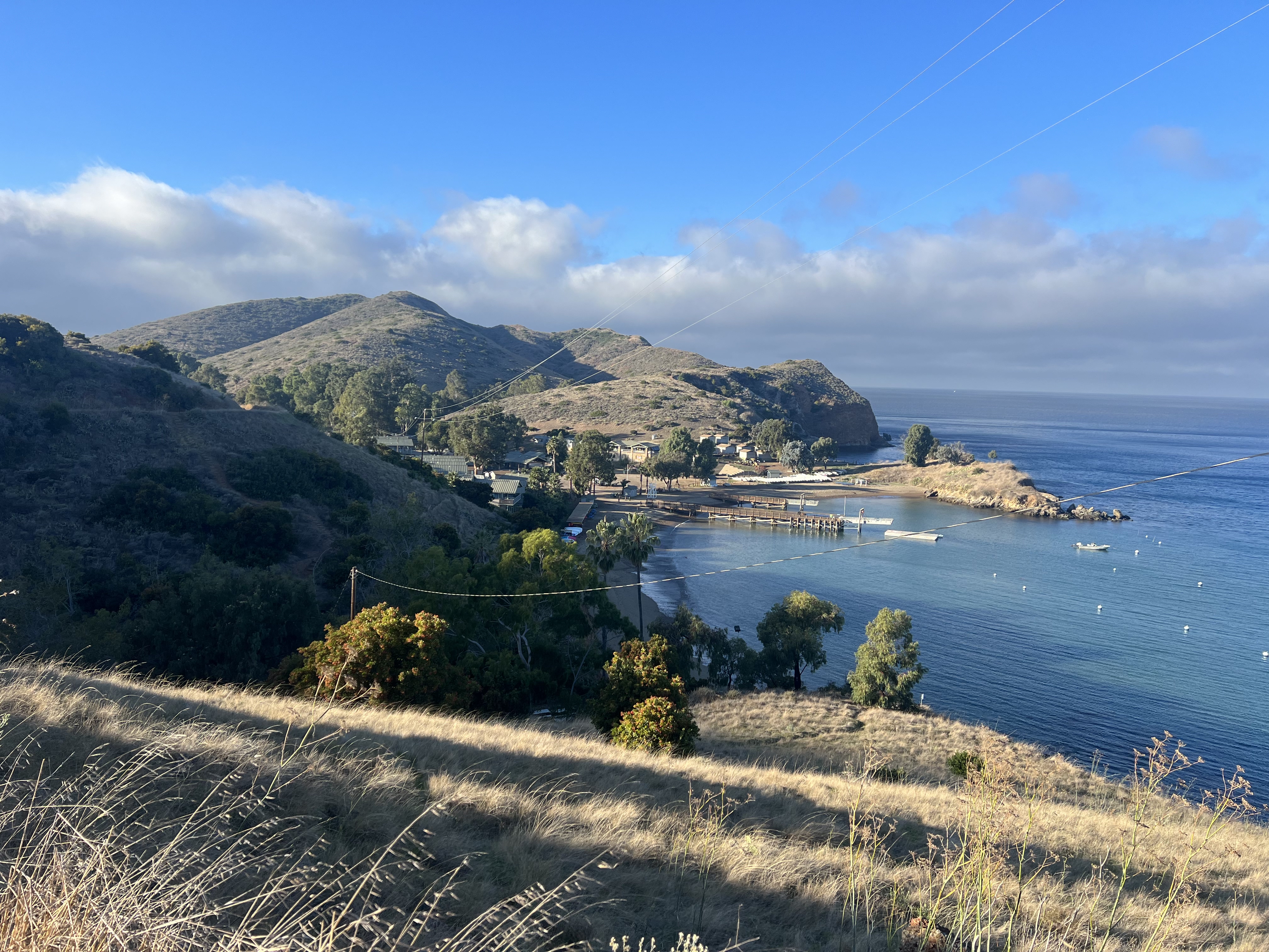
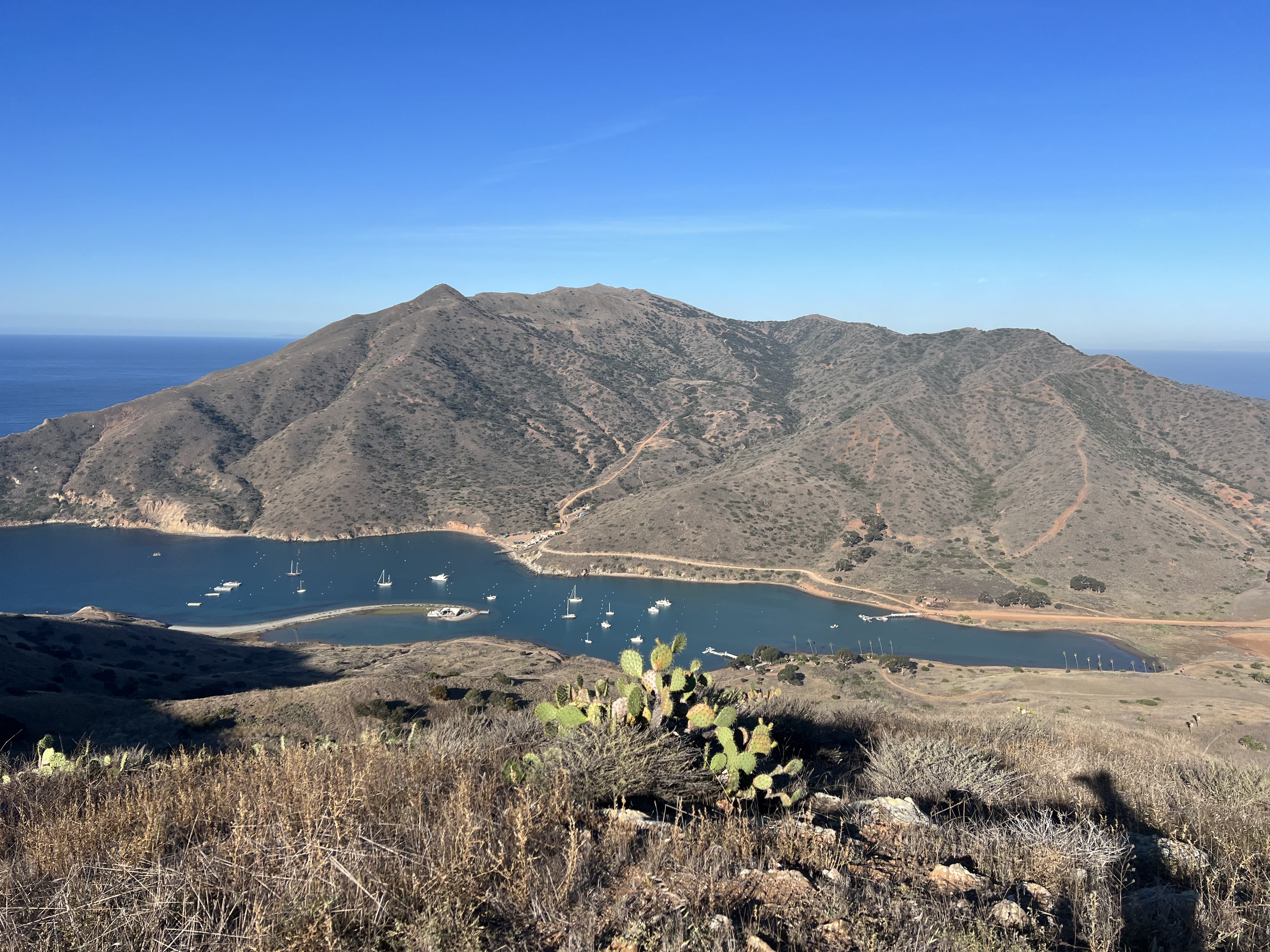
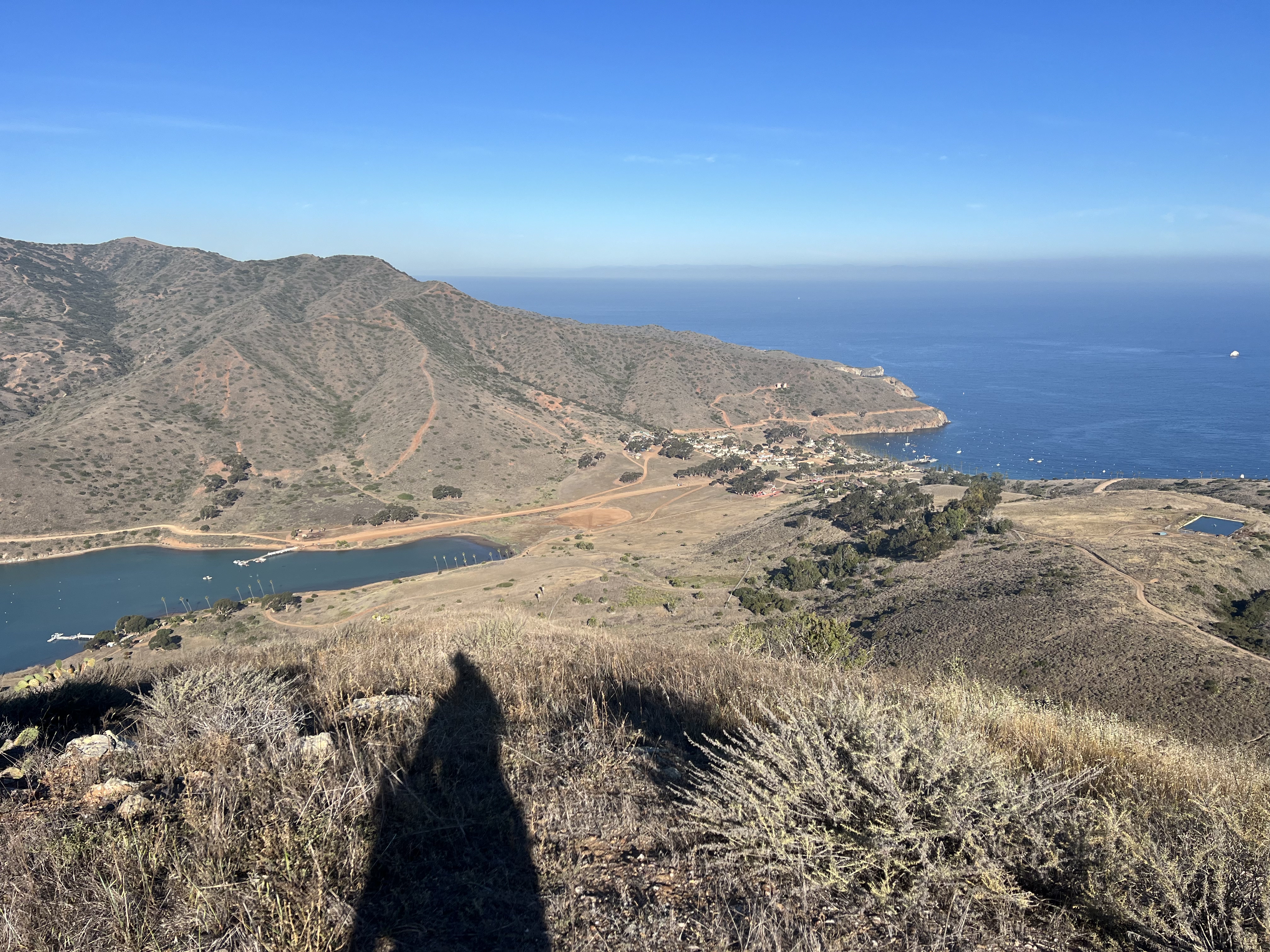
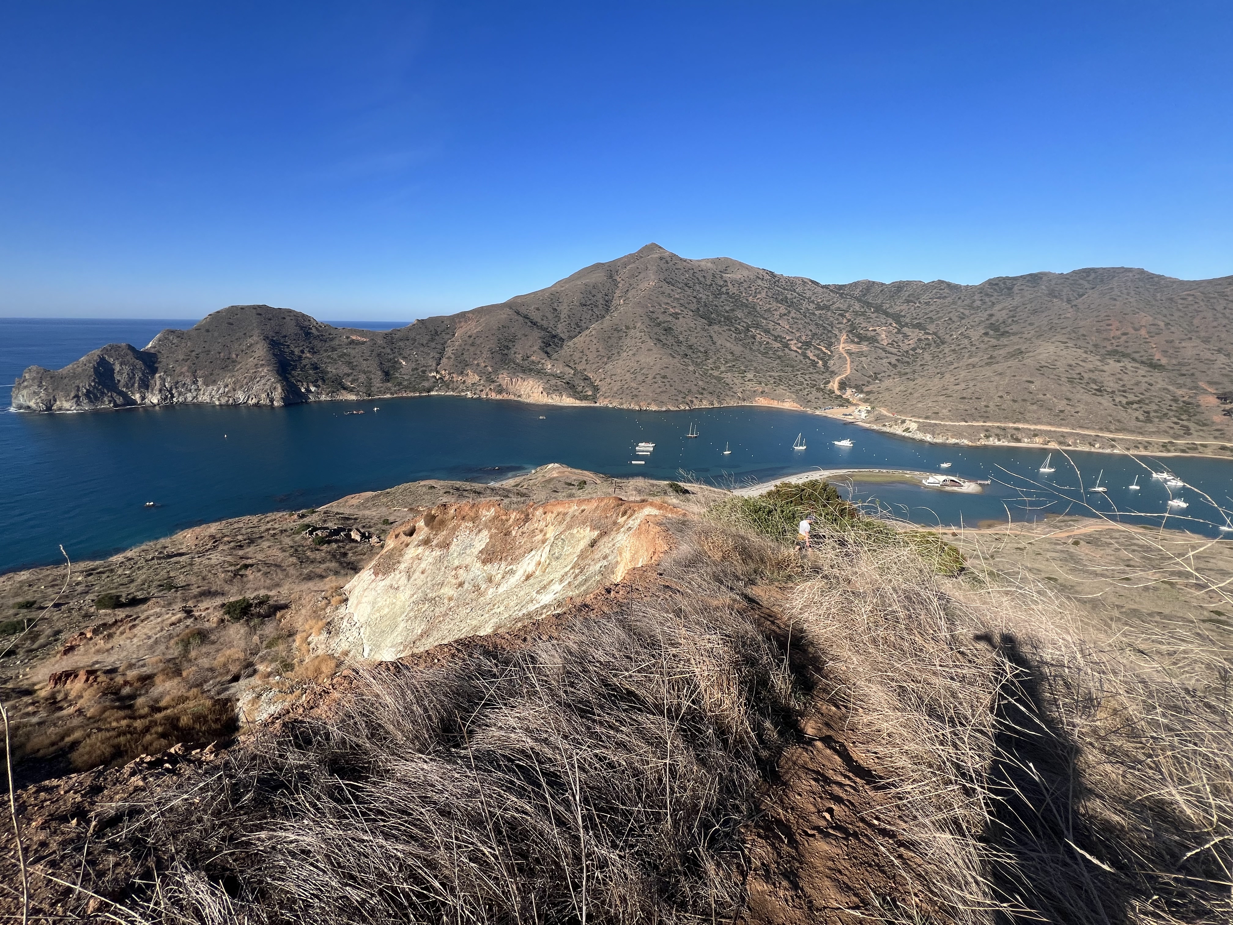
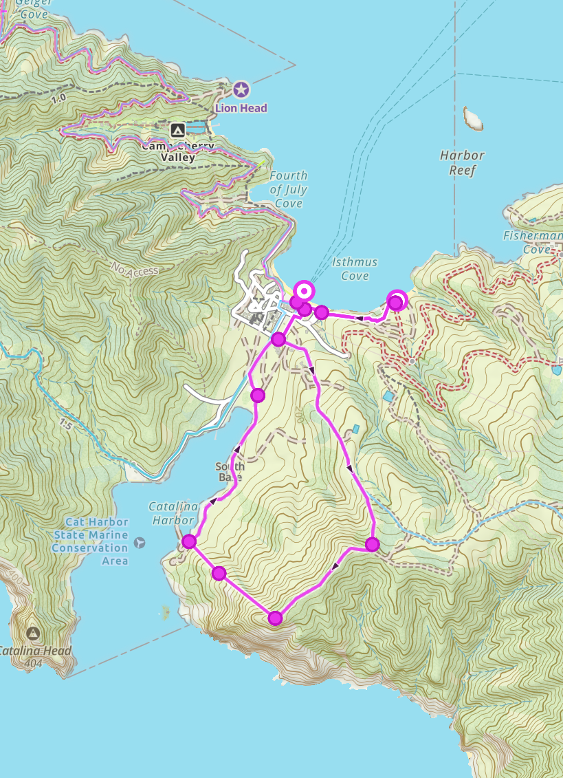
We were on the move by 7am, sad to leave this gorgeous beachfront property, but excited for our longest day of the trip, a 14 mile walk to Parson’s Landing. By all accounts, Parson’s is the nicest camp on the entire TCT, but I thought it would be hard to beat Little Harbor. We would get a nice, late morning, break in Two Harbors, just 5 miles north. The trail out of Little Harbor climbs gains 1500′ over the first 3 miles, before losing that same 1500′ over the almost 3 miles into Two Harbors.
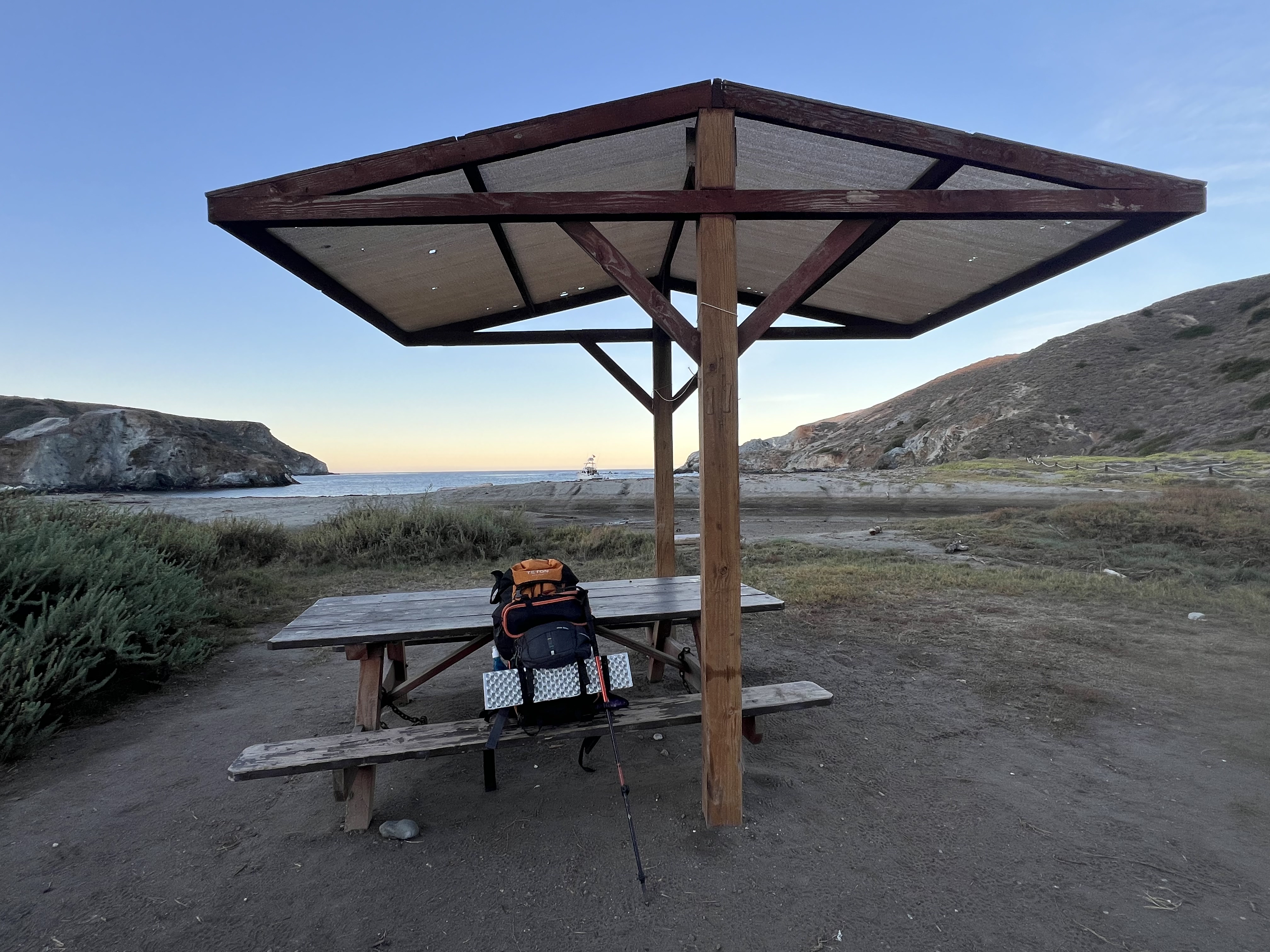

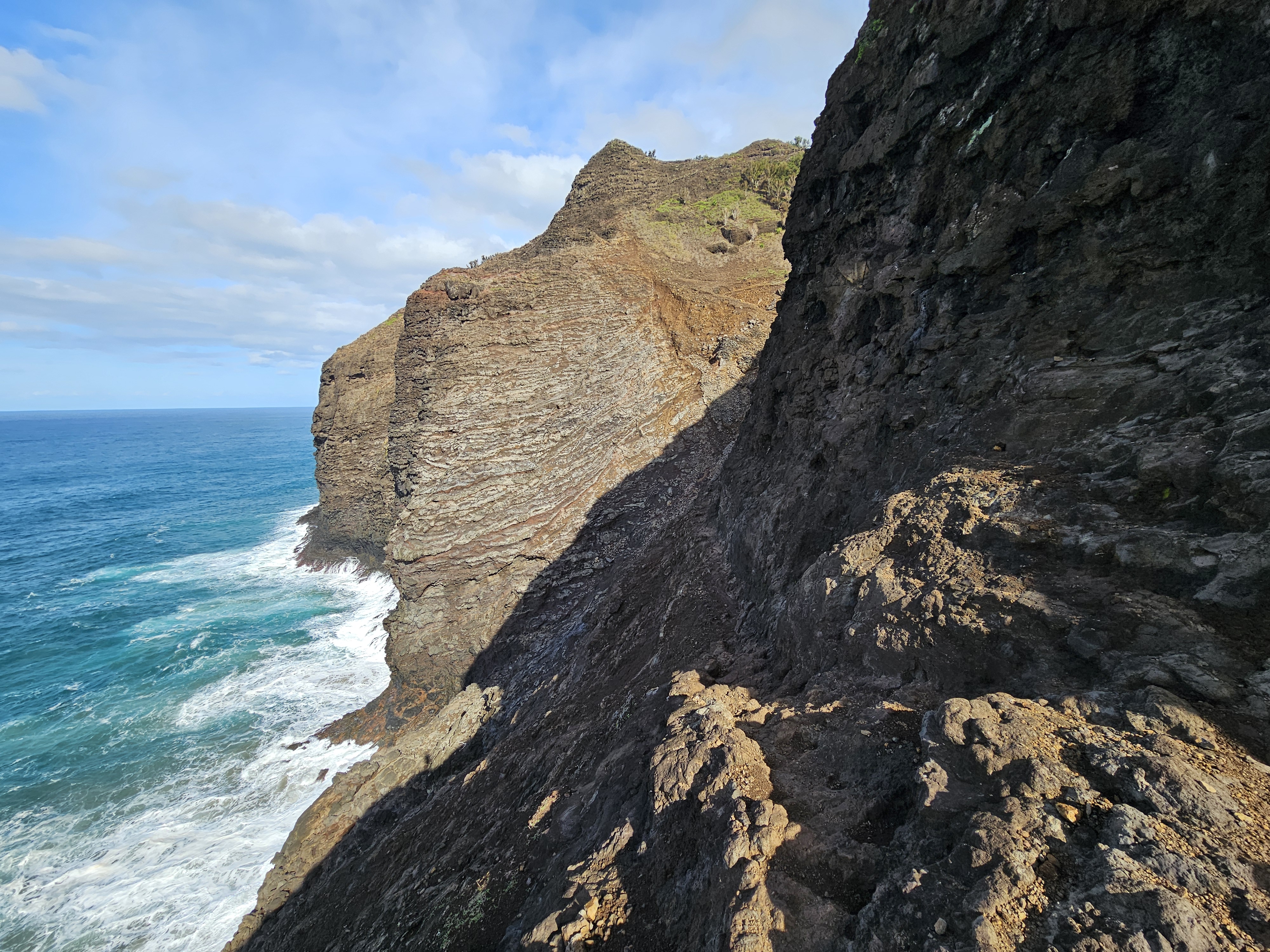
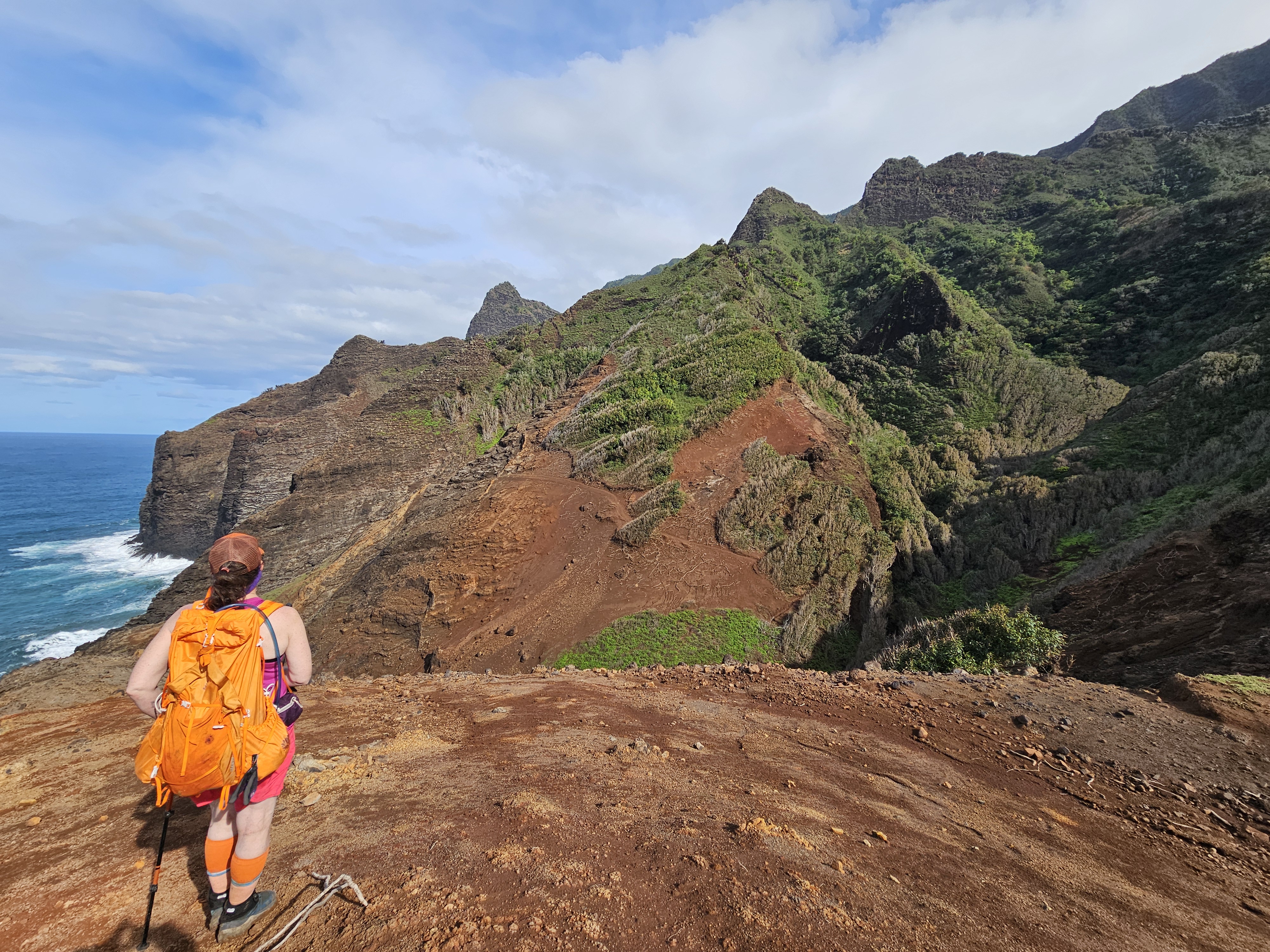
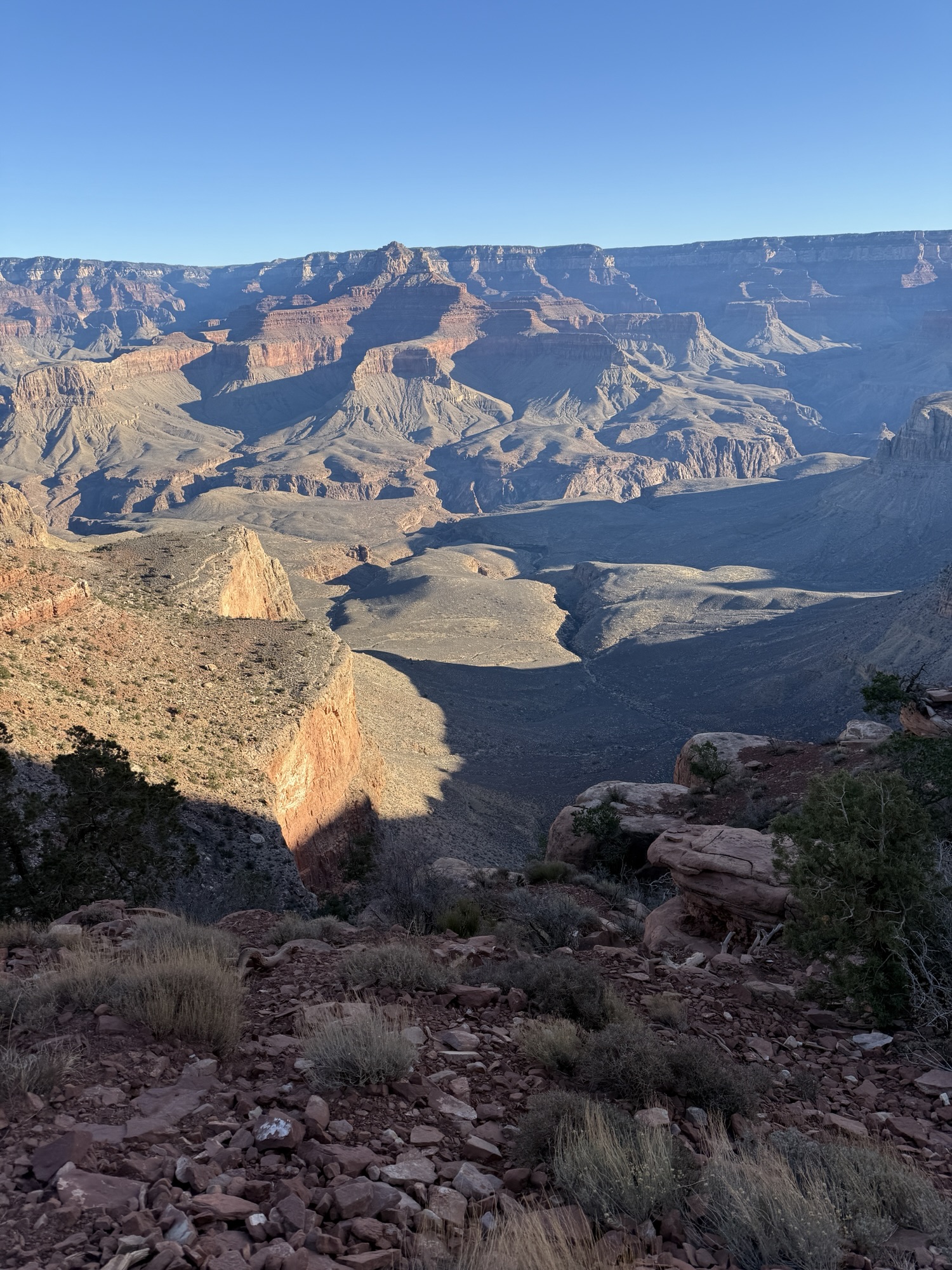
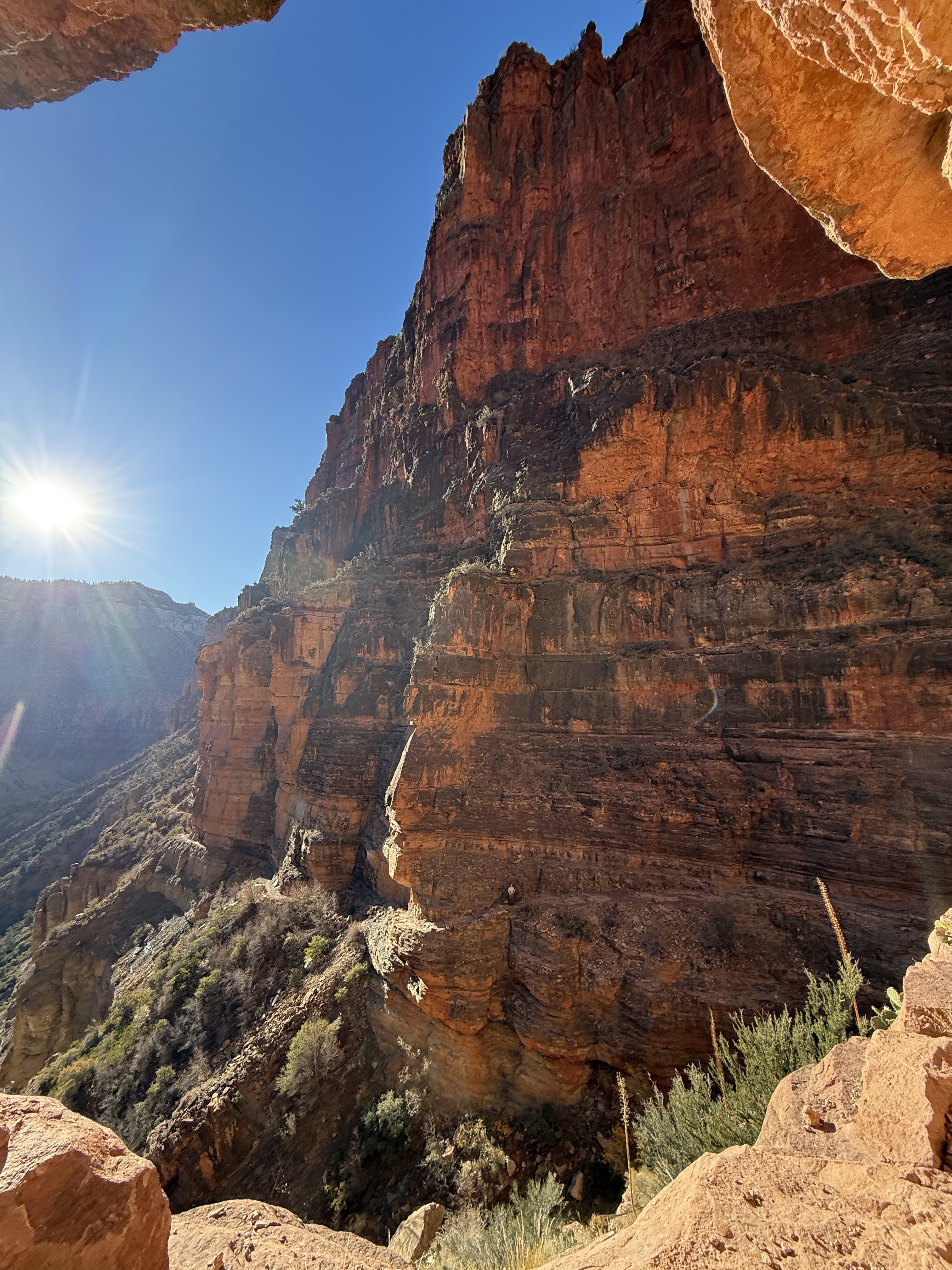
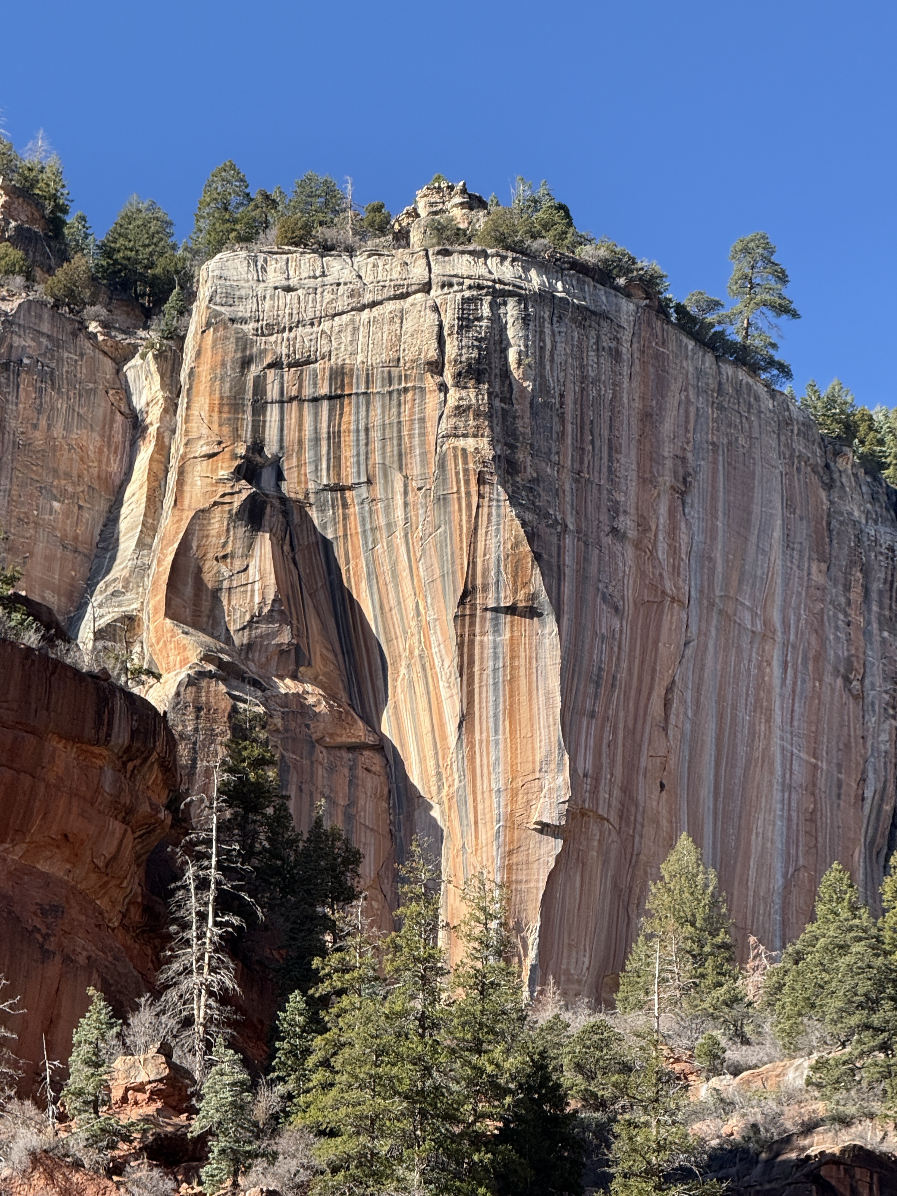
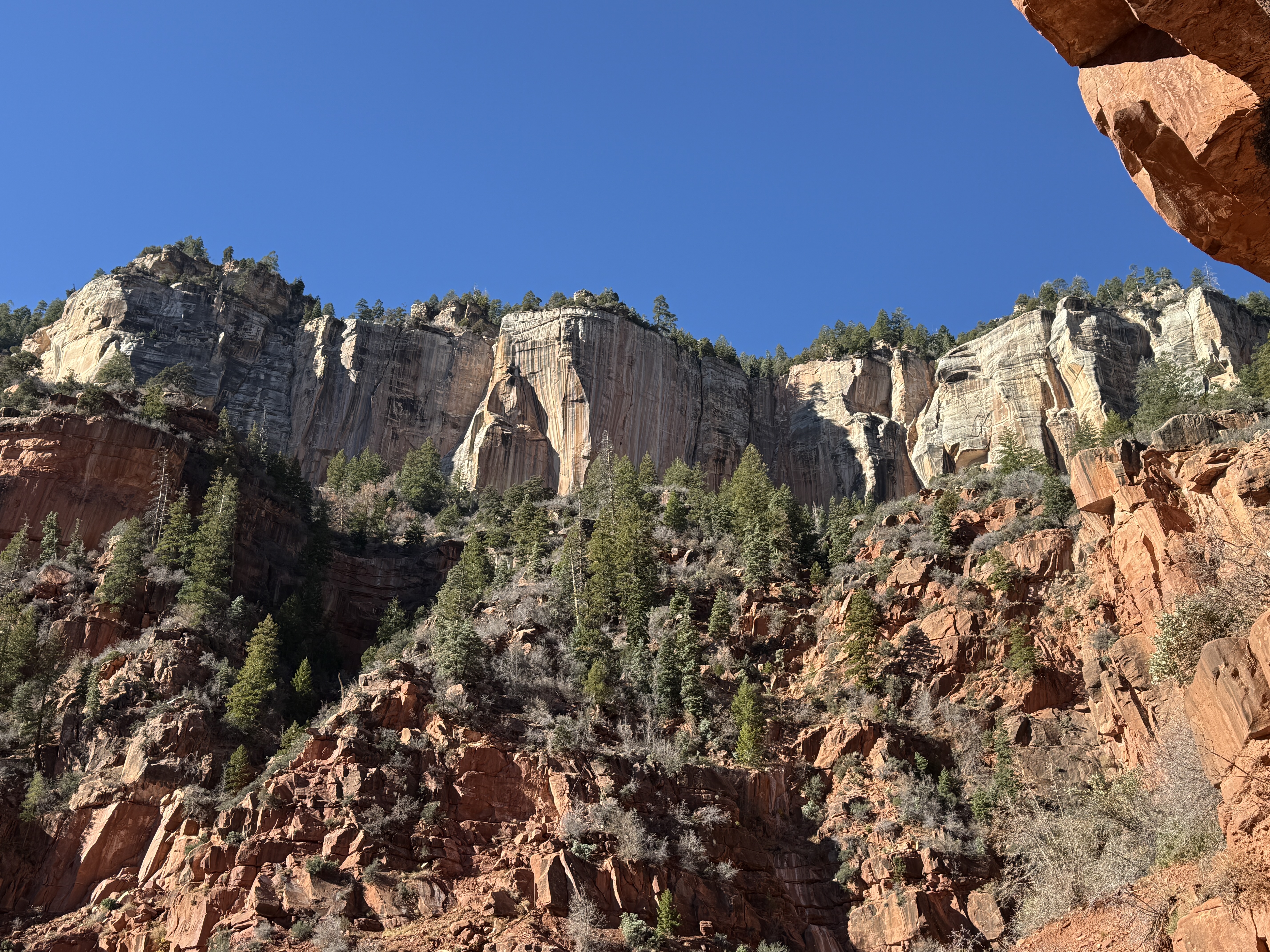
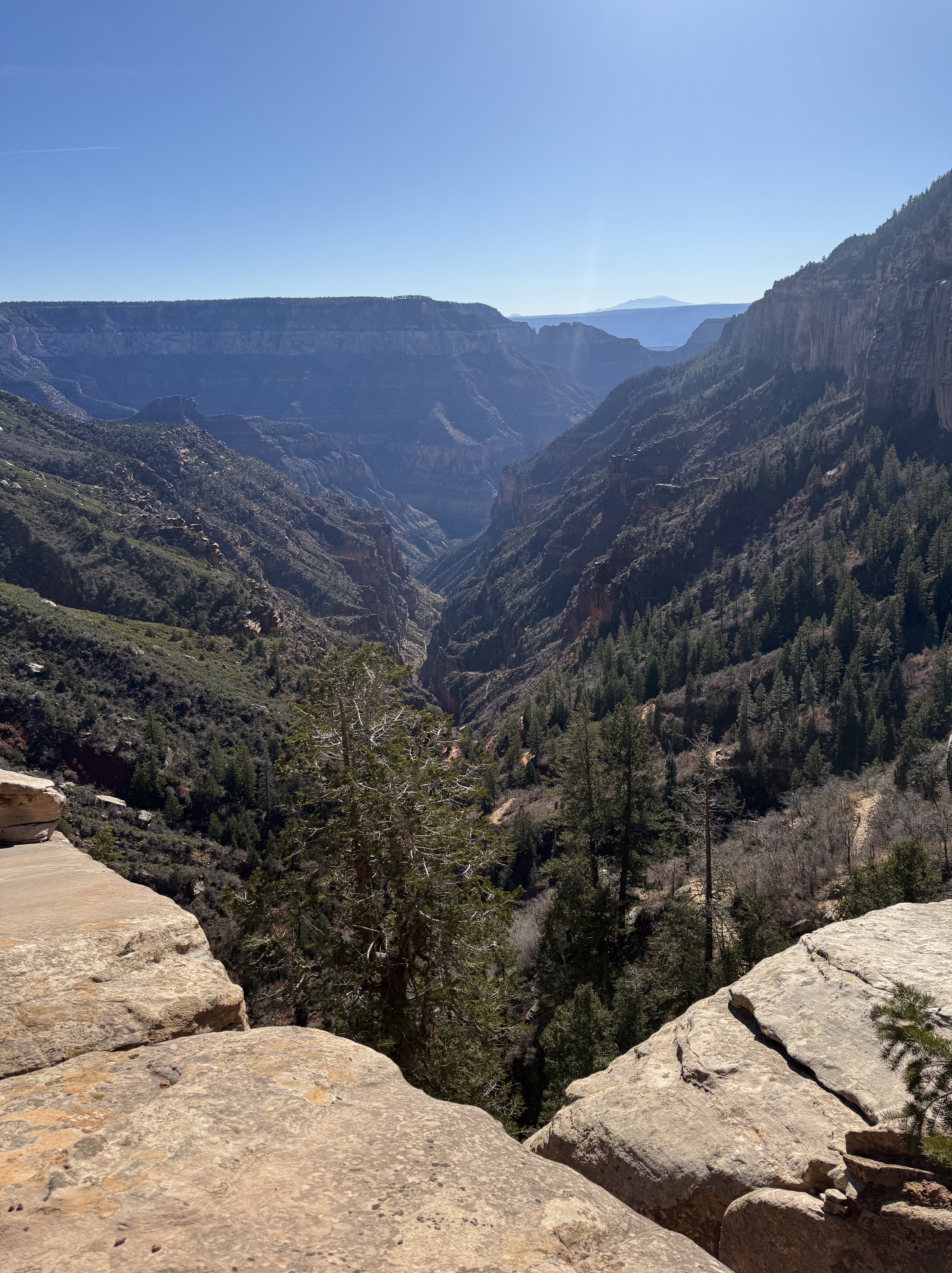
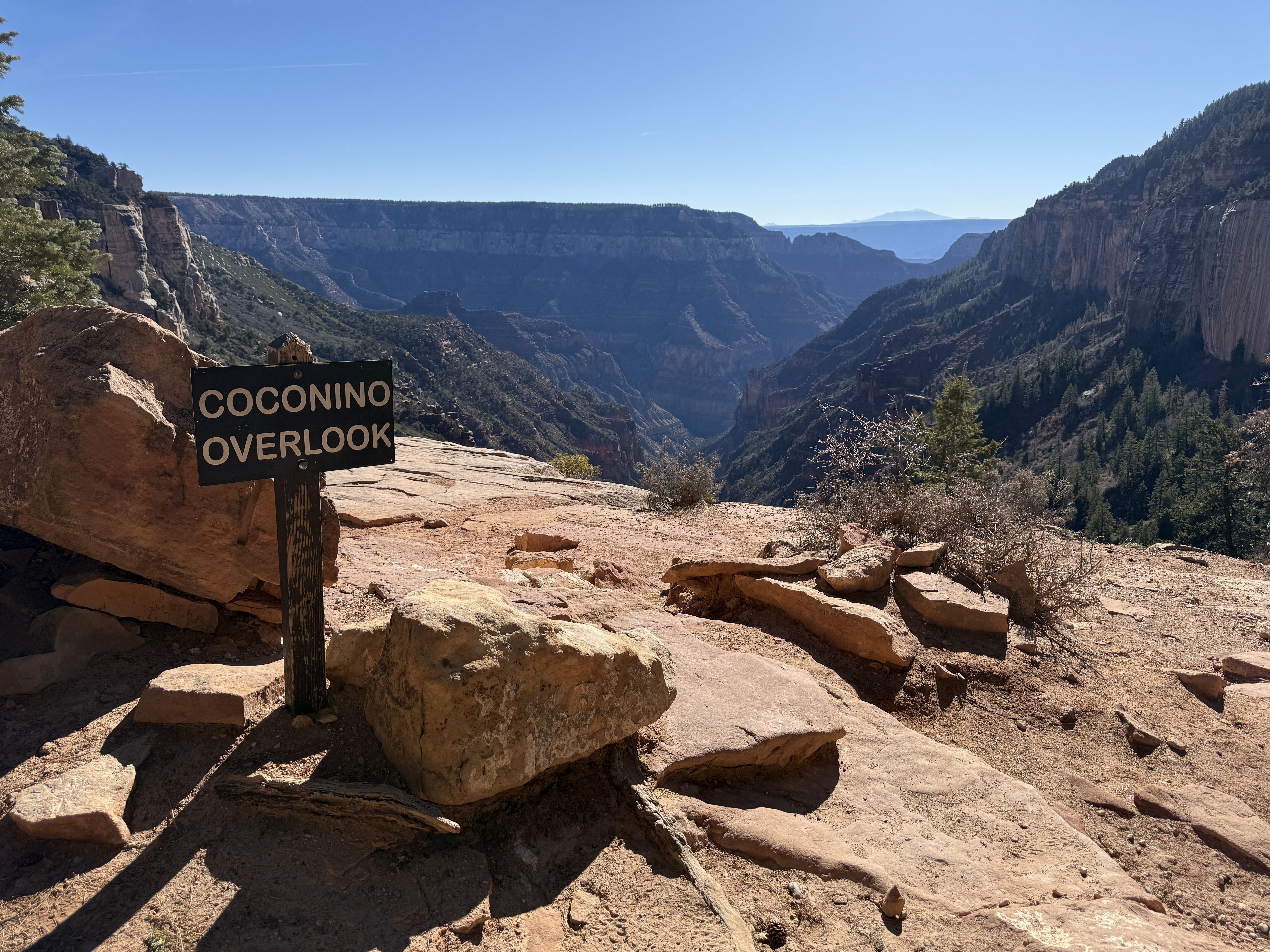
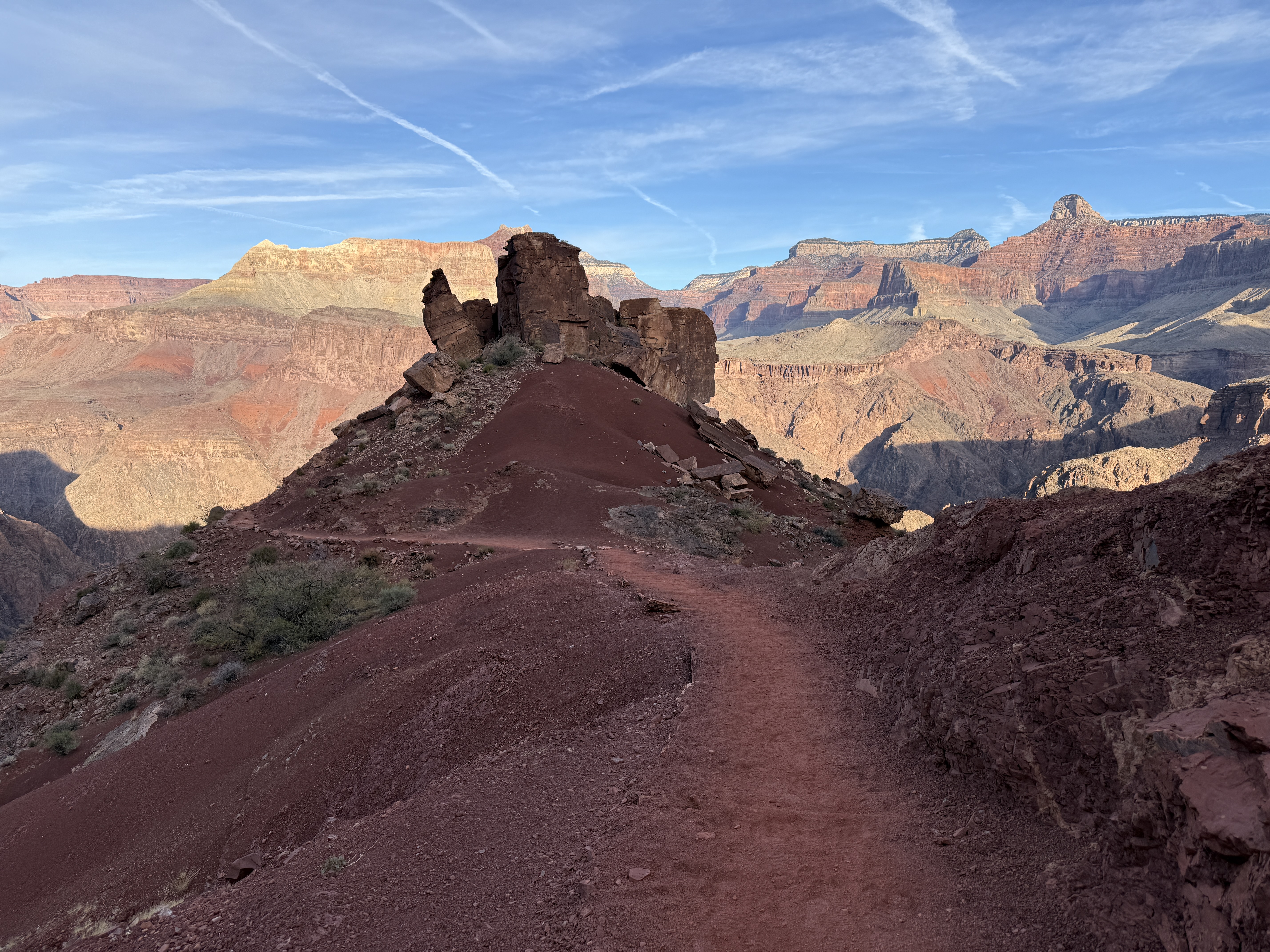
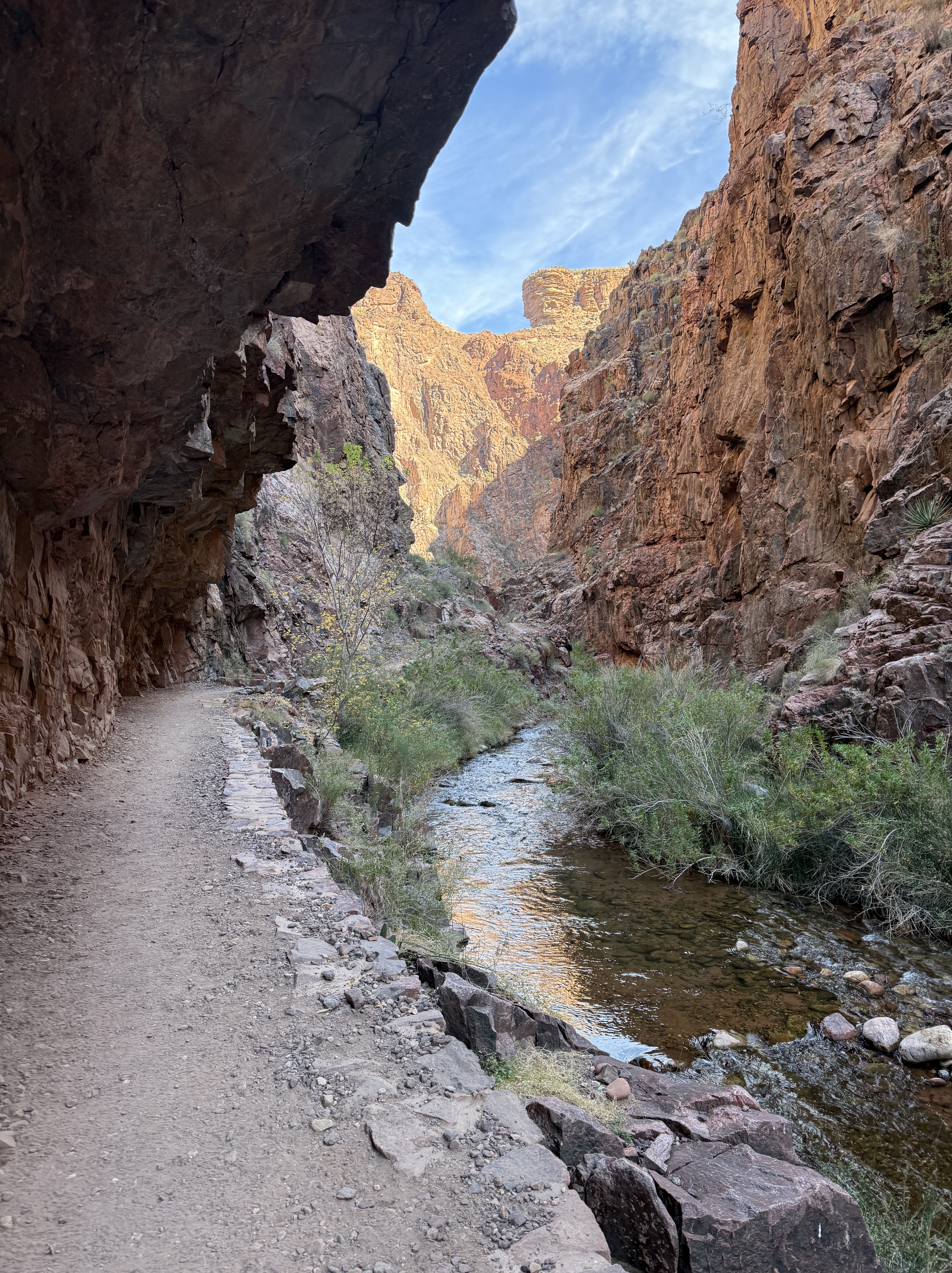
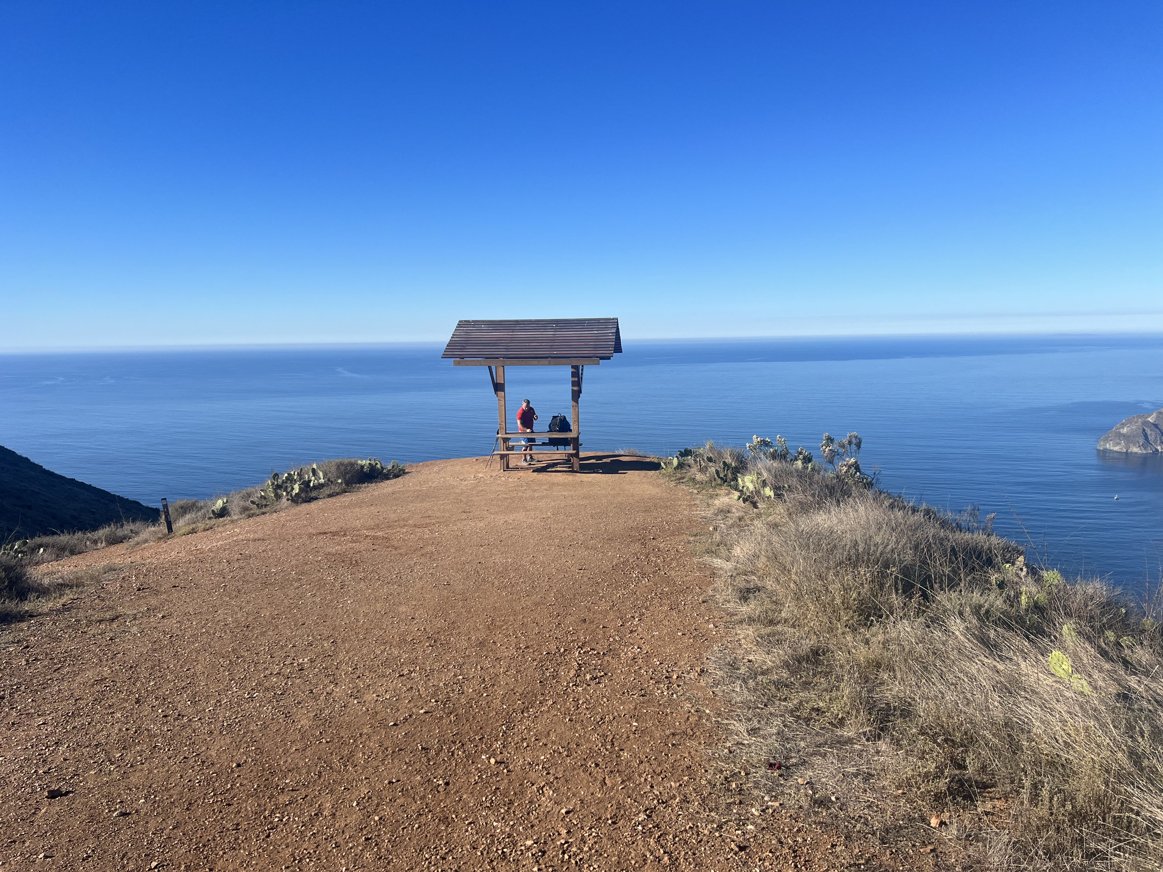
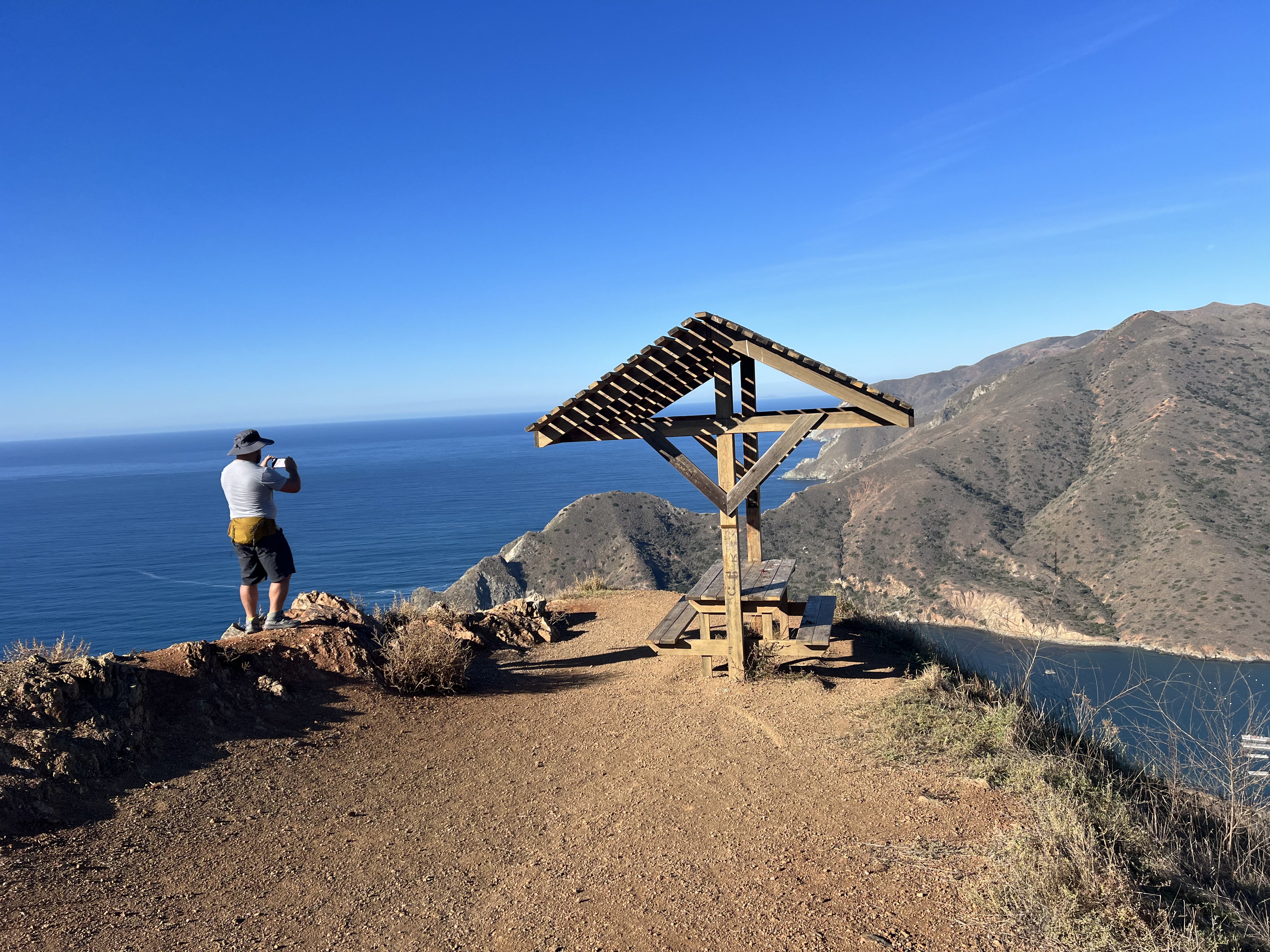
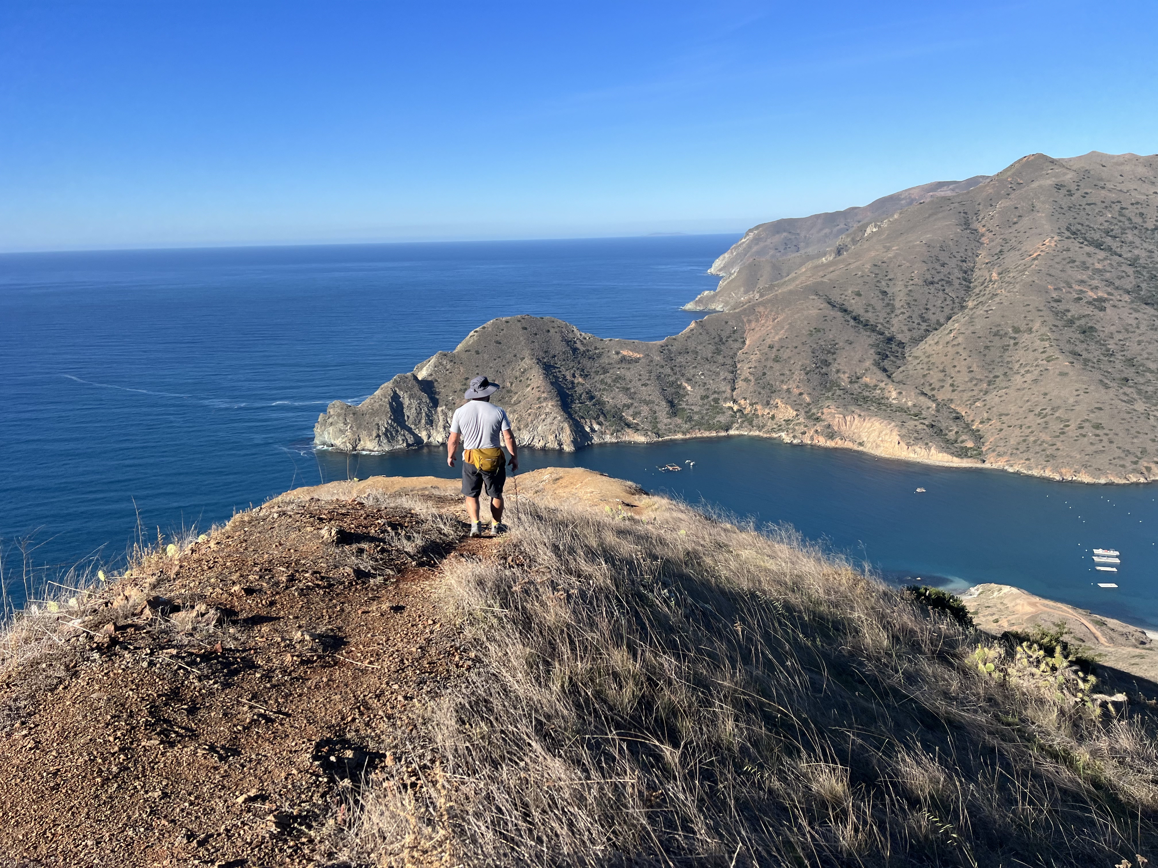
Climbing up along the coast, we got an amazing view of Little Harbor and the rocky shore of Shark Harbor, before turning north to ascend the ridge. A small, covered picnic table (common to see at TCT viewpoints) welcomed us to the high point of the ridge at just over 1,200.’ We now had a full view of the north section of the island, split from the south by a narrow isthmus that literally separated two harbors. I looked back to the south and noticed a distinct difference in terrain, the south having more rolling hills, the north looking rugged with its intertwining ridges and lack of lowland.
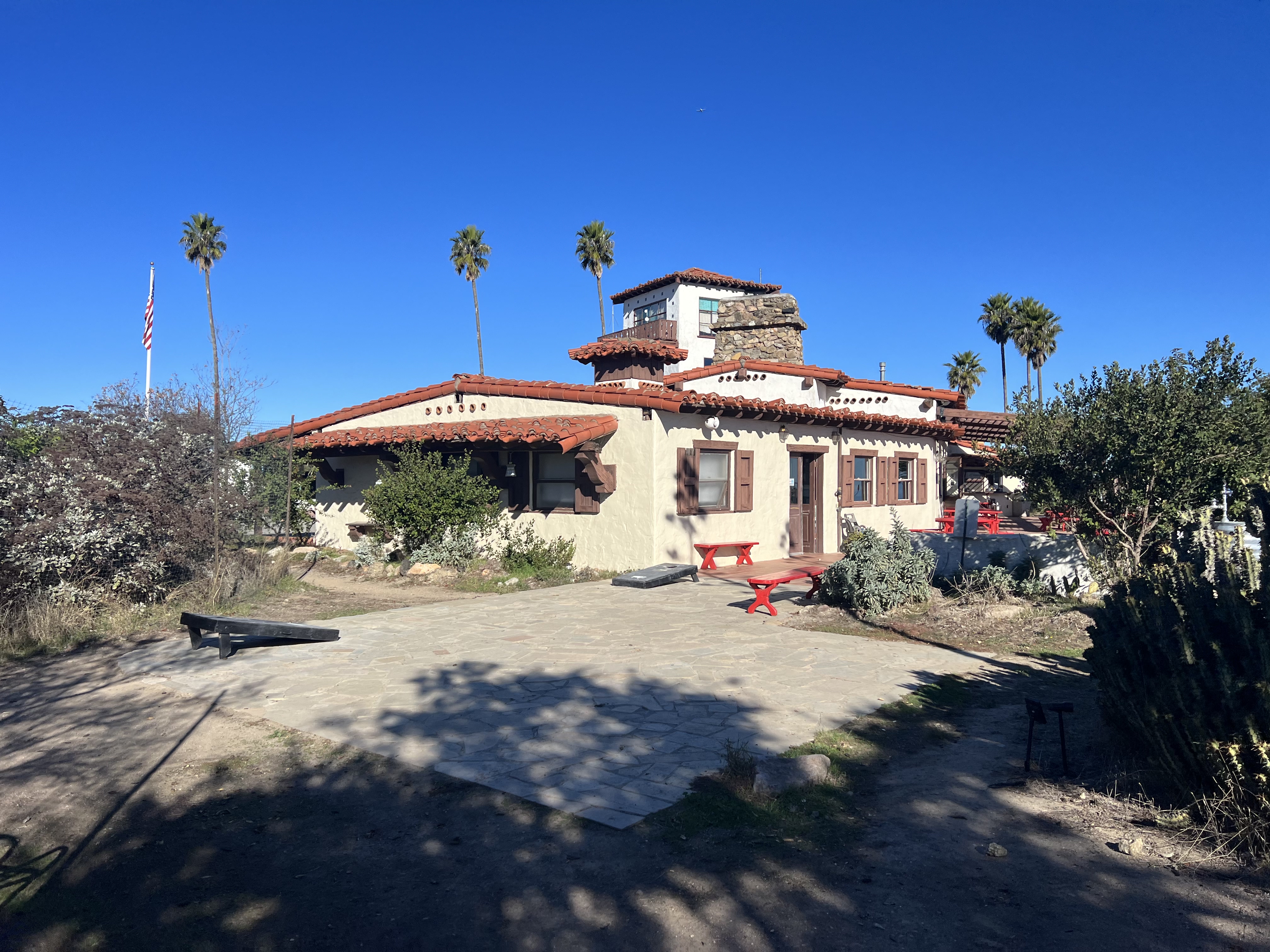
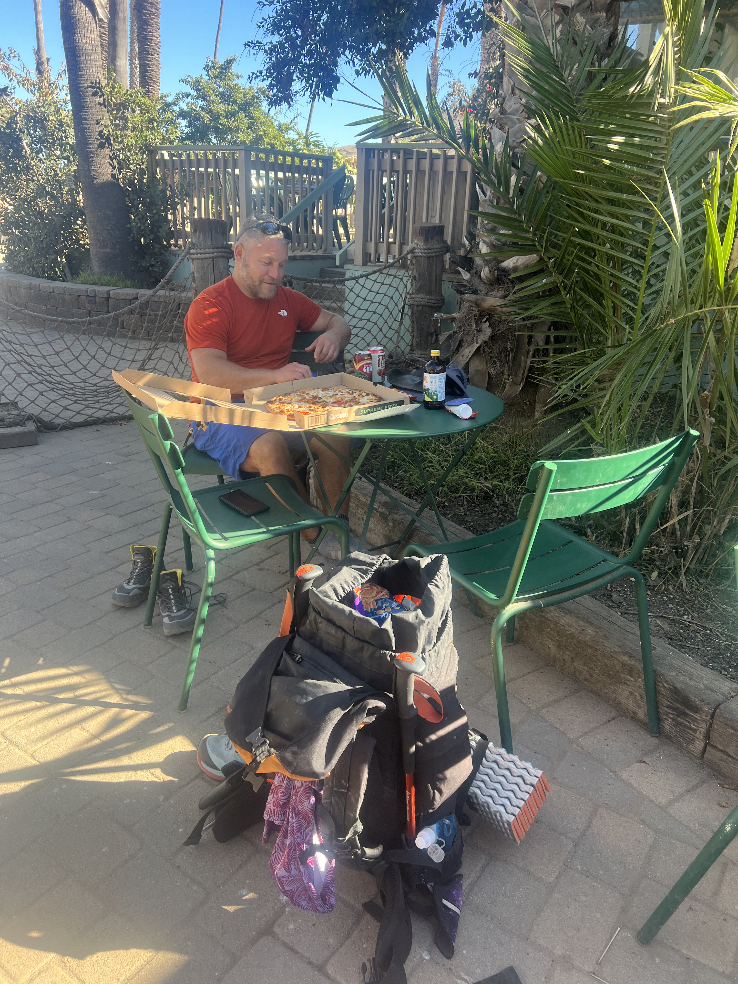
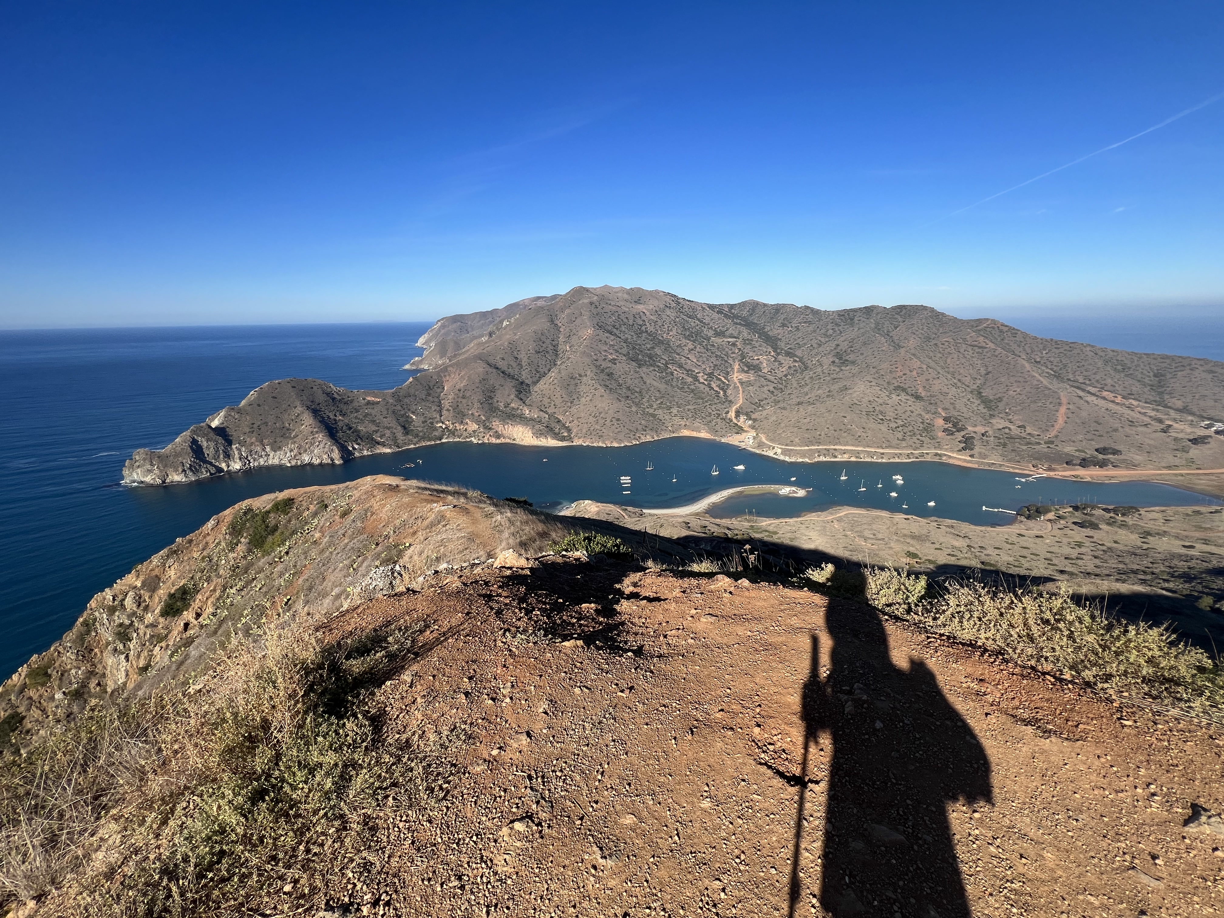
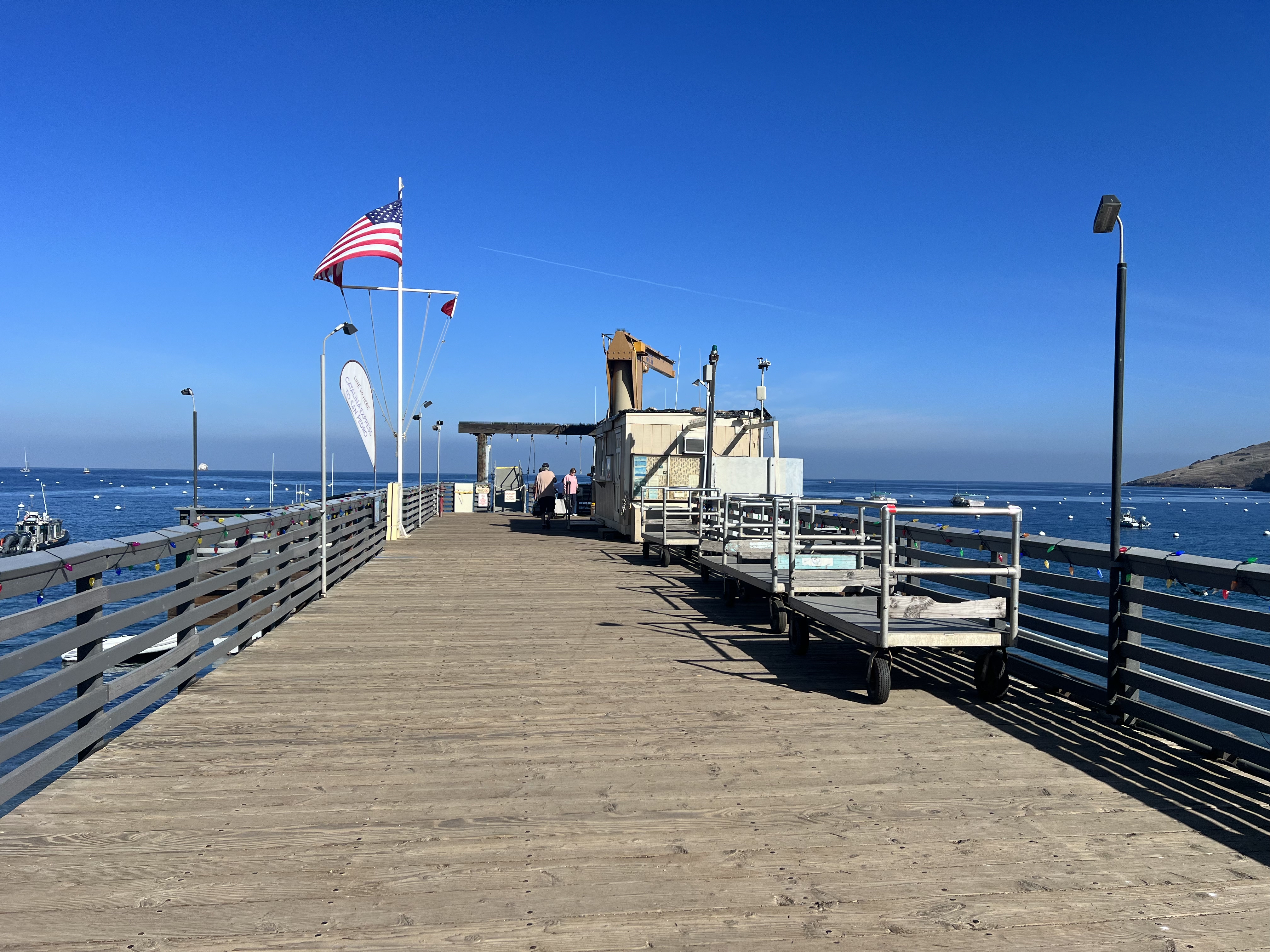
After one last short 100′ climb to a knob, Two Harbor came into view. Within an hour we had descended the 1,500′ and were picking out a table outside of the general store, ordering a pizza and beer. They even had a couple of excellent N/A beers for me, now having survived over nine months without alcohol.


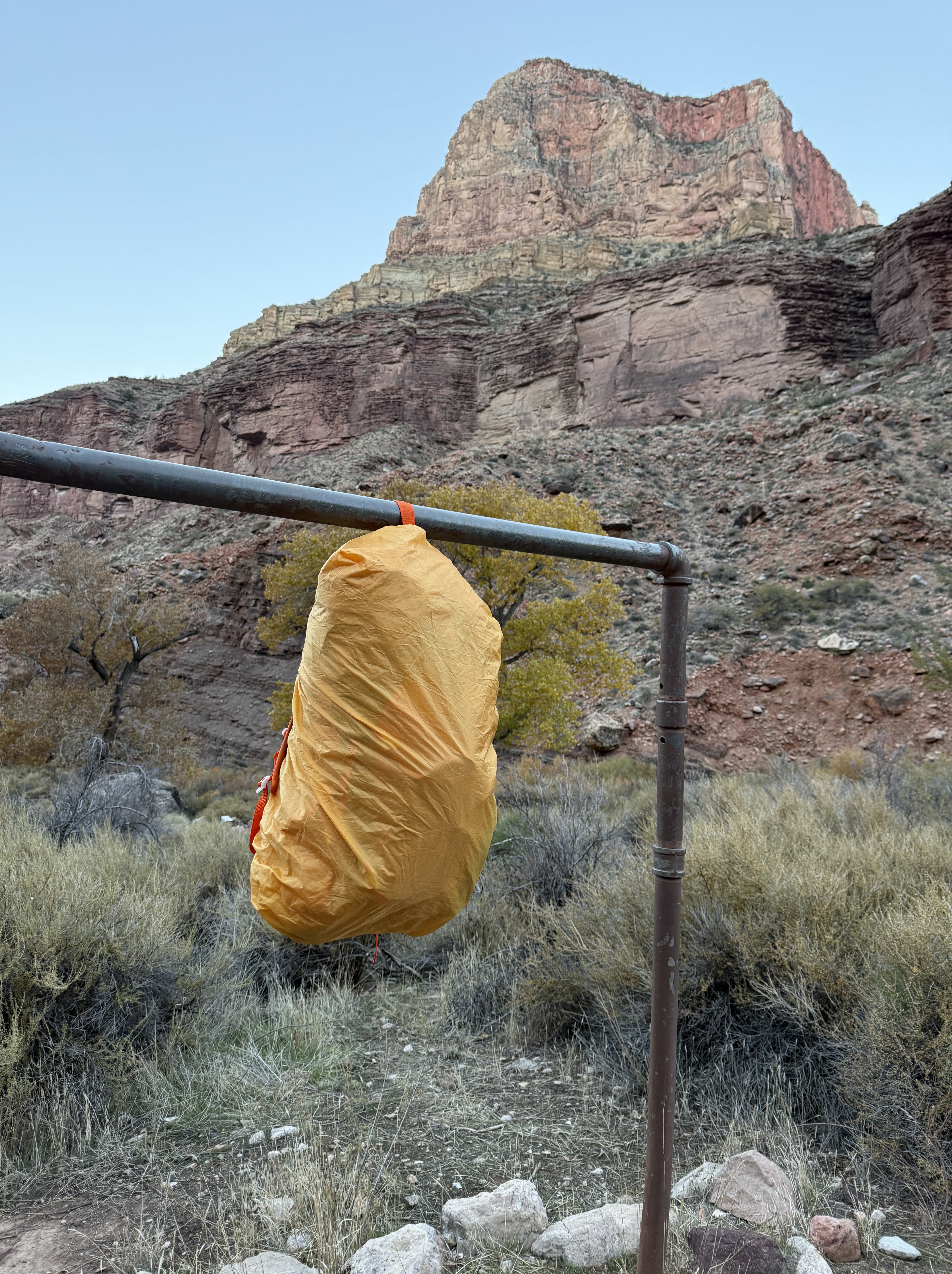
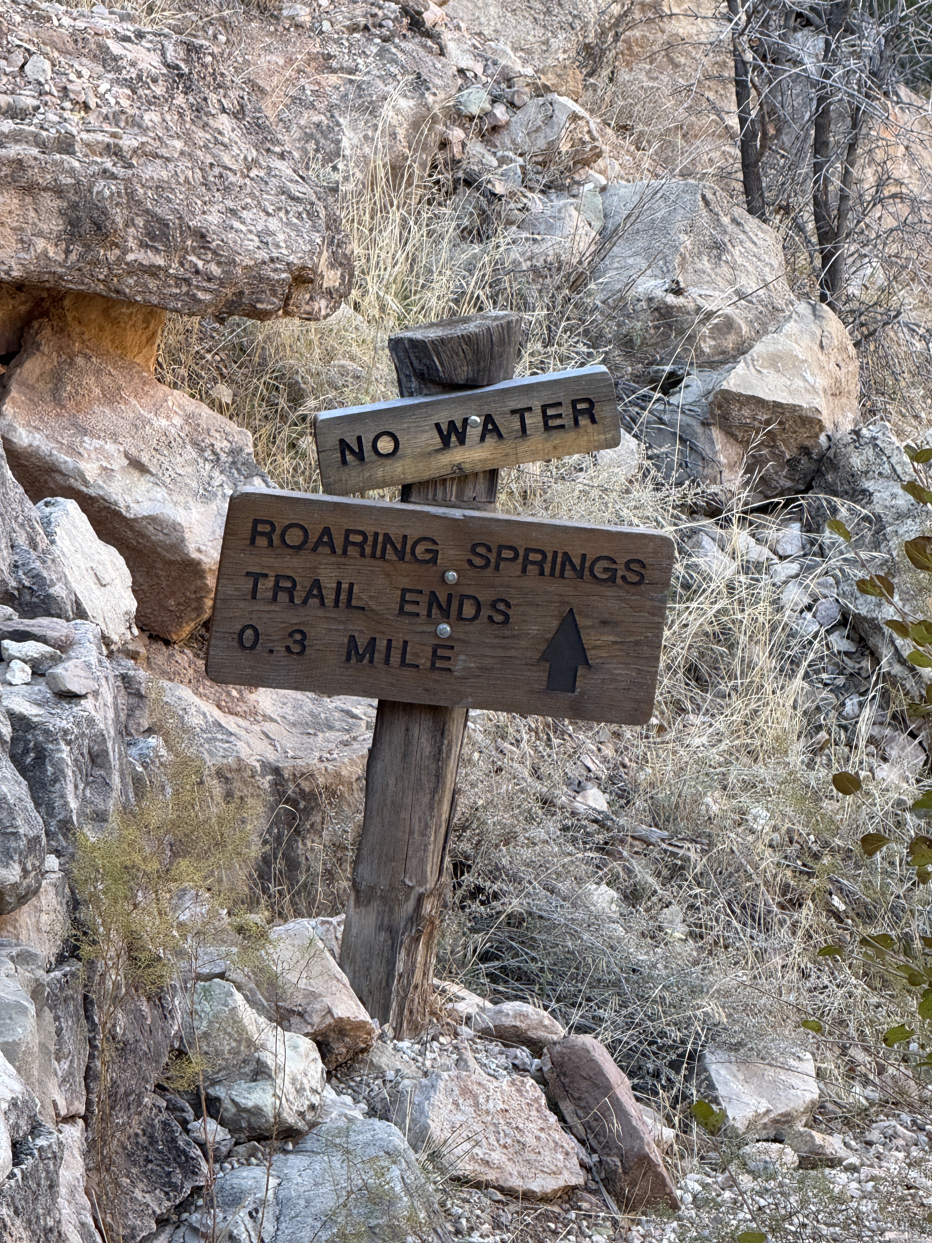
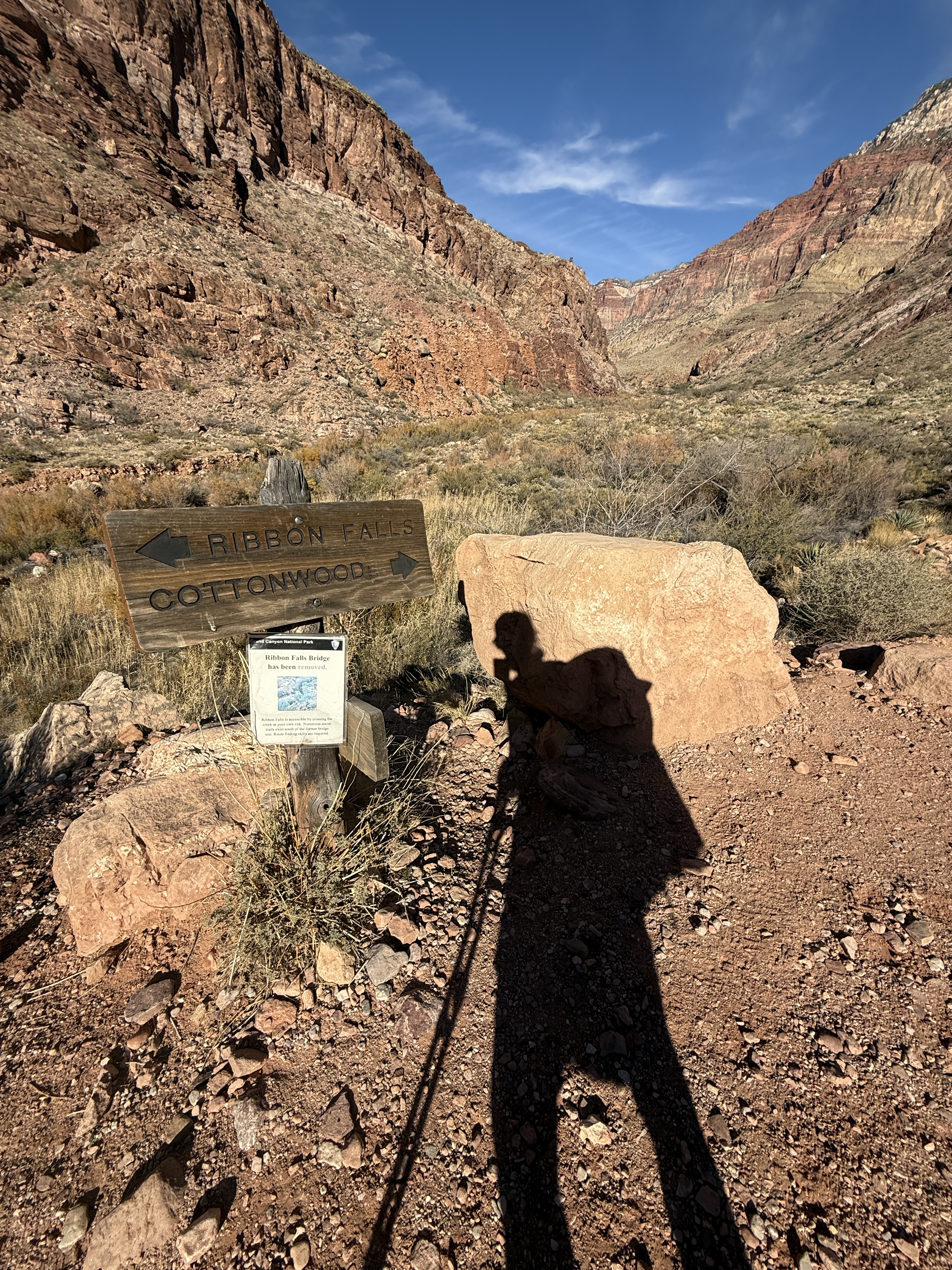
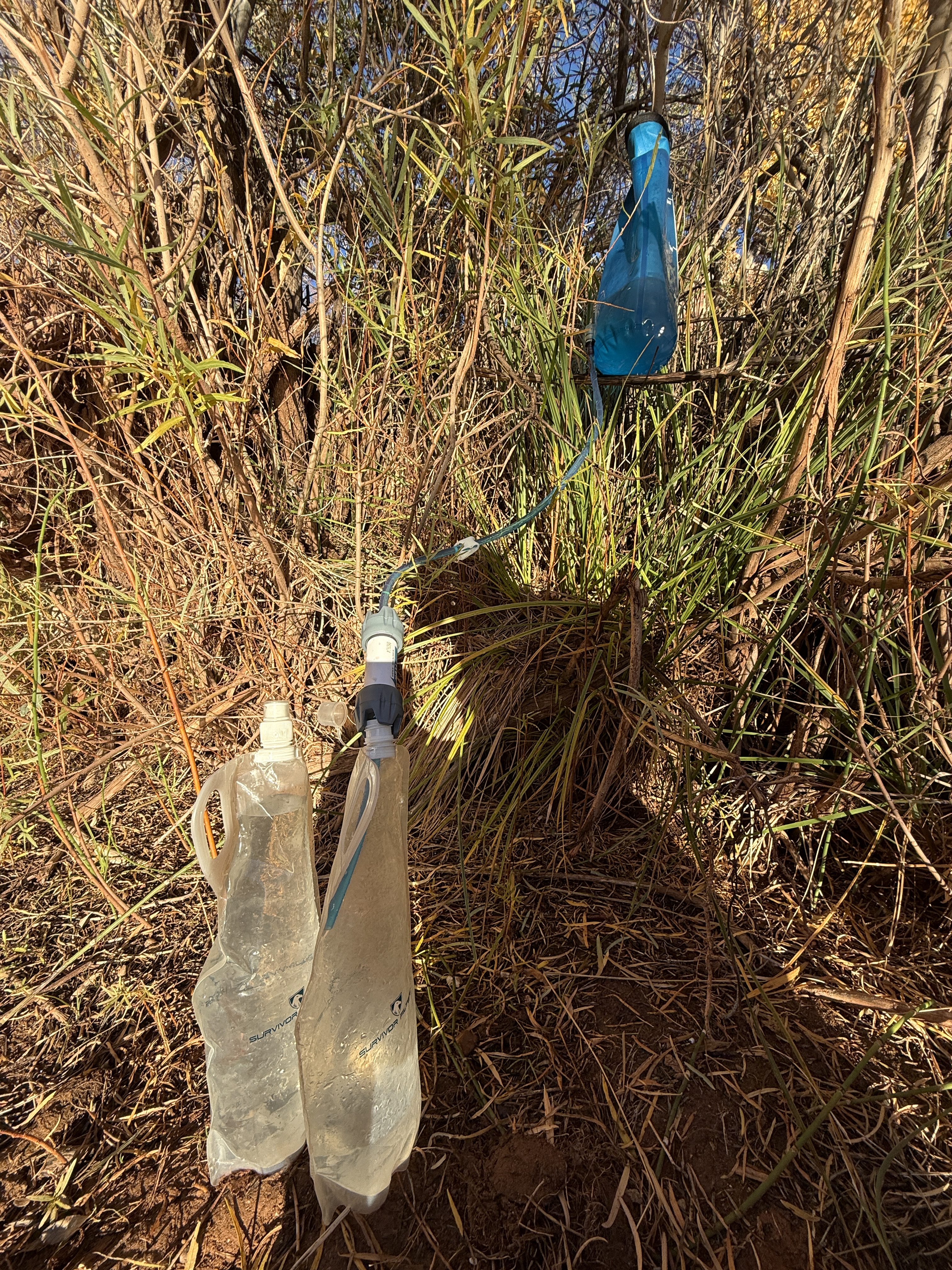
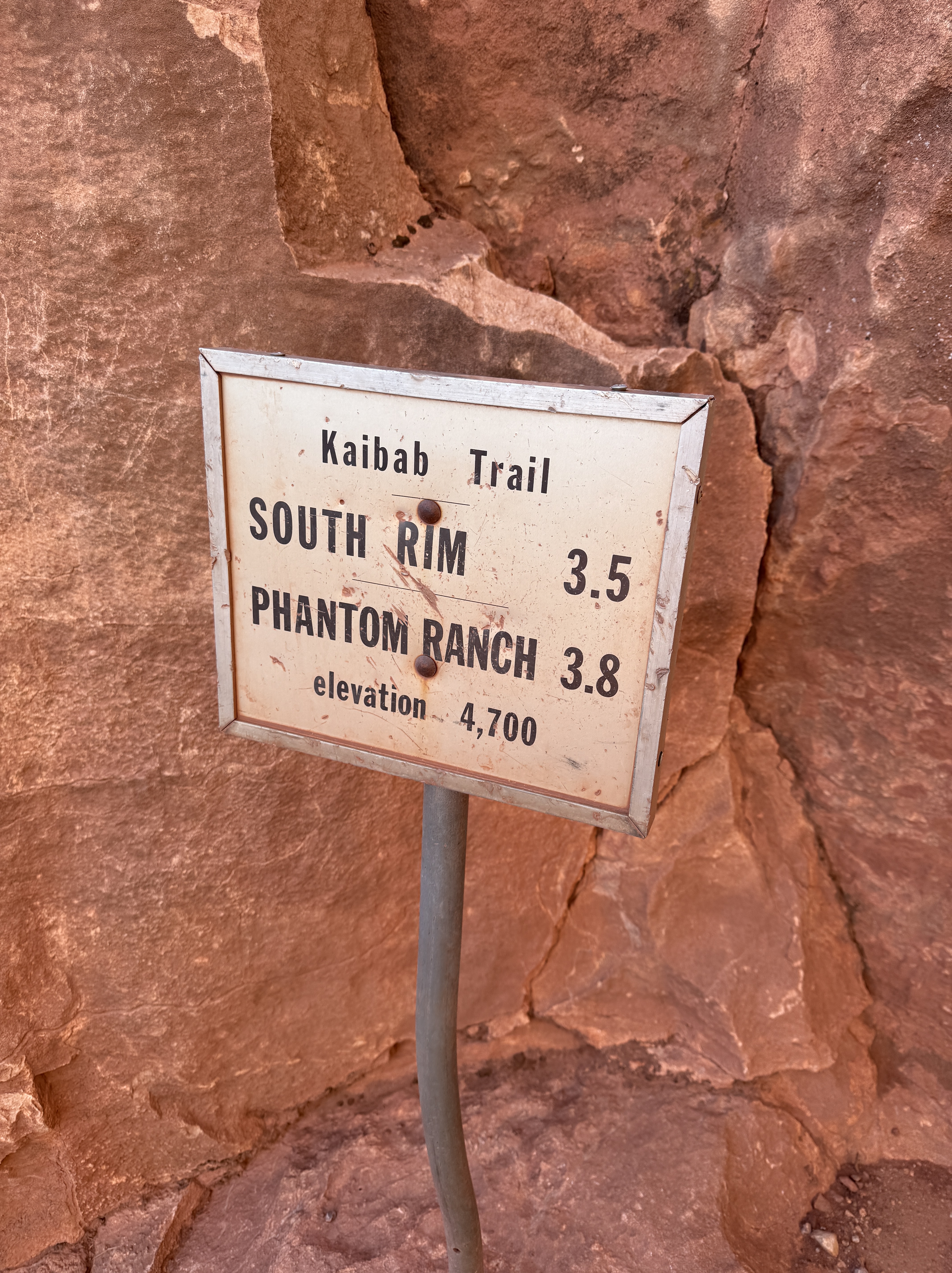
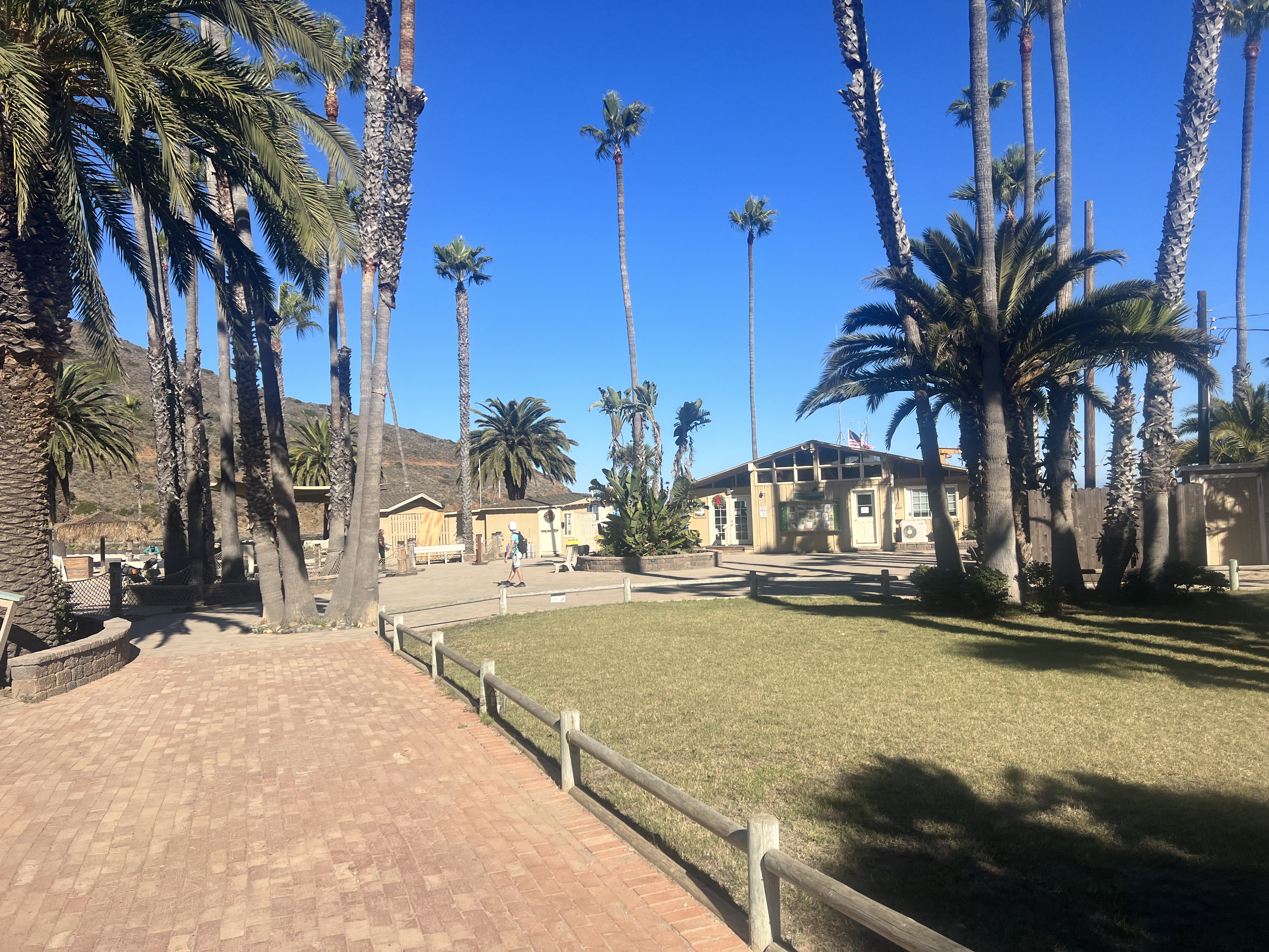
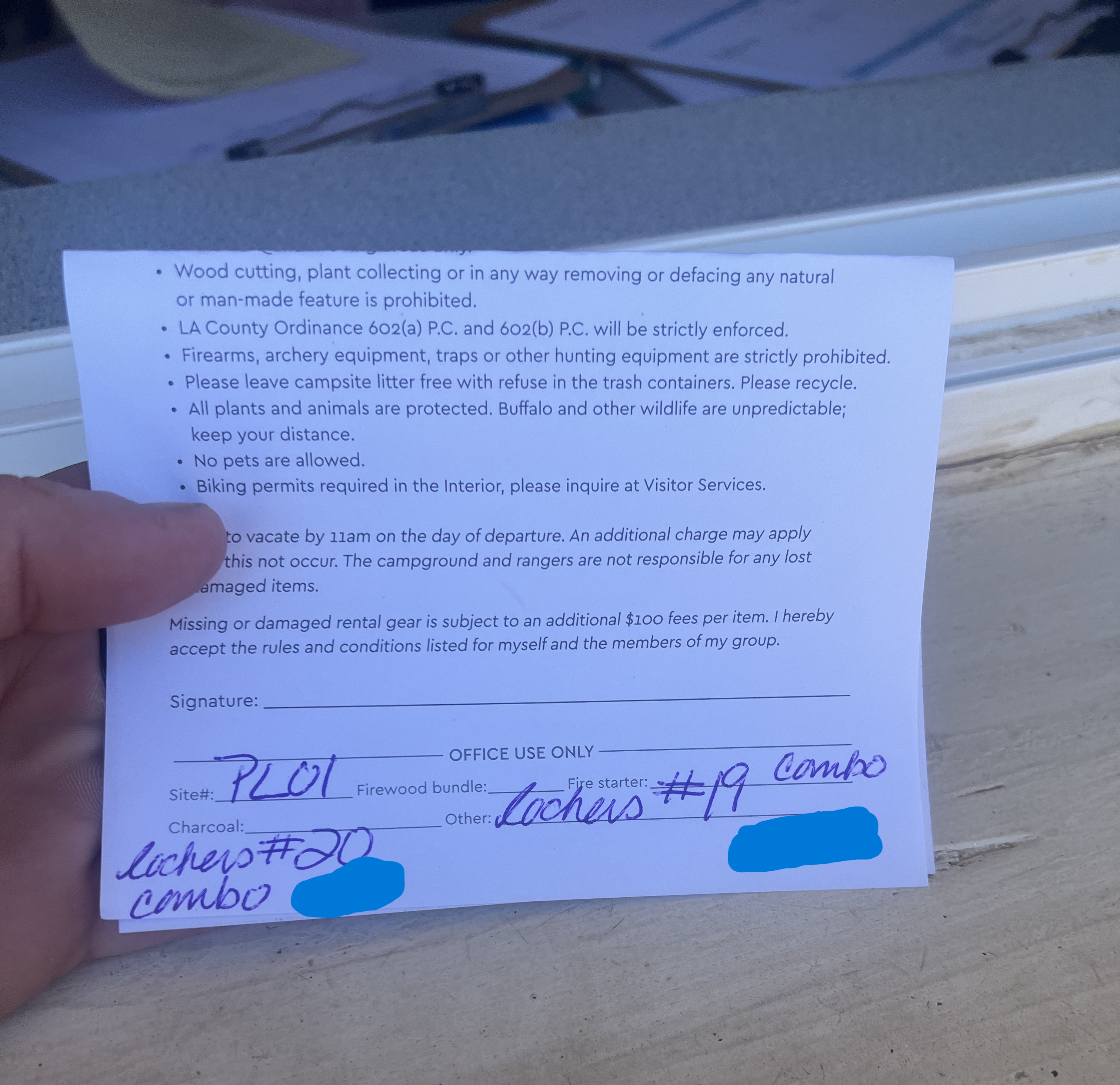
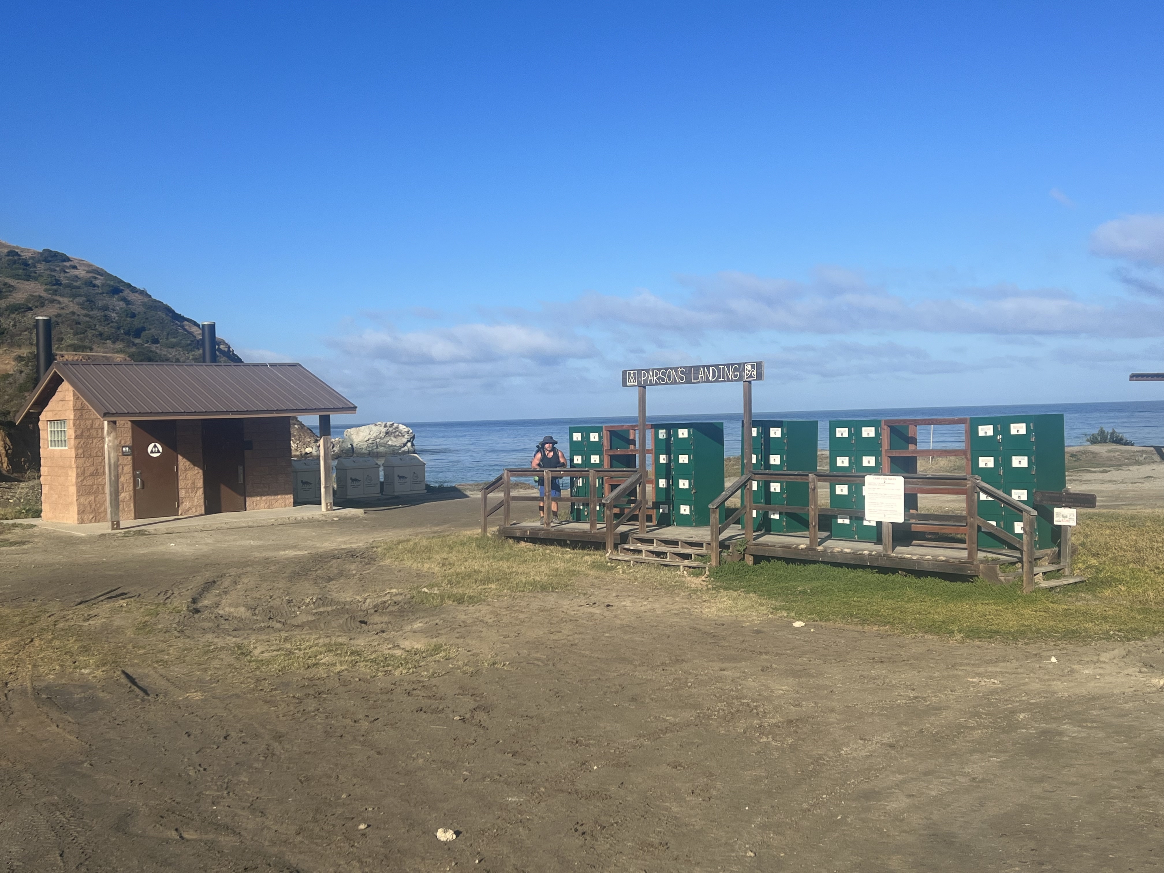
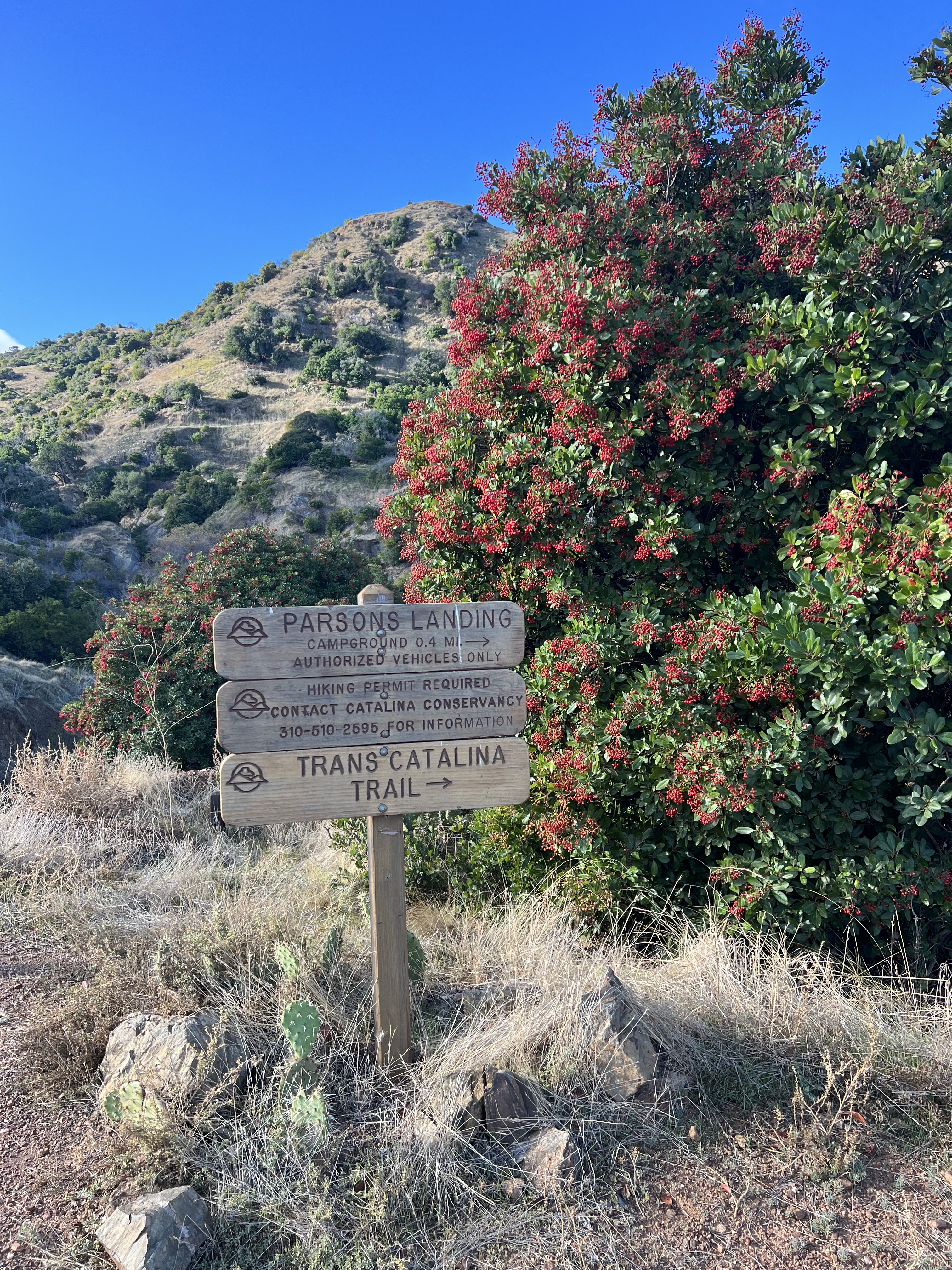
While waiting for our order, I walked over to the Visitor’s Services kiosk, a small building right on the pier where we would be catching the ferry home in a couple of days, and picked up our pre-arranged locker codes. The lockers at Parson’s would each contain a couple gallons of water, a bundle of firewood and firestarter. There is no water source at Parson’s or anywhere nearby, so it is imperative to pre-order these lockers.
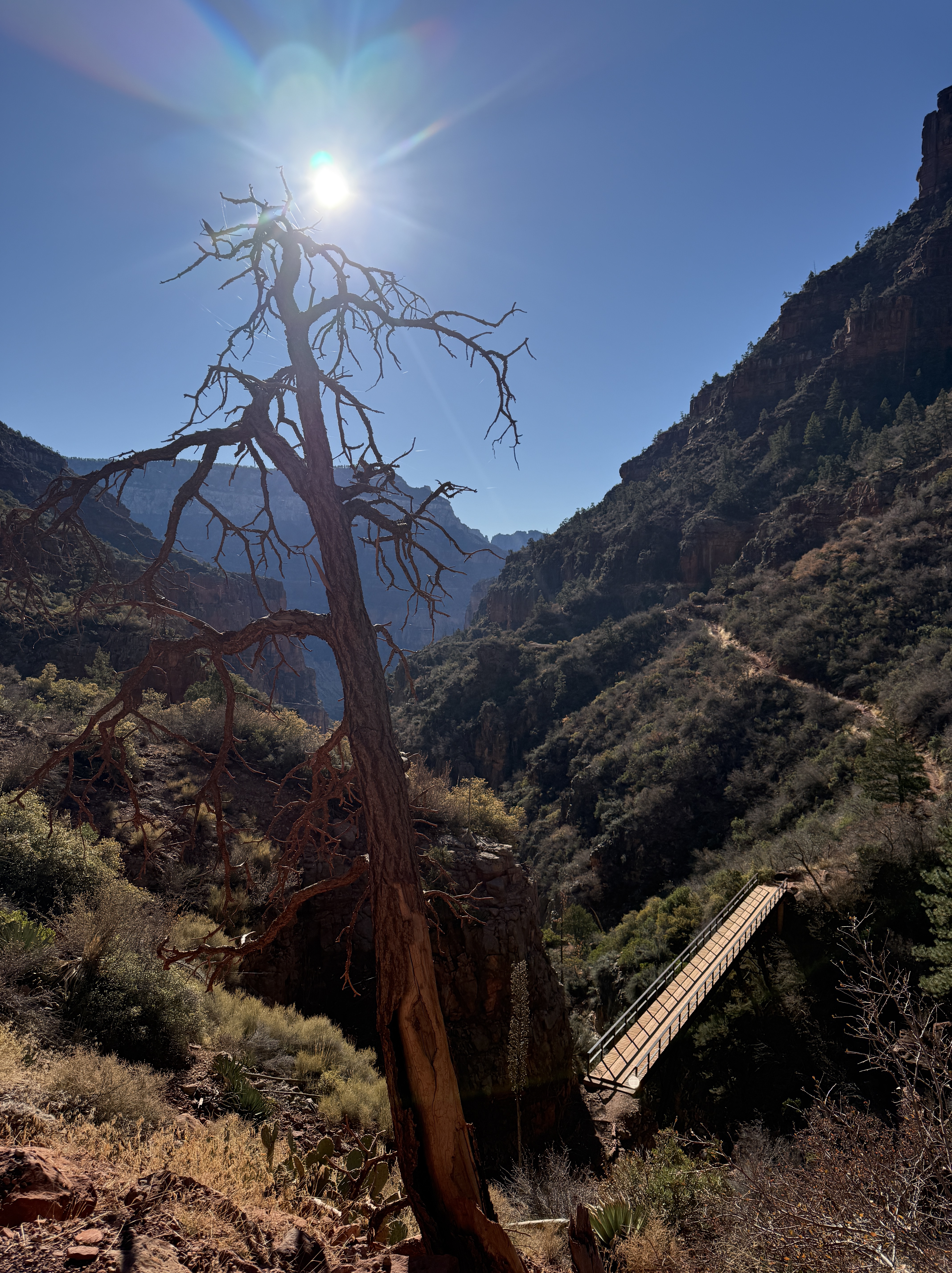
We finished our meal and headed to the shower/laundry building, only a few steps away from the general store and Visitor’s Services and ditched some extra gear in the lockers. Today was going to be a long day and we would be returning to this quaint town the following afternoon. We jettisoned anything we didn’t need for the night and would pick it up upon our return.

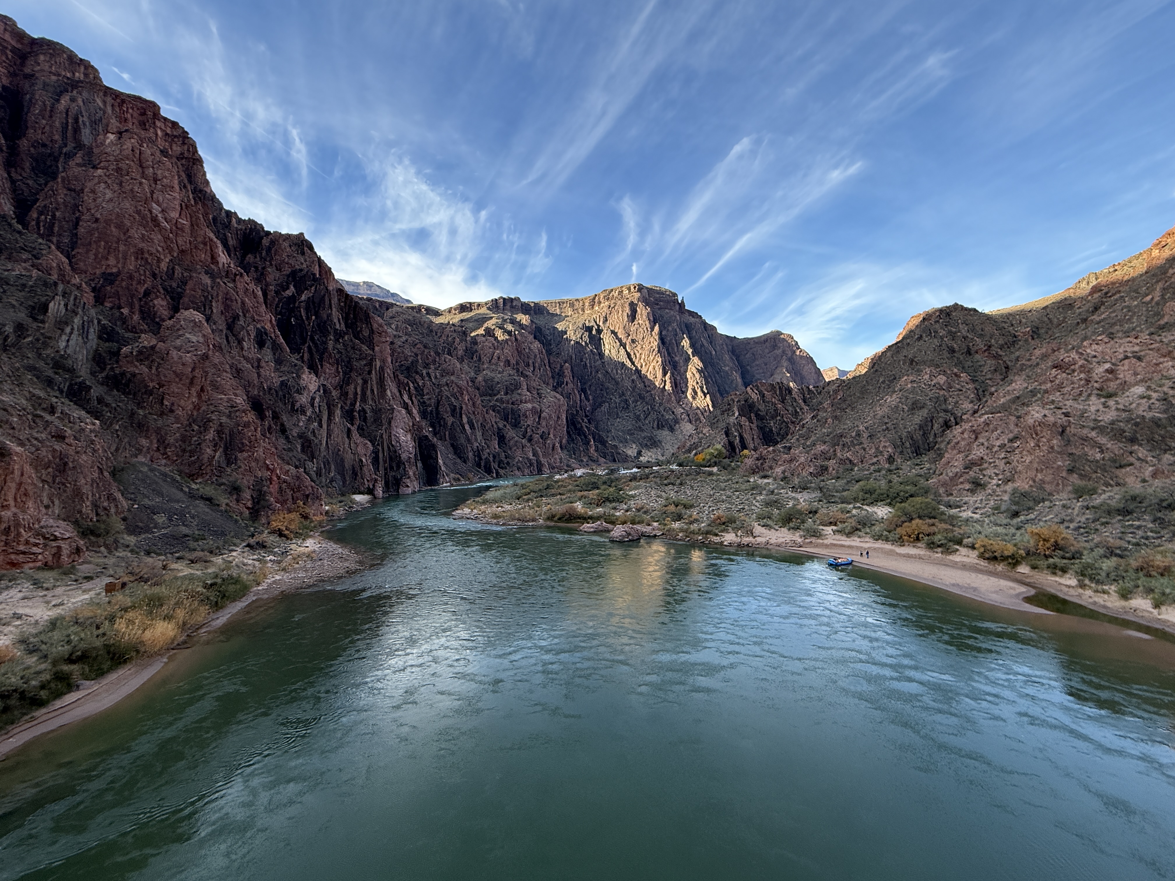
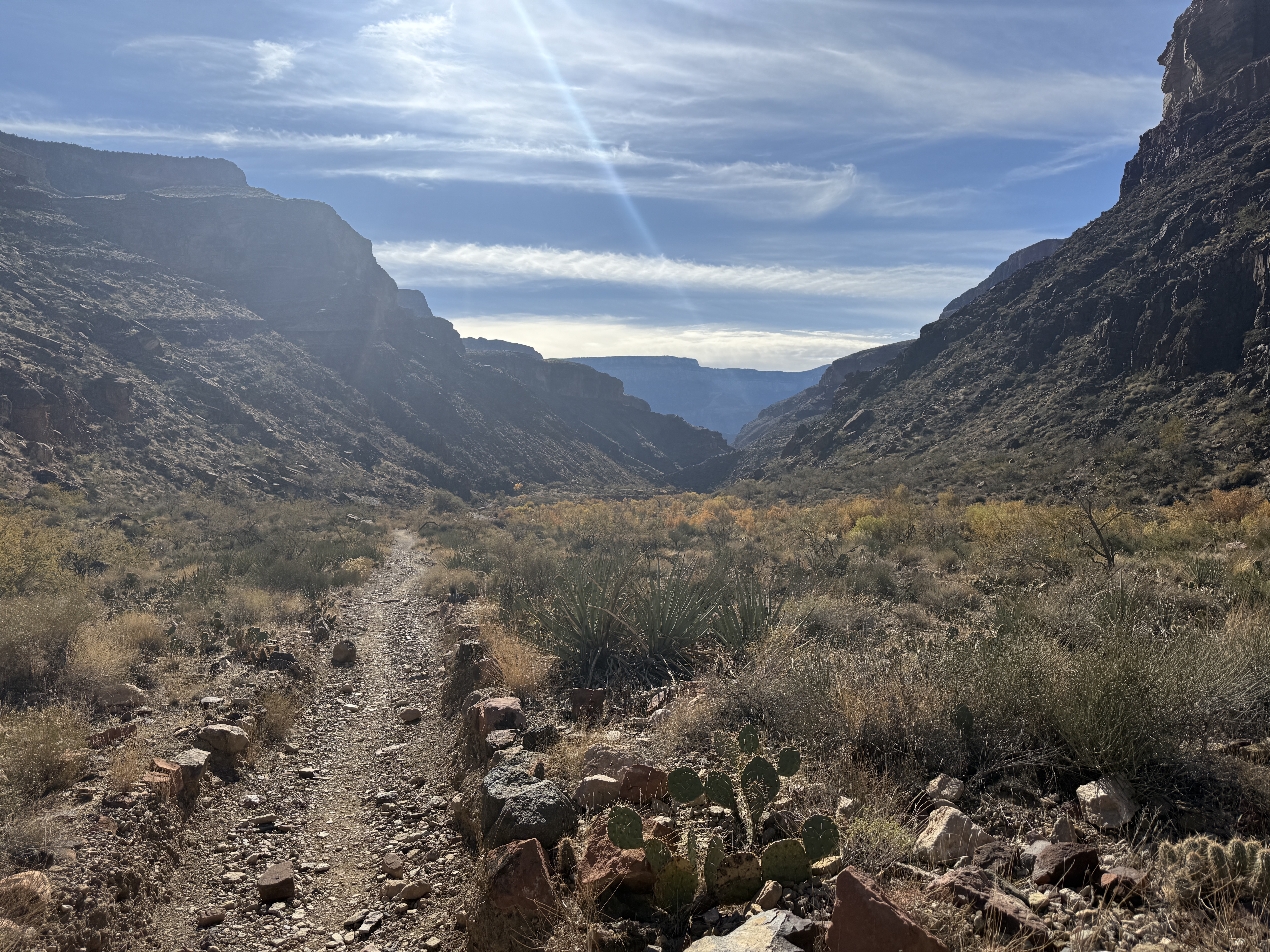
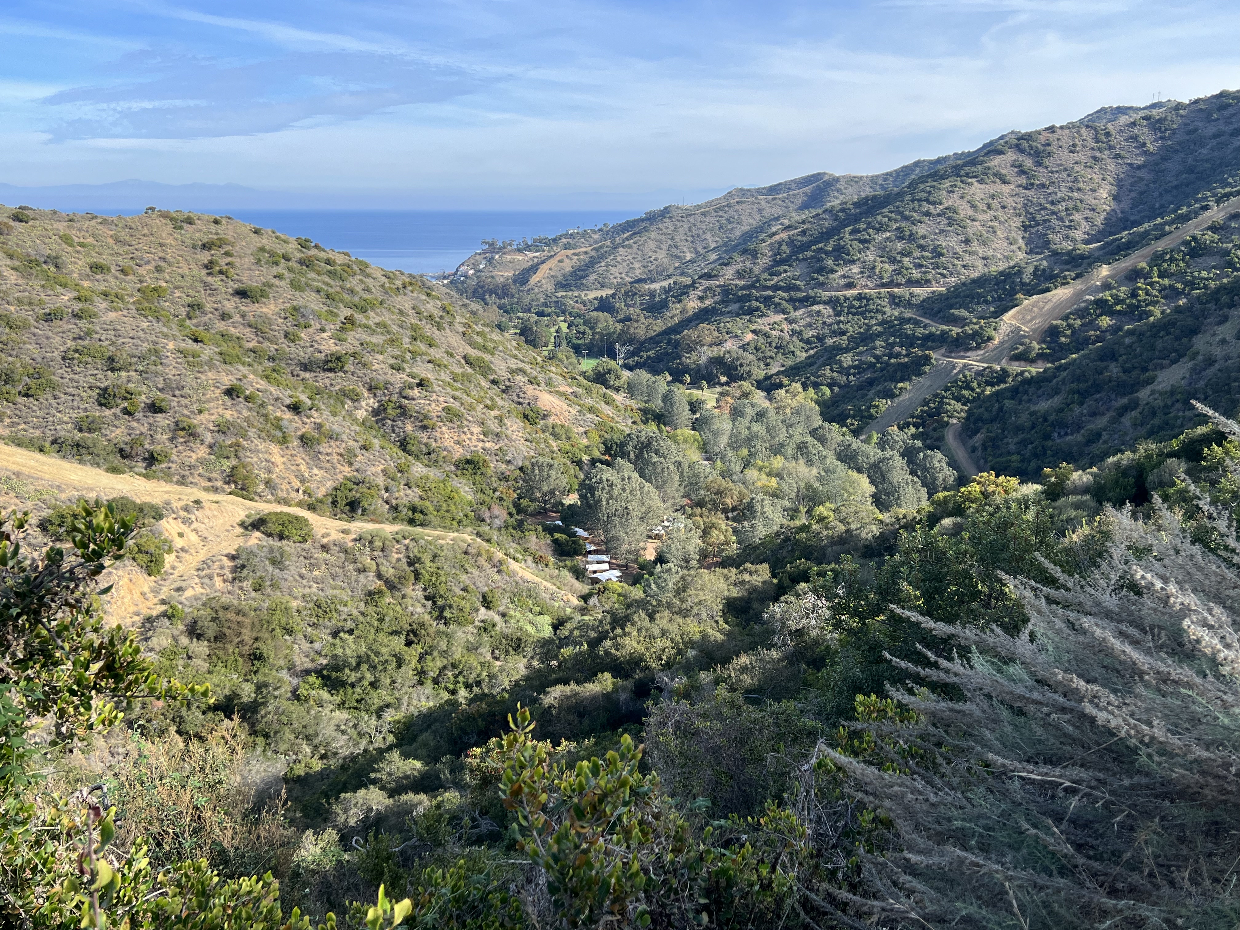
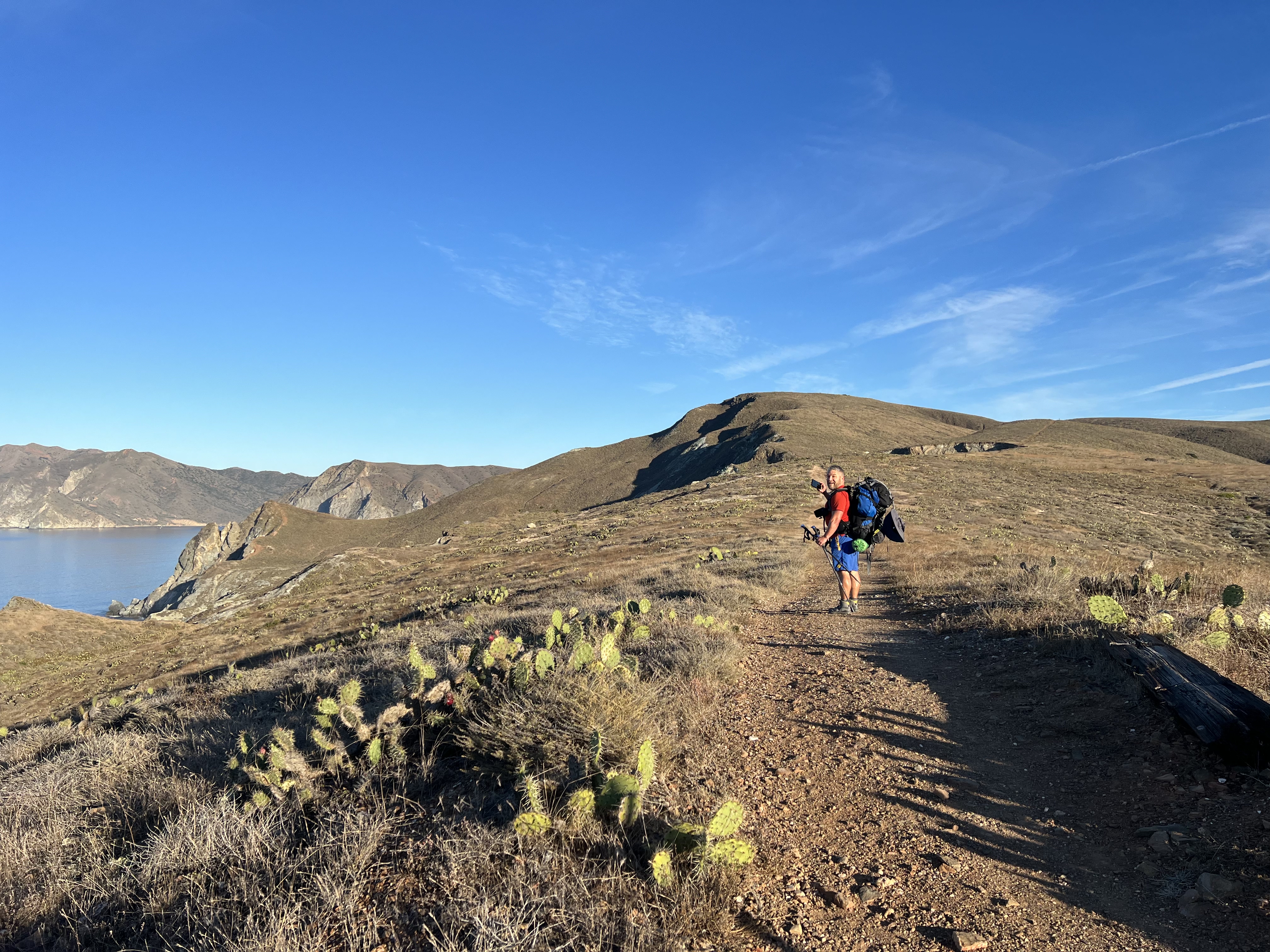
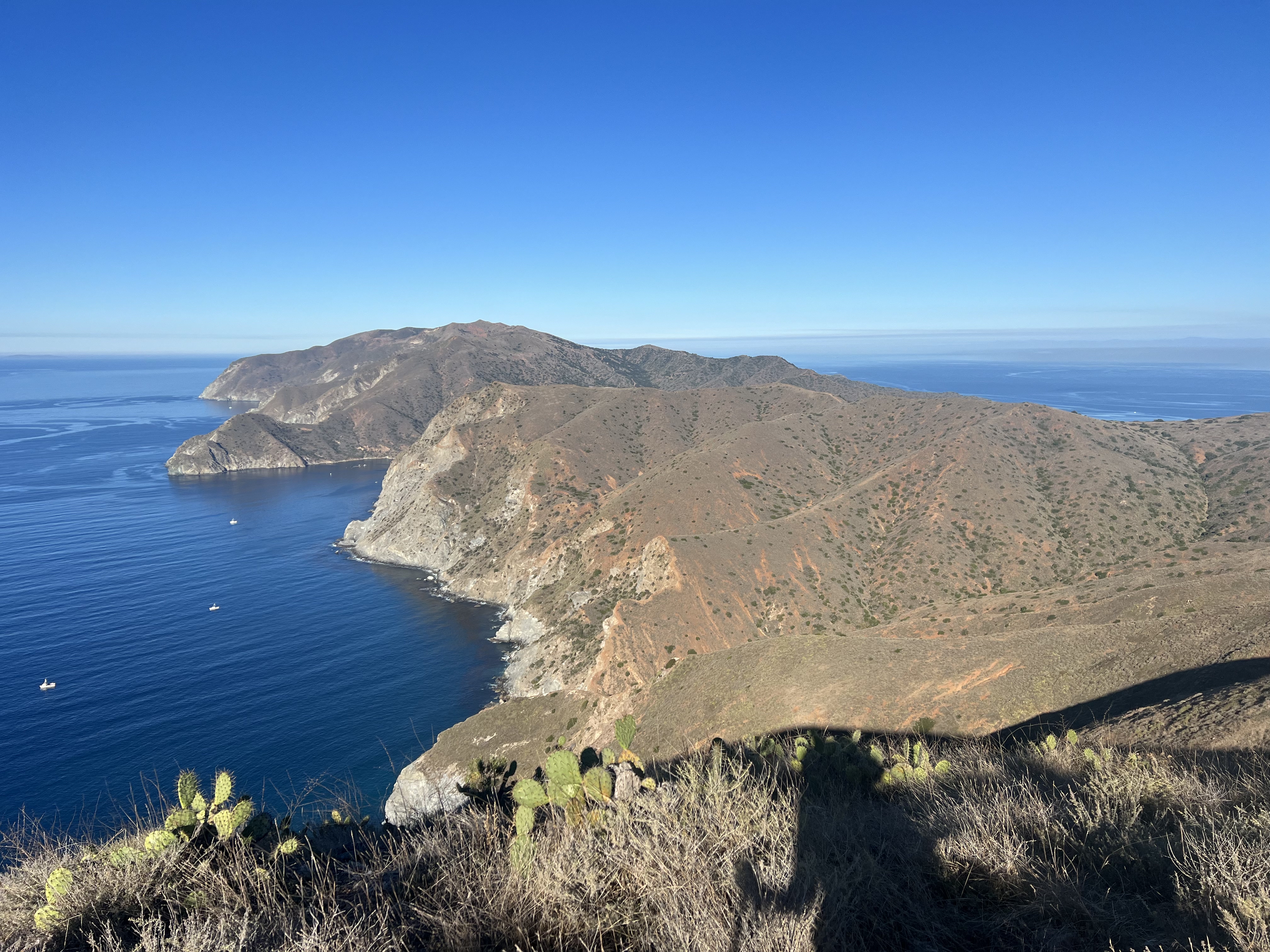
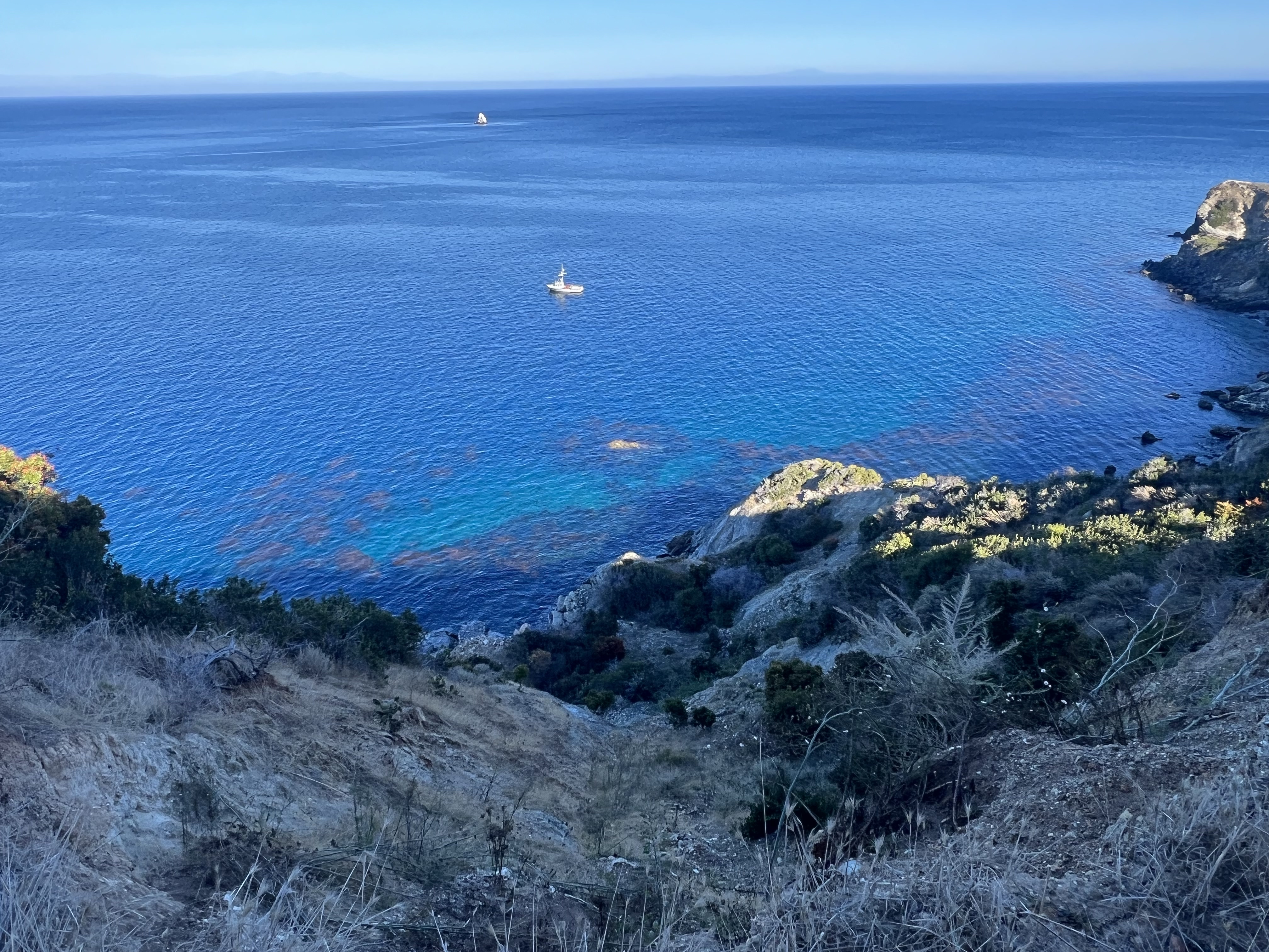
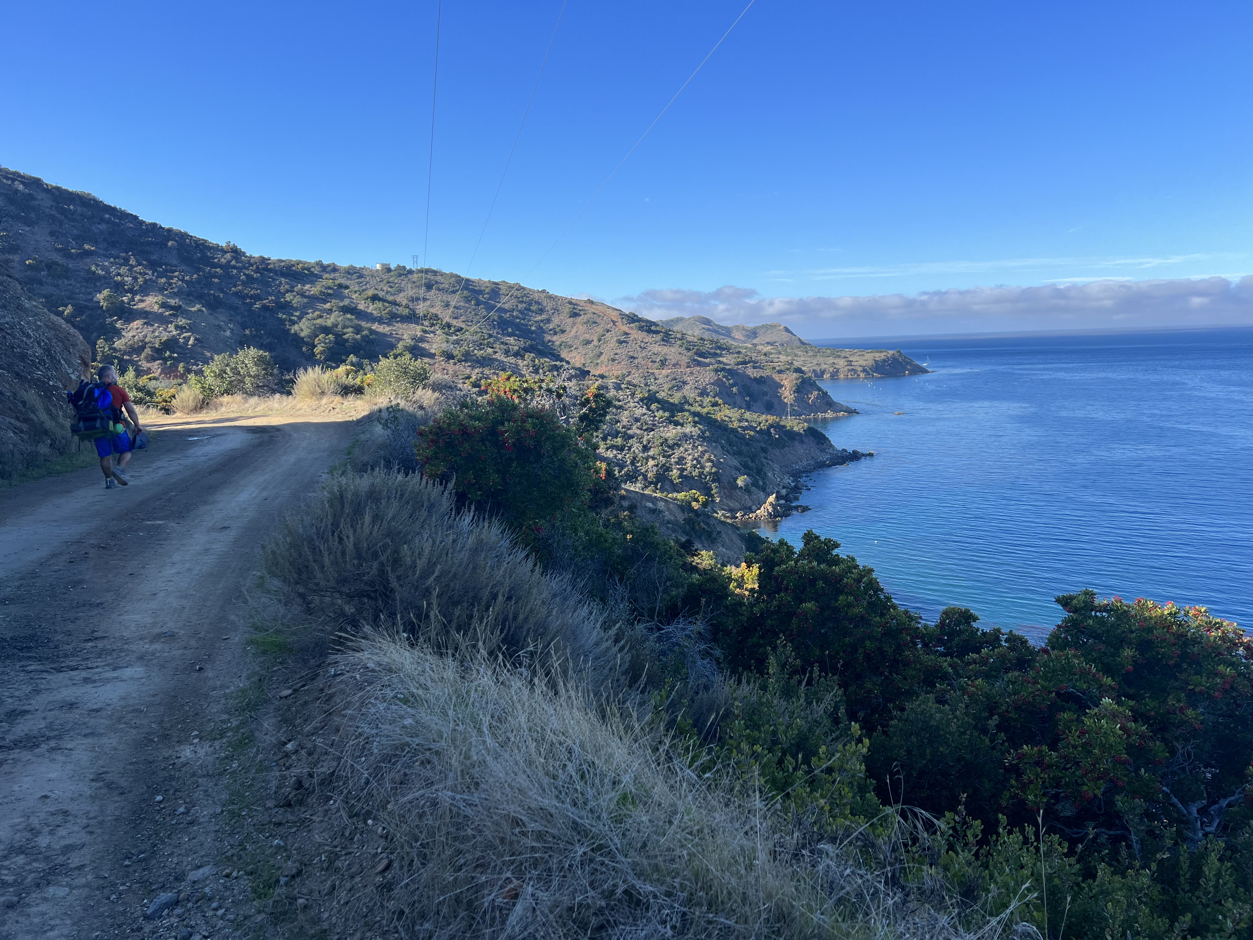
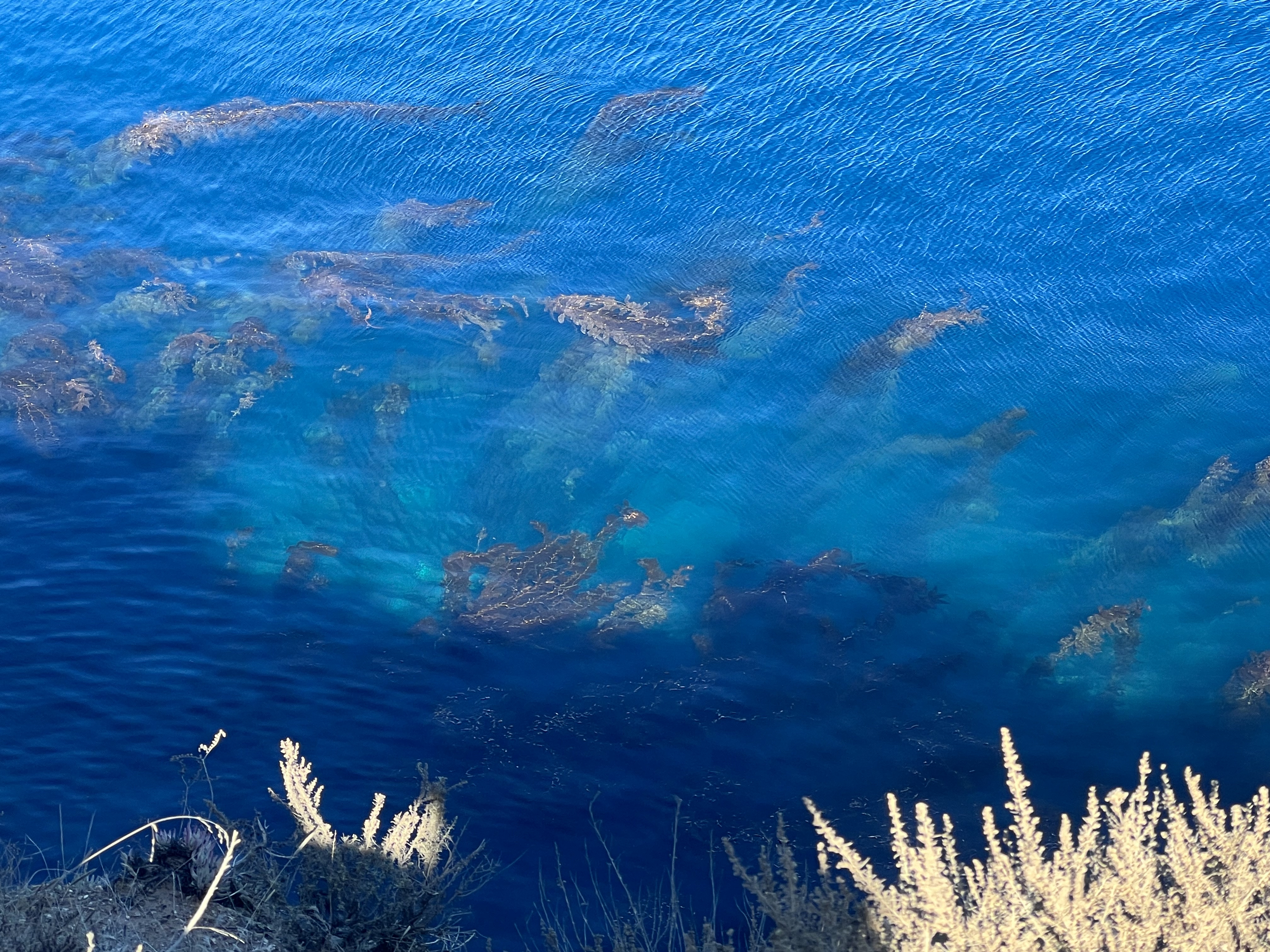
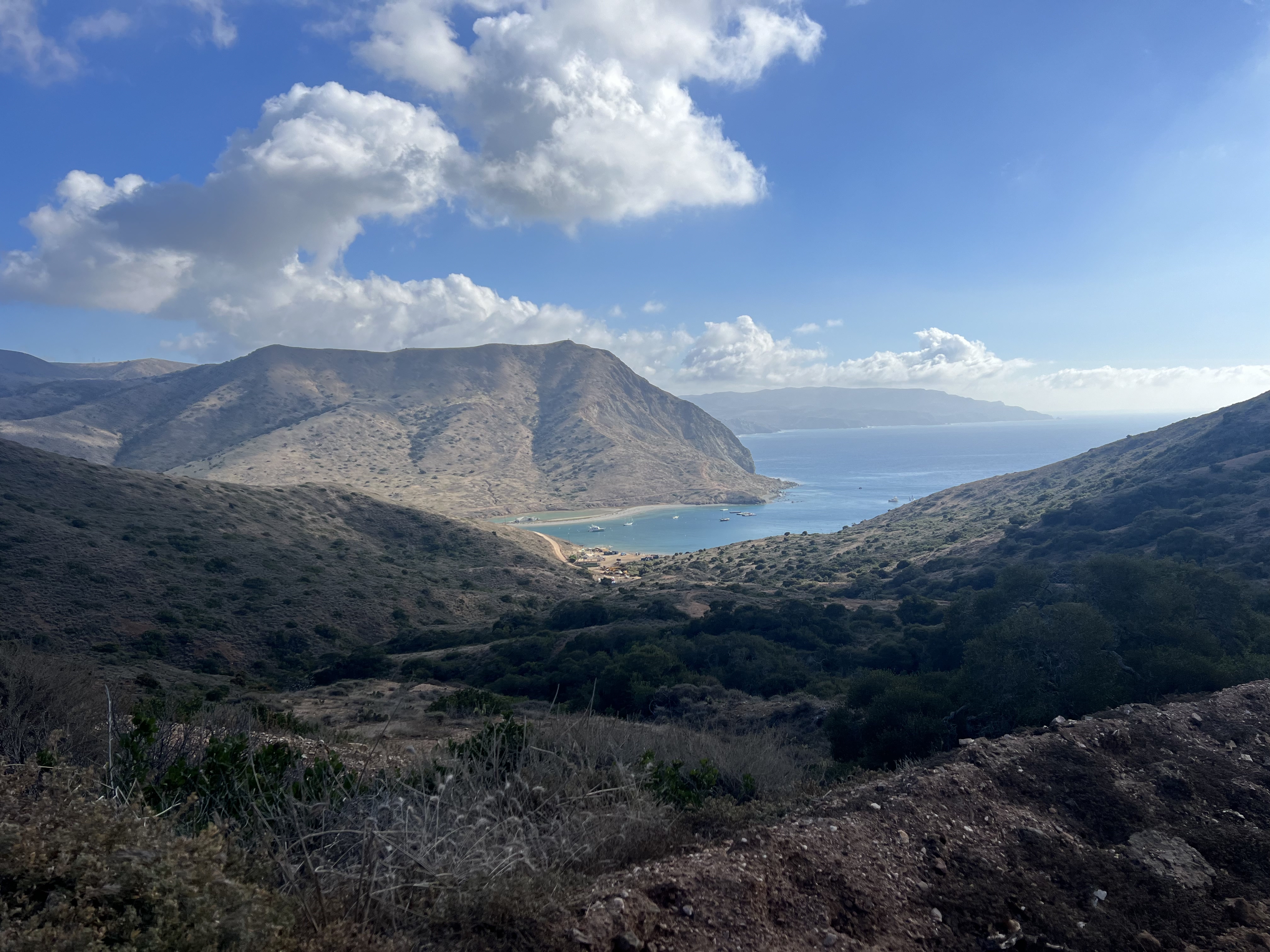
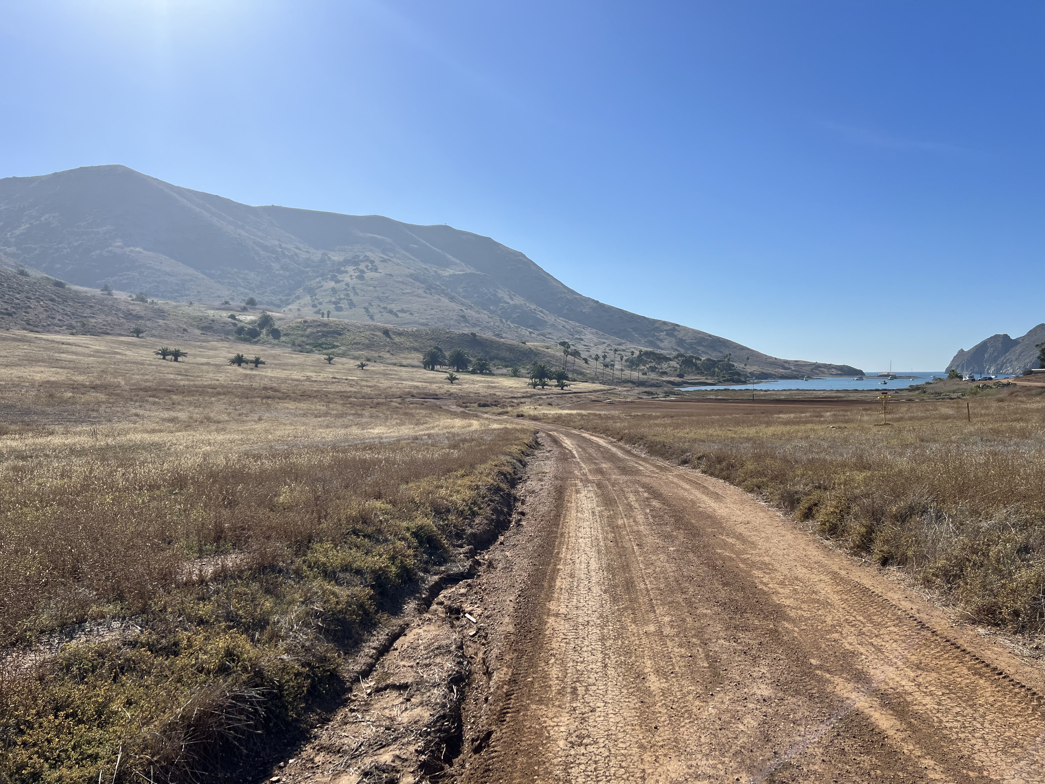
Fed and rested, we set off an hour and a half after arriving, deciding to travel out to Parson’s via the West End Road. We would return via the mountain route the following day. It felt good to be a few pounds lighter for our last nearly 8 miles of the day. We walked past the harbor, many of the moorings abandoned for the winter, past giant kelp rising out the depths of the brilliant blue and turquoise water, past camps for Girl and Boy Scouts, one of which had been my now 60 something year old aunt, until we turned inland and uphill at Johonson’s Landing.
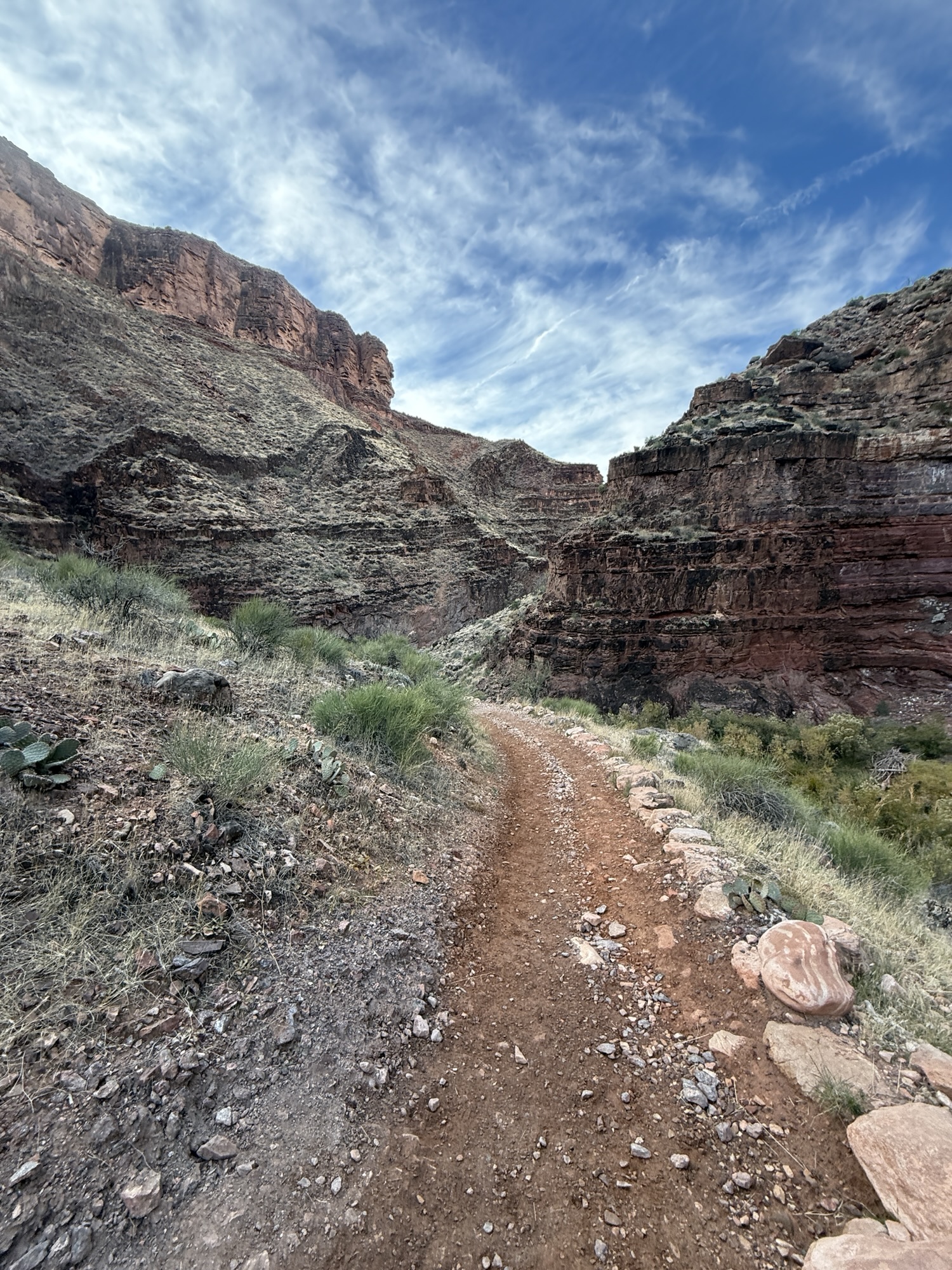
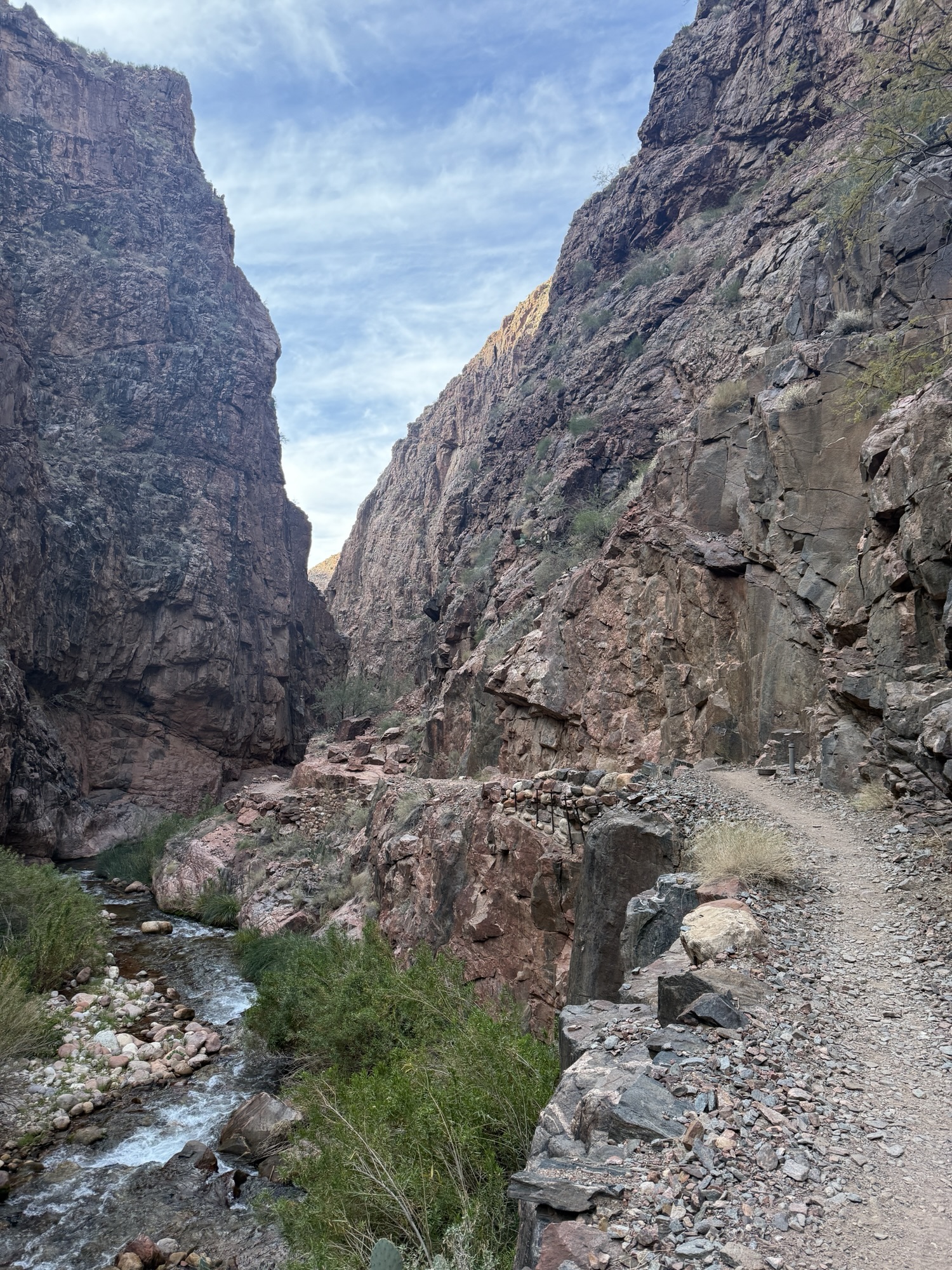
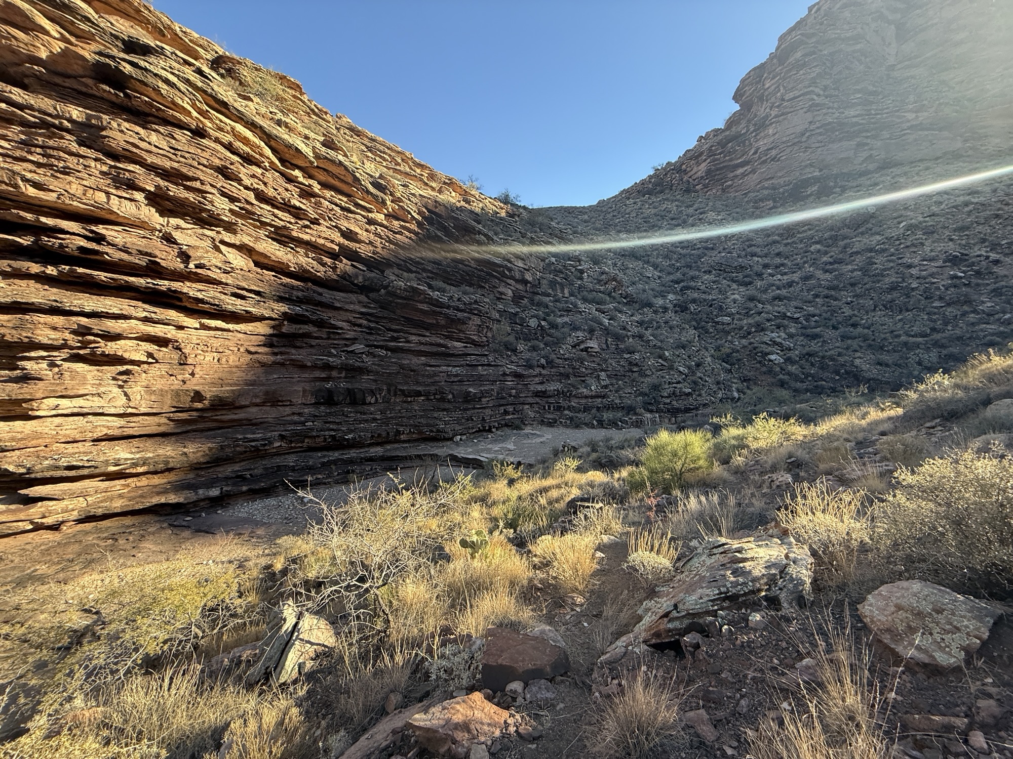
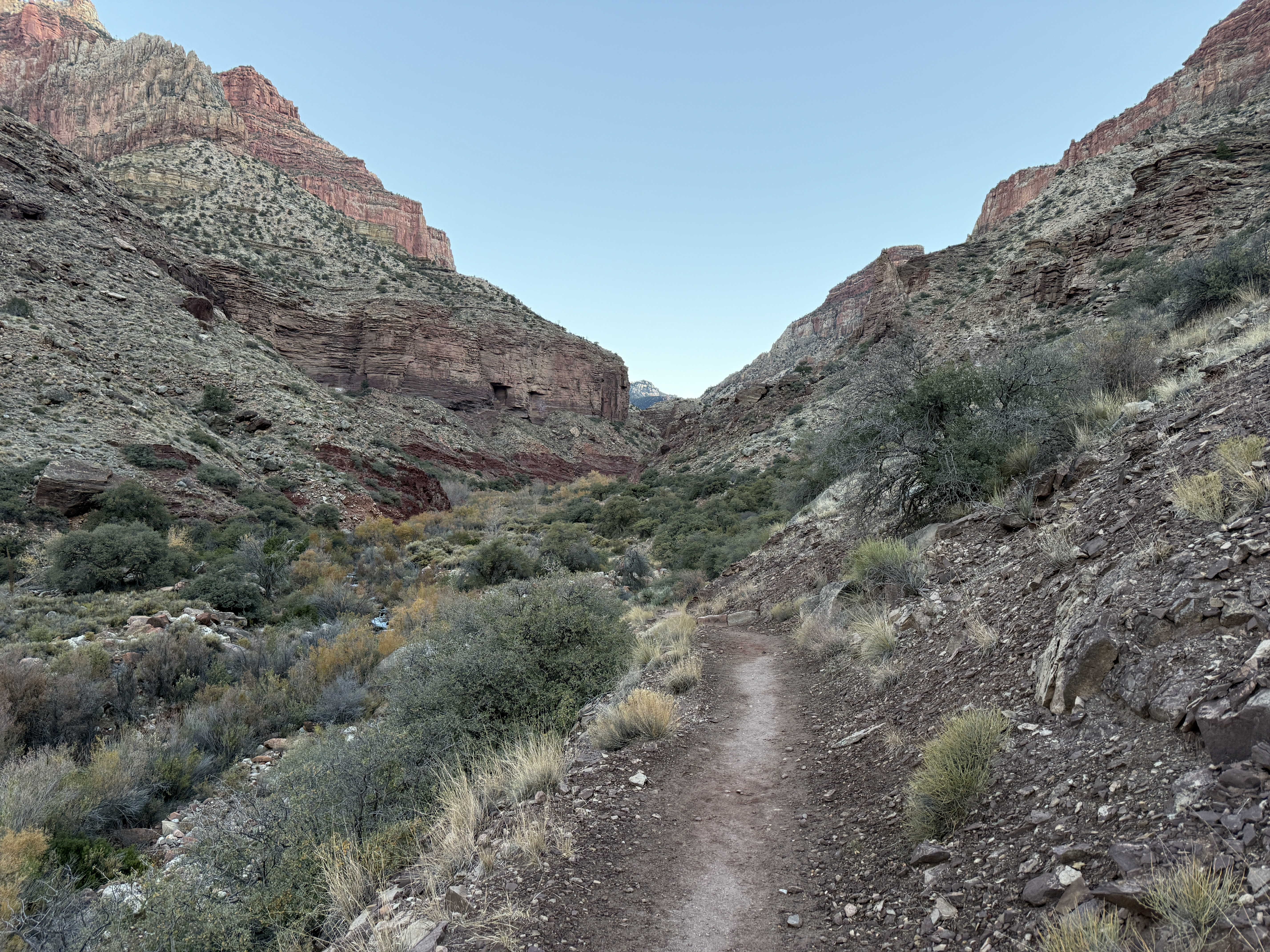
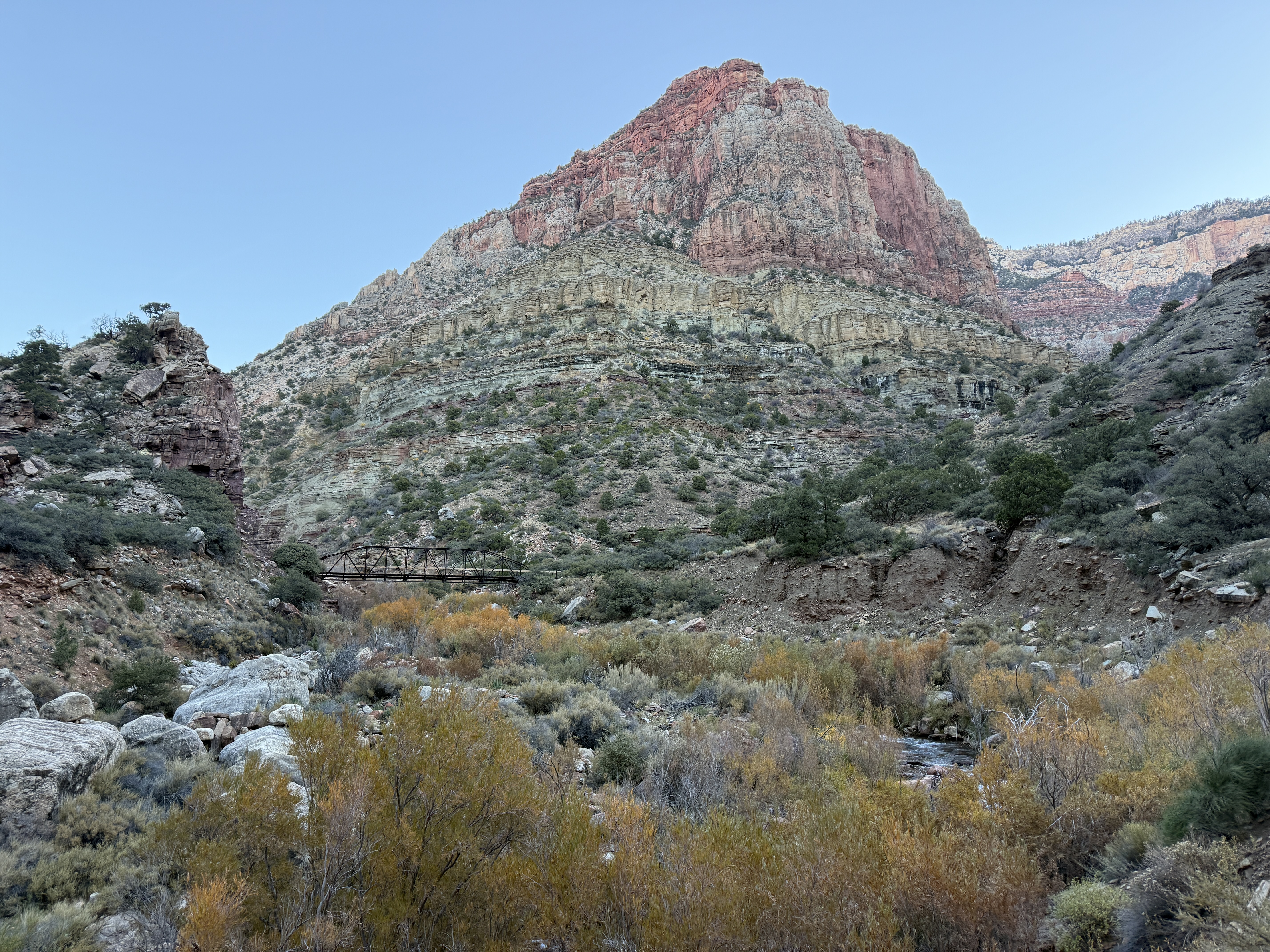
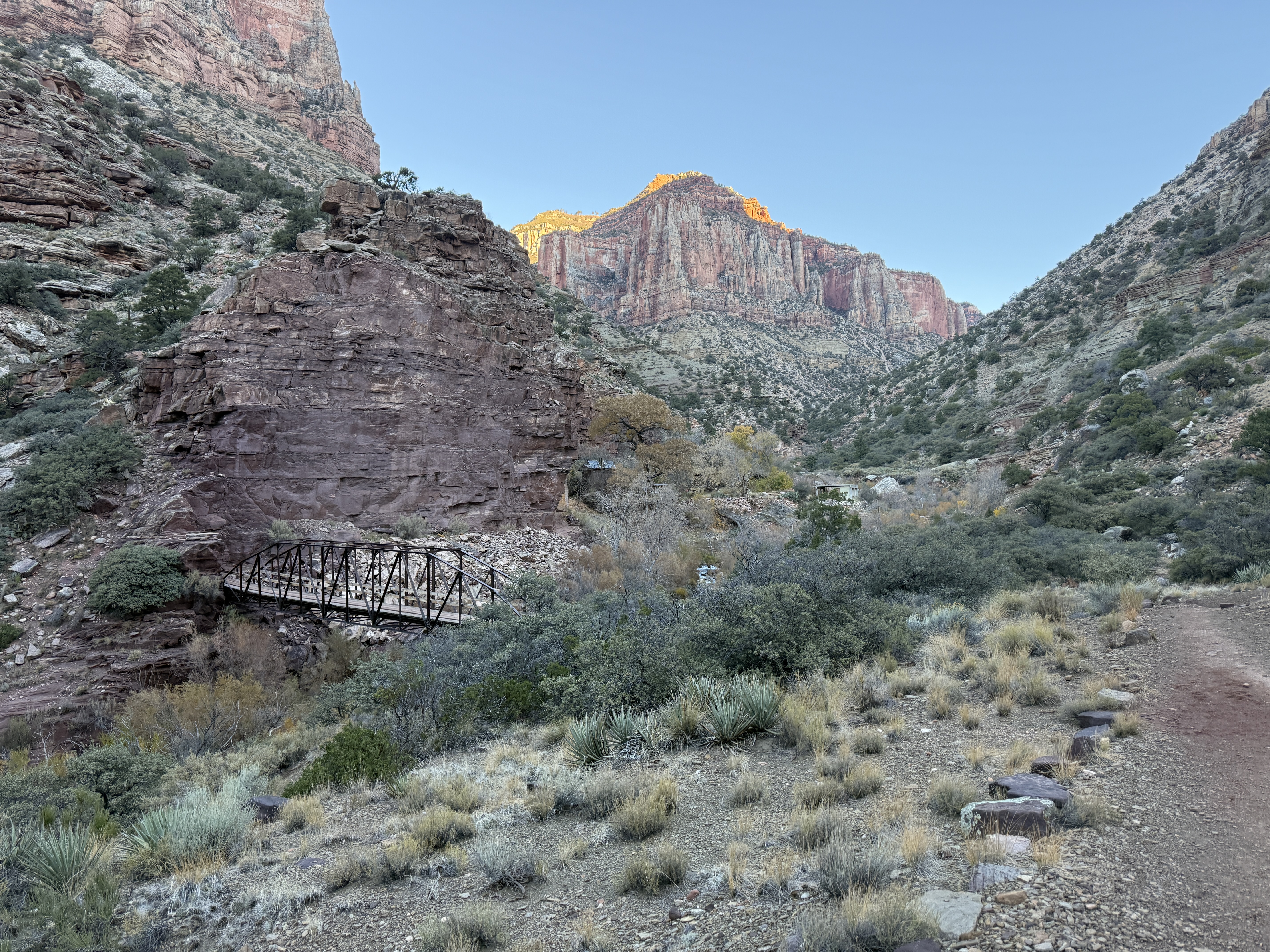
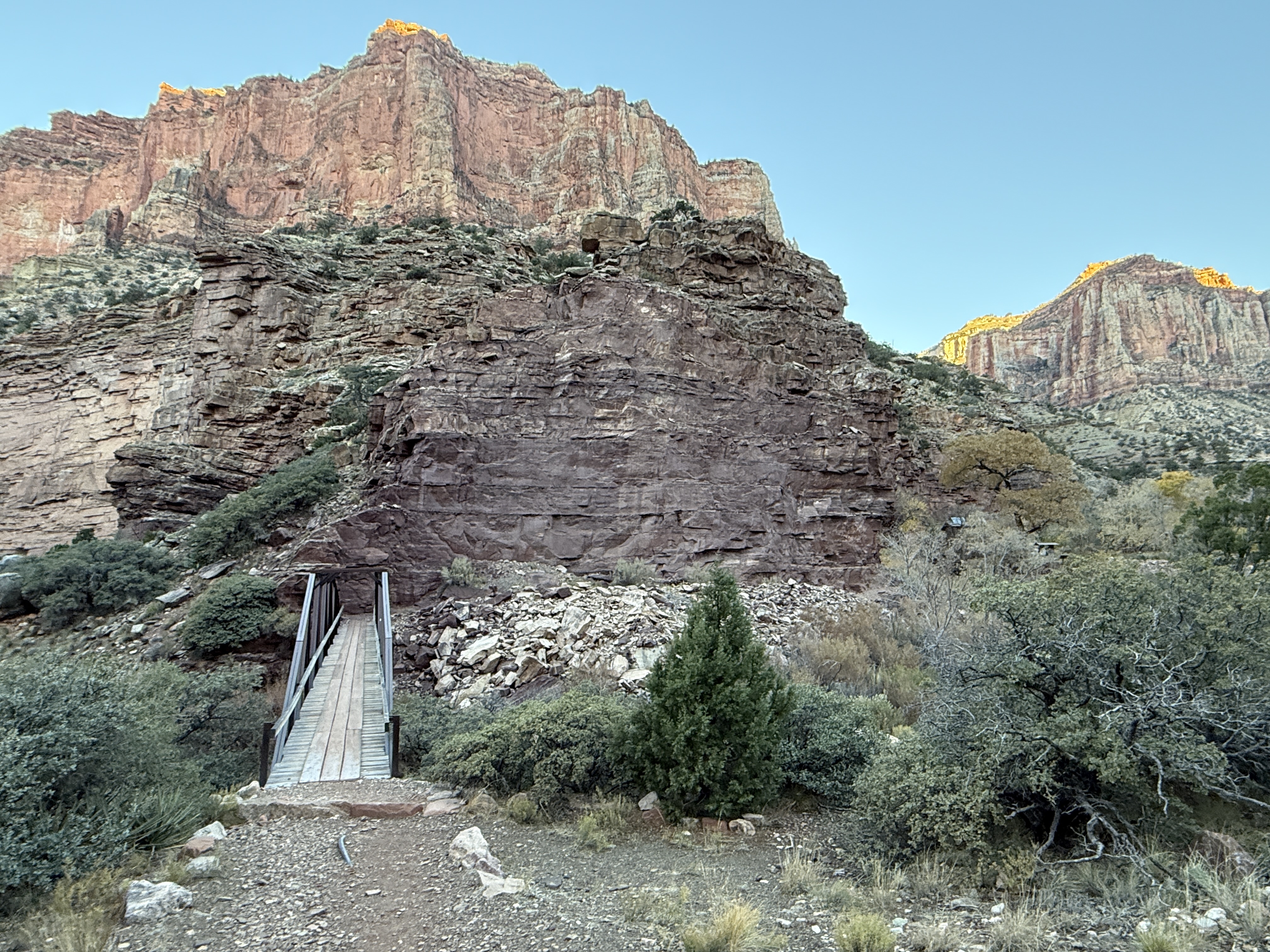
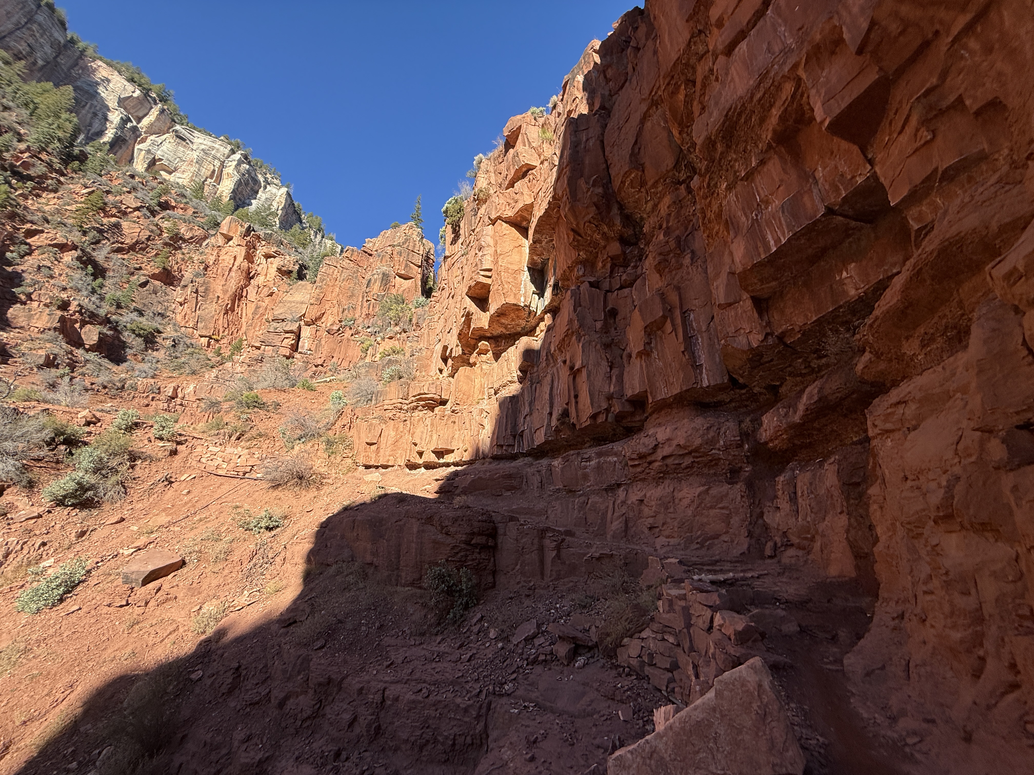
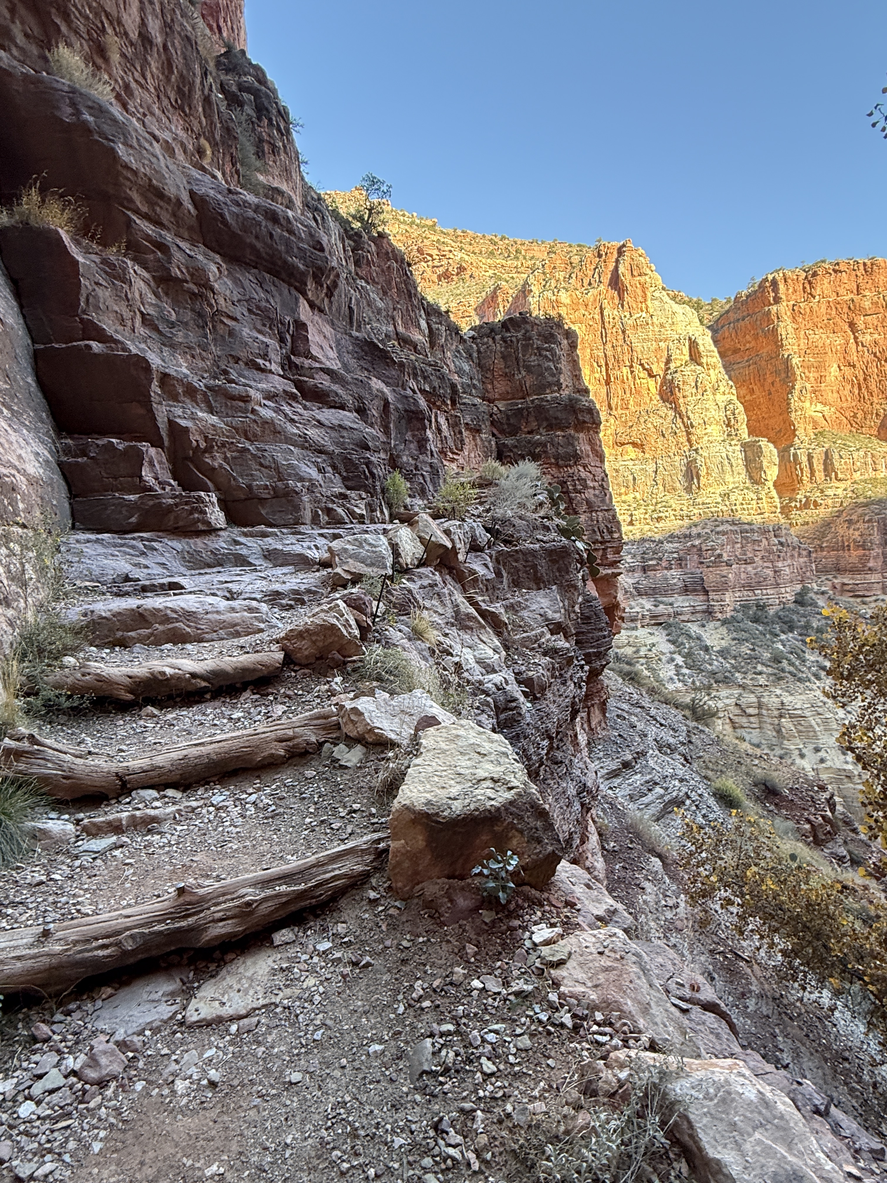
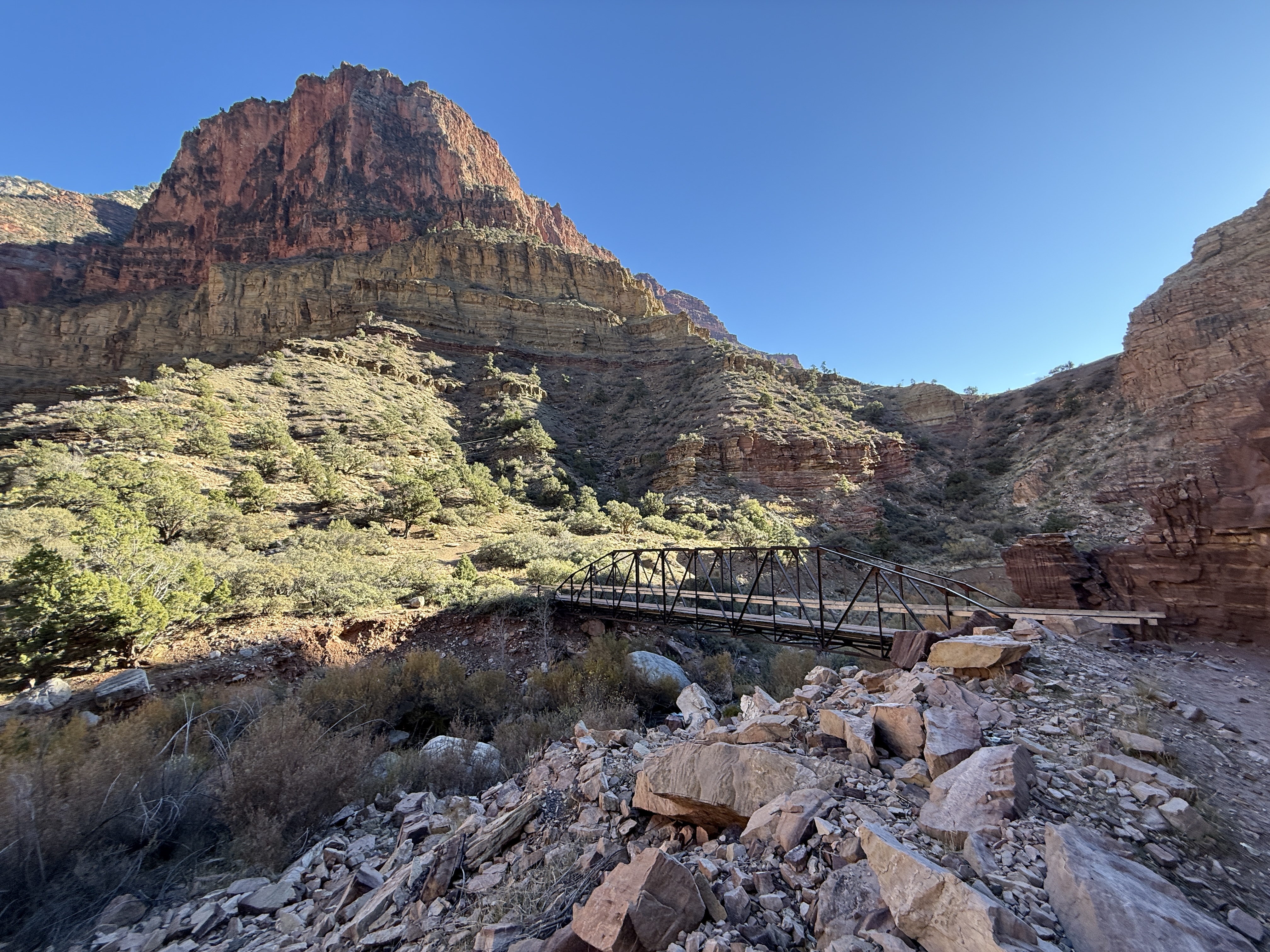
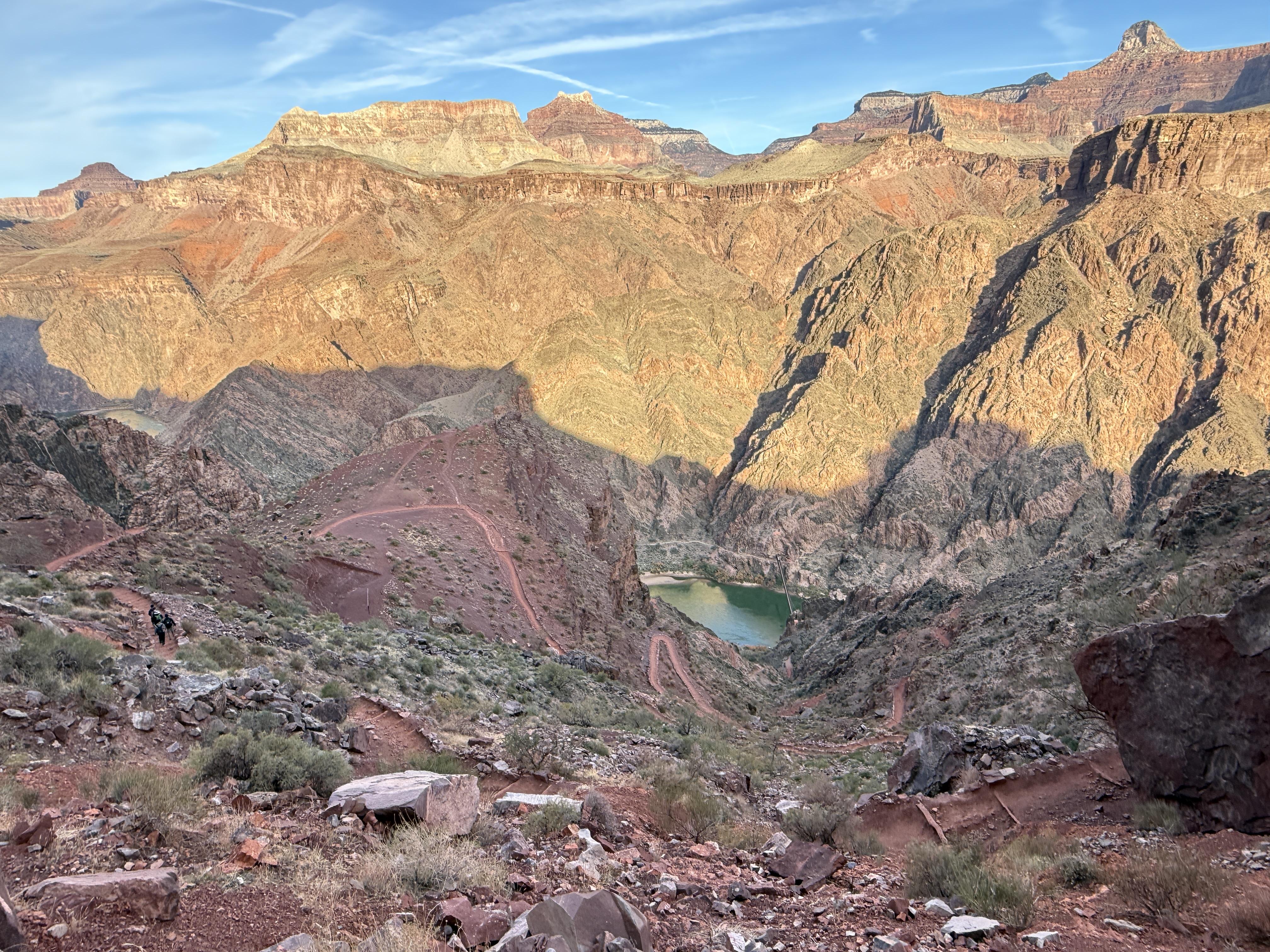
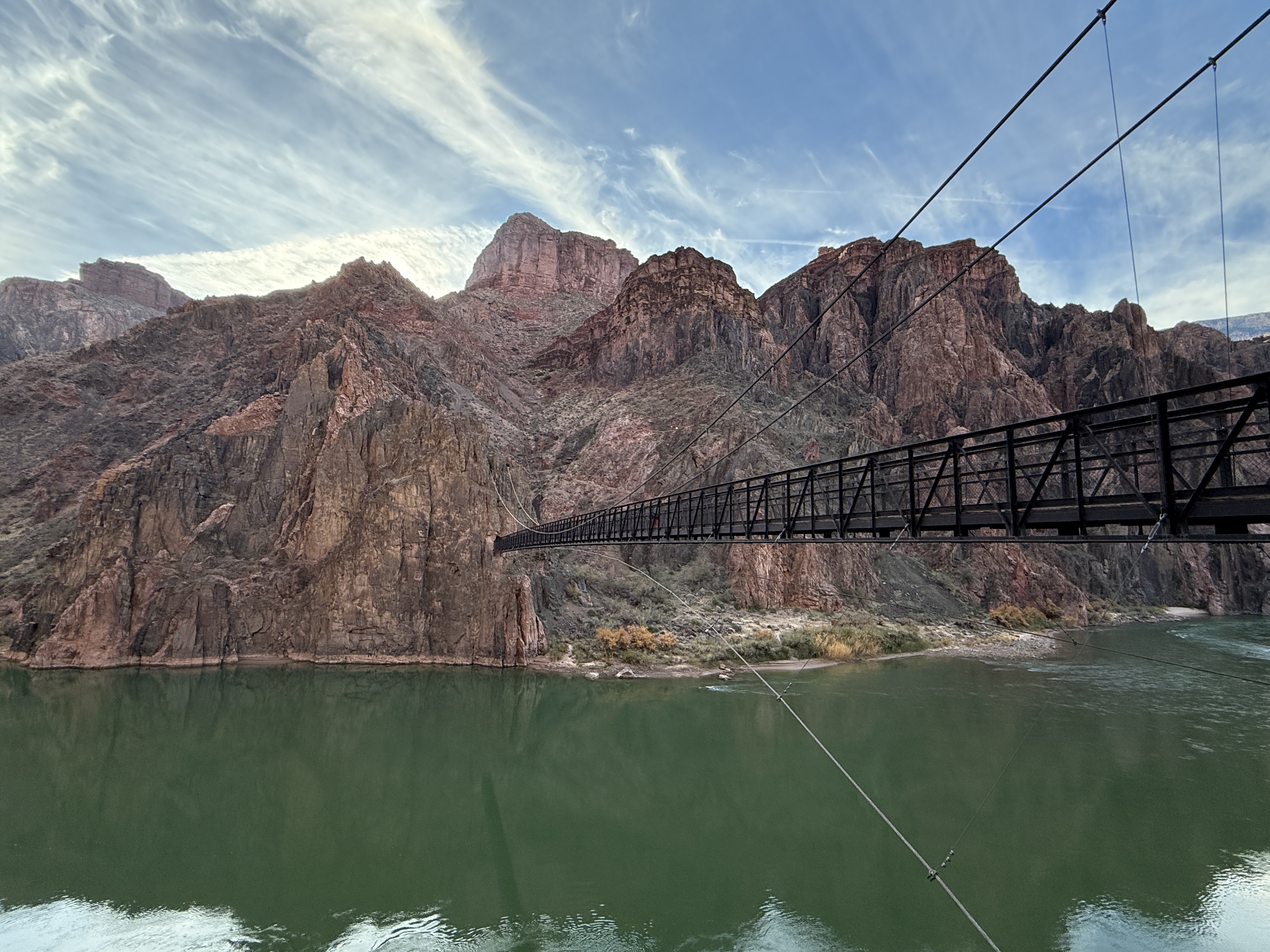
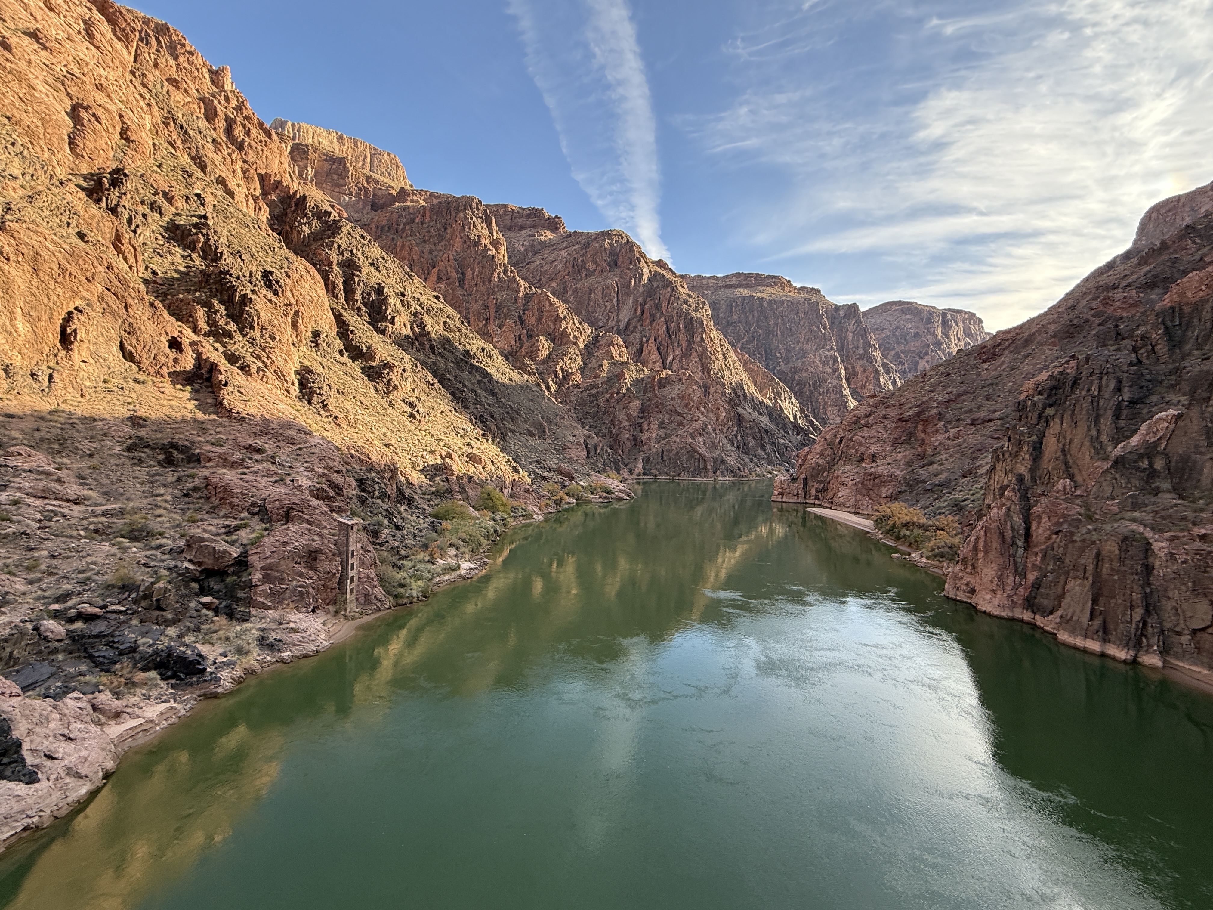
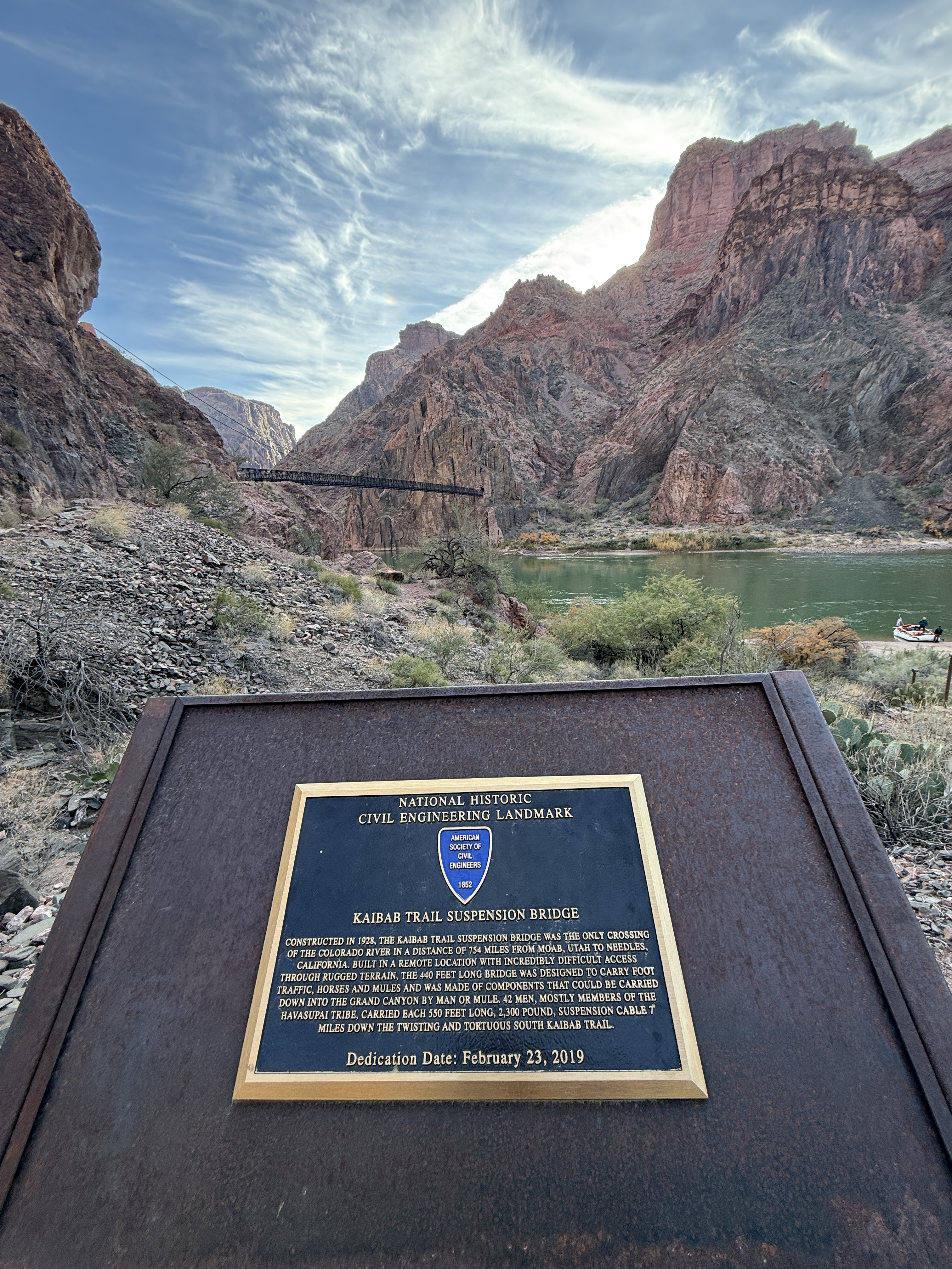
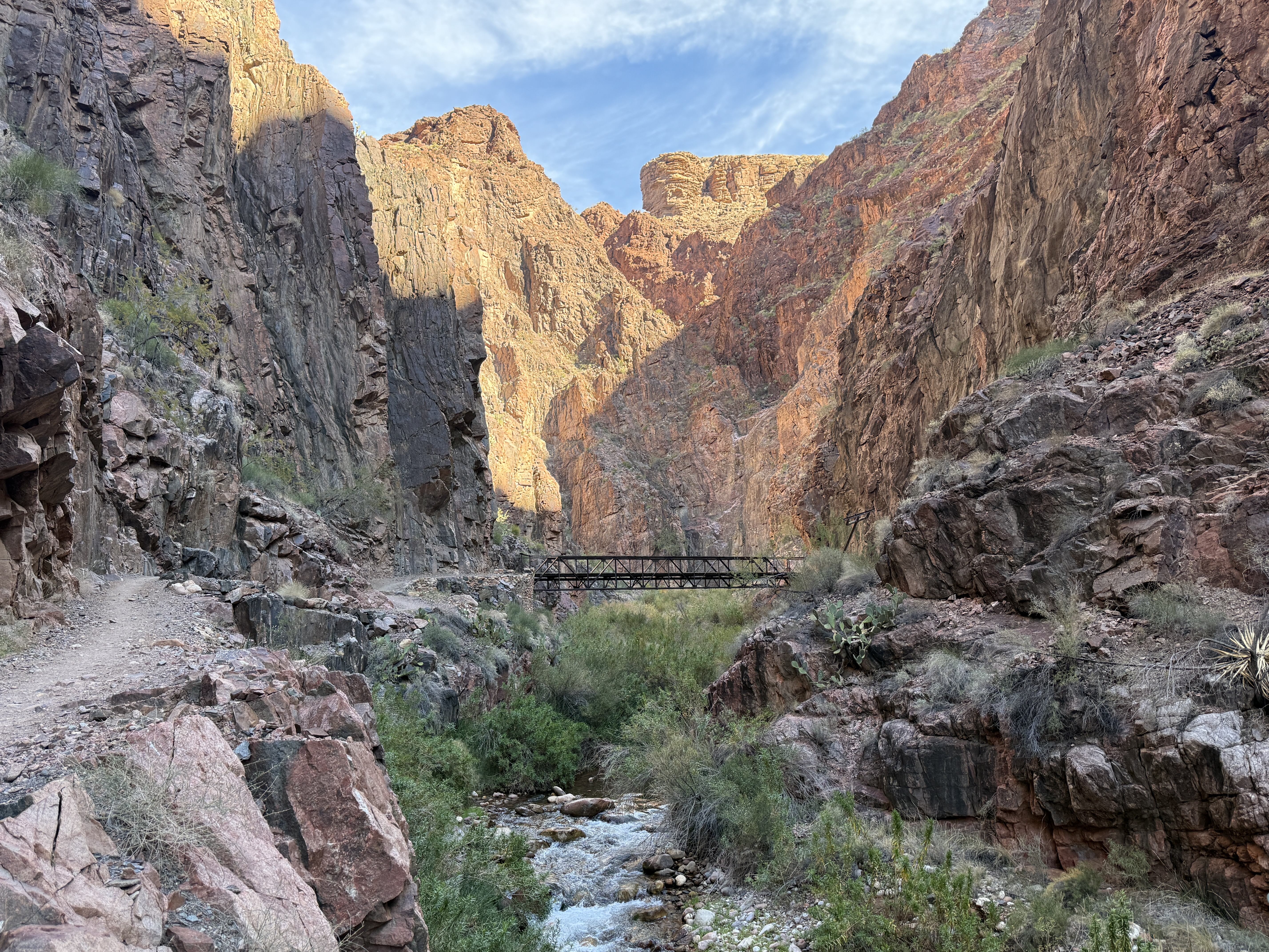
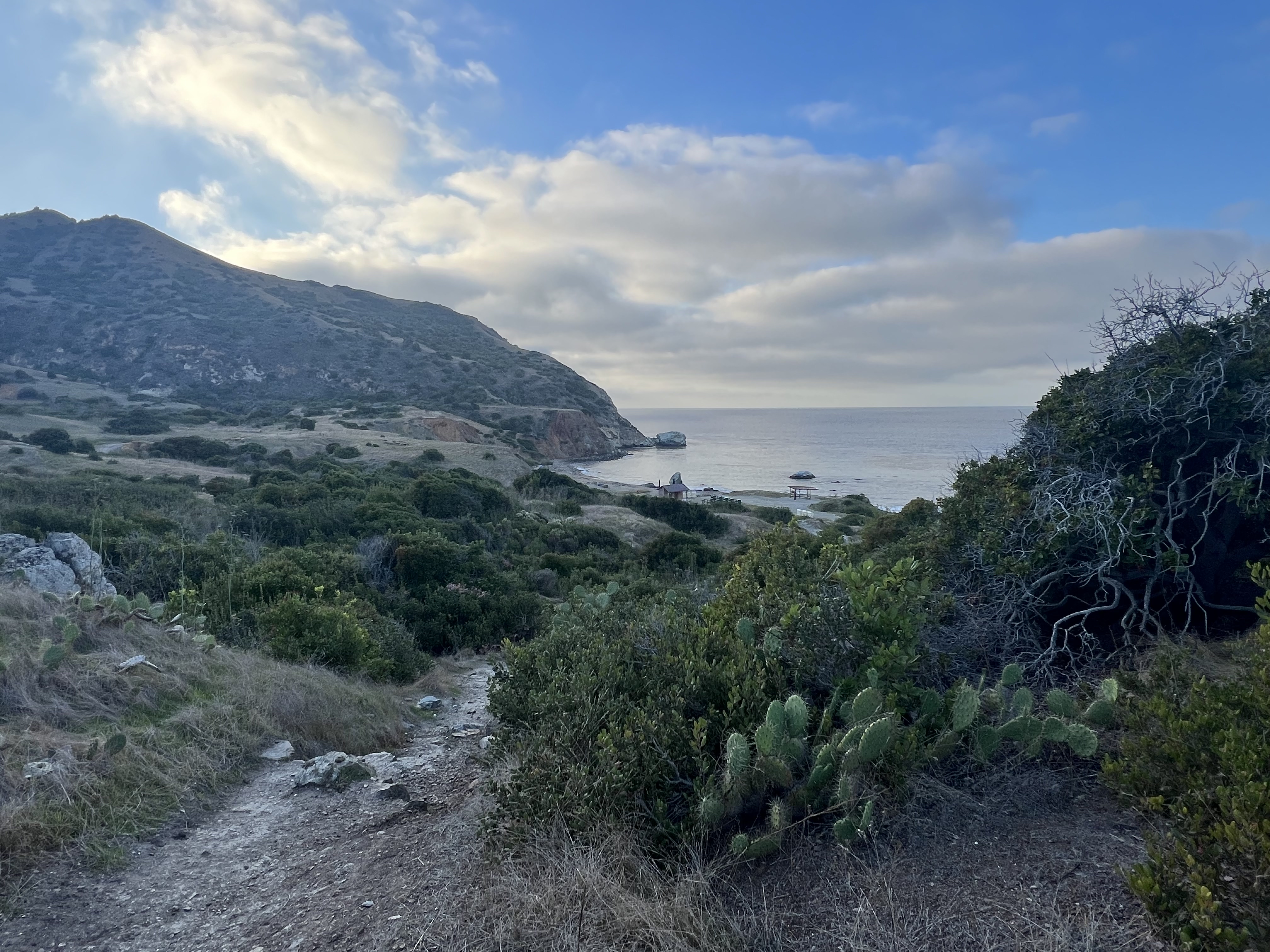
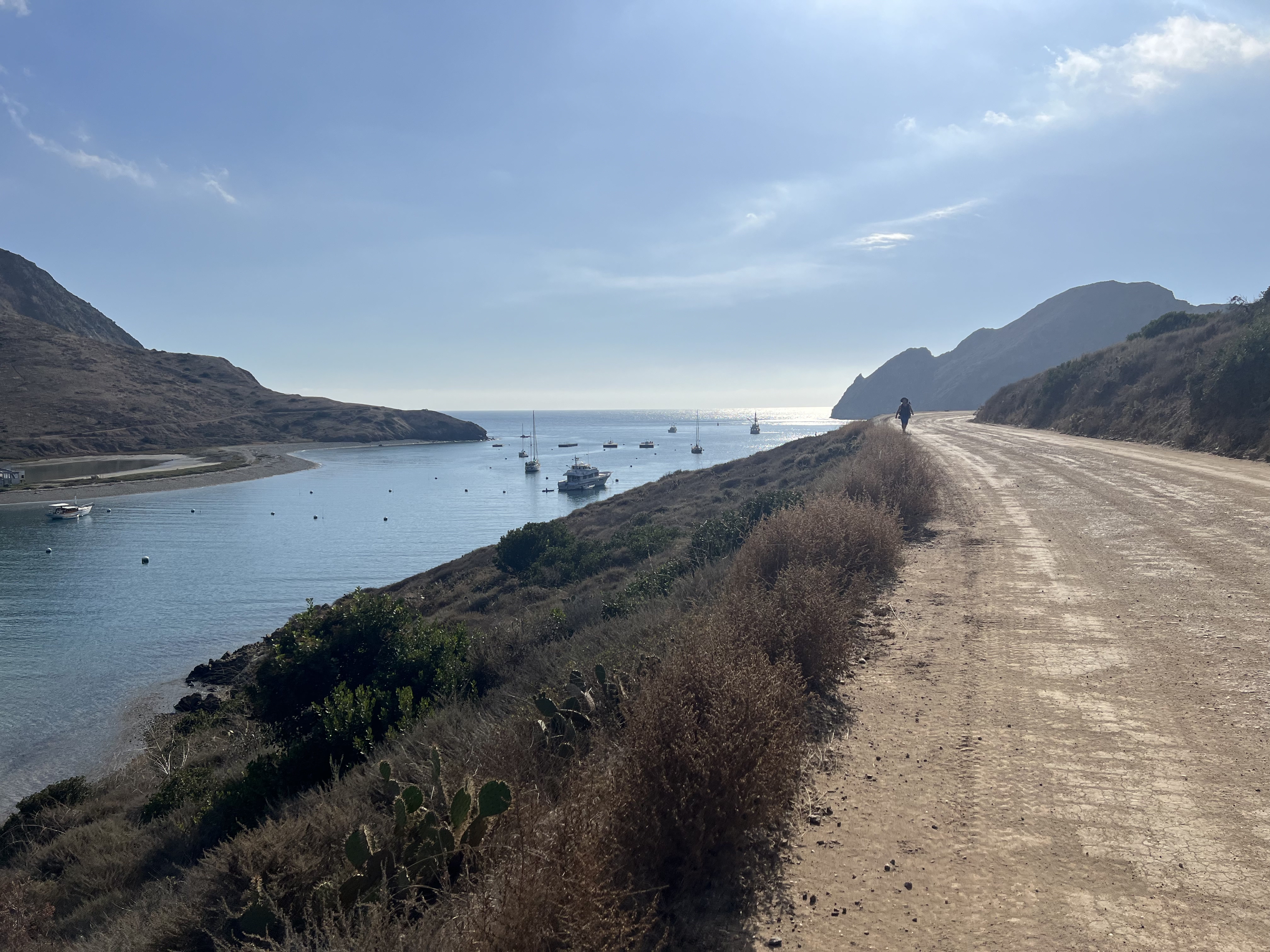
We were both surprised that West End Road has quite a bit of up and down as it travels along the northeast coast of the northern section of island. Passing between two small hills on a gradual incline, we soon reached a gate. Taking a look at our map, we knew we only had one more hill to climb before descending to Parson’s Landing, a short mile away.

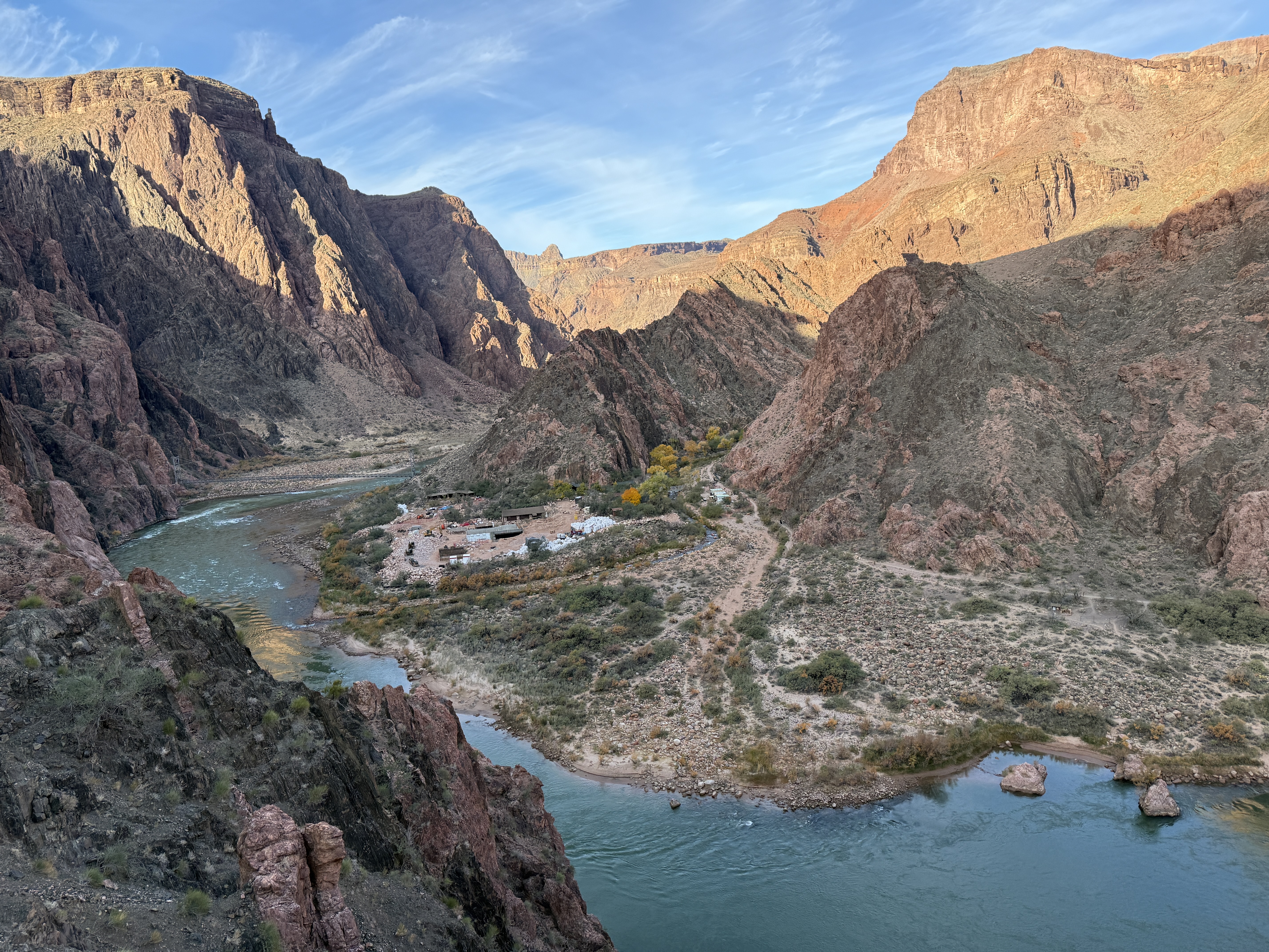
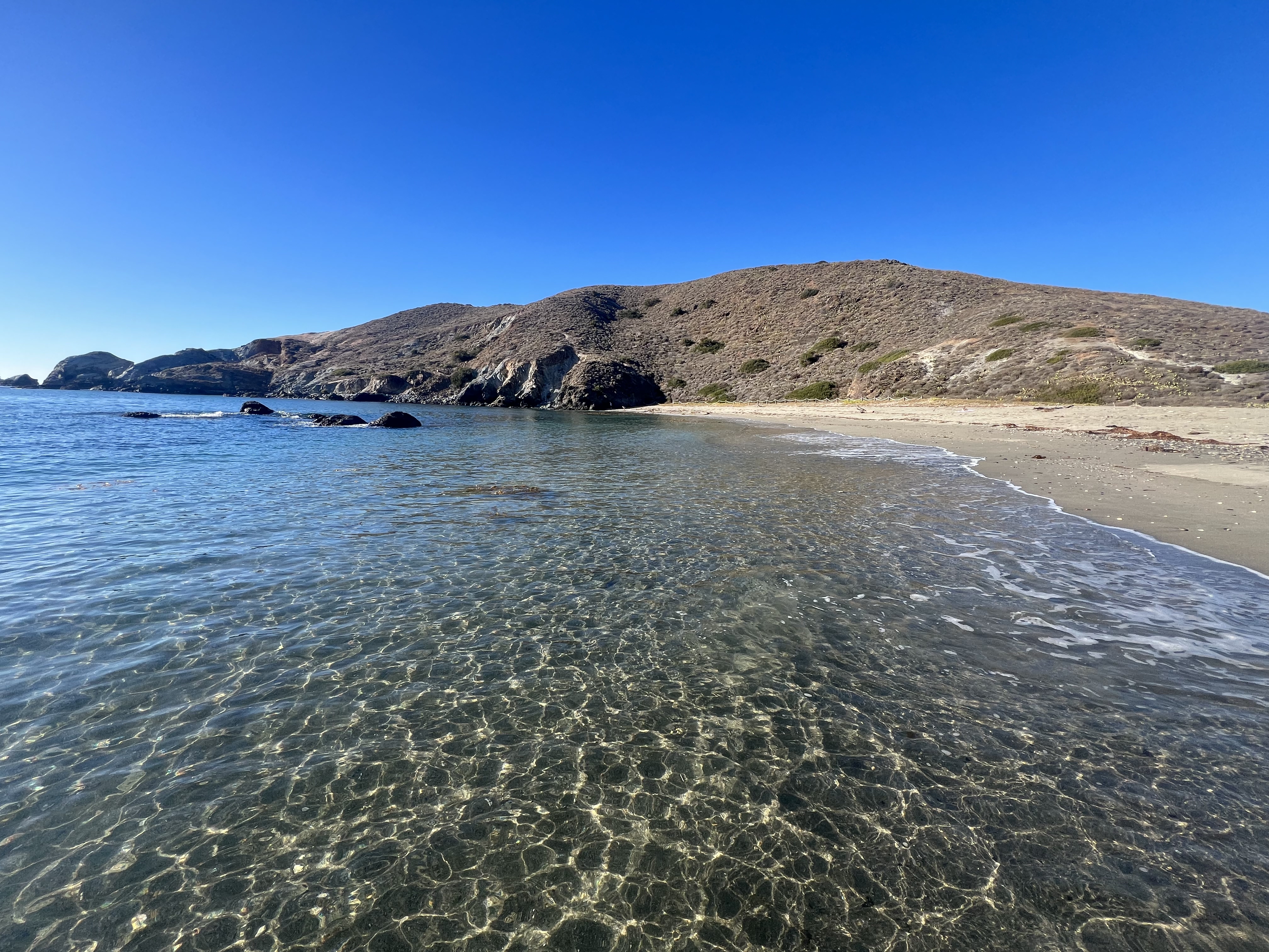
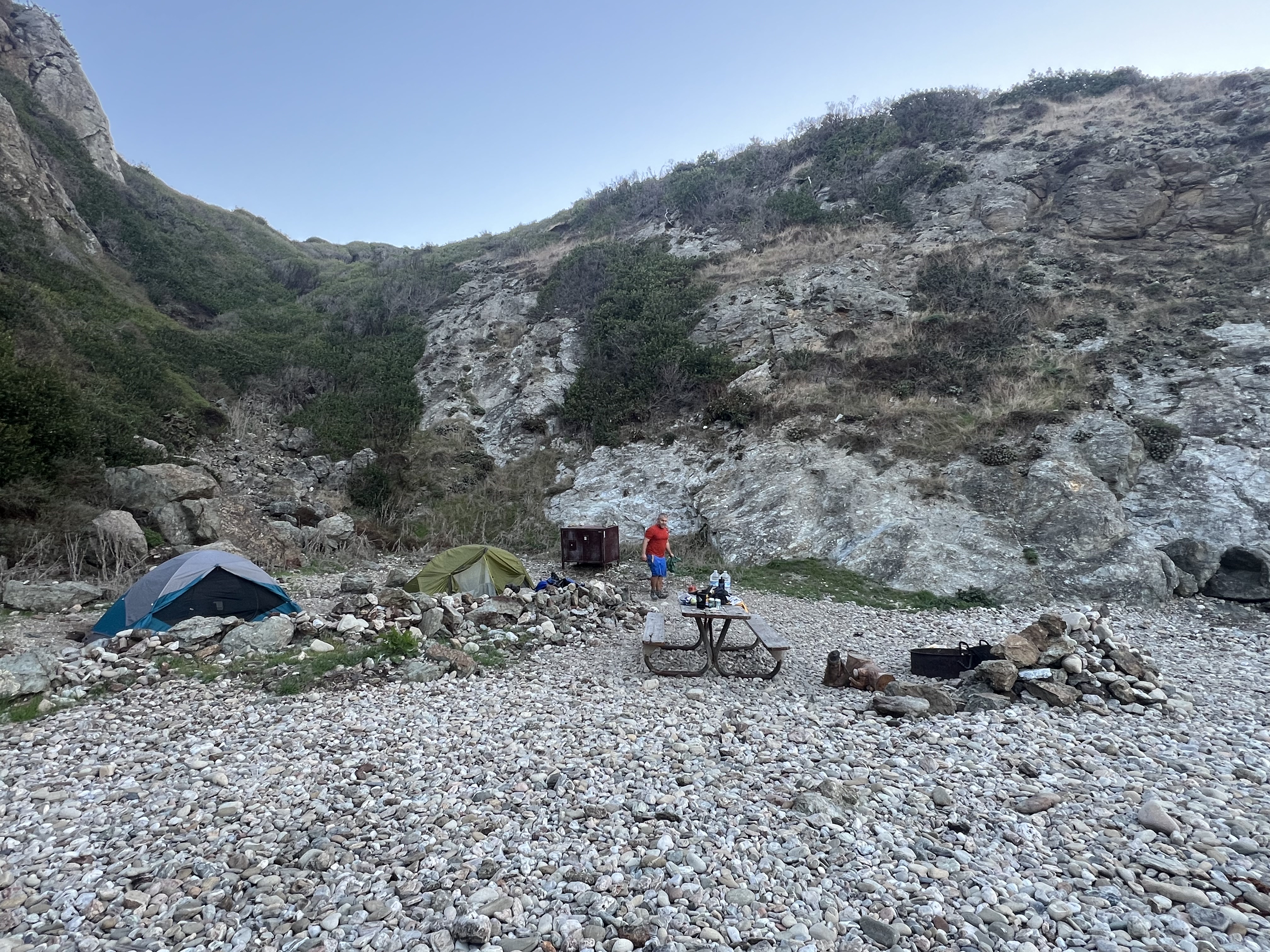
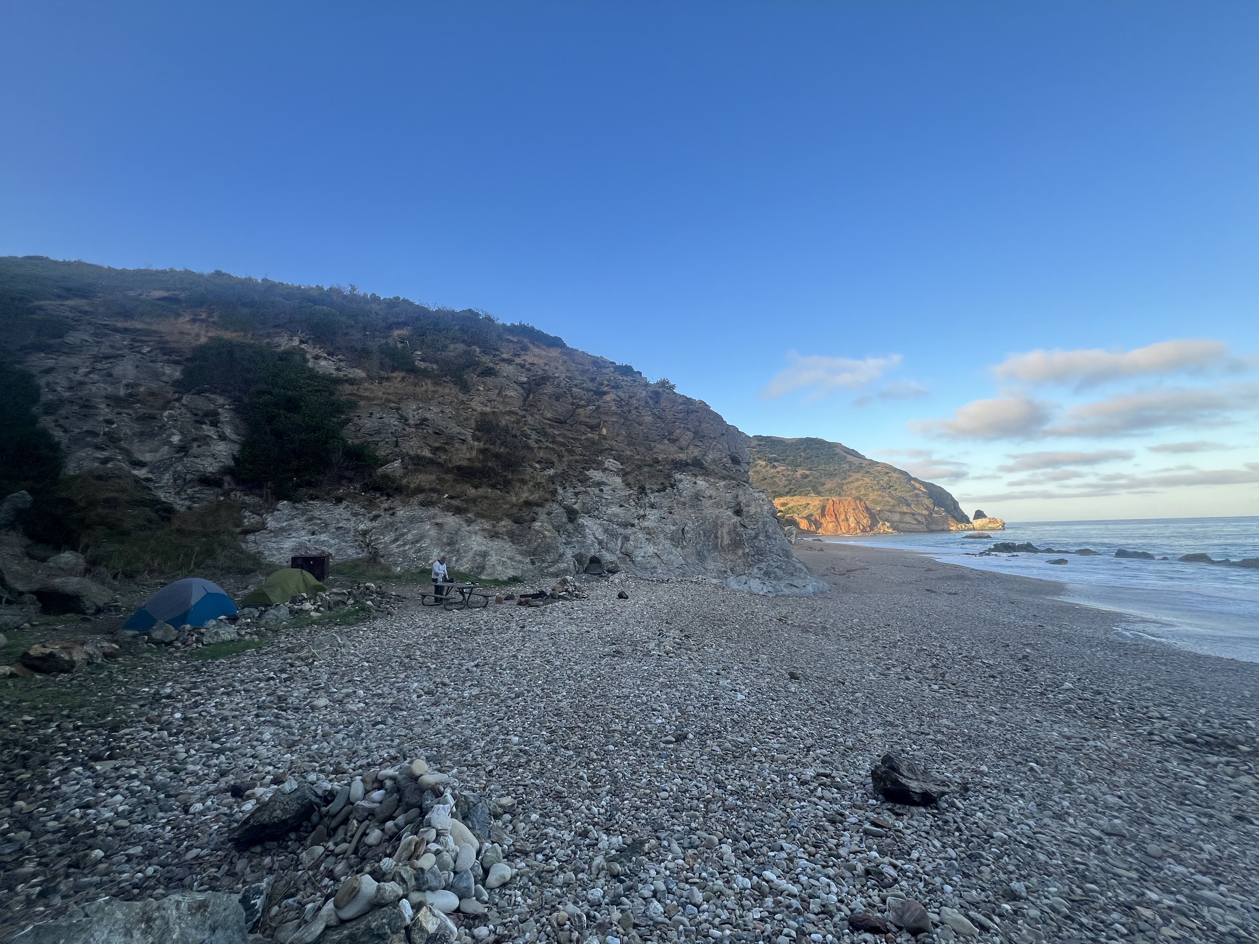
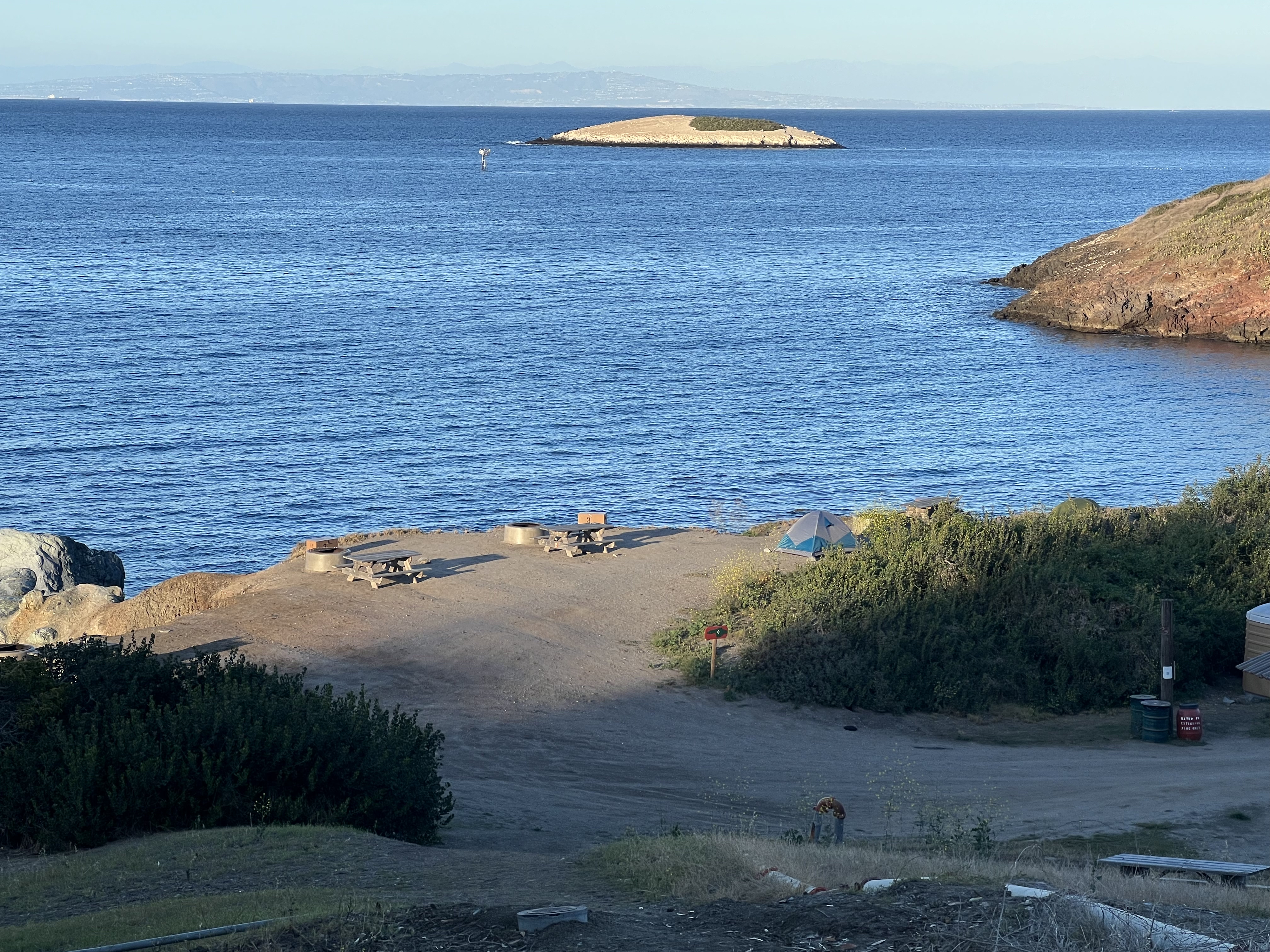
The first view of any campground after a nearly 14-mile day is always an extraordinary sight, but this view particular would have been spectacular after just a short walk. We were soon at sea level, only a few hours after departing Two Harbors, a pit toilet building and the lockers welcoming us to Parson’s. Jason grabbed his gear out of the locker, but I would come back for my water and wood after I dropped my pack at camp. I had to use the facilities anyway and a short, unweighted walk would be a nice change from humping a heavy pack all day.

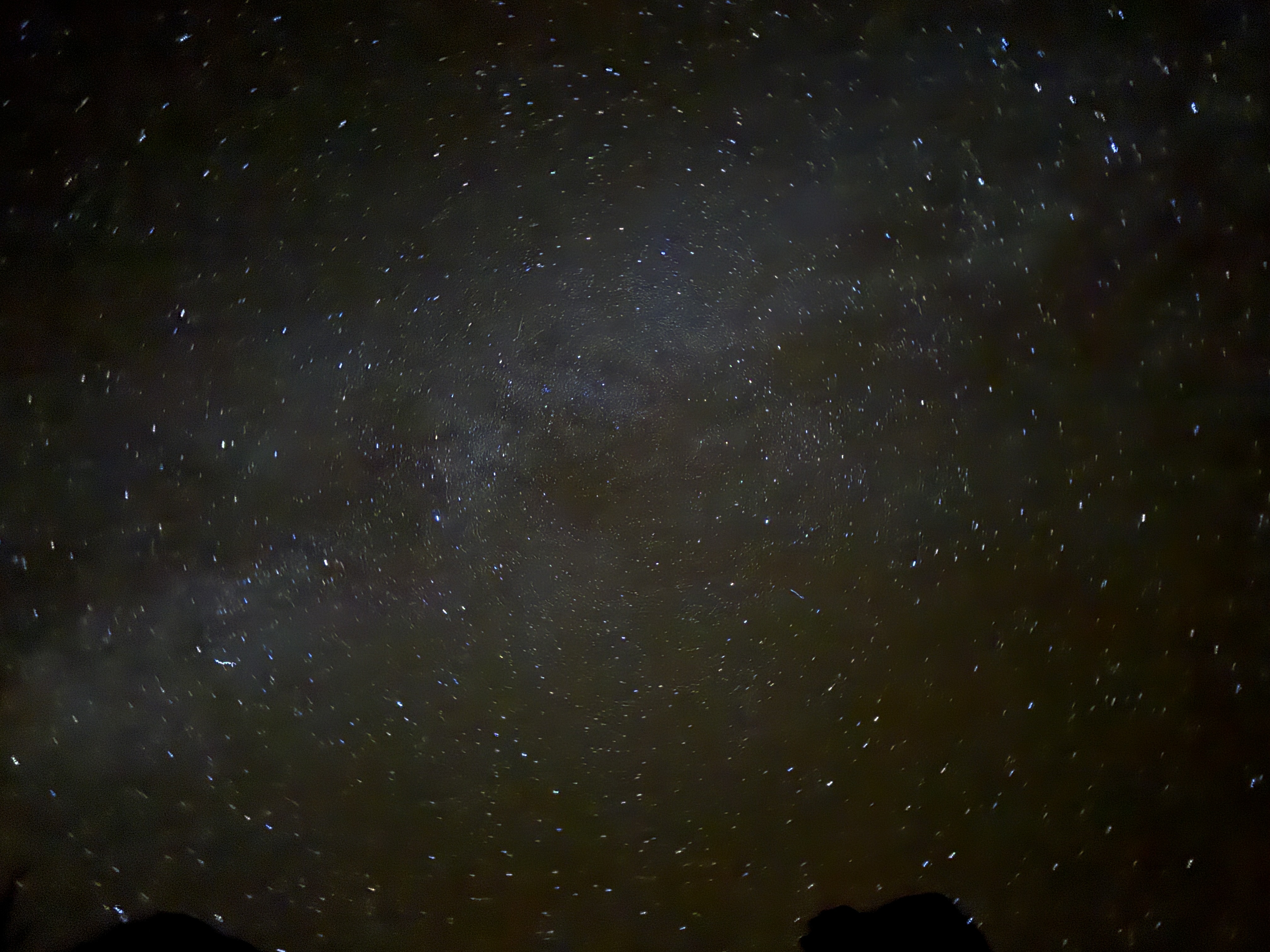
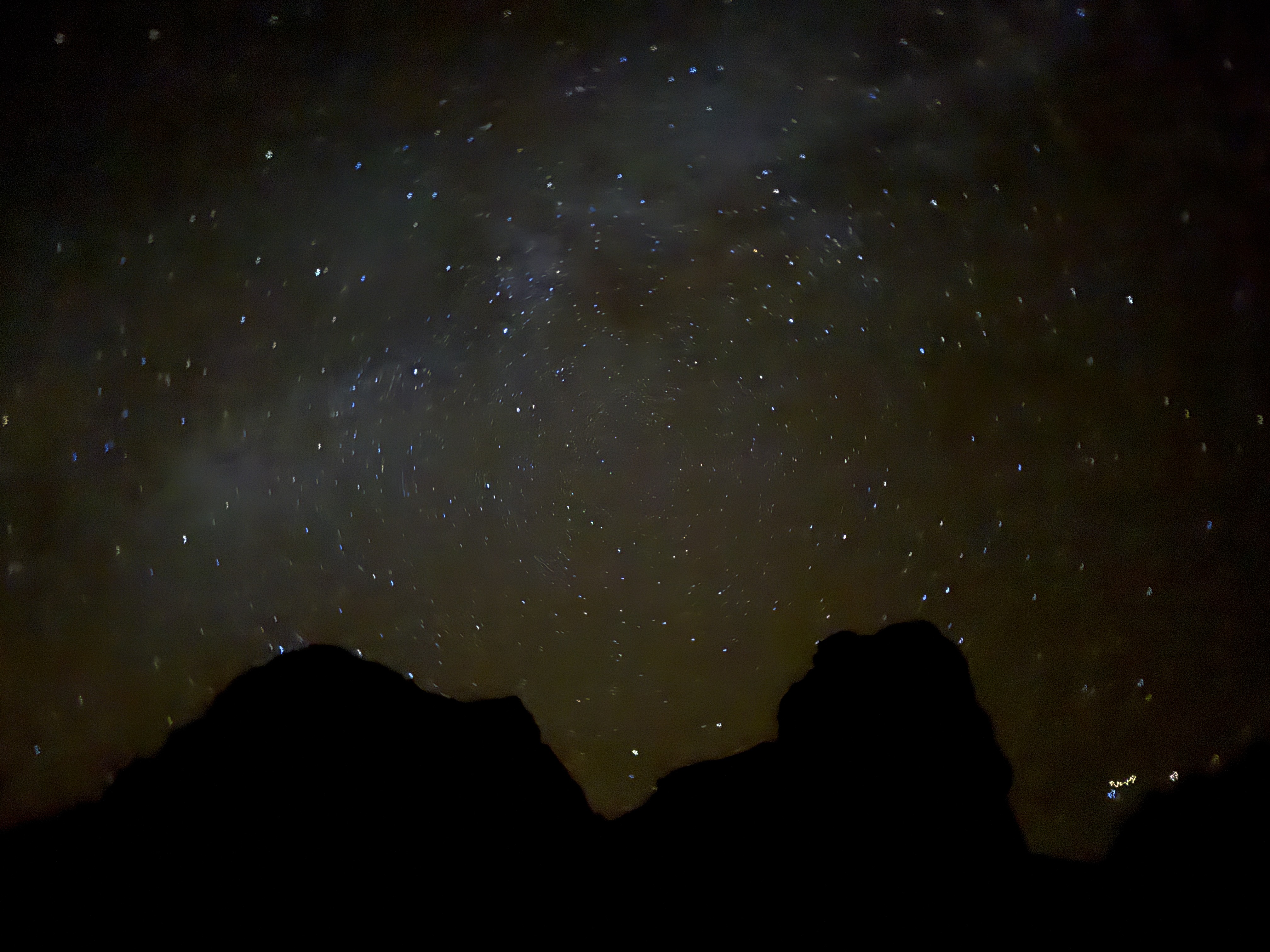
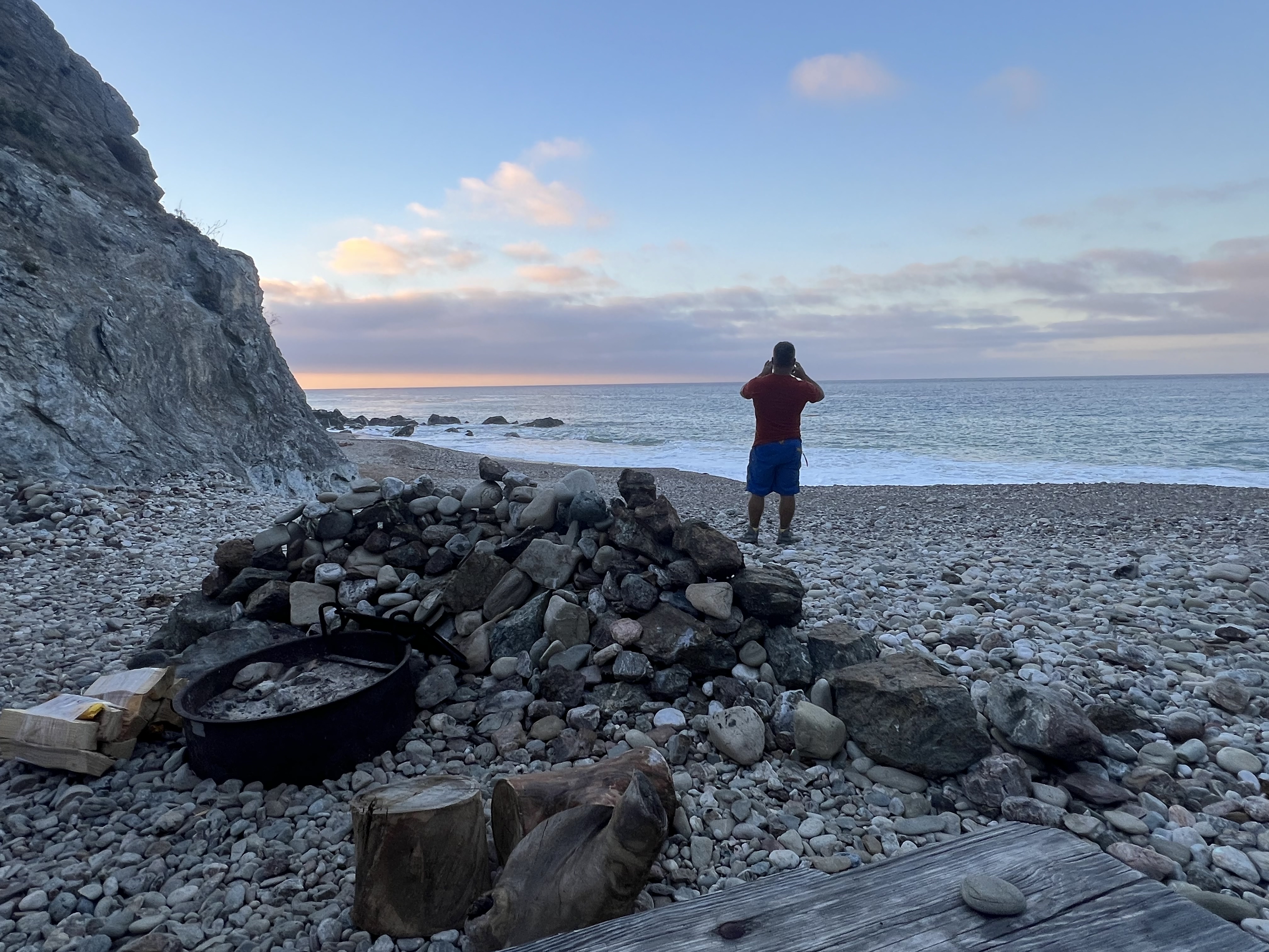
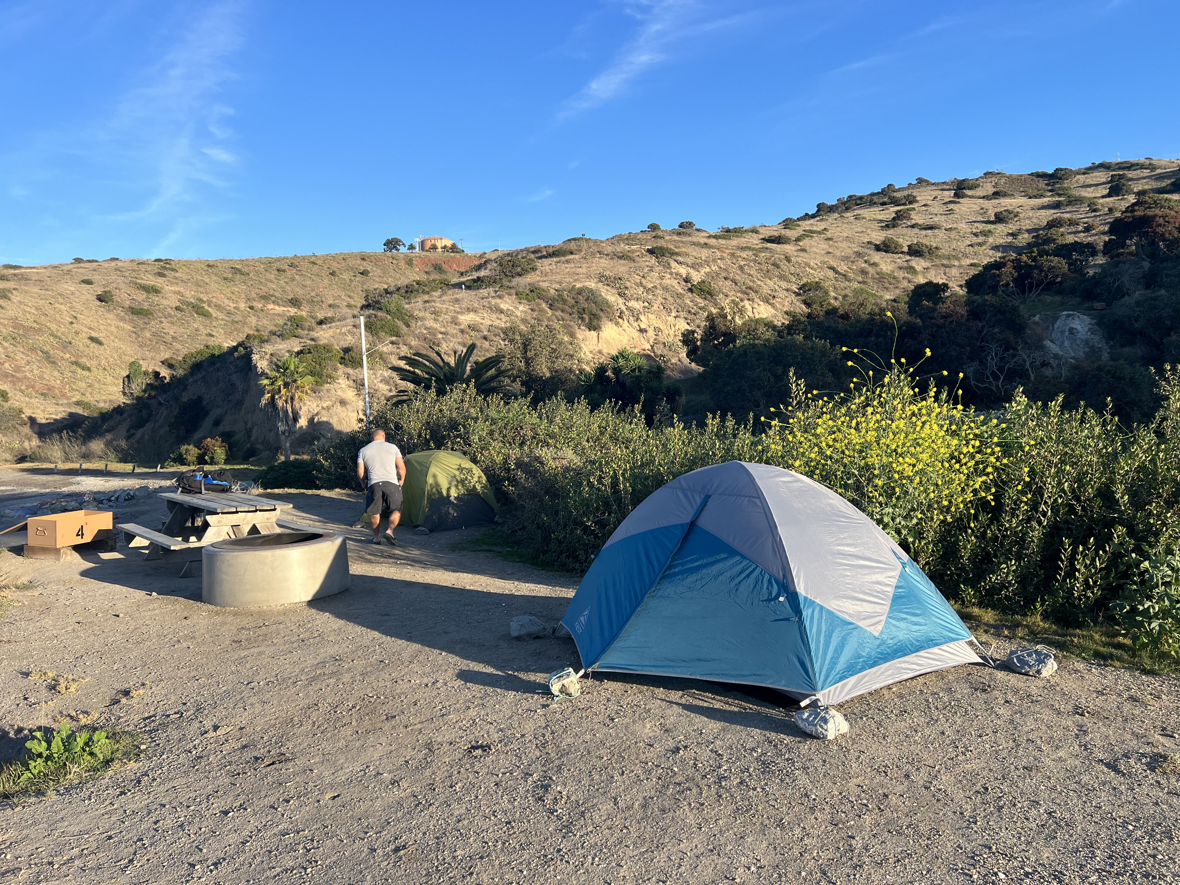
I had booked the campsite furthest to the east, a bit of a walk from the facilities, but with extra privacy, tucked into a small hamlet, rock walls rising up around us. Finishing off the day with a stunning sunset and a campfire, we talked about the trip so far, about how gorgeous this campsite is and about whether or not we would do the north loop to Starlight Beach the following day, or just head south, back to Two Harbors. We would see how we felt in the morning.
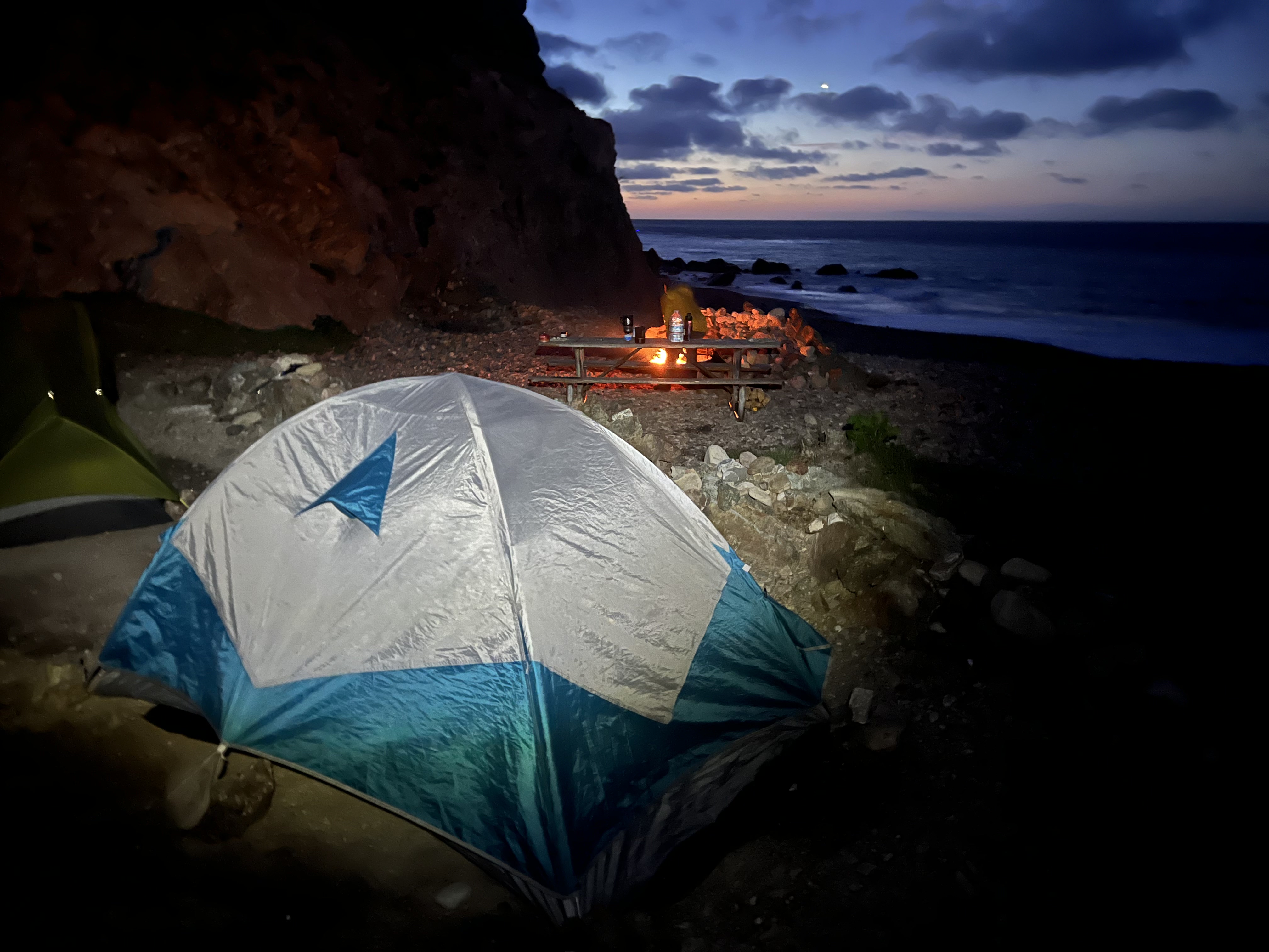
I once again slept comfortably, still wearing all of my clothes into my sleeping bag, a little sad that I hadn’t booked this campsite for two nights. I resolved to come back and stay here again.
Day 4
7.3 Miles, +2,183′
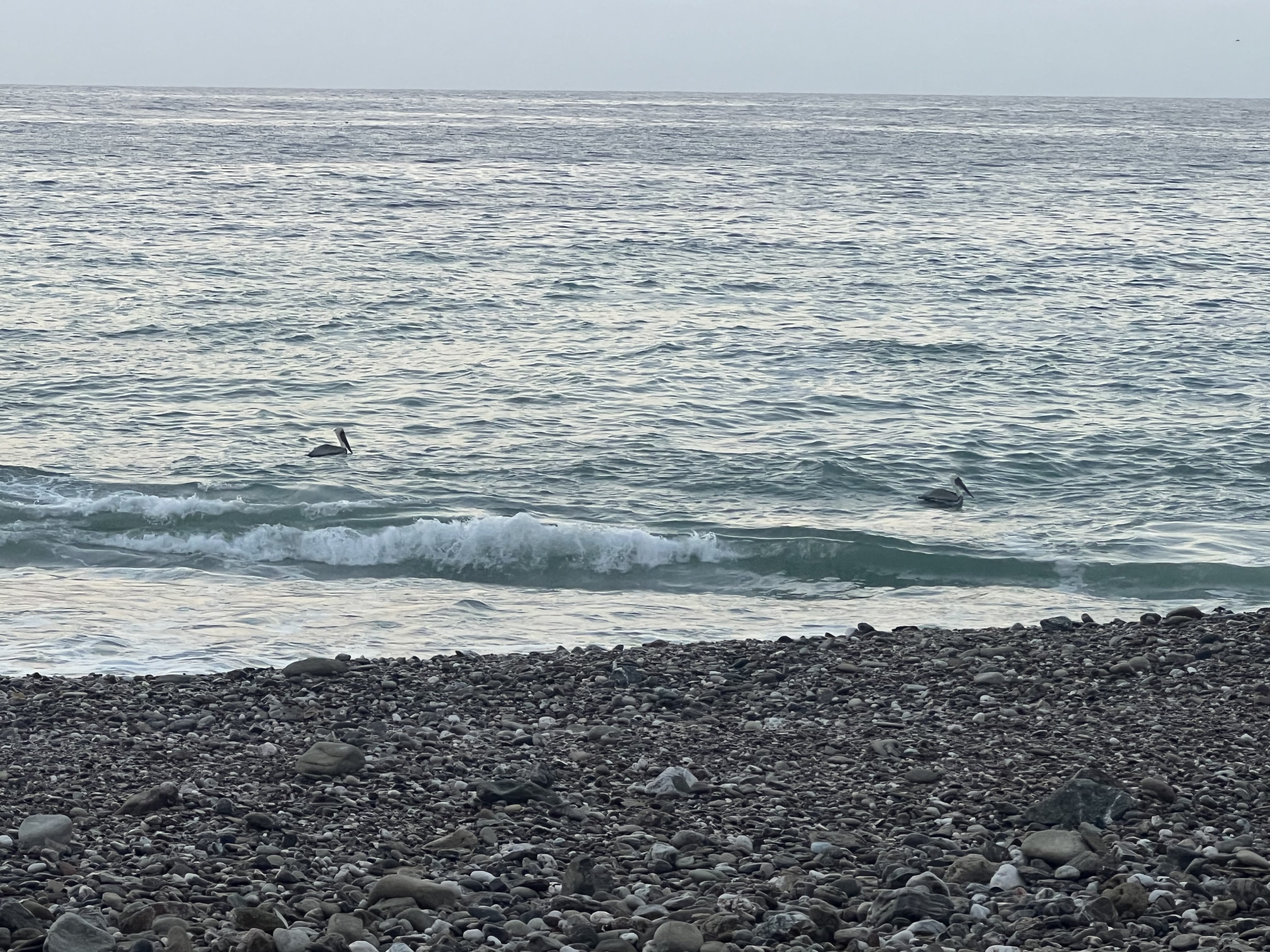
We were up early having coffee and breakfast with a flock of pelicans, ready to tackle the last leg of the trip. We were feeling good but were looking forward to a shower and restaurant meal after already traveling nearly 35 miles on foot. We decided to save the northern loop for next time. It would add almost 6 miles, not too bad of a distance, but we were not feeling the extra 2,000′ of elevation gain.

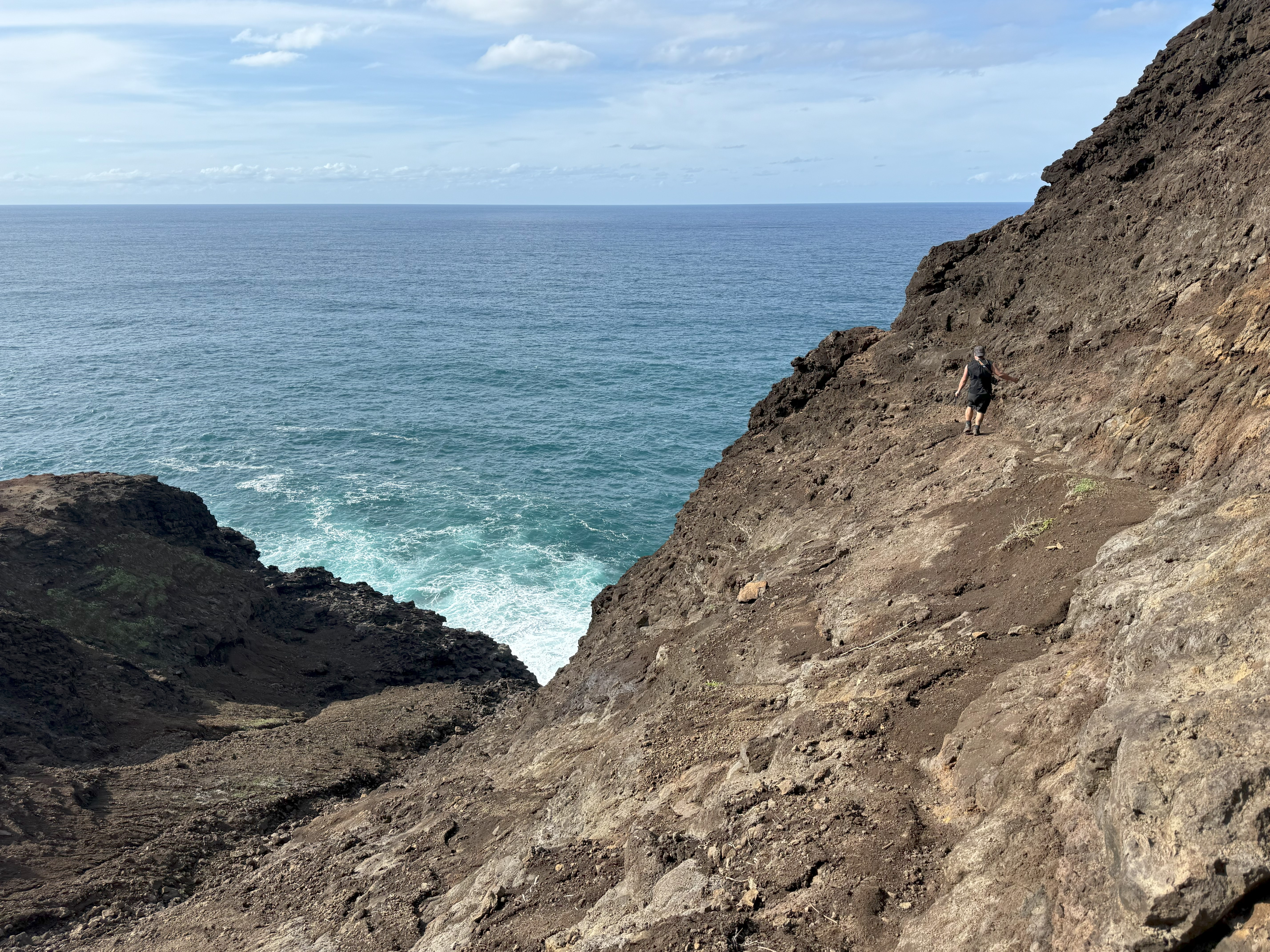
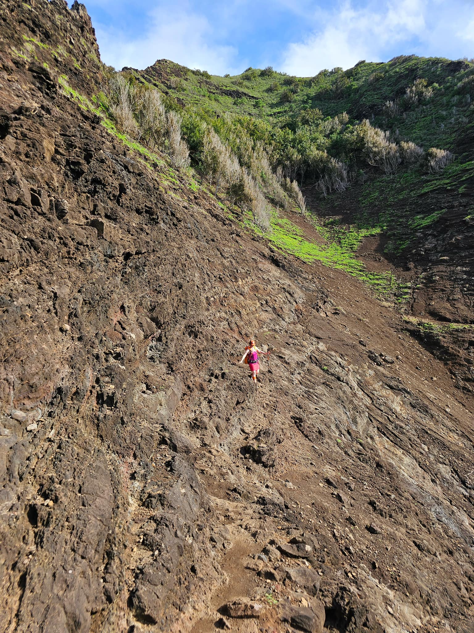
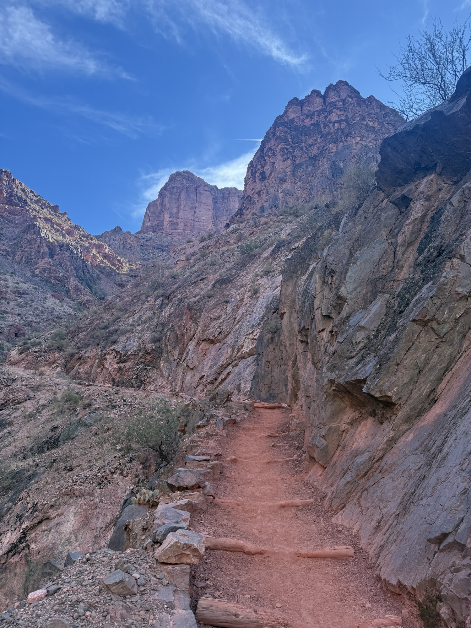
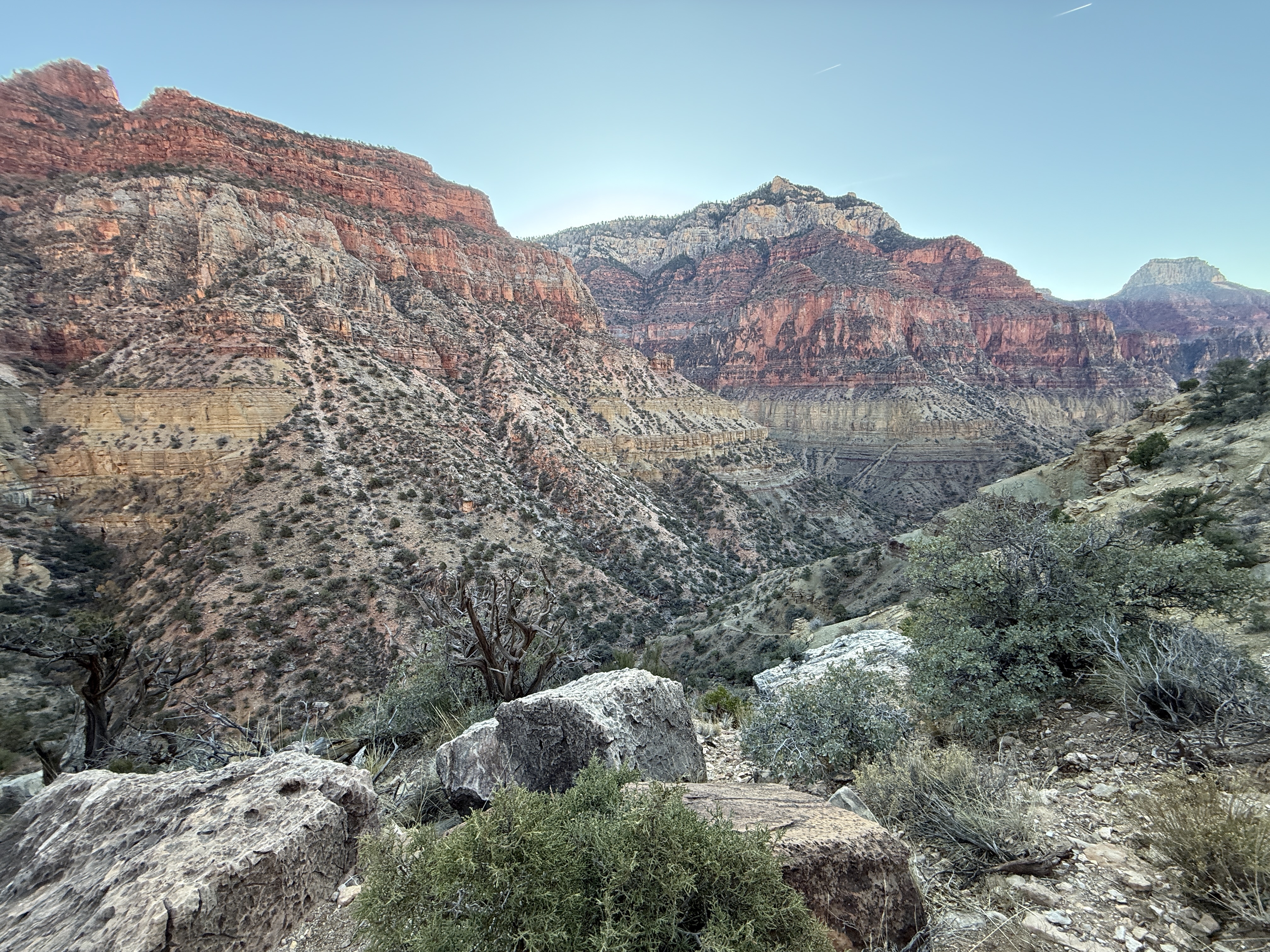
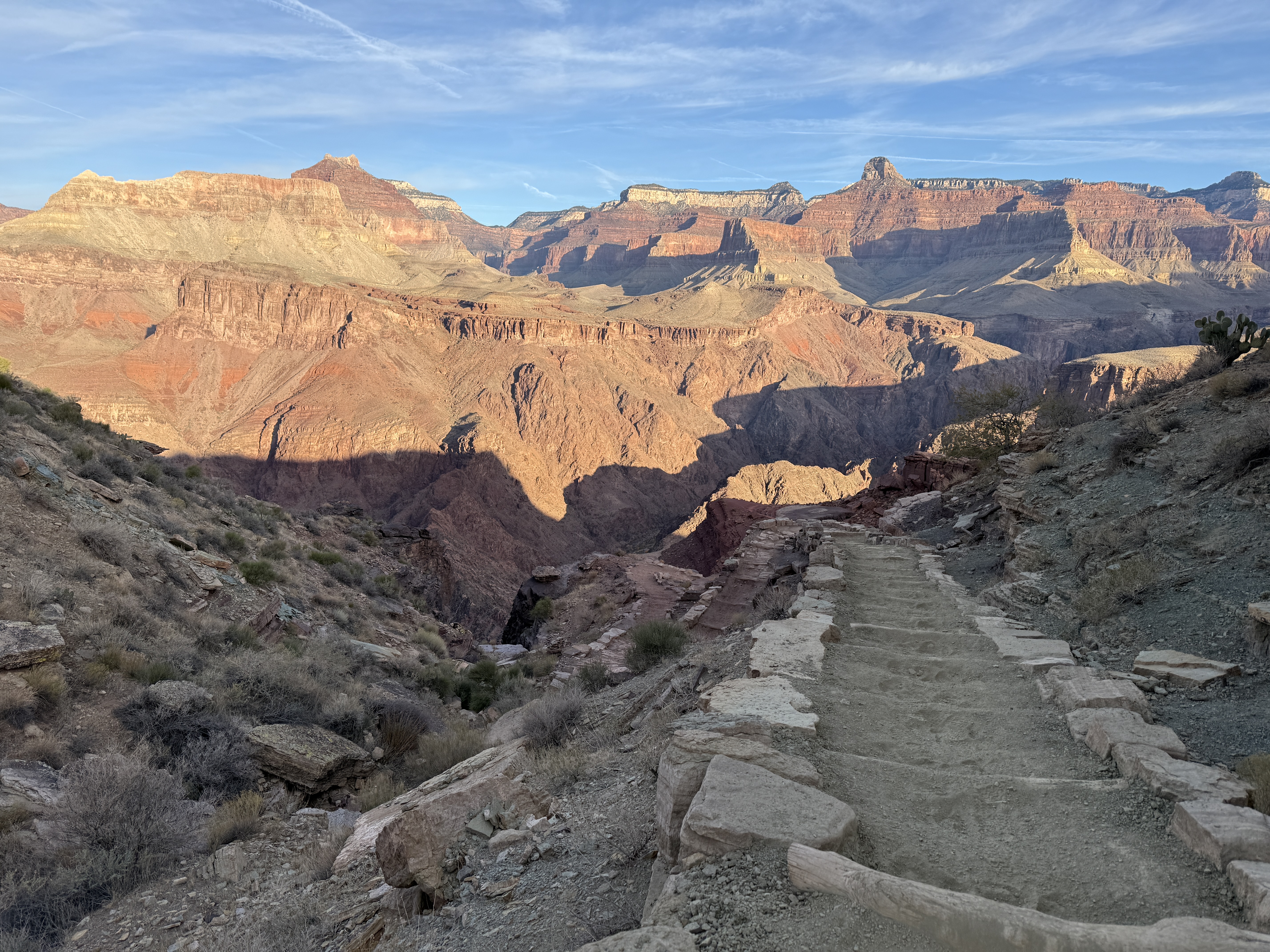
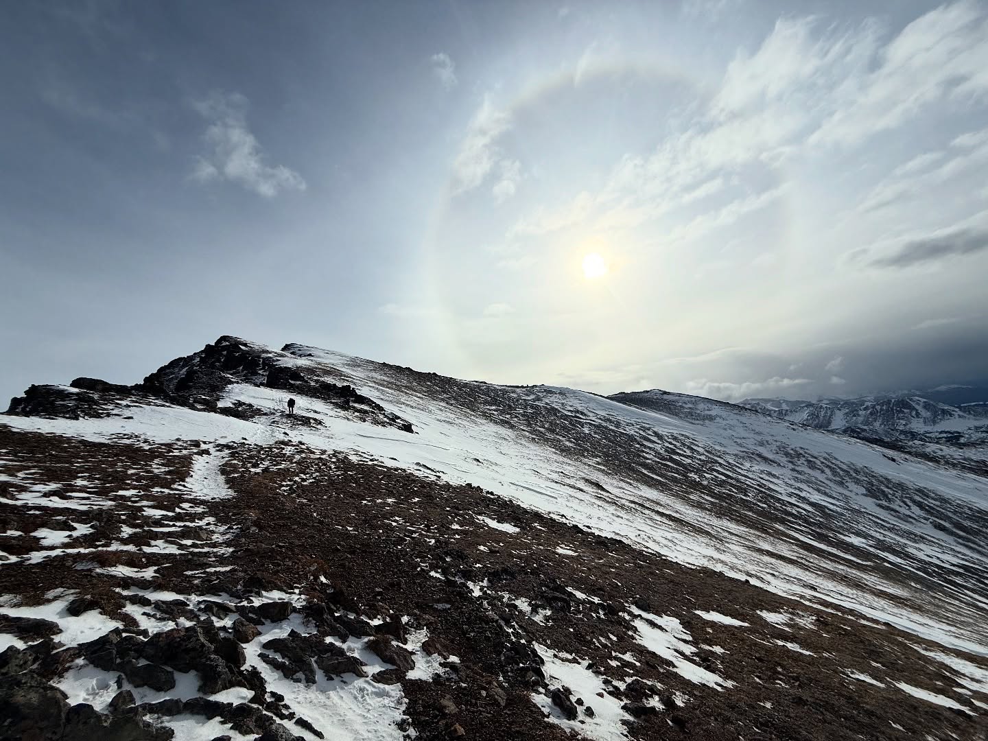
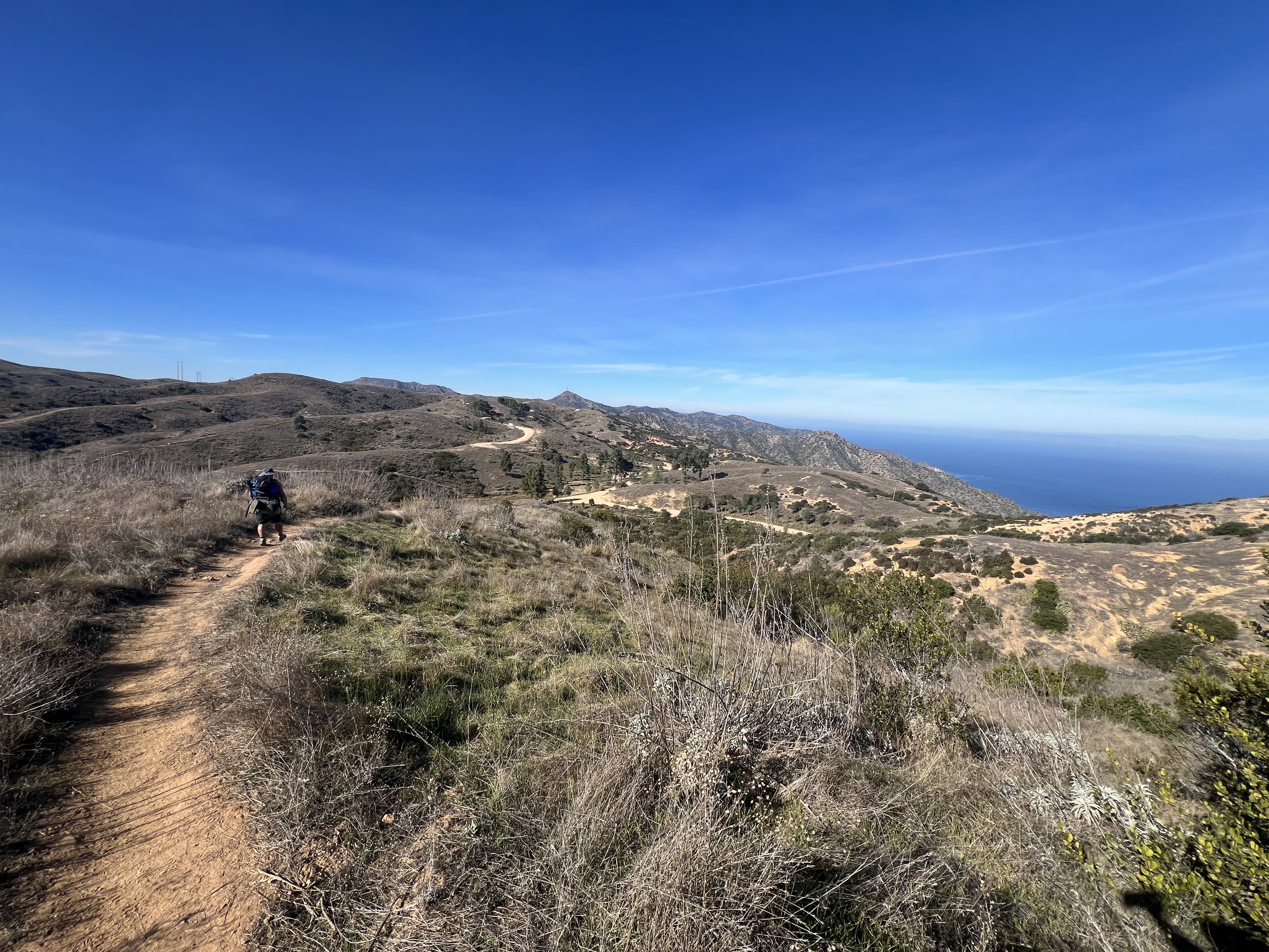
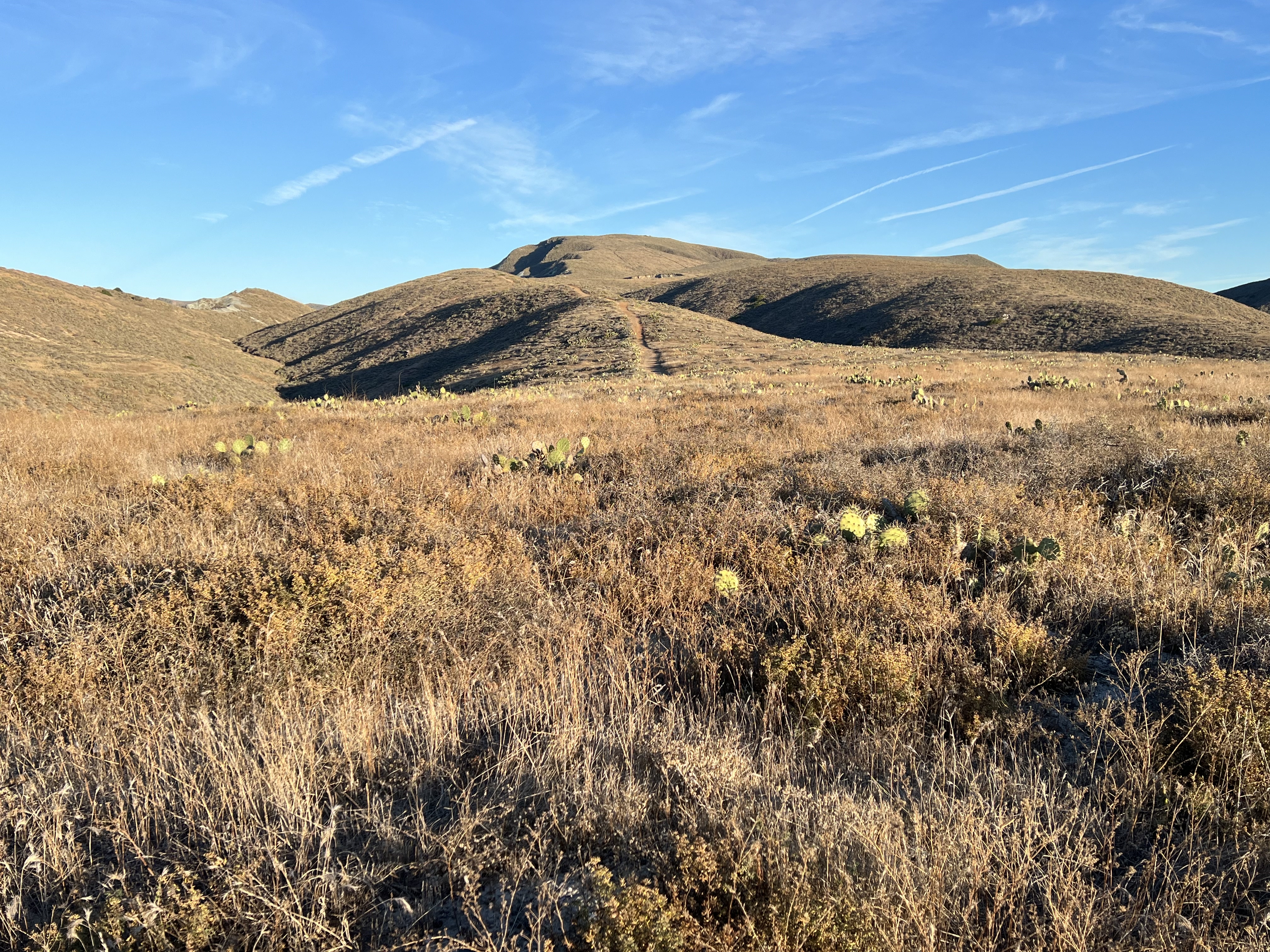
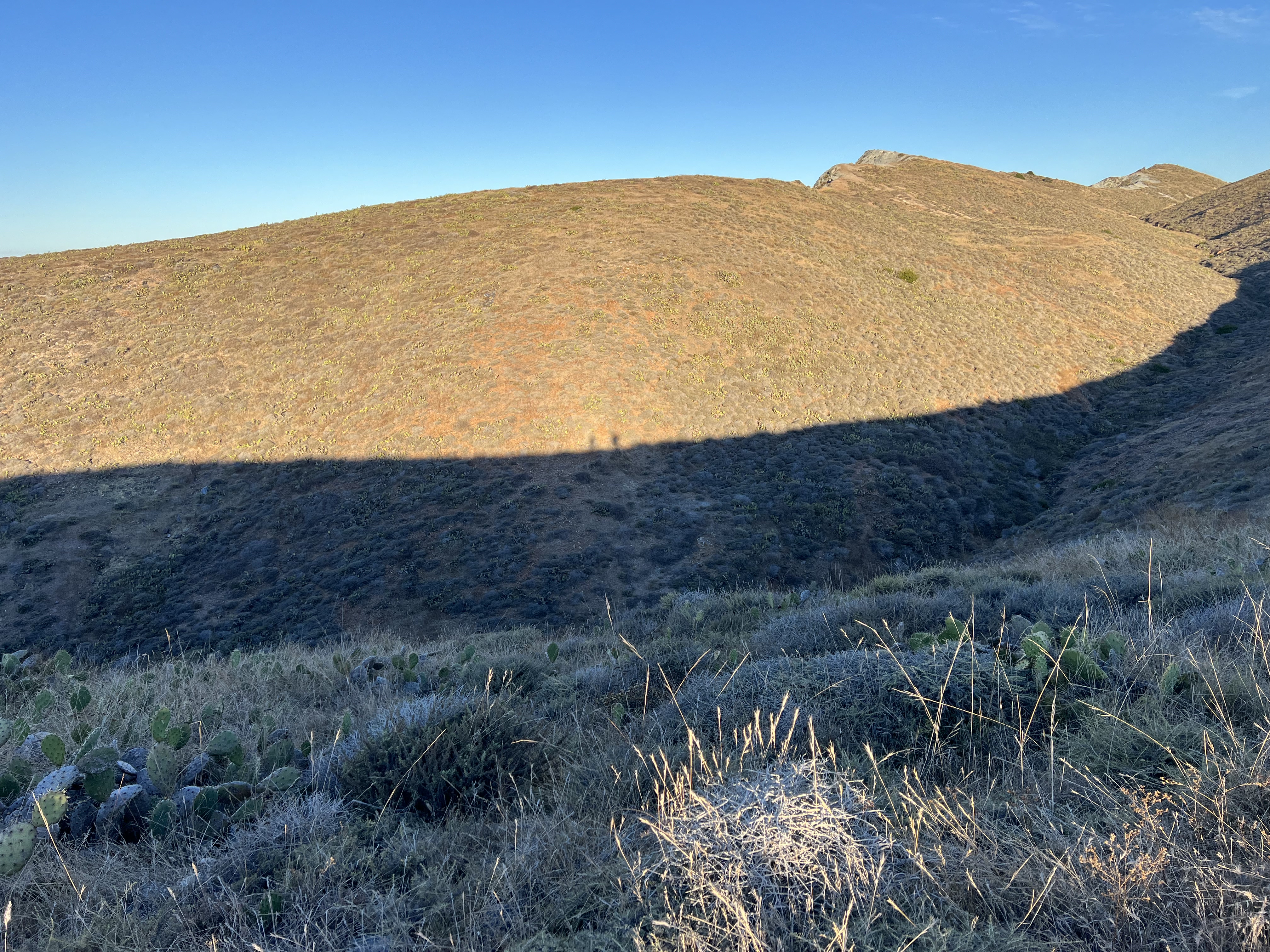
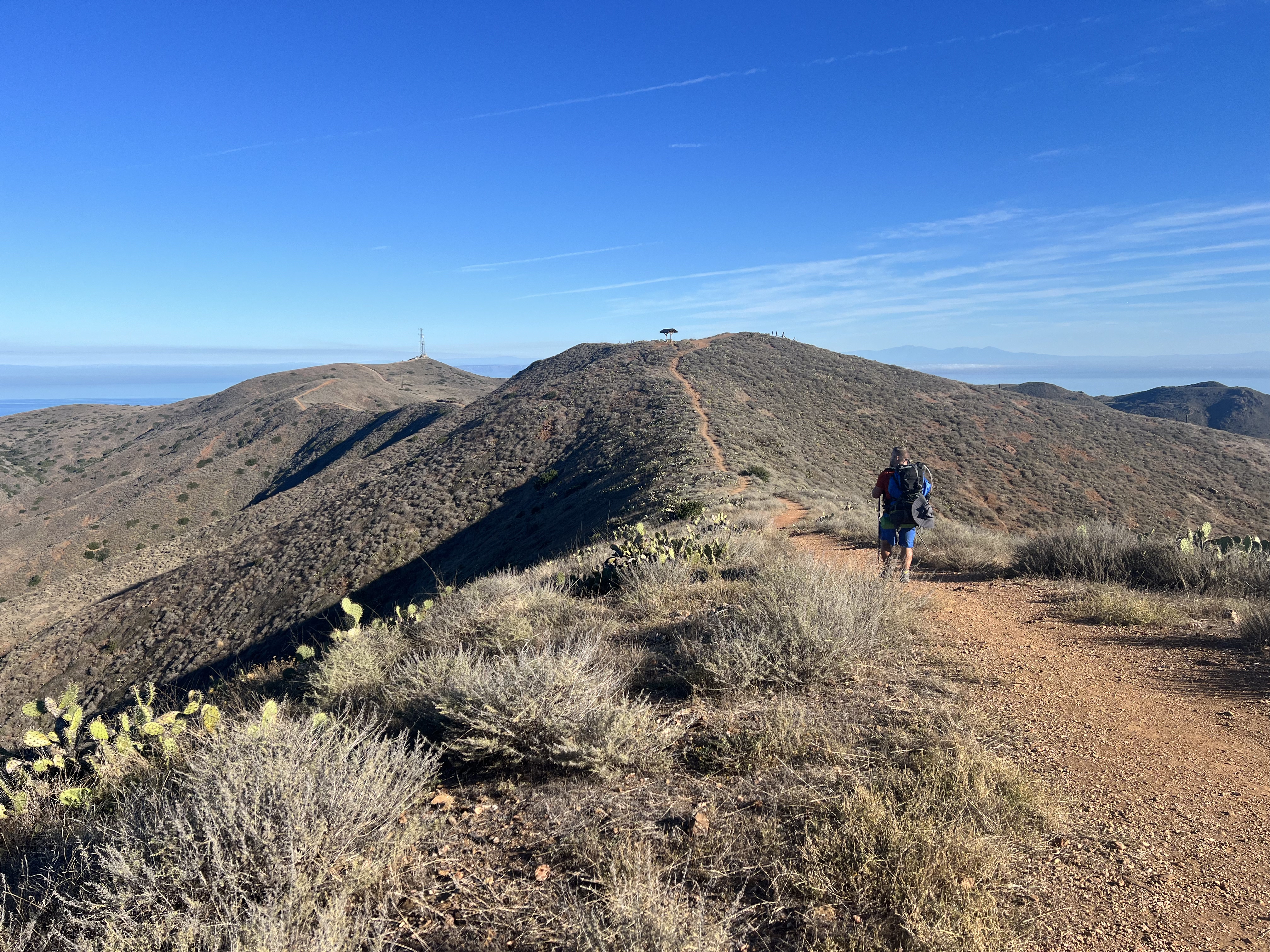
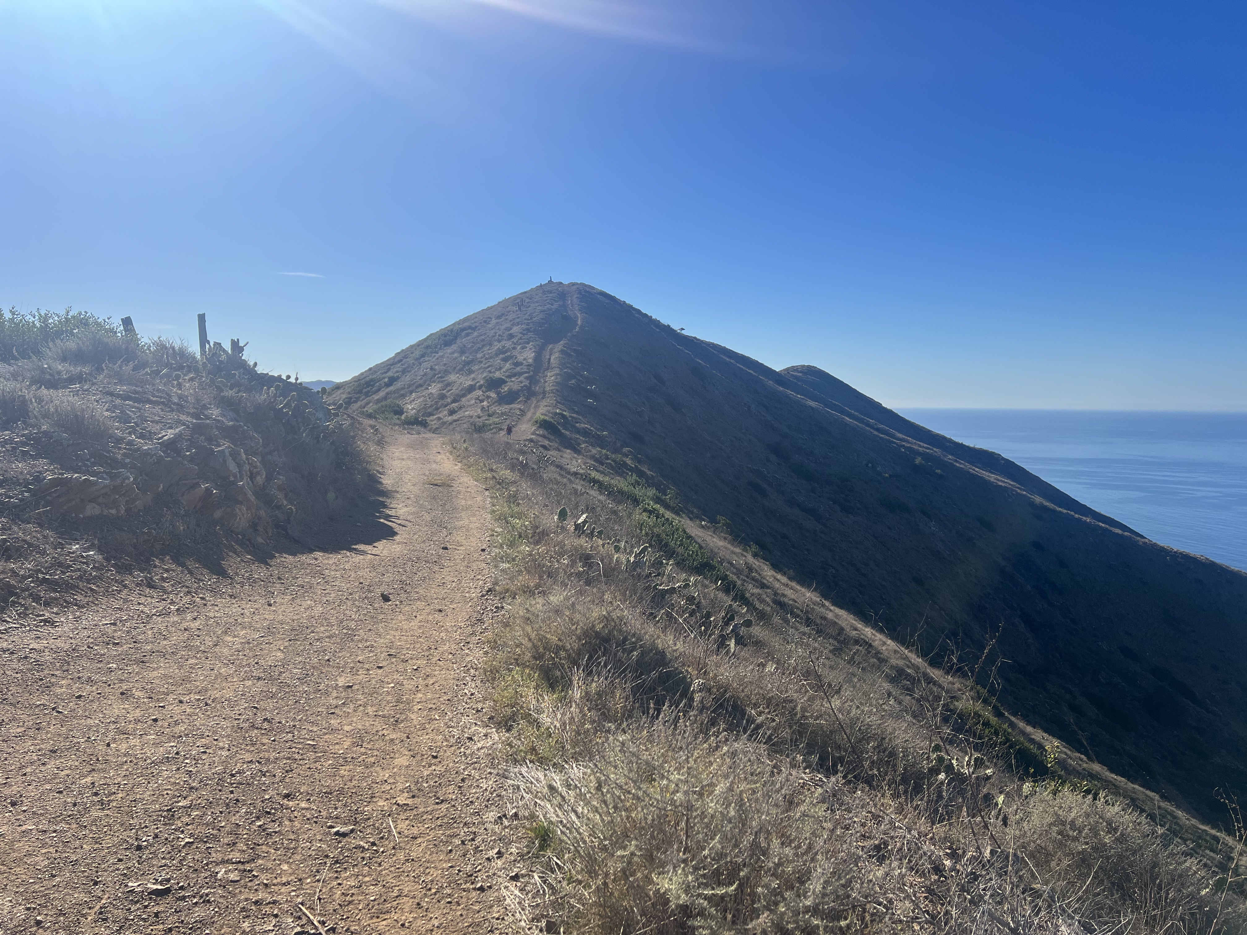
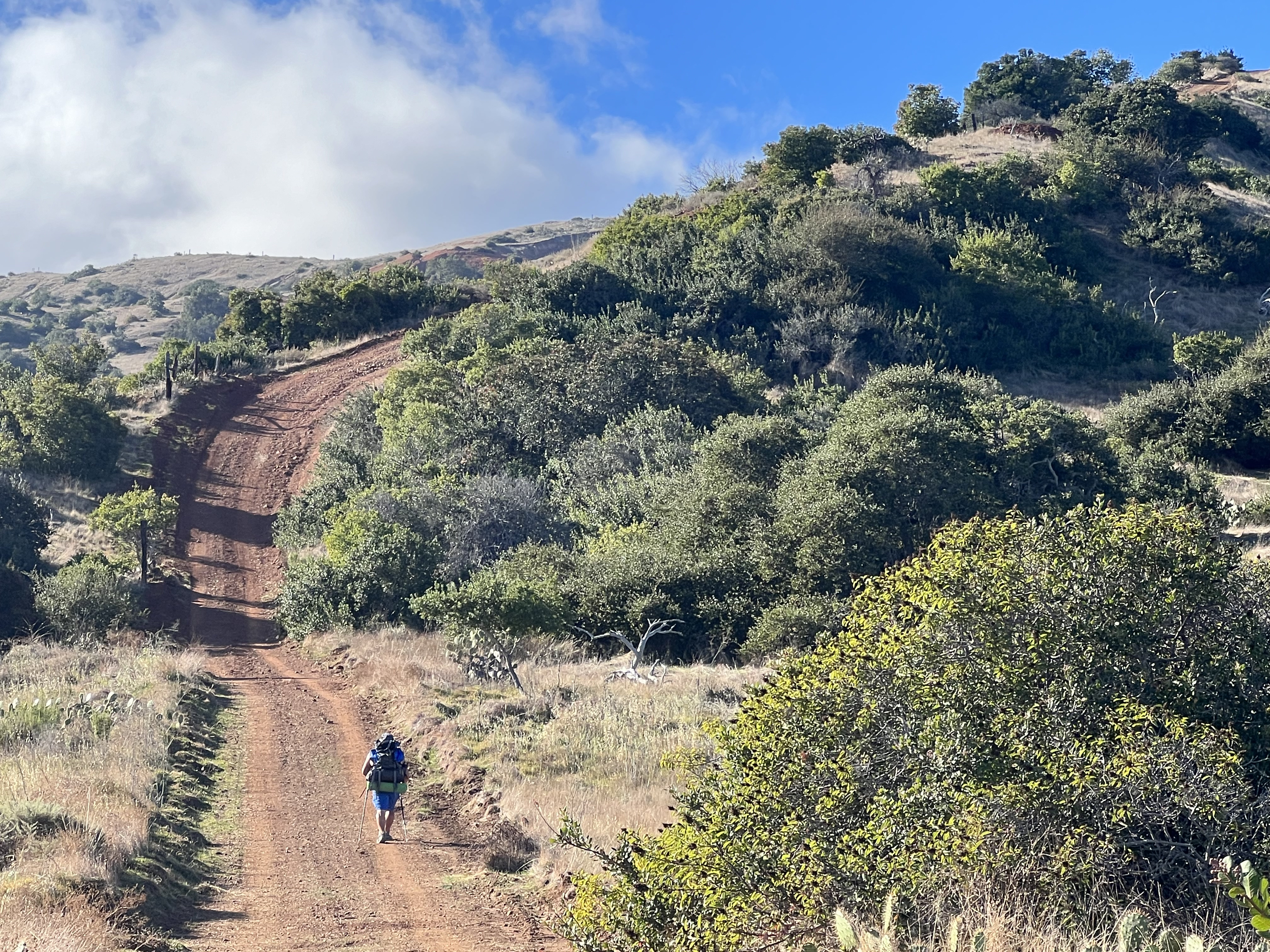
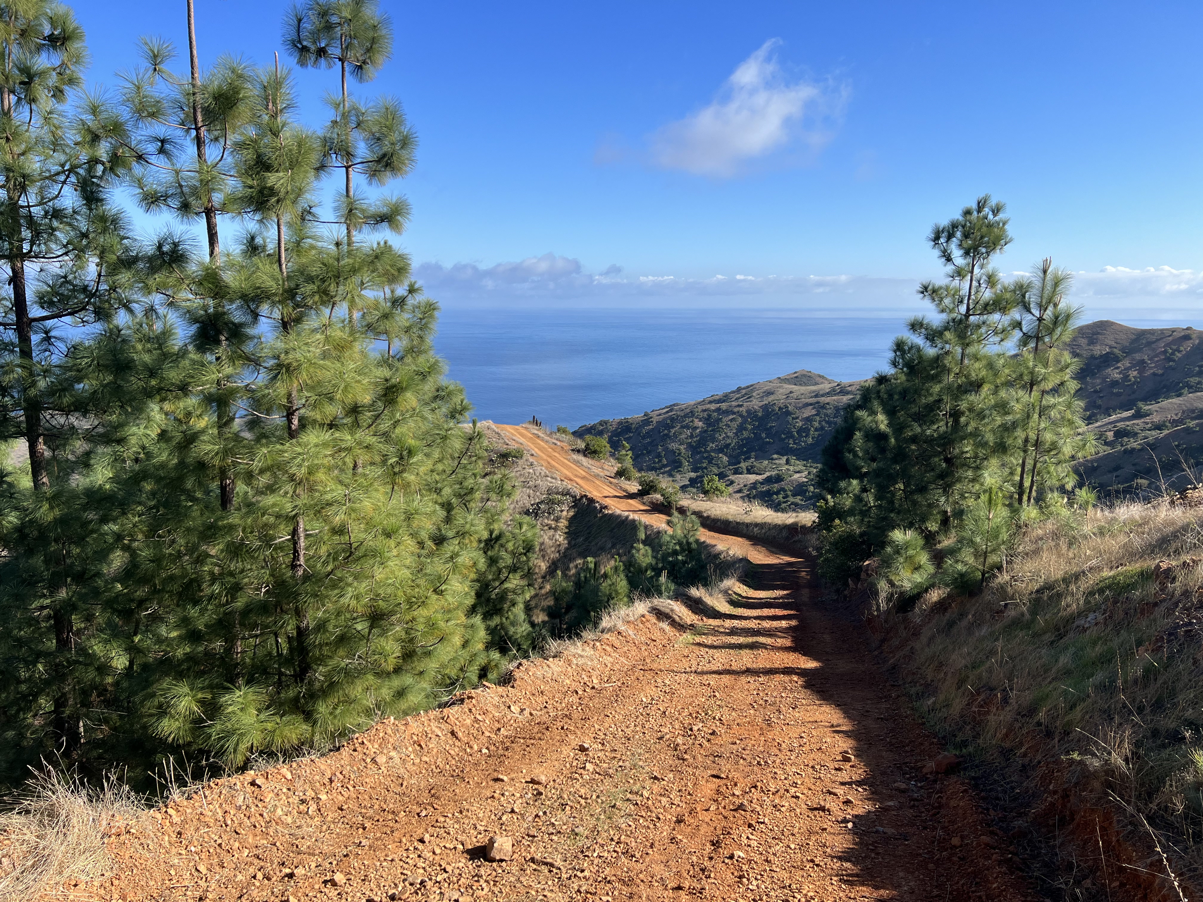
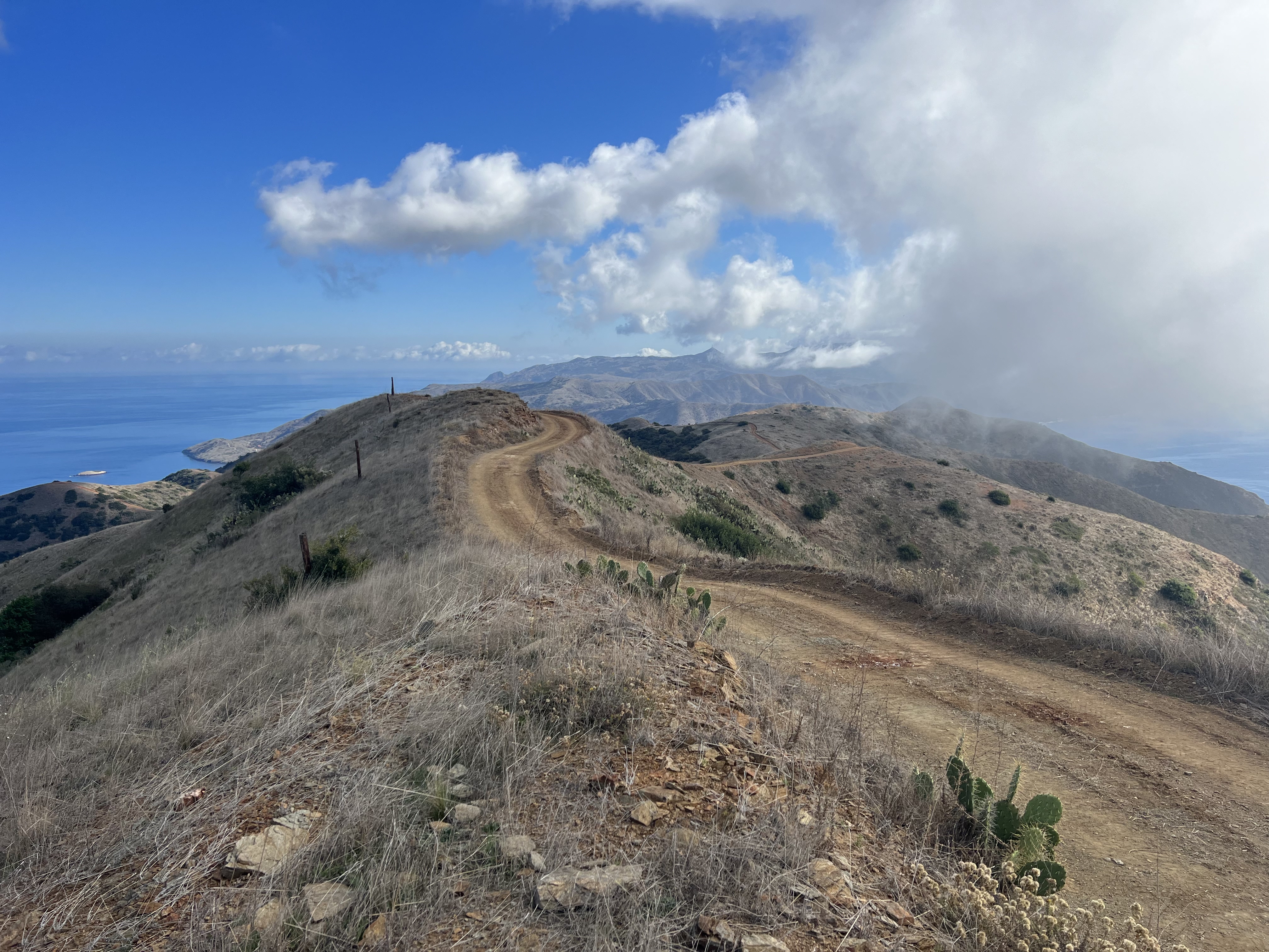
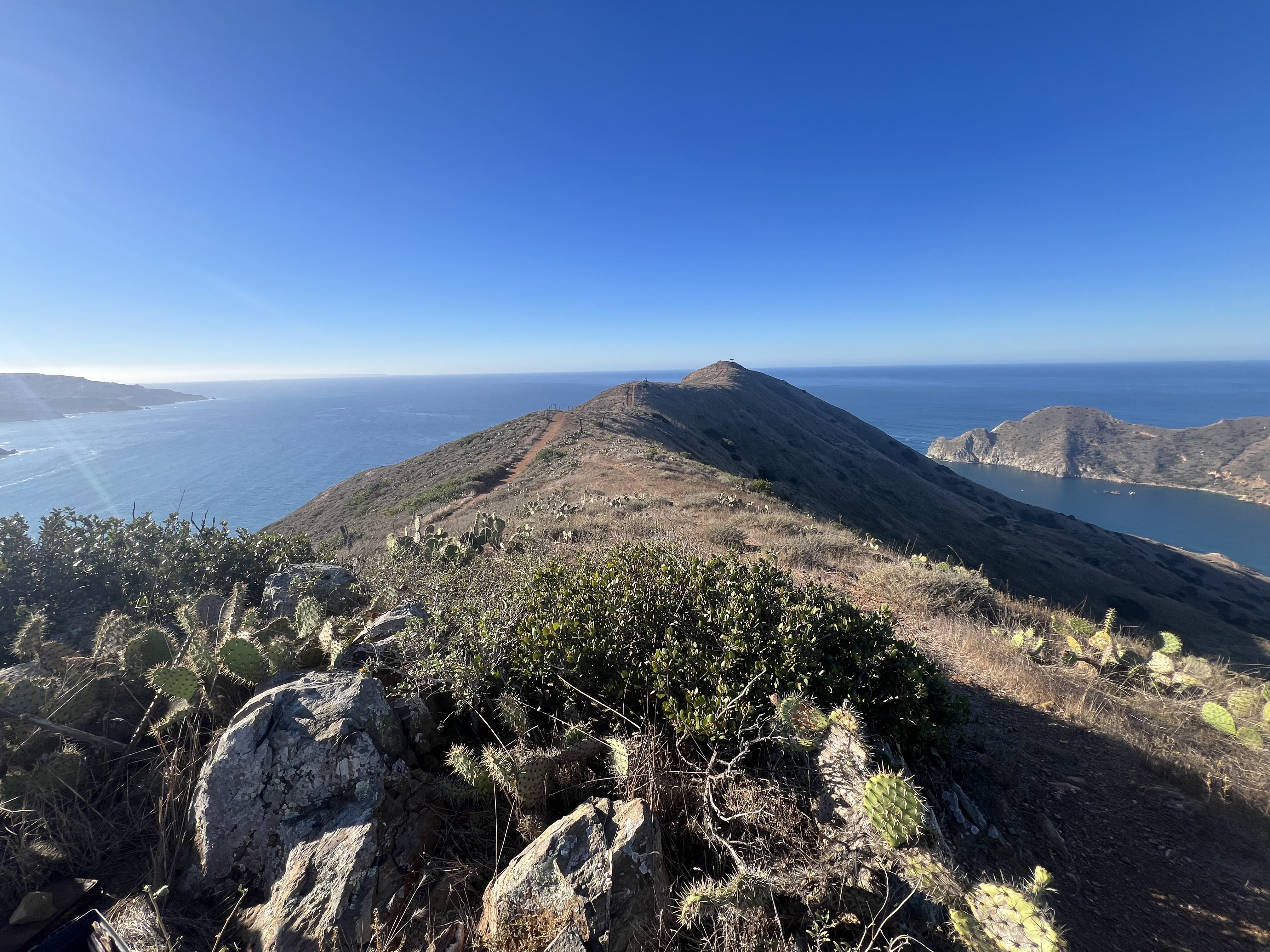
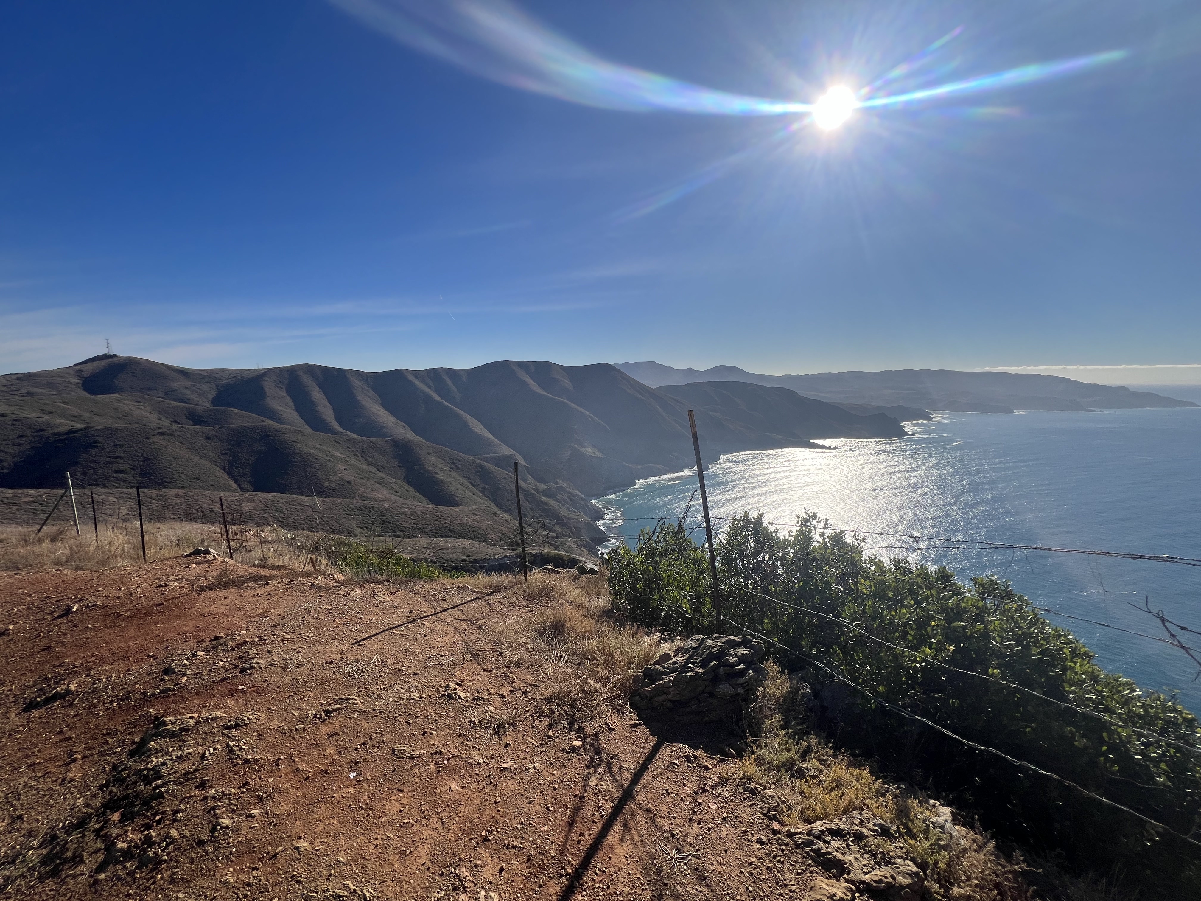
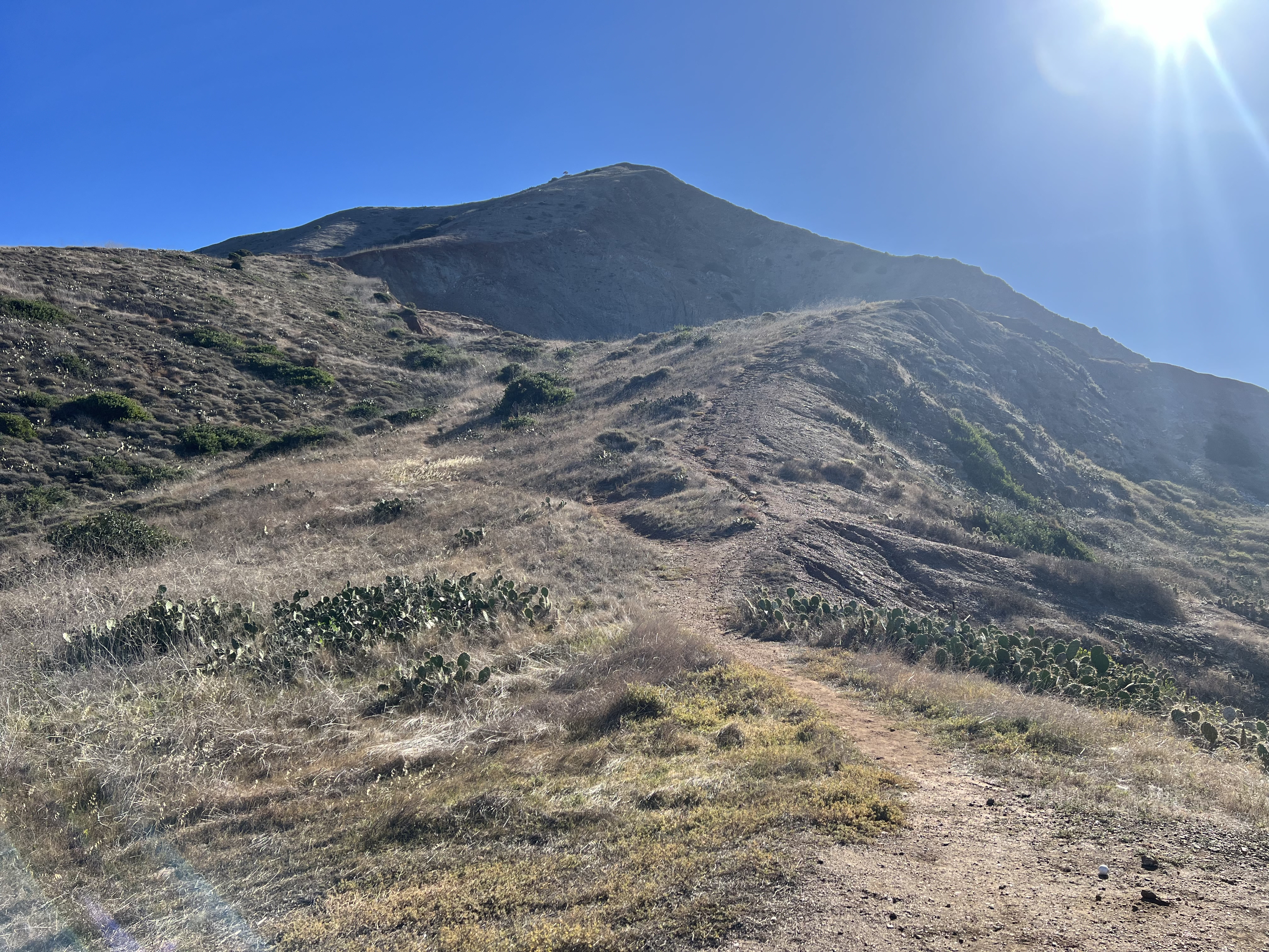
Not rushing to get moving, we packed and ate breakfast at a leisurely pace, finally donning our packs at 9am, a late start for us. The day, once again, was perfect, sunny and warm, though some clouds were hanging around high on the ridge up to which we were soon to ascend. Heading south on West End Road, we soon came to a sign for Fence Line Road, the intersection to our route across to the ridgeline trail that would take us back to Two Harbors and the northern loop to Starlight Beach. Immediately, we began to gain elevation at a steep grade, this “road” more of cat trail /fire line than an actually drivable road. Some of the hills were bordering on 45 degrees, a super steep grade for a “road”!
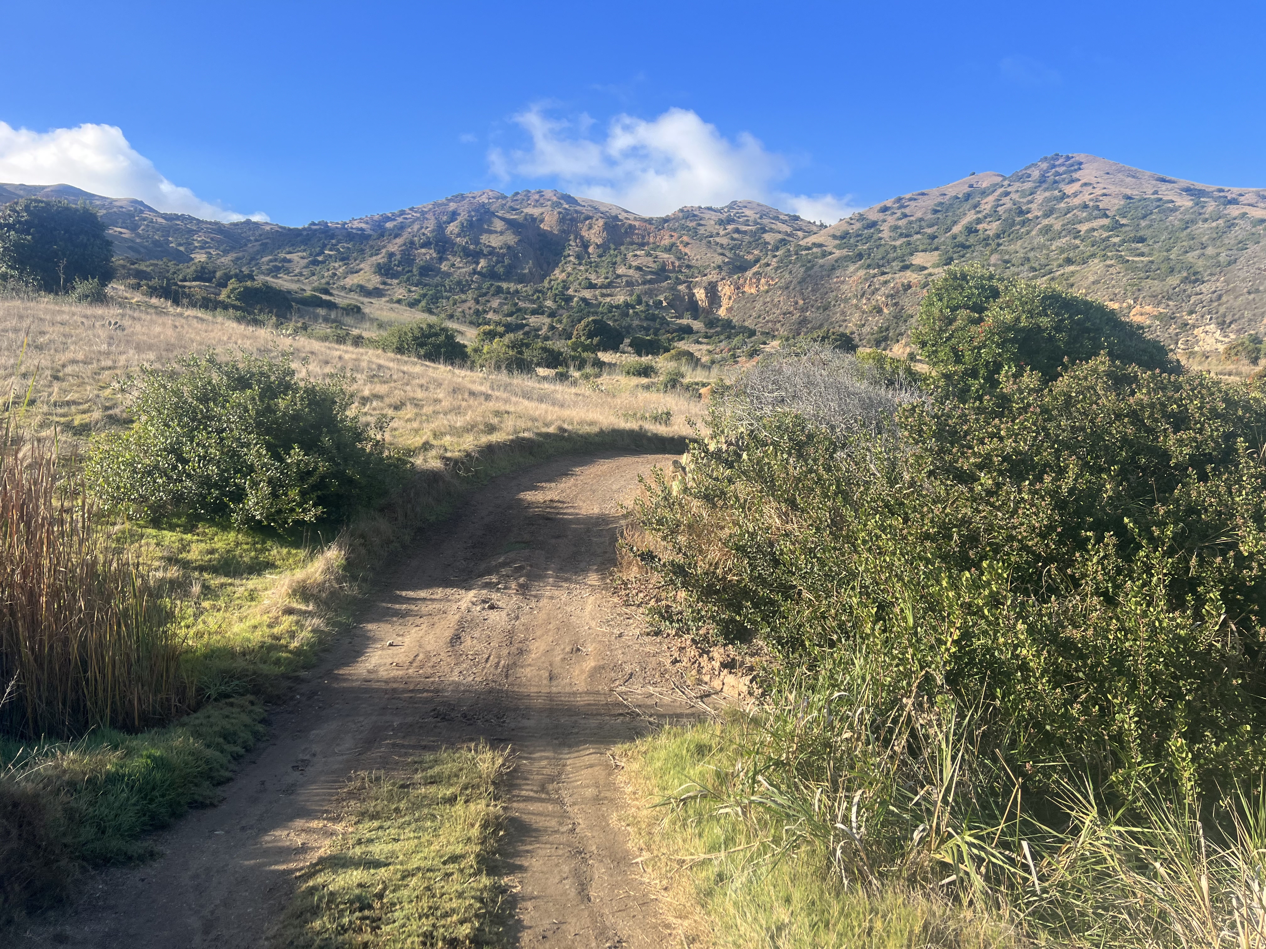
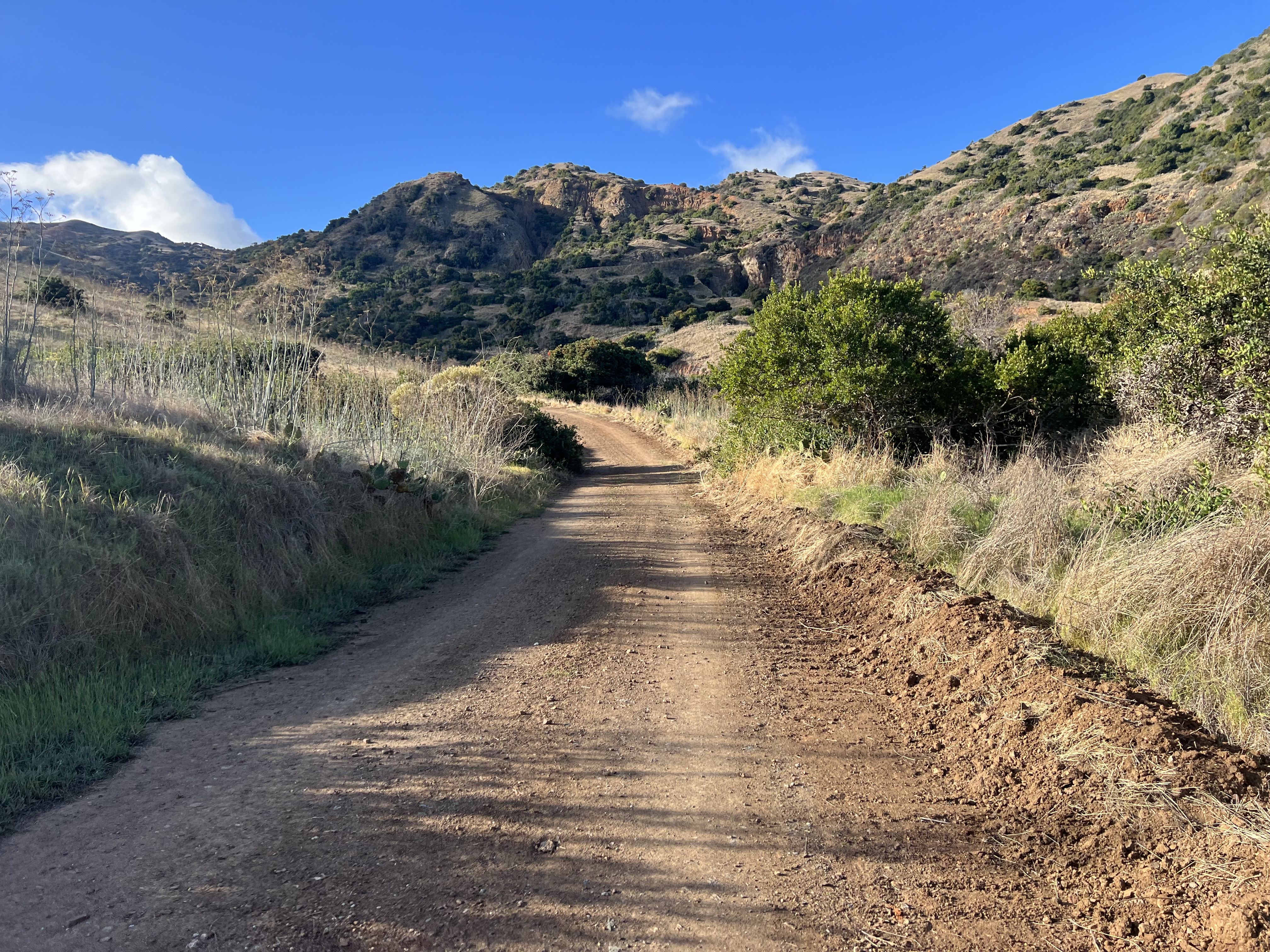


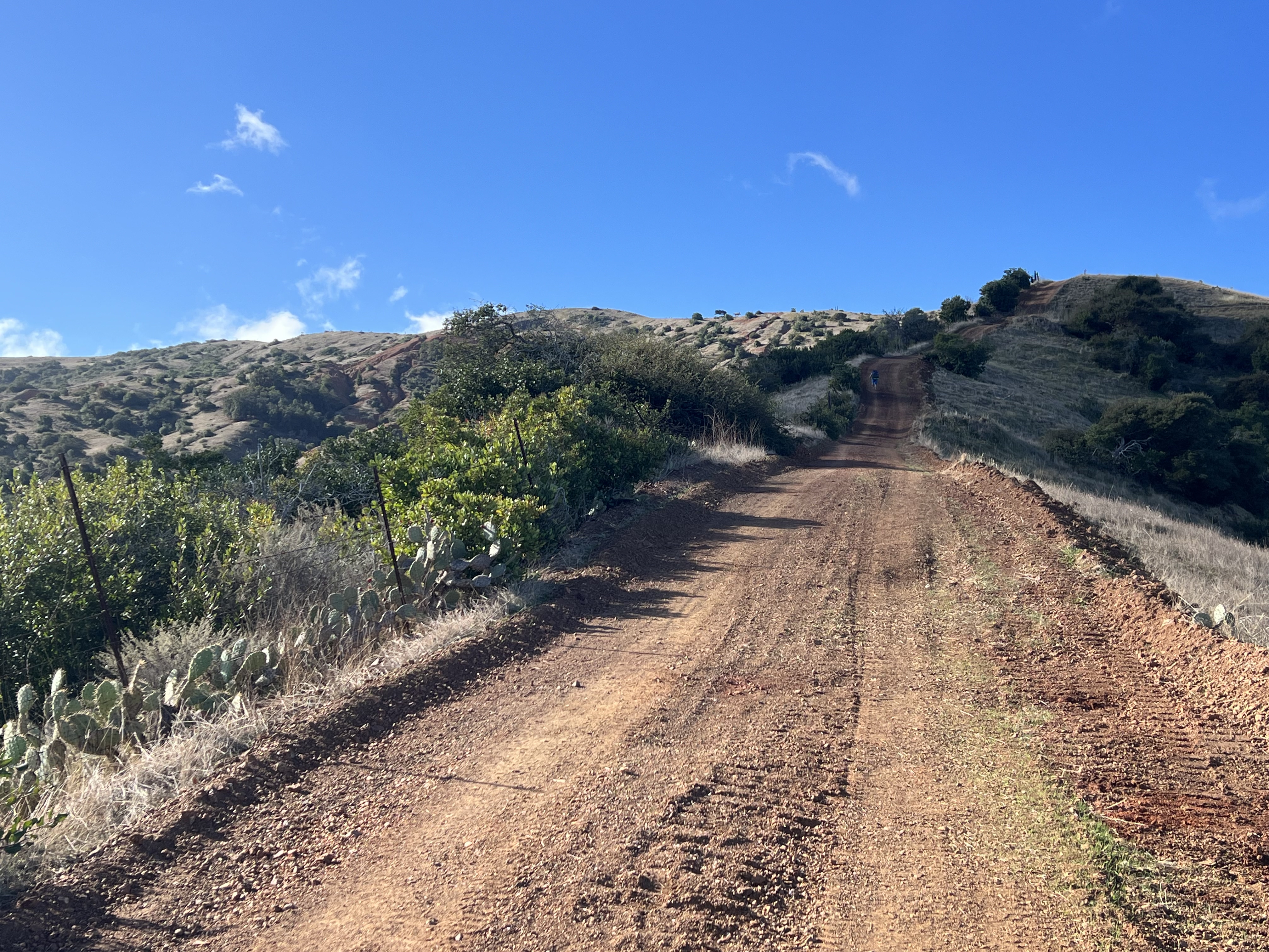
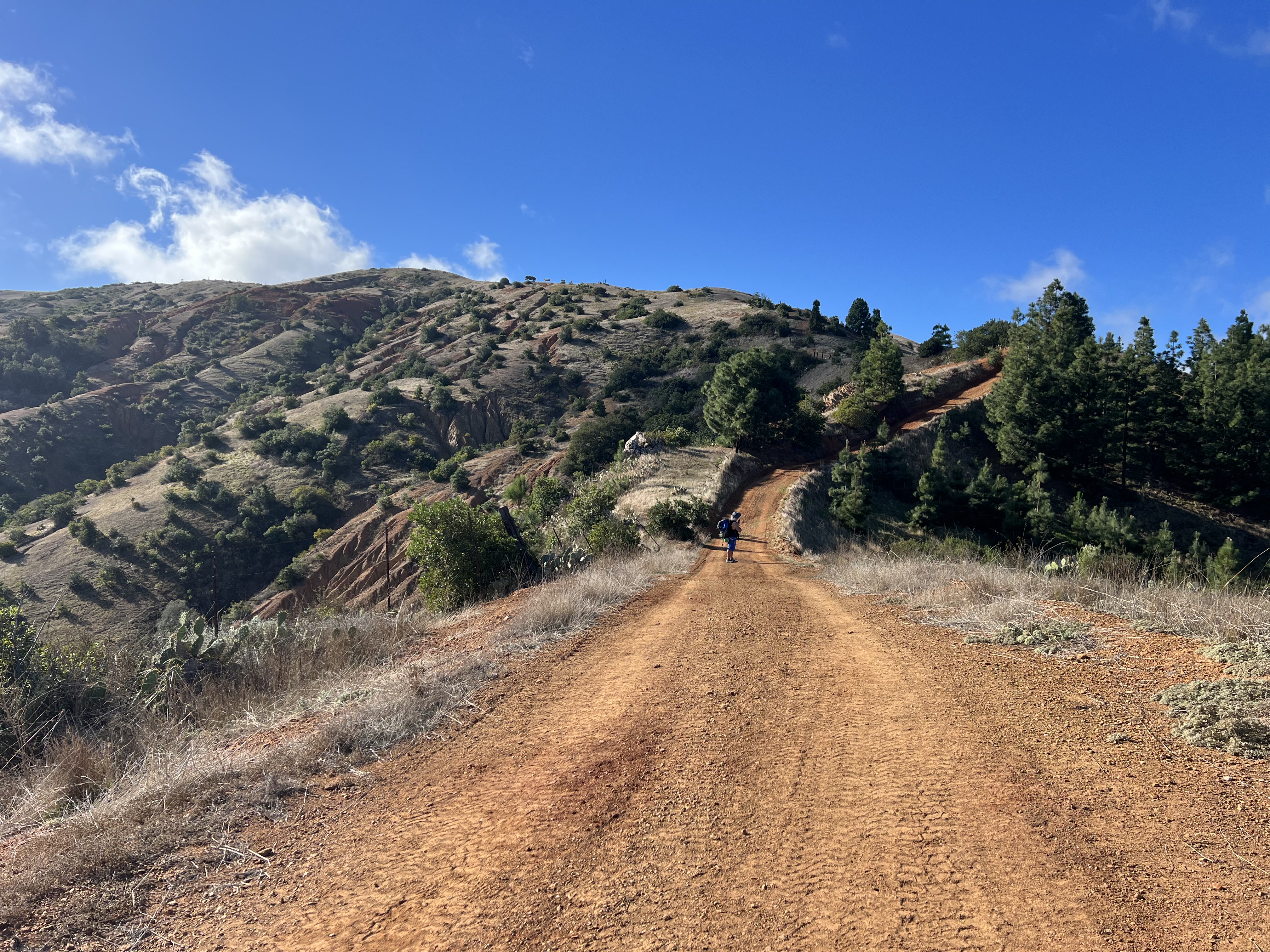
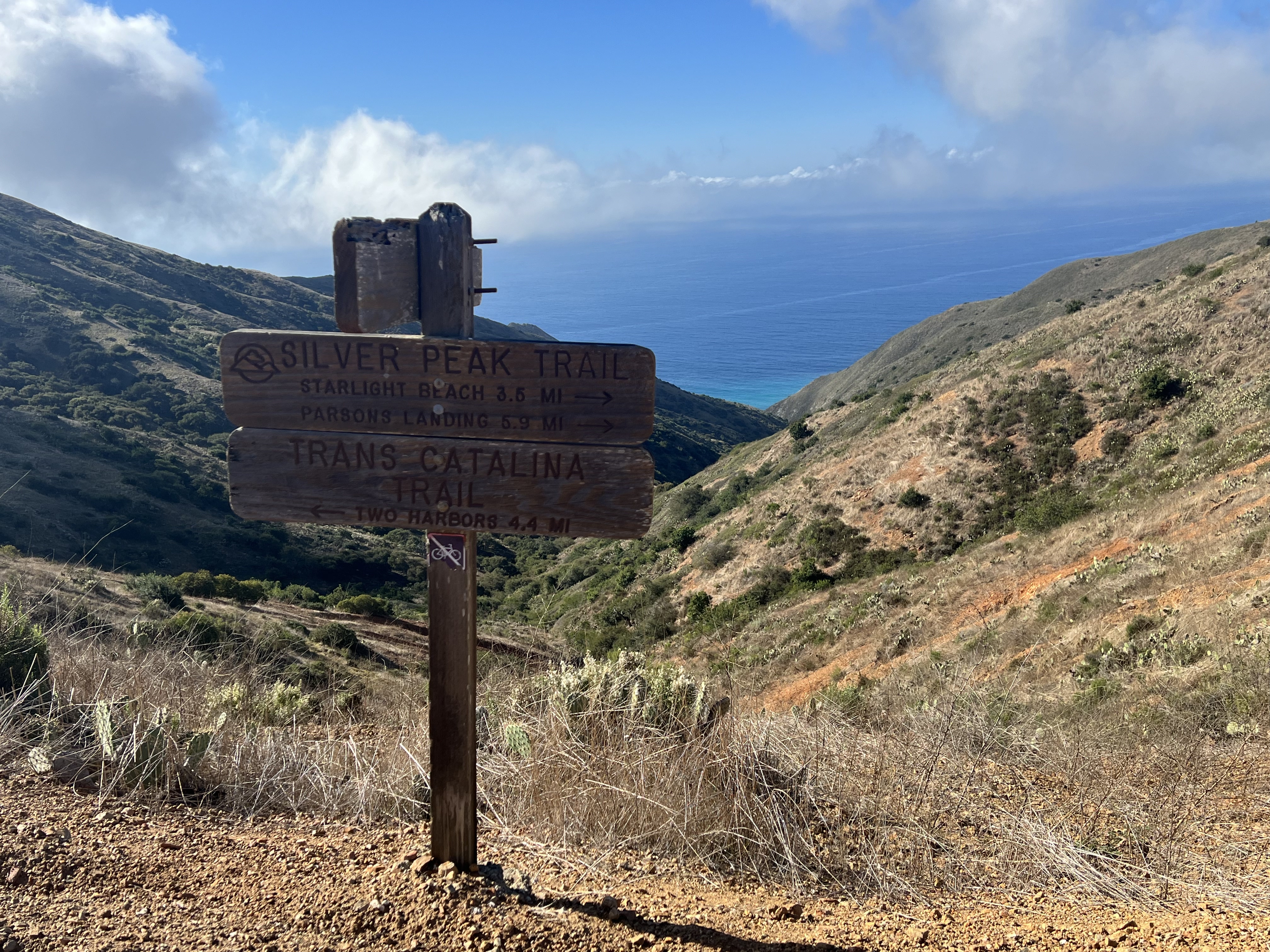
Relieved to have finally reached the Silver Peak ridgeline trail, we stopped at the covered picnic table for a short break. Silver Peak looked appealing for a quick side trip, but we decided to save the new views for when we came back to do the north loop. Reluctantly taking a left instead of a right, a sign indicated we were only 4.4 miles from Two Harbors.
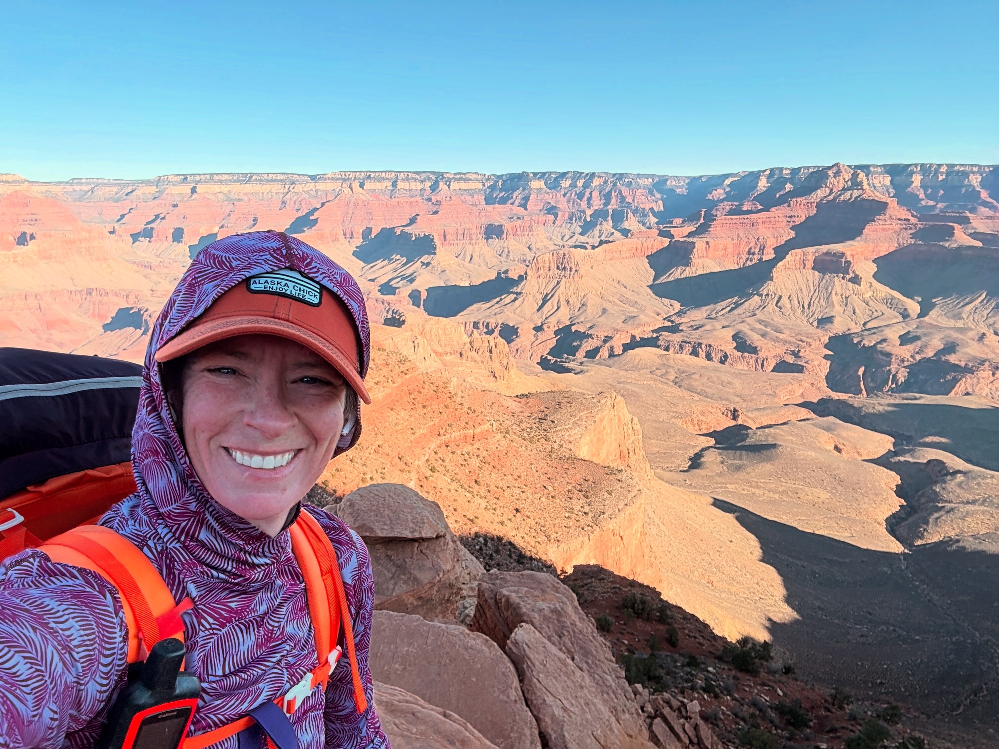
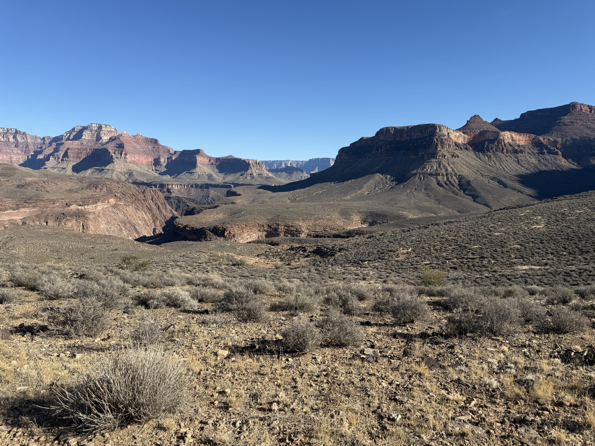
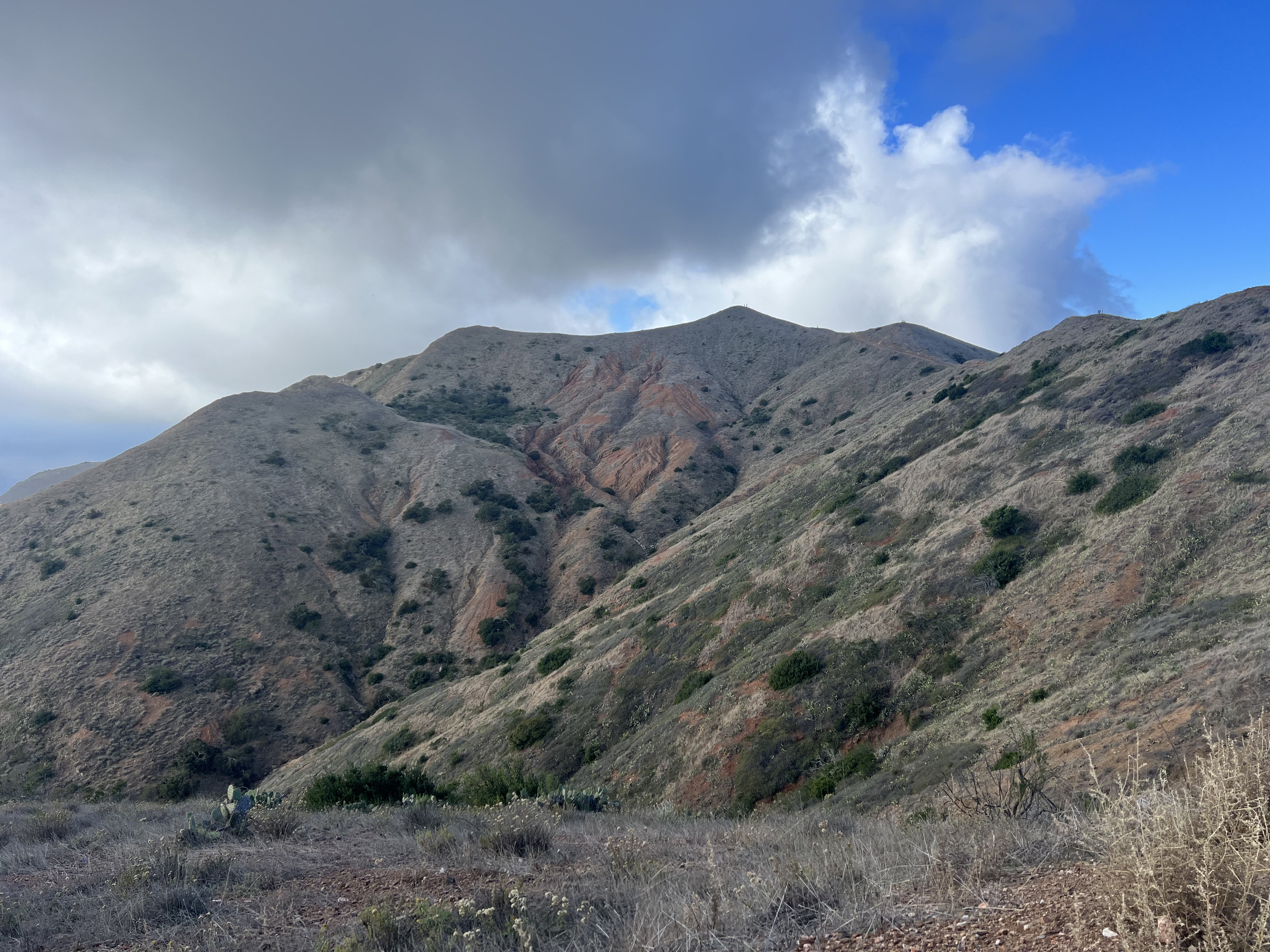
We had already gained most of our elevation in the two hours we had been traveling, with only about 600′ to go before dropping back down to the isthmus. Though the patches of clouds persisted over the ridge, no precipitation occurred, and it was nice to have some shade during the hottest part of the day. We made sure to stand on the highest points of Granite Peak (1795′) and Oak Benchmark (1488′), just tiny bumps on top of this ridge.
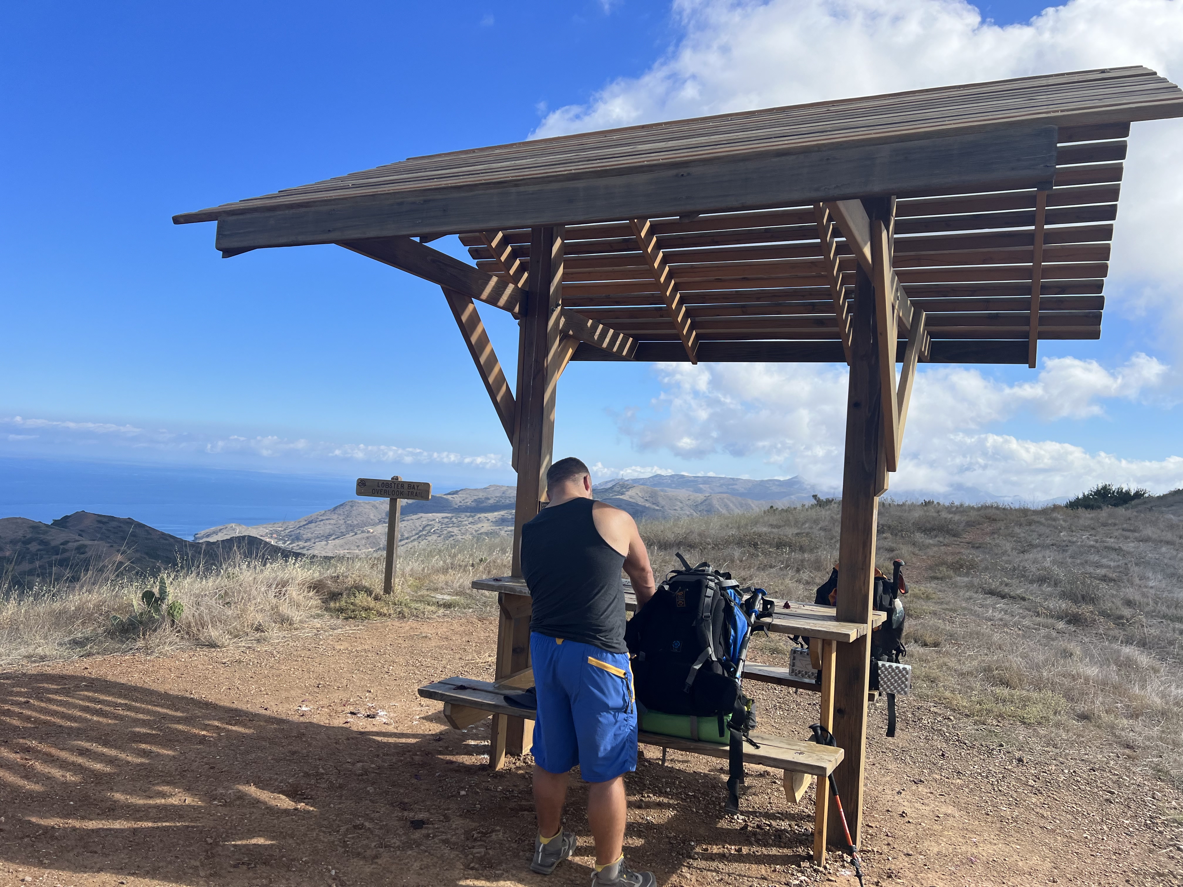
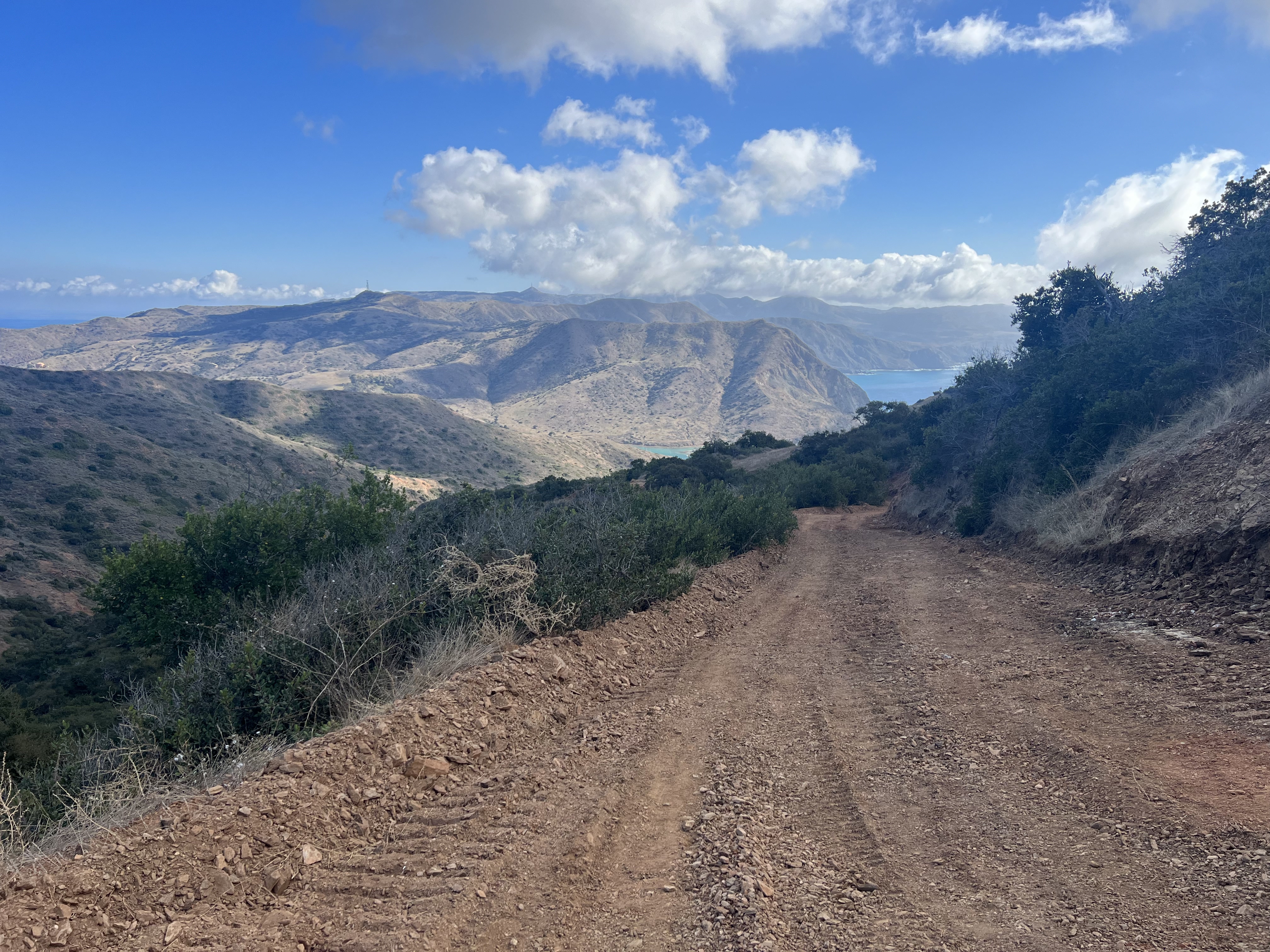
We could look down to the northeast and see parts and pieces of West End Road and some of the camps we had passed the day before. The south portion of the island coming into view, Mt Orizaba rising prominently from the rolling hills. After taking a quick break at the Lobster Bay Overlook Trail Intersection, another covered picnic table providing shade, we began our descent, Catalina Harbor coming into view.
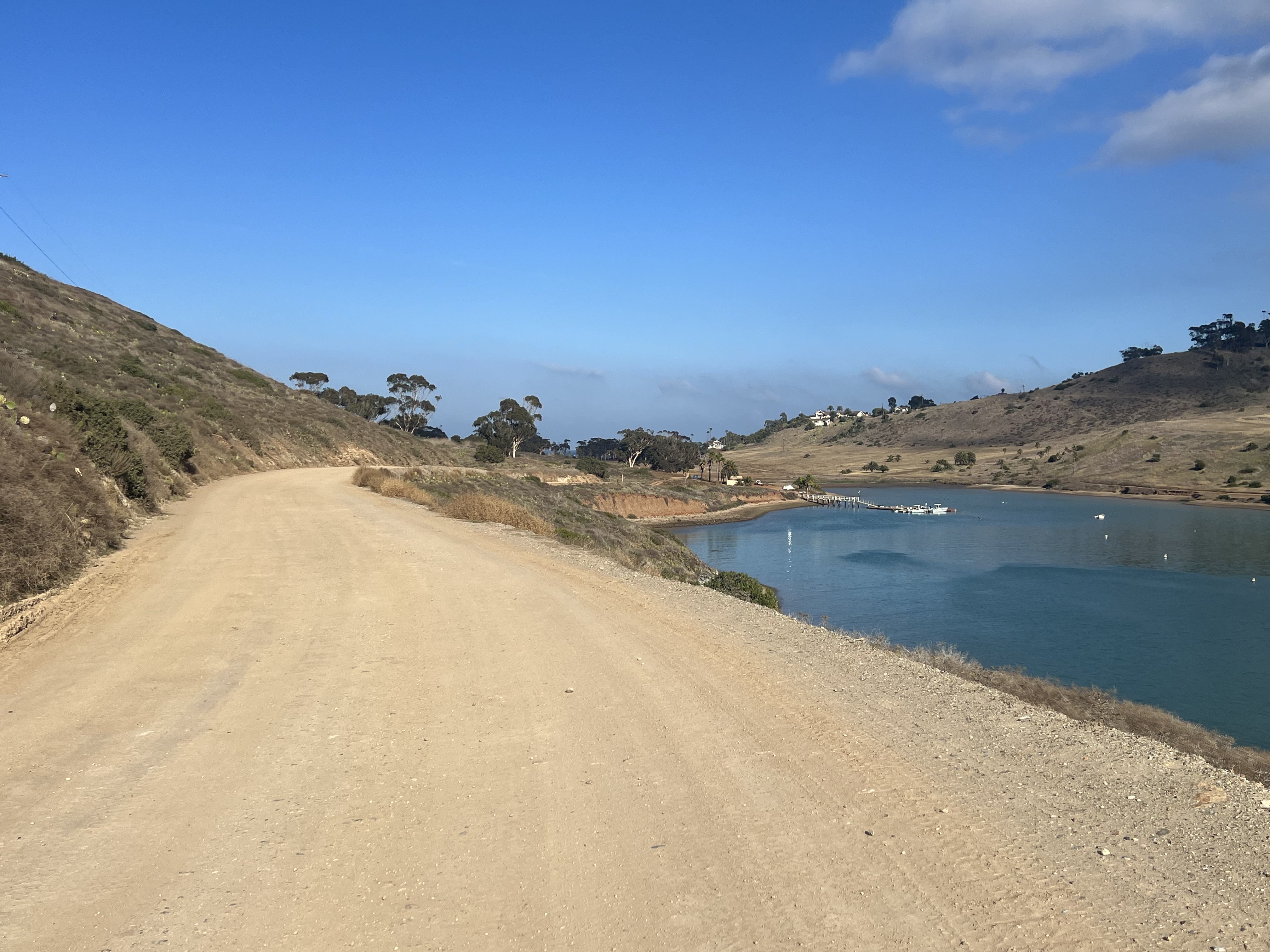
Within an hour we were back down at sea level, walking the road from Catalina Harbor across the narrow strip of land to the town of Two Harbors and our campsite at Two Harbors Campground, which was pretty much deserted except for our two tents. Showers, laundry and a big dinner at the Harbor Reef Restaurant rounded out the day before we sat around the campfire, talking about our experiences on the TCT and about our plans for returning in the future.
Go Home Day
4.2 Miles, +1,342′
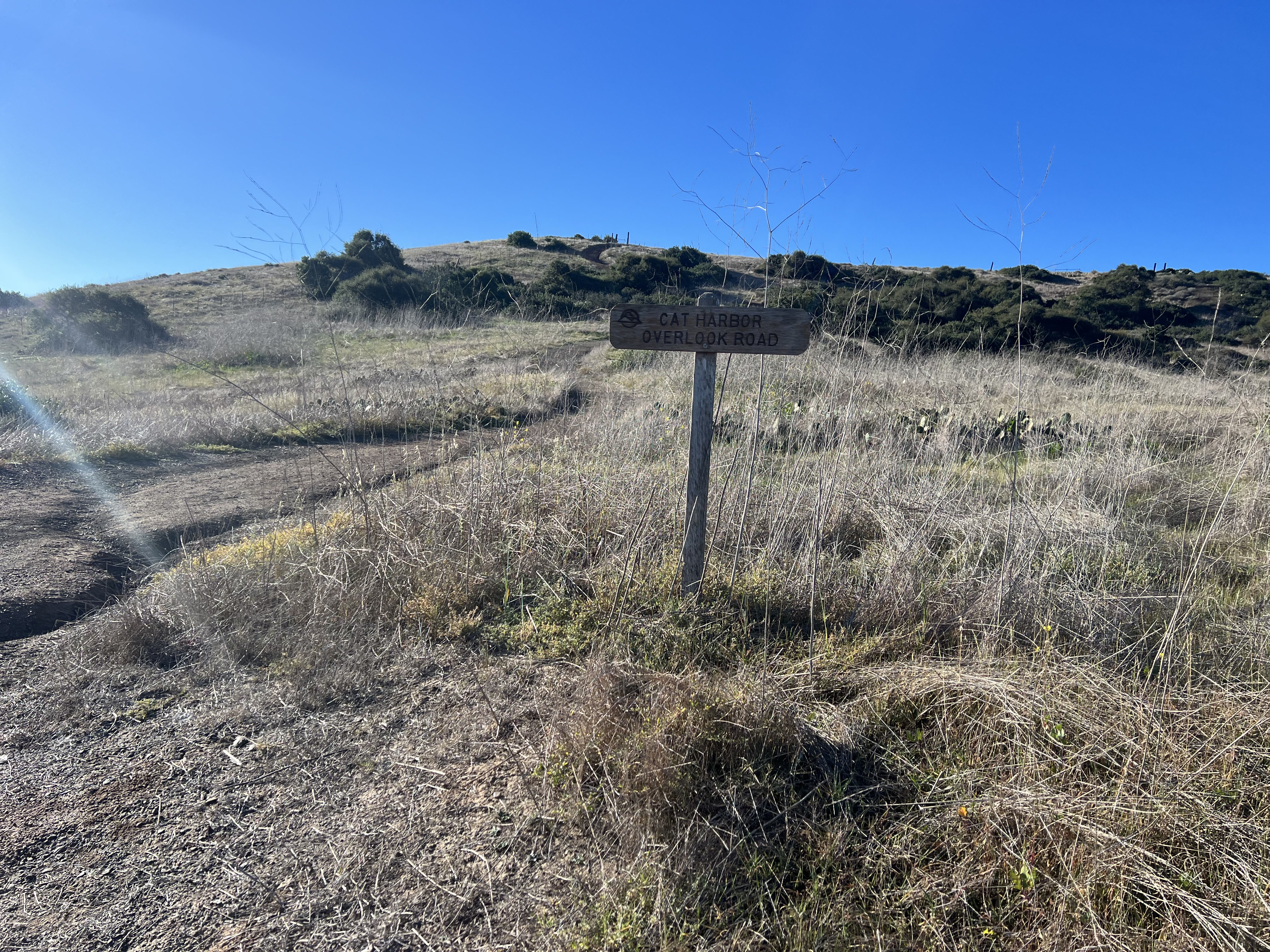
The sea lions had made a racket all night long. Apparently, we weren’t far from their chosen rock. It didn’t matter much, though, as it added to the Catalina ambiance, where wildlife had been abundant. Over breakfast and coffee, we decided we wanted to stretch our legs, so we planned a short hike back down Banning House Road and to the Cat Harbor Overlook, hoping to make a loop of it by descending a northwest ridge to Ballast Point Road at Catalina Harbor. We would need to catch the ferry at noon, but that shouldn’t be a problem. We could make good time without heavy packs.
Before leaving I found a prickly pear fruit and decided to try this again. Although I didn’t know the burn trick yet, I was able to open the fruit and spoon it out without including any thorns. It was sublime; soft, sweet and juicy. Jason had been traumatized by our first attempt with this spiky fruit, but after much cajoling he relented and took a spoonful, agreeing that it was delicious.
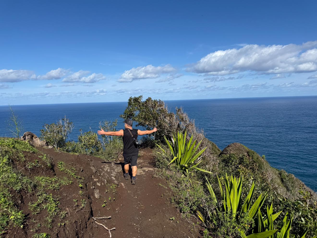
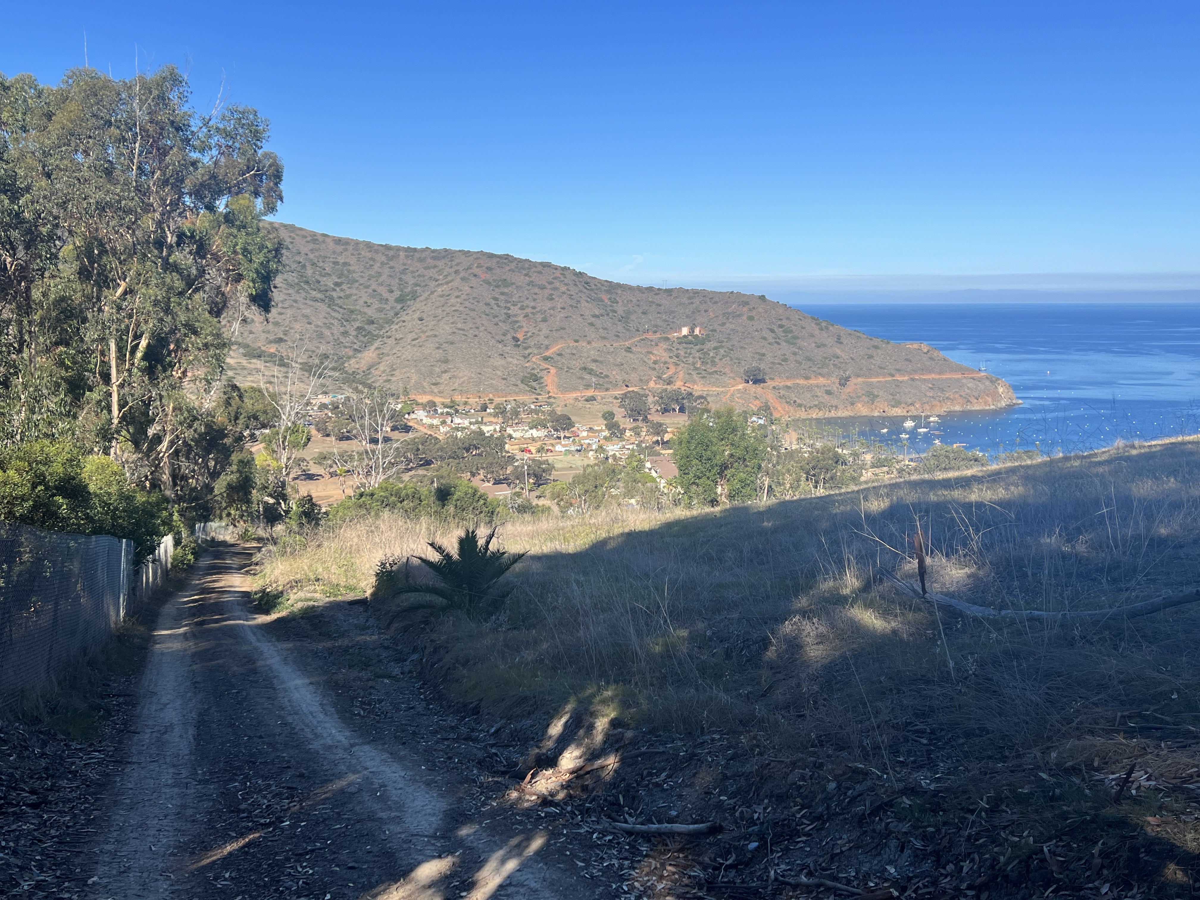
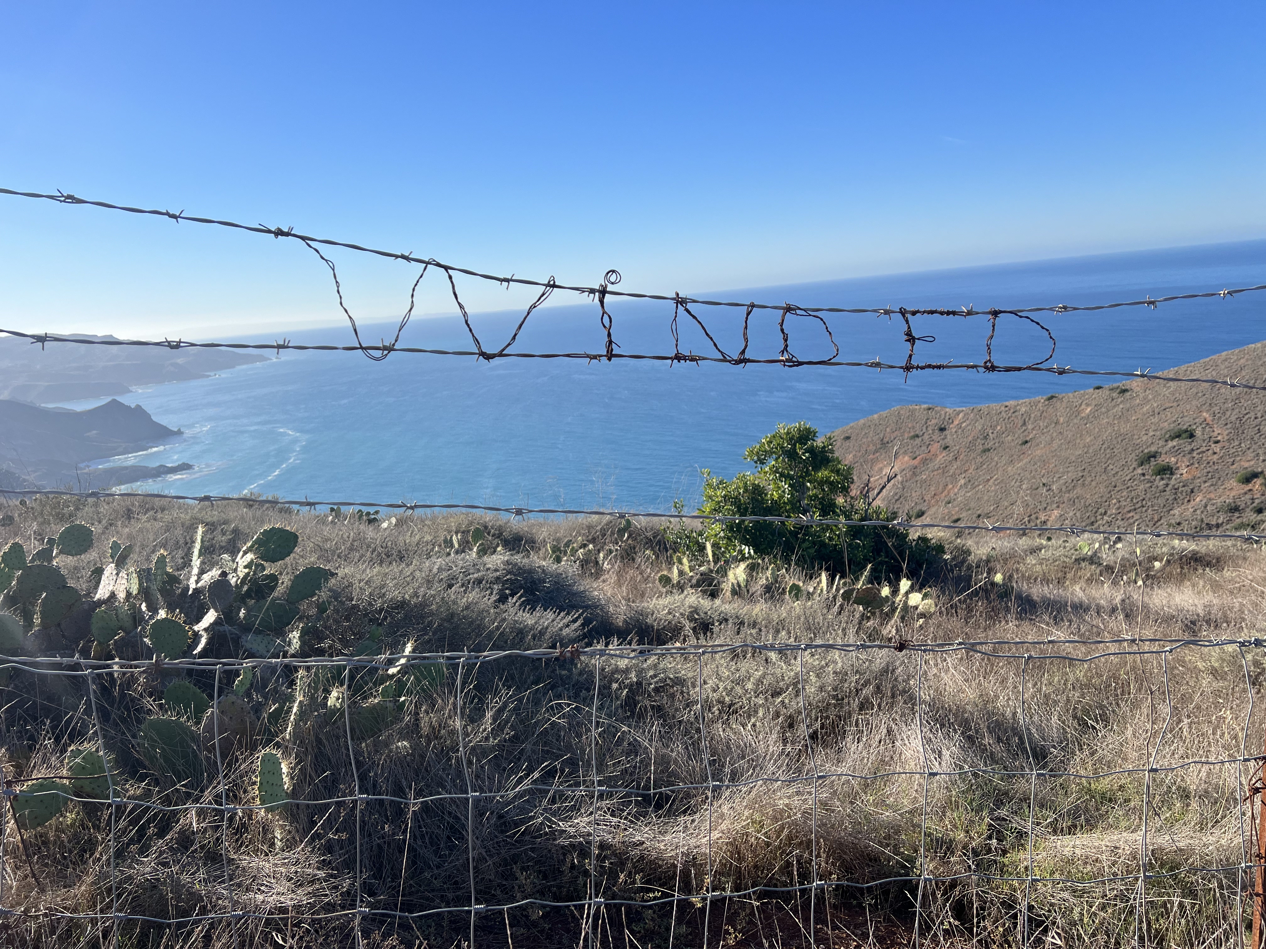
At 8am we walked out of camp, through town, and followed our intended route up Banning House Road. Soon reaching the Cat Overlook trail, we found the word “Winded” woven into the fencing with pieces of barbed wire. Not feeling at all winded, we continued to the Cat Overlook, another covered picnic bench welcoming us.
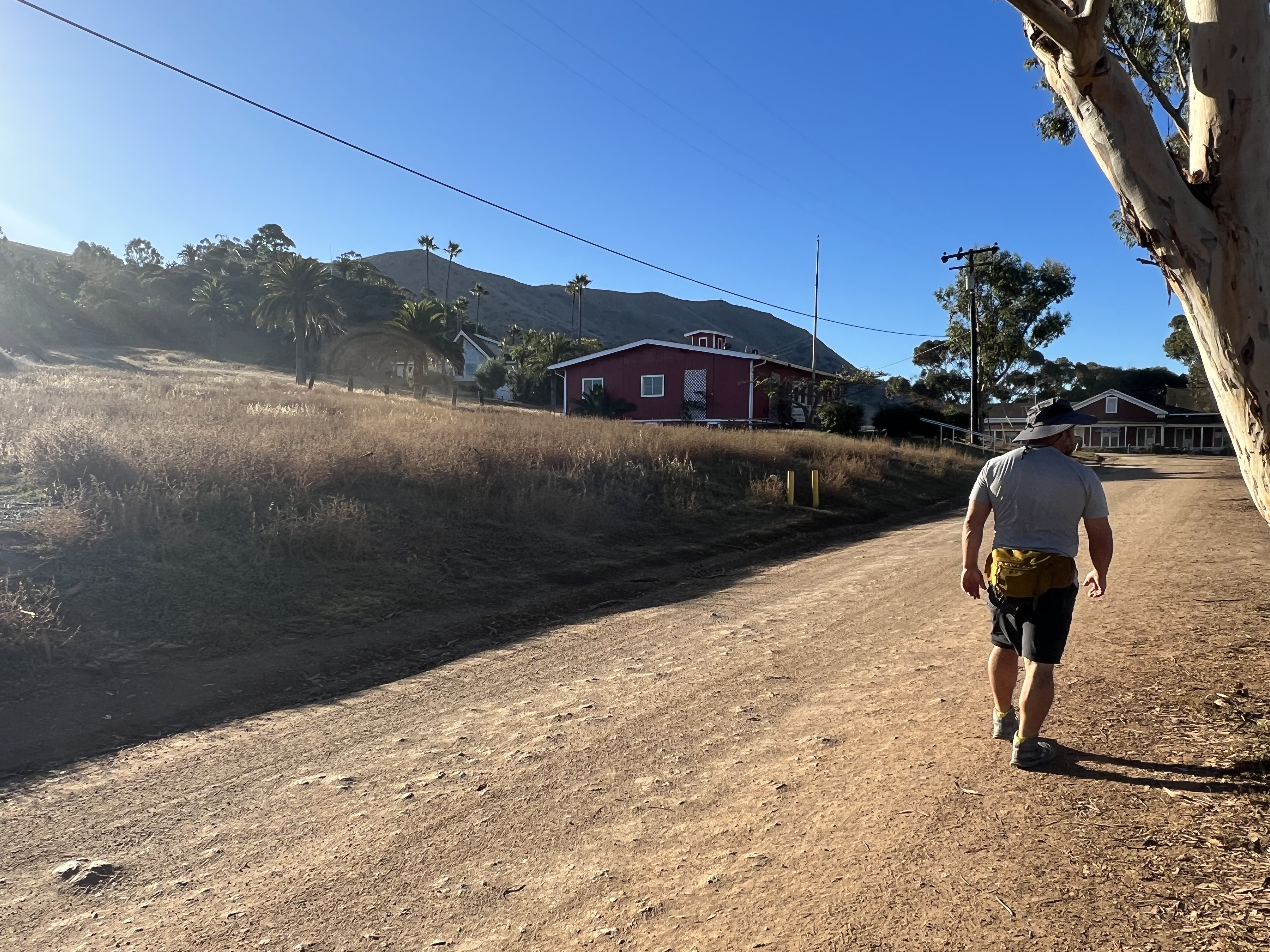
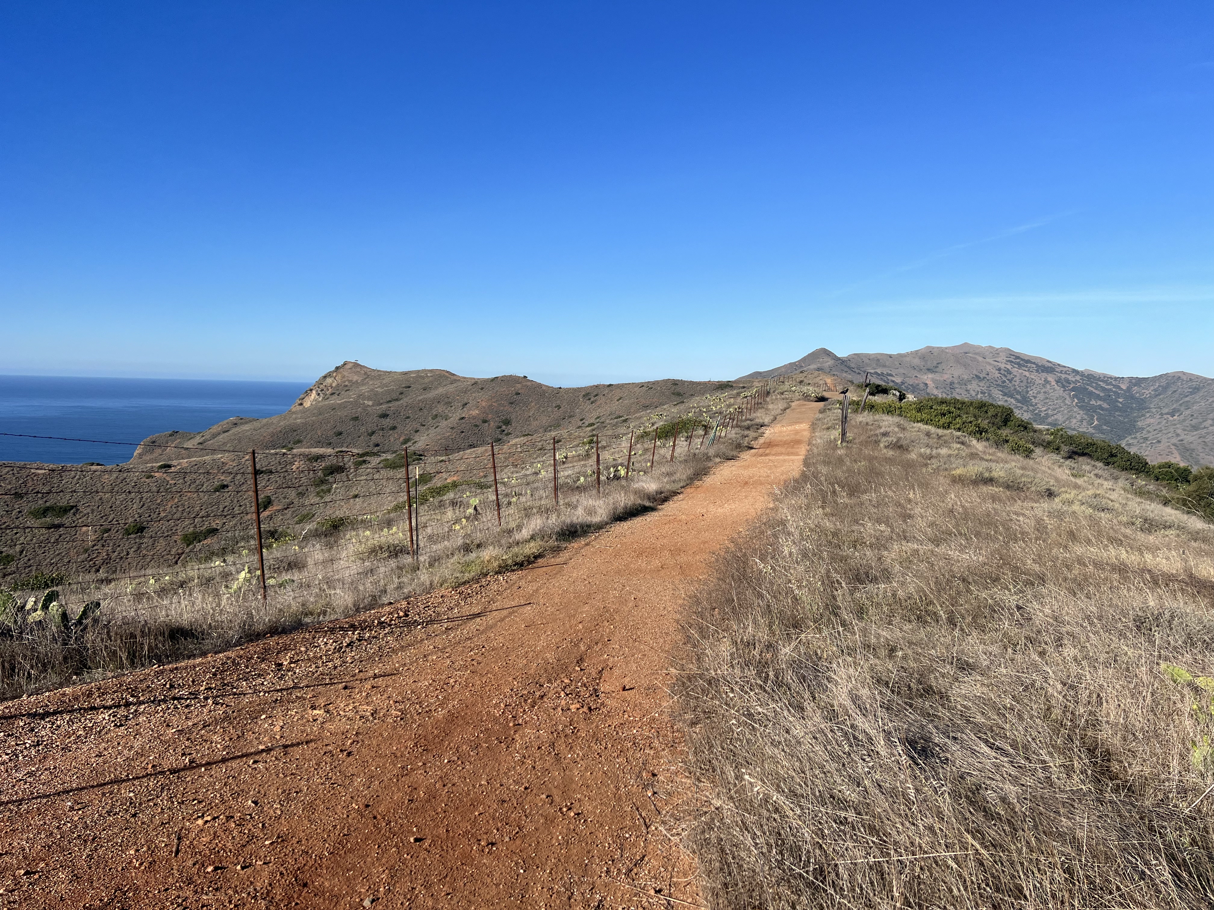
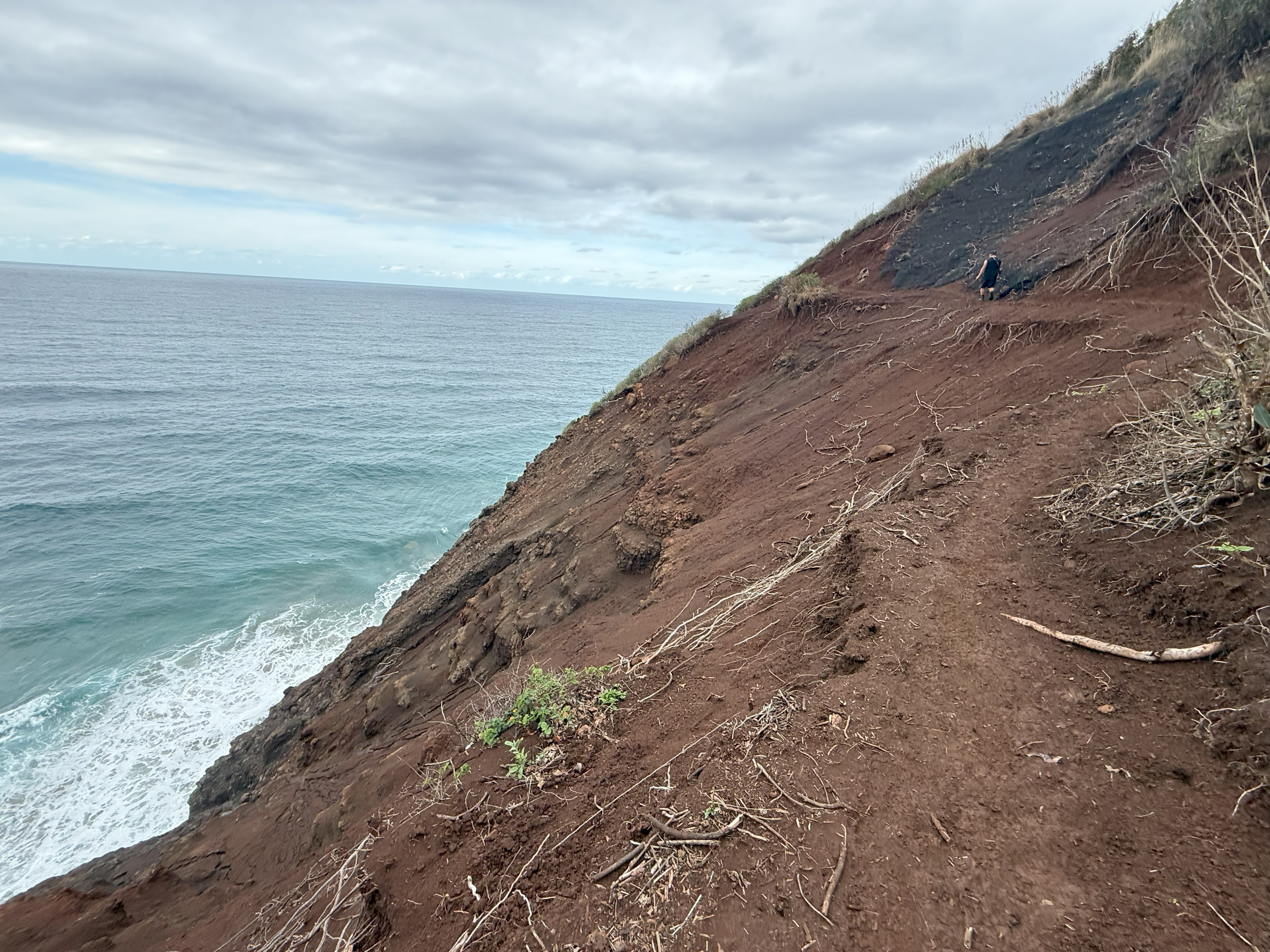
After snapping some photos of the north and south ends of the island, we followed a faint path down towards Catalina Harbor. The face of the hill was crumbling away, so we skirted around the eroded slope before dropping onto Ballast Point Road, back at sea level, where we watched pelicans diving for food. By 1045am we were back at camp, packing up and hauling our gear over to check in for our ferry ride back to the mainland.
We boarded the catamaran and looked out towards West End Road, disbelieving that this trip was already over. It is always bittersweet to complete a journey, so much planning and effort involved, sights seen and experiences had, then one day it’s just over. I gazed out at the ocean, proud of our accomplishment and already thinking about what I would do when I returned.

Just The Tips:
- You cannot drive to Catalina Island. You must take the Catalina Express. They have multiple ports of call depending on which part of the island you are going to/coming from. Do not wait until the last minute to book ferry tickets.
- Between October 22 and March 31, note that the Catalina Express does not operate to or from Two Harbors on Tuesdays or Thursdays.
- Campground reservations open online every year on January 1st at 12:00 AM pacific time for the upcoming year. January reservations can be made over the phone with Two Harbors Visitor Services starting December 1st.
- Campsites are at the time of publishing, $42.25/night for the first person and $33 for each additional person up to the site limit.
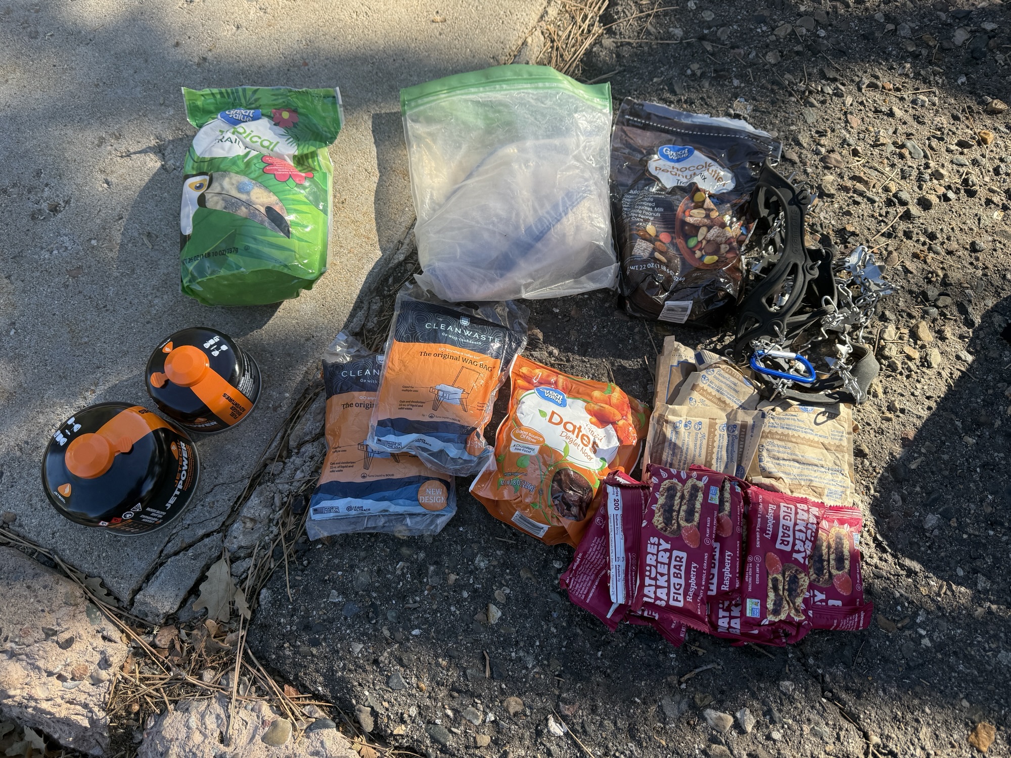
- MSR stove fuel, propane, firewood bundles, firestarter and water are available for pre-purchase and delivery to your site or assigned locker. This was an INCREDIBLE service! Each Parson’s locker comes with two gallons of water, as there is no water source here. There is also bag delivery service to some of the campgrounds if you’d rather hike without all of your gear.
- It is very difficult to get reservations for Parson’s Landing from March thru November, but I recommend staying two nights, if you can! That will give you an opportunity for a day hike on the north loop to Starlight Beach (we didn’t get an opportunity to do this), as well as time to enjoy one of the most beautiful campgrounds I’ve ever been to.
- When booking campsites, only input the date you plan to stay at the once specific site. Each campsite will require a new entry. For example, if you want to stay at Little Harbor November 3-4 and then Parson’s Landing November 4-6, you will input the Little Harbor dates, choose the site you want at LH then input the dates for Parson’s and choose the site. If you put your full trip dates in, the campsite will show the price for staying at that one site for the entire date range. If you need help with permitting, we offer trip planning services and can help!
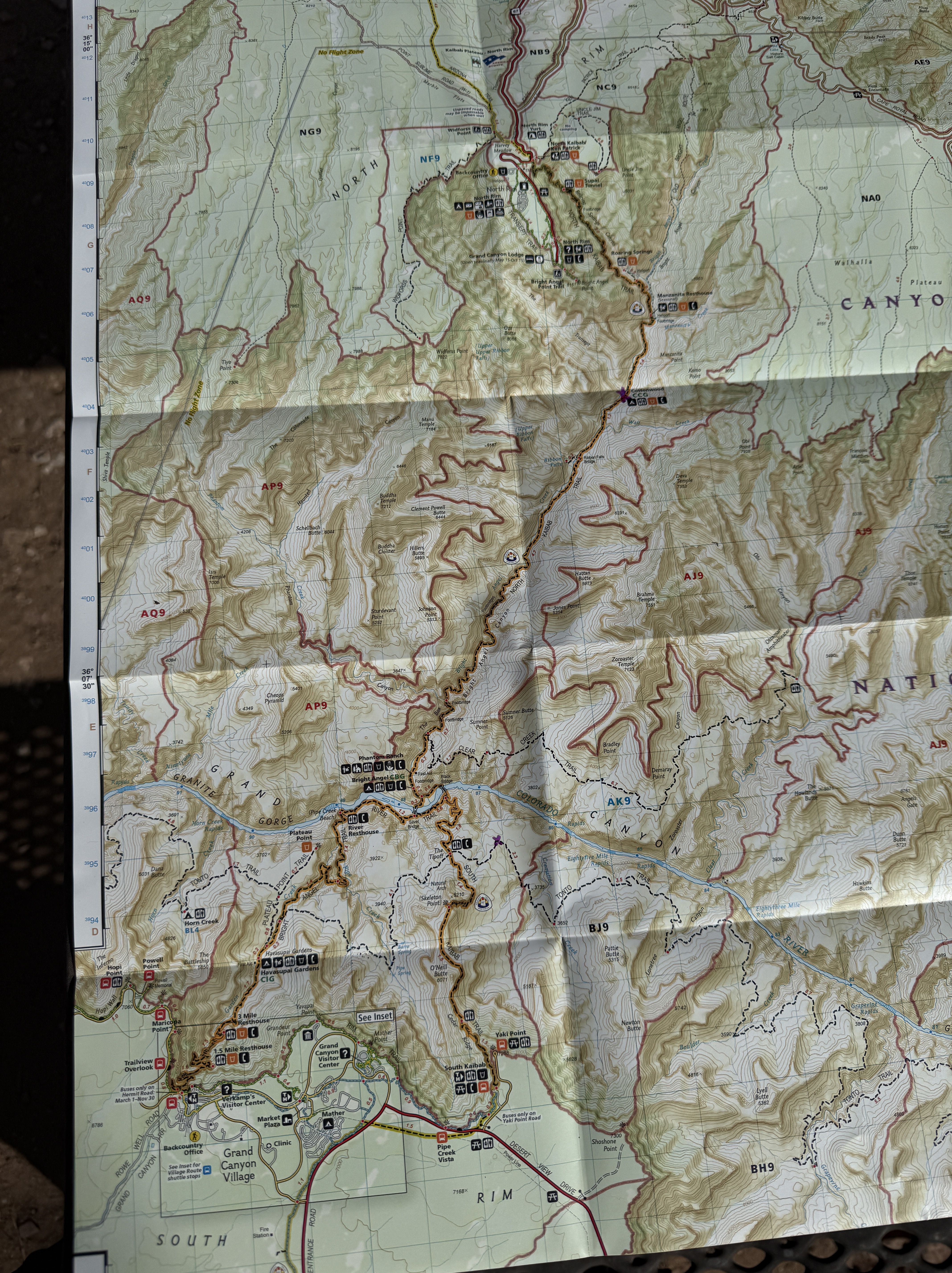
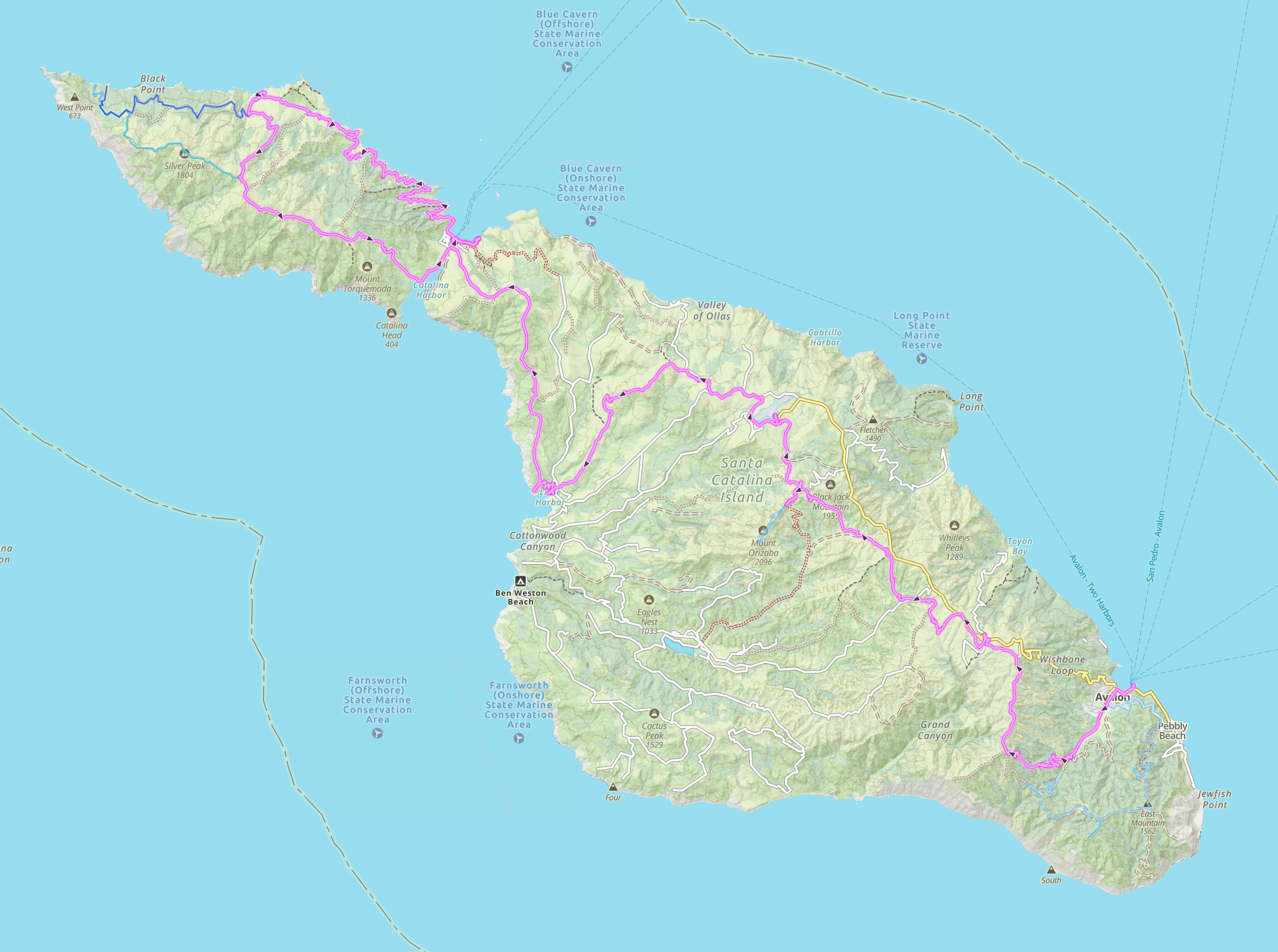
- I recommend hiking from Avalon → Black Jack → Little Harbor →Two Harbors (overnight here if you worry about making it 14 miles in one day) → Parson’s → Two Harbors. The views get better the further north you go, and Parson’s may only be rivaled in beauty by Little Harbor. You will end on a high note if you go South to North. (Take the ferry to Avalon from the mainland and back to the mainland from Two Harbors)
- KEEP YOUR FOOD AND ODIFEROUS ITEMS IN THE PROVIDED CRITTER BOXES! The foxes are extremely bold and will walk right up to you to take food. Don’t turn your back for one second on them.
- There are lockers available at Two Harbors if you want to ditch some gear before heading up to Parson’s. There is also a small general store (they have pizza!) and a shower/laundry facility. We utilized these amenities both on our way north, from Little Harbor to Parson’s, and upon our return from Parson’s to spend the night at Two Harbors before taking the ferry back to the mainland.
- Two Harbors and Hermit Gulch have tent cabins available for $122/night (+$30 for each additional person). I probably would rent one if staying at Hermit Gulch again. They looked cozy and reminded me of my summer sleep away camp days now nearly 40 years removed.
- Hermit Gulch does not show availability for camping mid-week (Wed-Thurs) during the winter months. If you would like to reserve a Hermit Gulch site midweek, November through March, call the office at 310-510-4205.
Trans-Catalina AllTrails Link:

Where the Clouds Parted: A Knoya, Kanchee and Nunaka Ridge Walk
May 31, 2025 Knoya: 4600′ – FR #17 Kanchee: 4393′ – FR #20 Nunaka point: 3780′ Mileage: ~14 Miles Elevation Gain: ~5000′ The summer wasn’t summering, and I was suffering from a bout of springtime depression that only sunshine and warm weather could cure. I dragged myself to the Klutina Trailhead to meet Jason. We…
Pedals, Peaks and Thunderstorms: Bike and Hike Mount Margaret in Denali National Park
May 25, 2025 Mount MArgaret: 5069′ Denali NAtional PArk Mileage: 4.6 Mile Bike/4.6 Mile Hike/4.6 Mile Bike Elevation Gain: 2,750′ This year’s annual mother/daughter camping trip in Denali National Park looked a little different from our normal stay at Riley Creek Campground. The Labor Day prior, we decided our next trip would be to Savage…
Chasing the Wind: A Long-Awaited Victory on Peak 1216 and Ship Creek Hill
April 26, 2025 Peak 1216 AKA 3990: 3990′ Ship Creek Hill: 3842′ (chugach Front Range Peak #24) Mileage: 15 Miles Elevation Gain: 5,700′ The majority of the Southcentral Alaska winter of 2024-25 was uncharacteristically warm and relatively snow free, but here we were in April, with record breaking snowfall around Anchorage. The ridges and peaks…