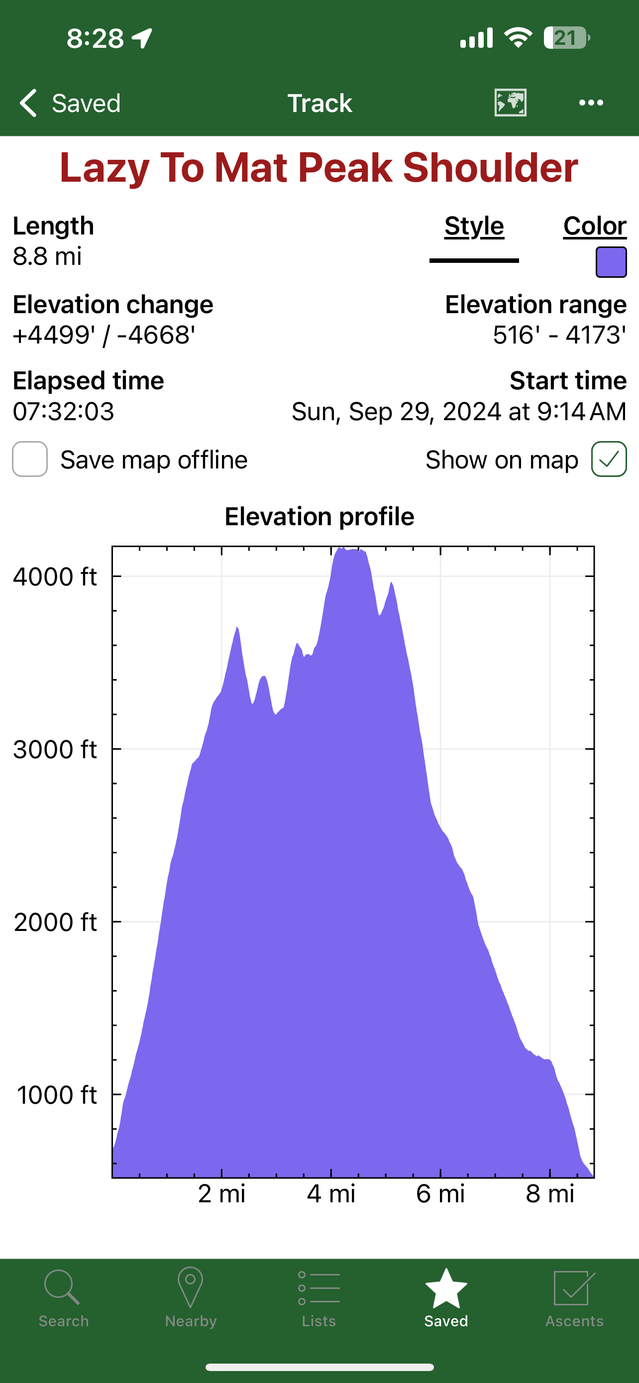
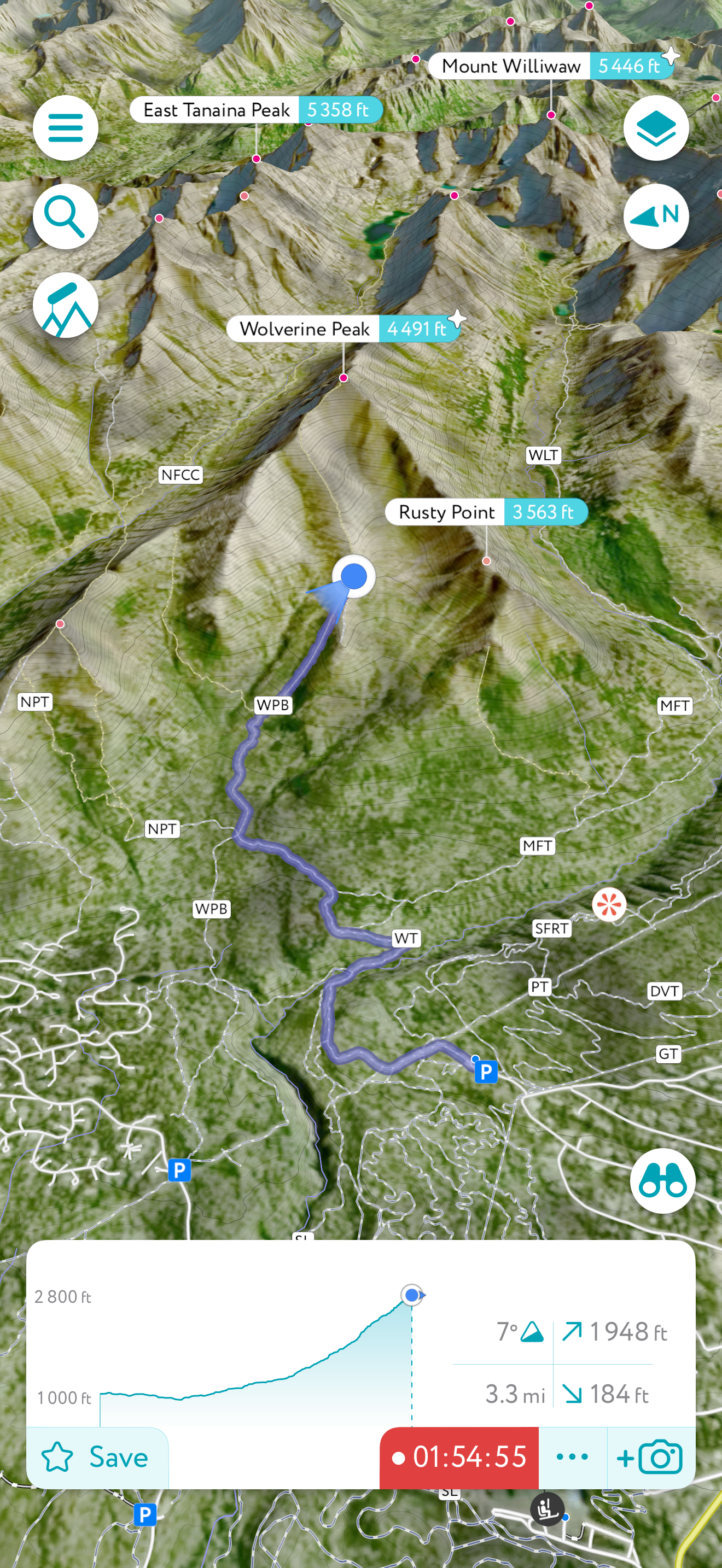
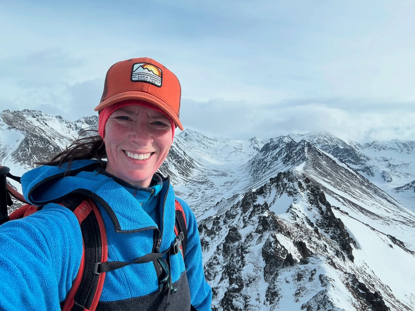
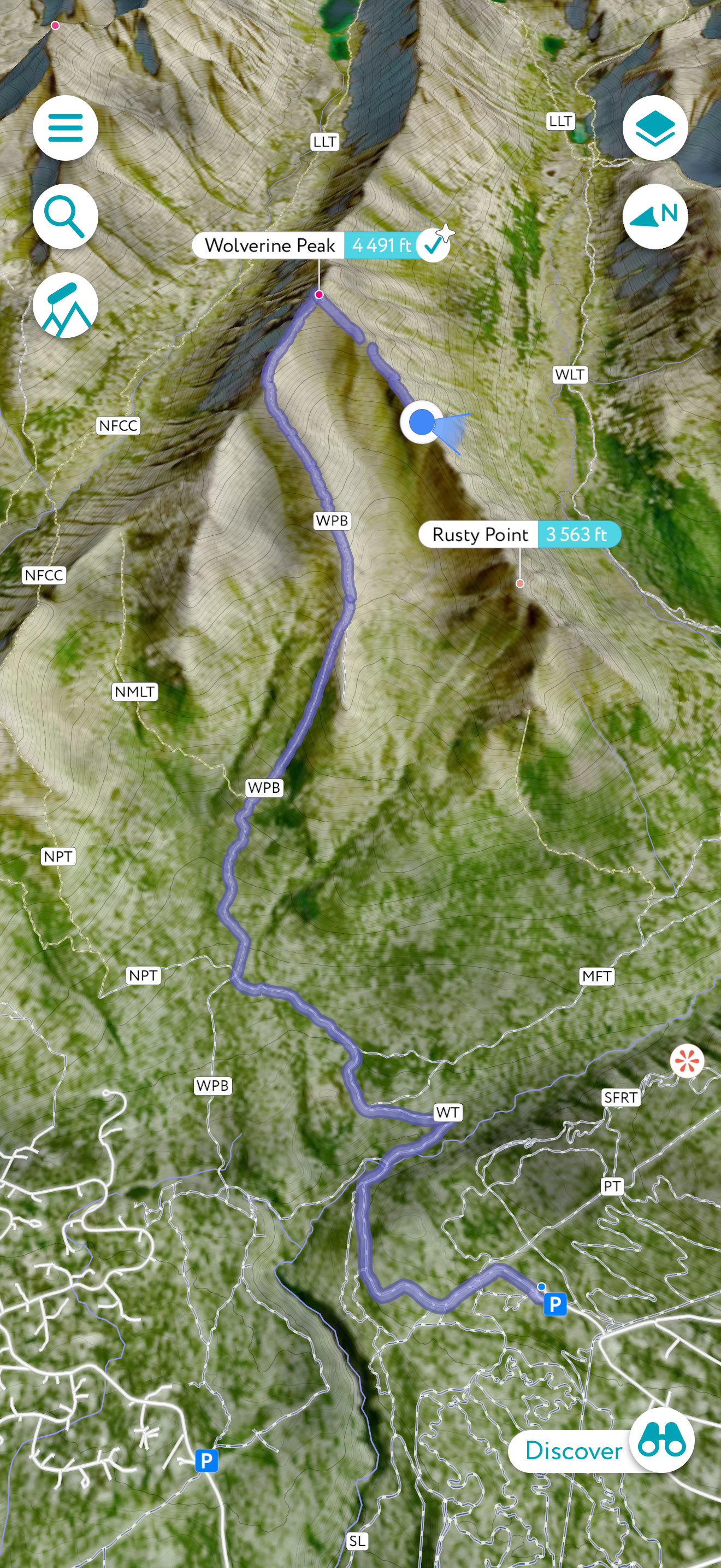
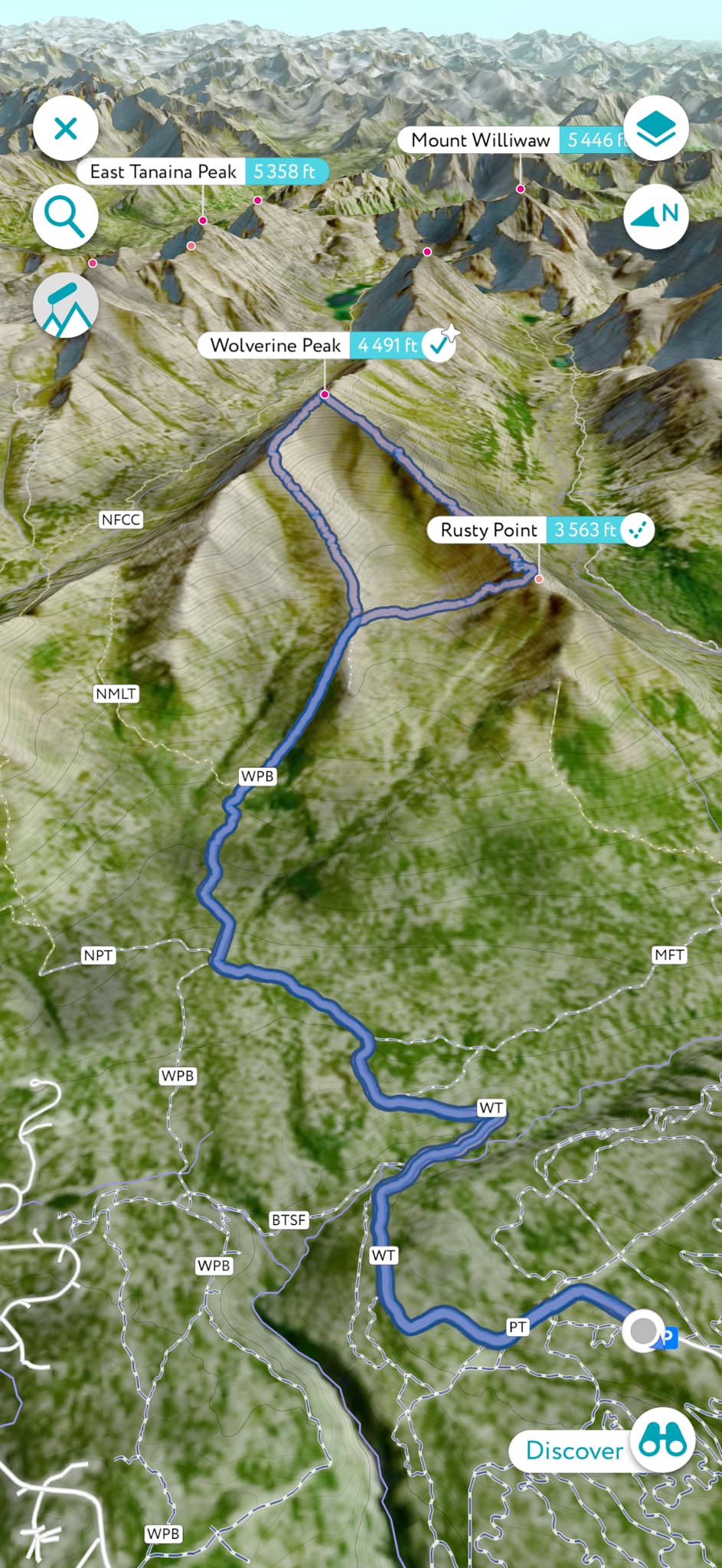
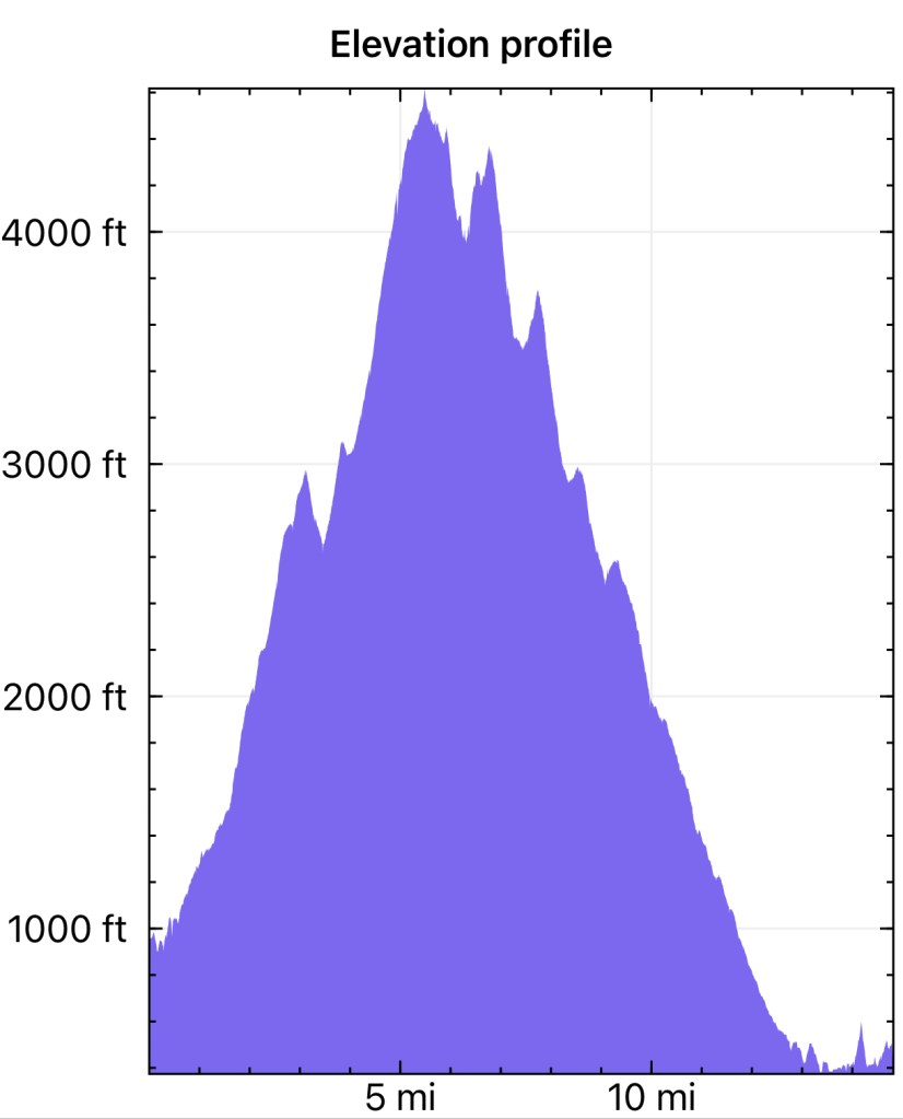
May 31, 2025
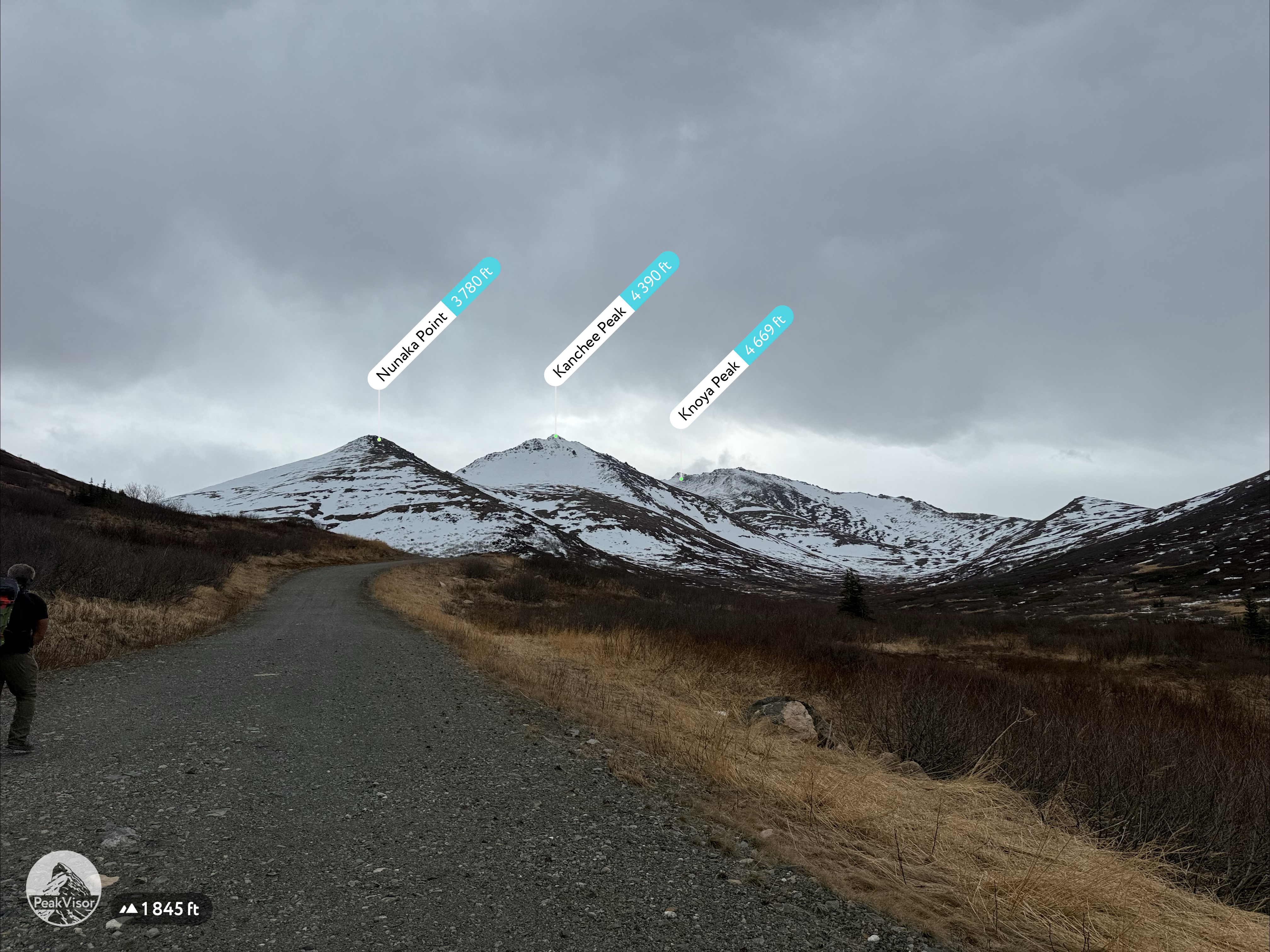
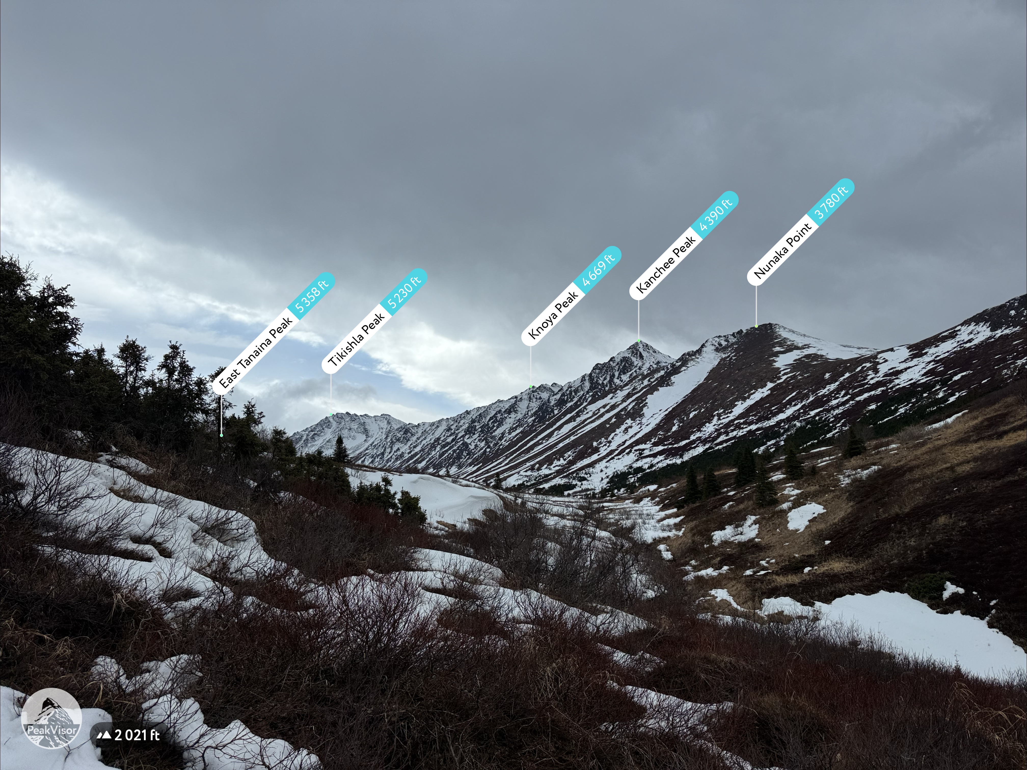
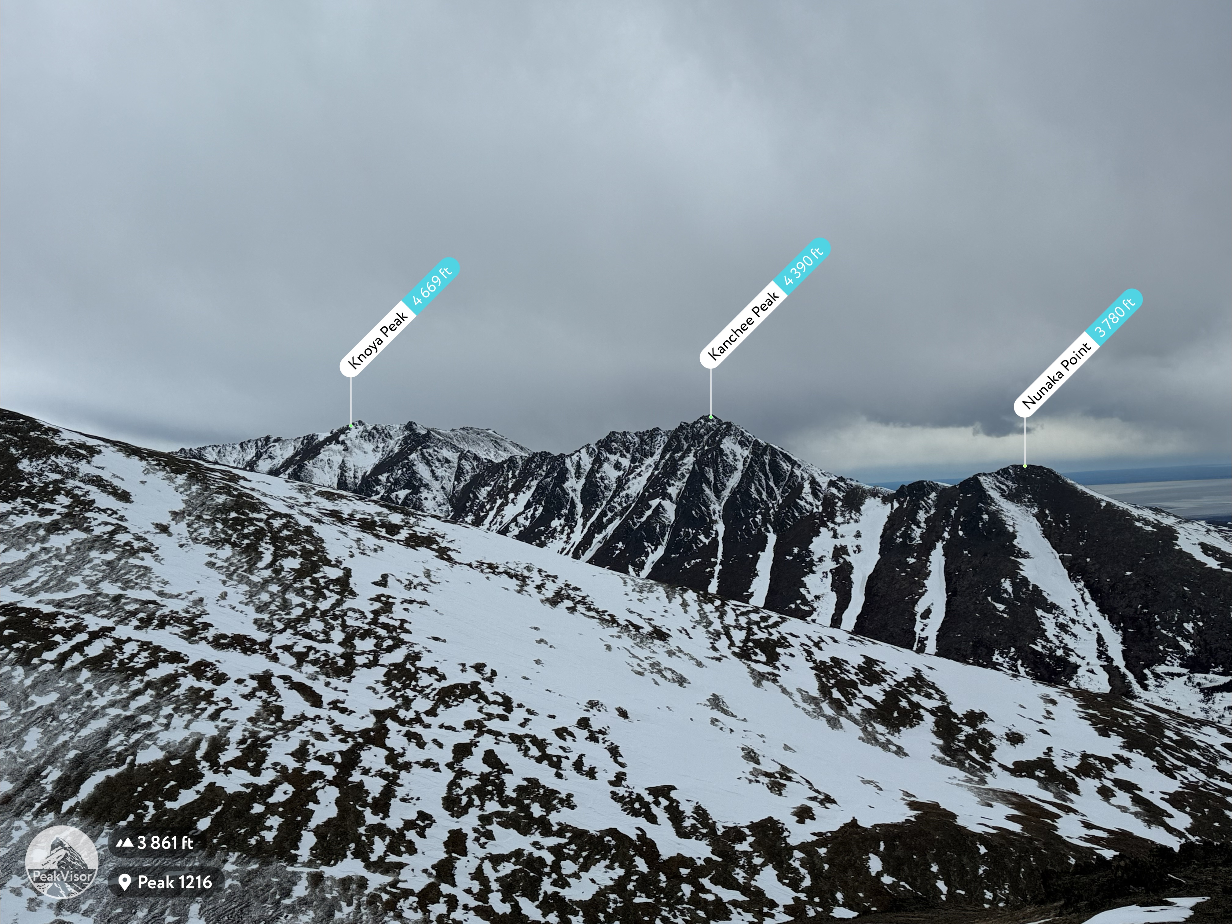
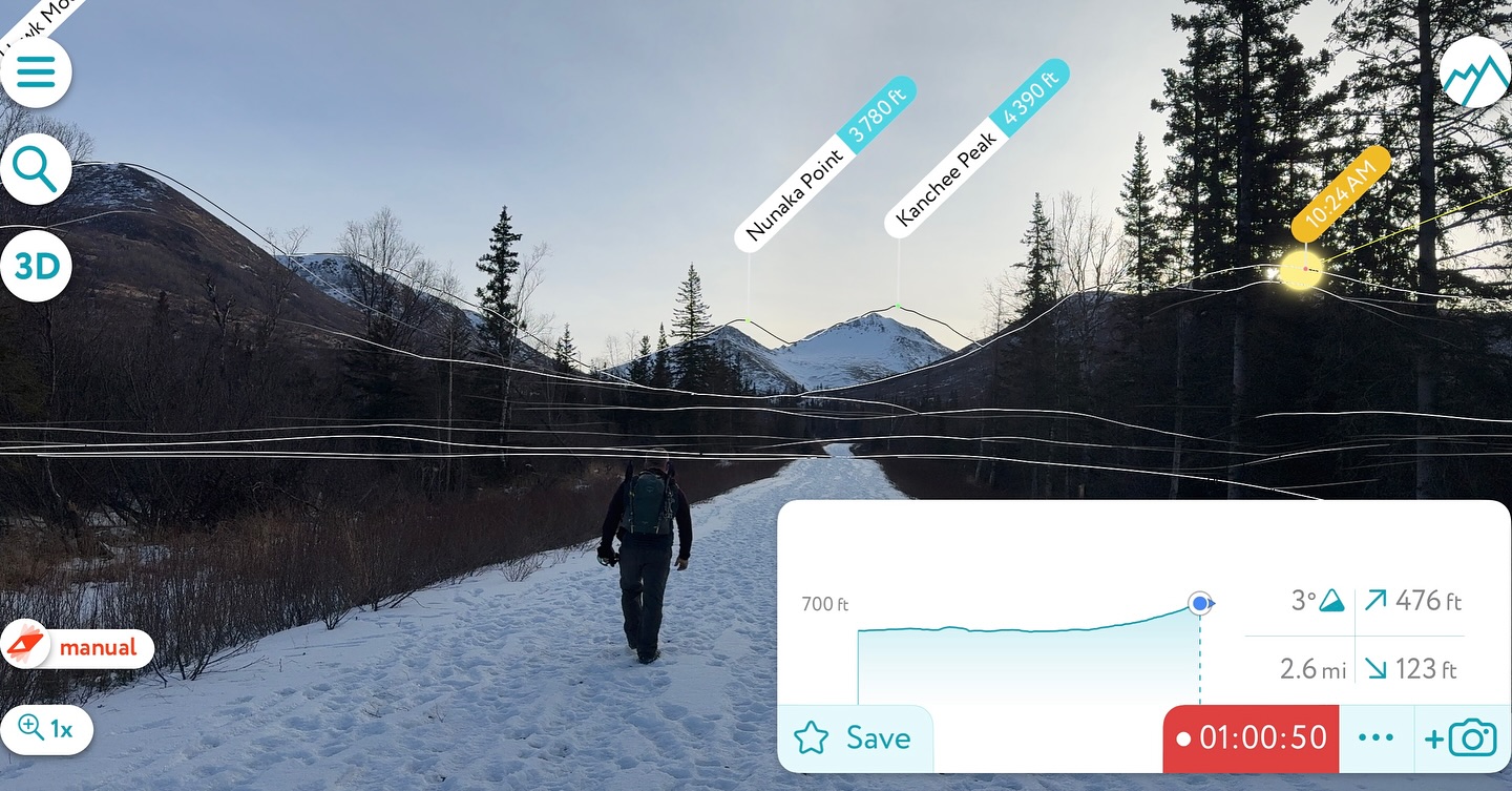
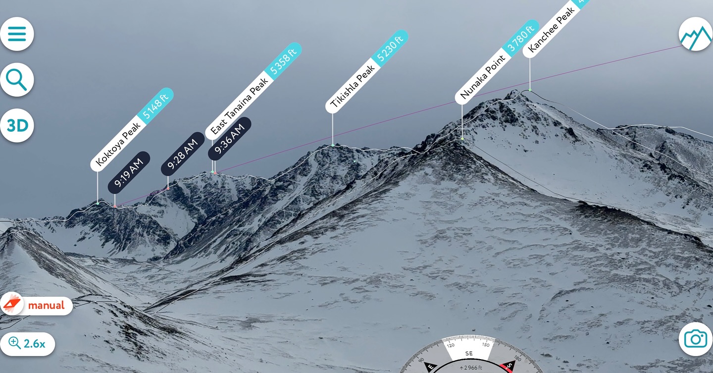
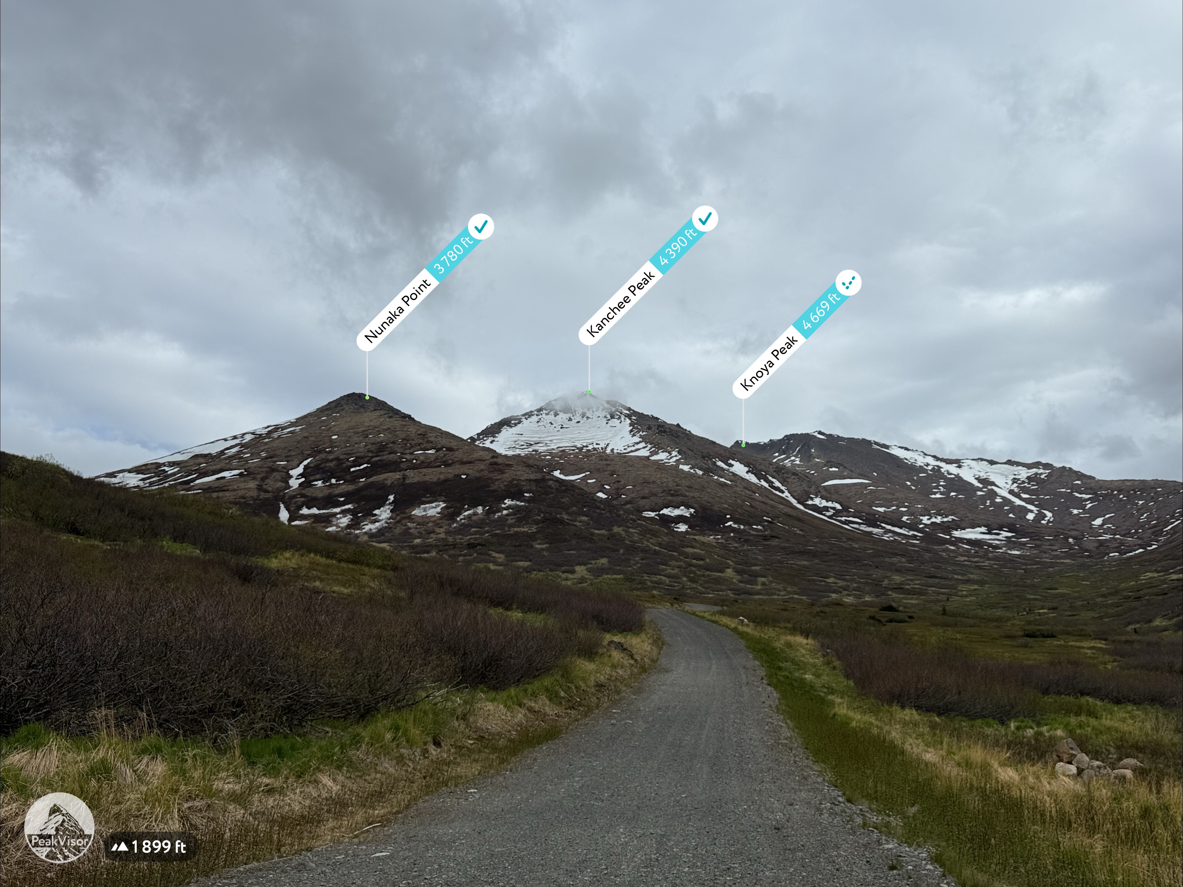
Knoya: 4600′ – FR #17
Kanchee: 4393′ – FR #20
Nunaka point: 3780′
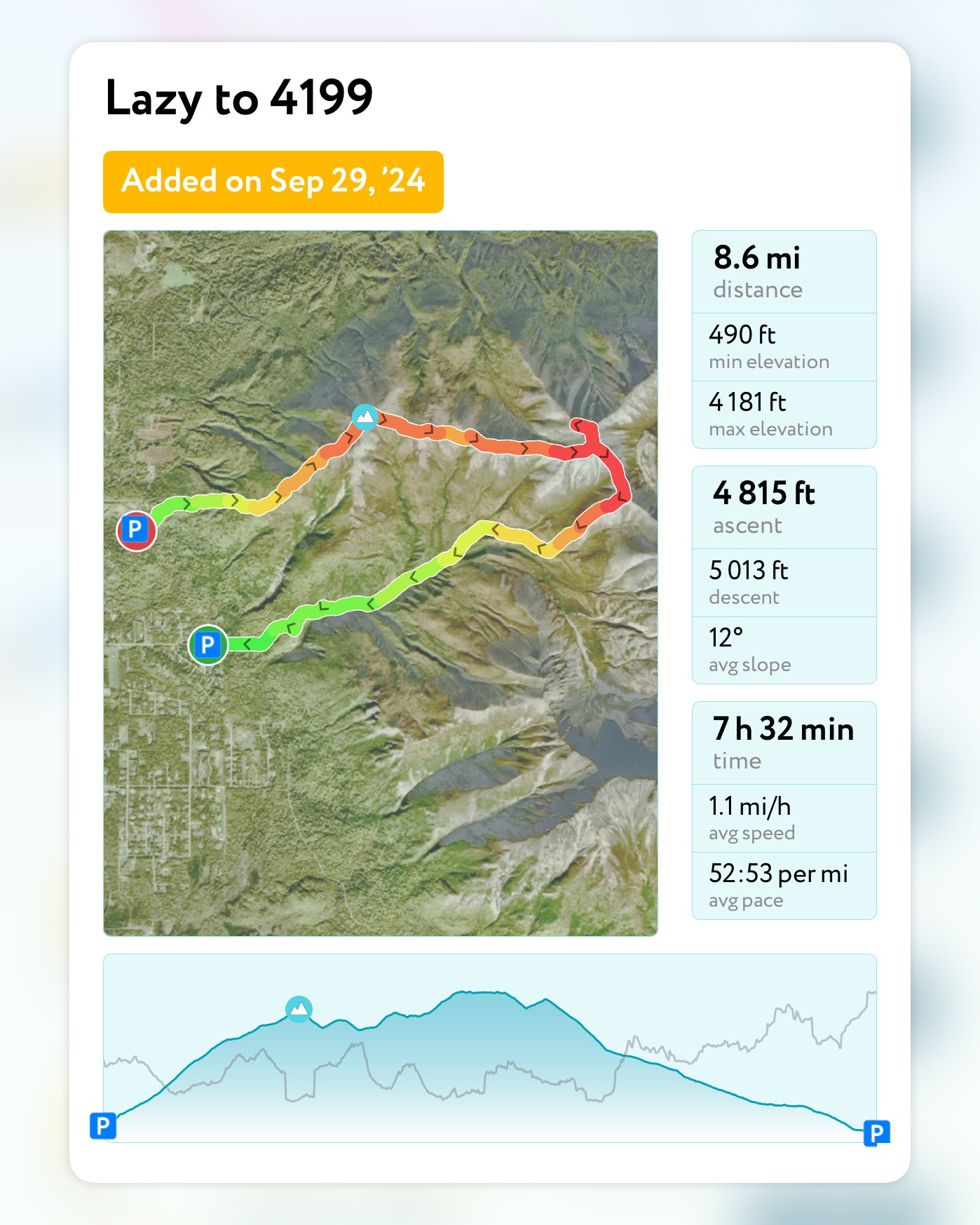
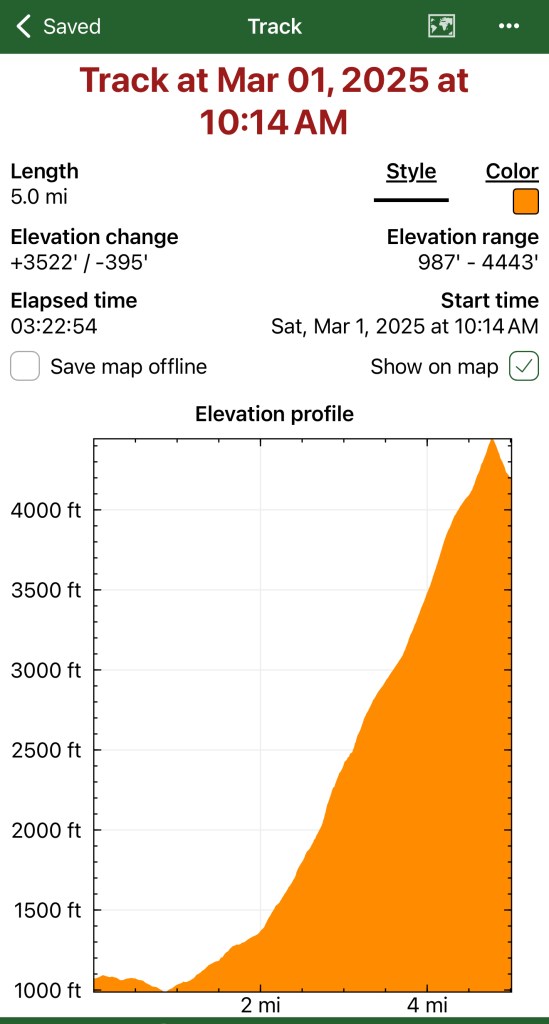
Mileage: ~14 Miles
Elevation Gain: ~5000′
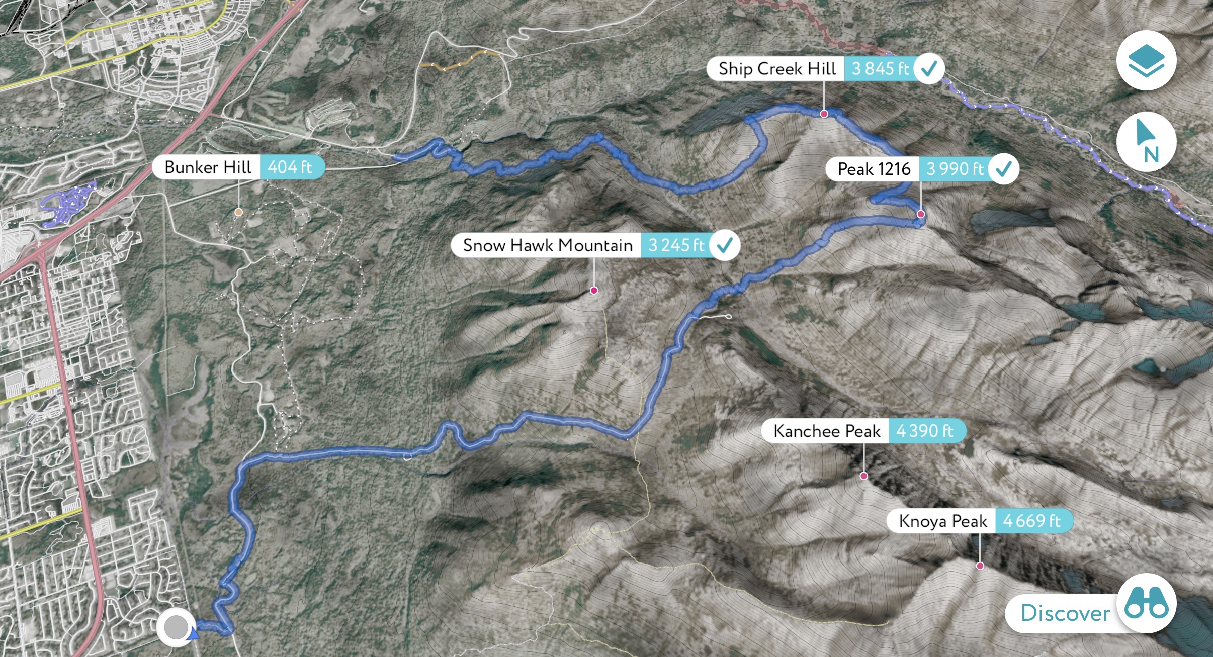
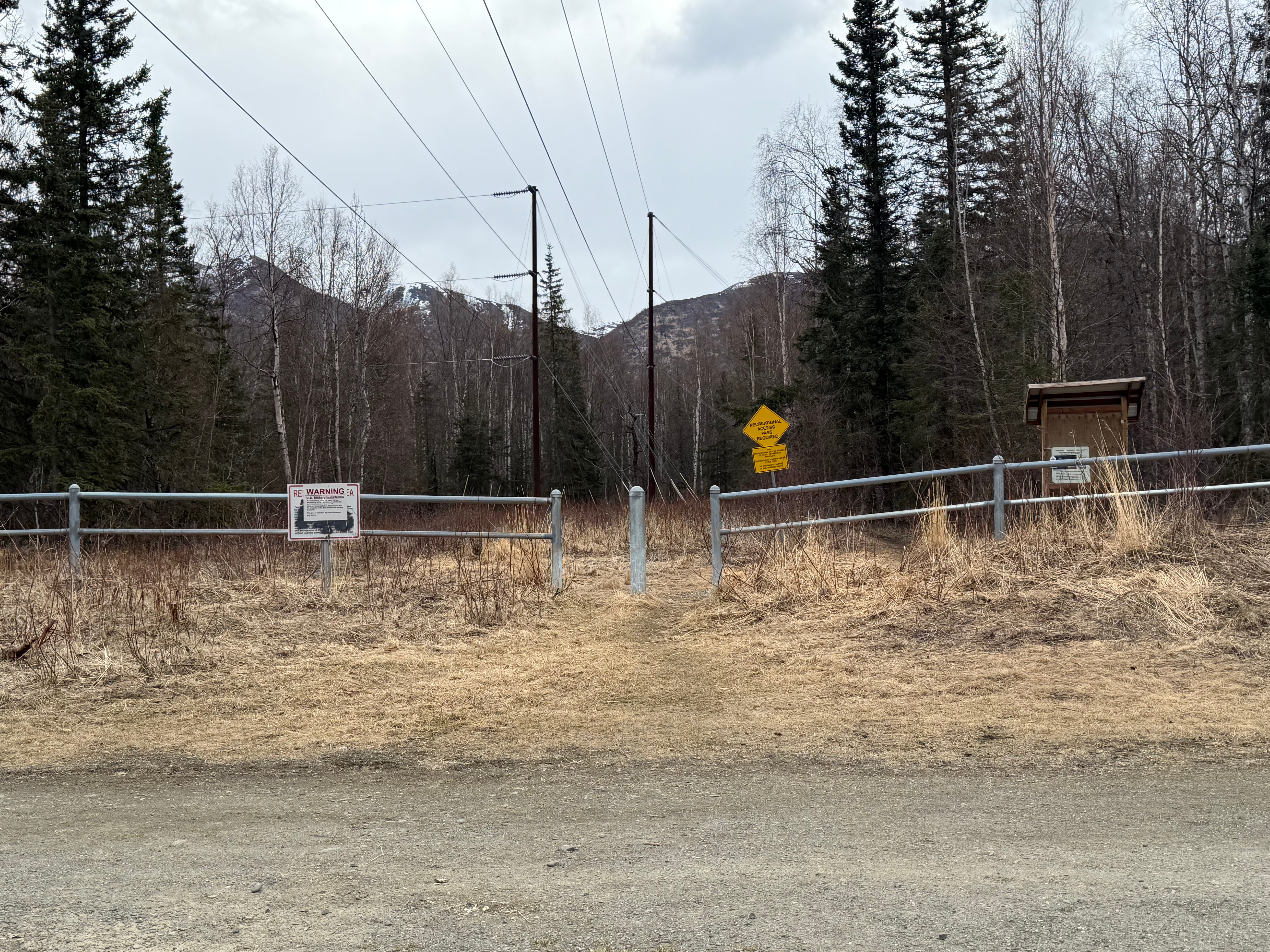
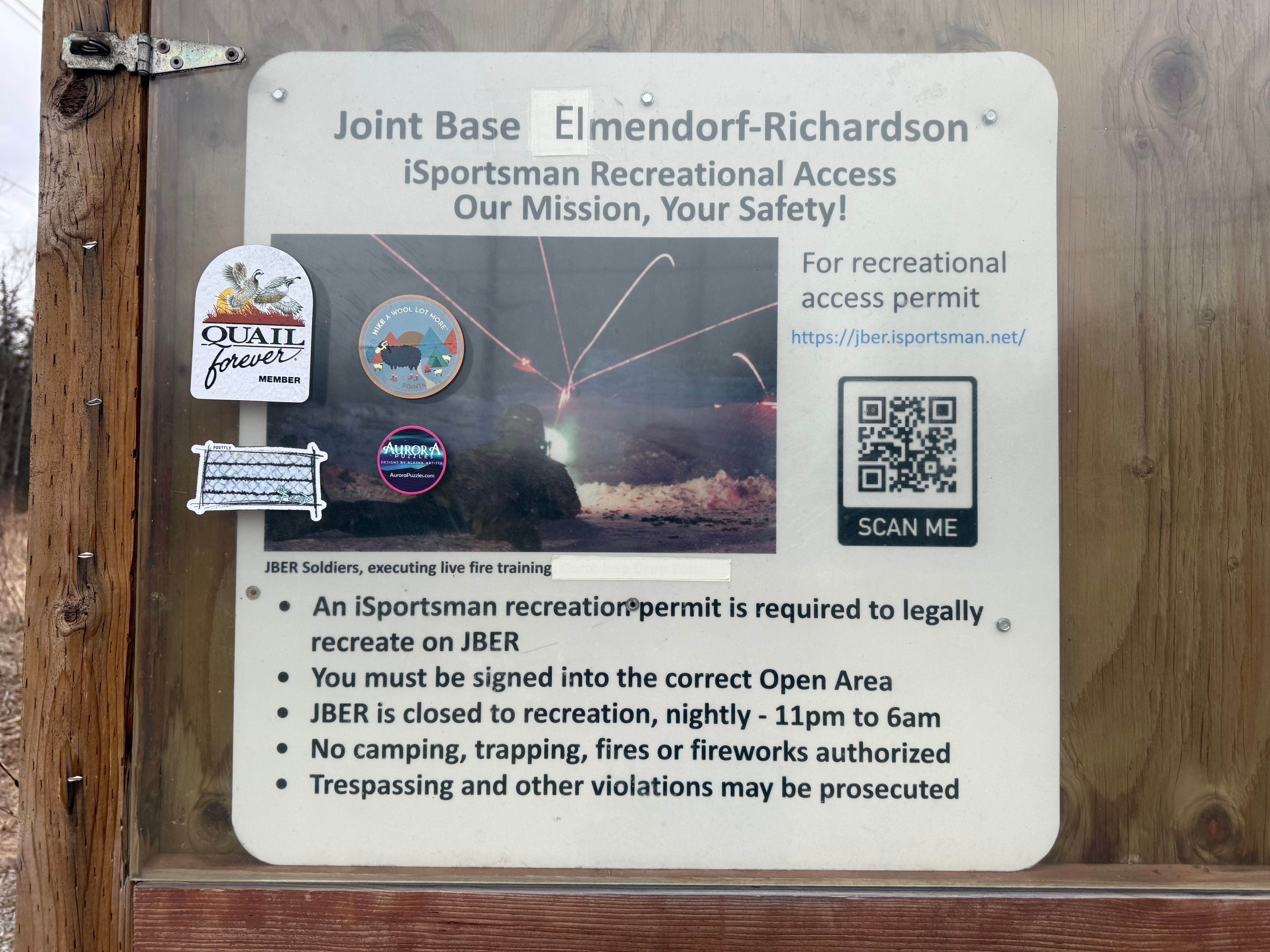
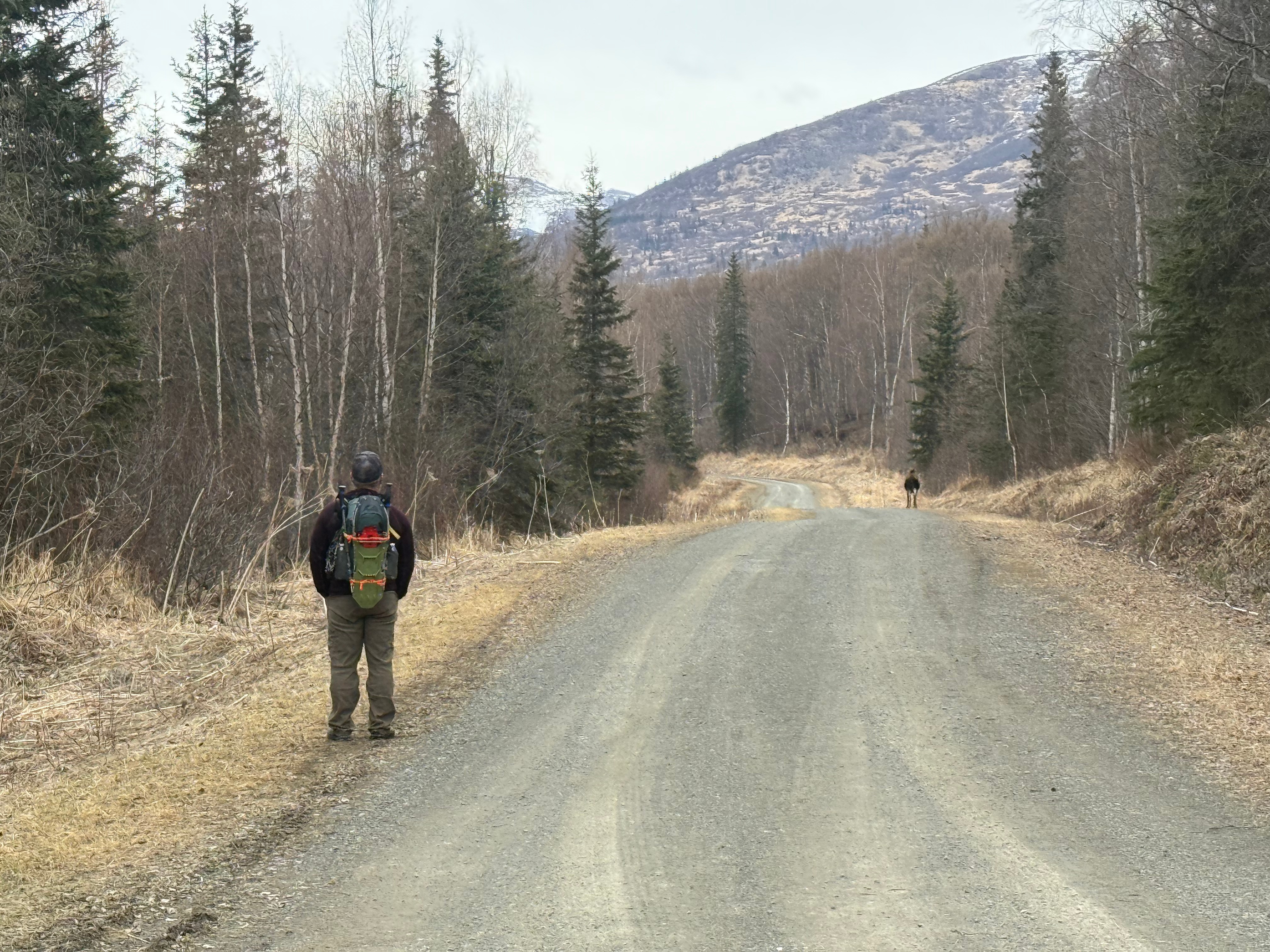
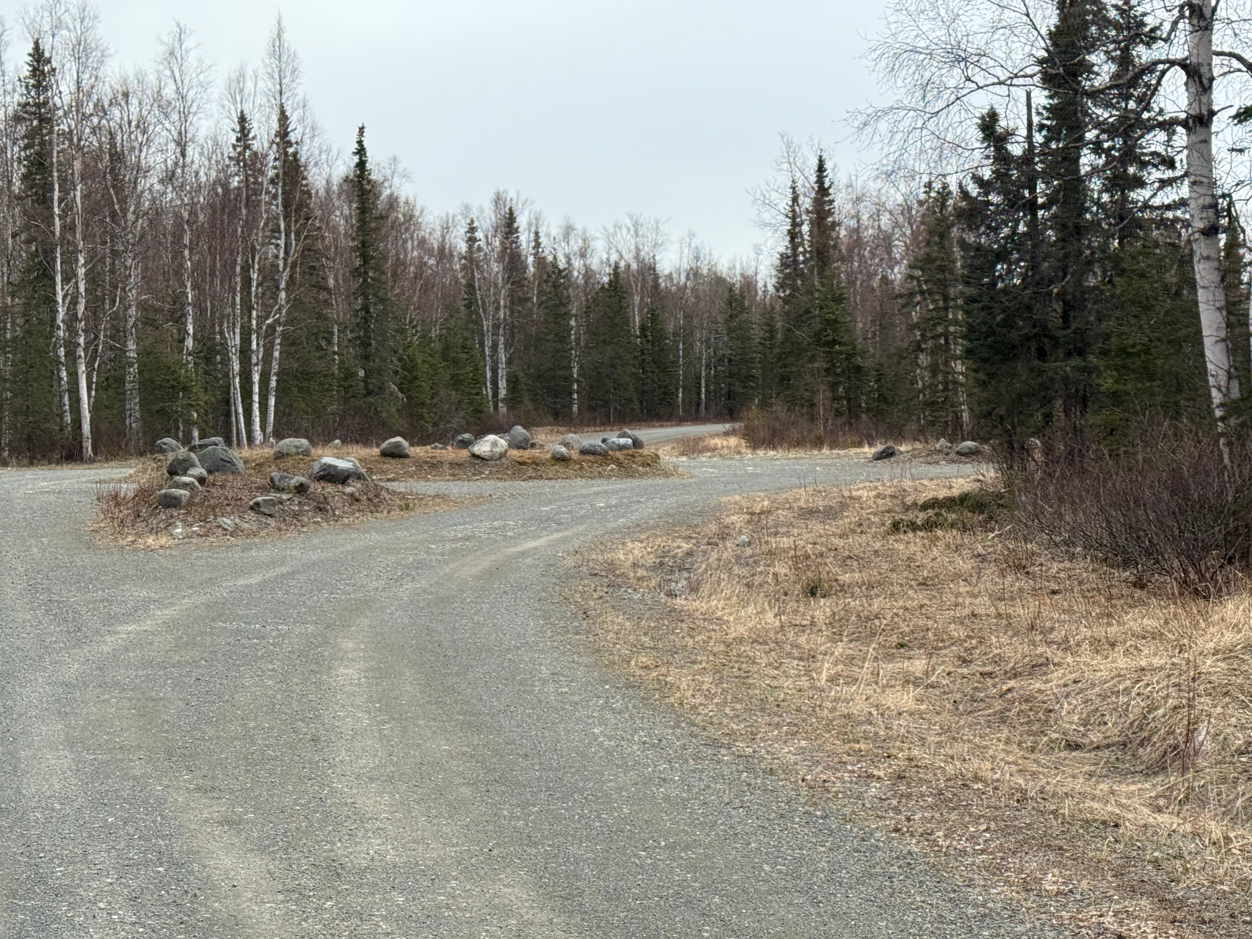
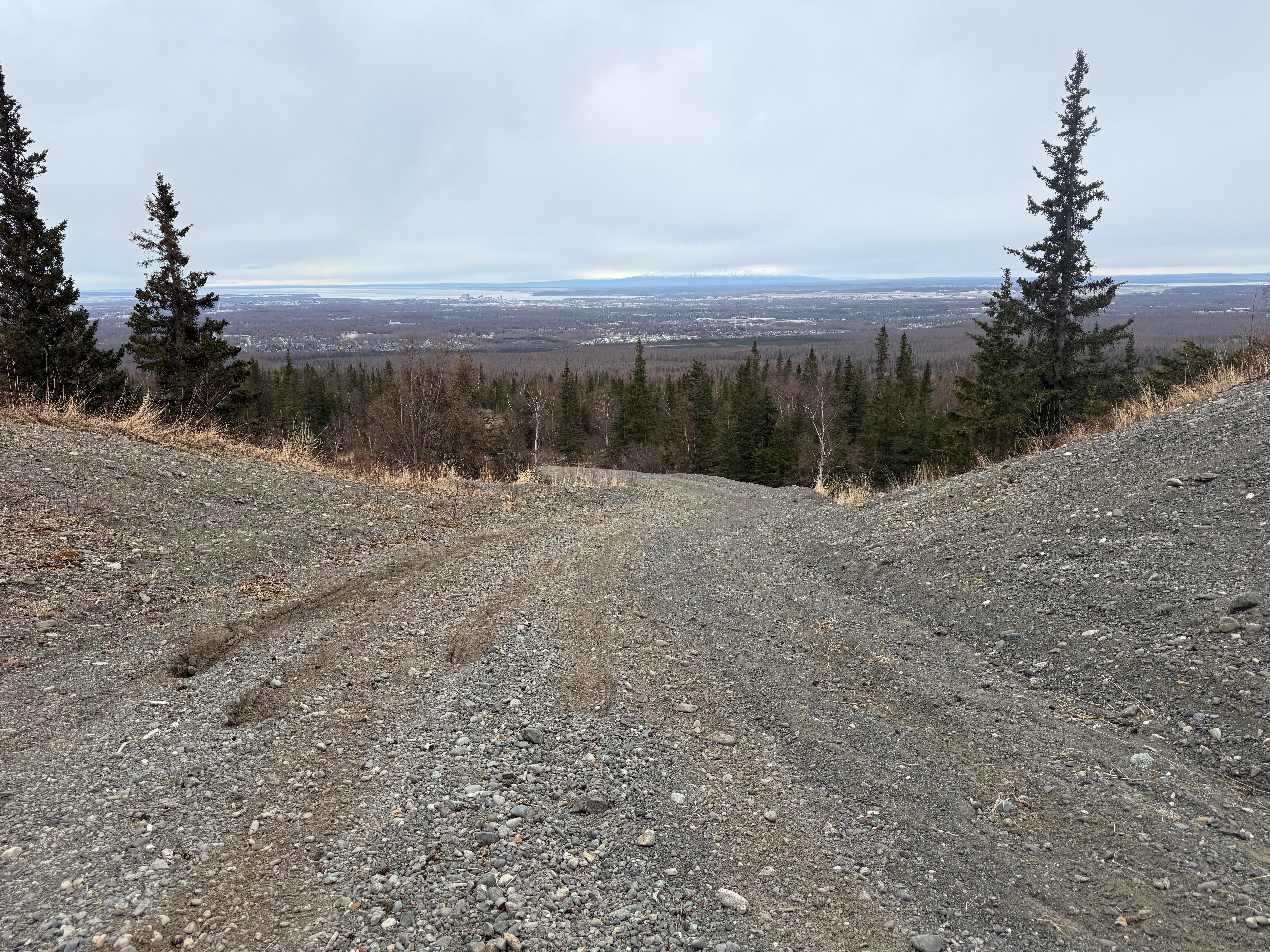
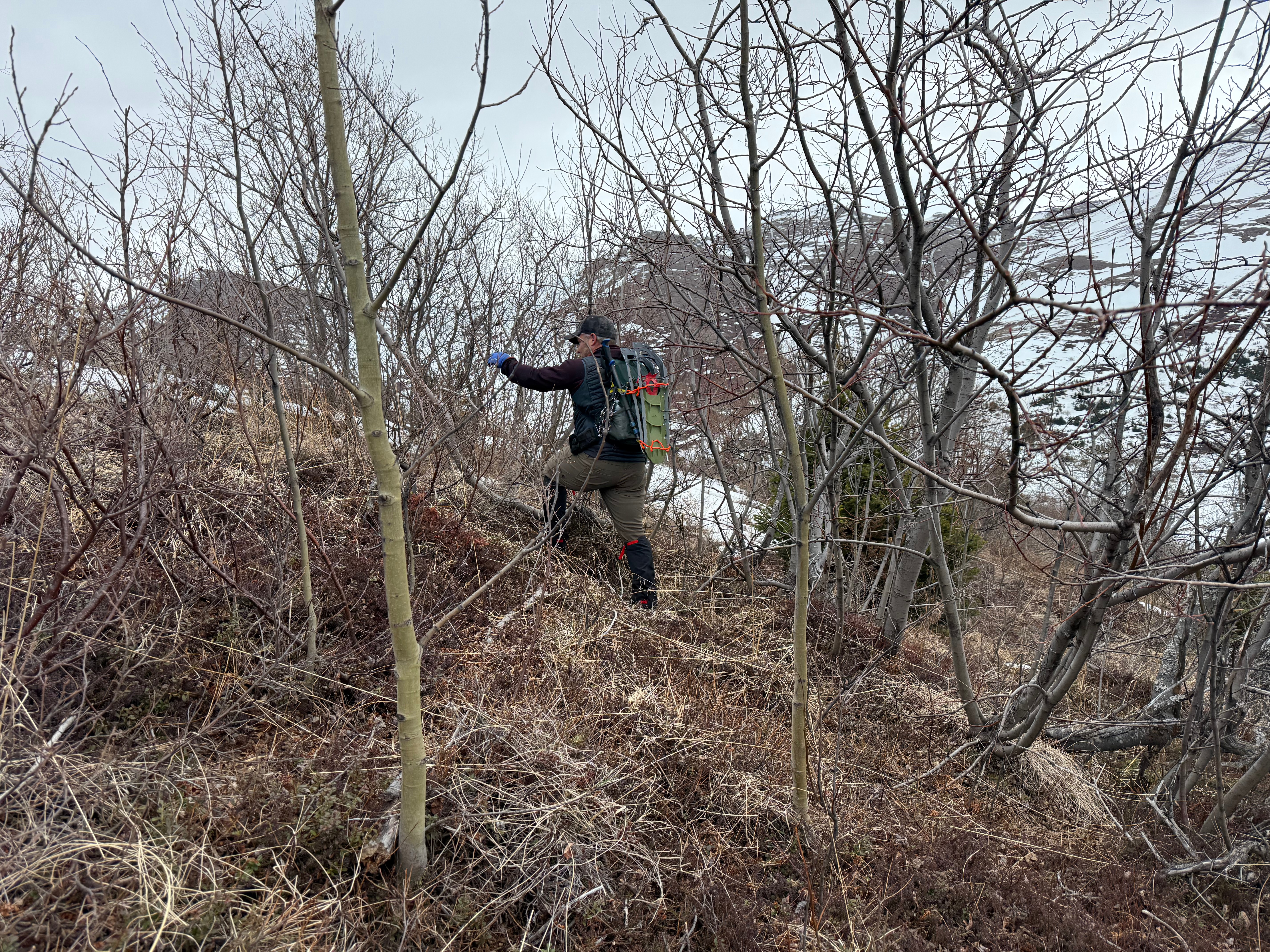
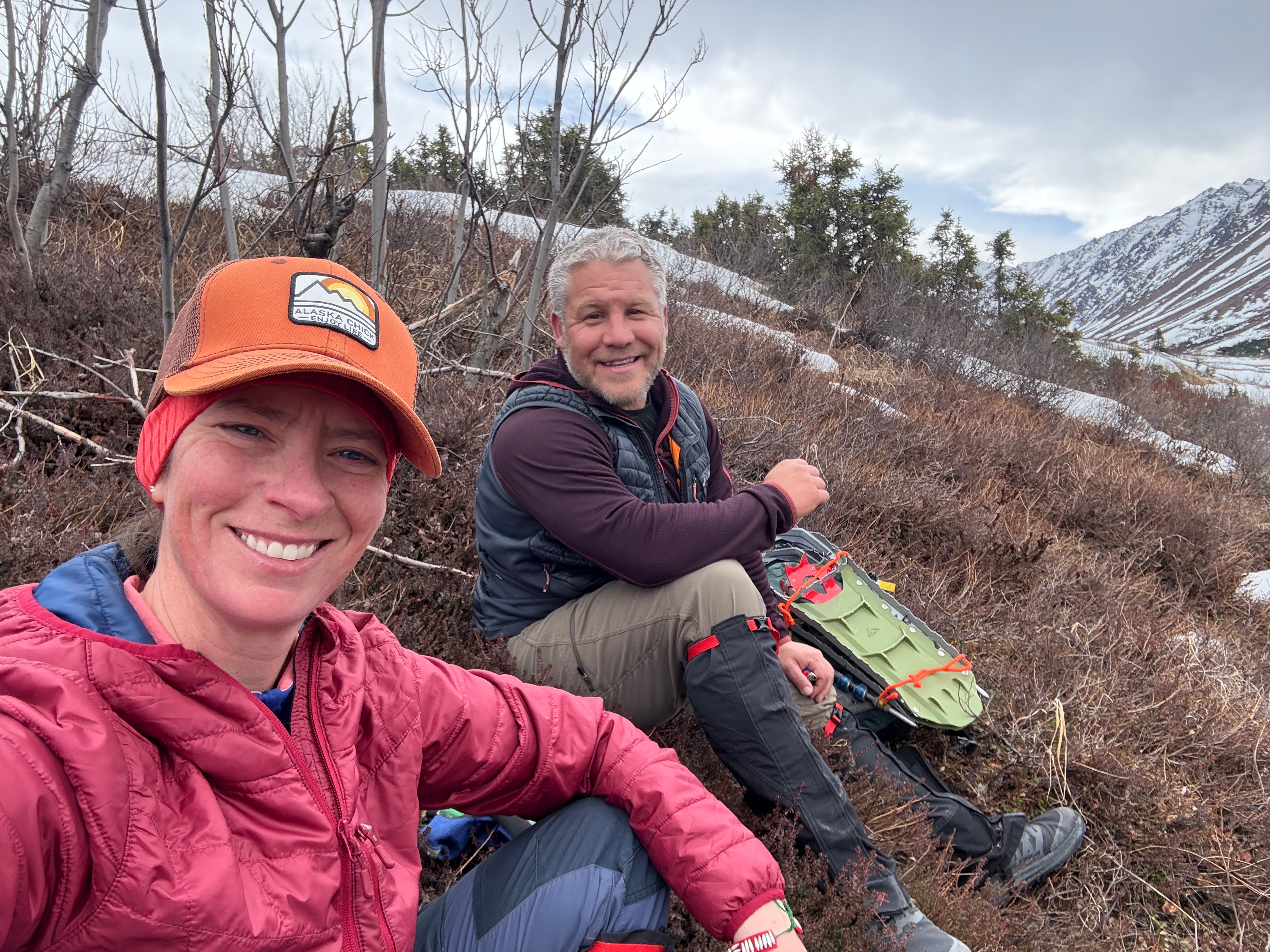
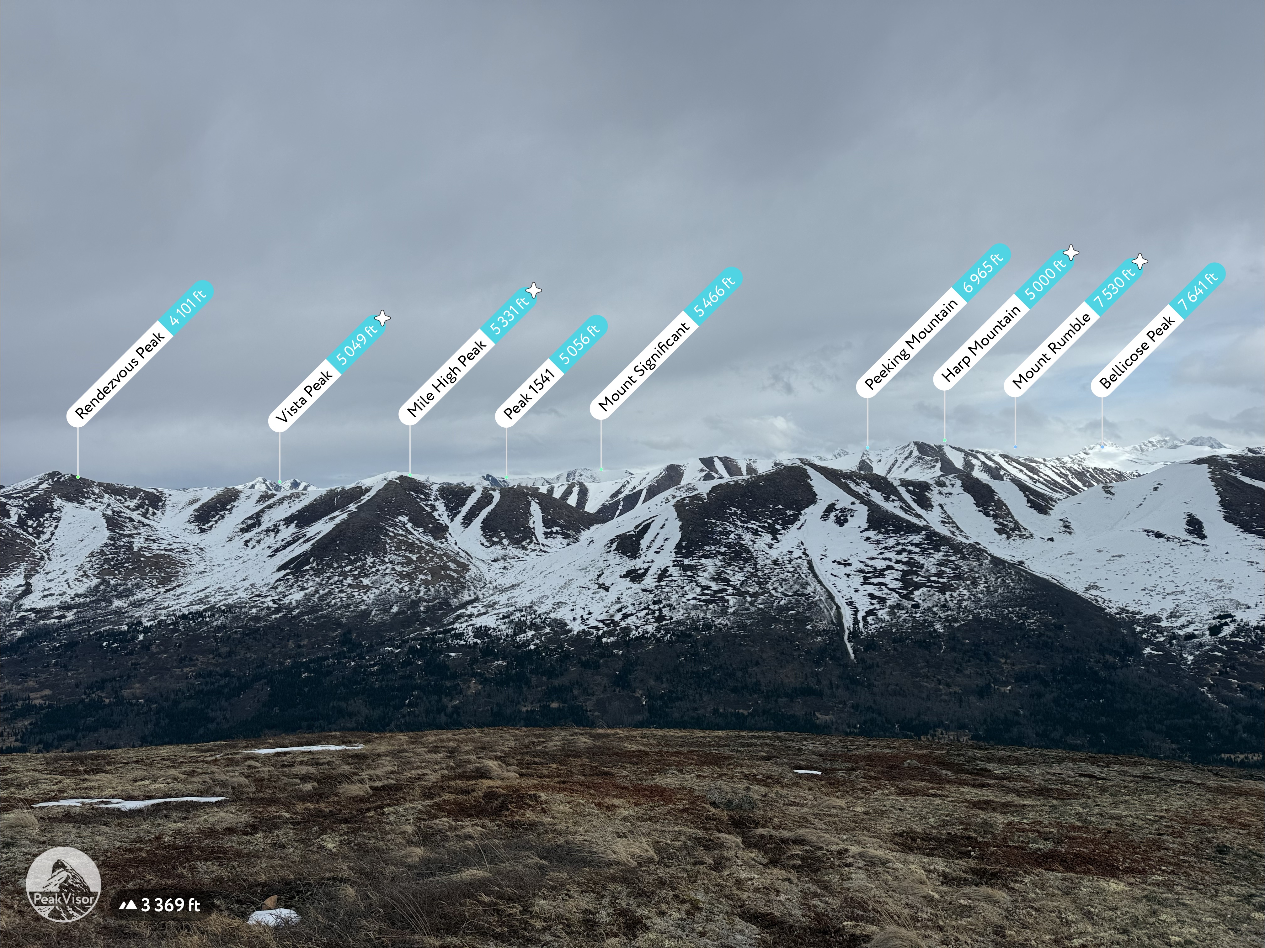
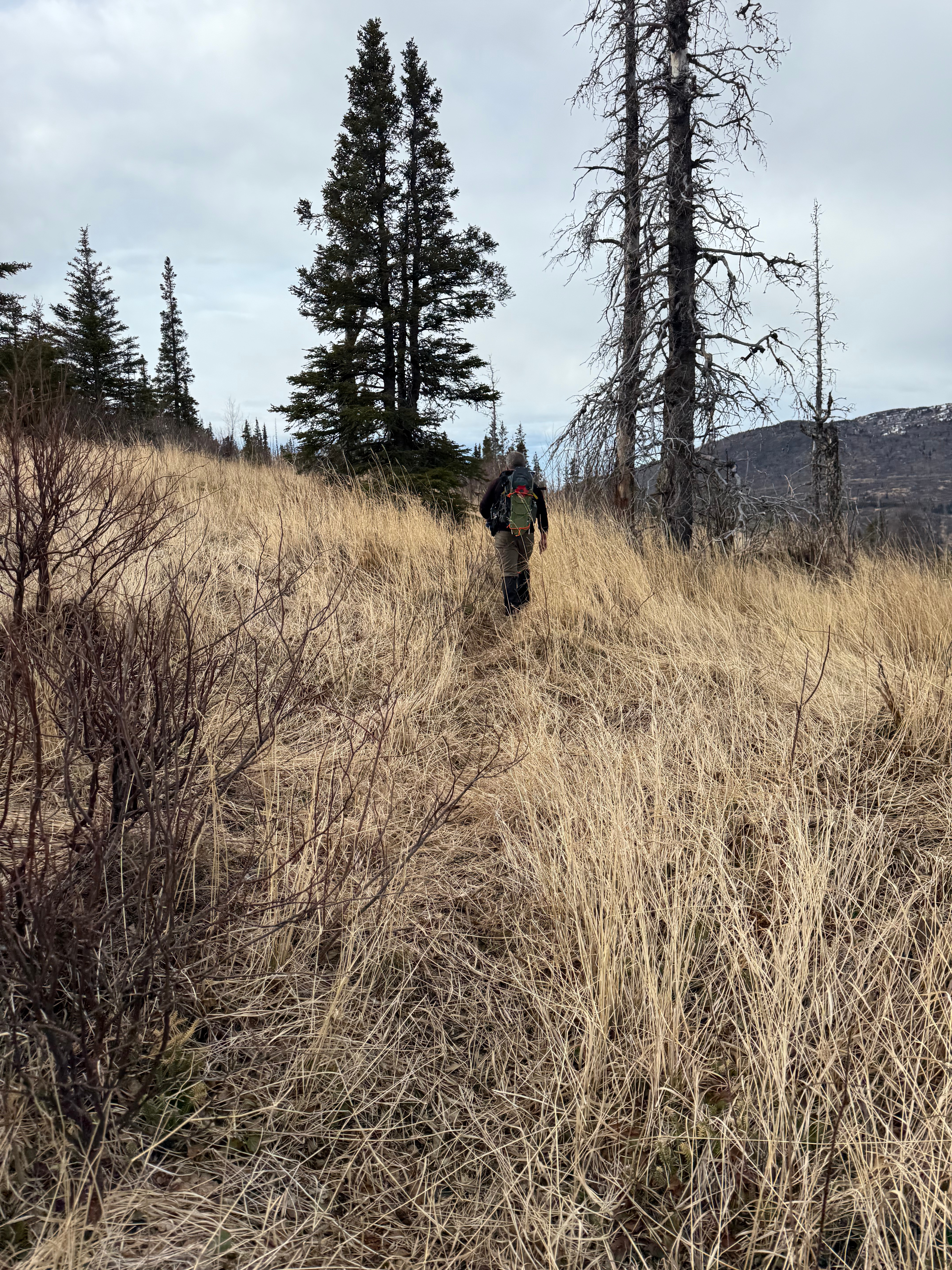
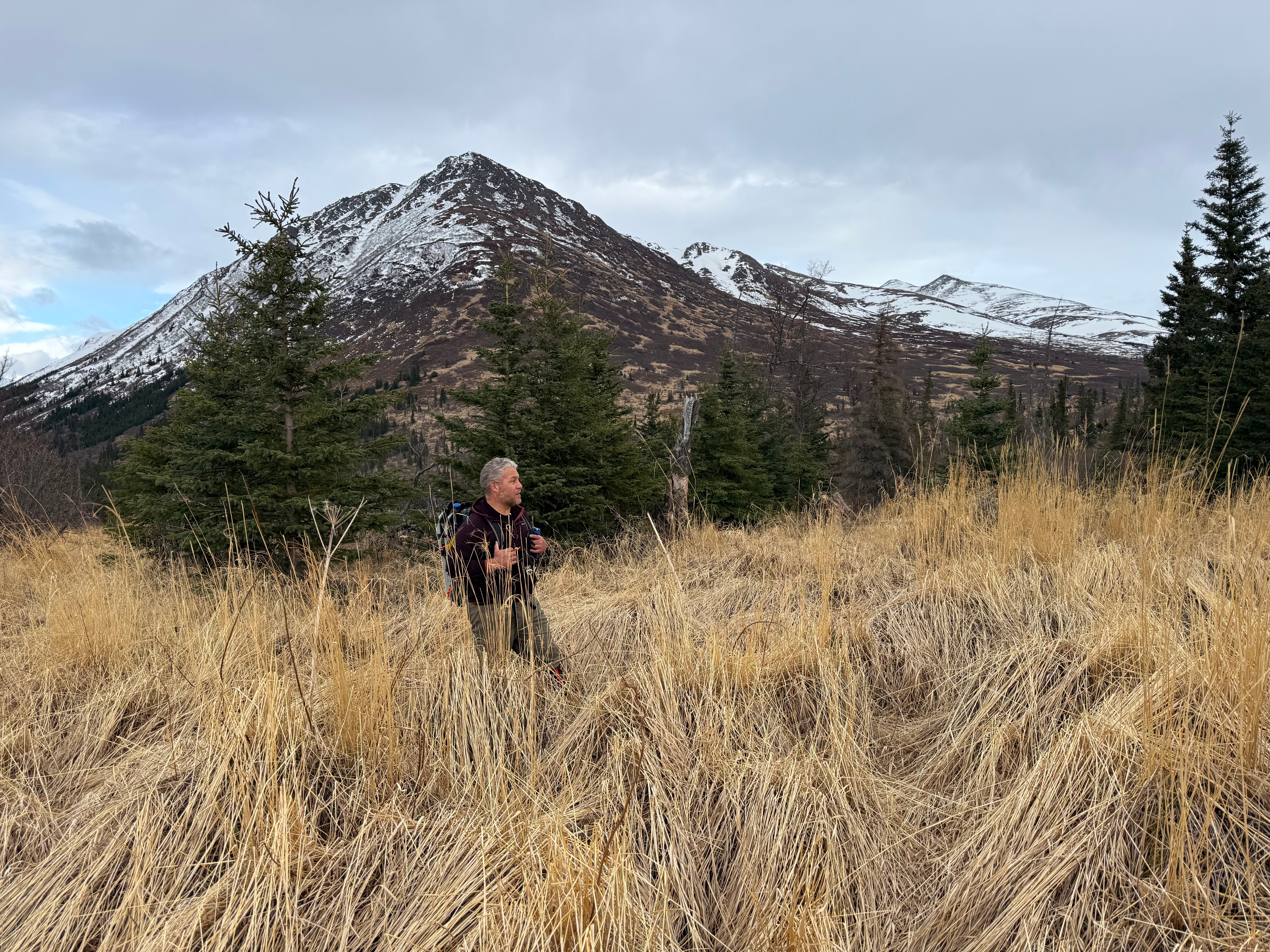
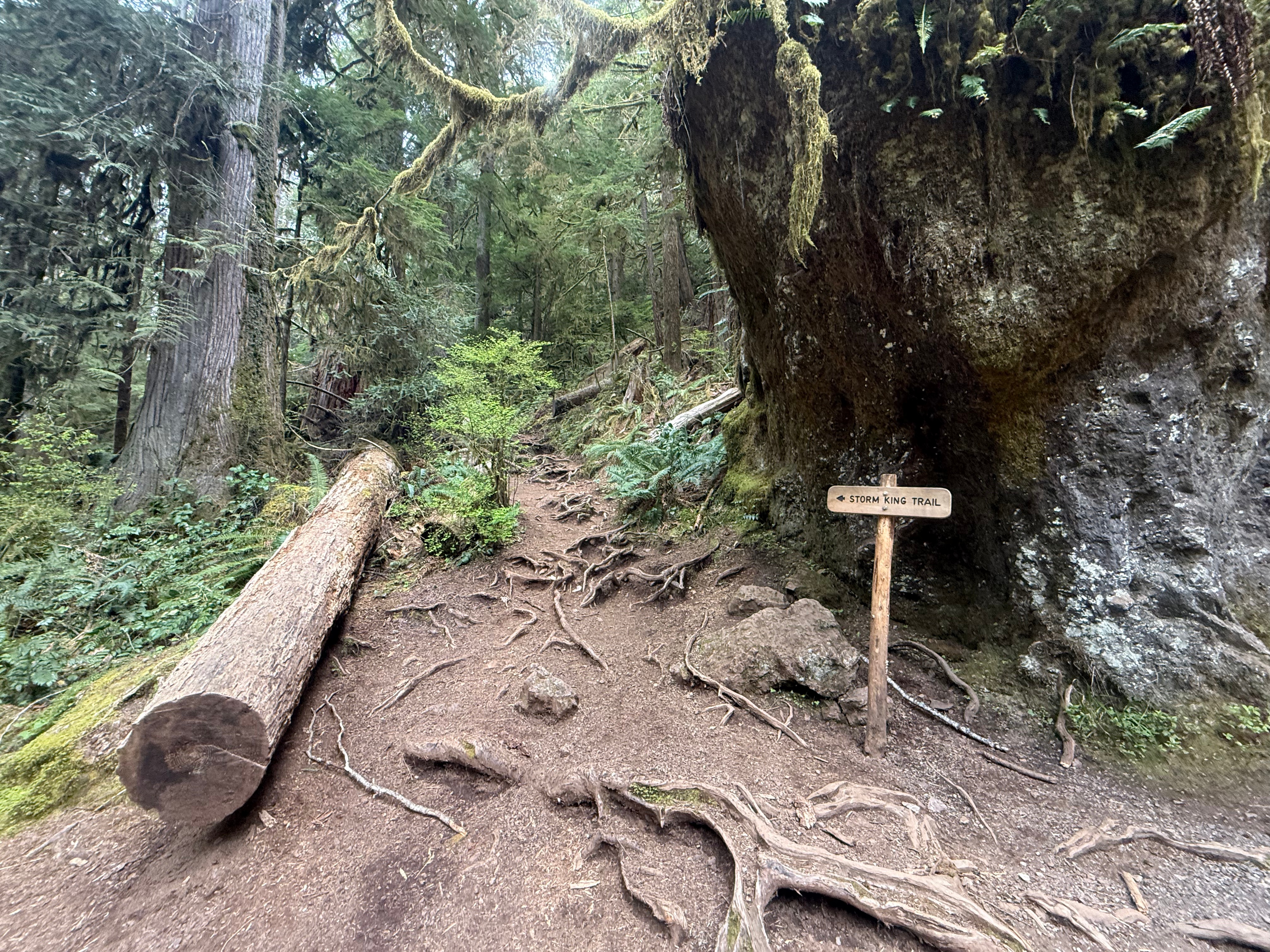
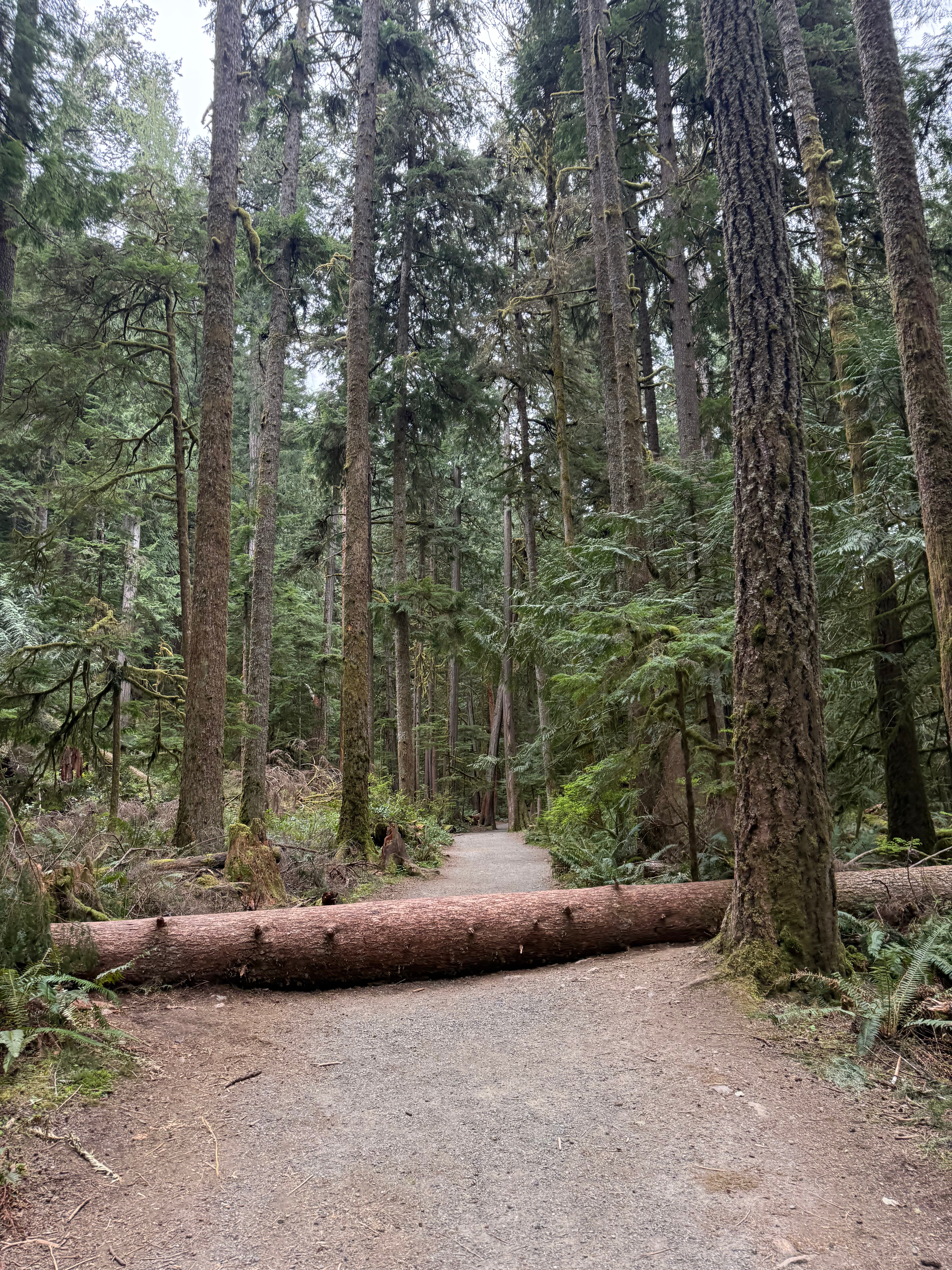
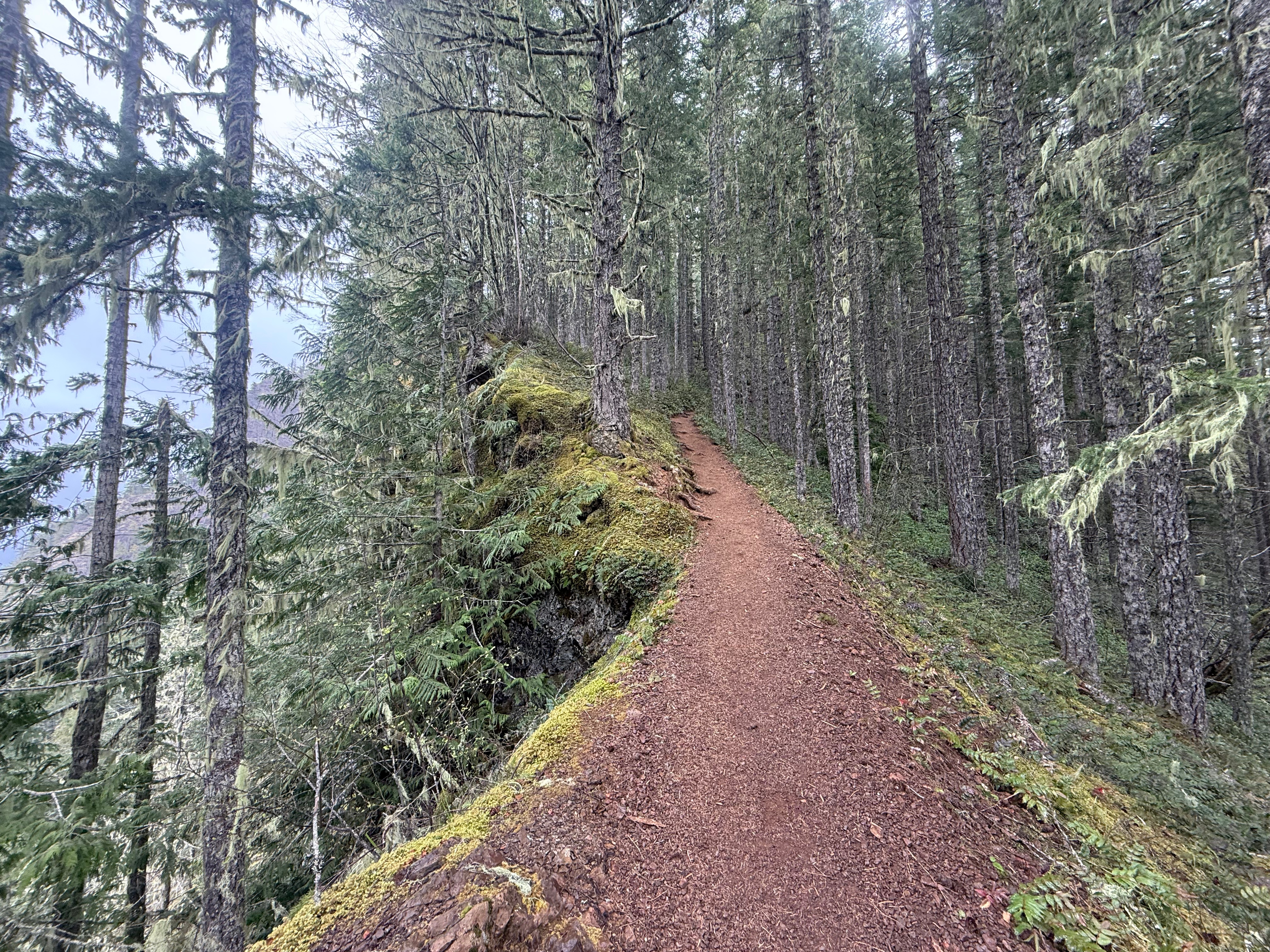
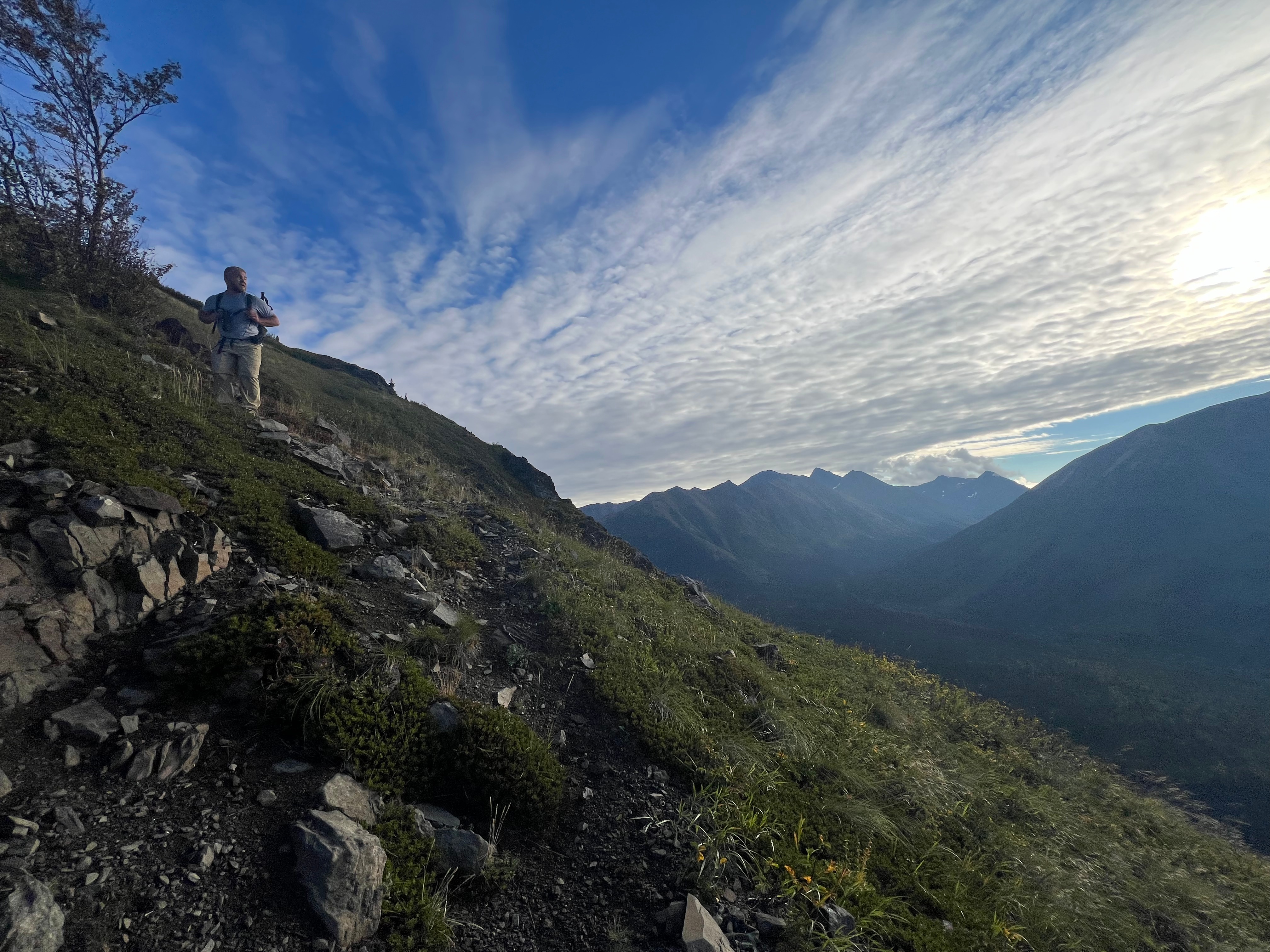
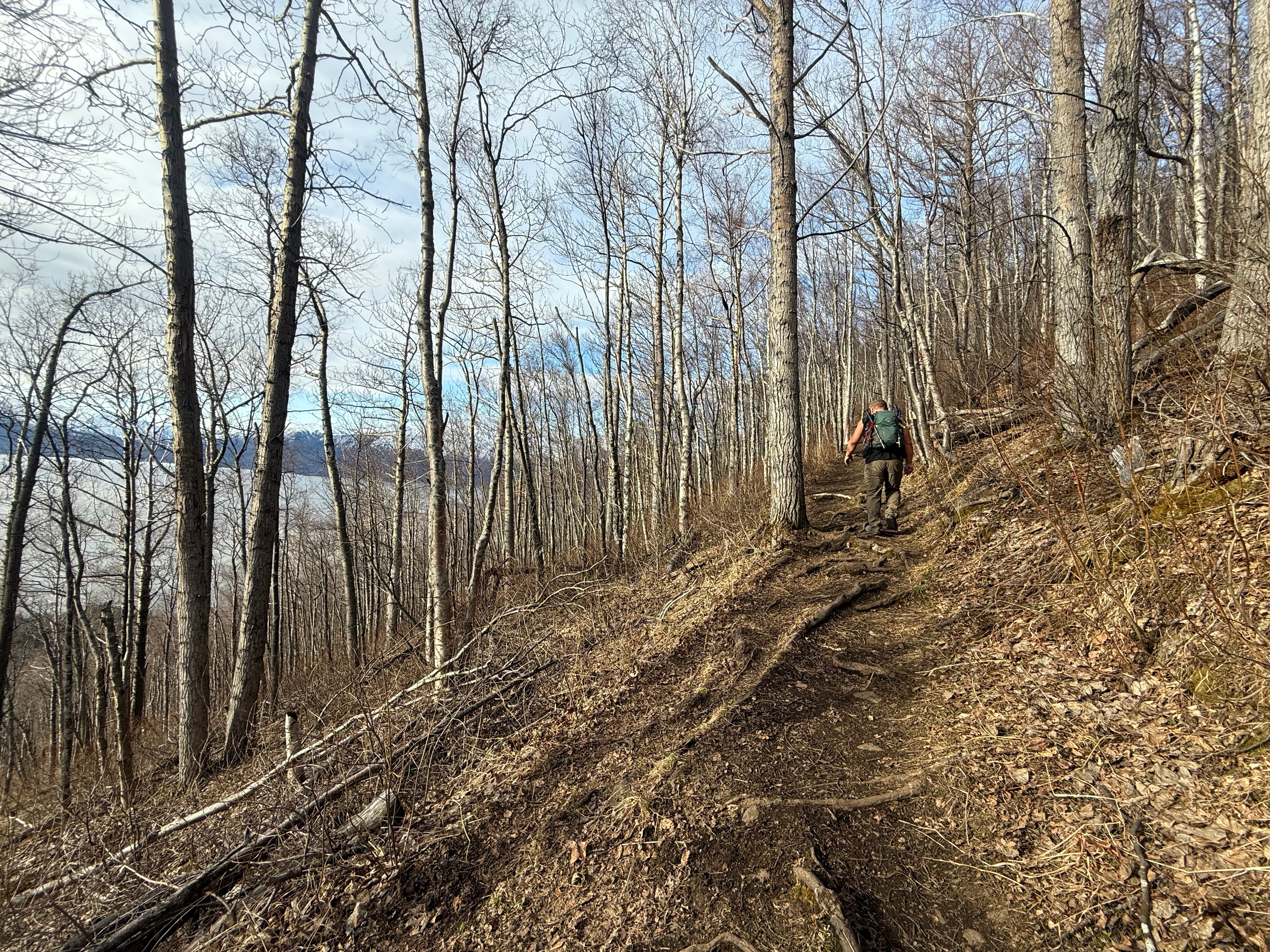
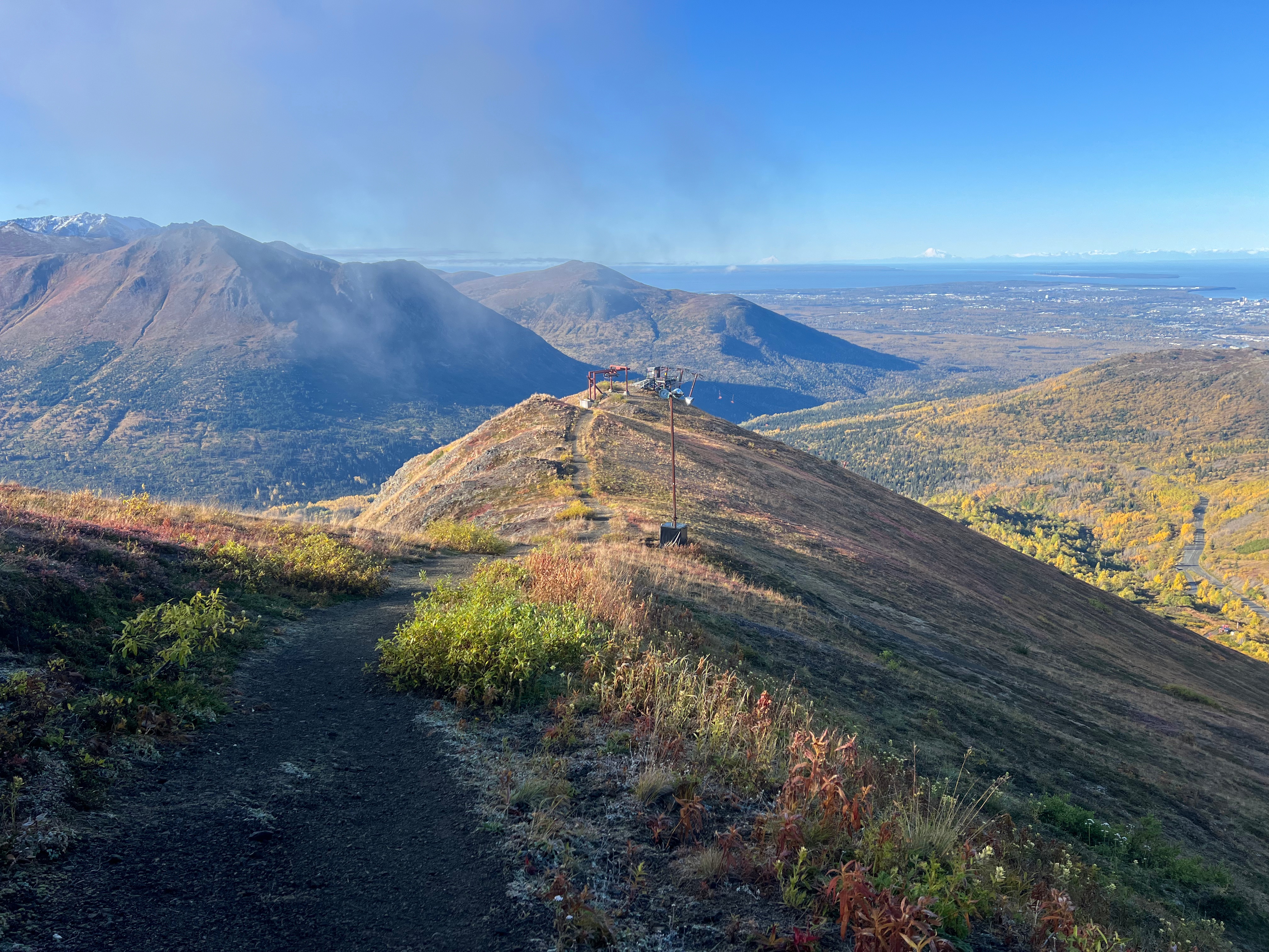
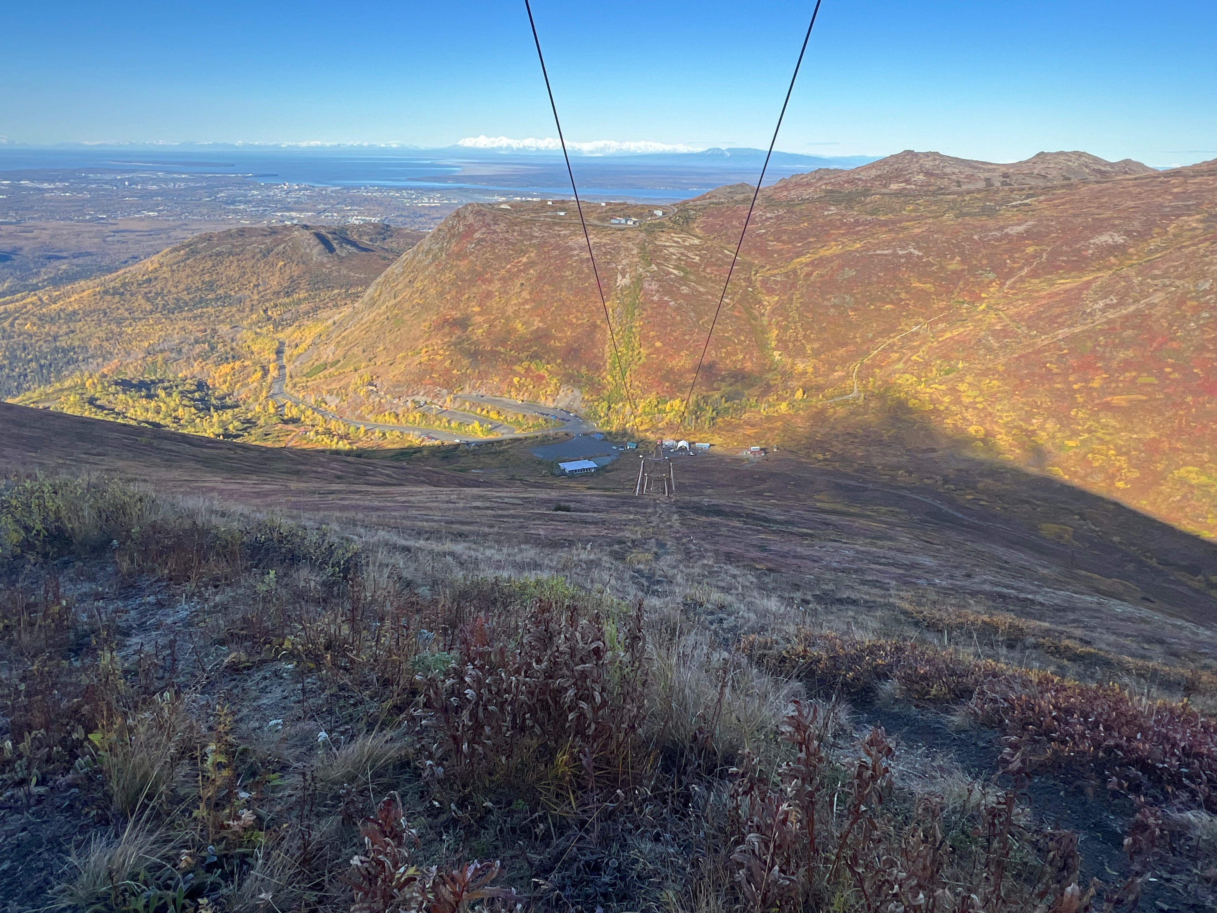
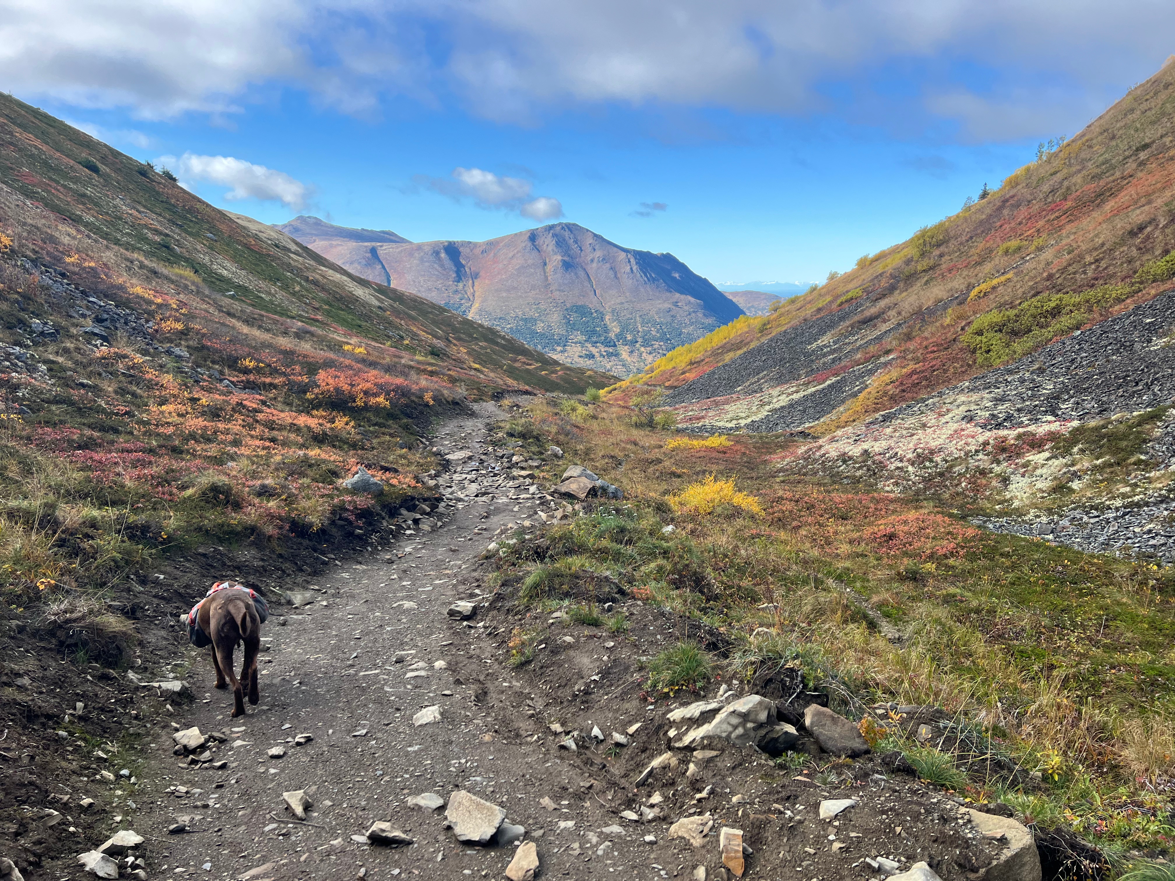
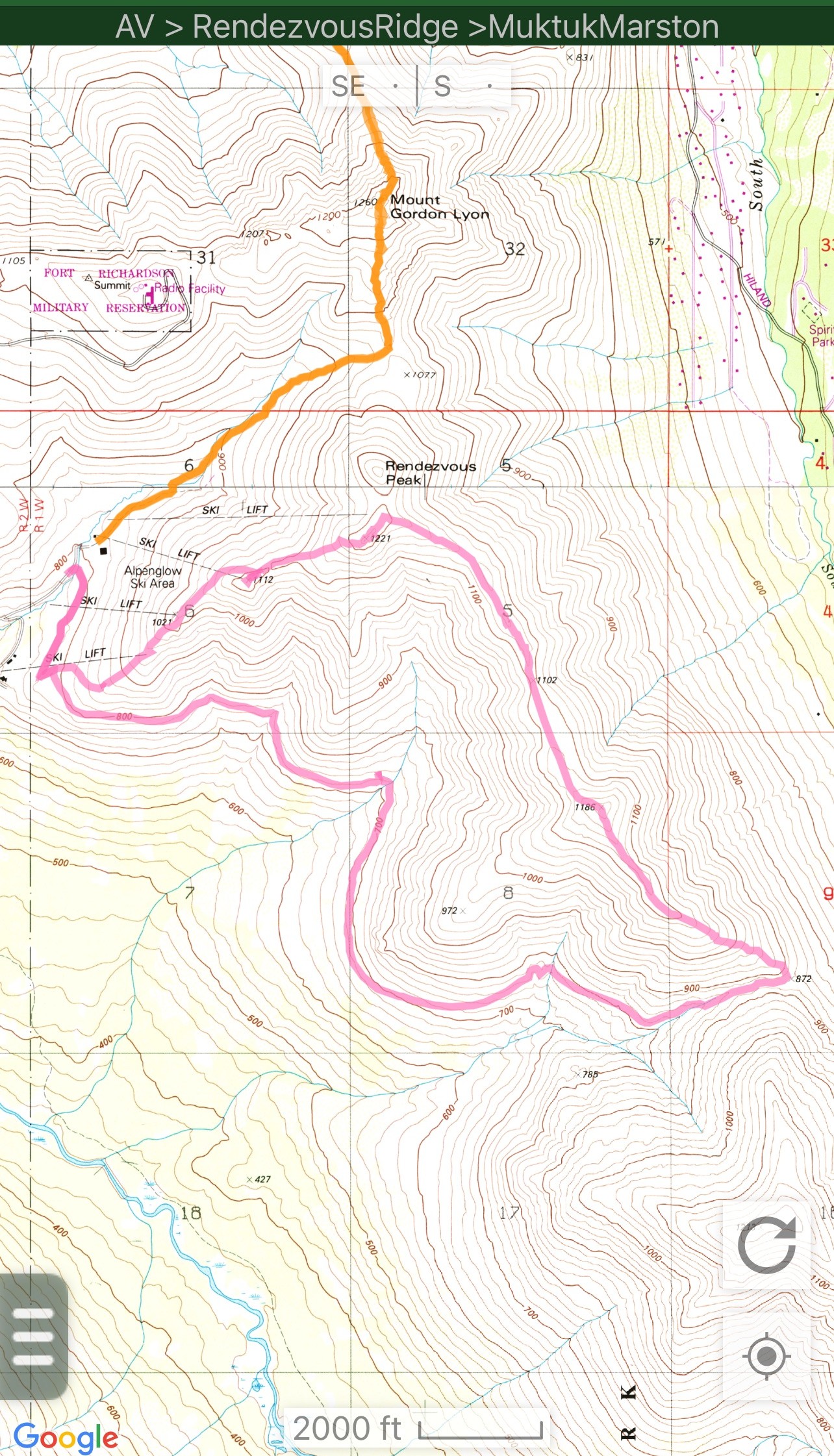
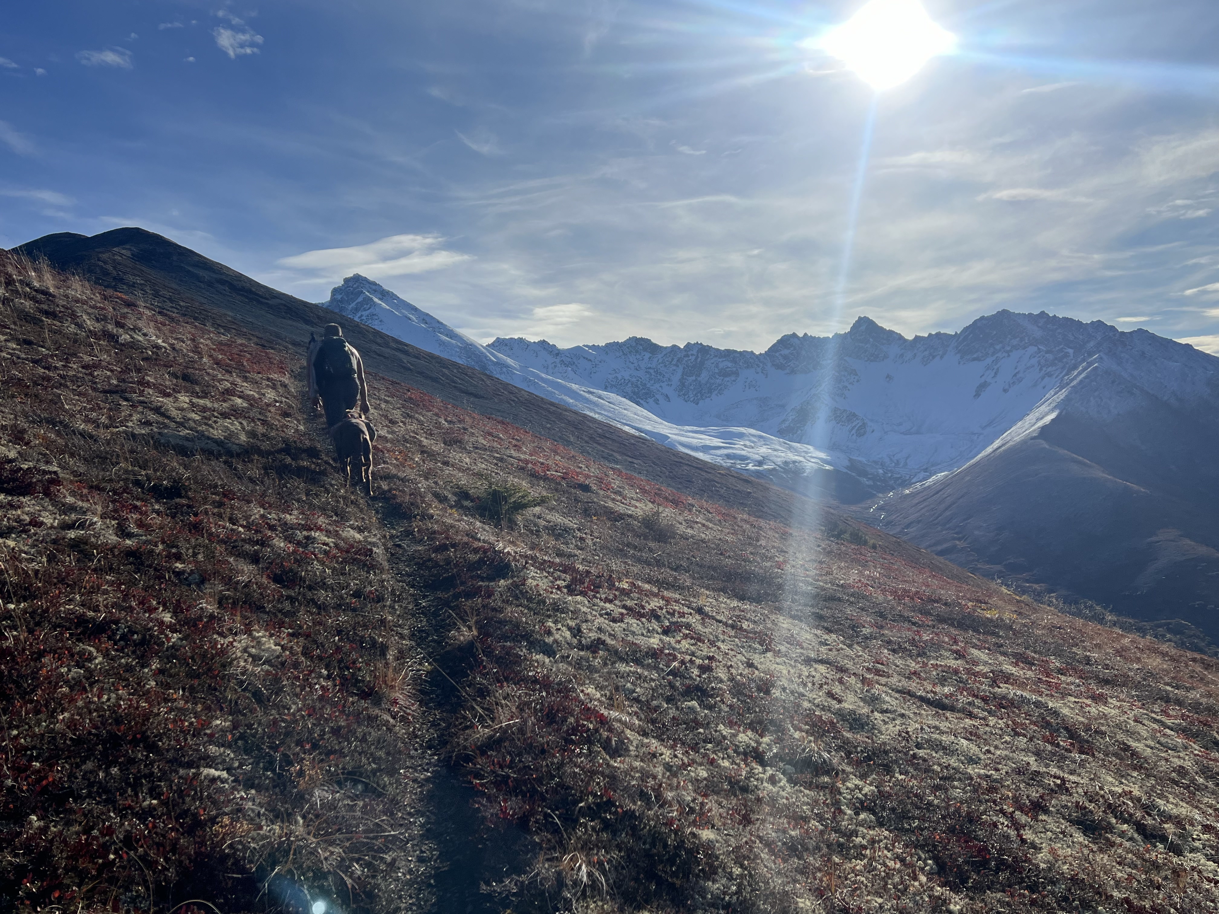
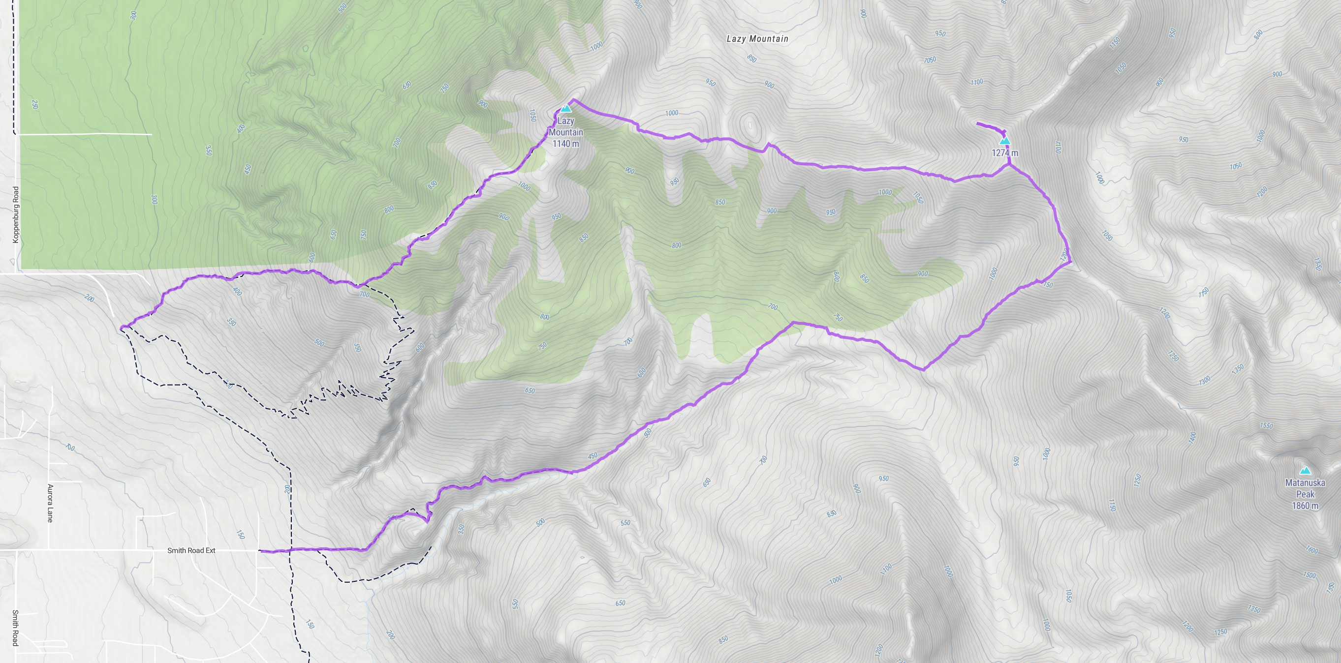
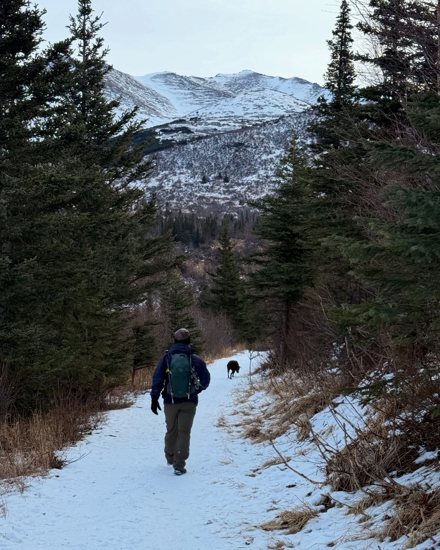
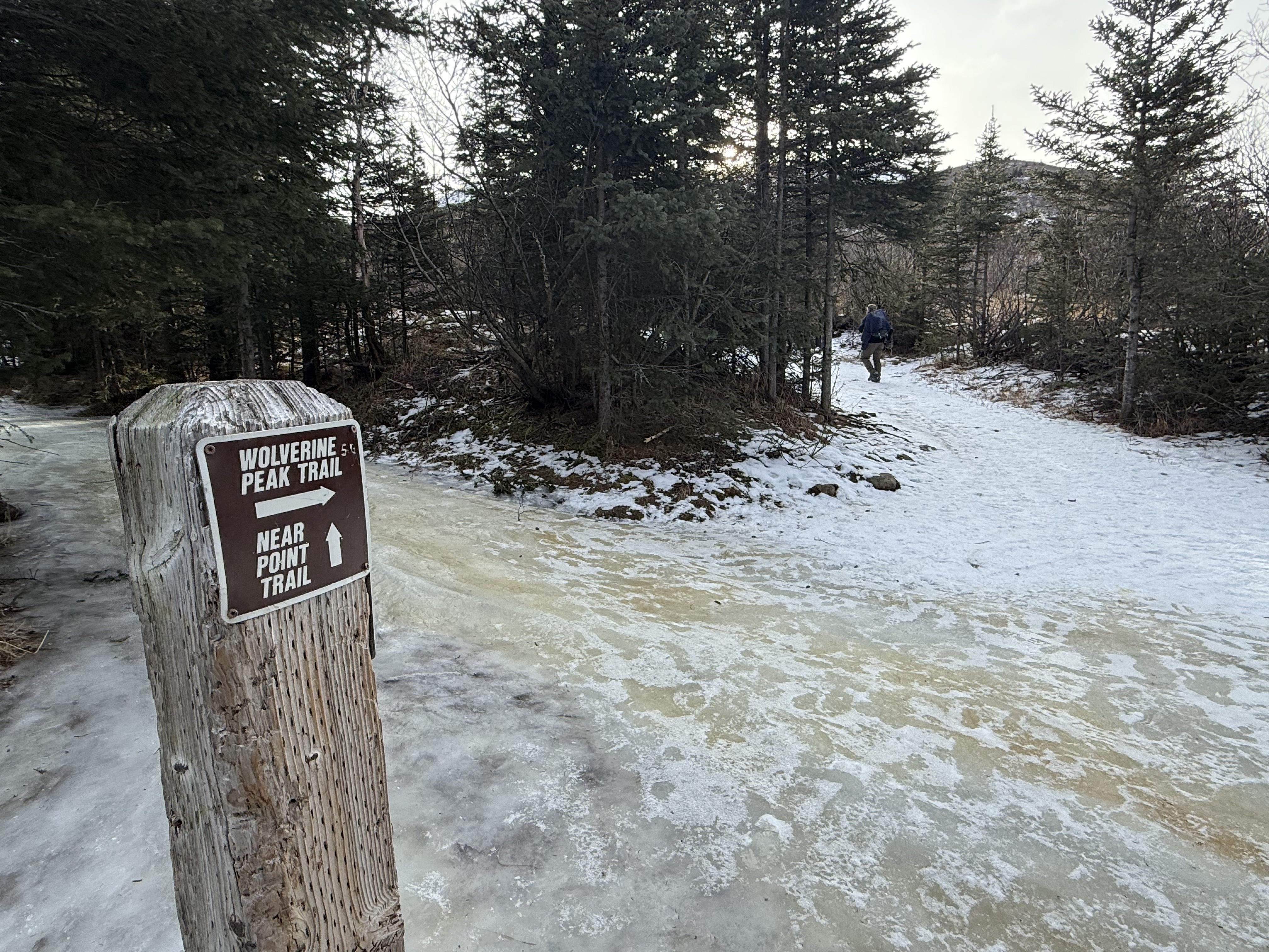
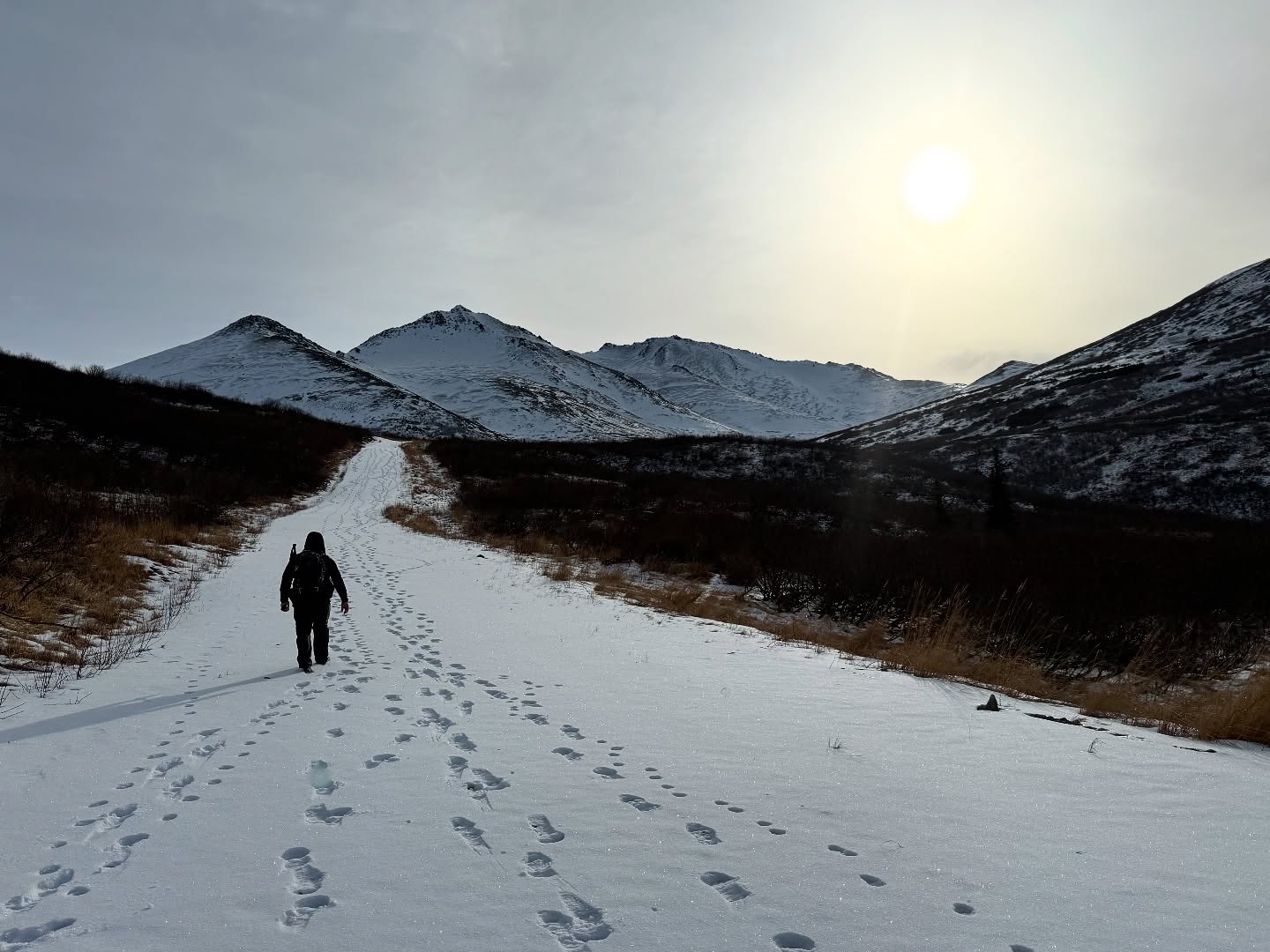
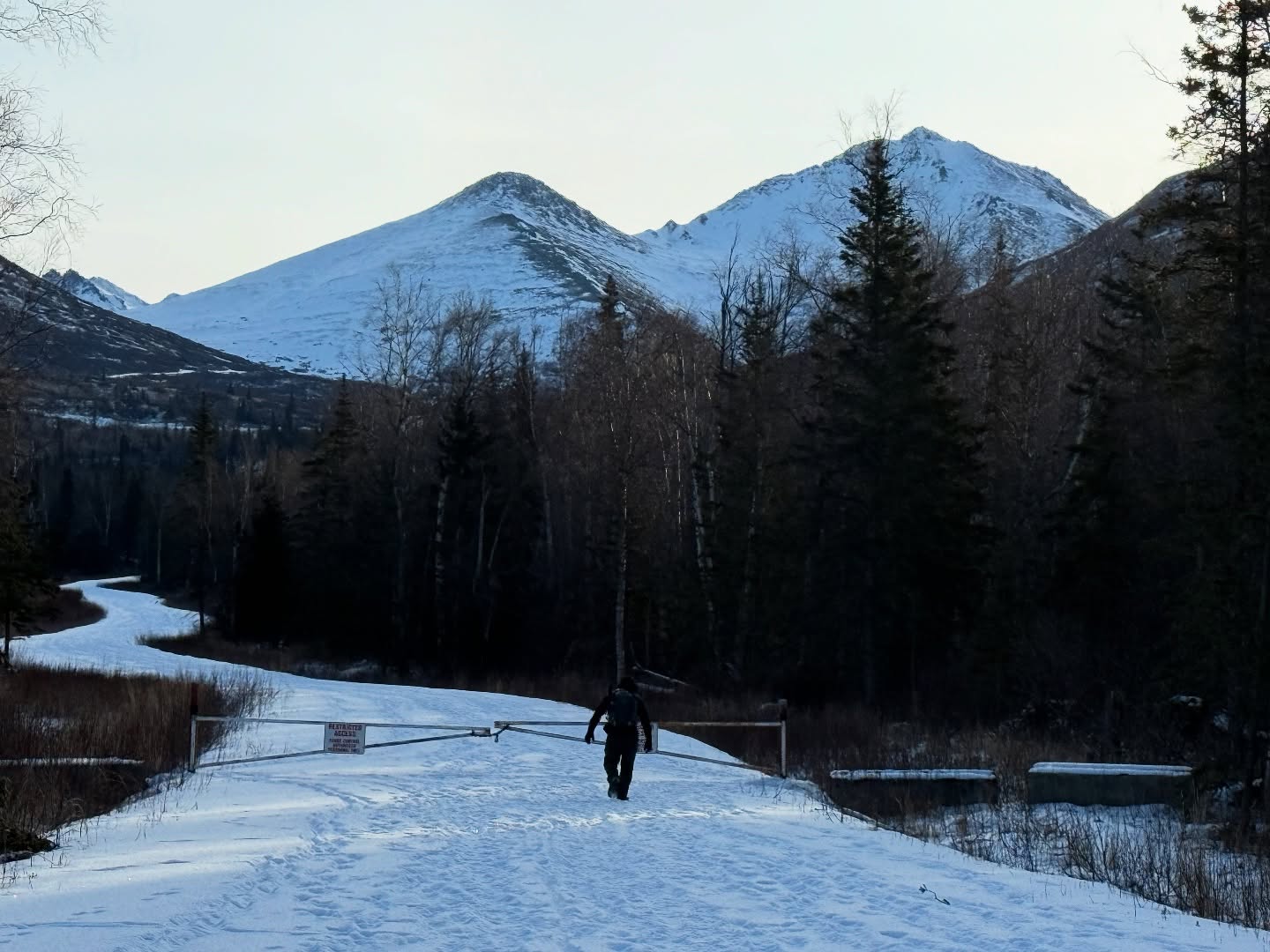
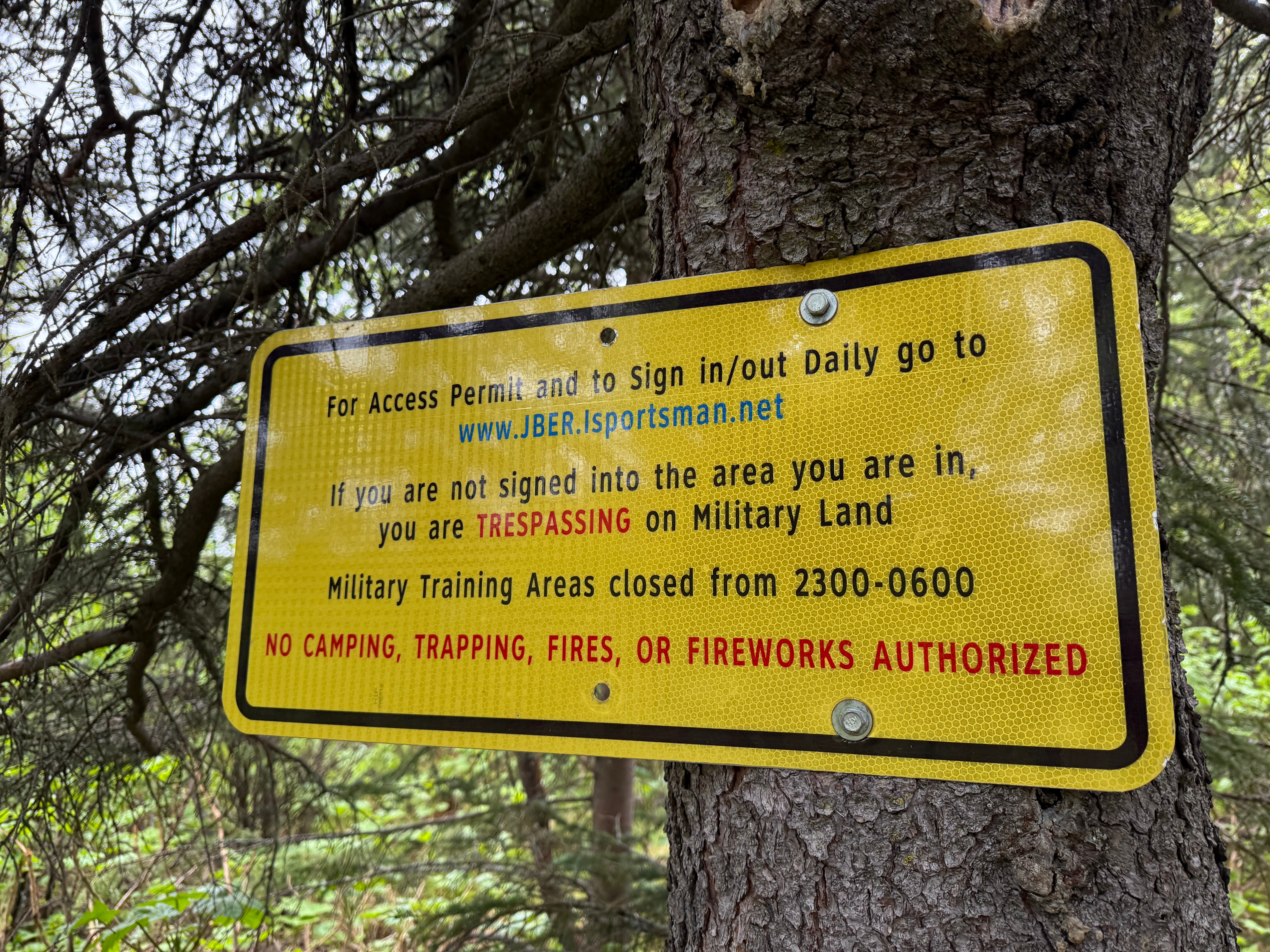
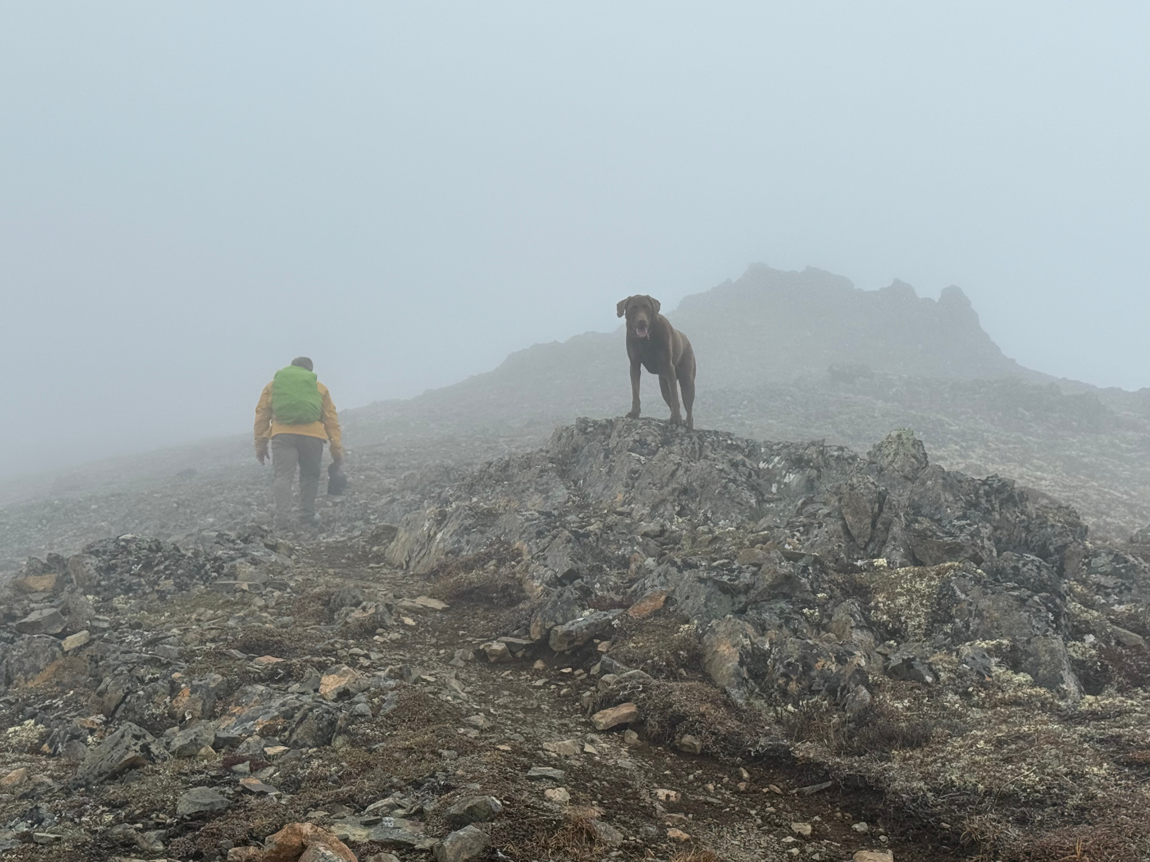
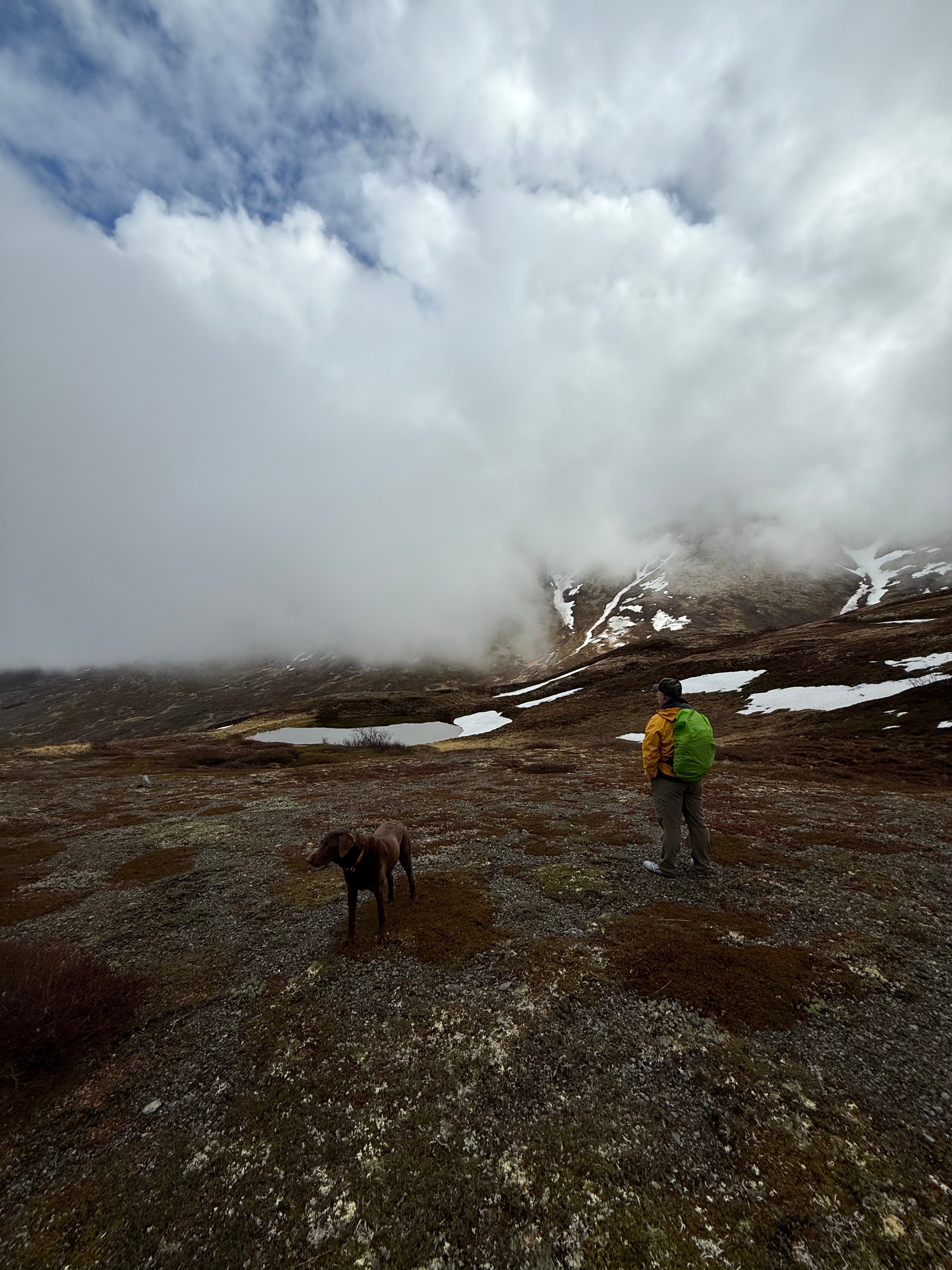
The summer wasn’t summering, and I was suffering from a bout of springtime depression that only sunshine and warm weather could cure. I dragged myself to the Klutina Trailhead to meet Jason. We left one vehicle there and carpooled up to our starting point at Stuckagain Heights—neither of us particularly excited to hike in the fog and rain. After a bit of complaining, we checked in on the JBER RecAccess website for the areas we’d be hiking and set off toward The Dome.
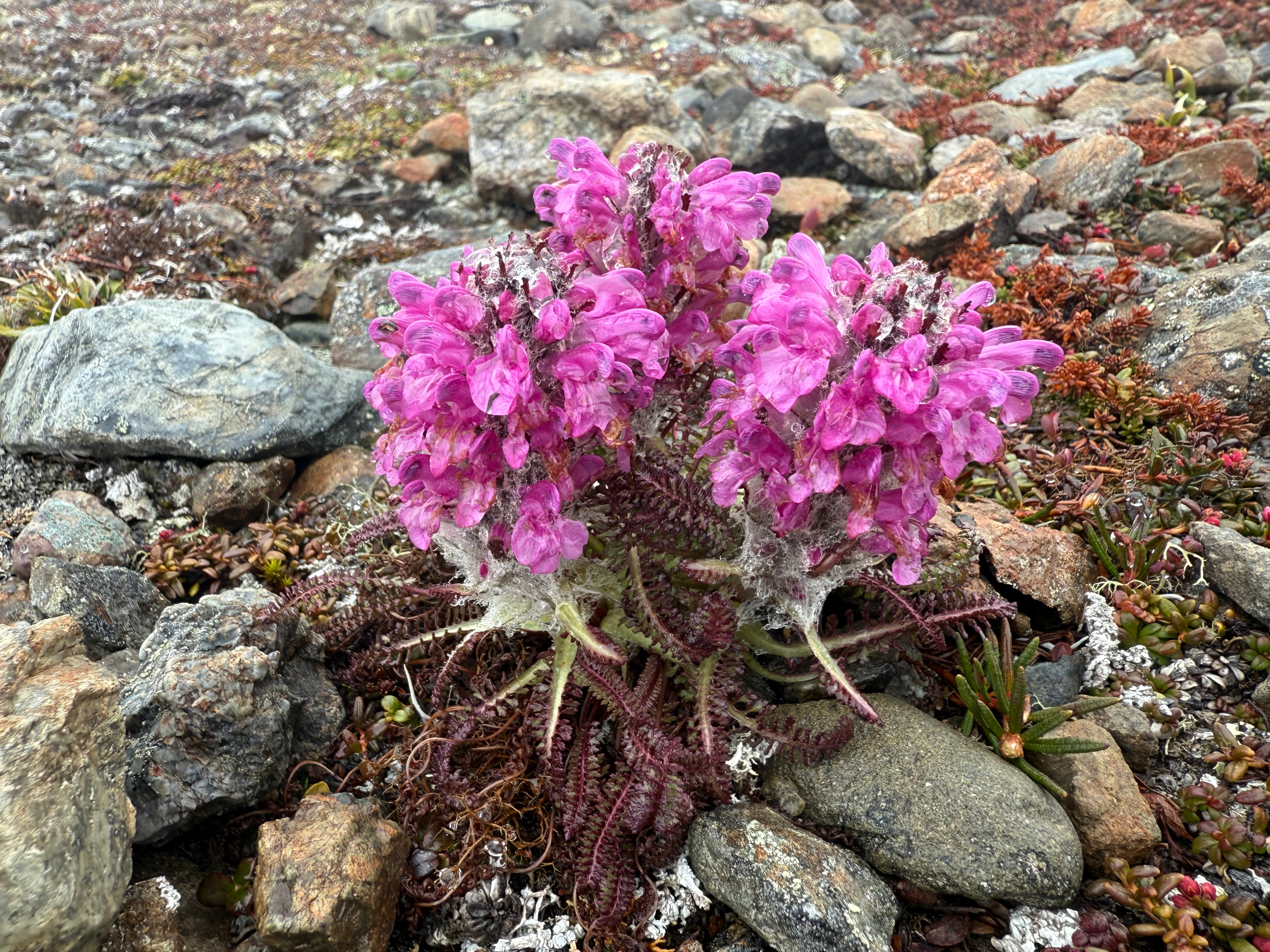
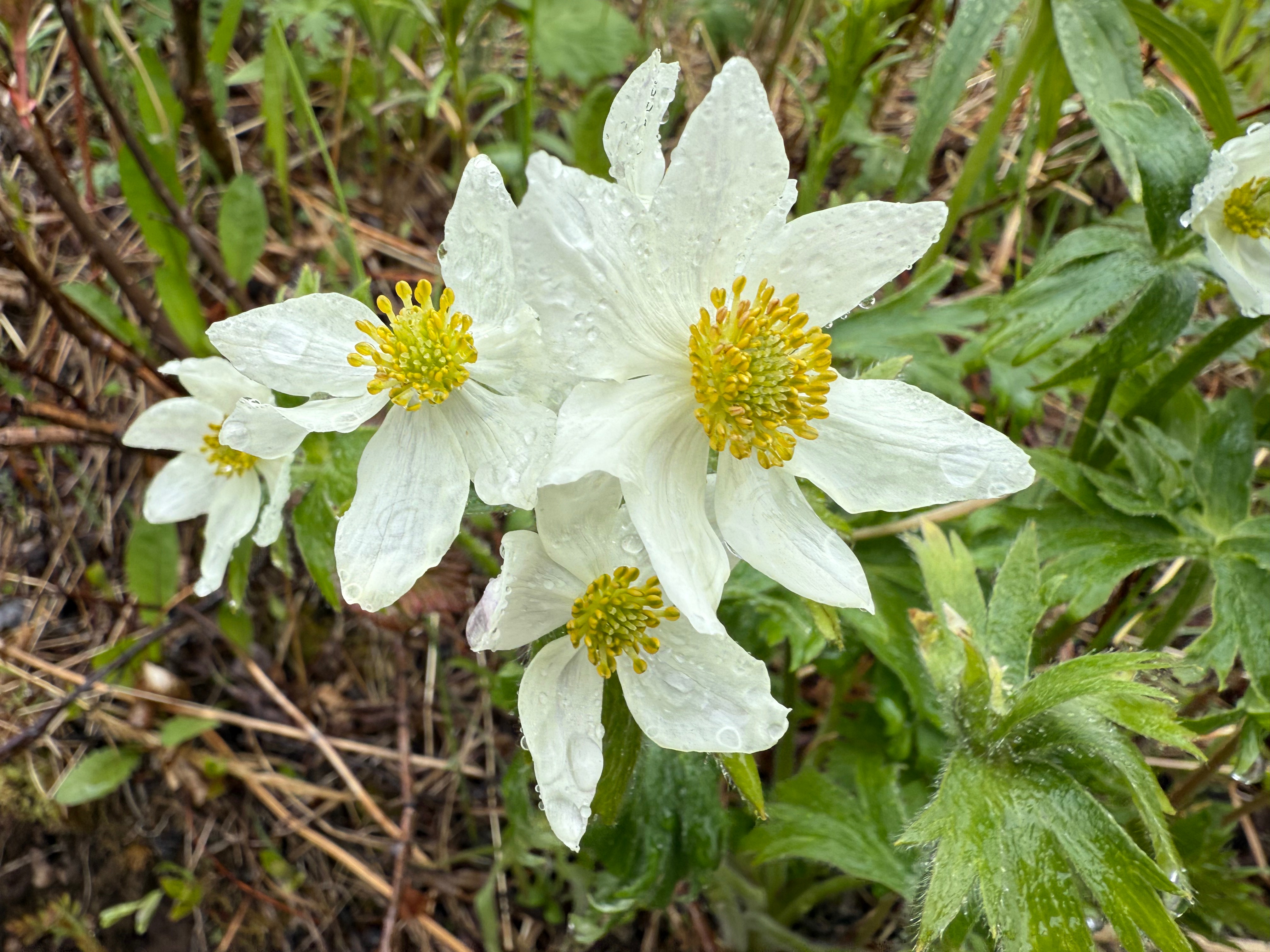
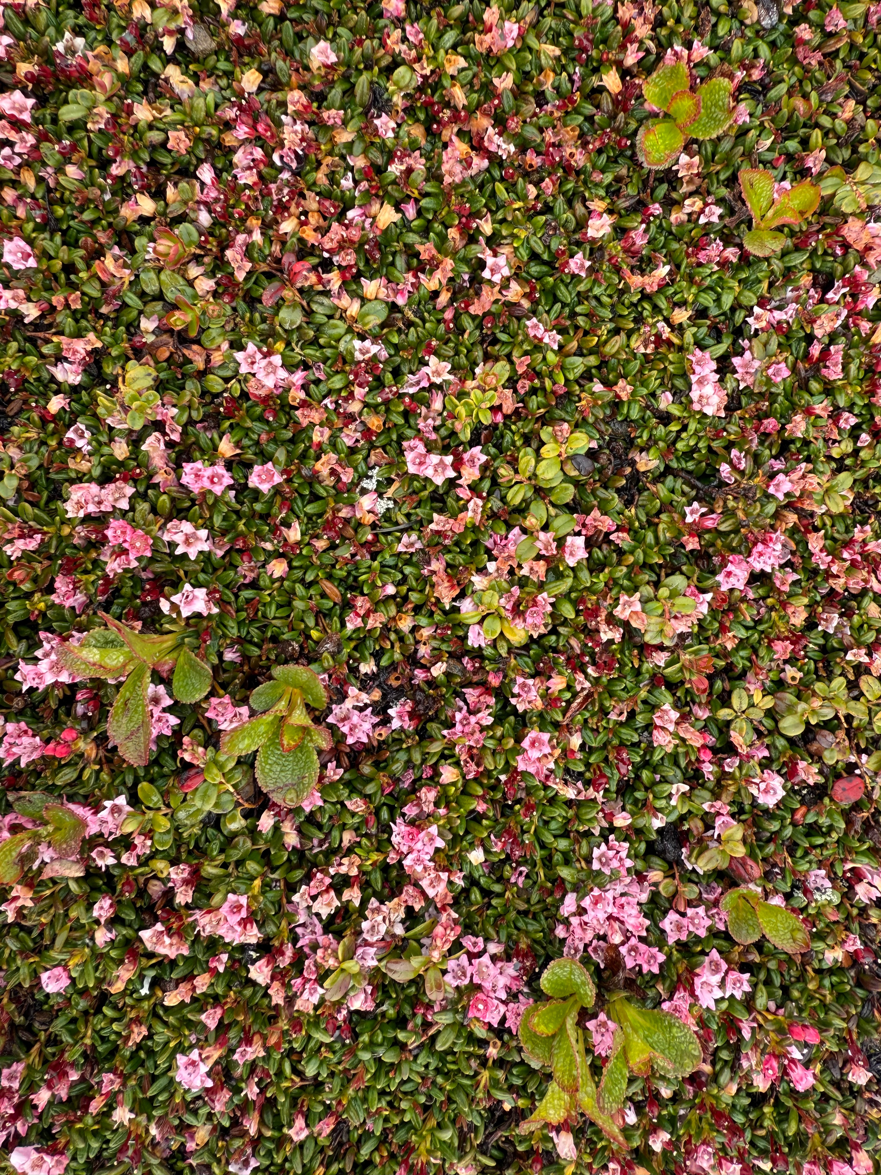
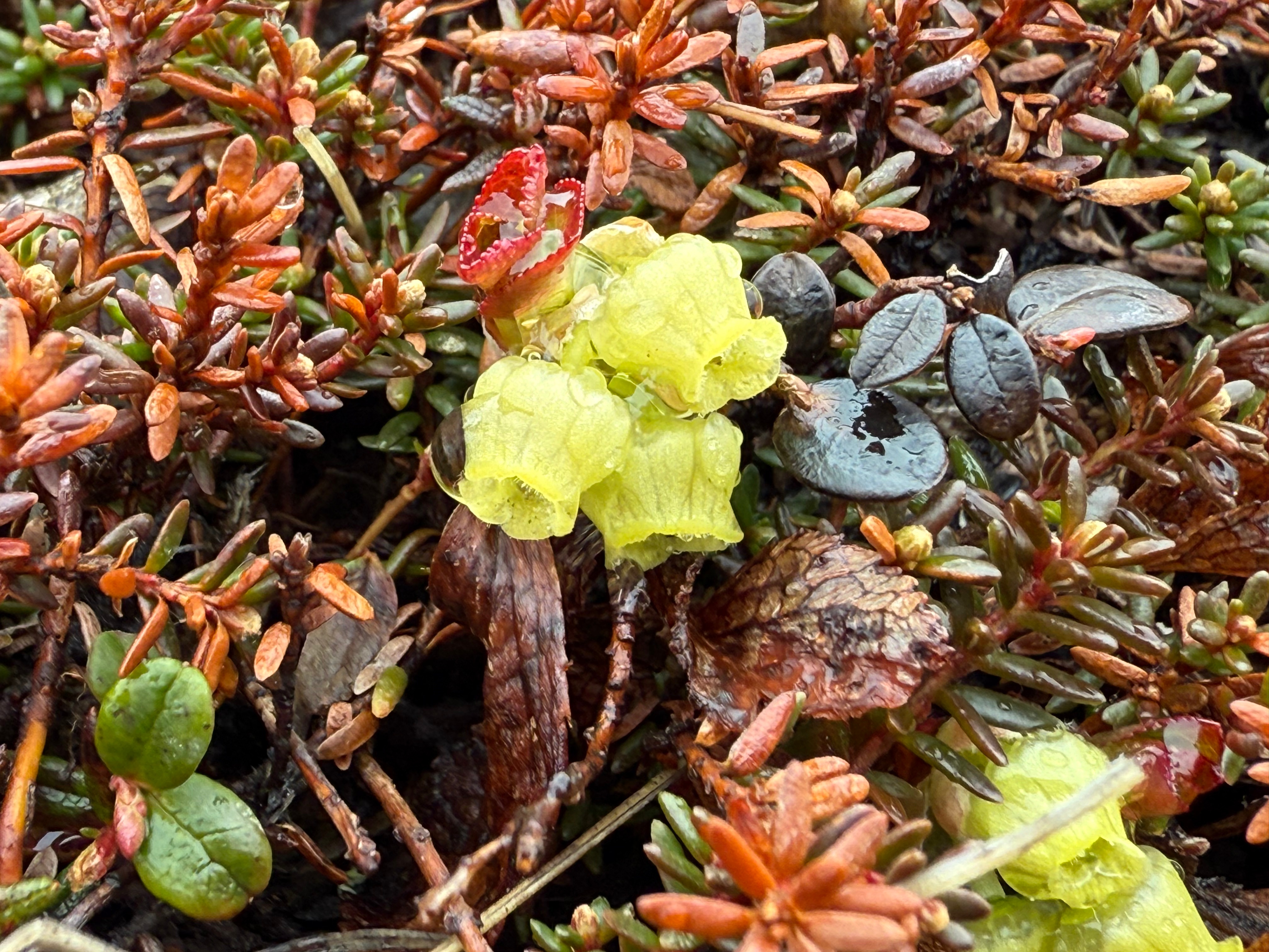
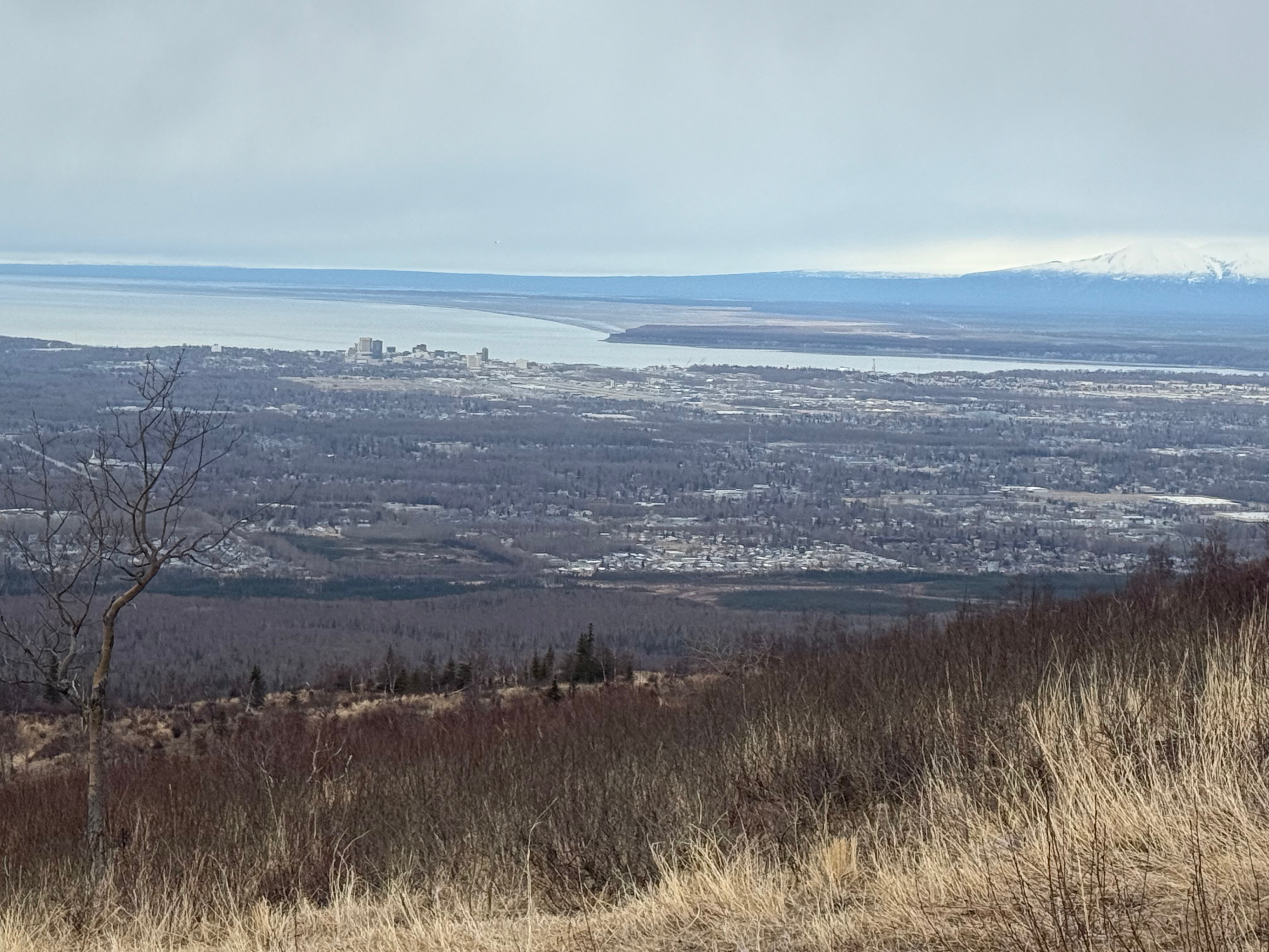
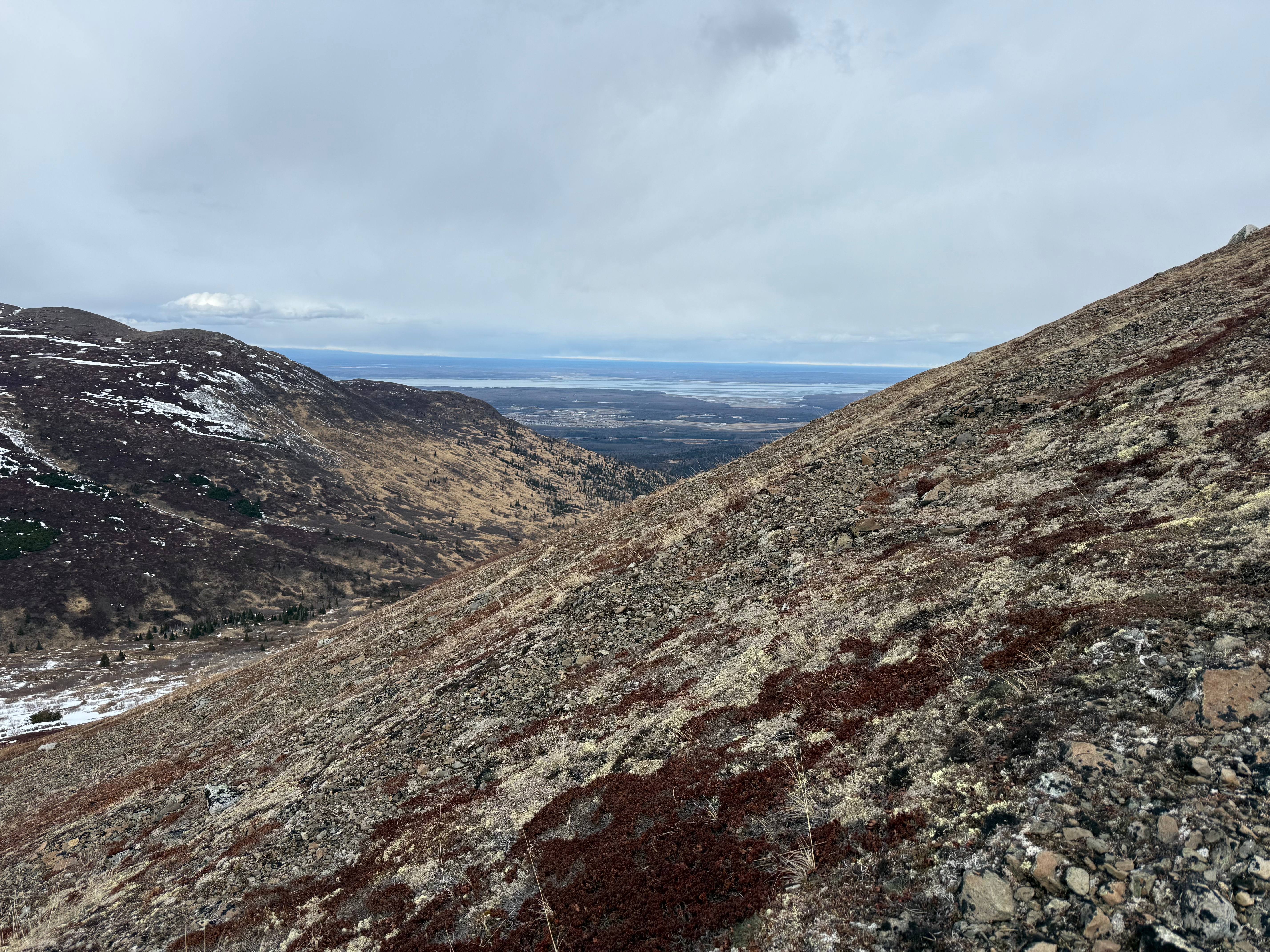
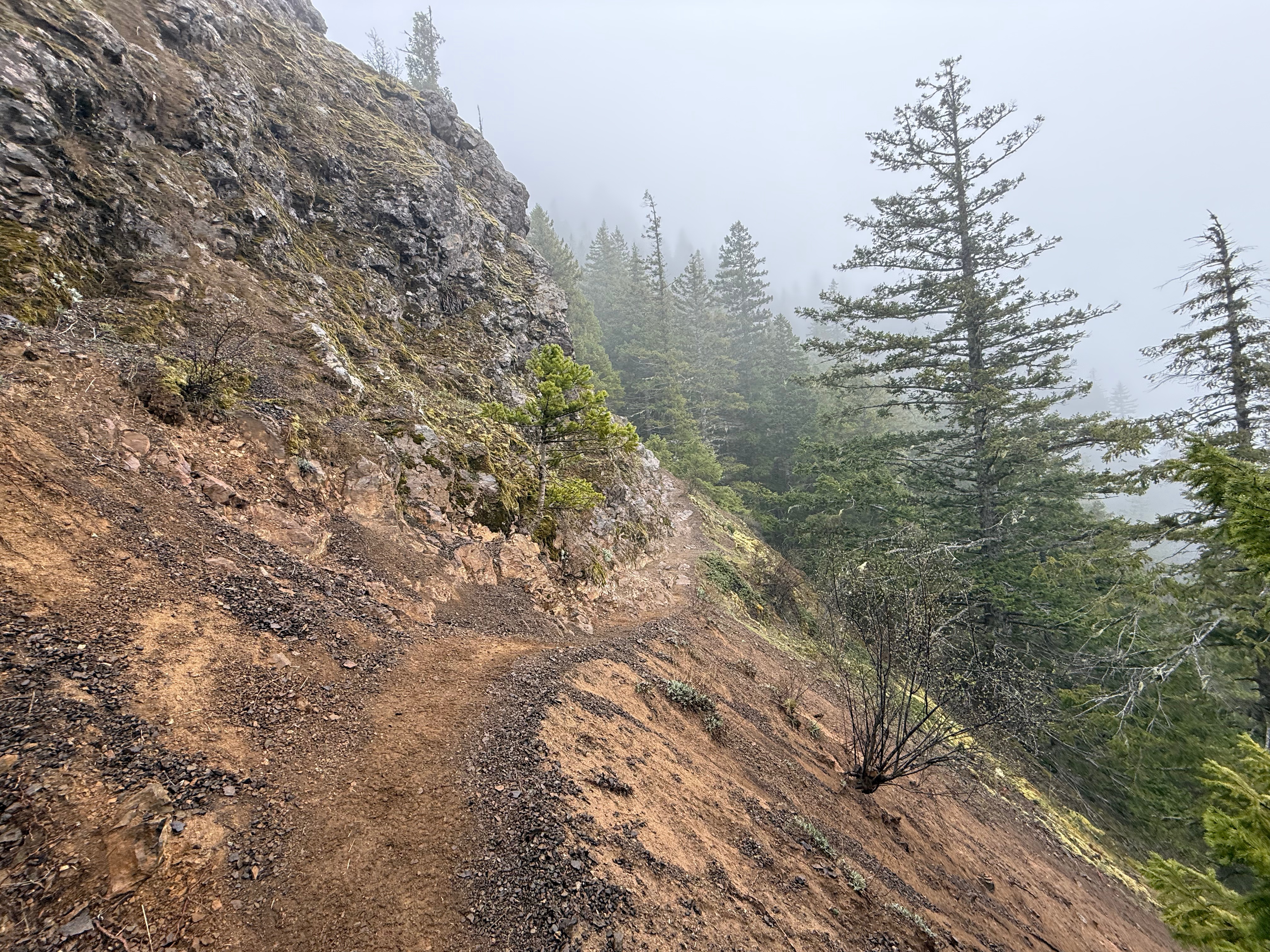
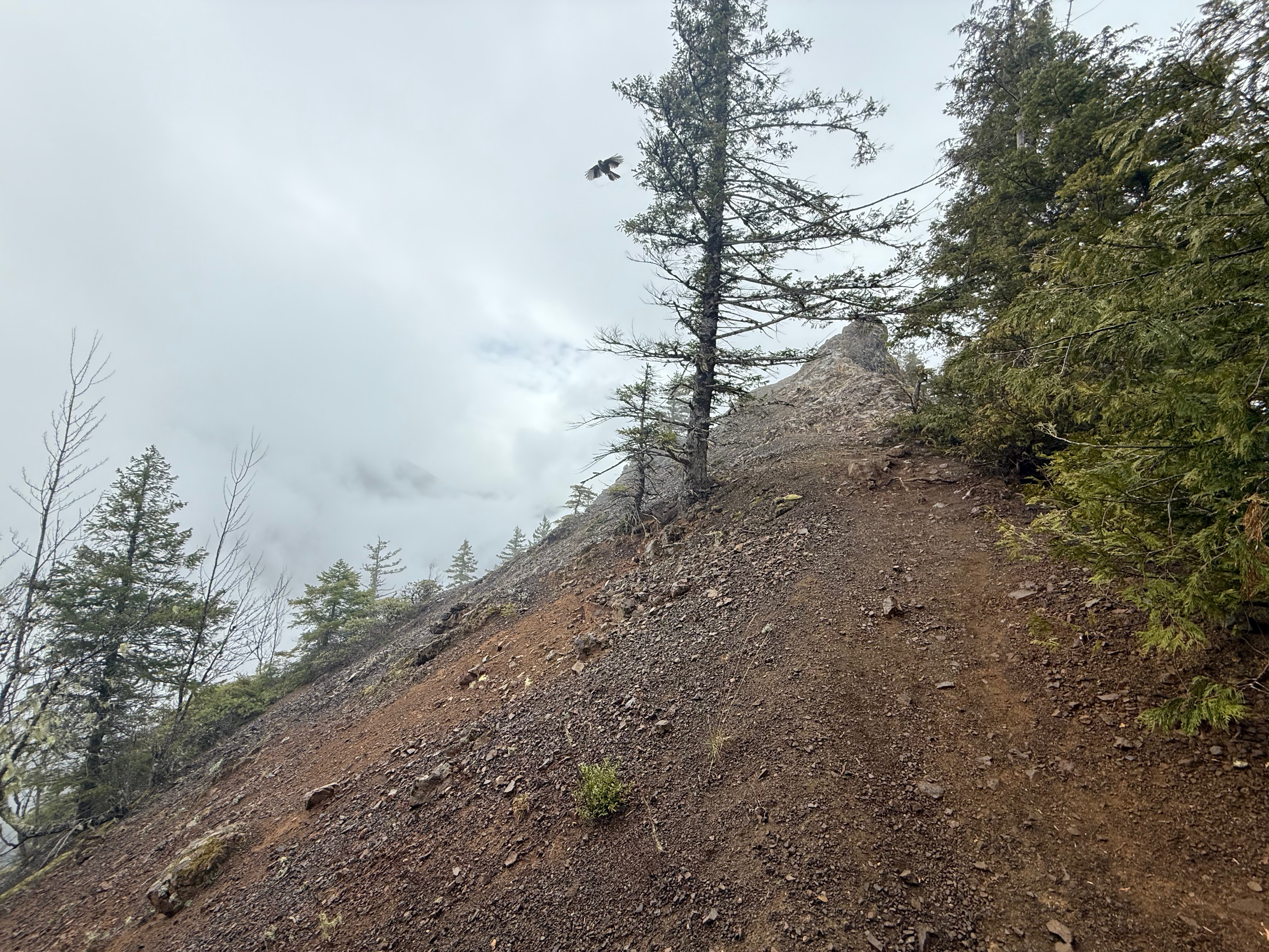
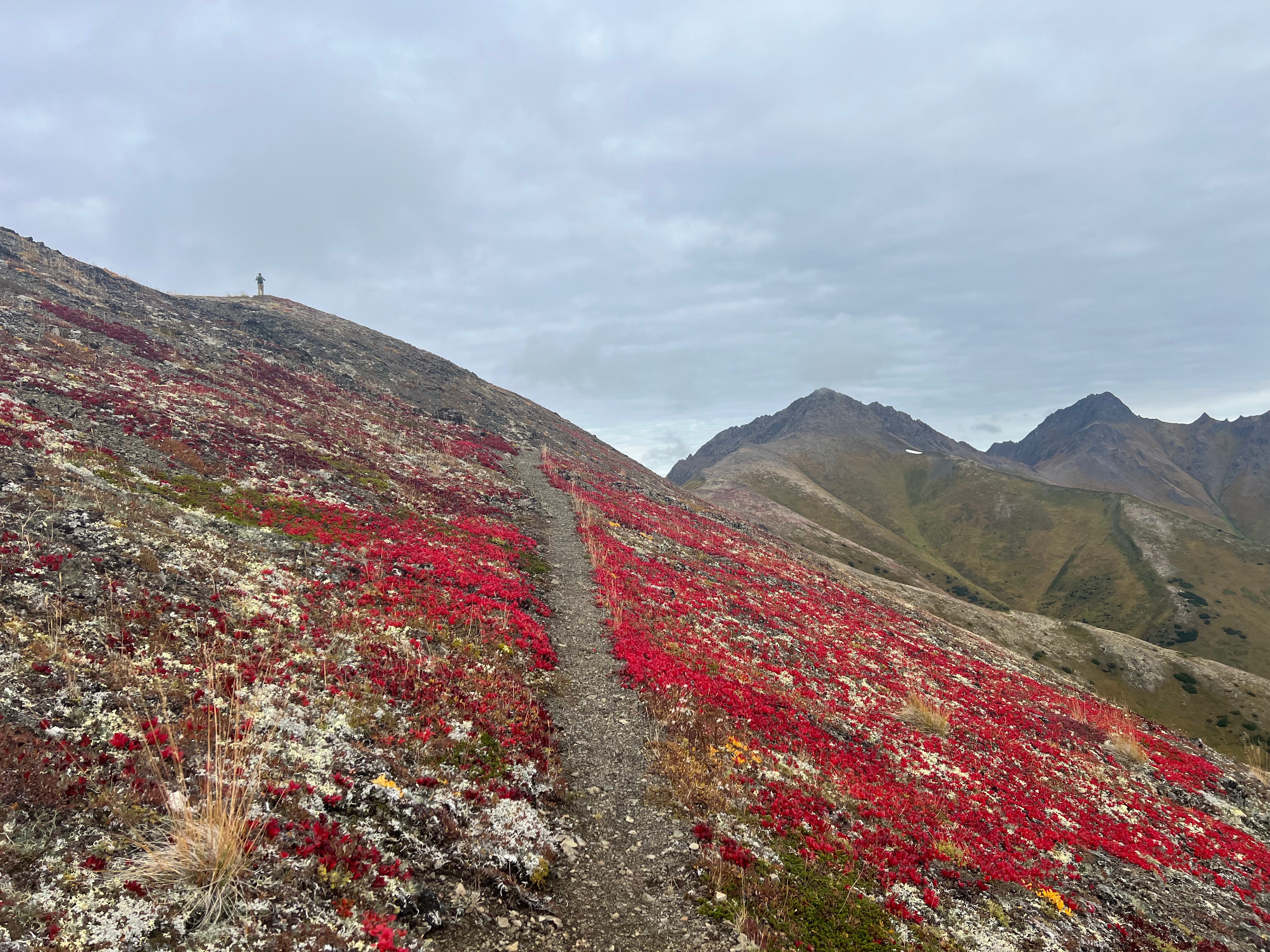
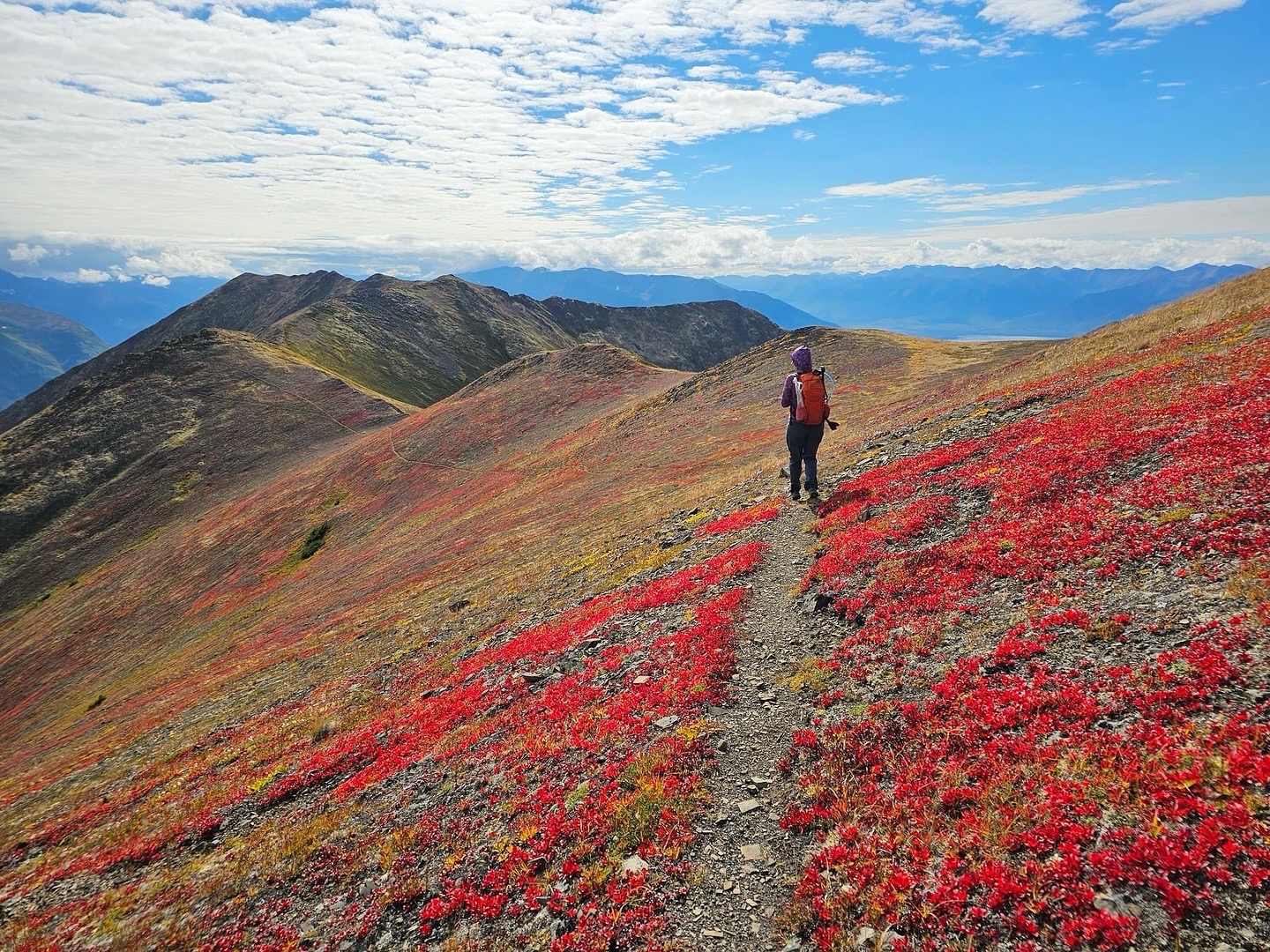
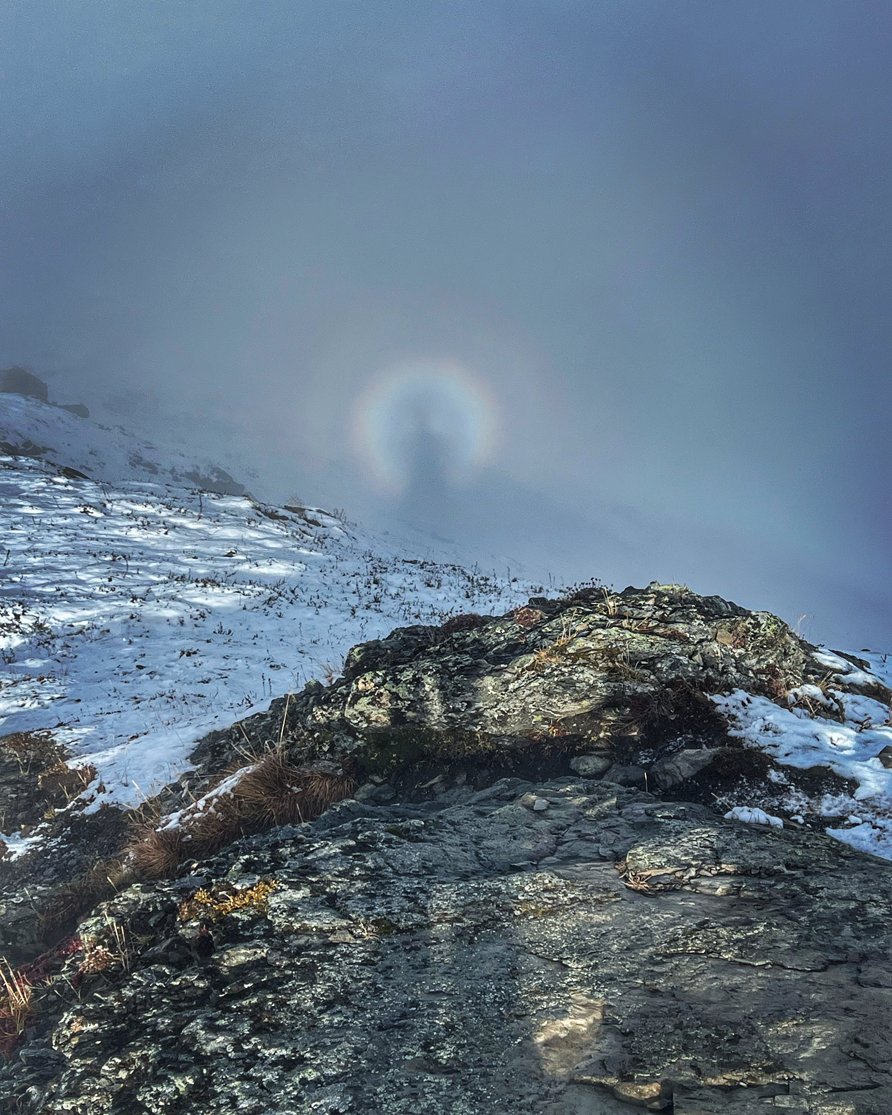
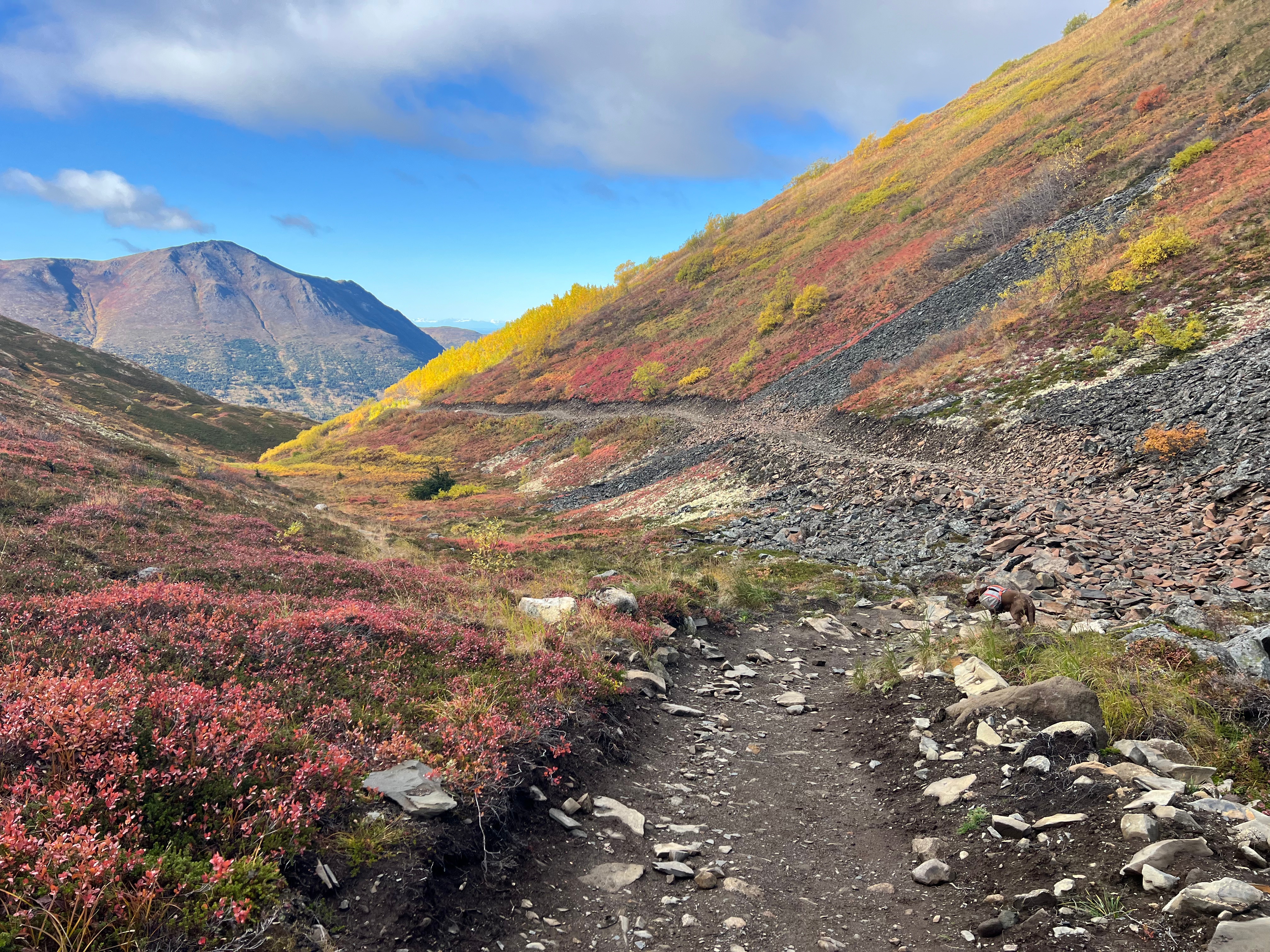
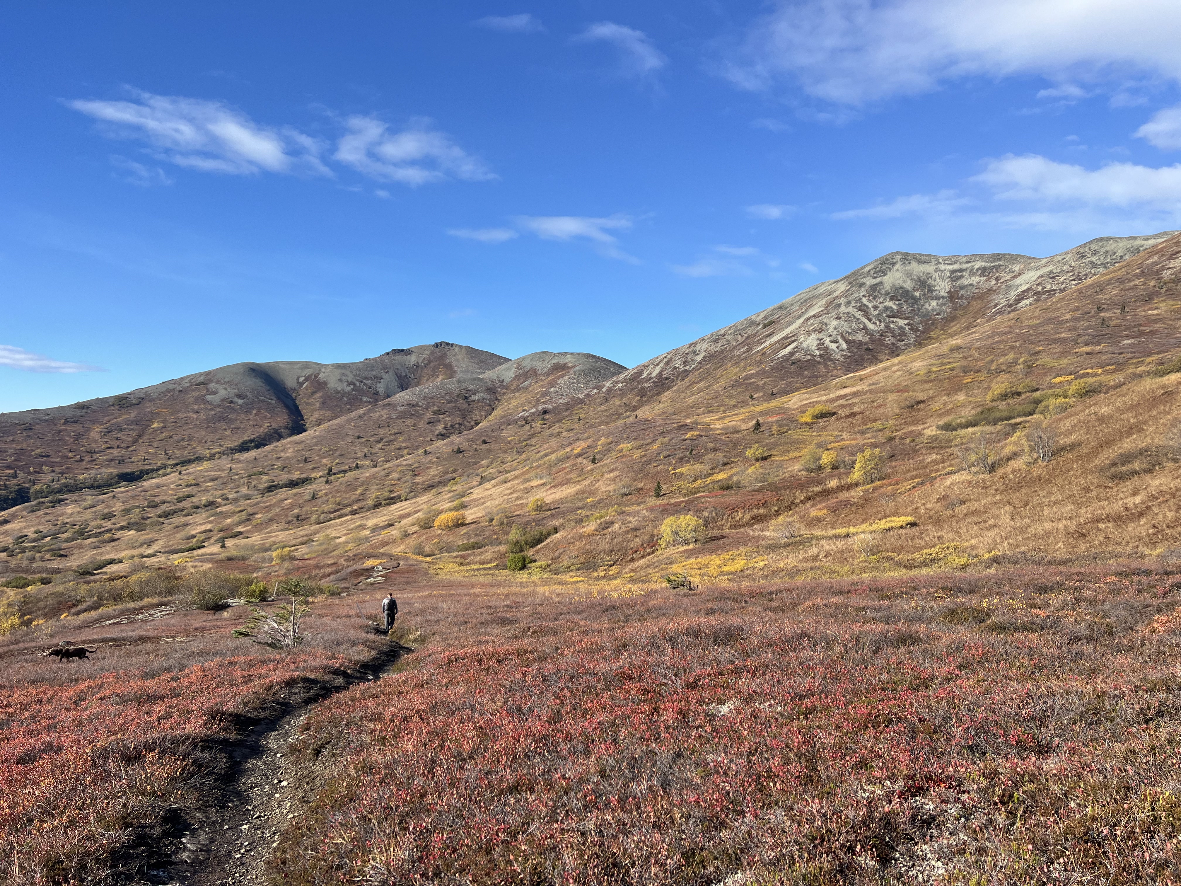
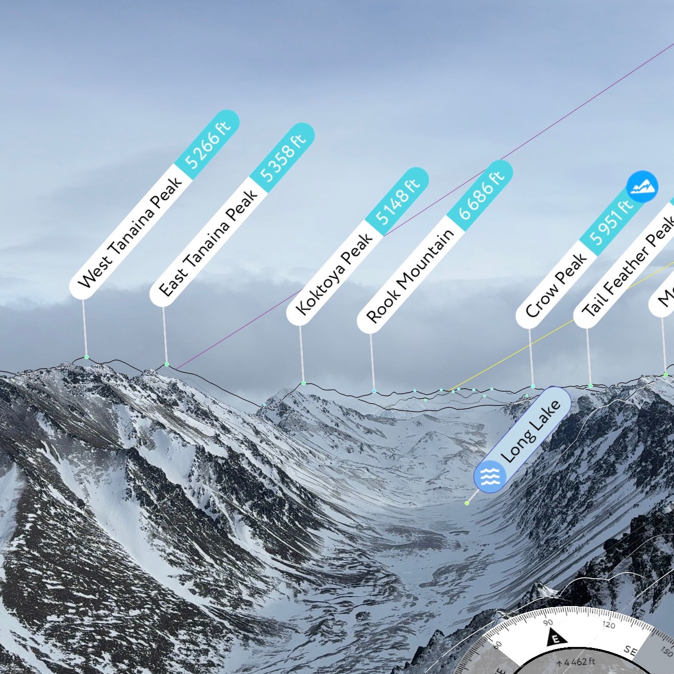
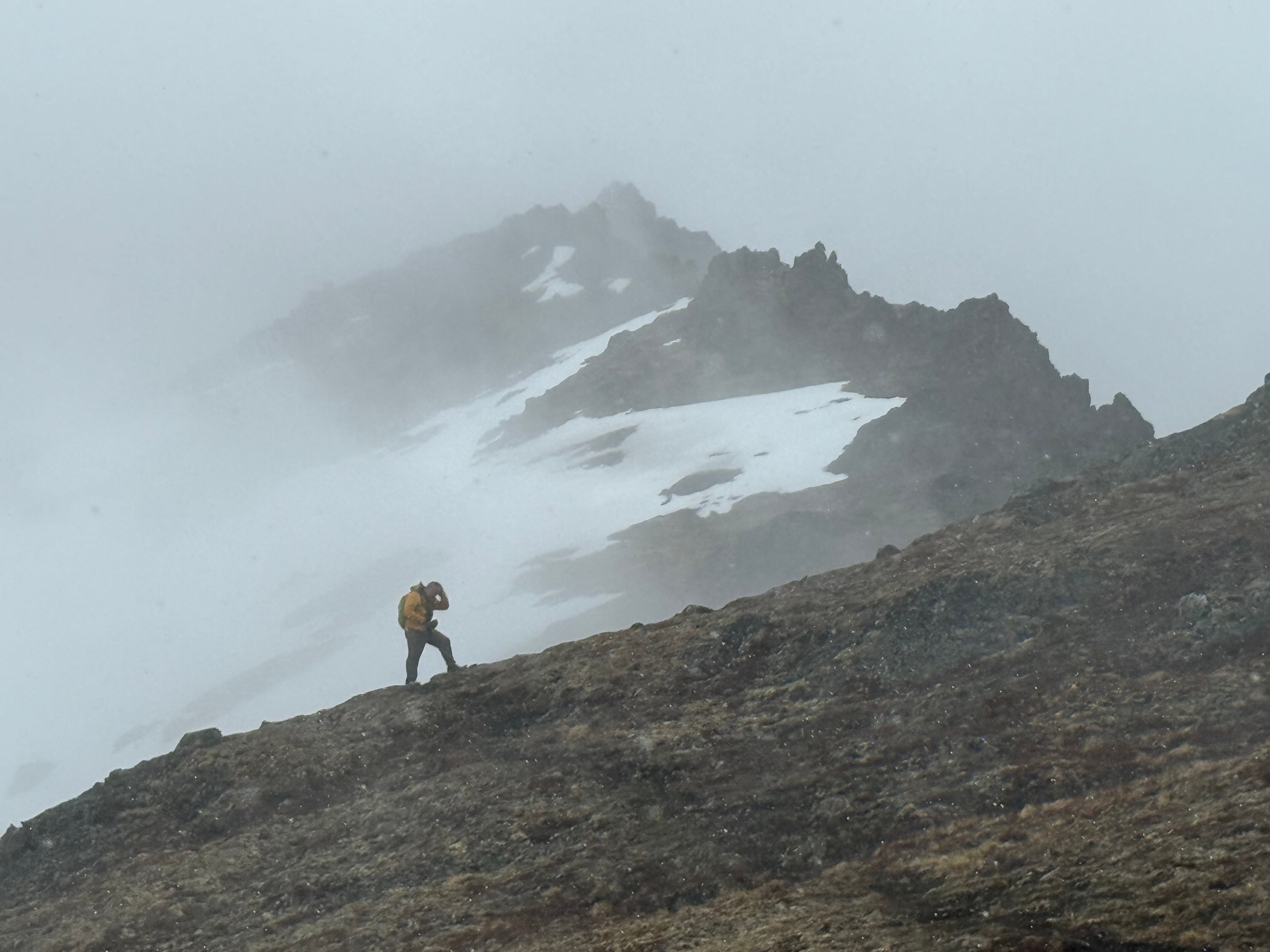
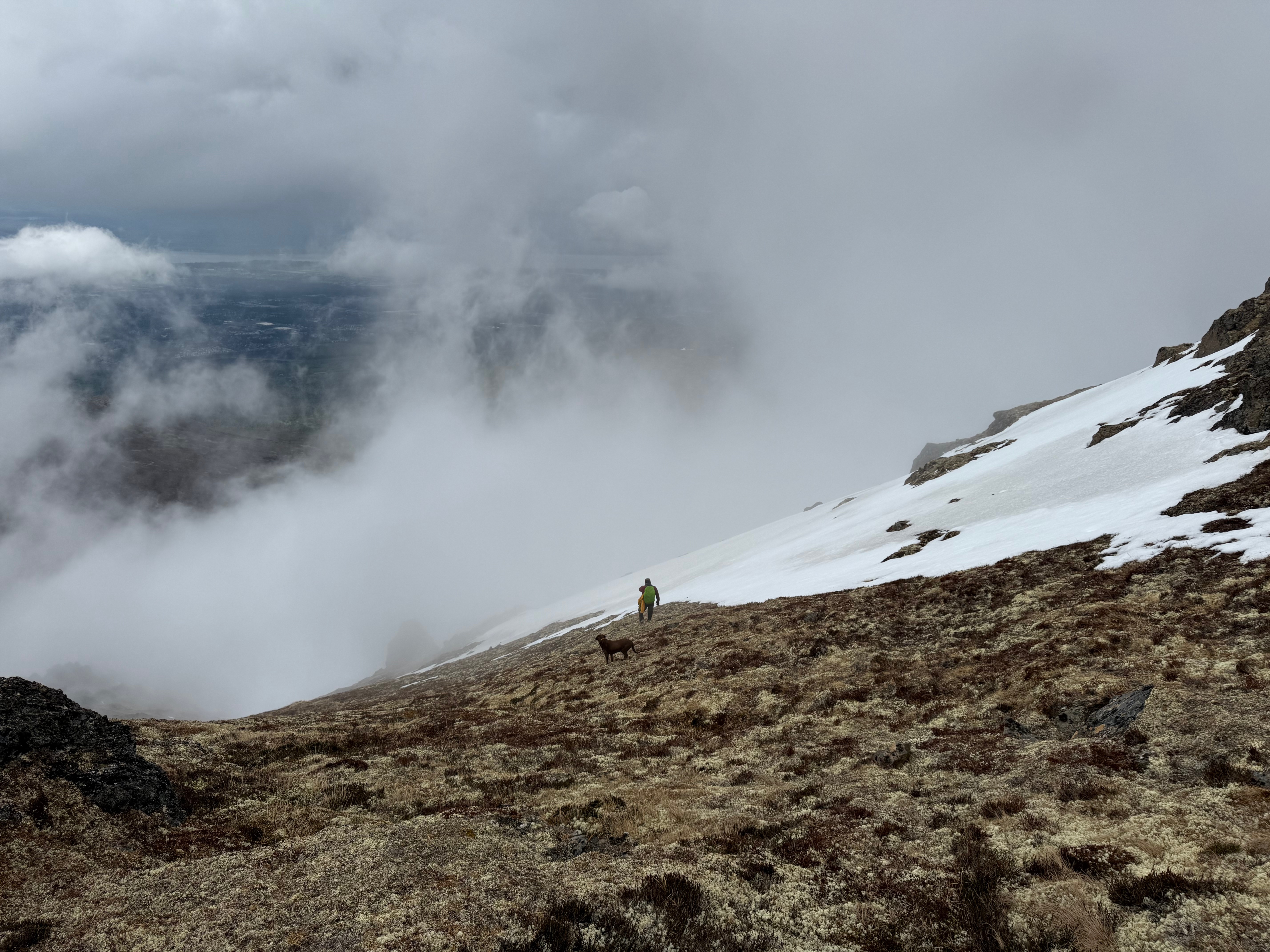
Within two miles, we had already passed a variety of freshly blossomed wildflowers and the Long Lake Trail. Not long after that, we were above the treeline and deep in the fog. As we trudged along in our respective gloomy stupors, craving warmth and sunlight, little glimpses of blue sky would peek out from behind the thick clouds, offering slivers of hope.
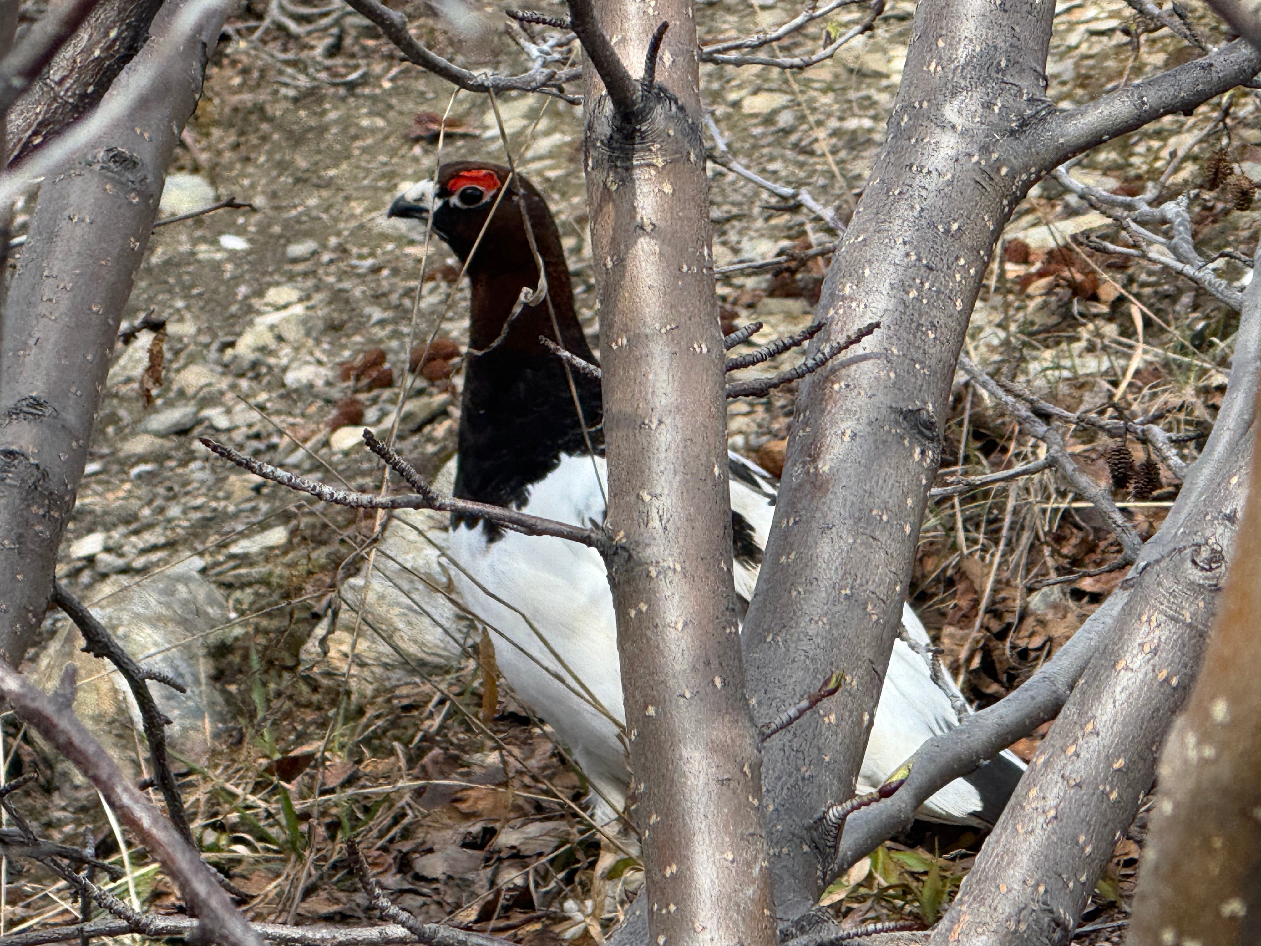
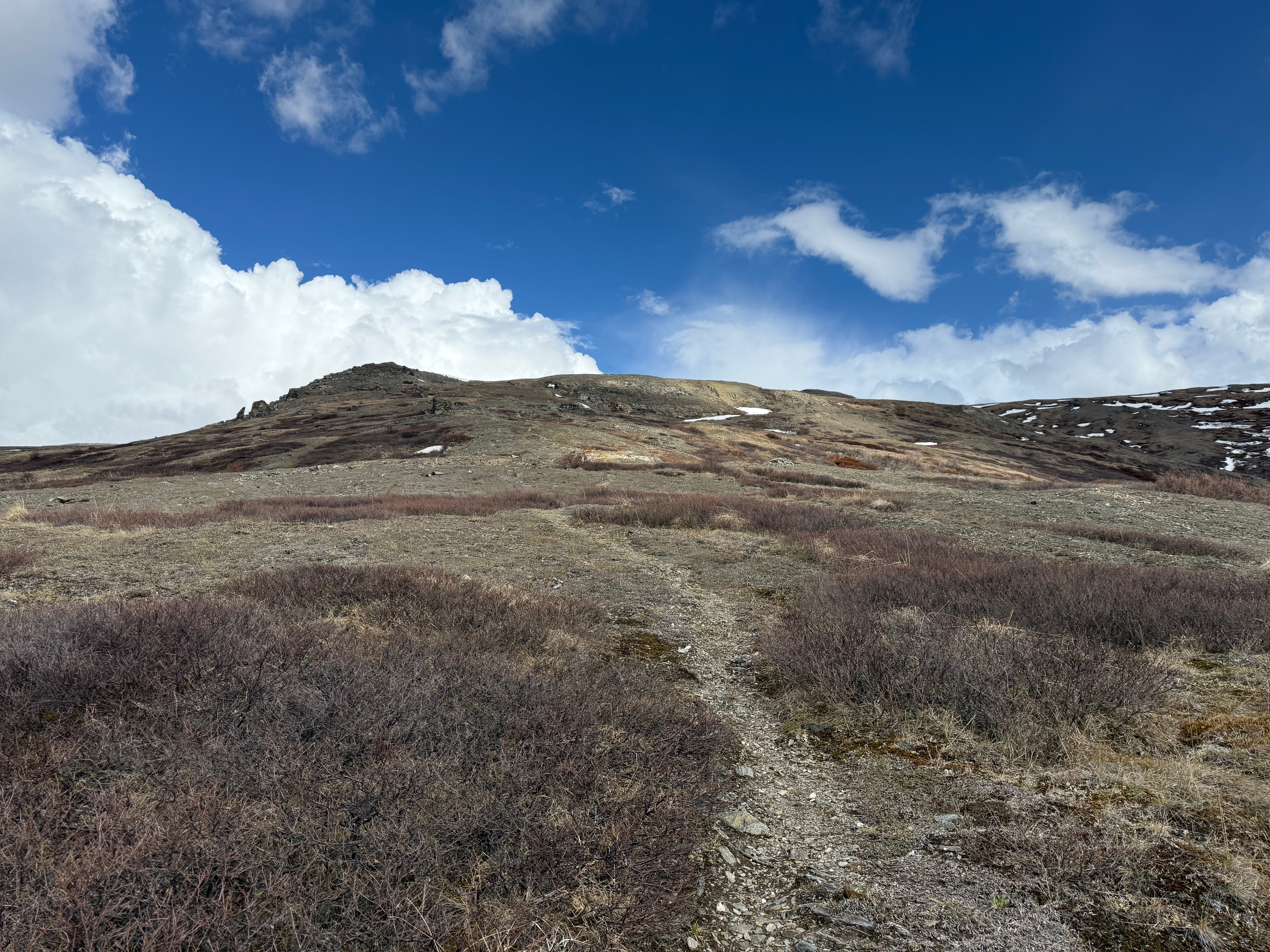
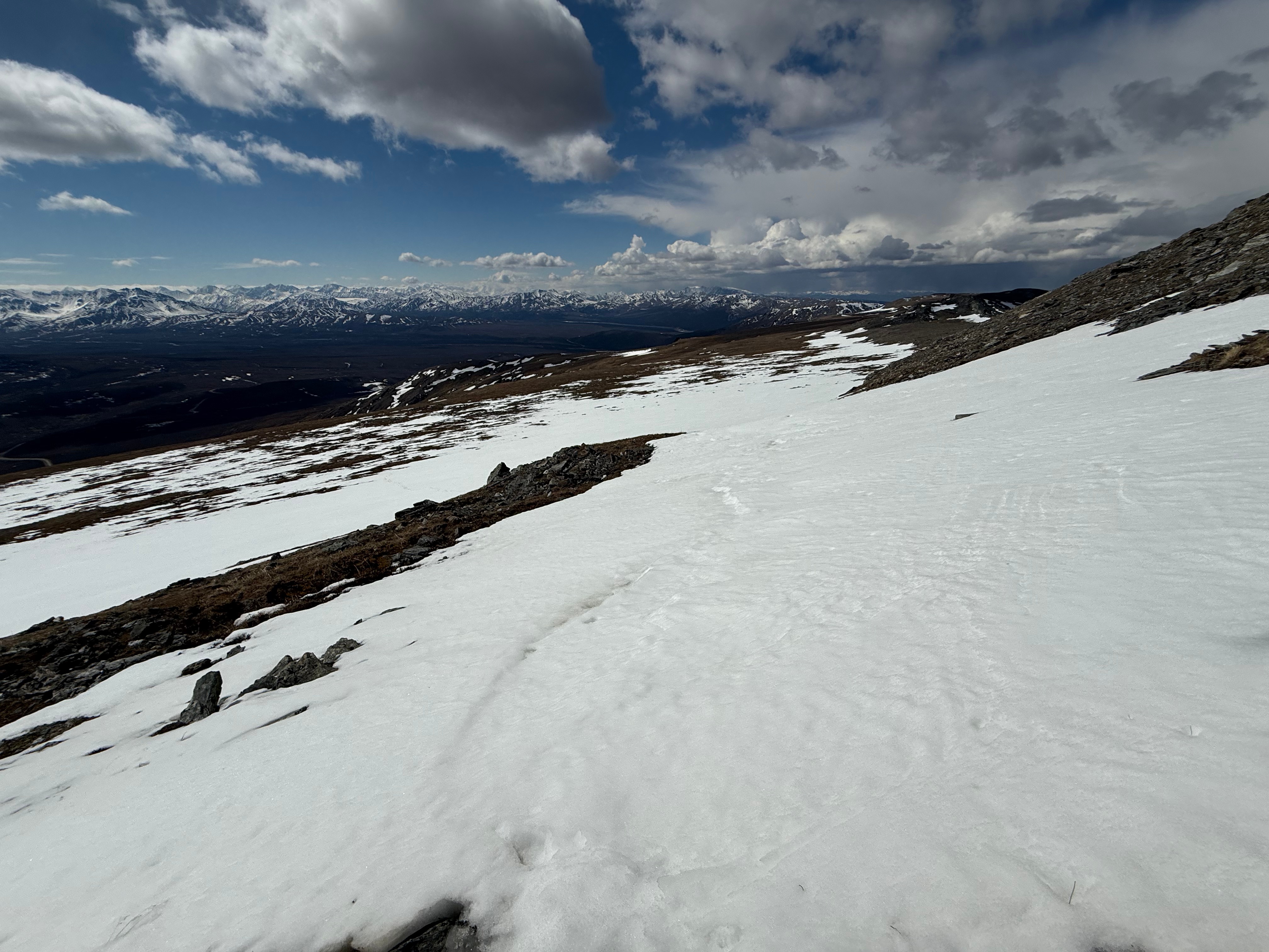
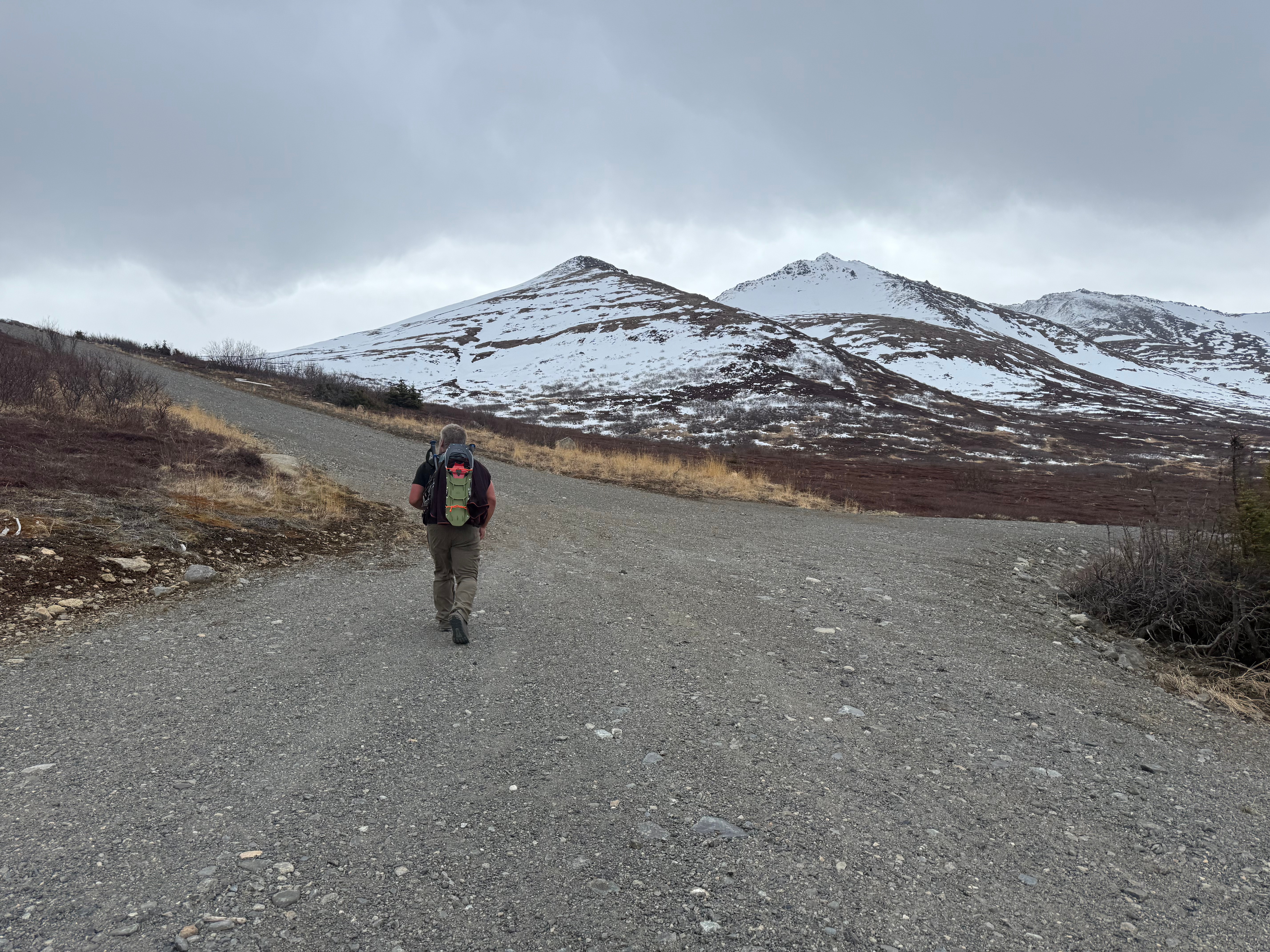
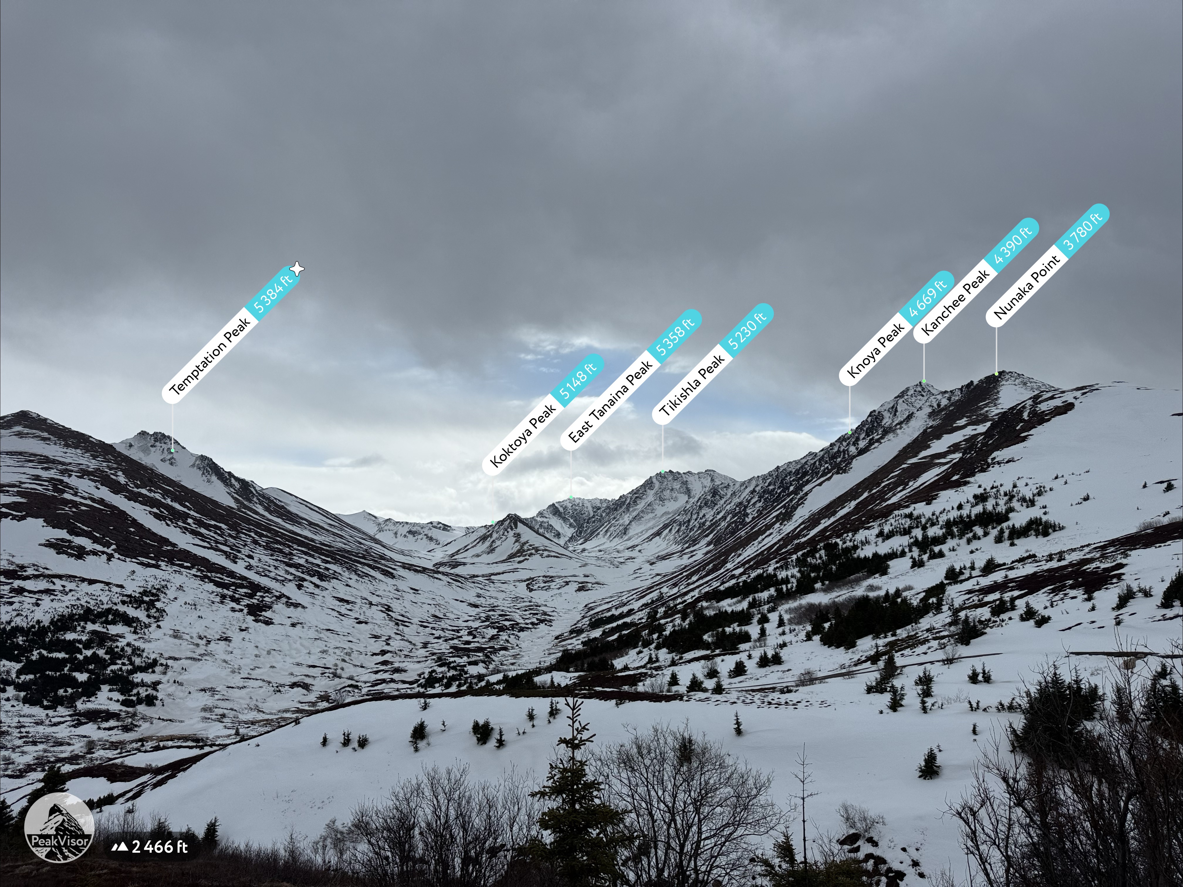
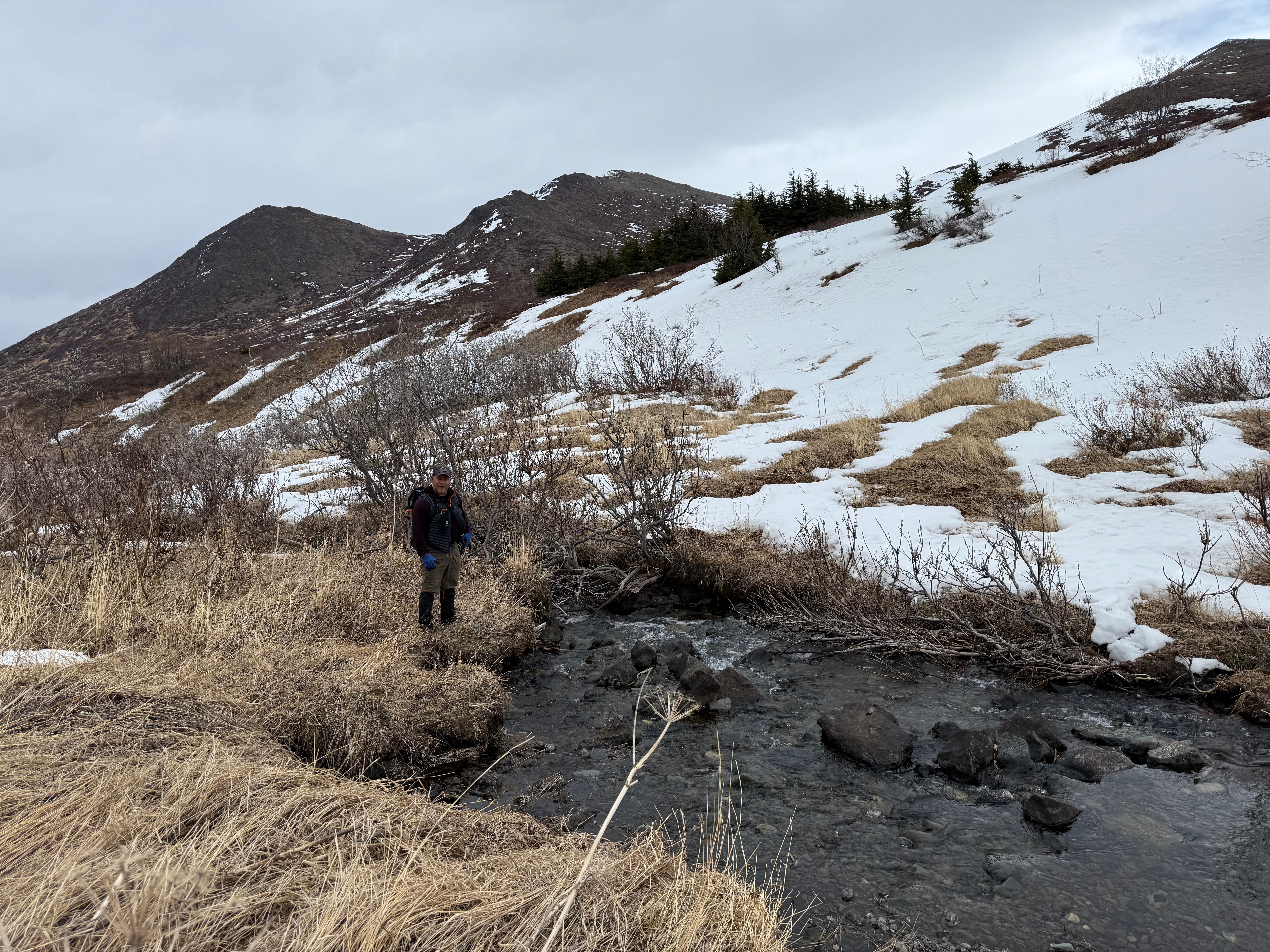
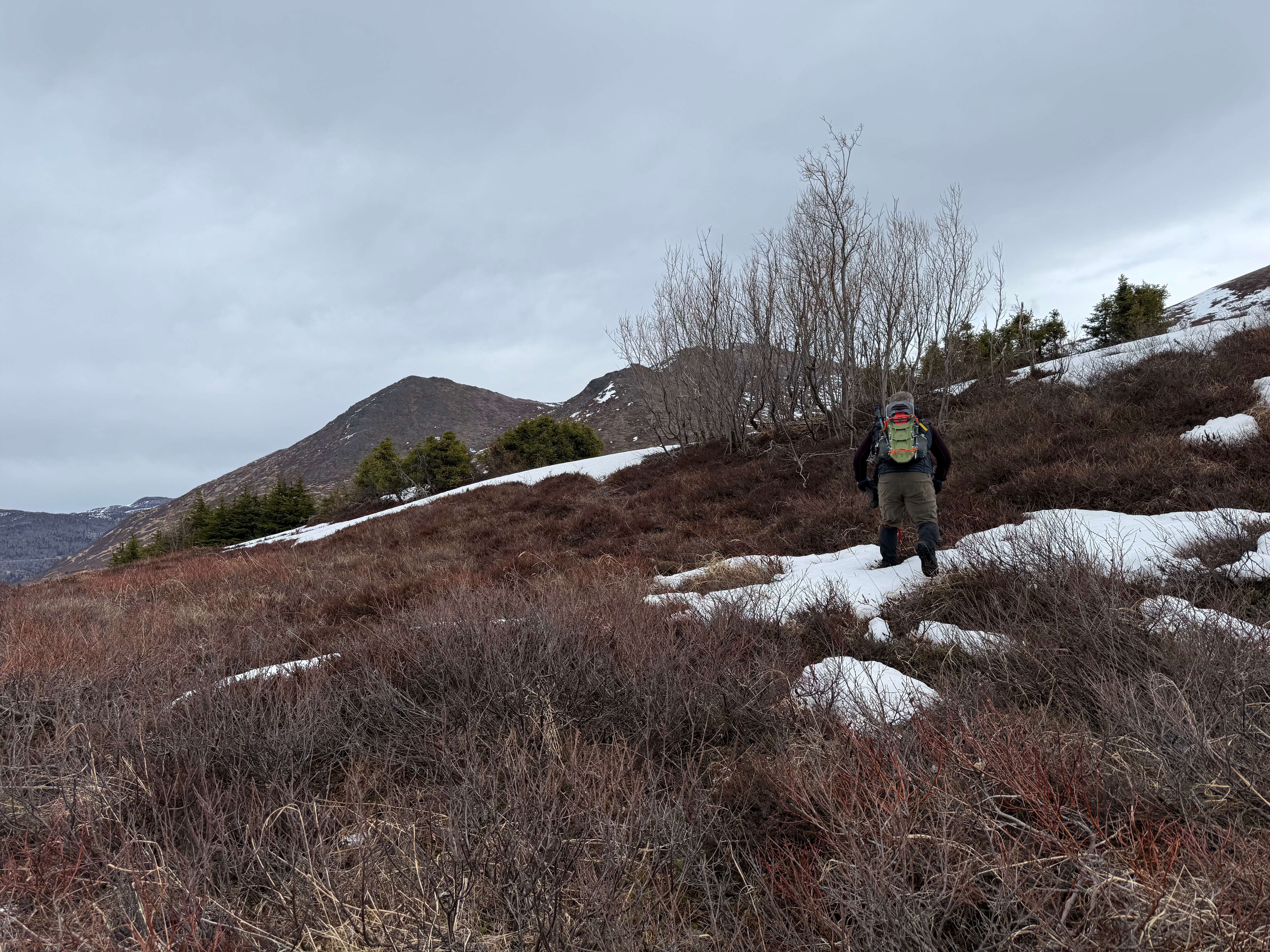
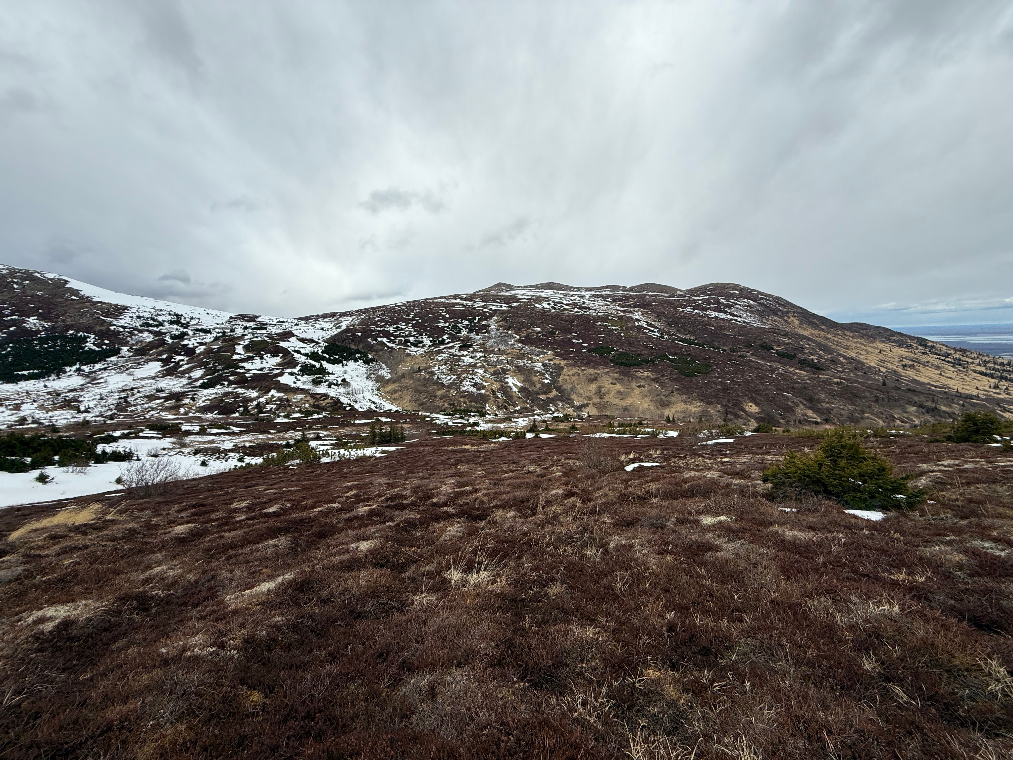
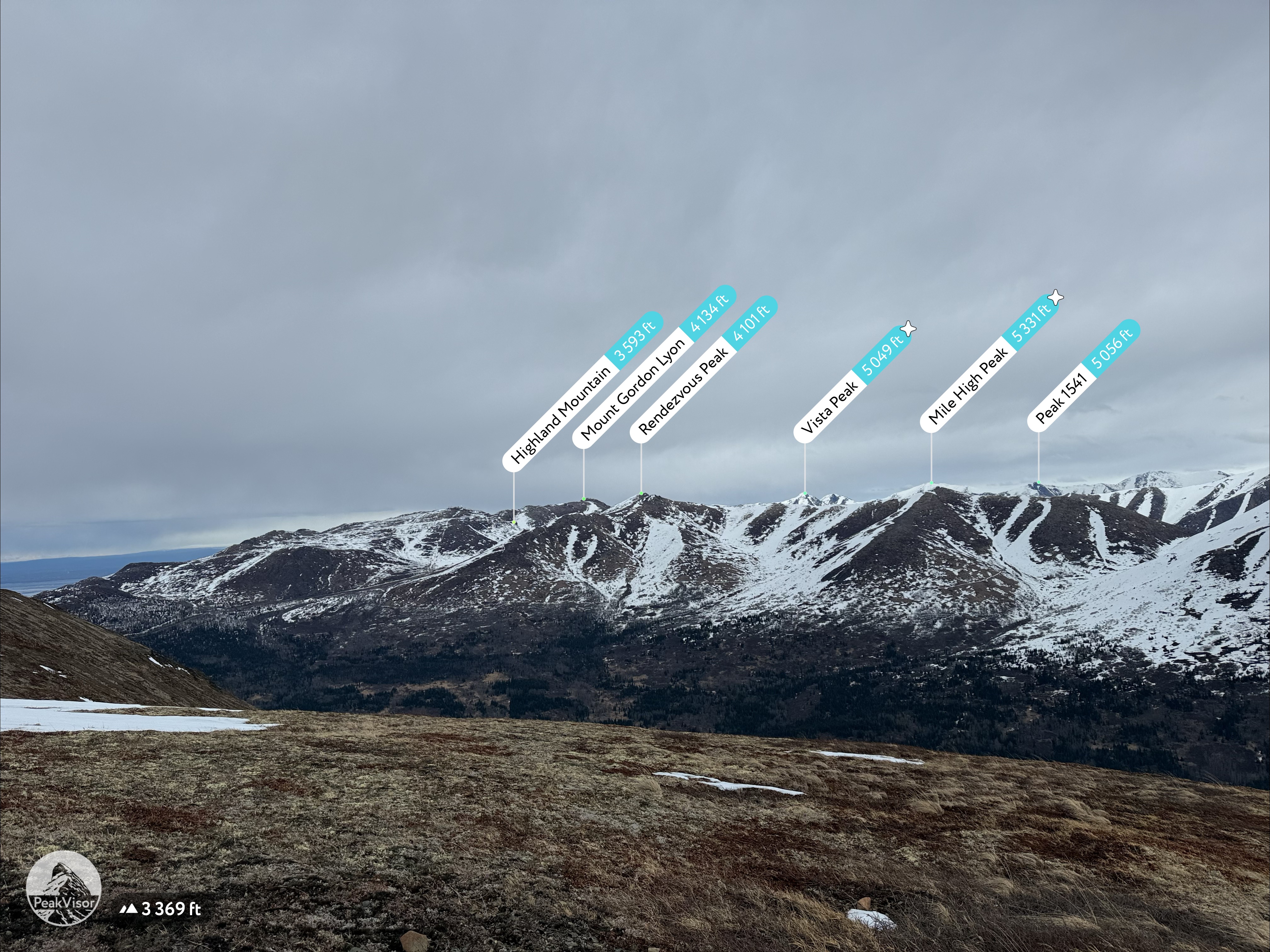
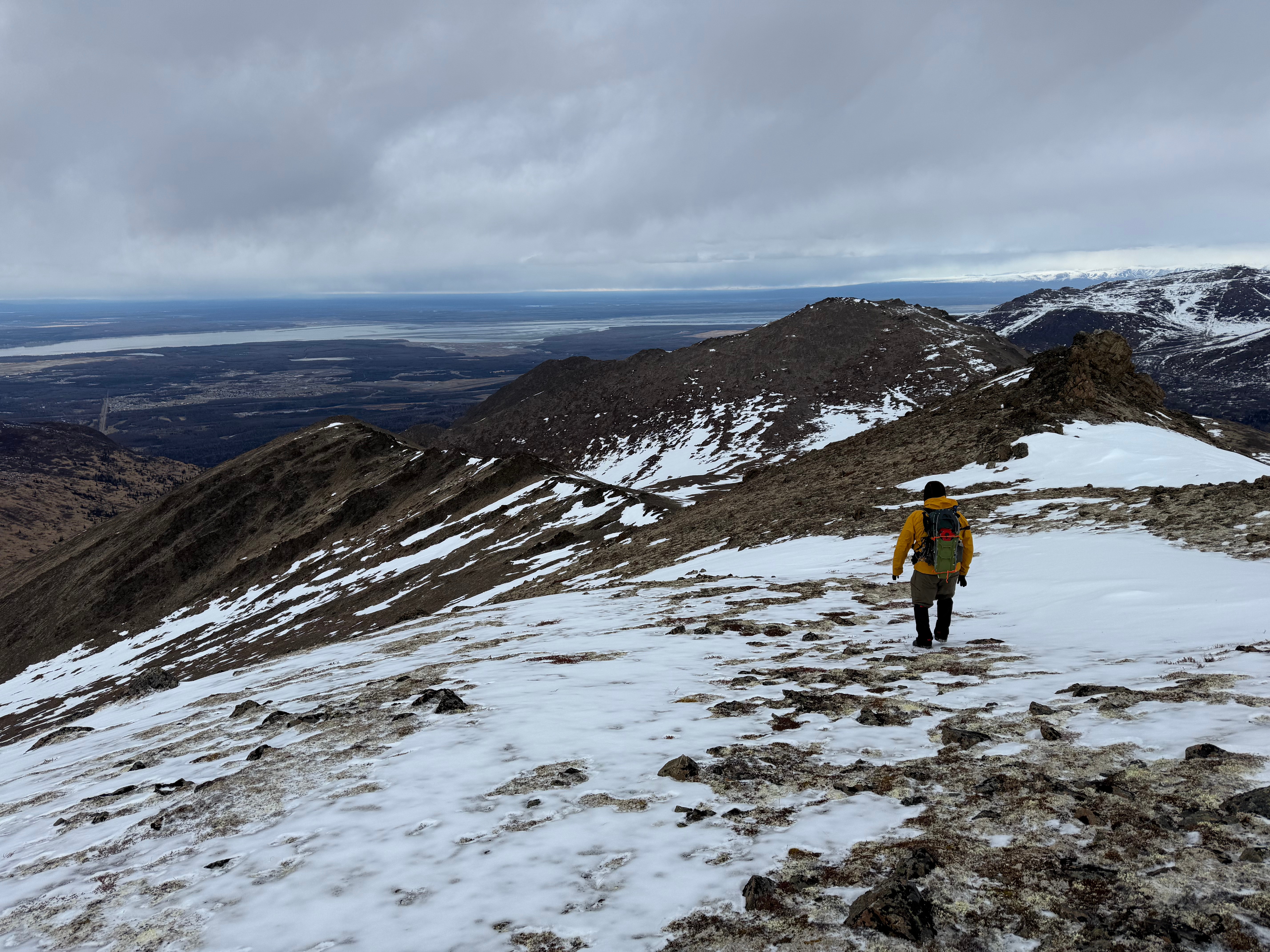
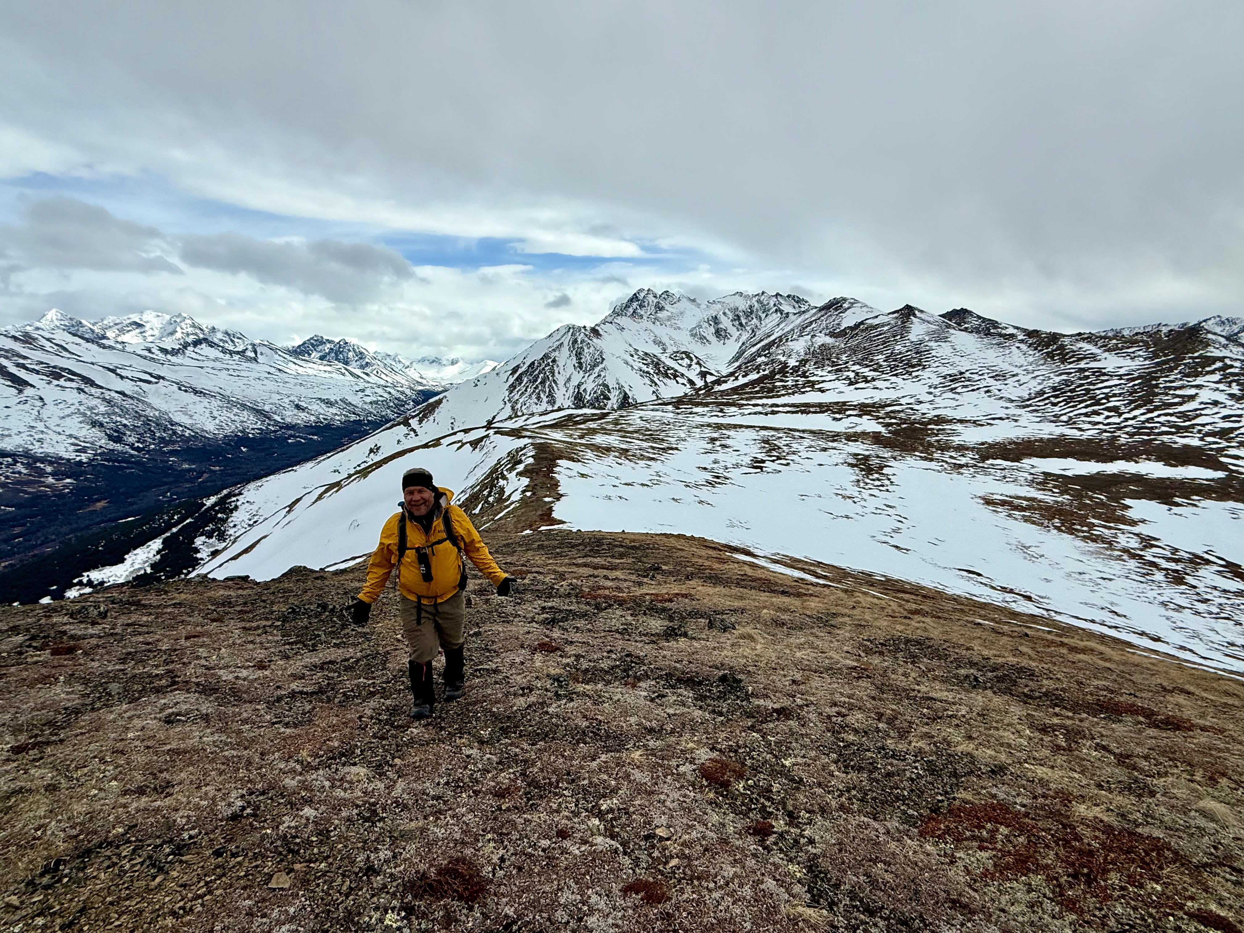
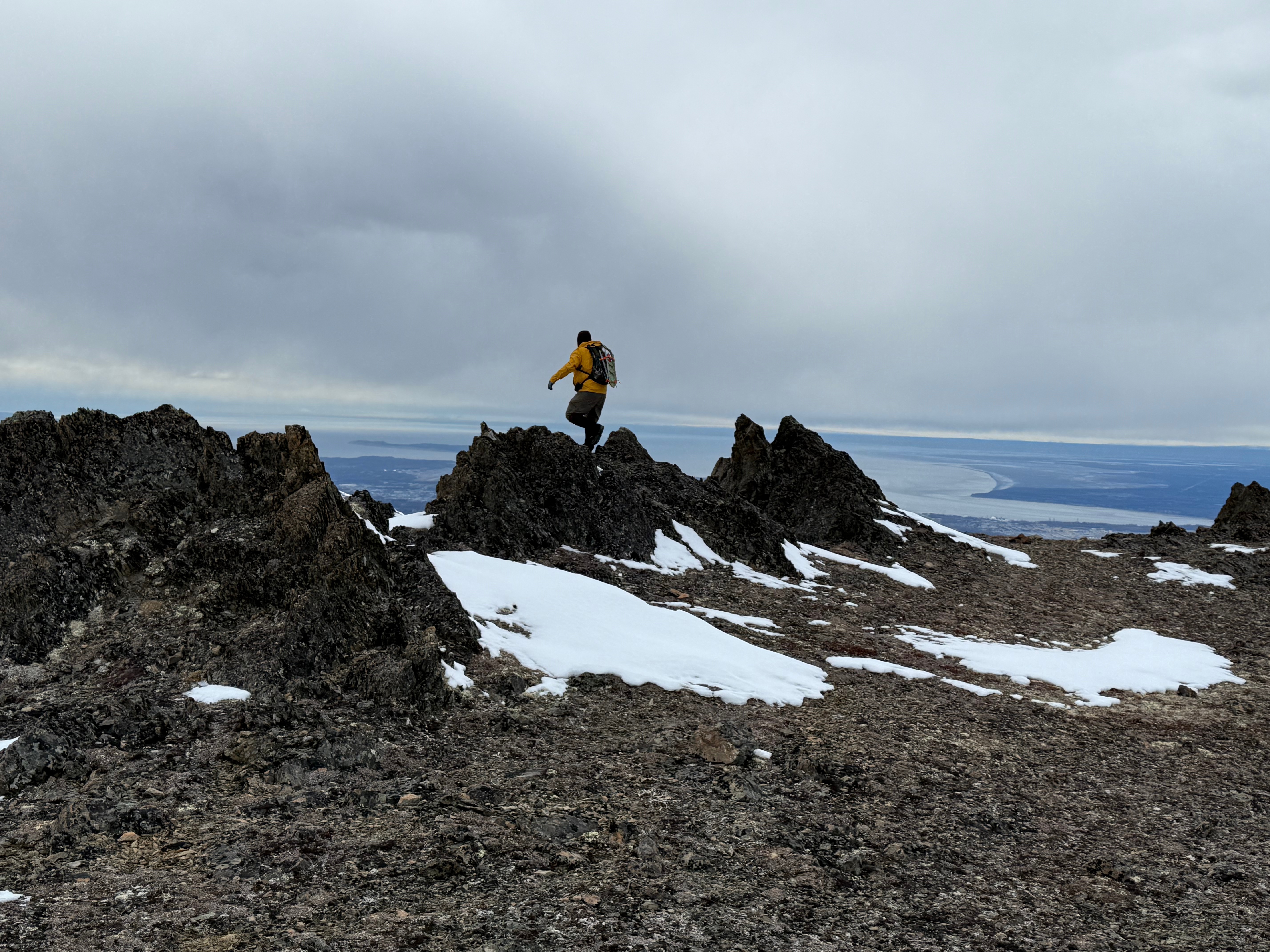
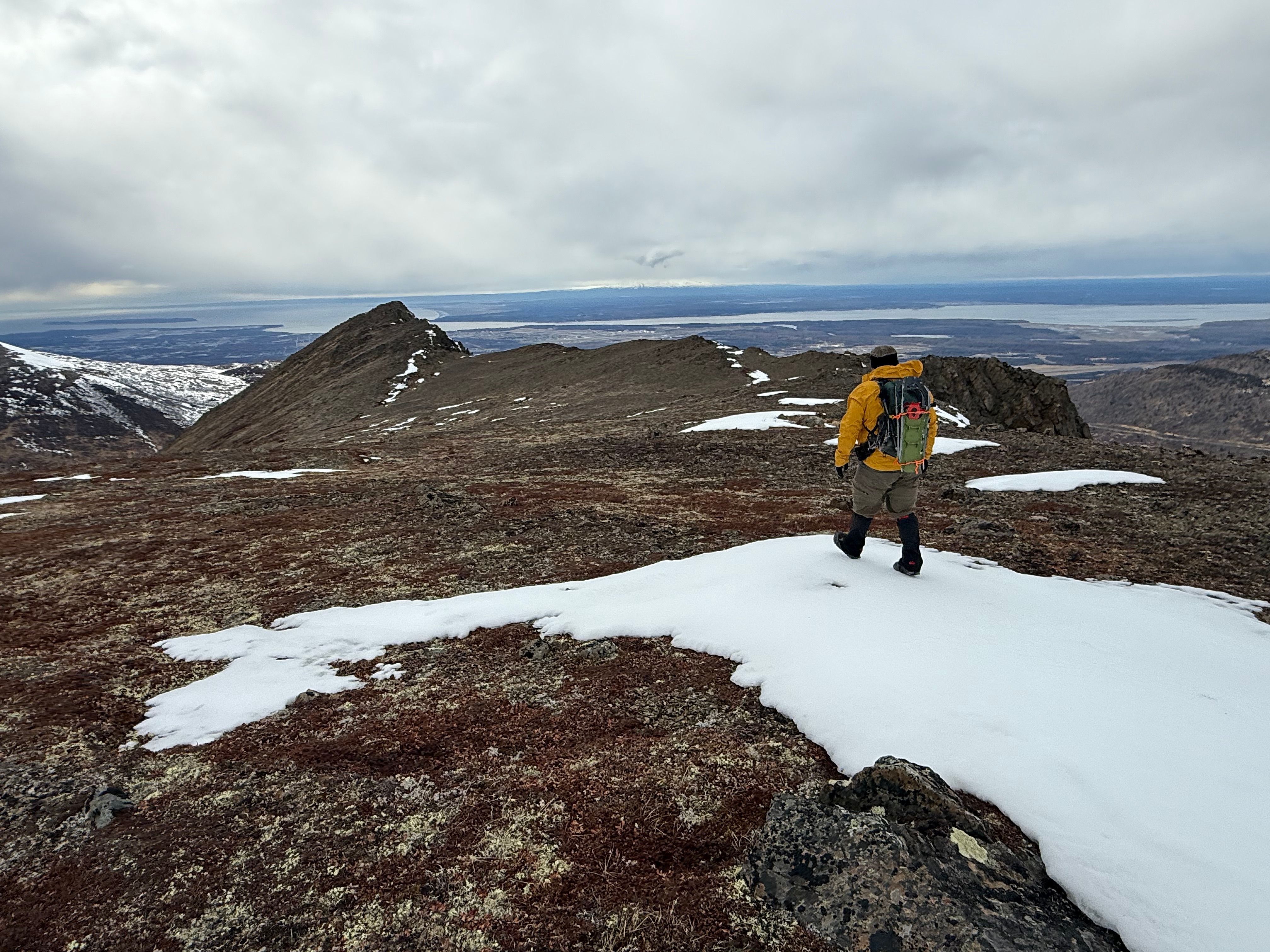
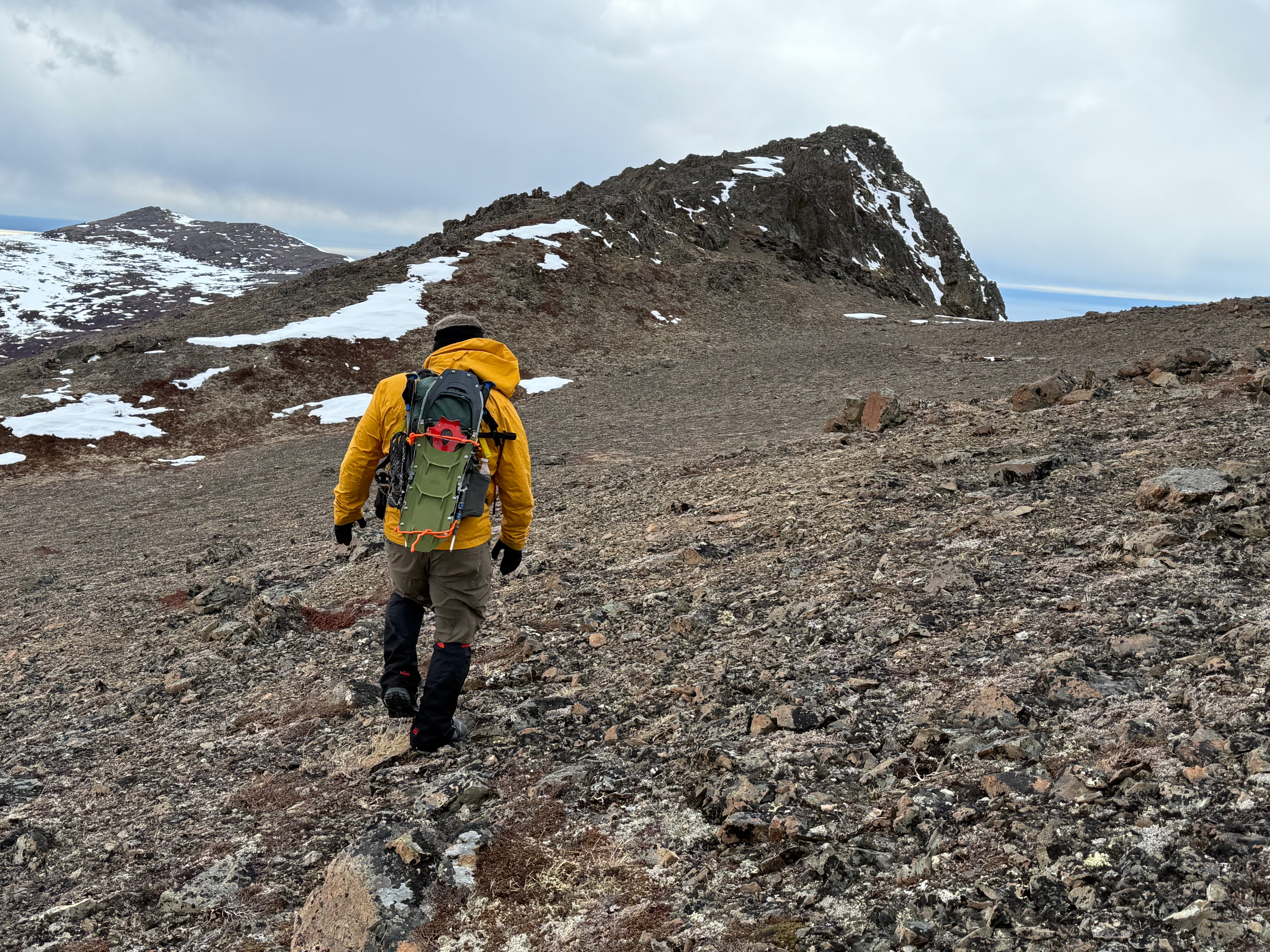
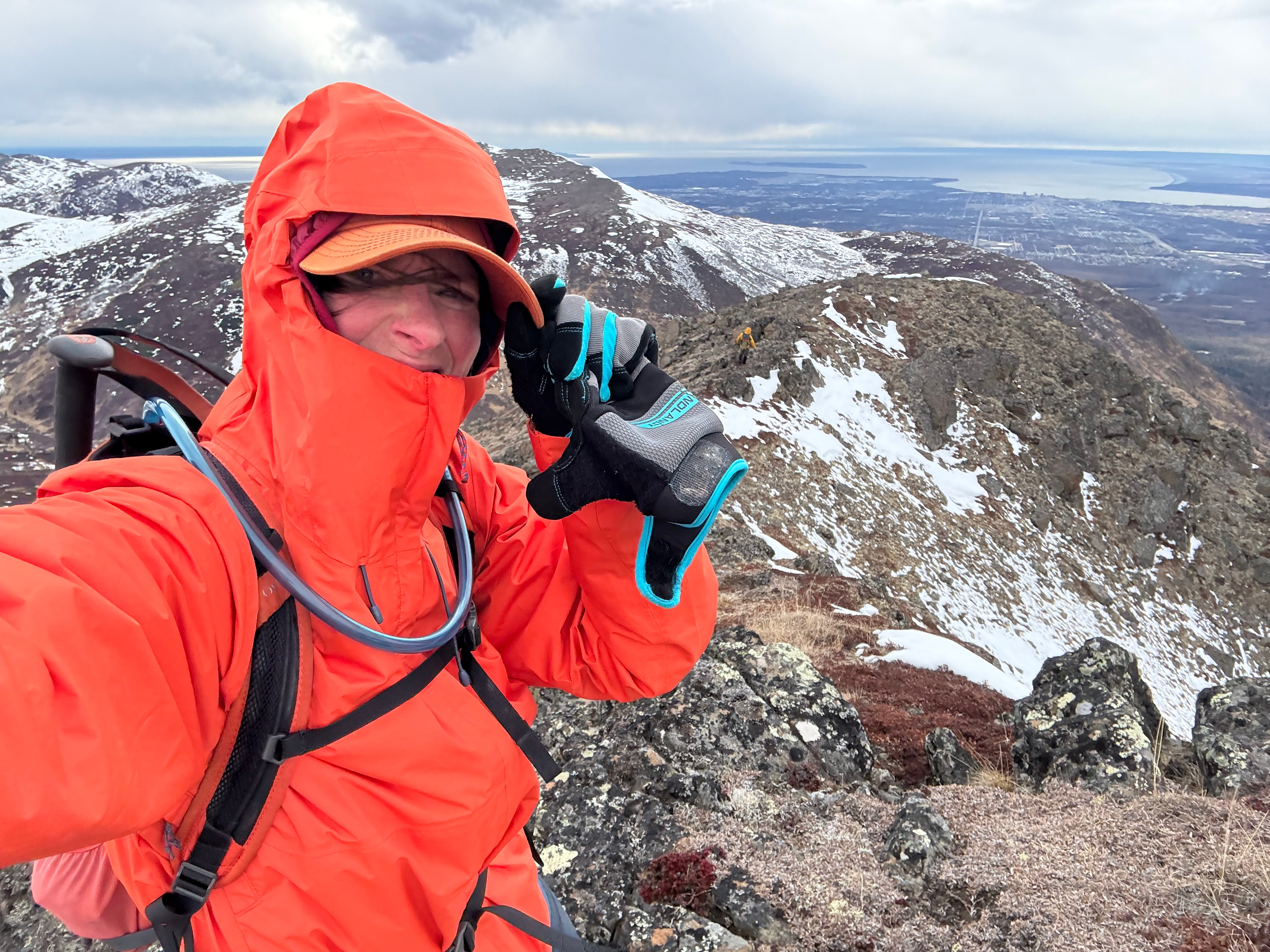
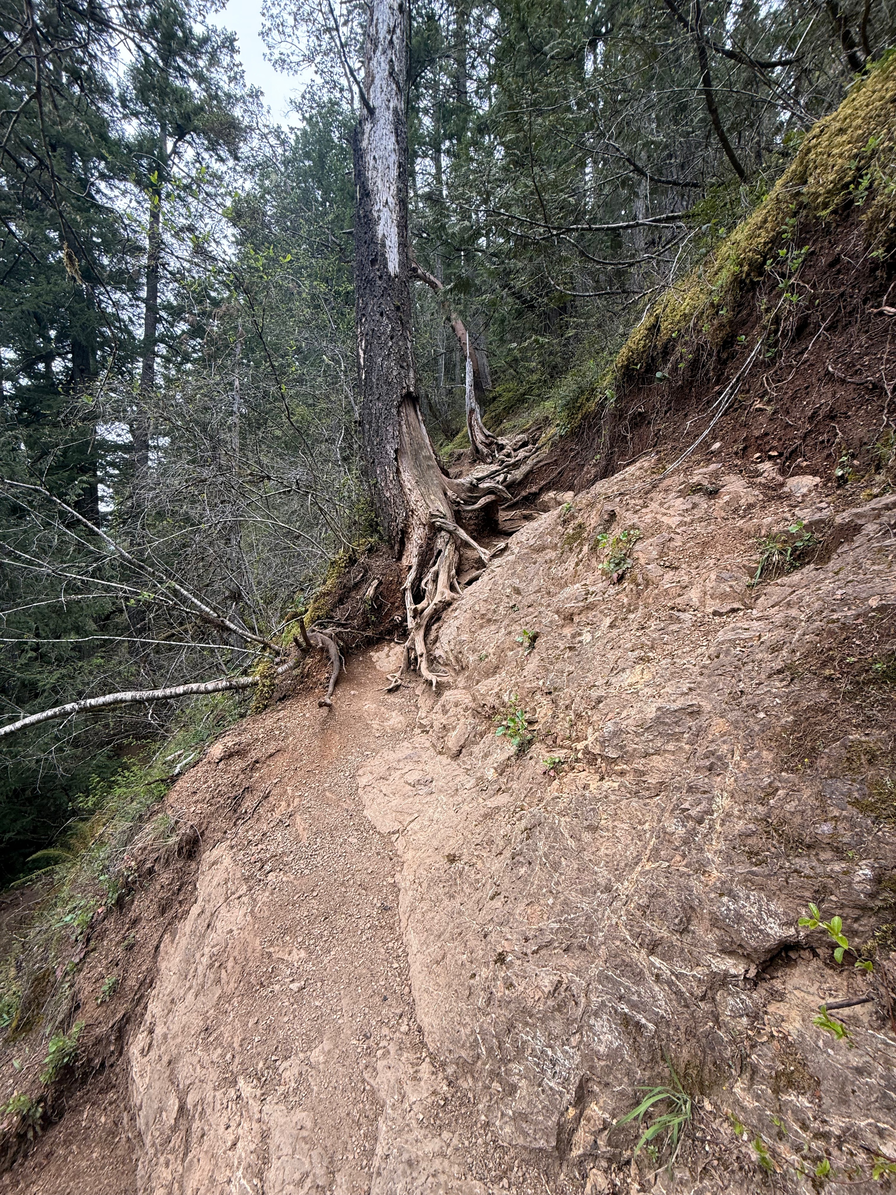
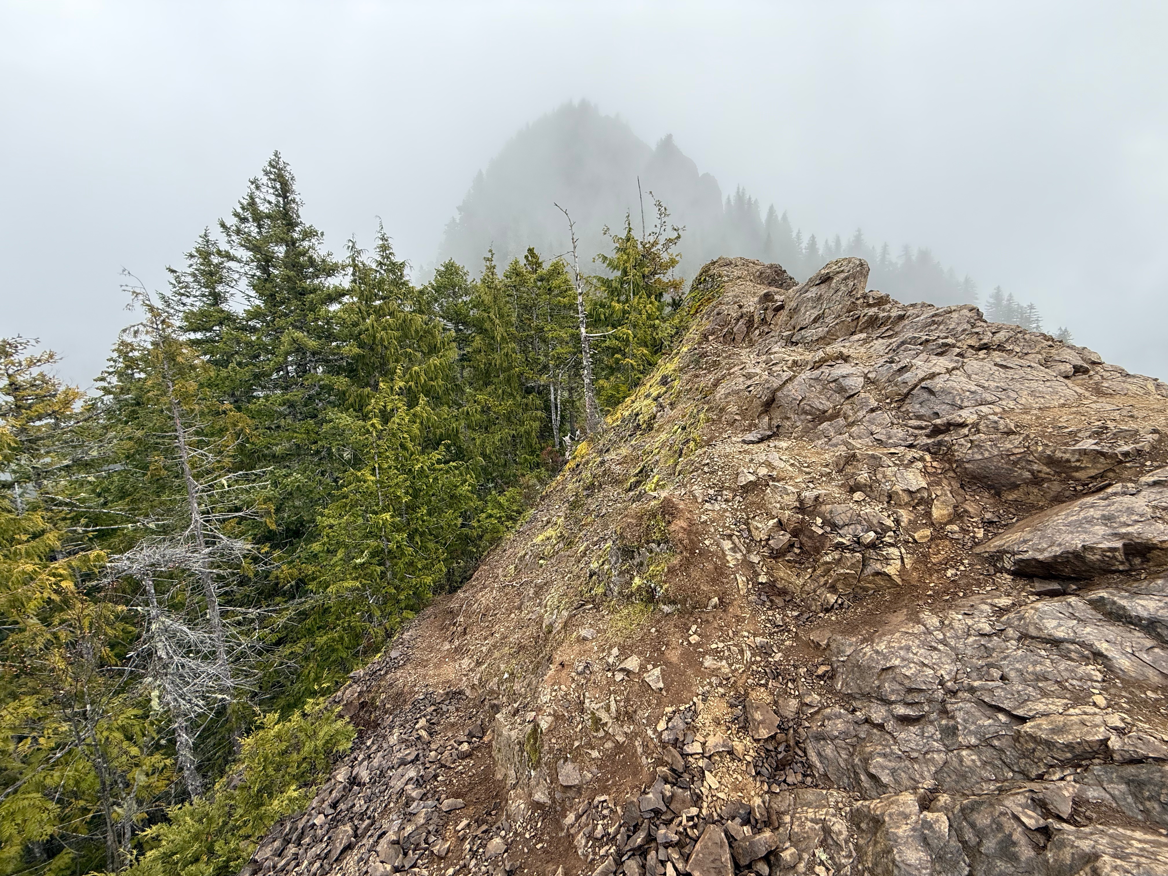
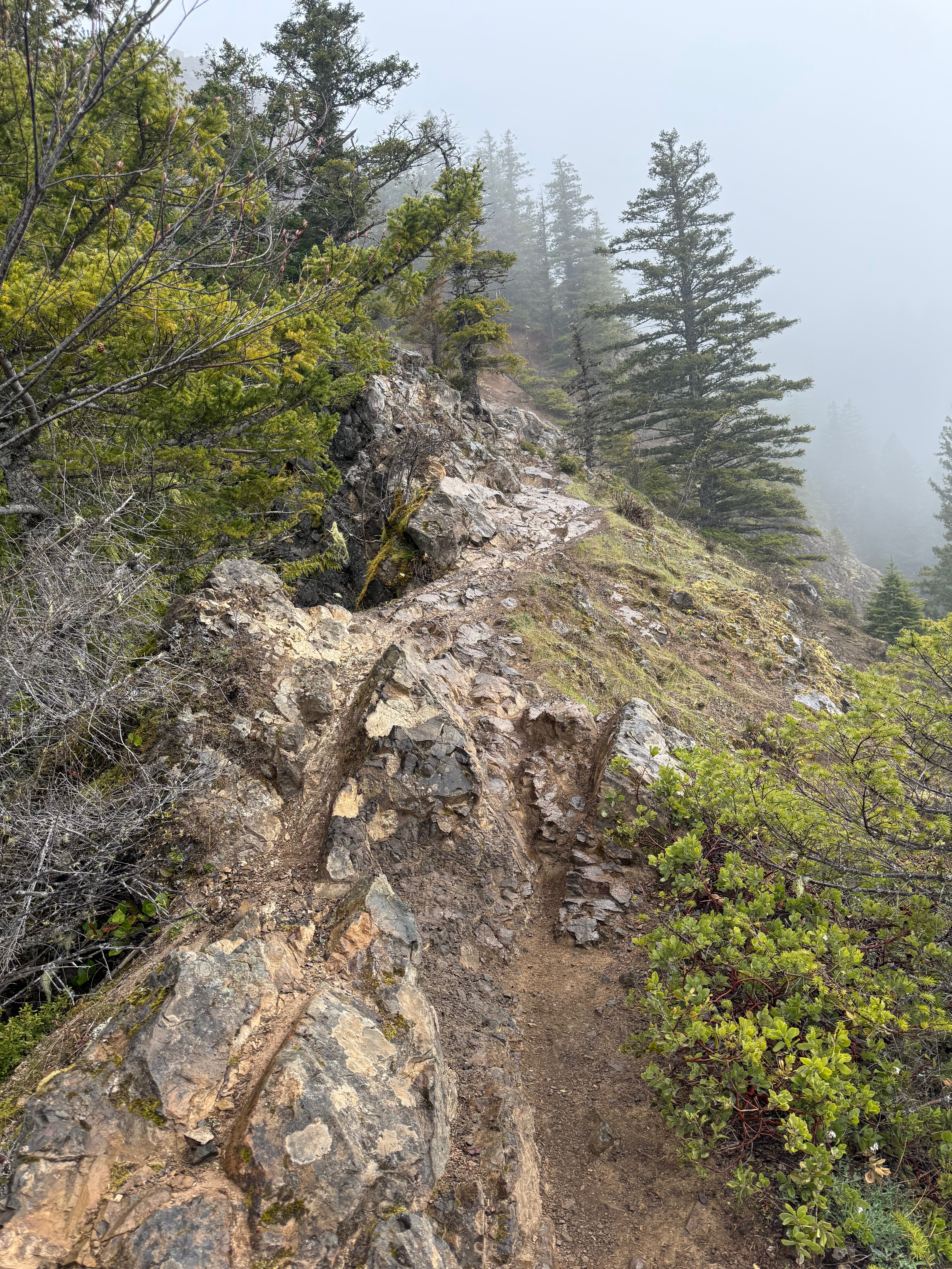
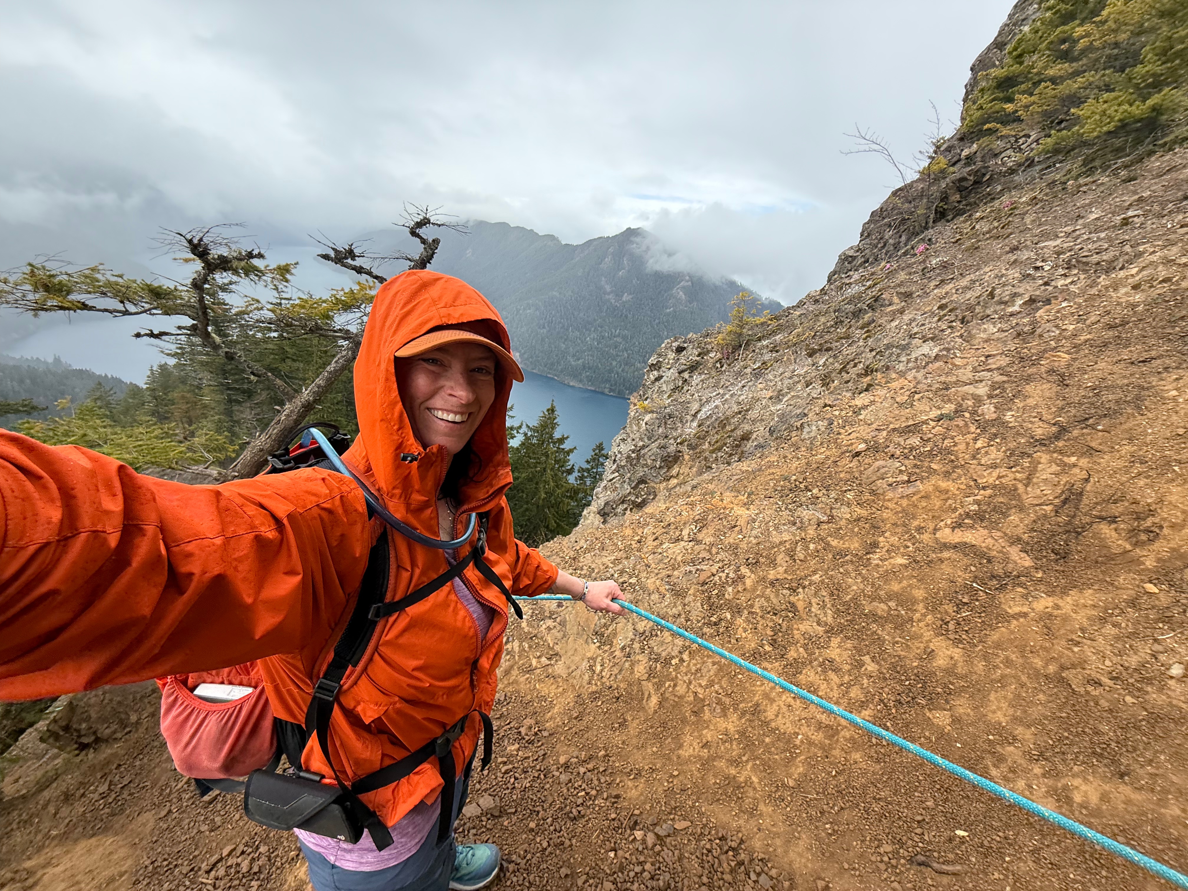
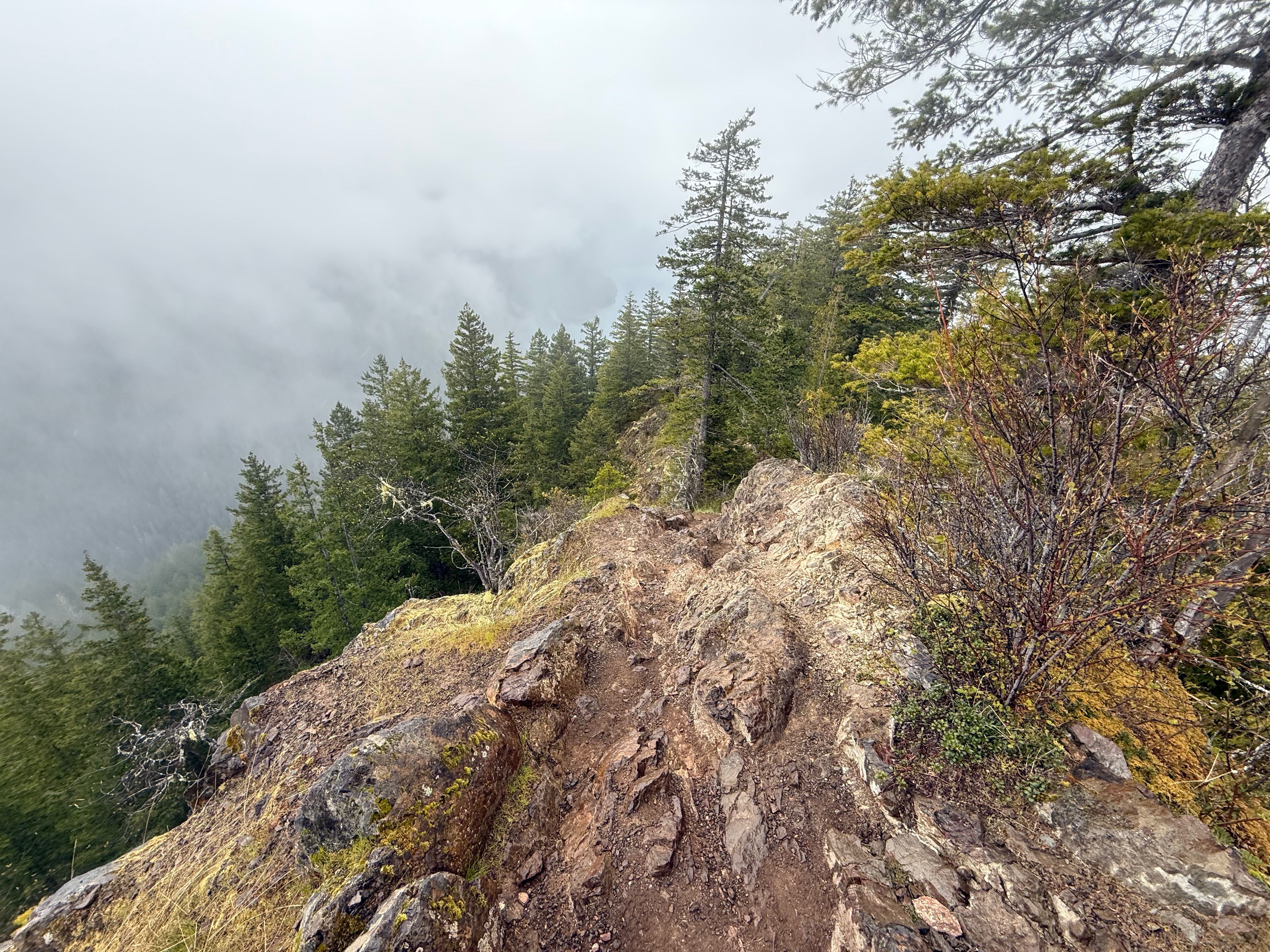
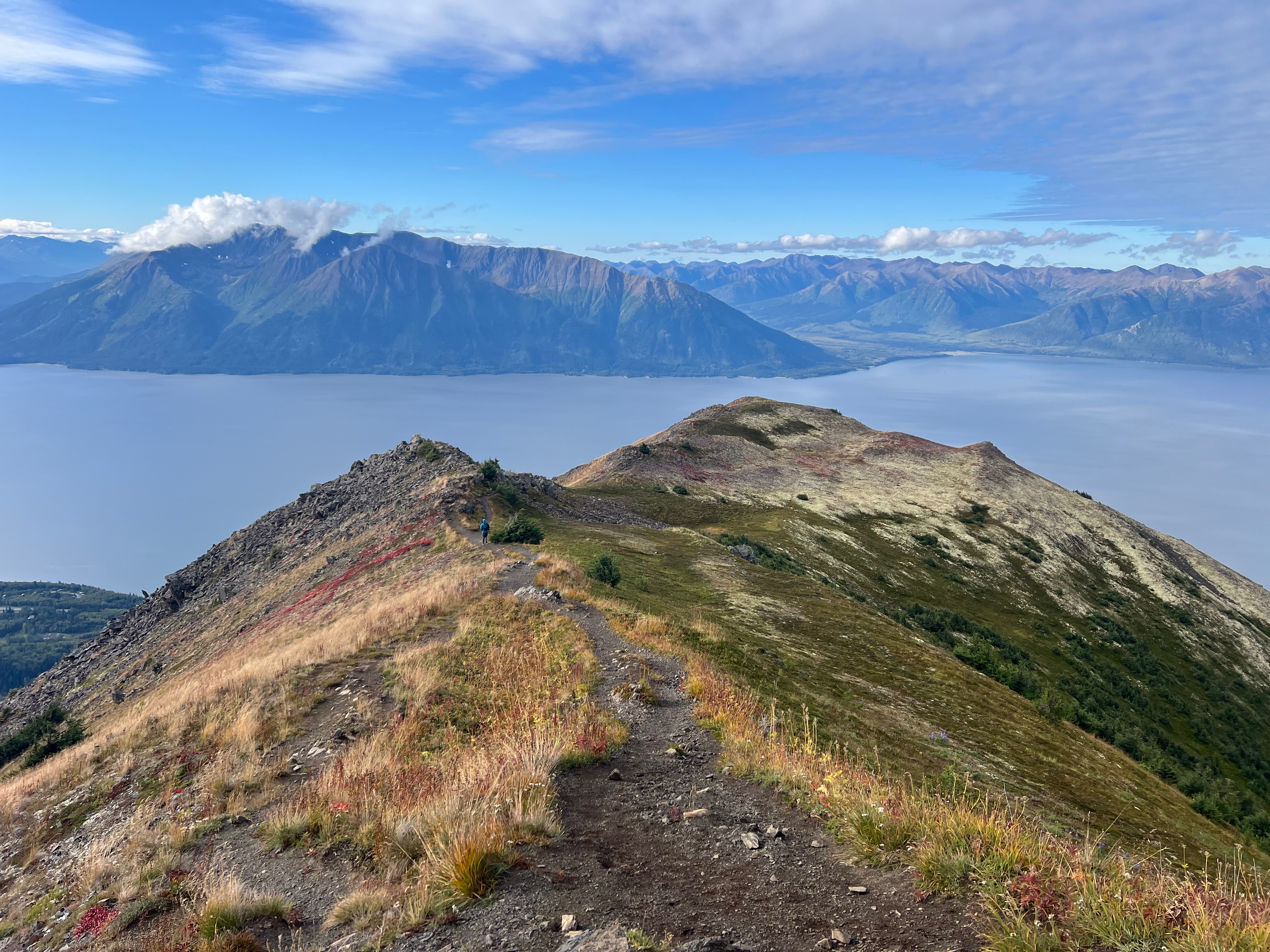
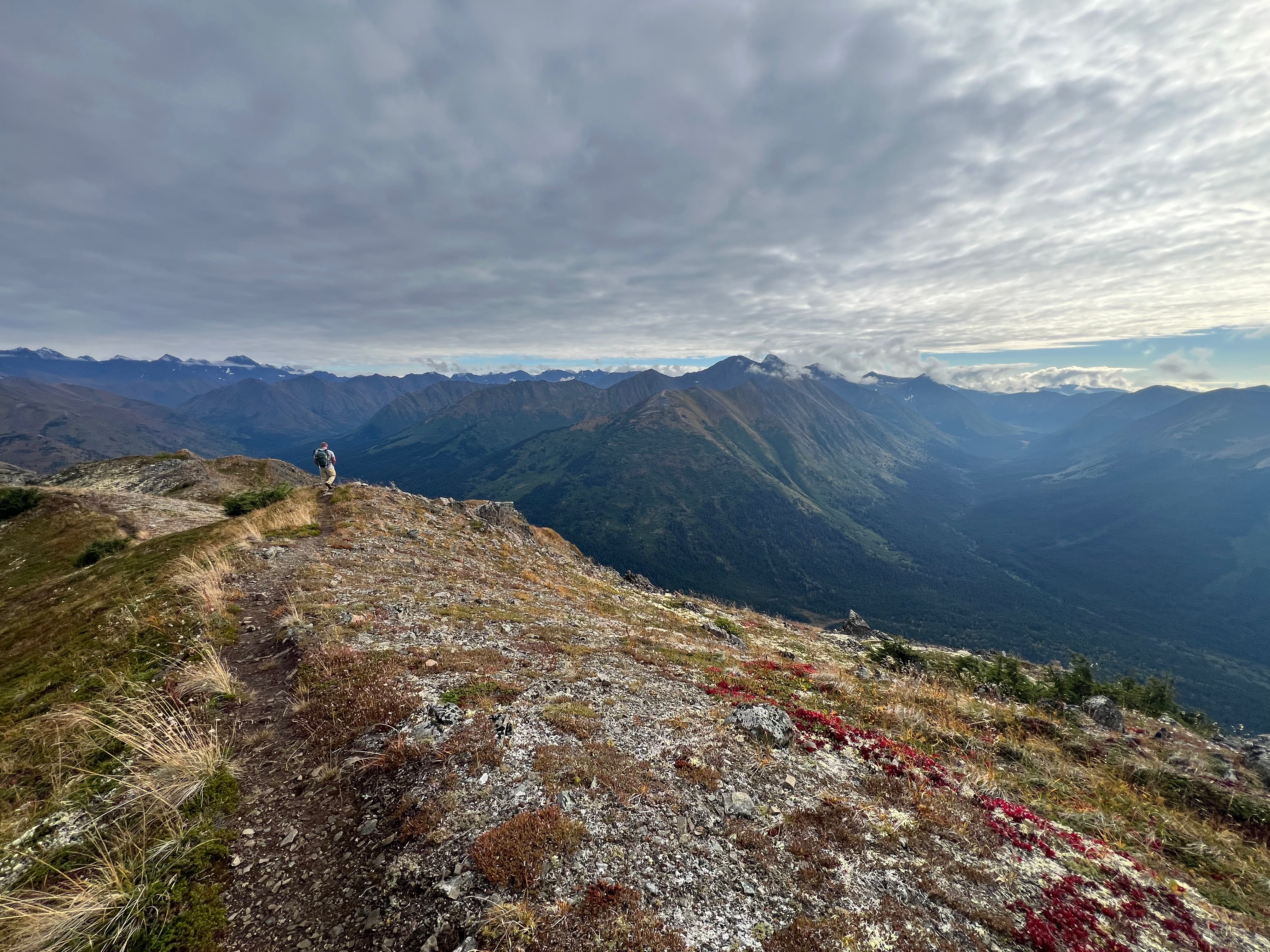
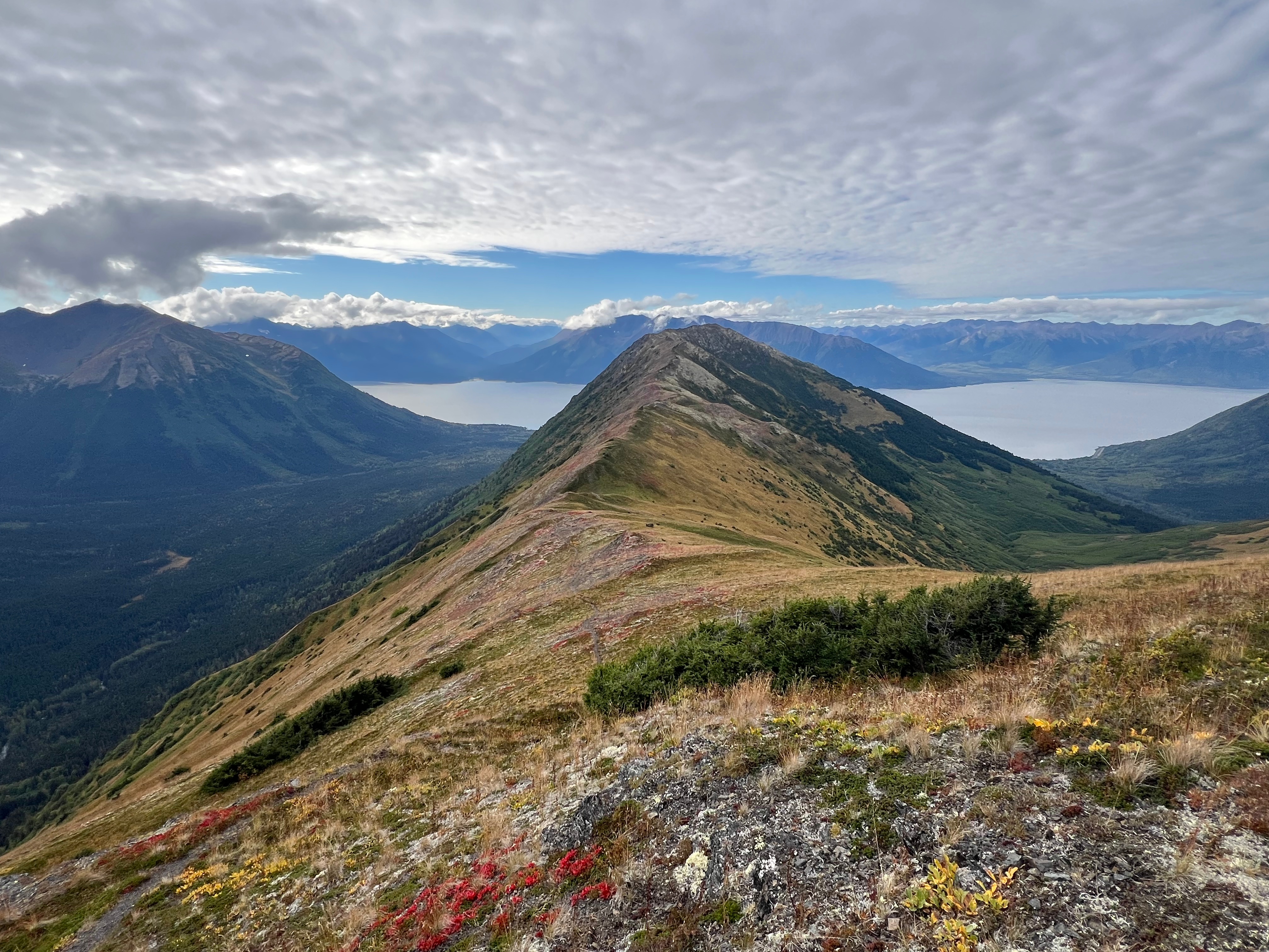
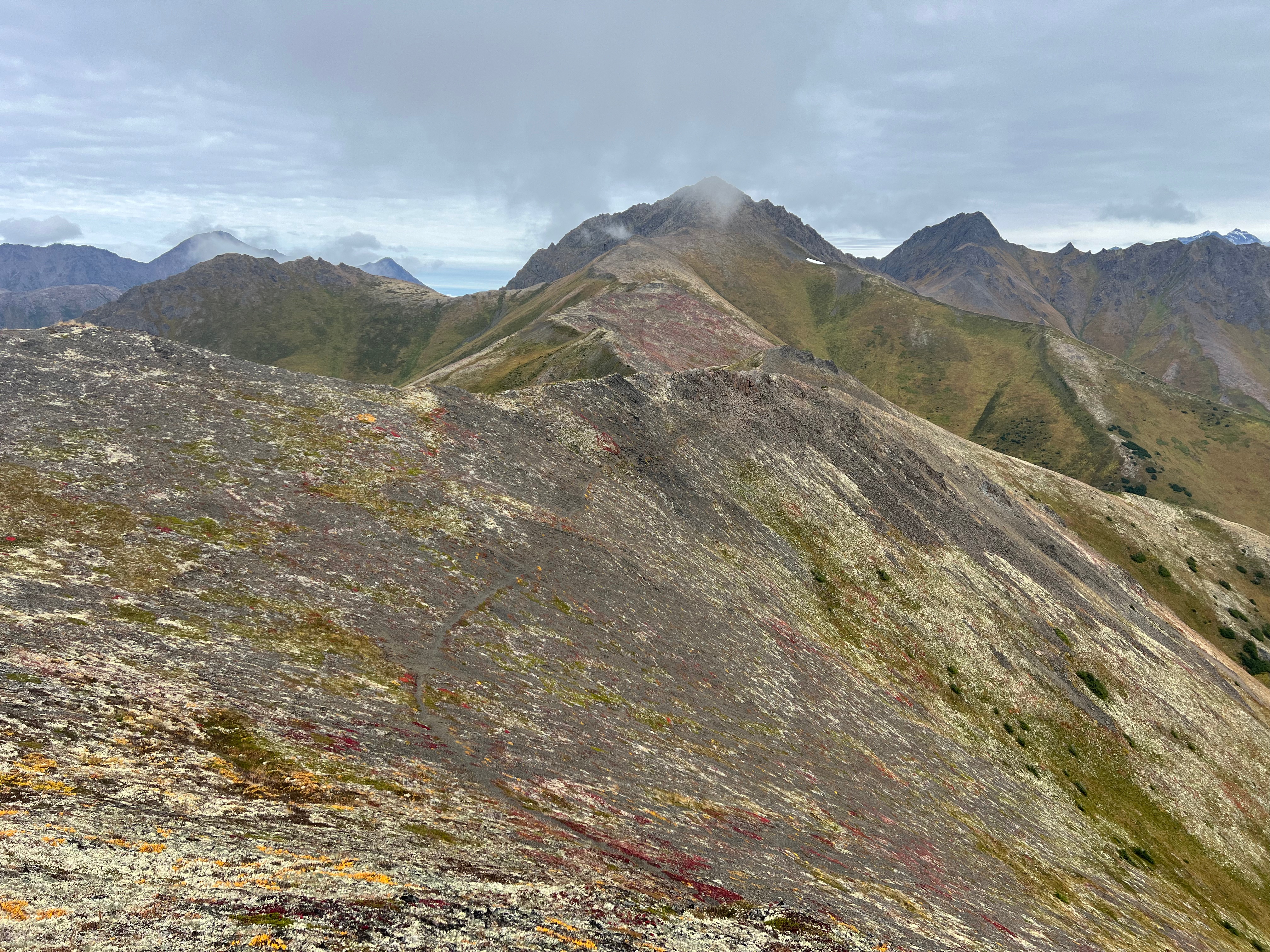
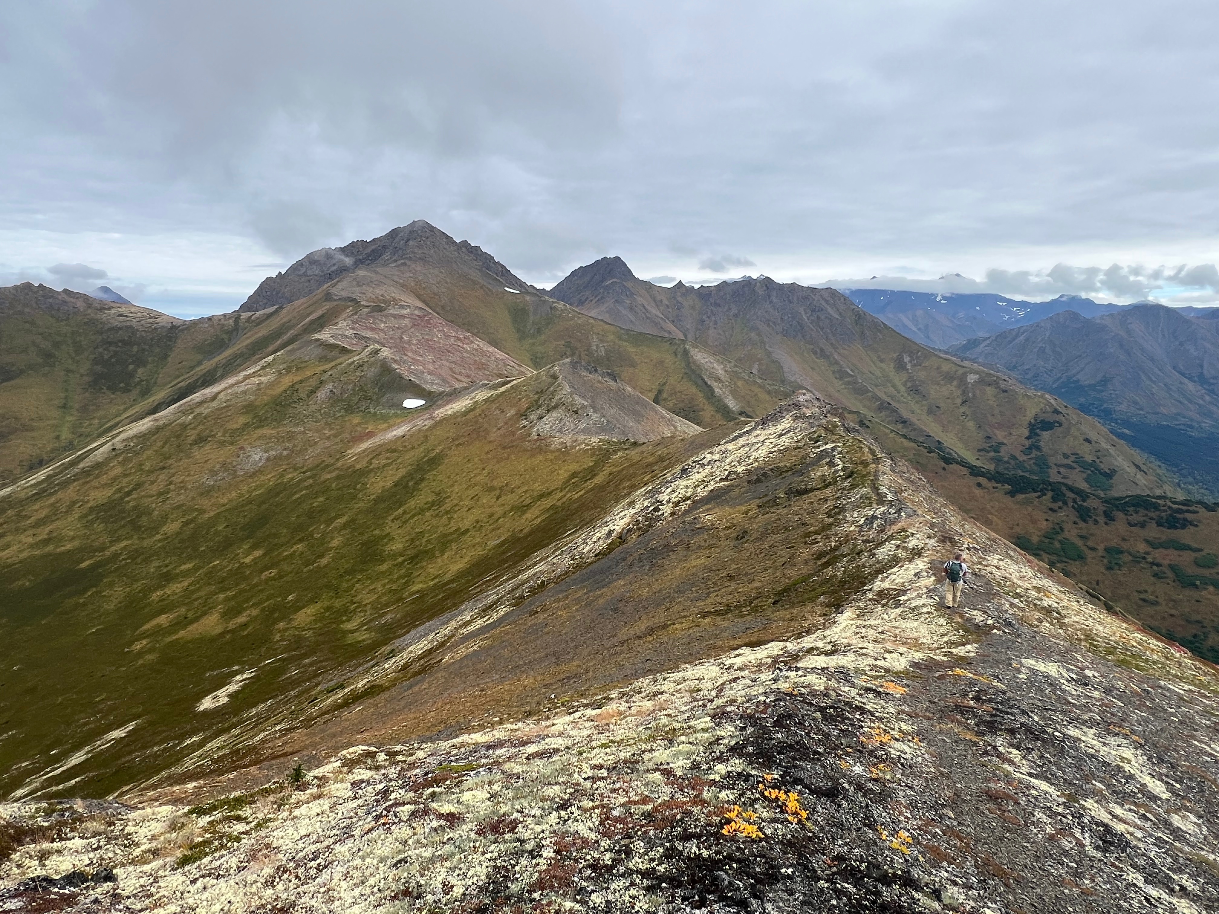
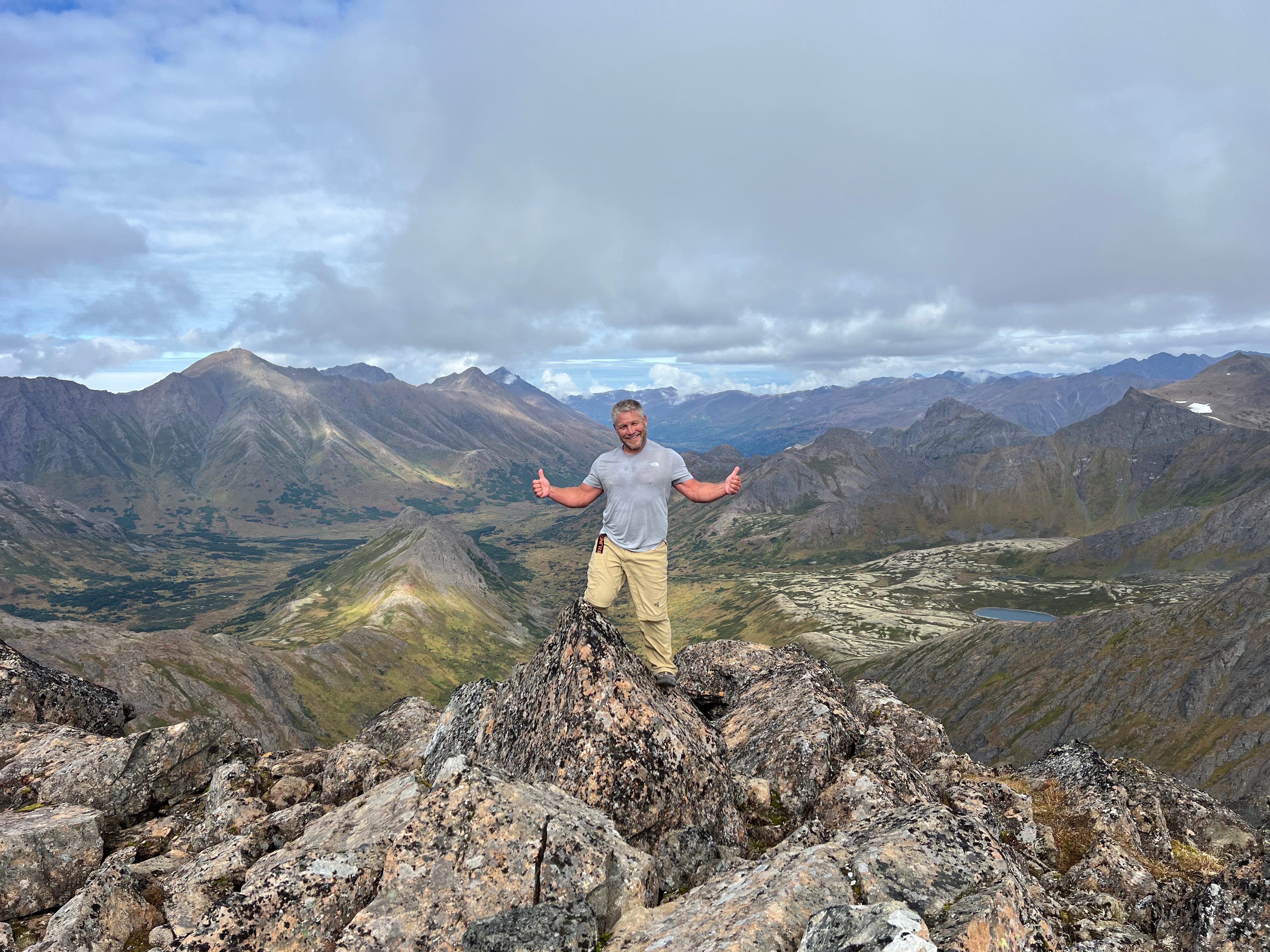
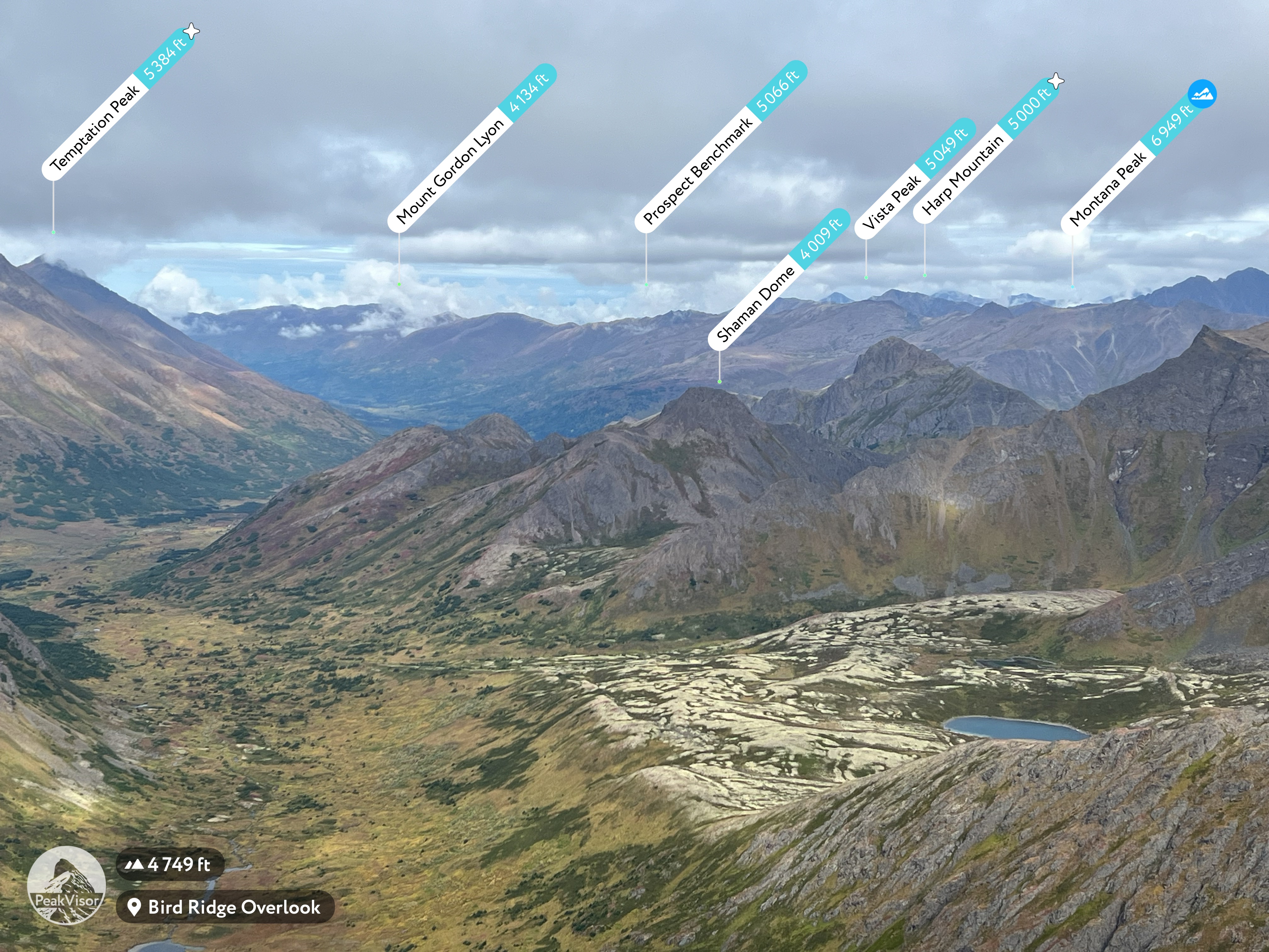
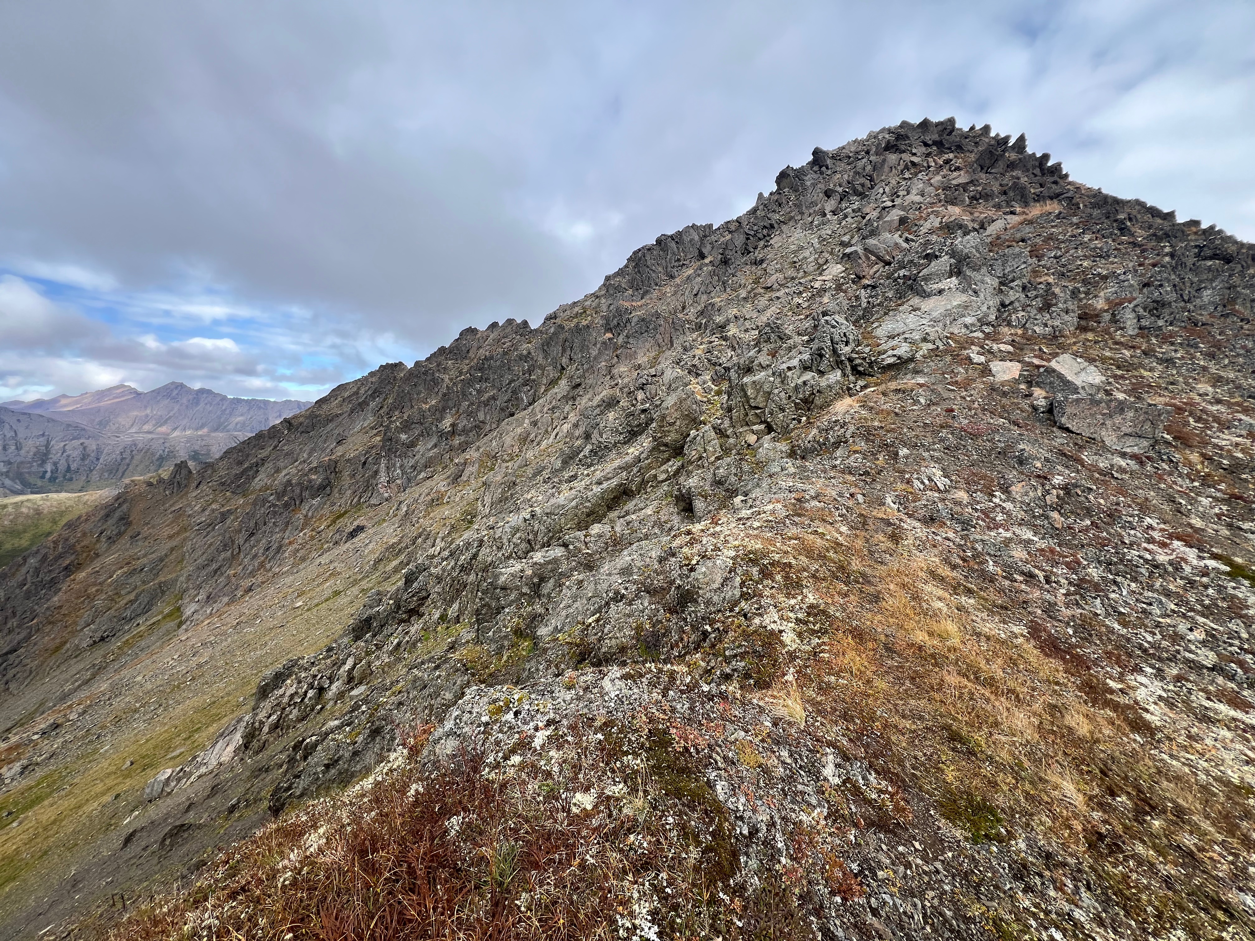
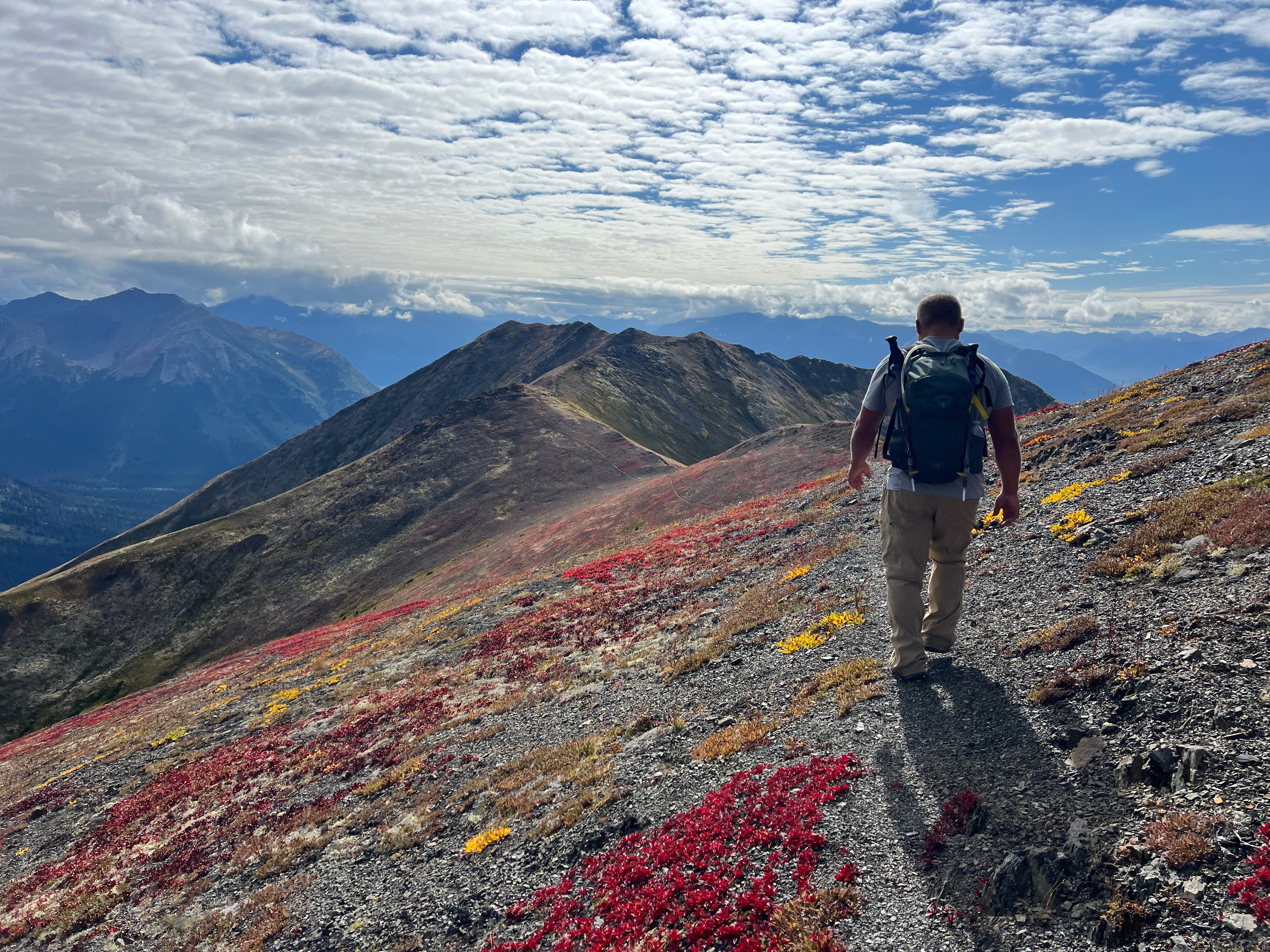
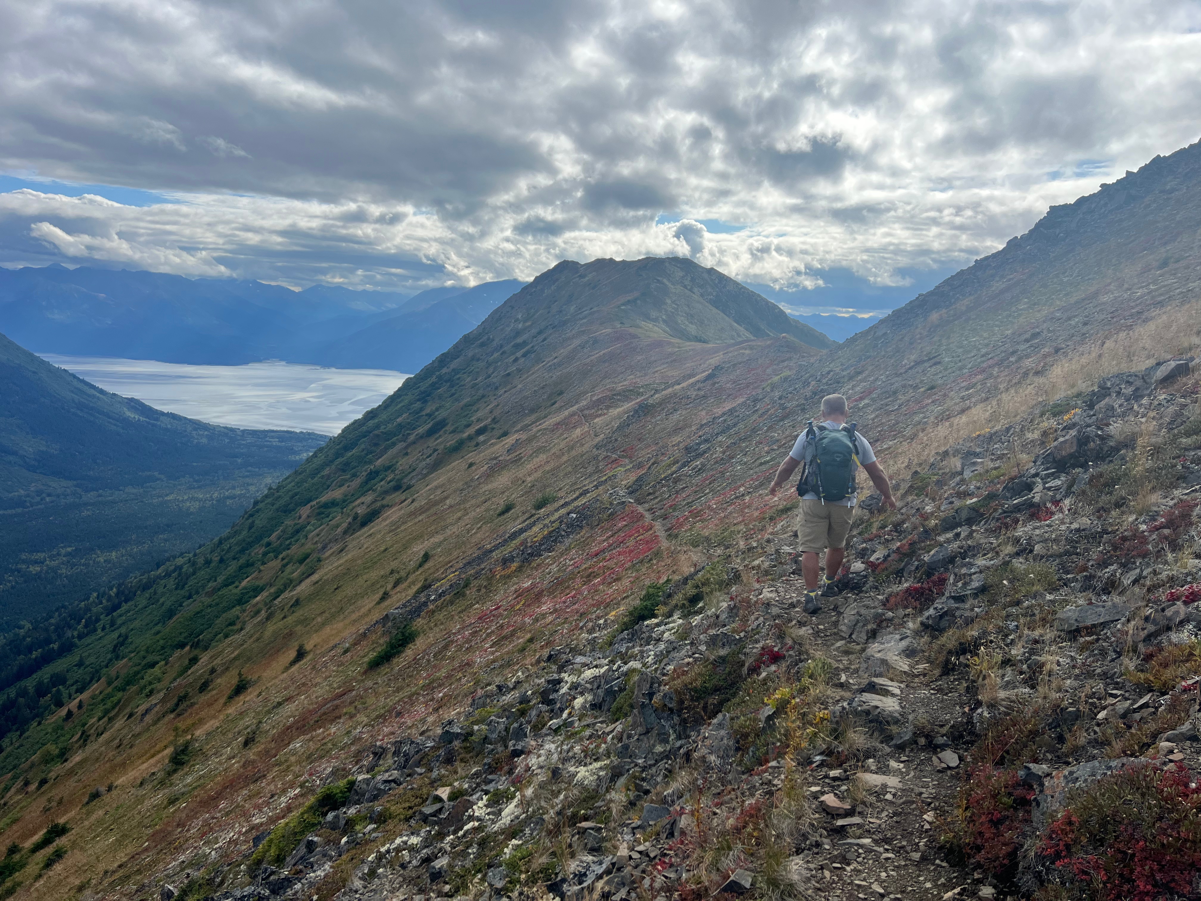
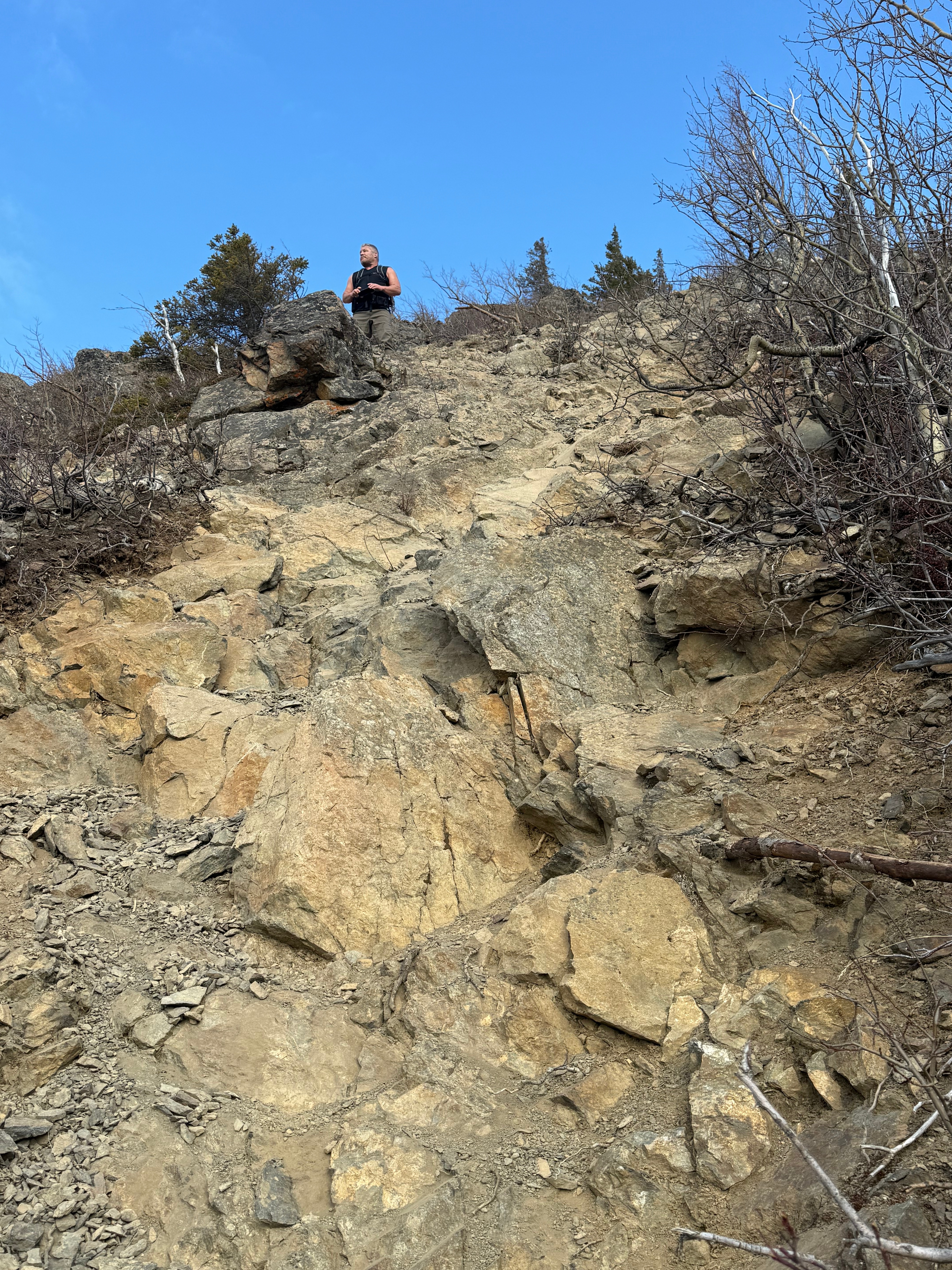
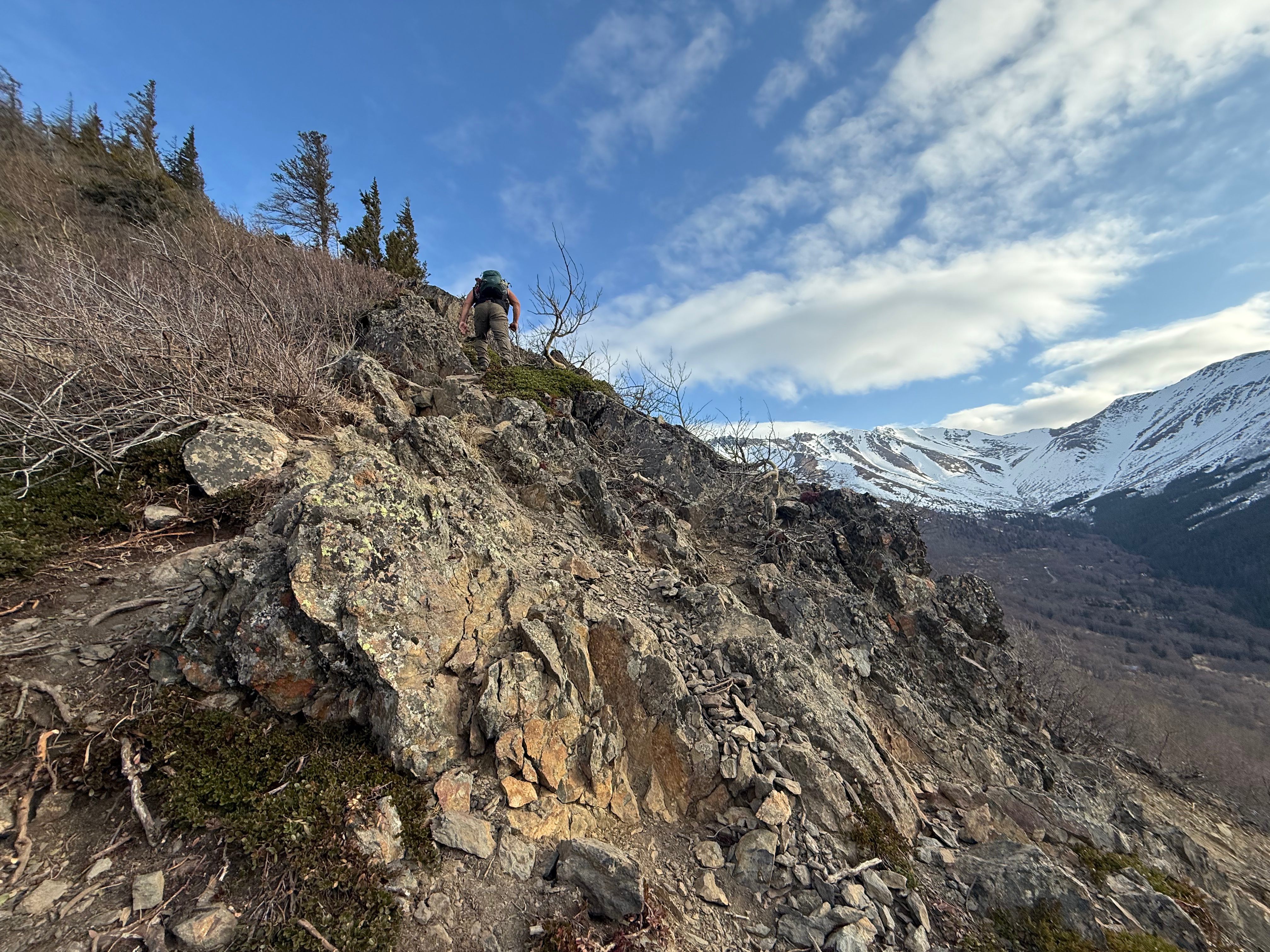
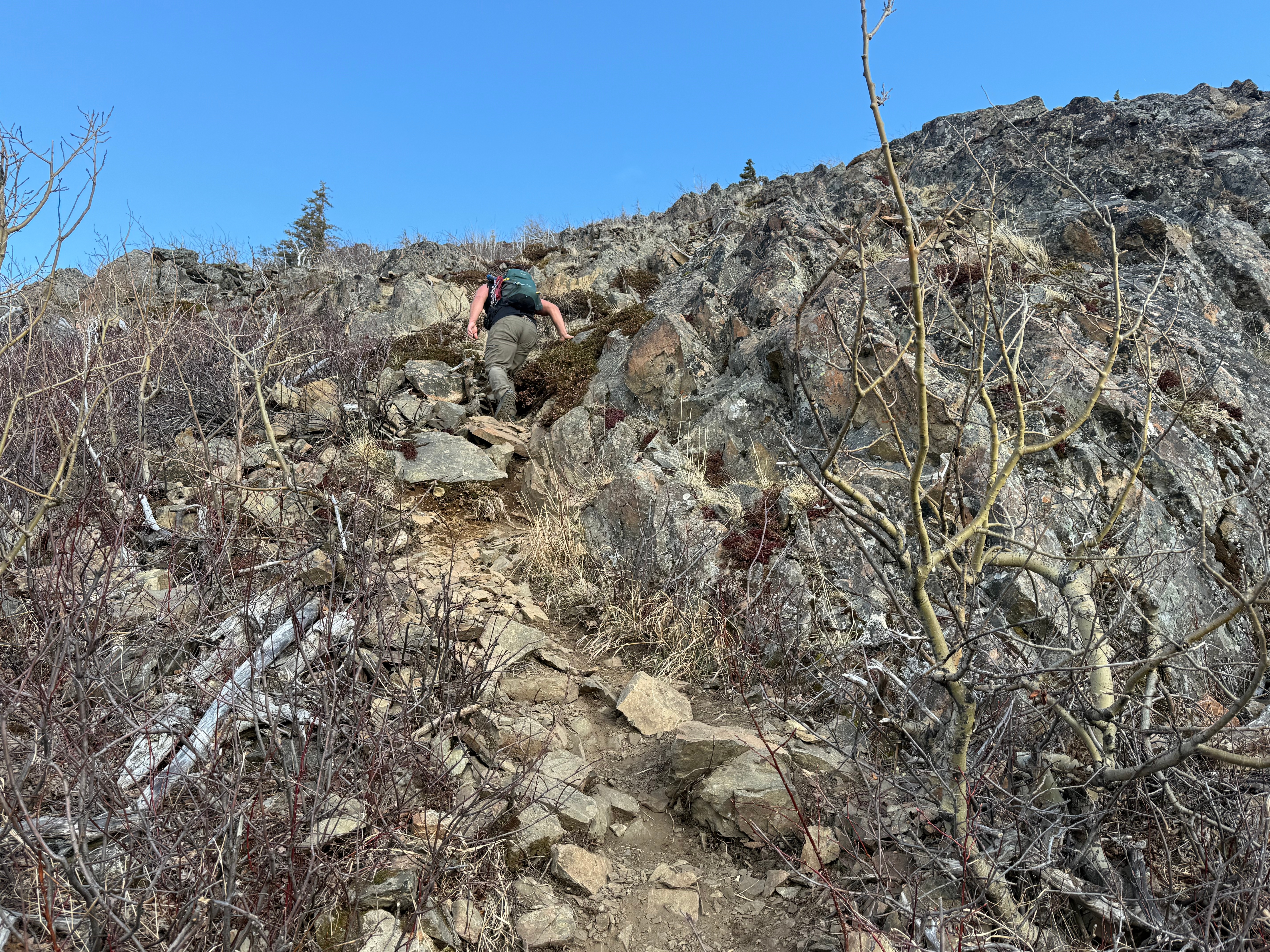
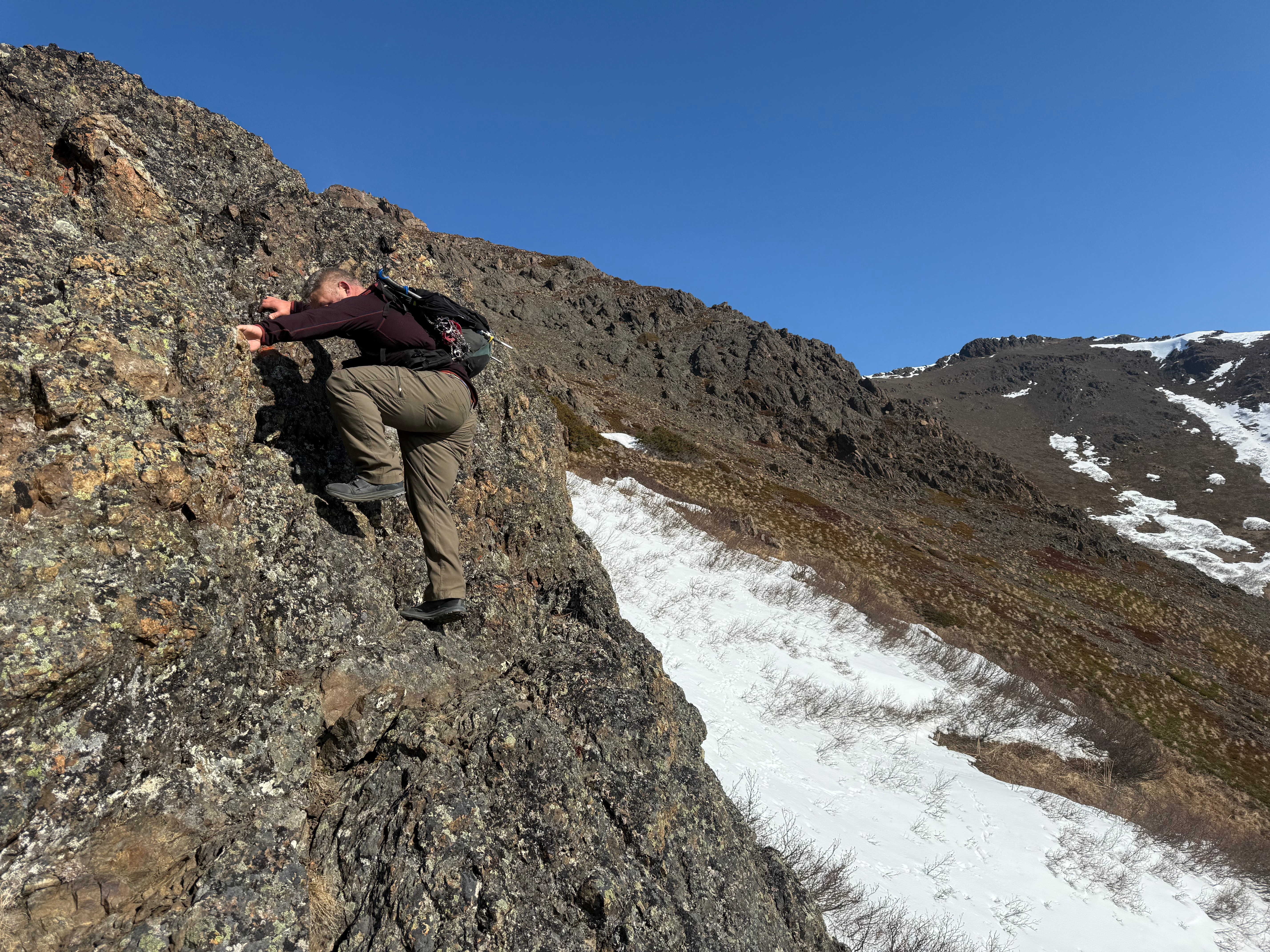
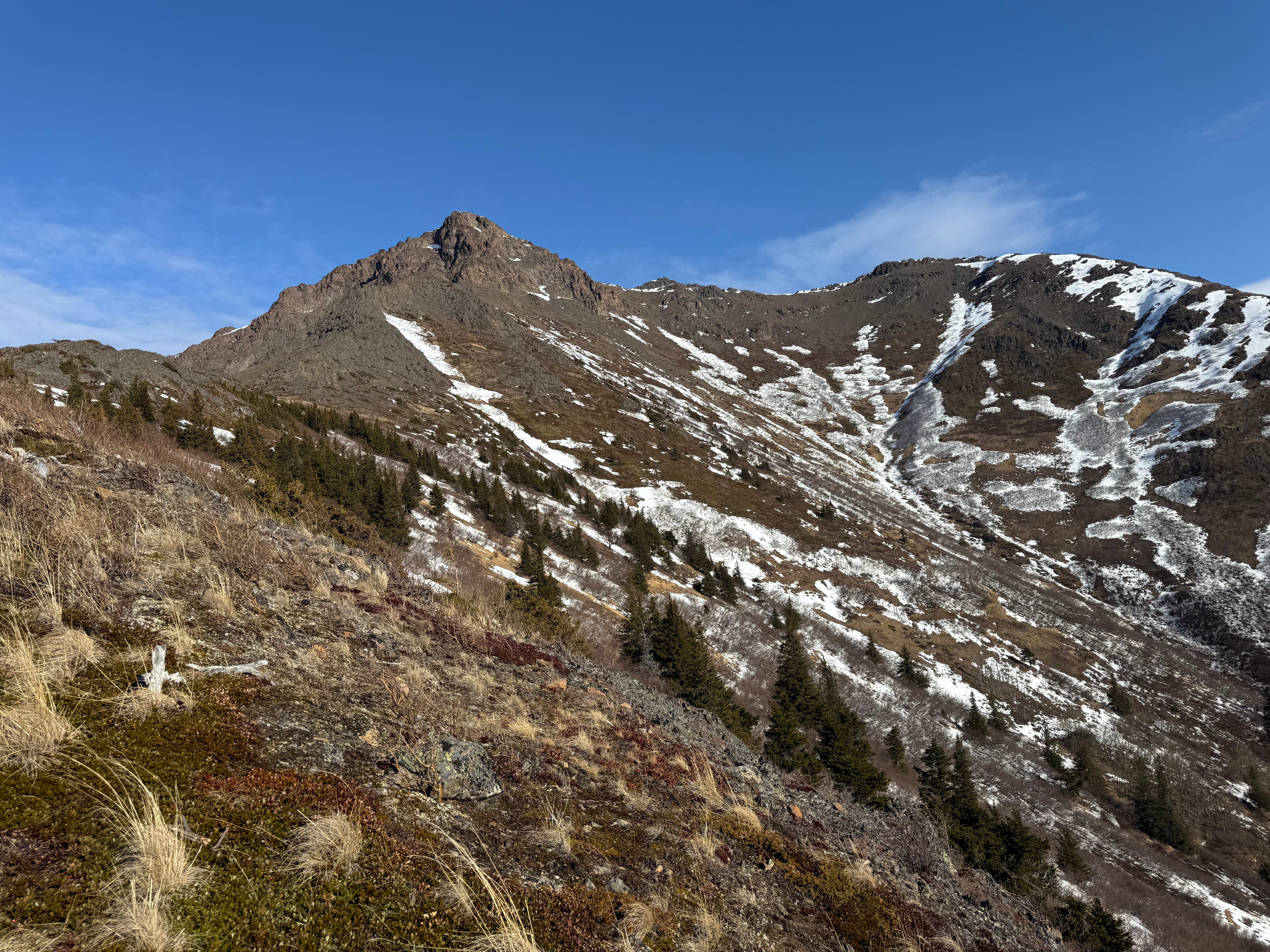
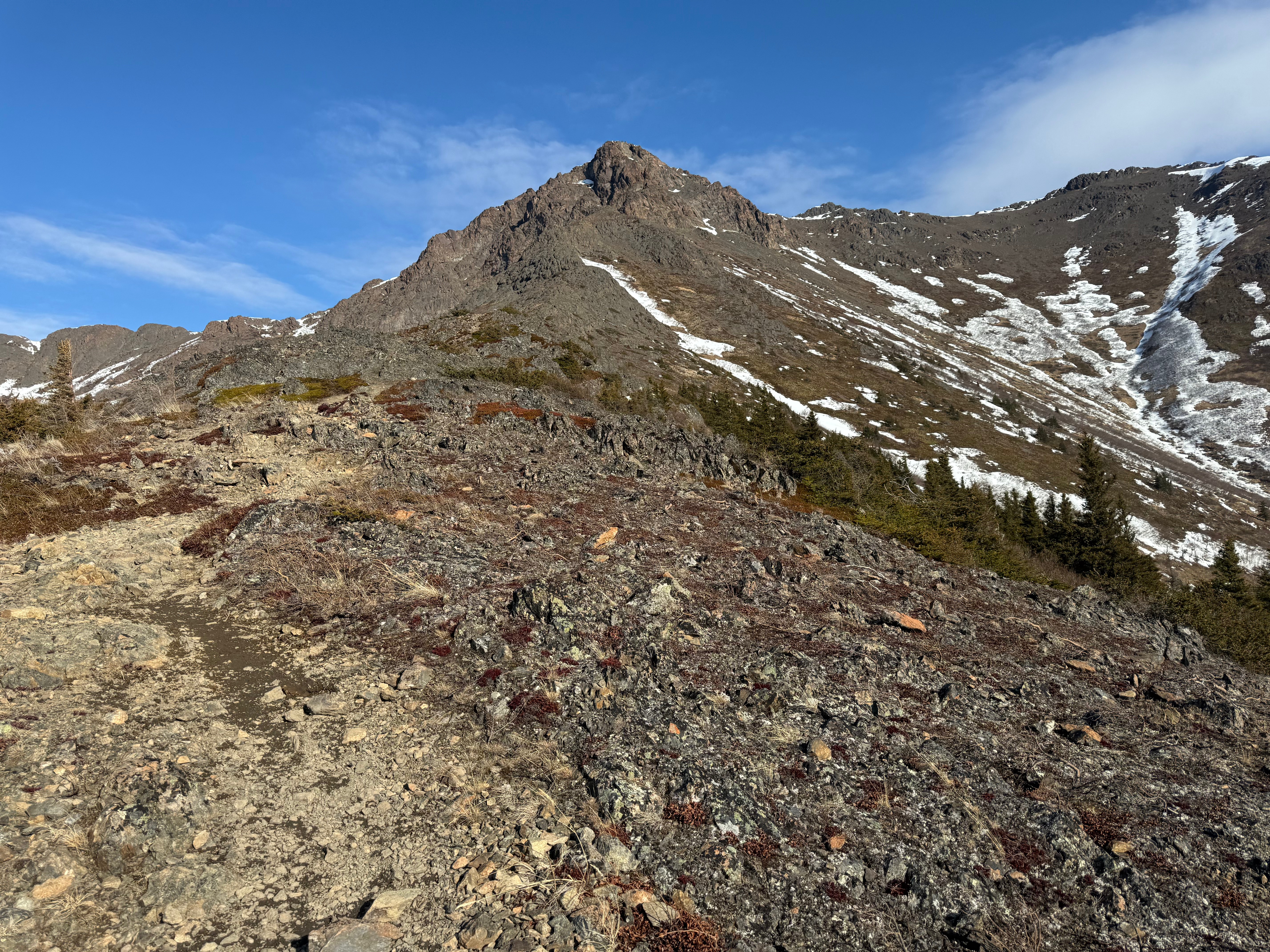
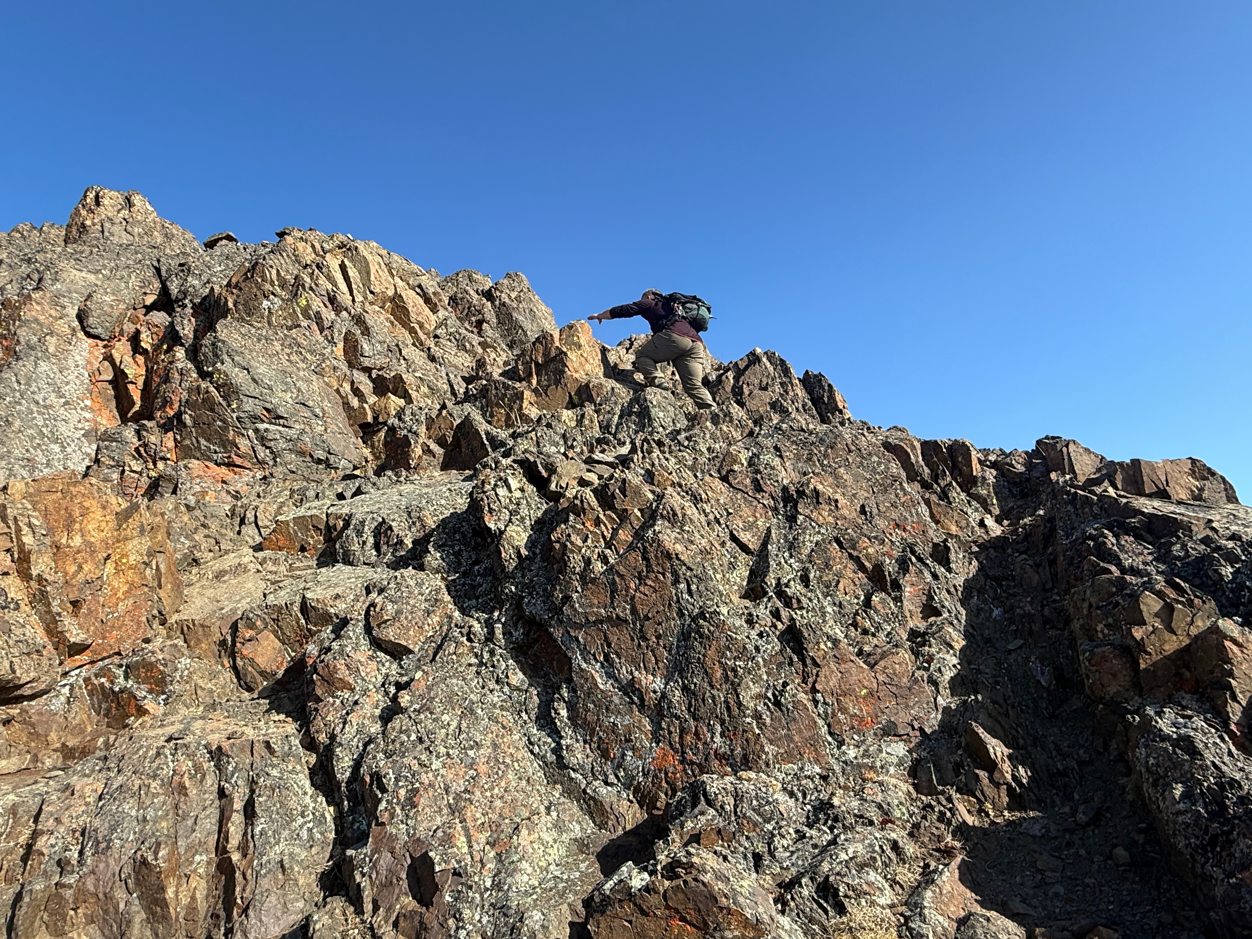
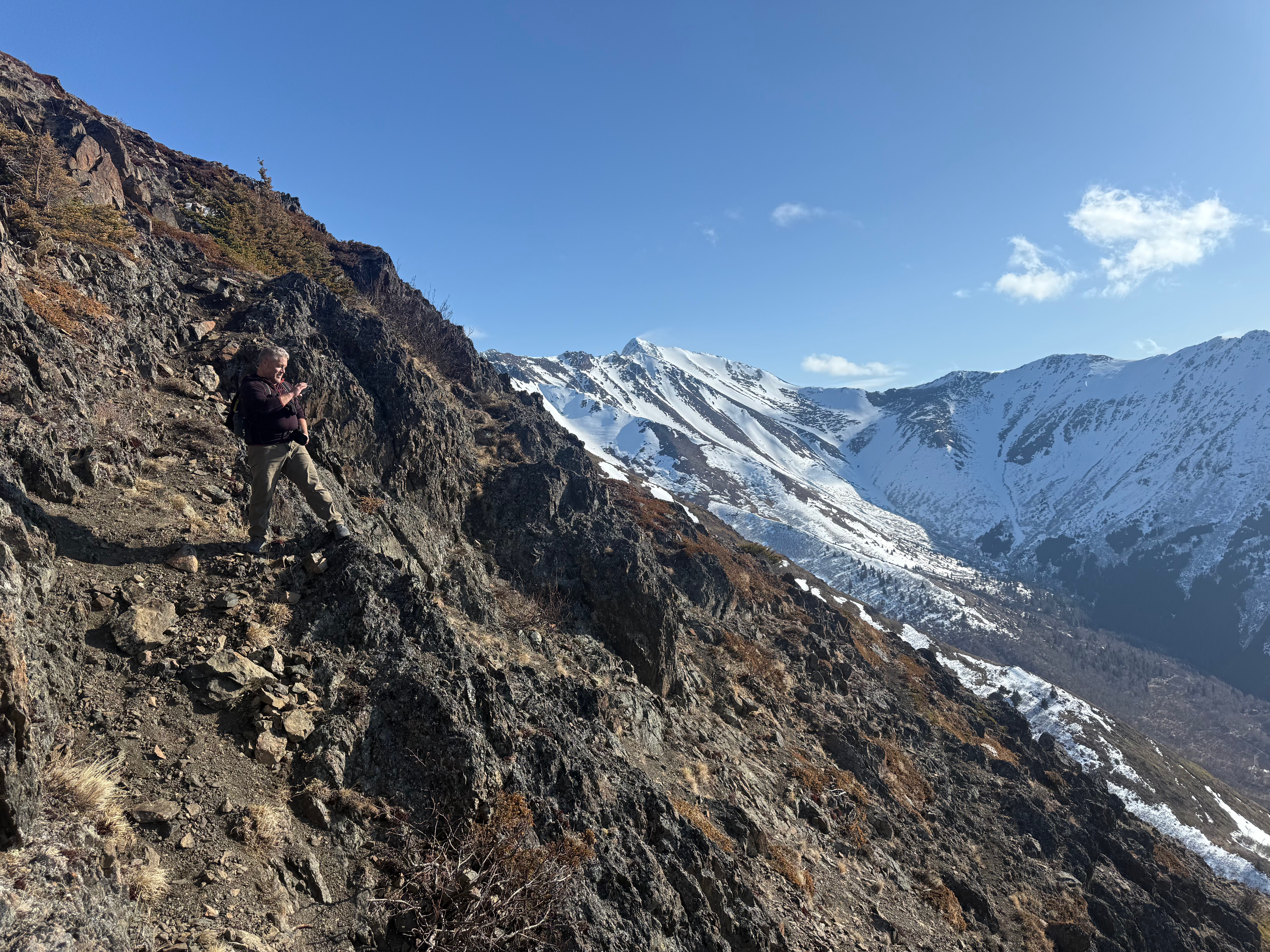
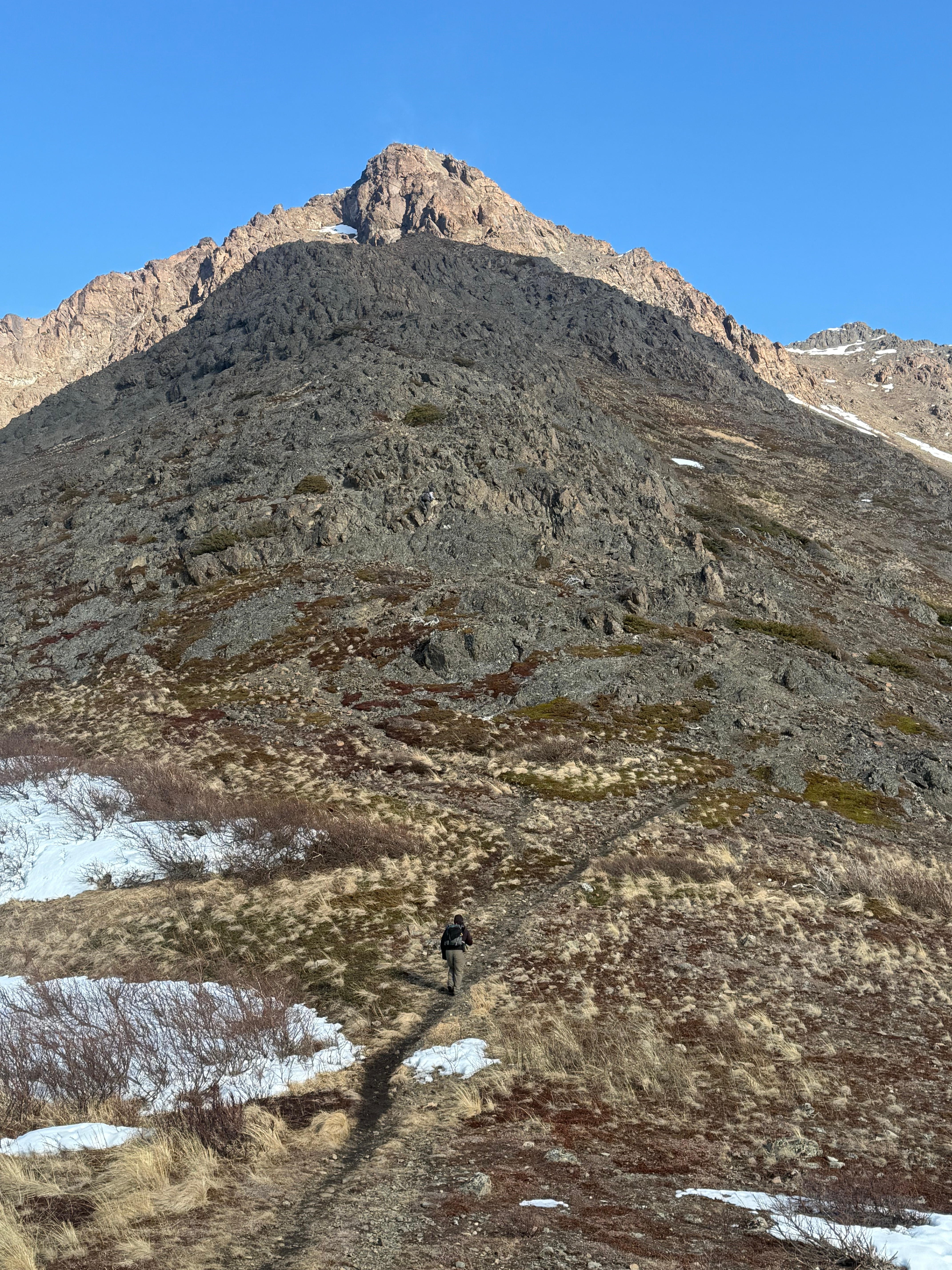
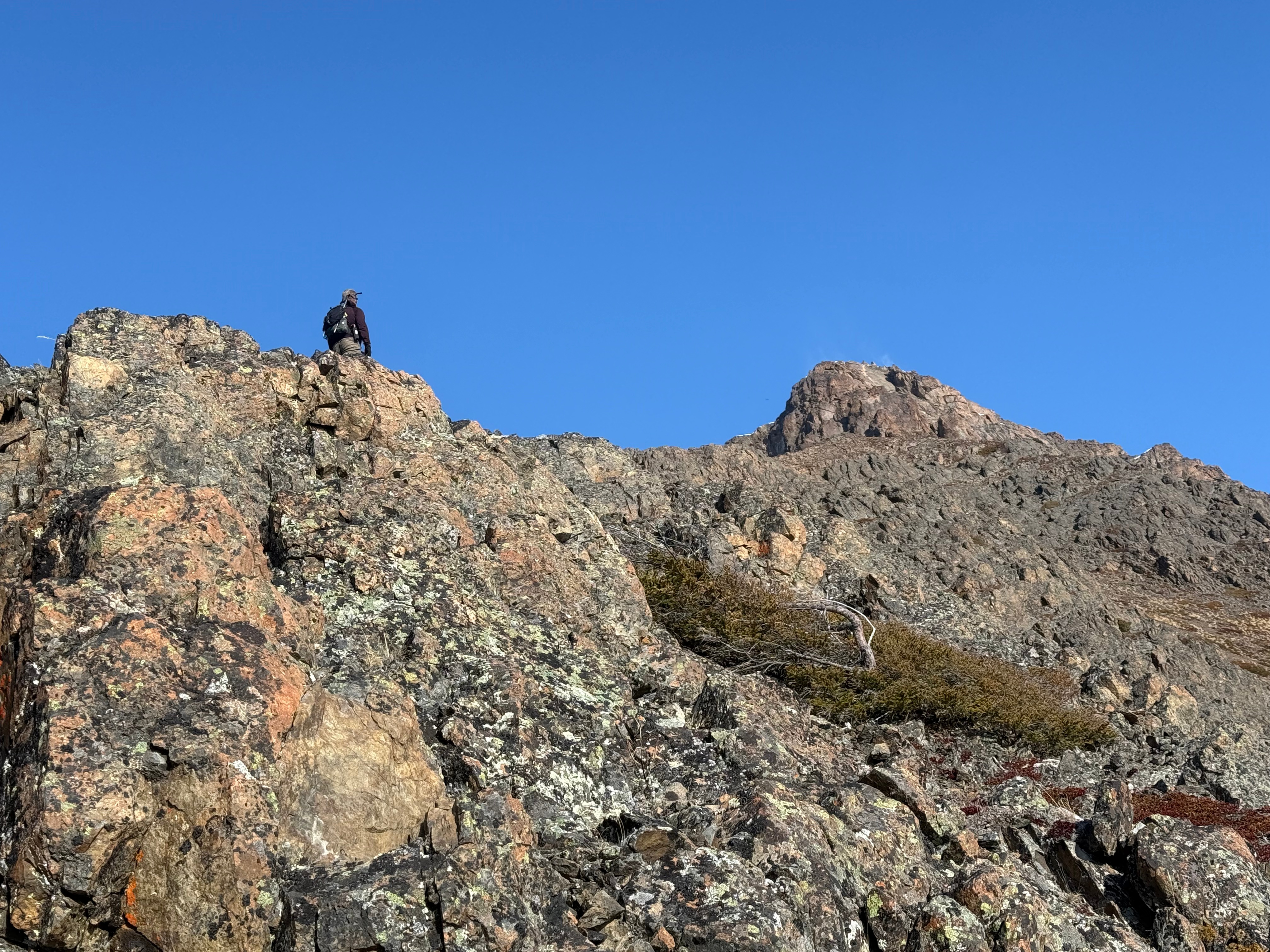
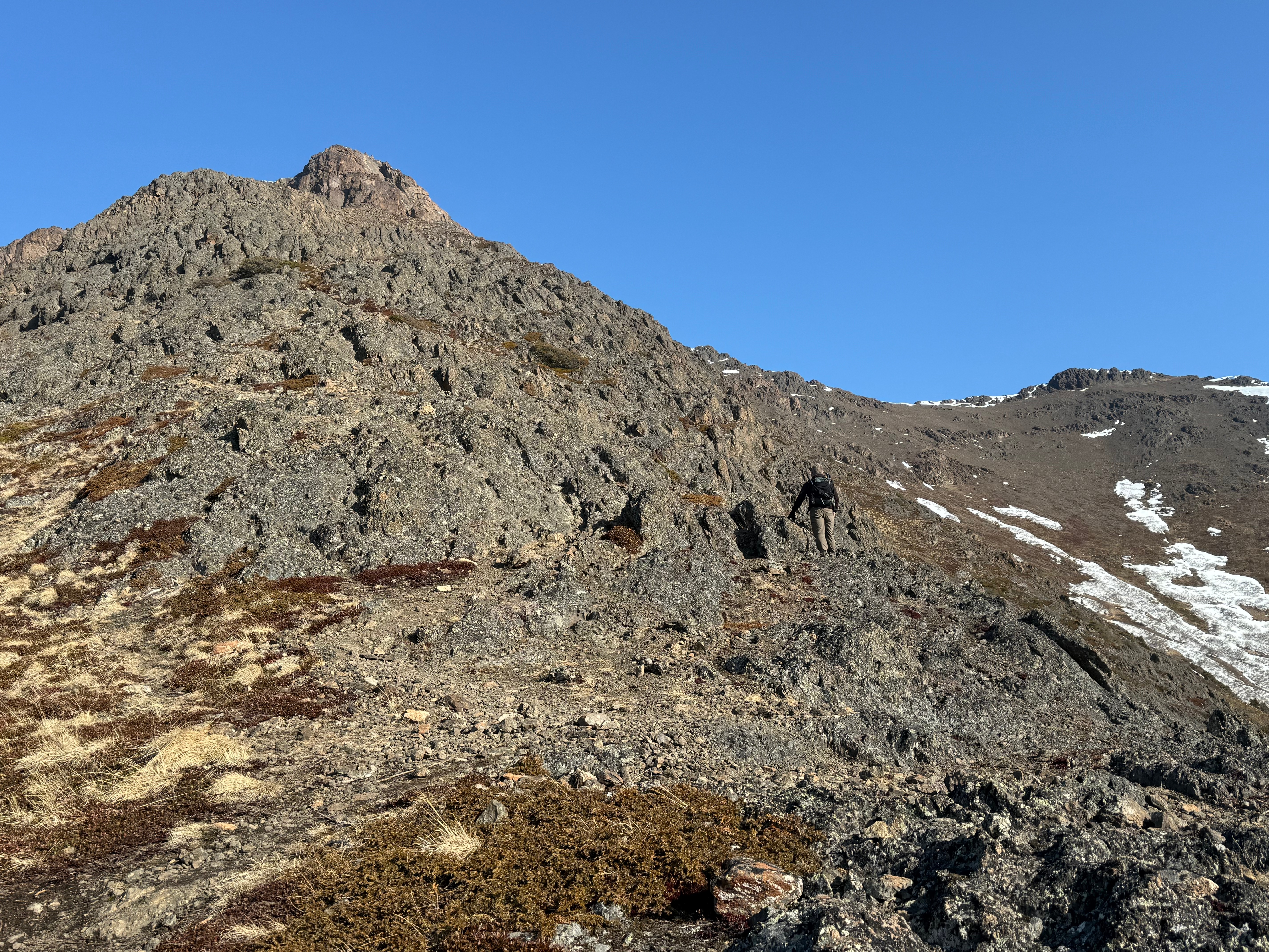
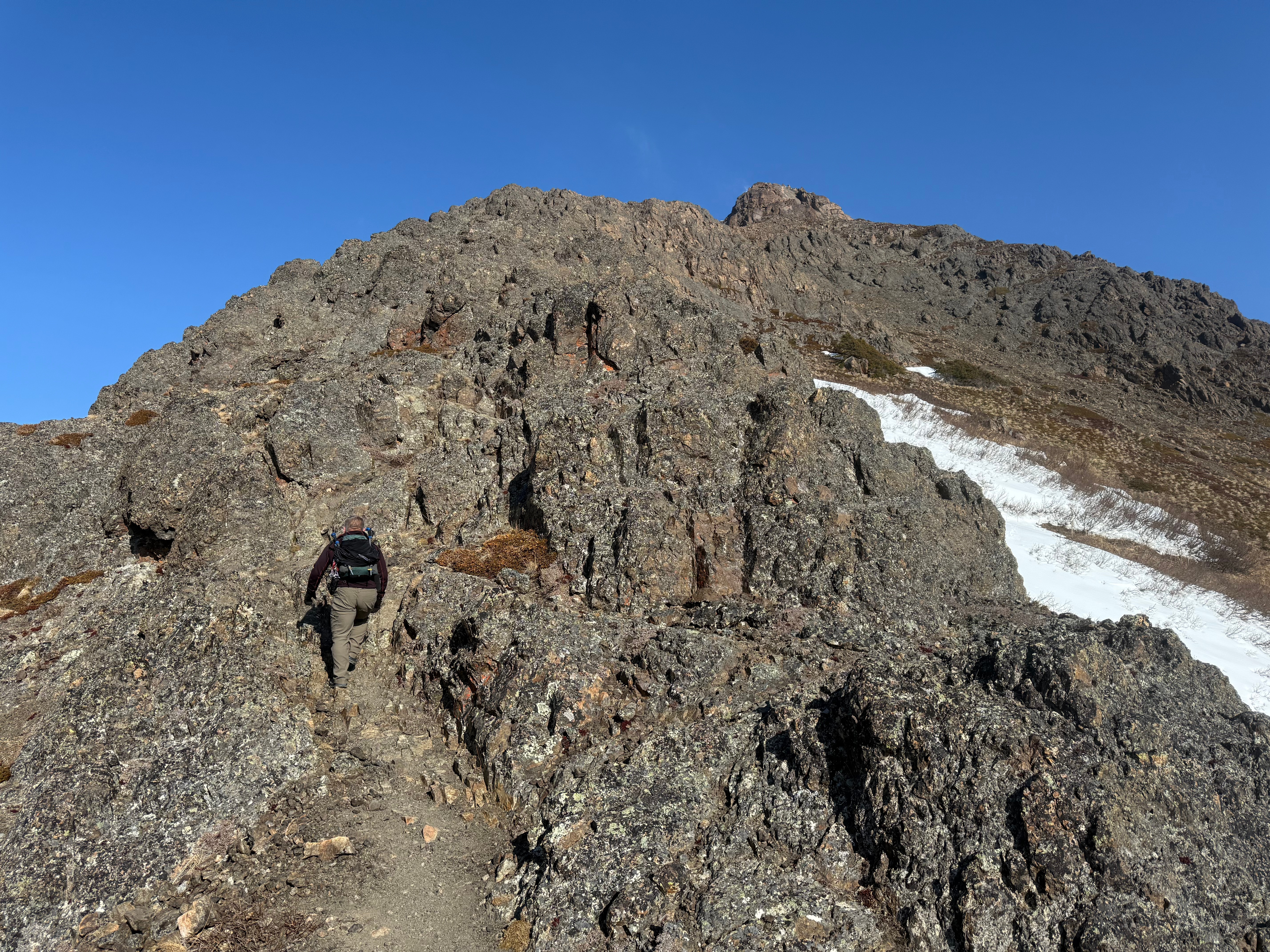
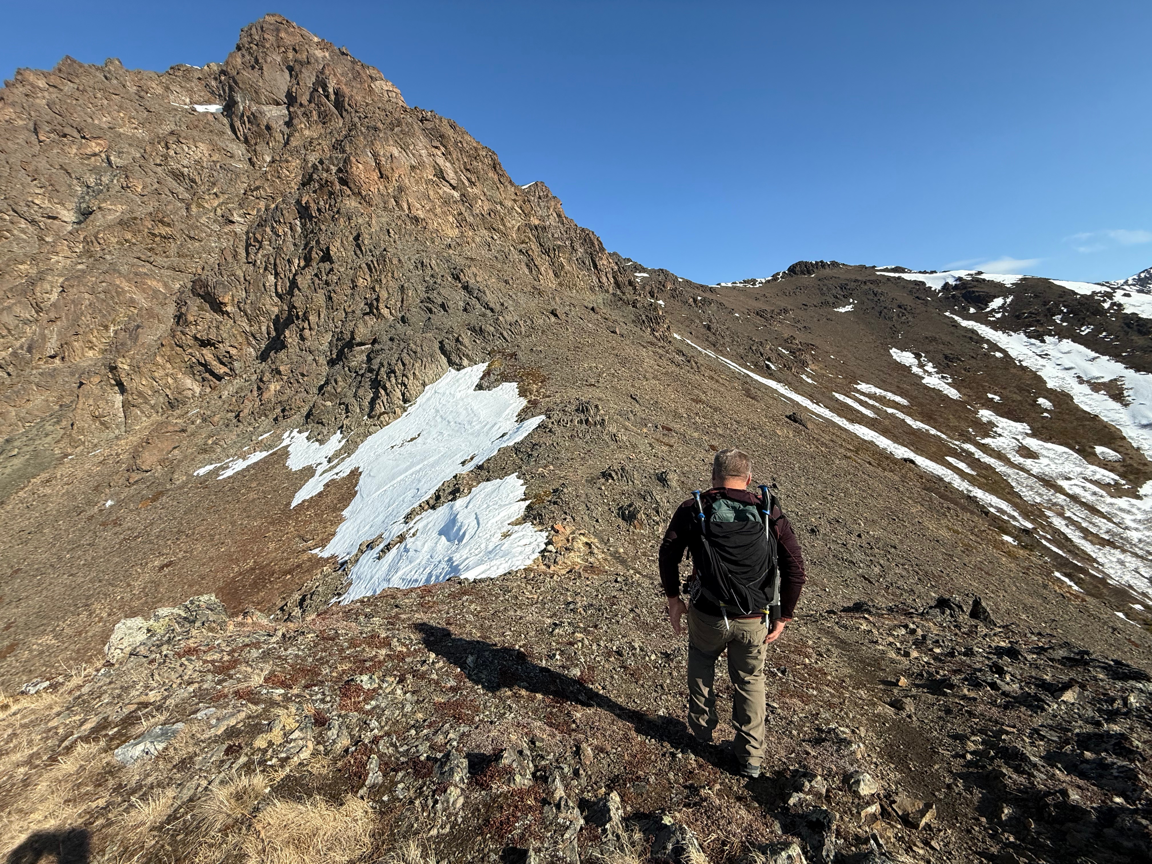
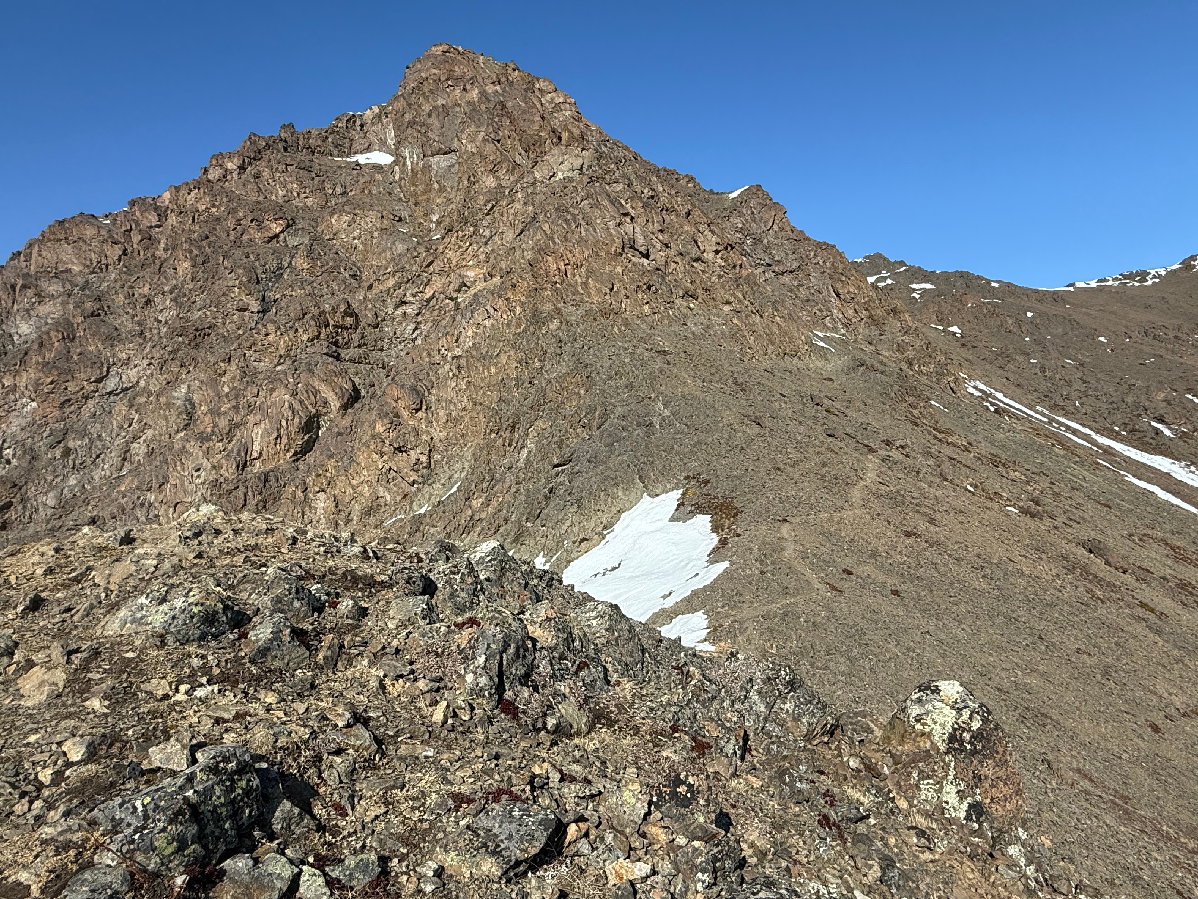
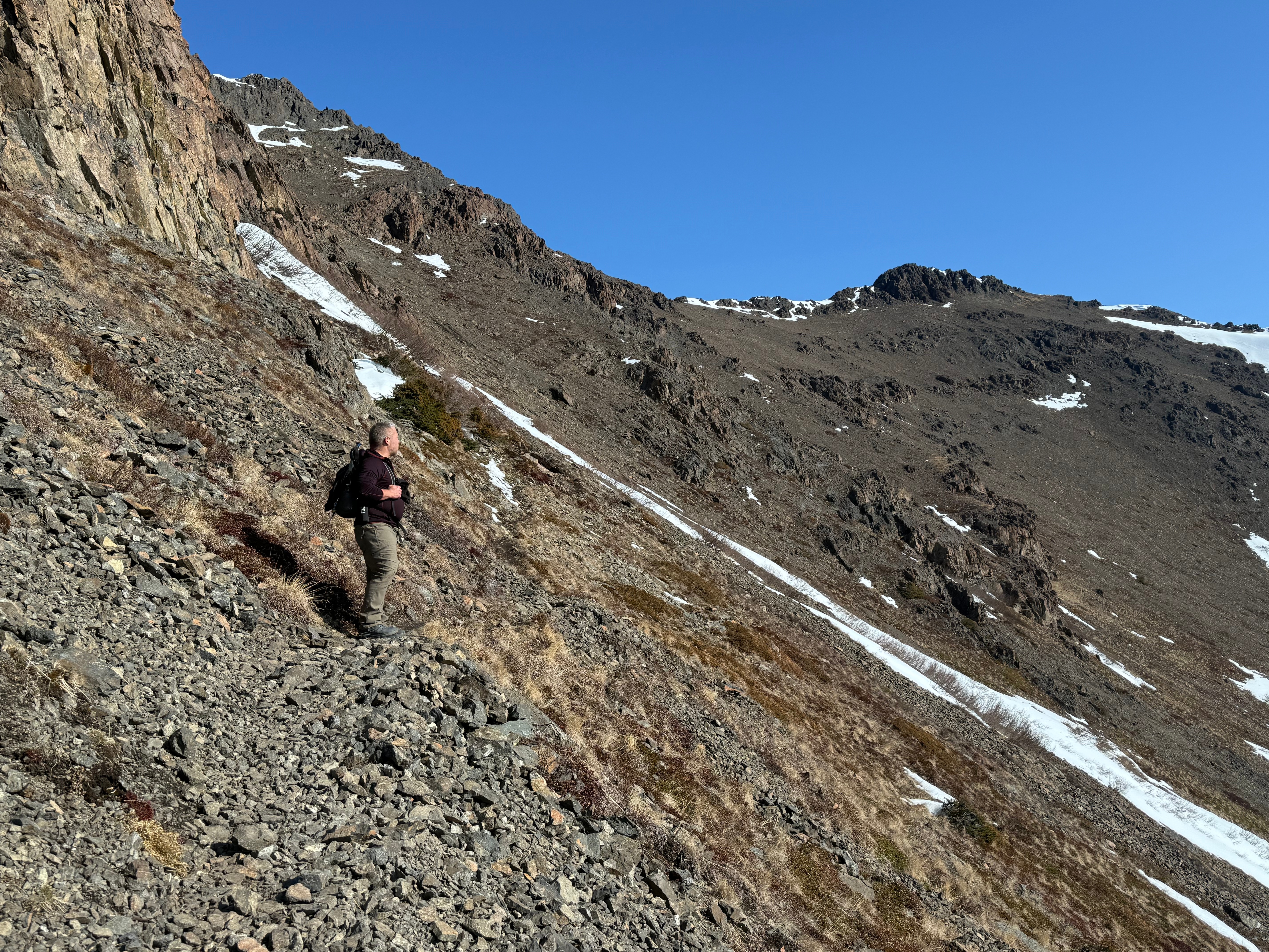
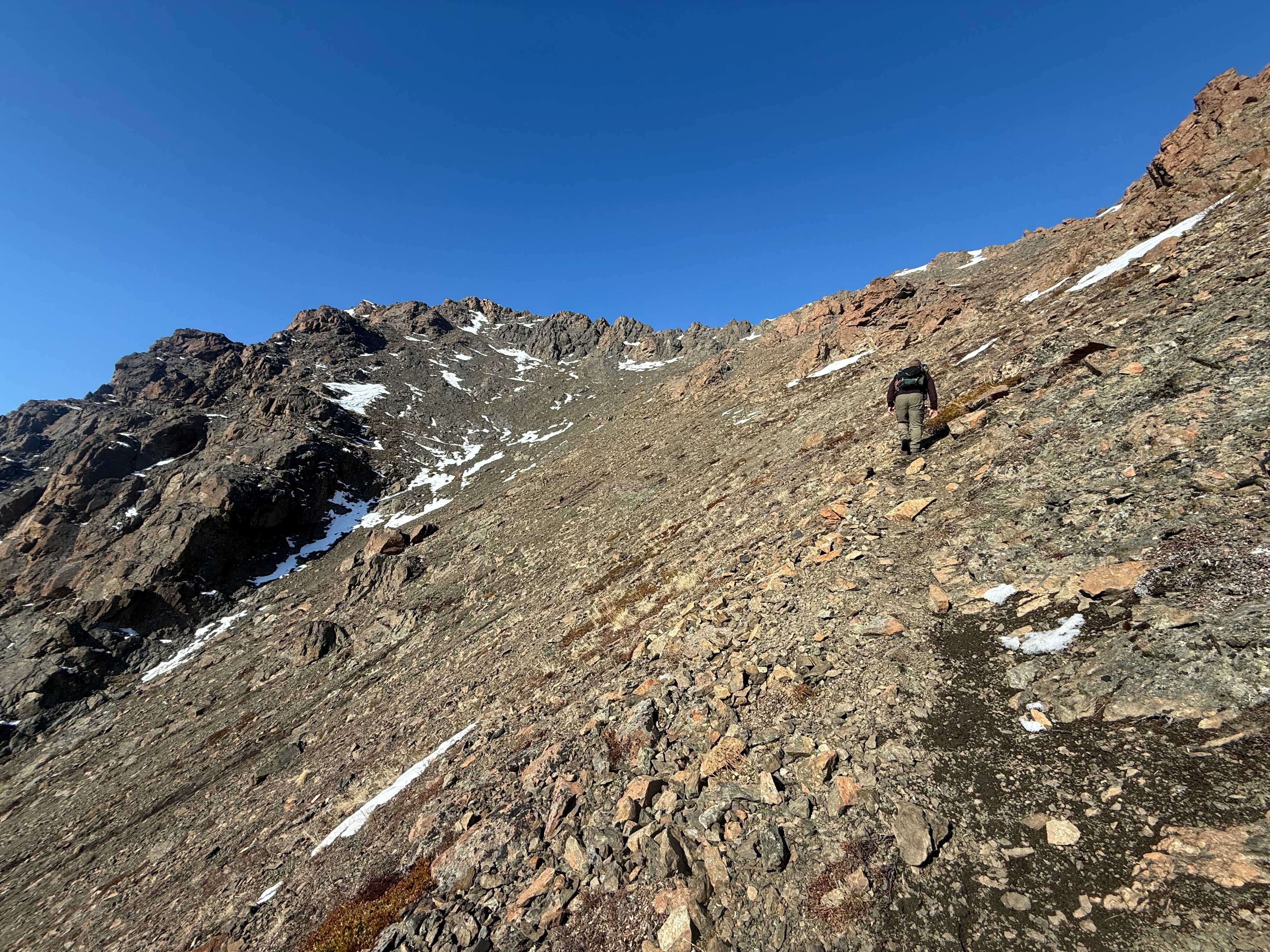
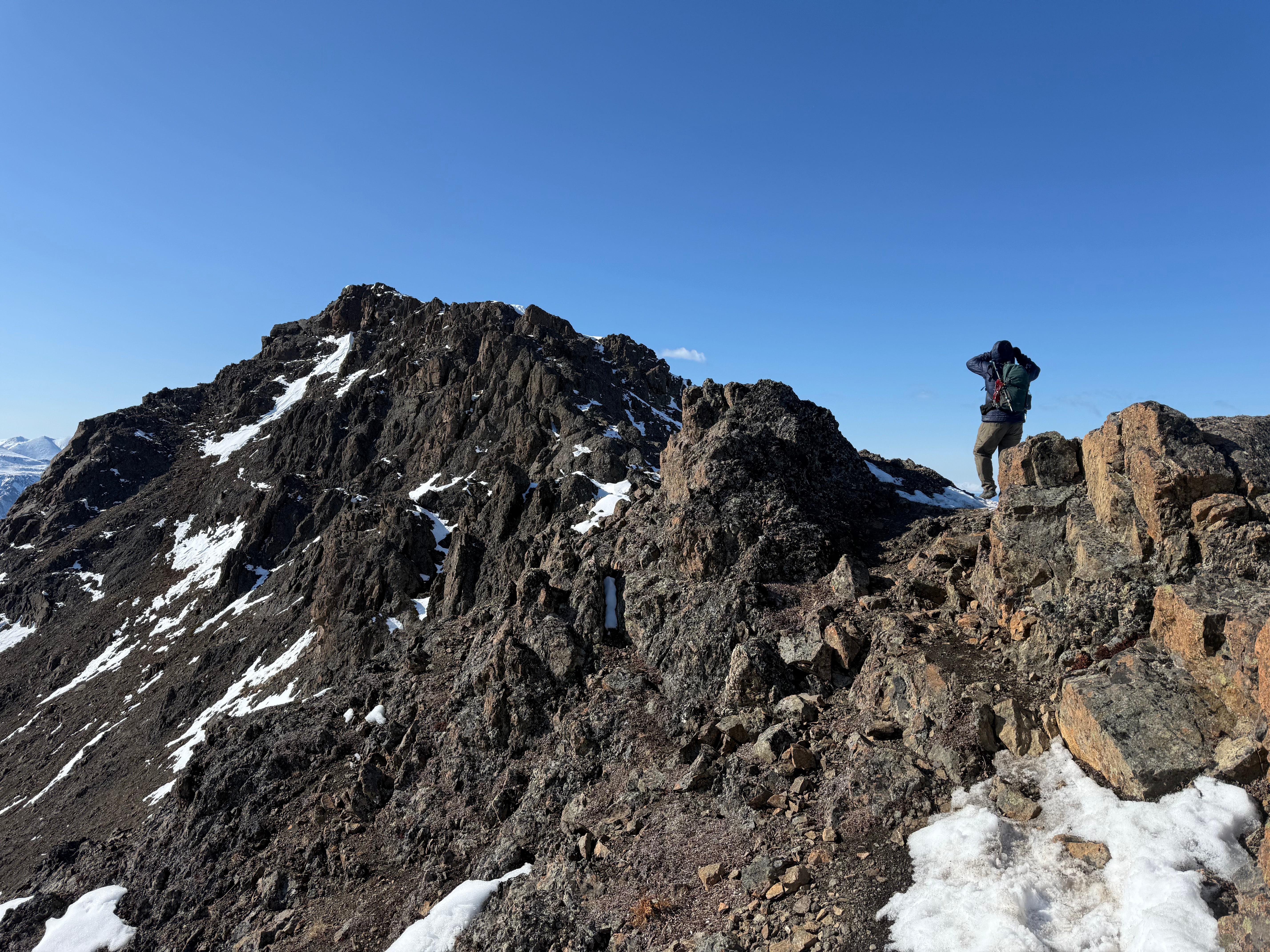
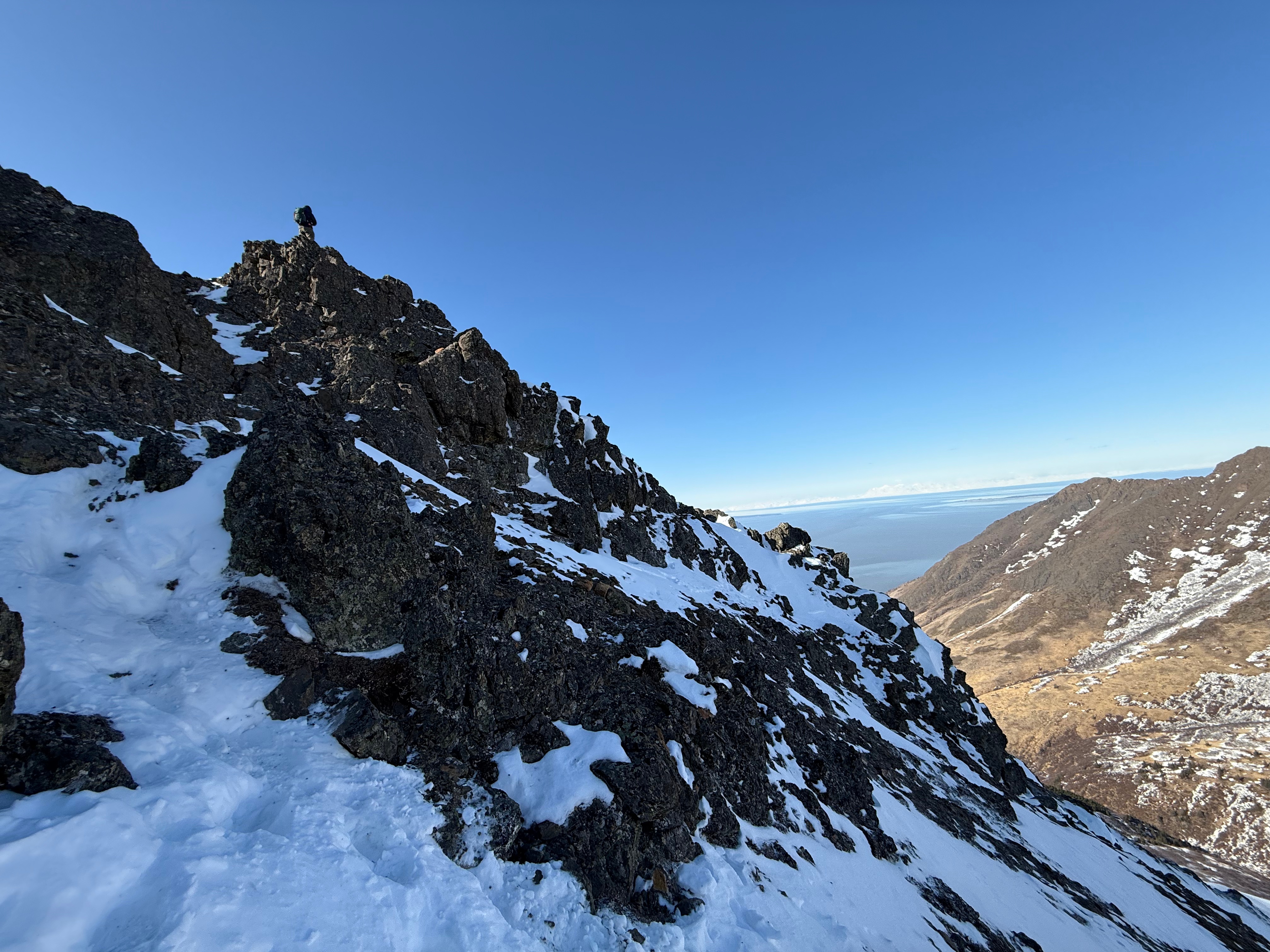
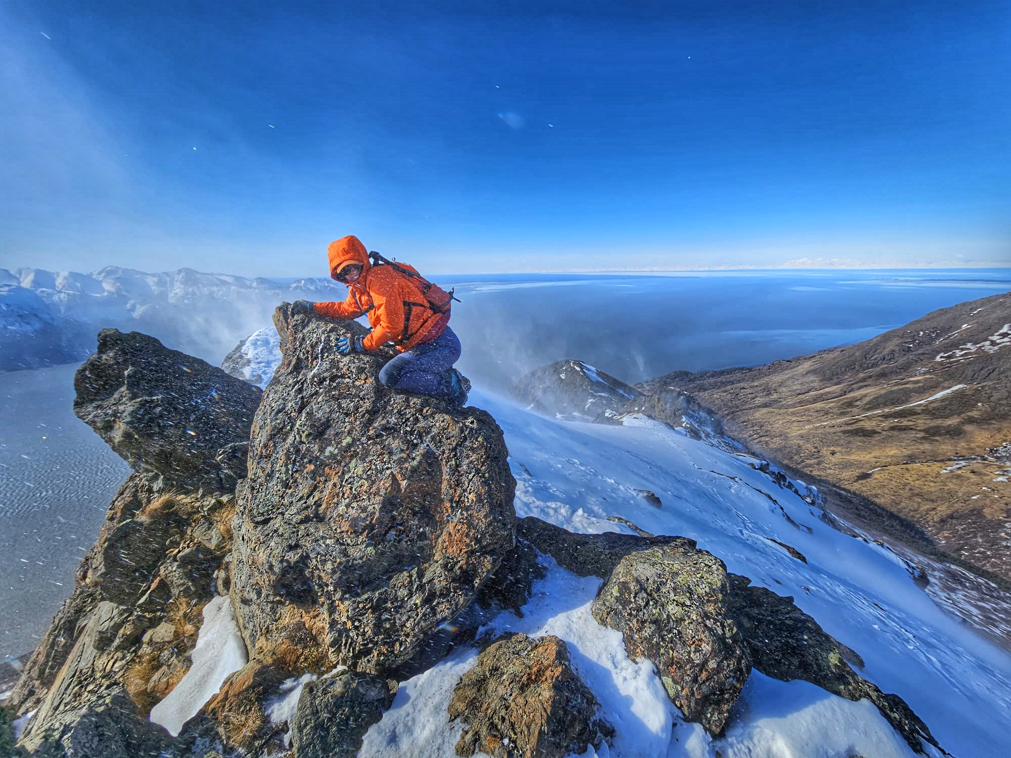
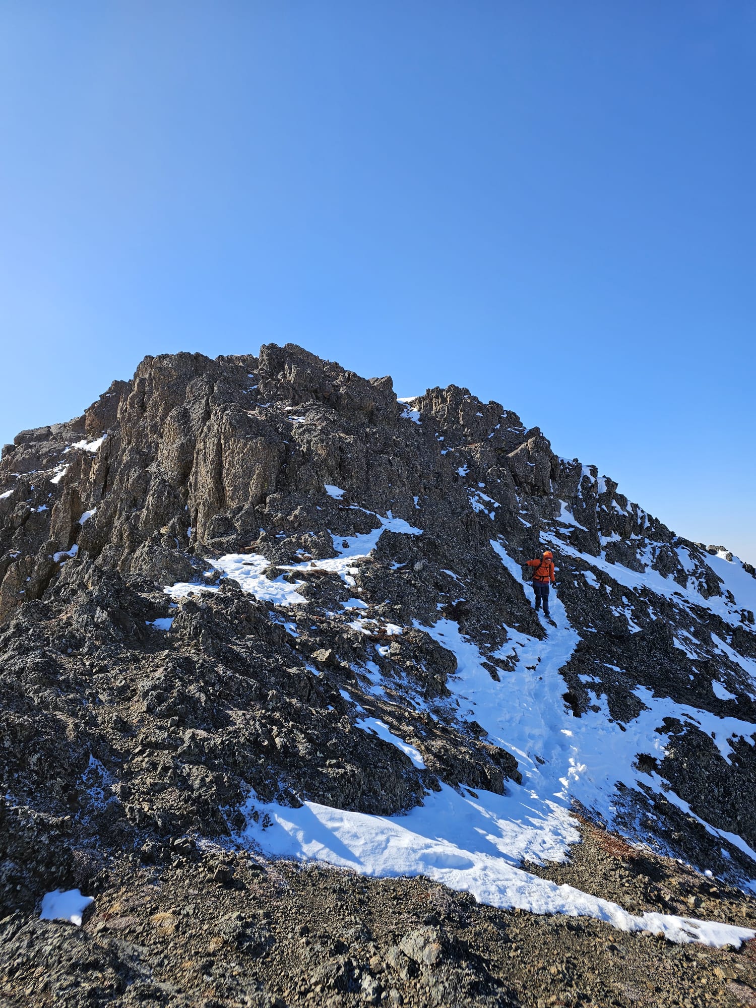
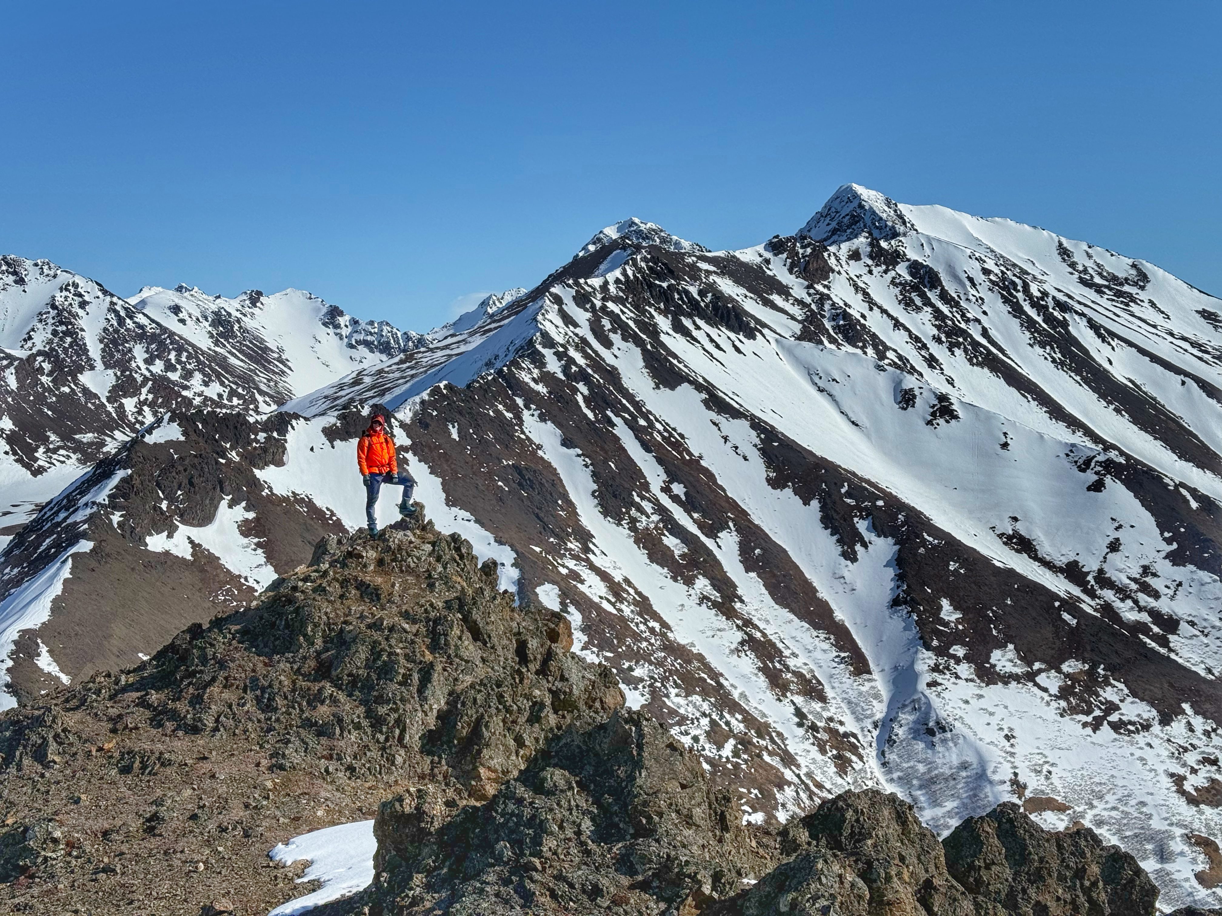
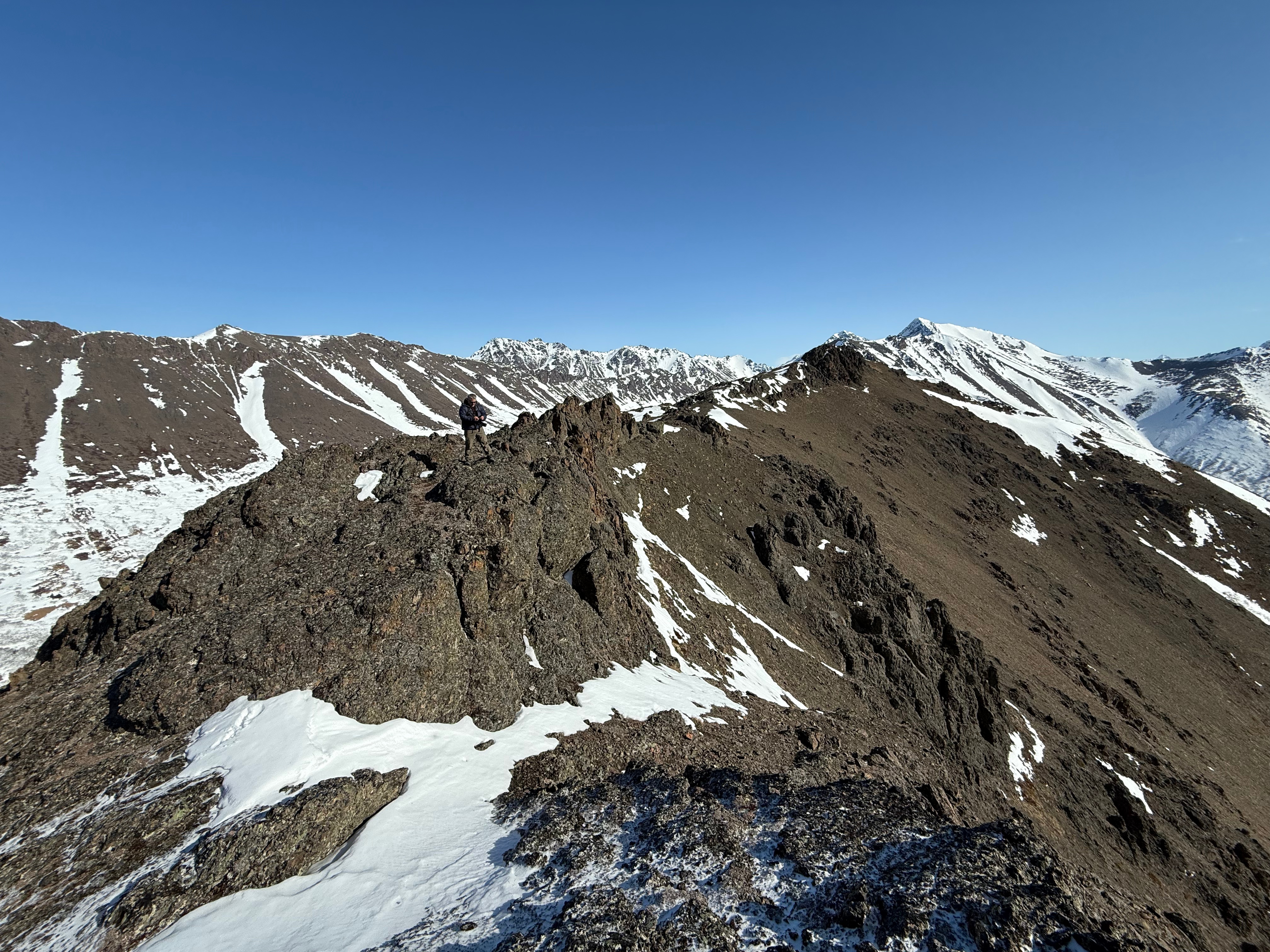
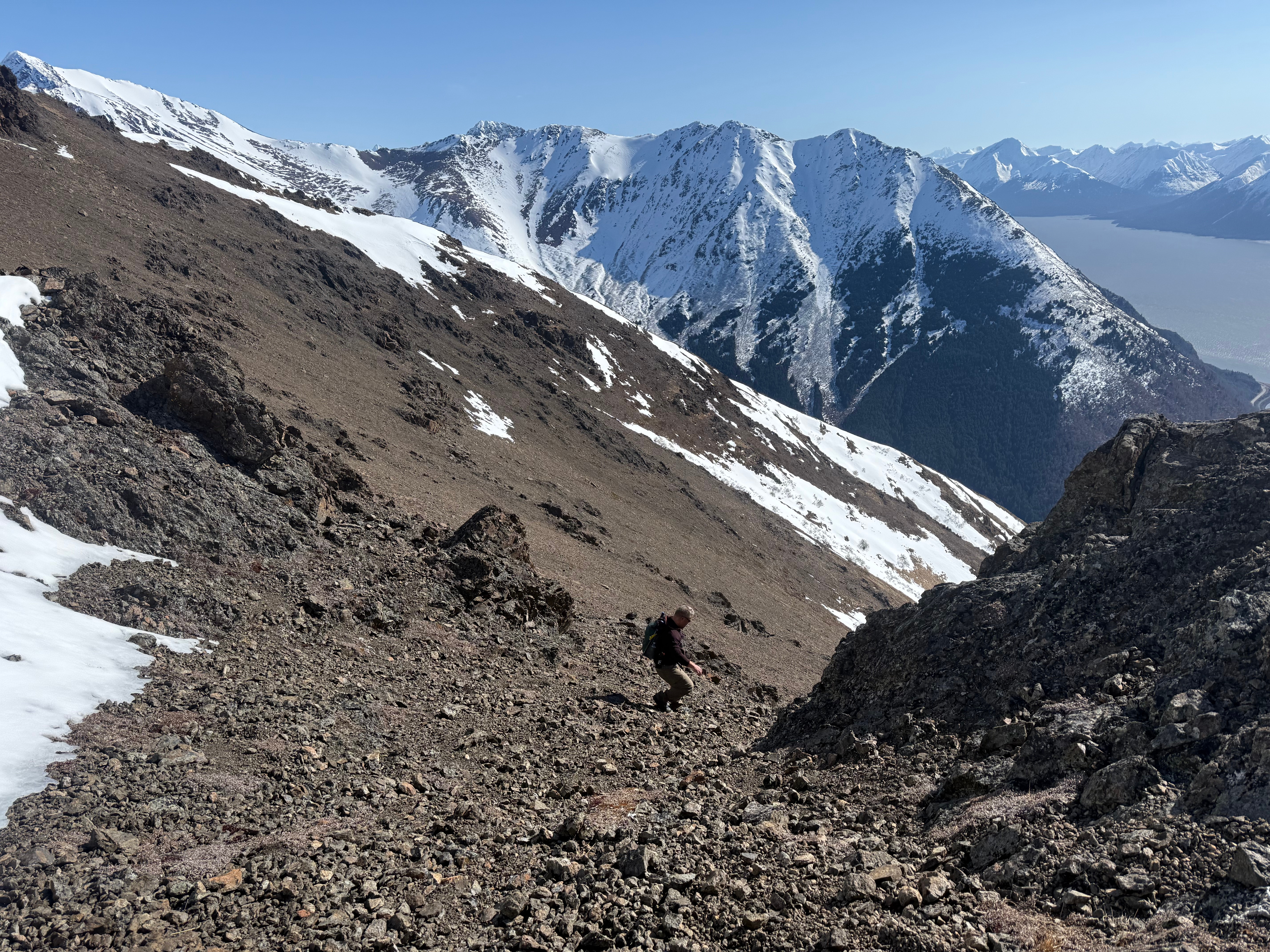
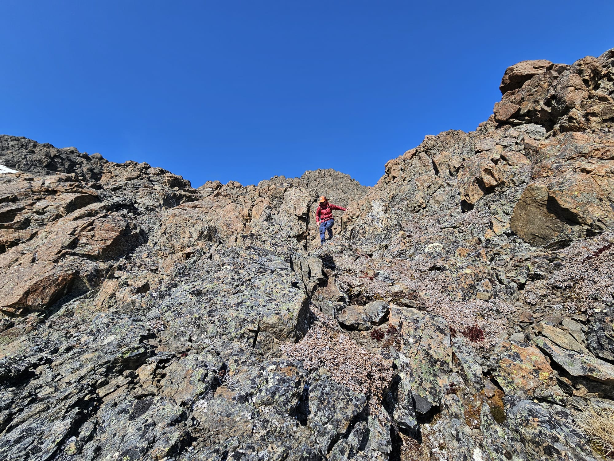
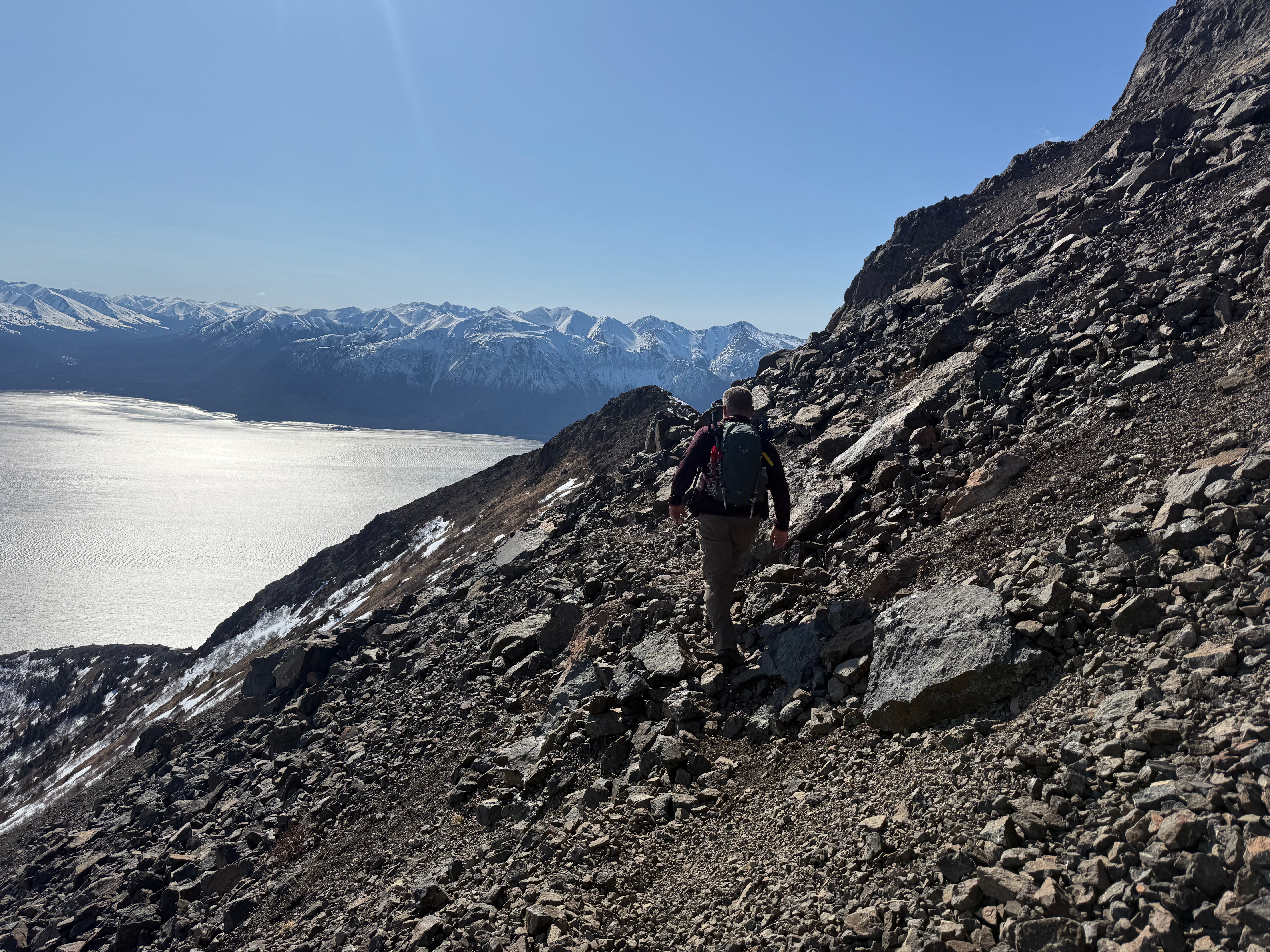
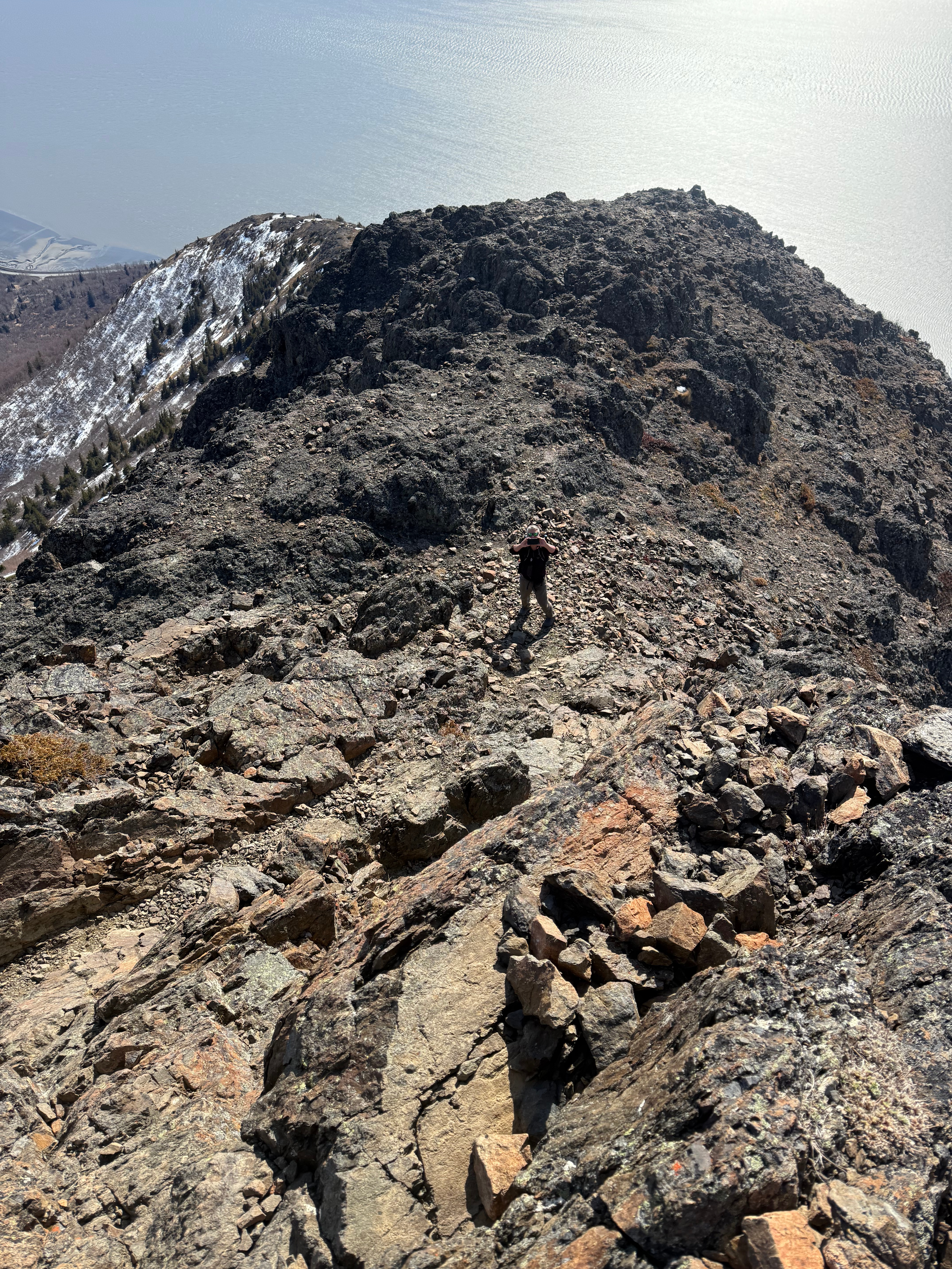
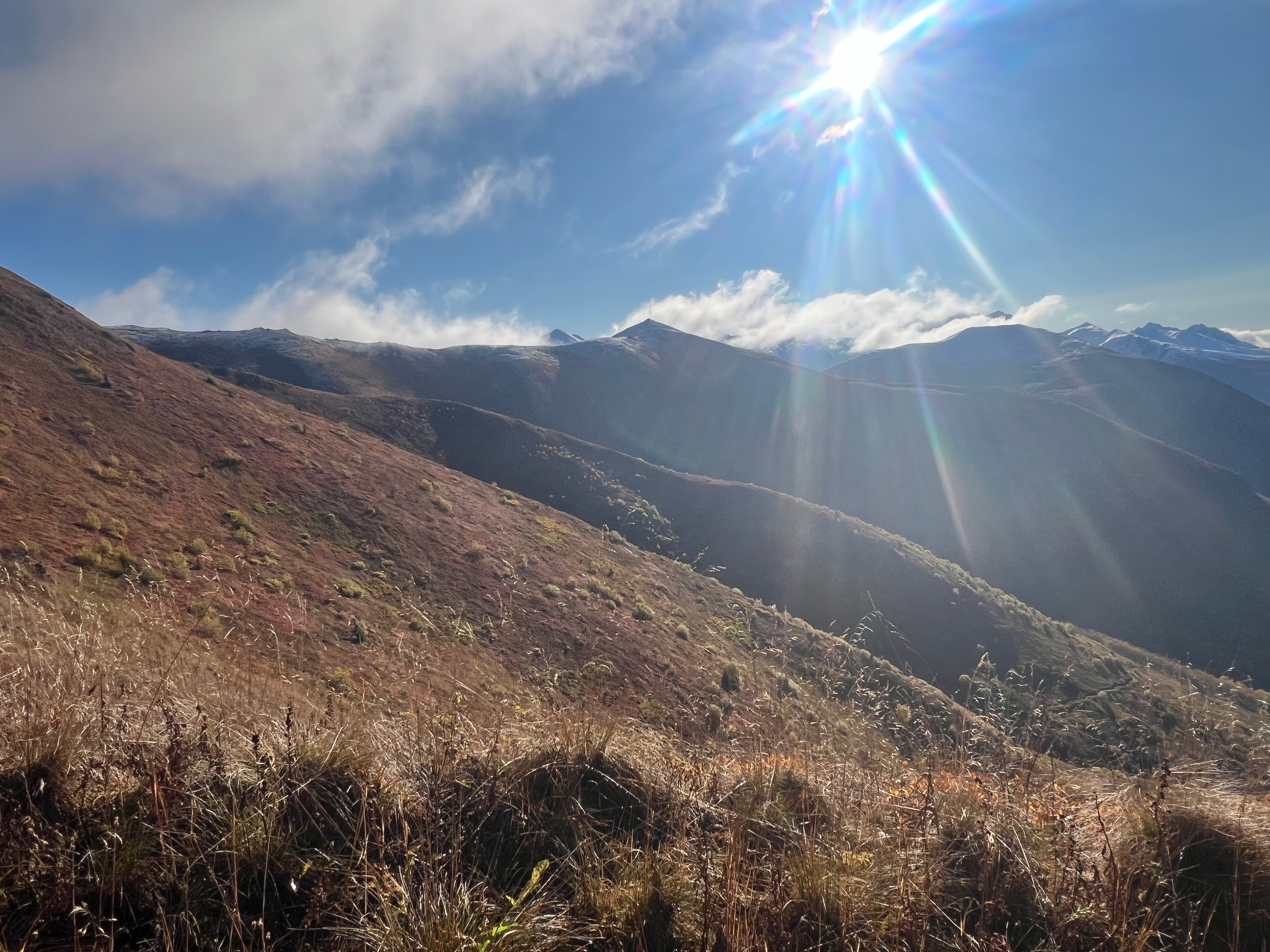
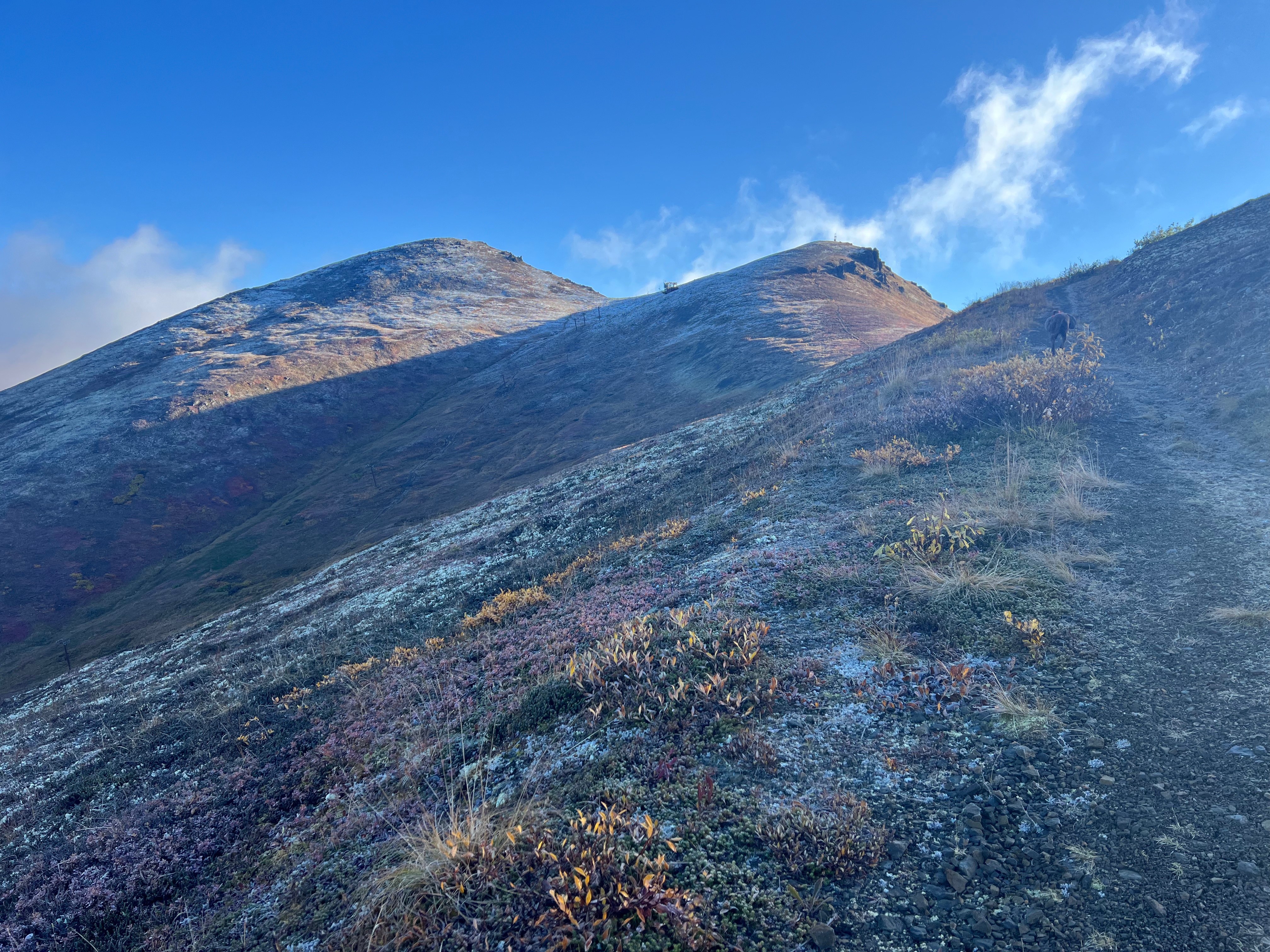
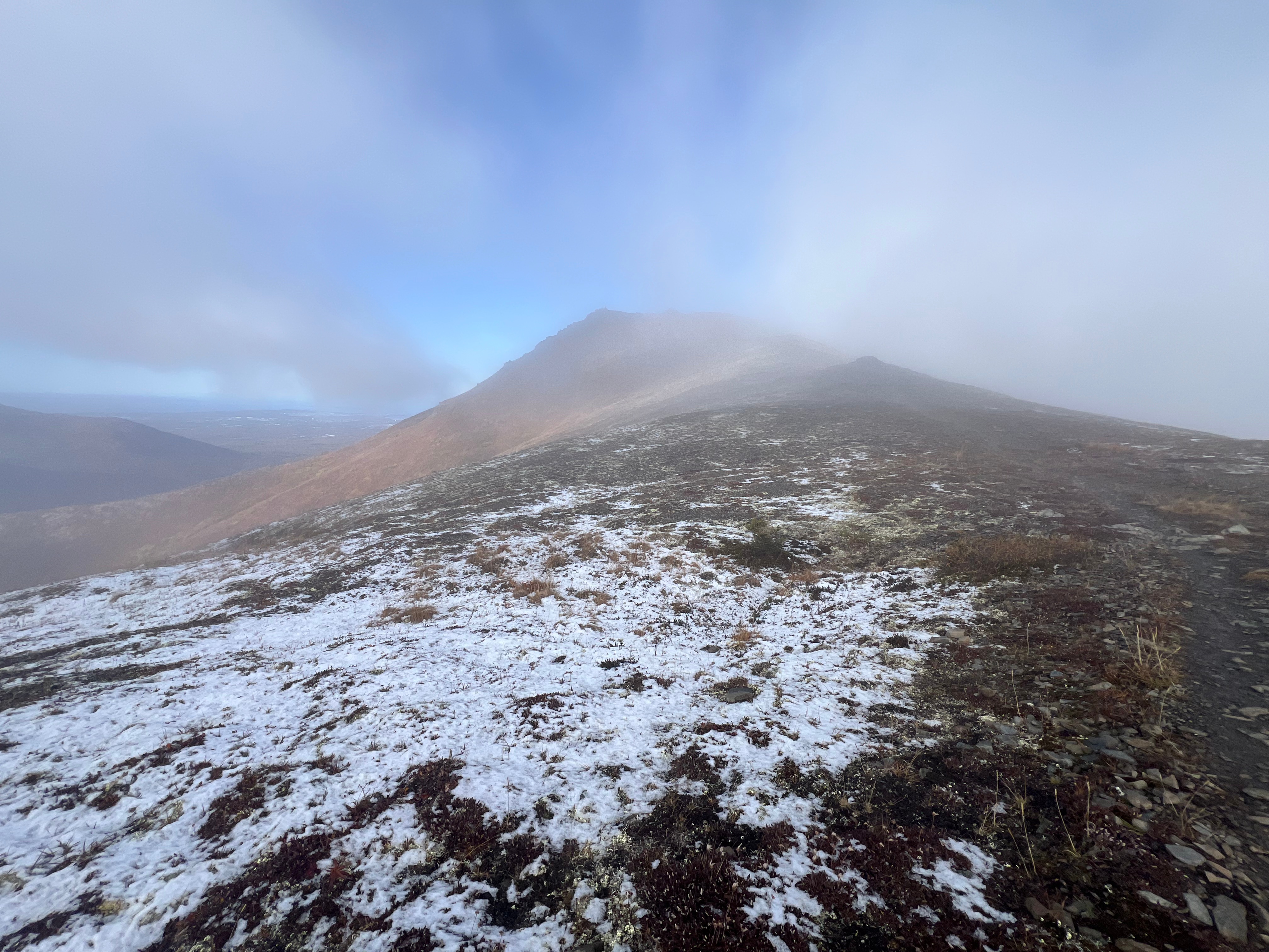
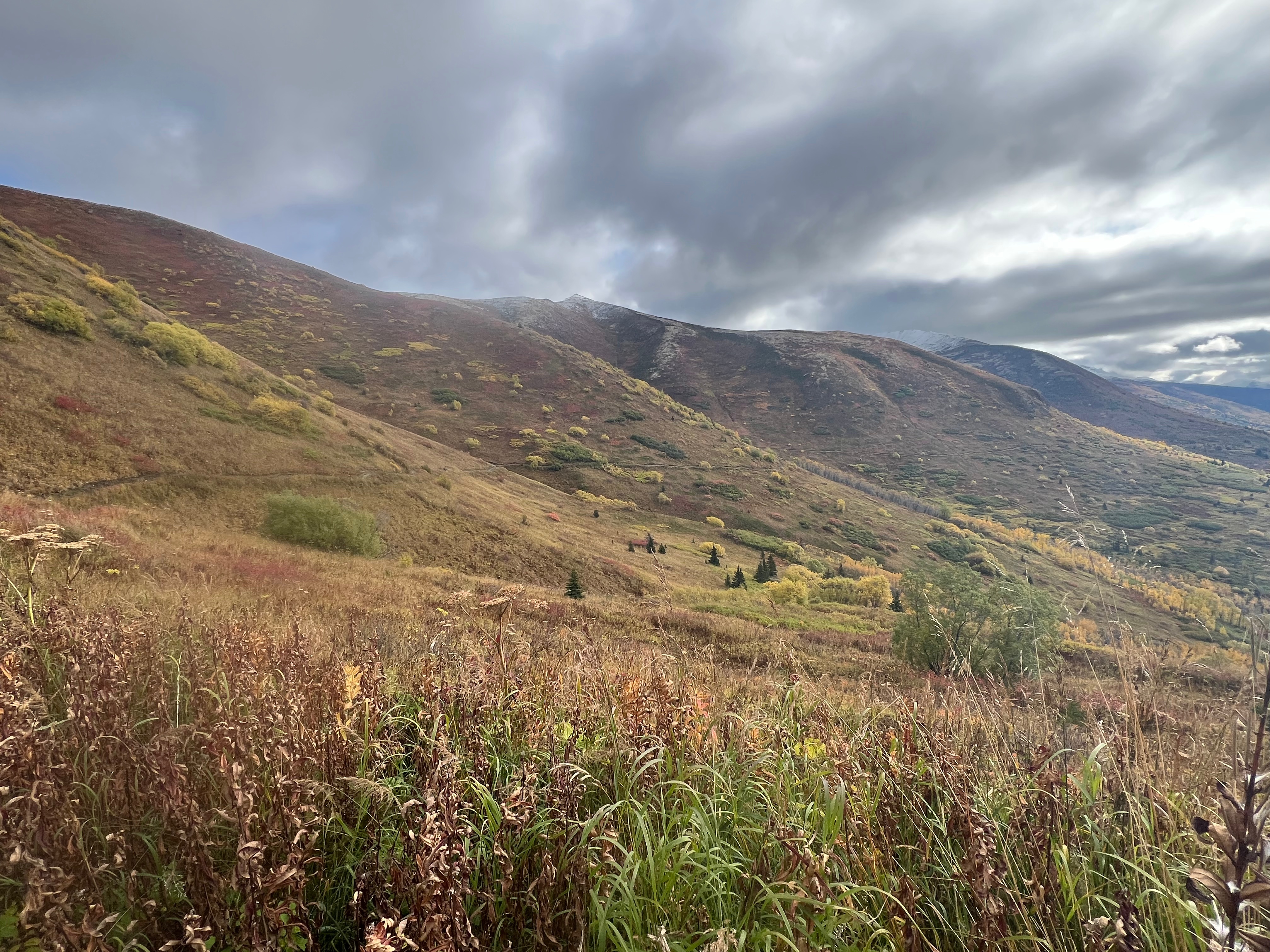
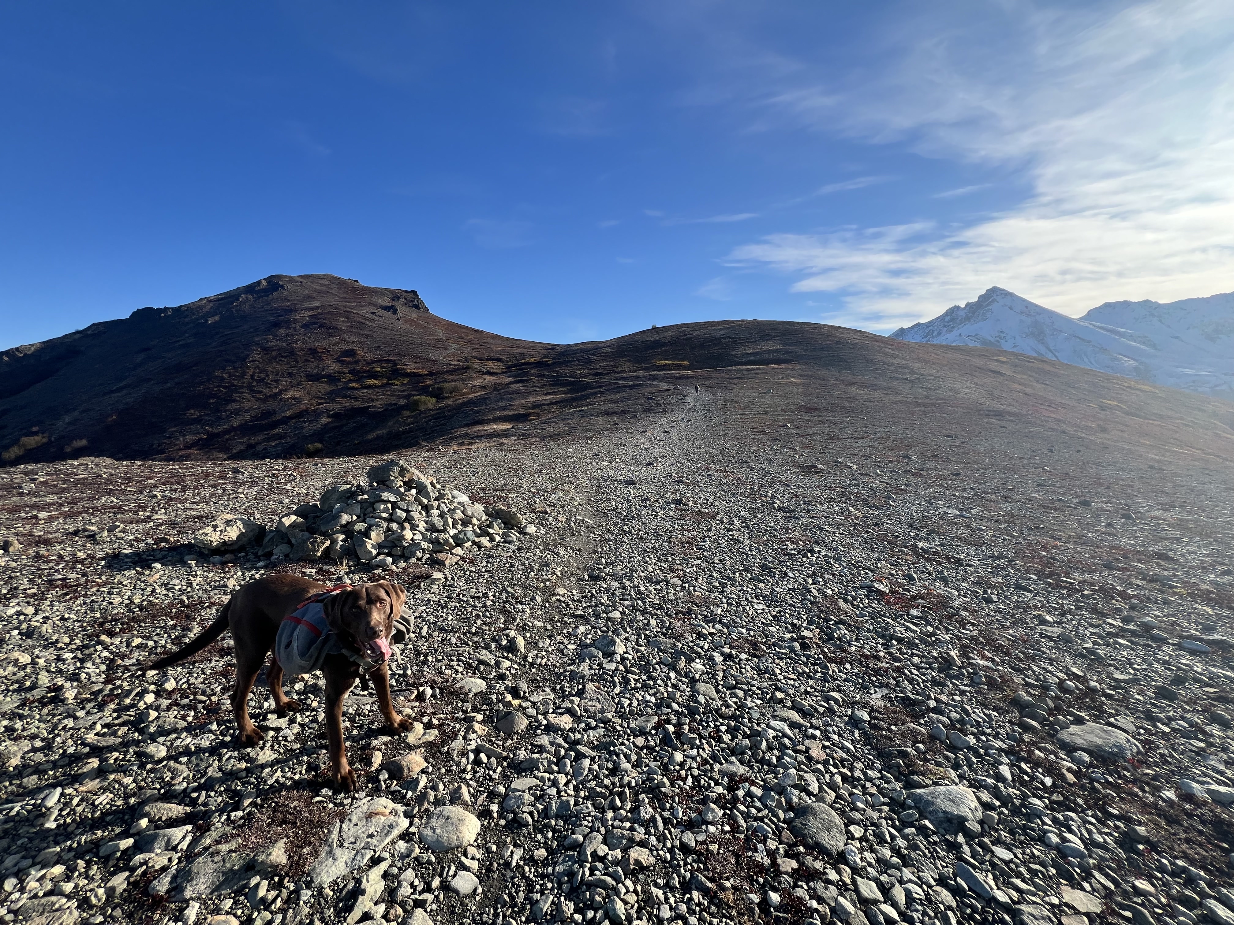
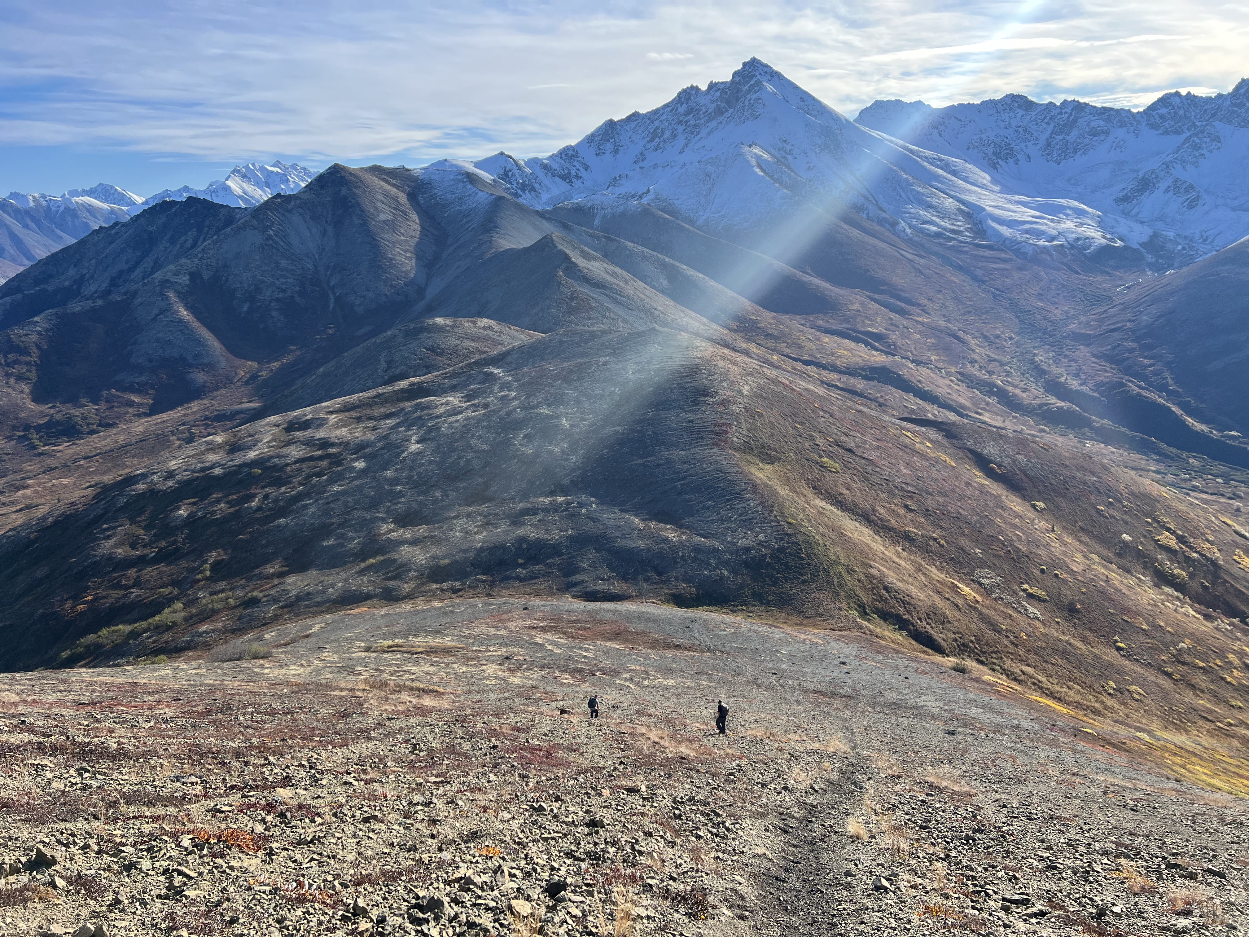
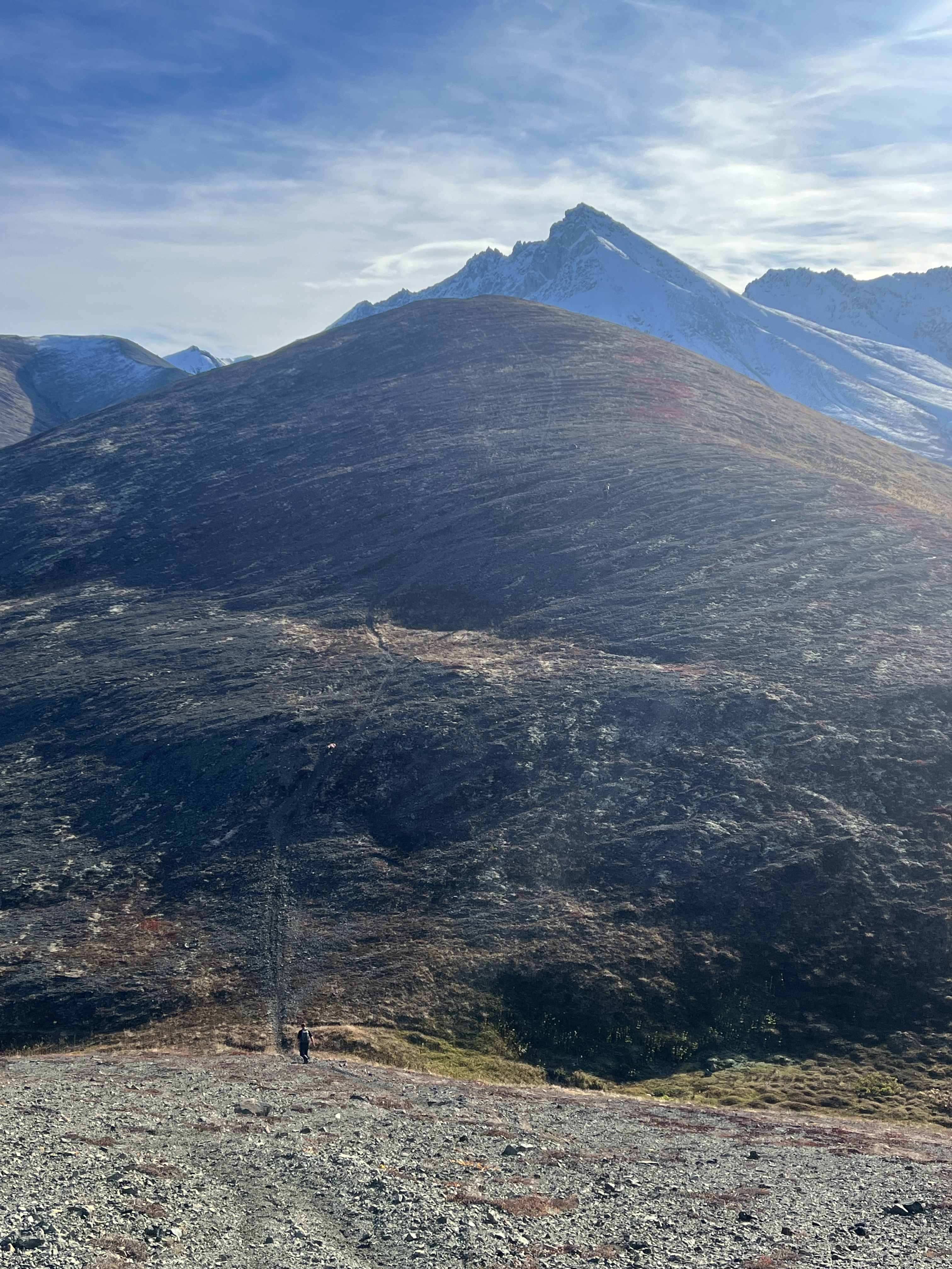
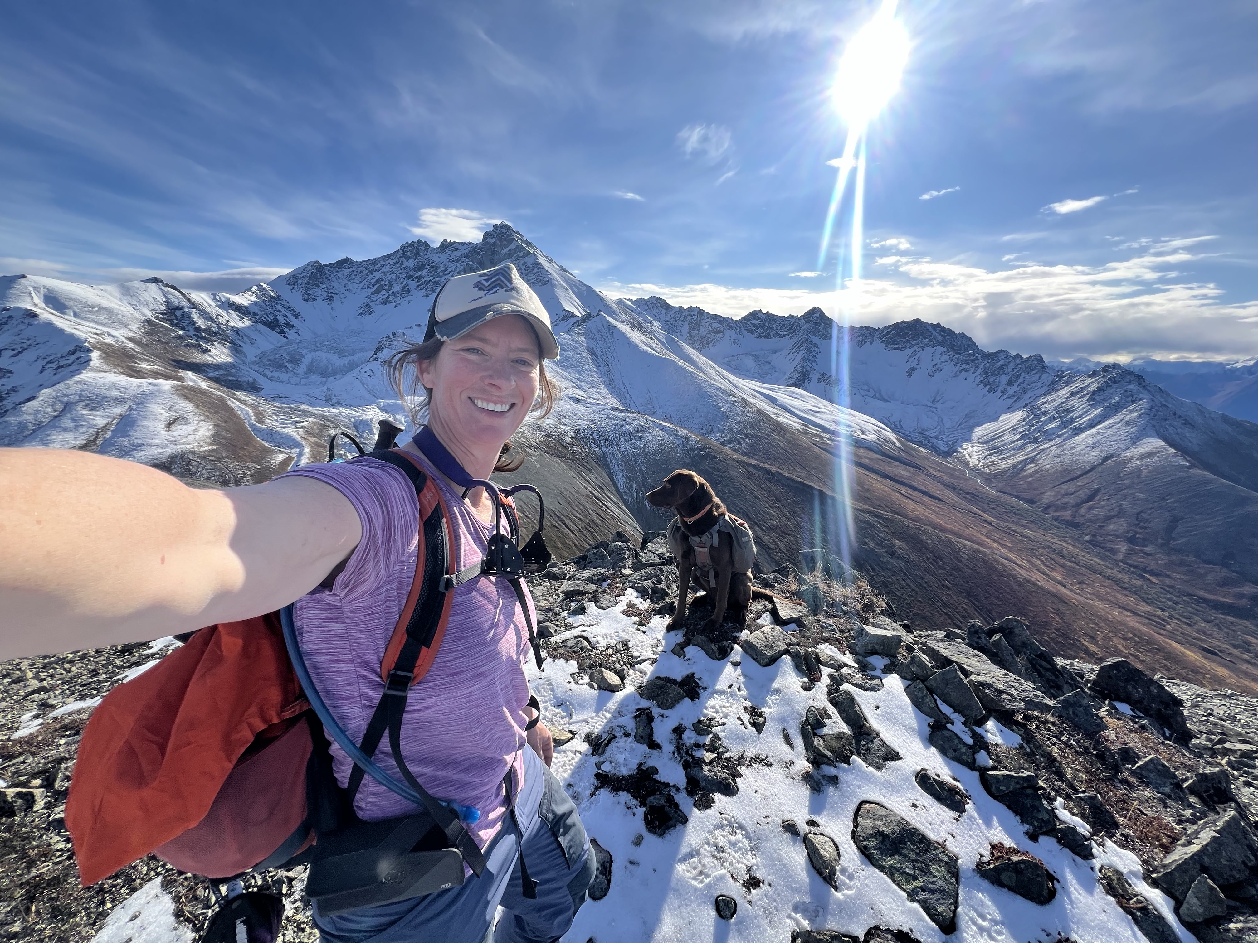
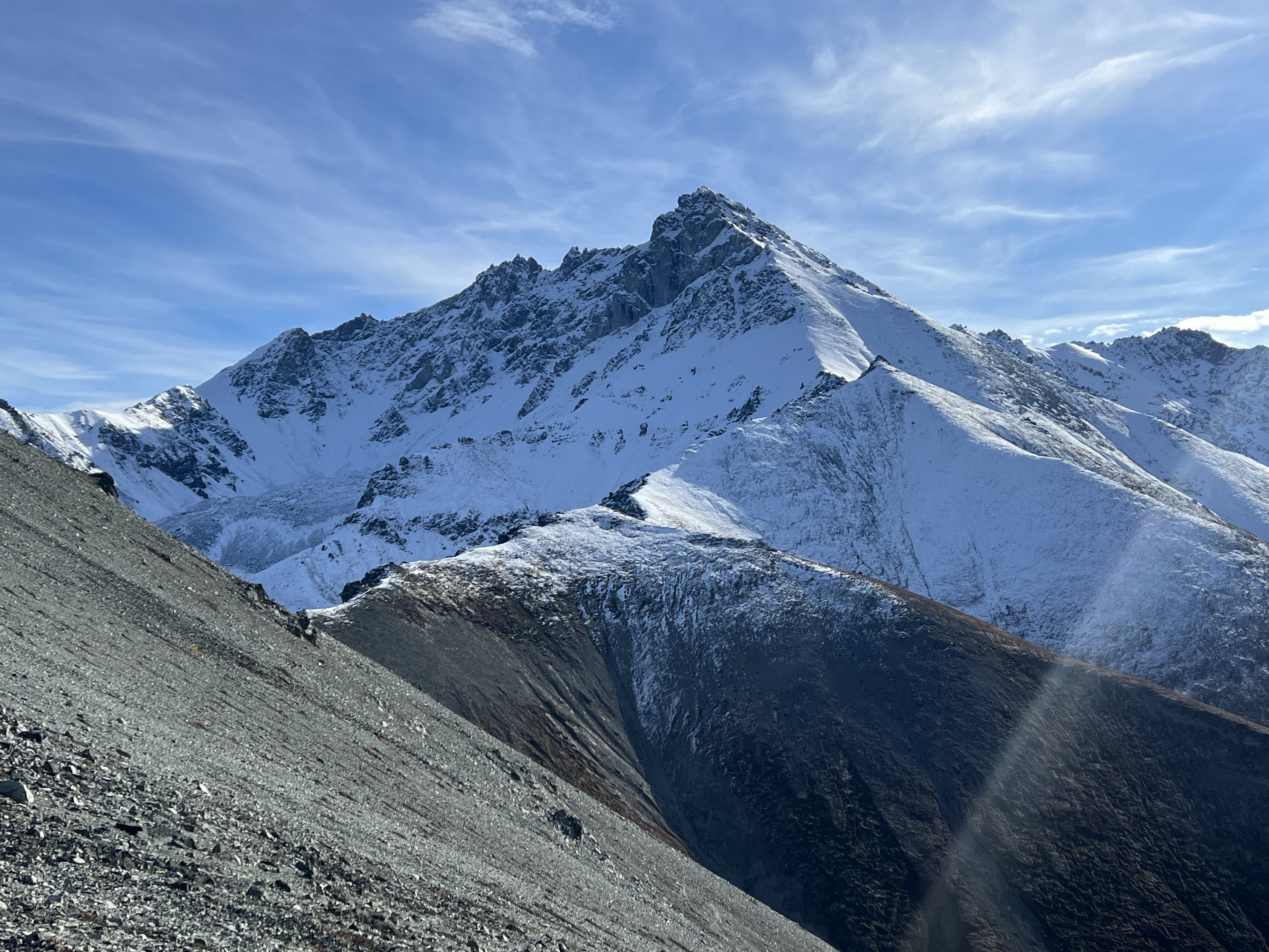
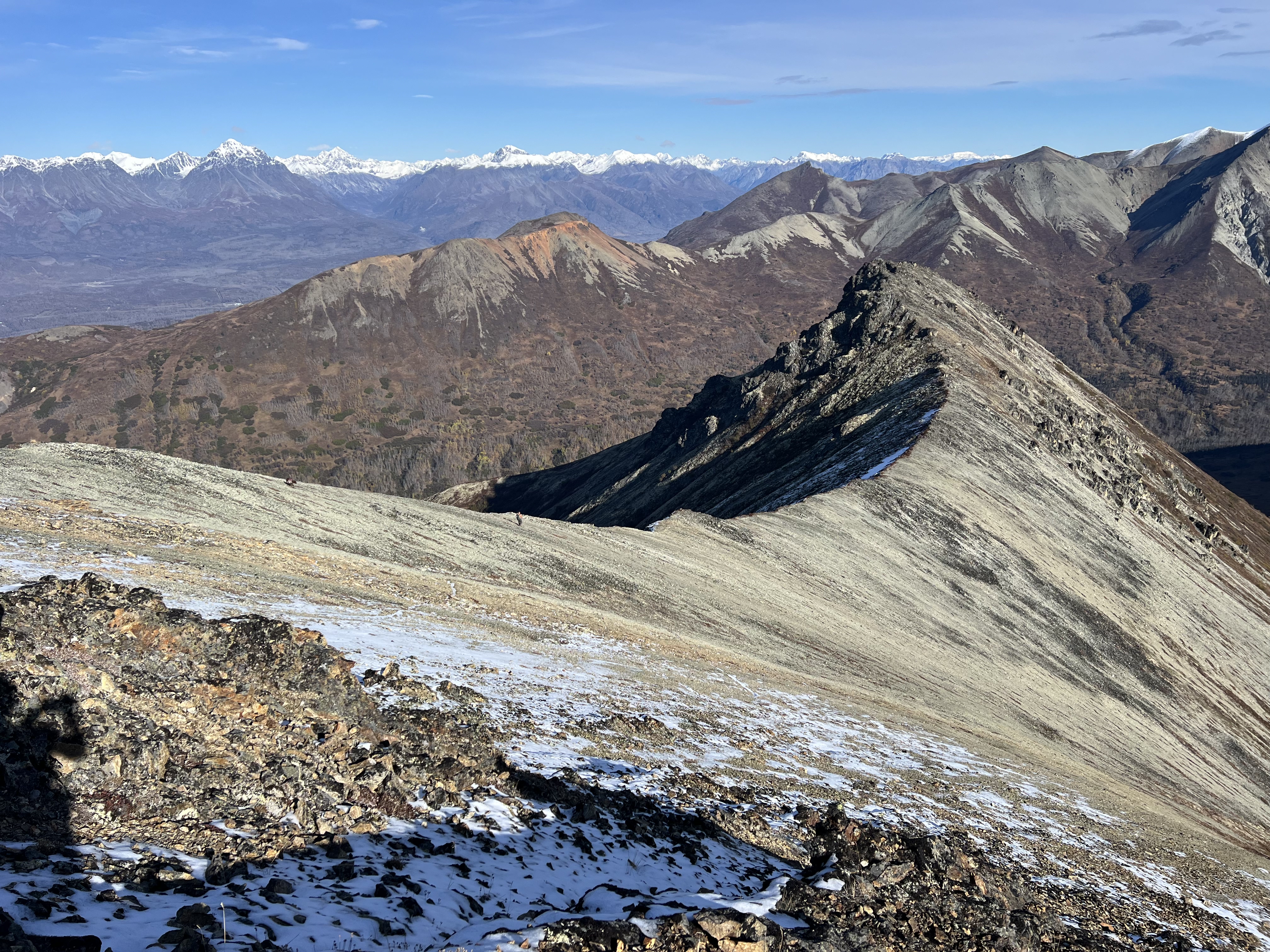
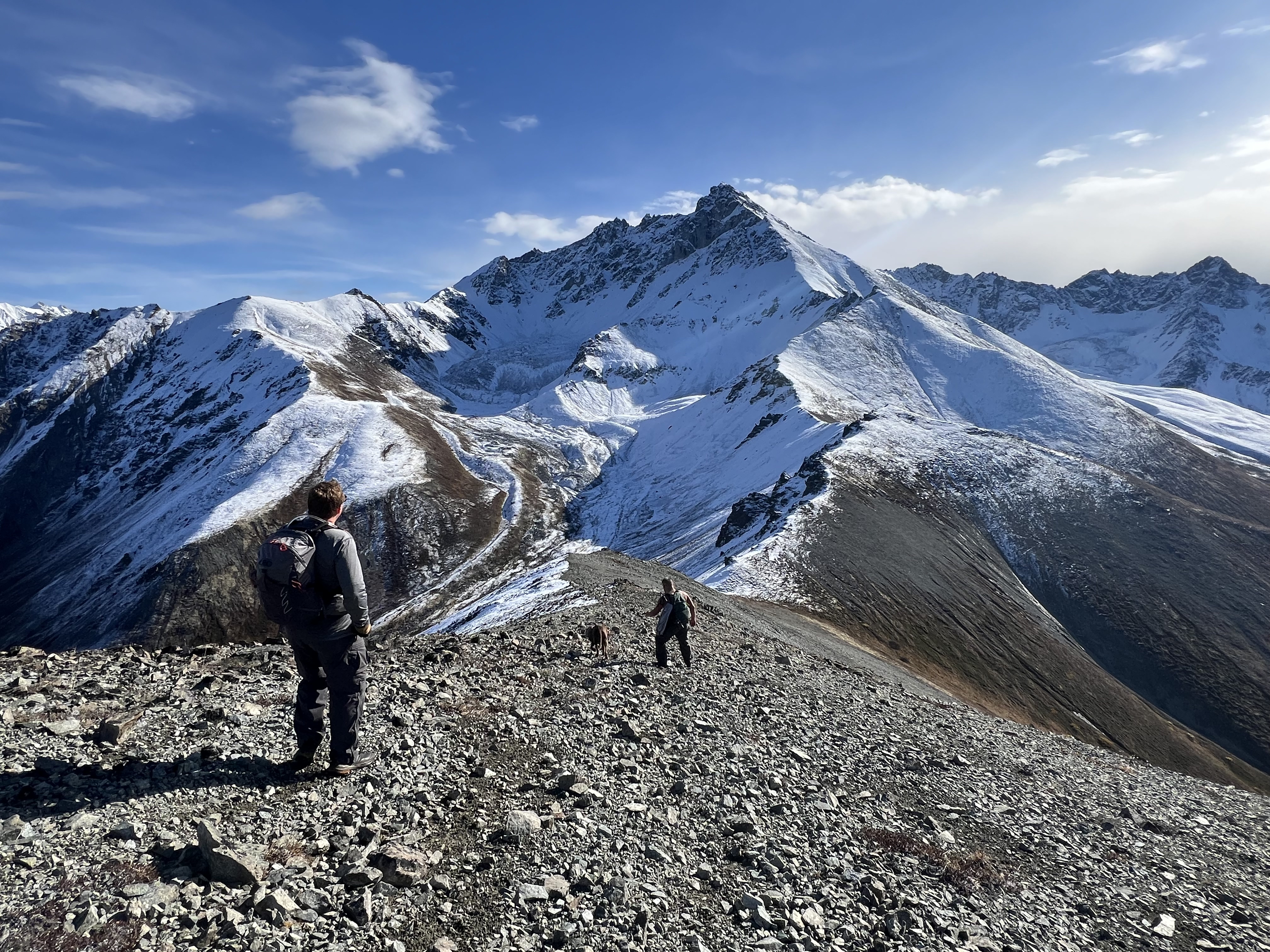
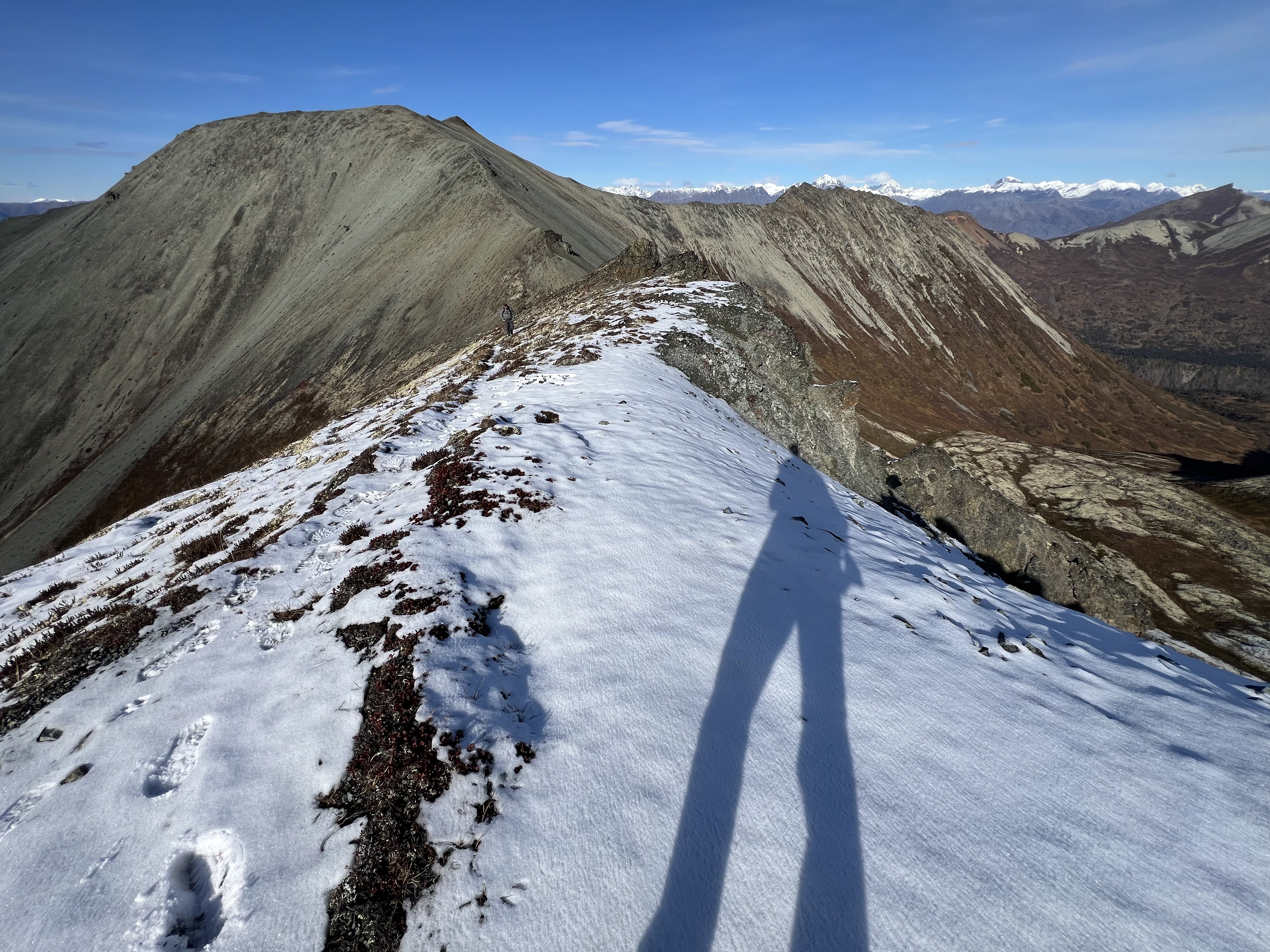
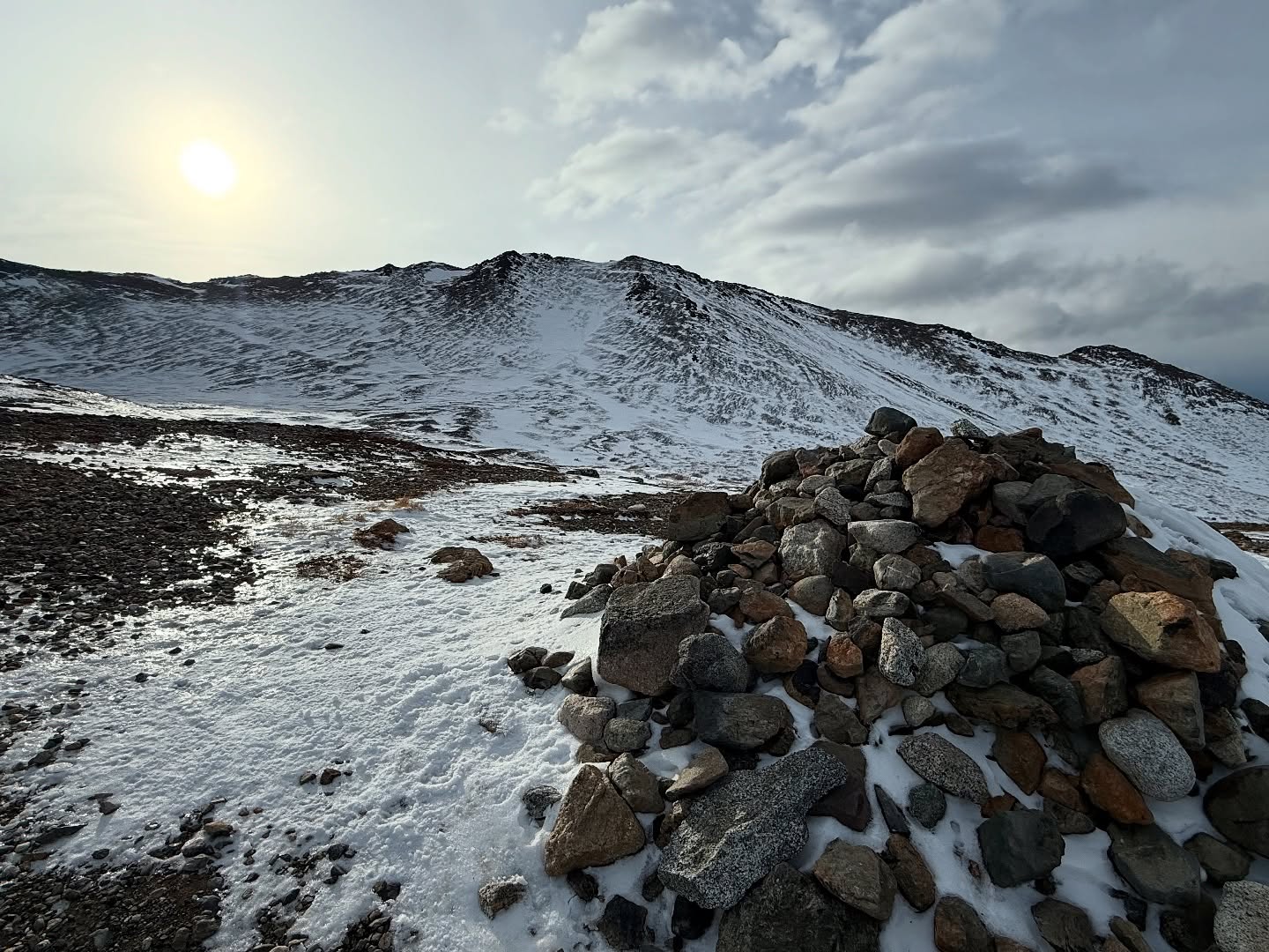
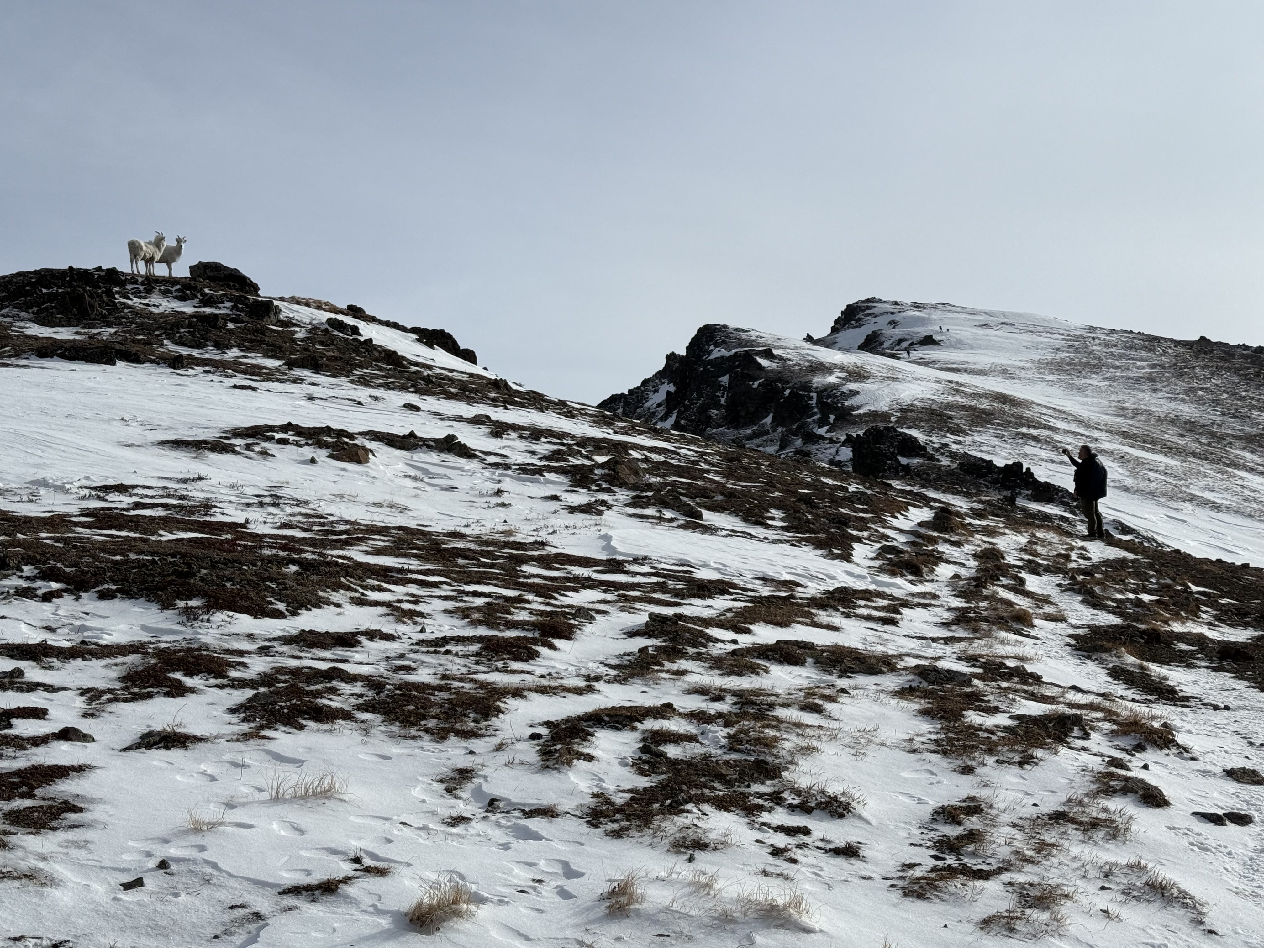
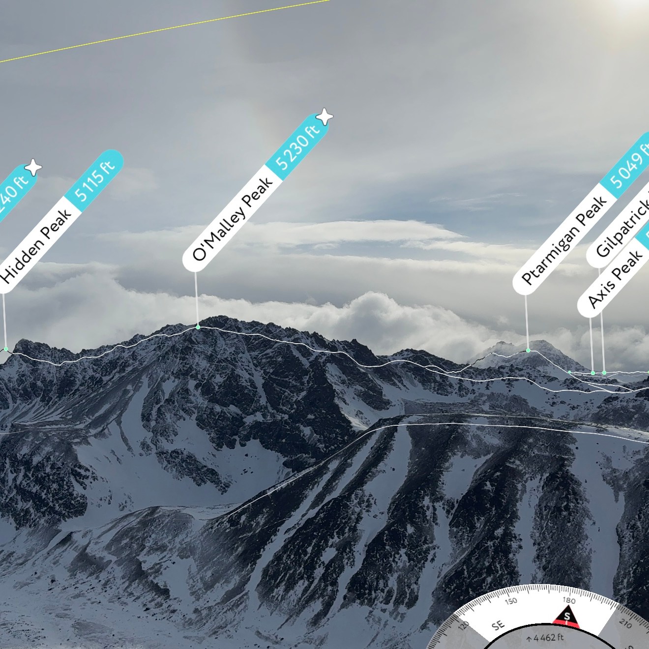
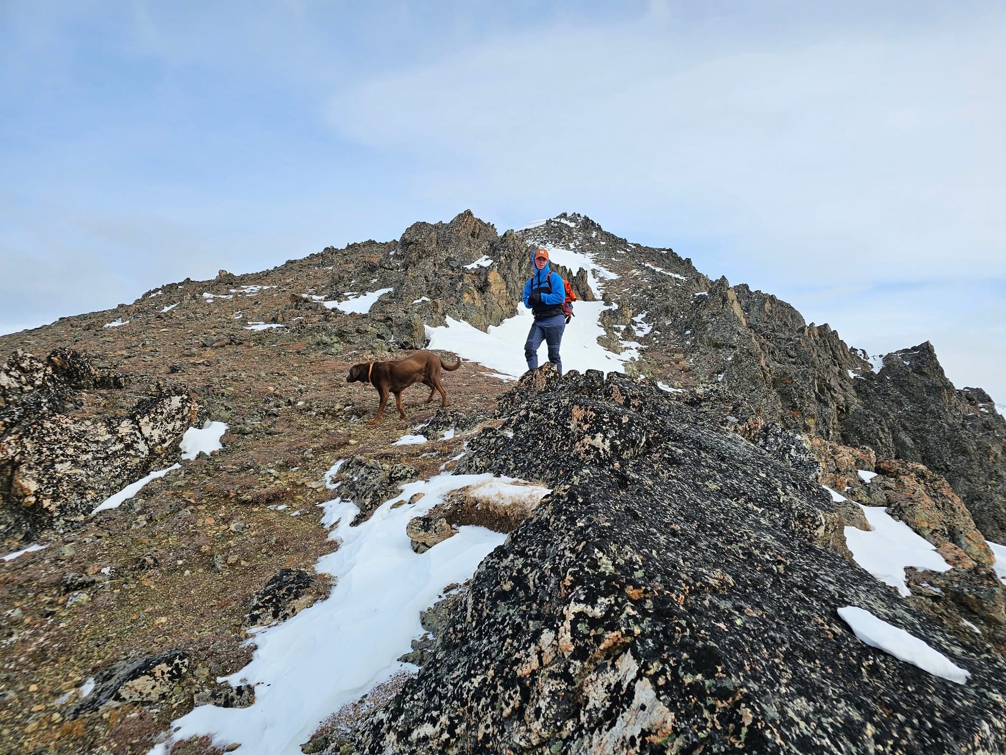
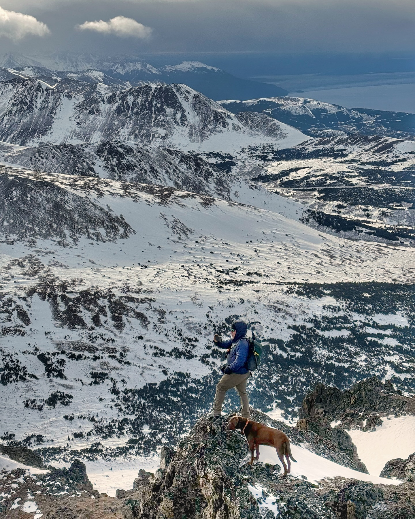
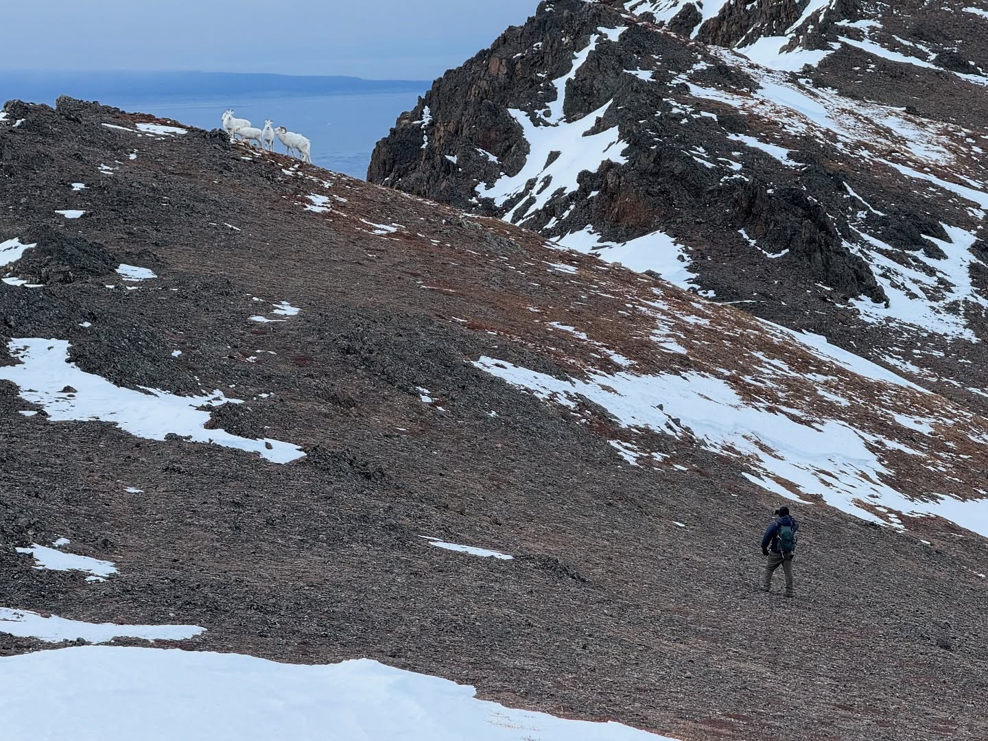
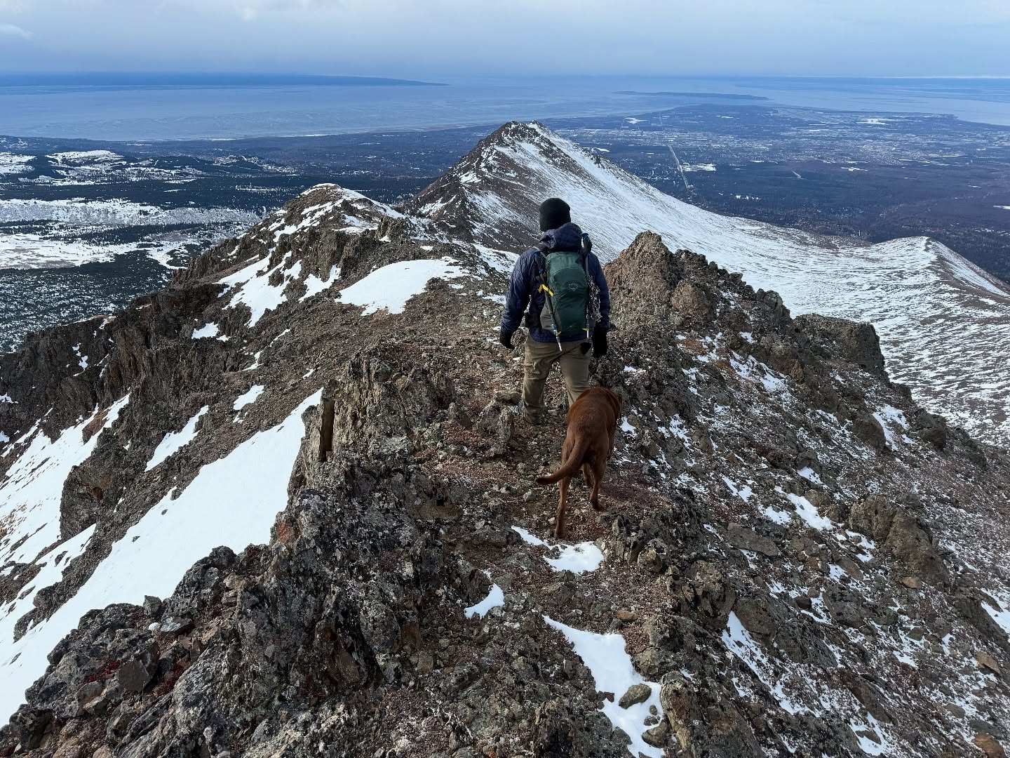
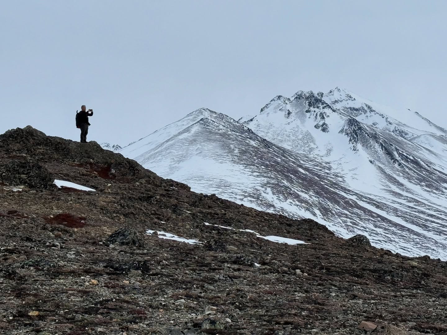
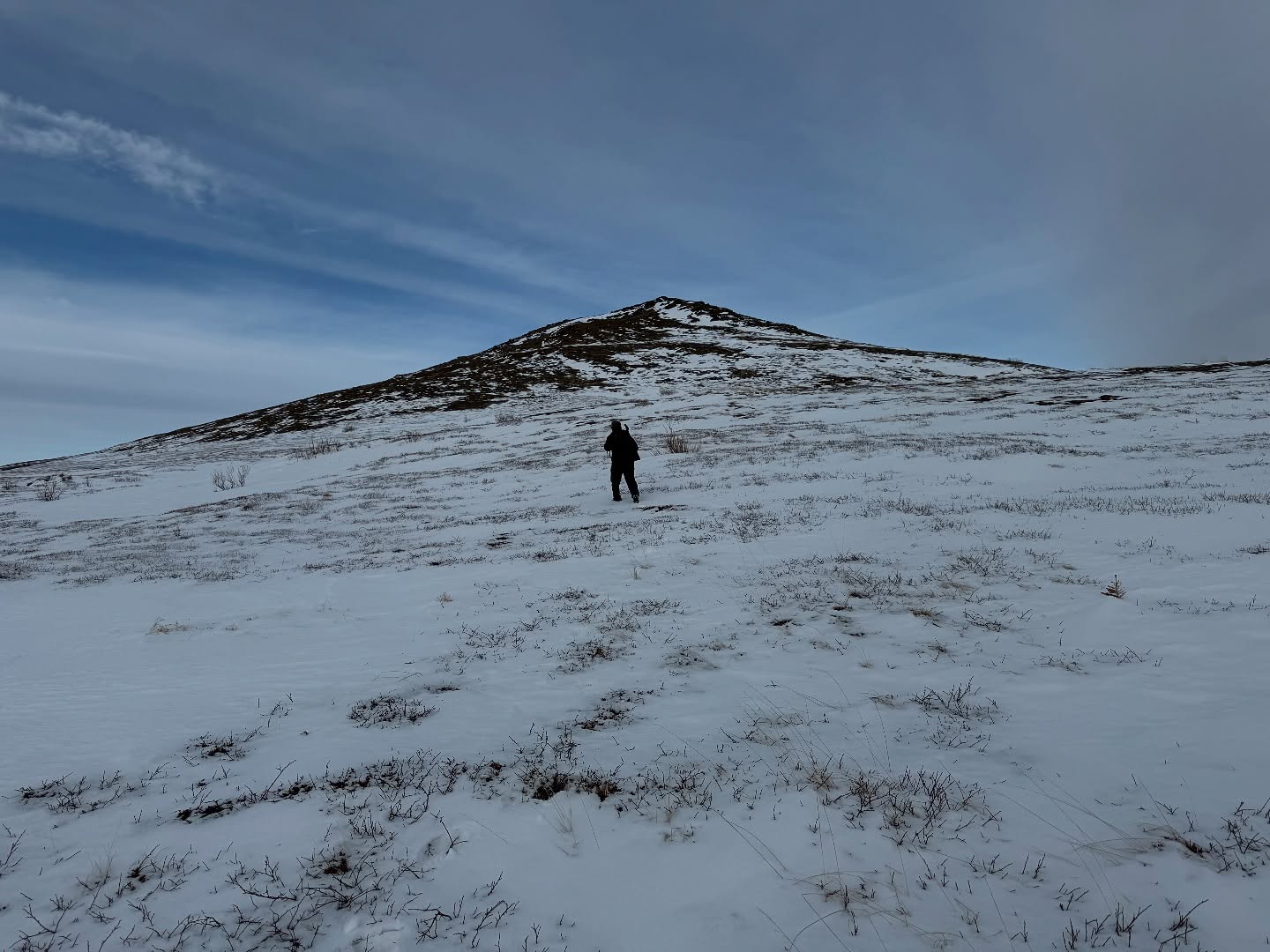
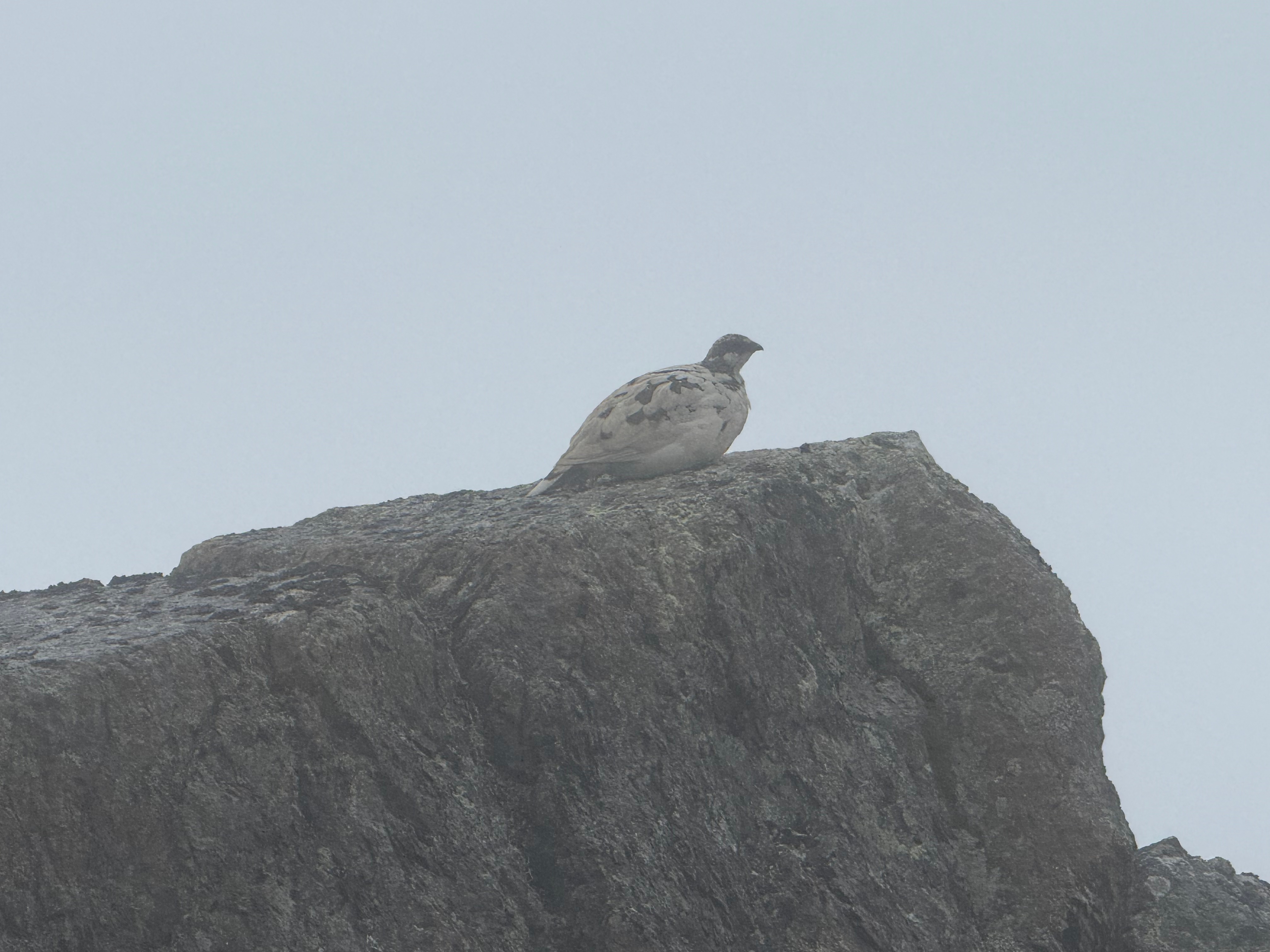
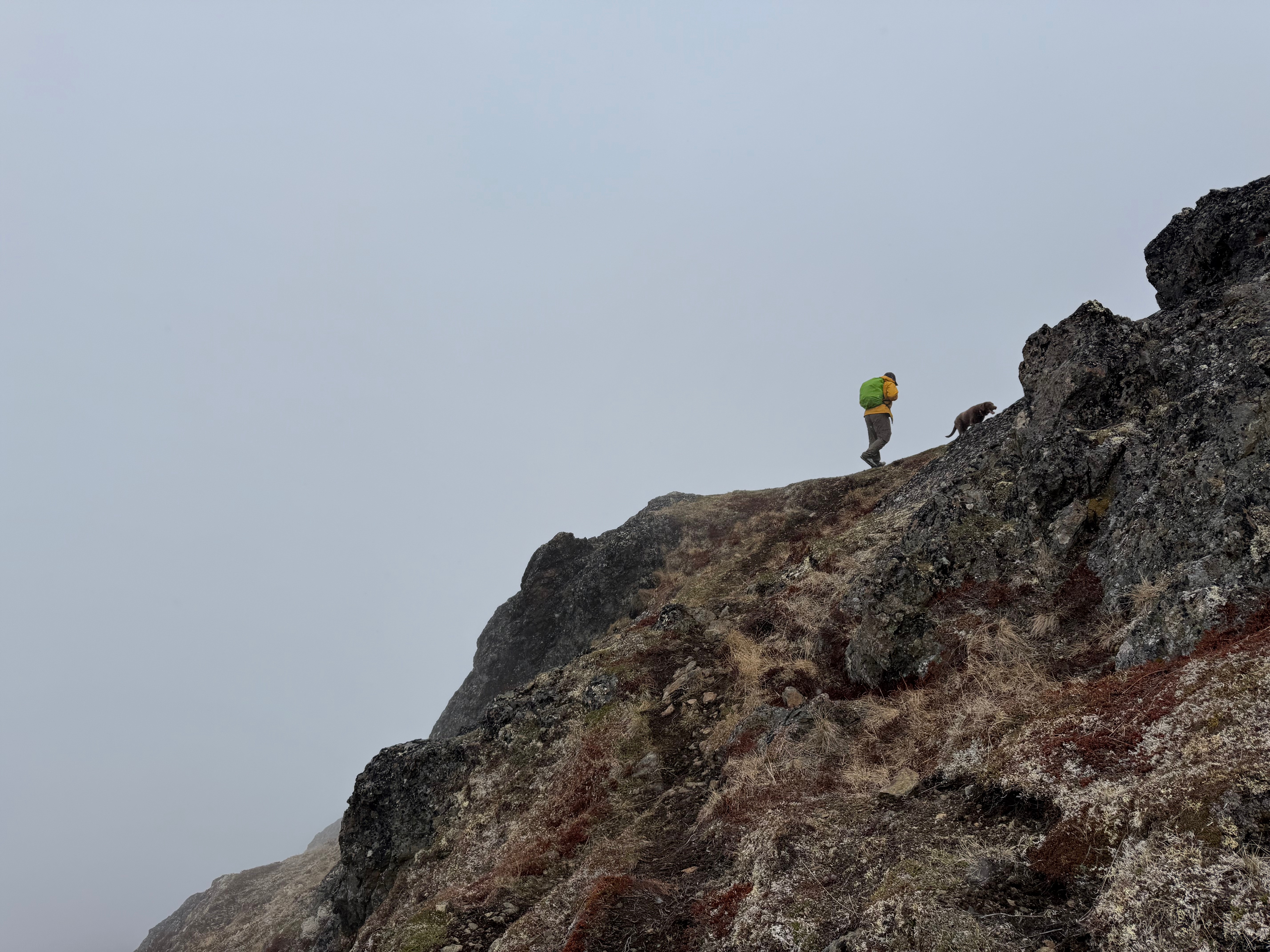
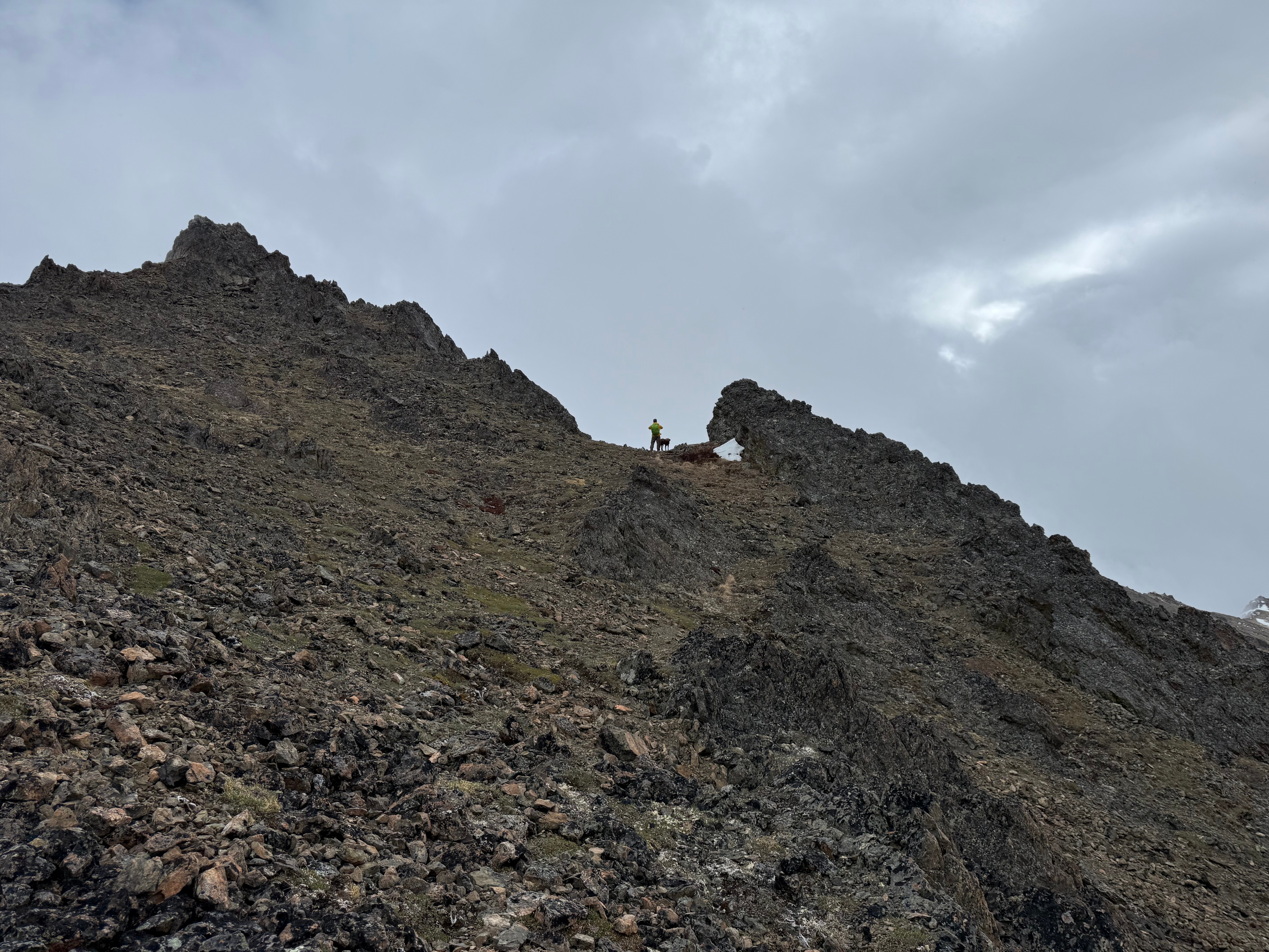
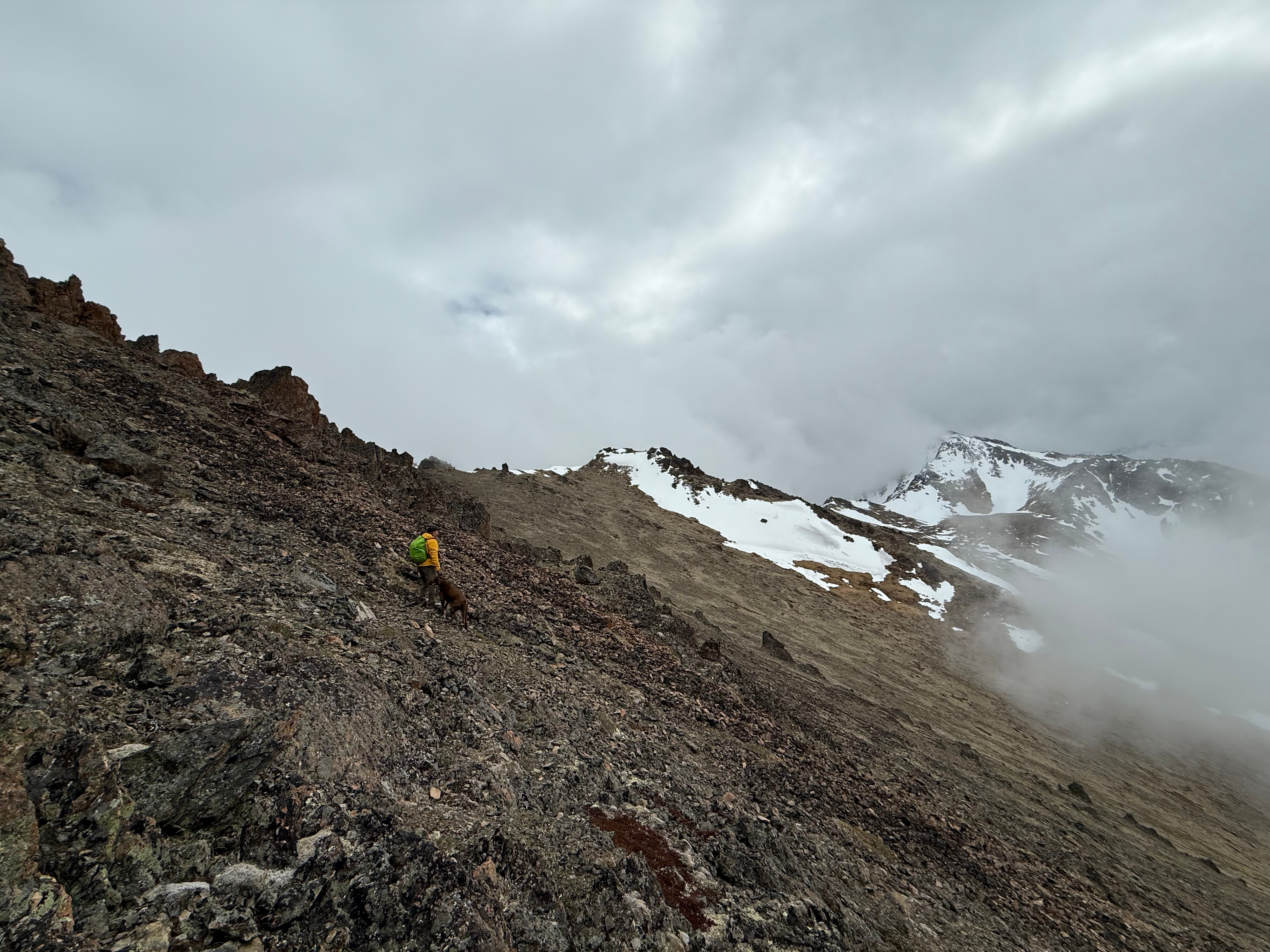
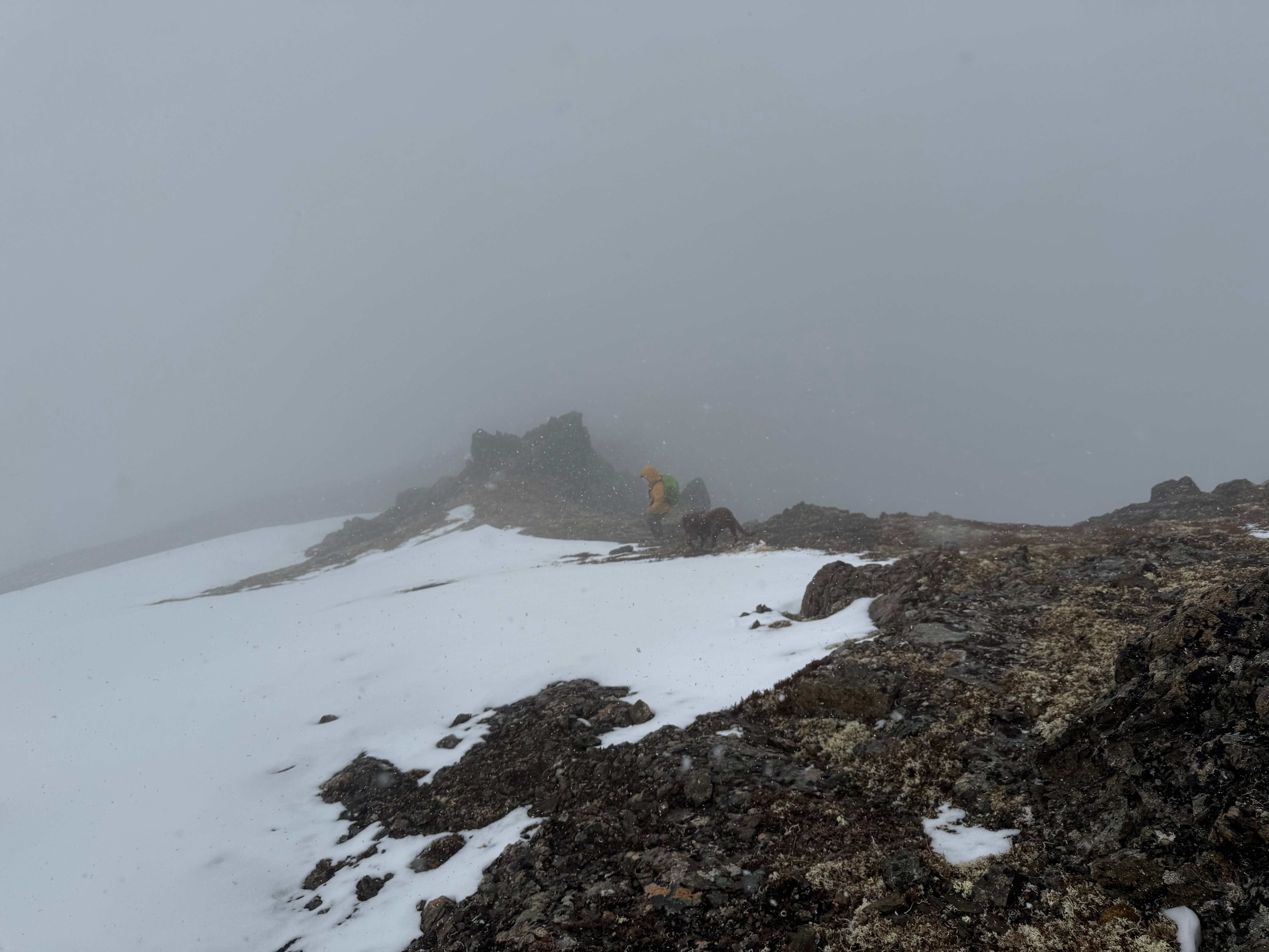
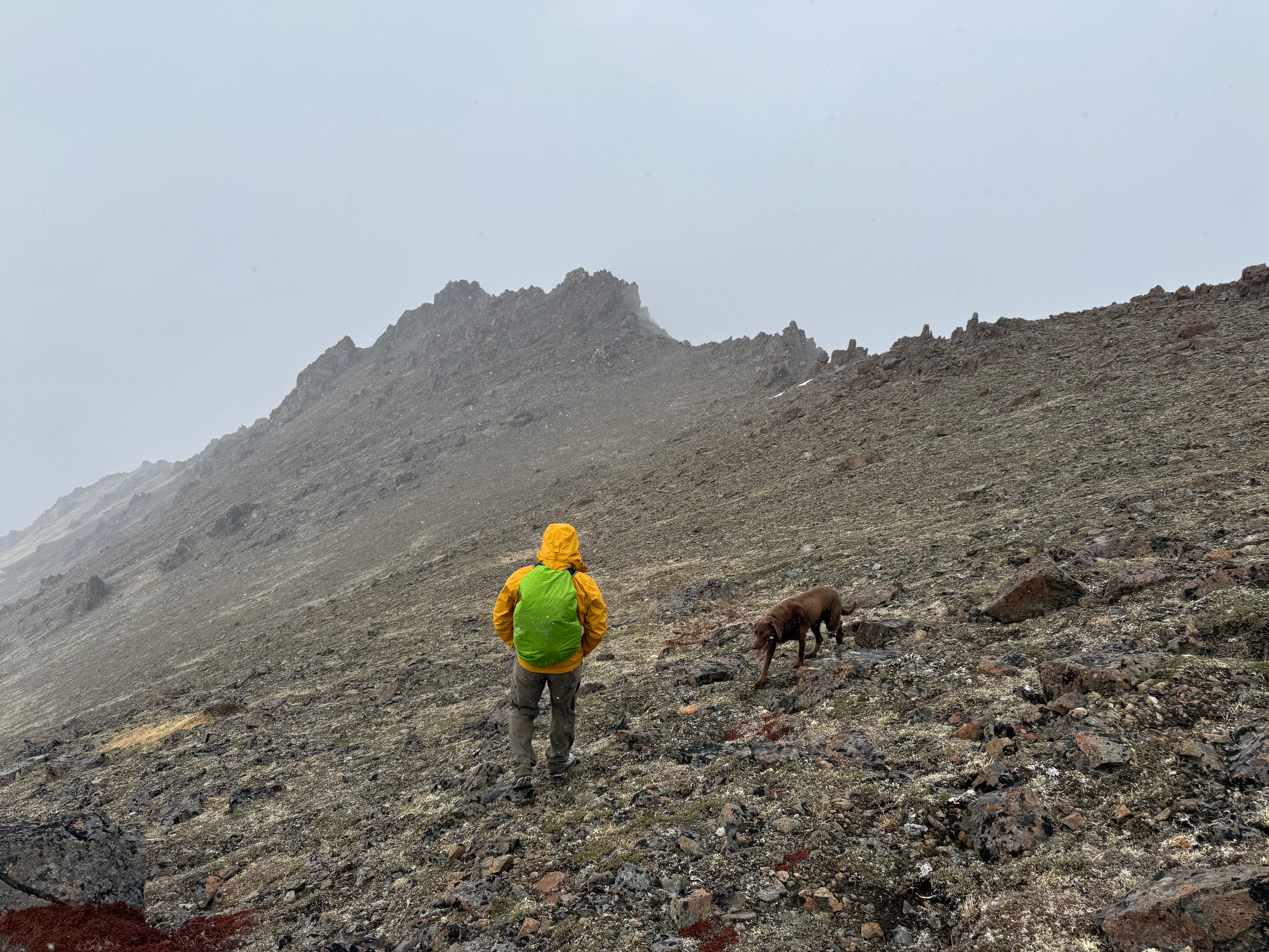
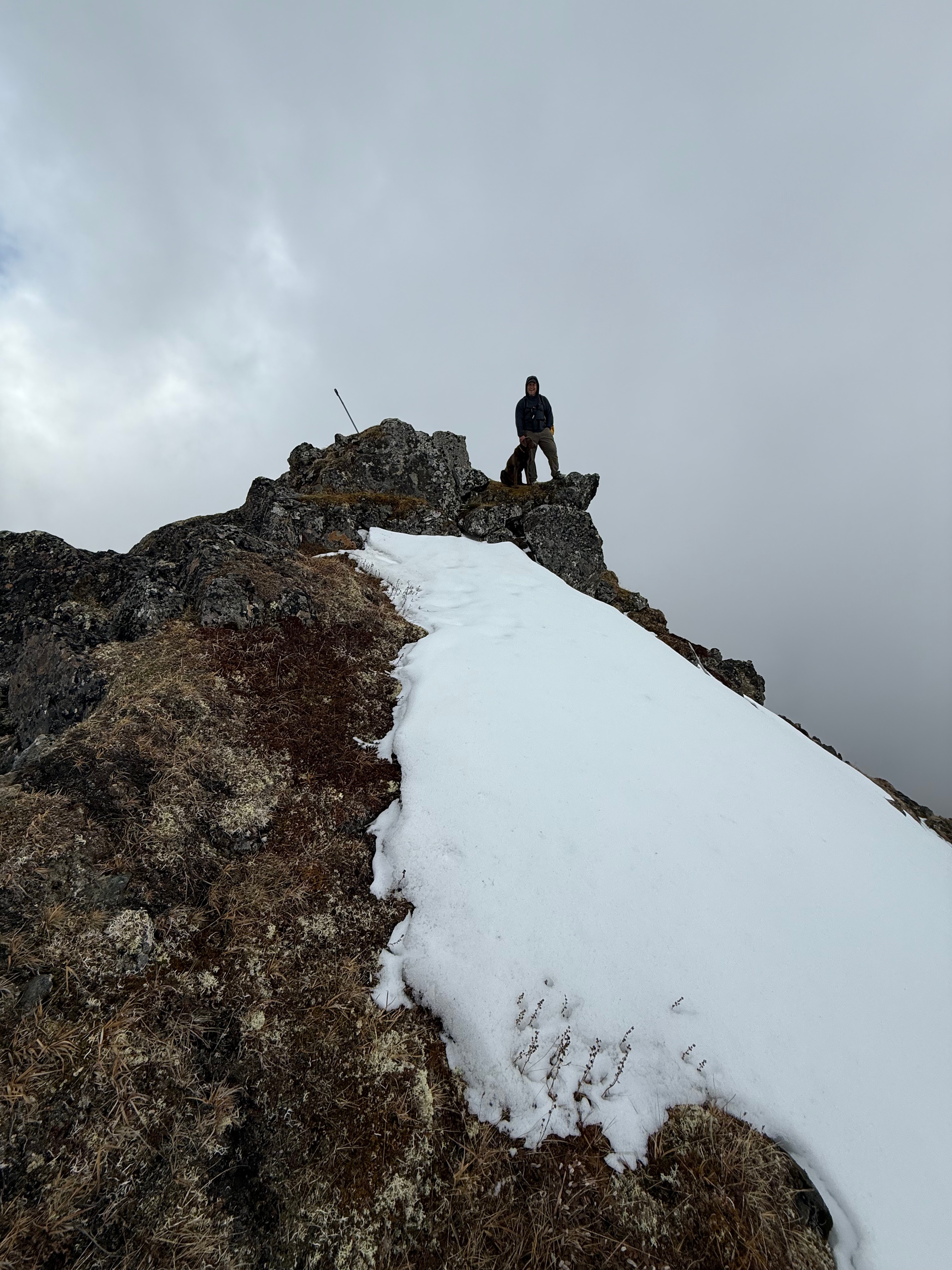
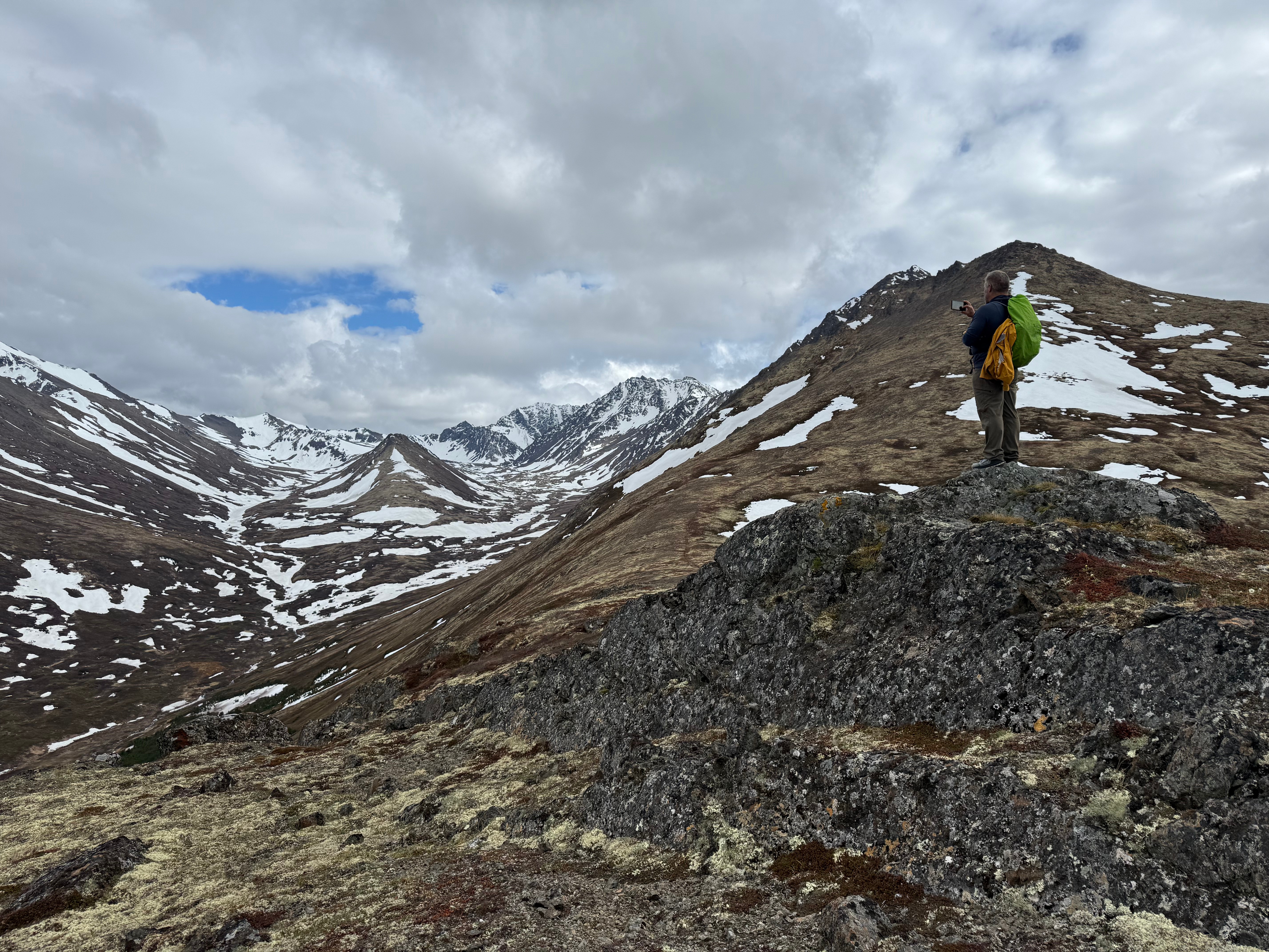
A solitary ptarmigan perched on a boulder welcomed us to the top of The Dome, where we paused for a quick bite before continuing up the ridge toward Knoya. The low ceiling of clouds persisted as we ascended the jagged ridge. From a distance, the ridgeline looks deceptively daunting, but once you’re on it, the walking is fairly straightforward with no scrambling required.
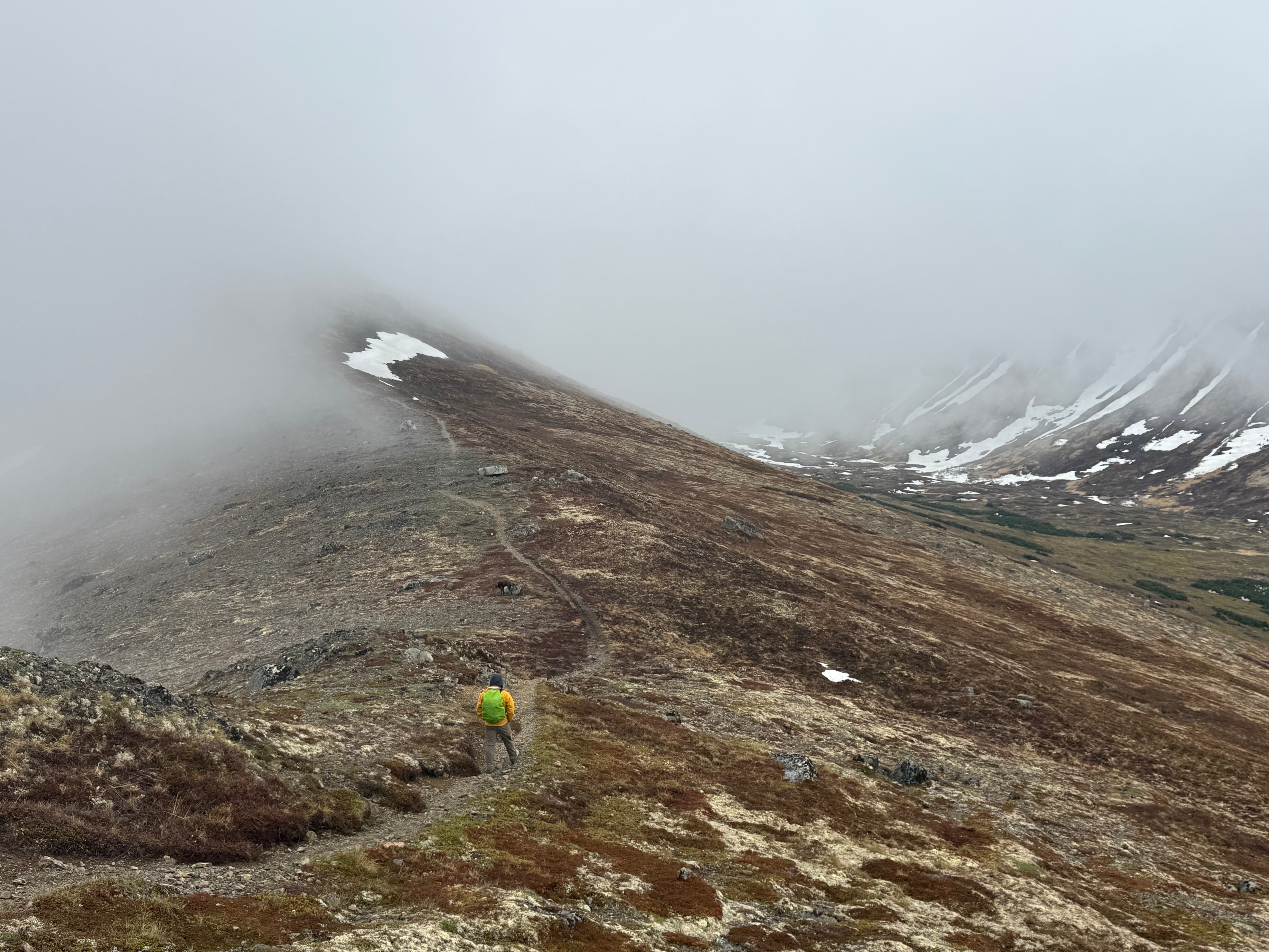
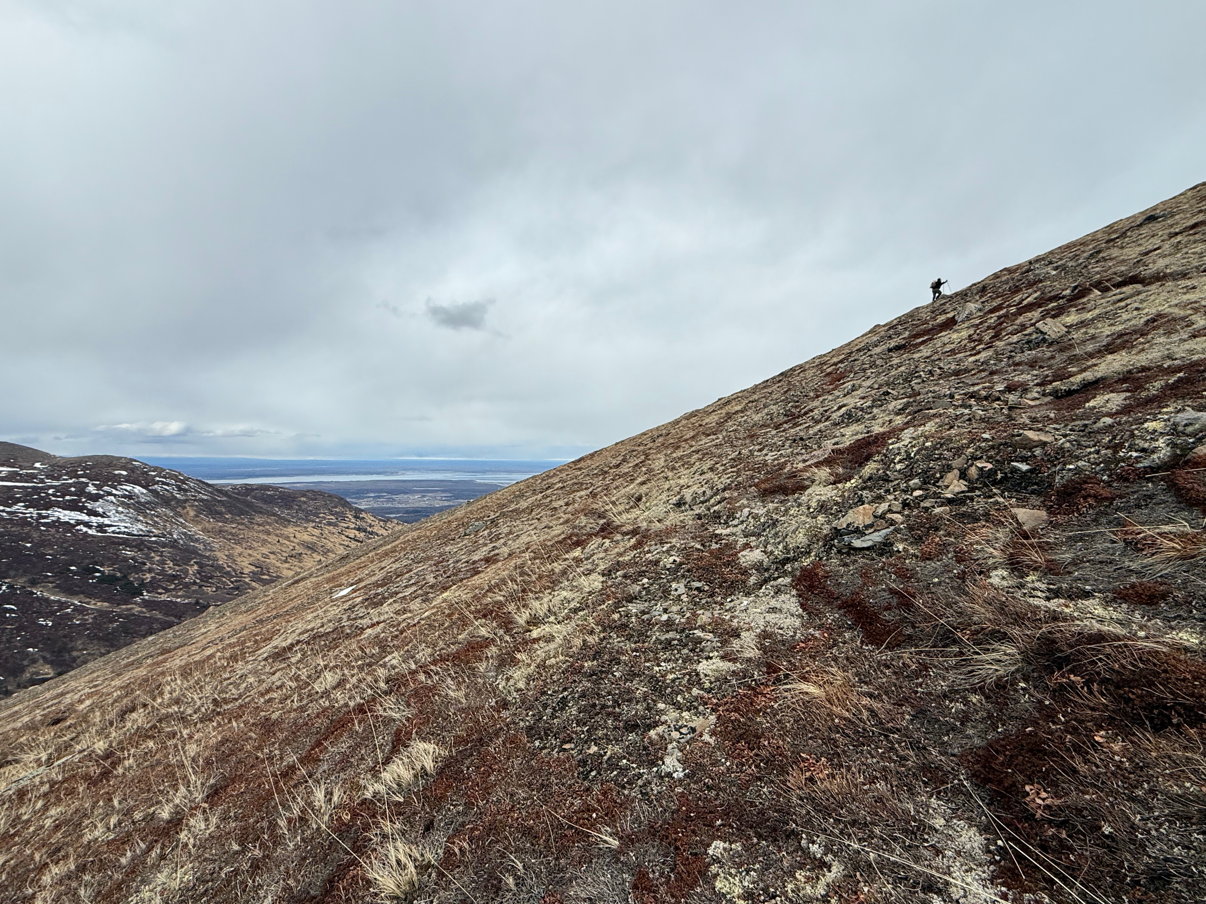
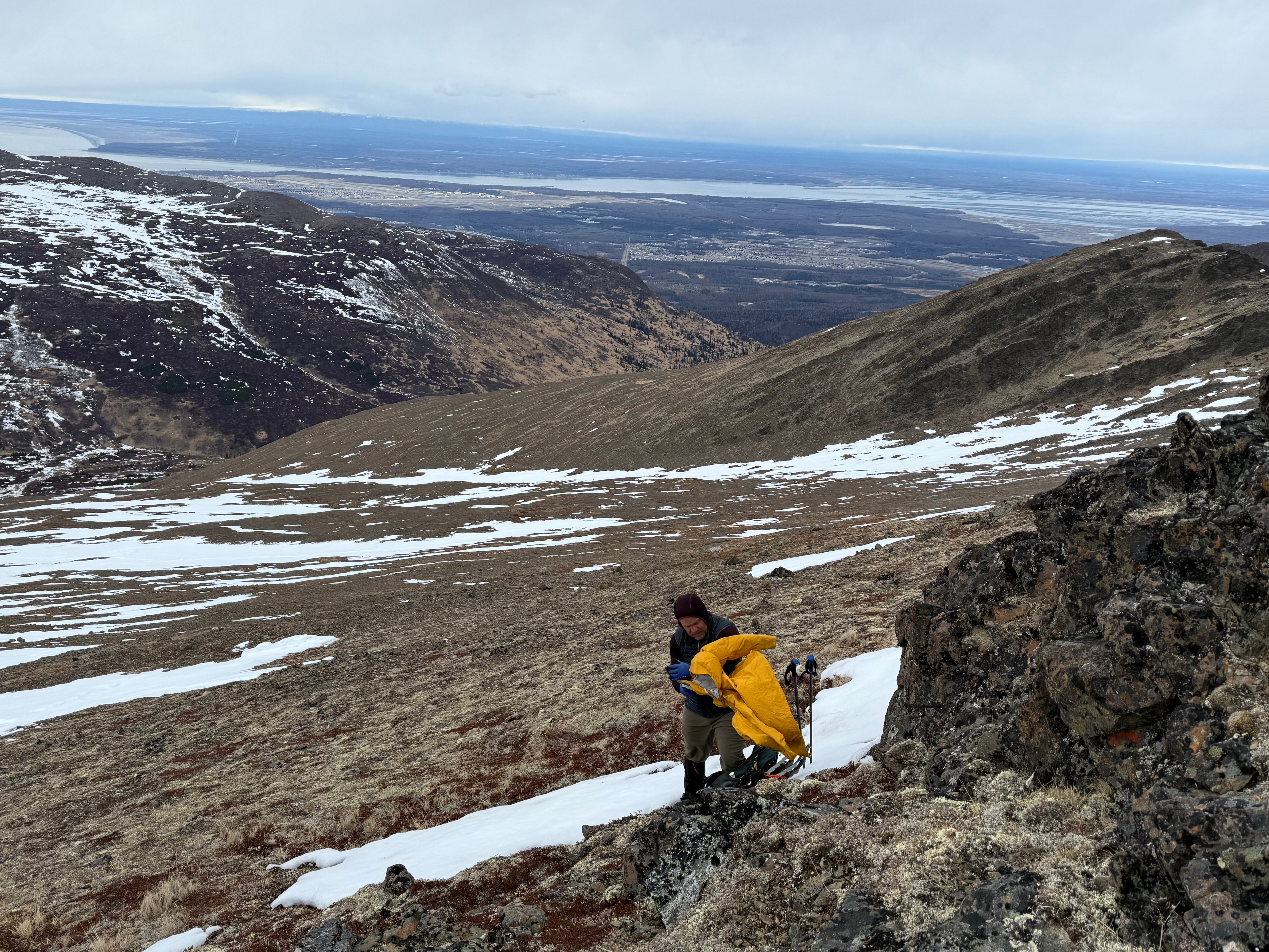
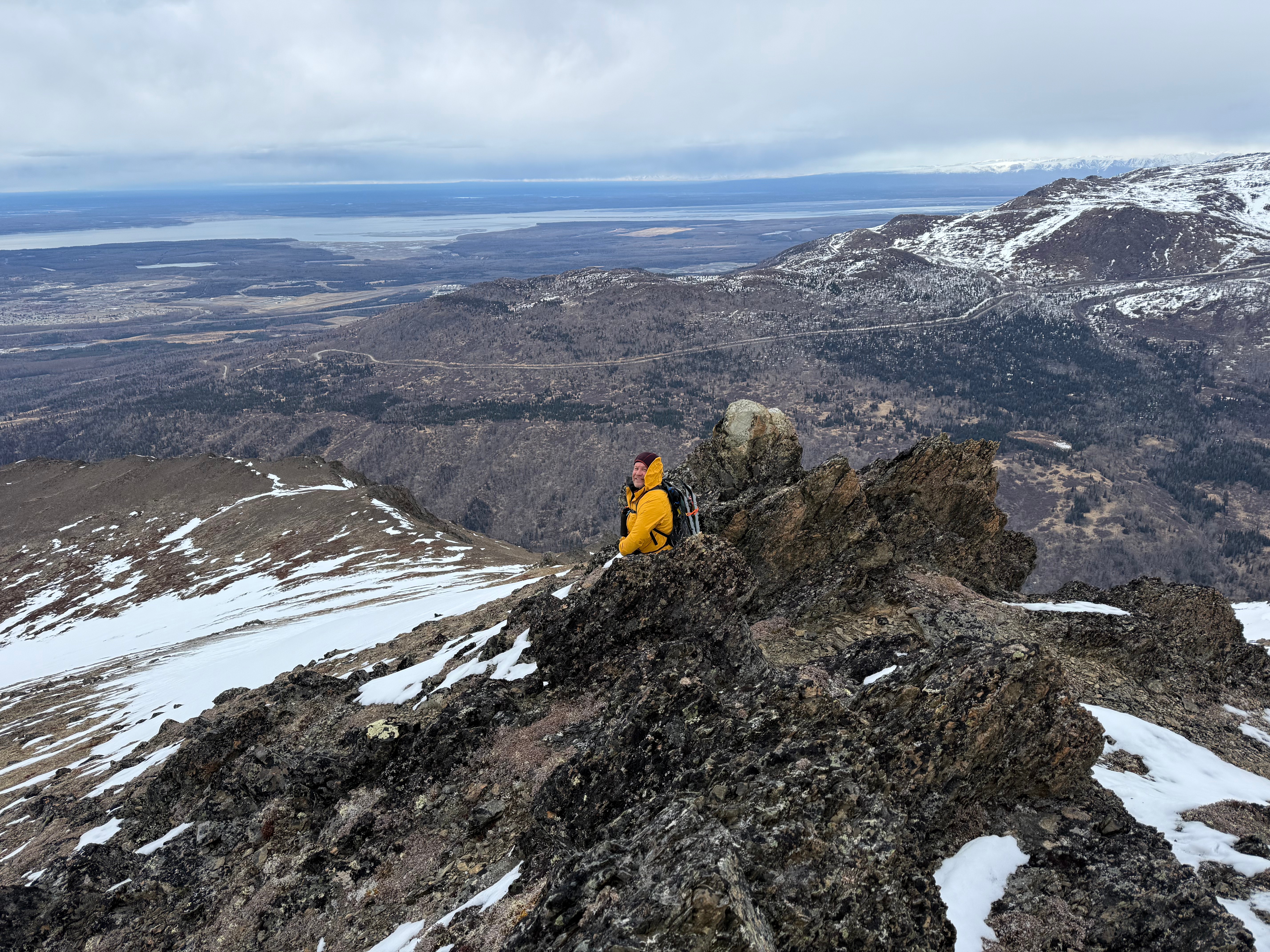
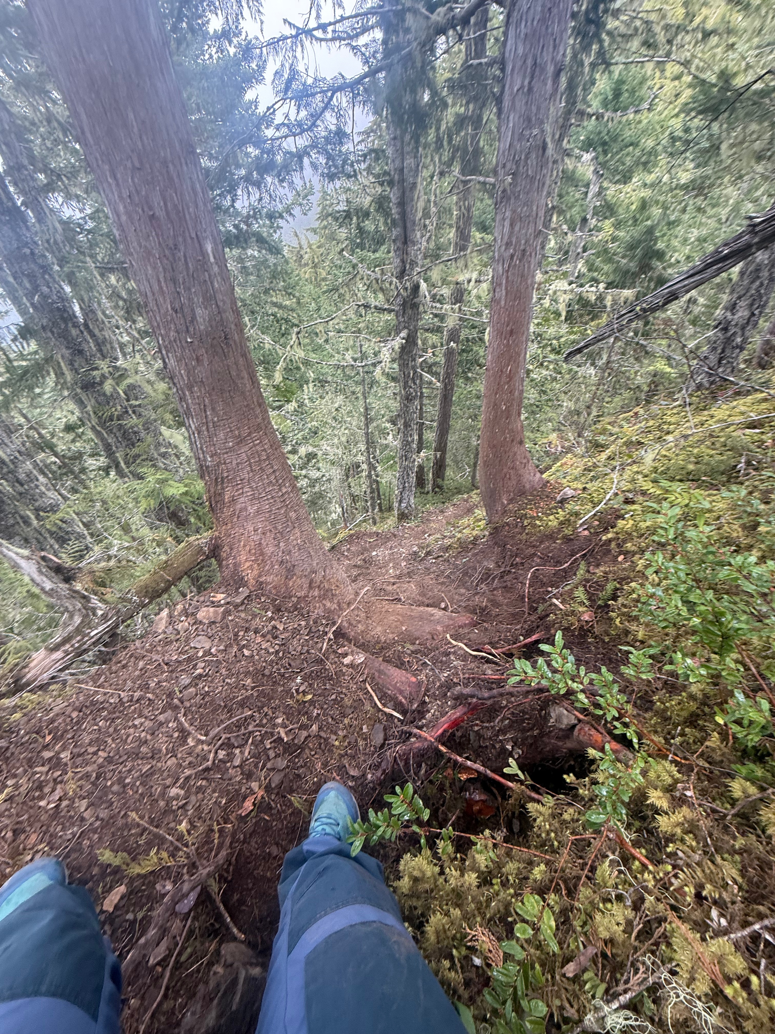
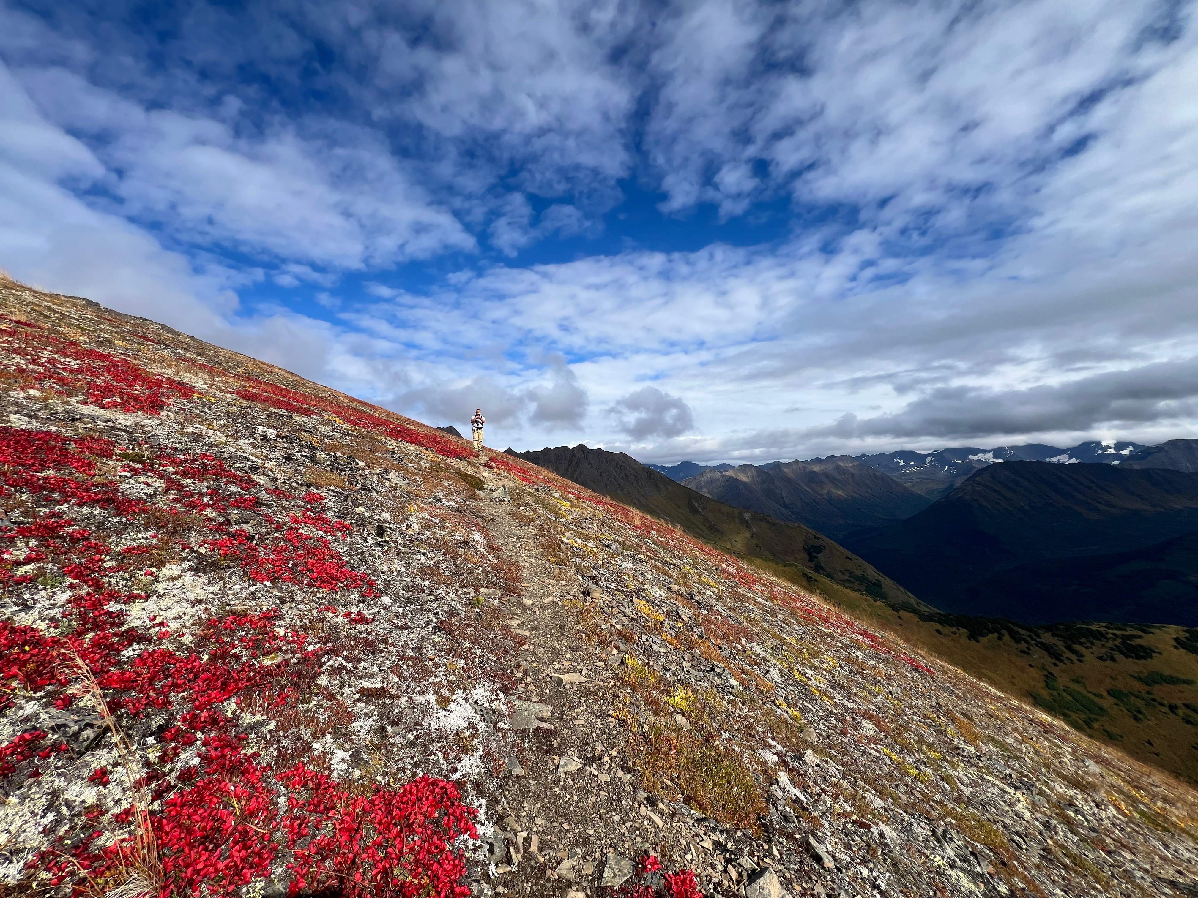
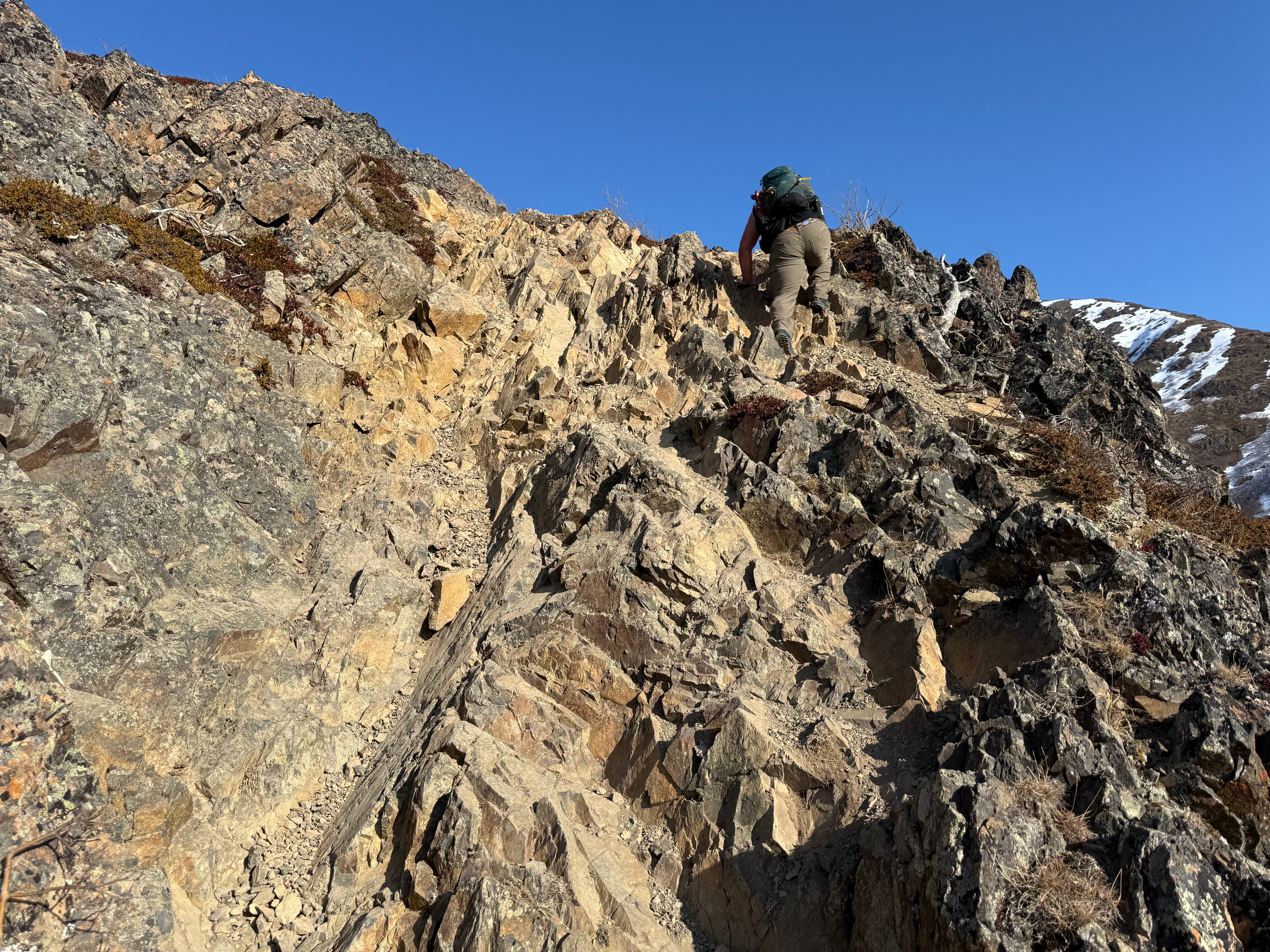
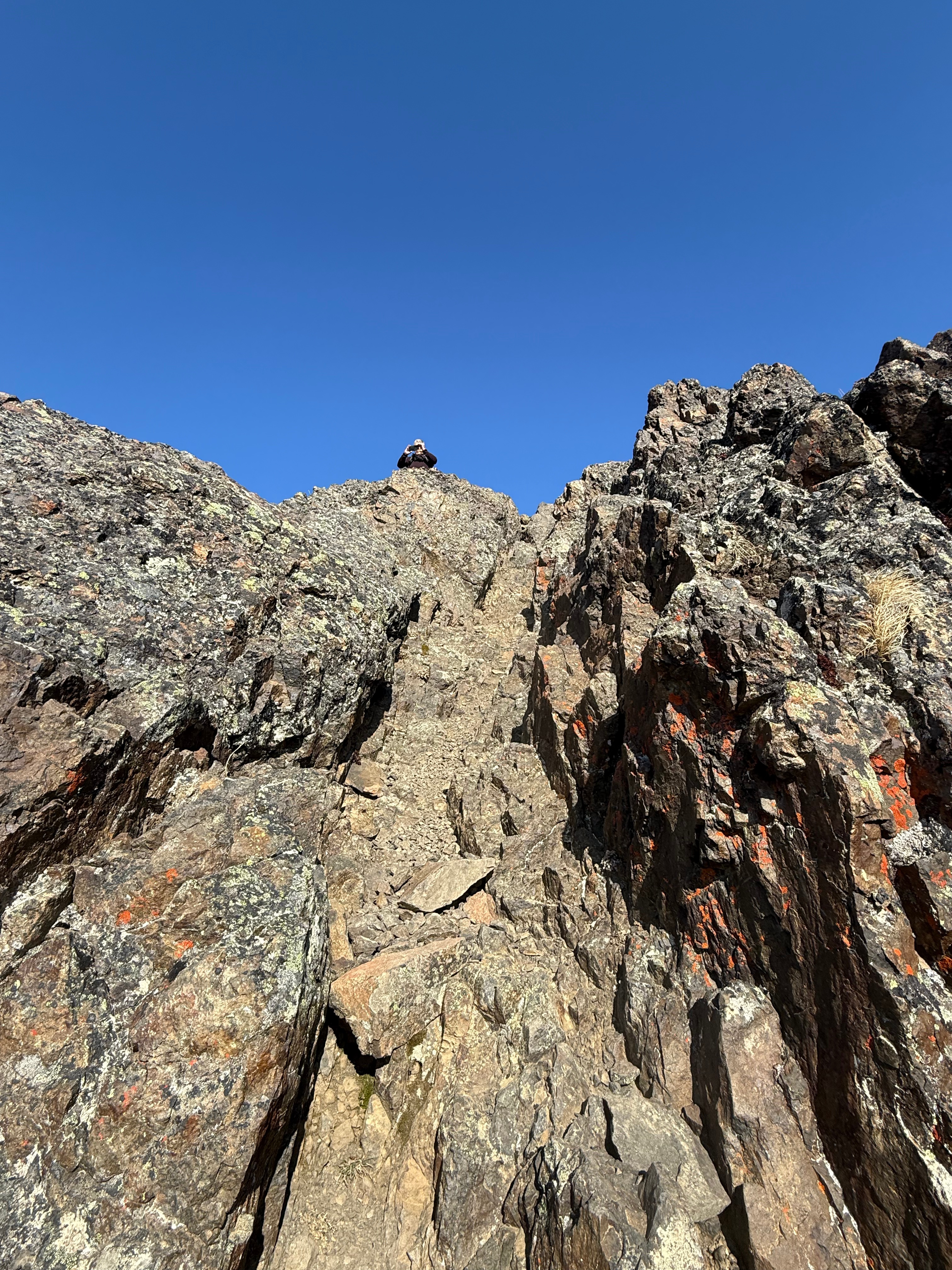
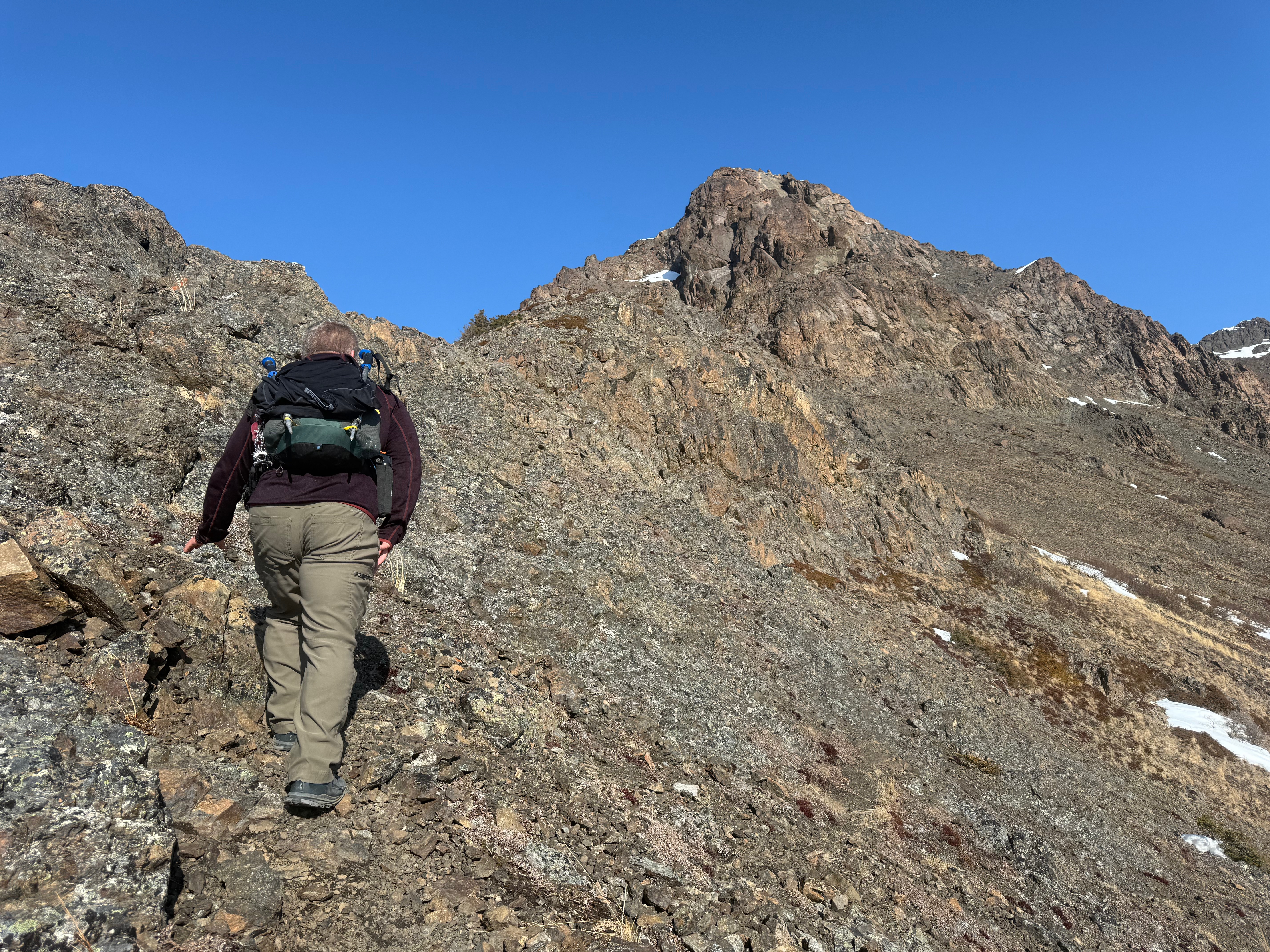
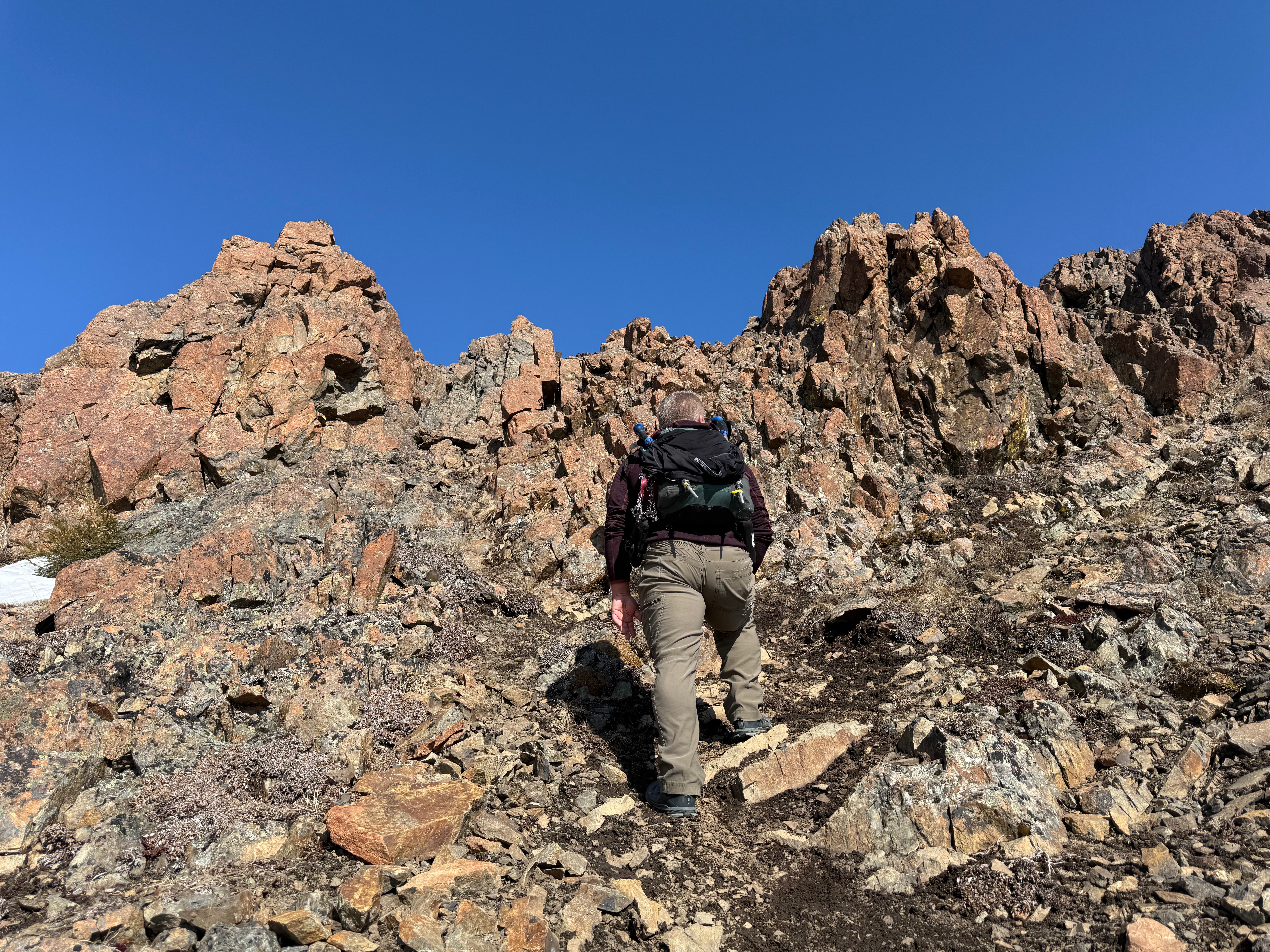
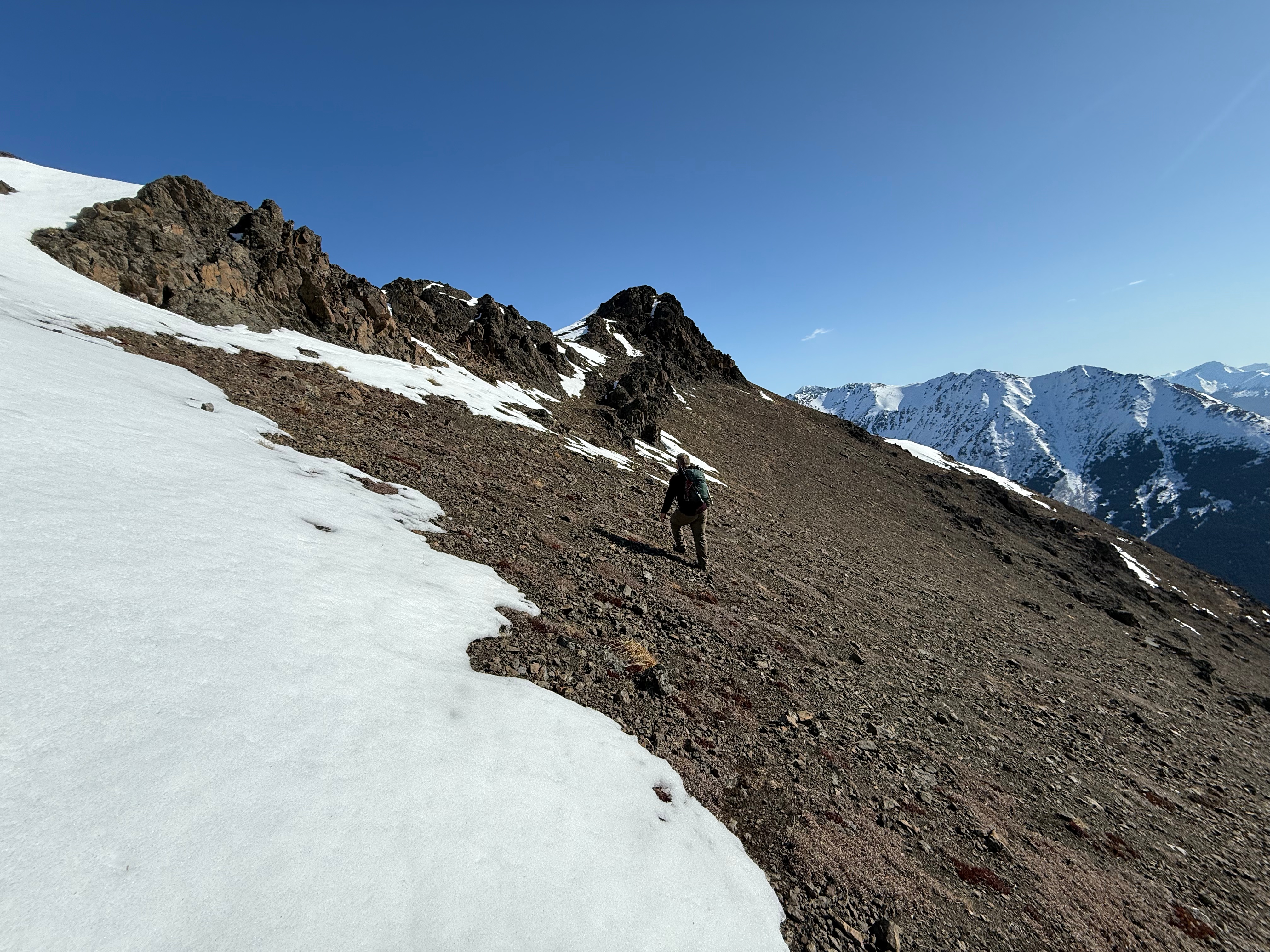
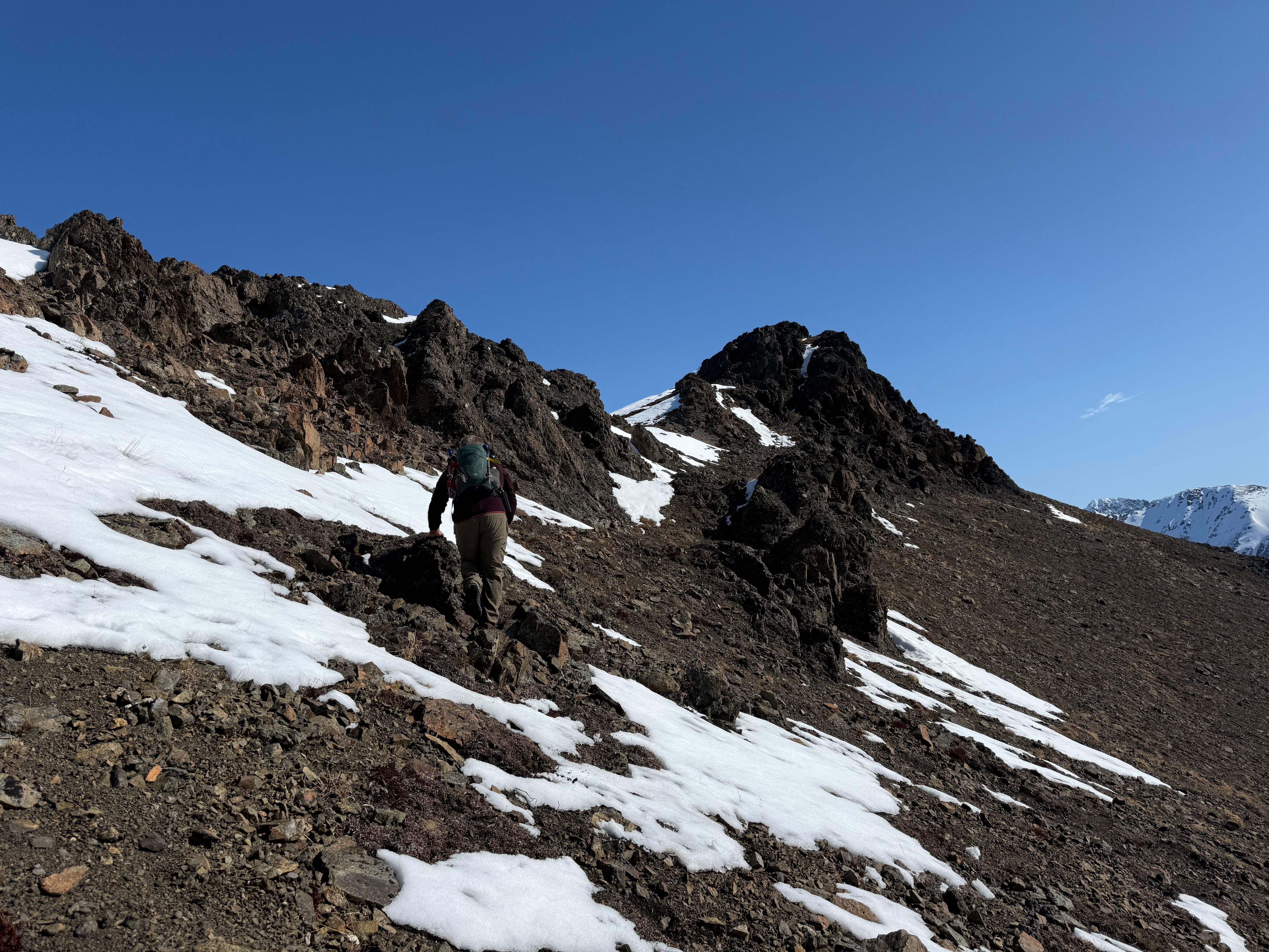
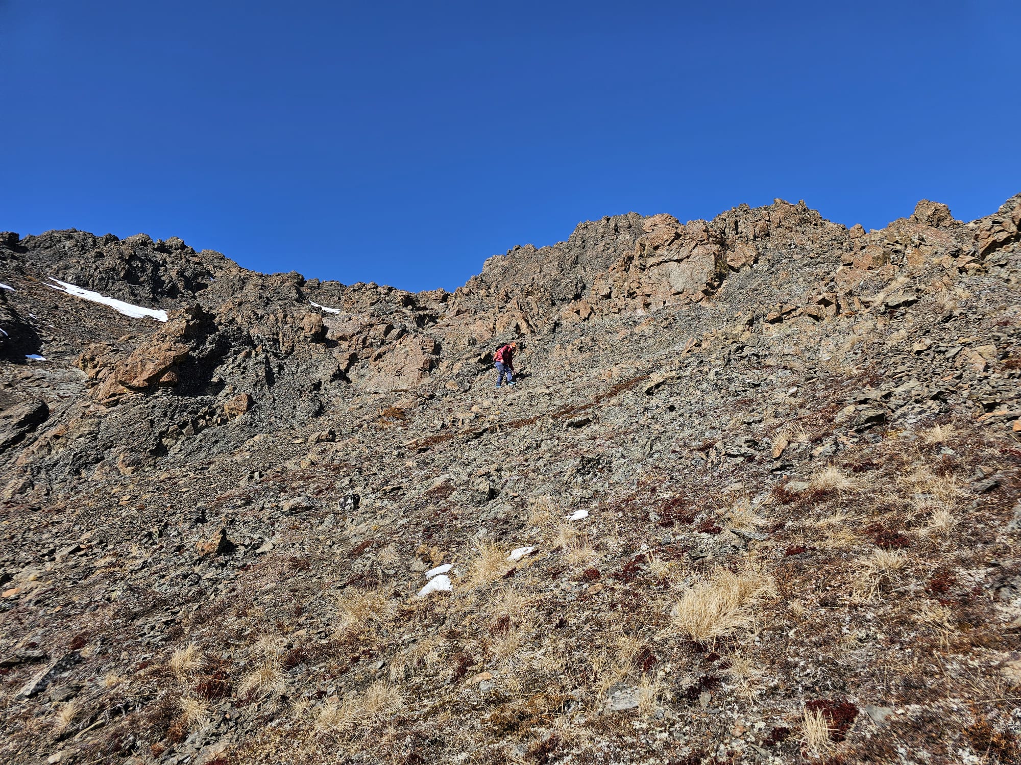
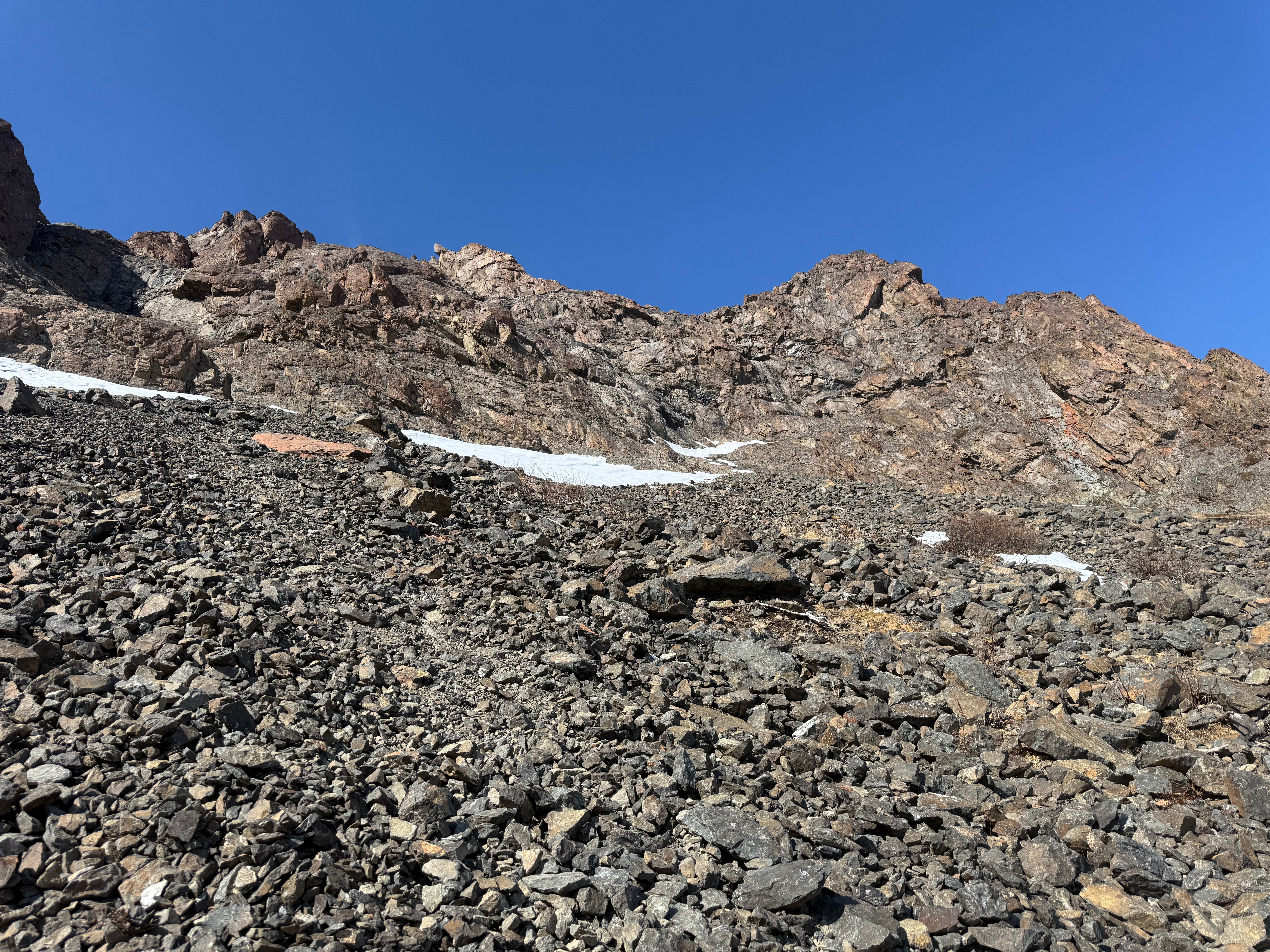
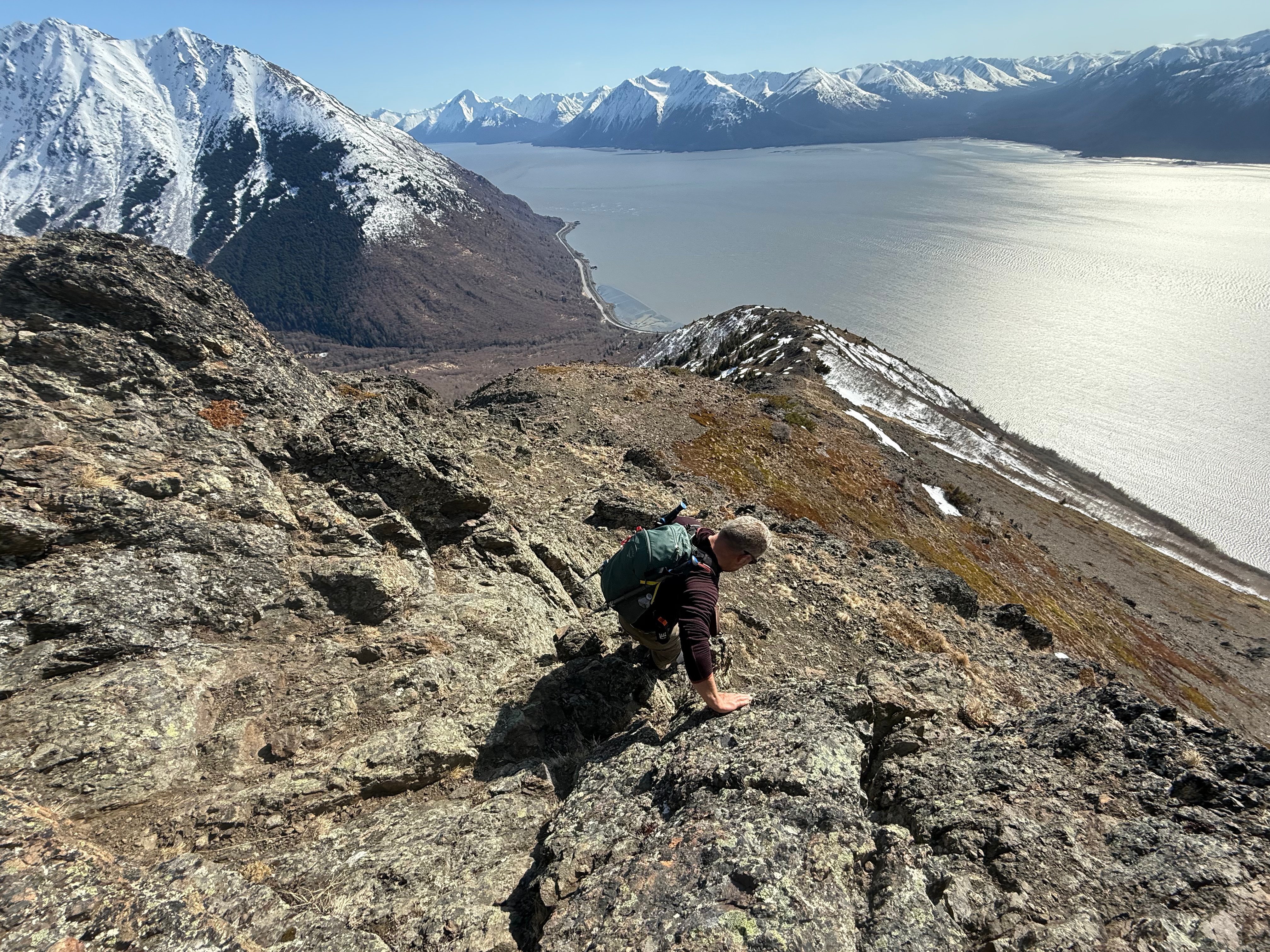
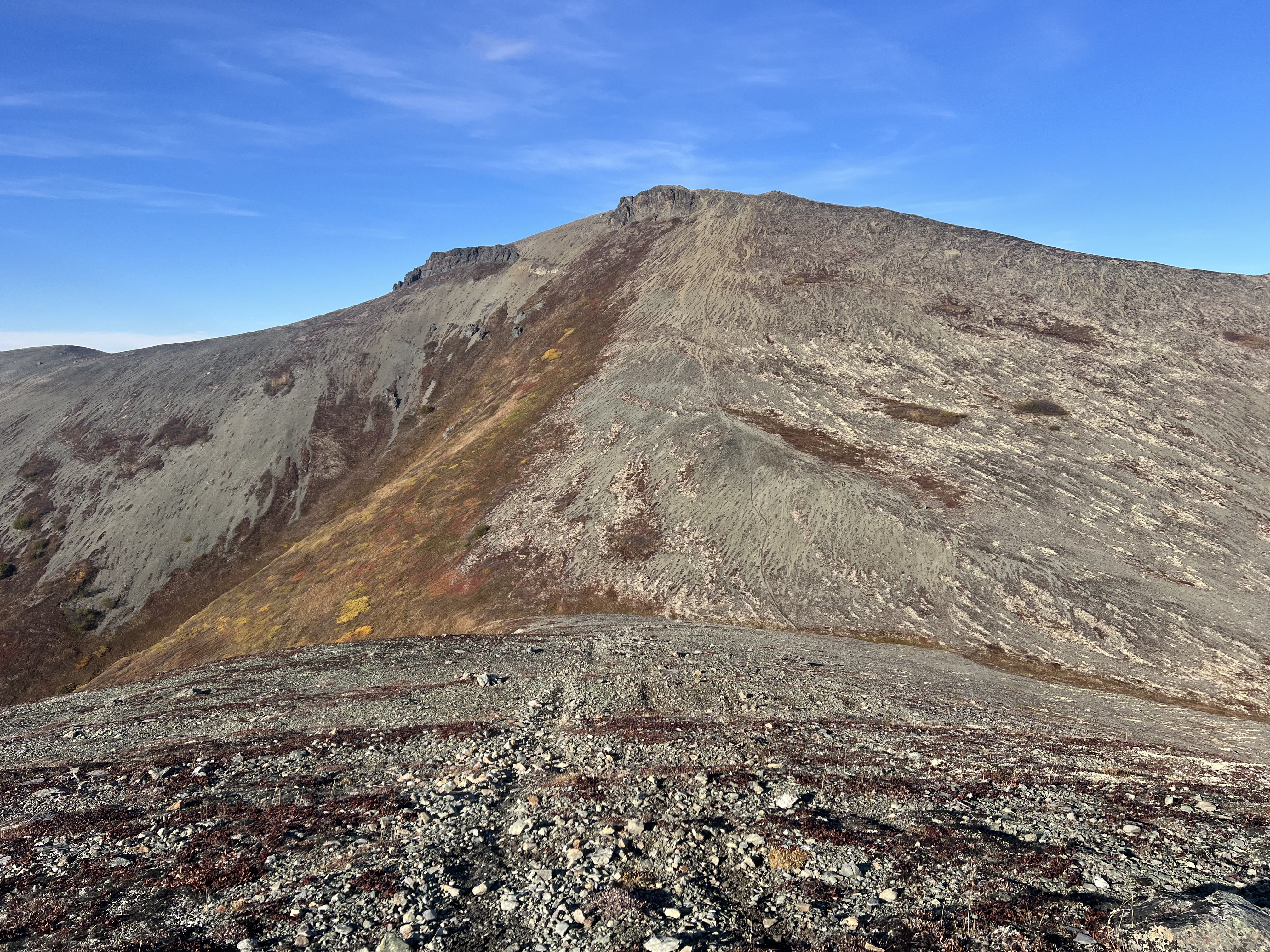
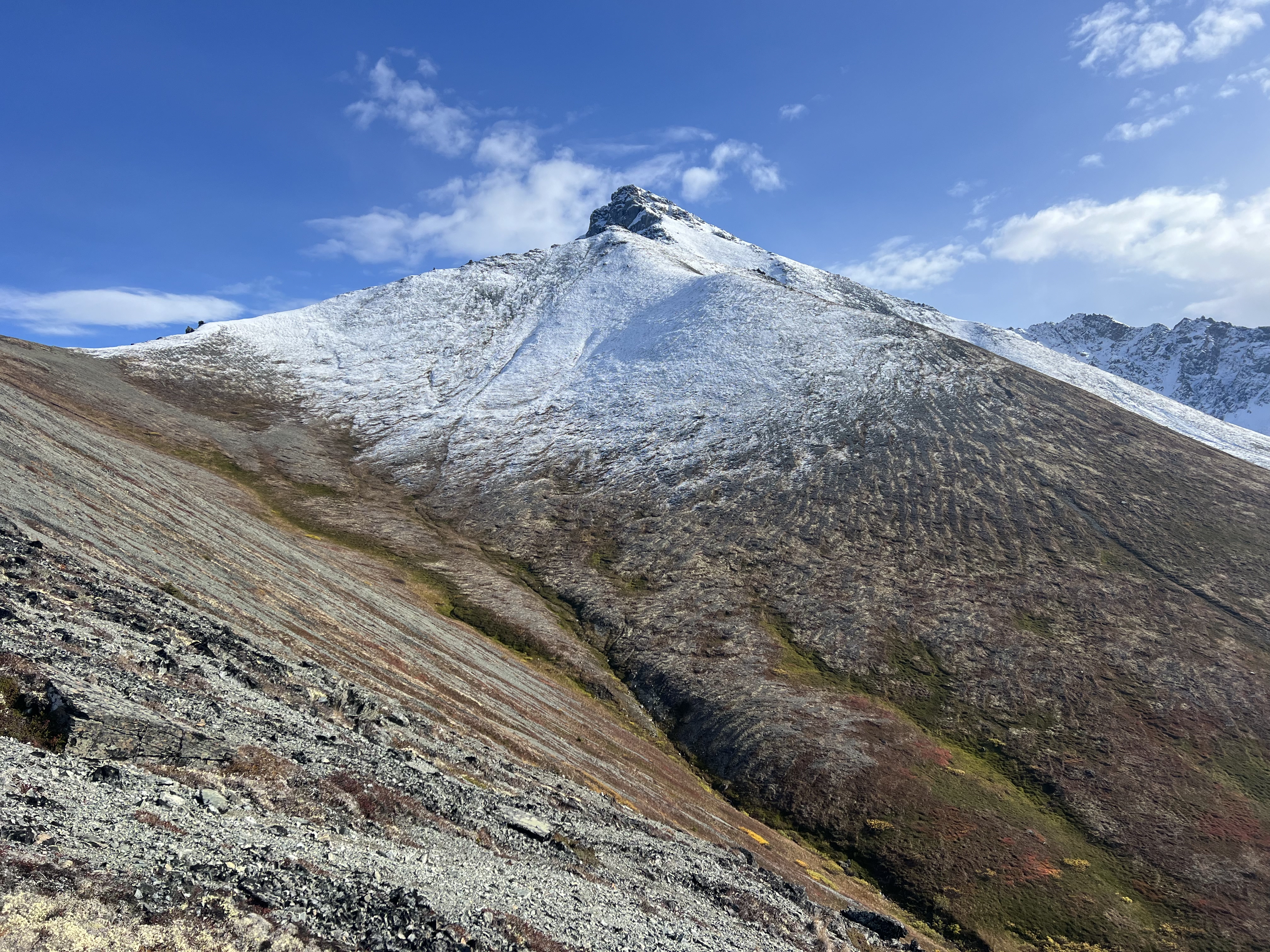
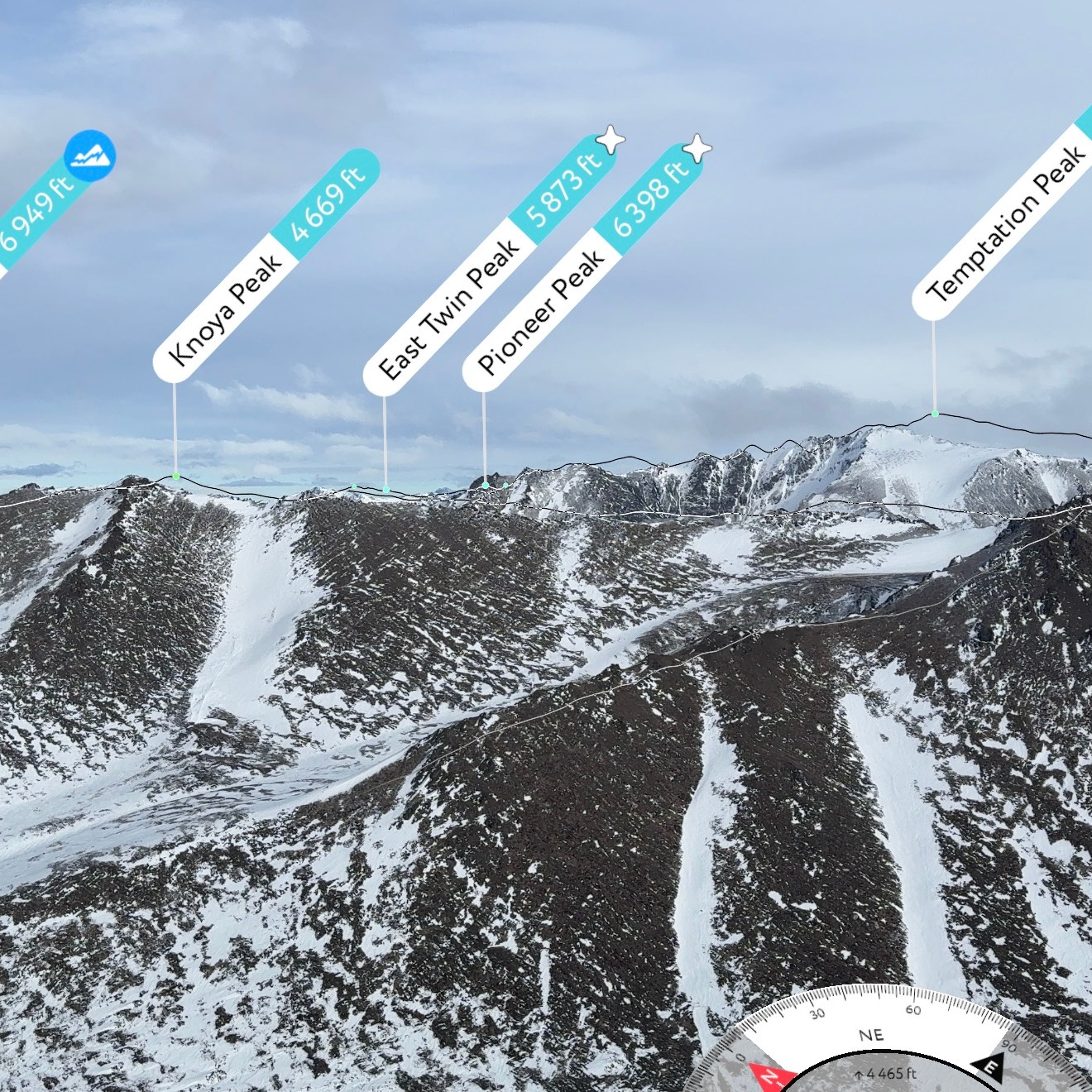
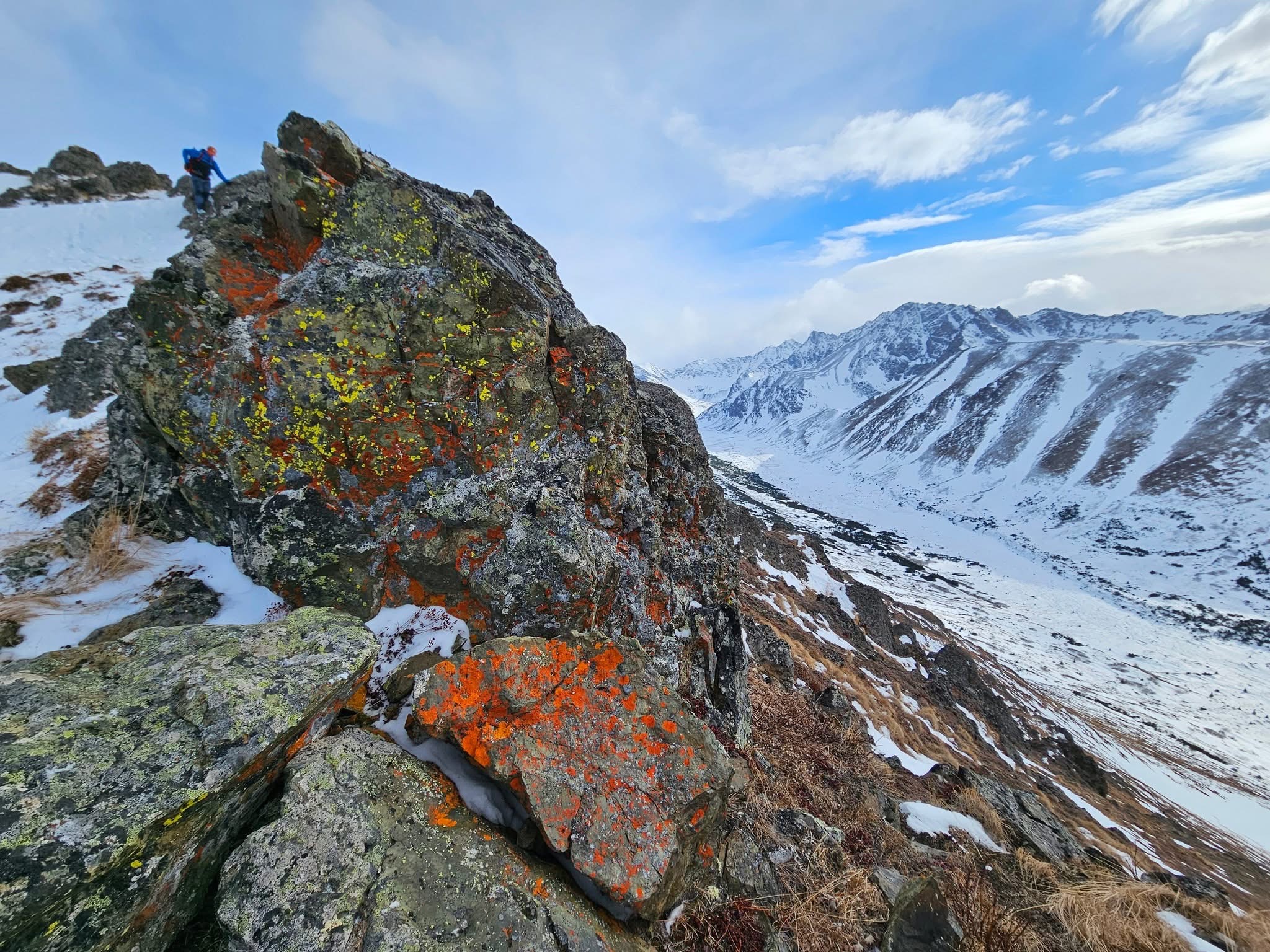
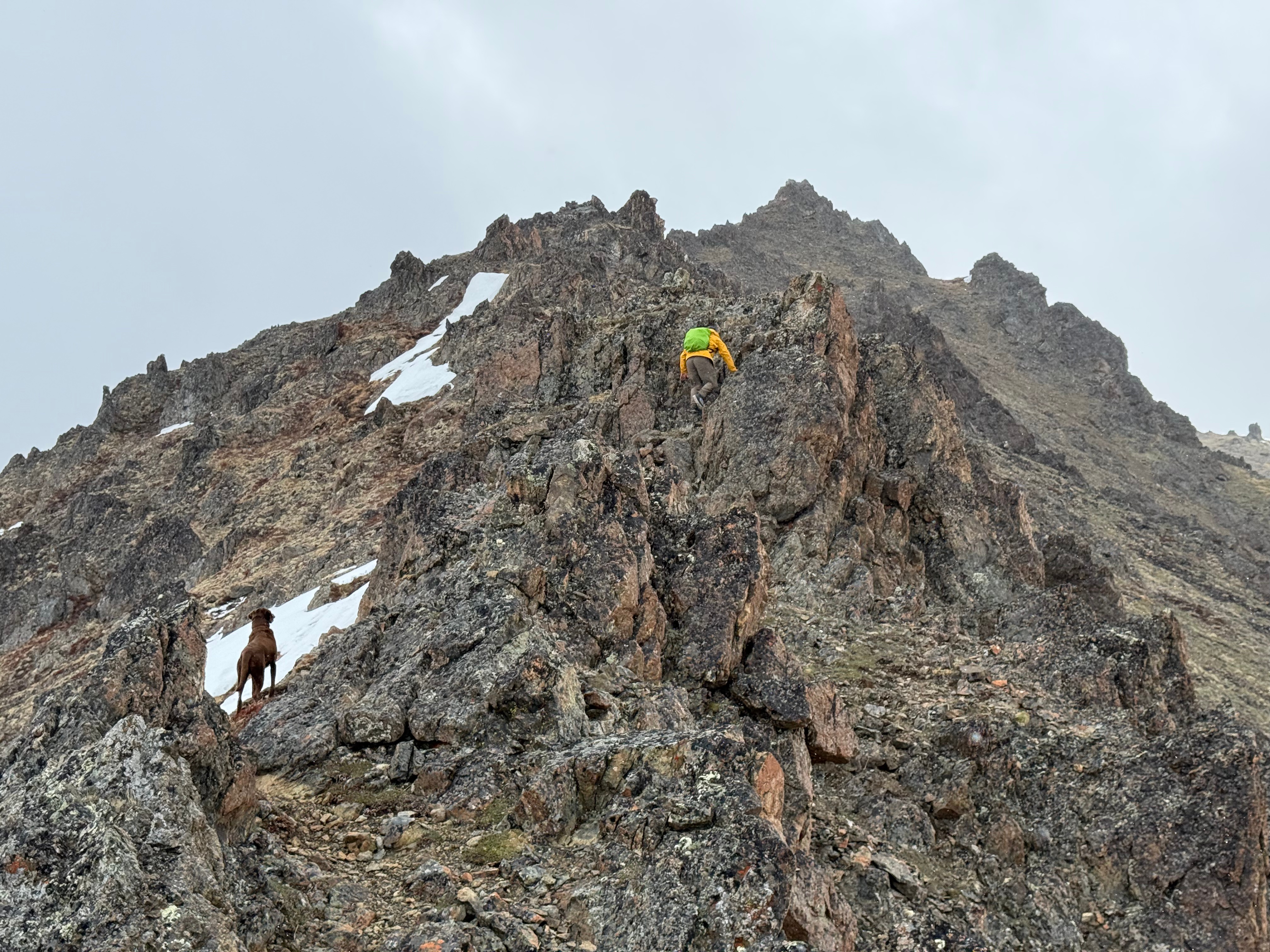
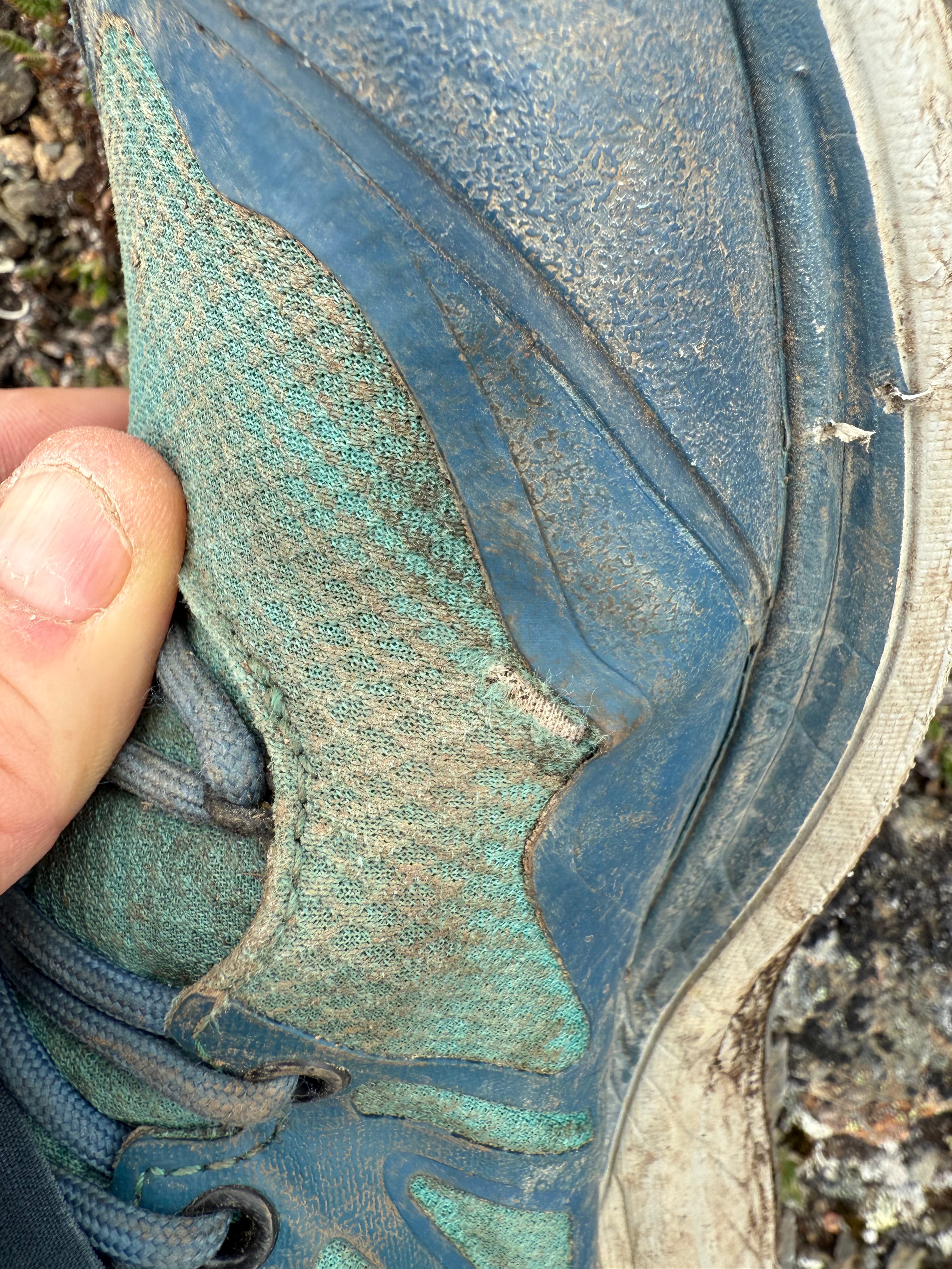
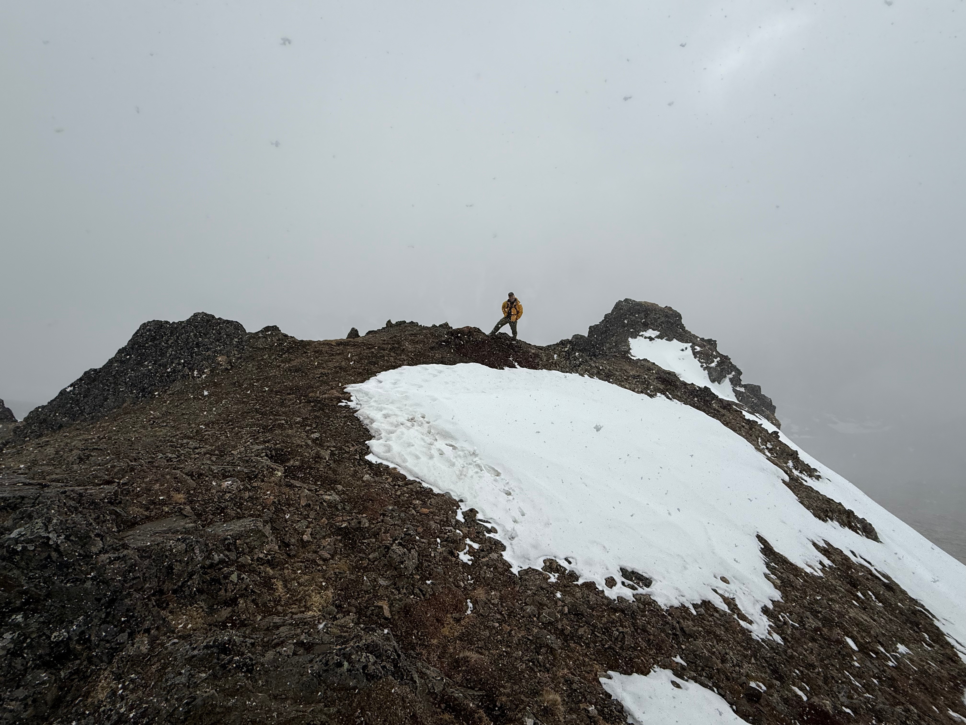
The true summit of Knoya is tucked away from the main ridgeline, so as we approached what seemed to be the peak at around mile 4.8, we veered just south of the intersection of the ridges leading to The Dome and Kanchee, traversing the south-facing slopes. There’s little risk here, aside from the jagged rocks—one of which managed to slice through my shoe when I misstepped. Thankfully, my Topos took the damage and my foot was fine.

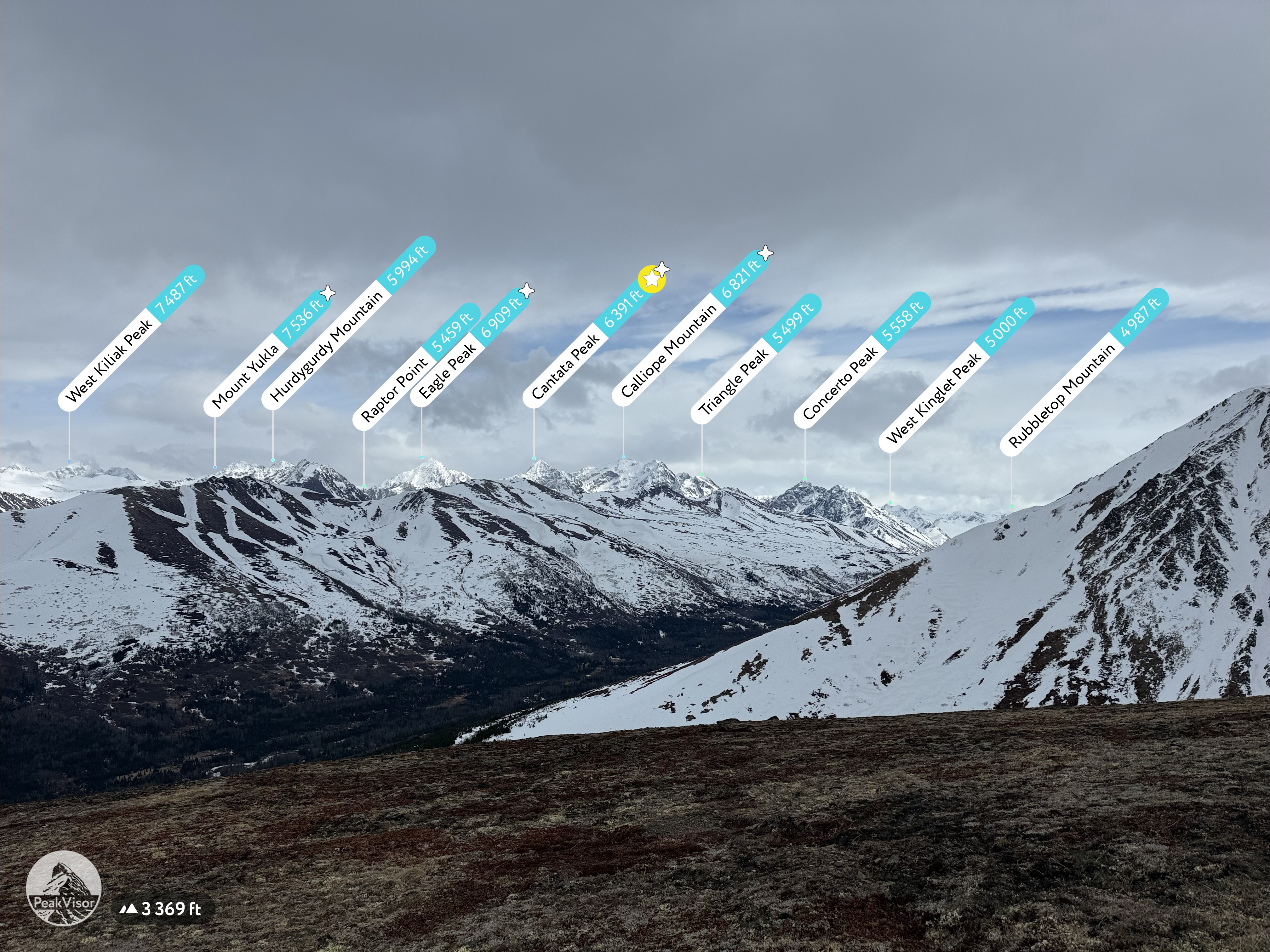
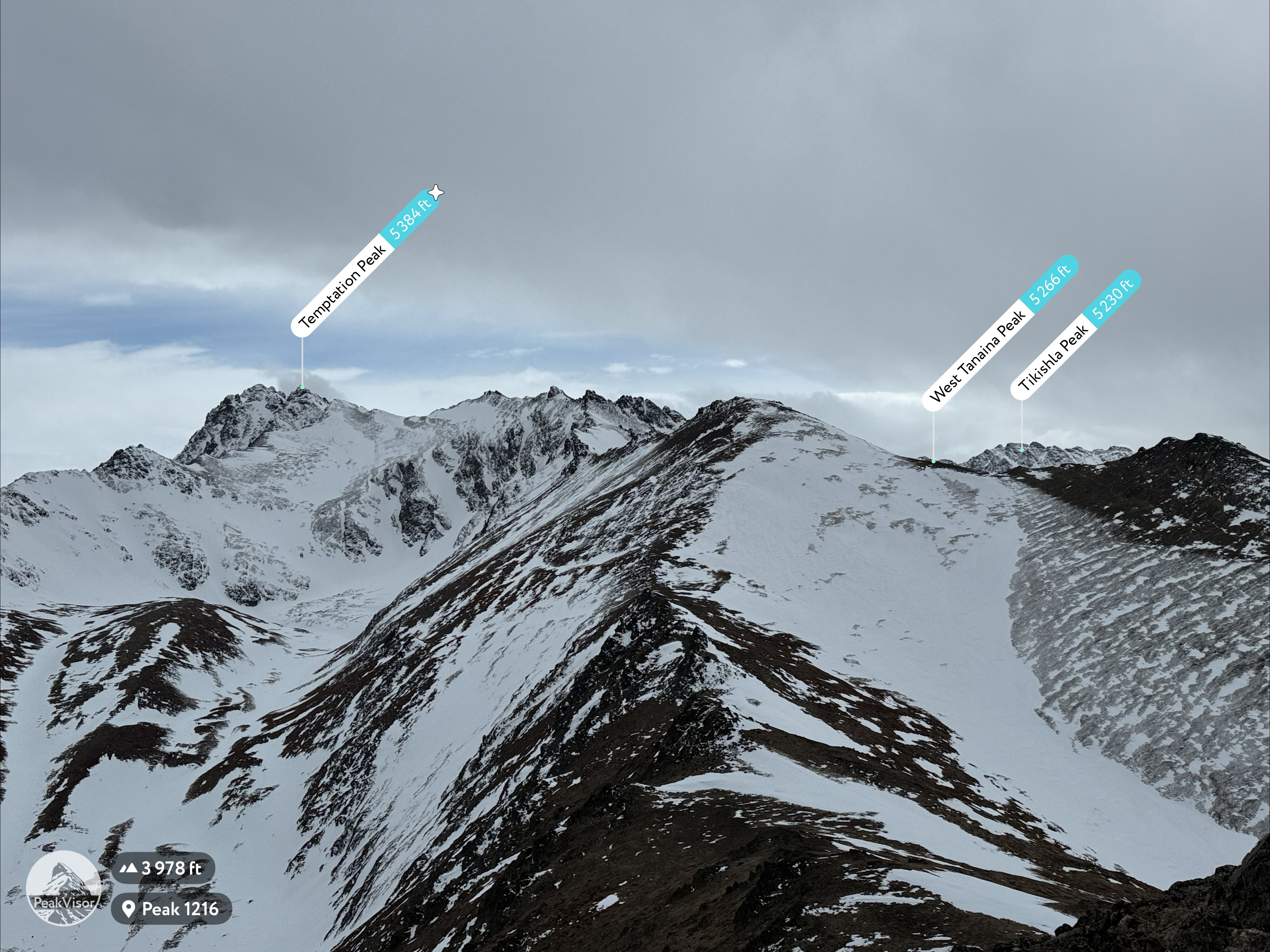
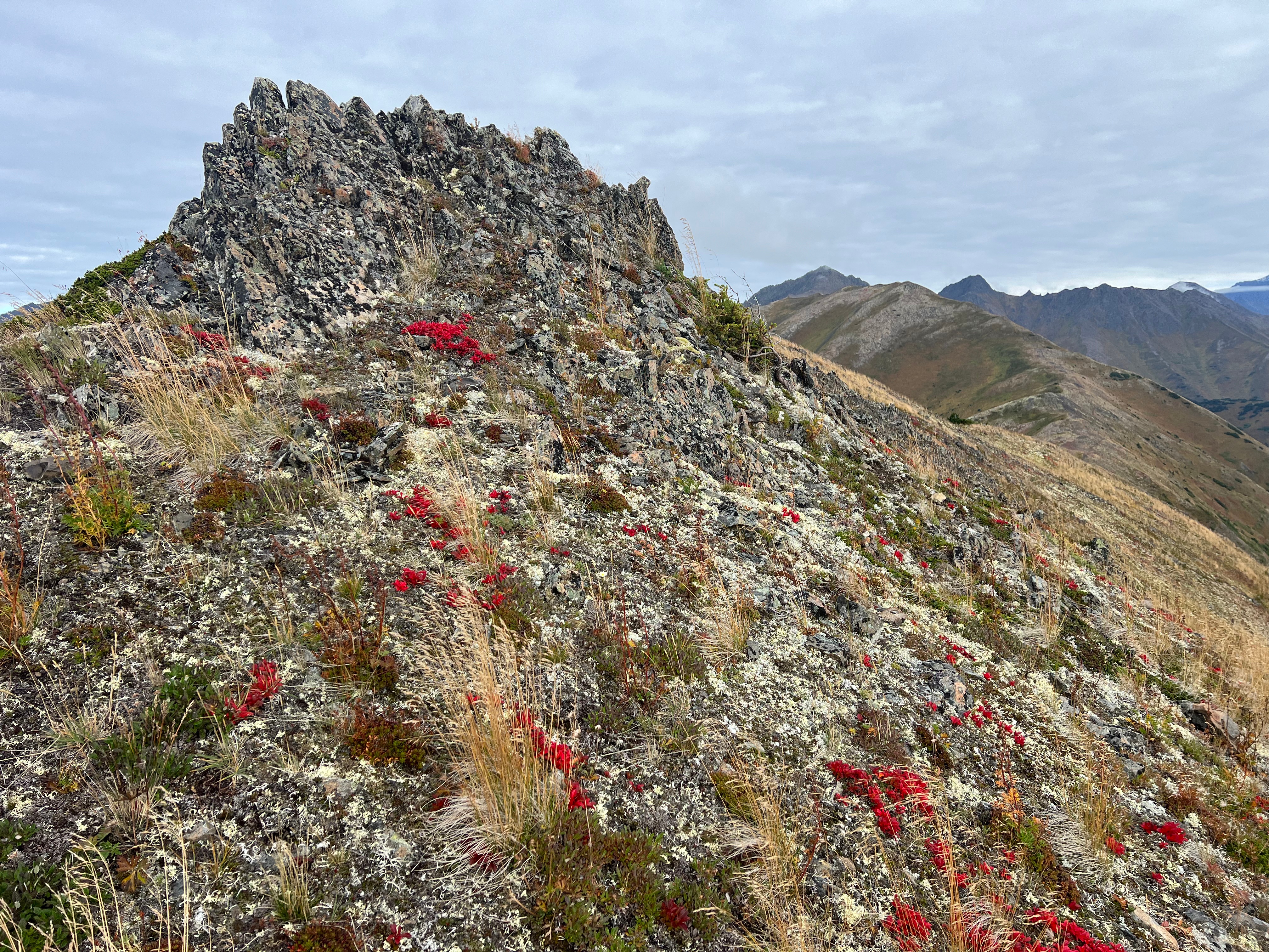
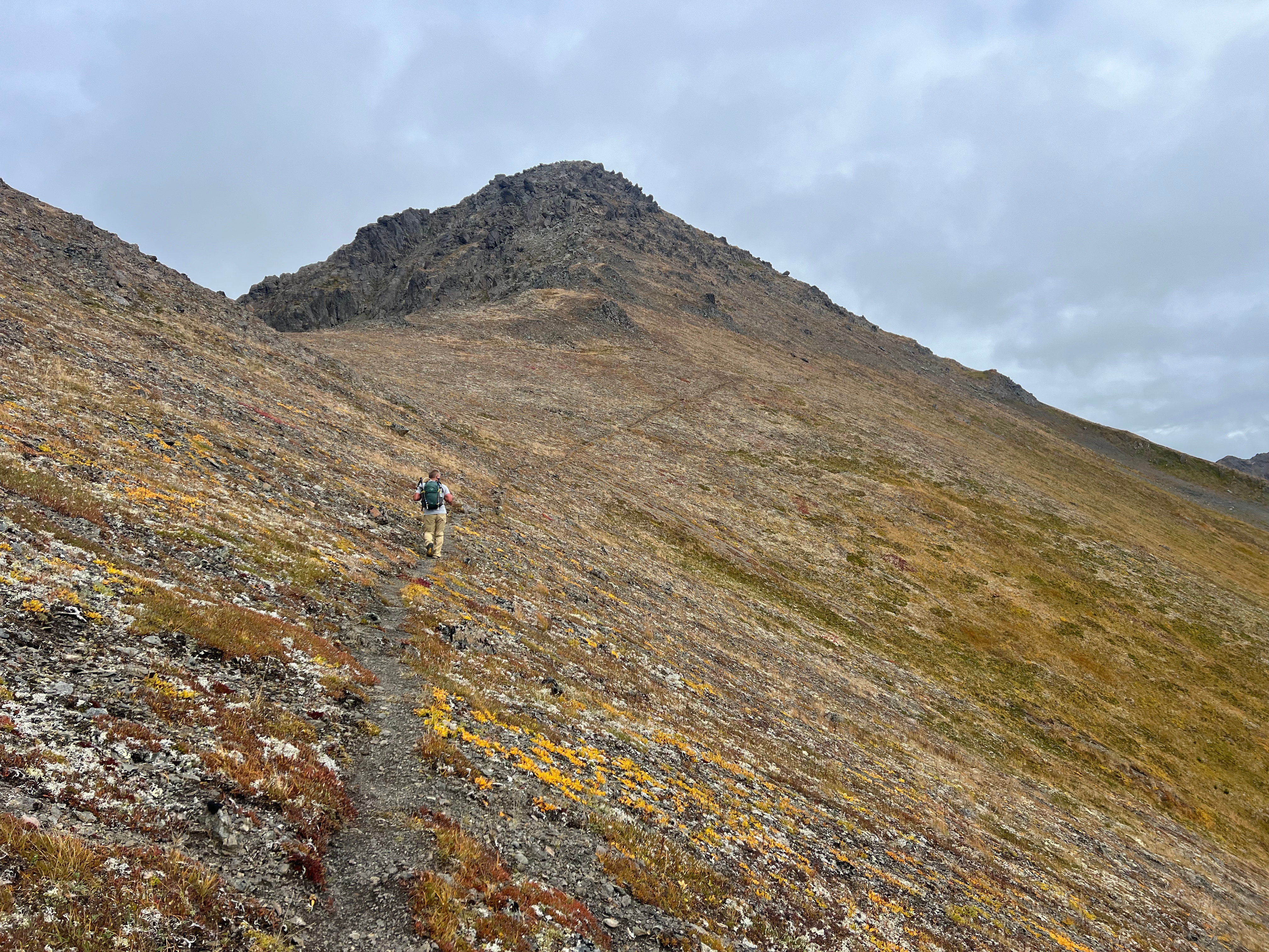
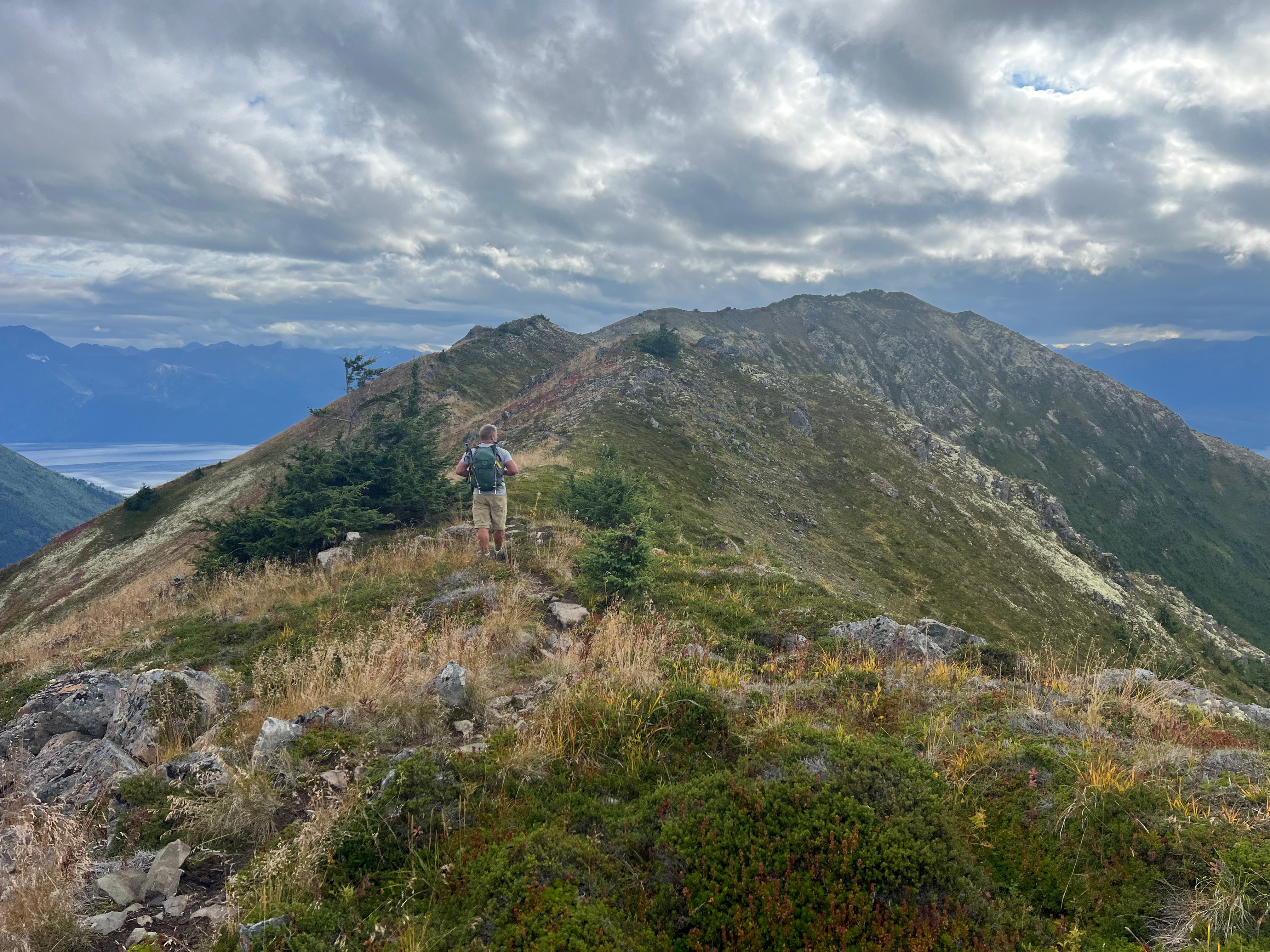
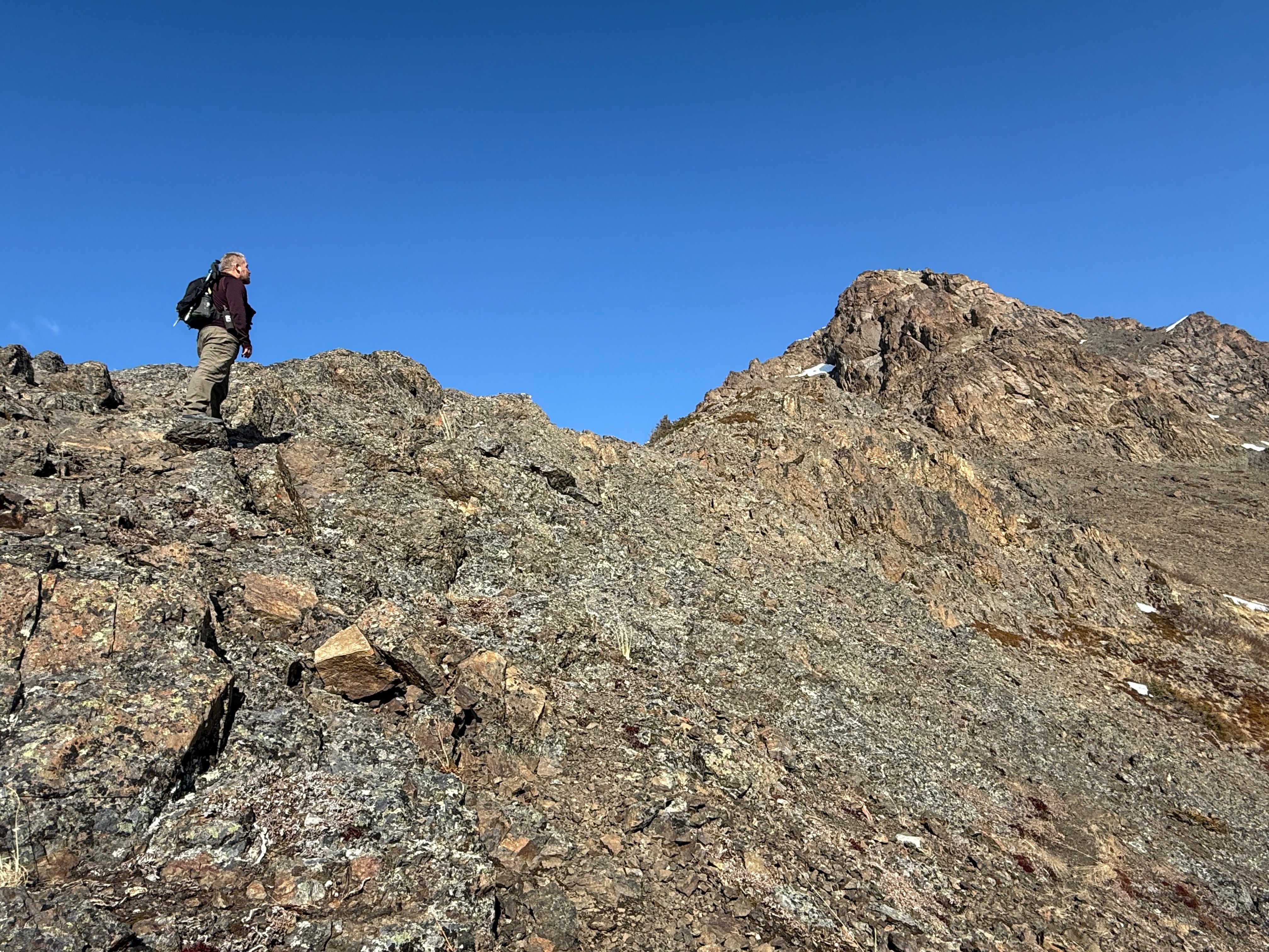
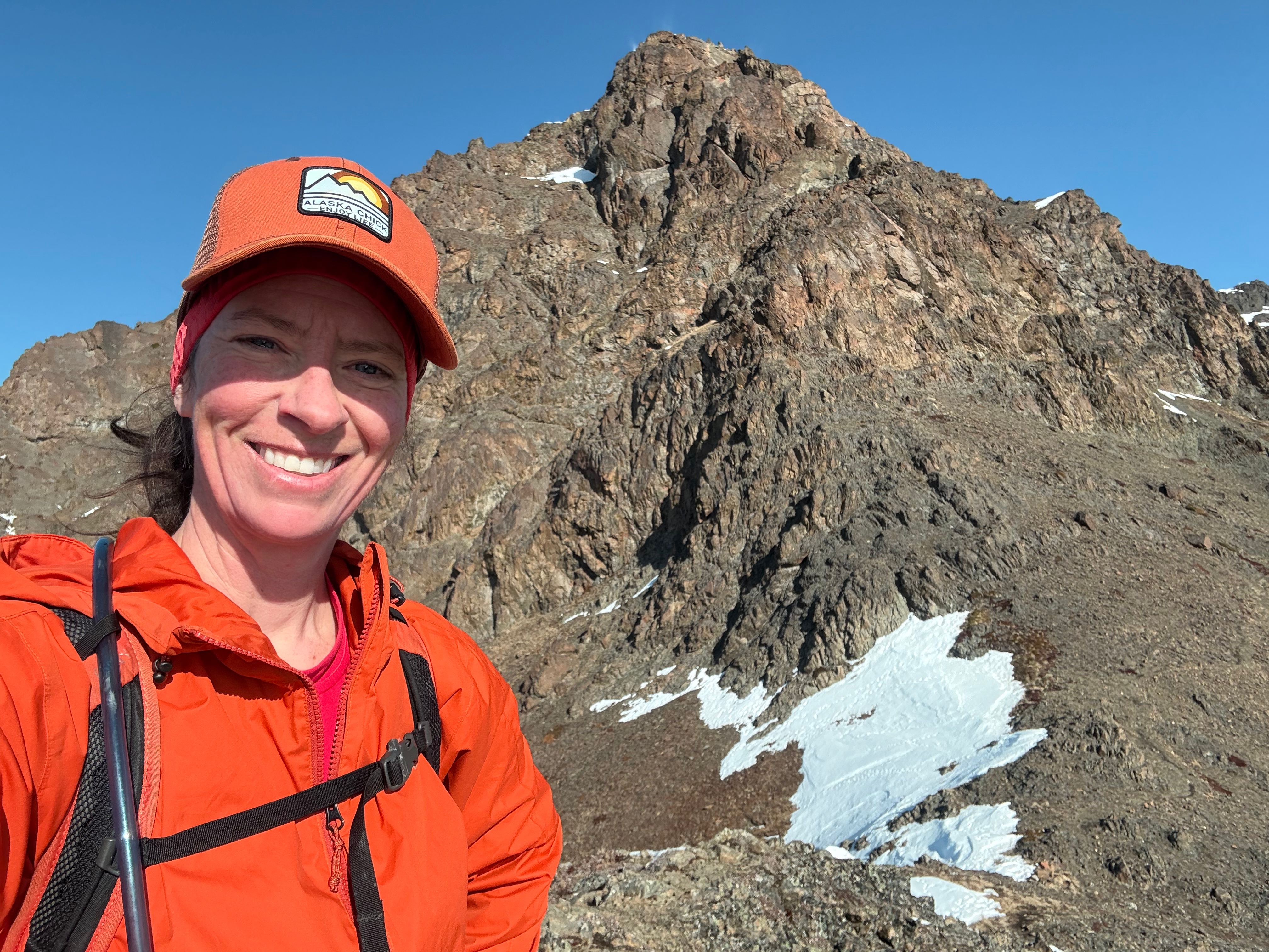
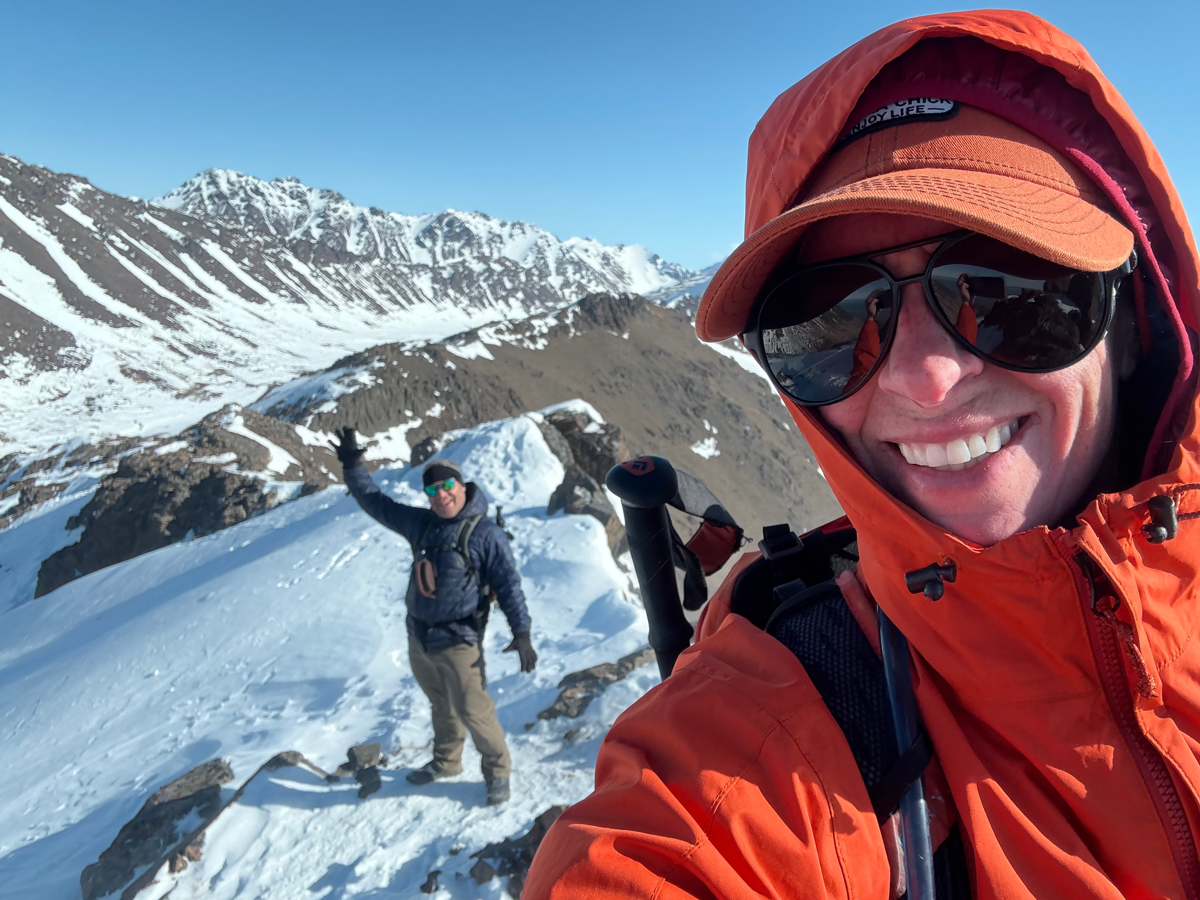
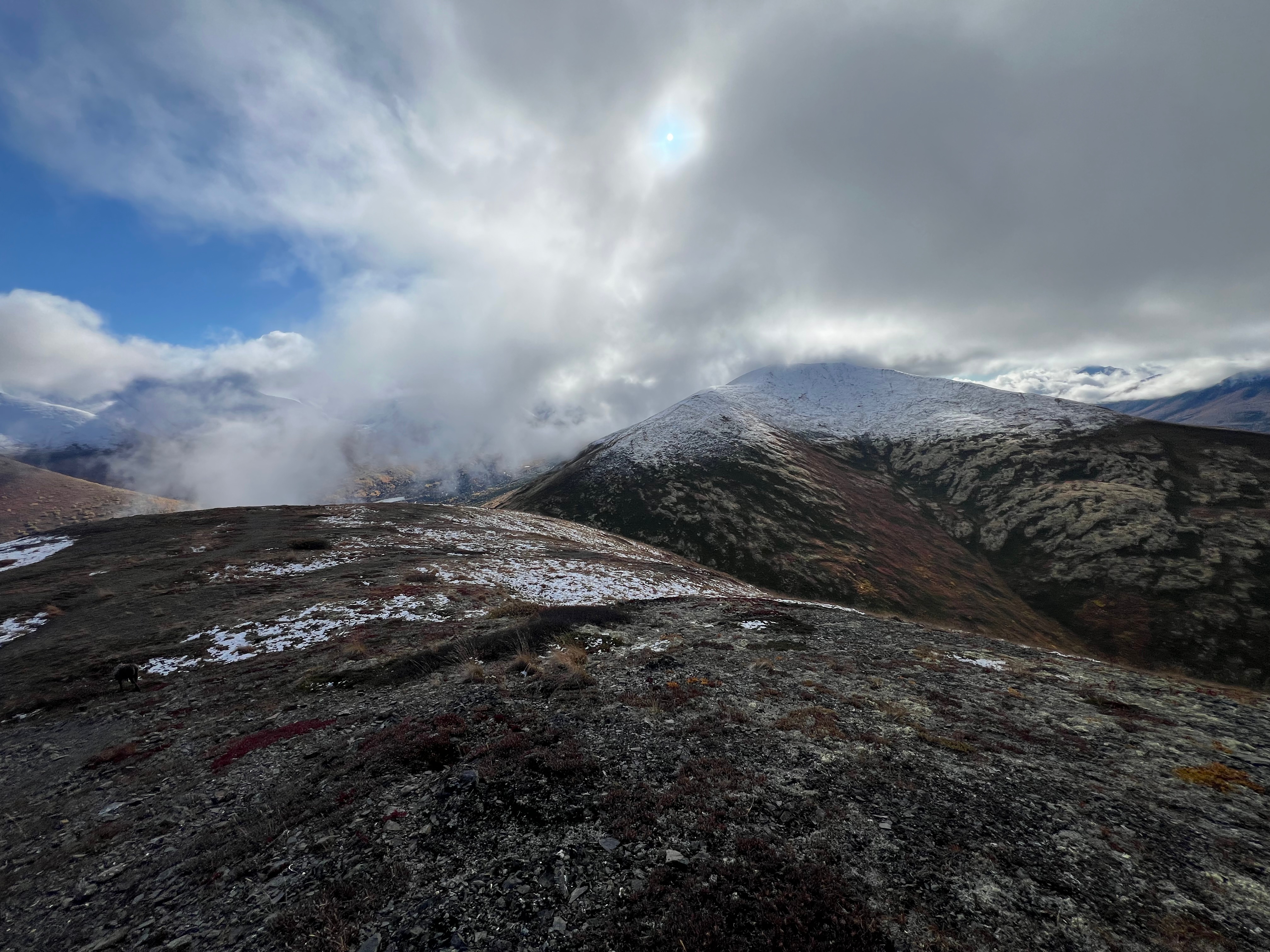
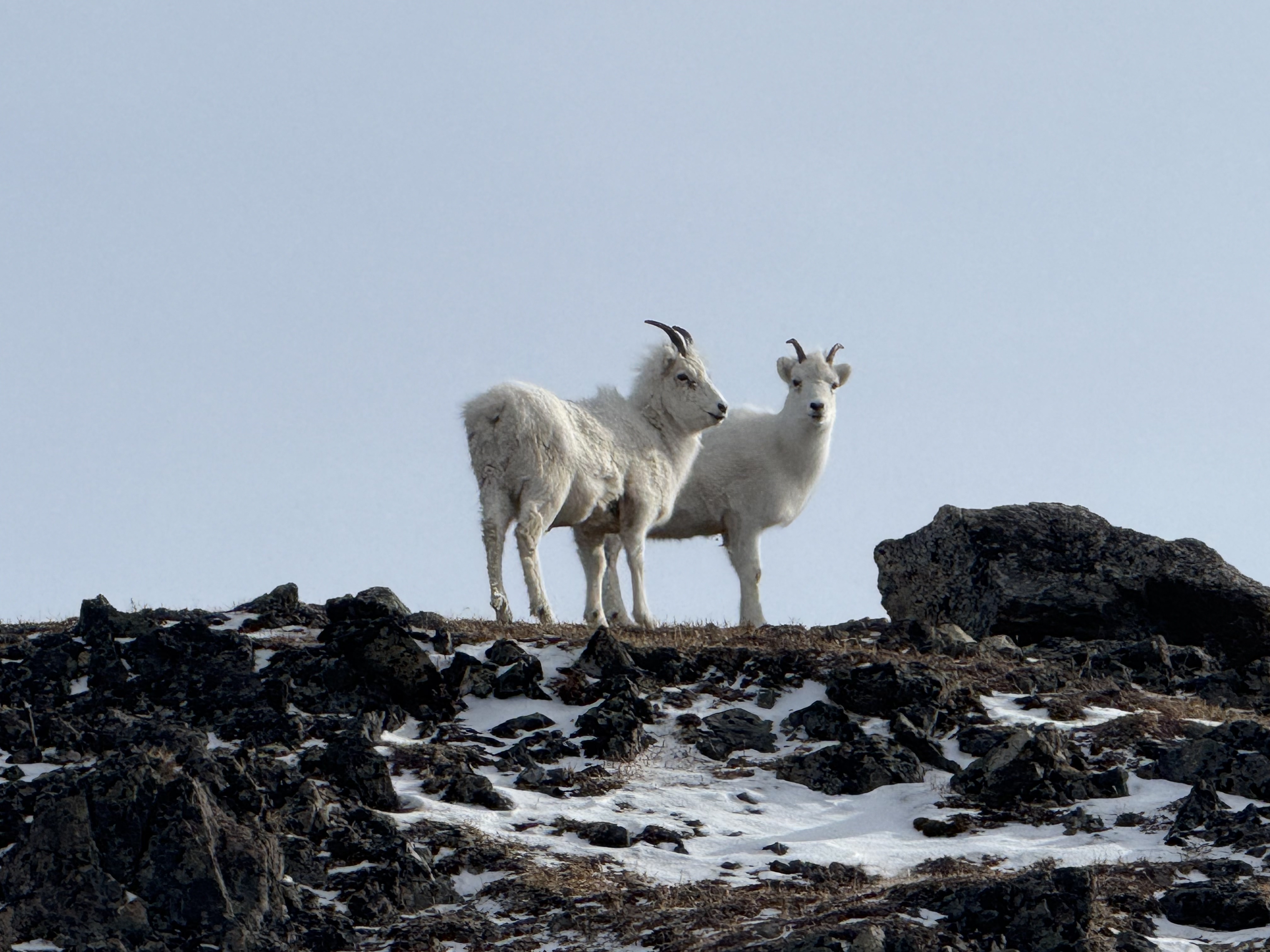
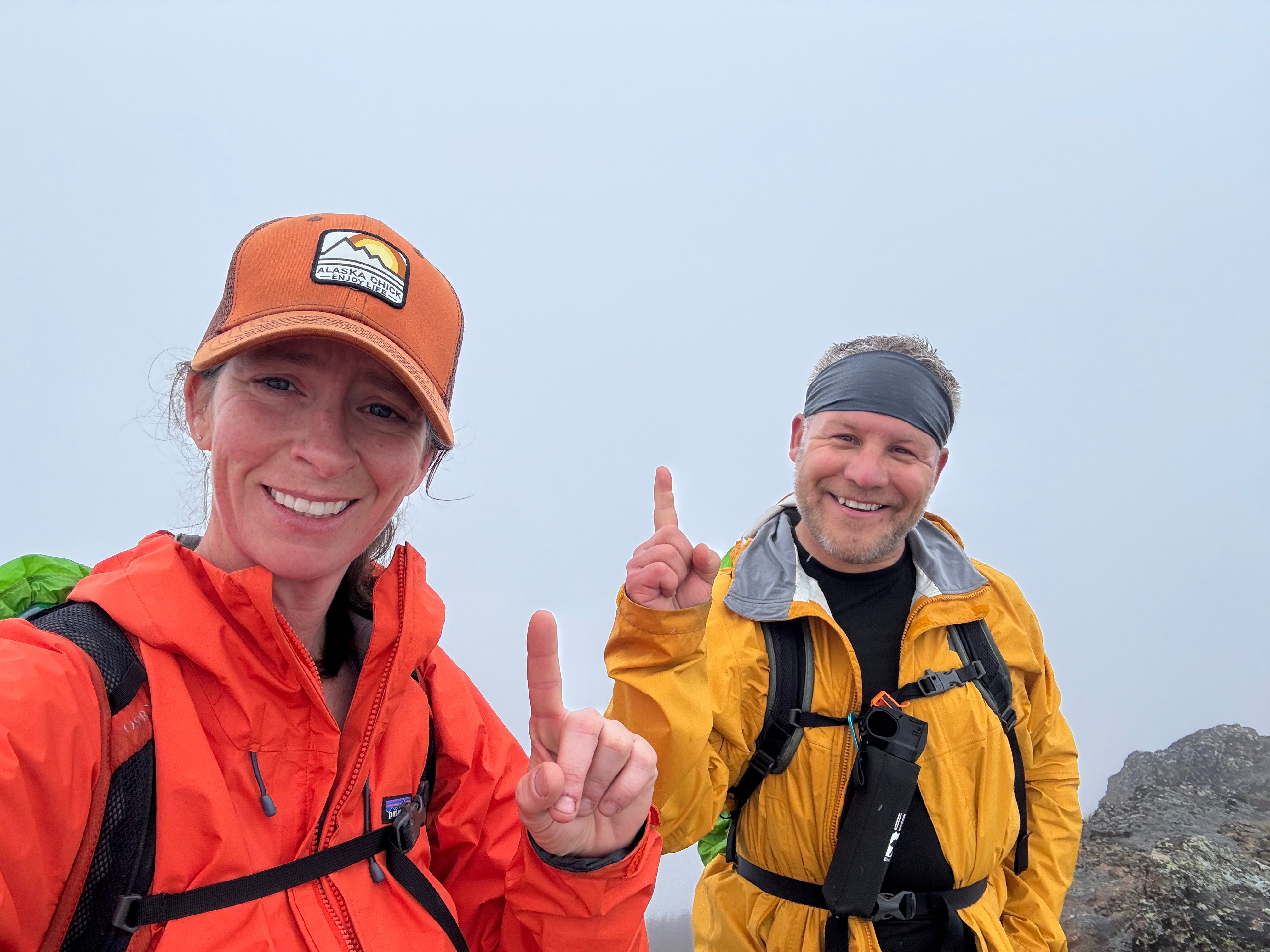
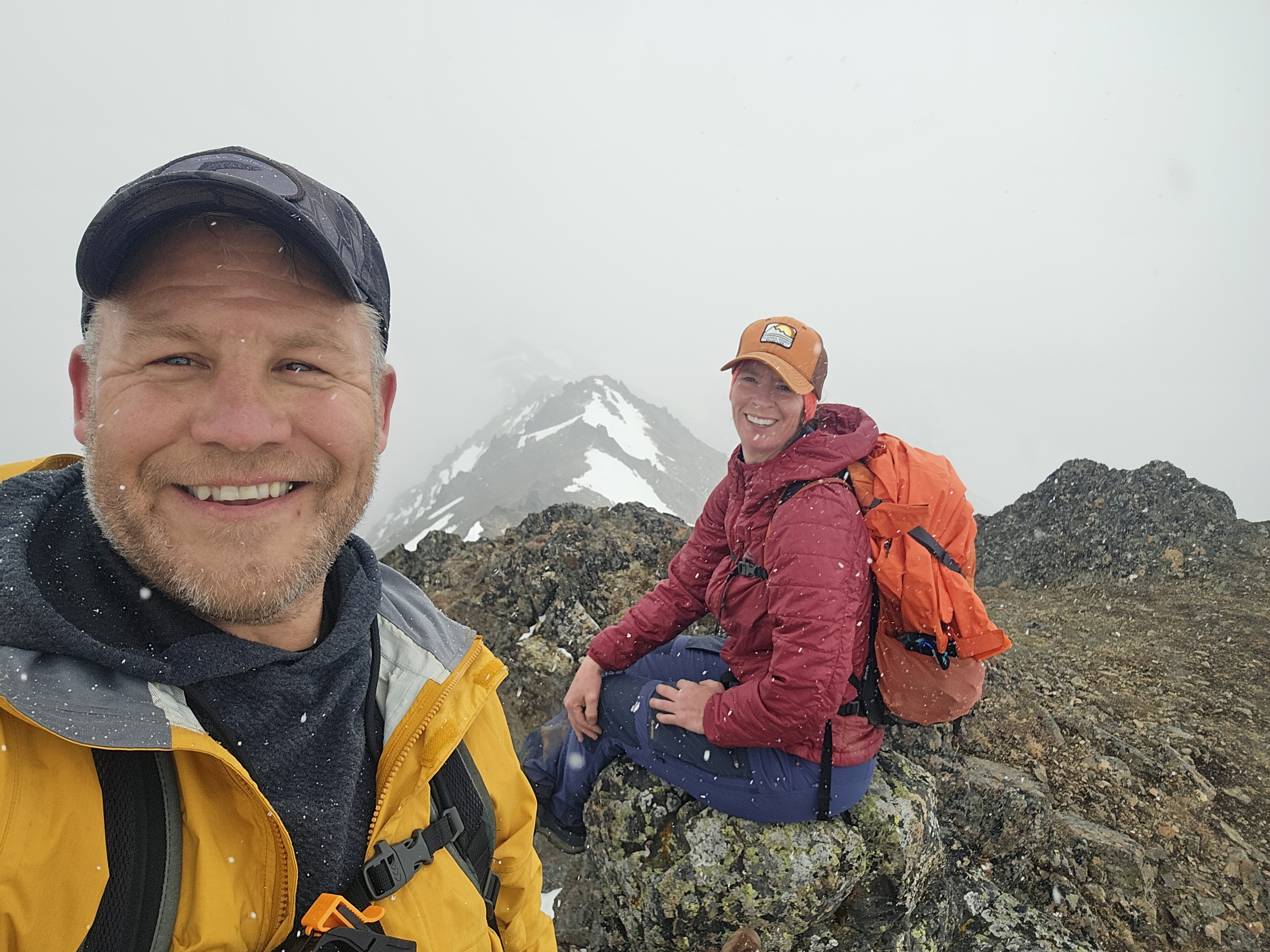
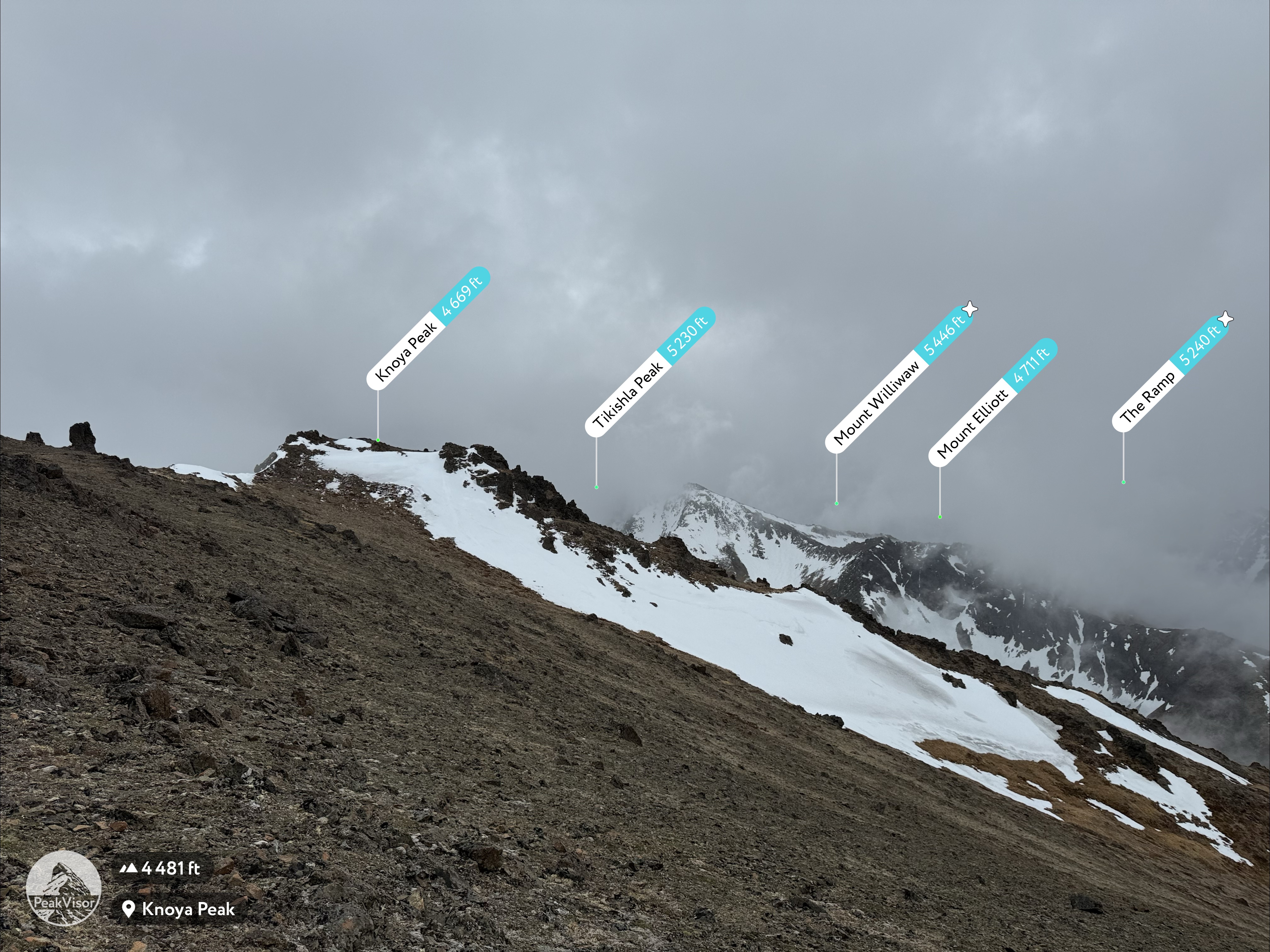
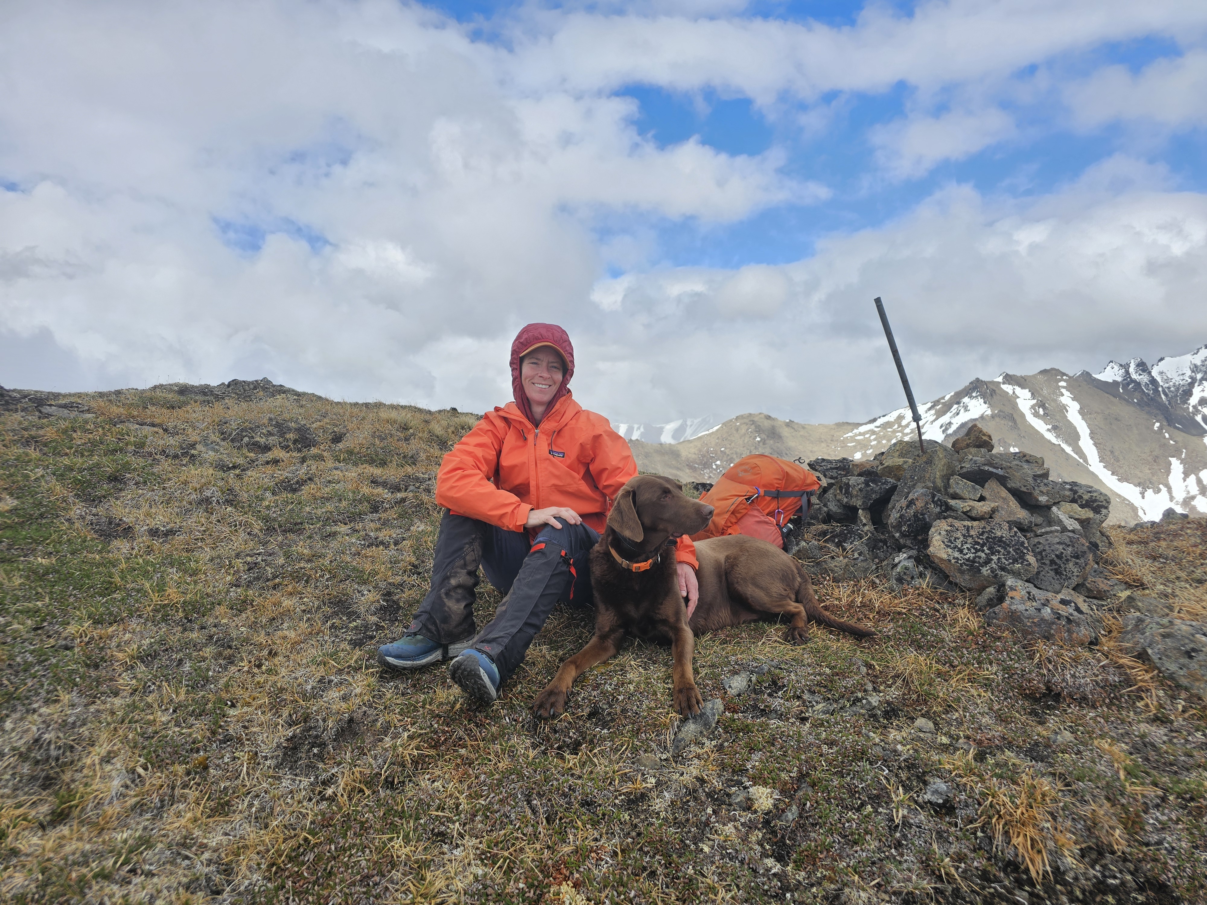
Knoya’s actual summit came into view less than a quarter mile to the east, at the far end of the south-facing slope. Tikishla and the surrounding peaks were still hidden in clouds, and as we stepped onto the summit, it began to snow—typical for late May or early June, and far more tolerable than the rain we’d started in.
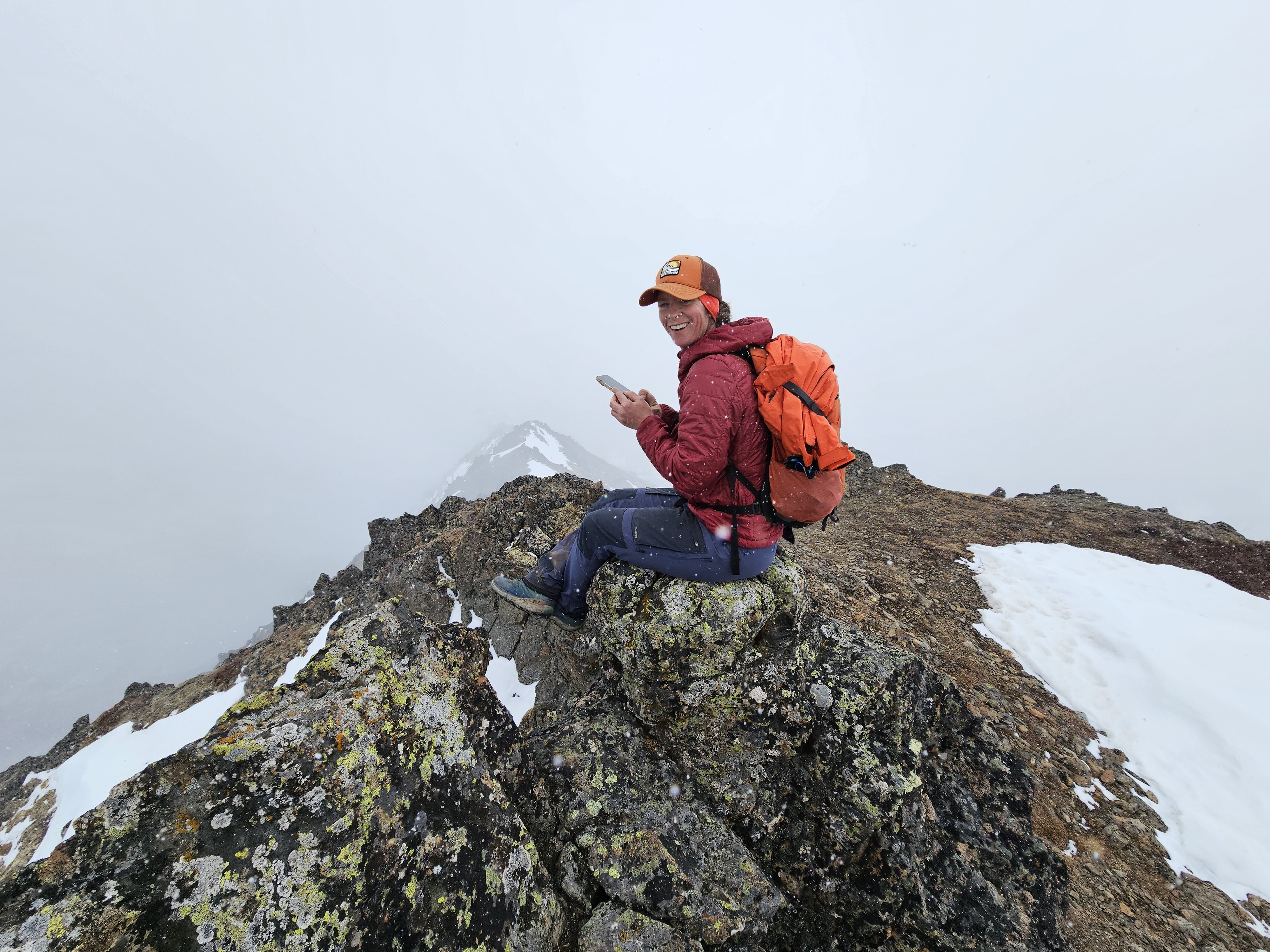


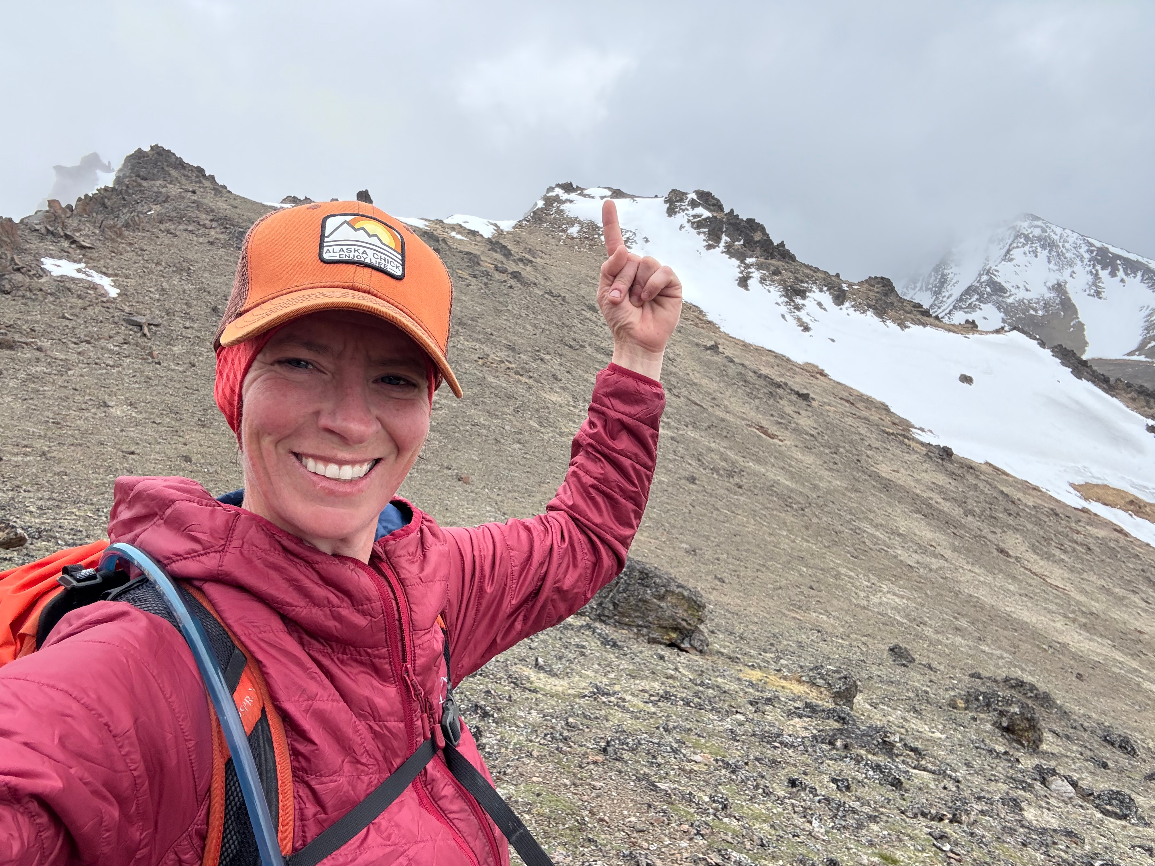
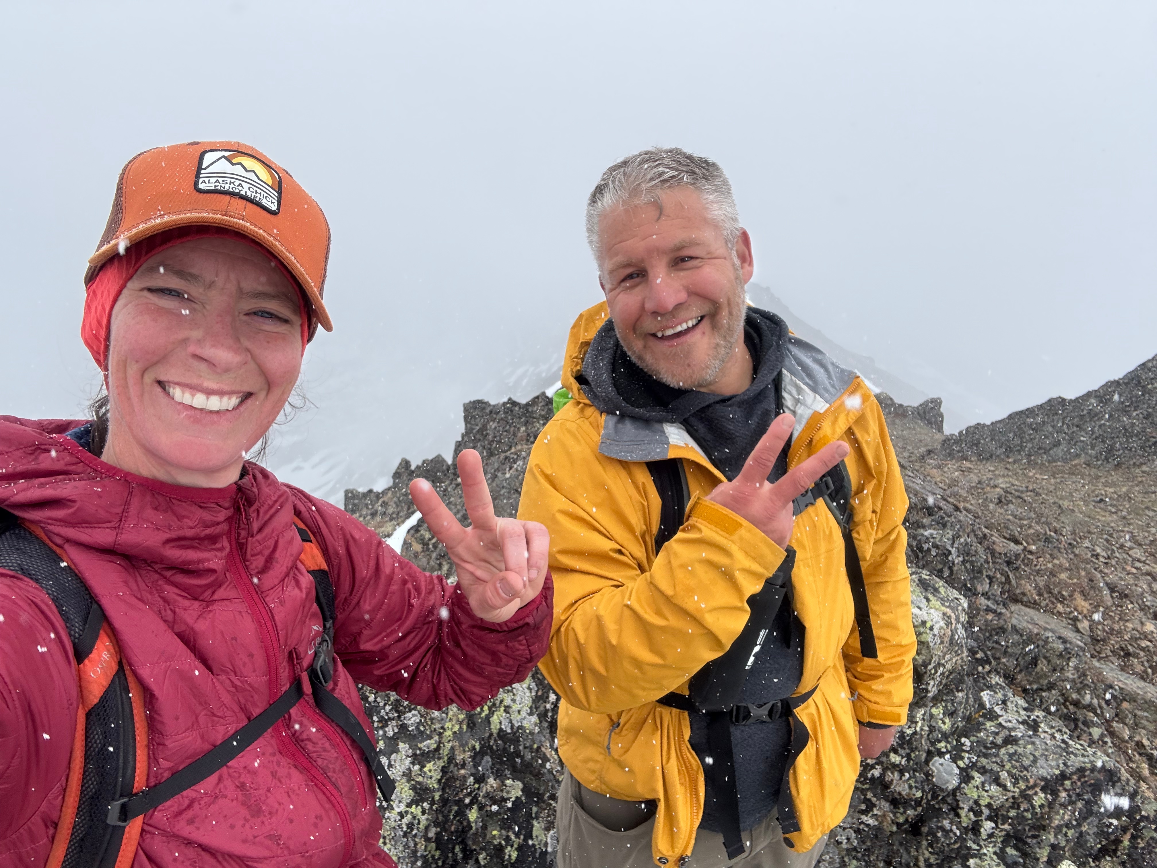
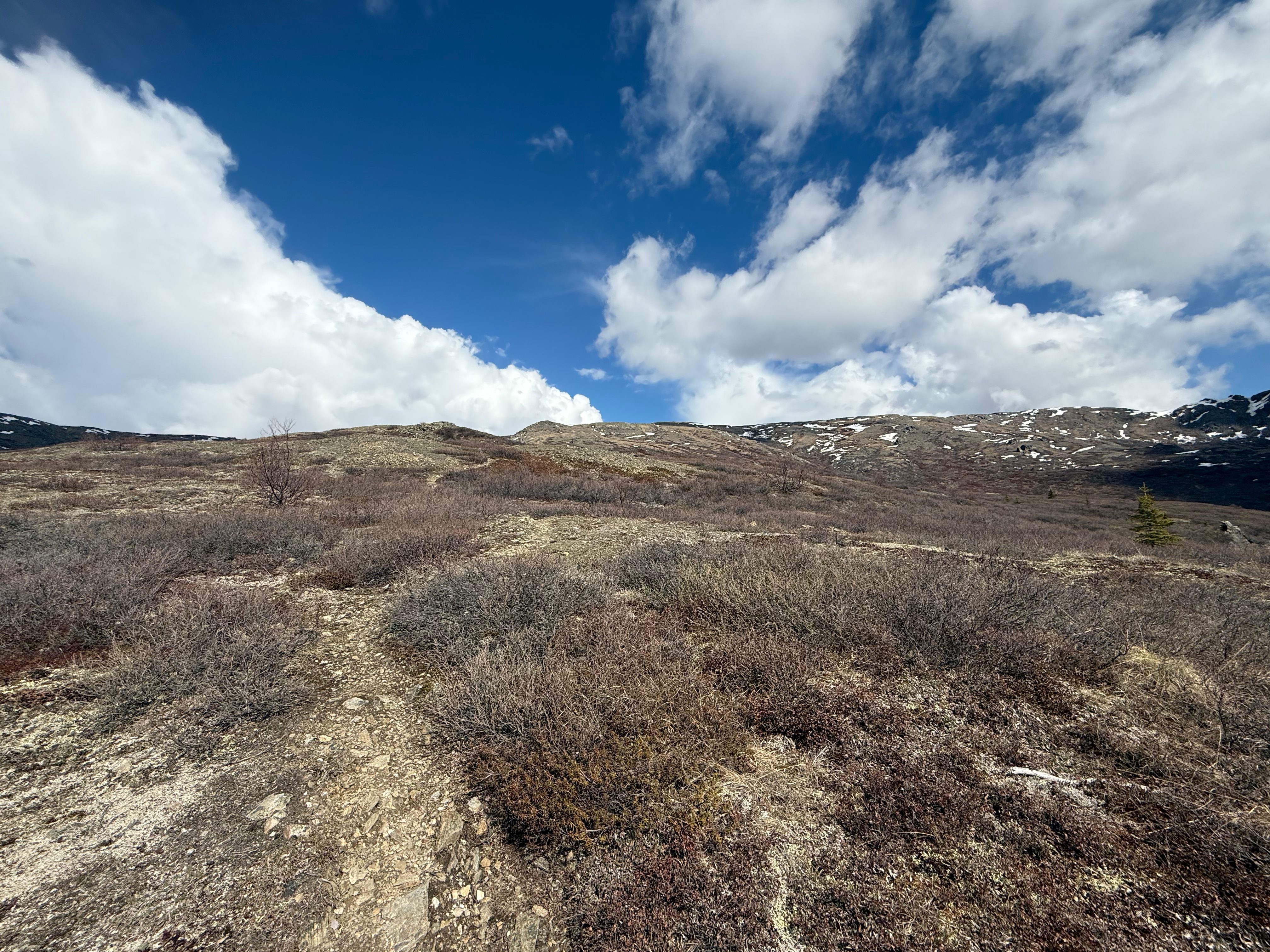
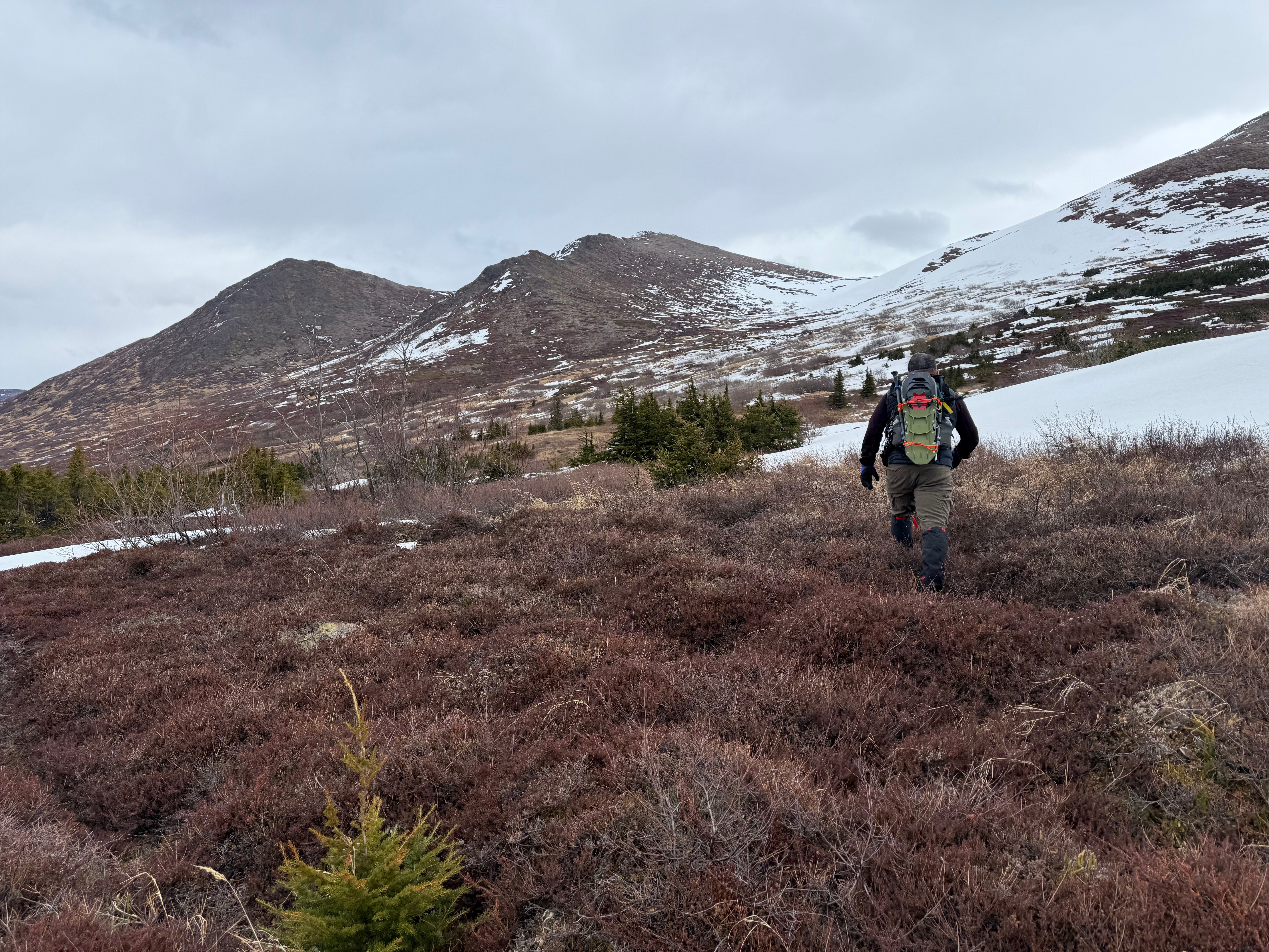
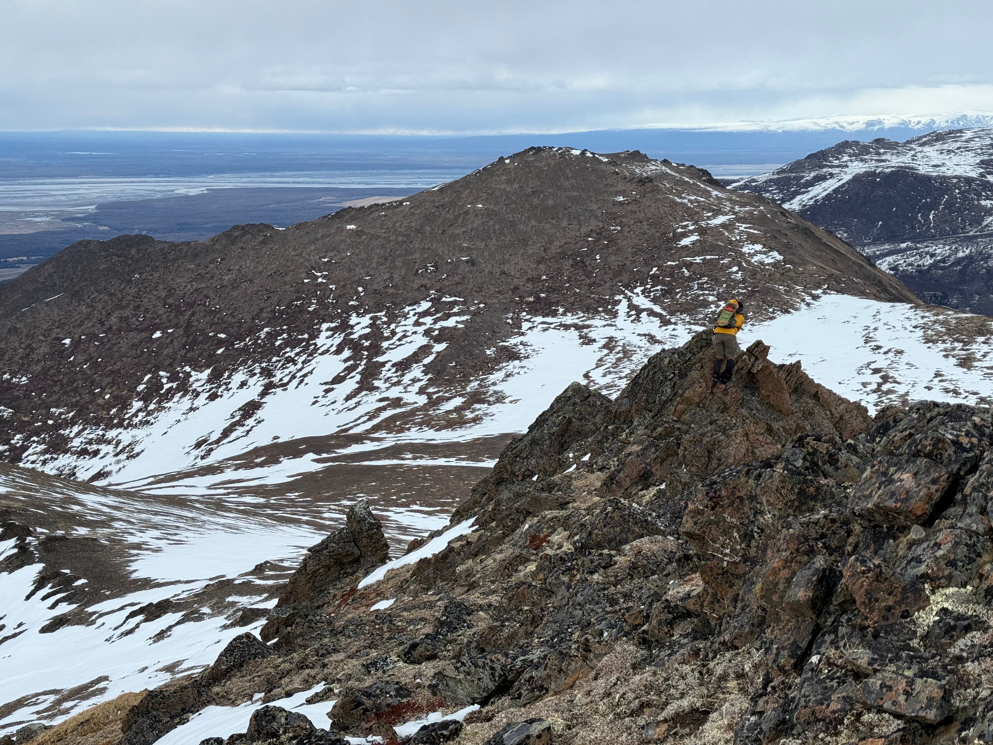
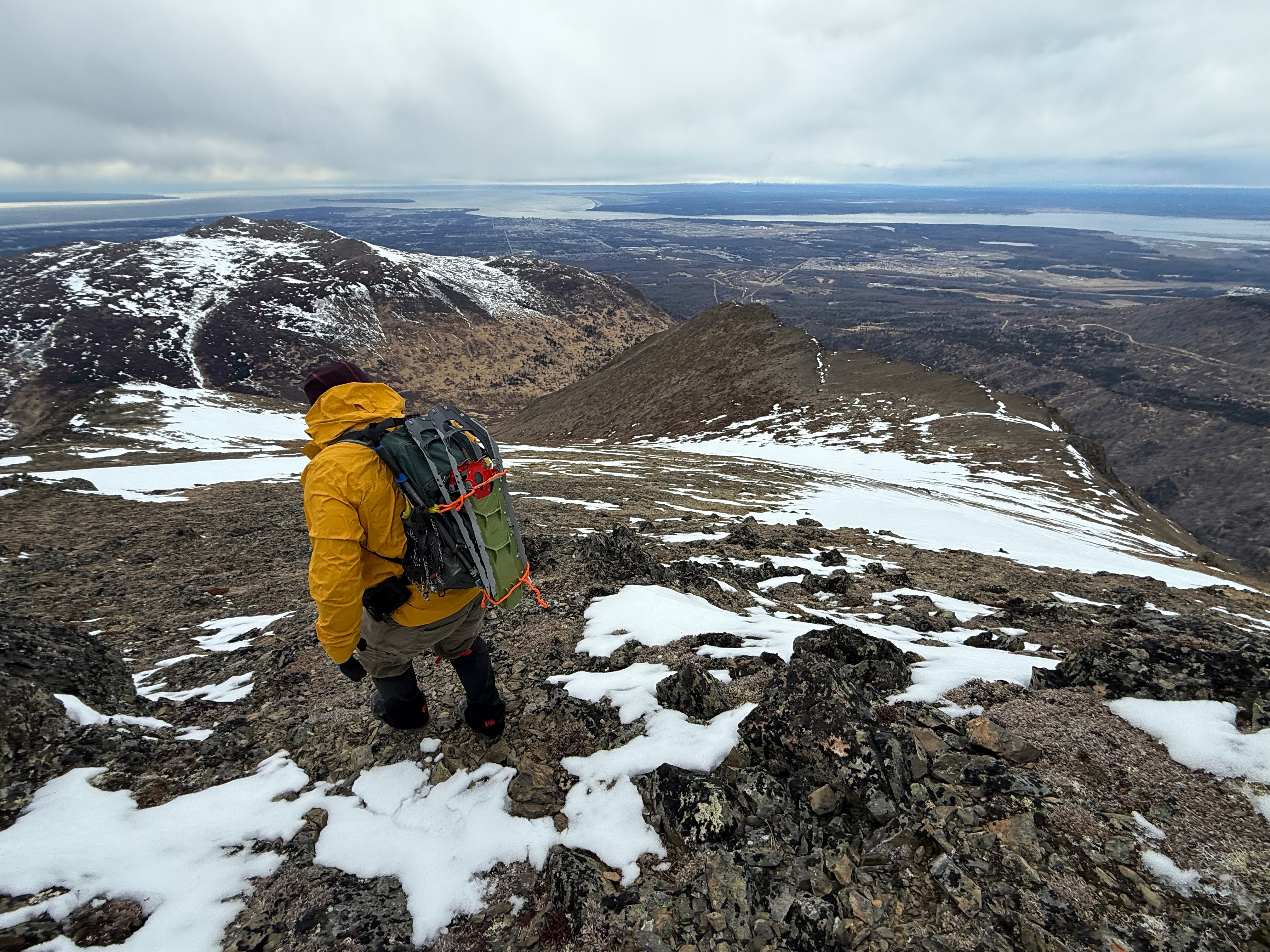
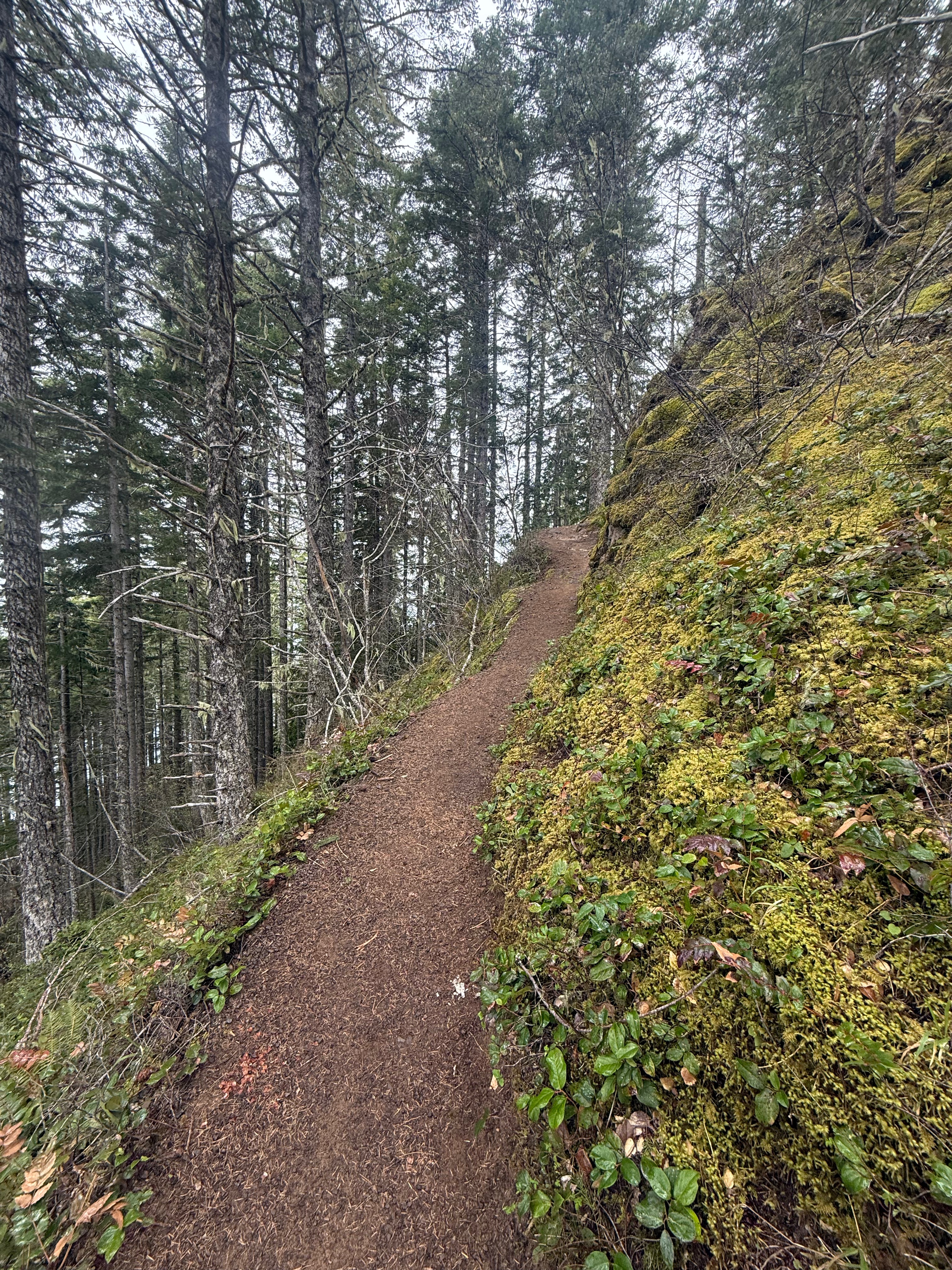
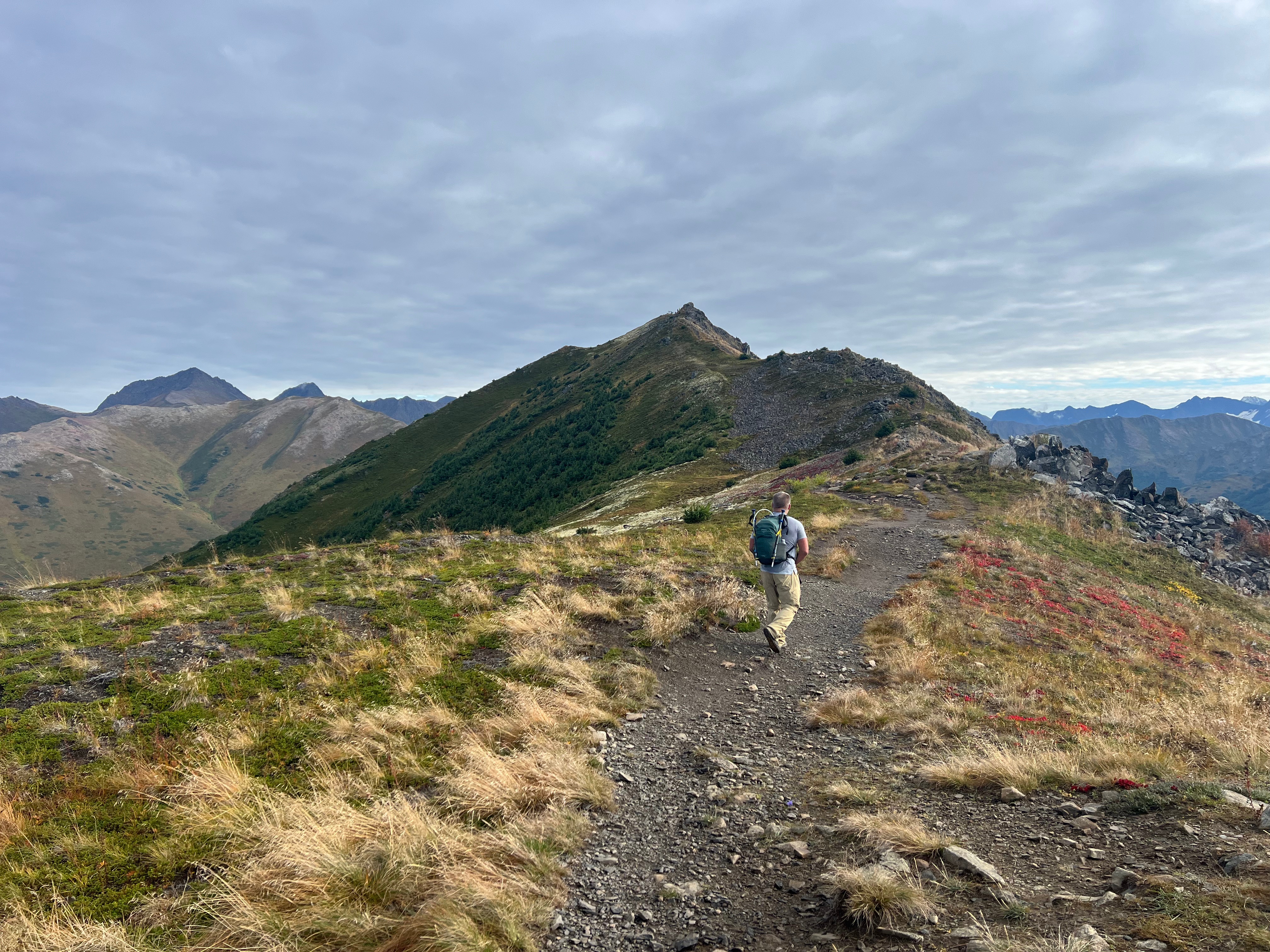
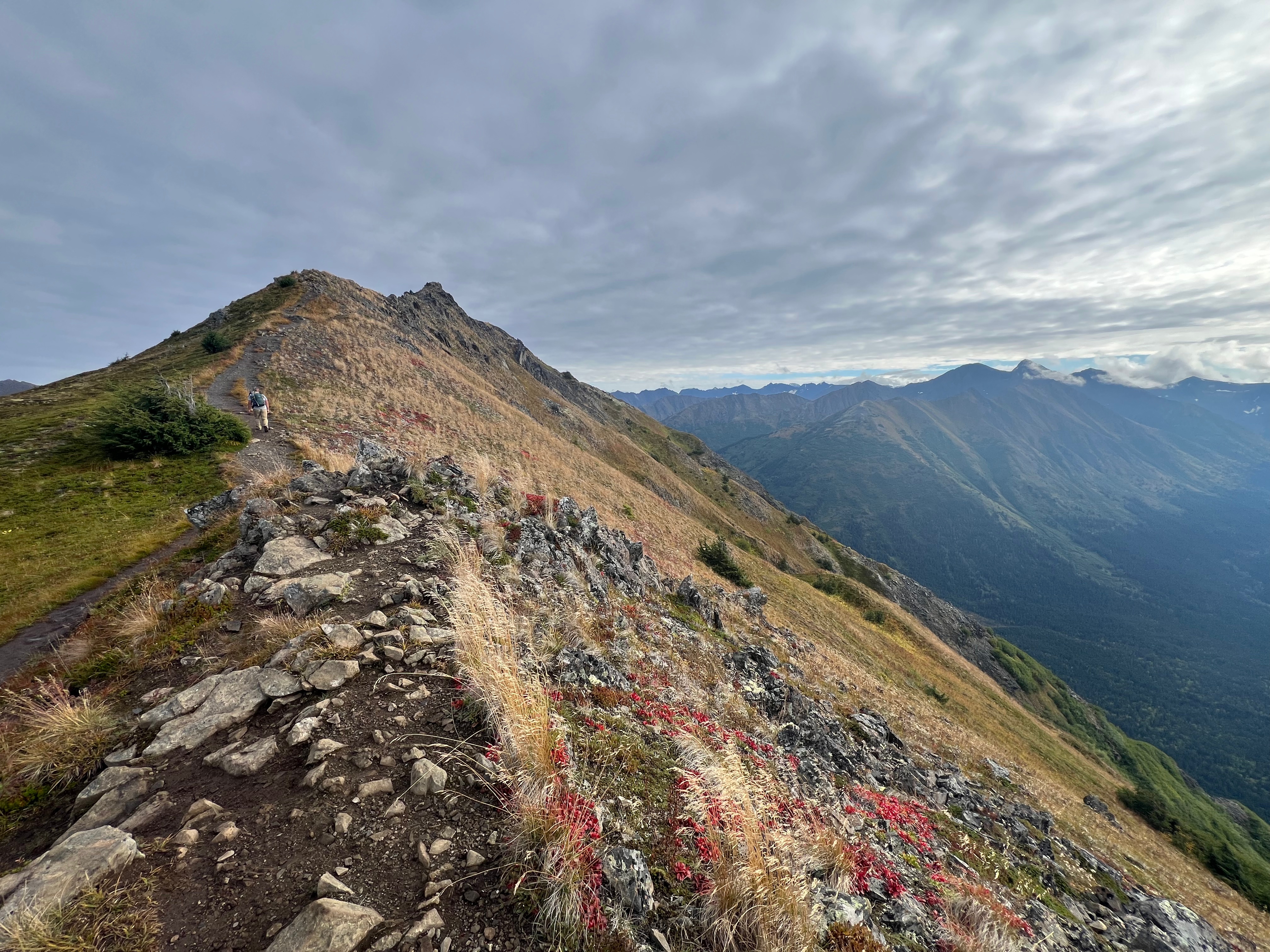
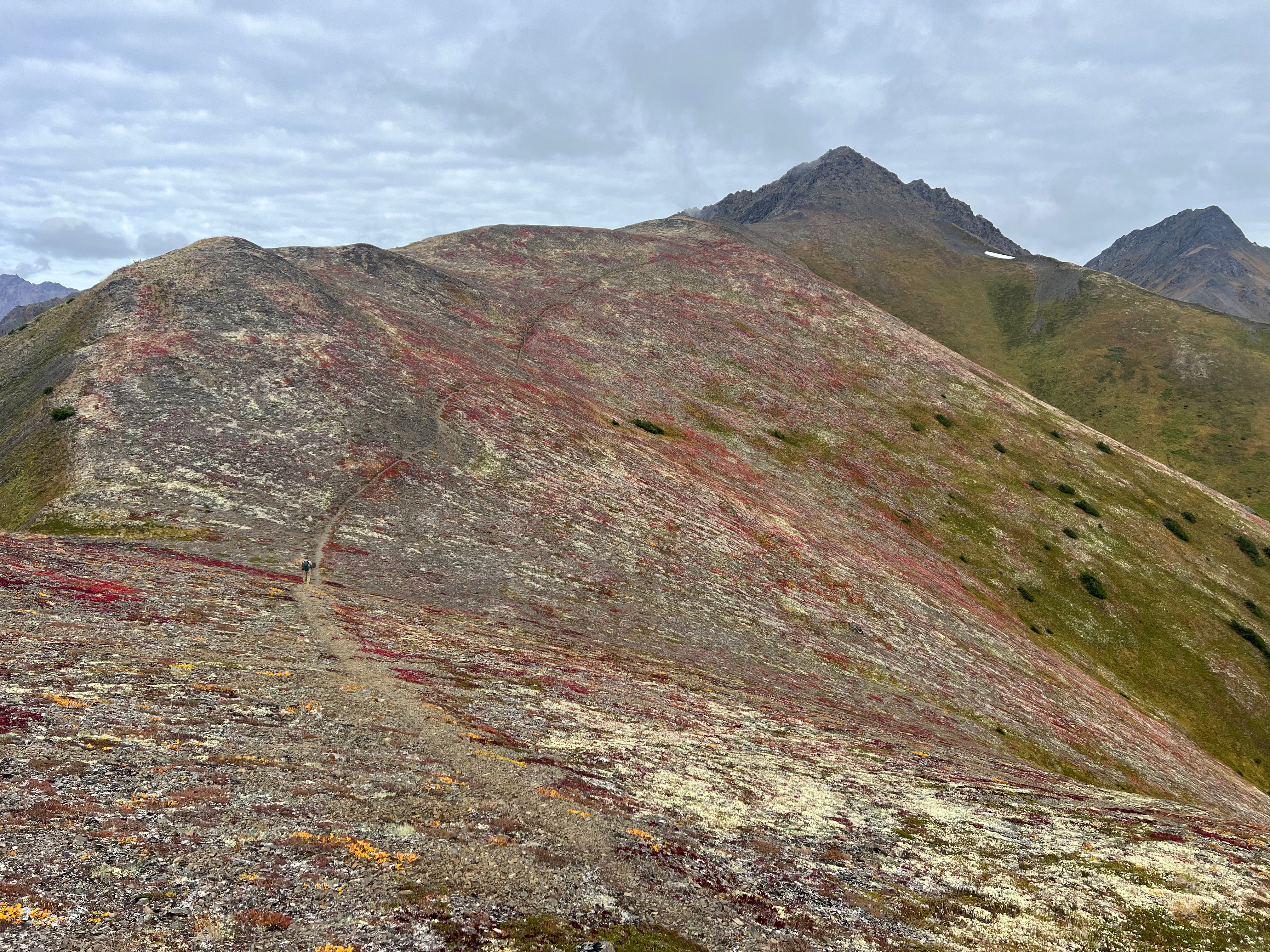
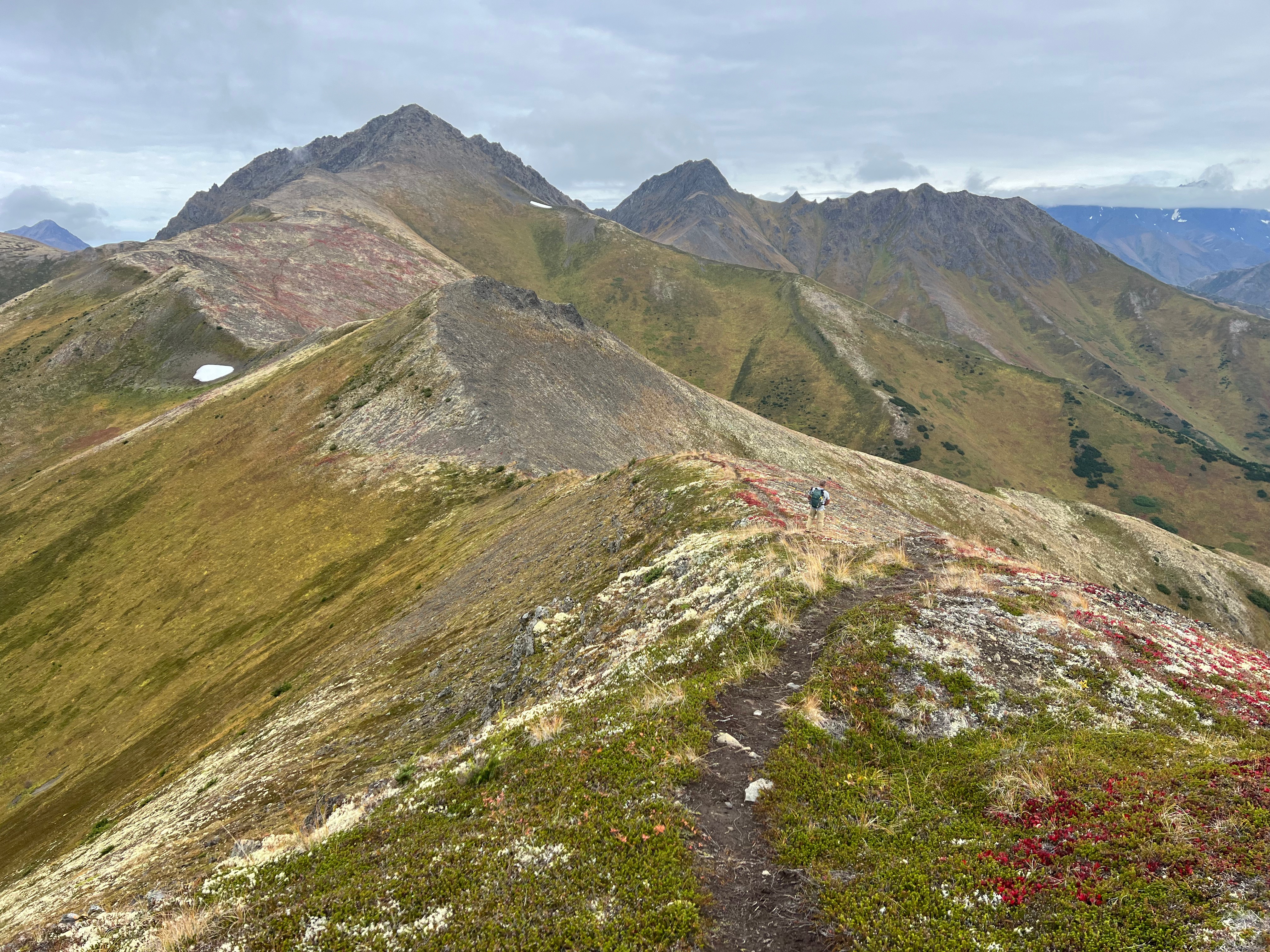
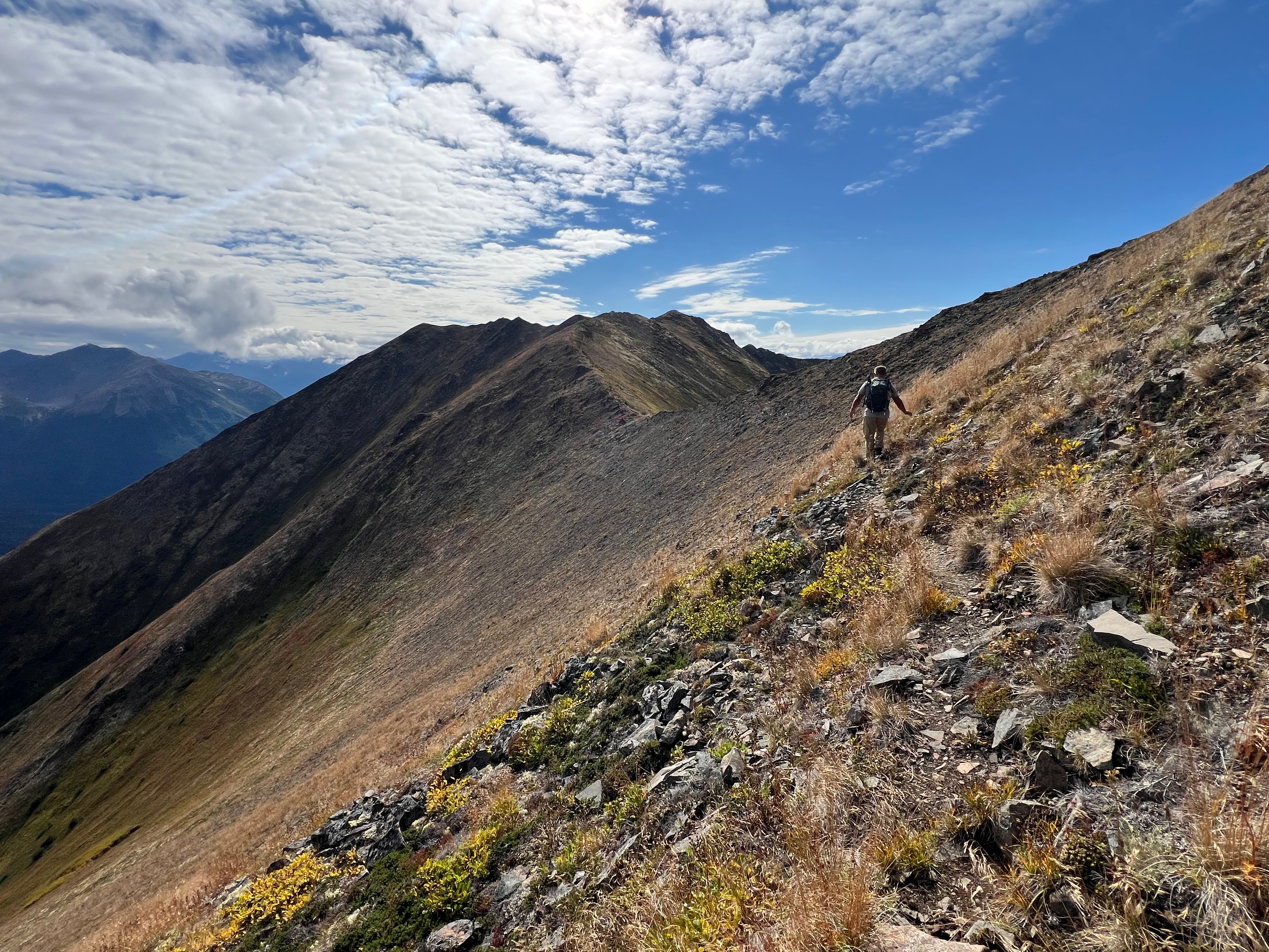
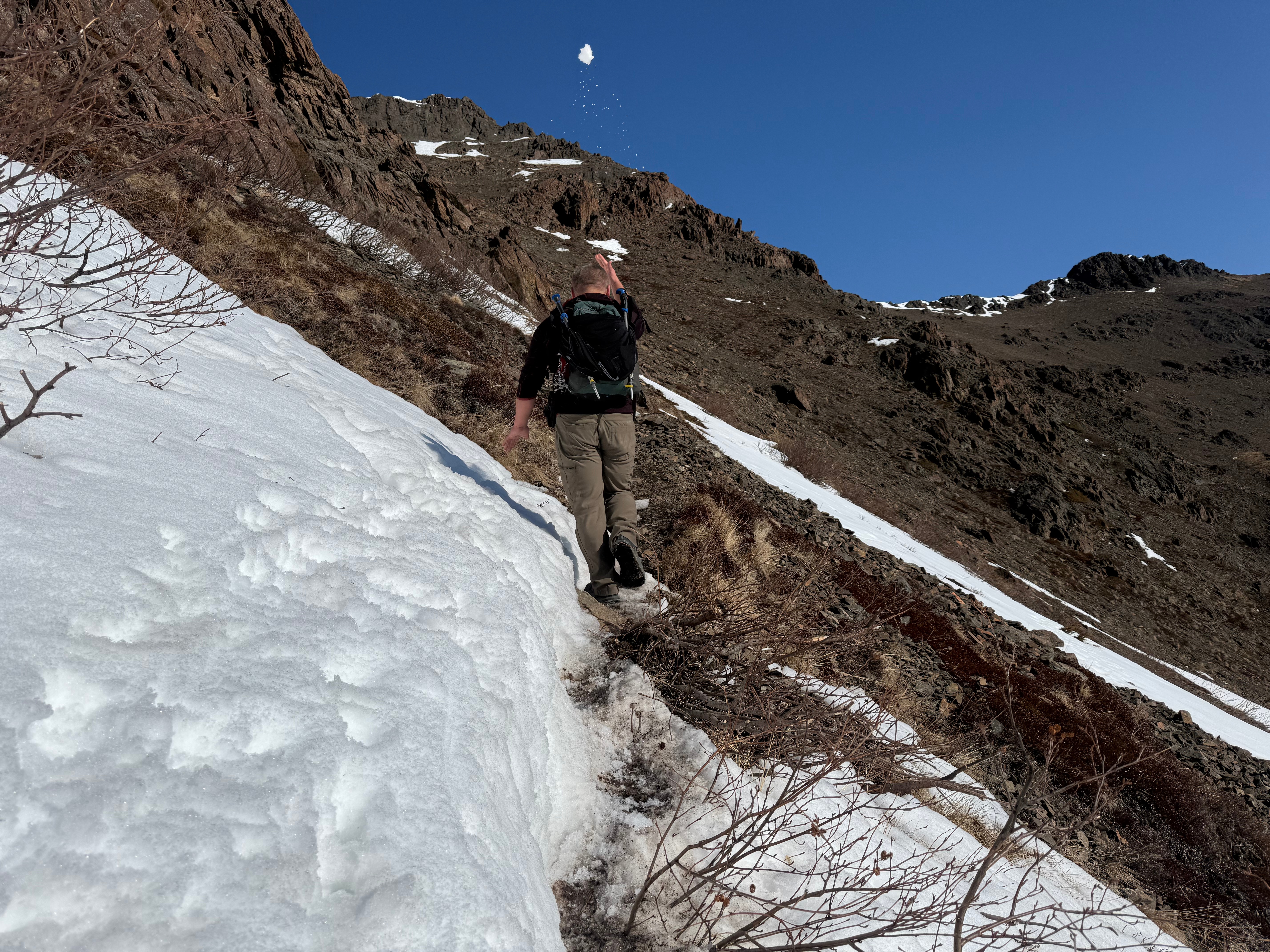
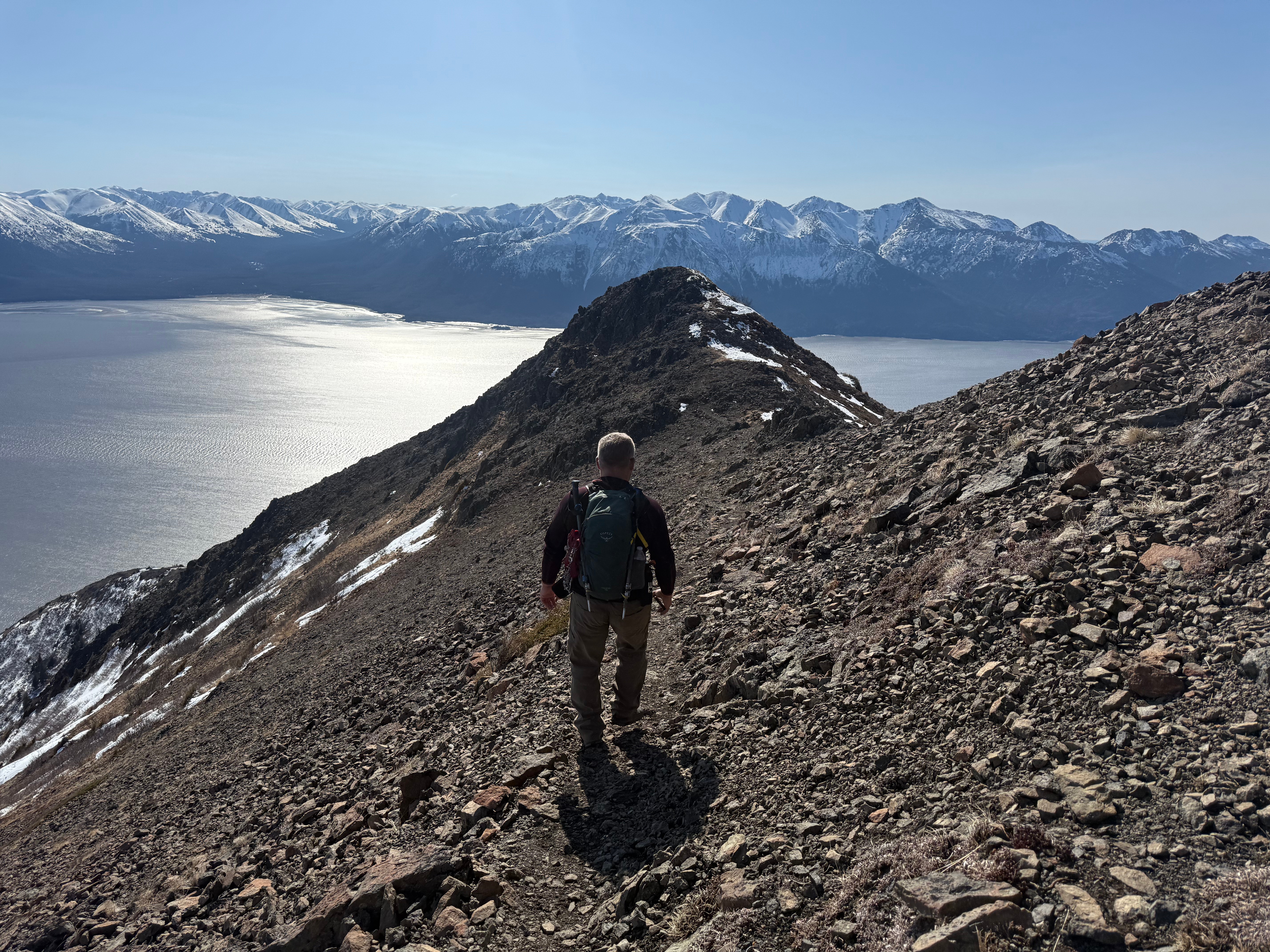
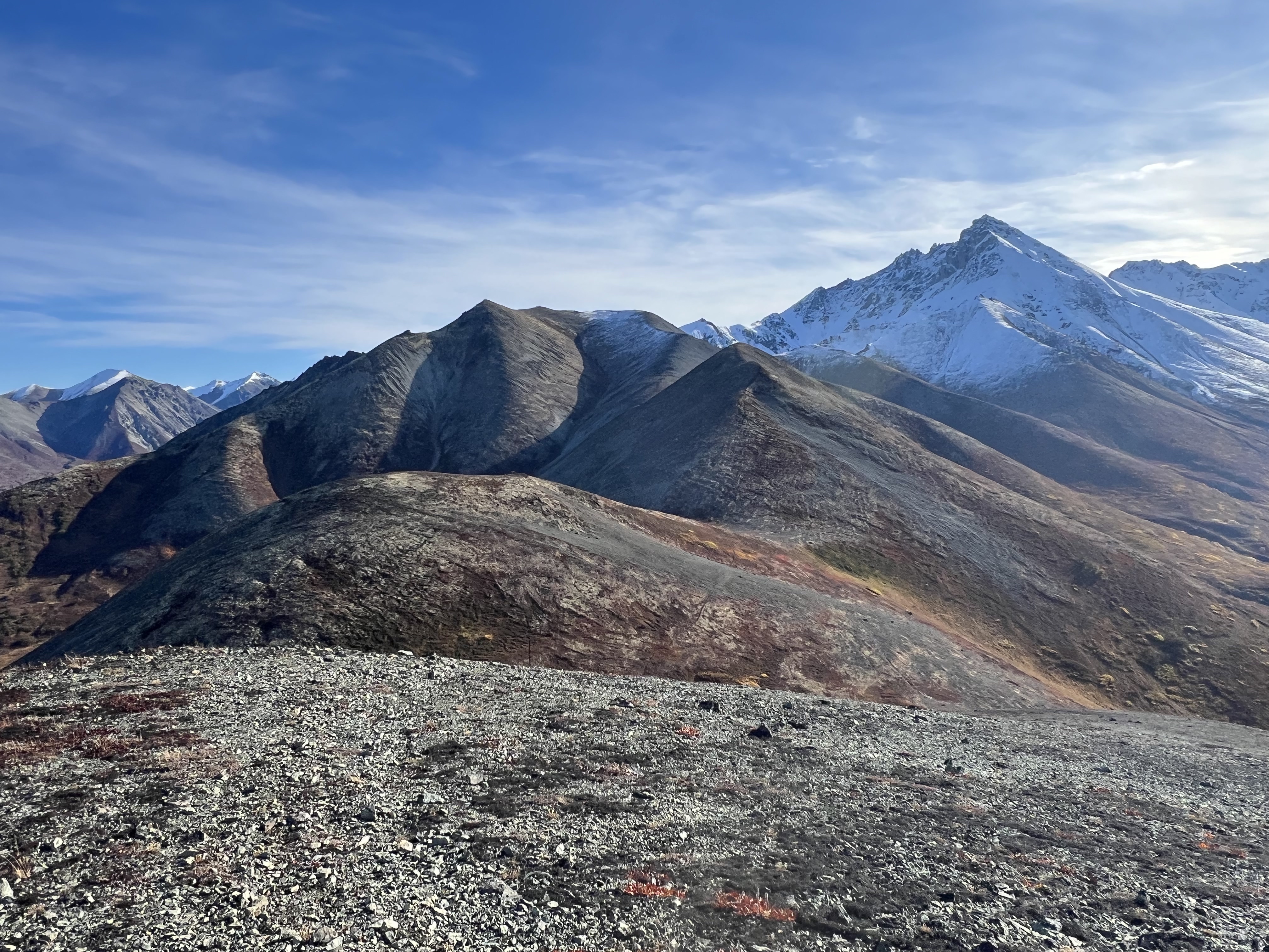
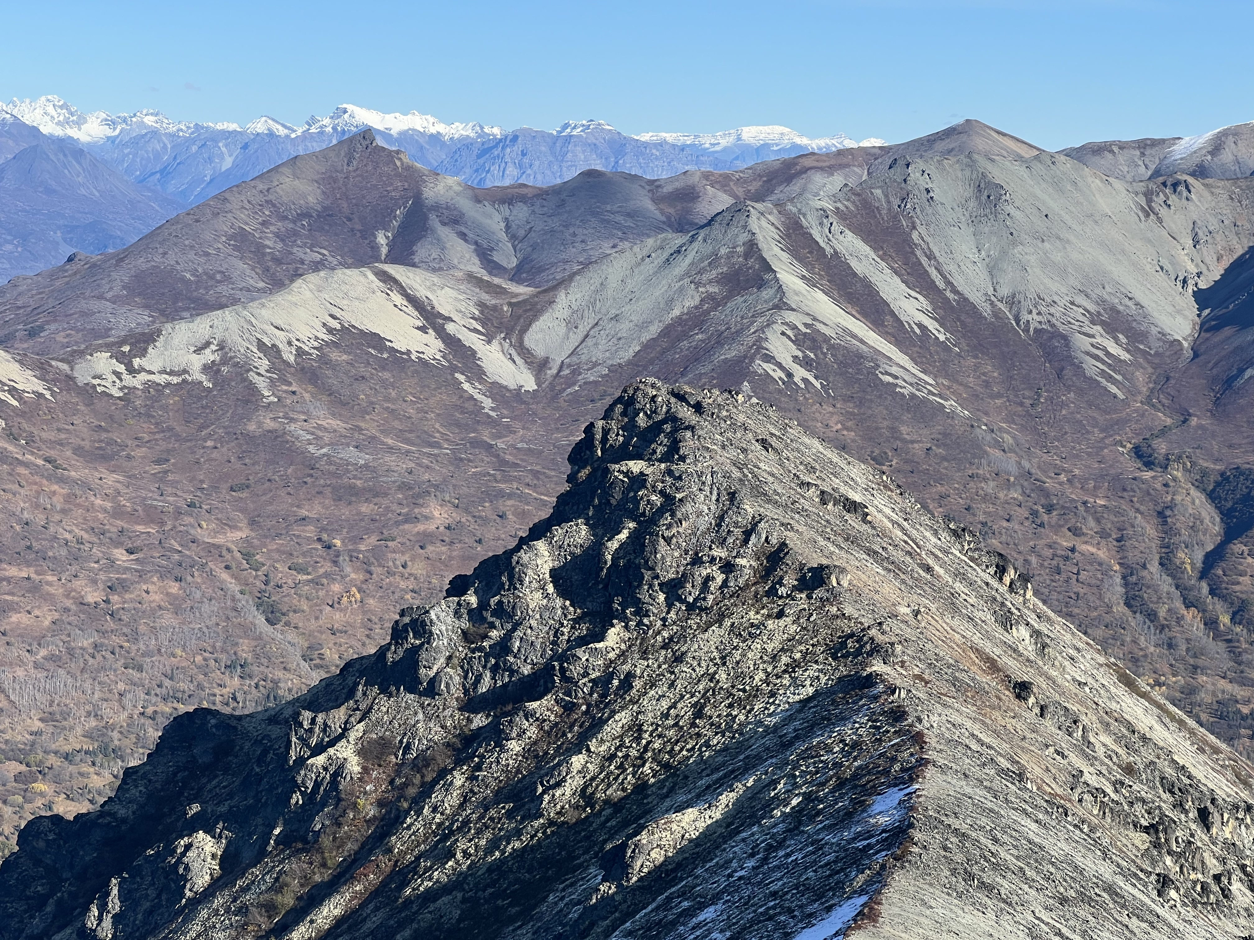
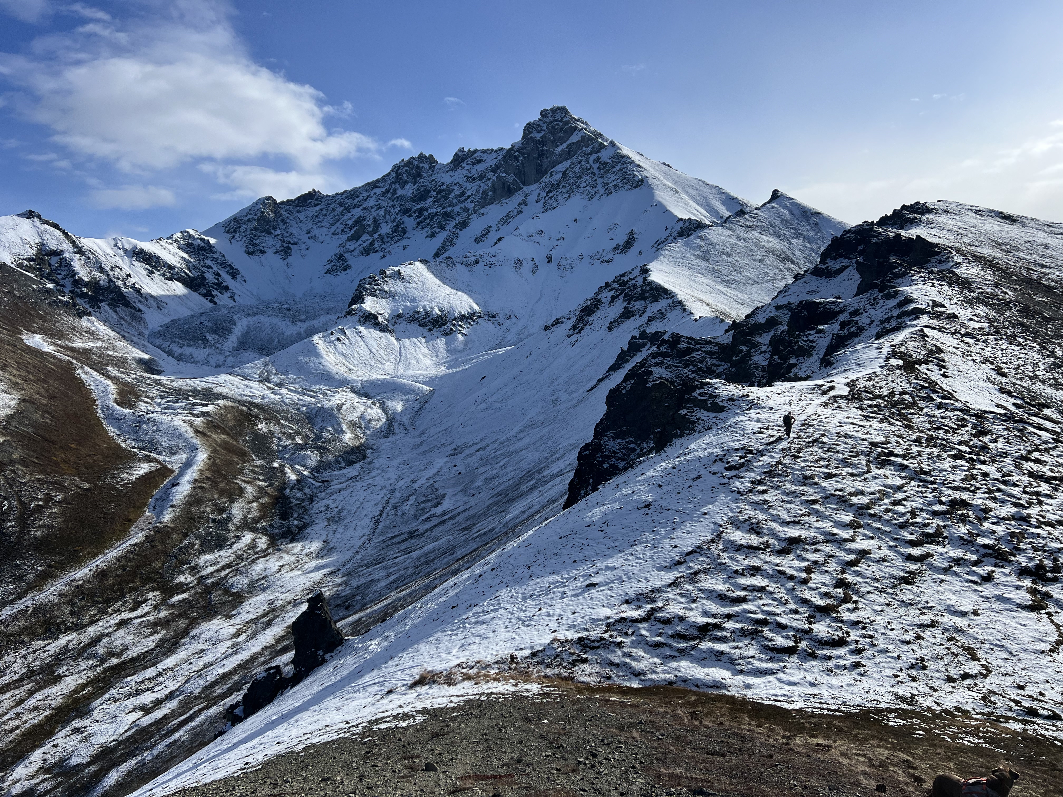
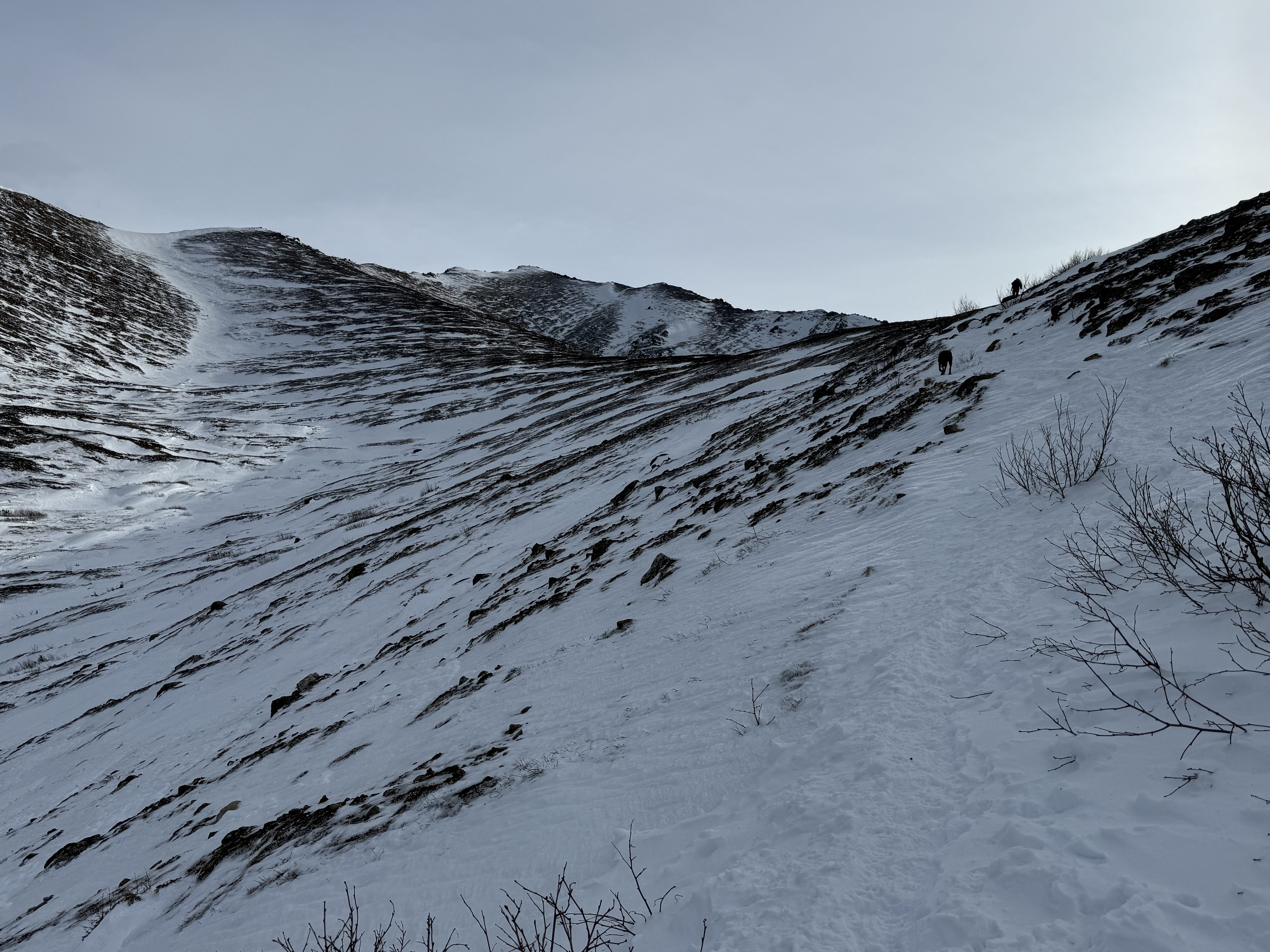
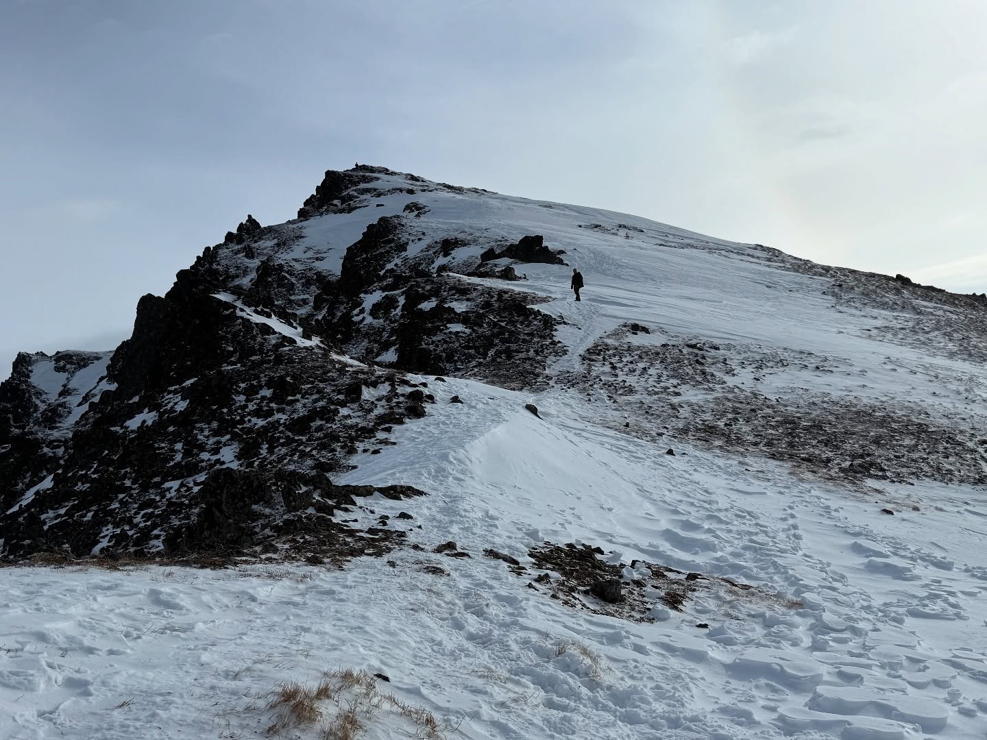
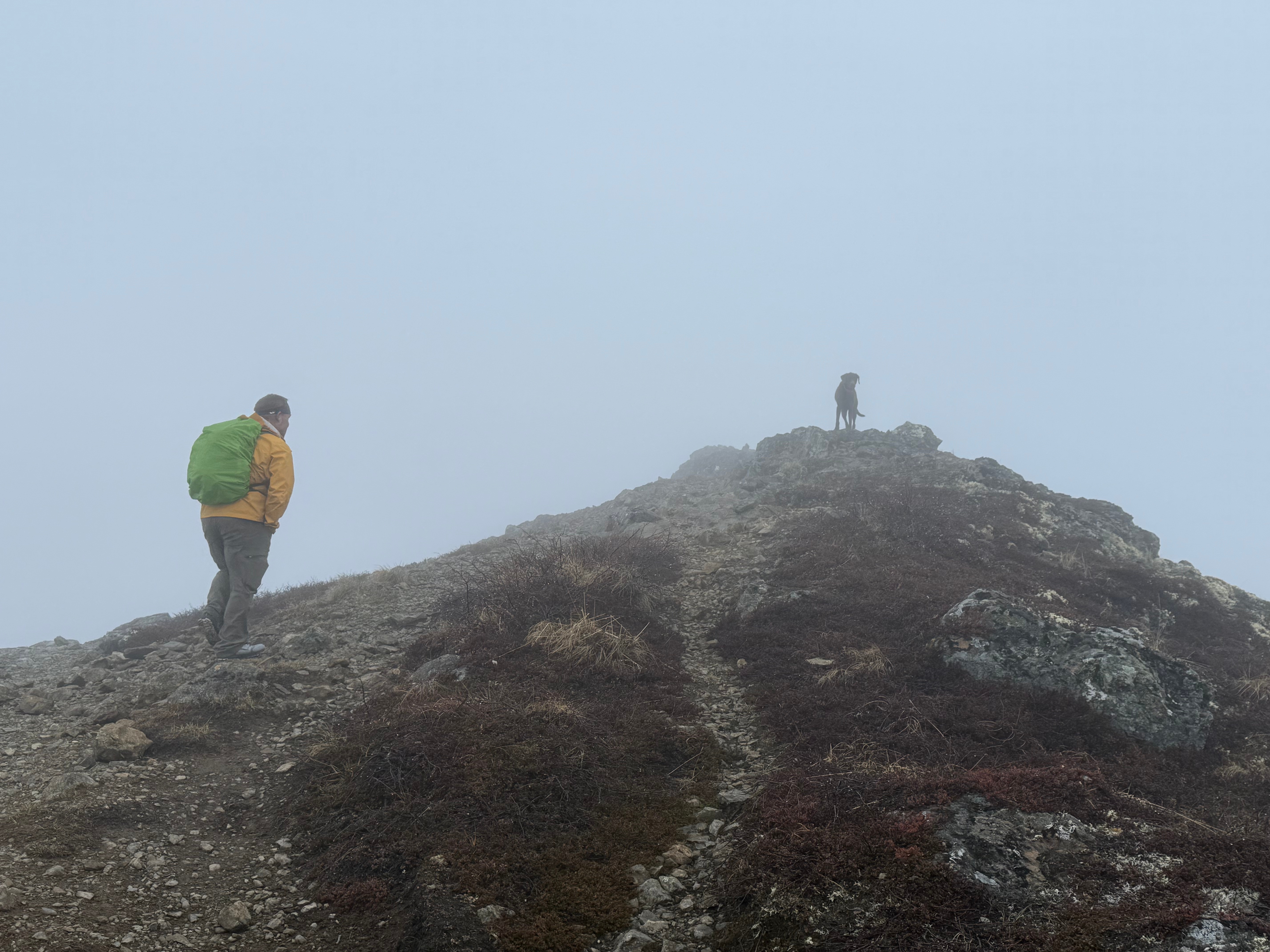
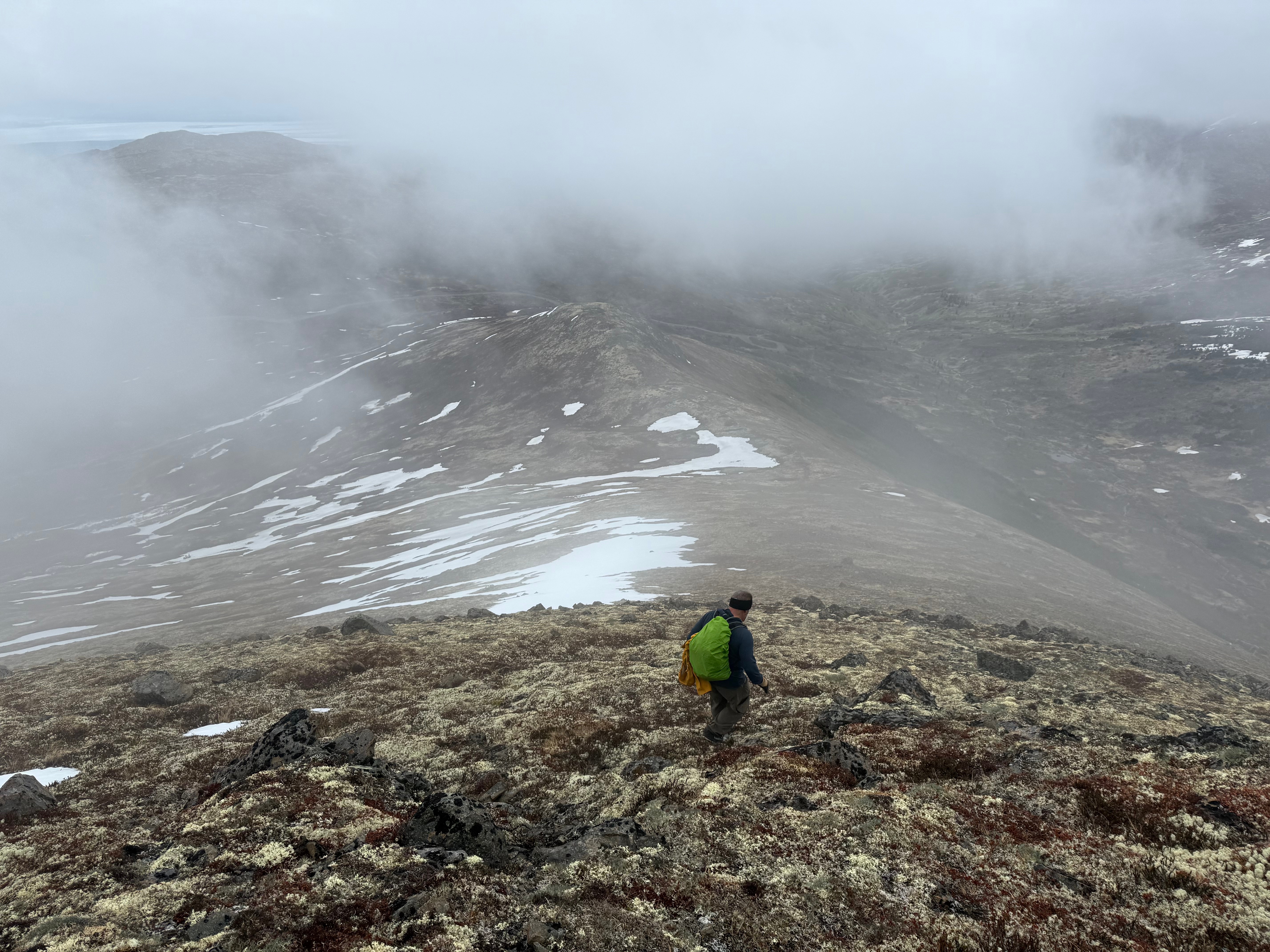
We snapped a few summit photos and turned northwest toward our next goal: Kanchee Peak. While many GPX tracks on Gaia and Peakbagger show a direct ridge route to Kanchee, we chose to retrace our steps about a quarter mile and follow a less exposed, less scrambly path along the north slope of Knoya’s false summit. The snow stopped suddenly, but the clouds lingered.
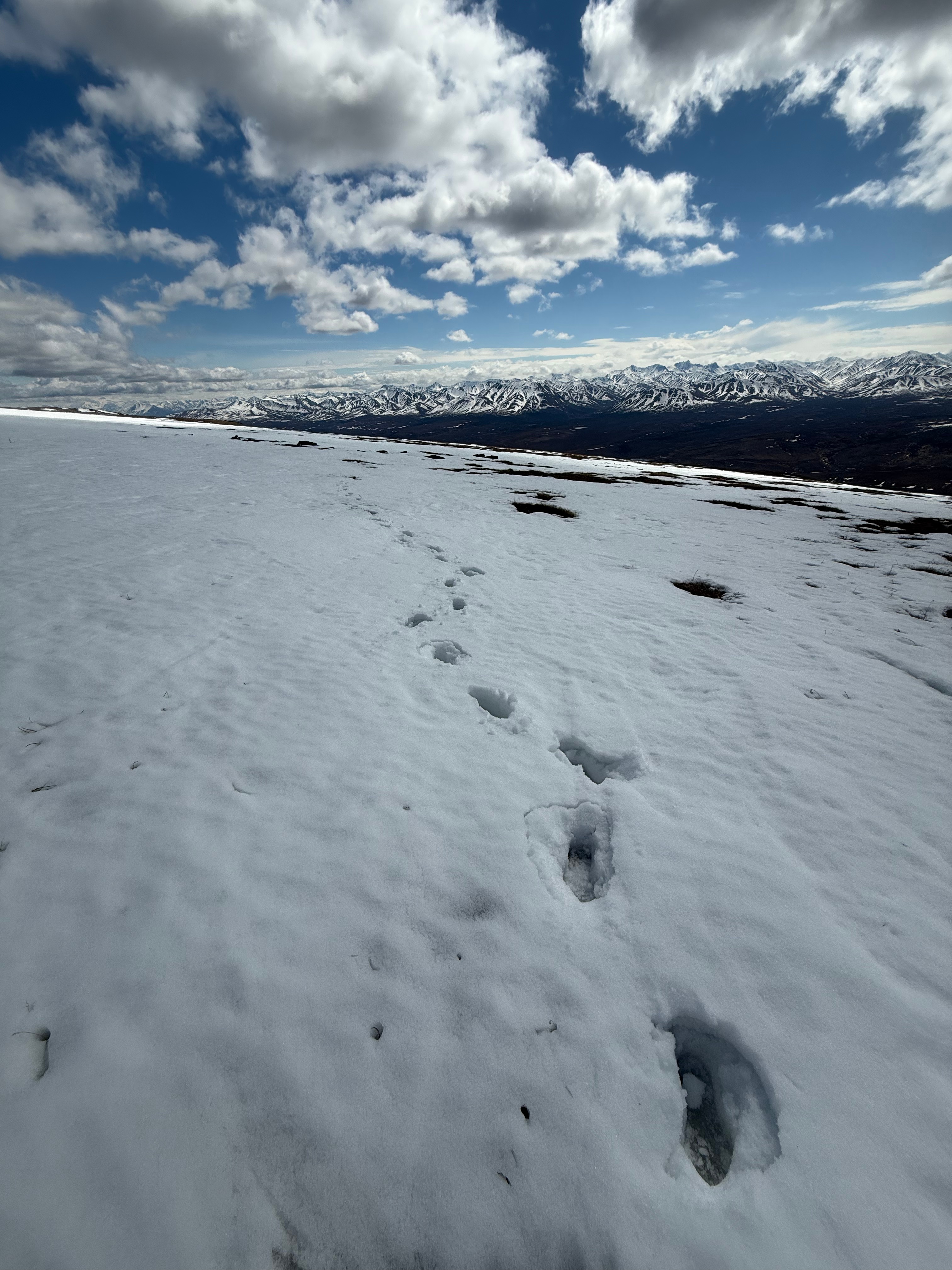
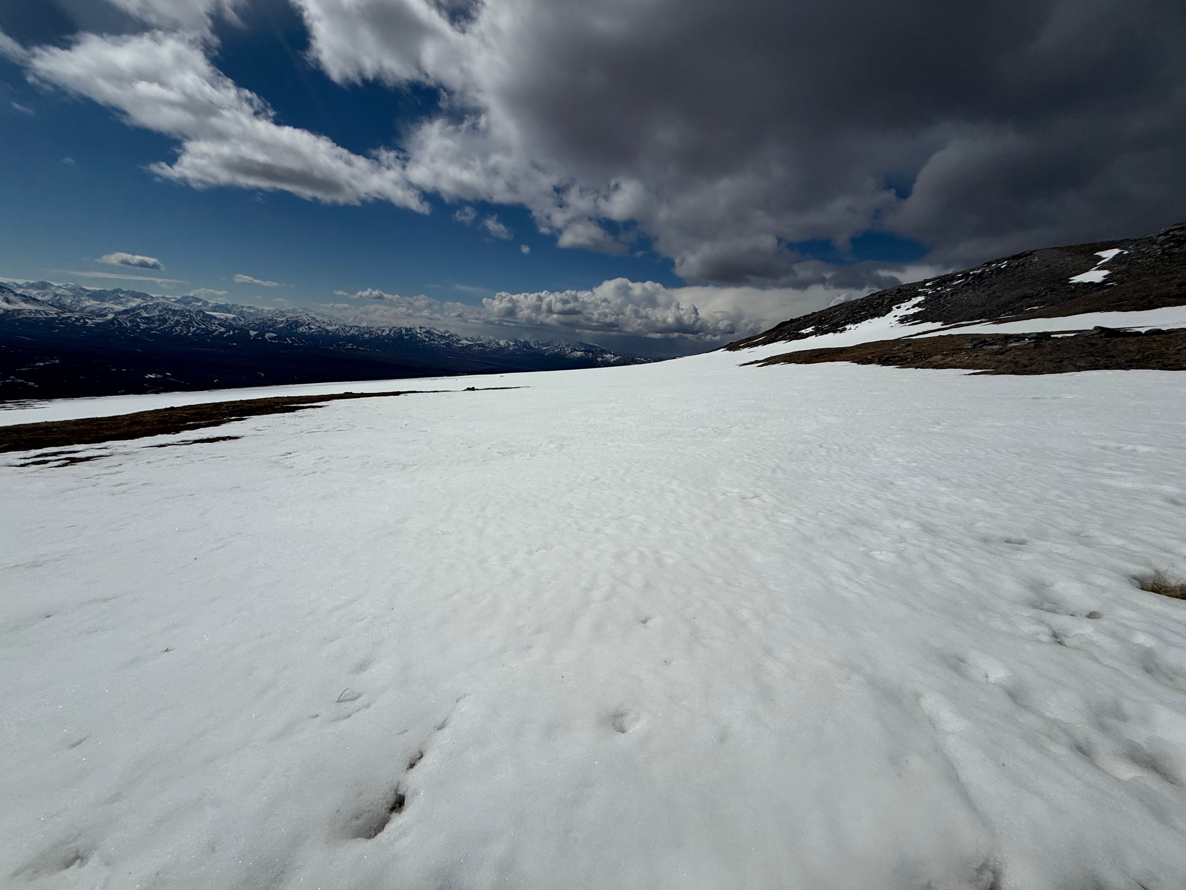
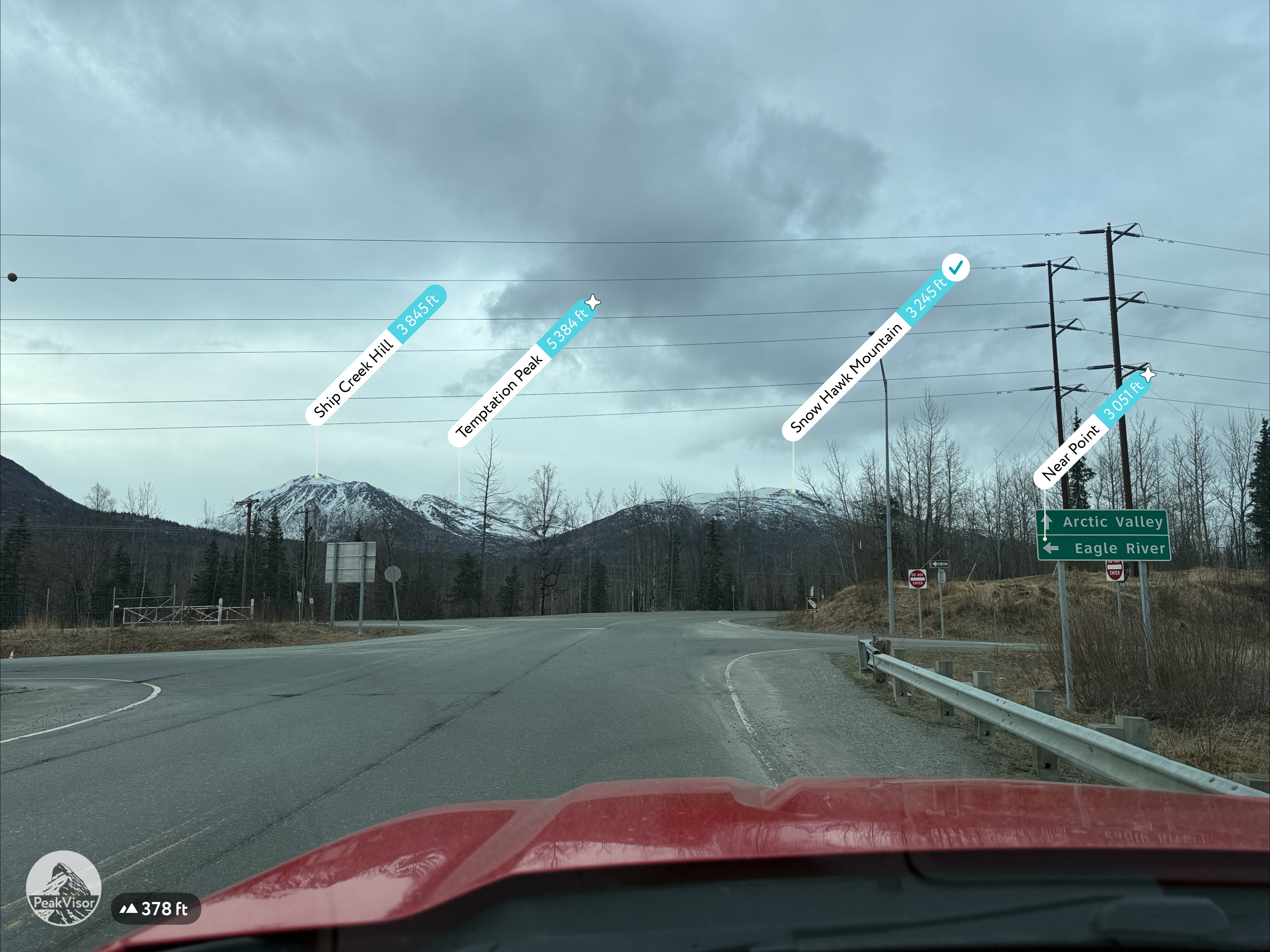
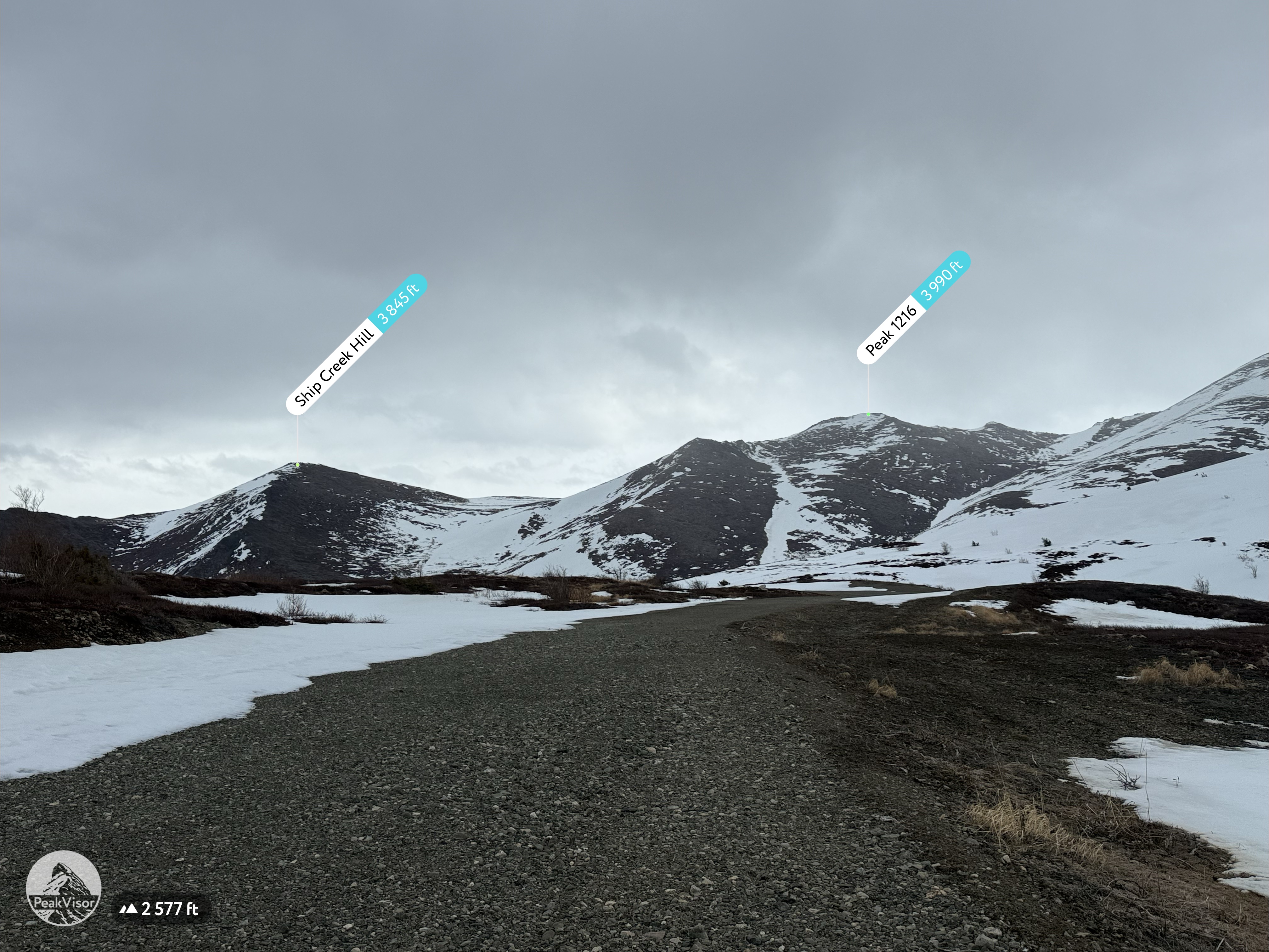
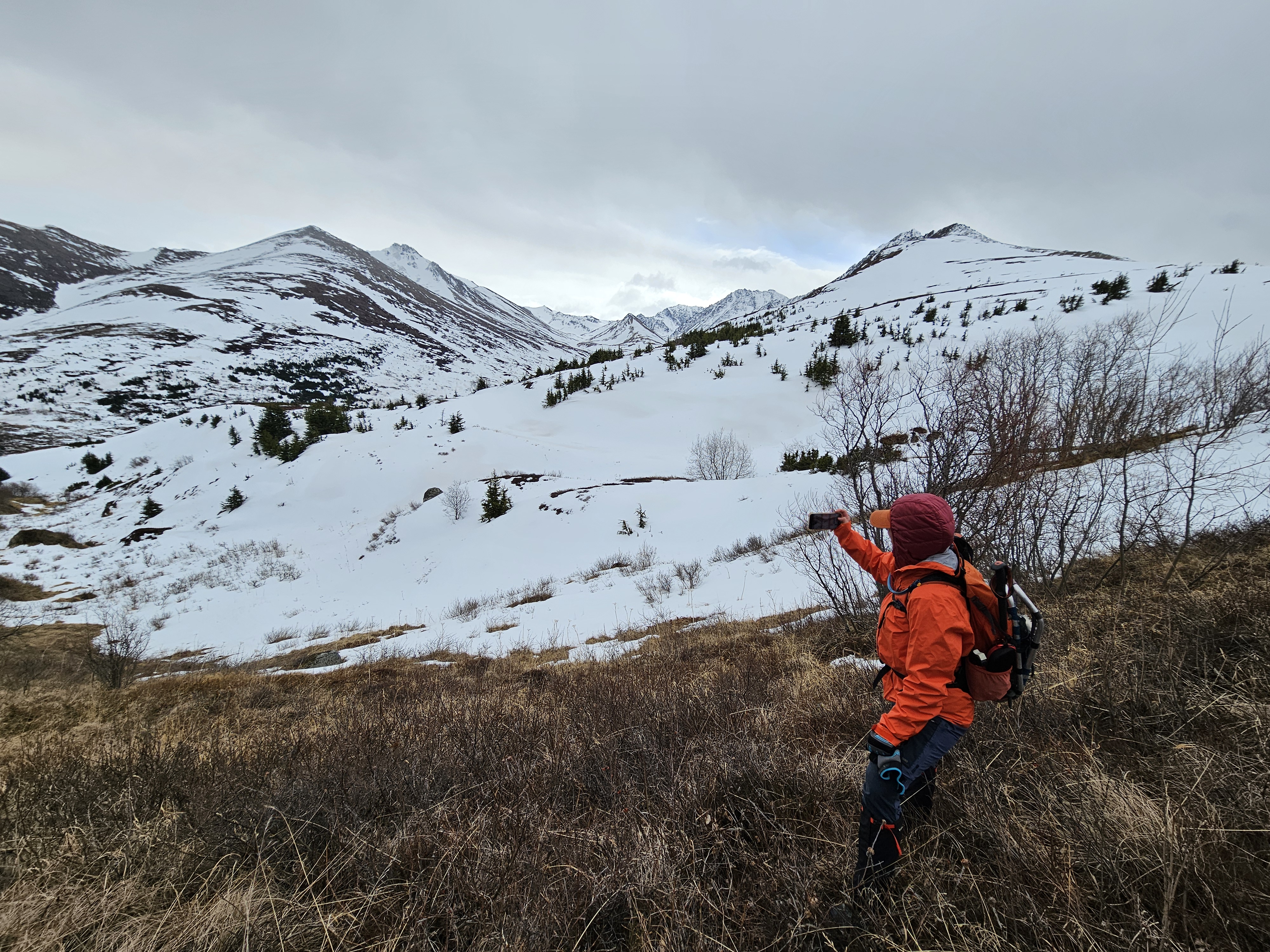
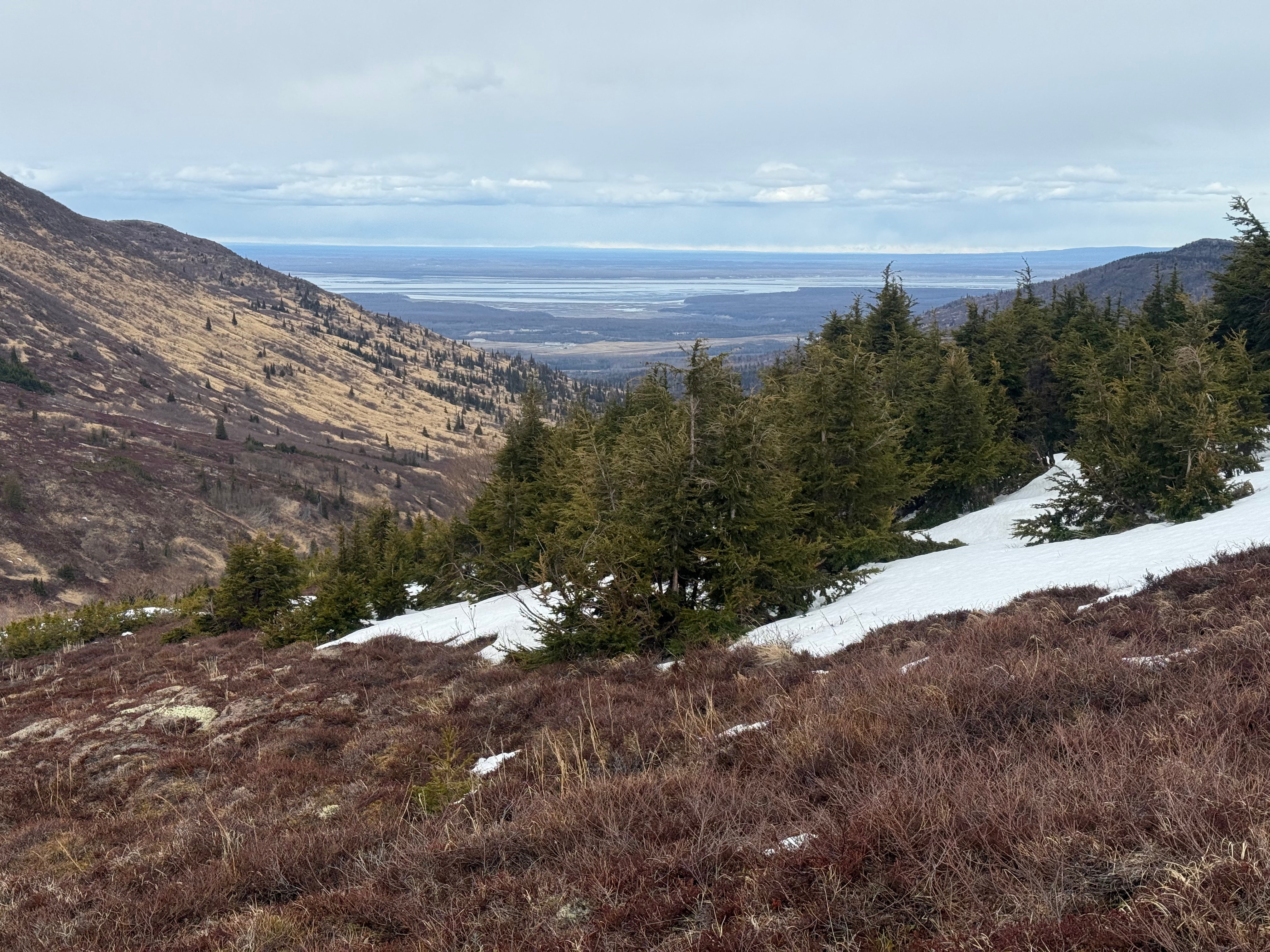
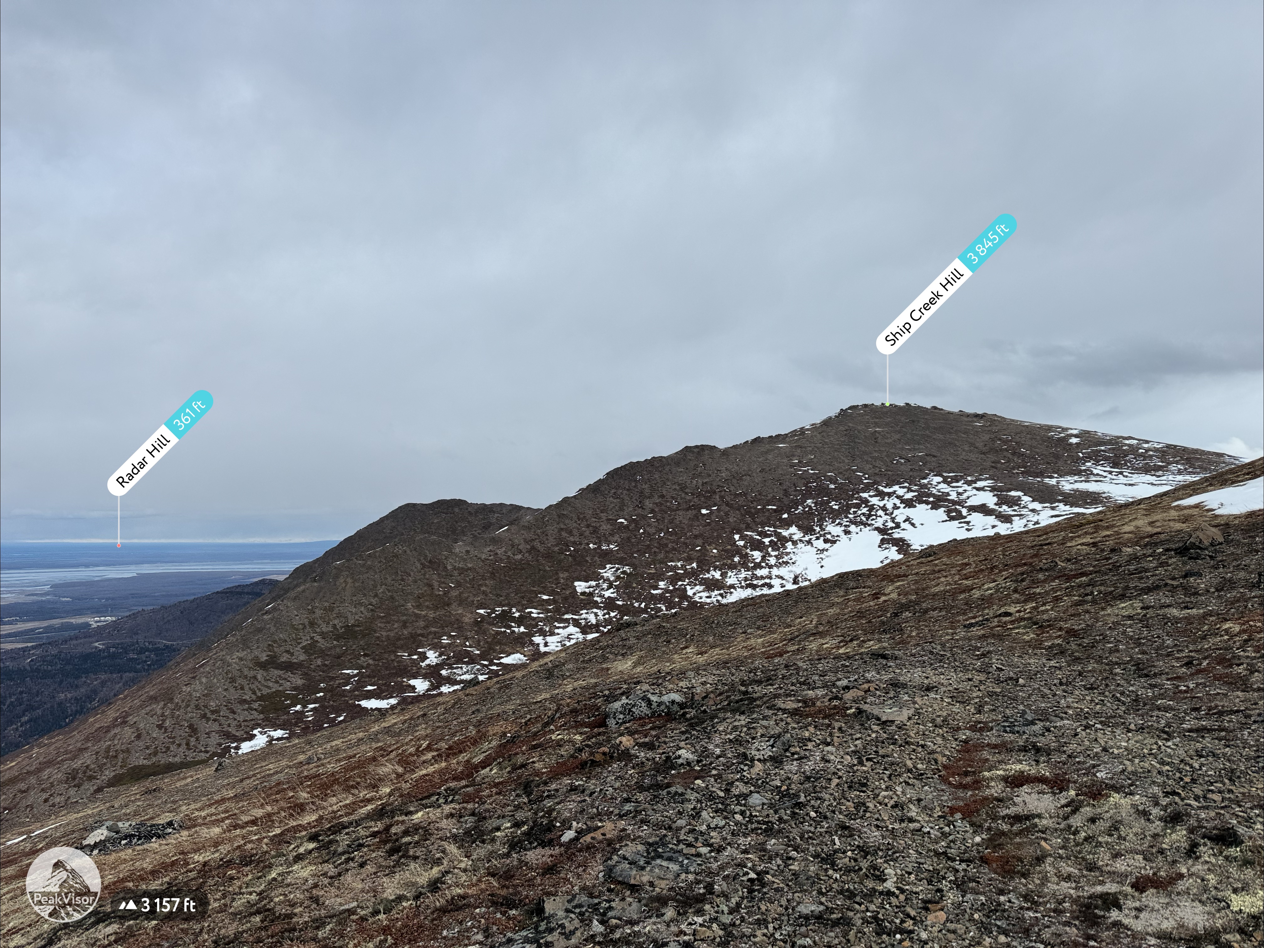
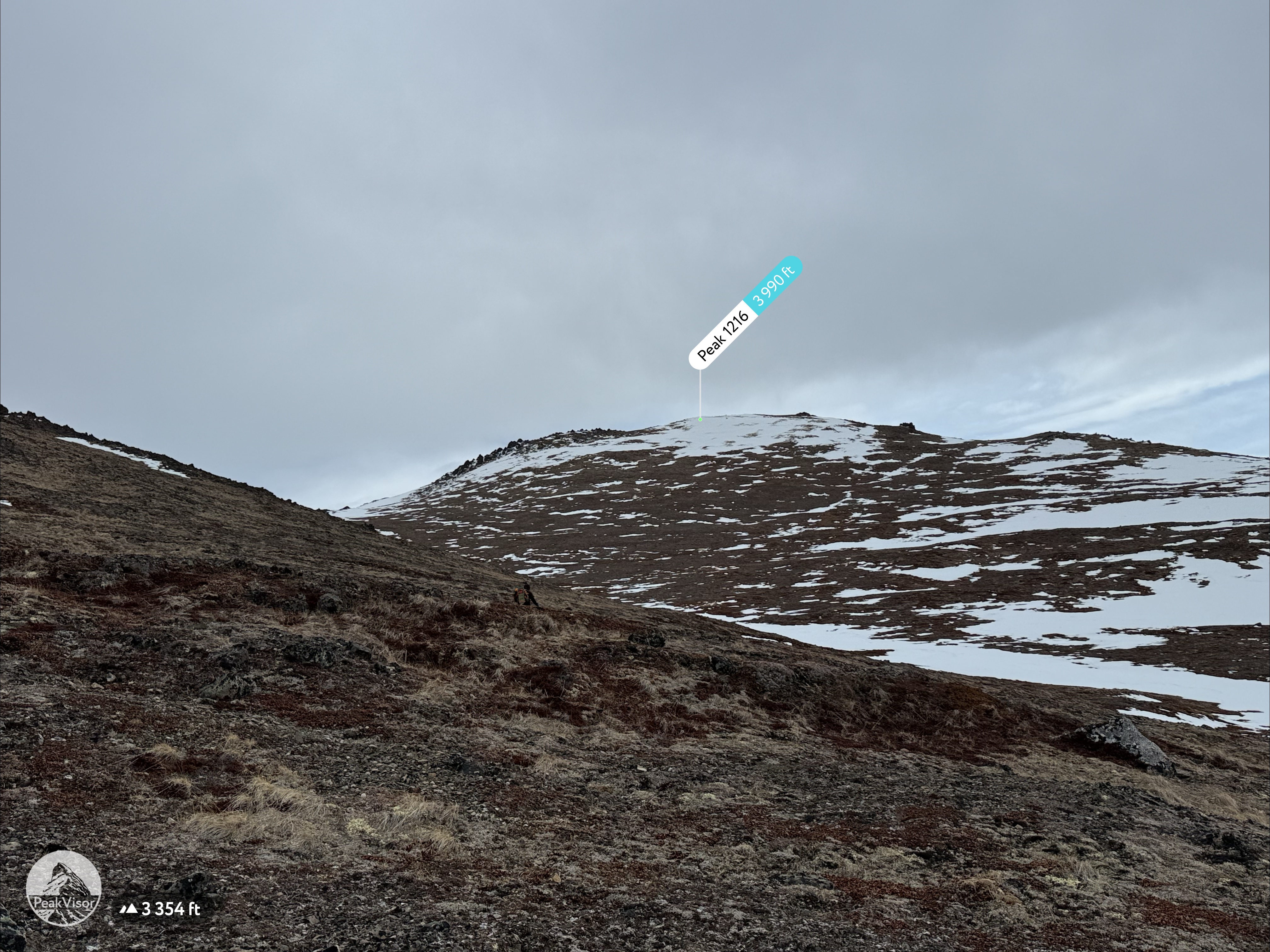
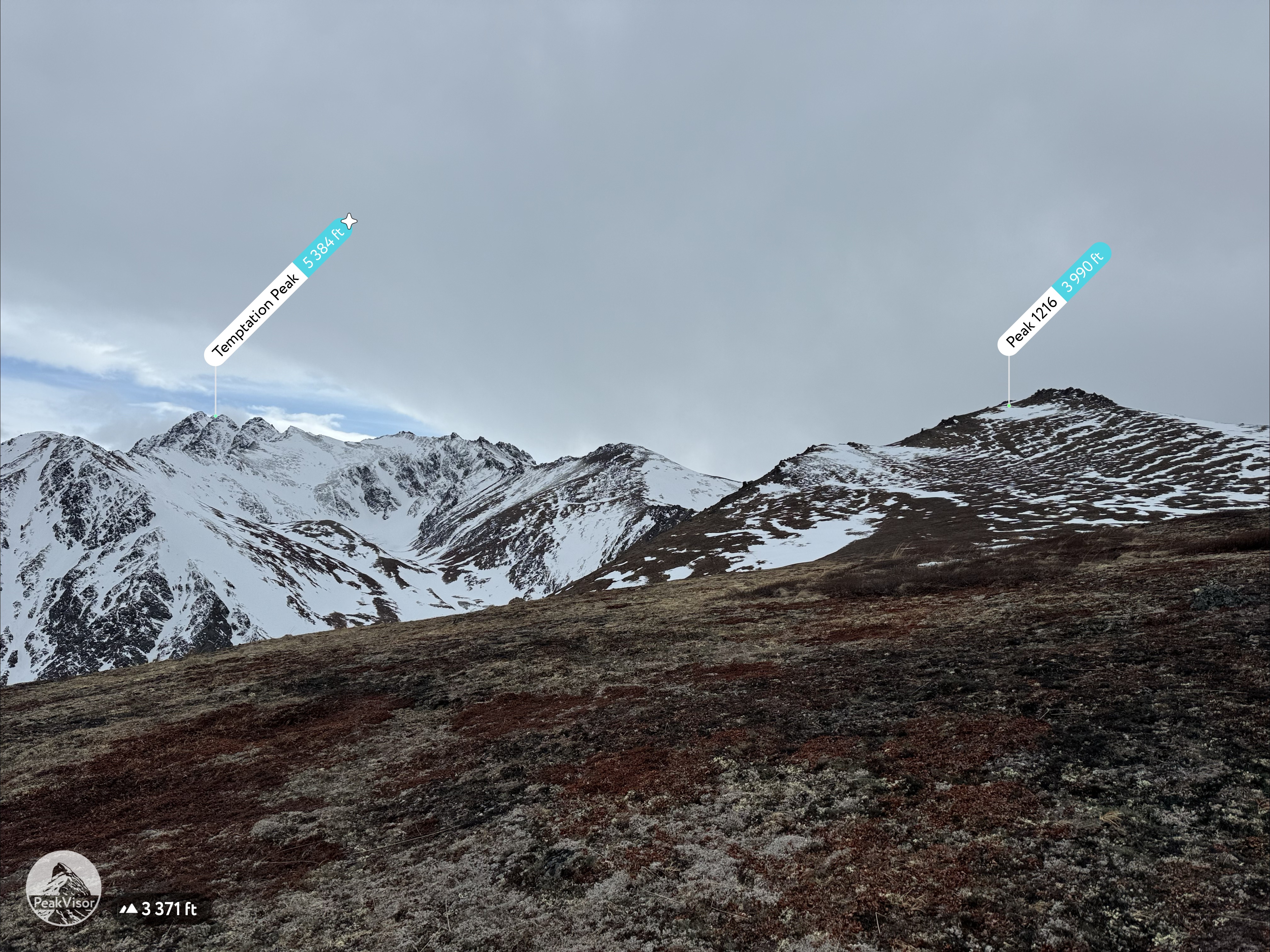
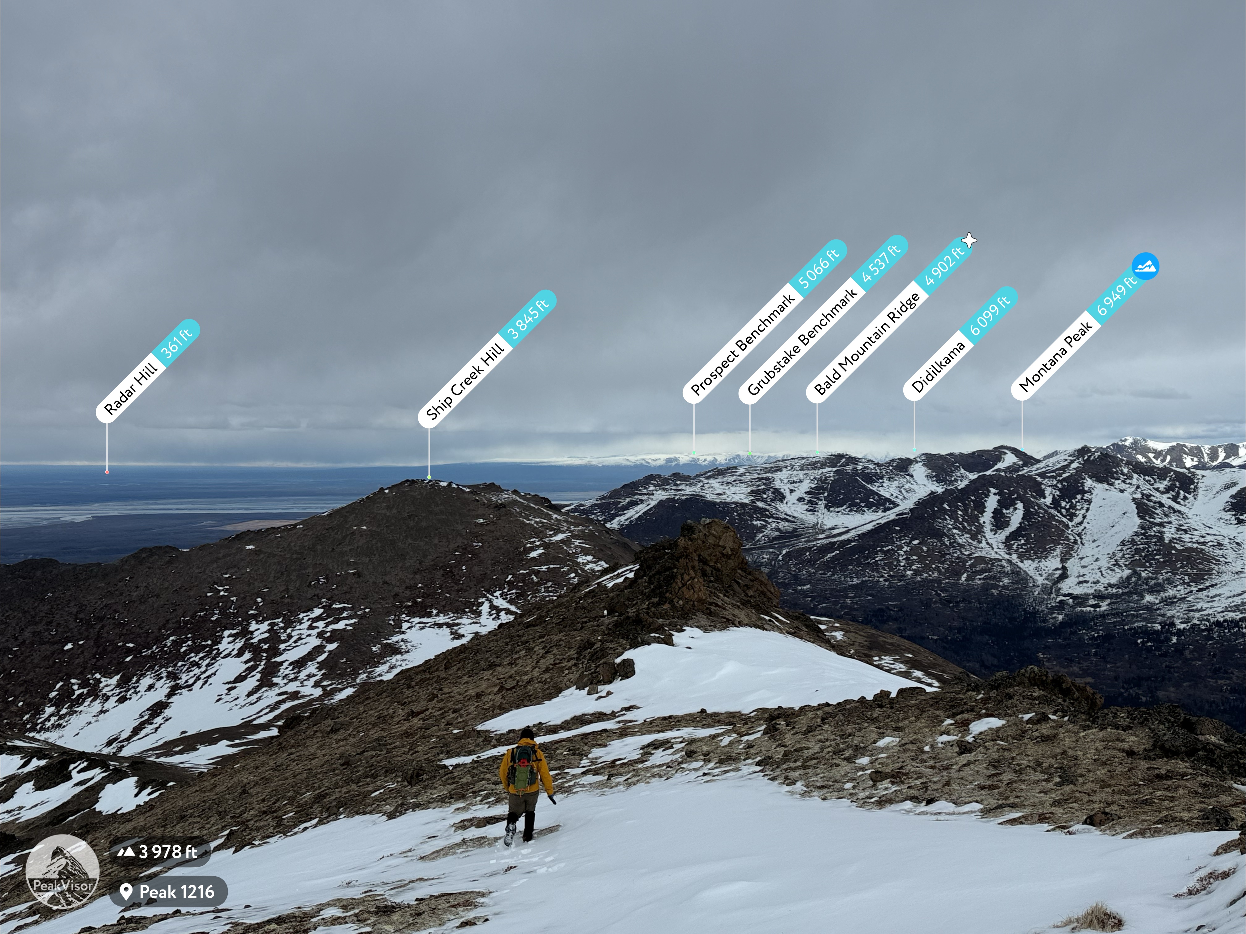
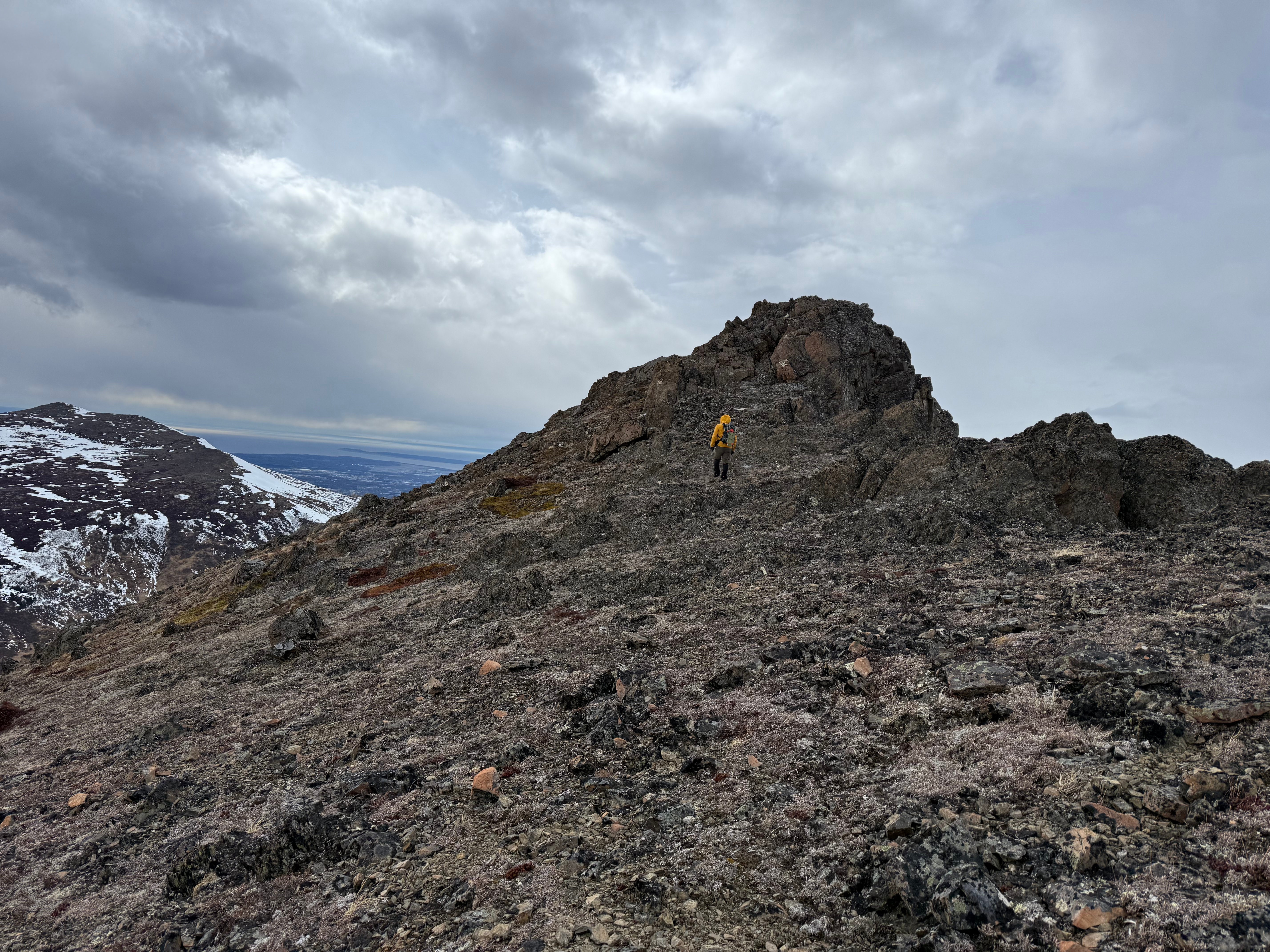
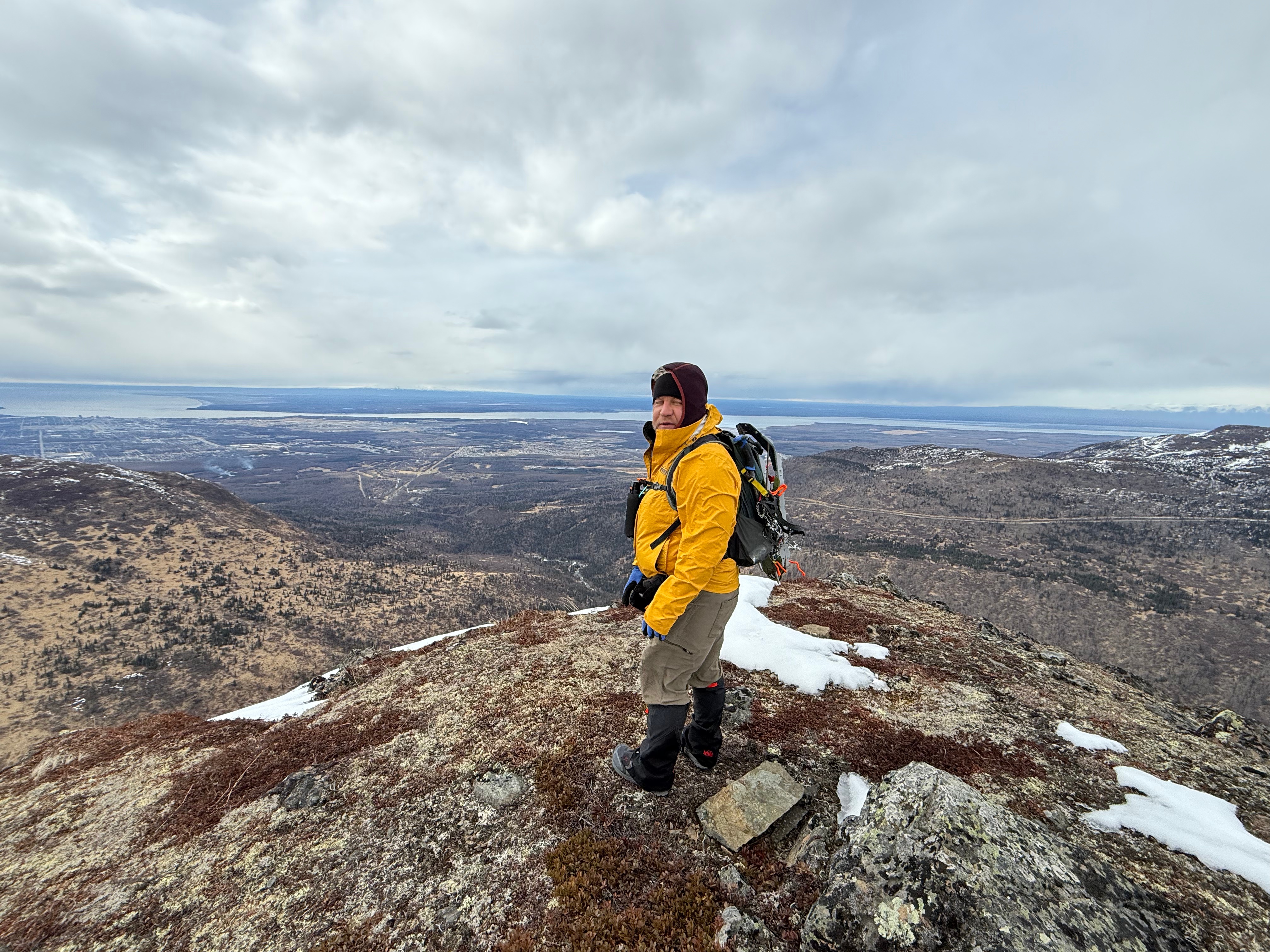
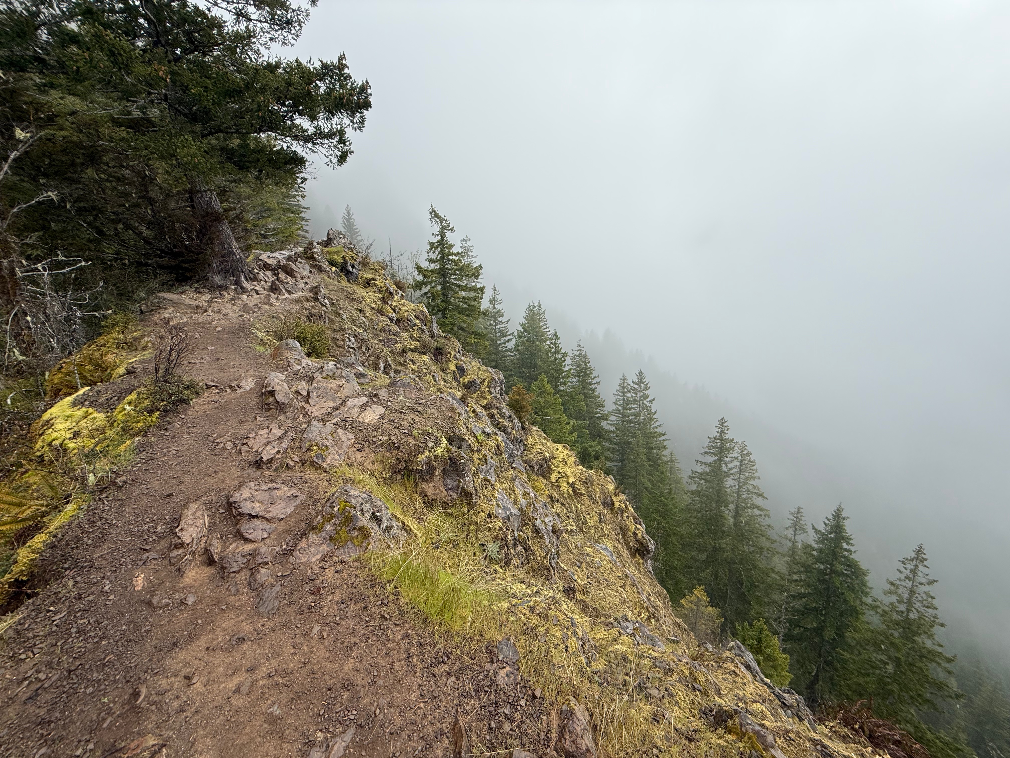
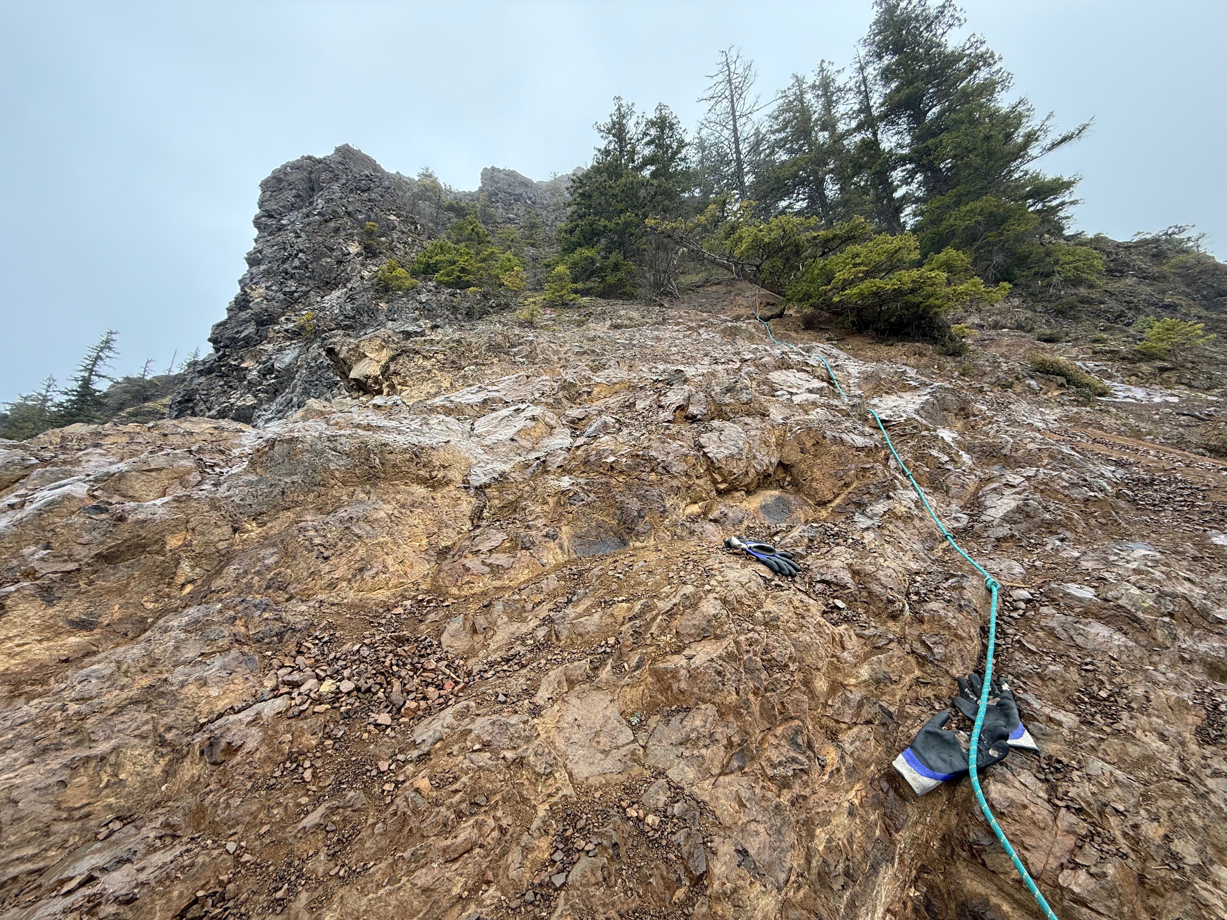
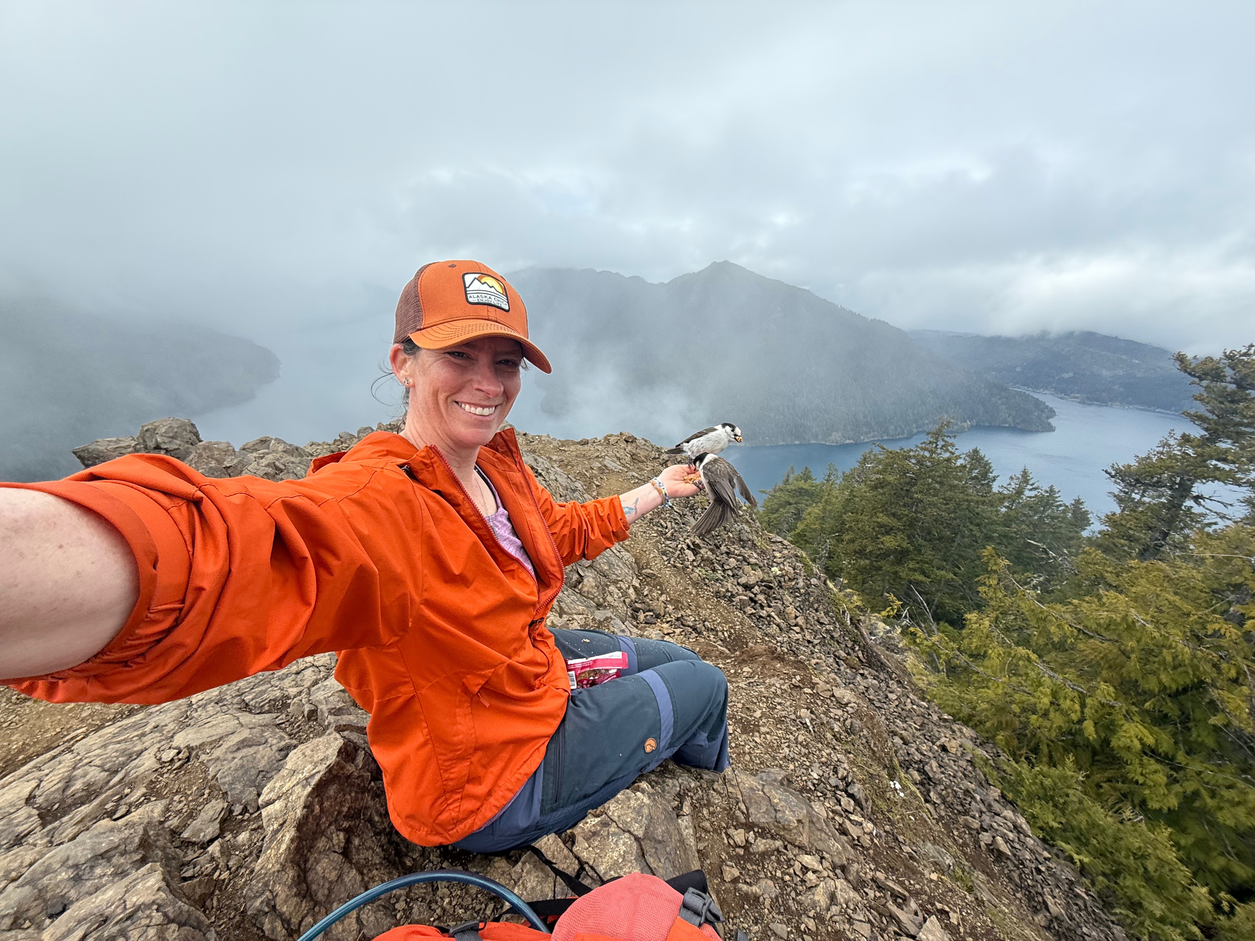
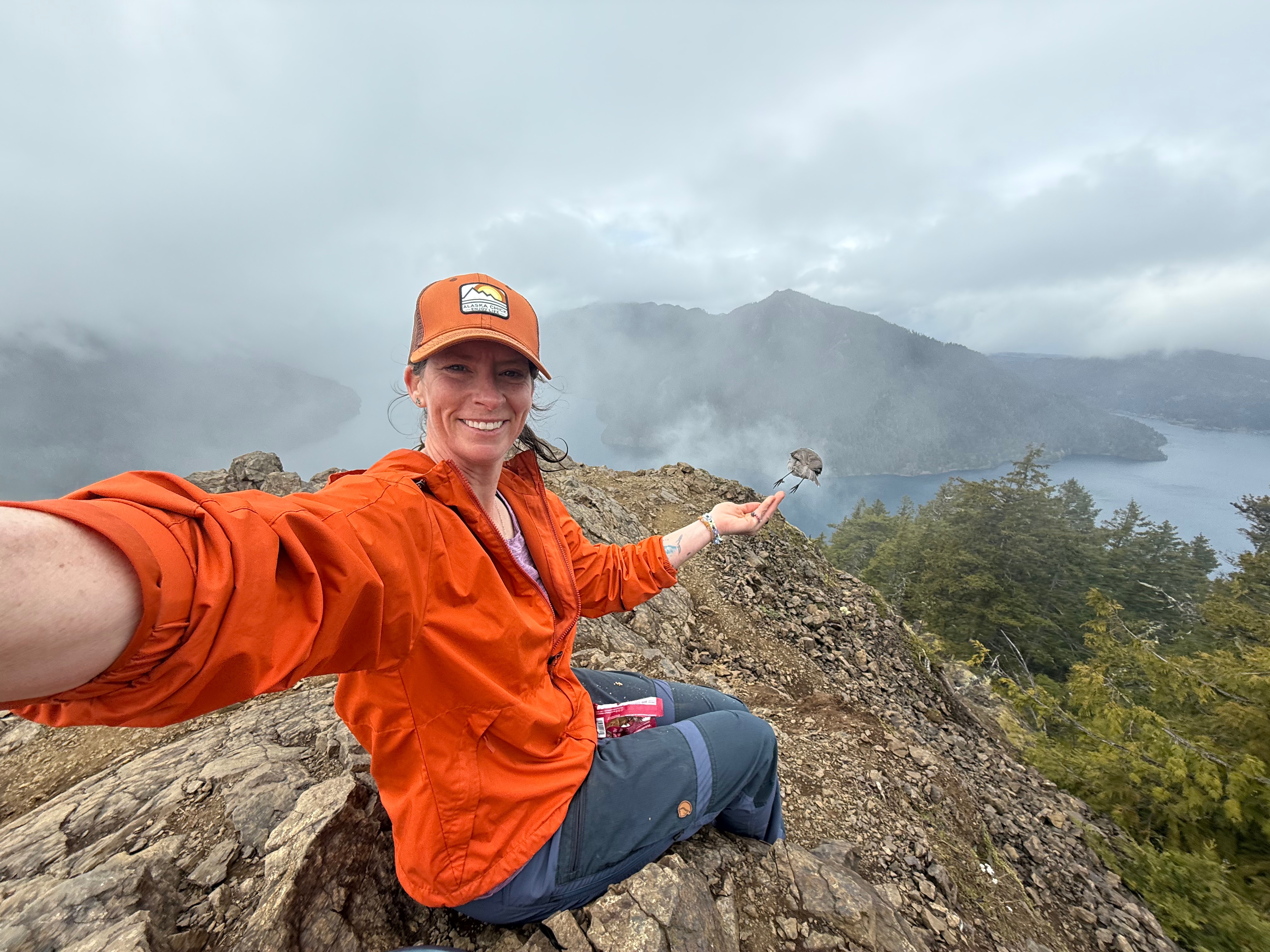
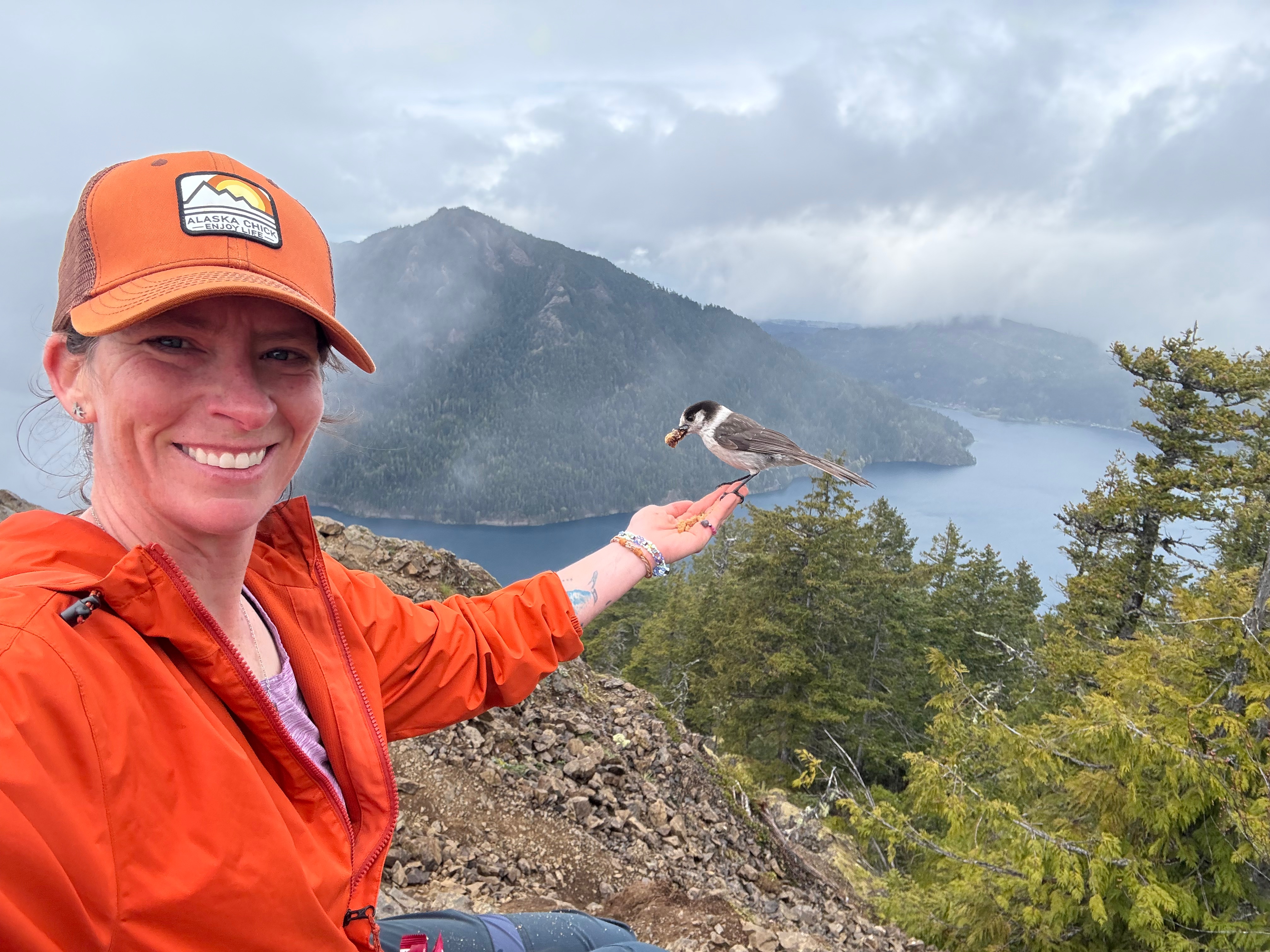
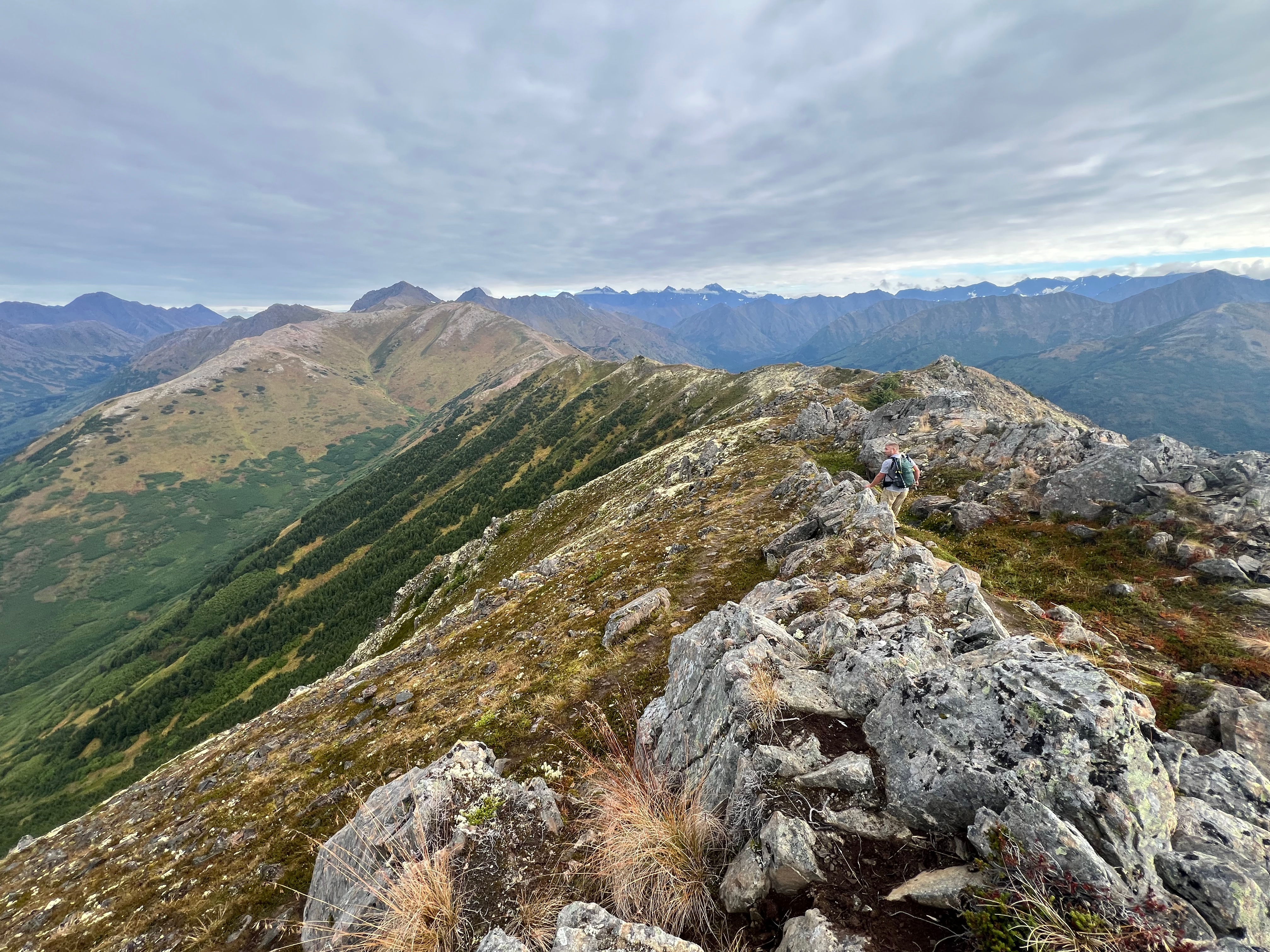
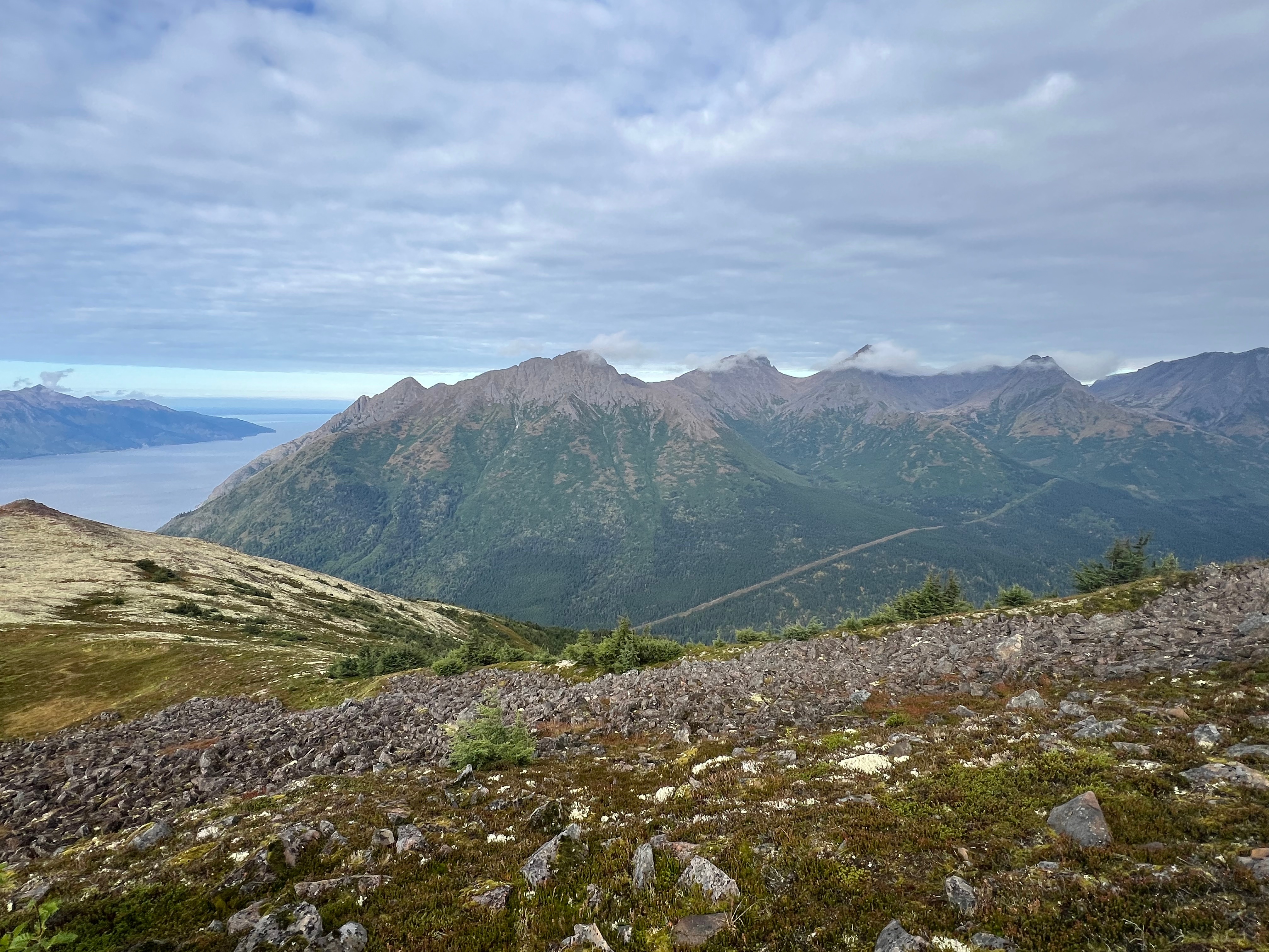
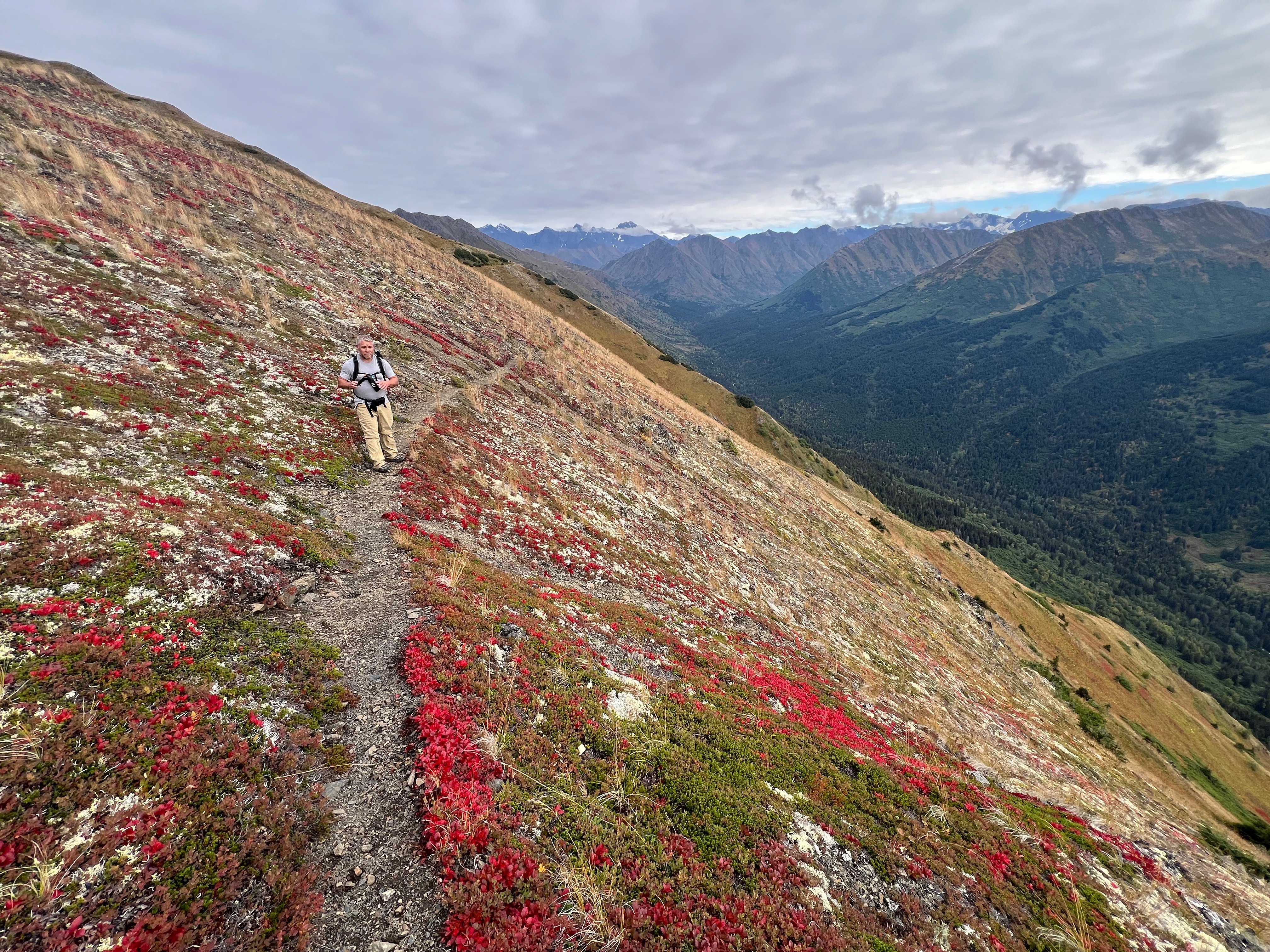
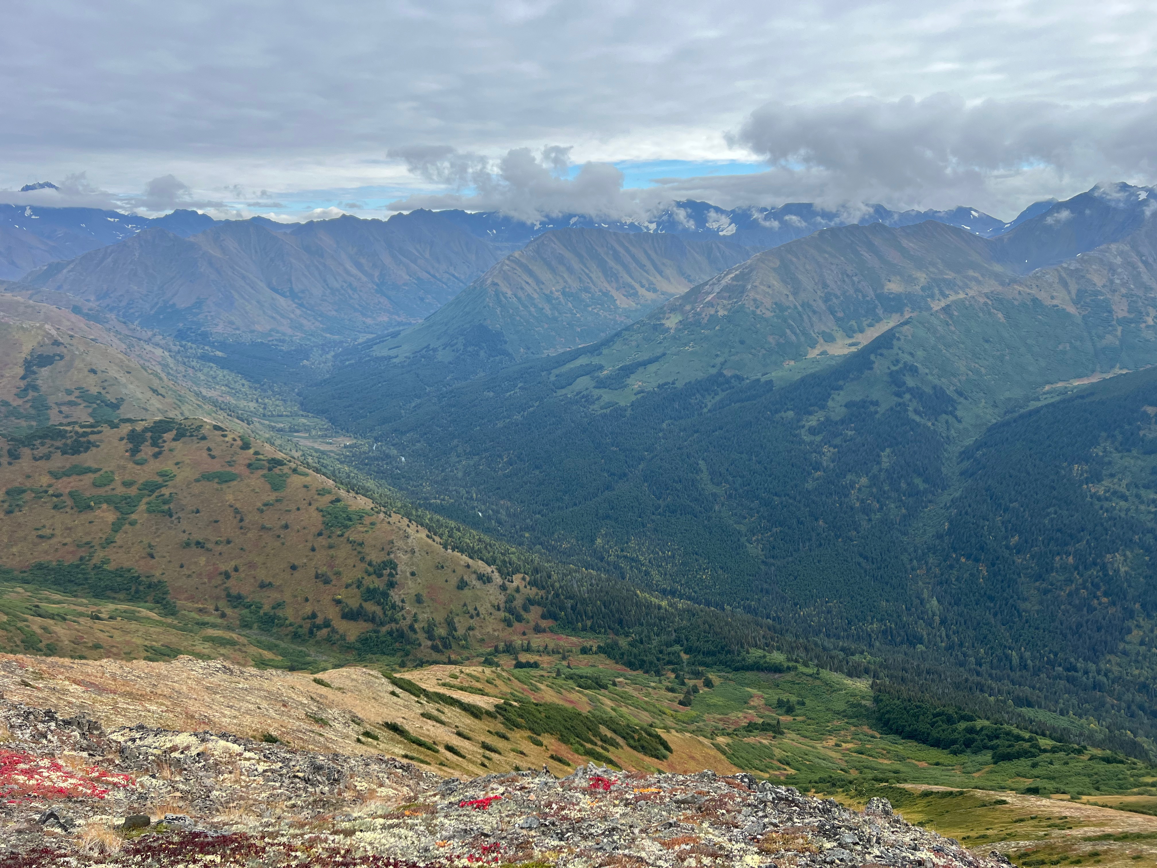
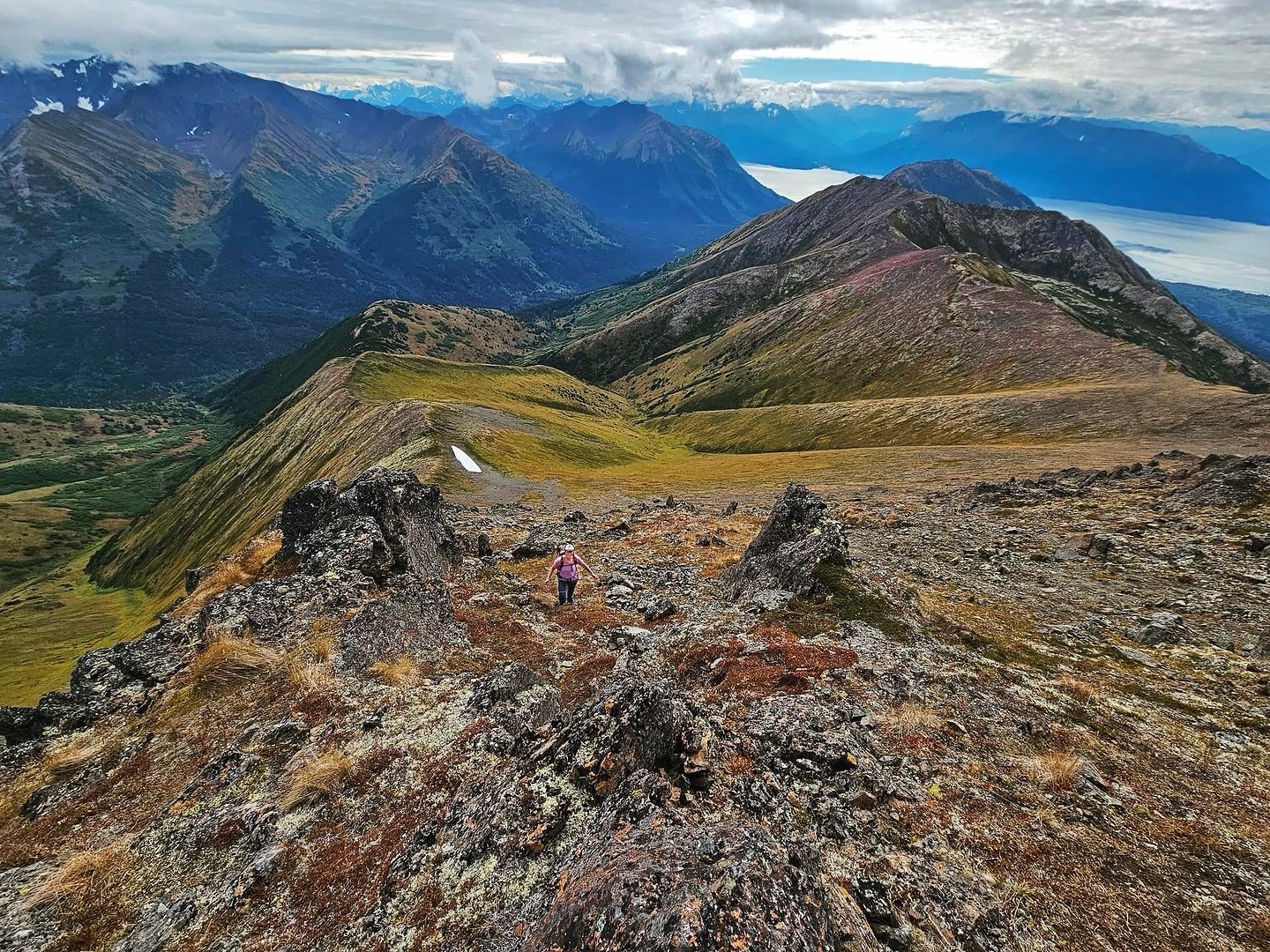
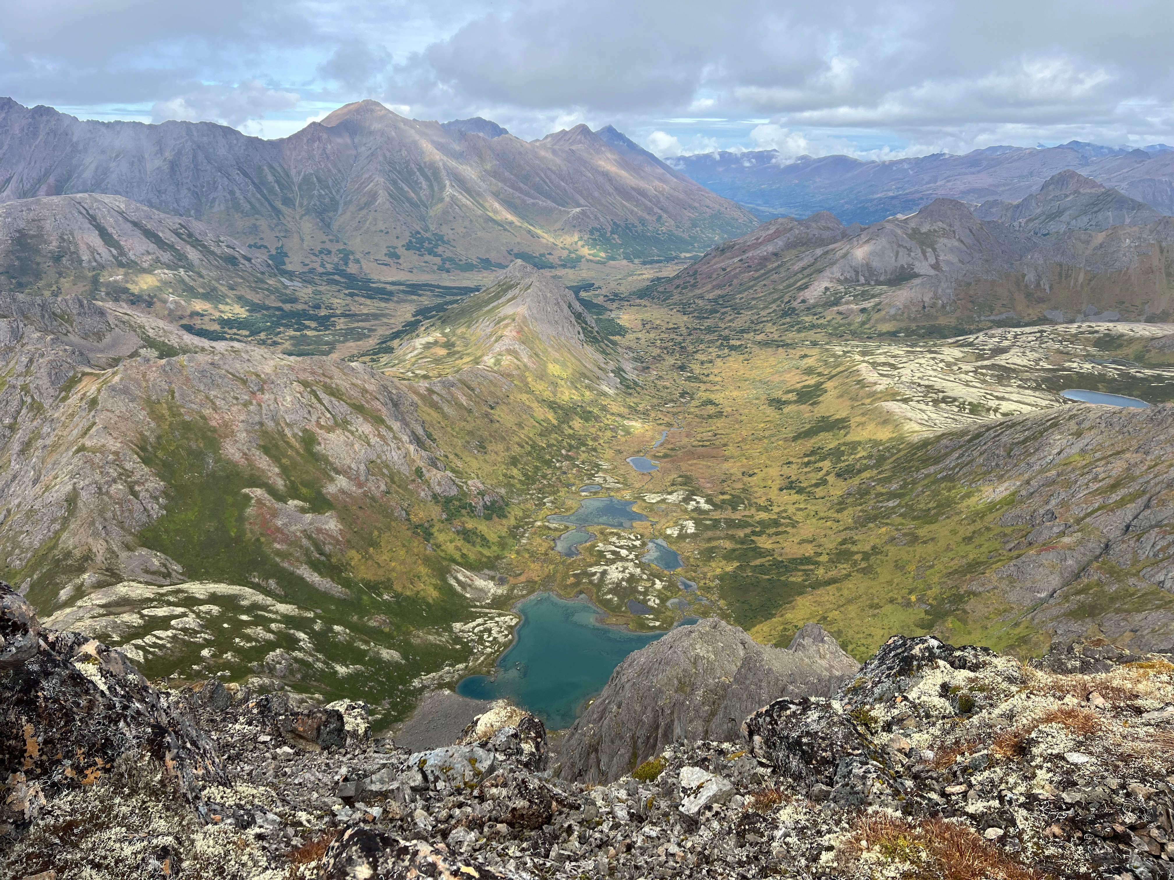
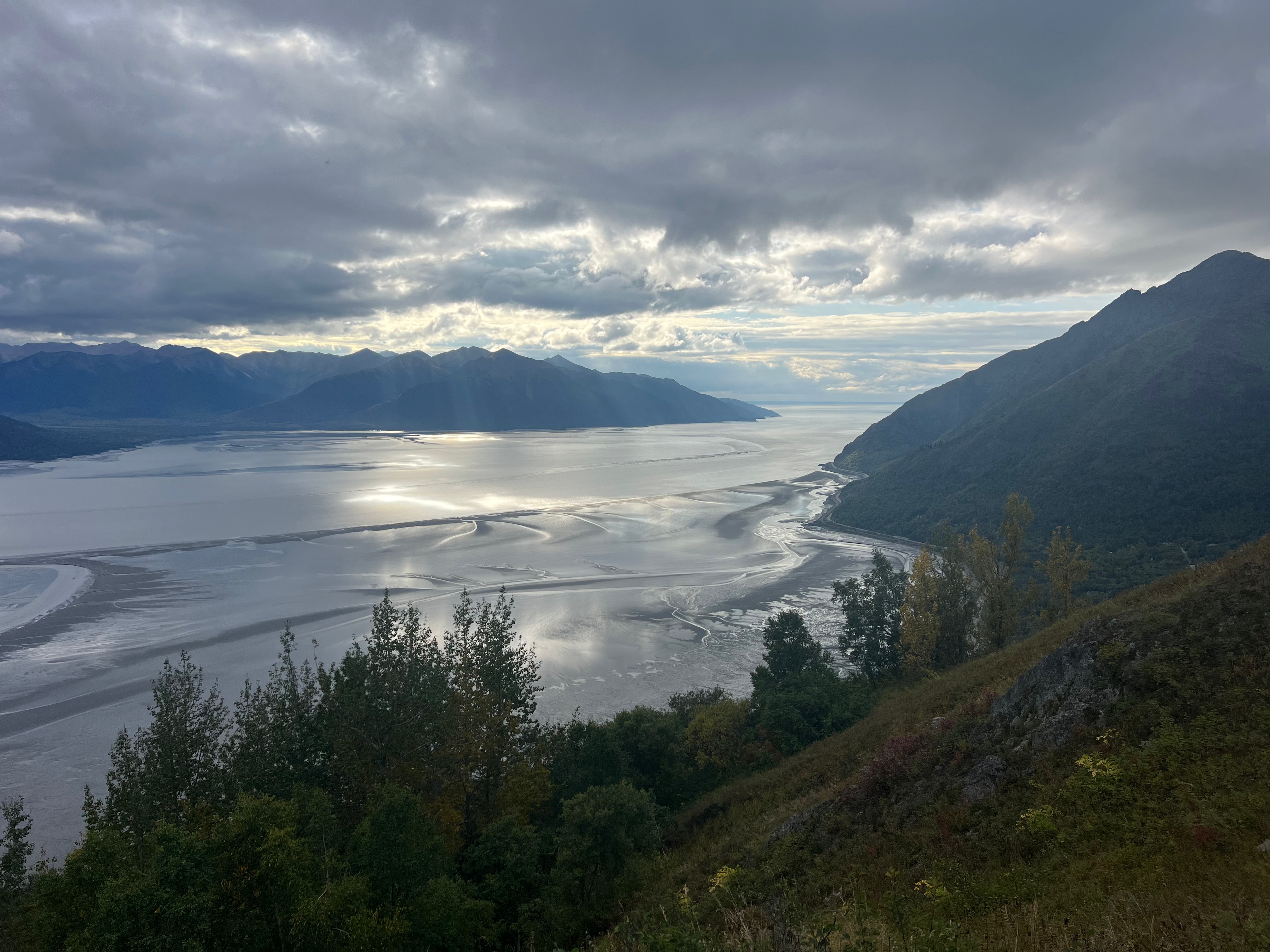
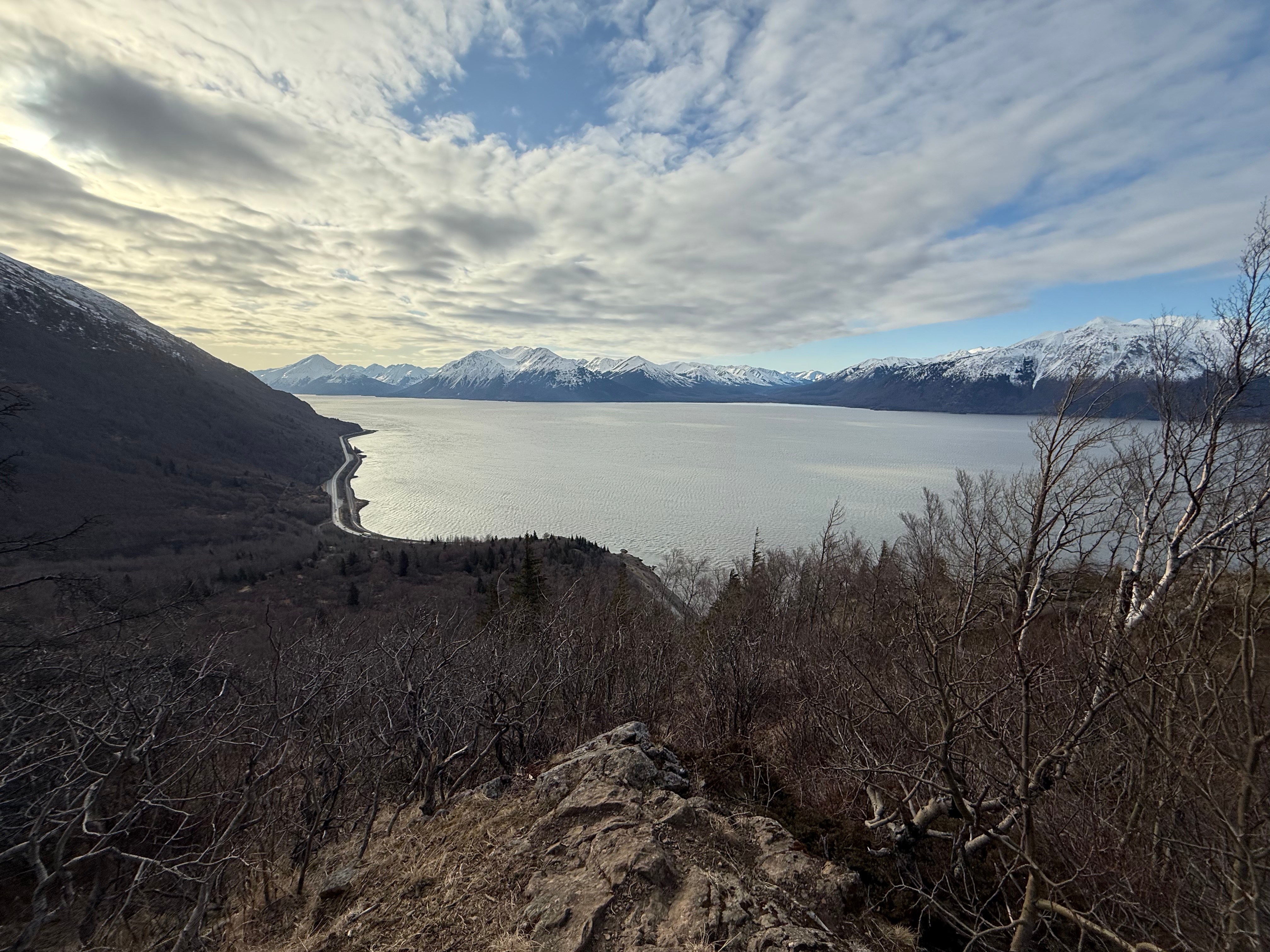
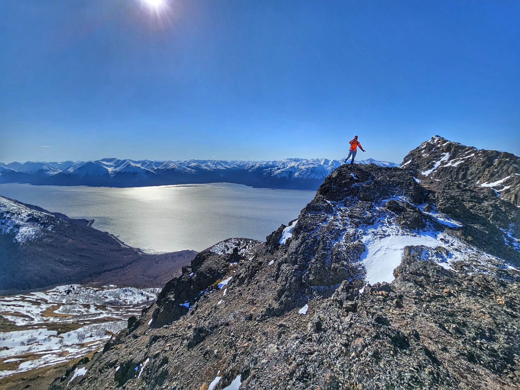
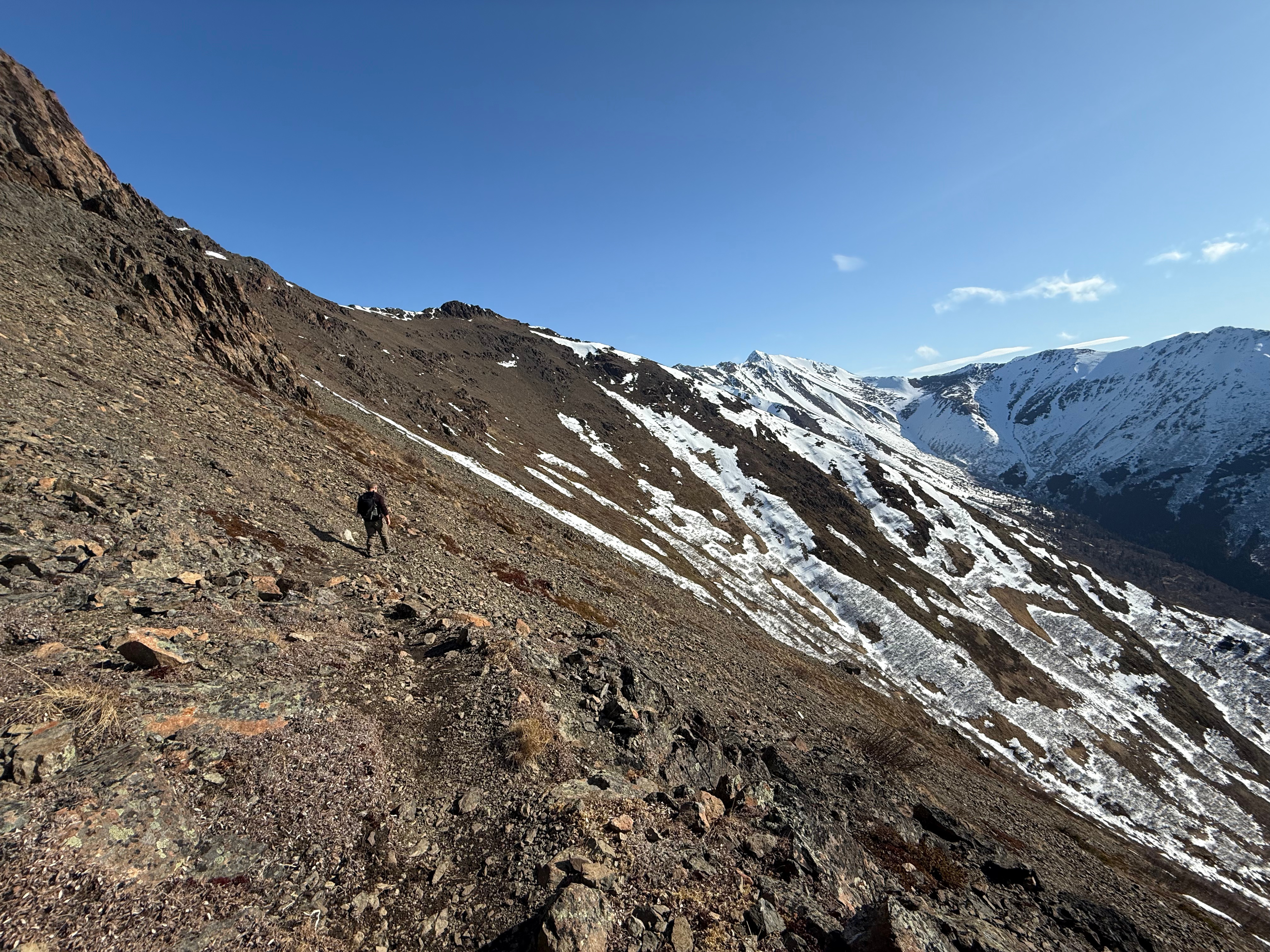
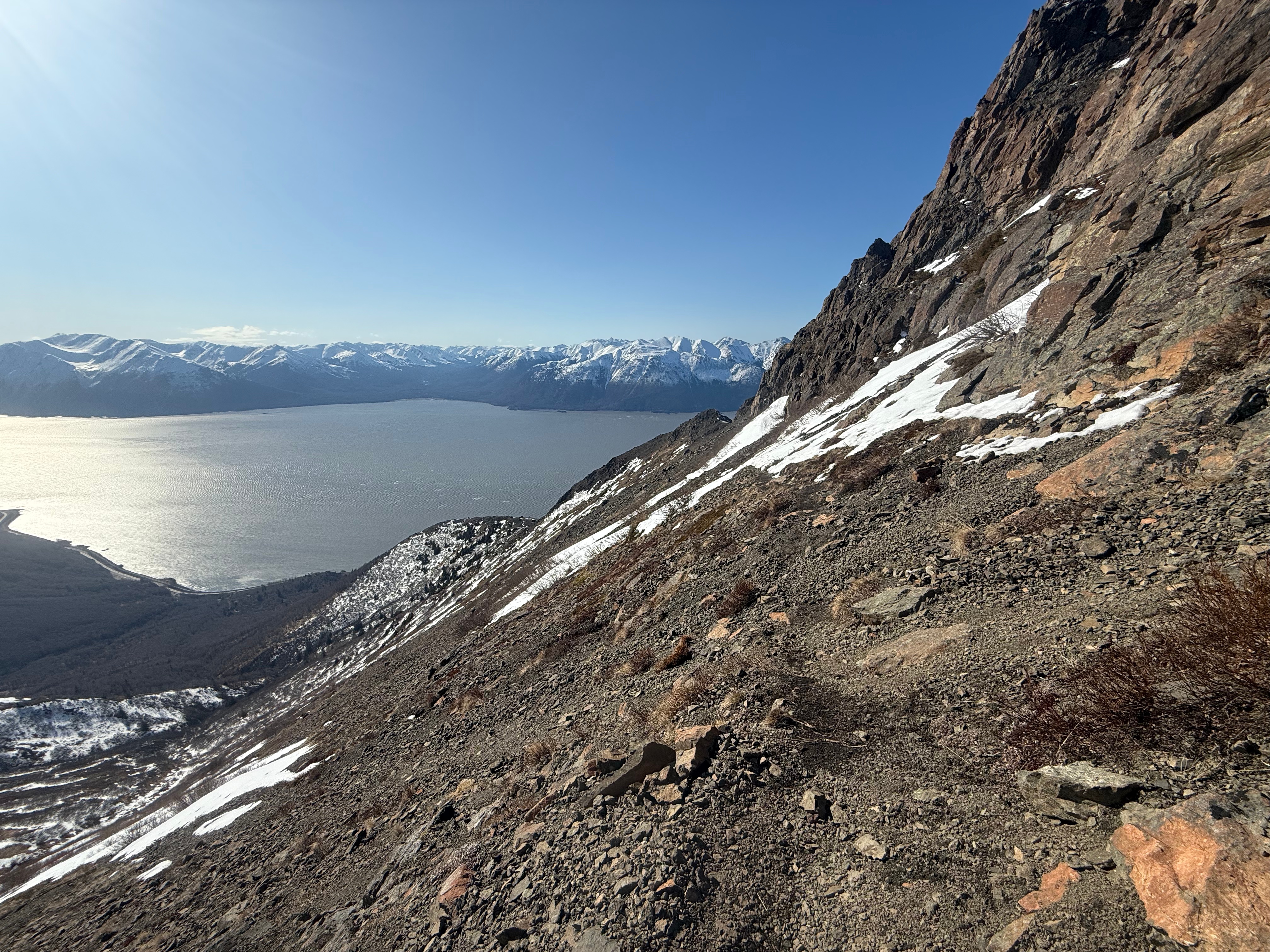
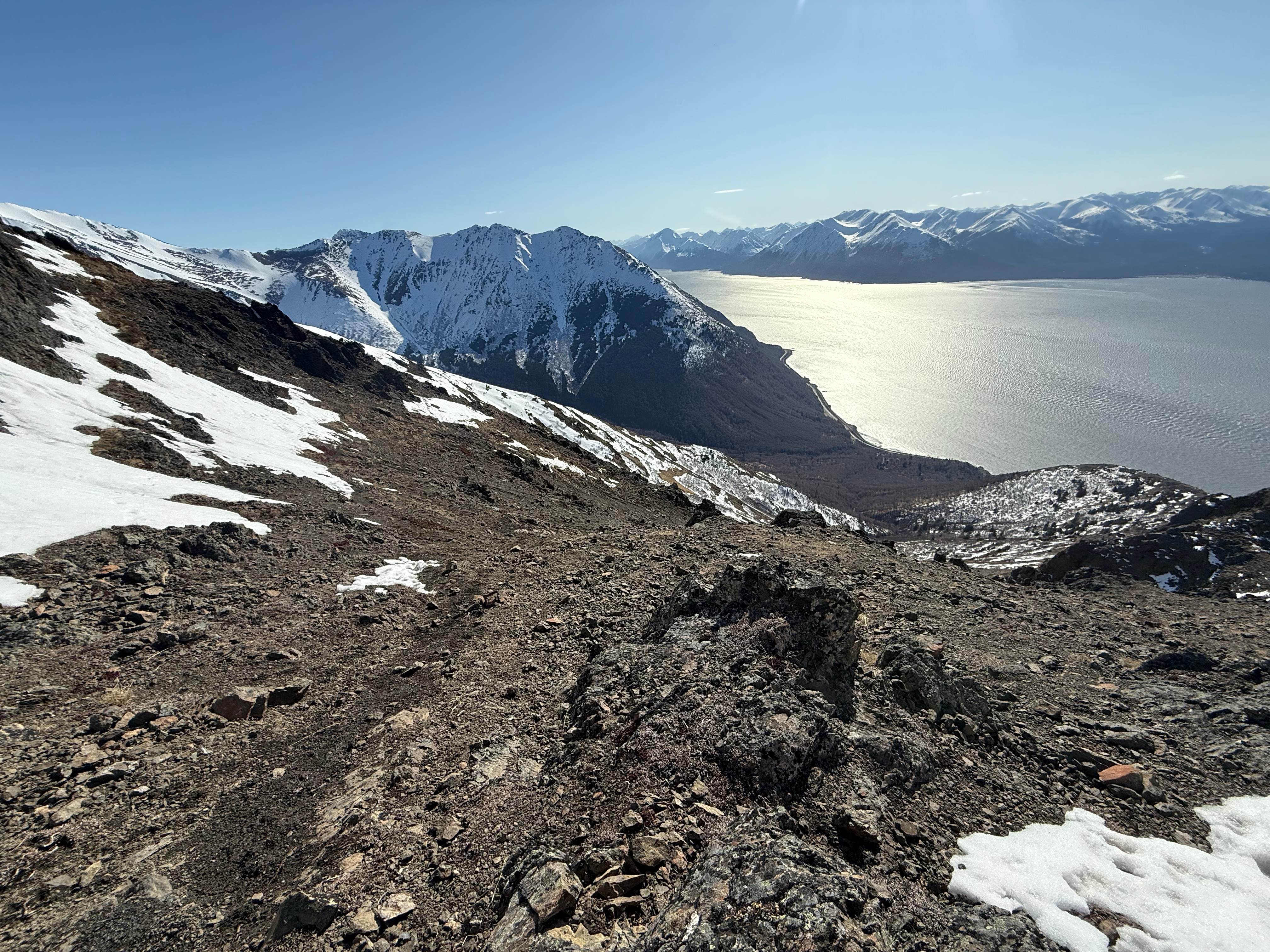
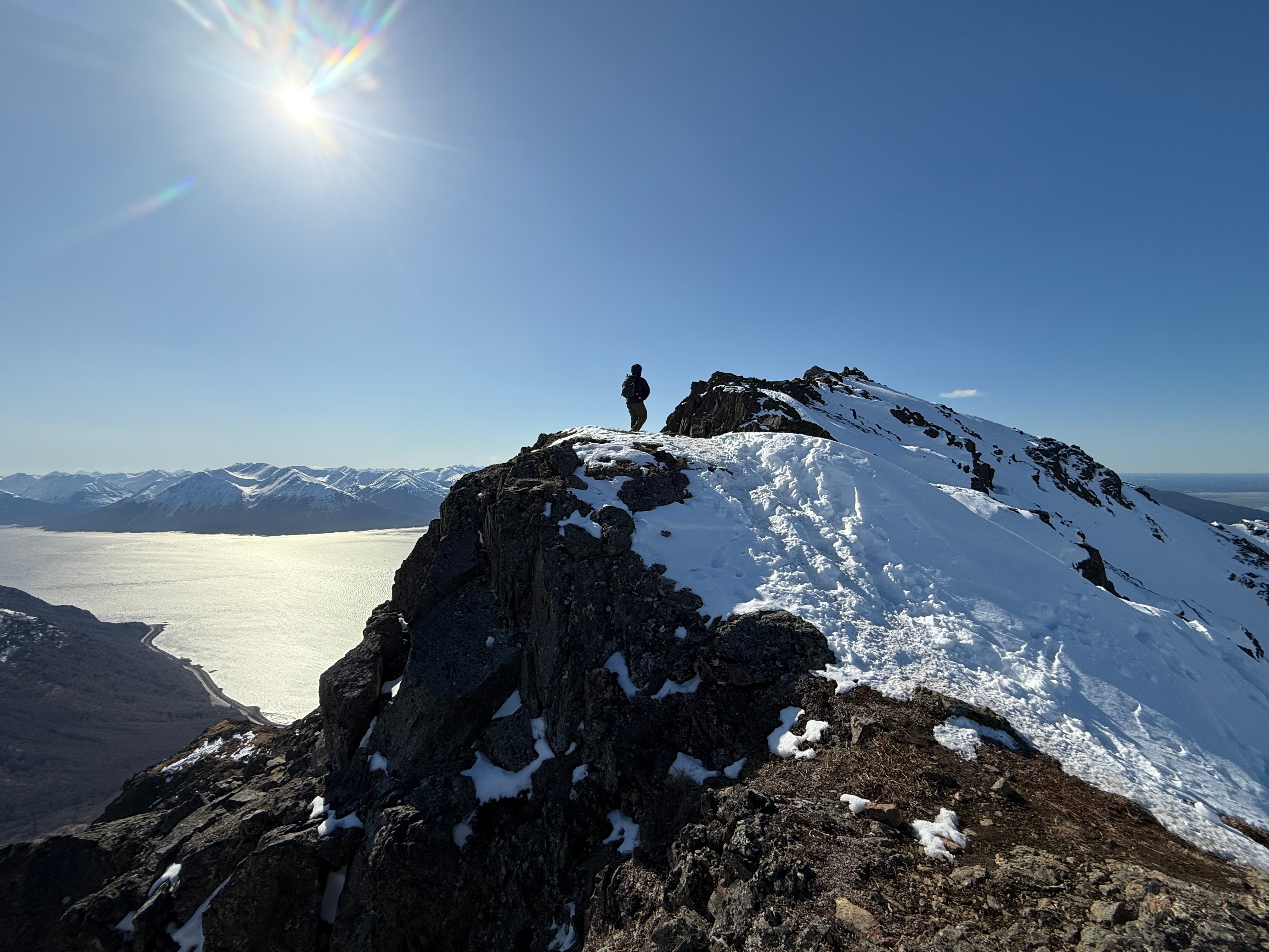
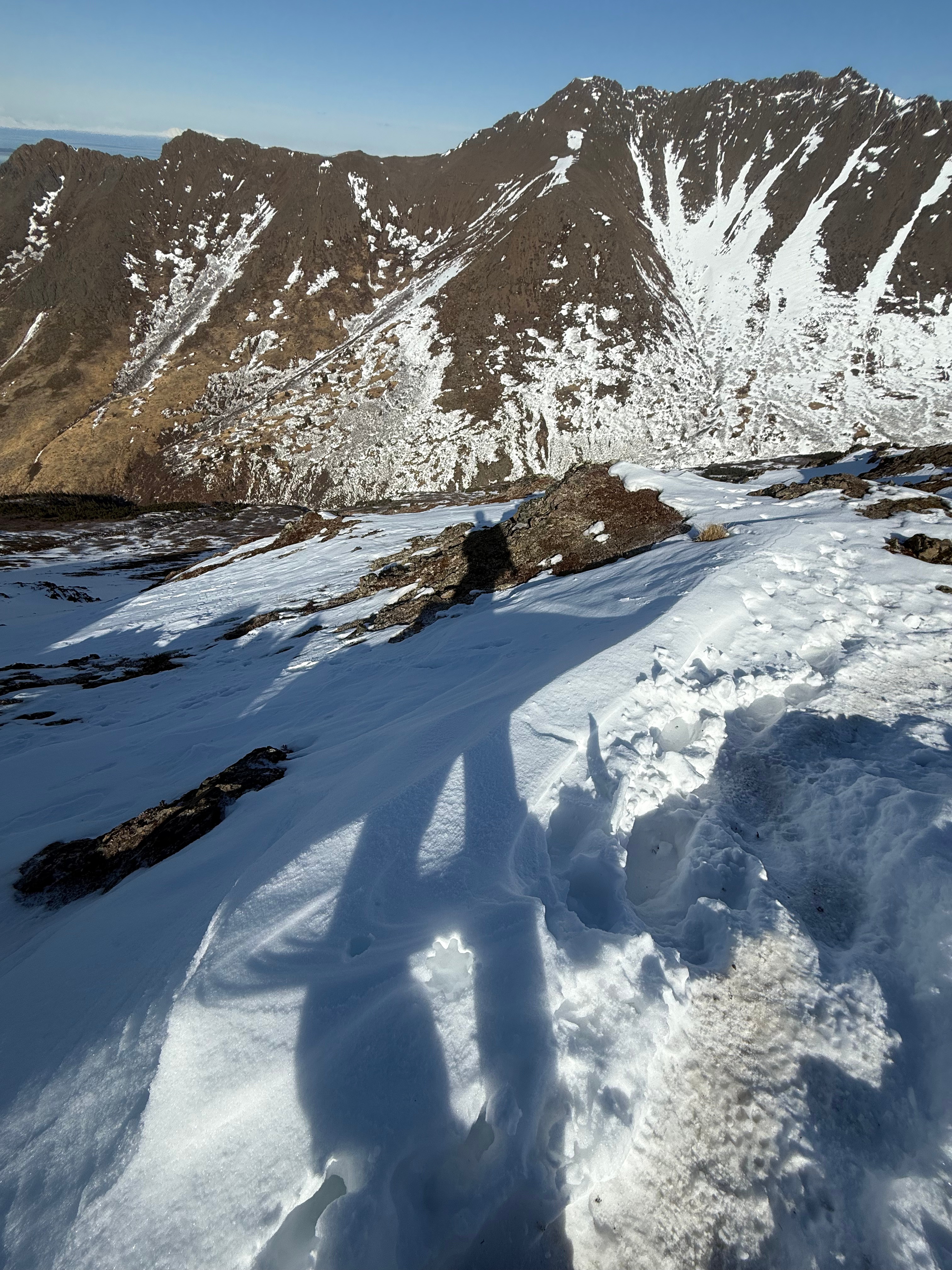
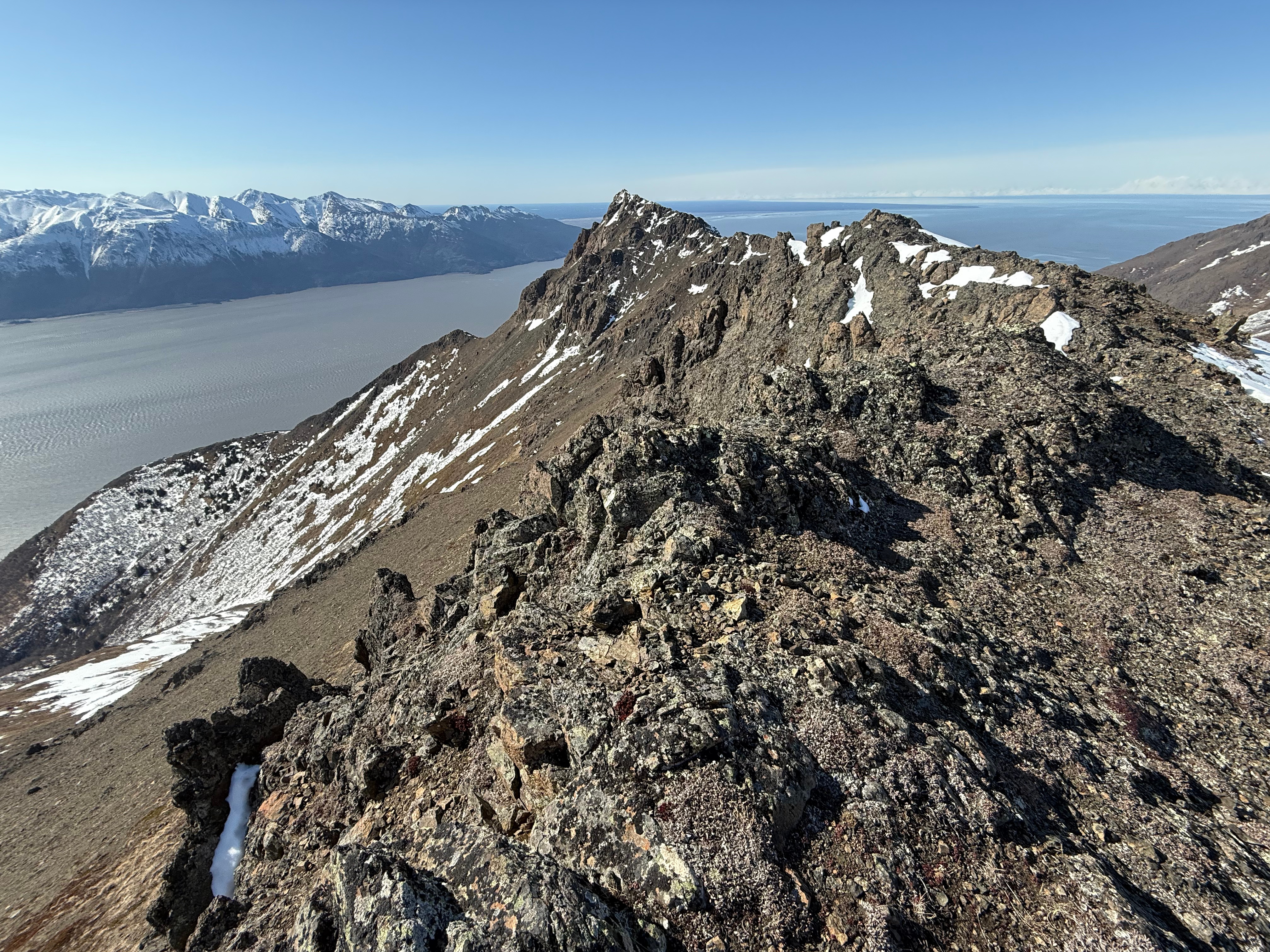
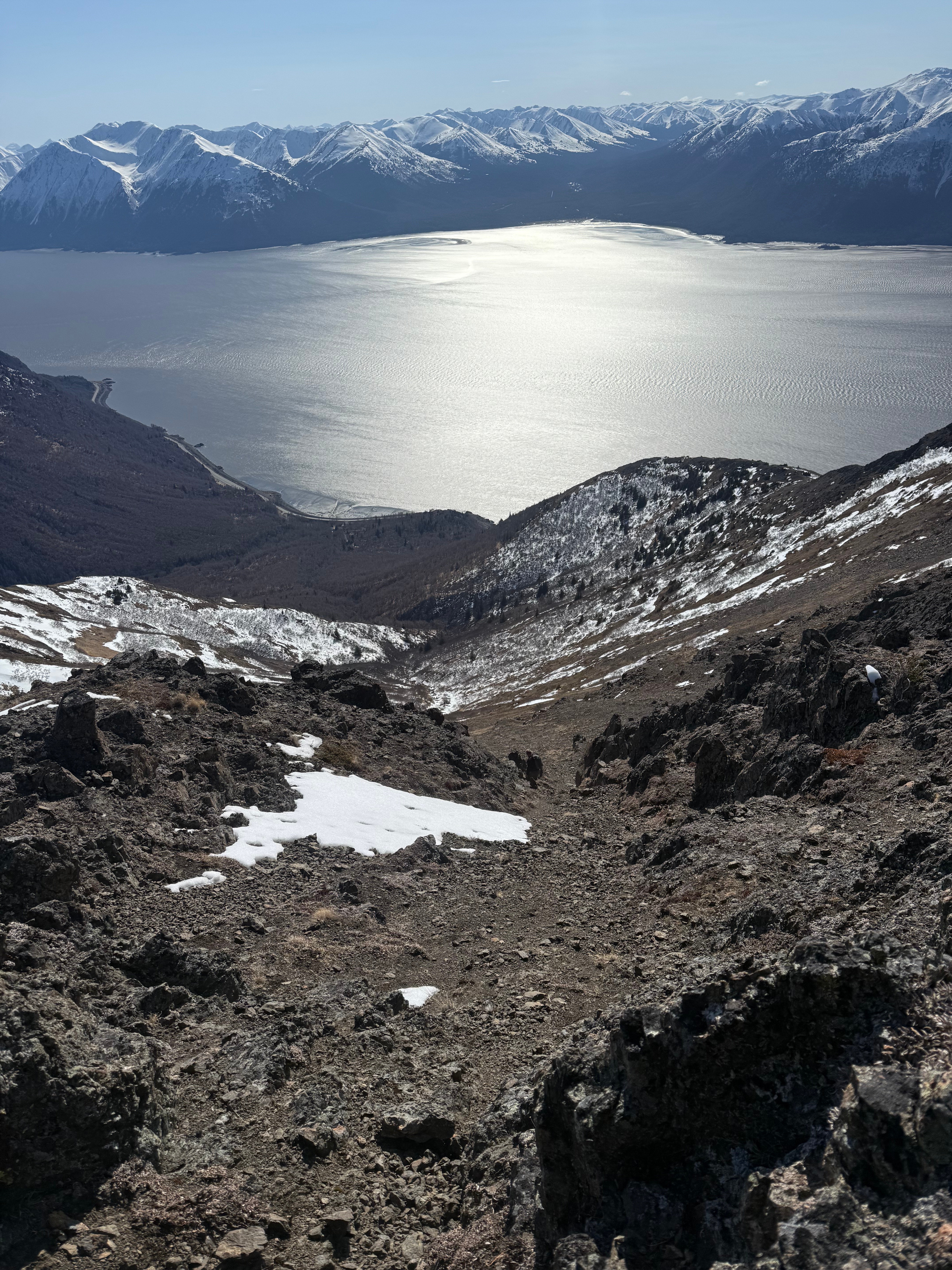
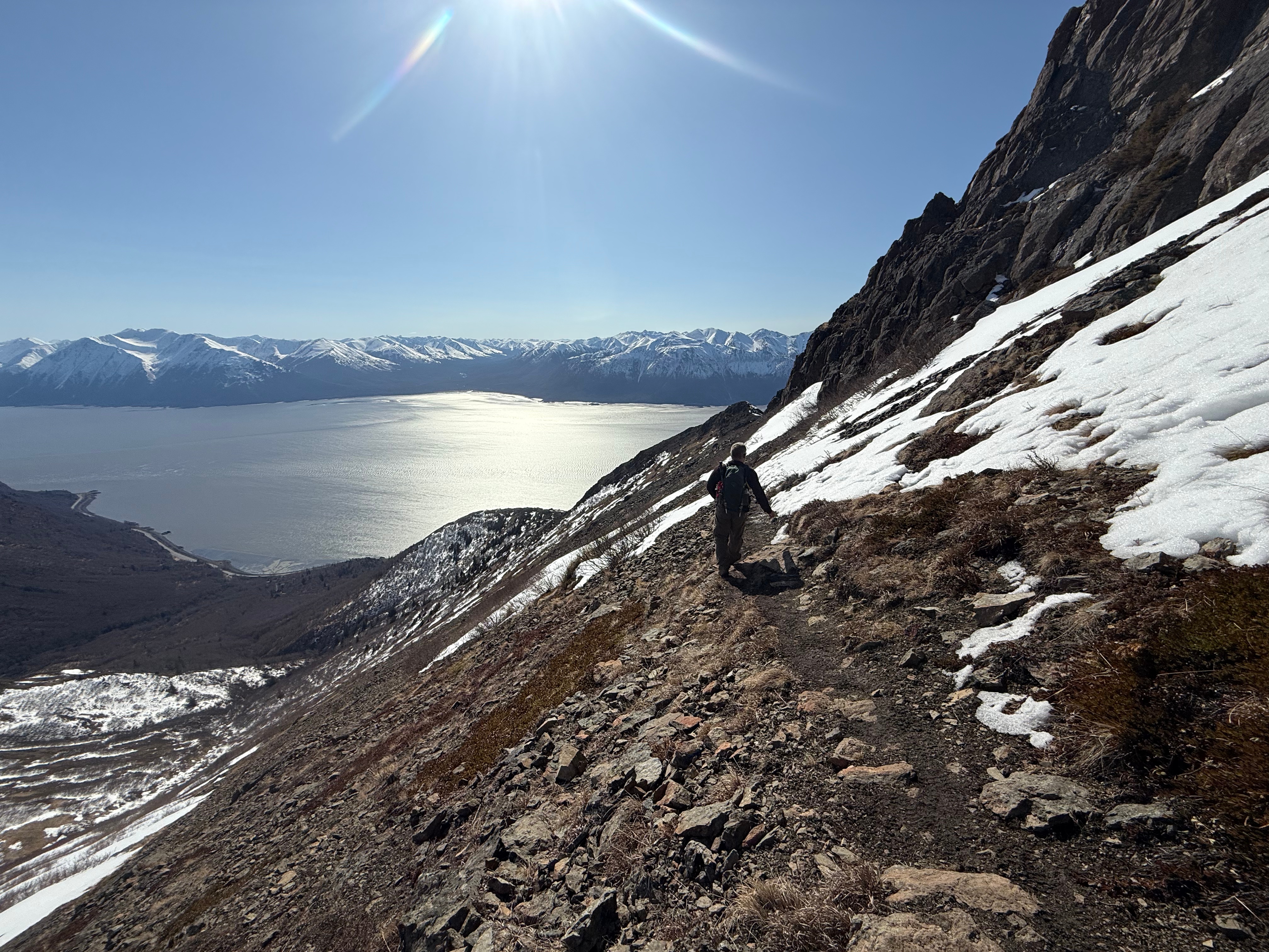
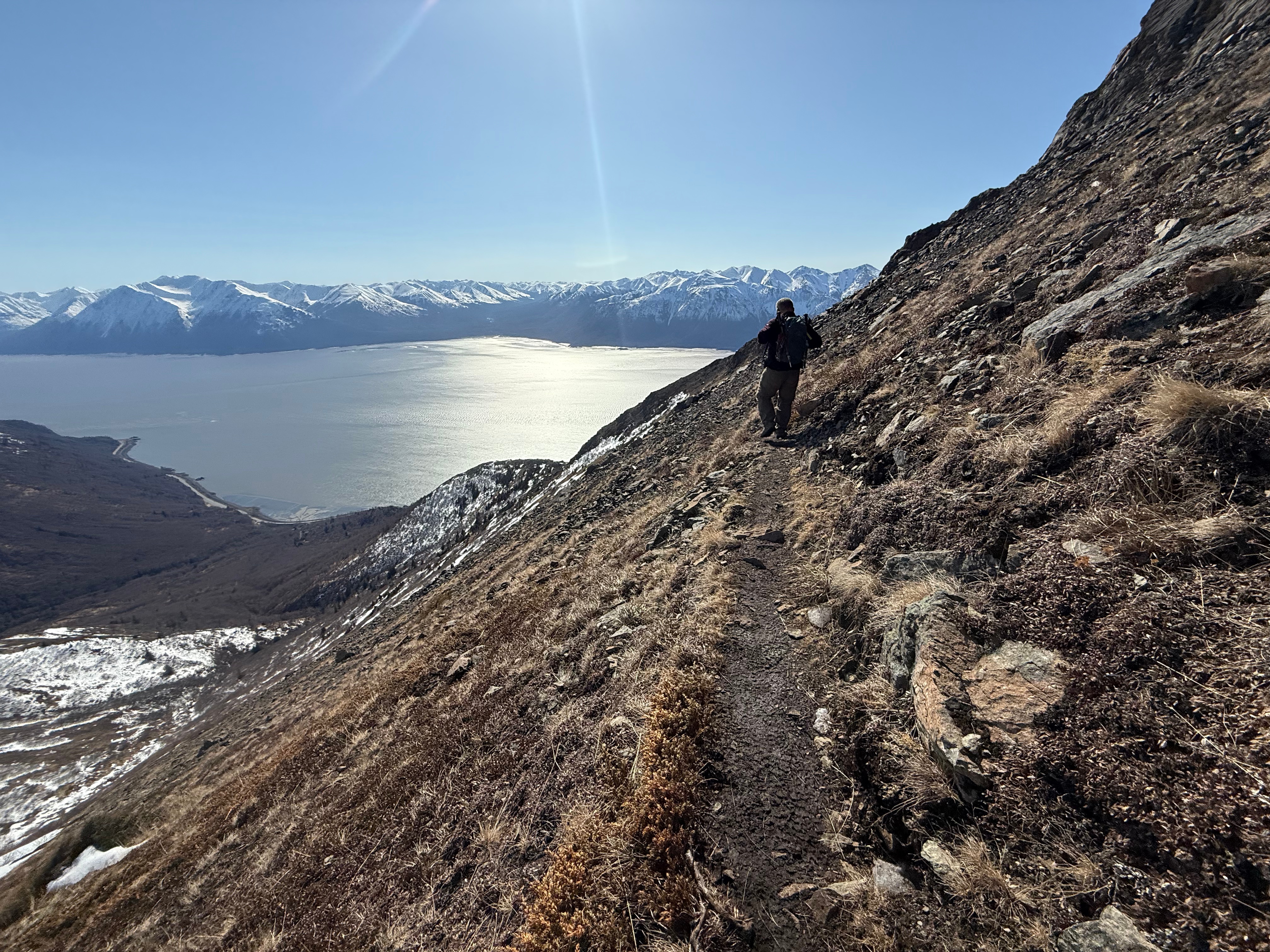
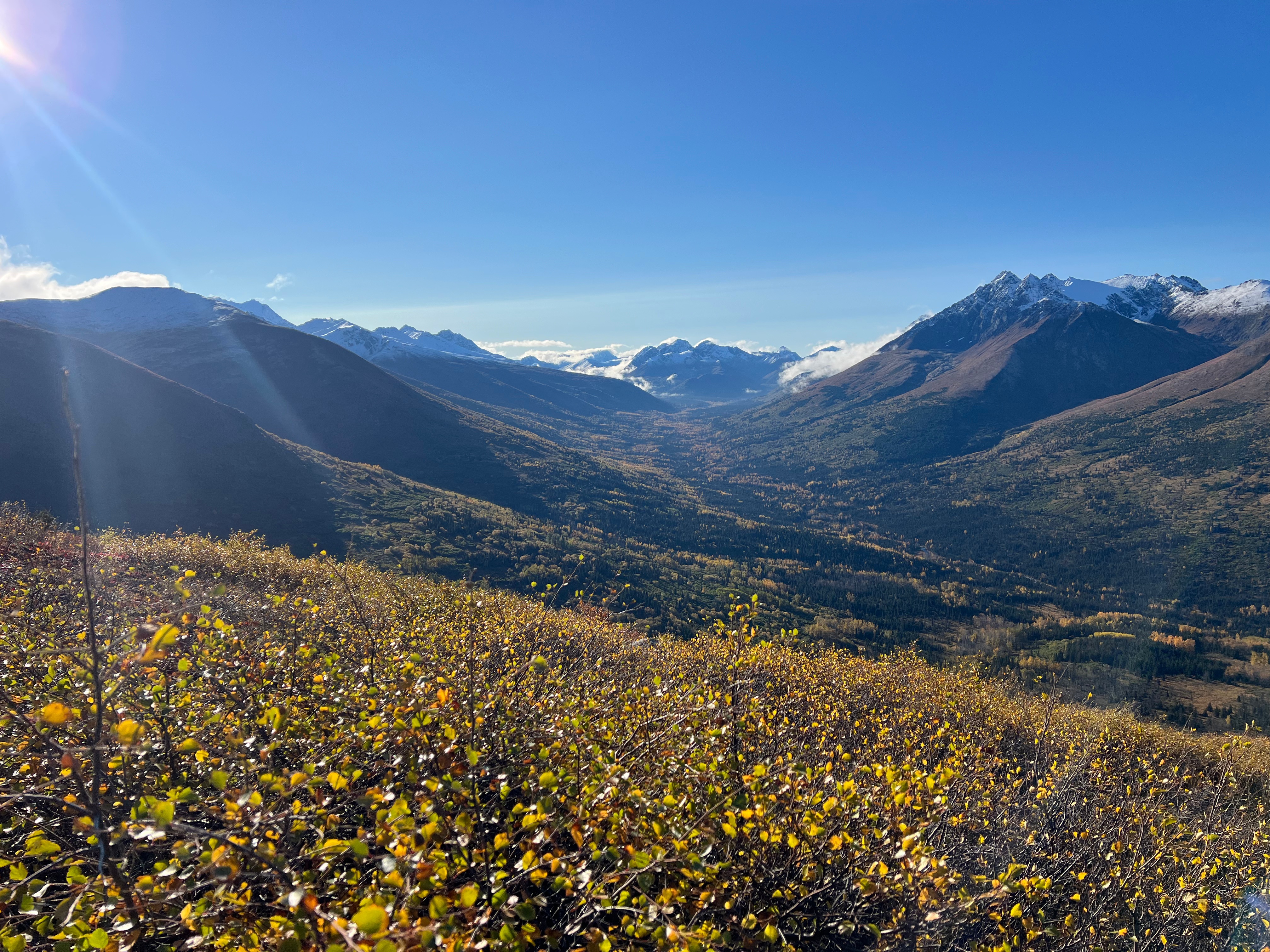
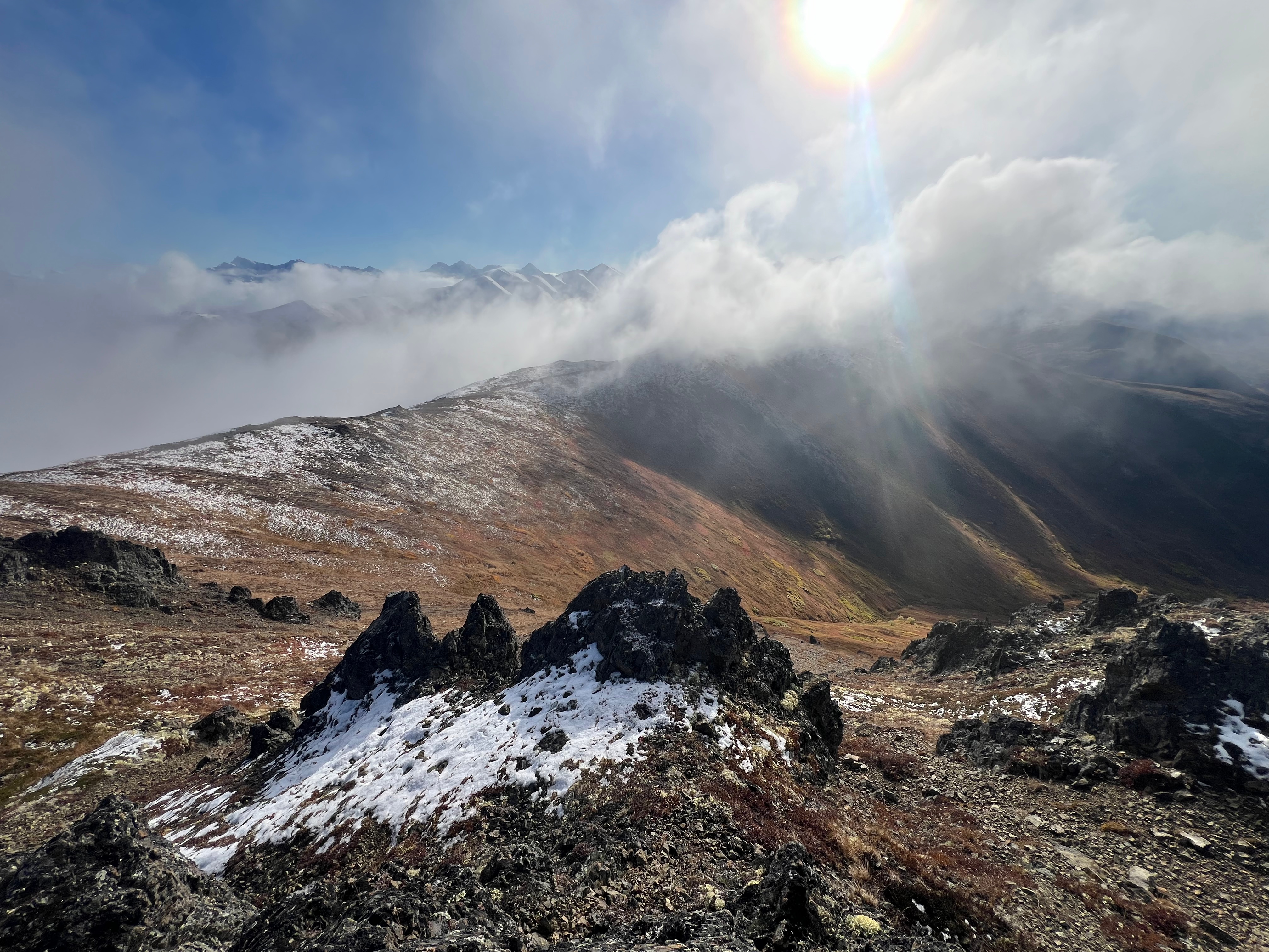
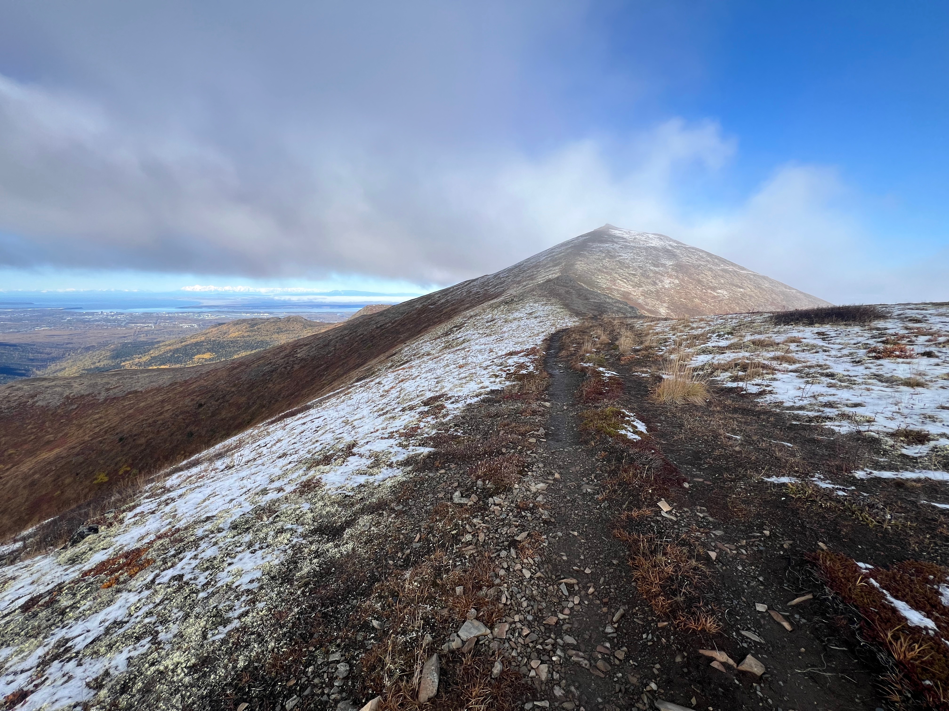
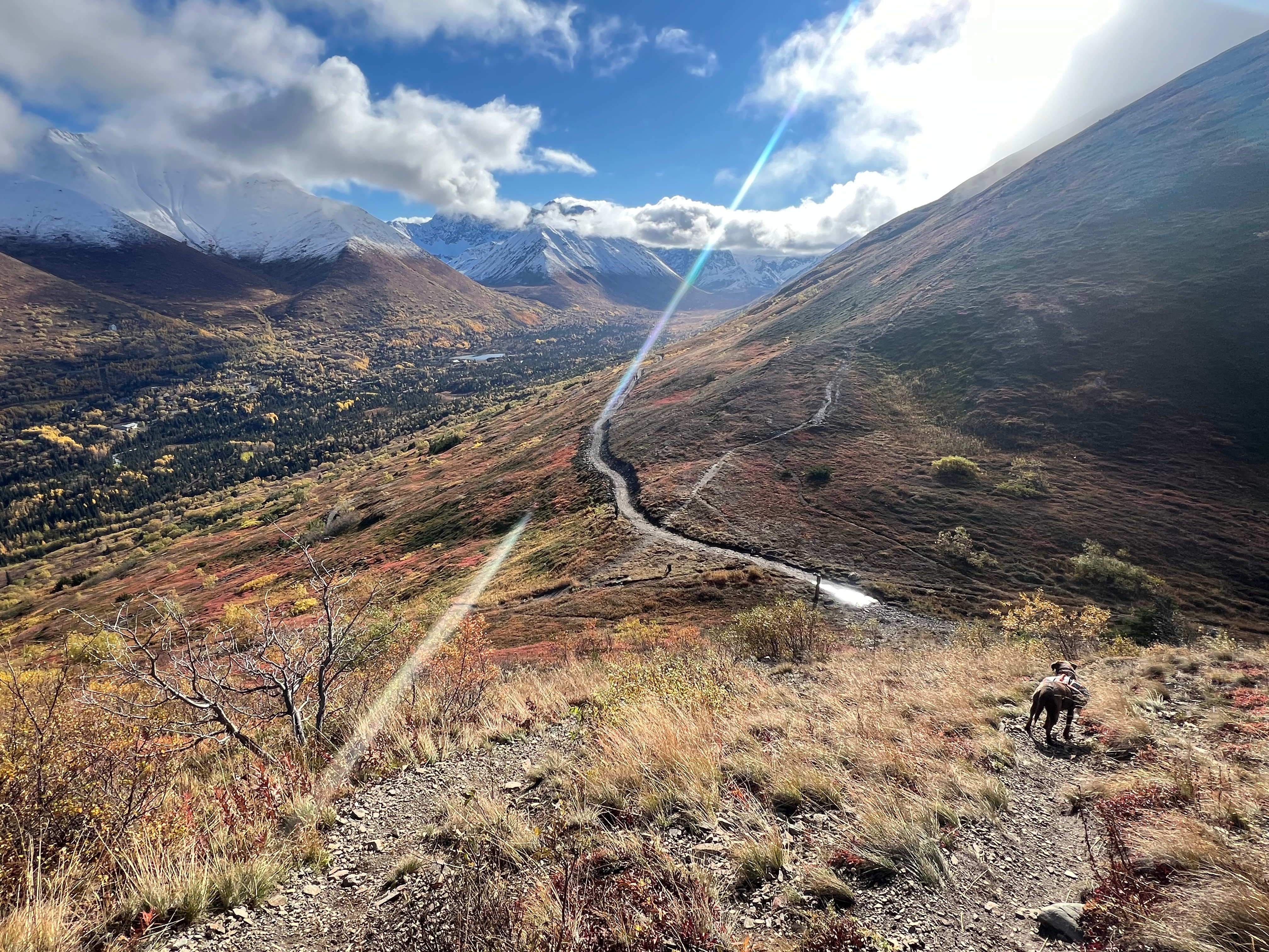
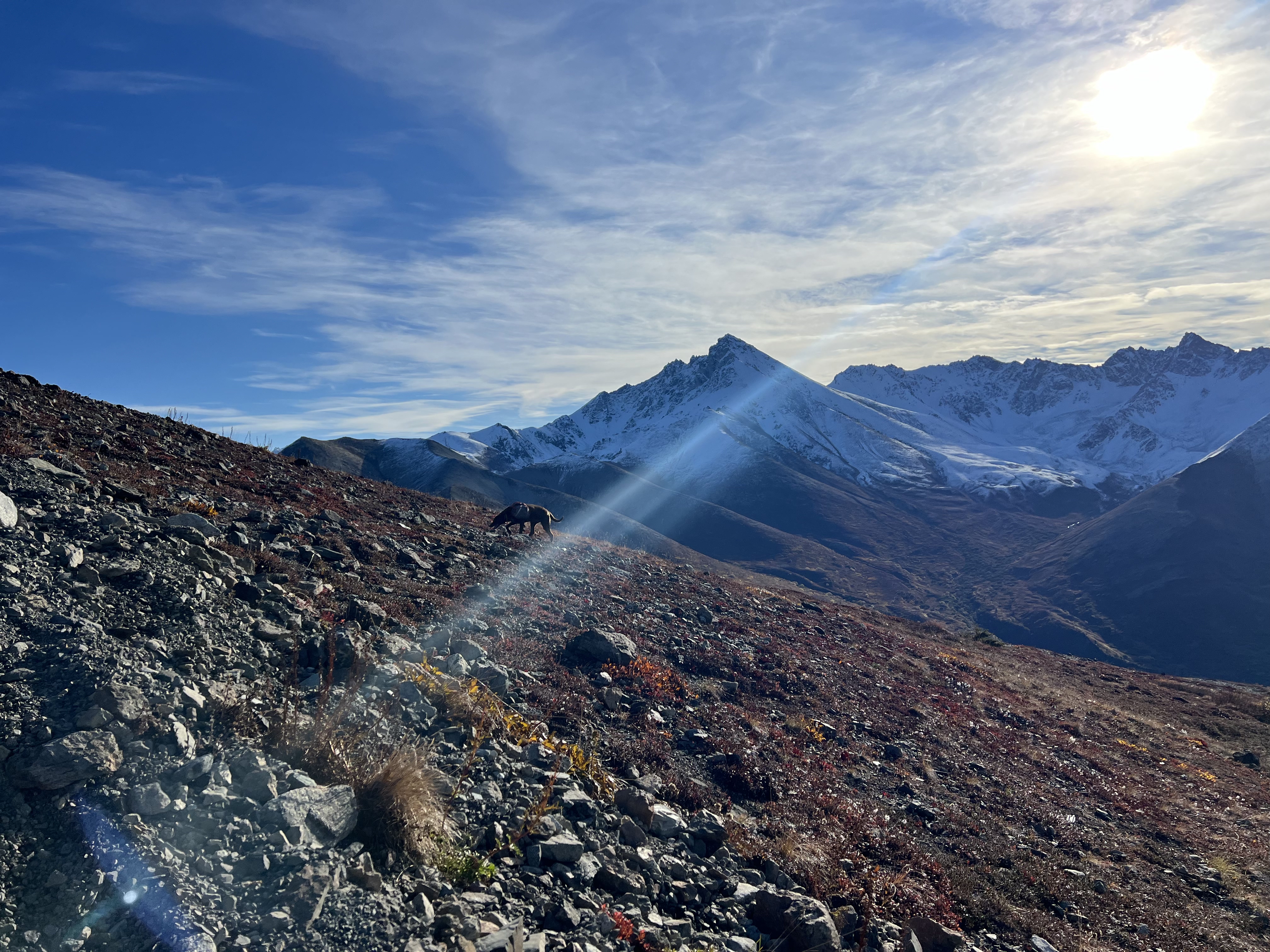
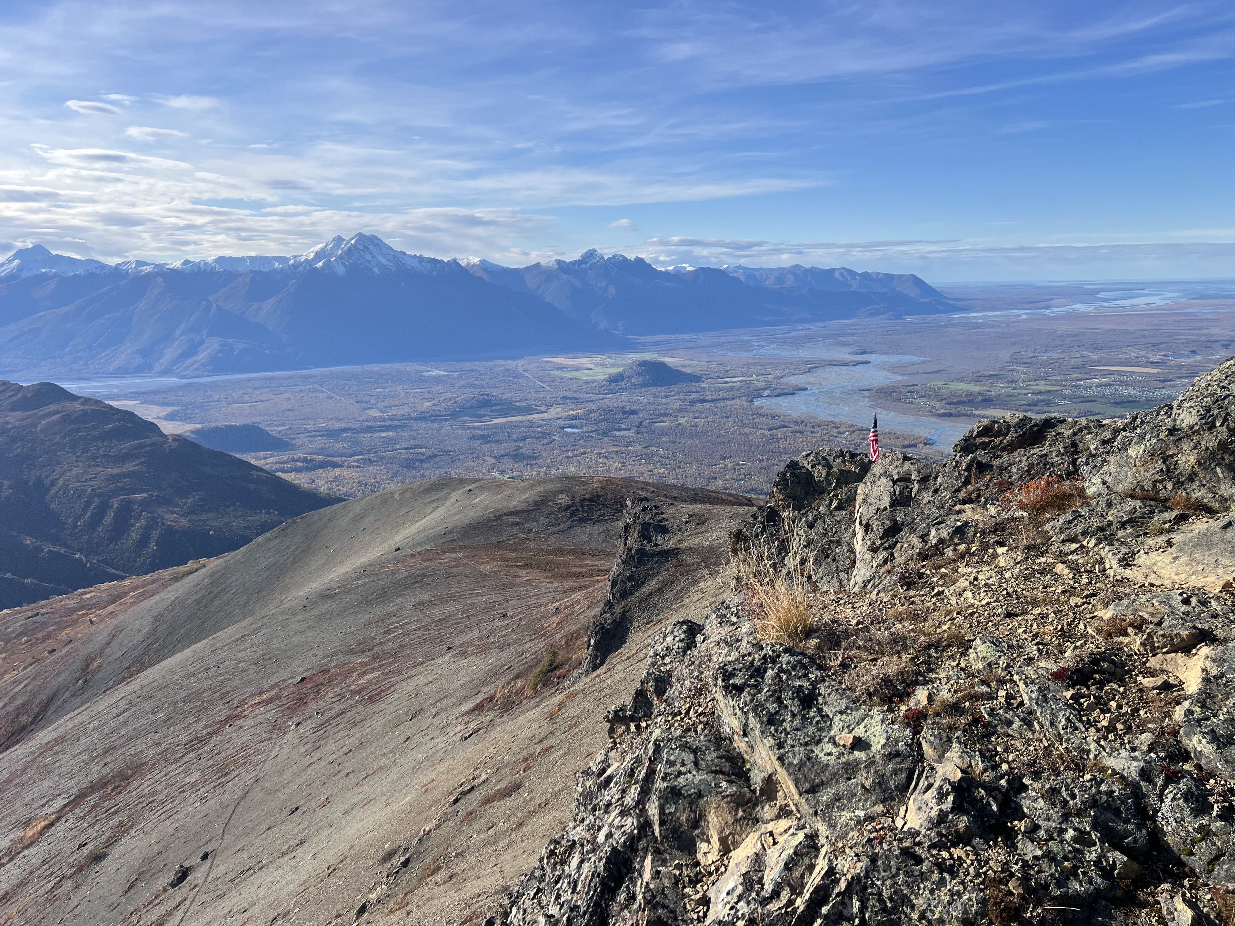
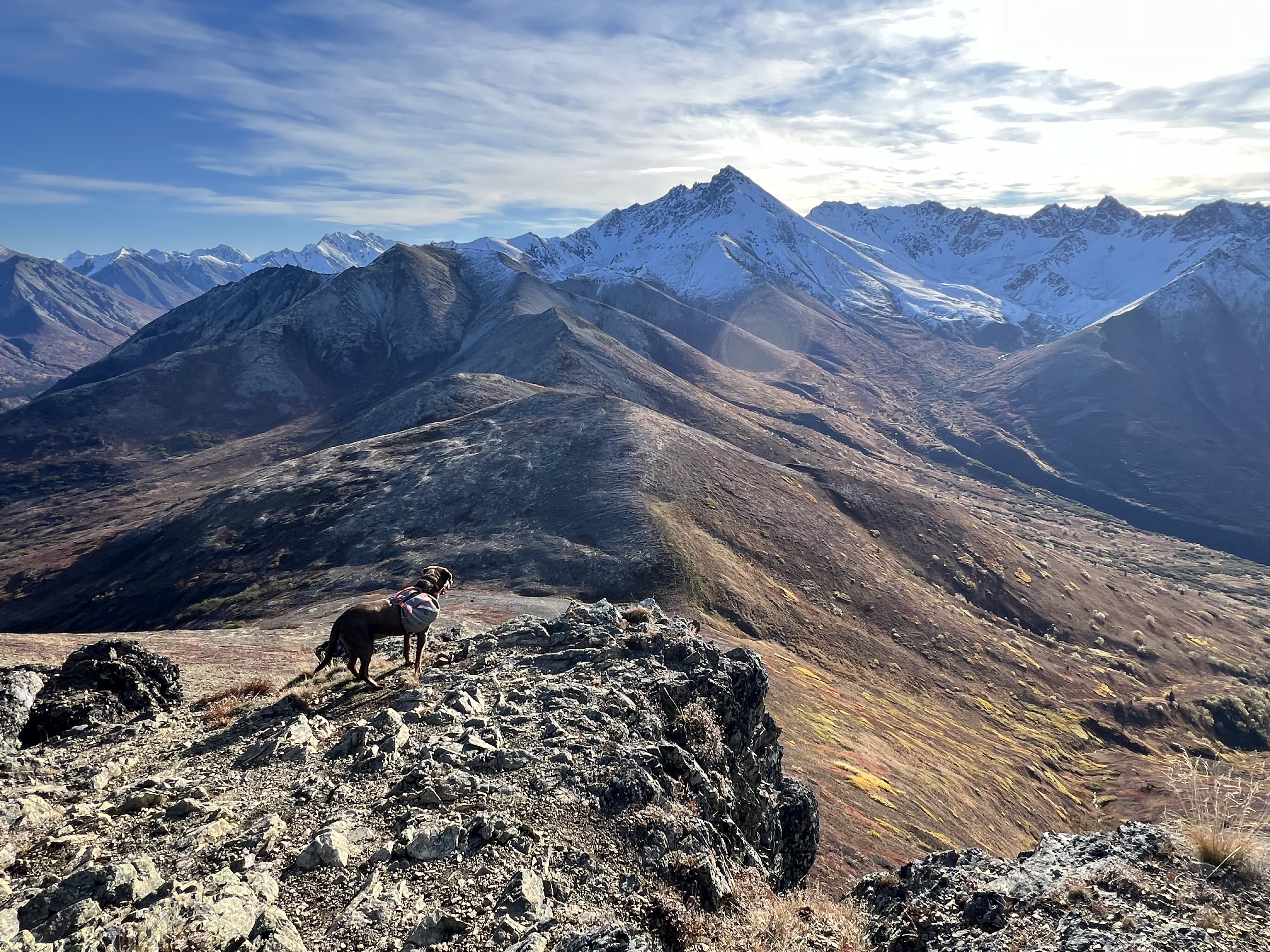
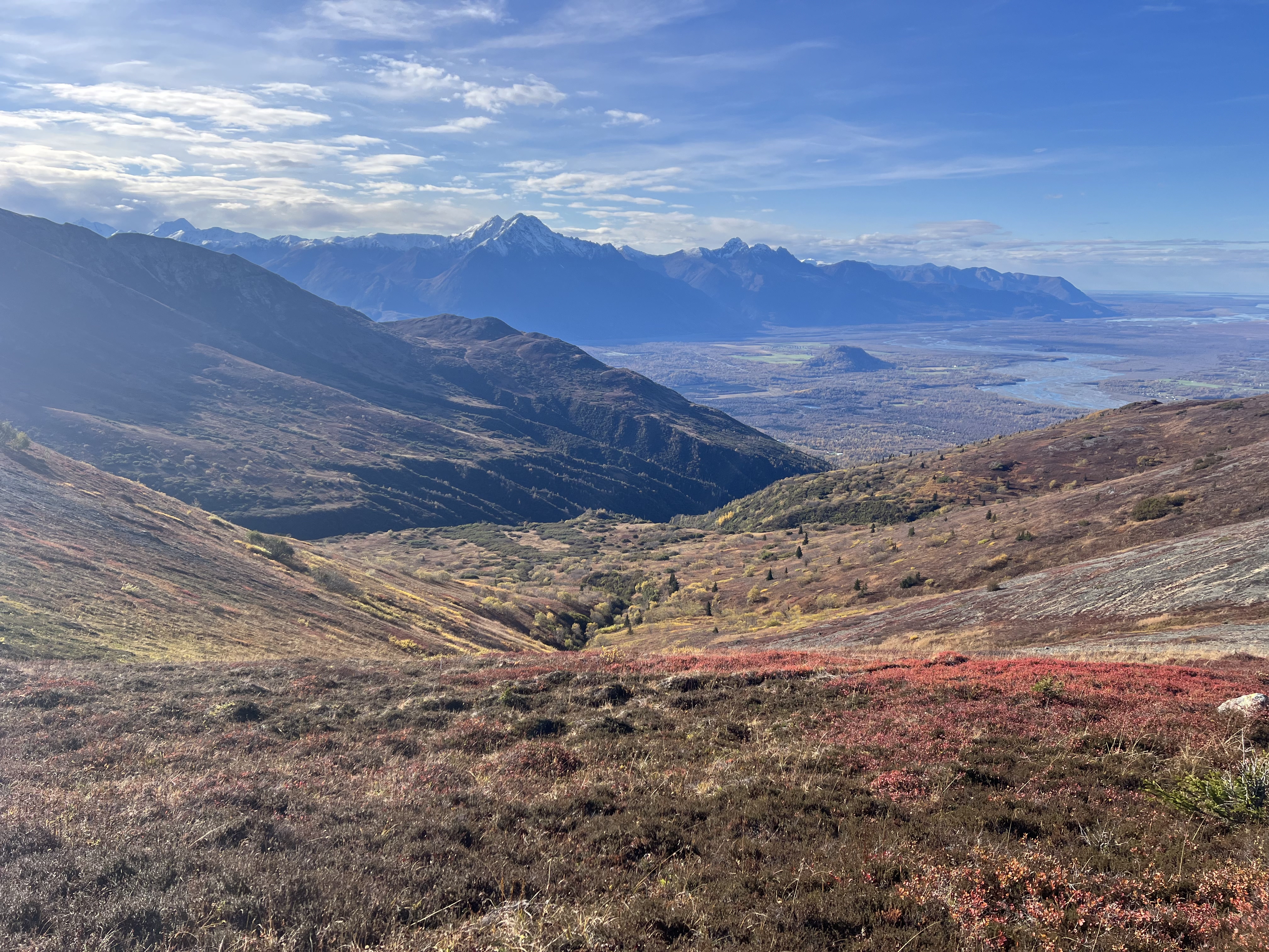
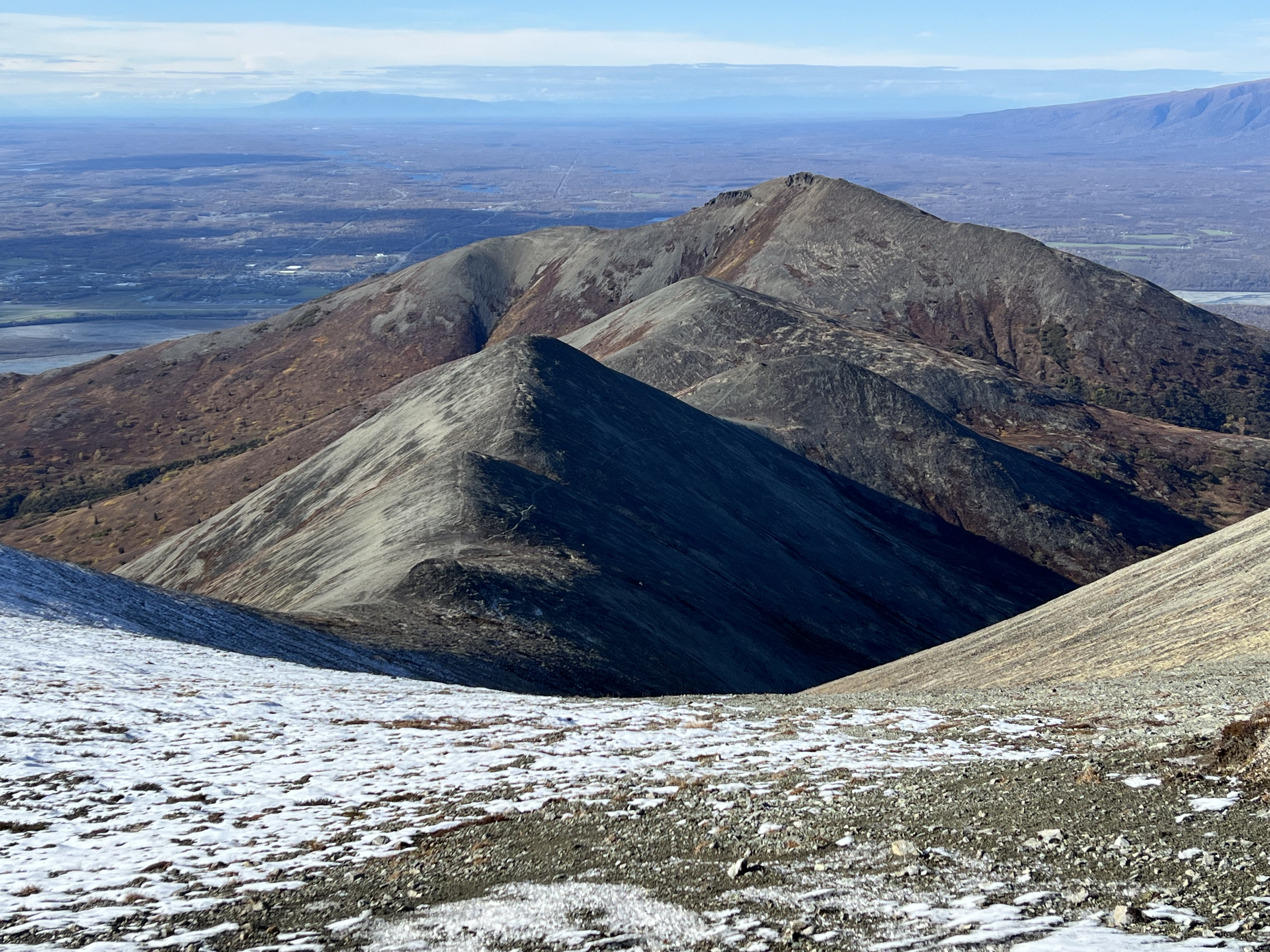
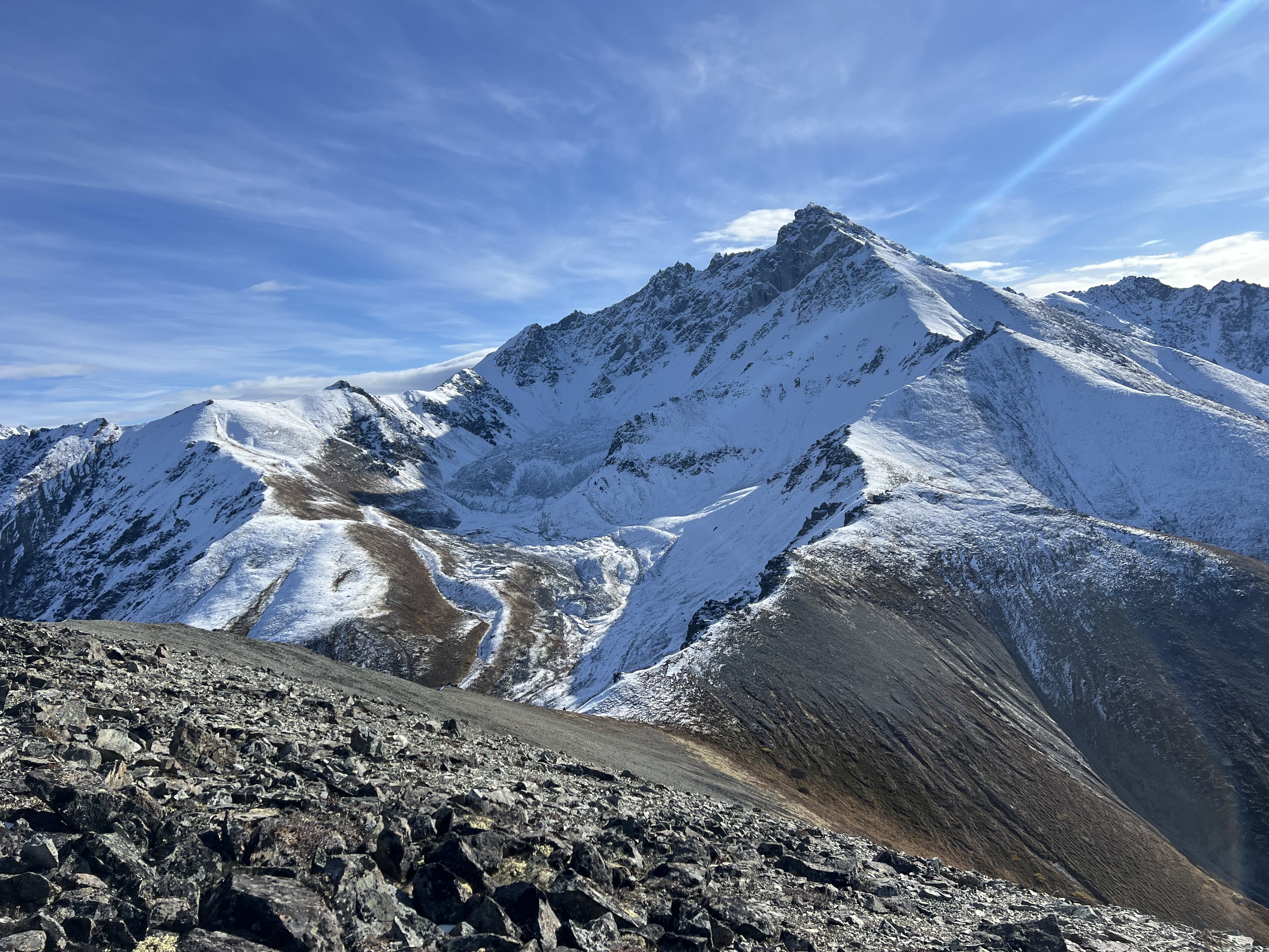
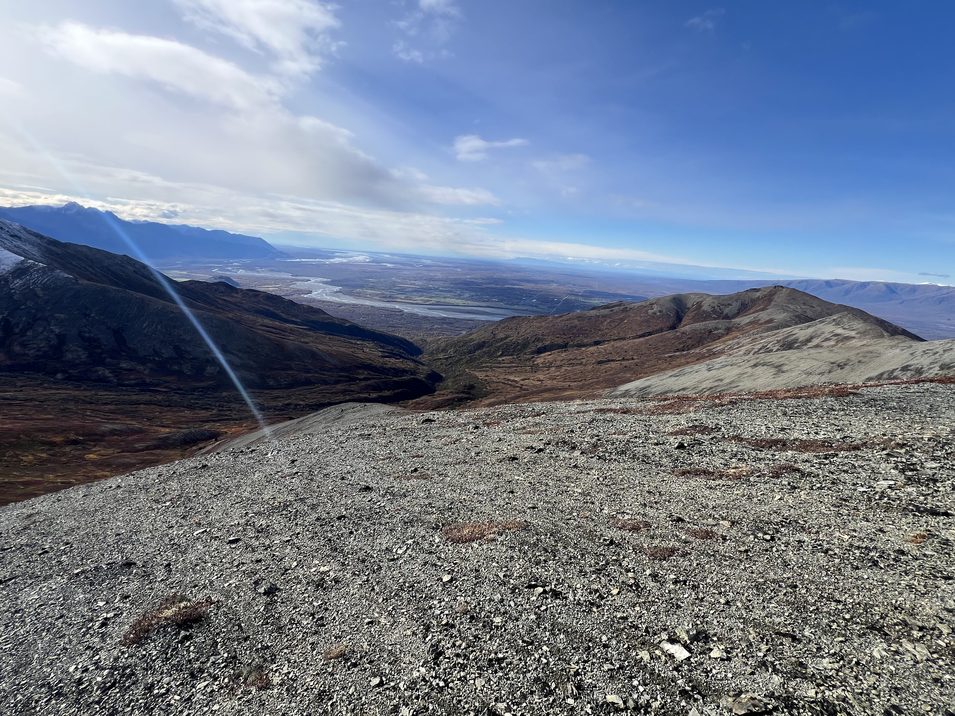
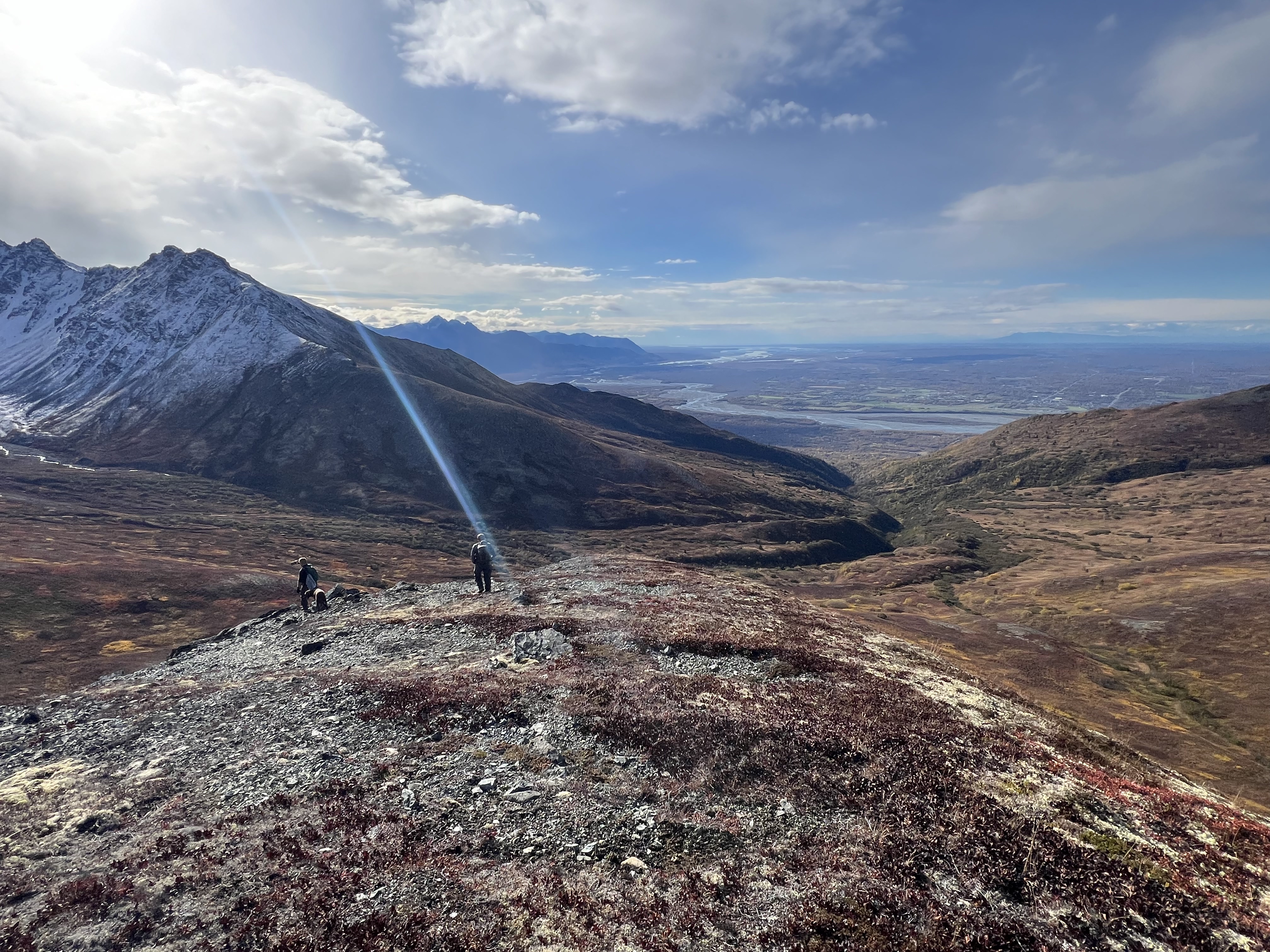
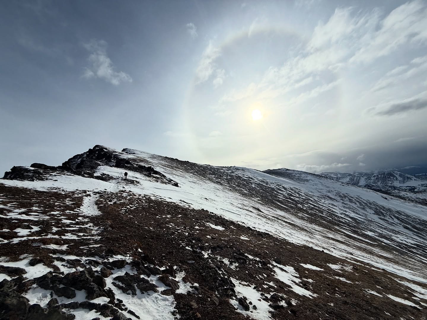
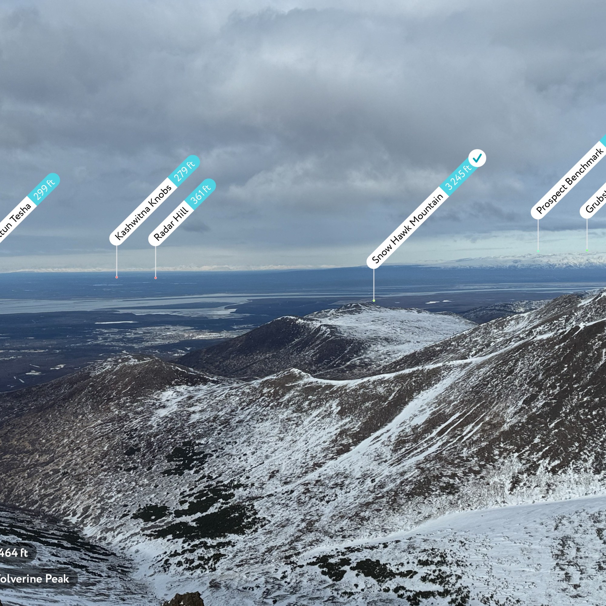
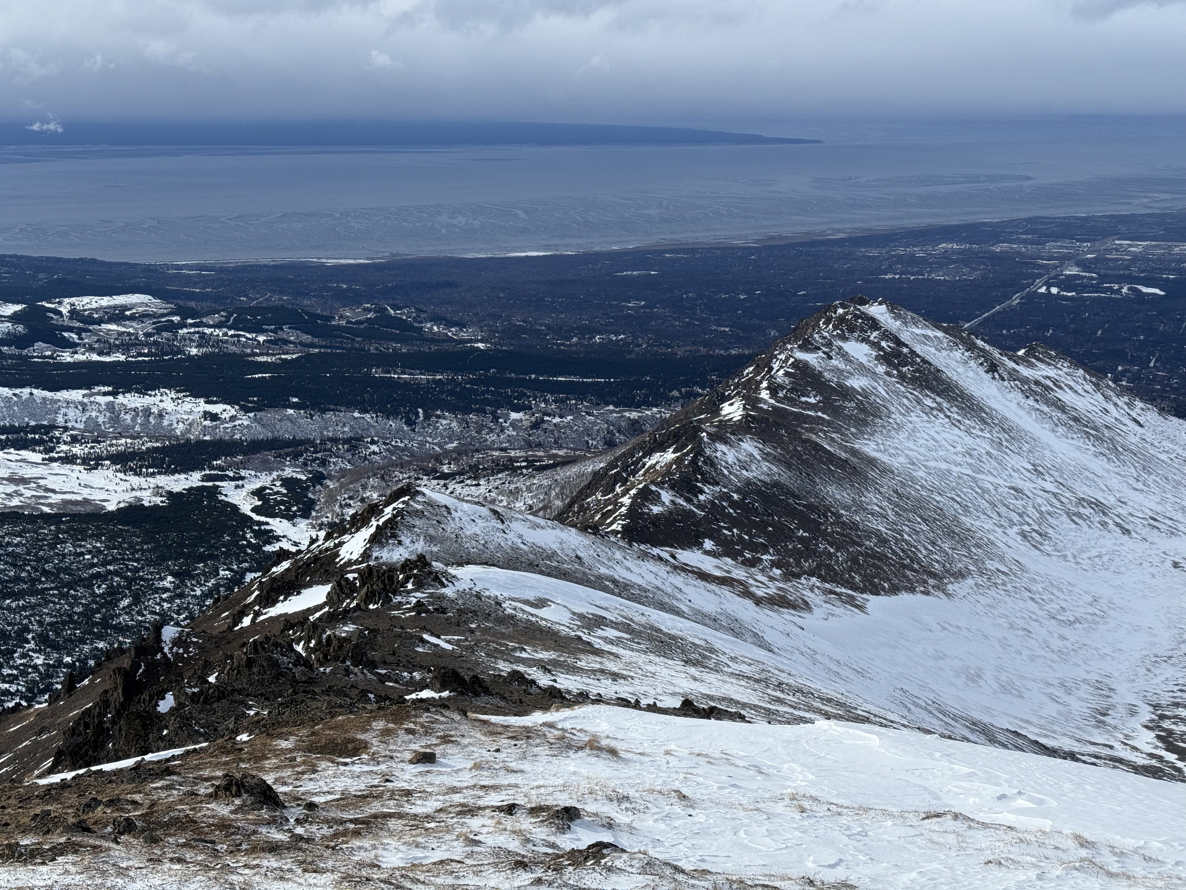
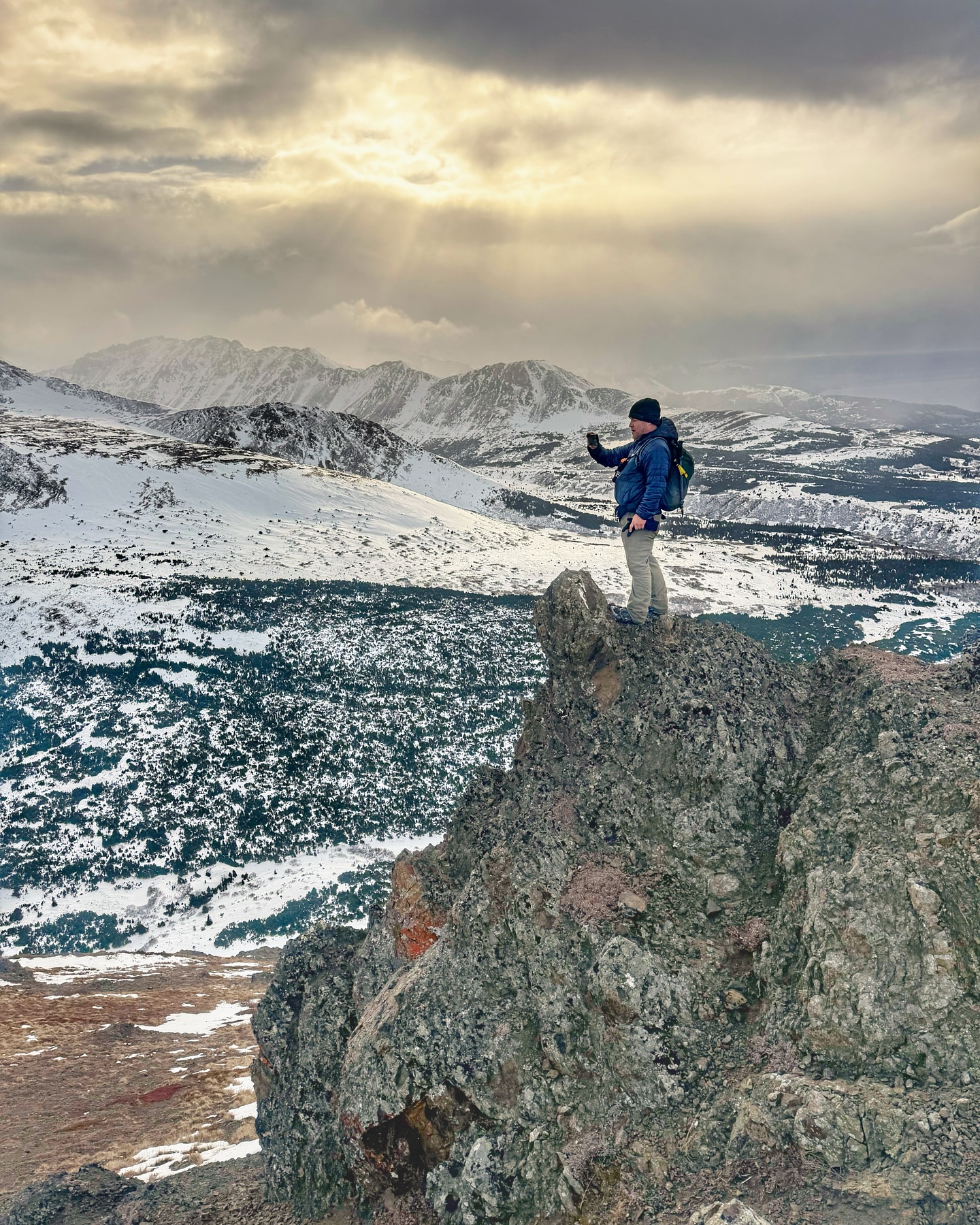
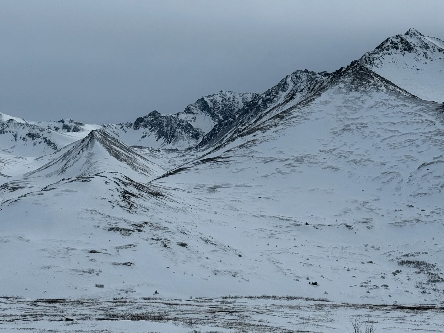
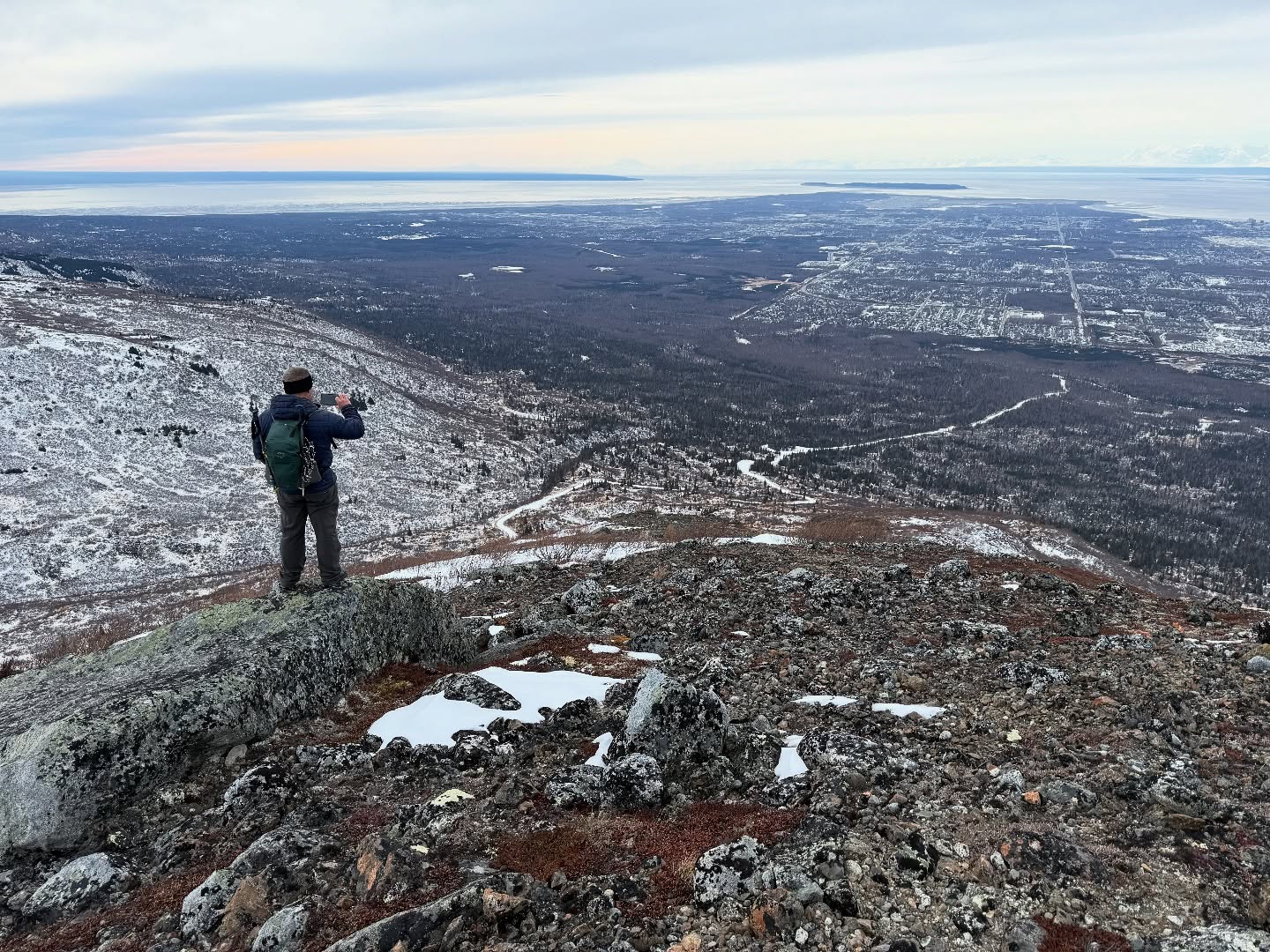
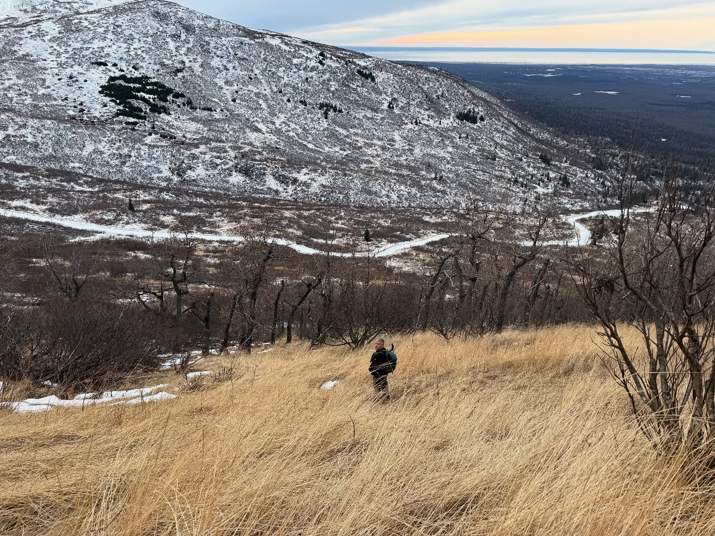
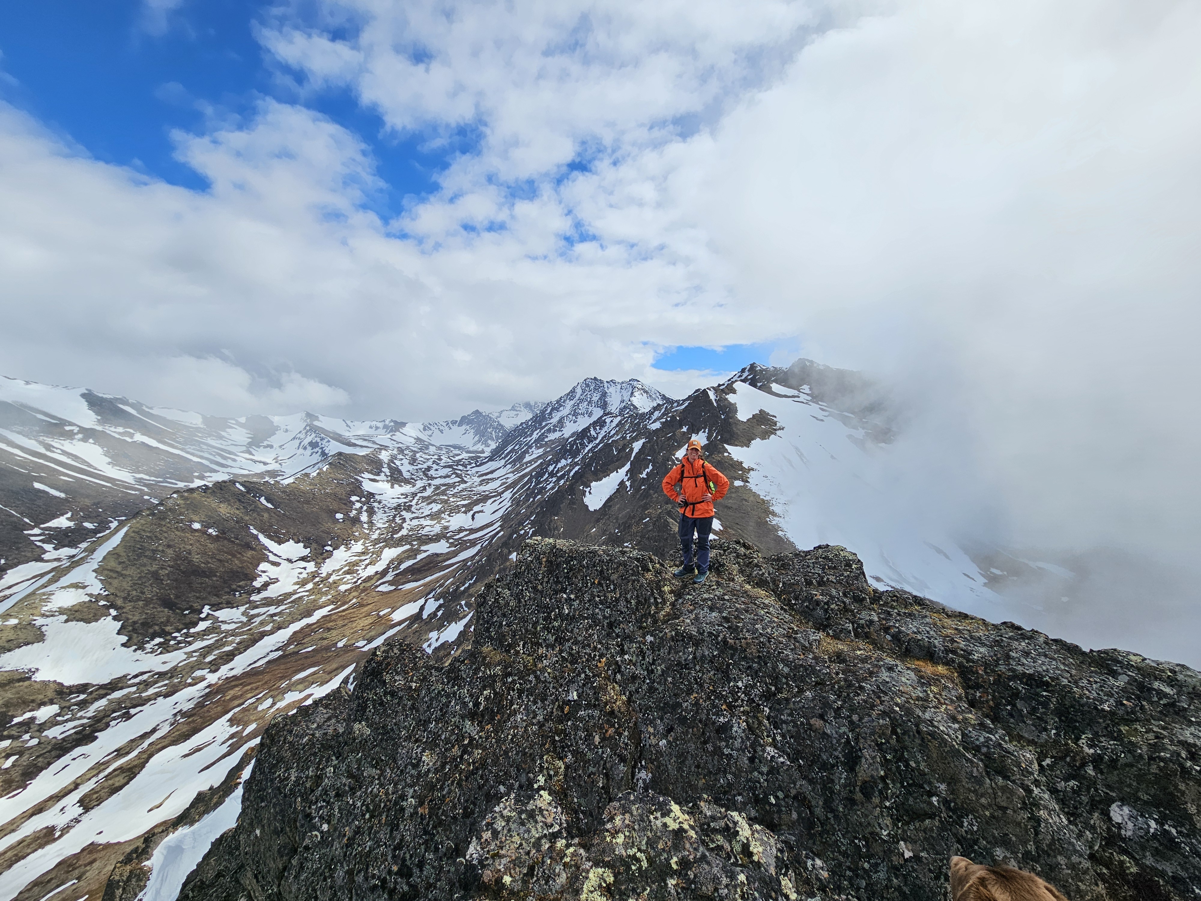
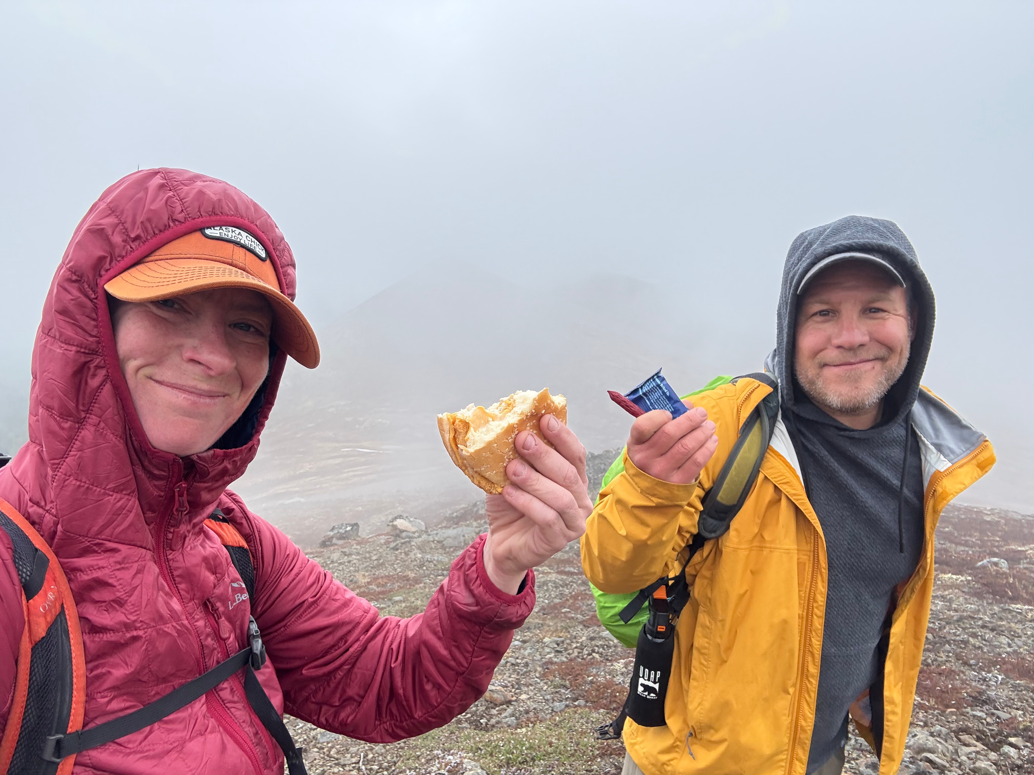
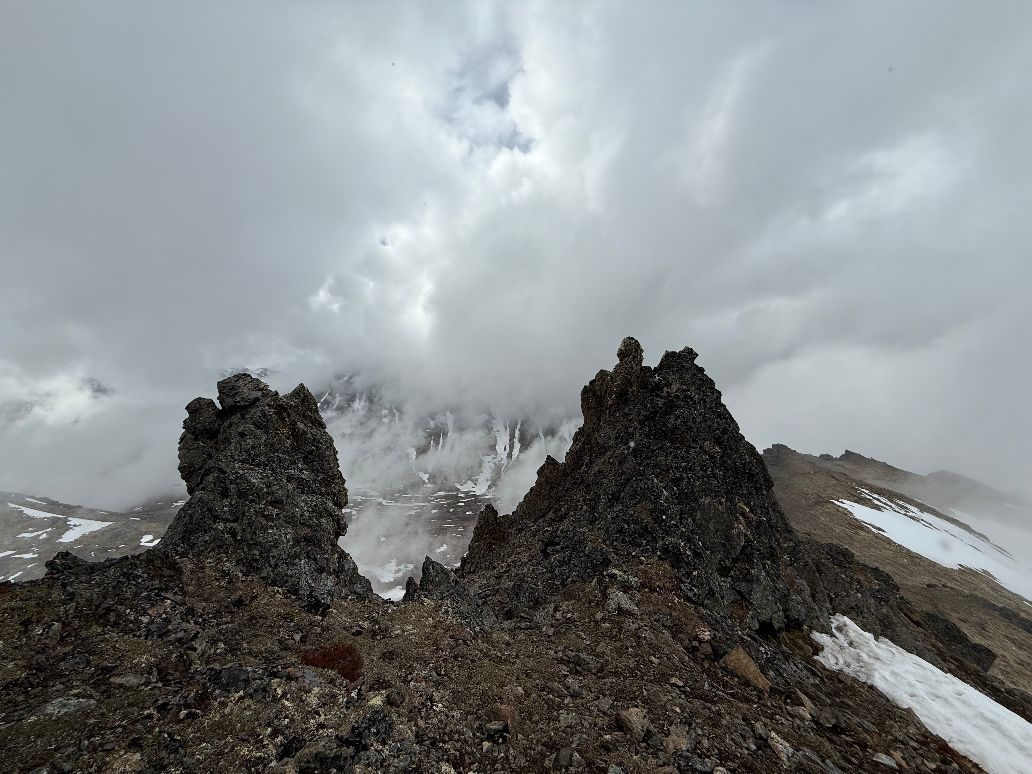
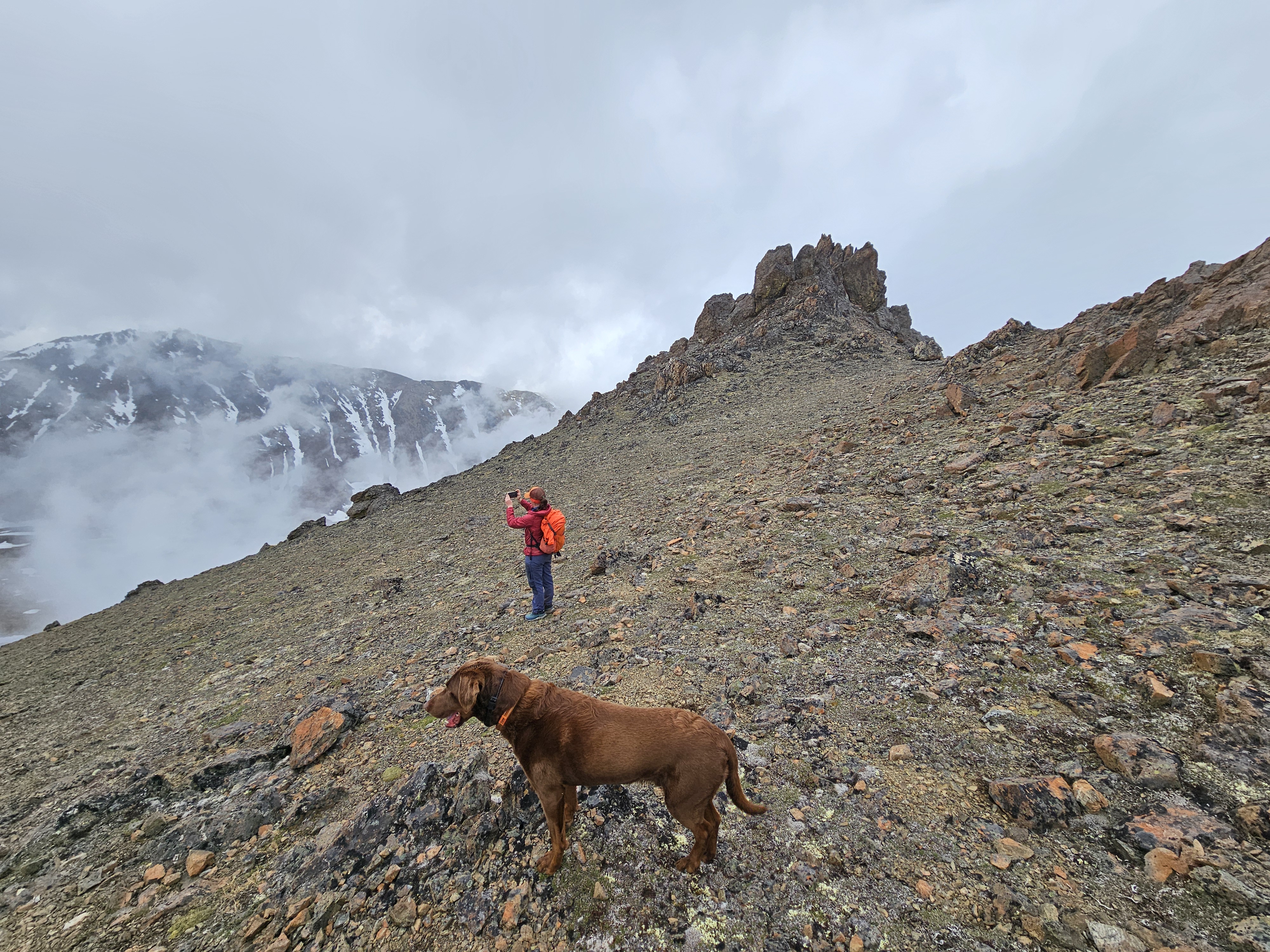
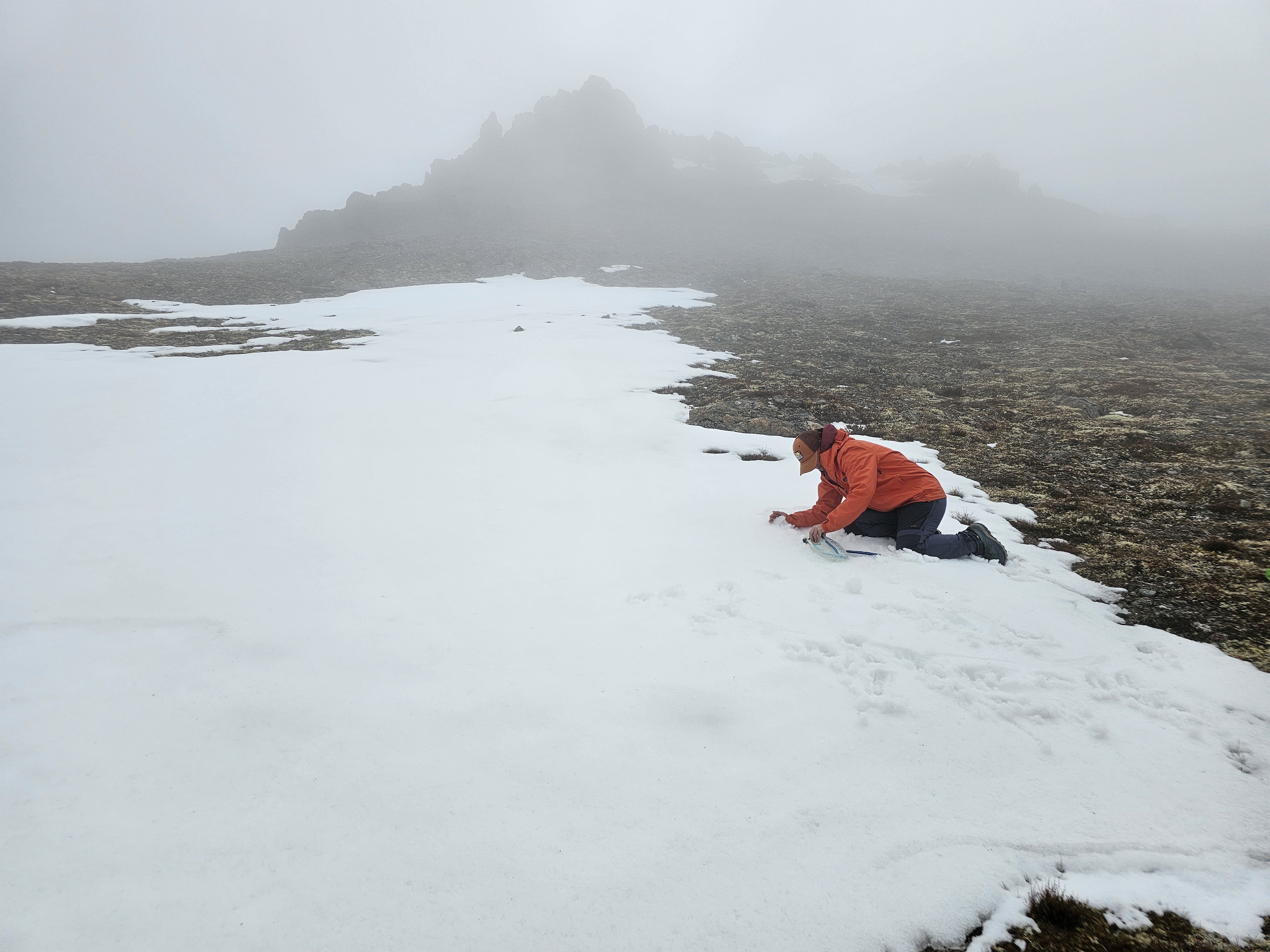
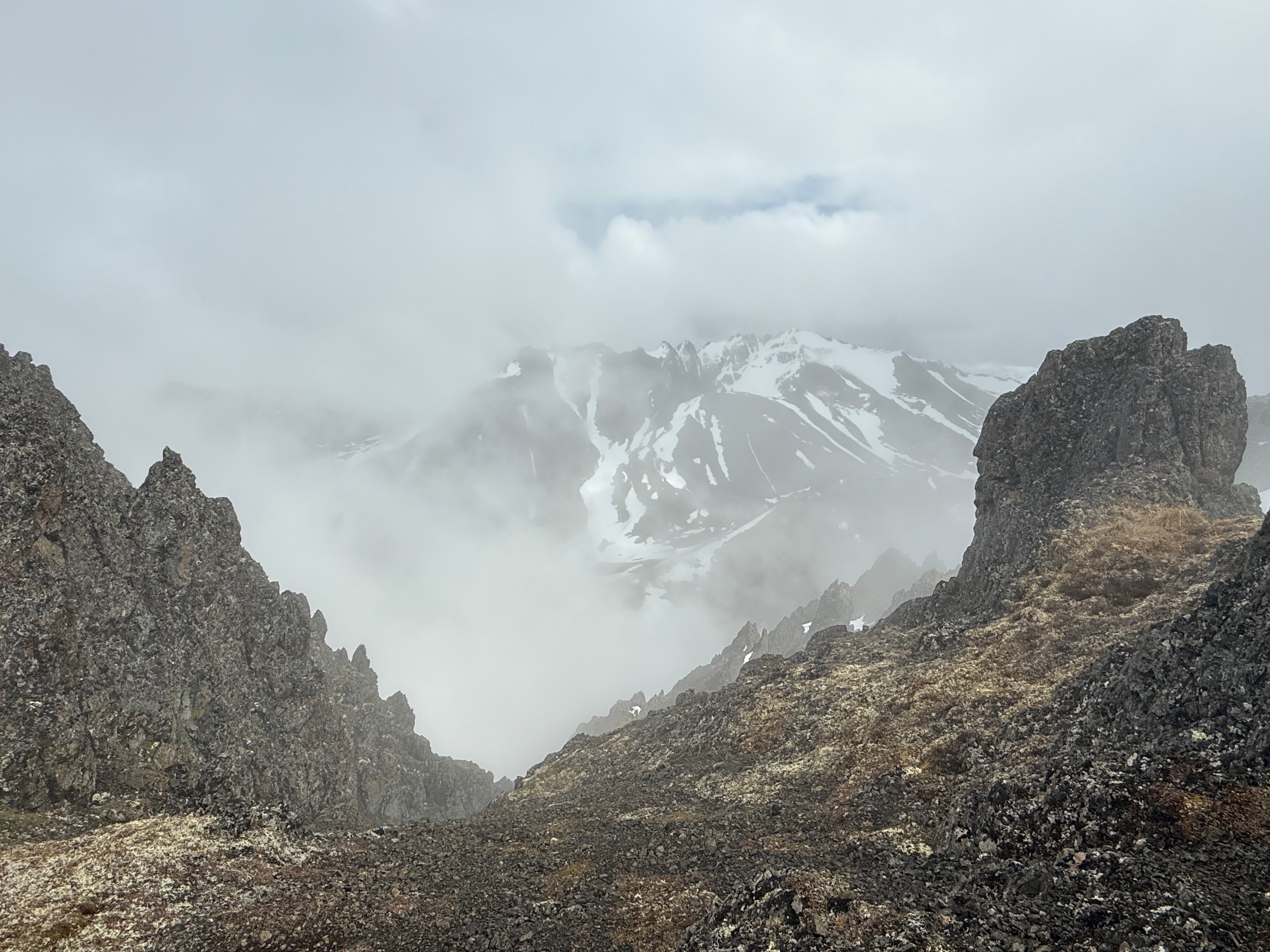
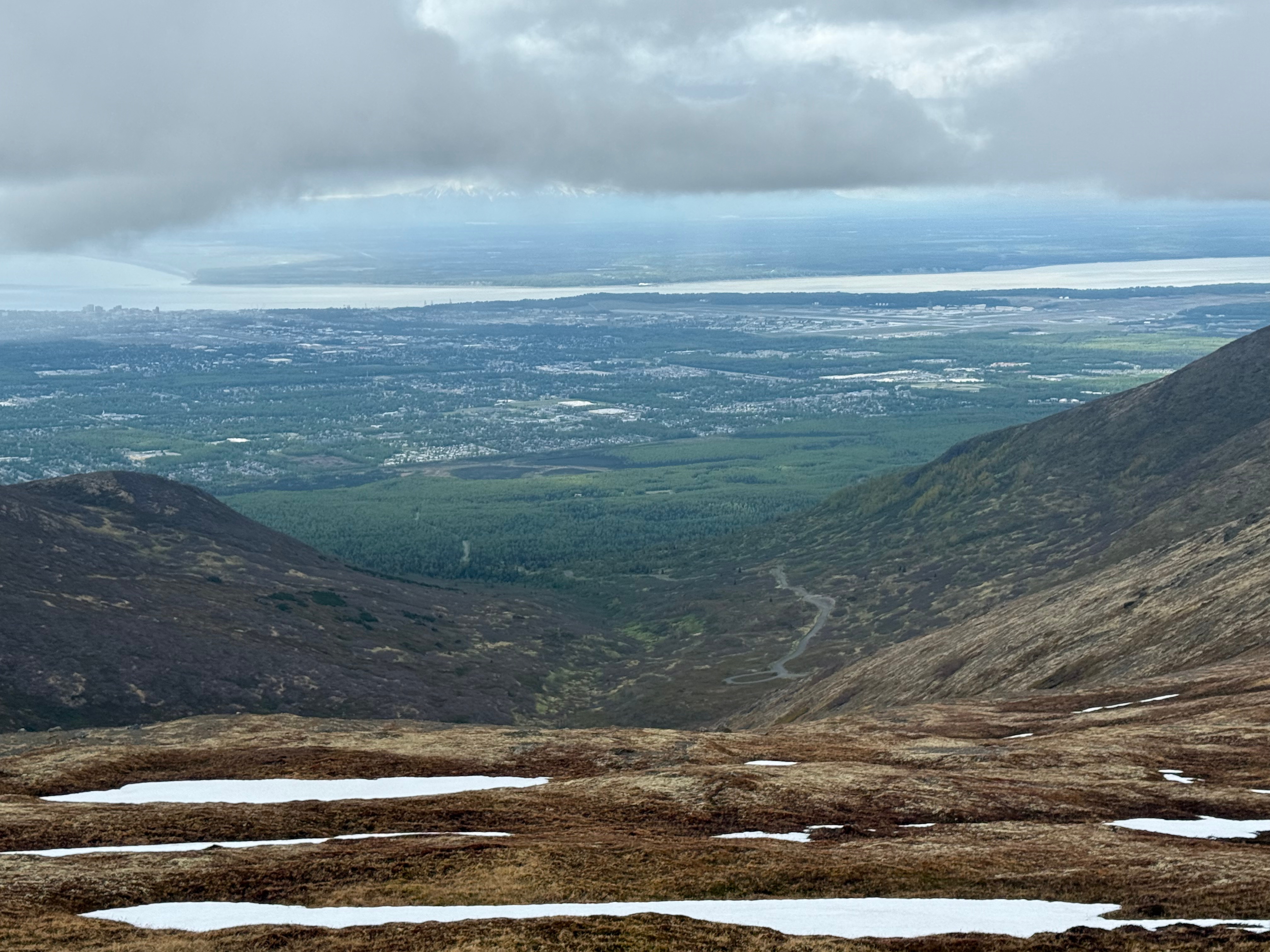
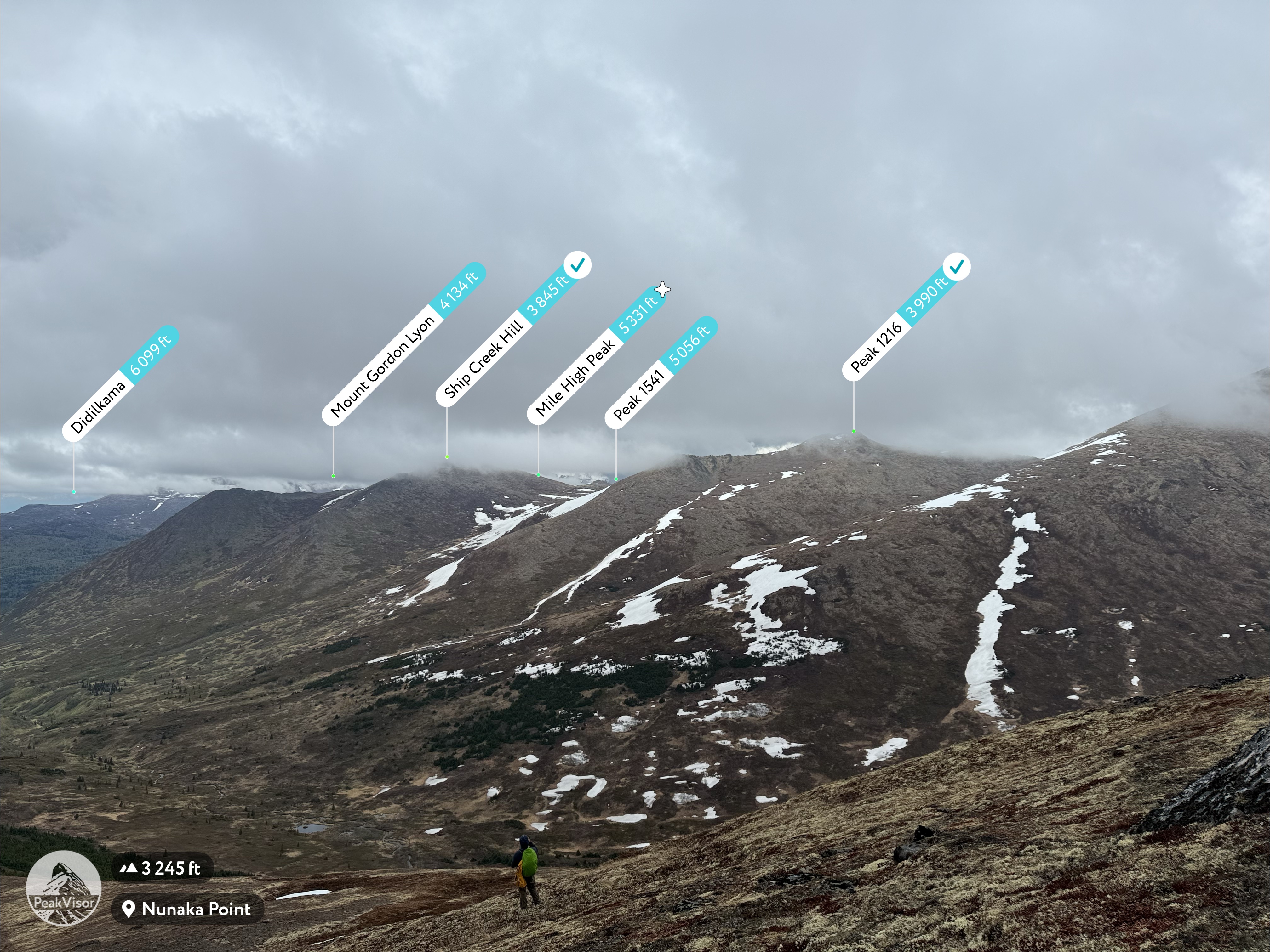
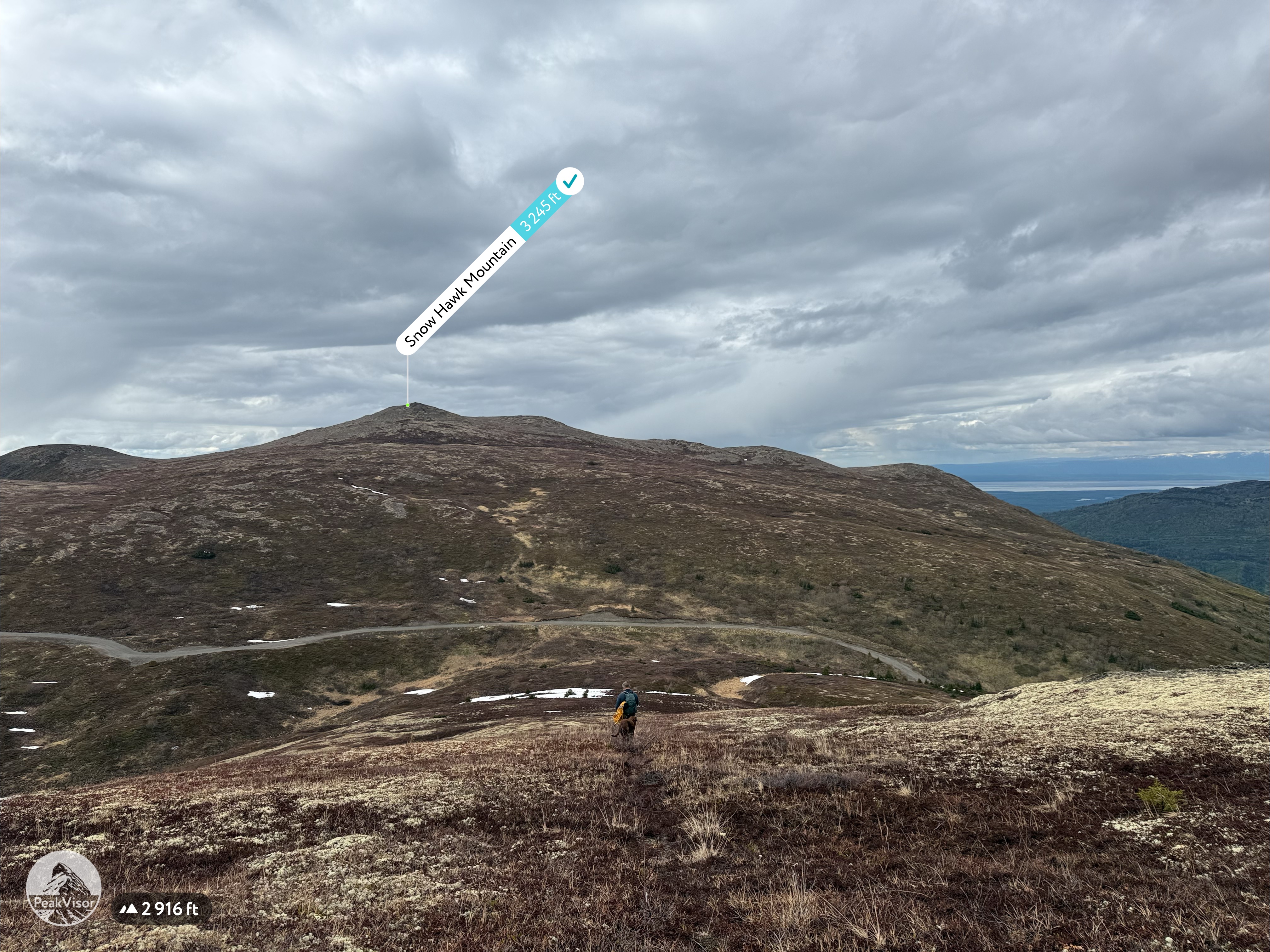
While walking the ridge toward Kanchee, I stopped to add snow to my water bladder—2 liters wouldn’t cut it for a 15-mile hike. I took a long swig of ice-cold water just as one final snow squall passed over us. We climbed over a small rock outcropping, and then the sky began to brighten. A patch of blue appeared, and the clouds below us rose, revealing all of Snow Hawk Valley. Peaks 1216 and Ship Creek Hill came into view, sparking fond memories of our recent hike there in gale-force winds.

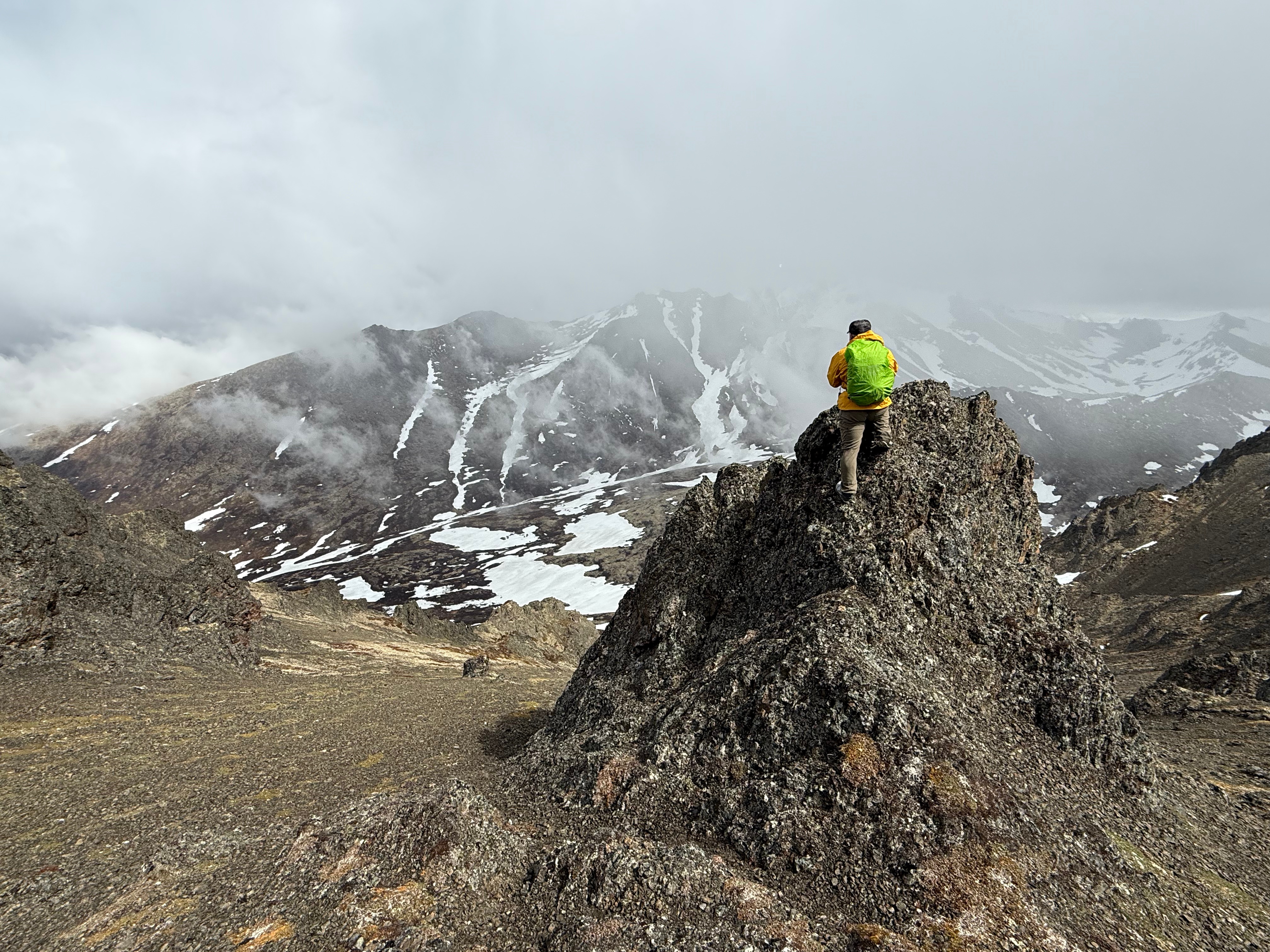

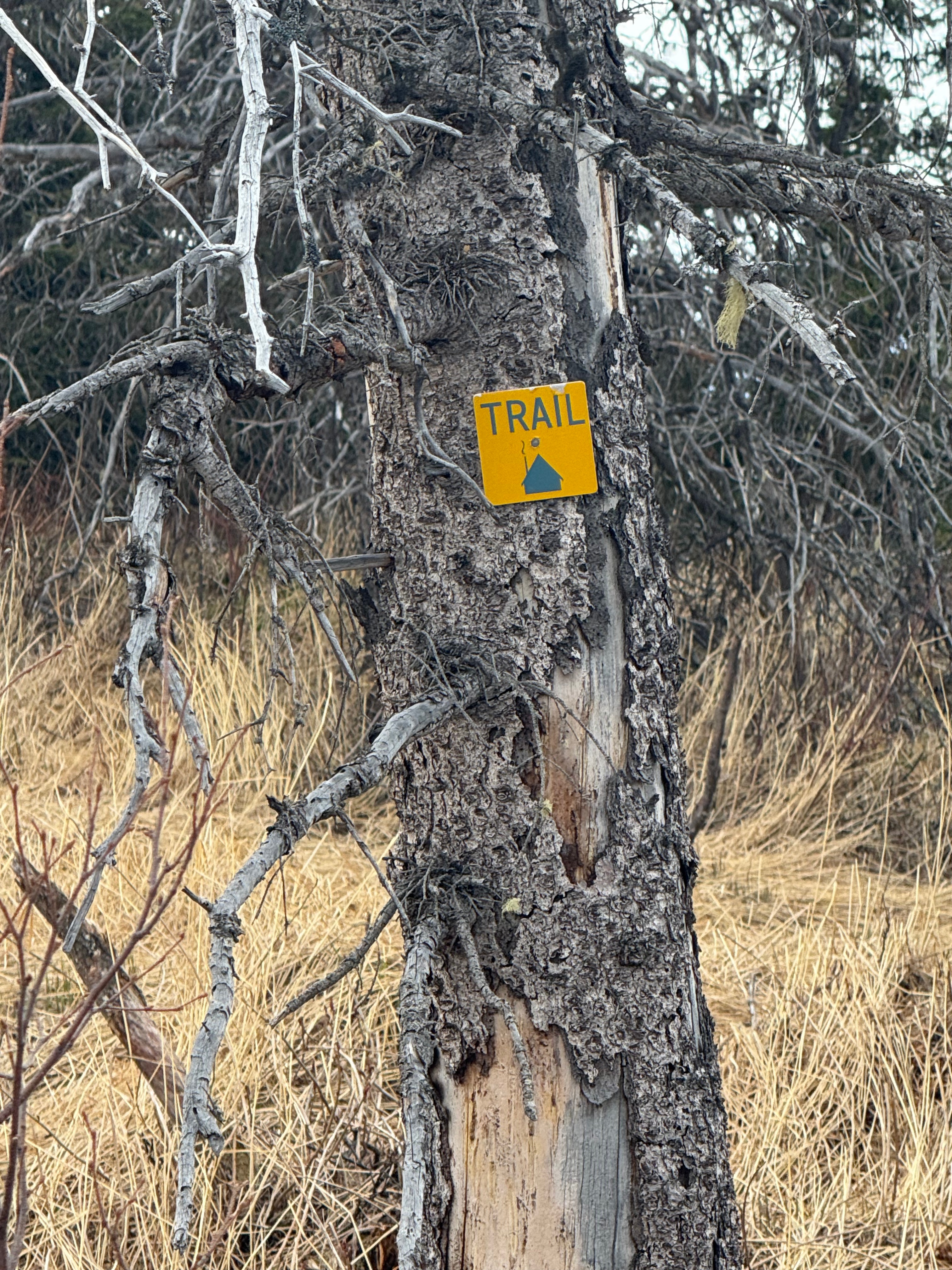
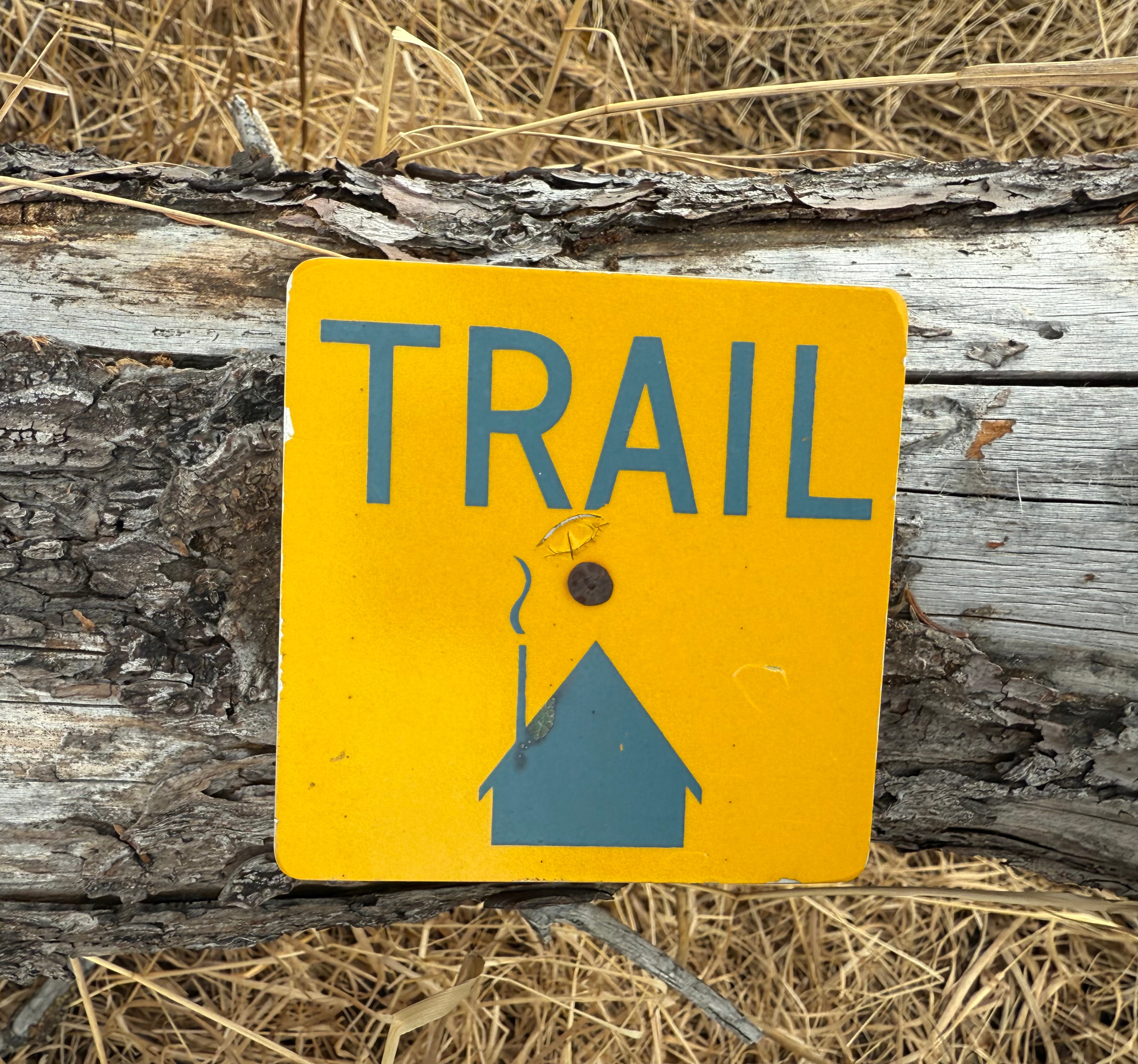
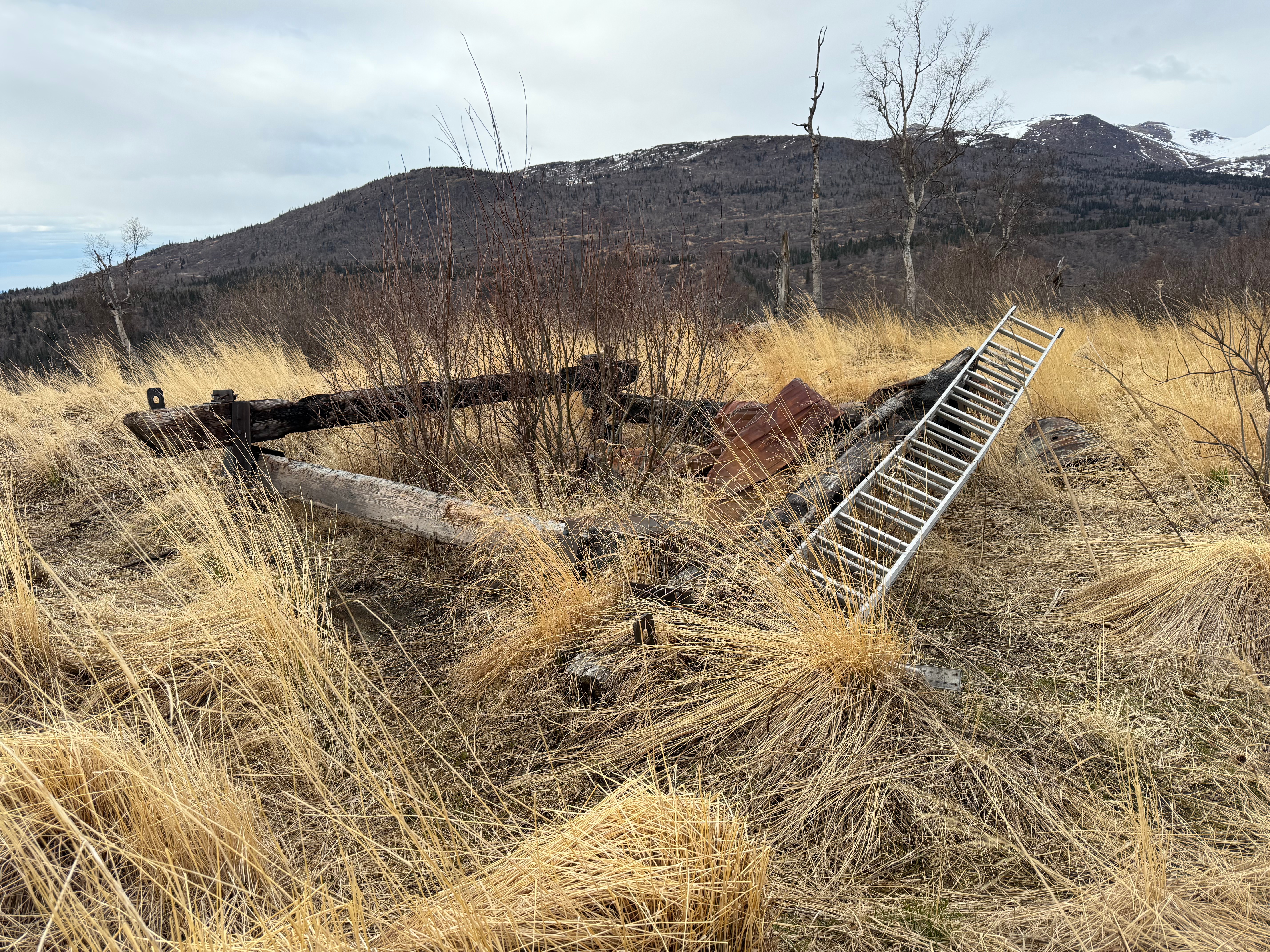
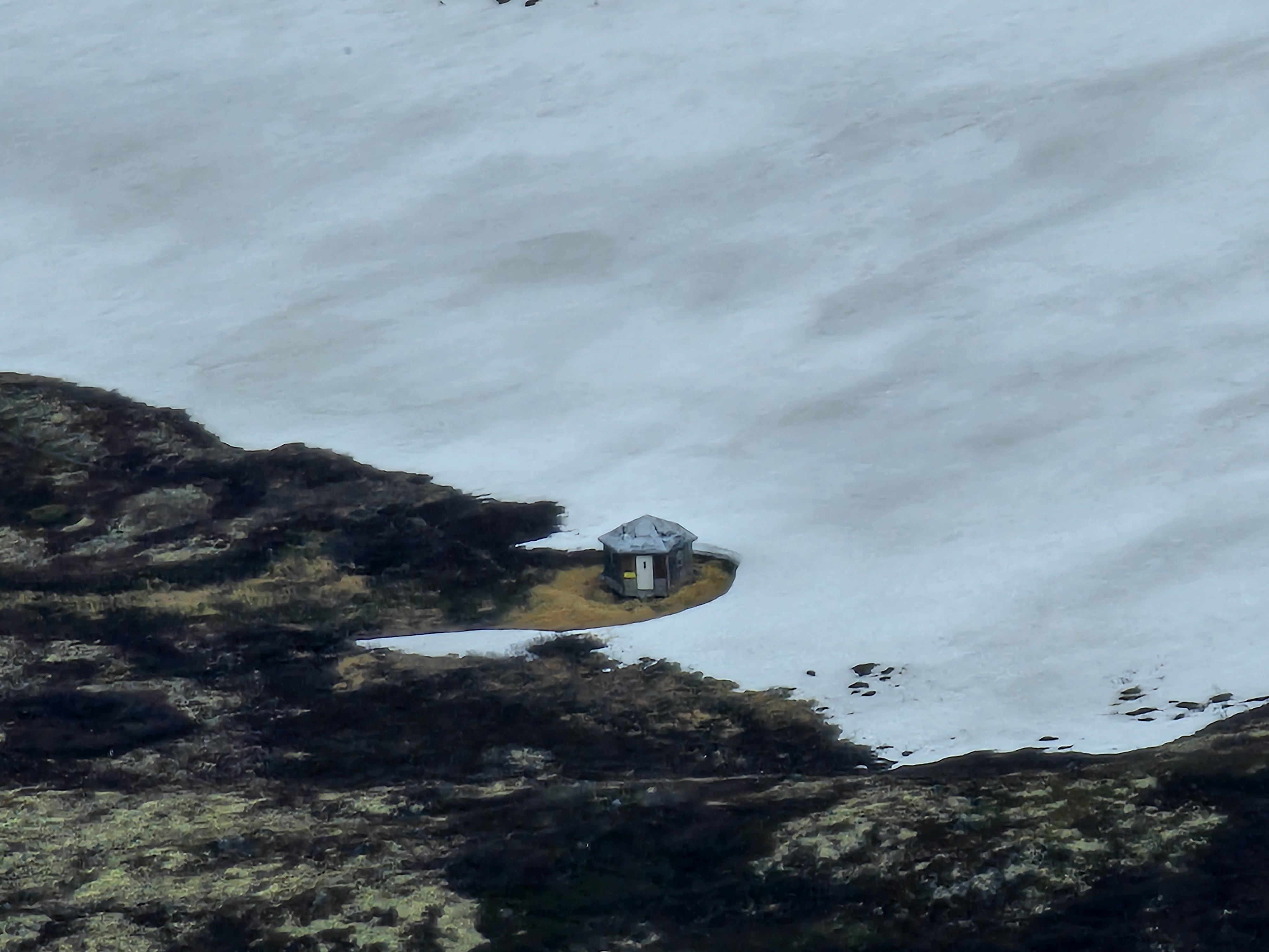
The sky continued to open up, and the little blue patch grew. We spotted a small cabin down in Snow Hawk Valley. I’ve heard of people using it, but since it’s on JBER land where overnight stays aren’t permitted, I haven’t found any official resources explaining how to legally use the shelter. I wouldn’t recommend attempting an overnight trip there without written permission from JBER officials—you don’t want to lose access to military land hikes.
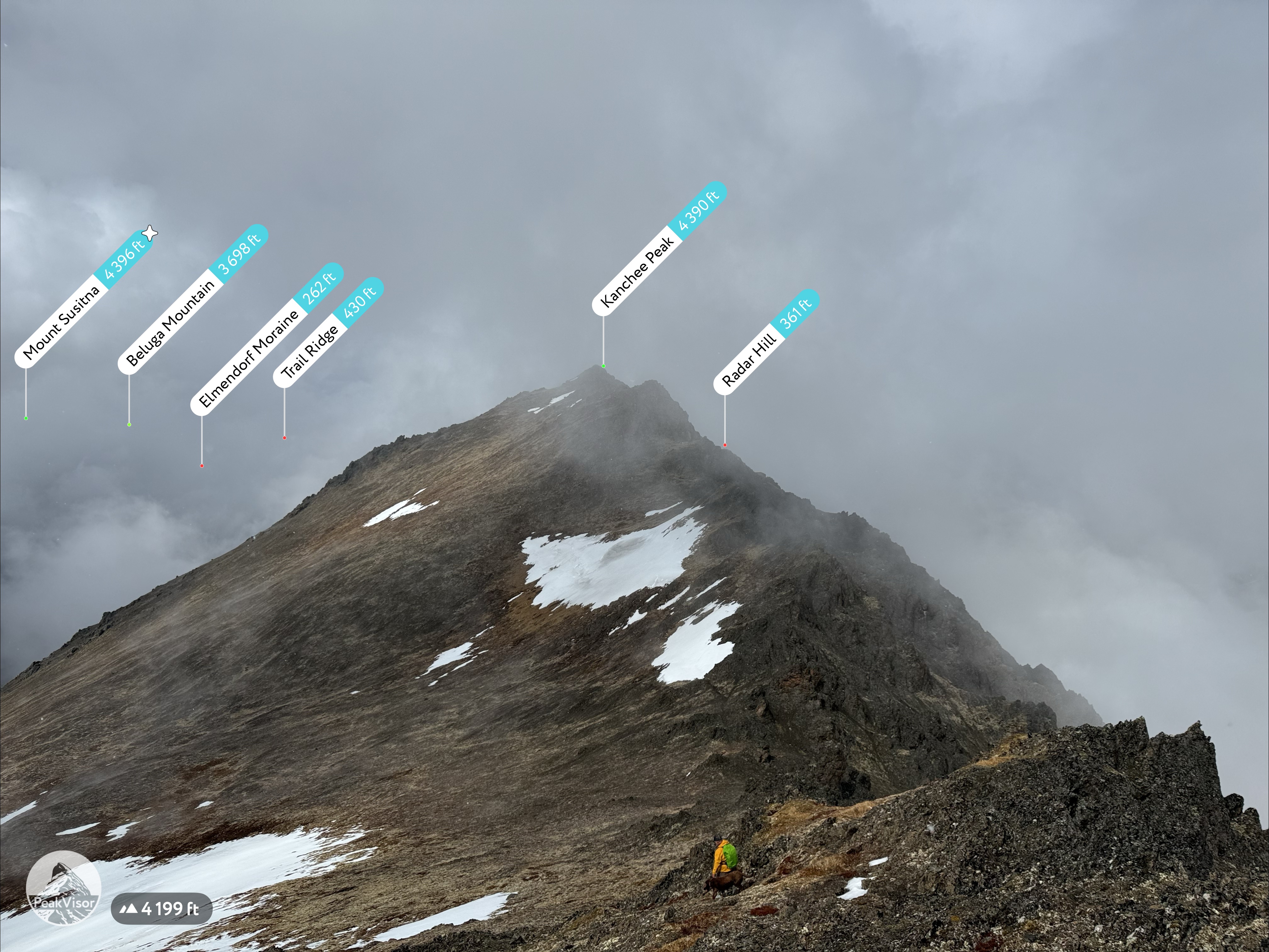

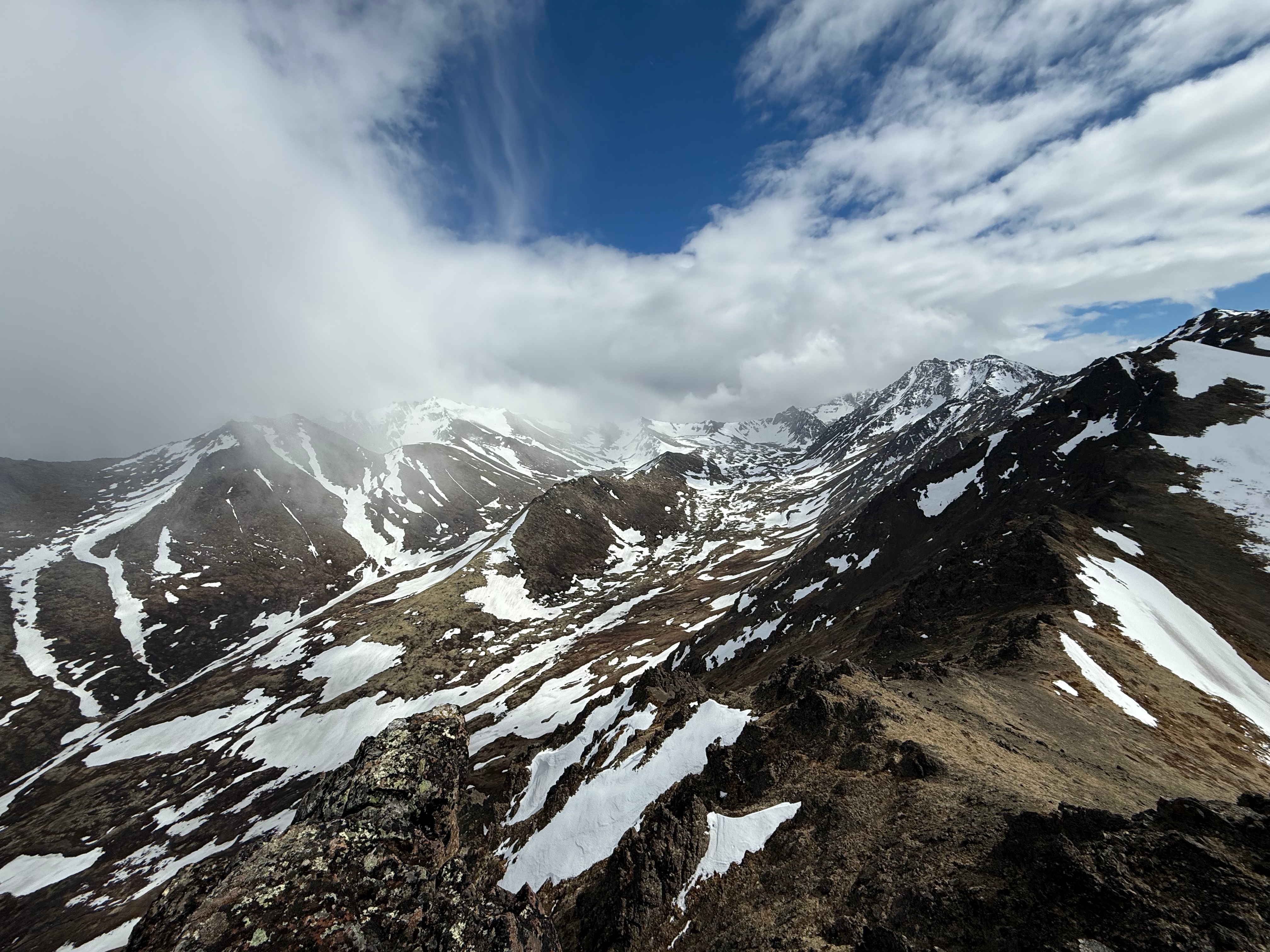
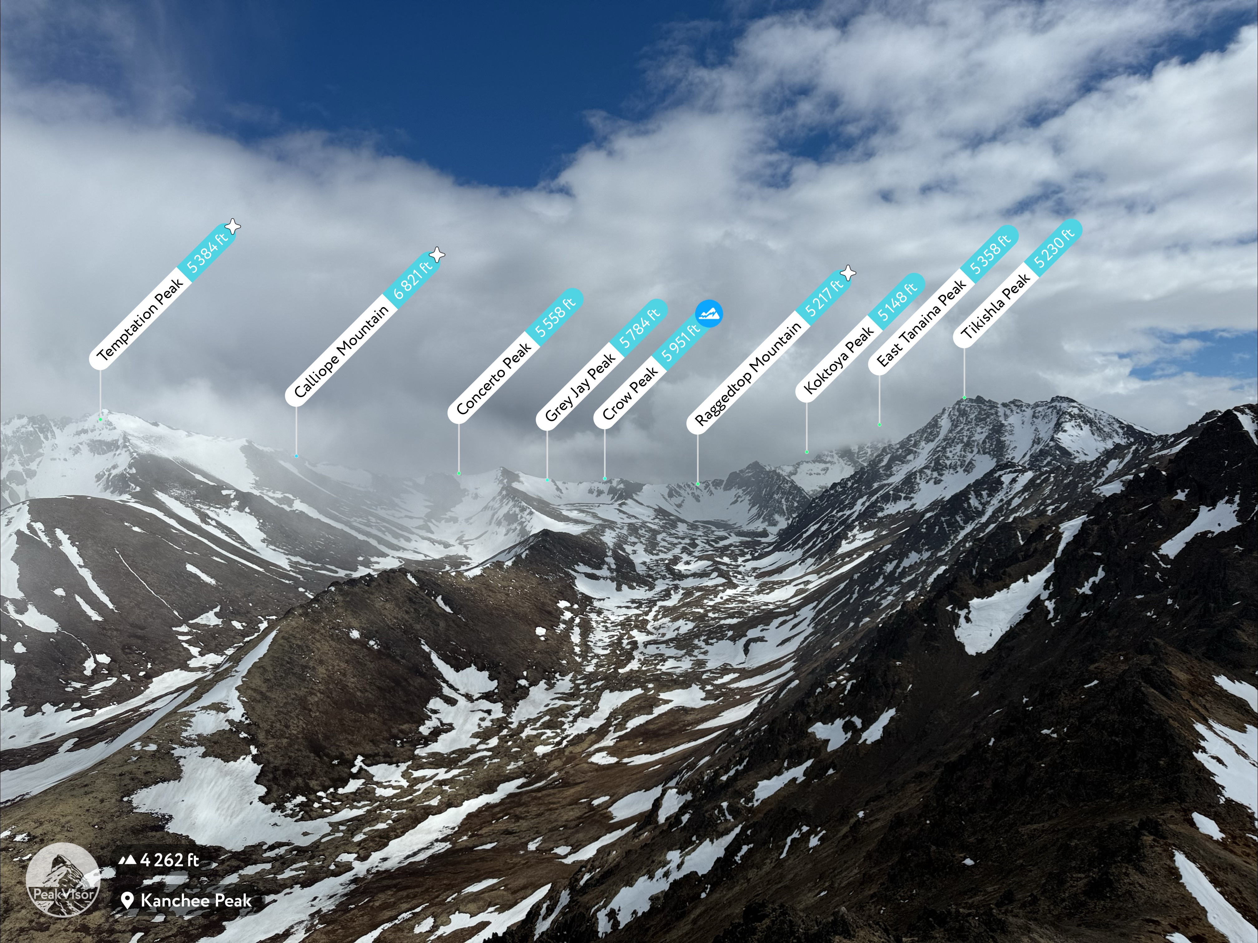

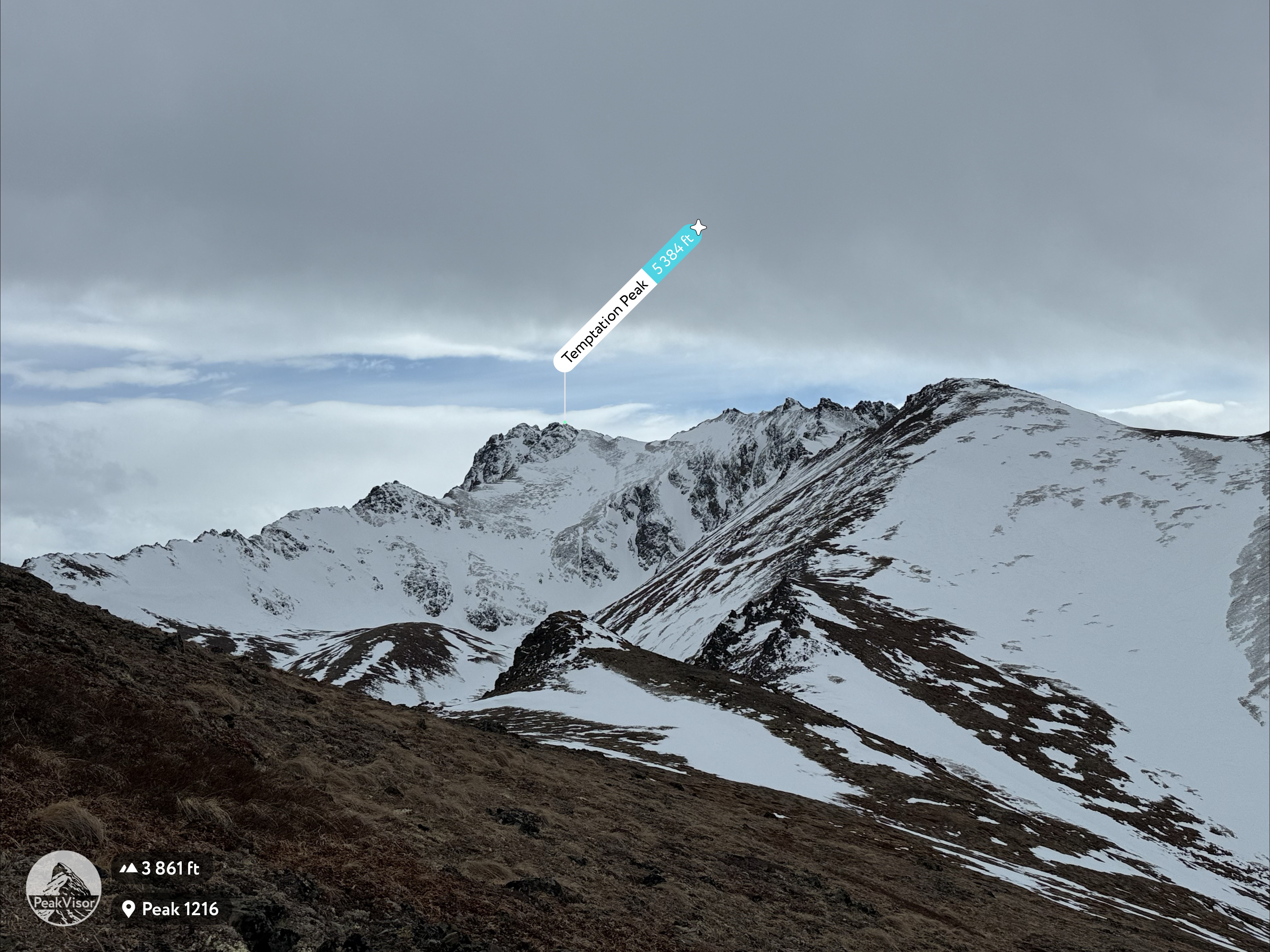
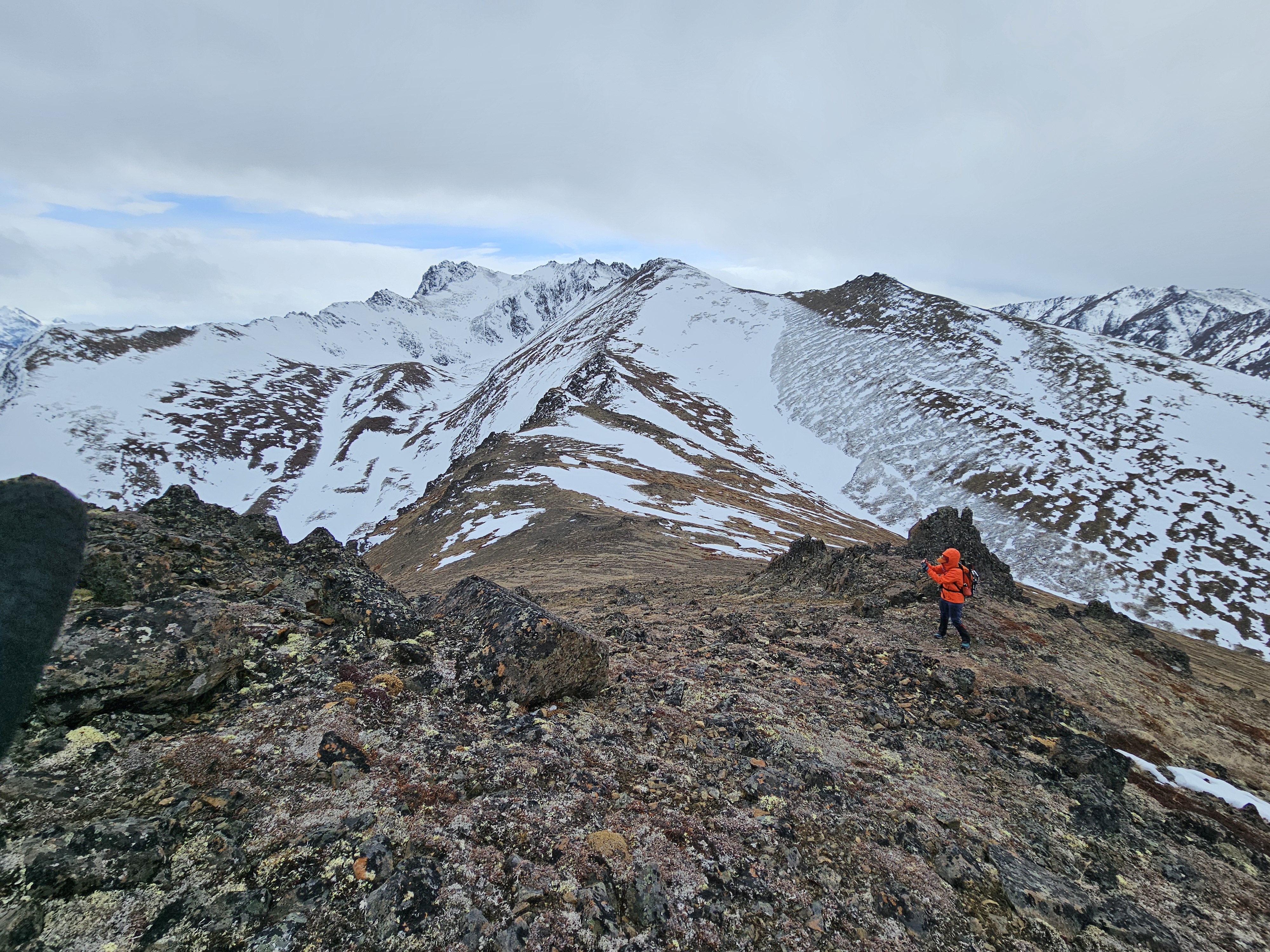
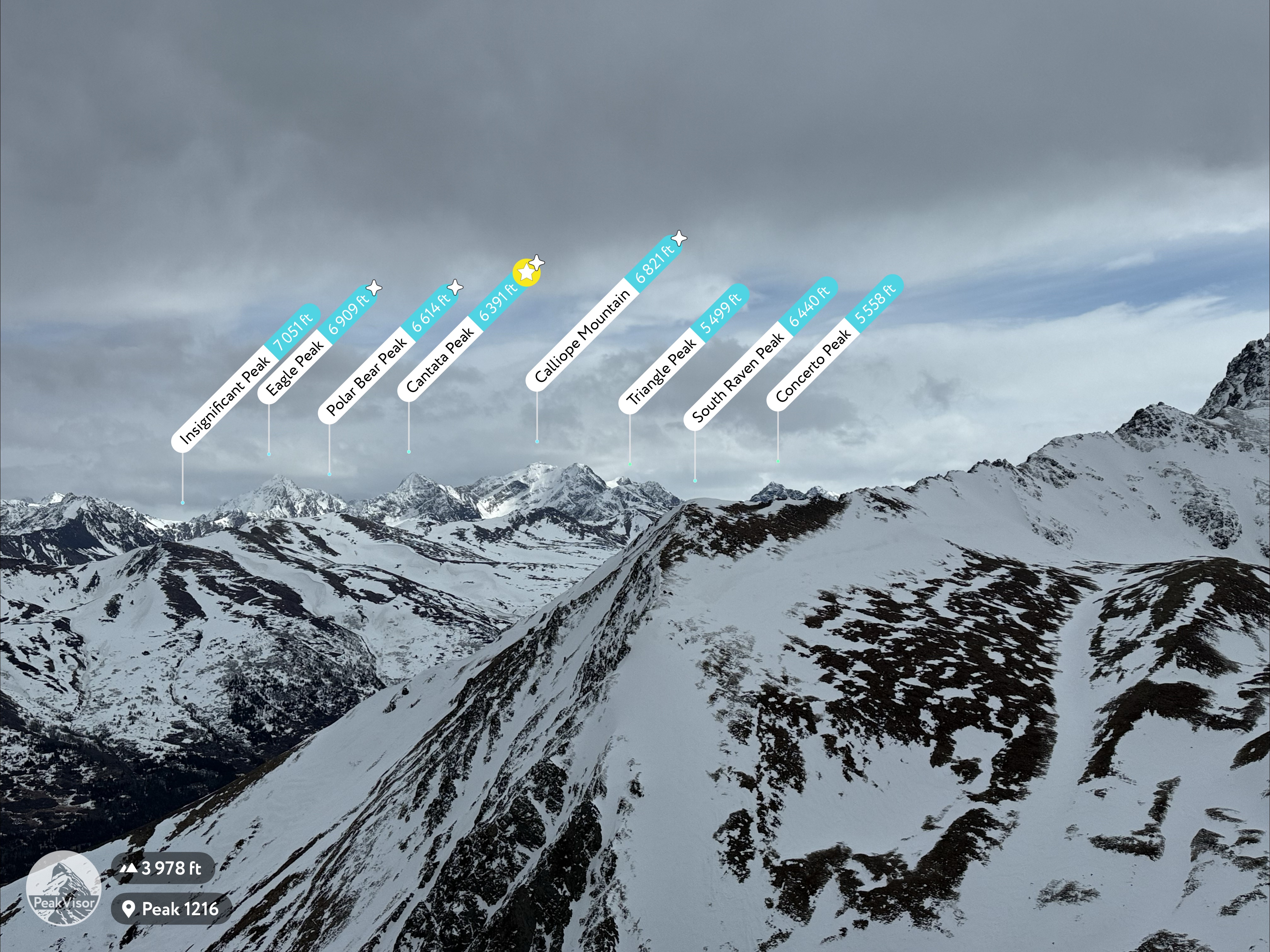
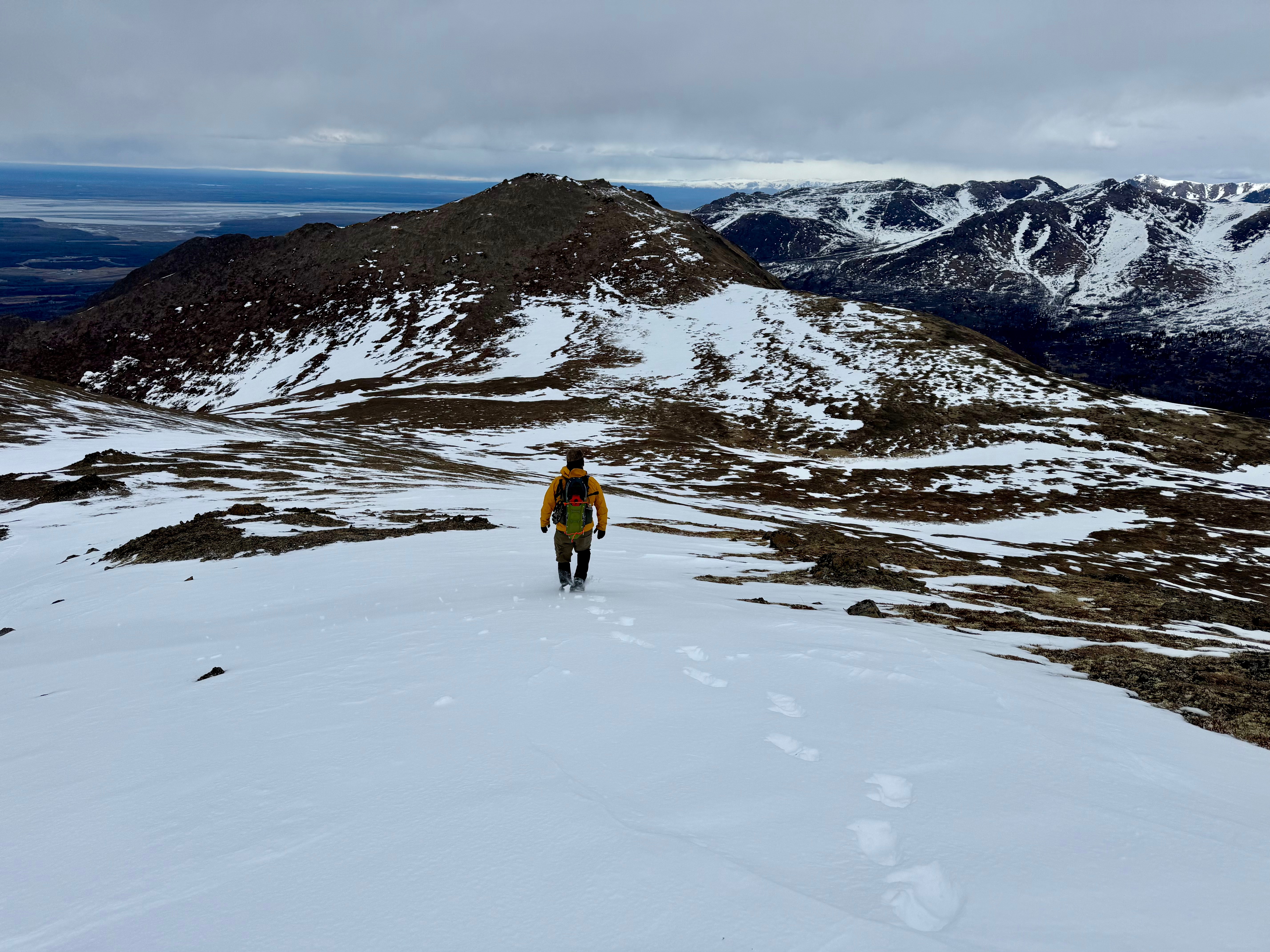
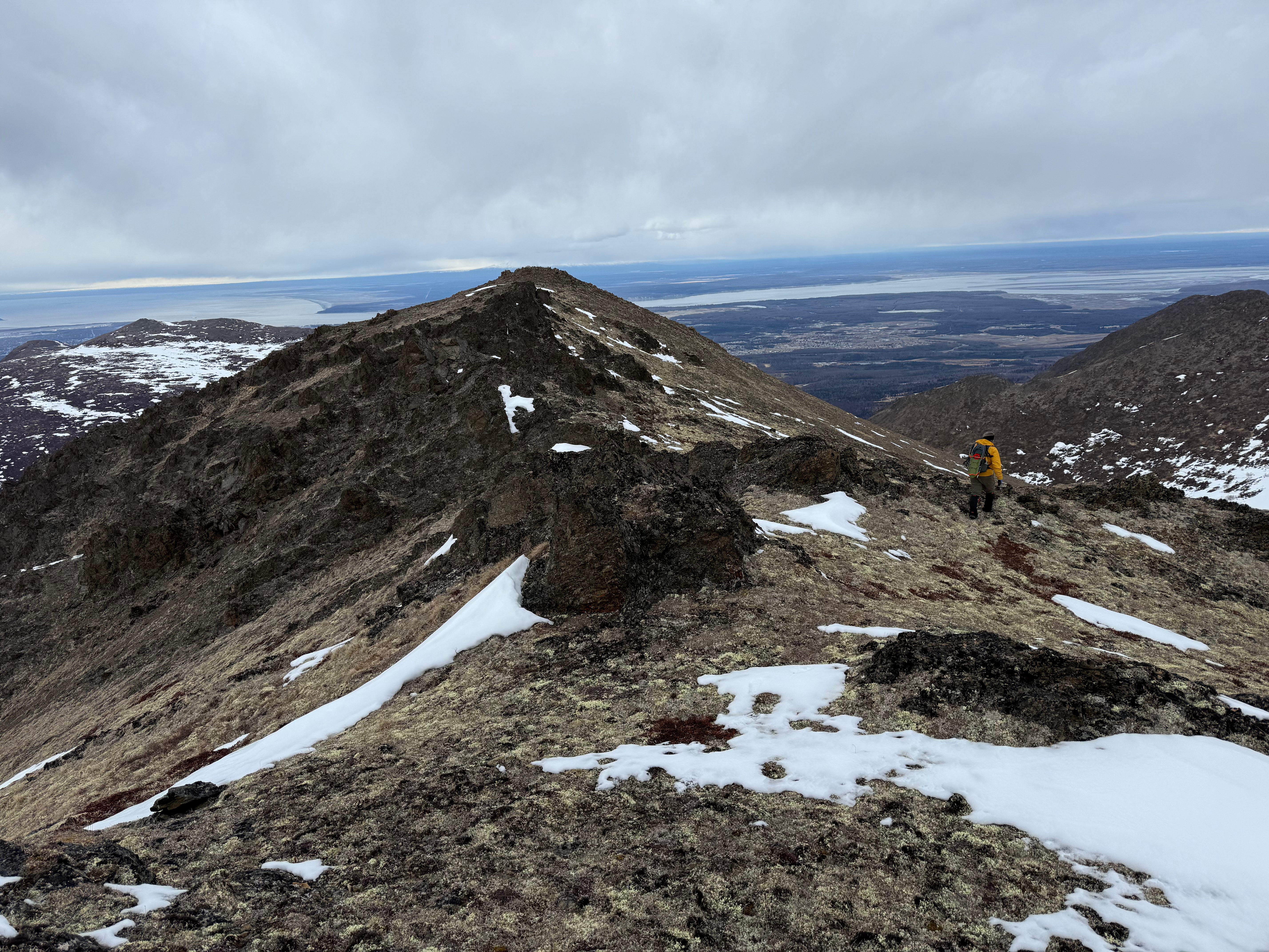
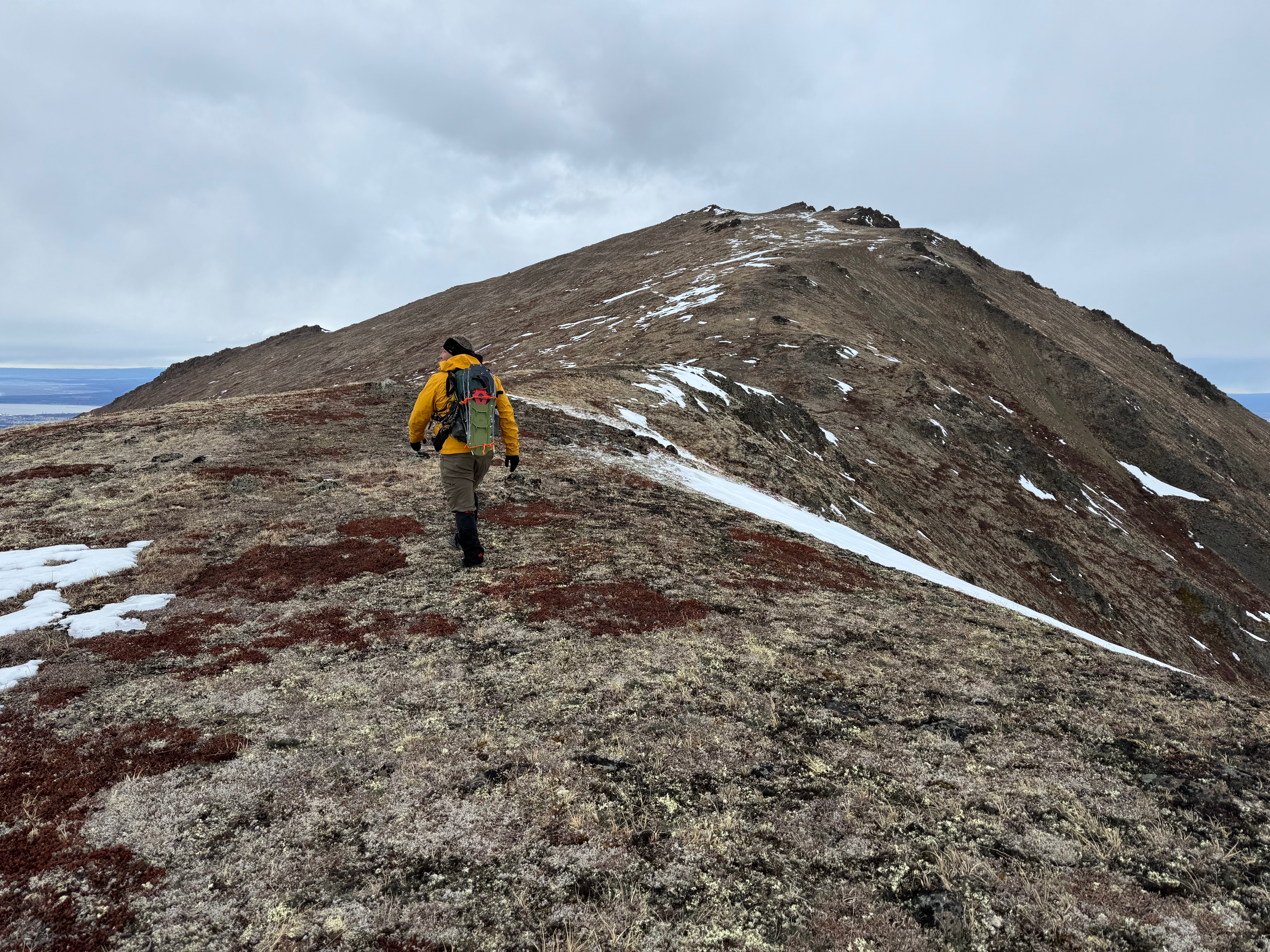
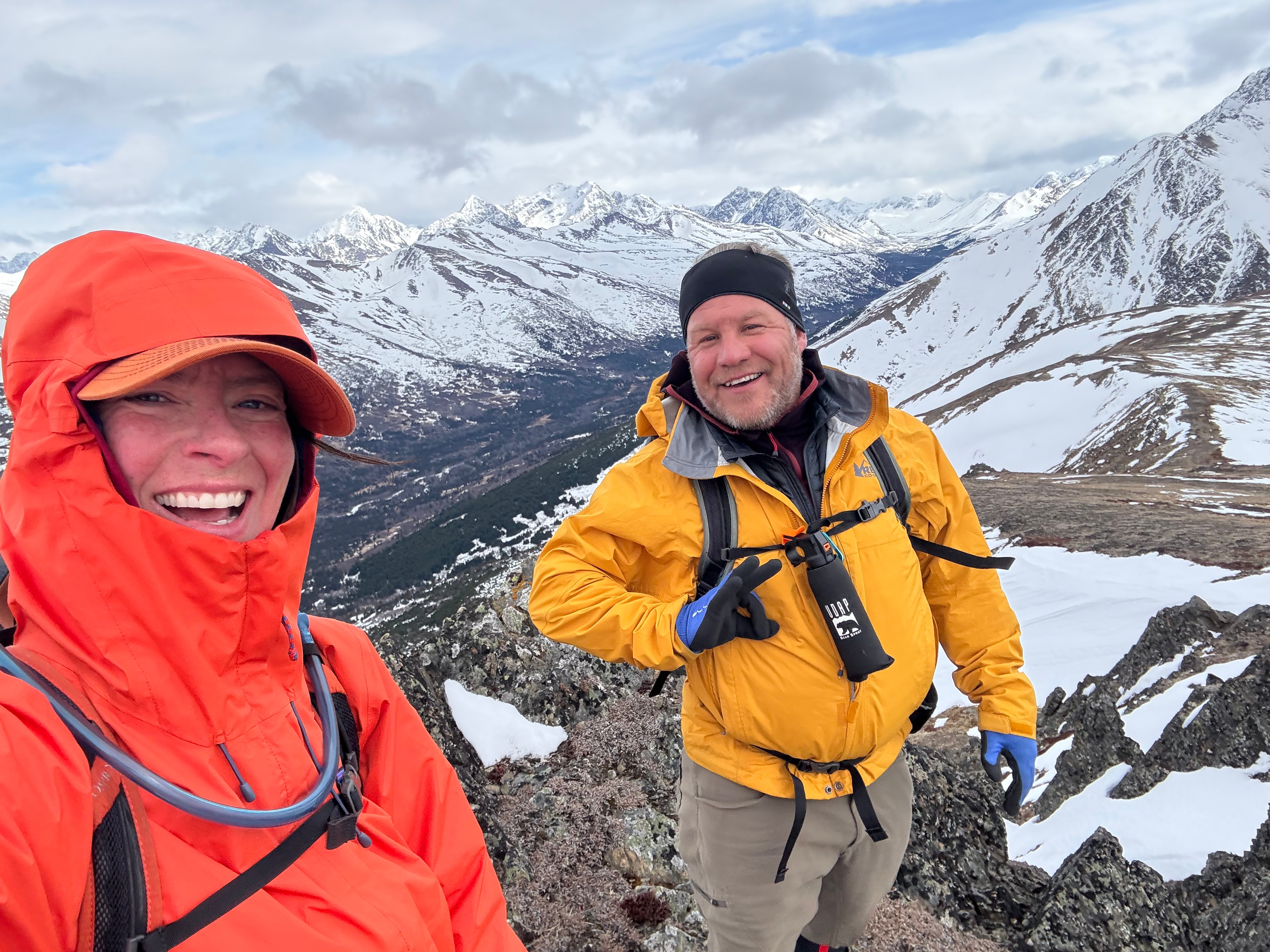
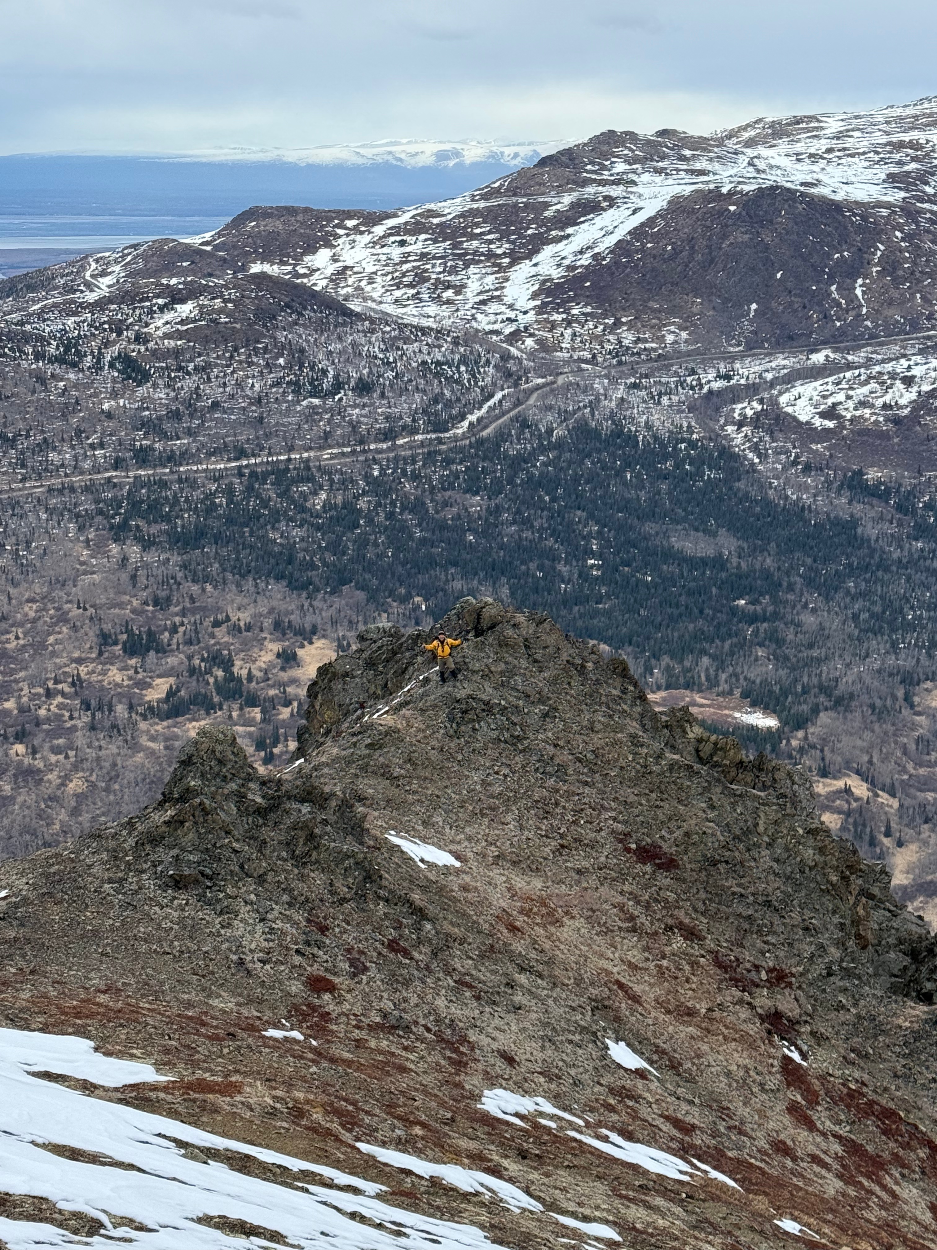
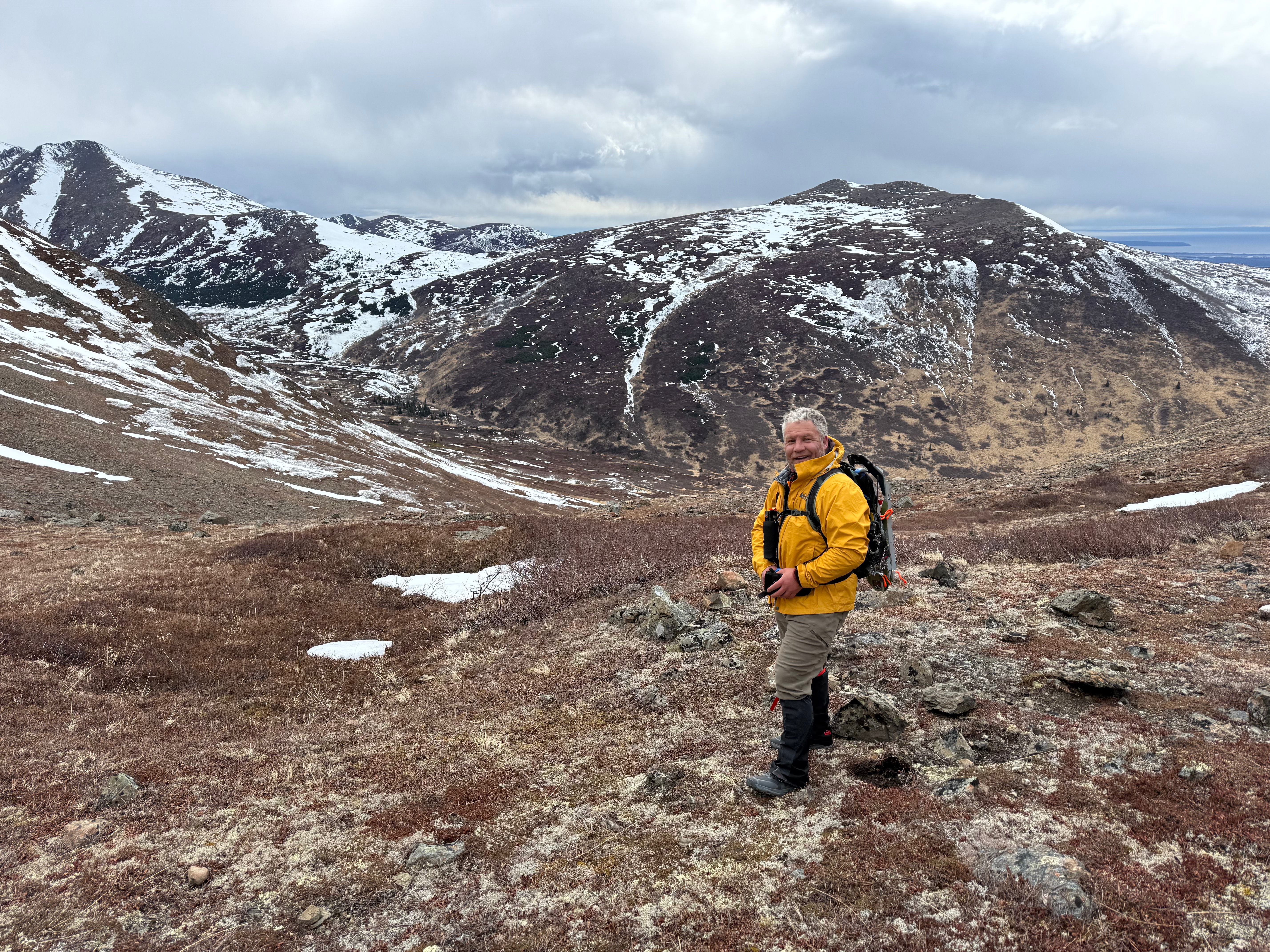
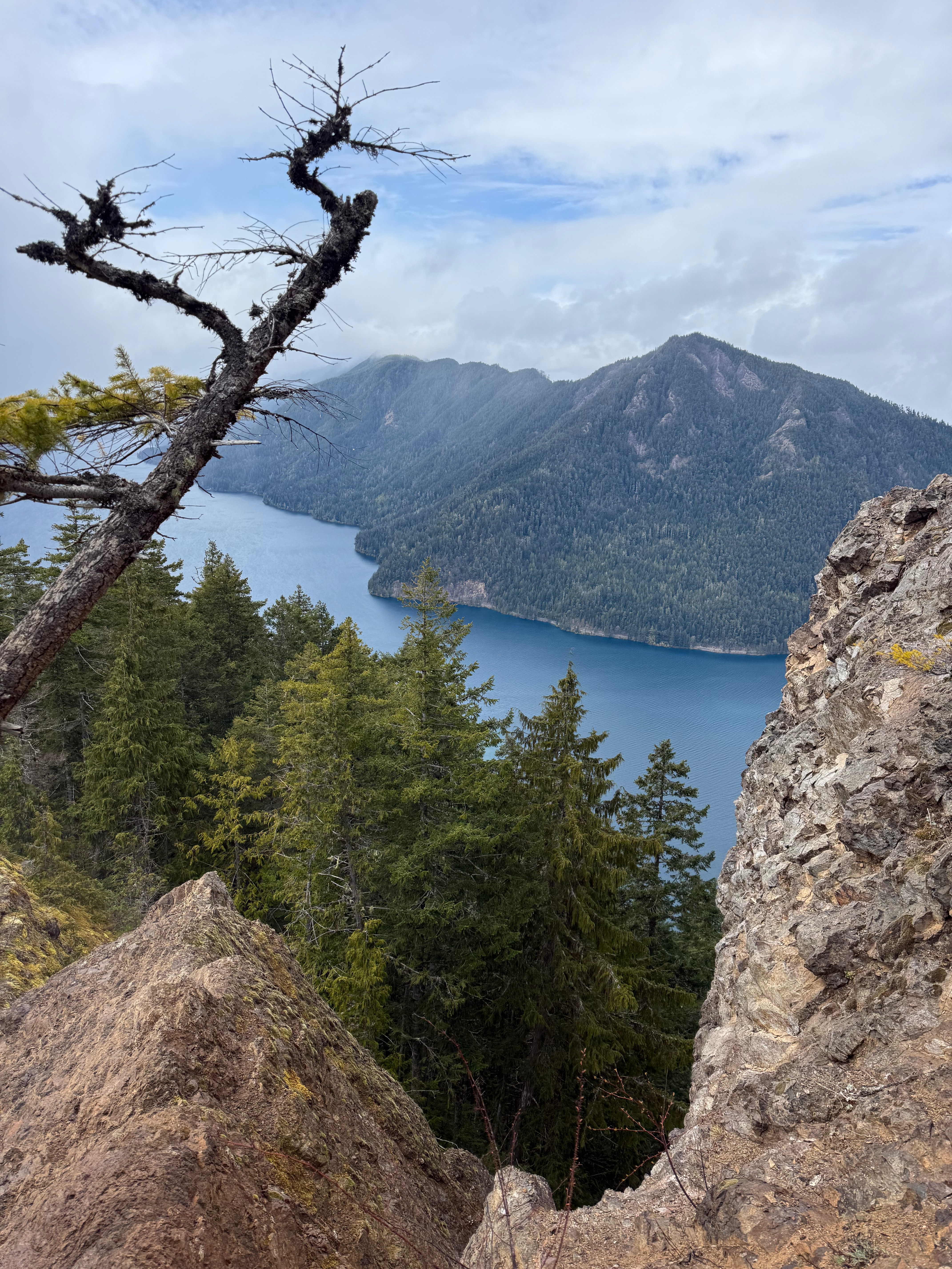
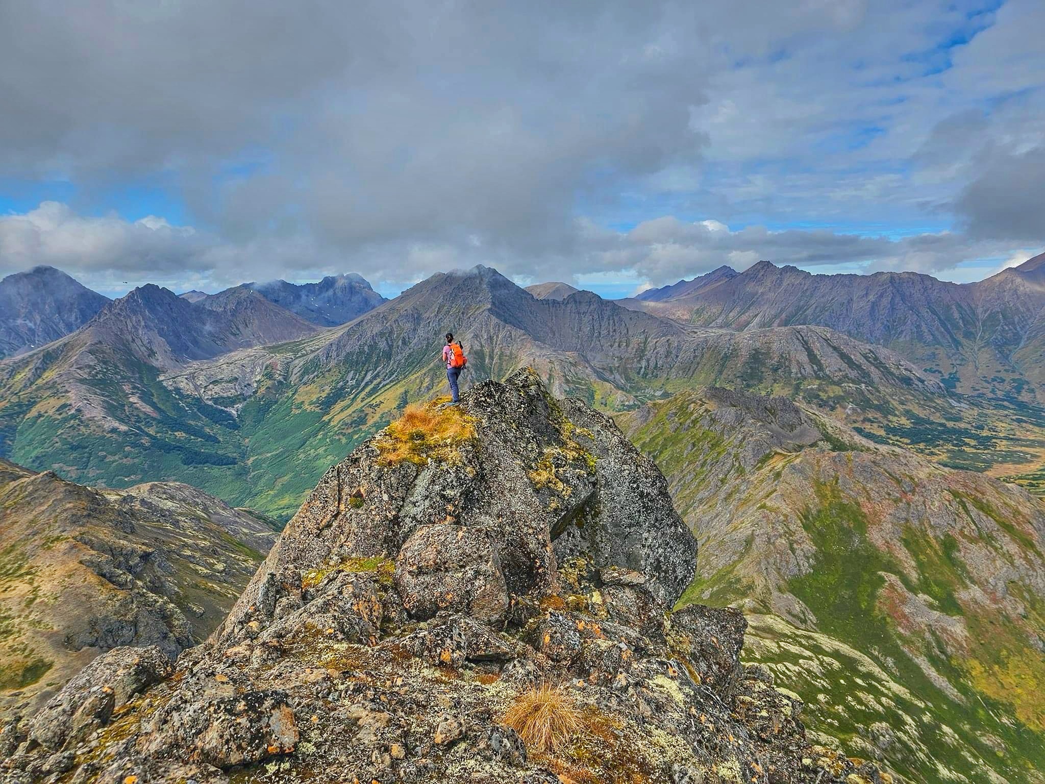
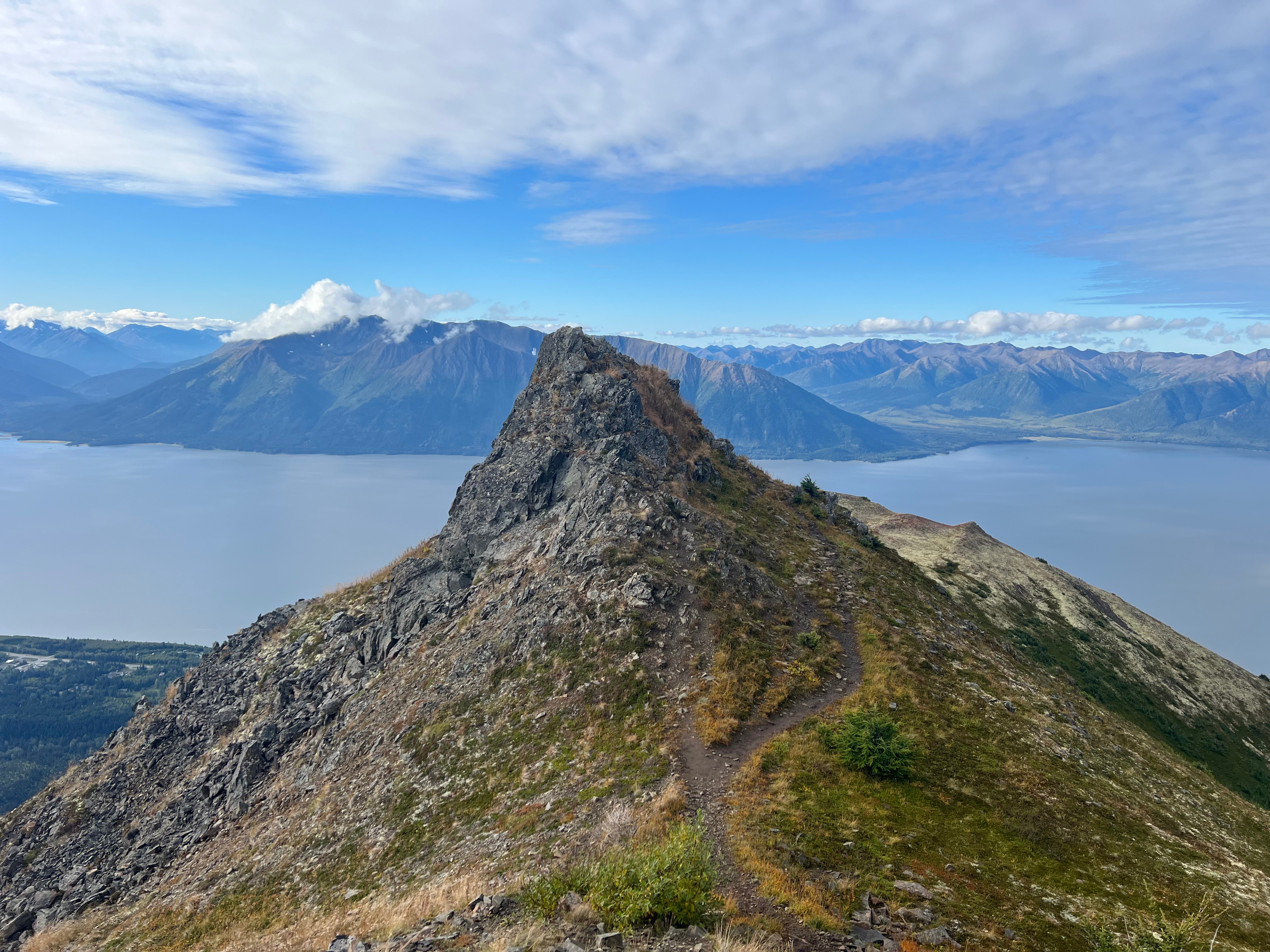
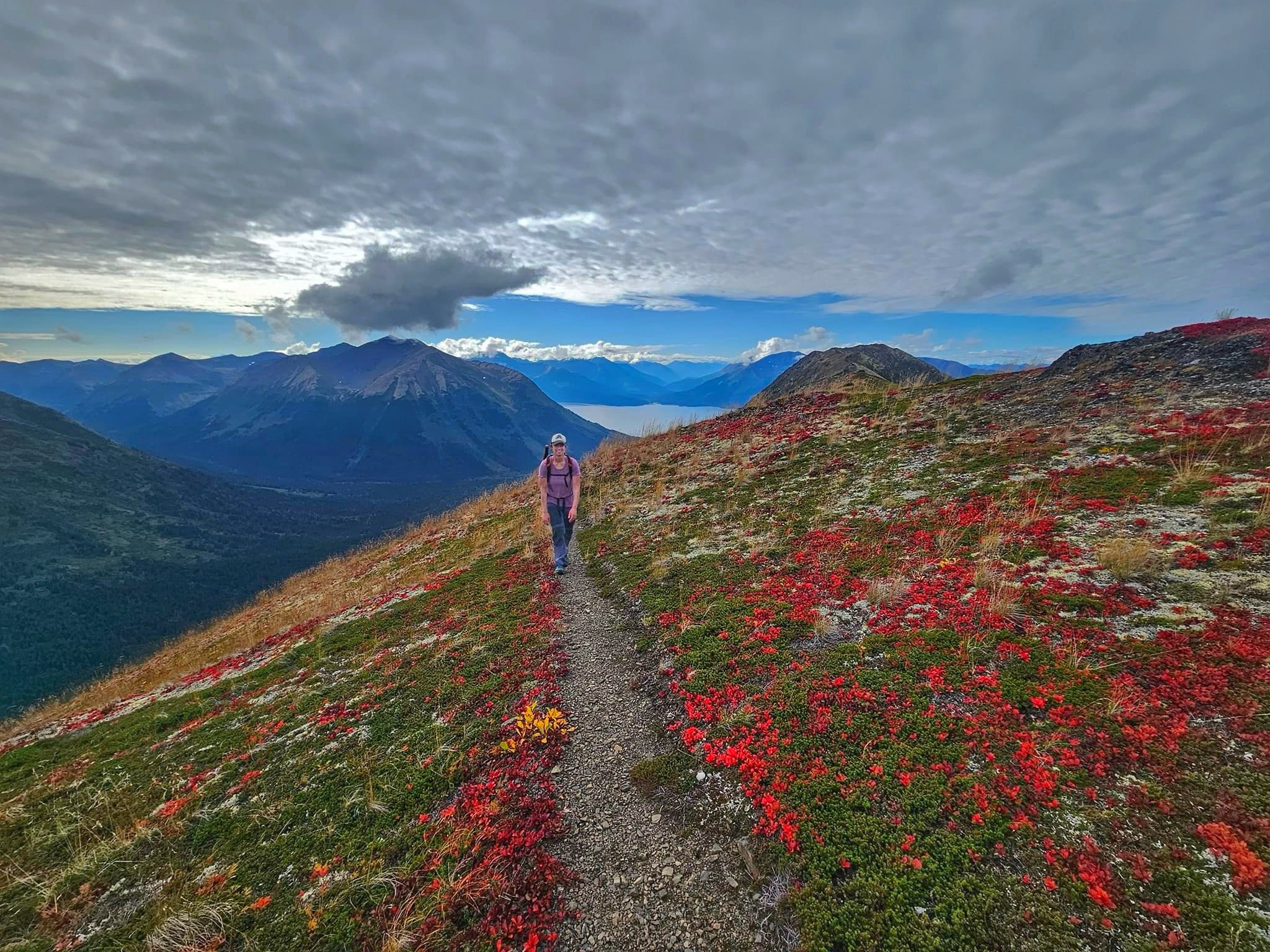
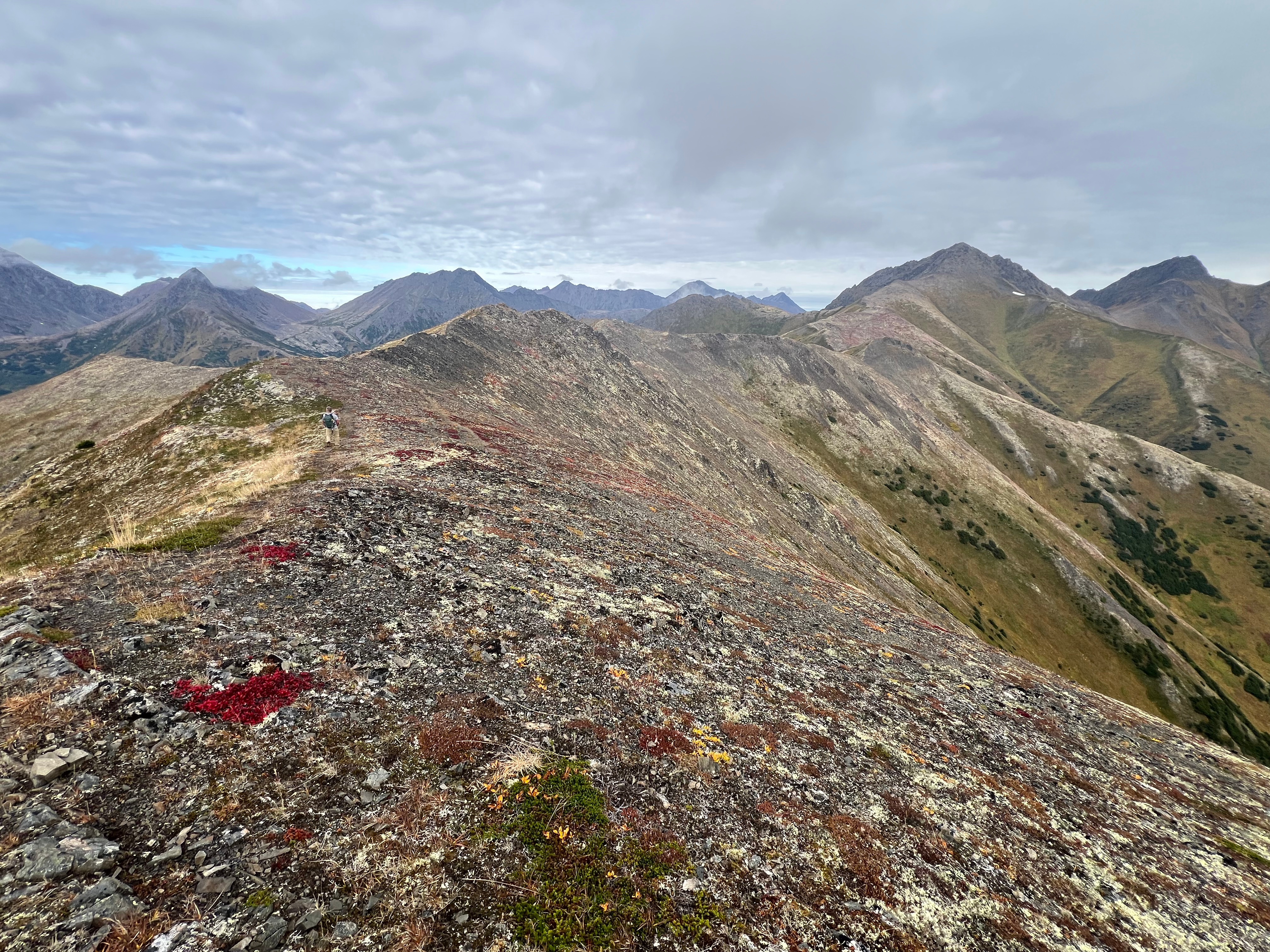
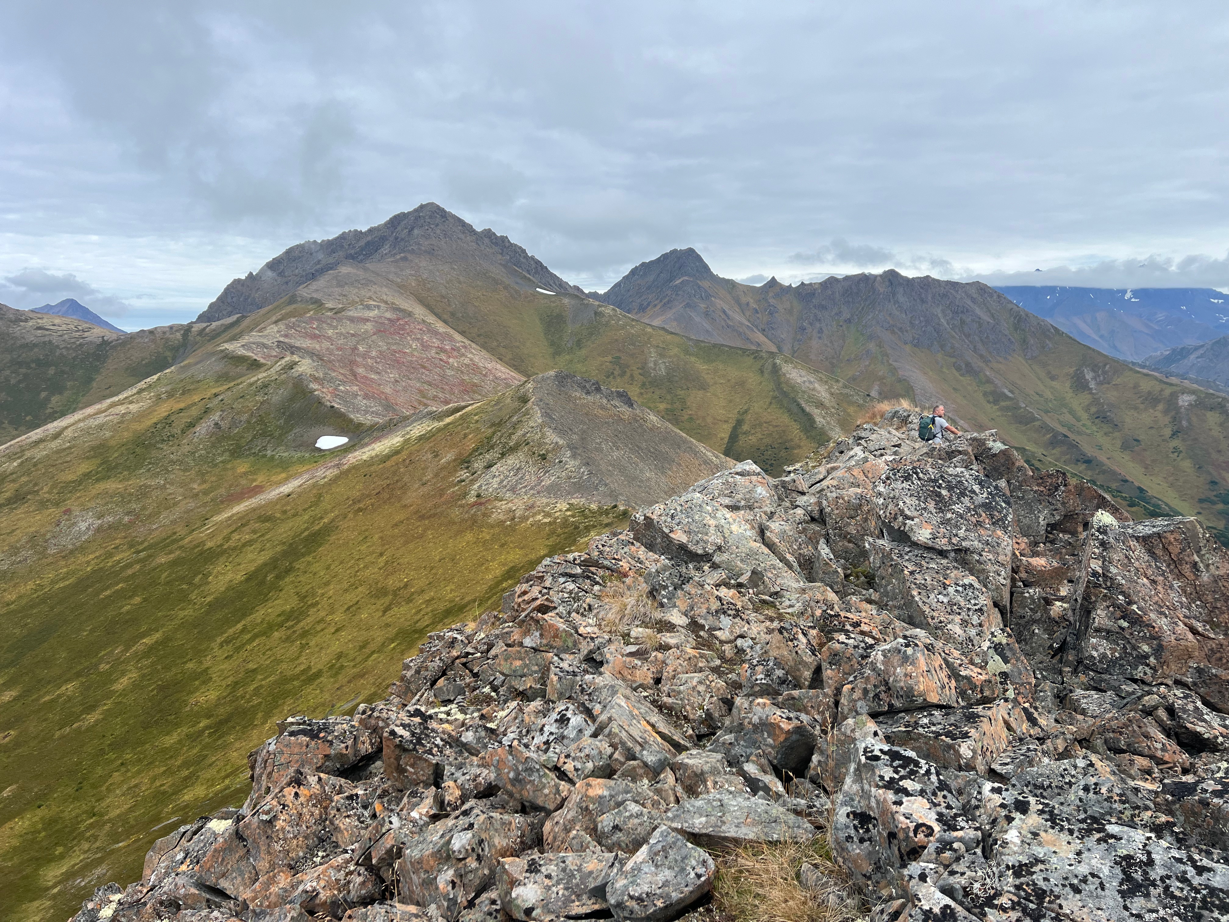
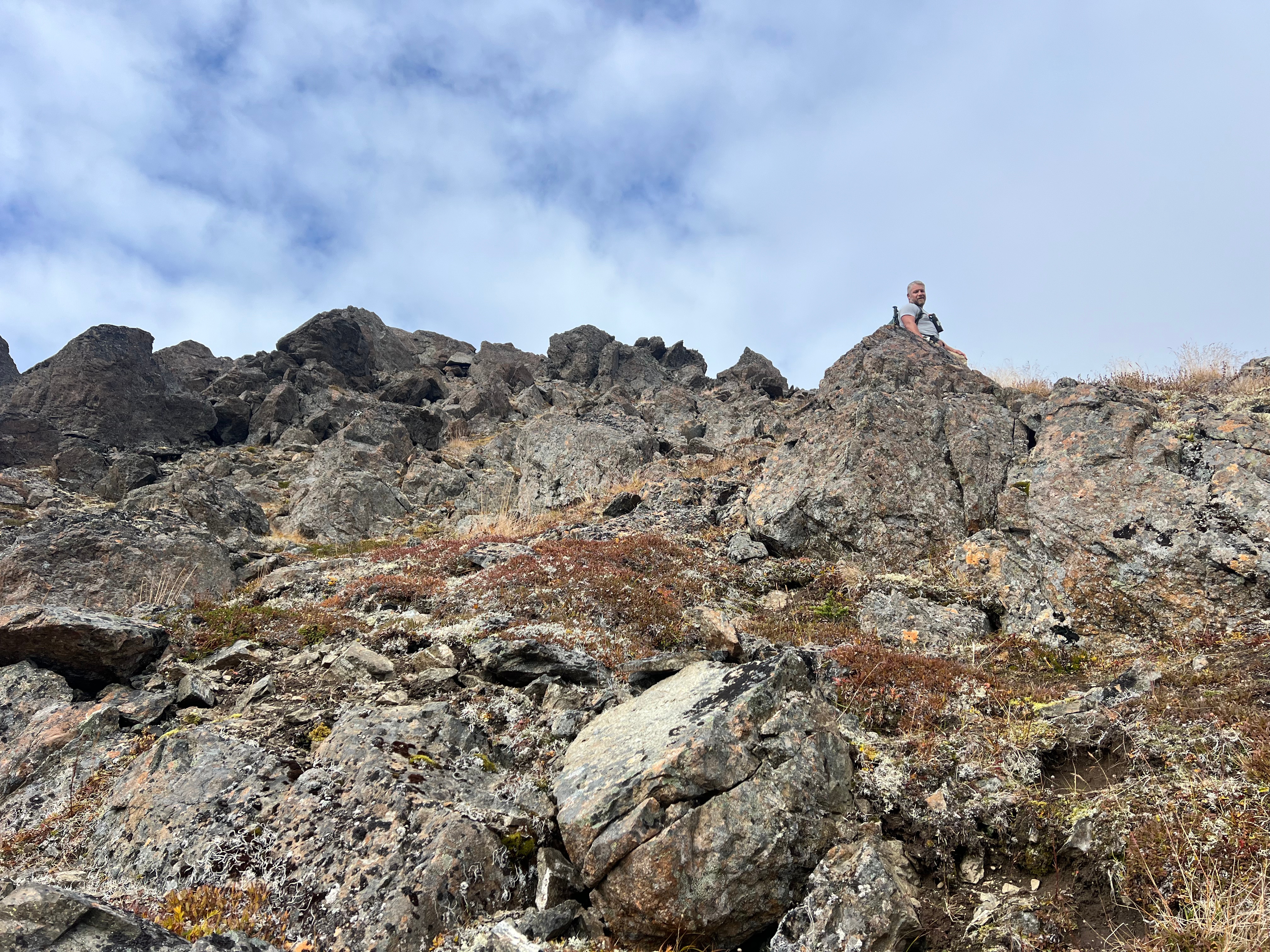
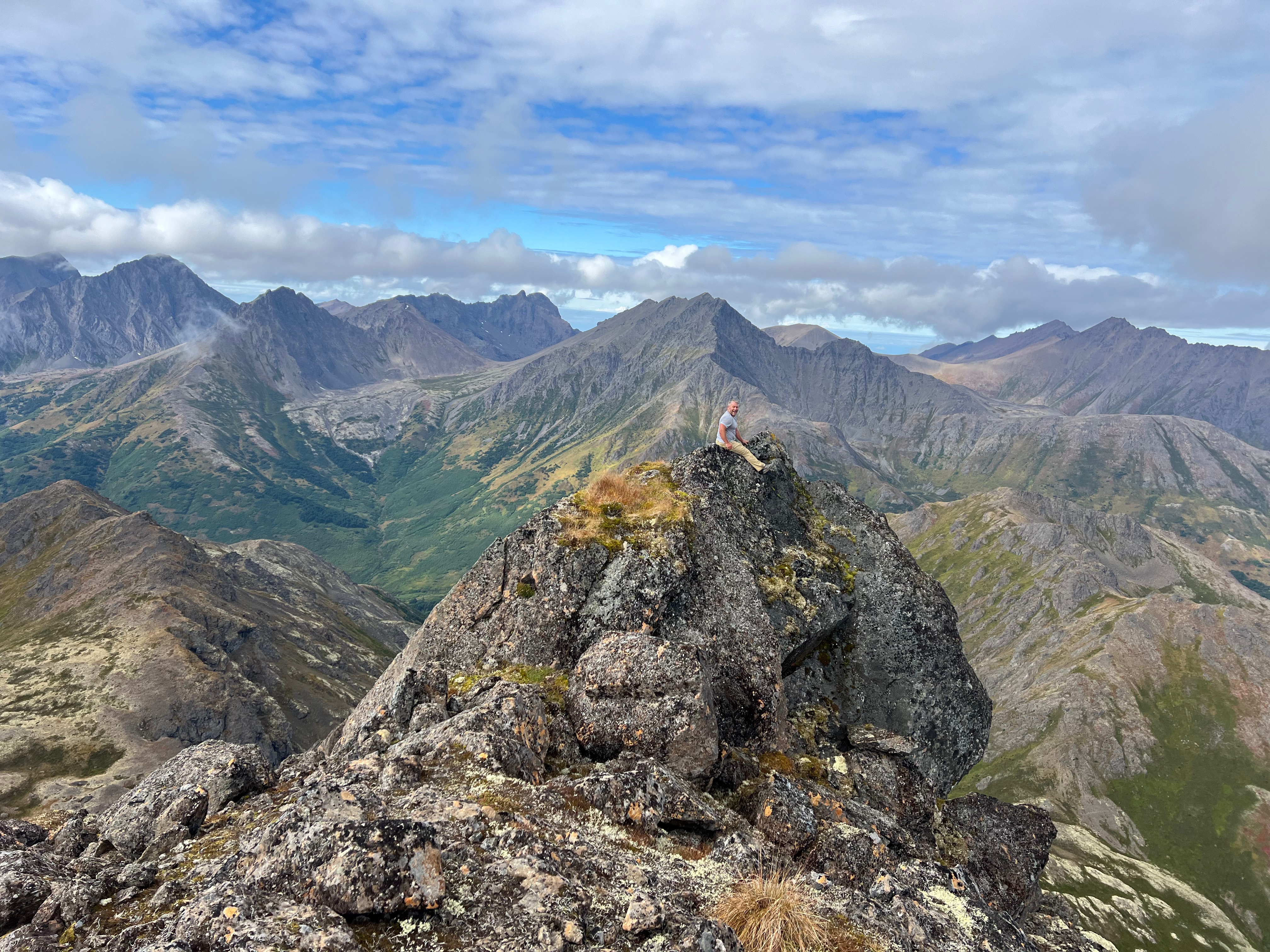
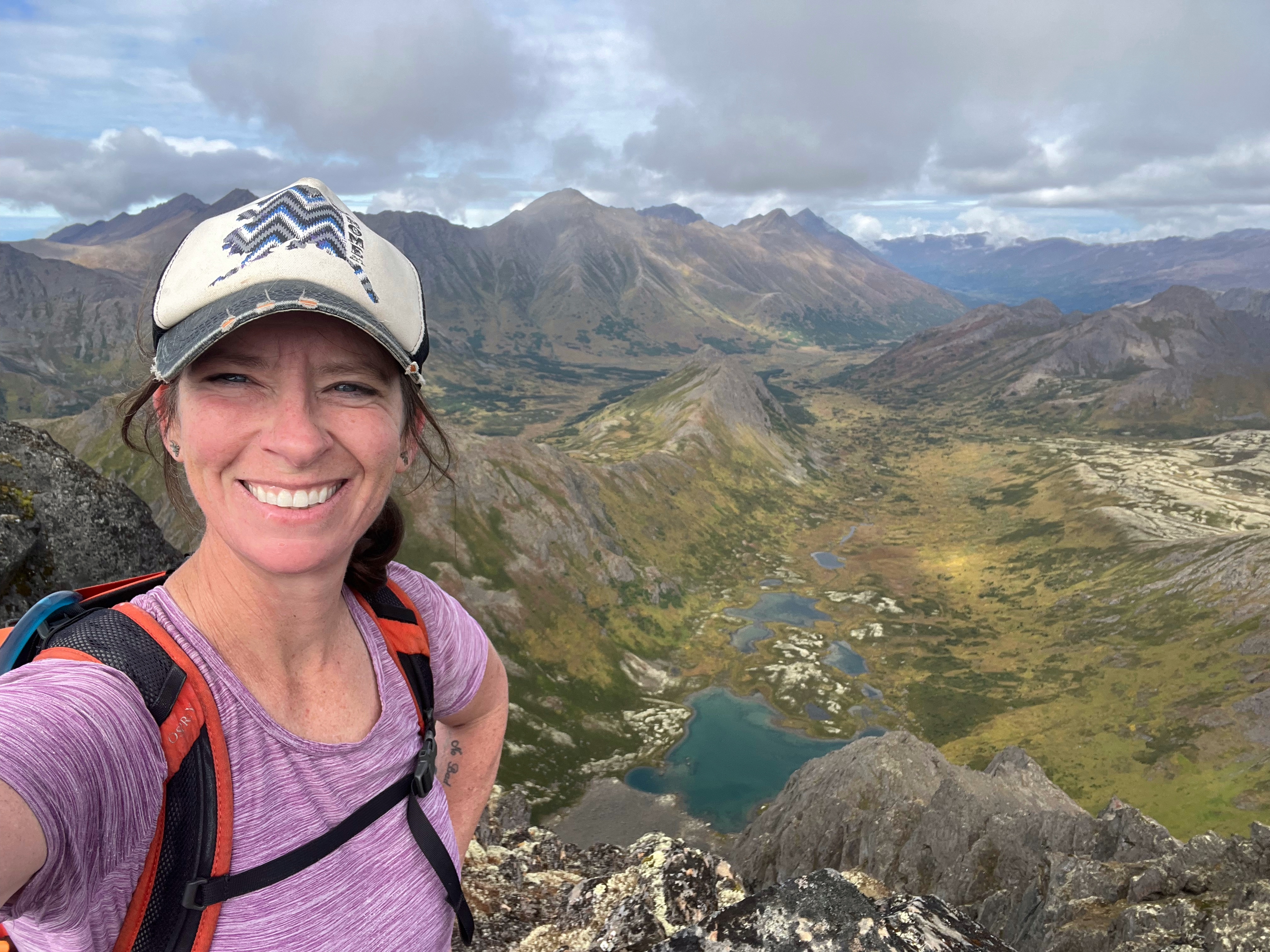
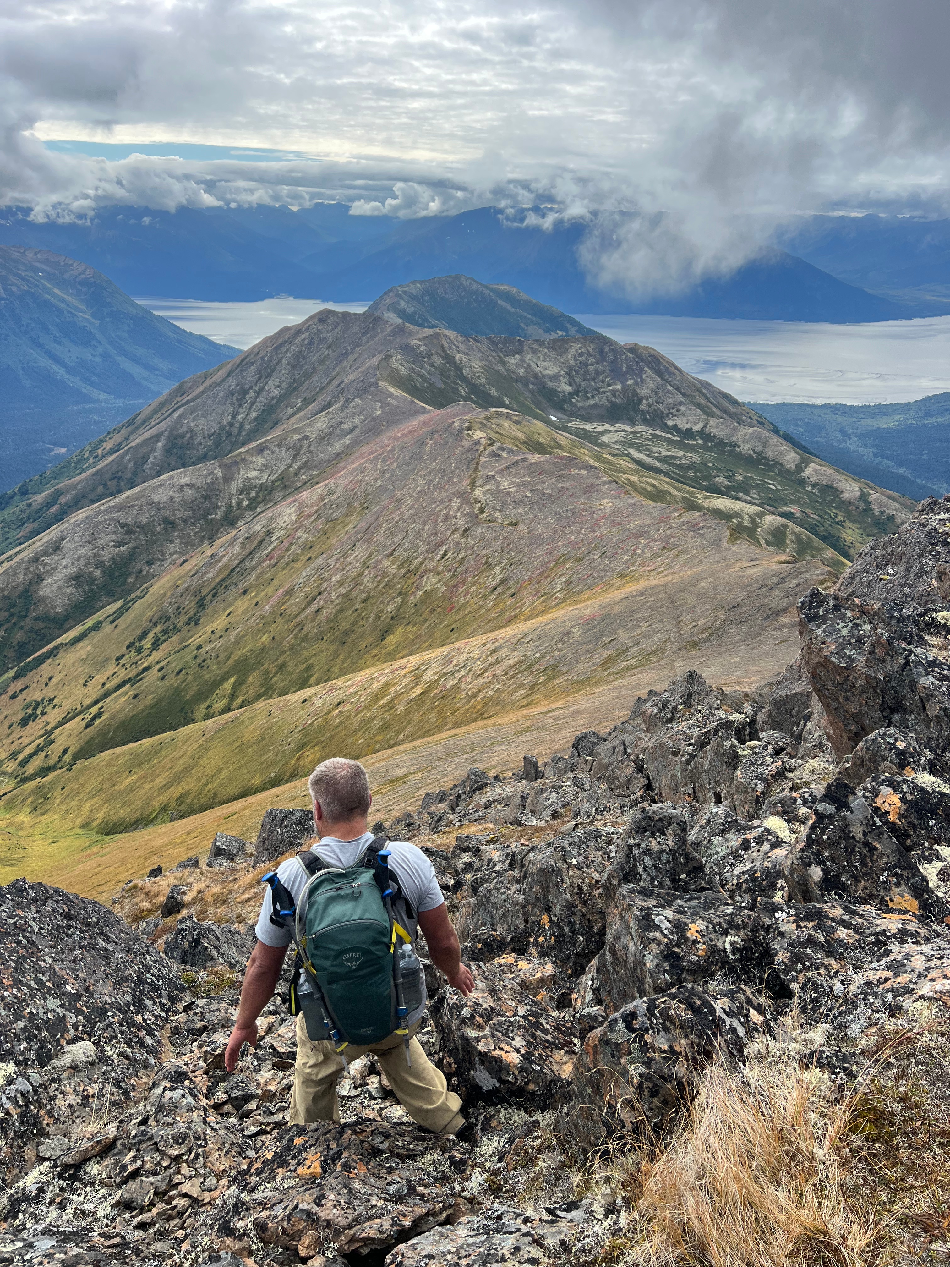
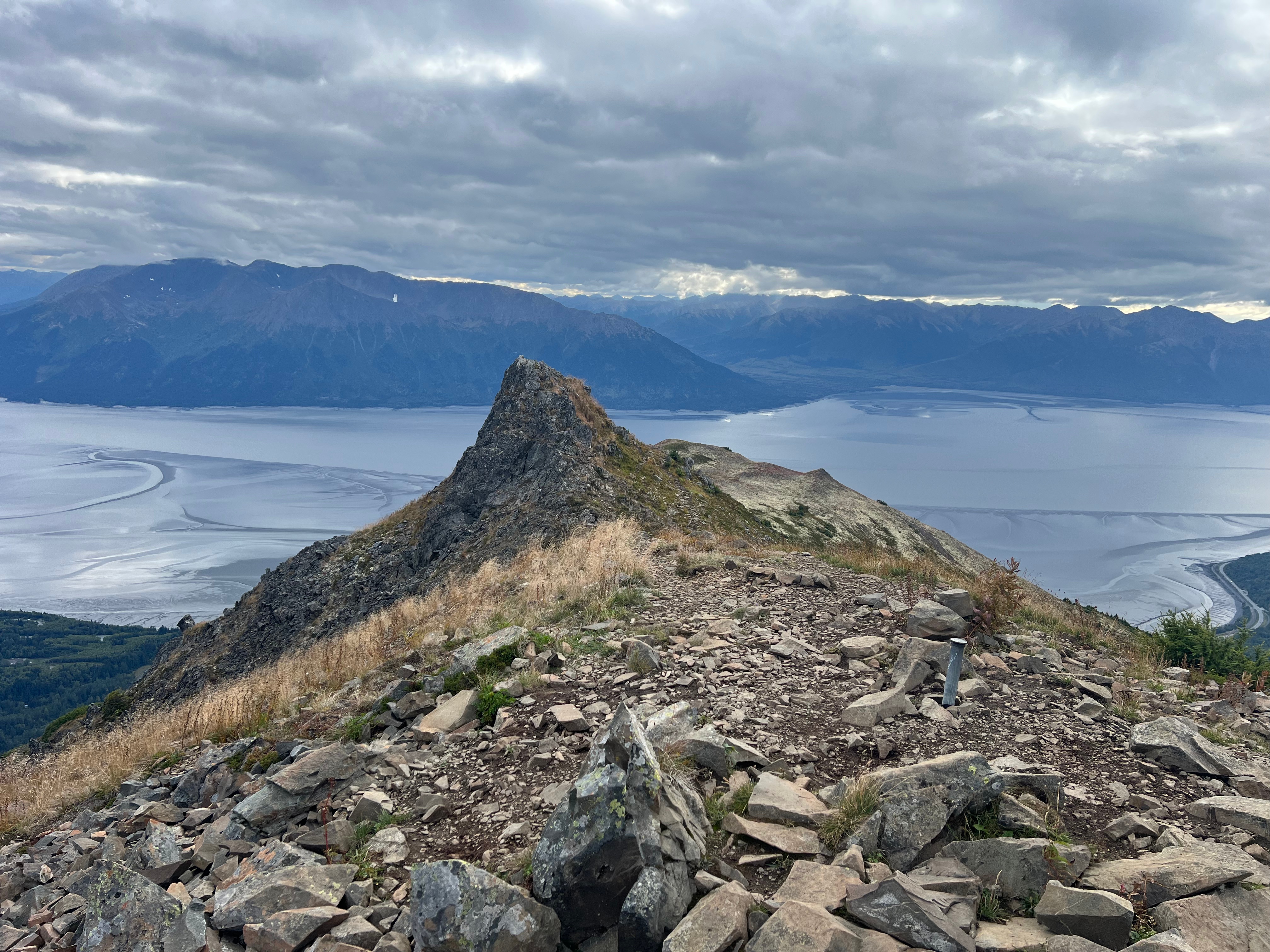
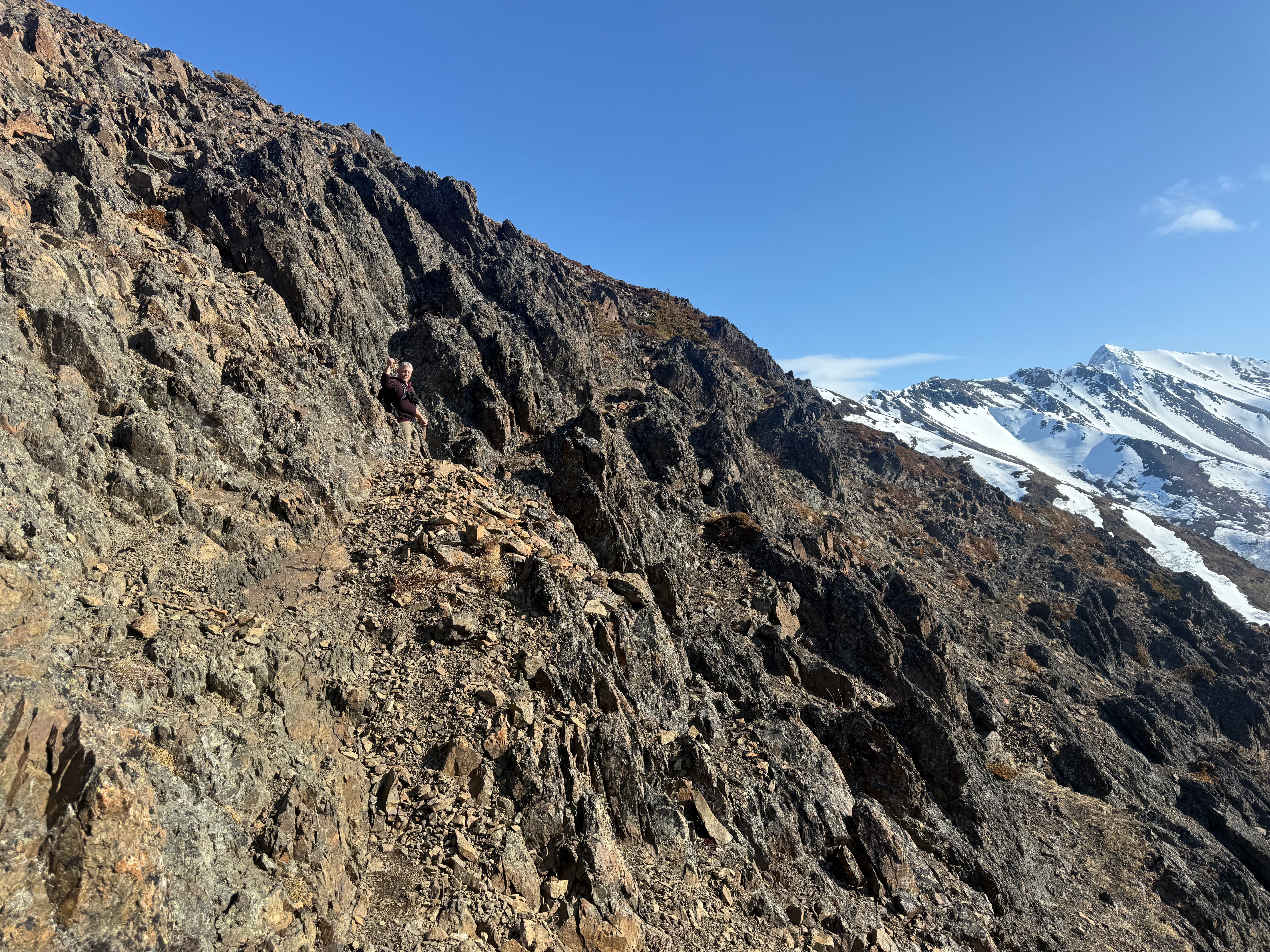
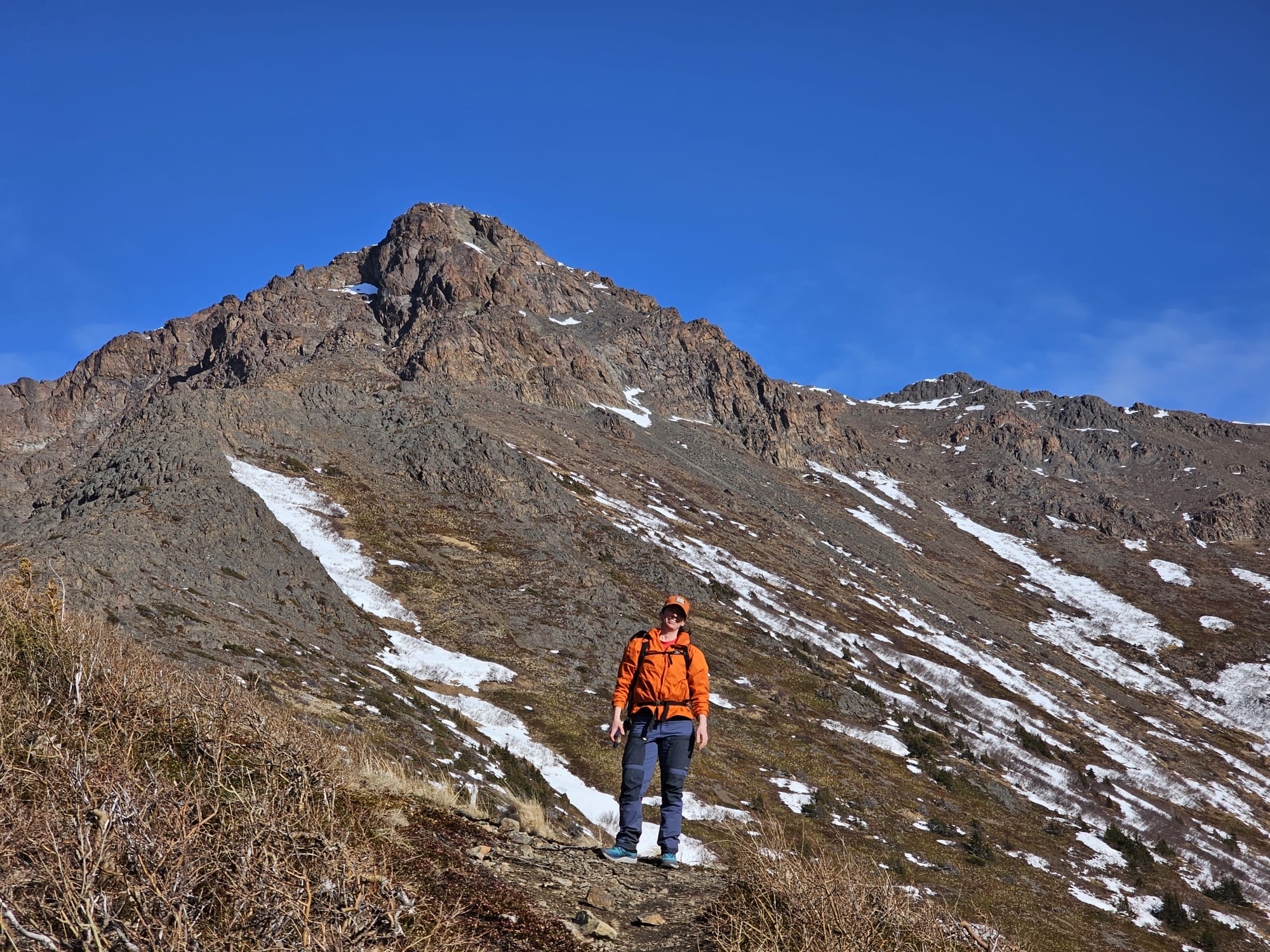
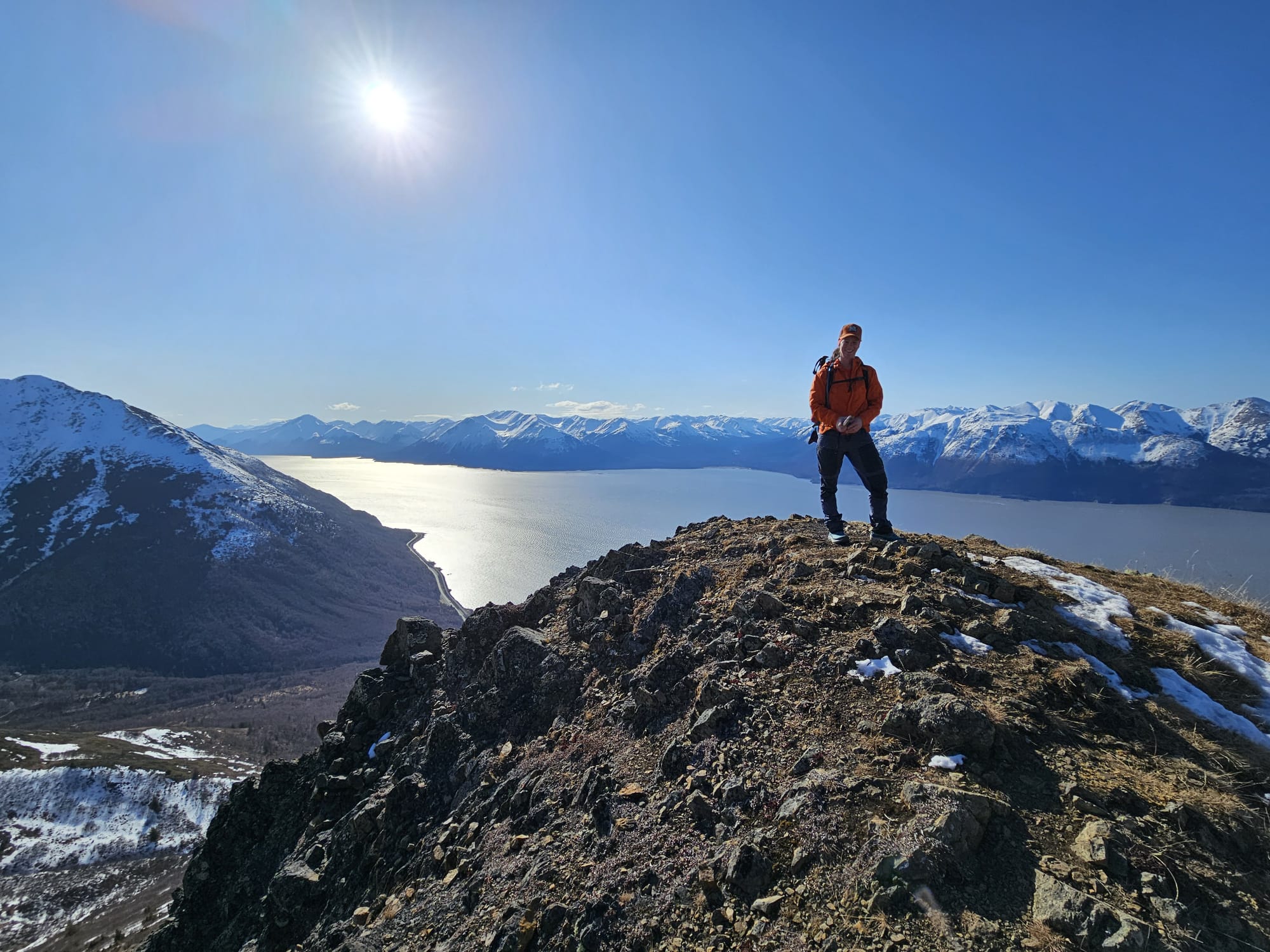
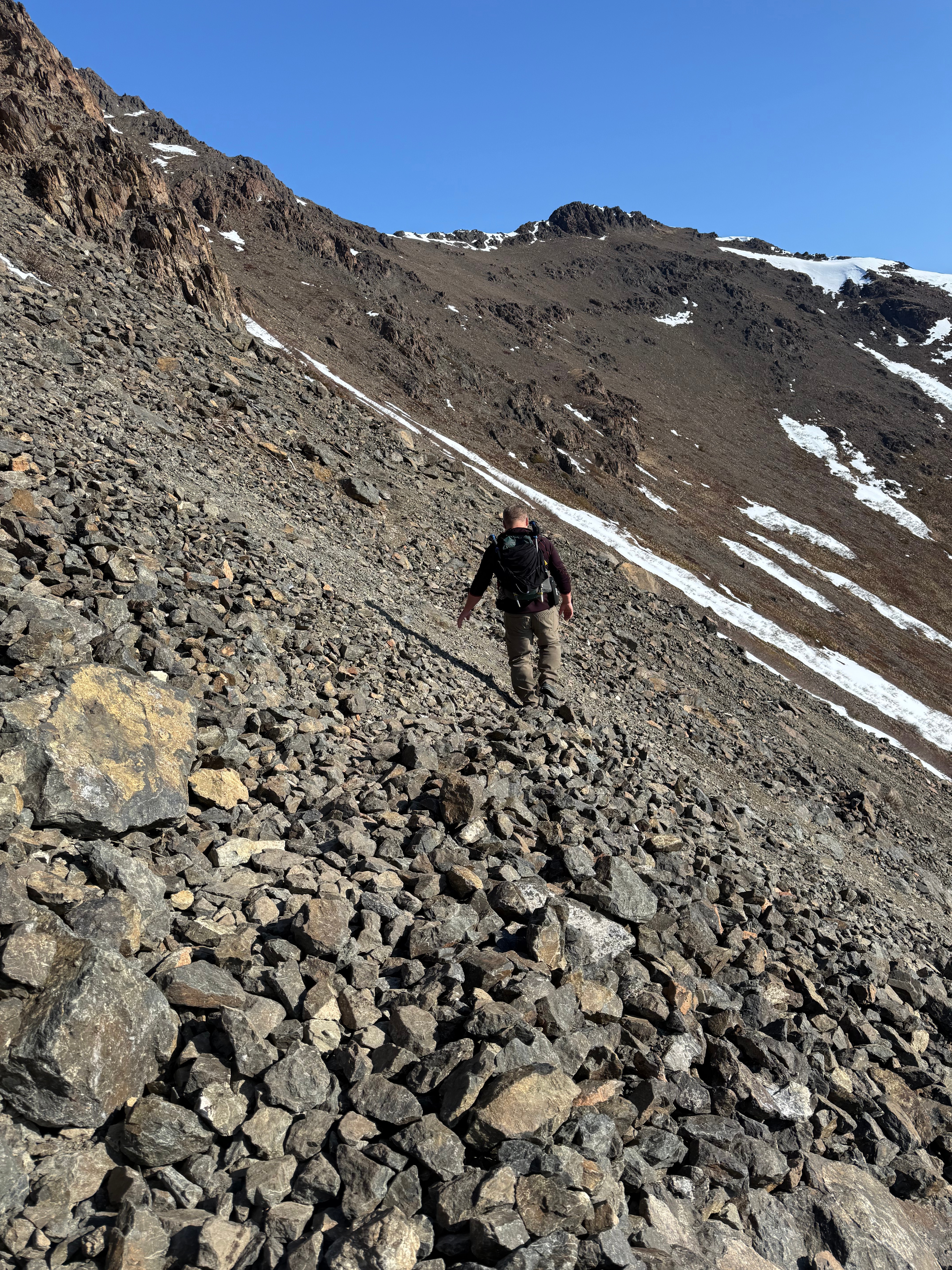
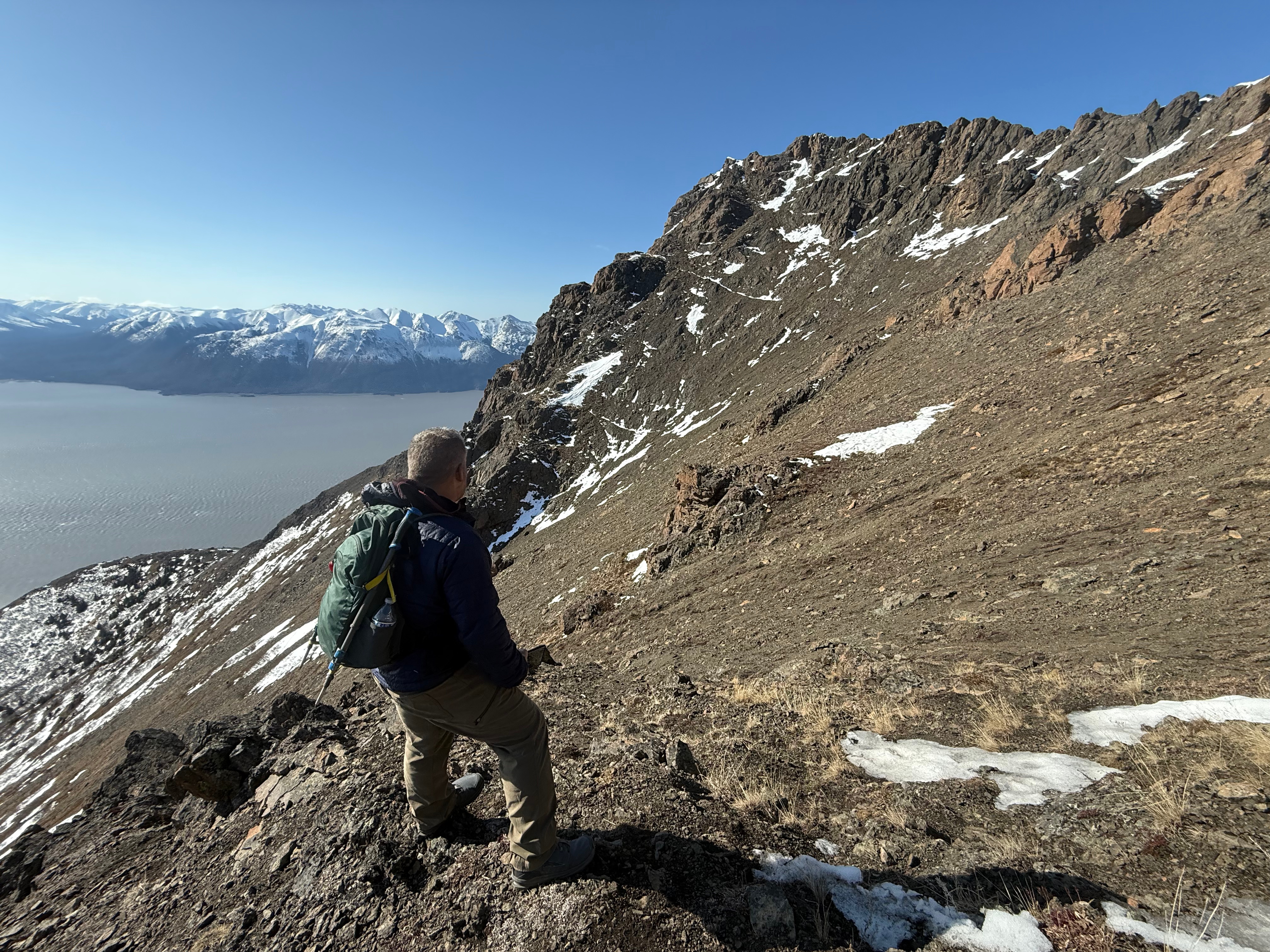
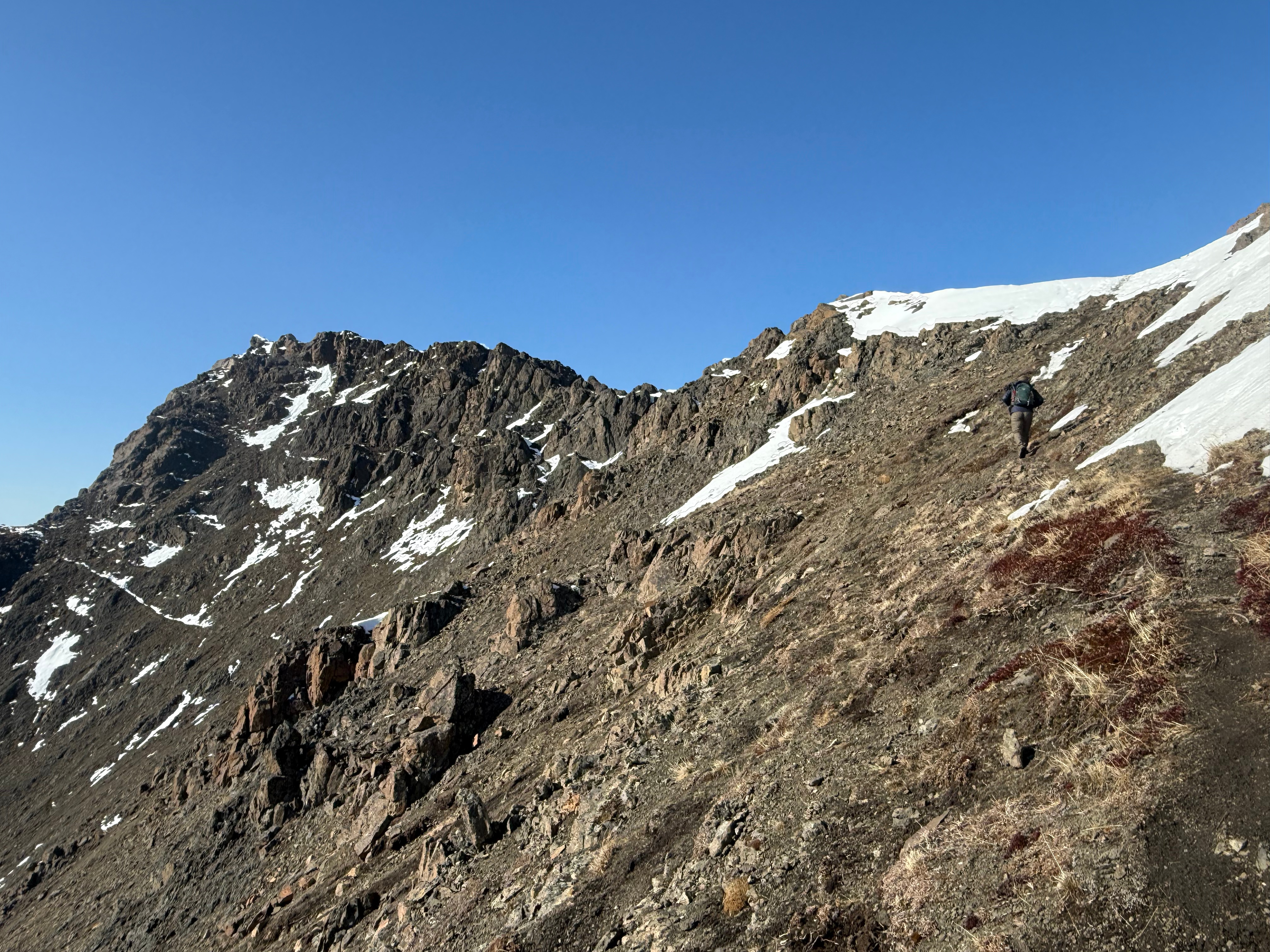
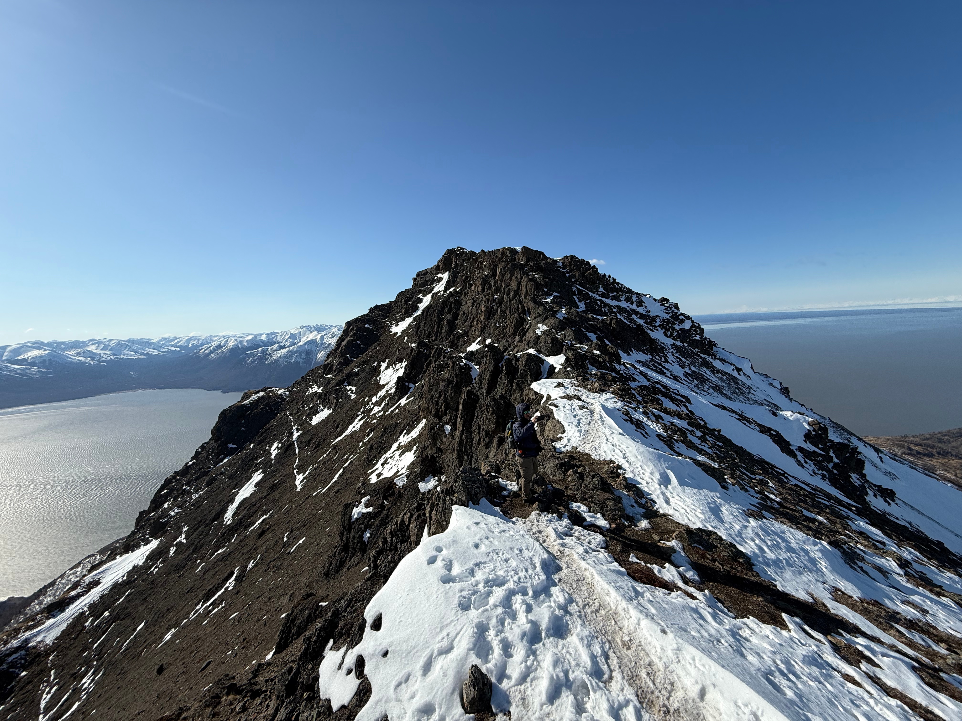
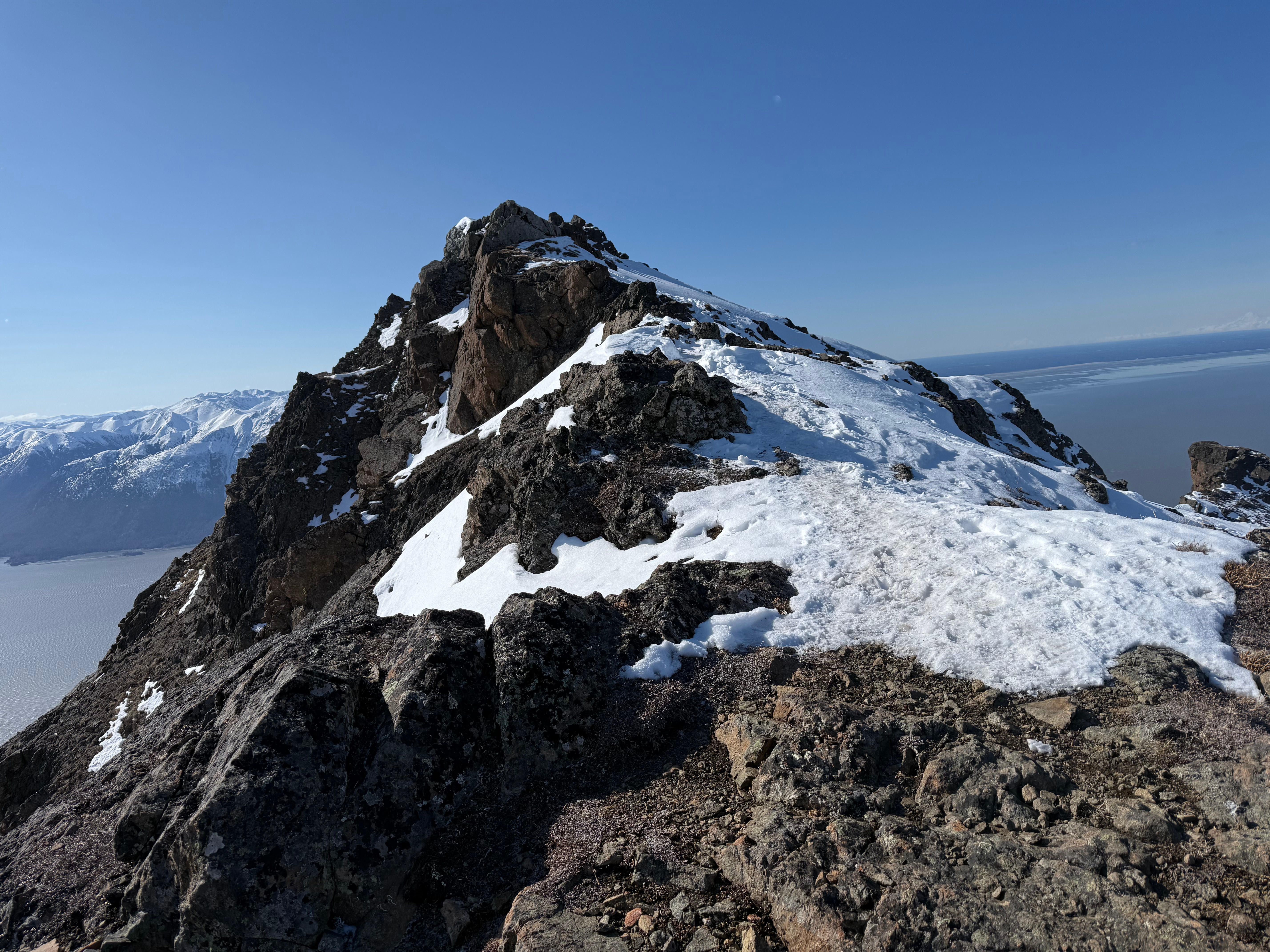
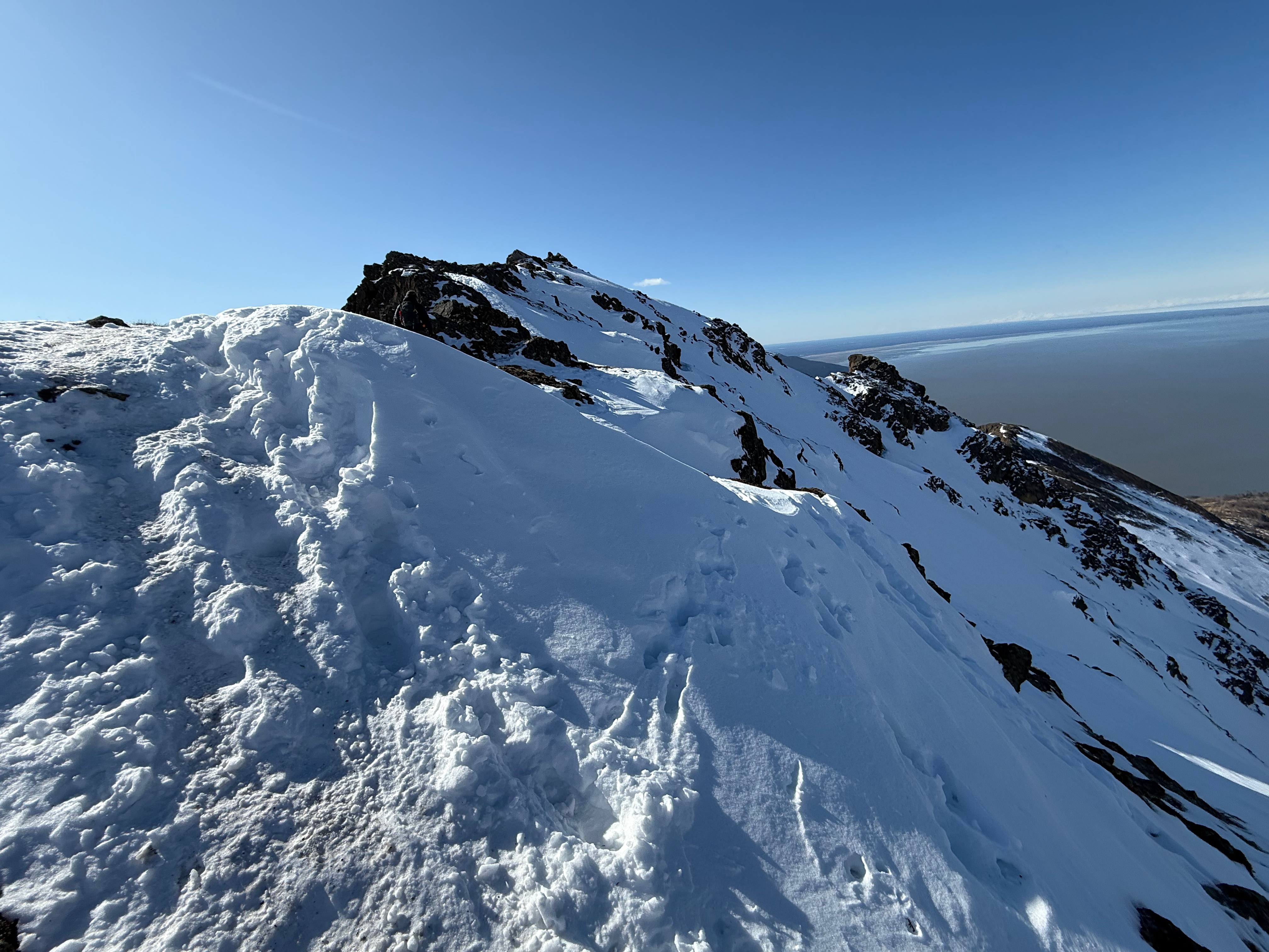
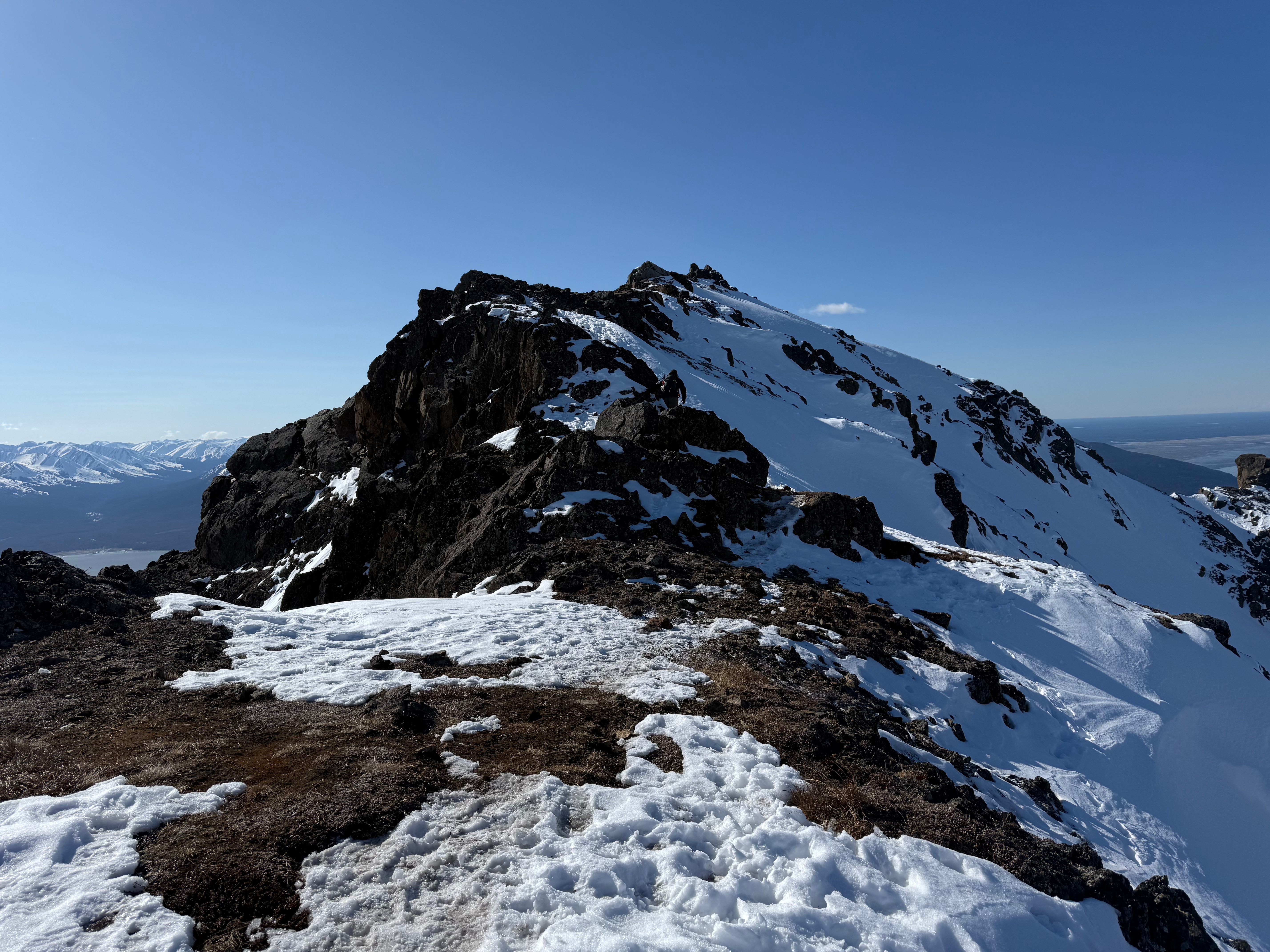
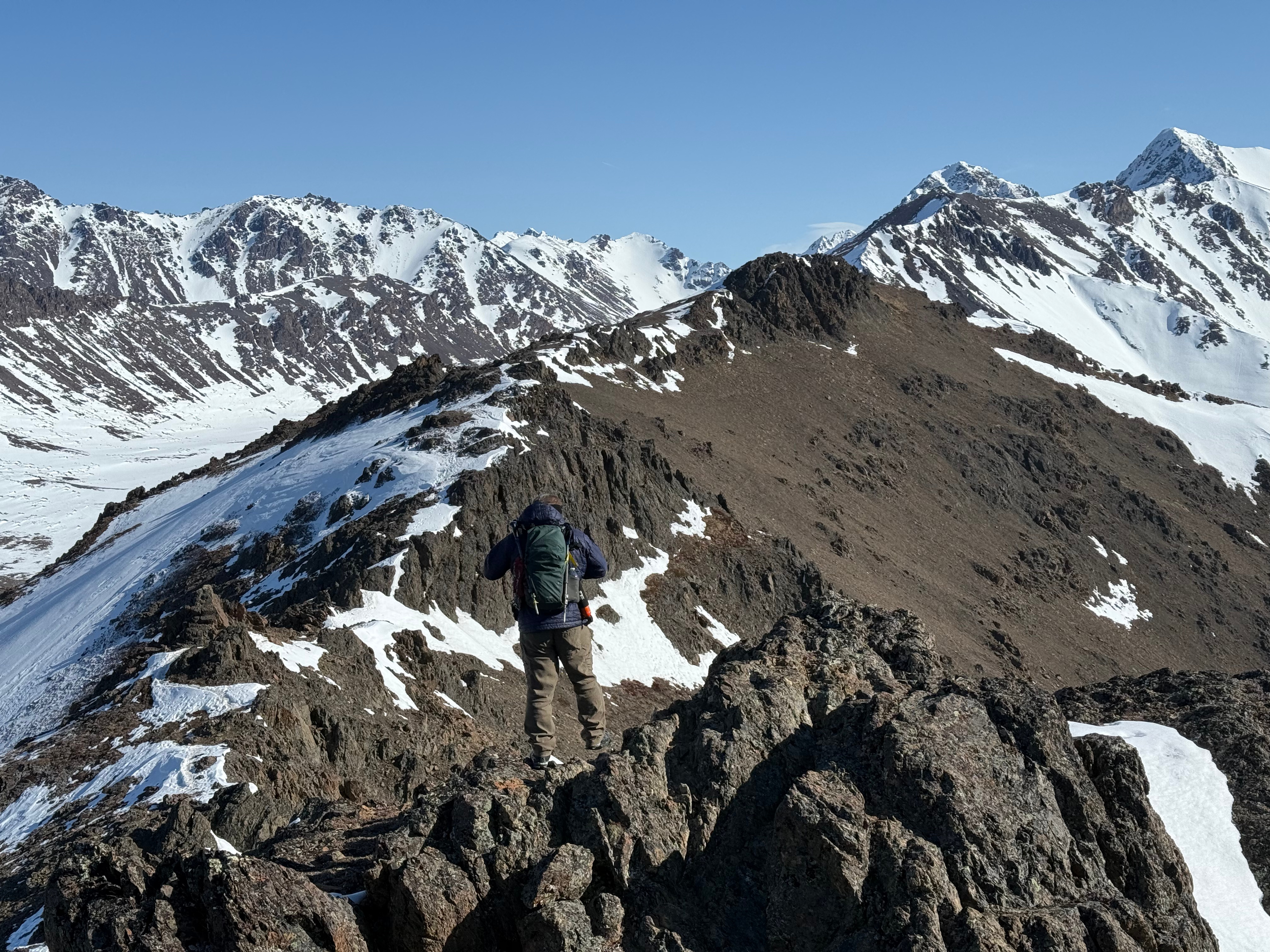
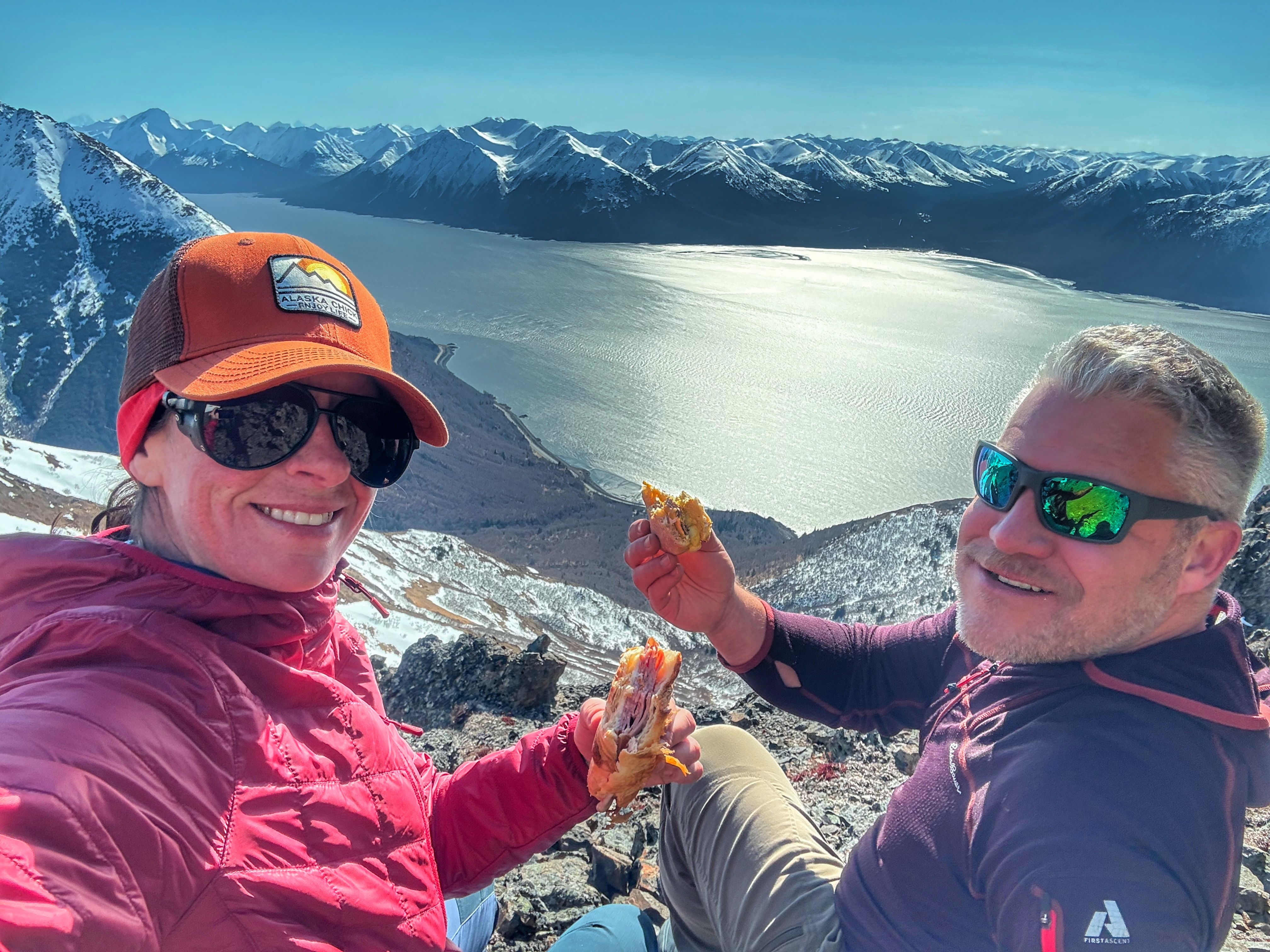
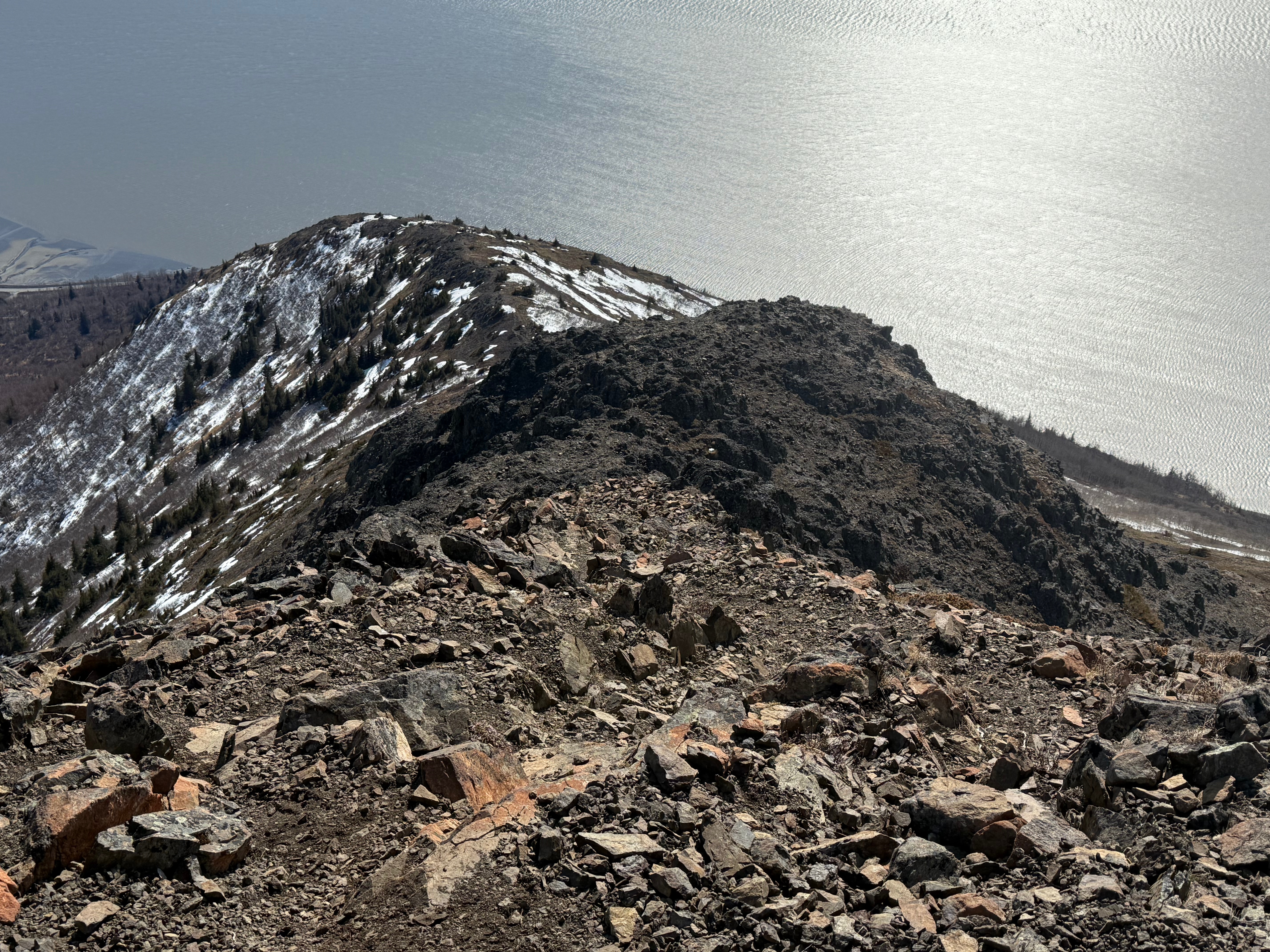
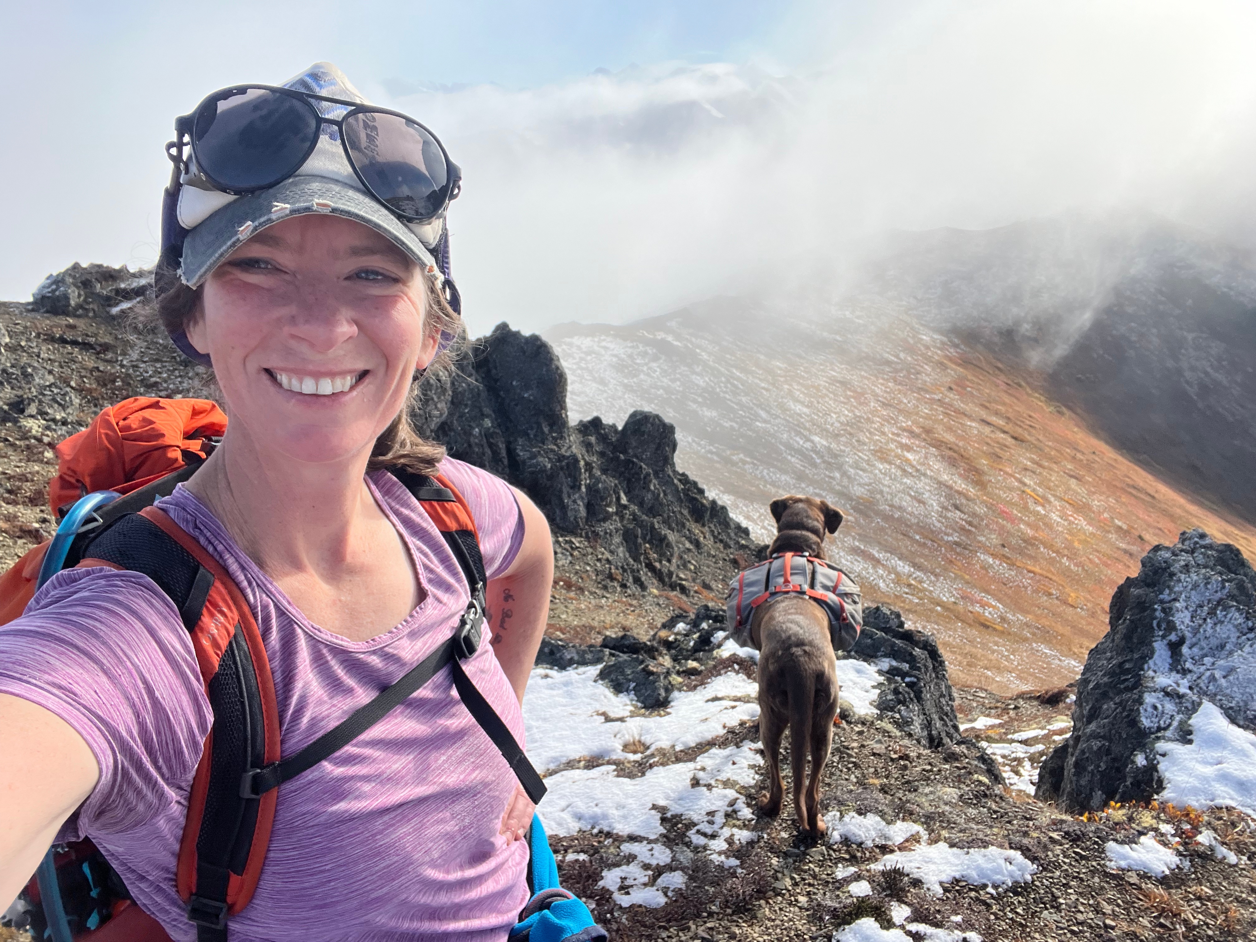
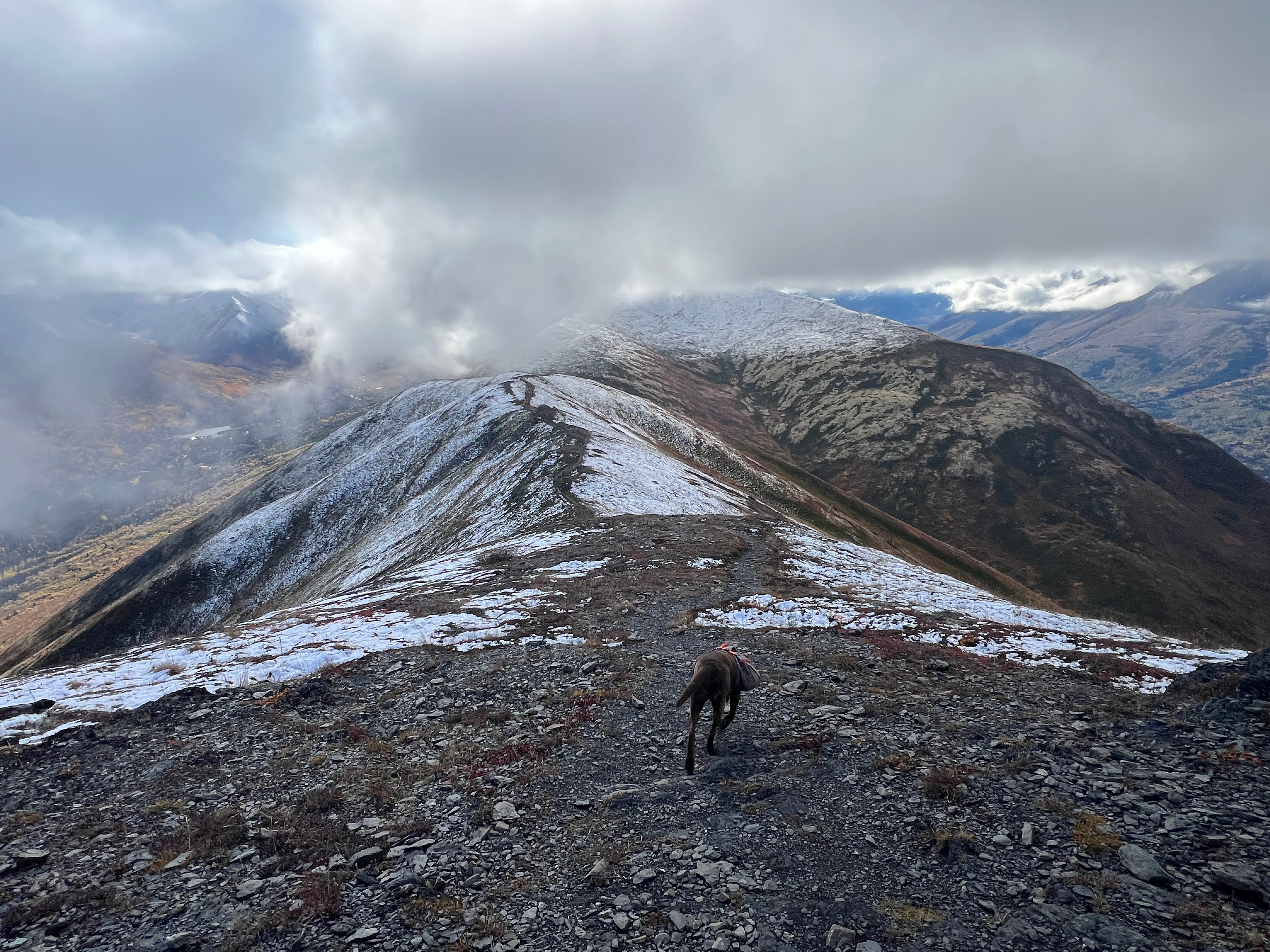
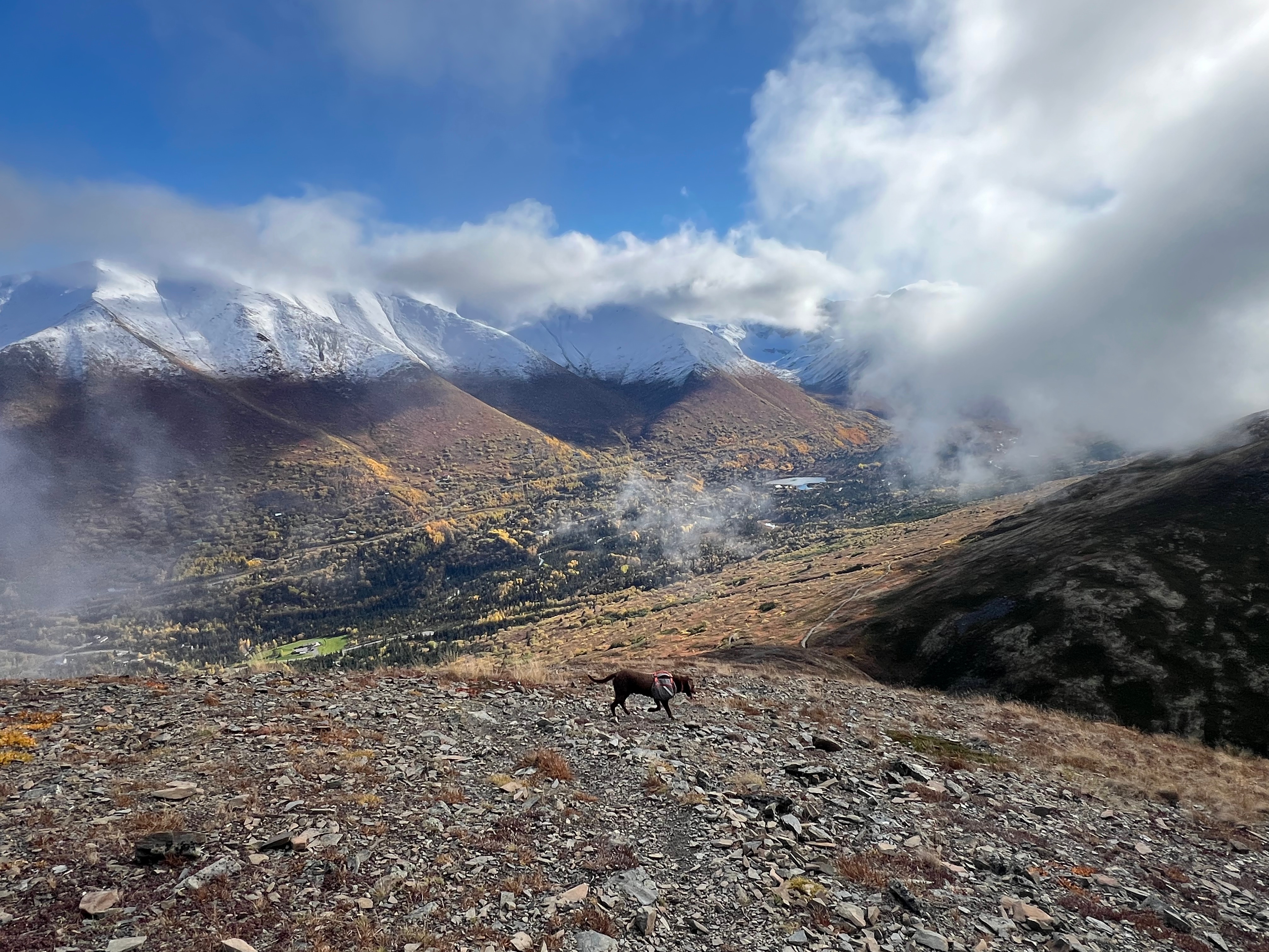
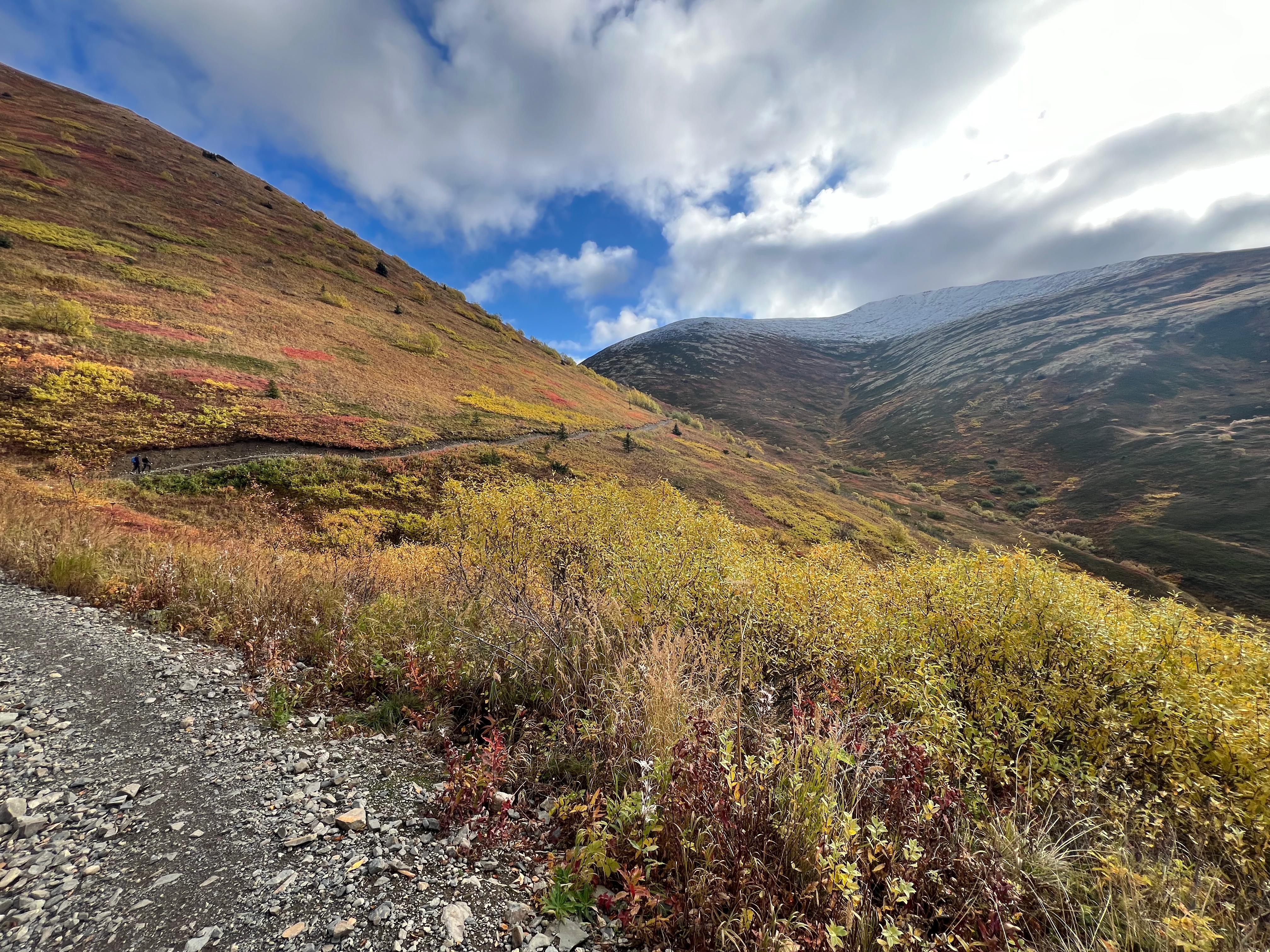
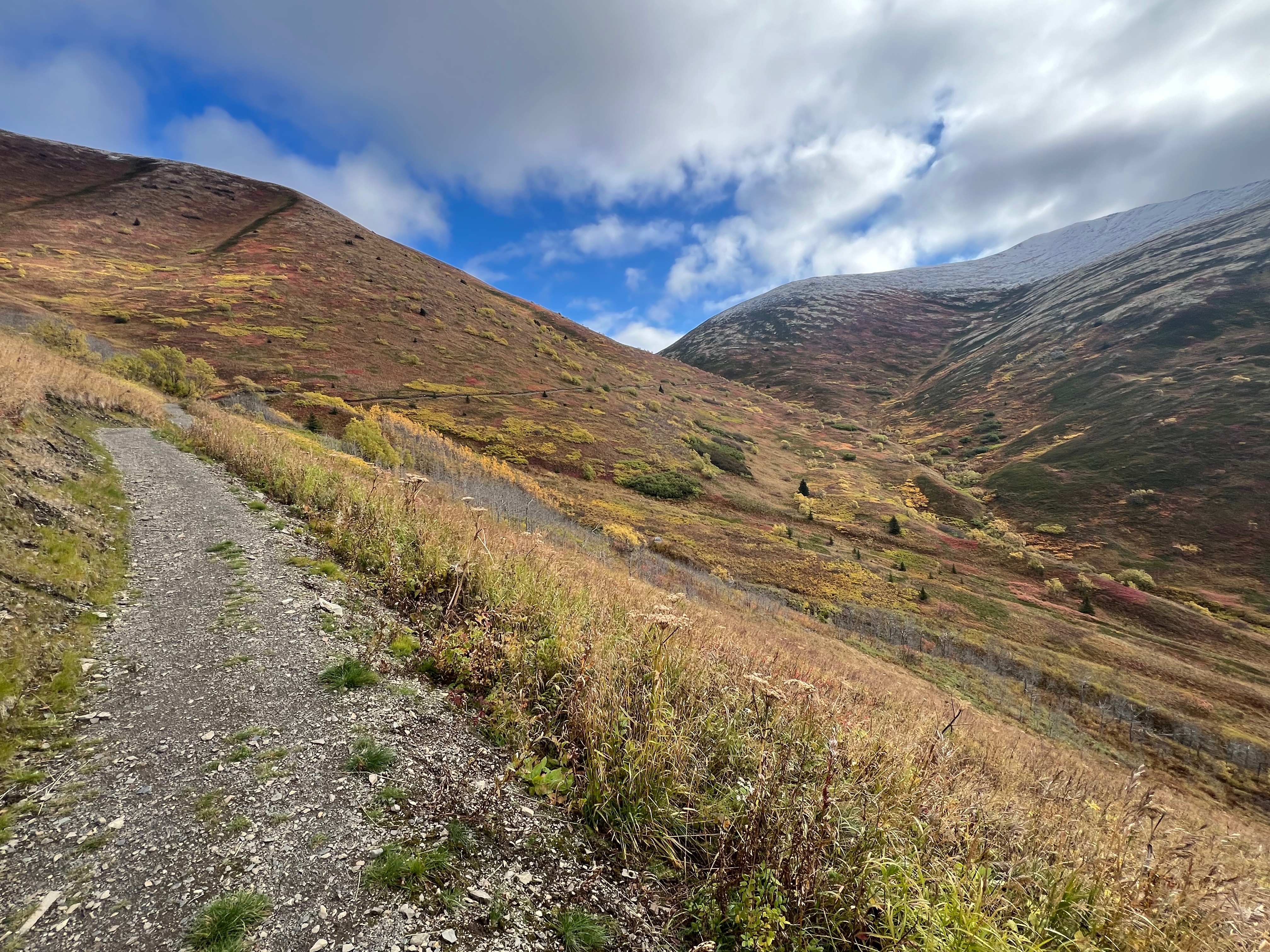
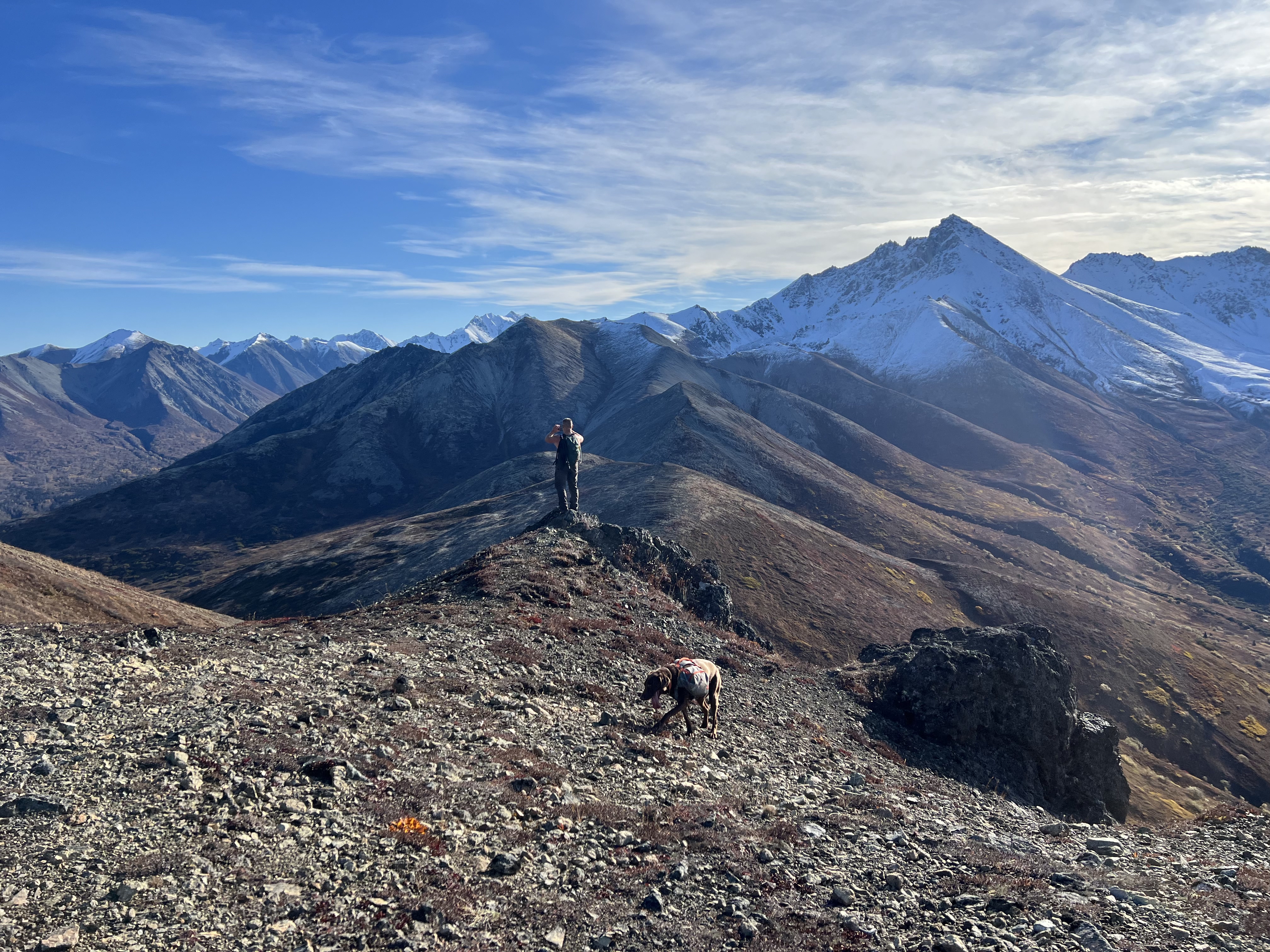
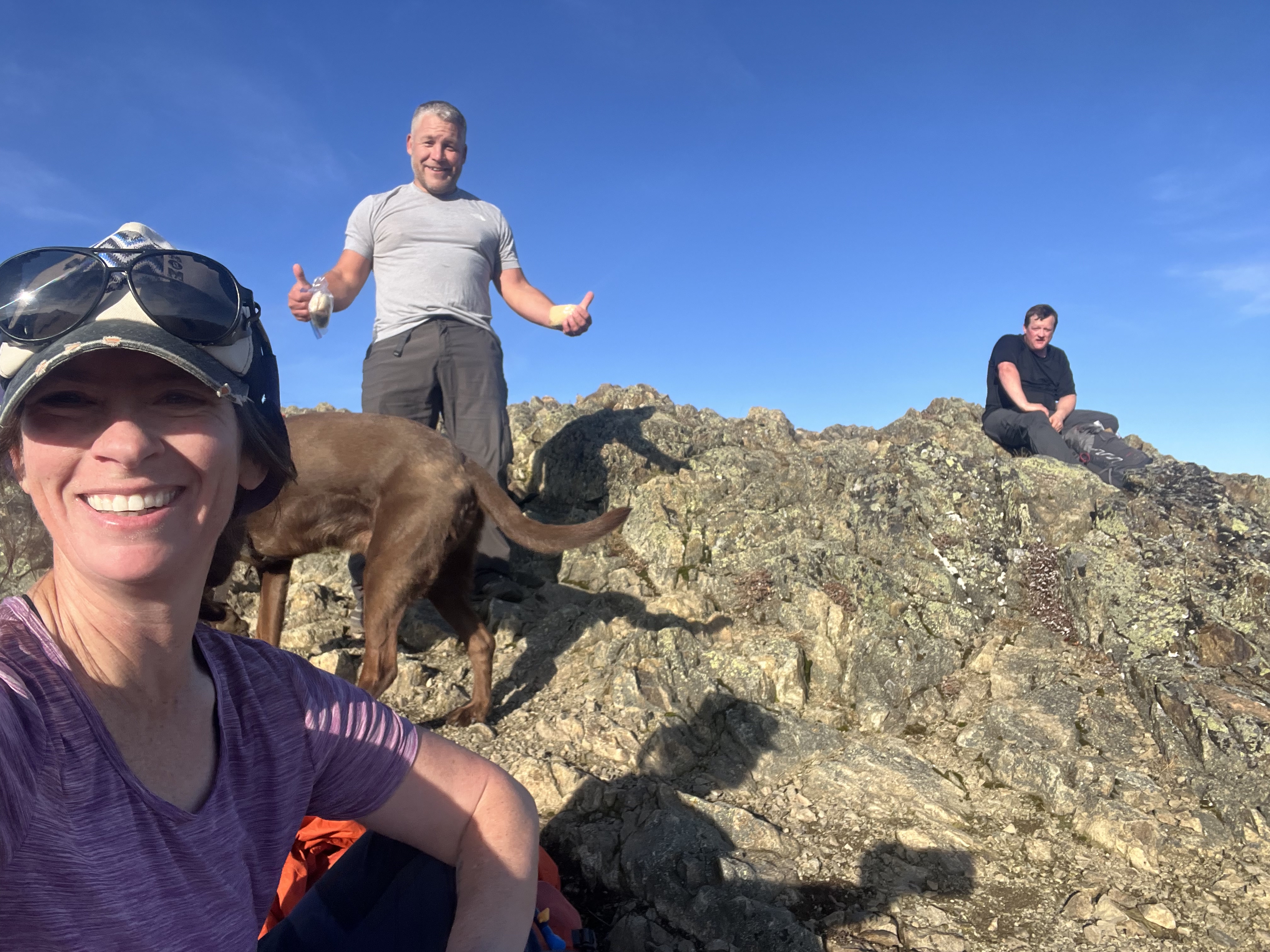
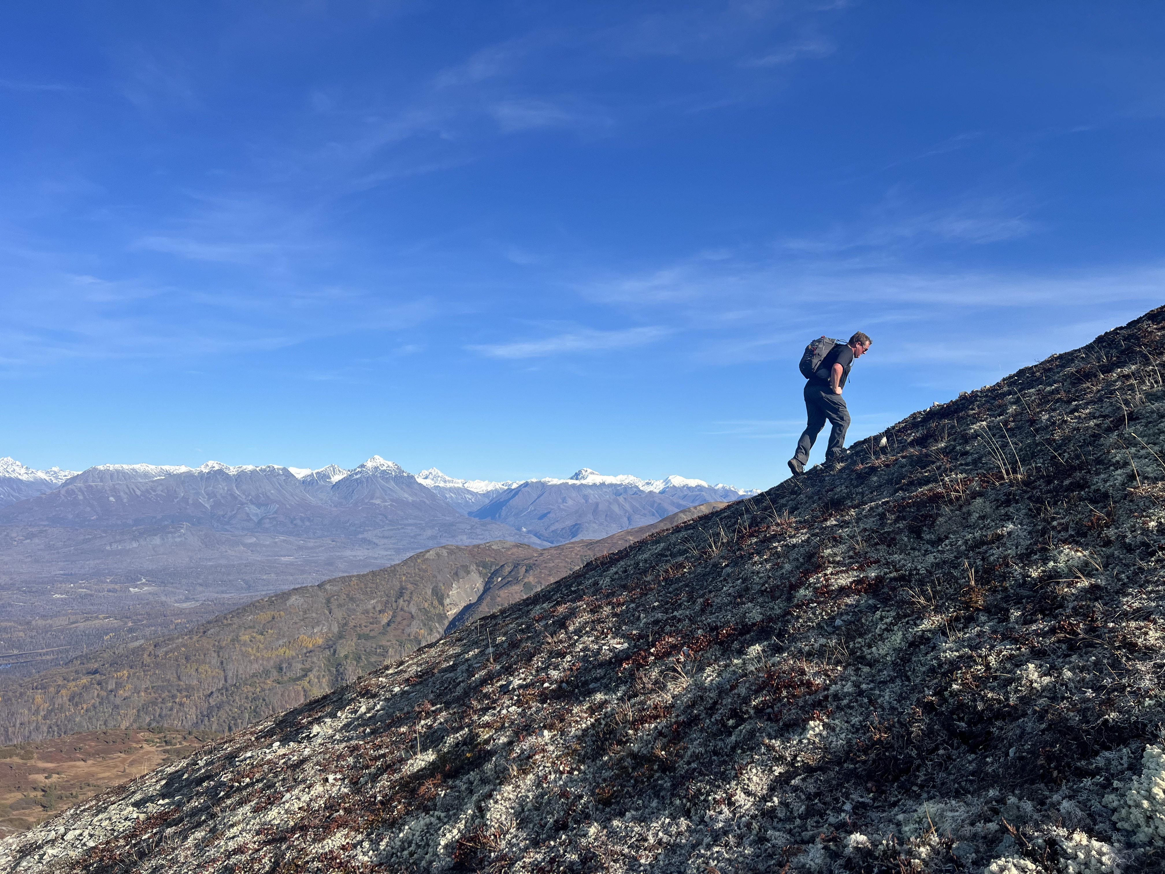
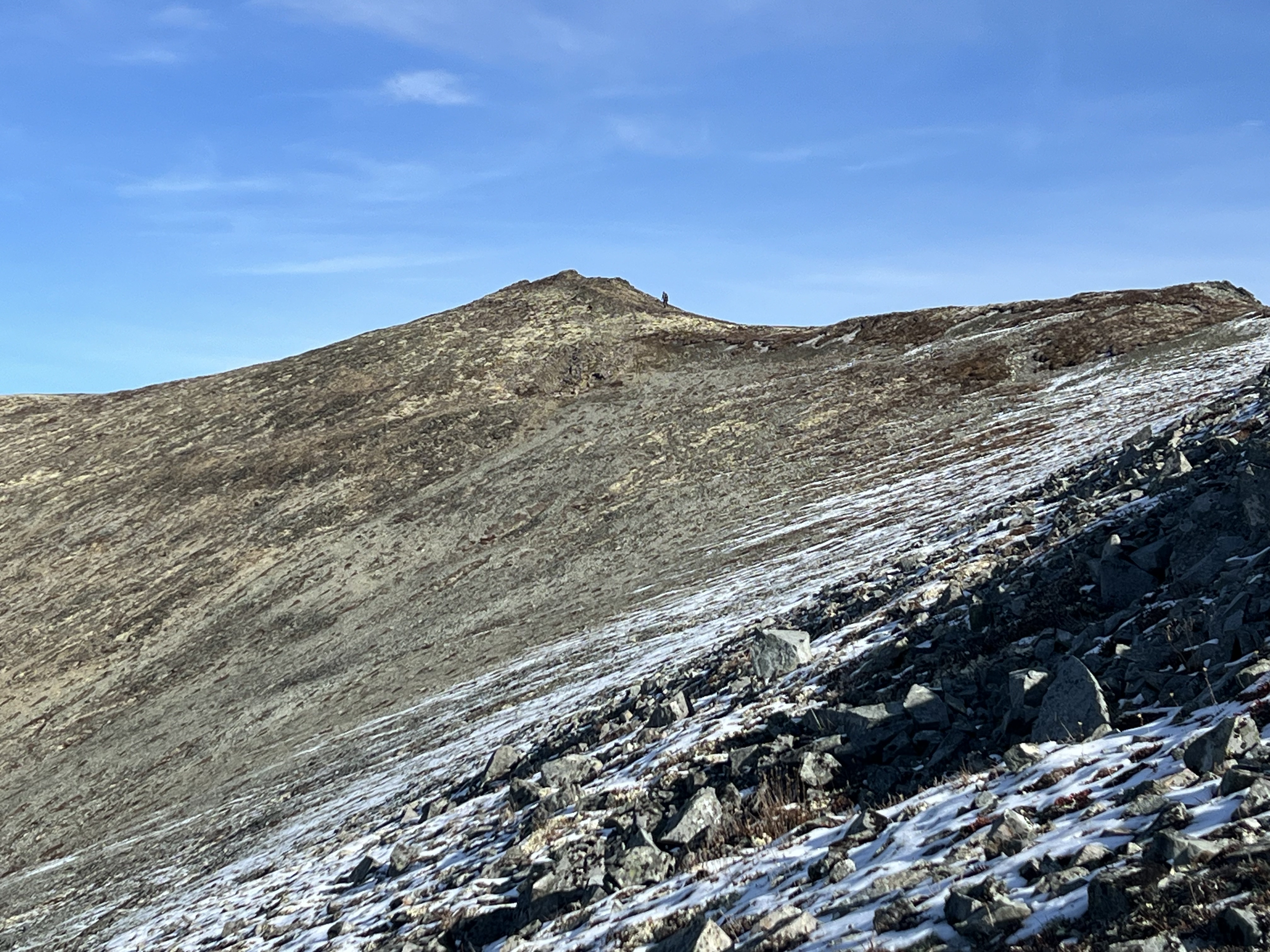
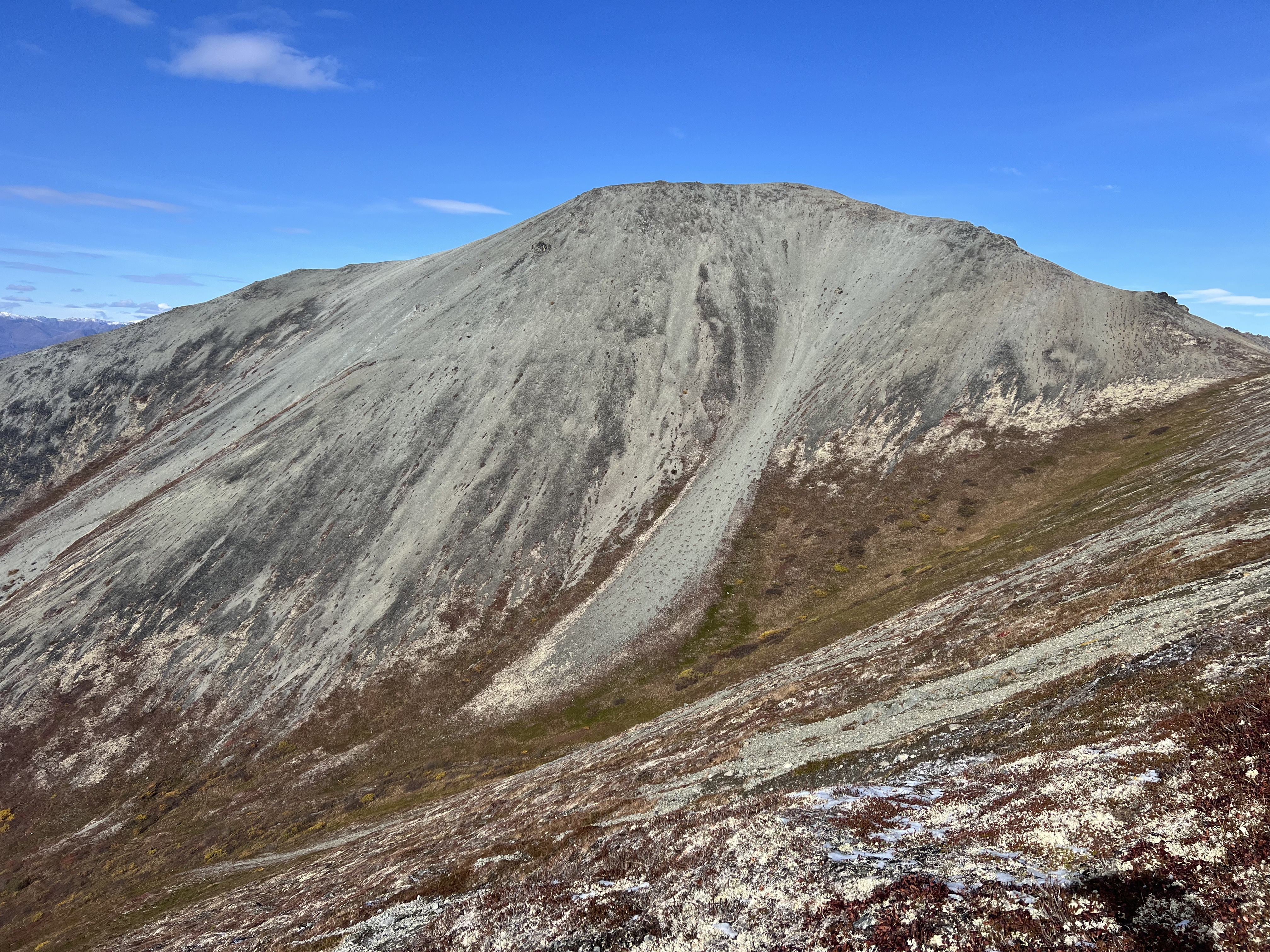
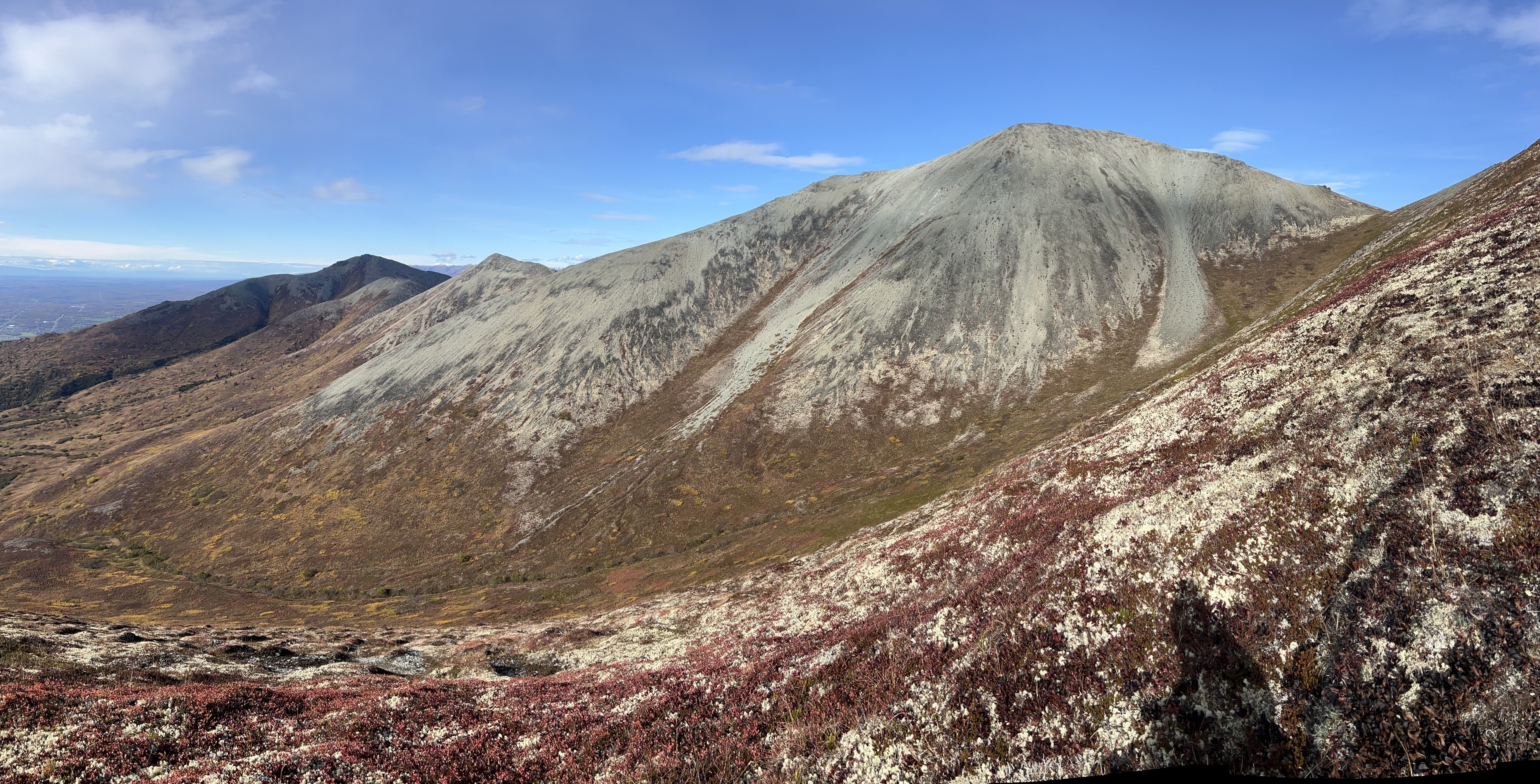
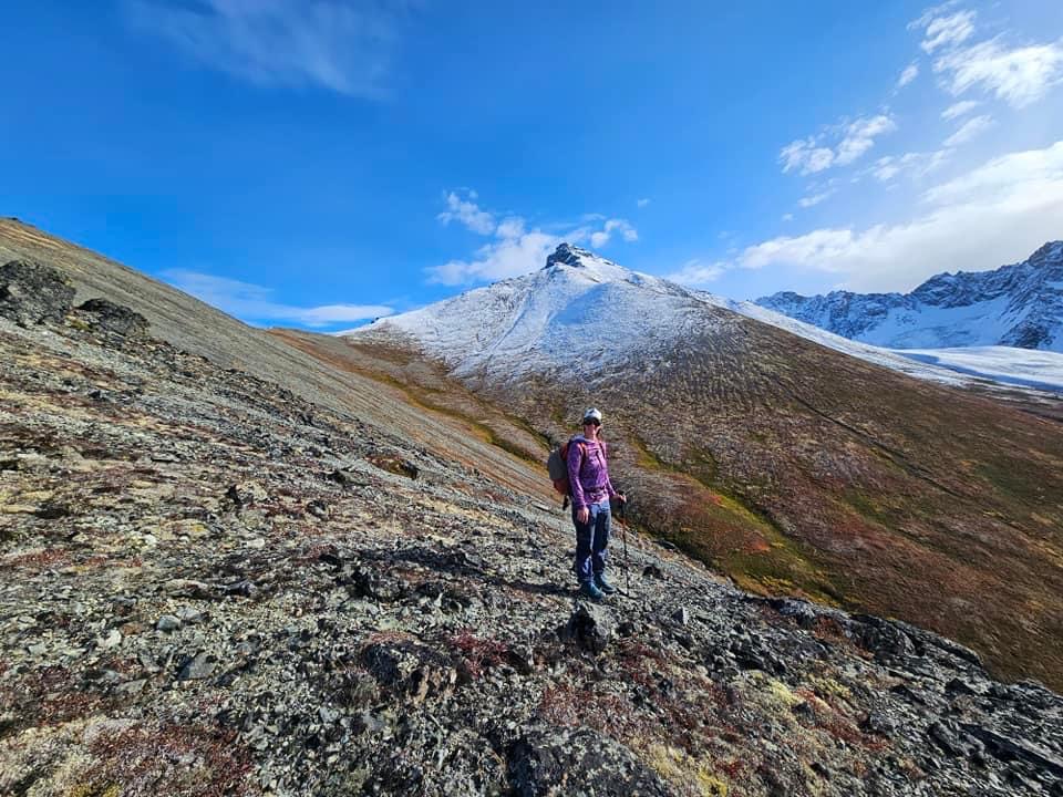
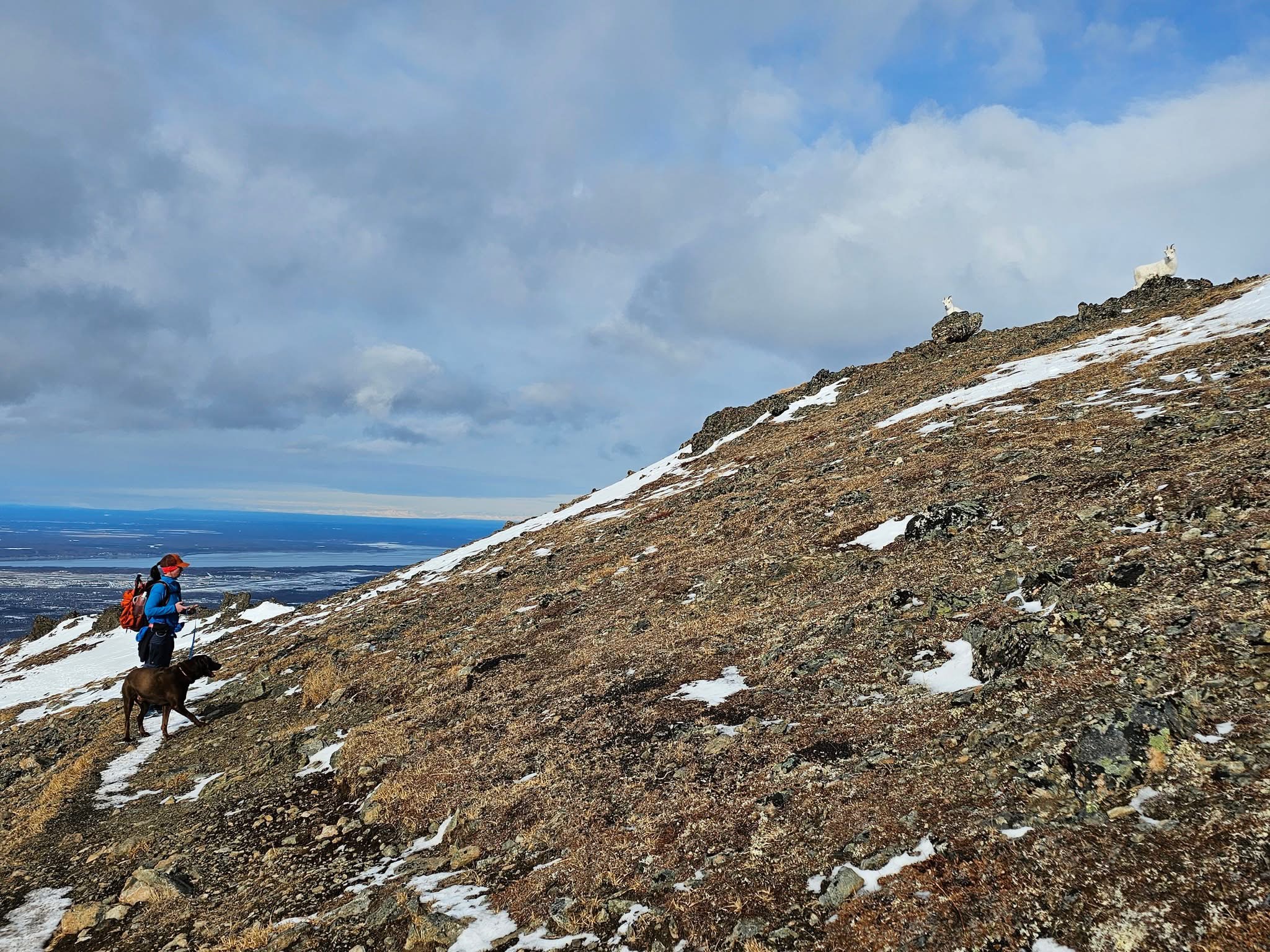
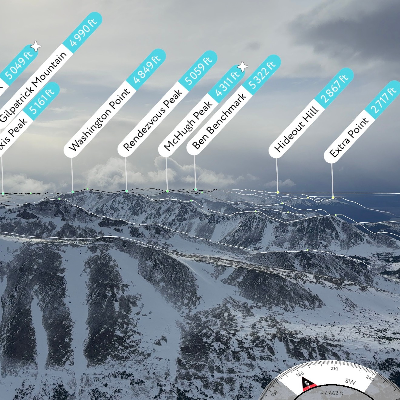
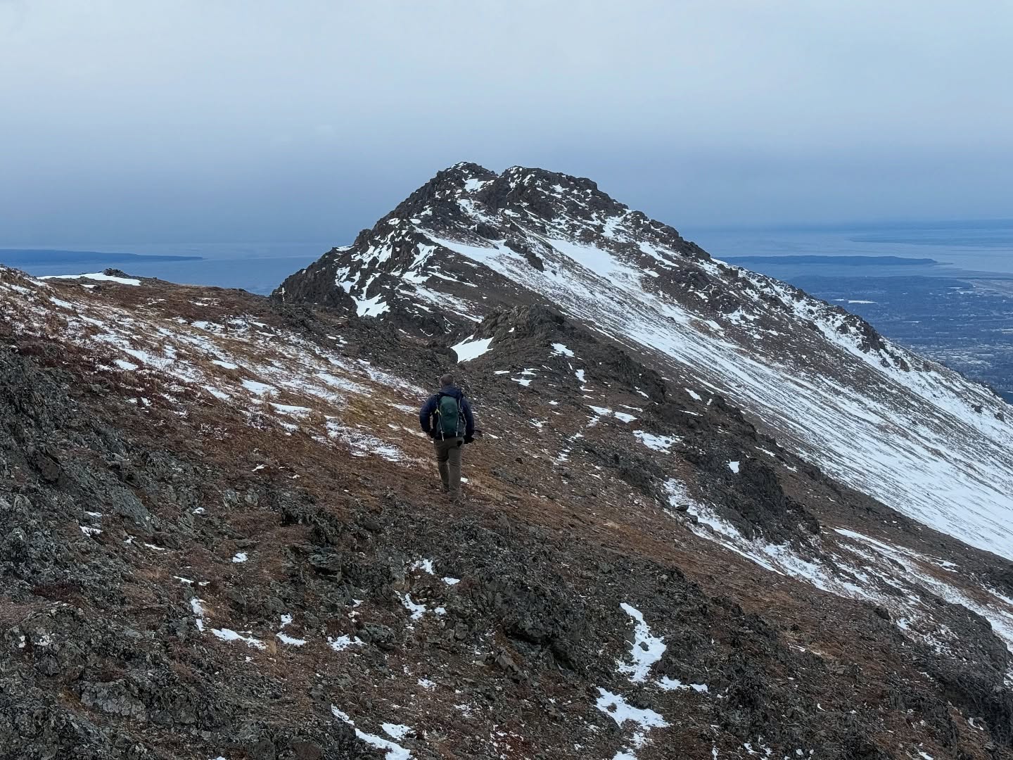
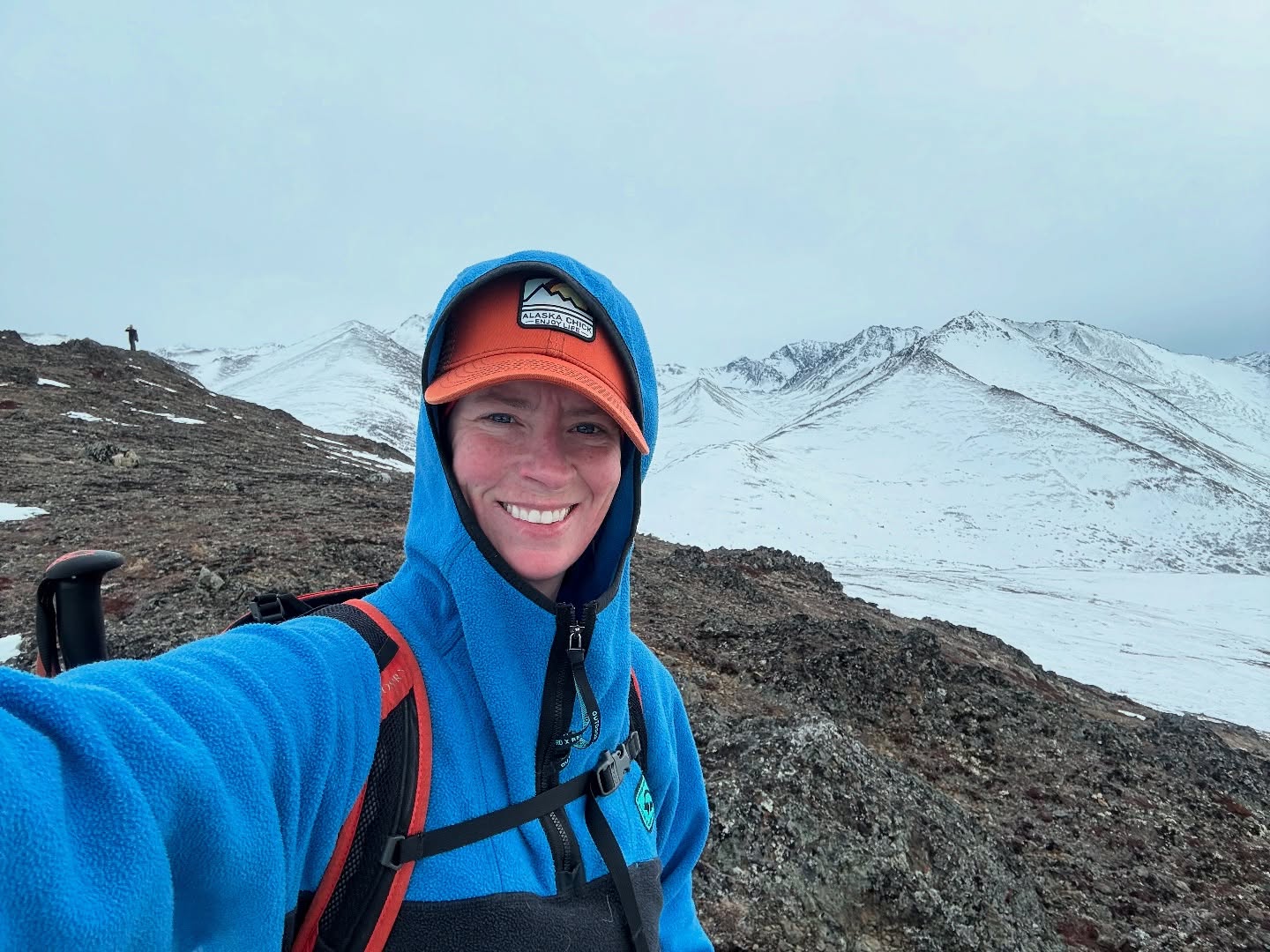
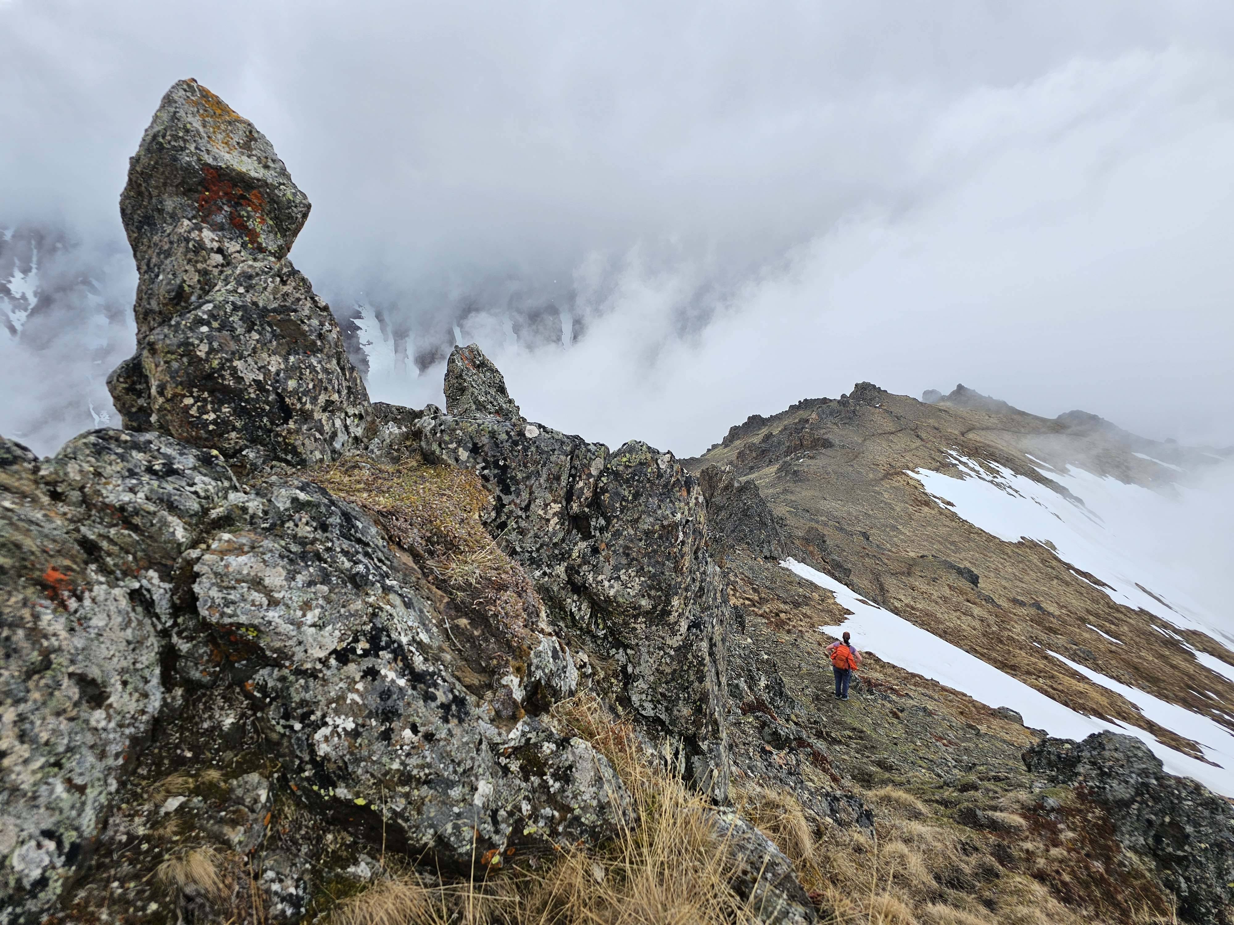
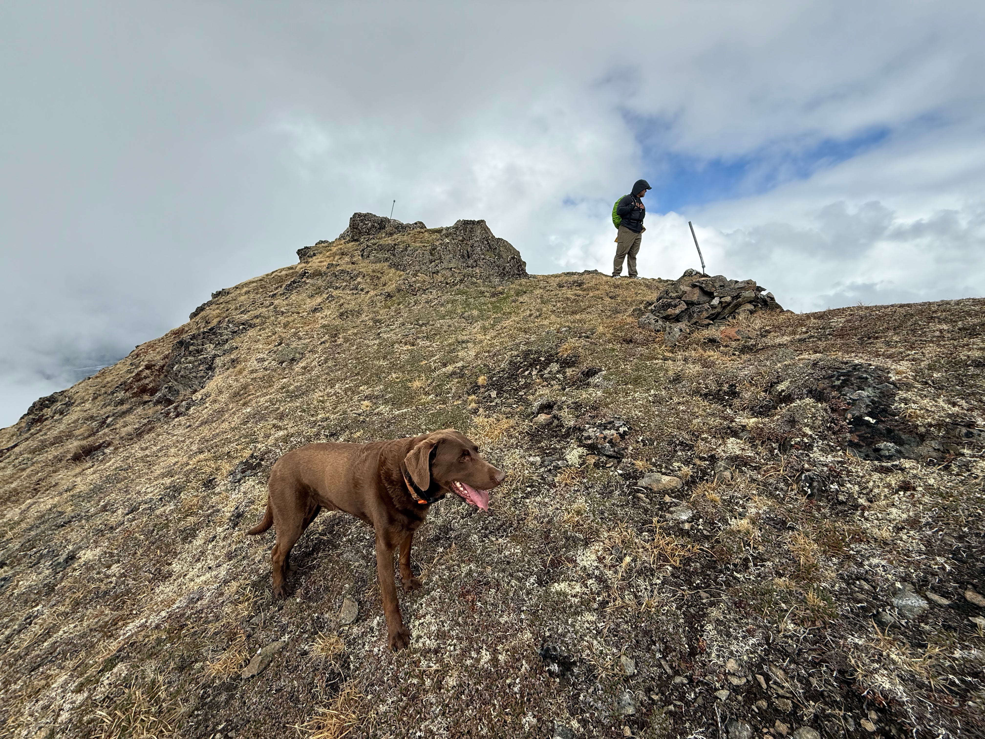
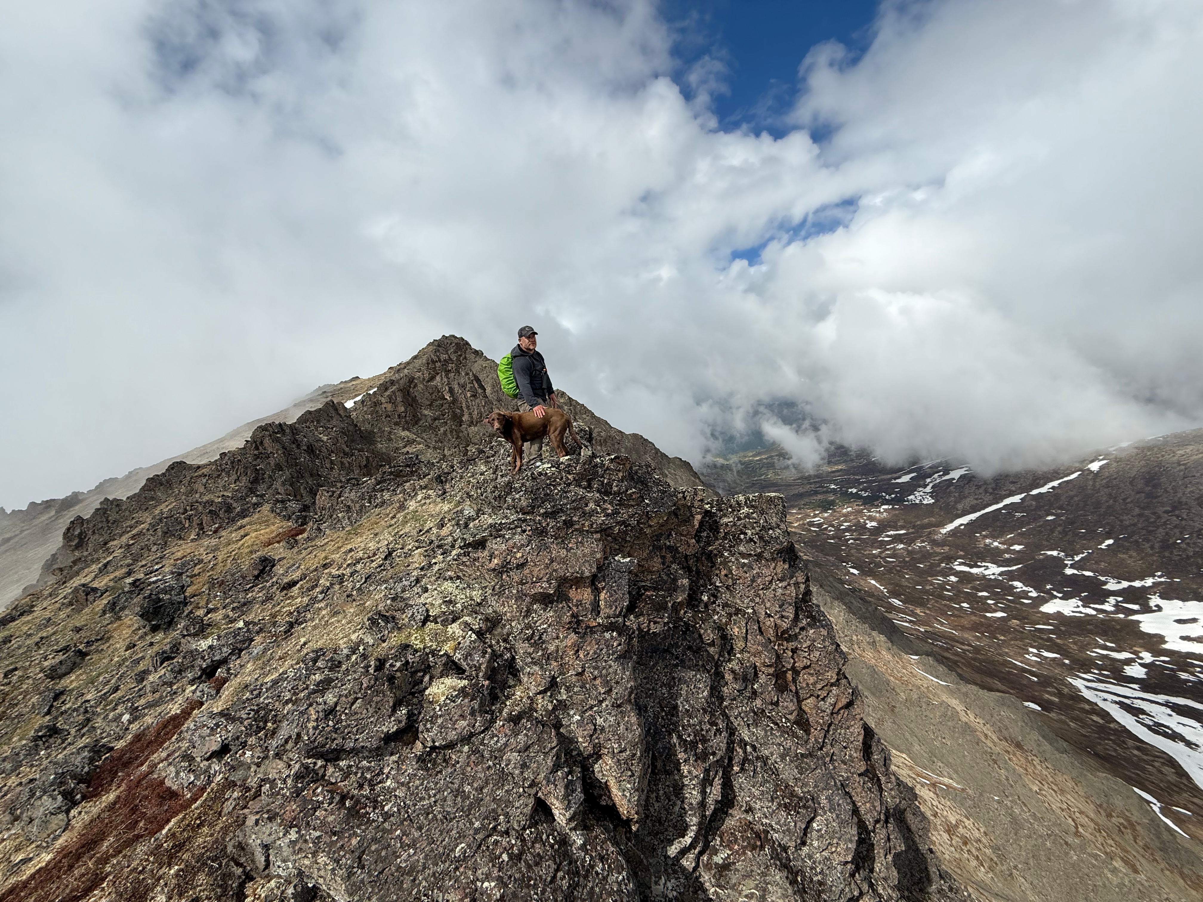
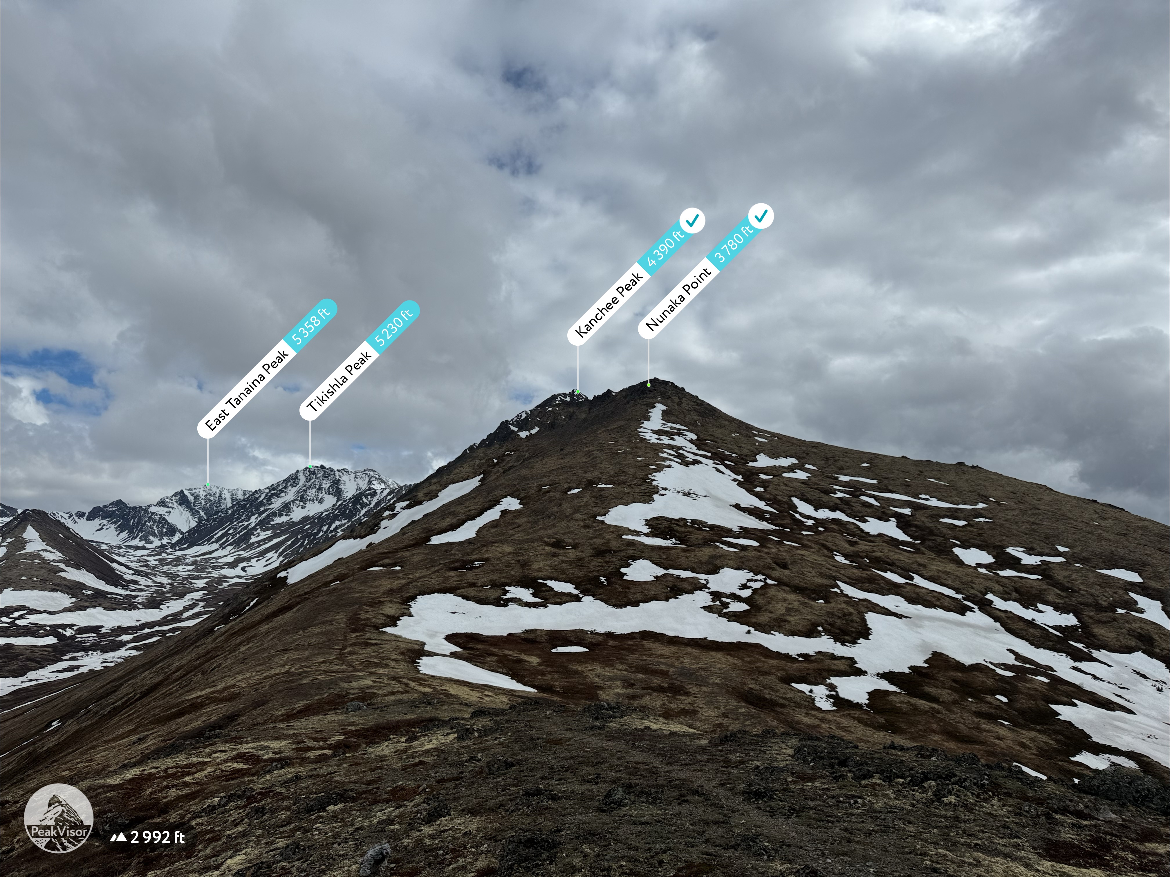
Kanchee’s grassy slopes made for an easy climb, and so far, we hadn’t faced any real challenges along the ridge. As the sky continued to clear, we reached the summit of our third peak of the day. The views into Snow Hawk Valley were magnificent—Temptation, Tikishla, and Knoya were now fully visible. Our crappy moods were finally cured. Although there were a couple of odd markers at the top, we didn’t find a summit register.
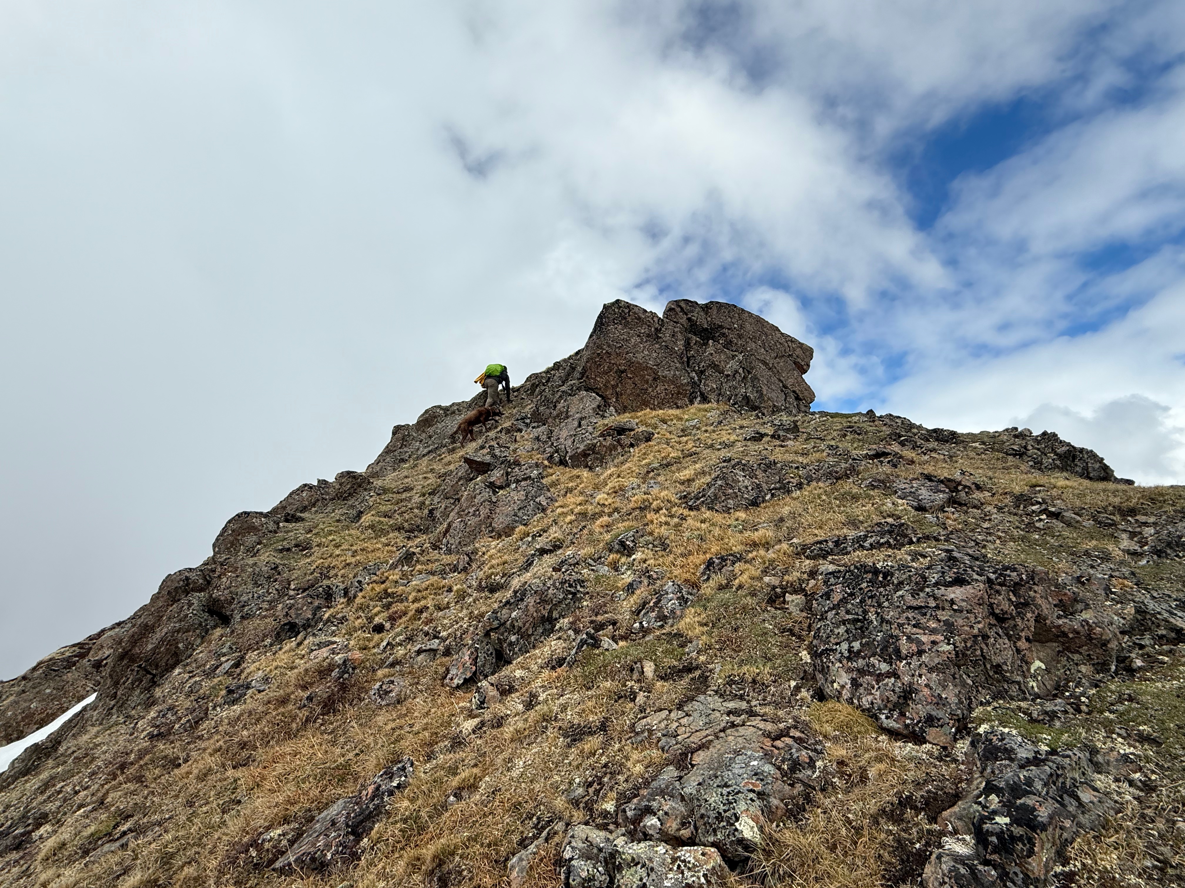
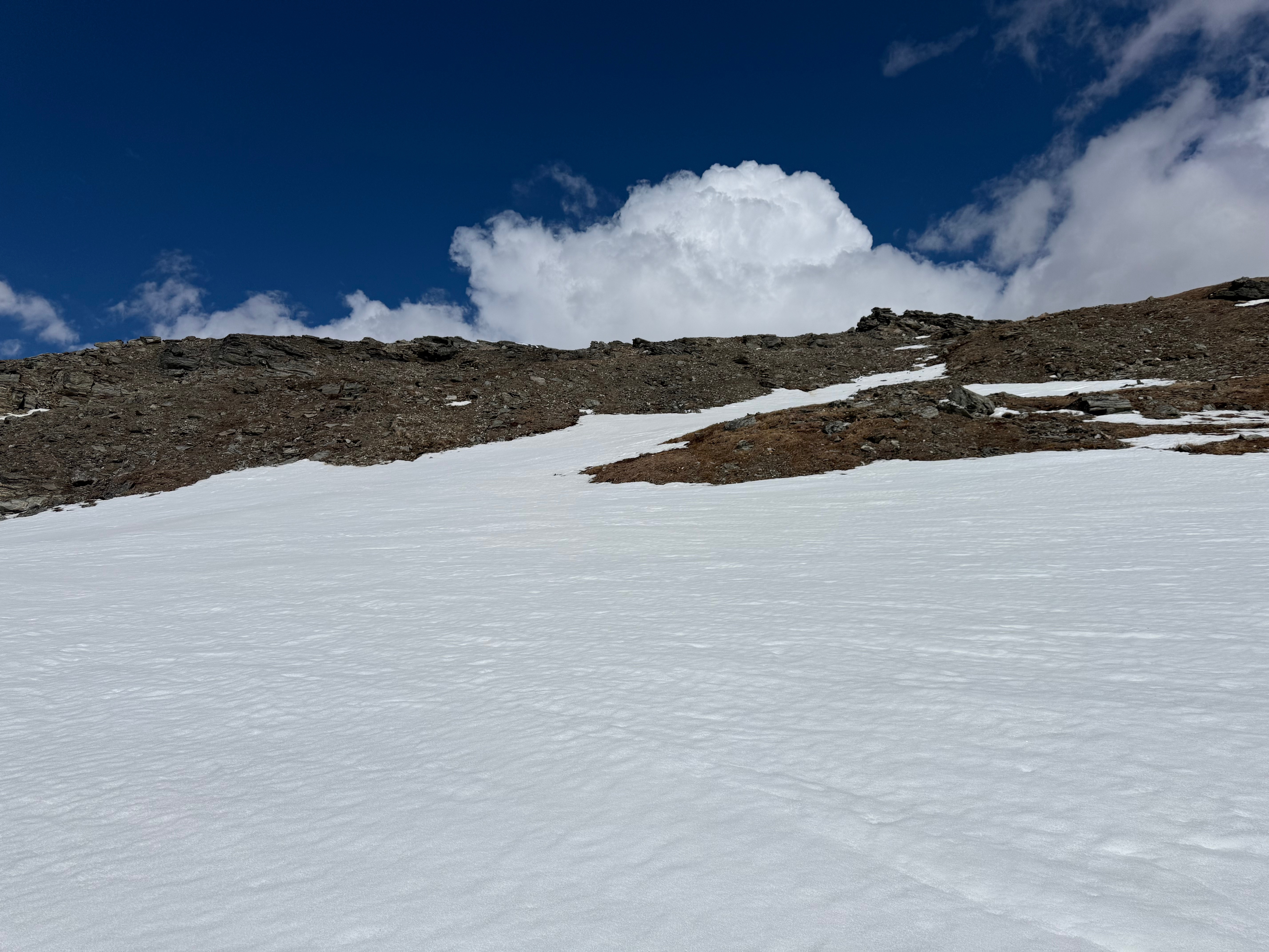
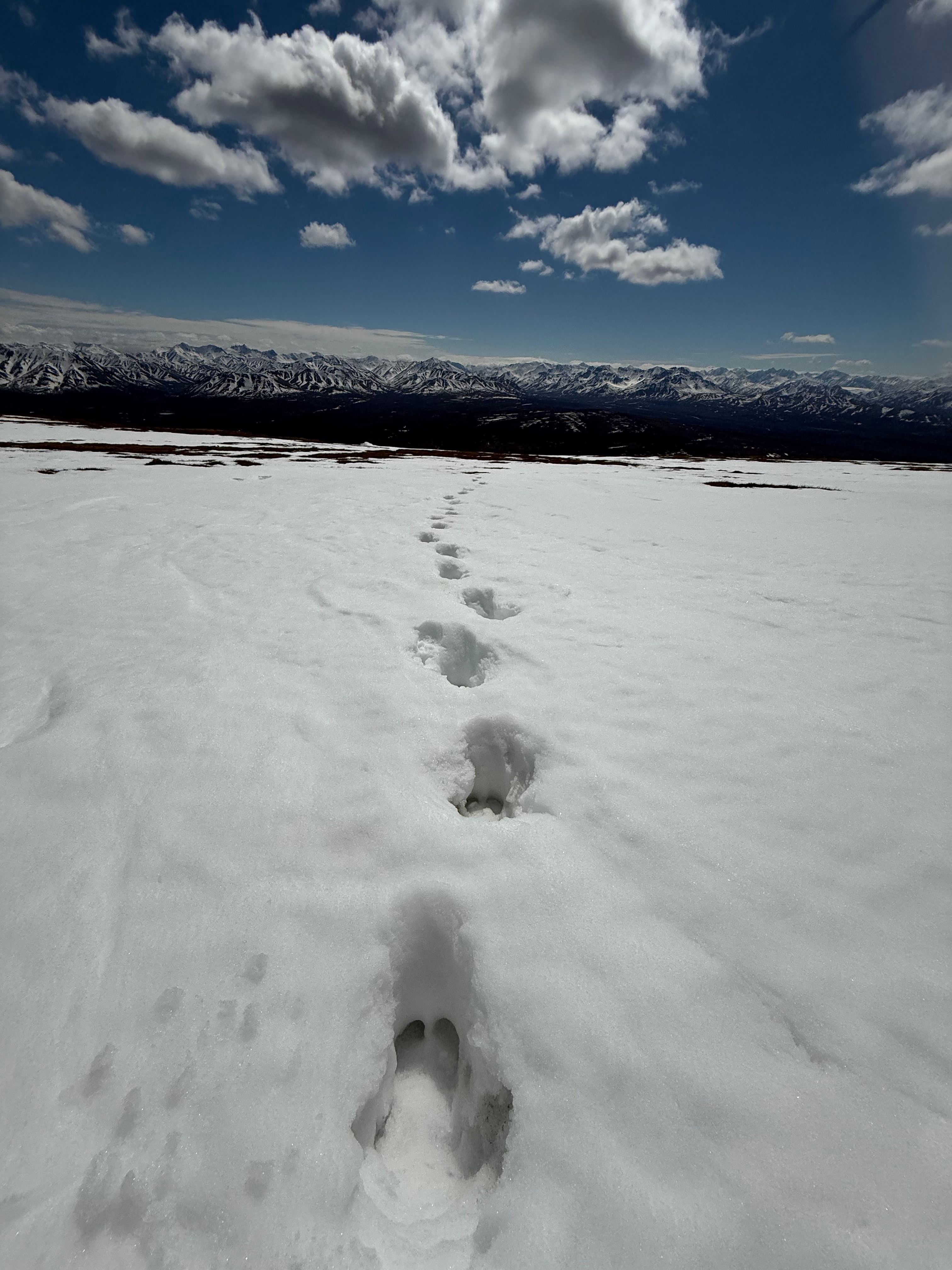
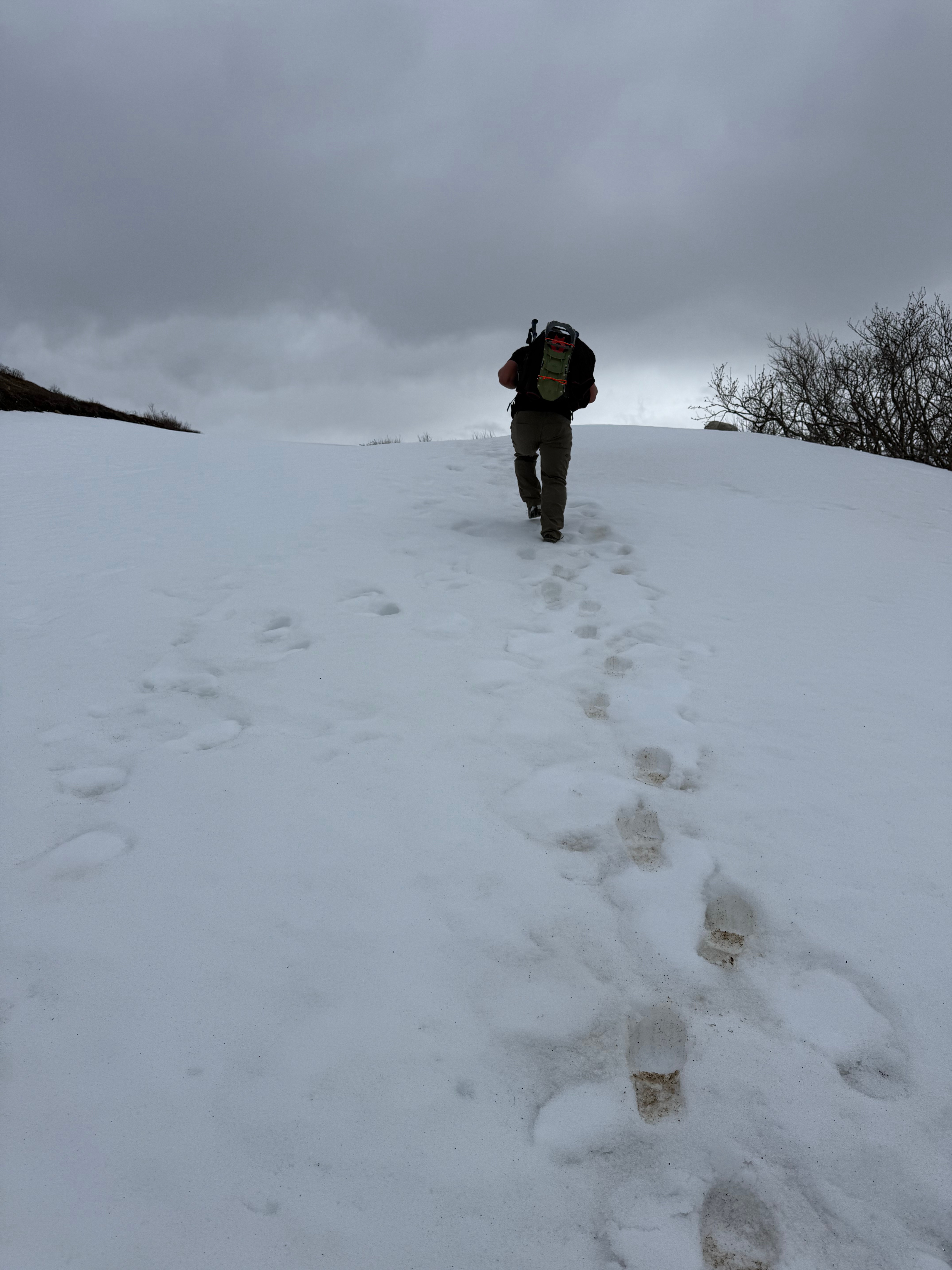
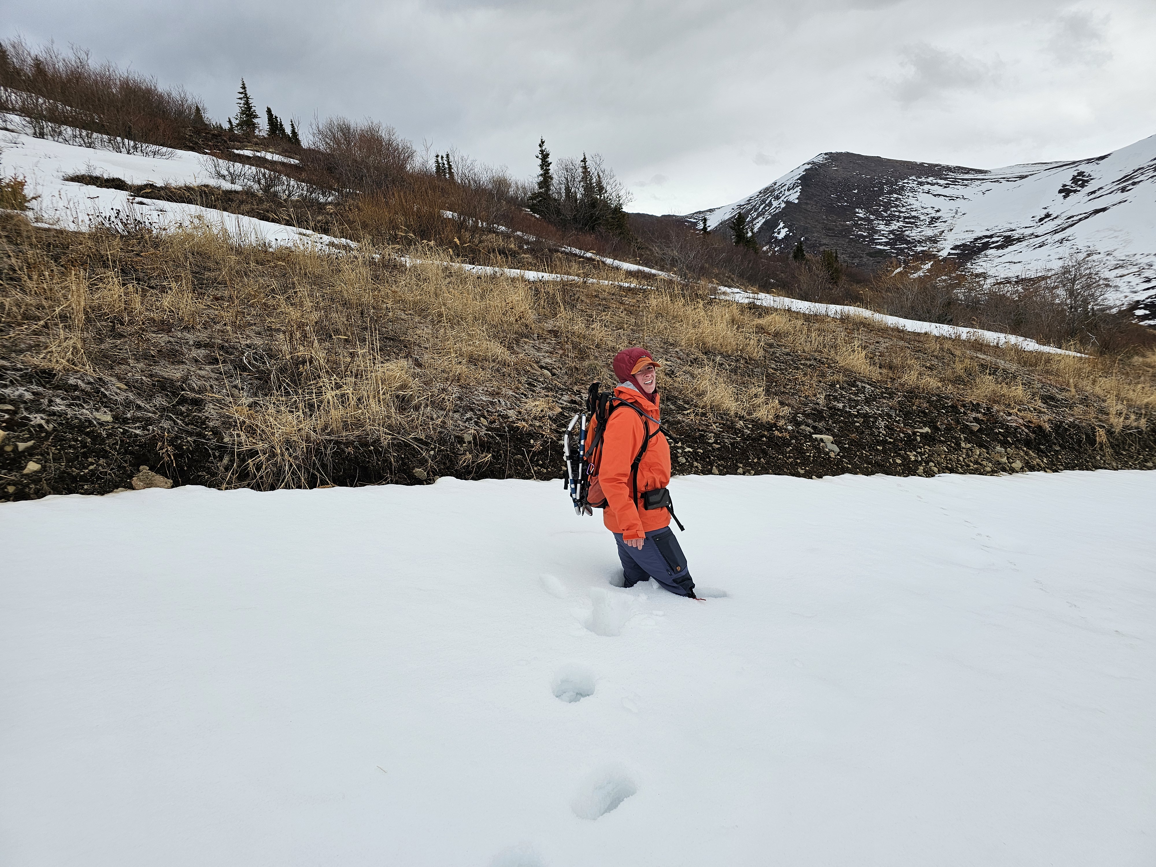
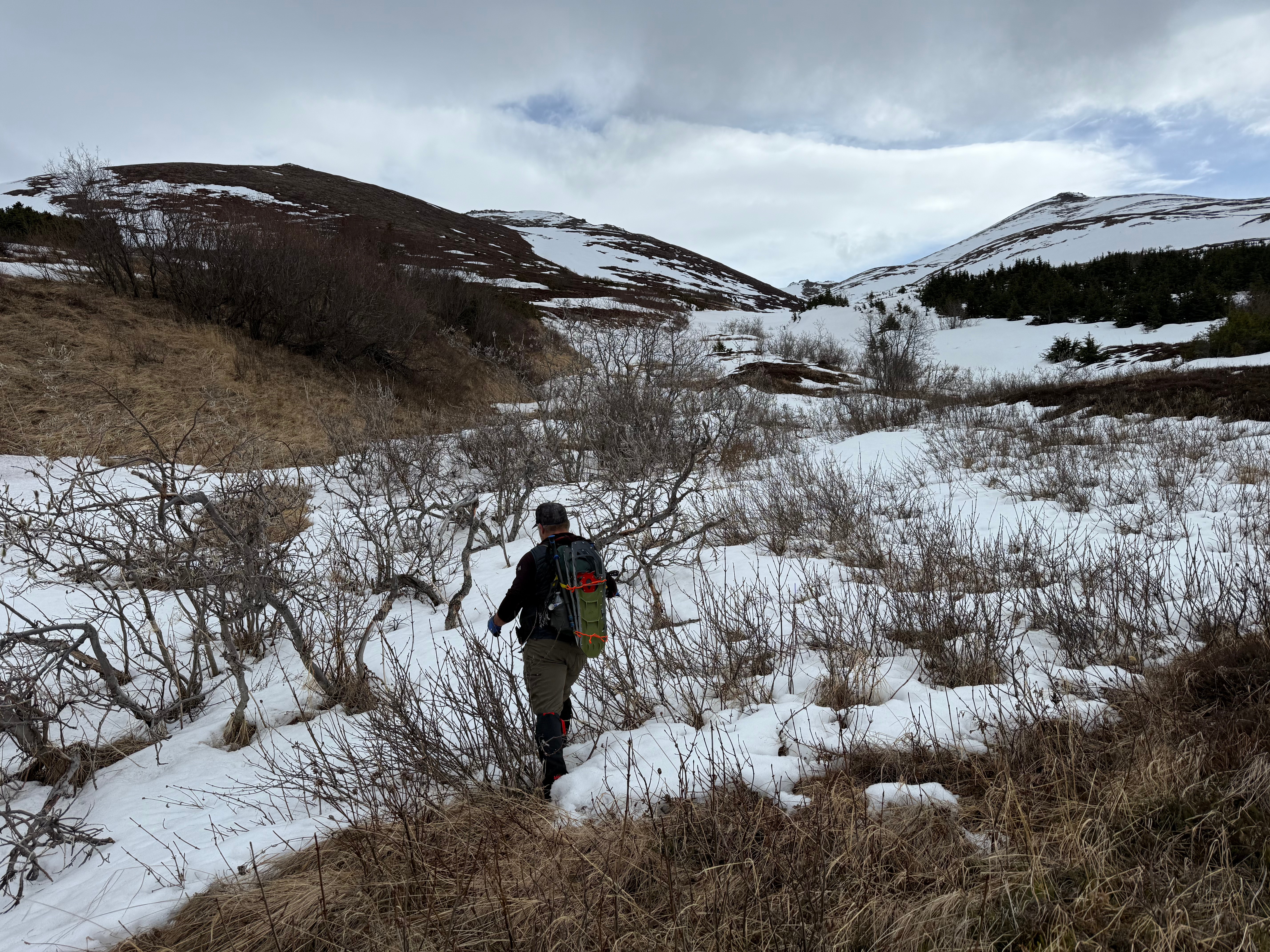
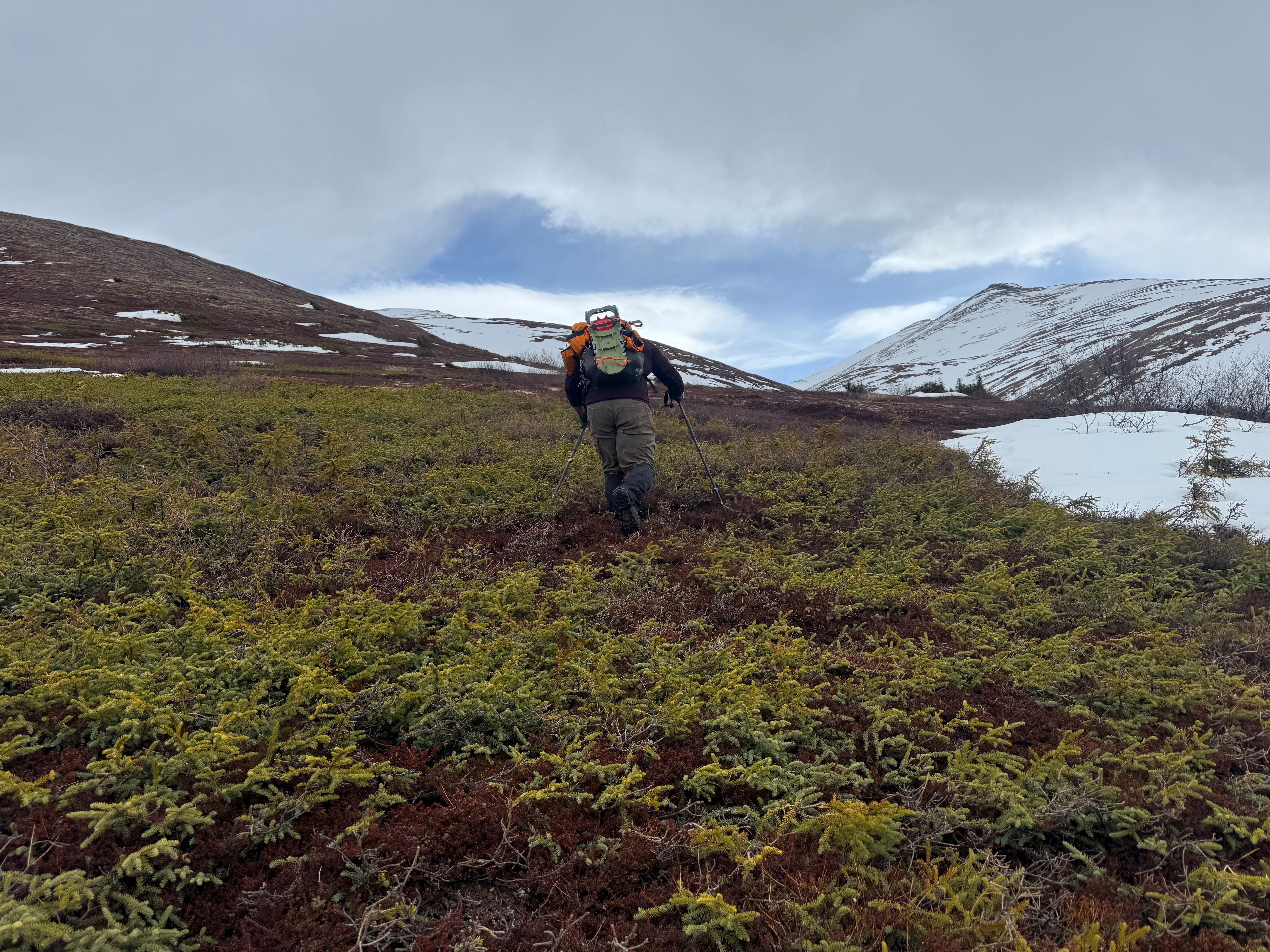
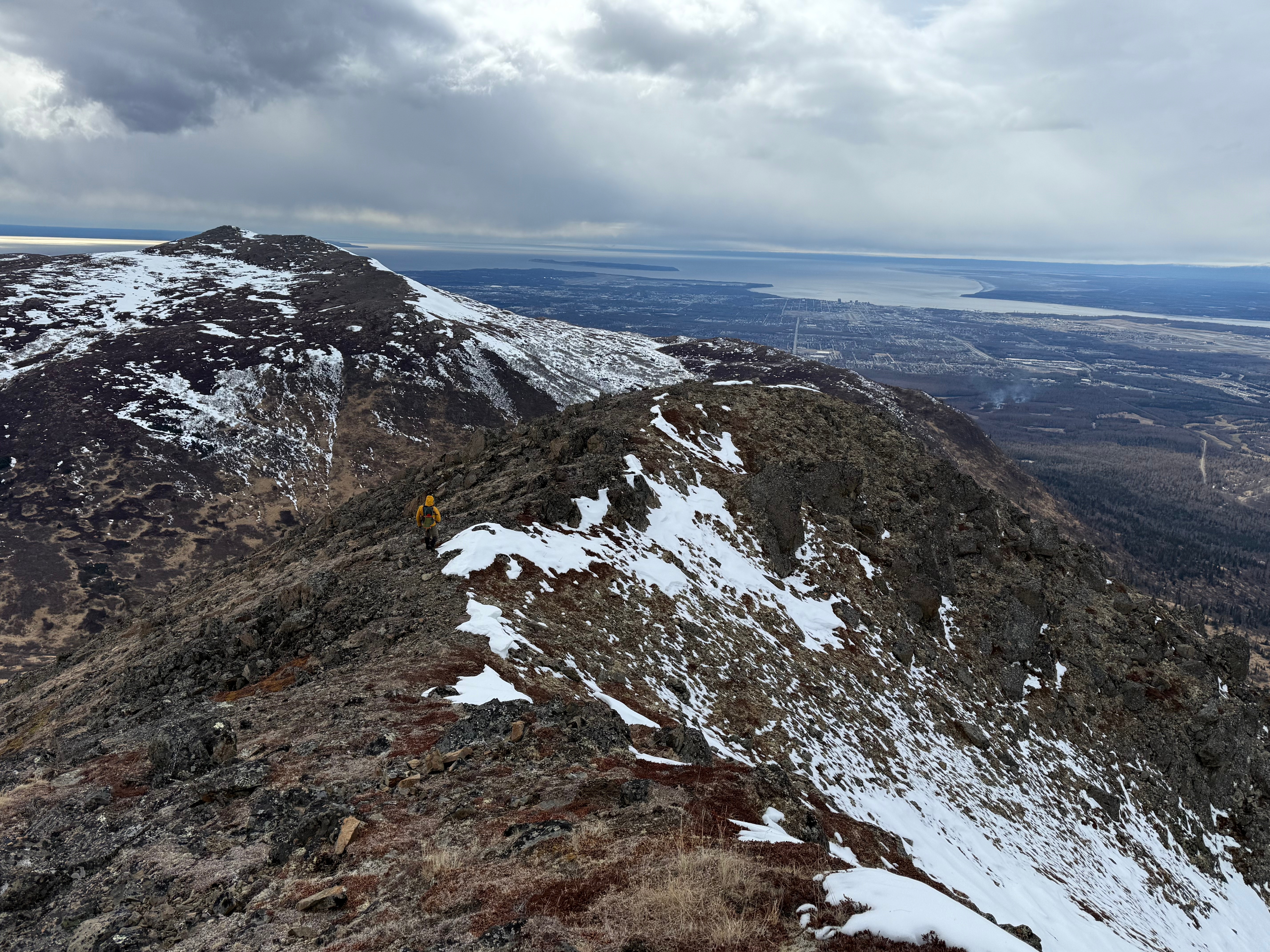
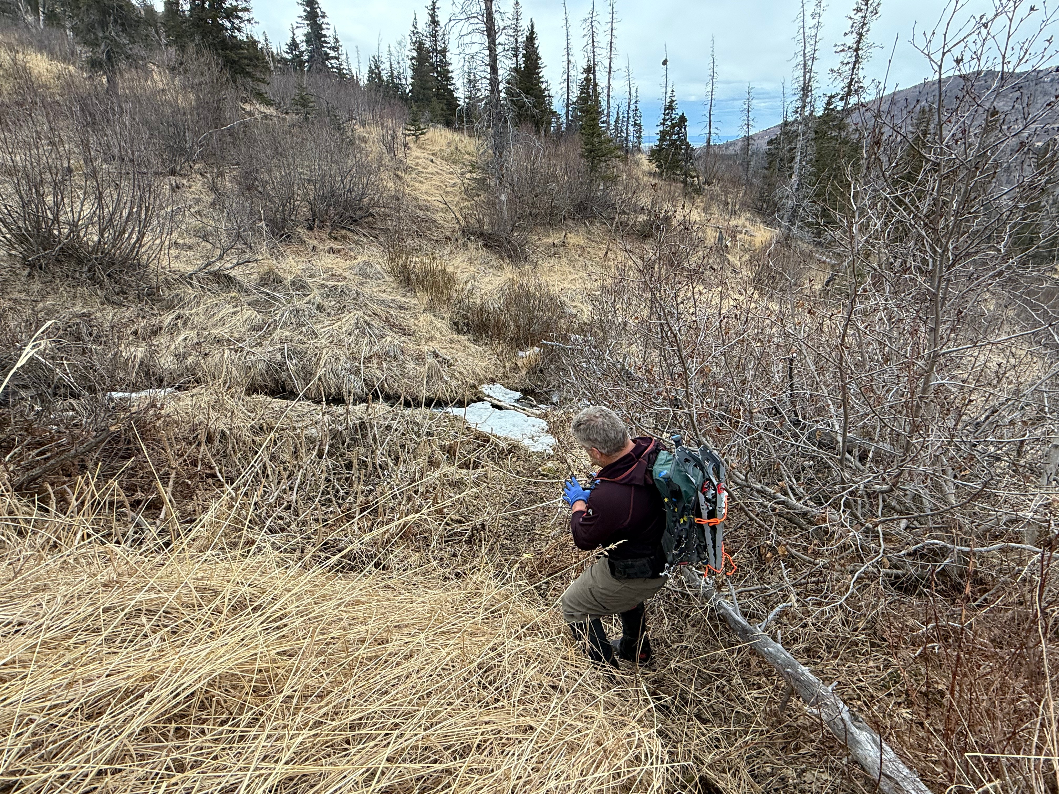
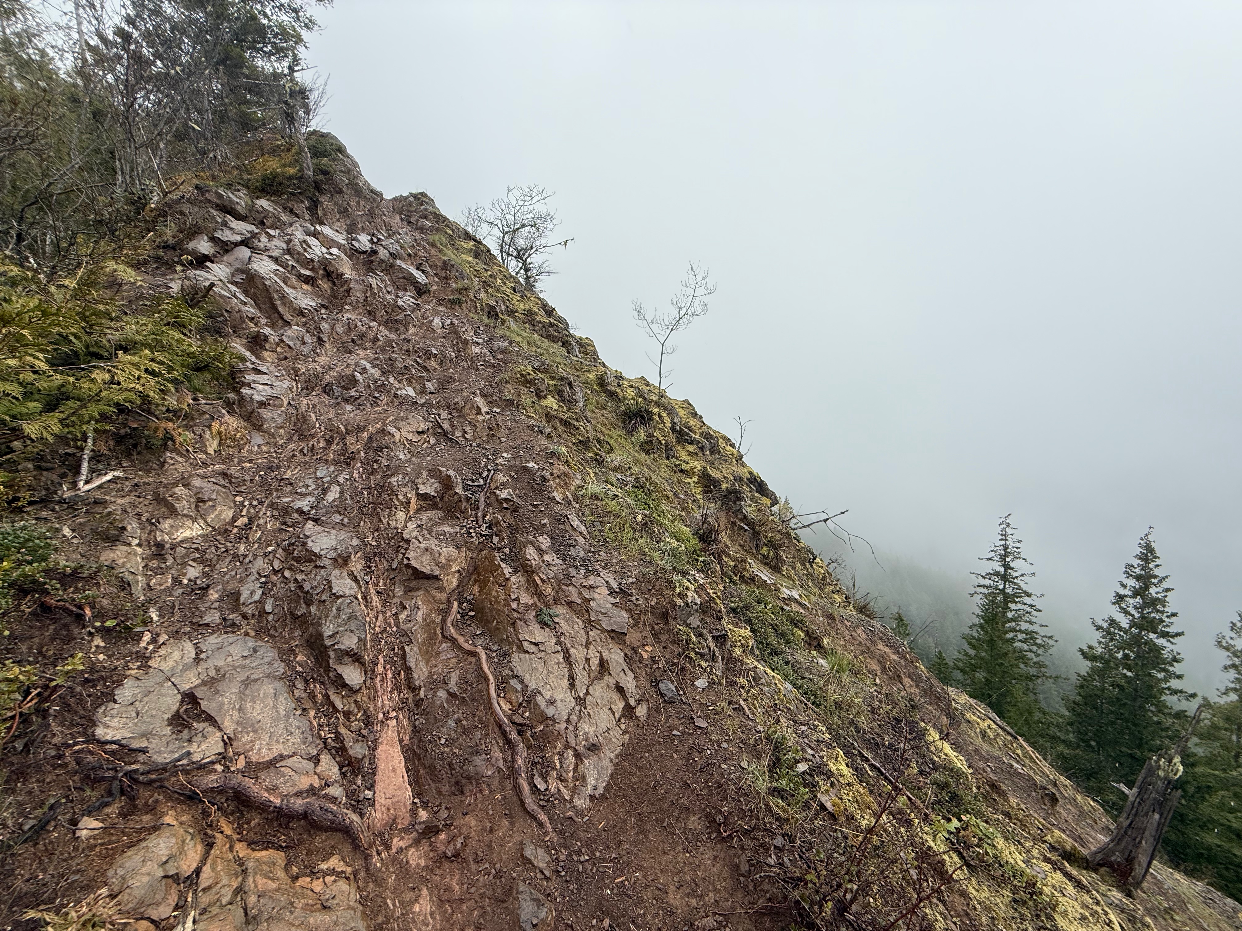
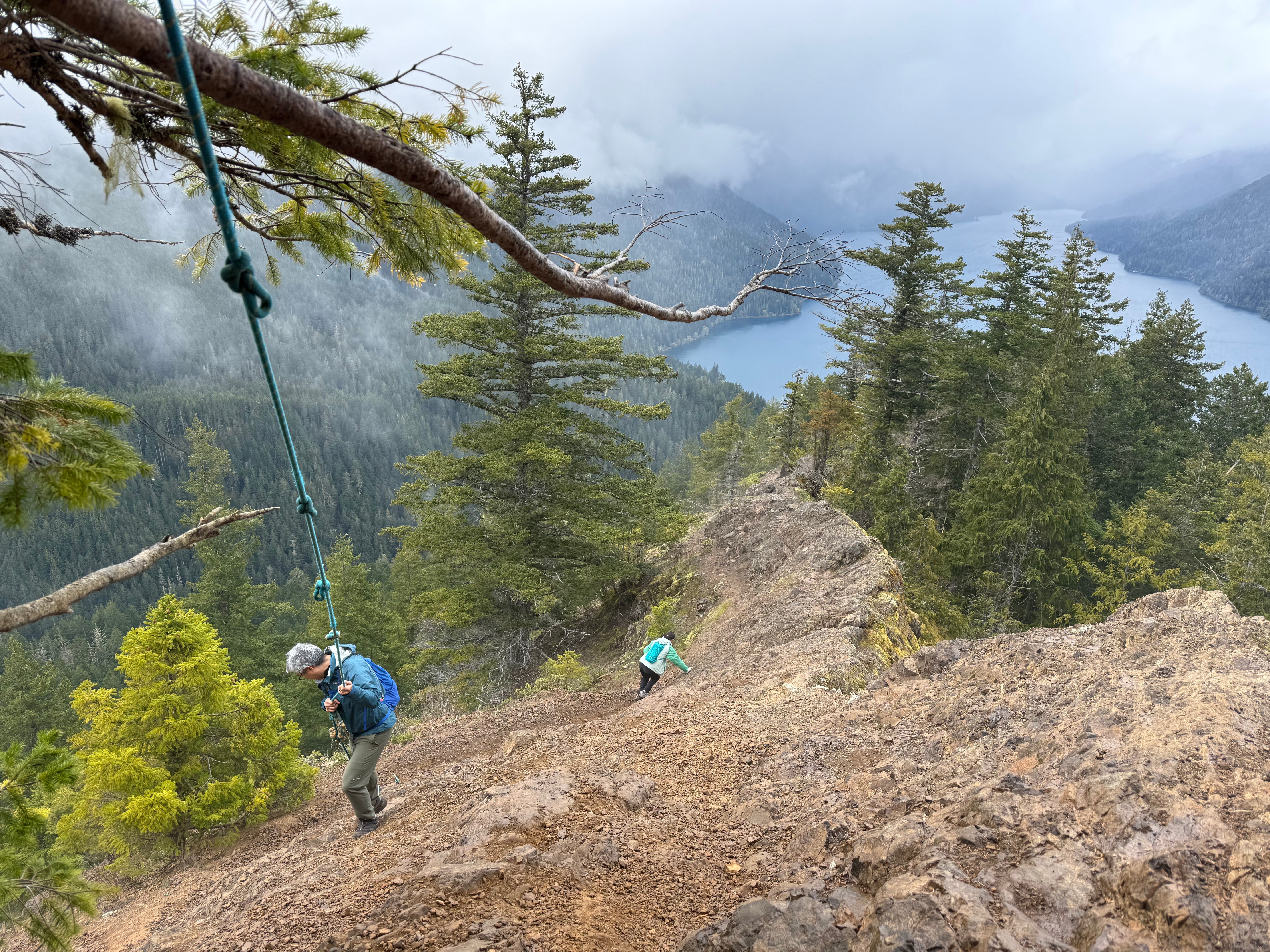
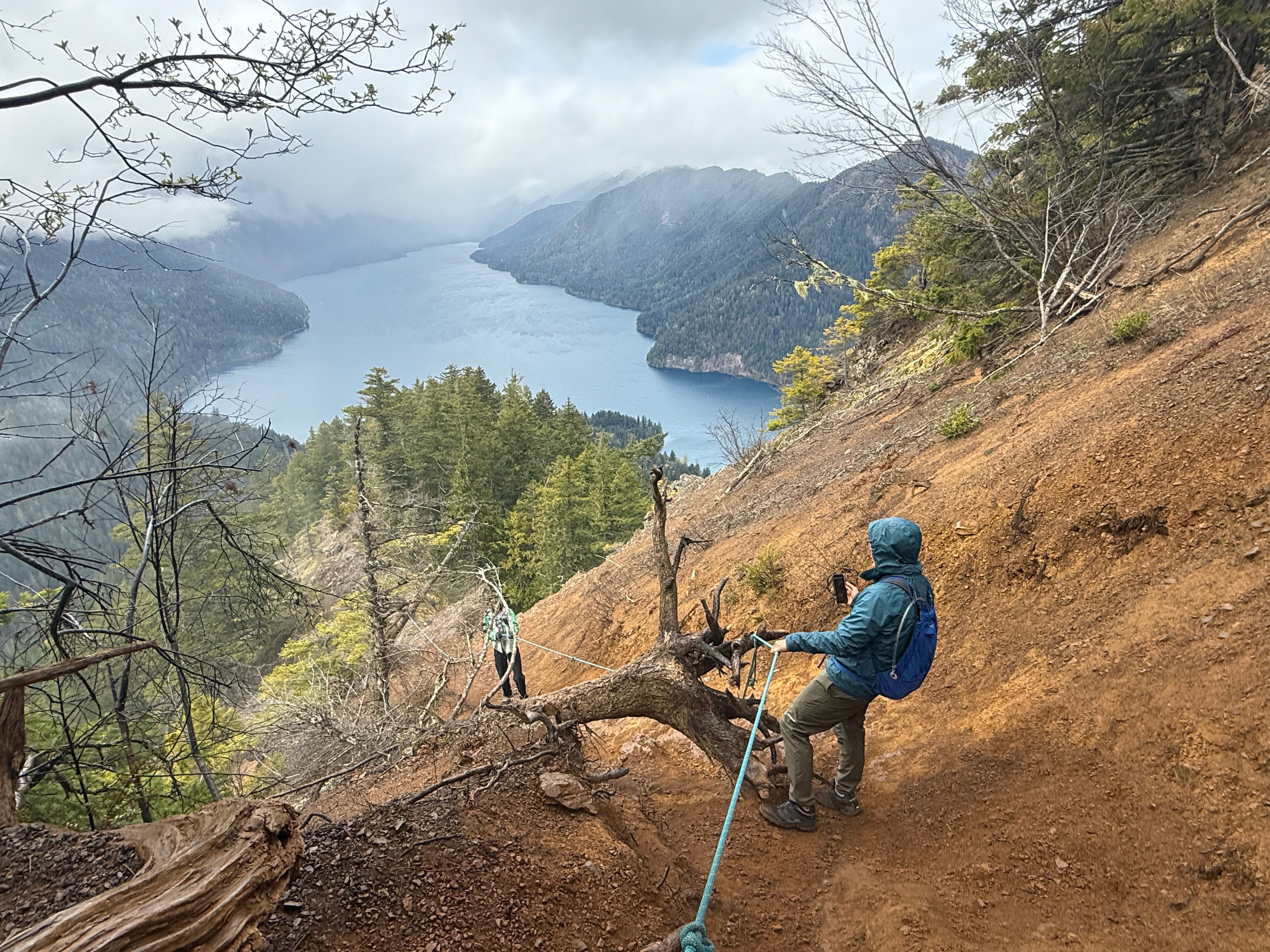
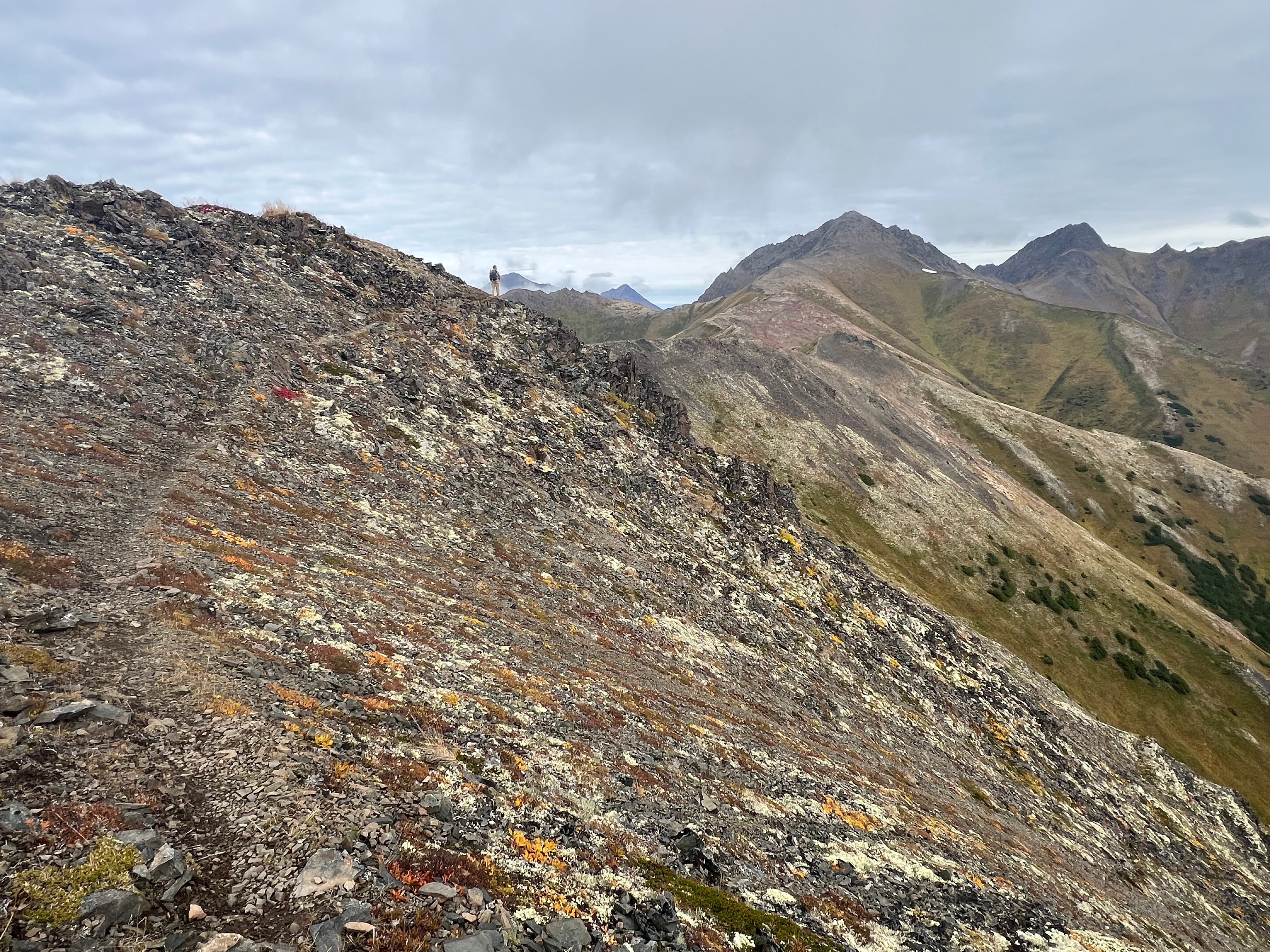
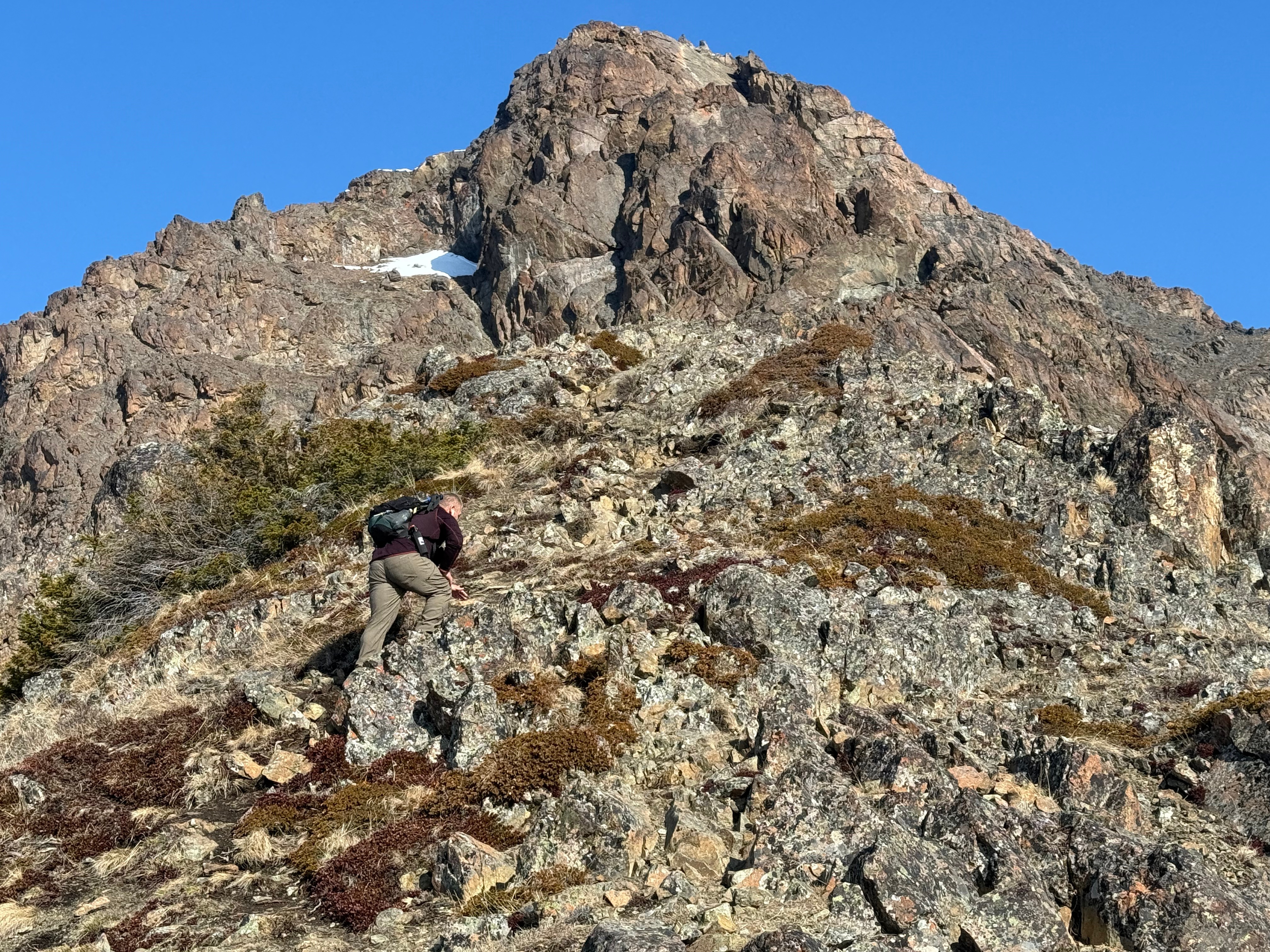
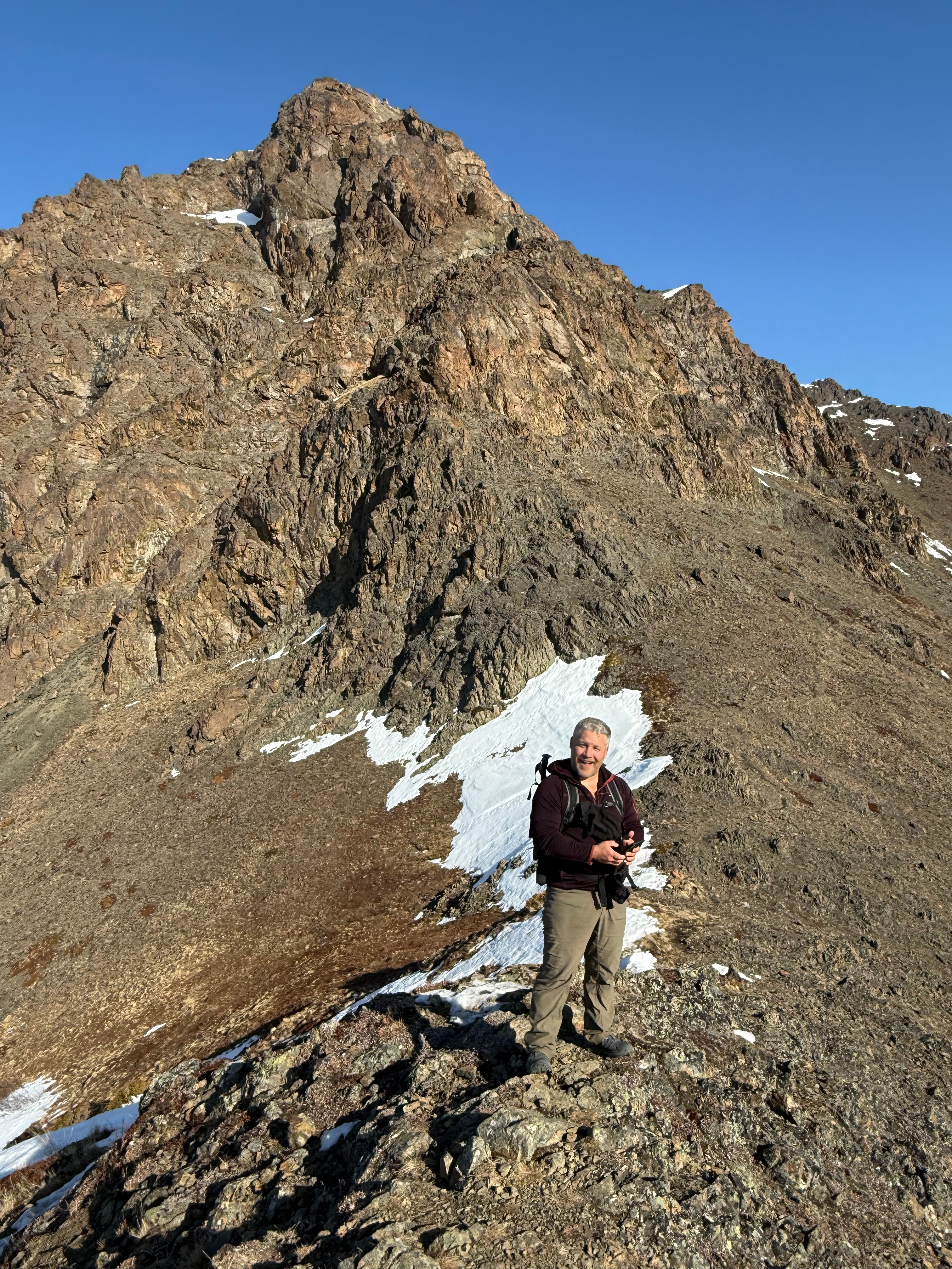
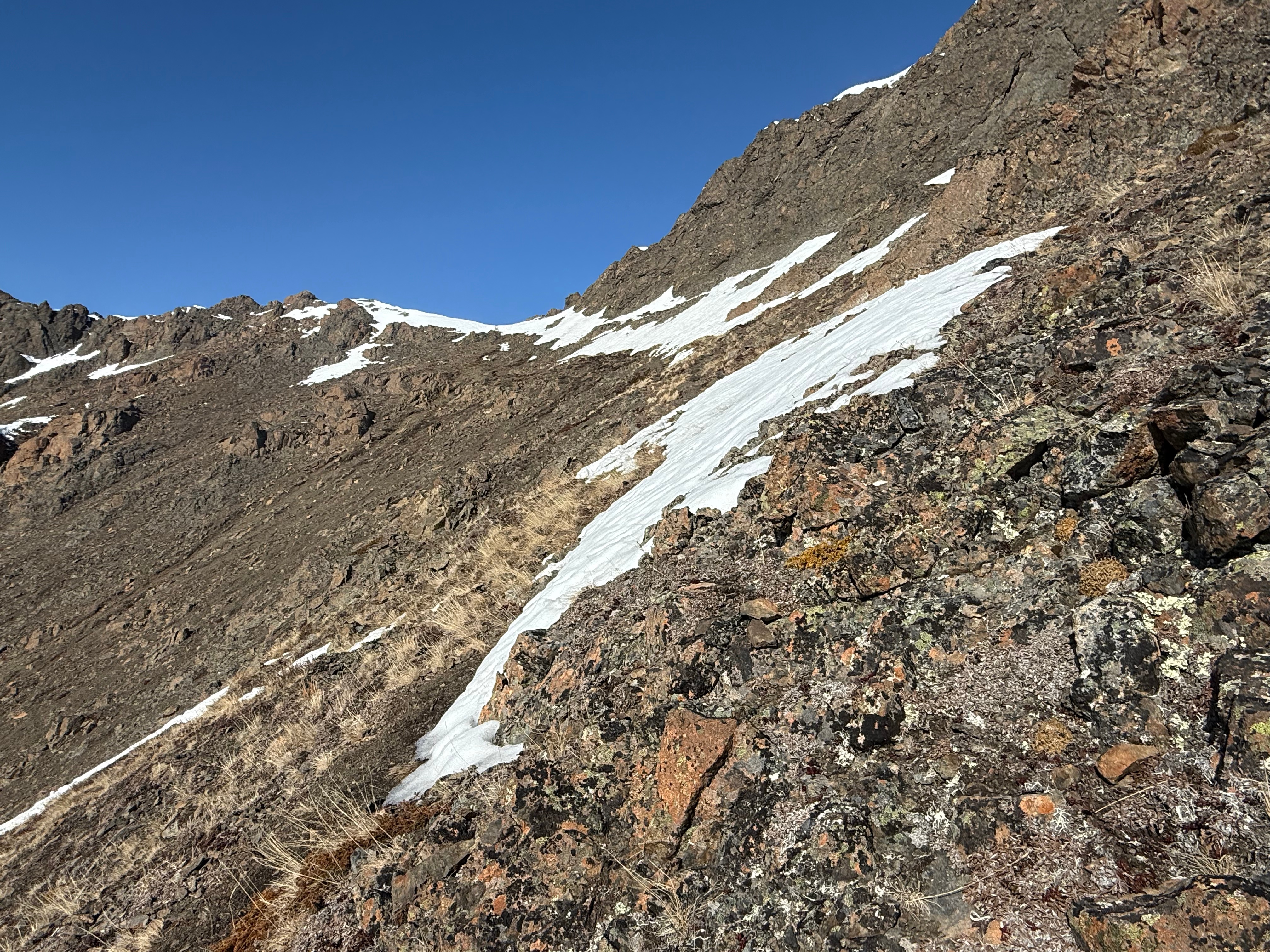
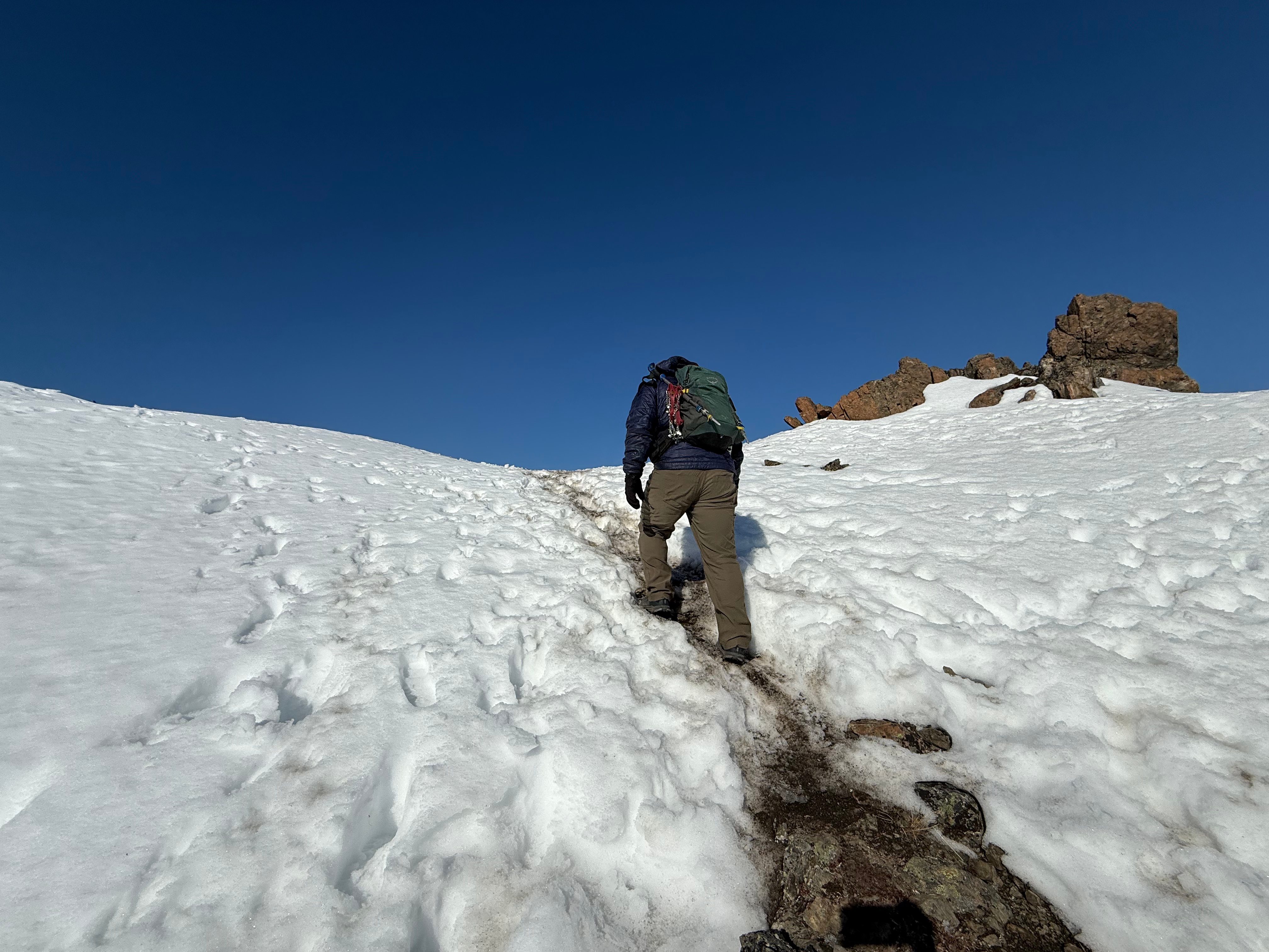
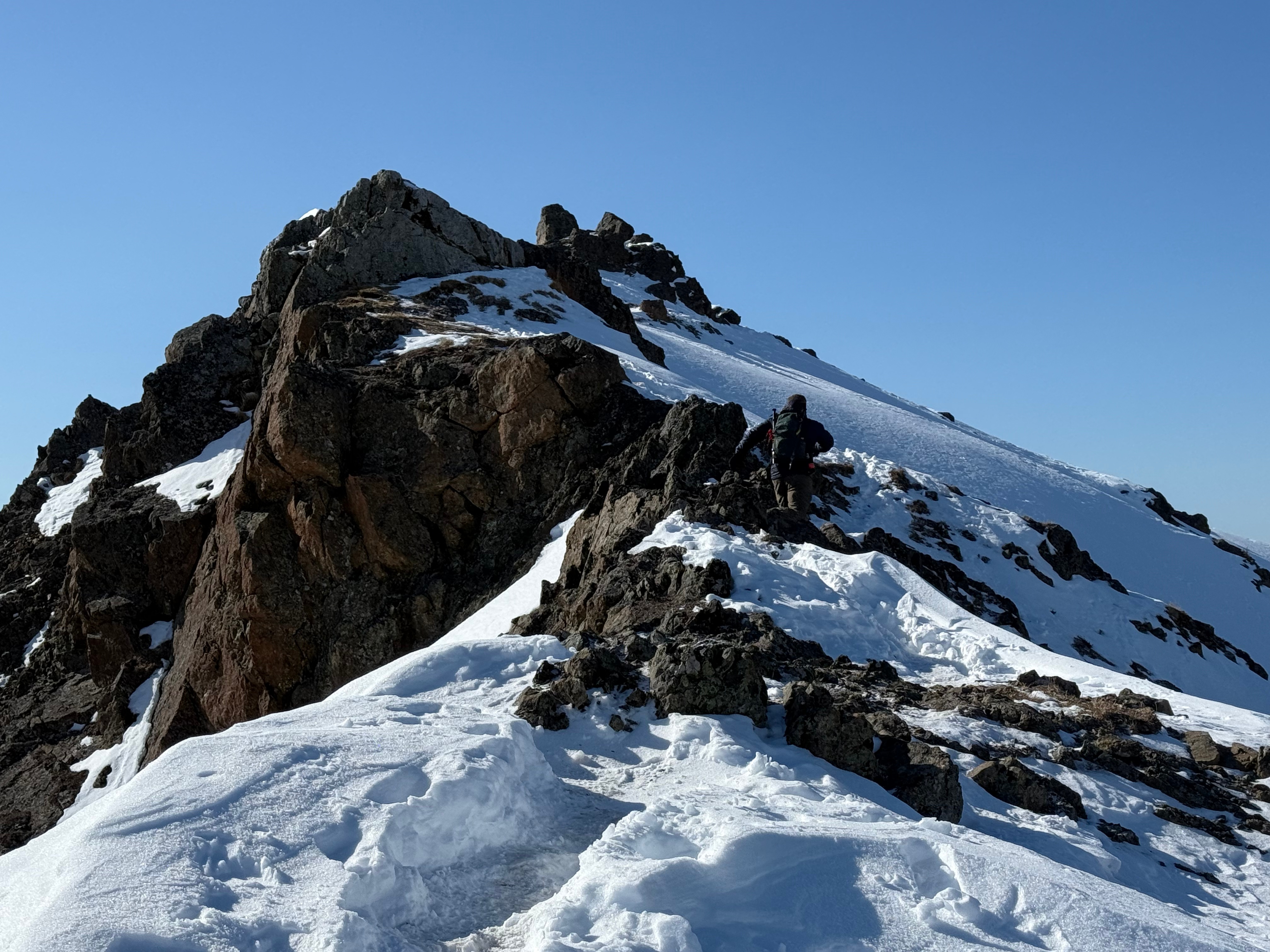
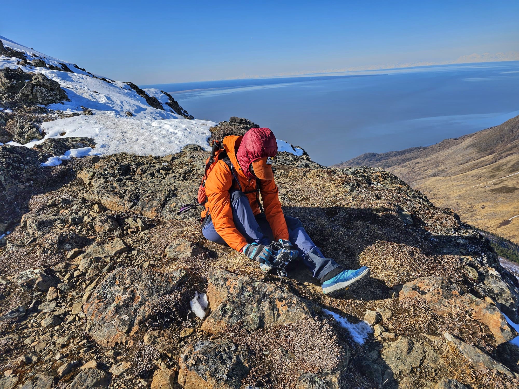
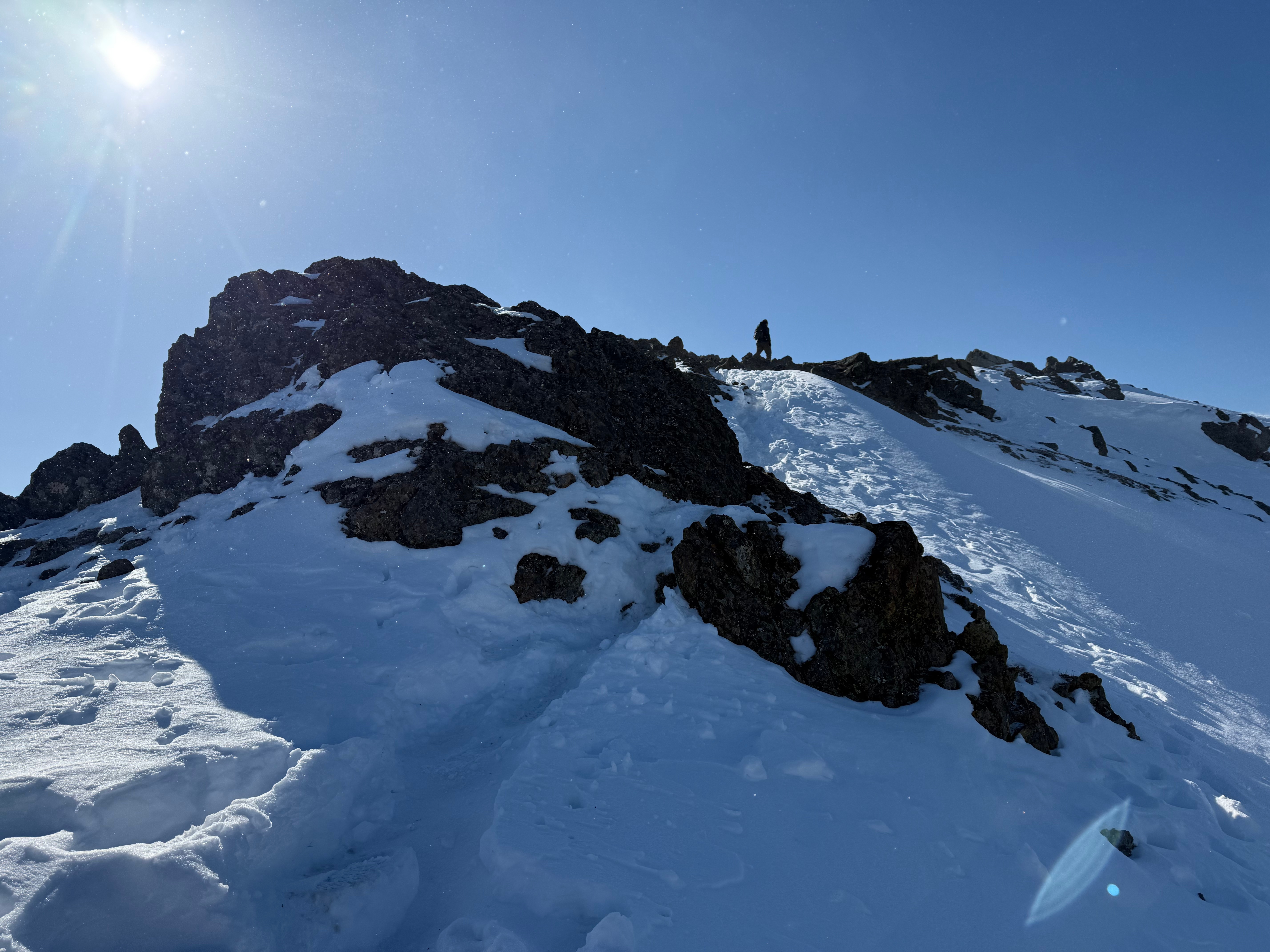
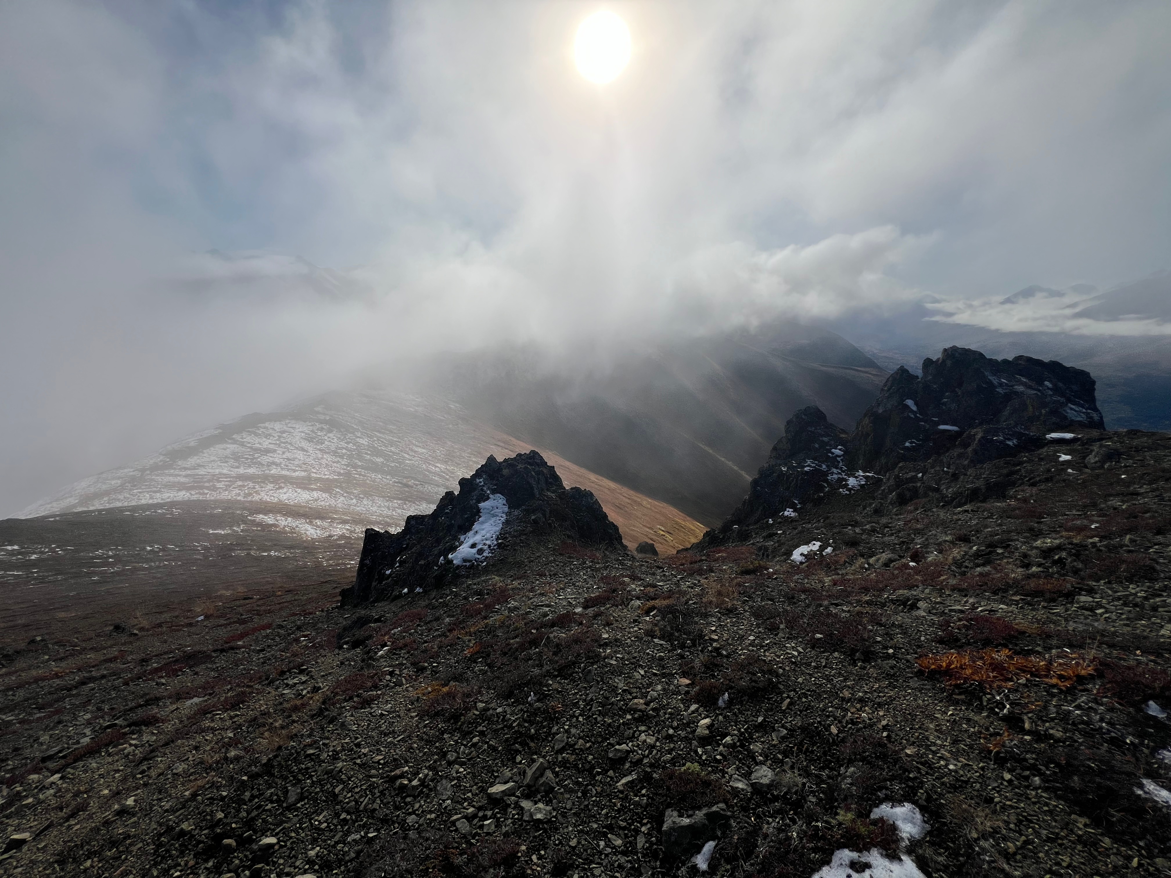
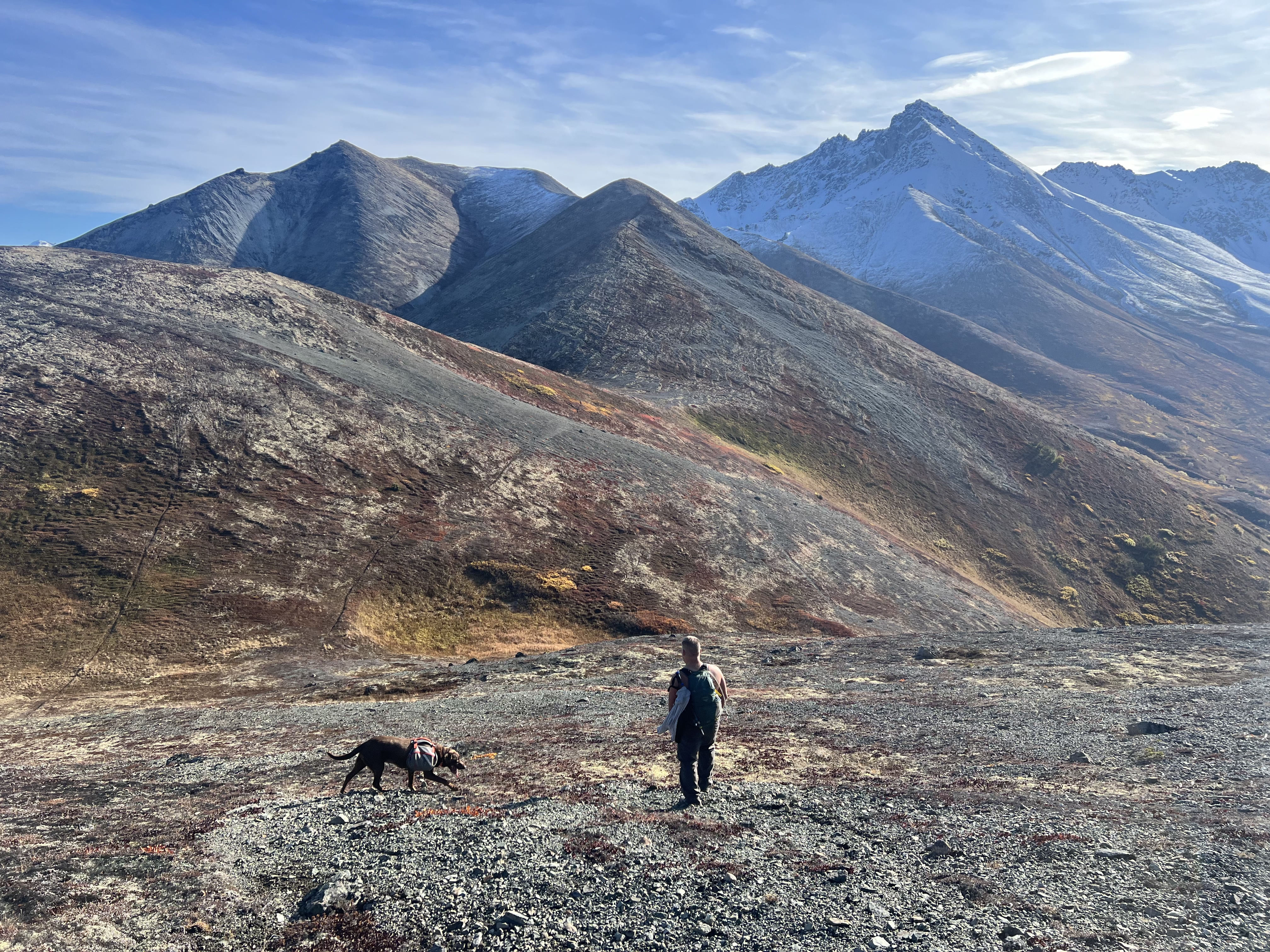
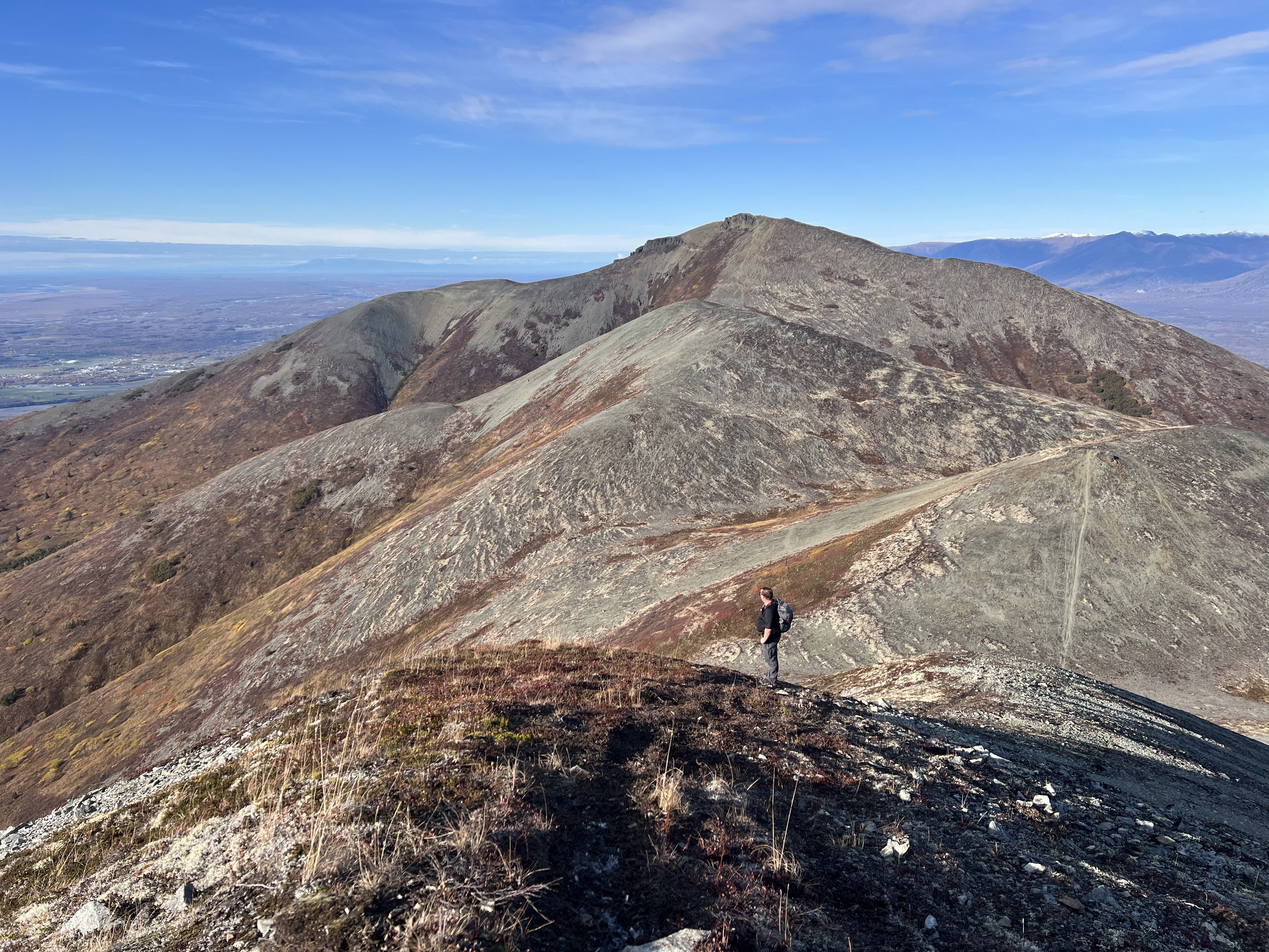
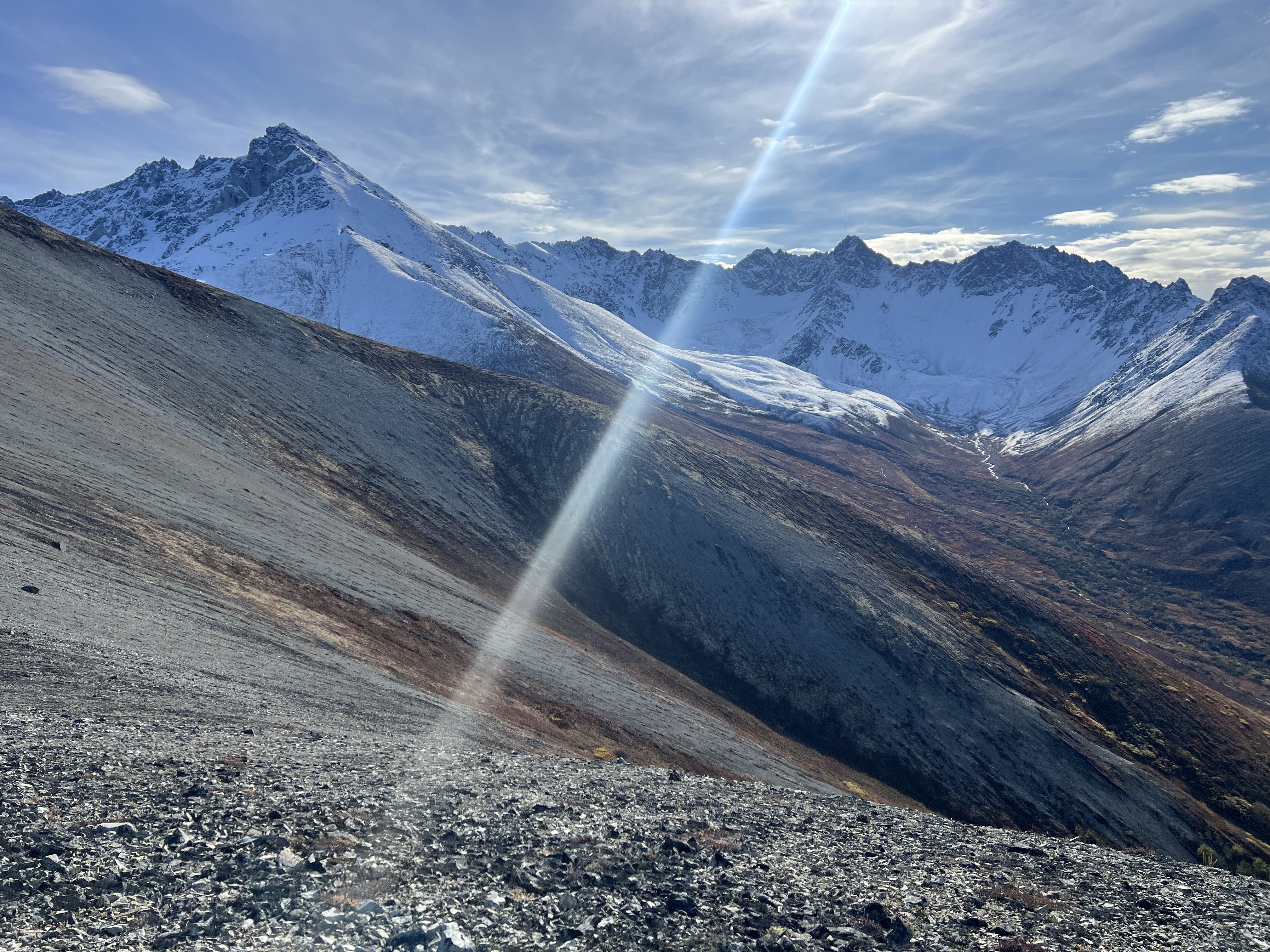
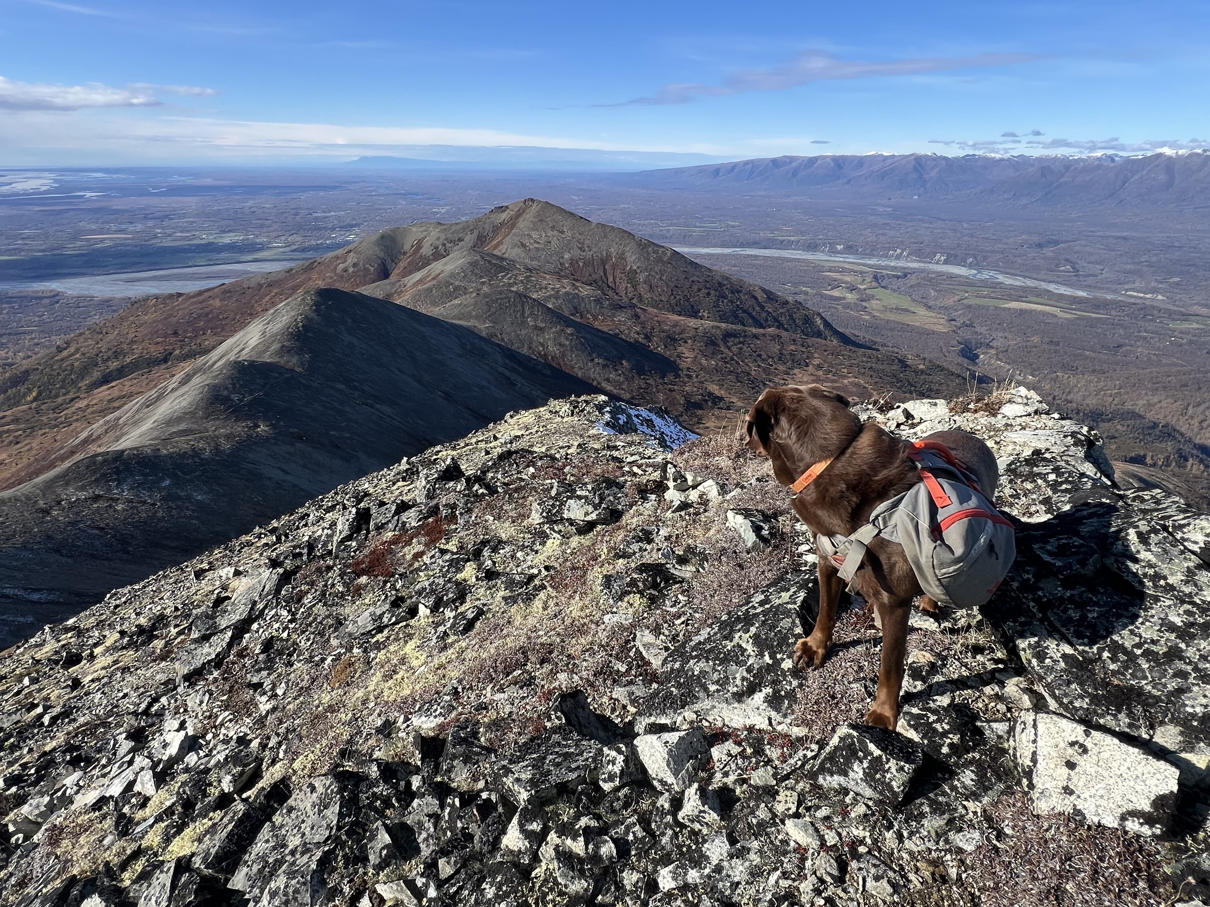
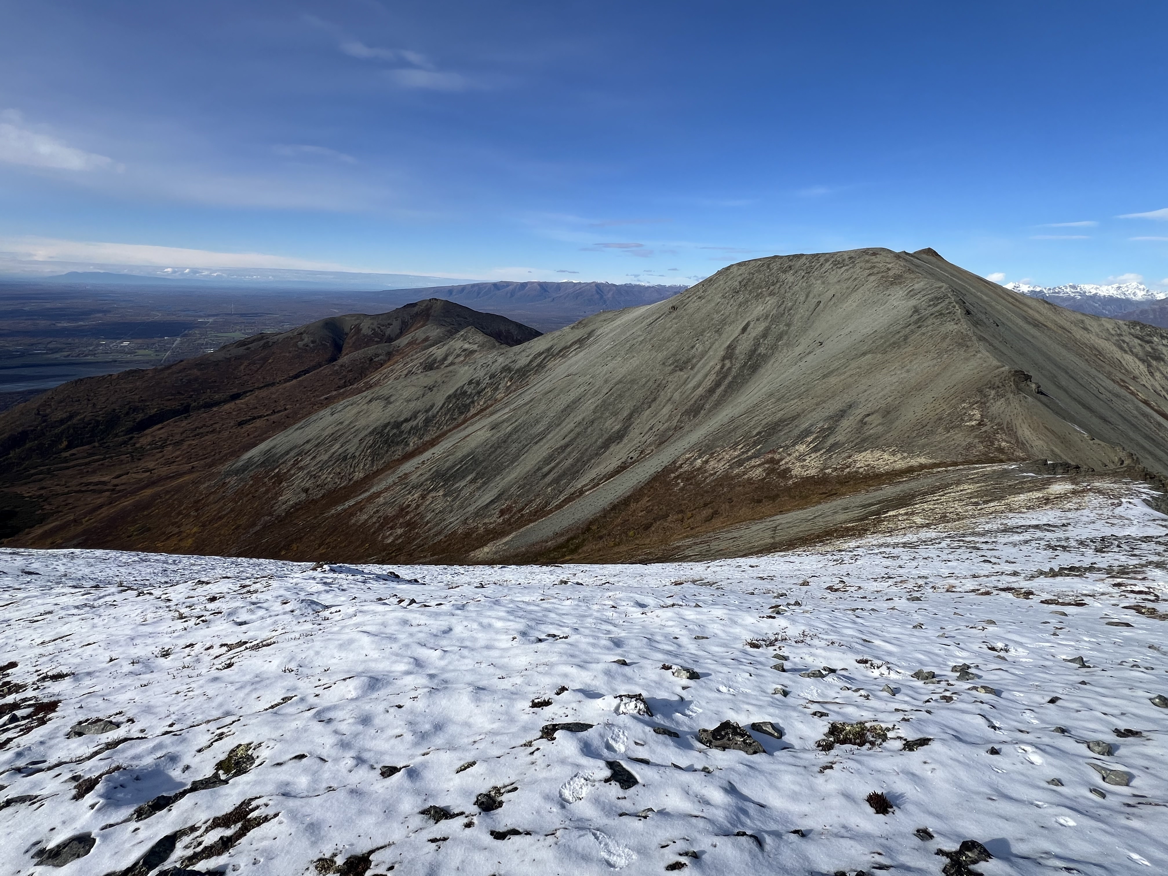
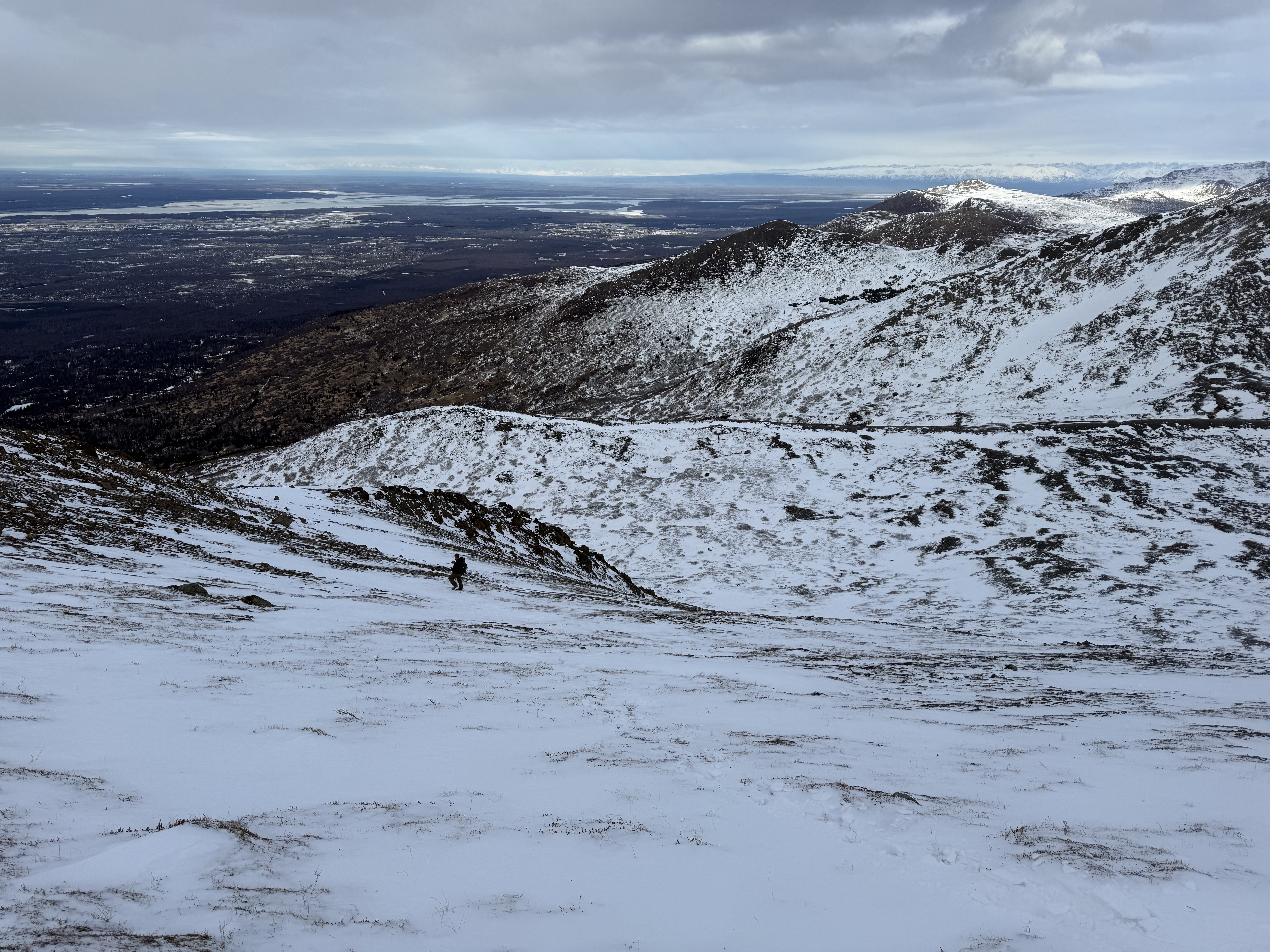
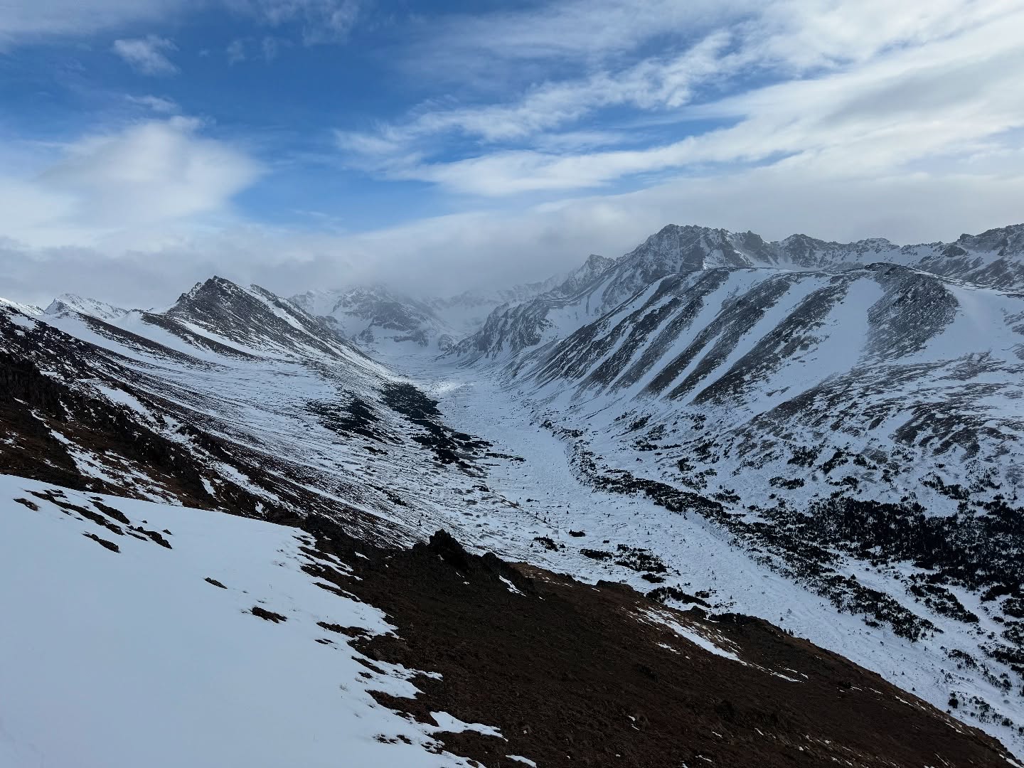
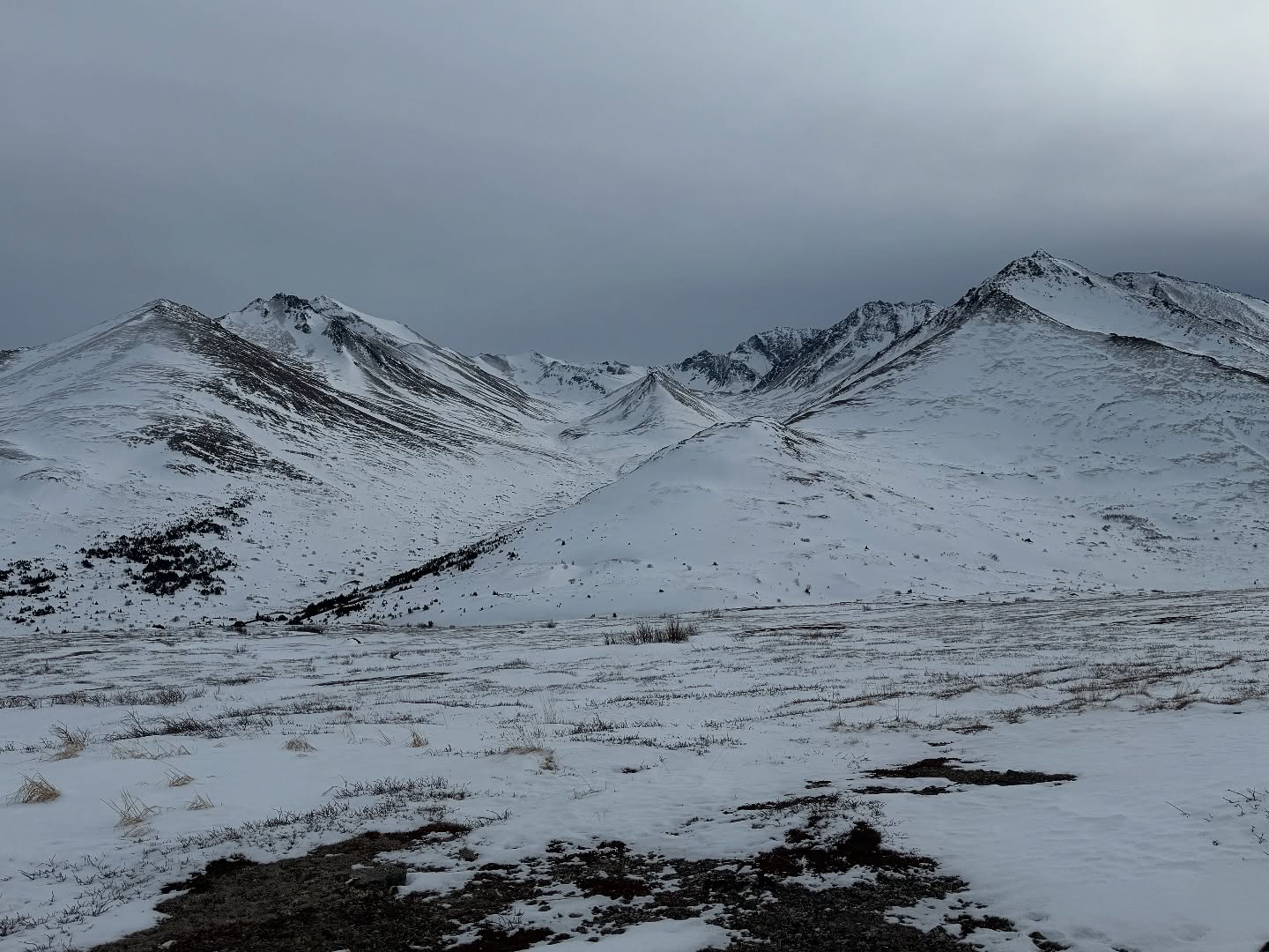
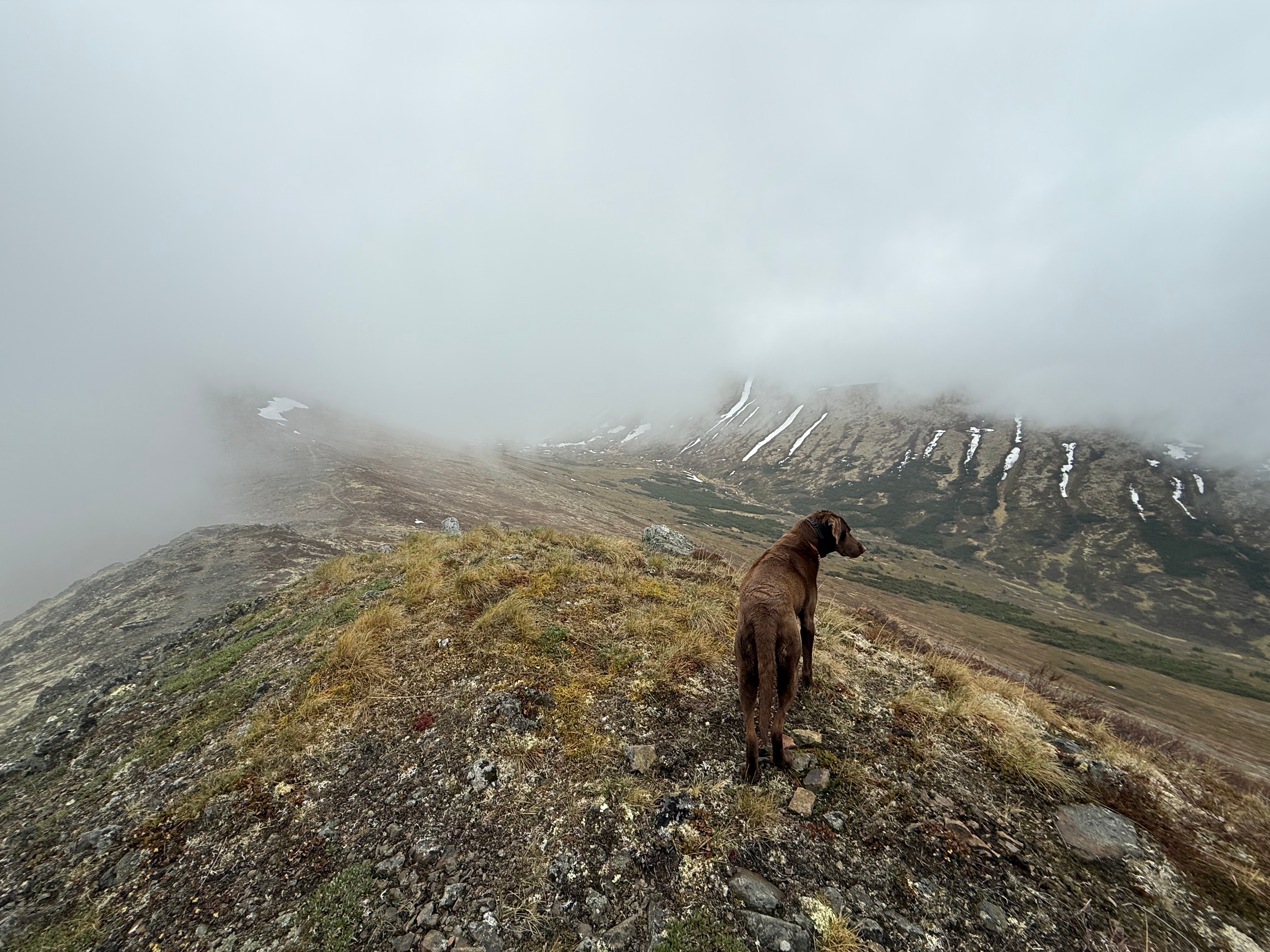
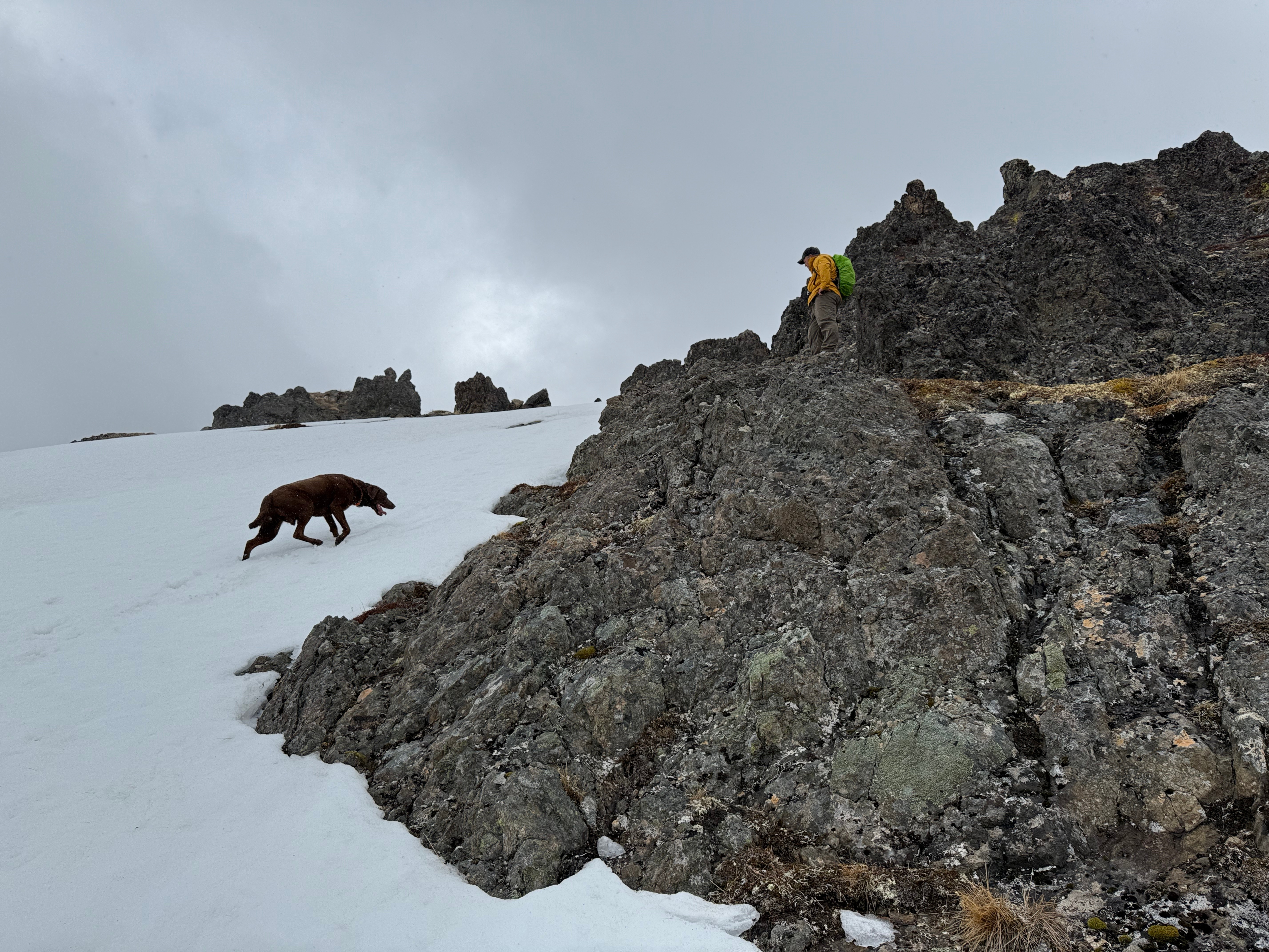
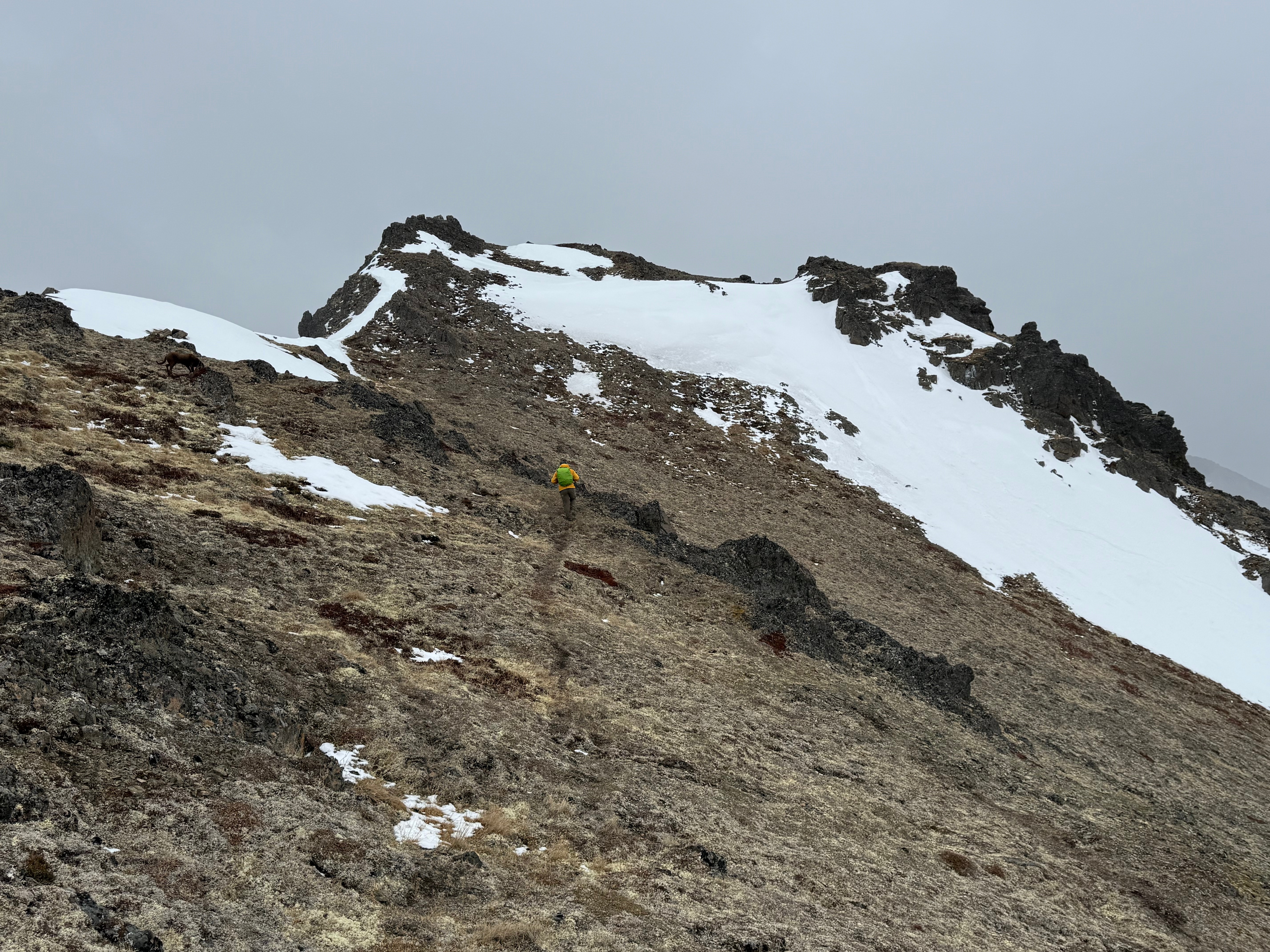
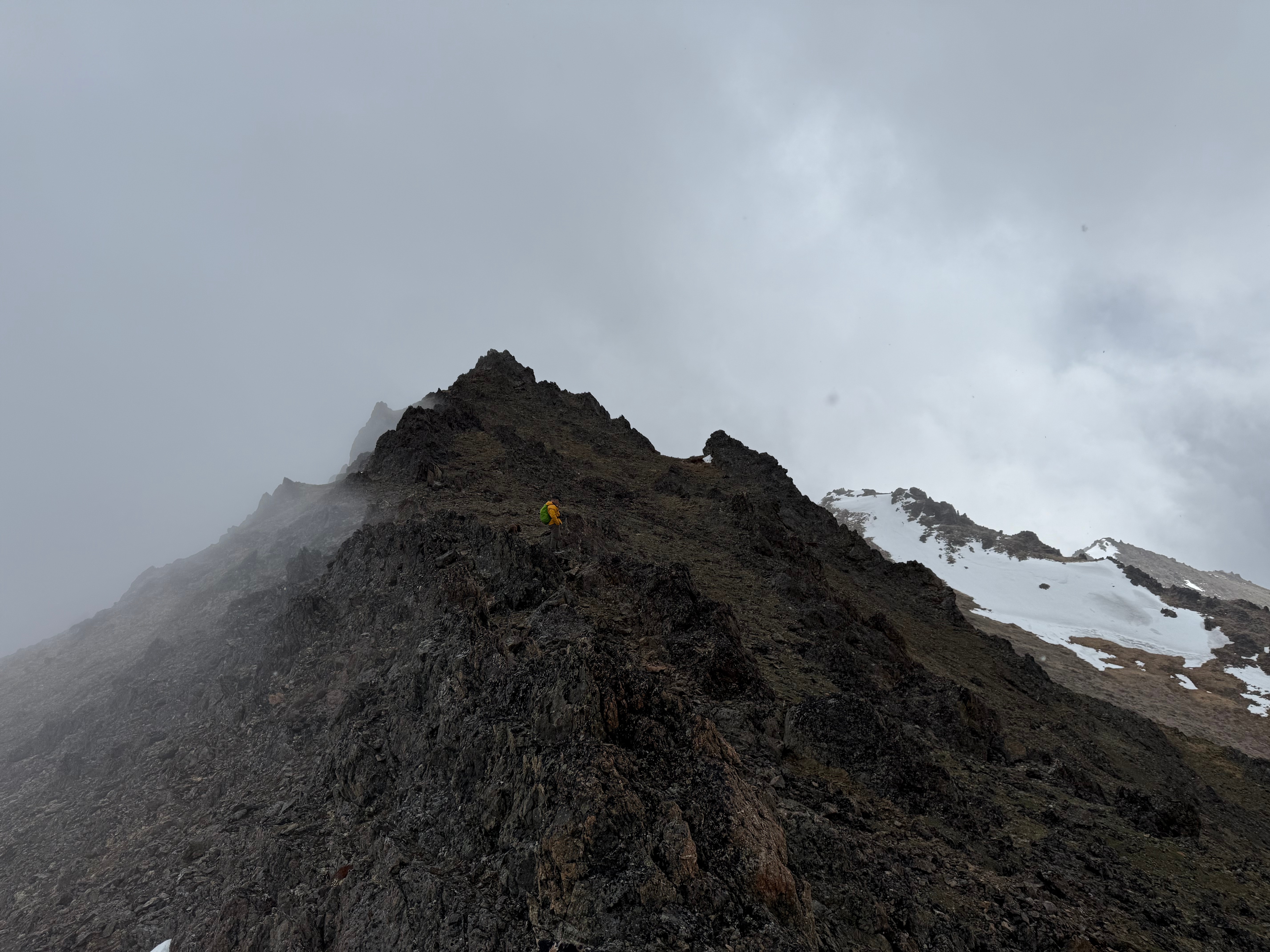
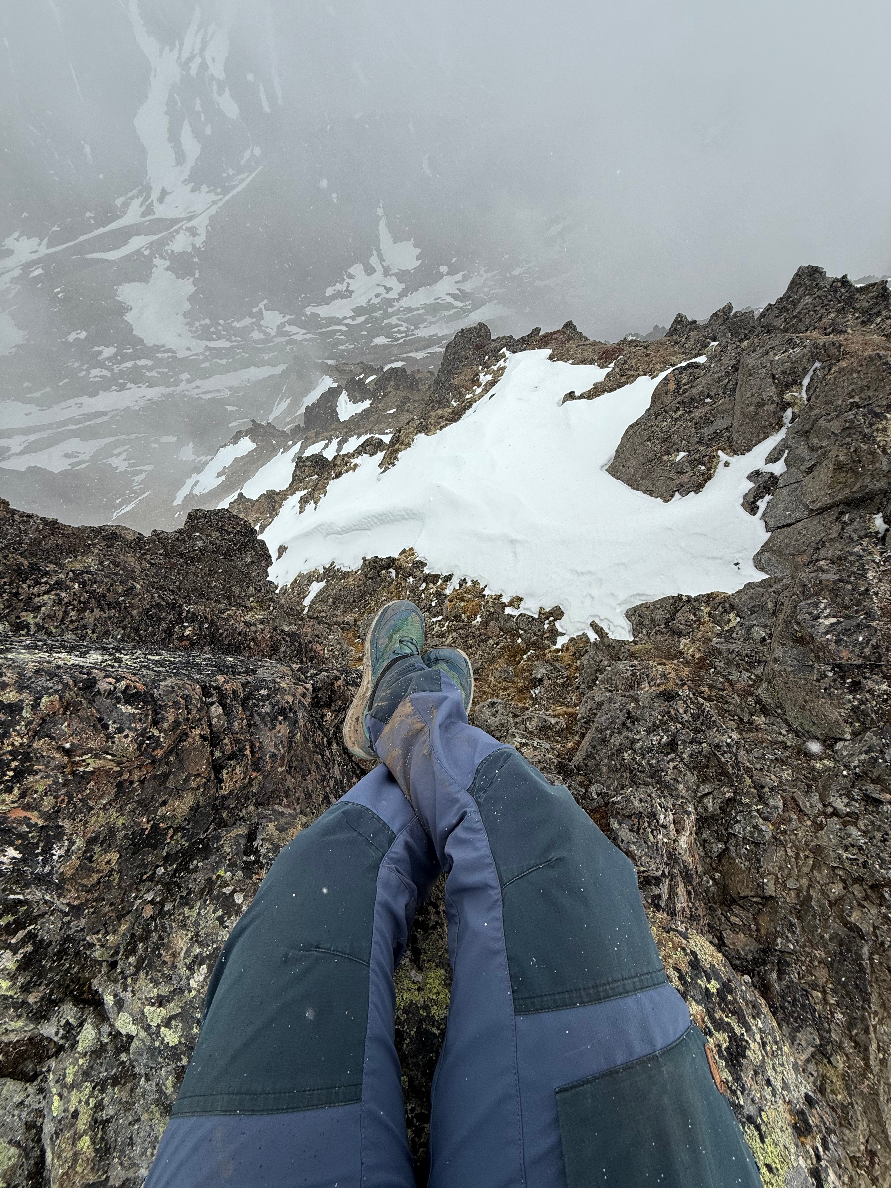
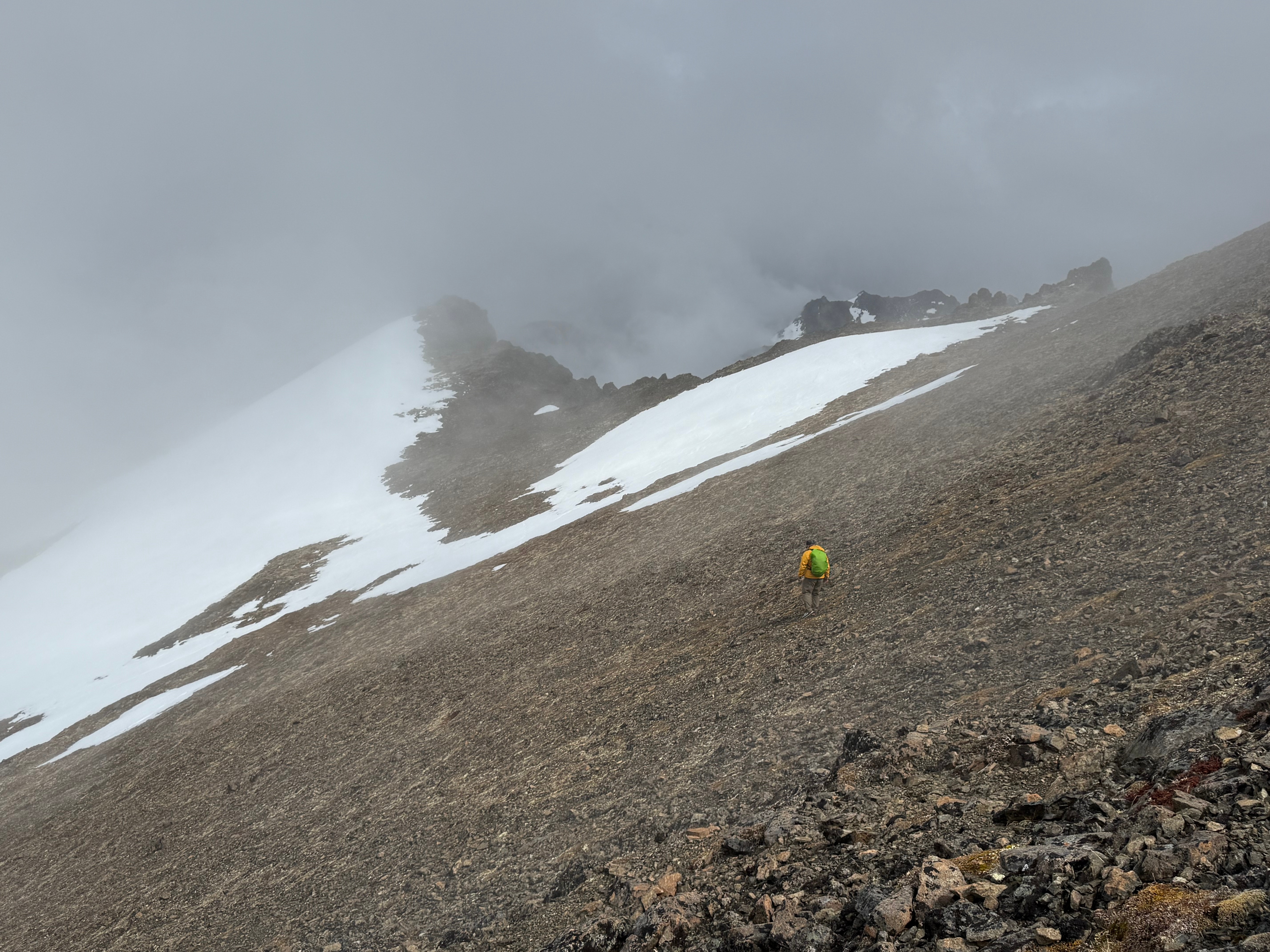
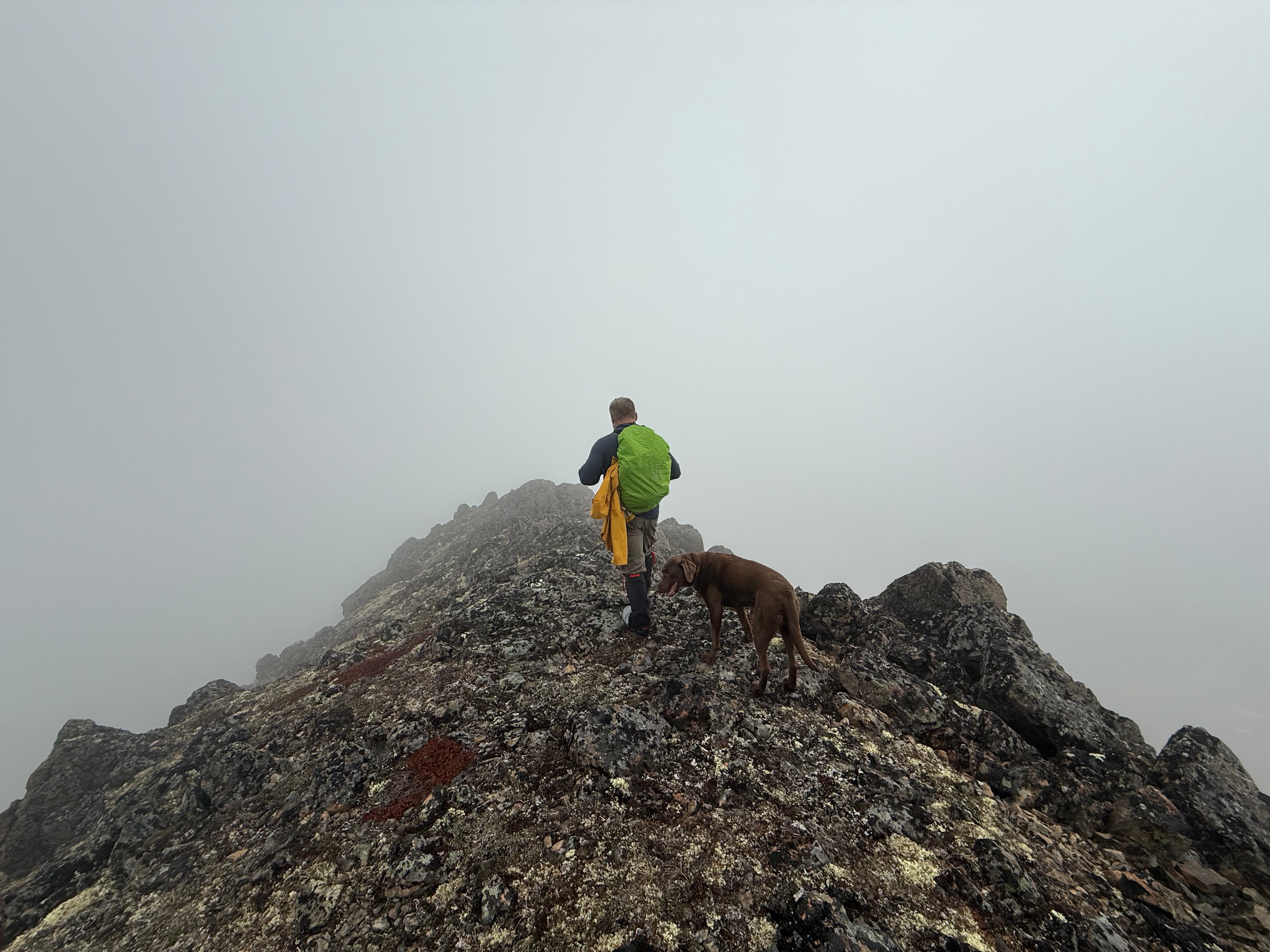
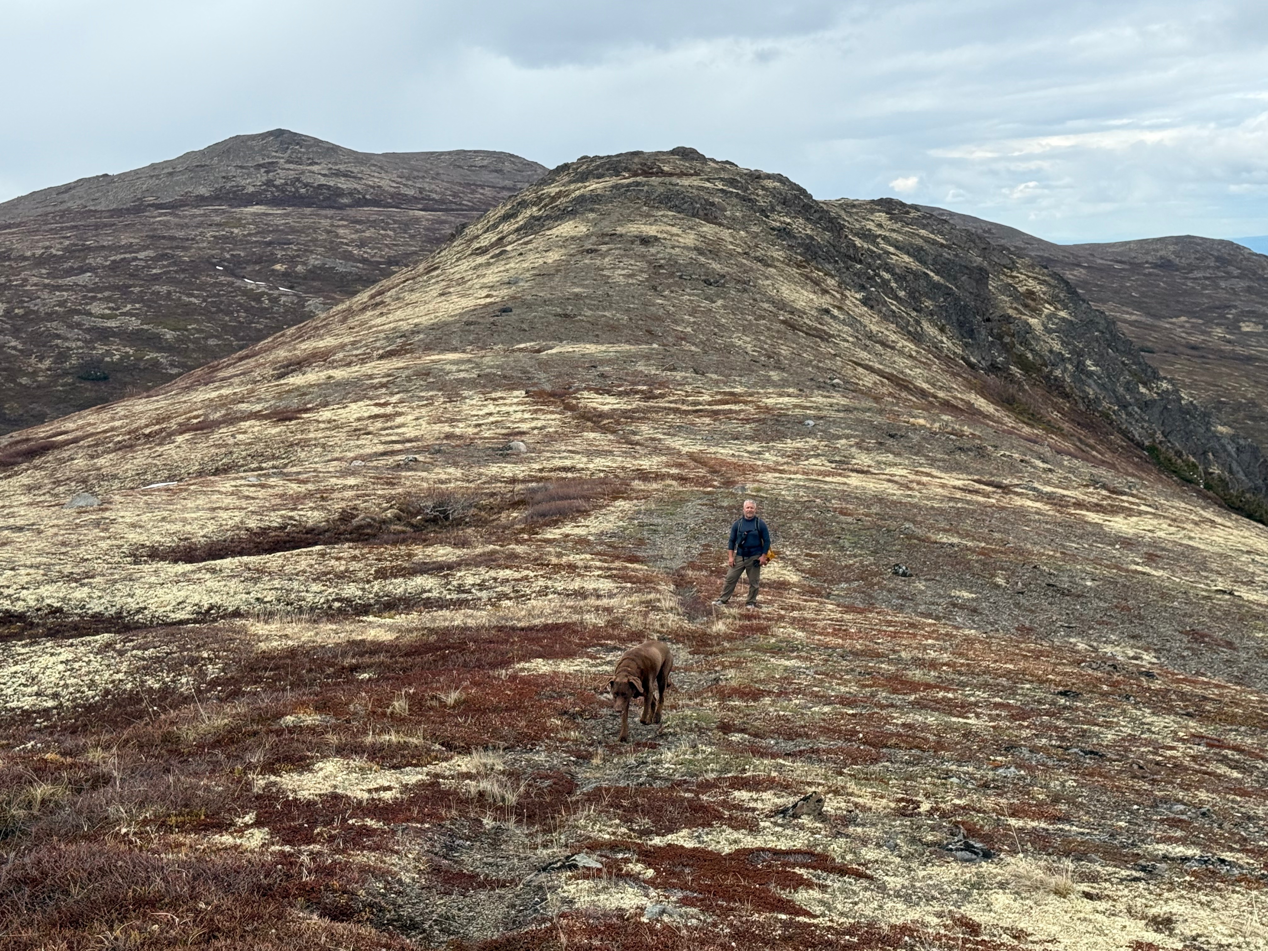
Now six miles in, with three summits and over 4,000 feet of gain behind us, we paused to put on our tall gaiters. Deep snow clung to the ridgeline and northwest face of Kanchee. I voiced concern about the ridge route due to unconsolidated snow and a sheer drop-off to the east (I’m always irrationally paranoid that my dog might leap off a cliff), so we descended via Kanchee’s west ridge to a point where crossing the snowfield felt safer.
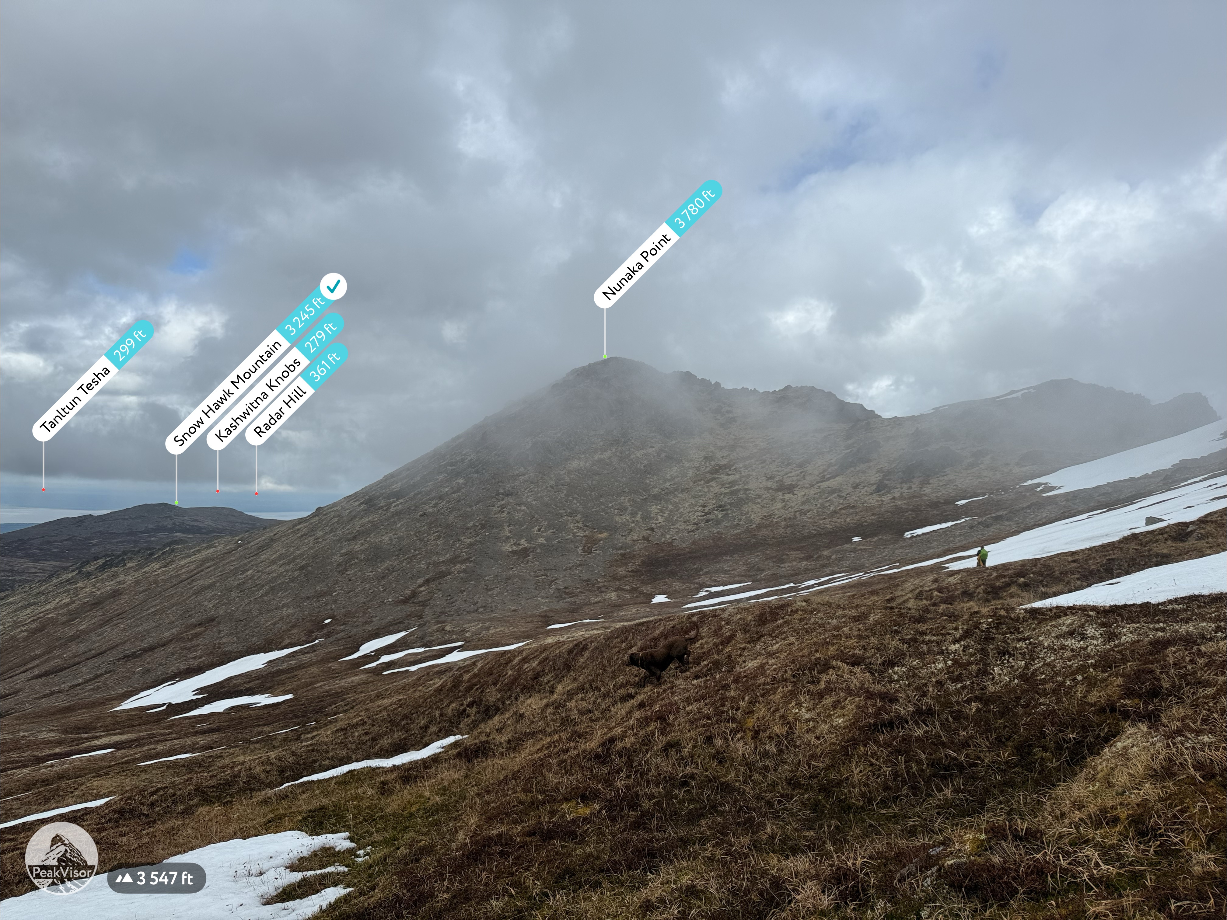
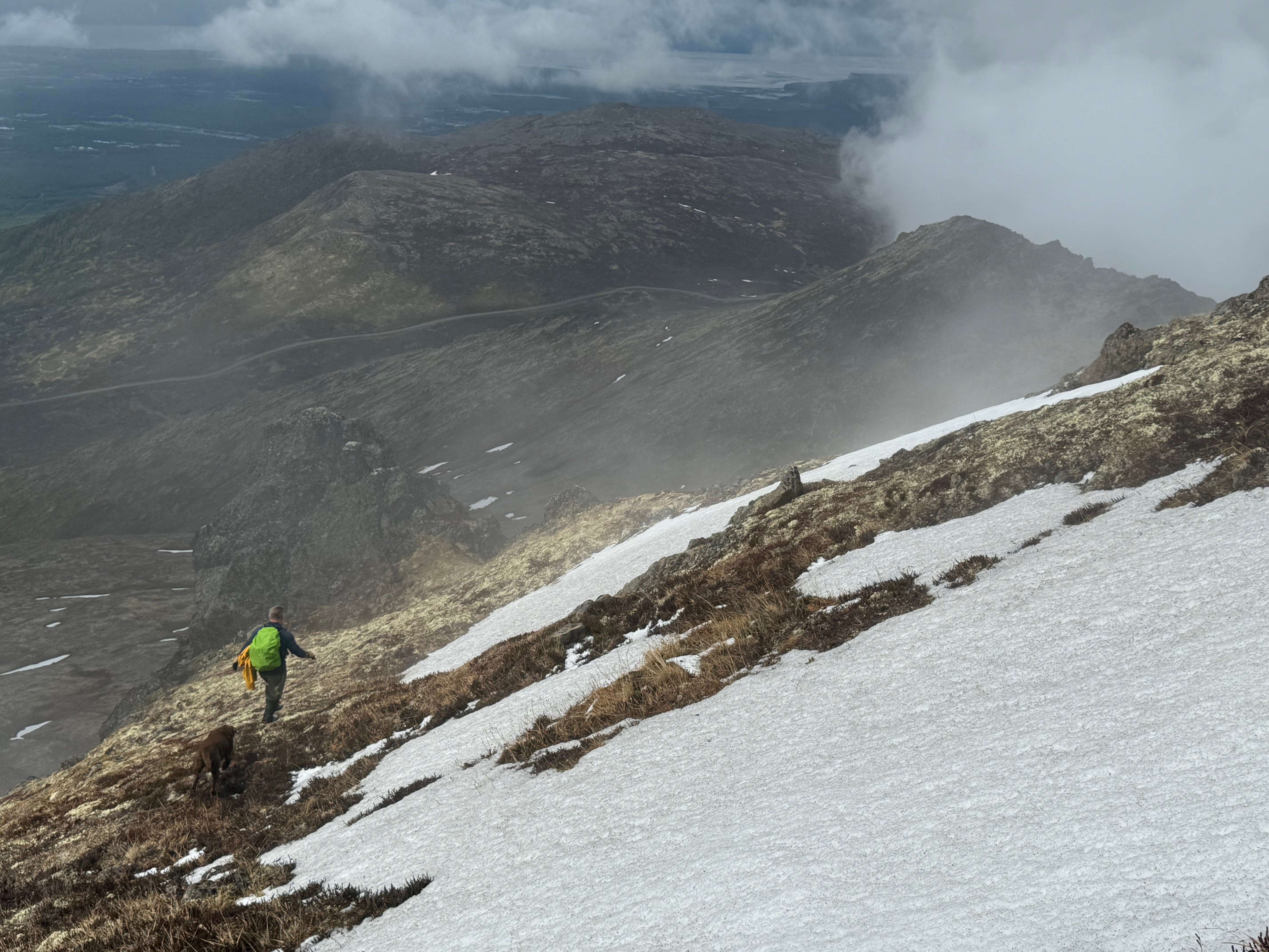

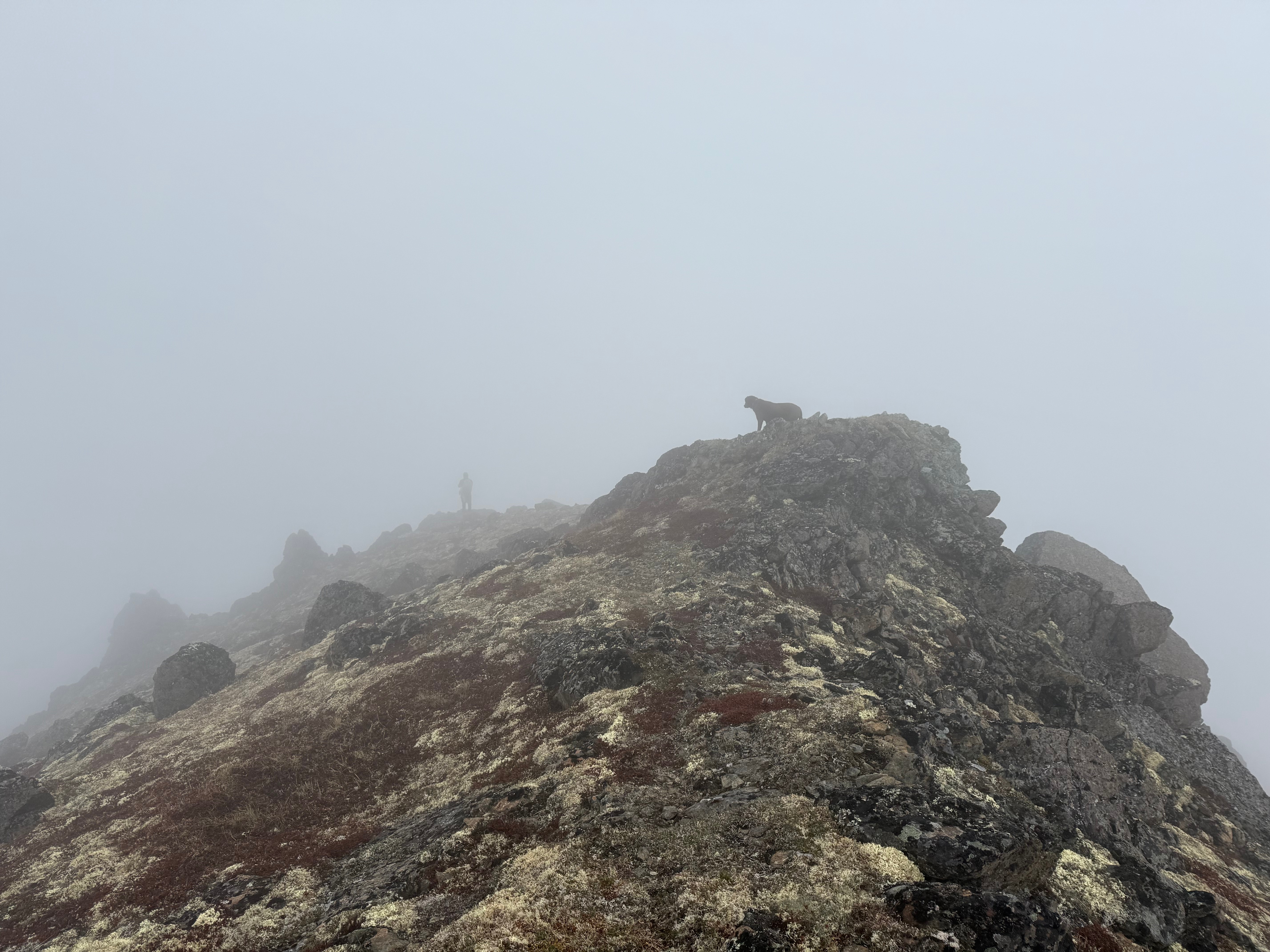
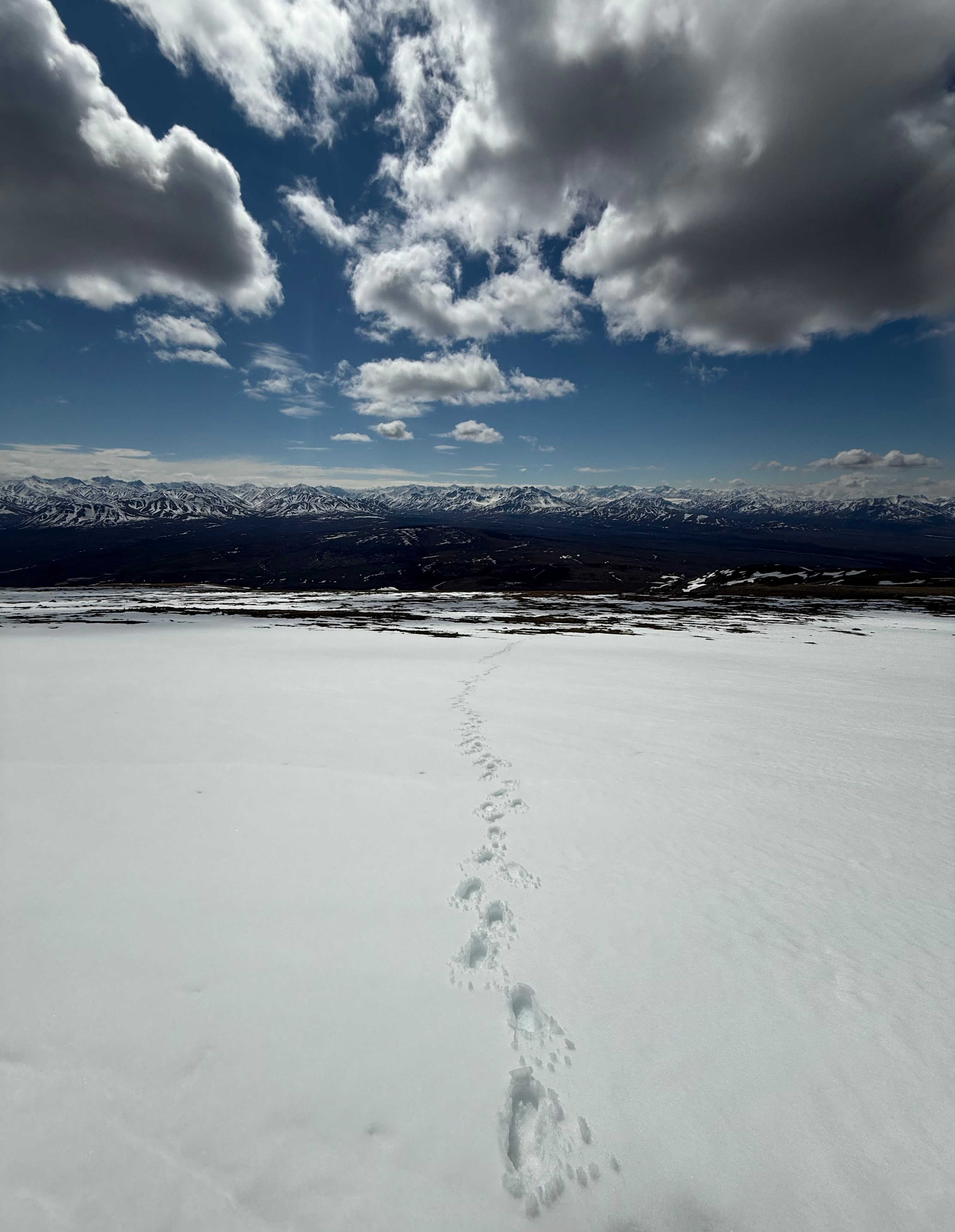
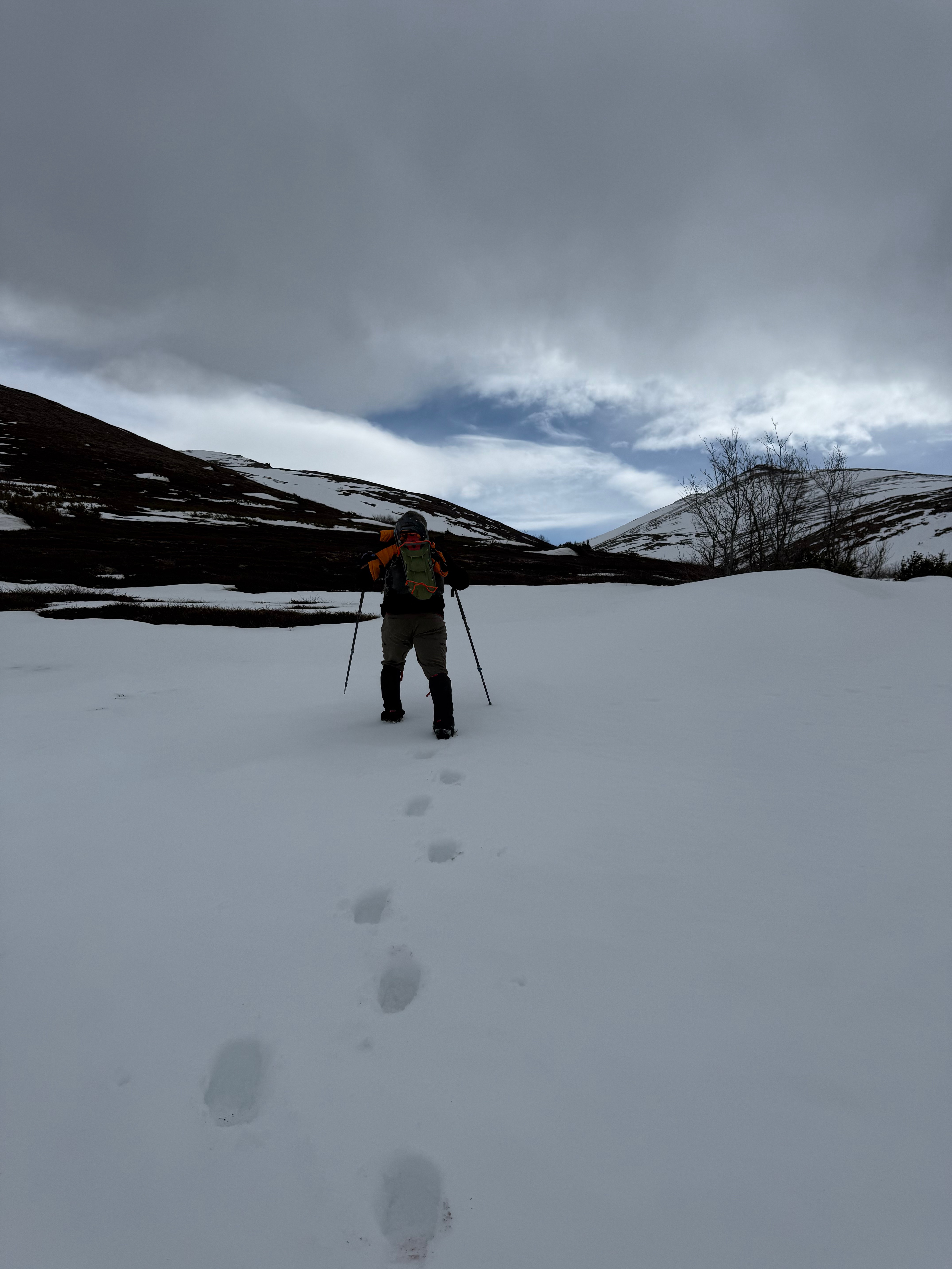
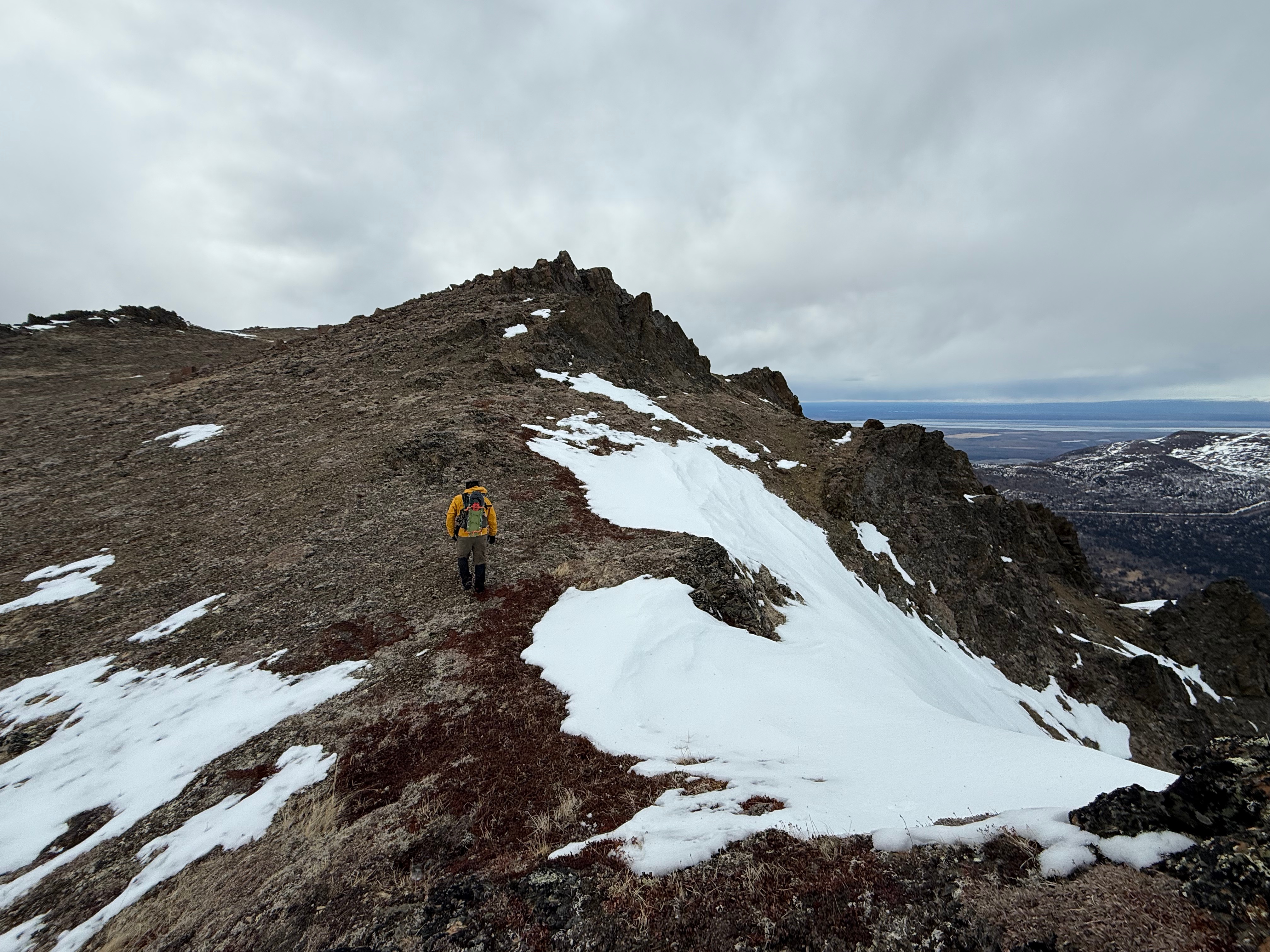
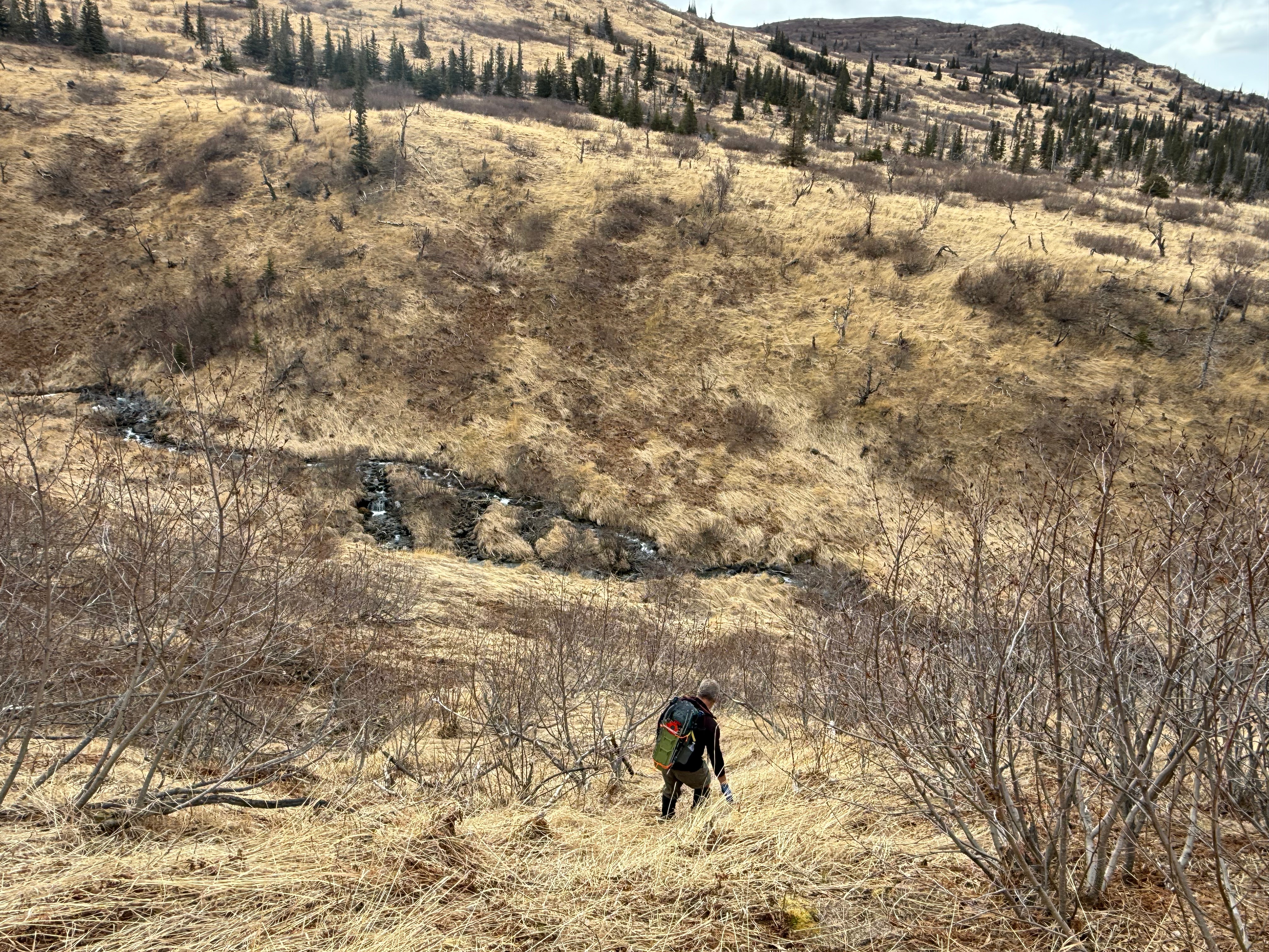
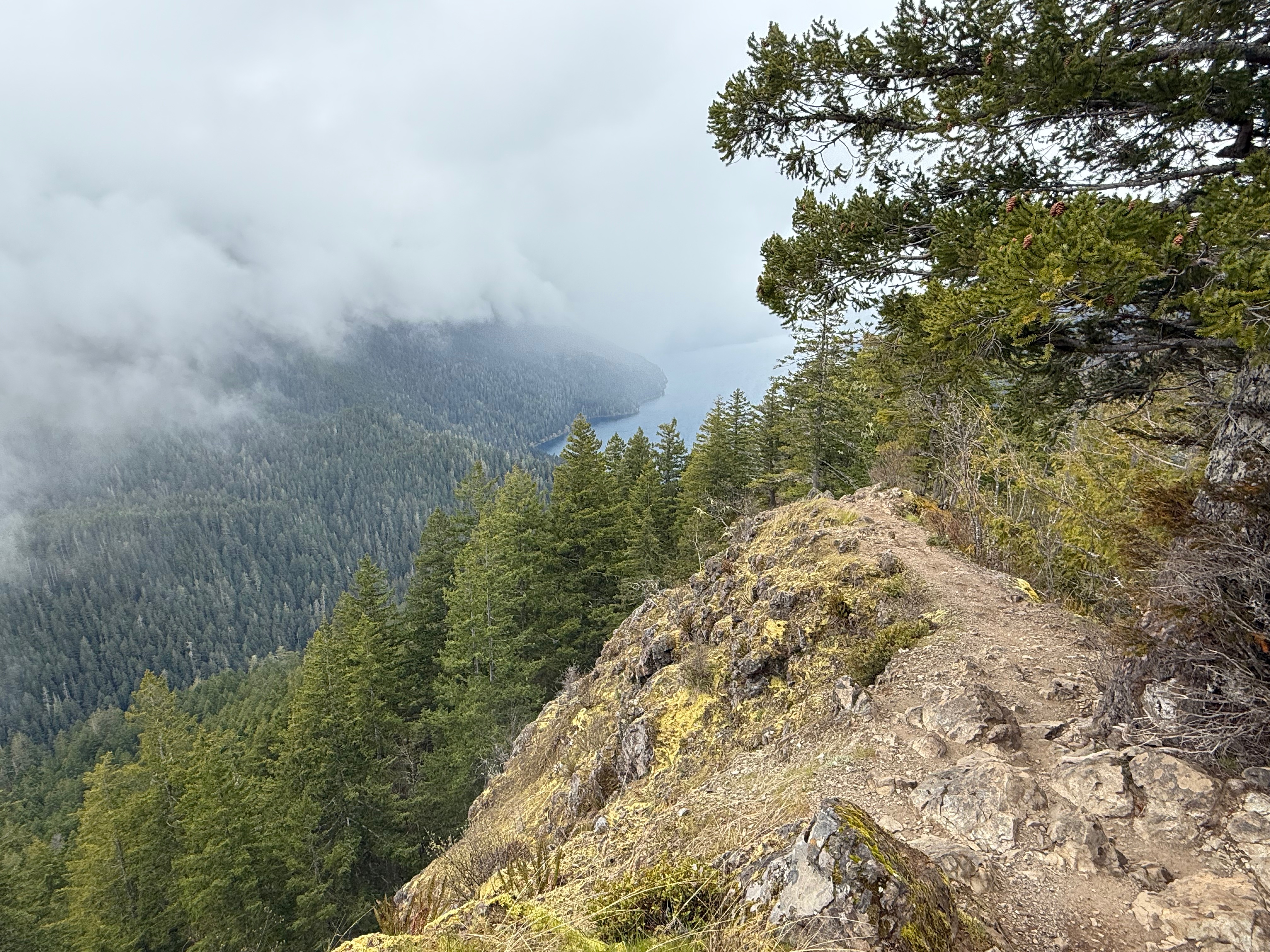
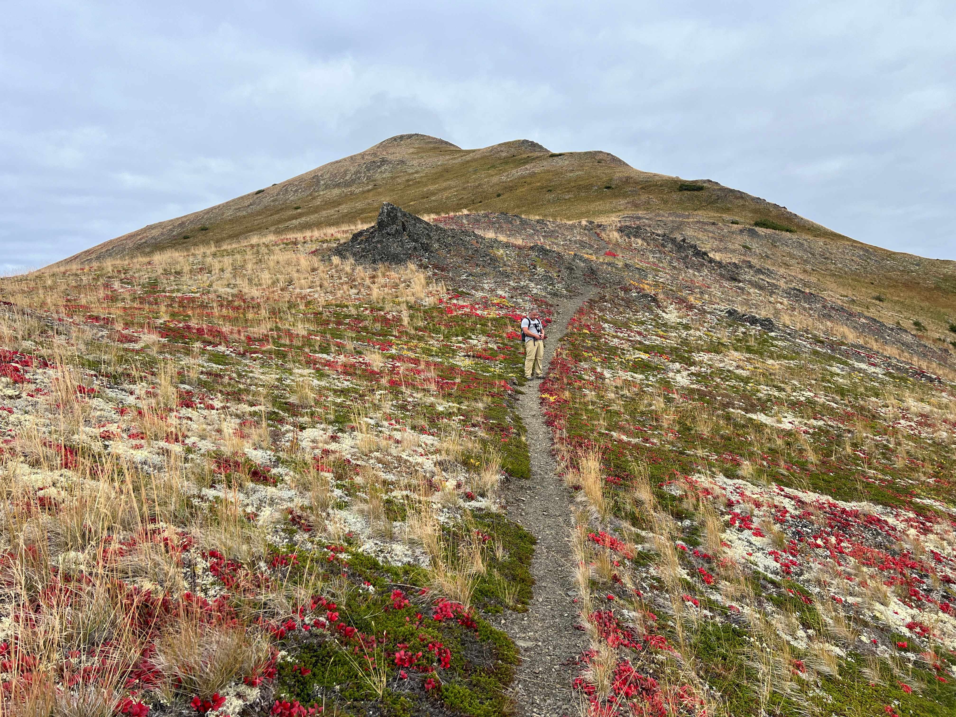
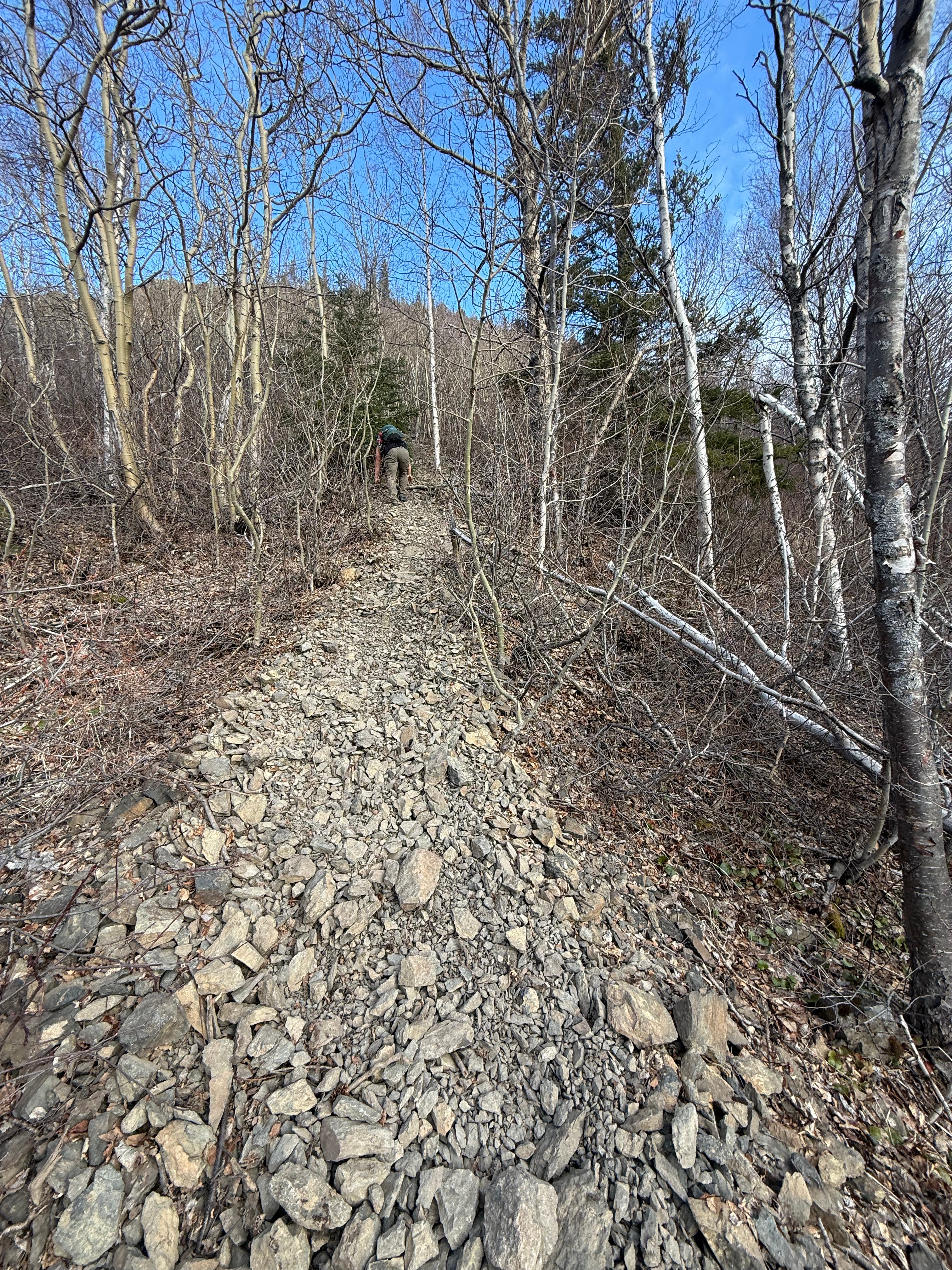
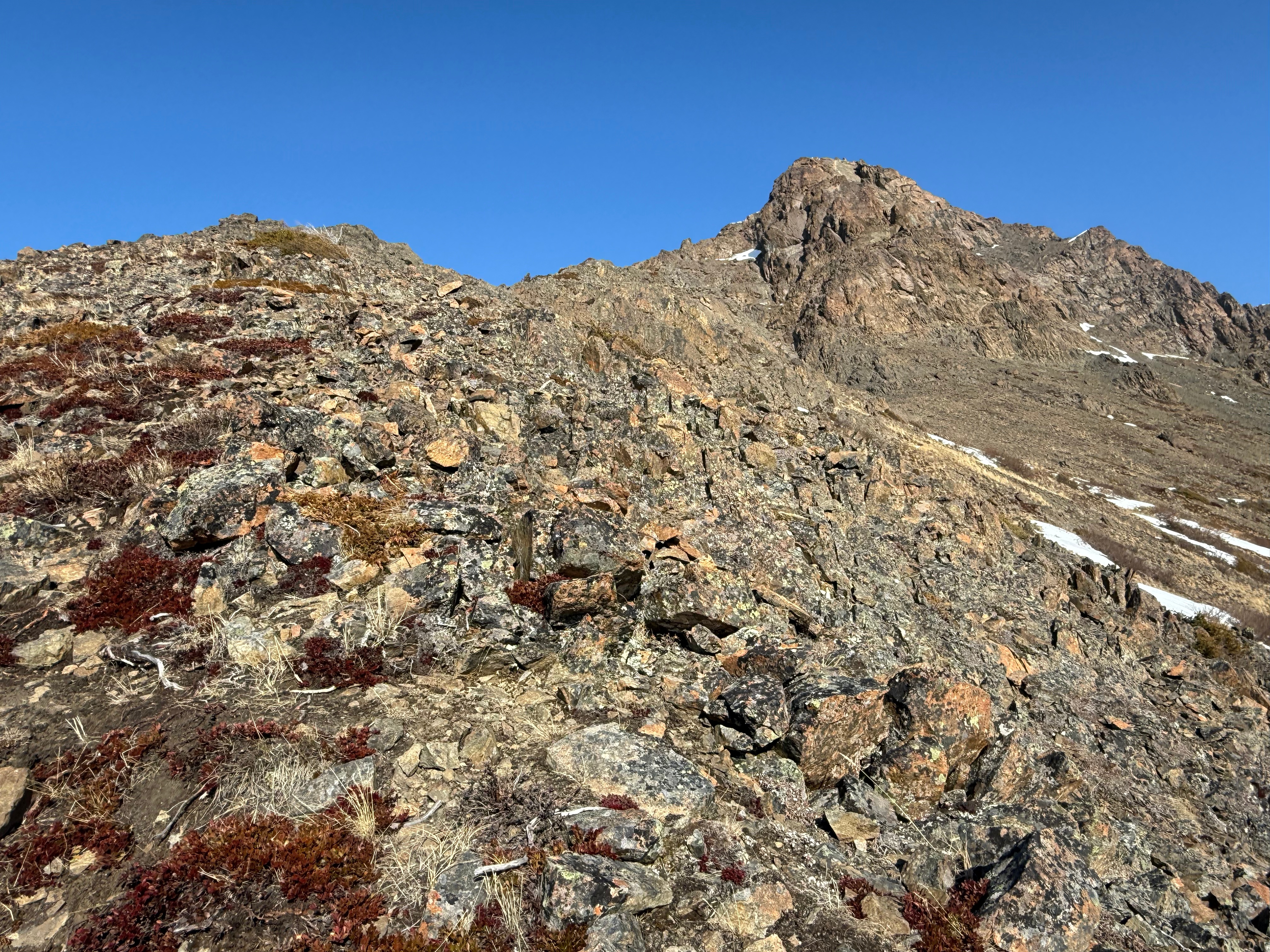
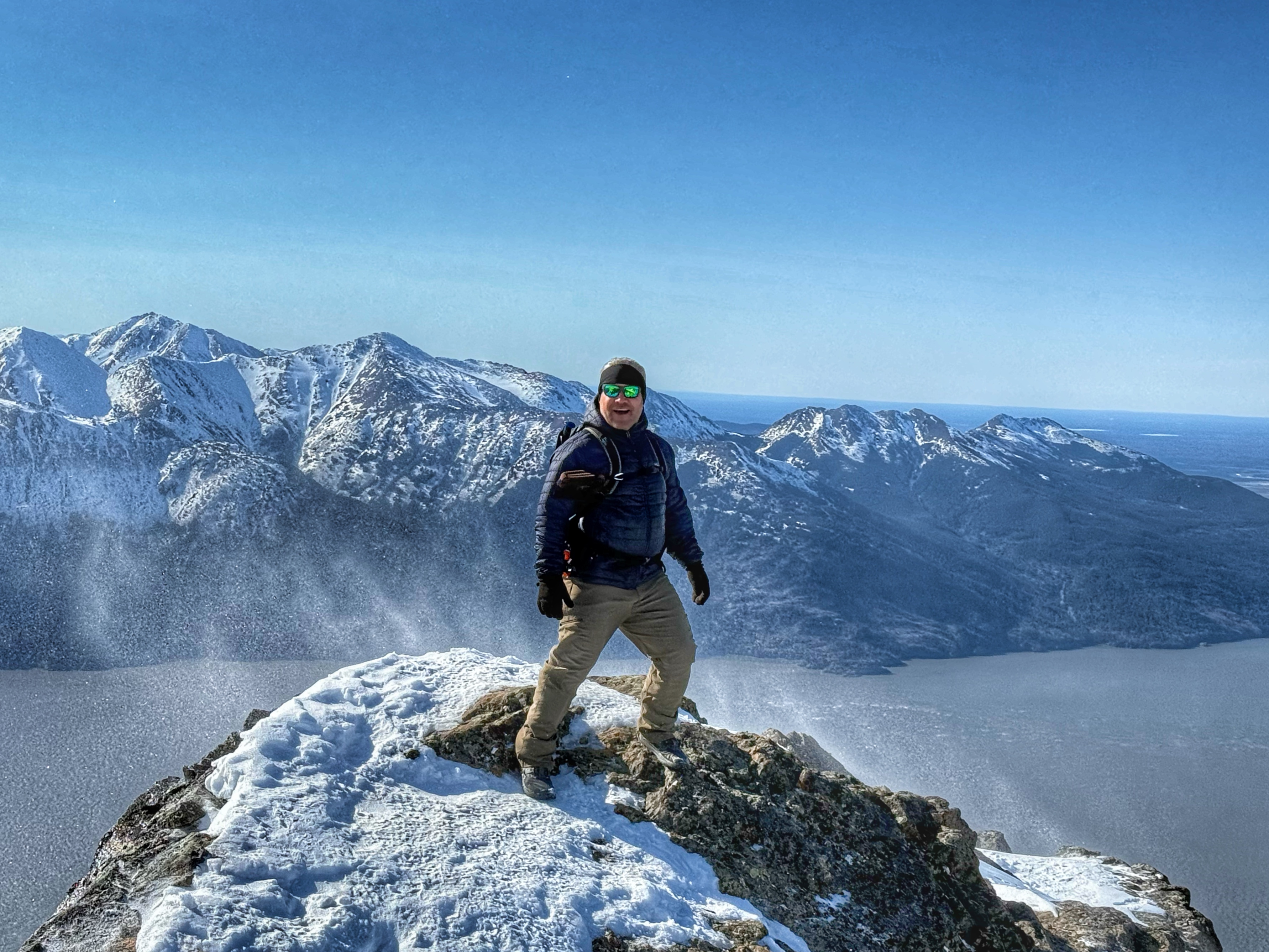
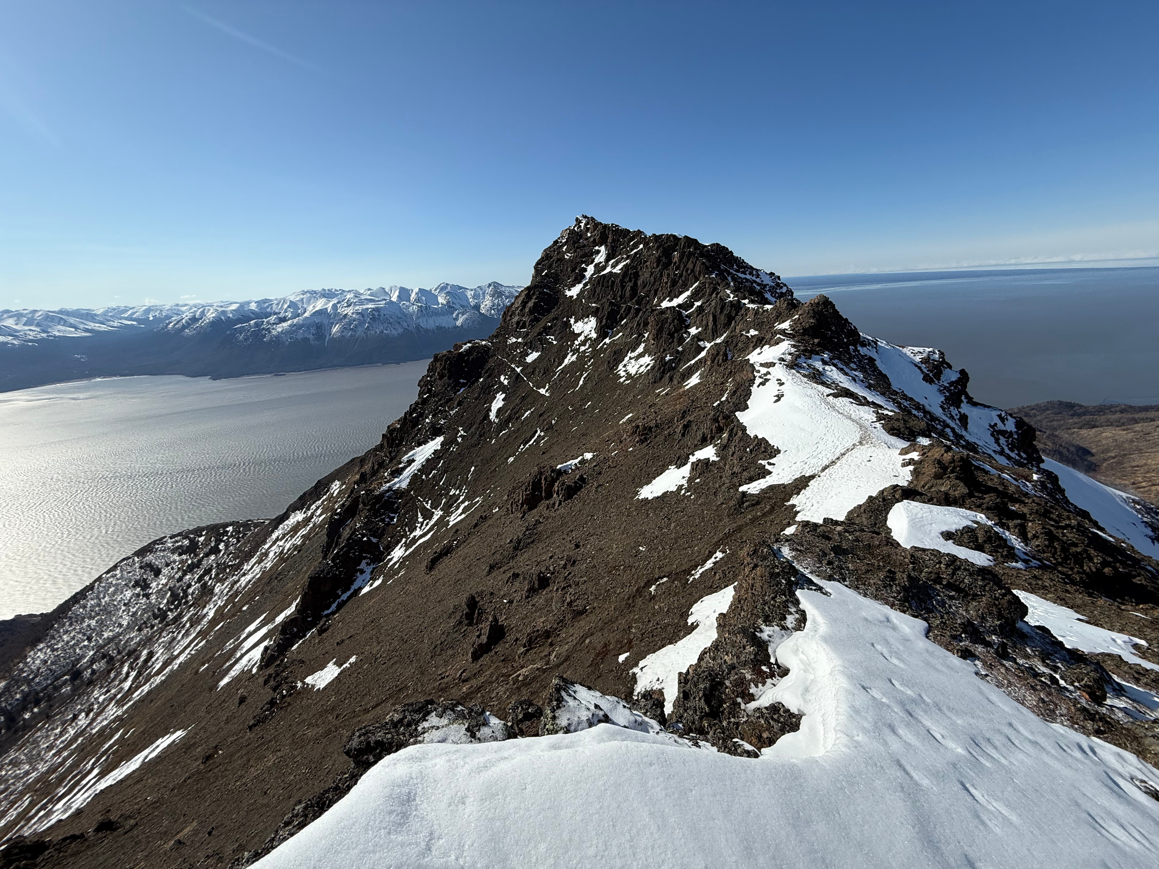
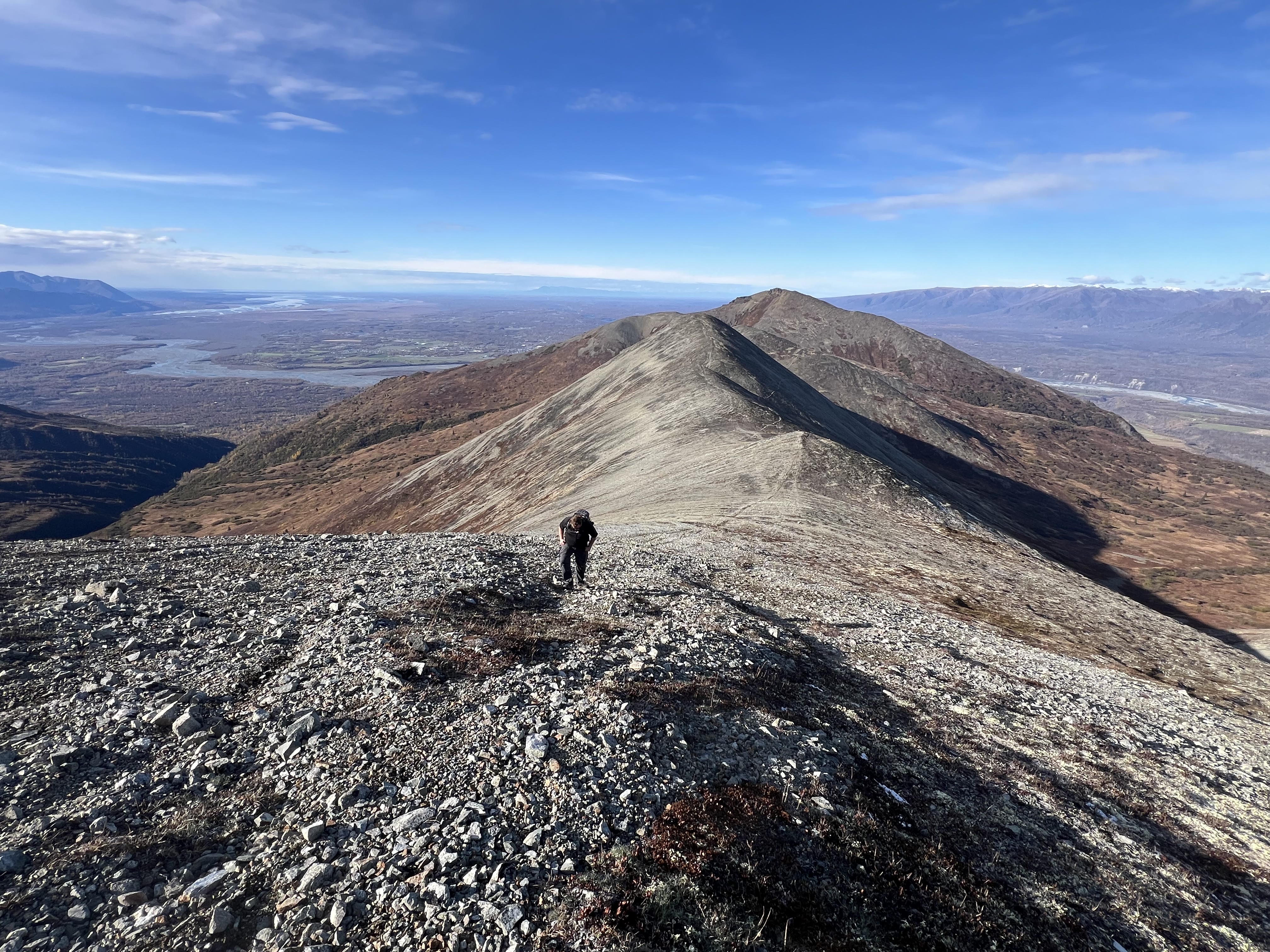
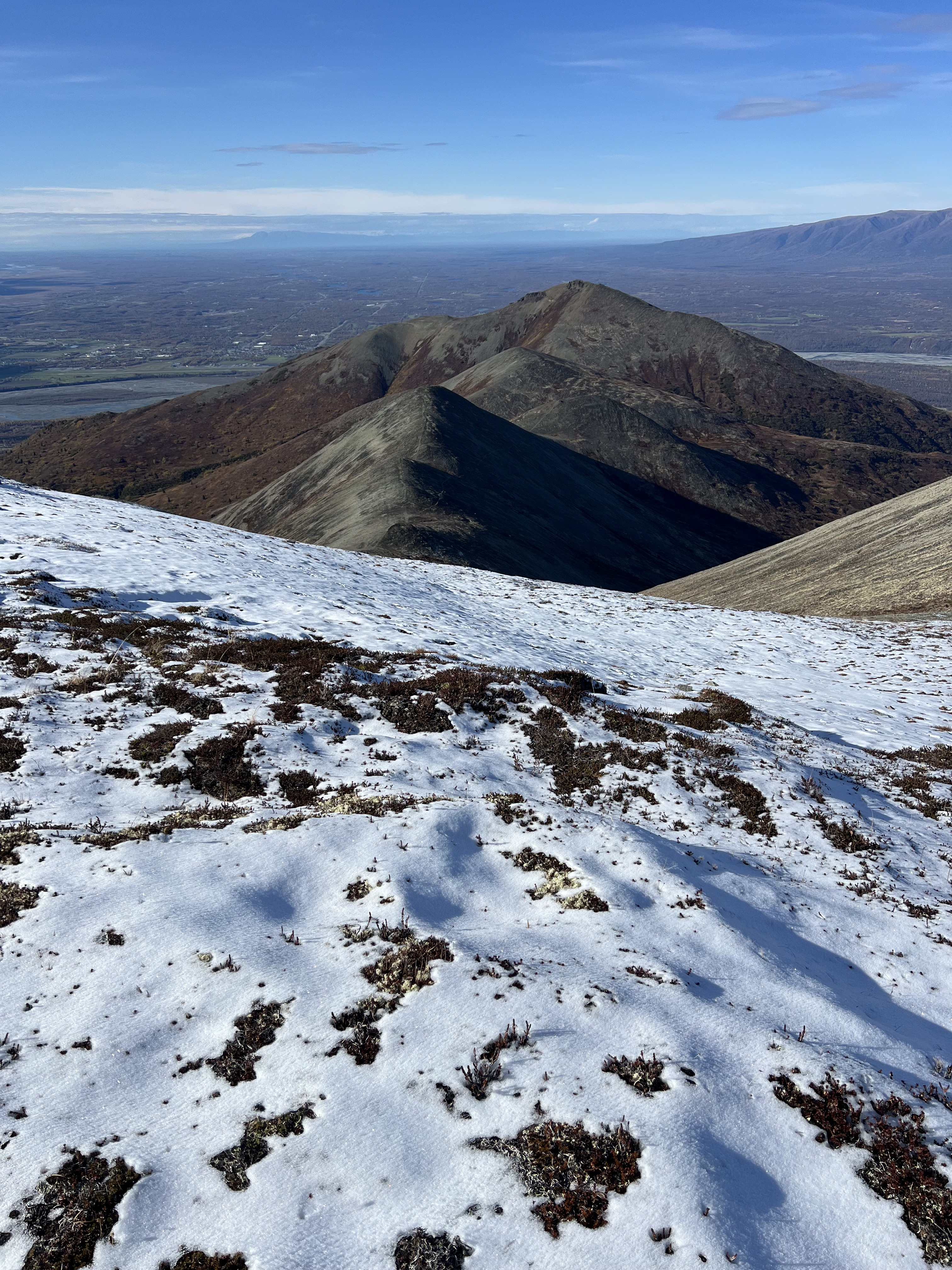
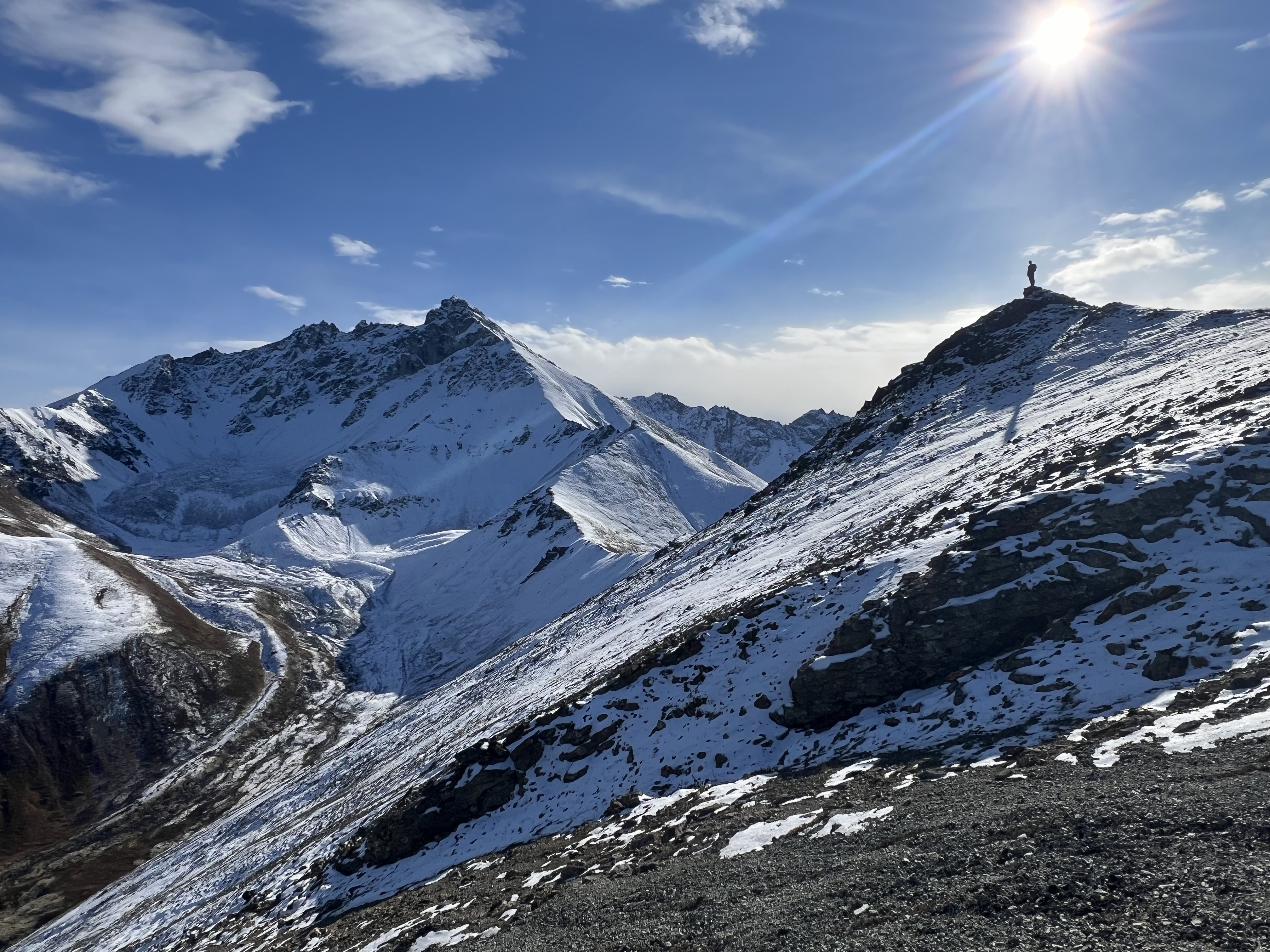
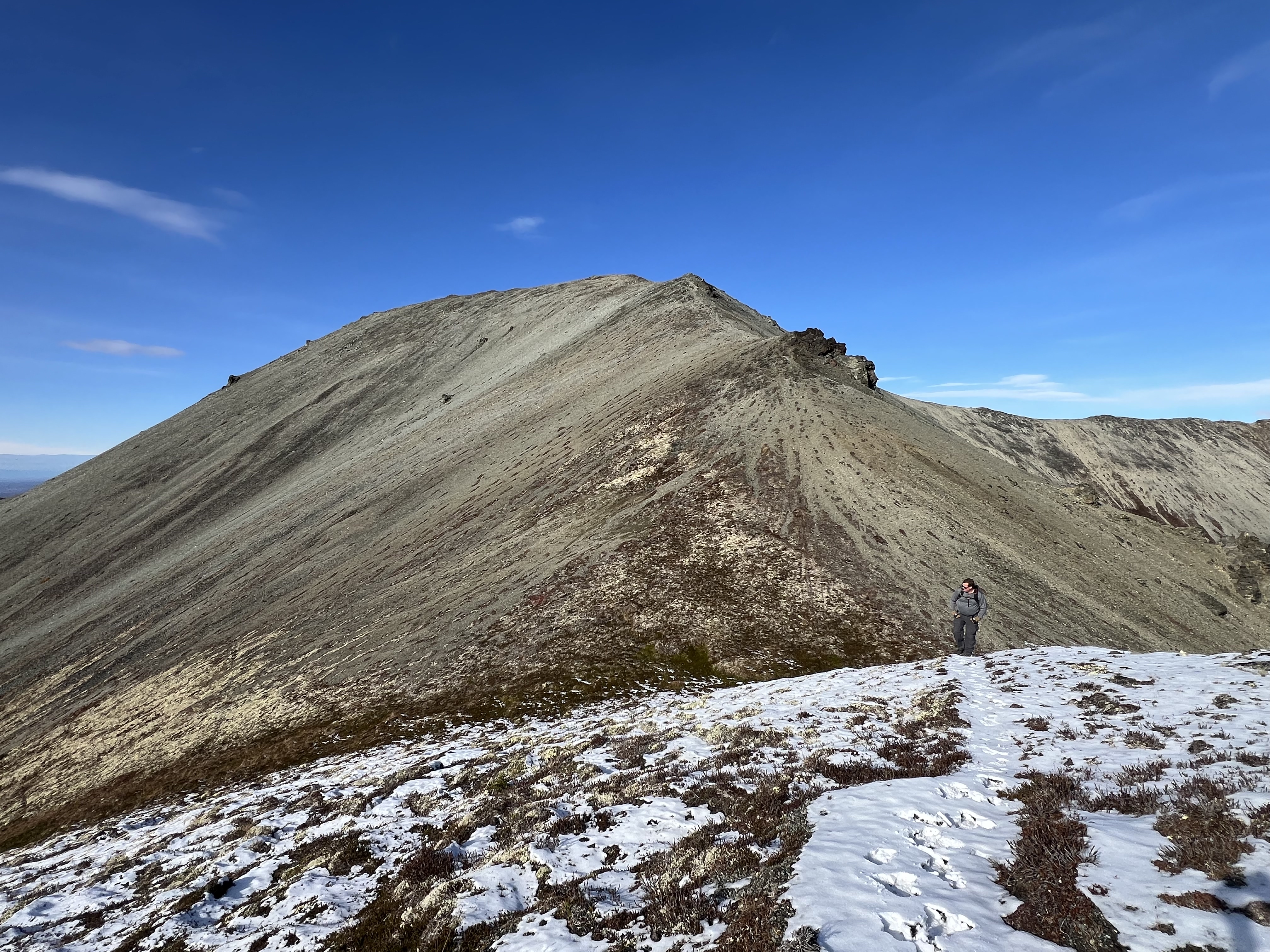
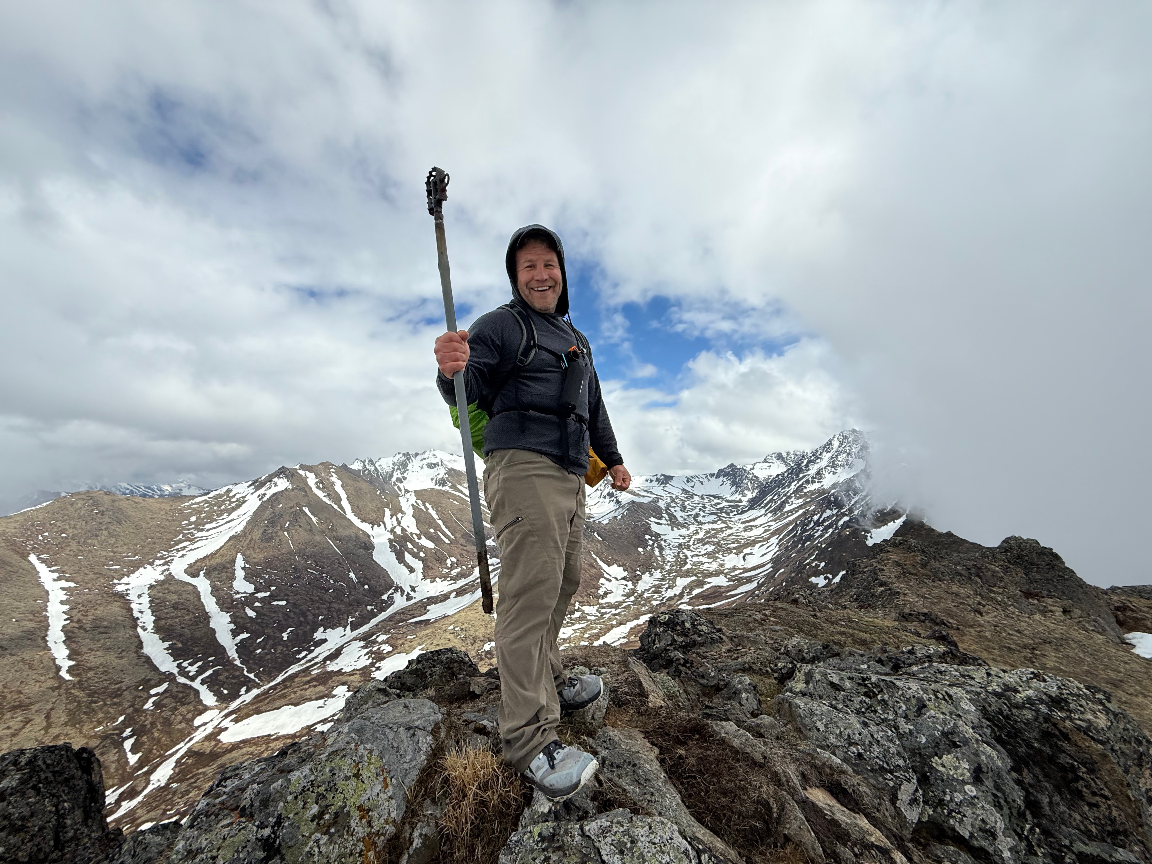
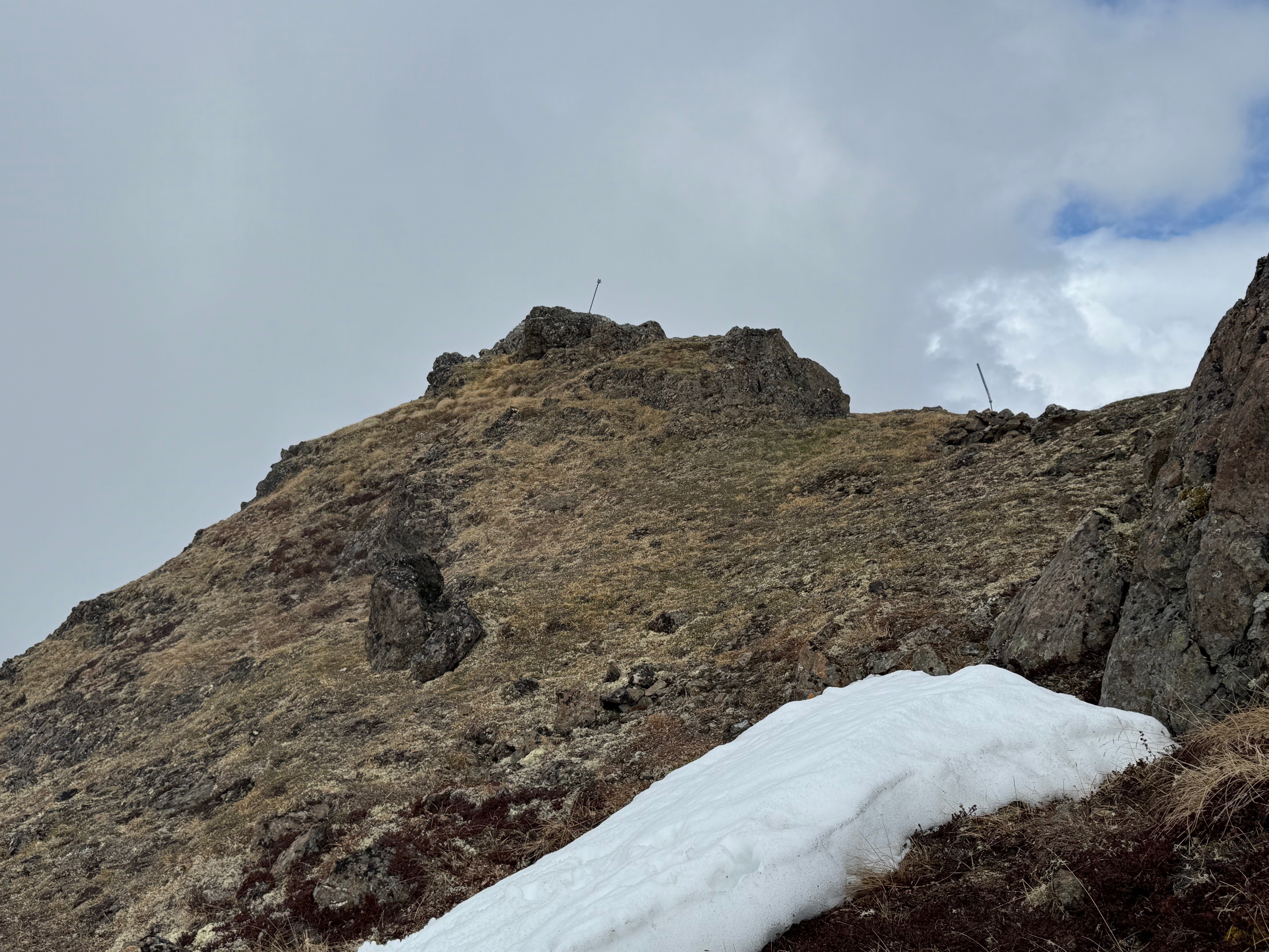
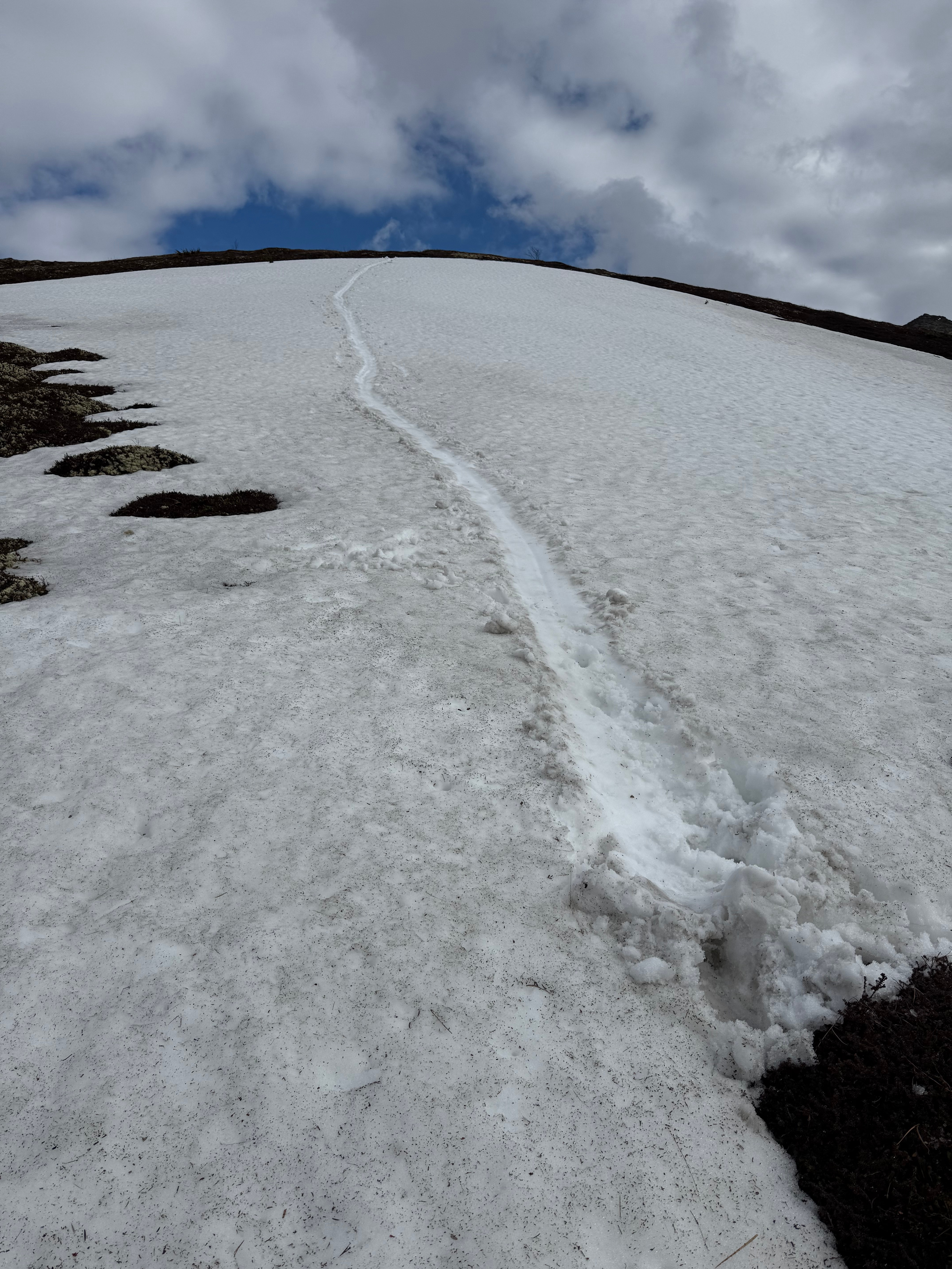
Even 700 feet below the summit, we were still postholing through knee-deep snow. I eventually chose to slide down the final few patches to the base of Nunaka. Two hundred feet above us stood the summit of Nunaka, the last peak in the ridgeline series—seven miles into our hike now. The clouds returned as we walked up the grassy slopes, and by the time we reached the top, the views had vanished again.

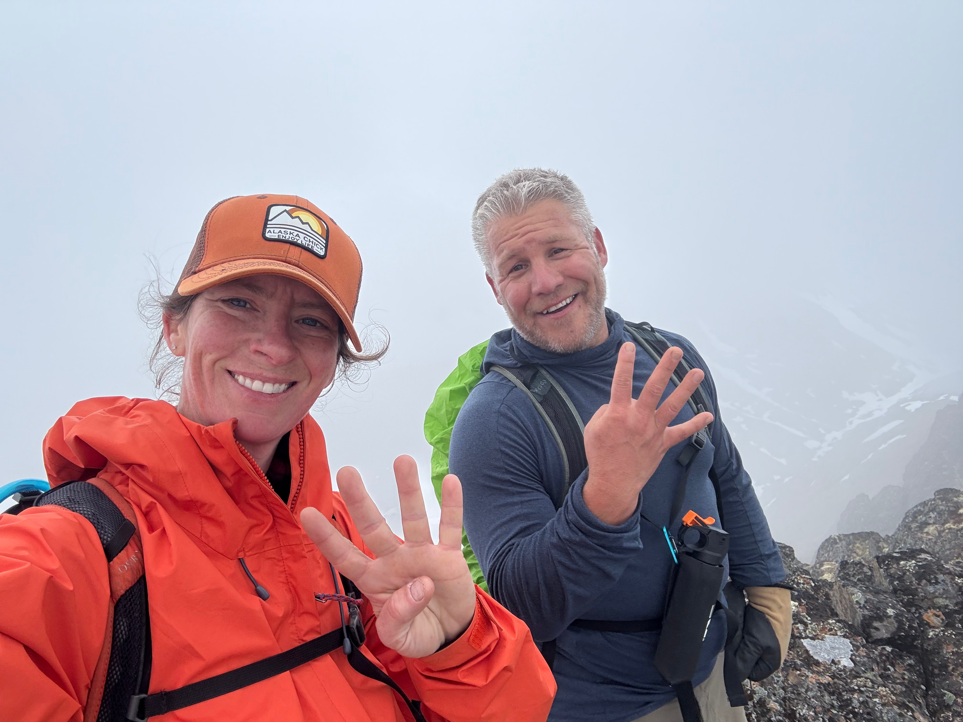
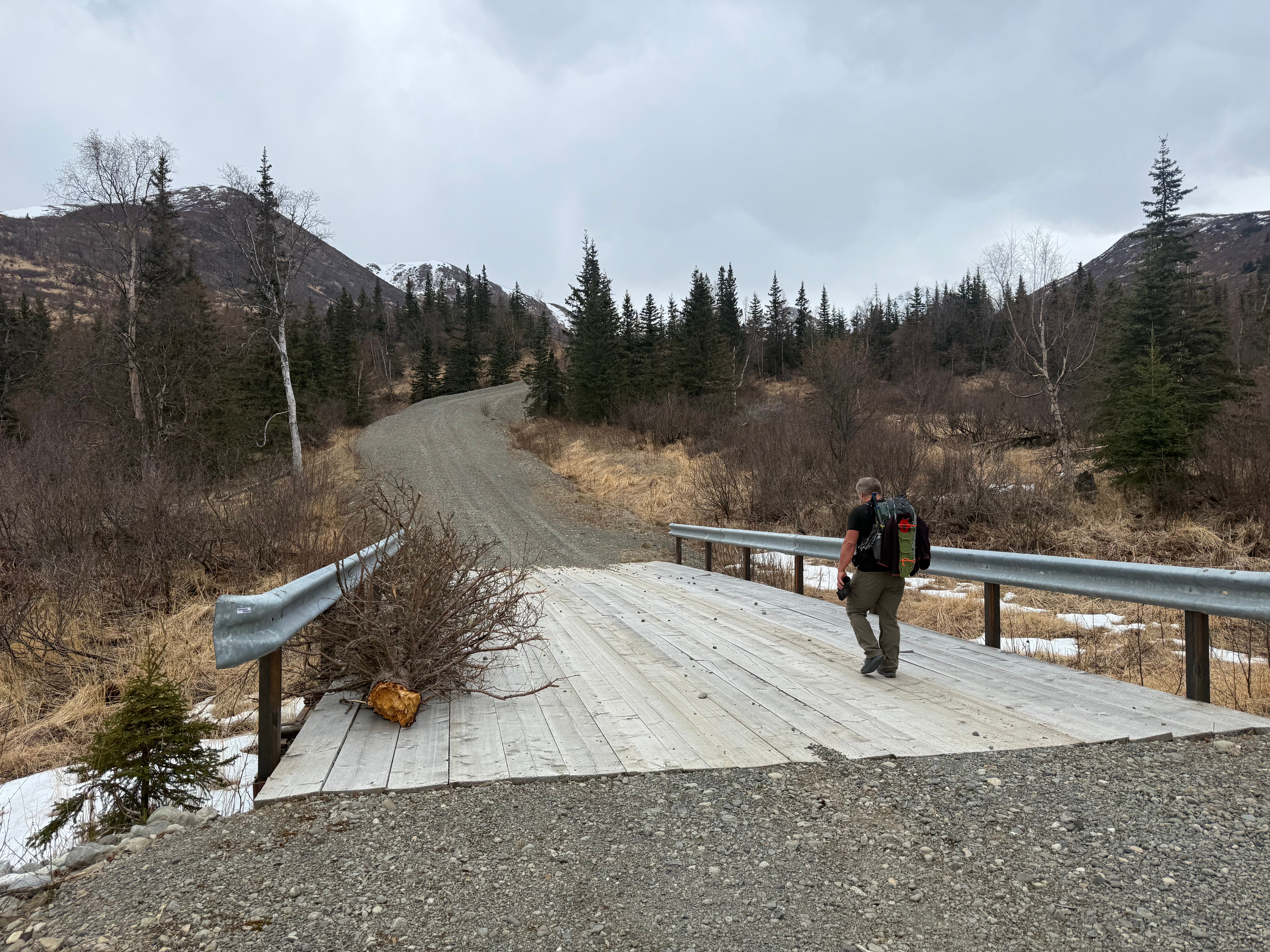
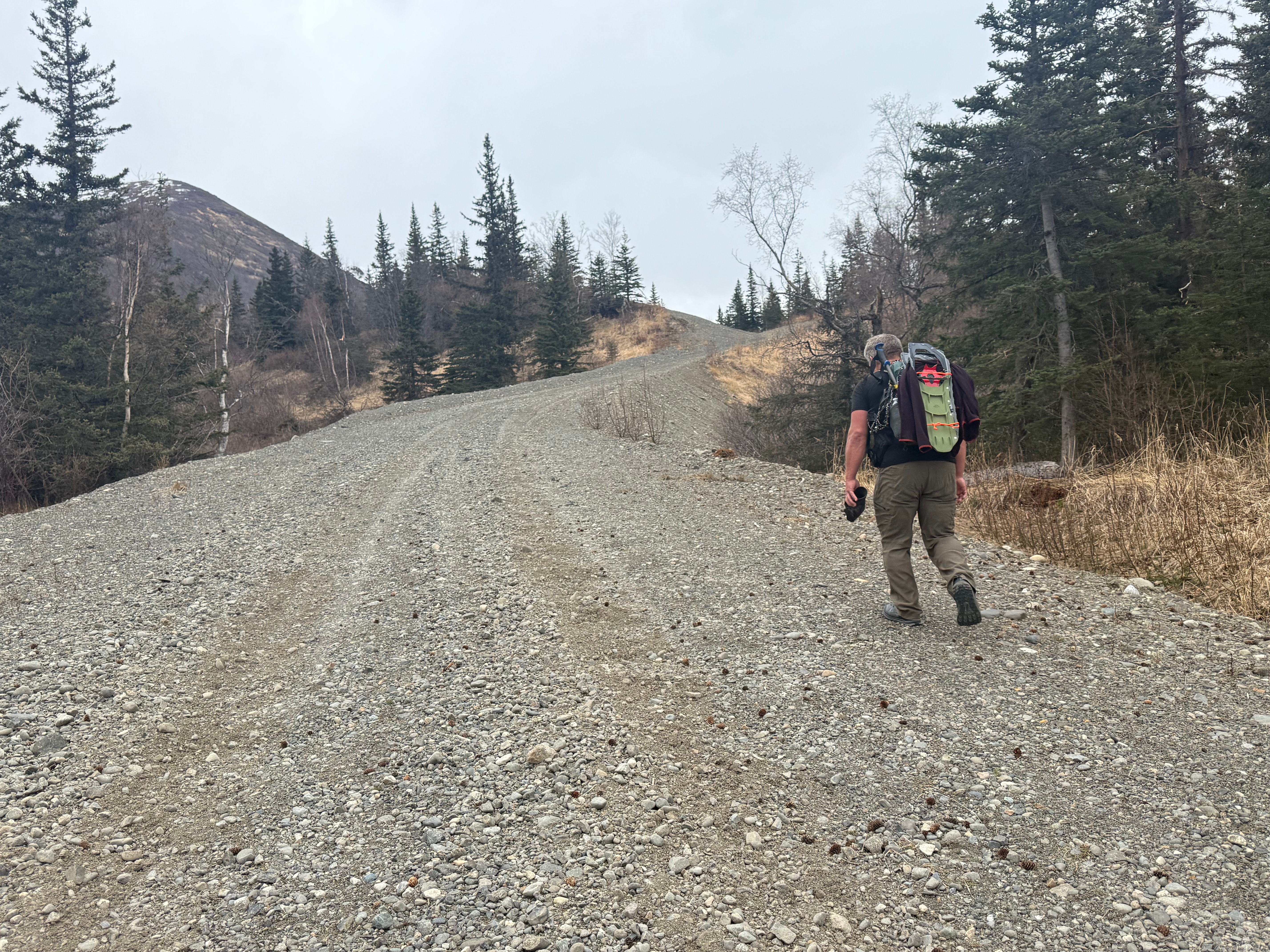
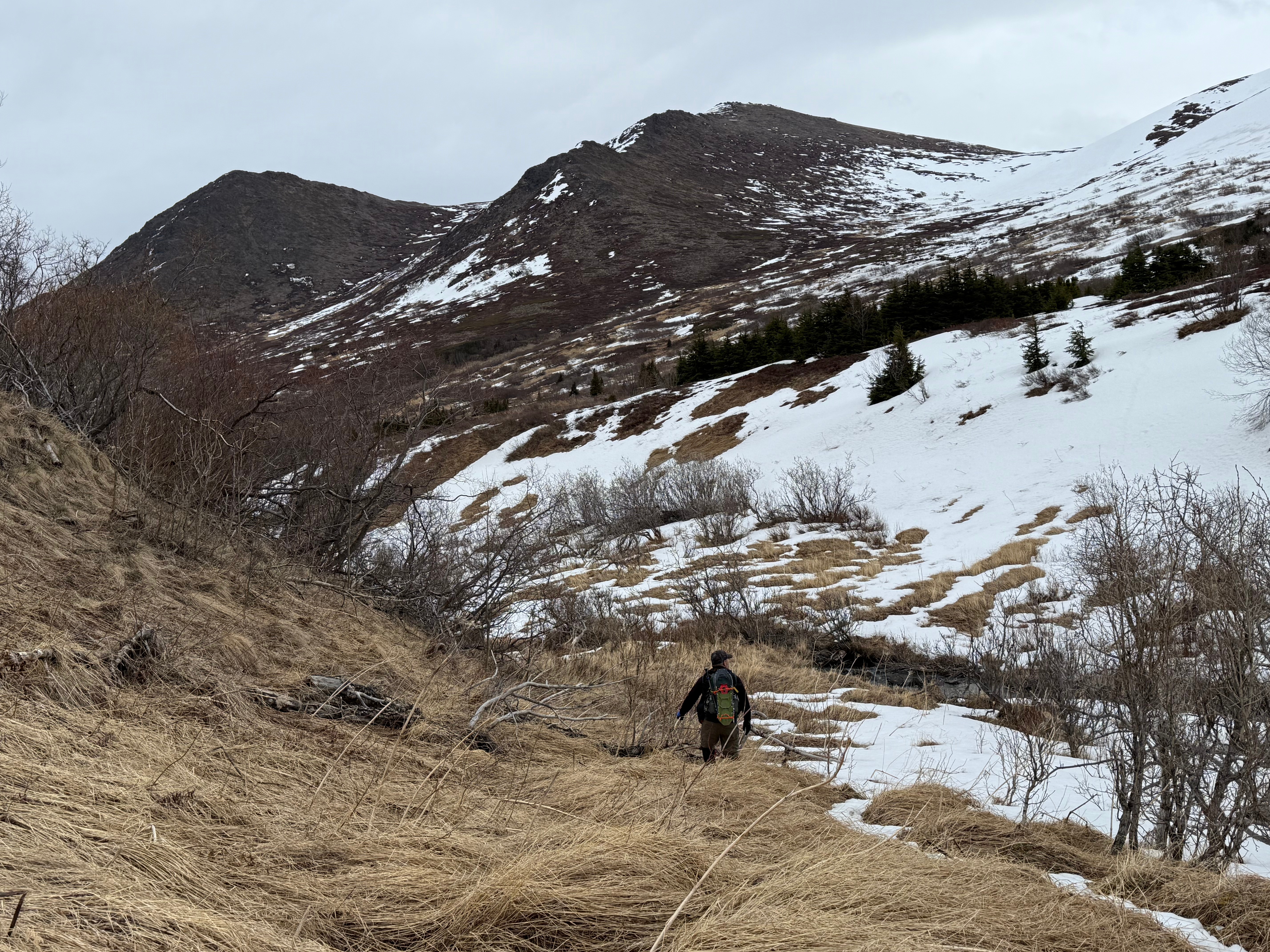
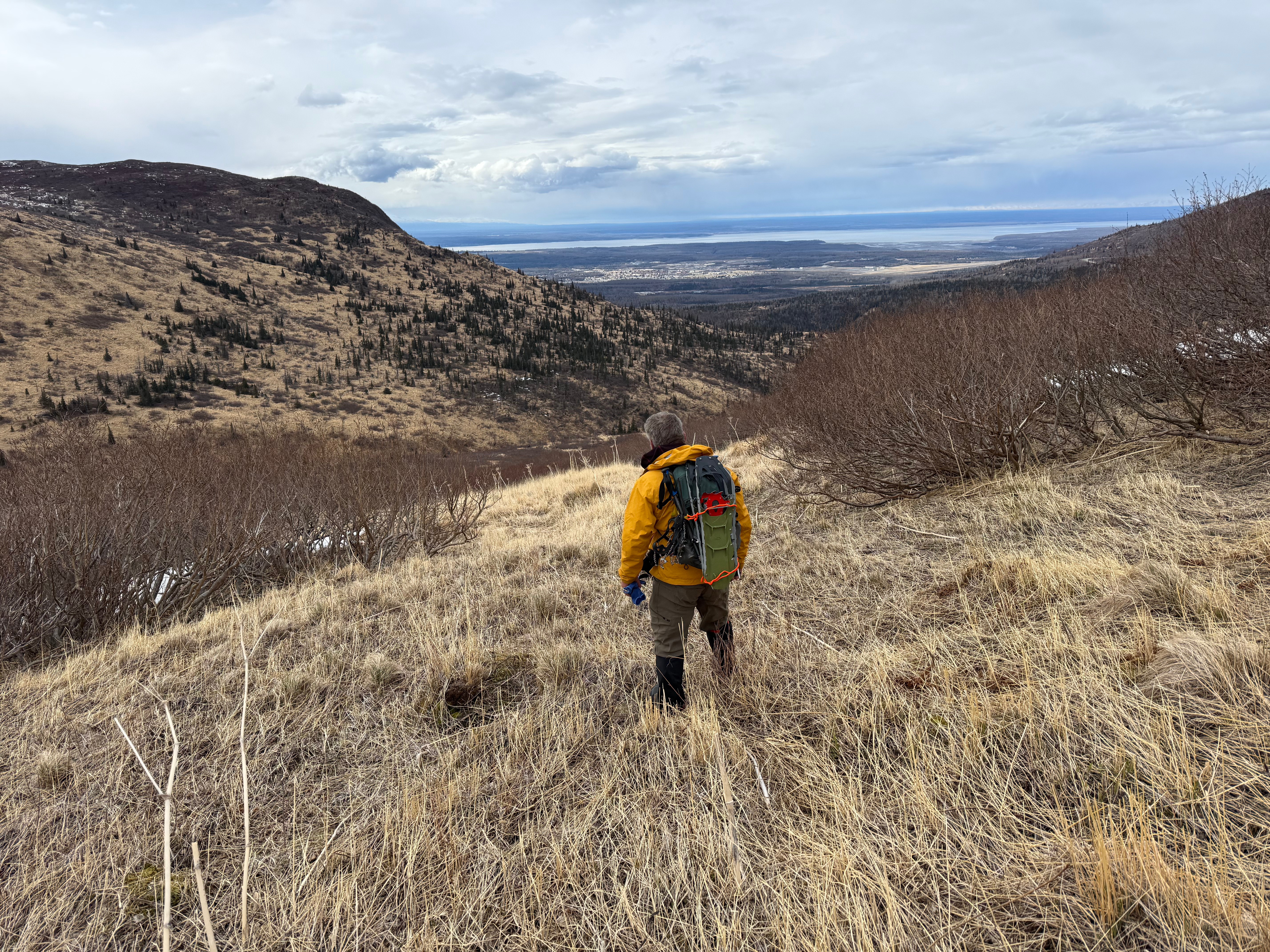
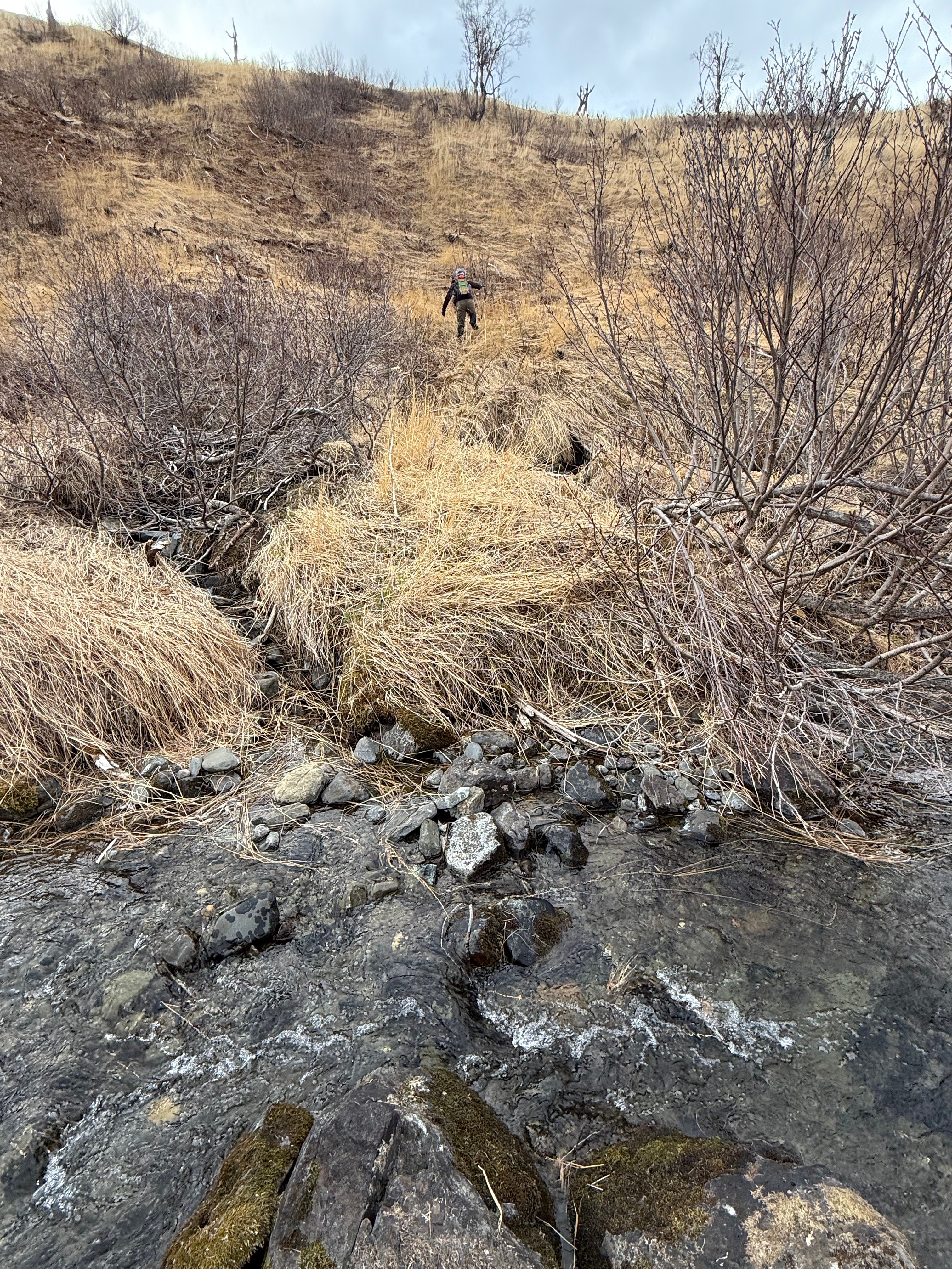
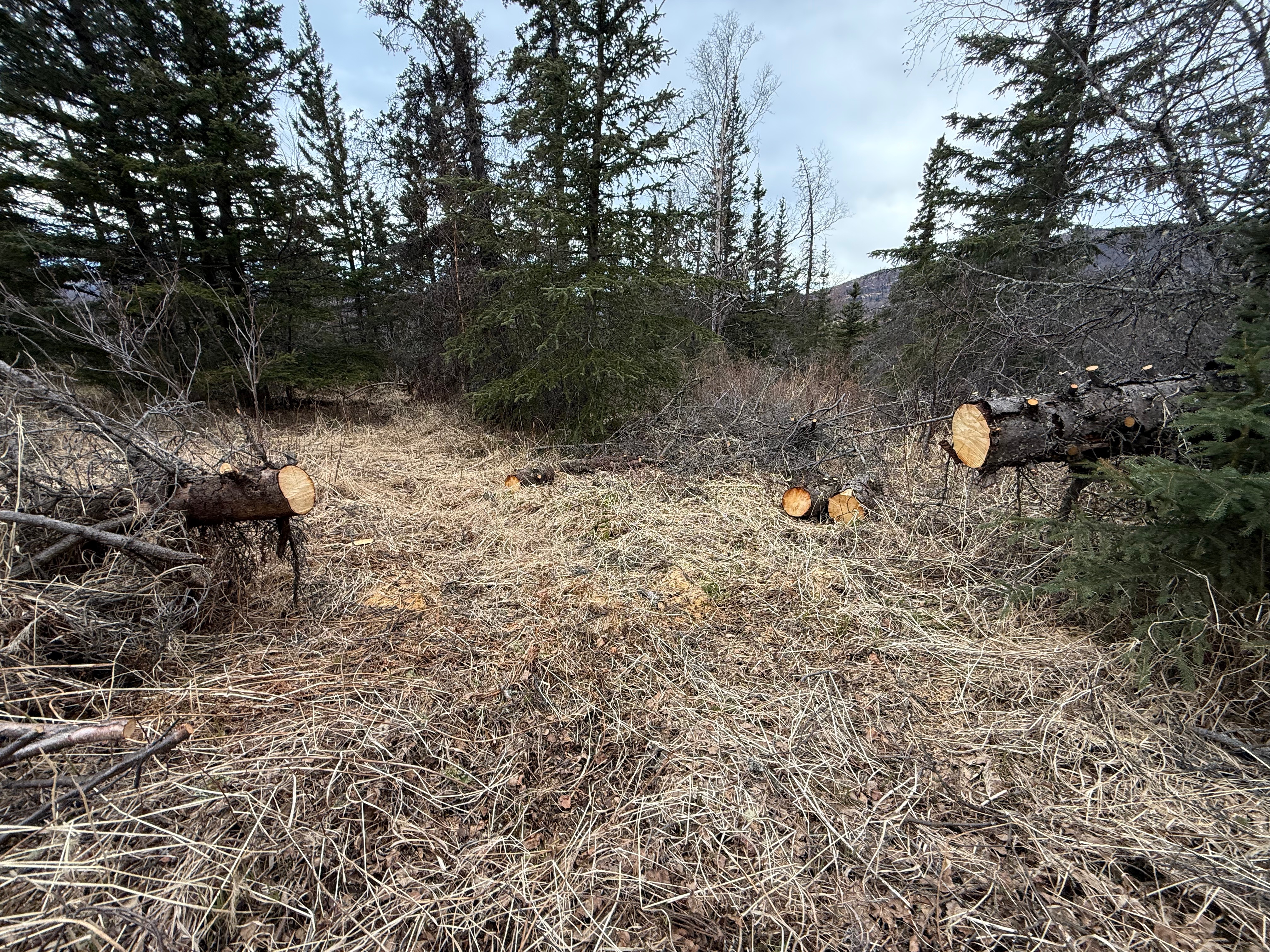
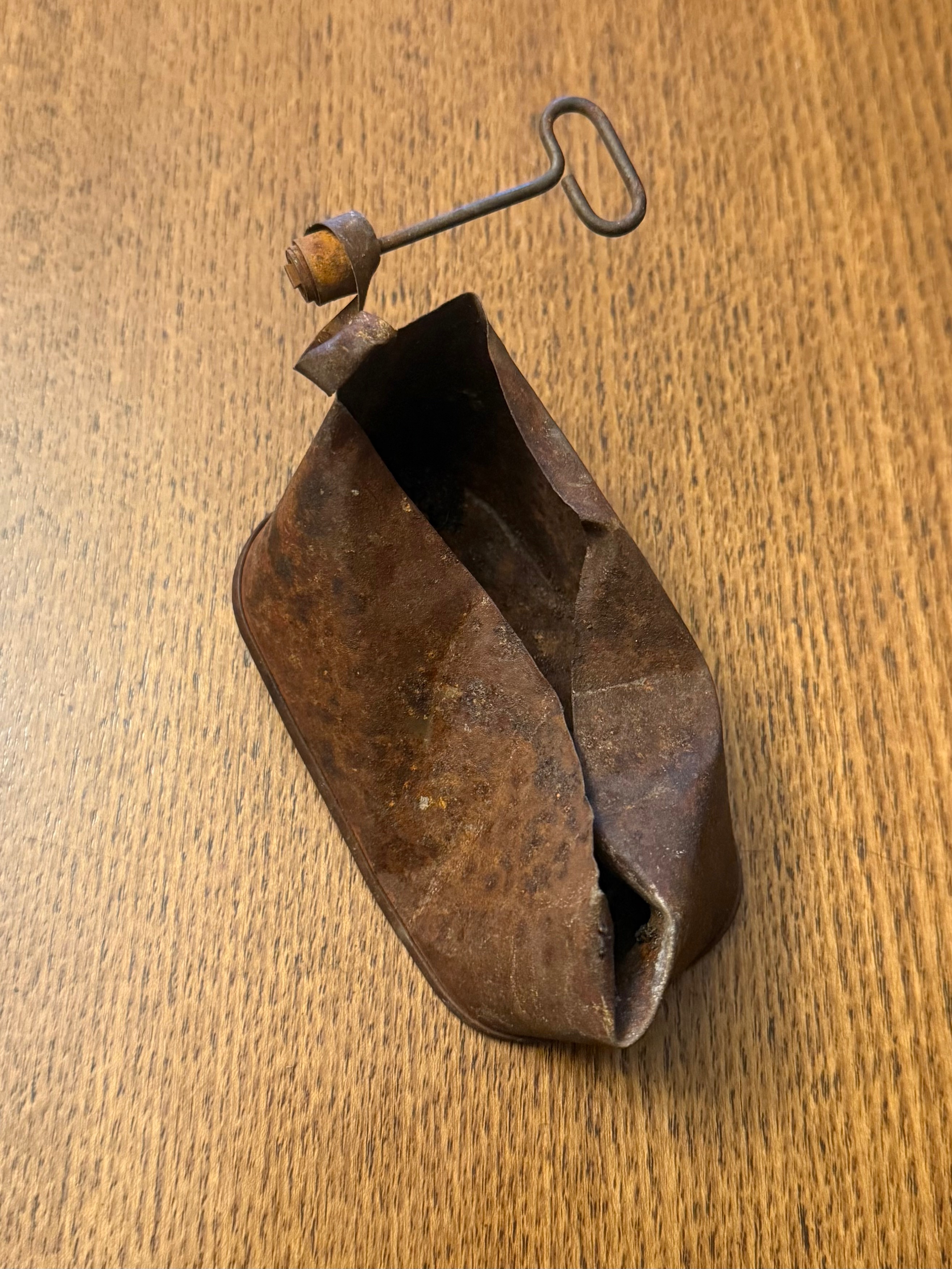
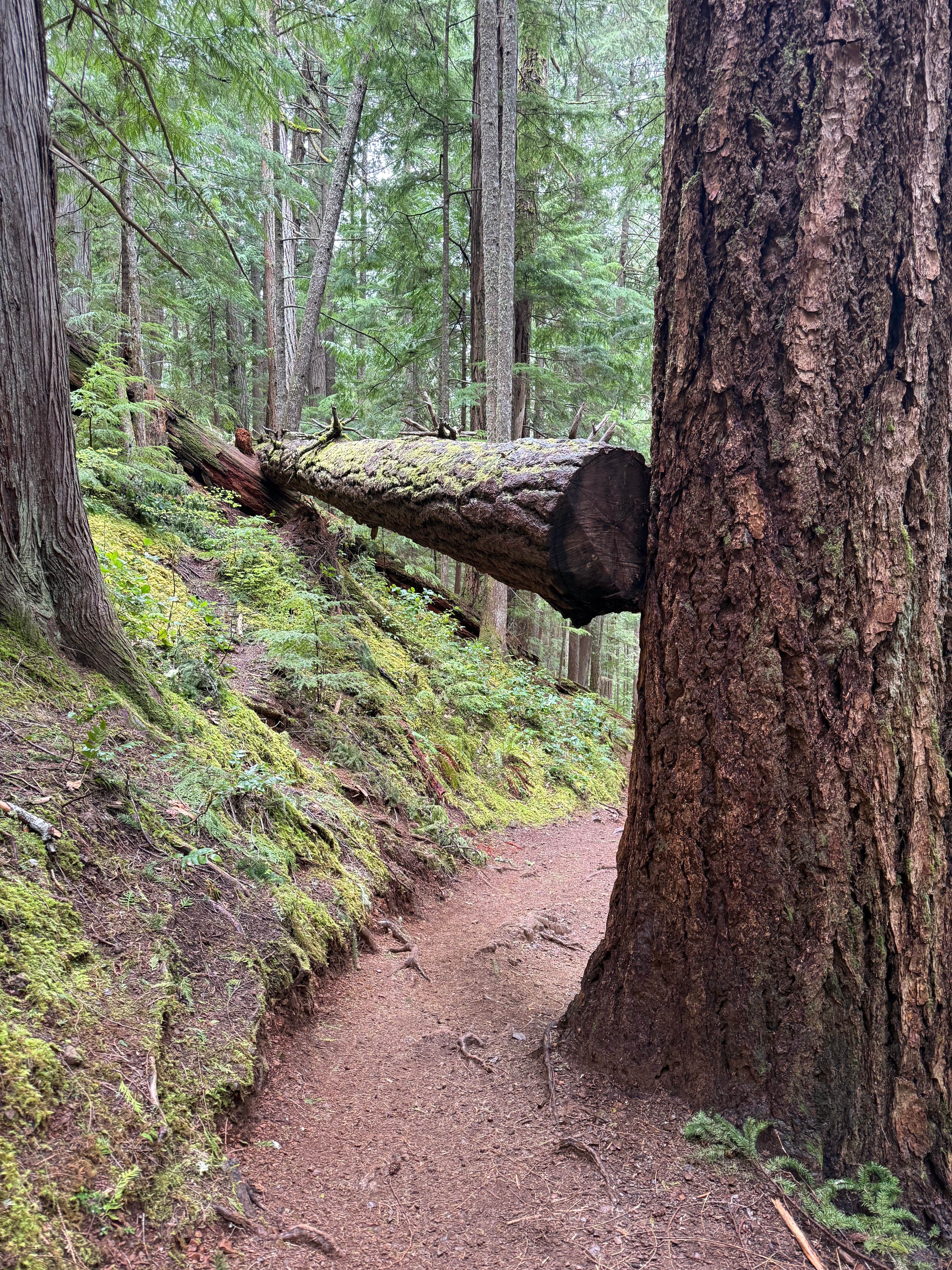
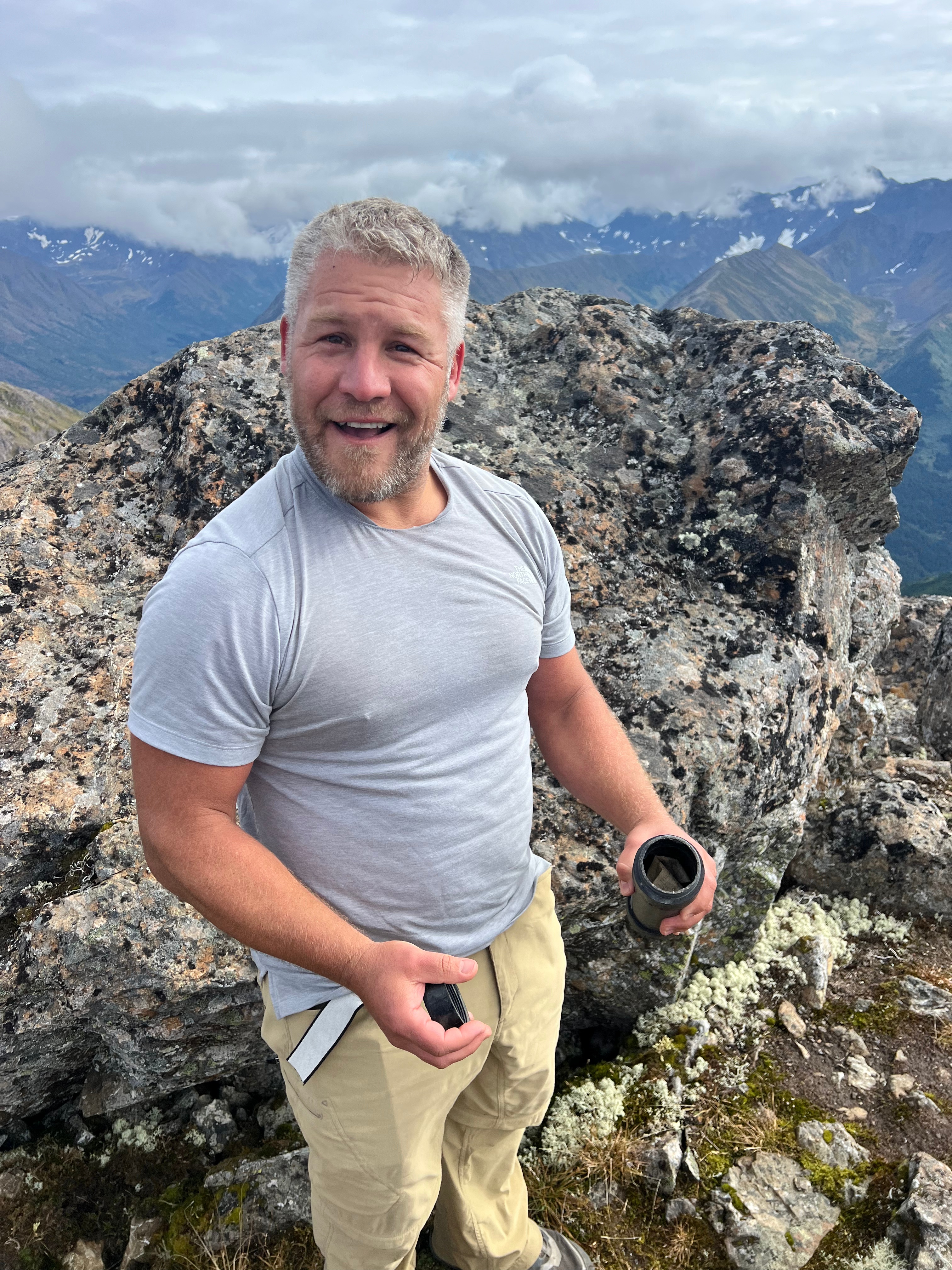
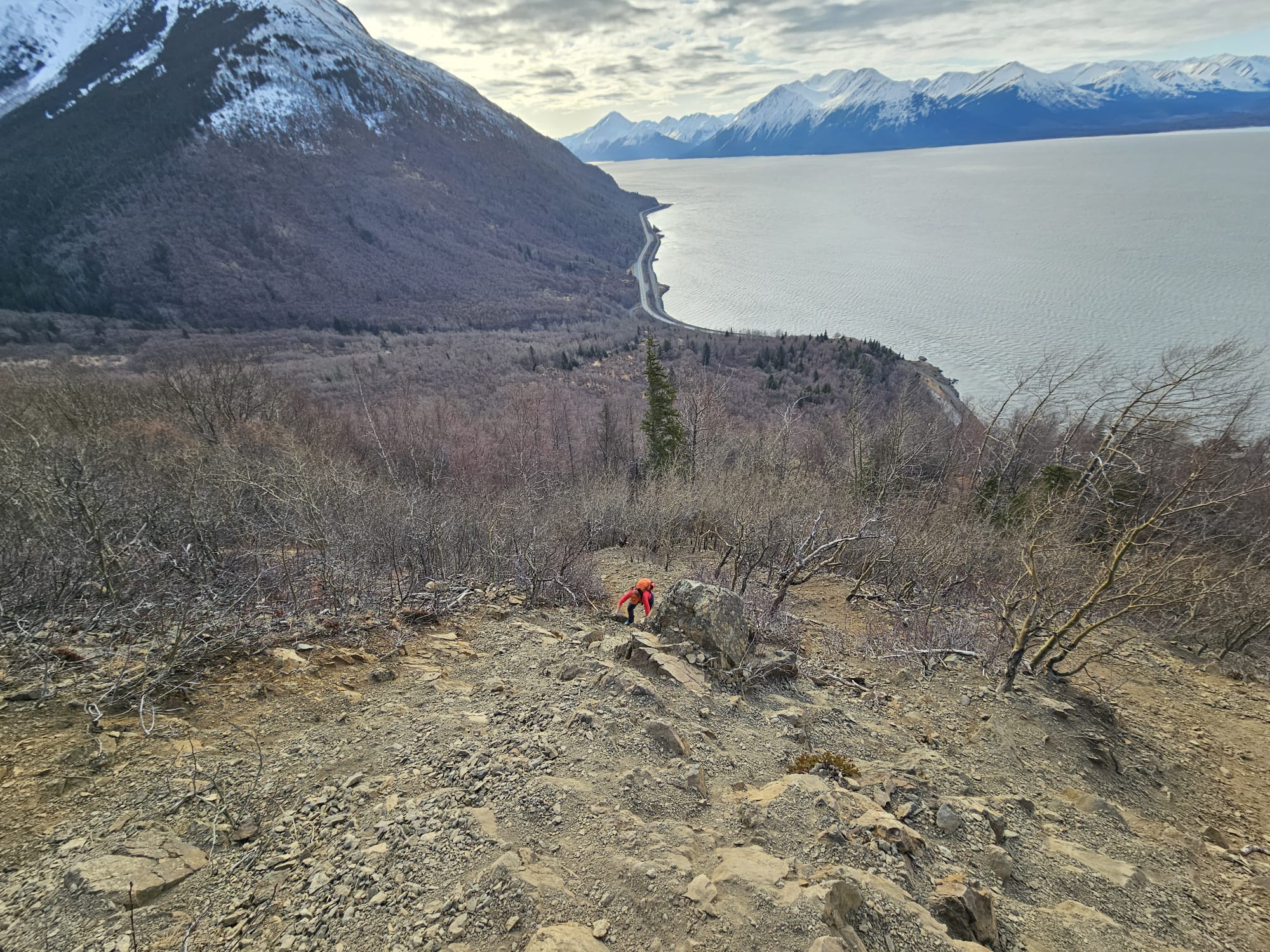
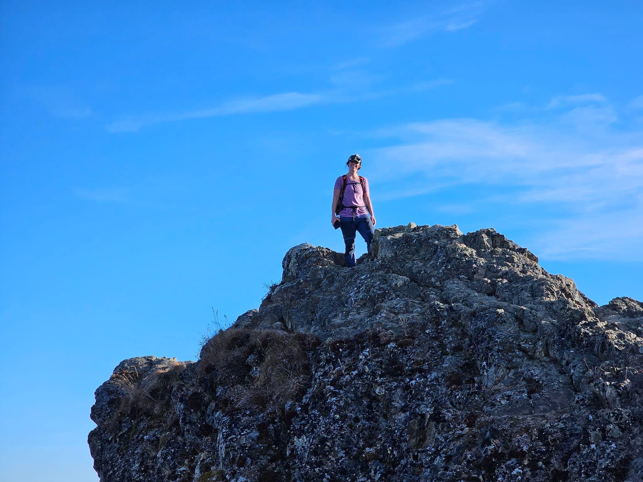
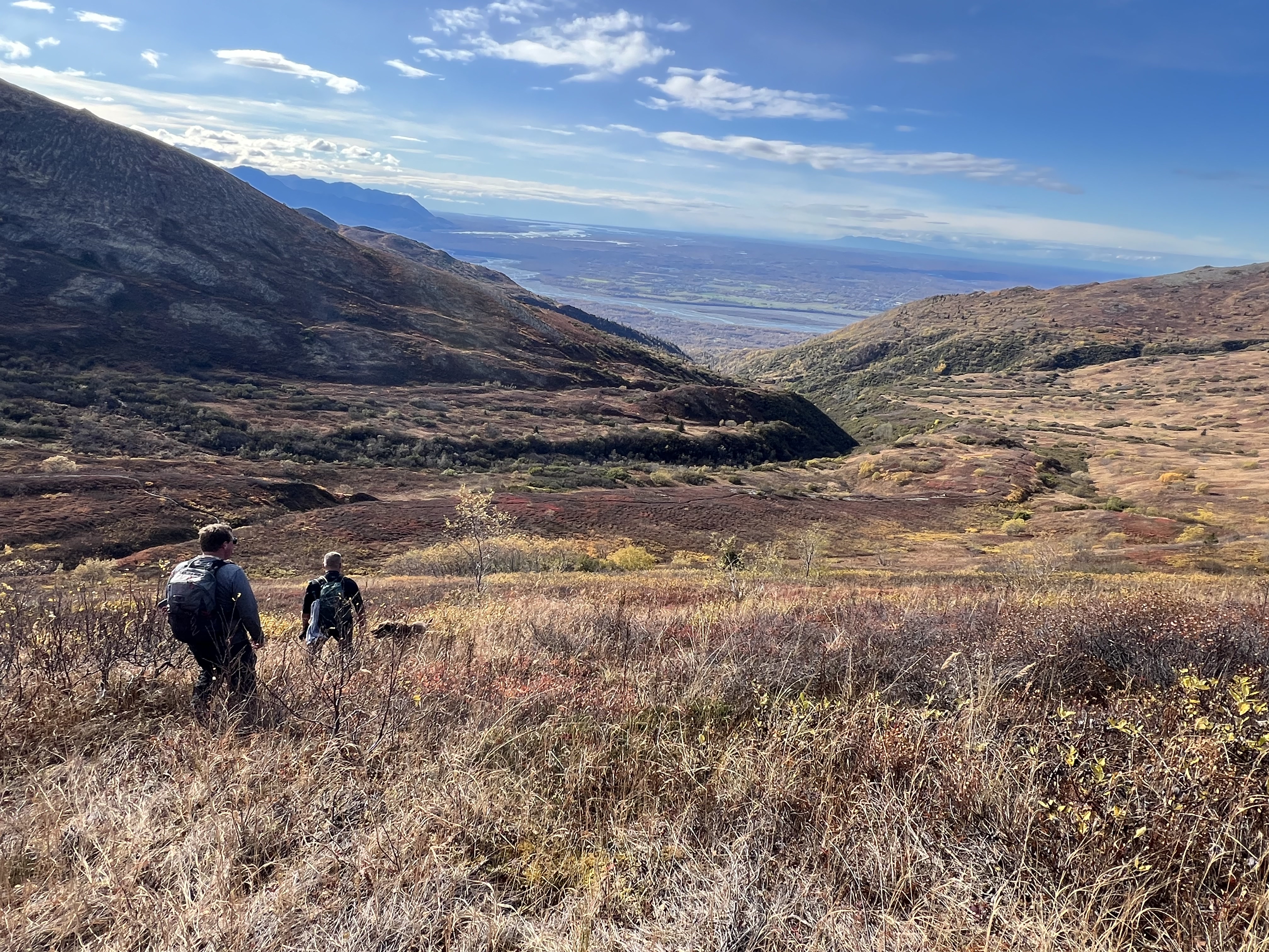
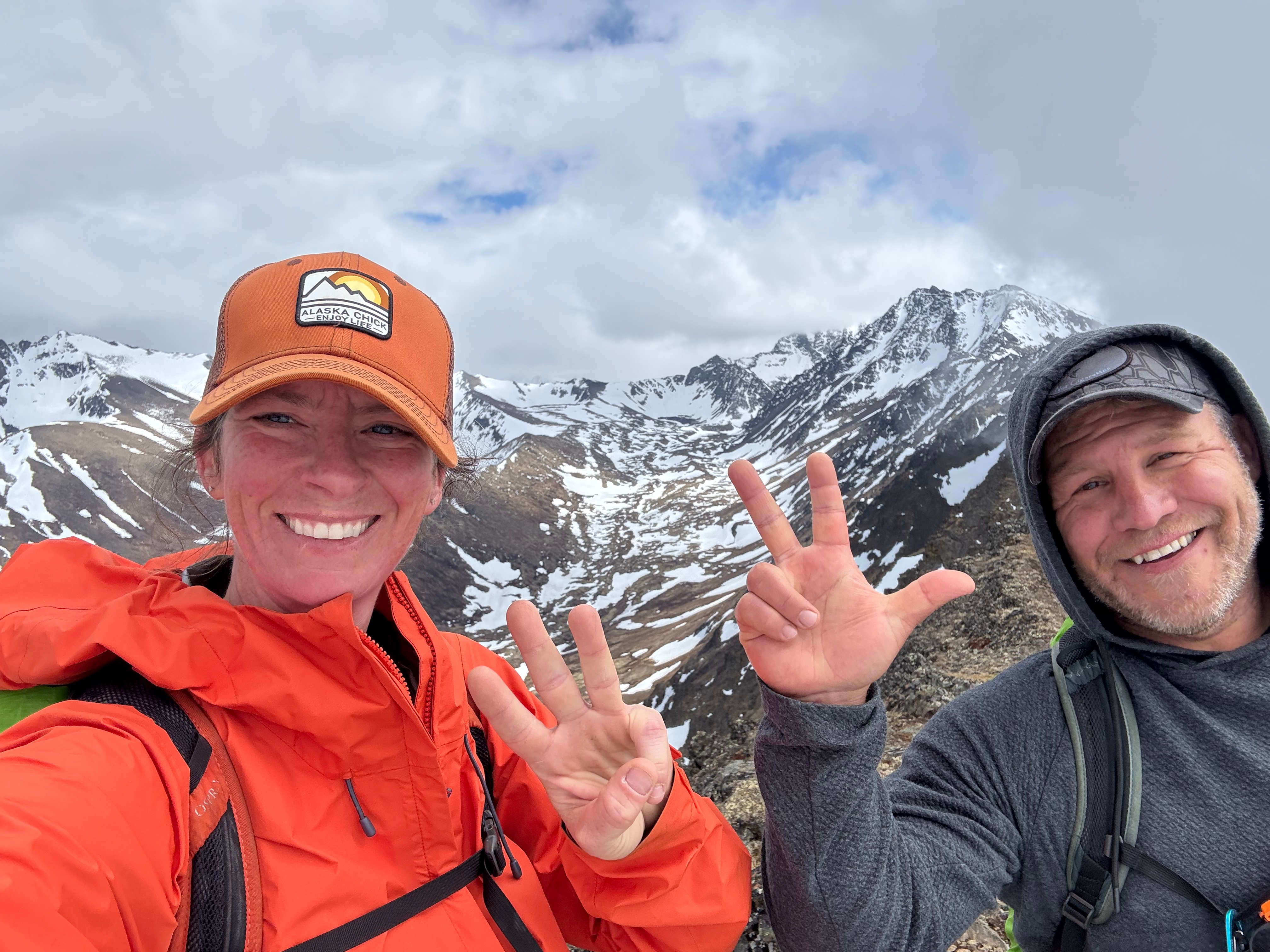
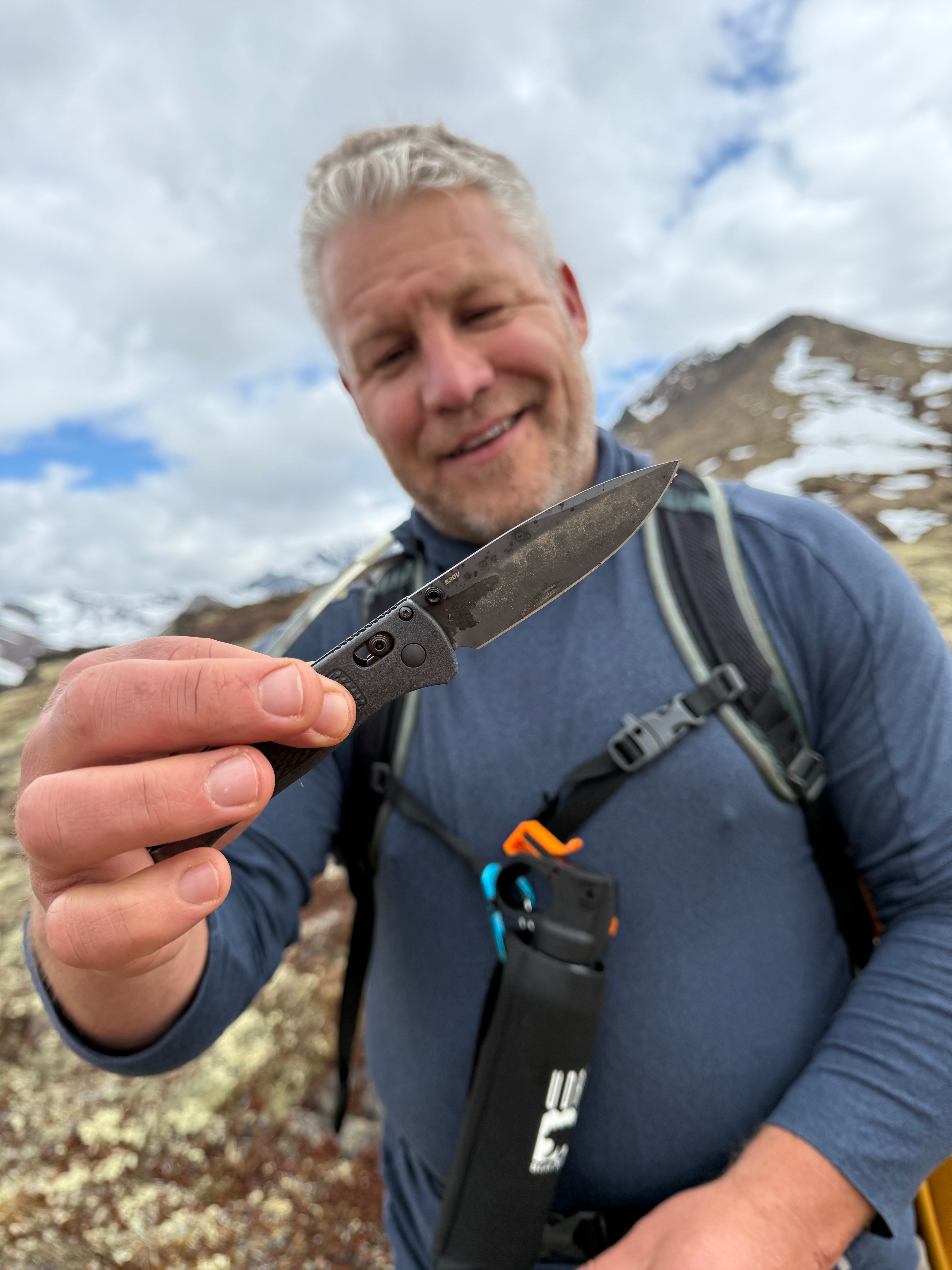
One last summit selfie, and then we descended the ridge toward Snow Hawk Road. It was an uneventful descent—except for Jason finding a nice pocketknife and me discovering a great snow slide.
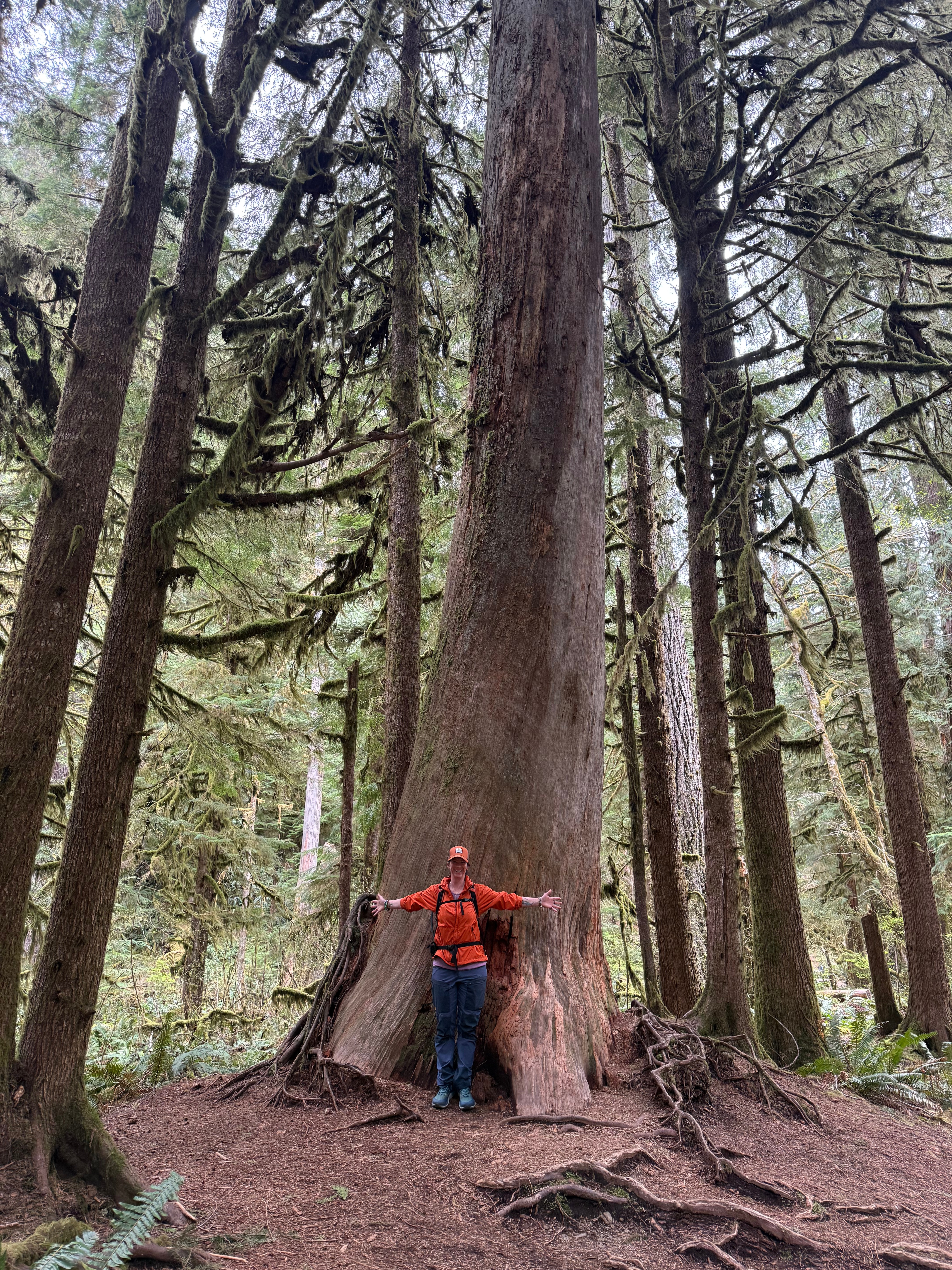
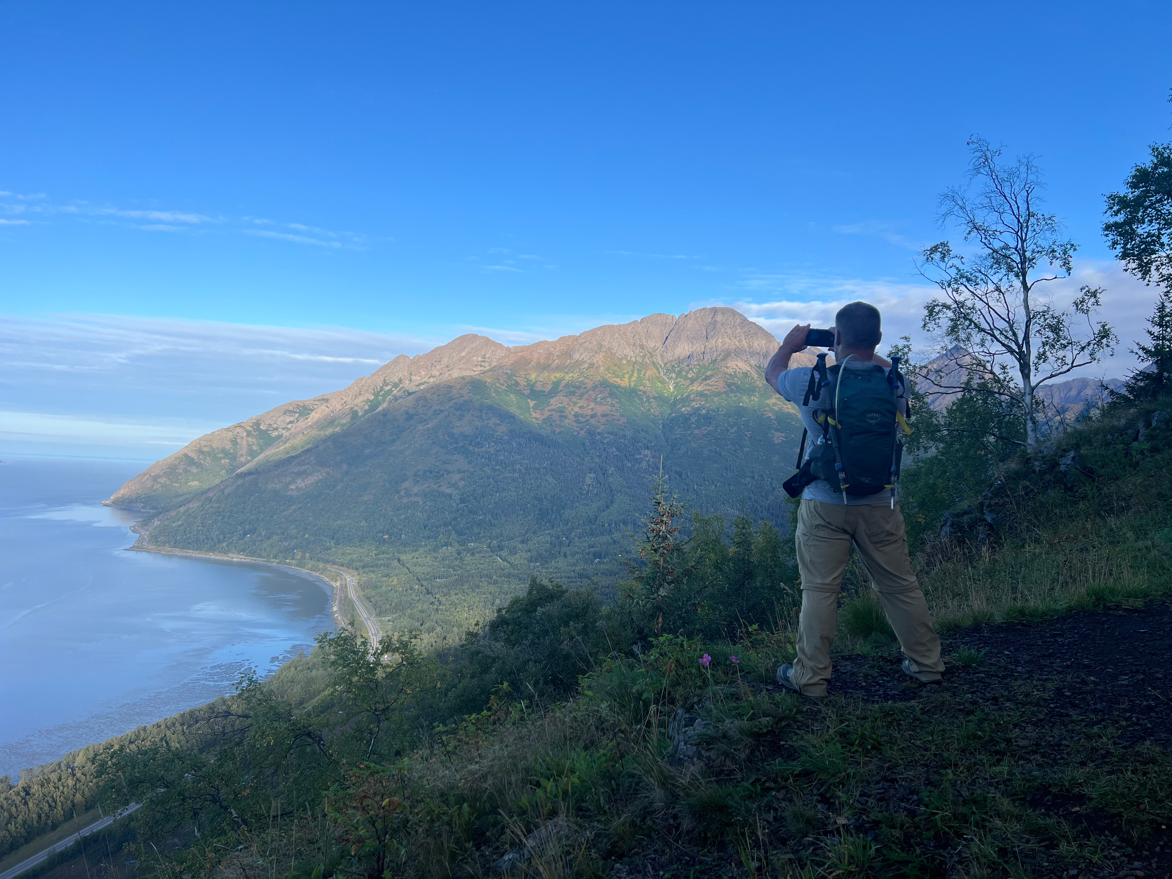
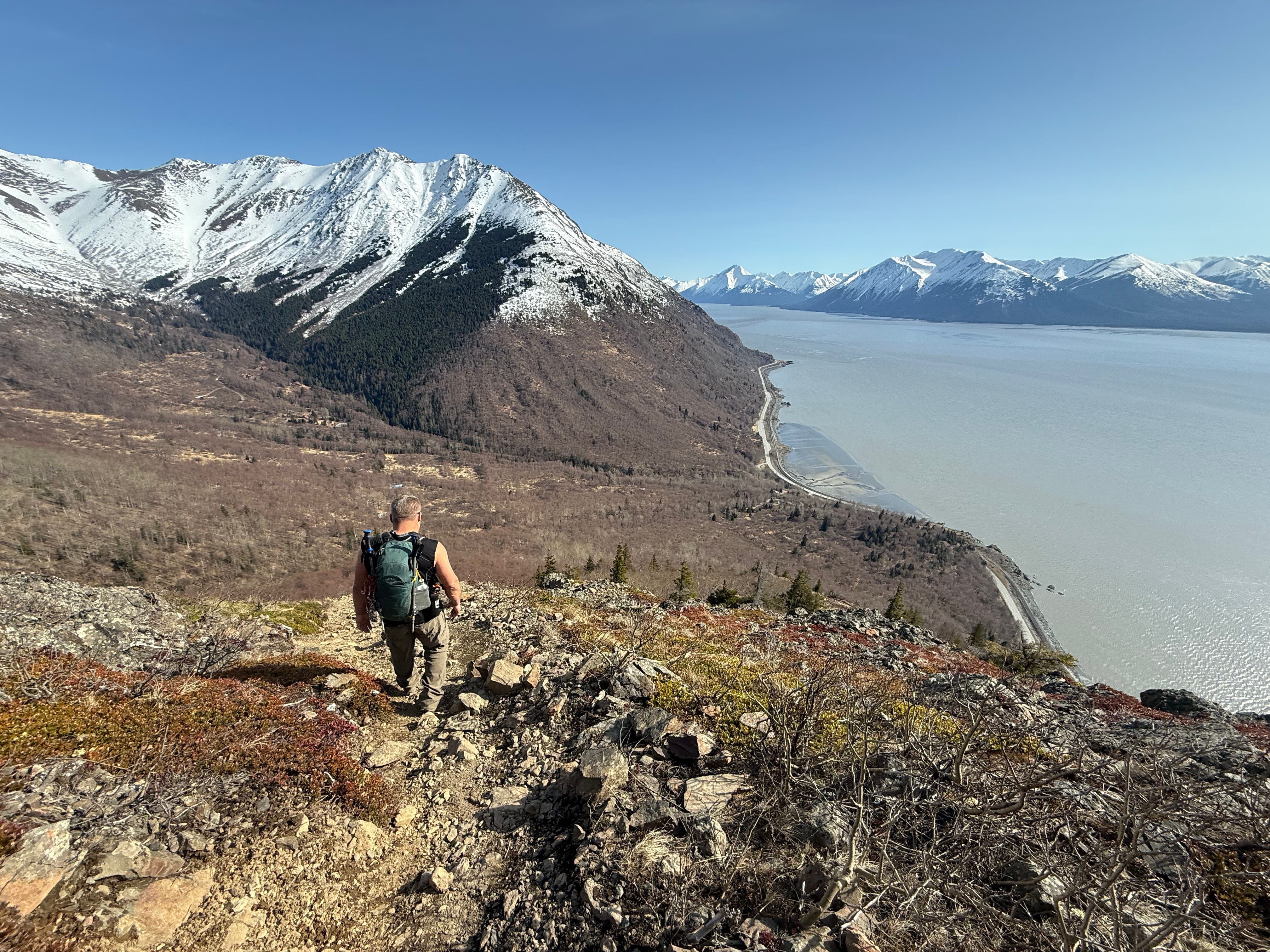
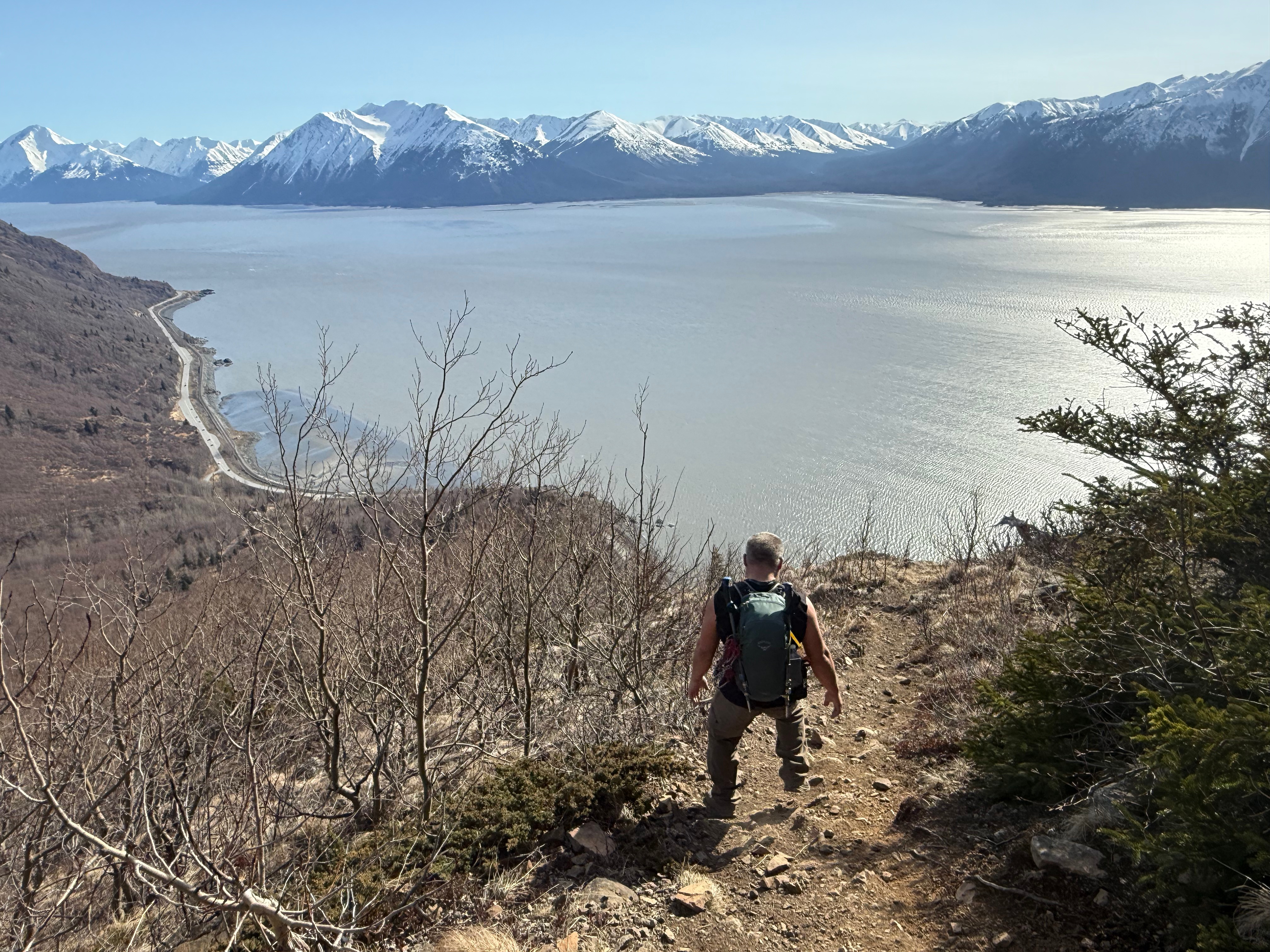
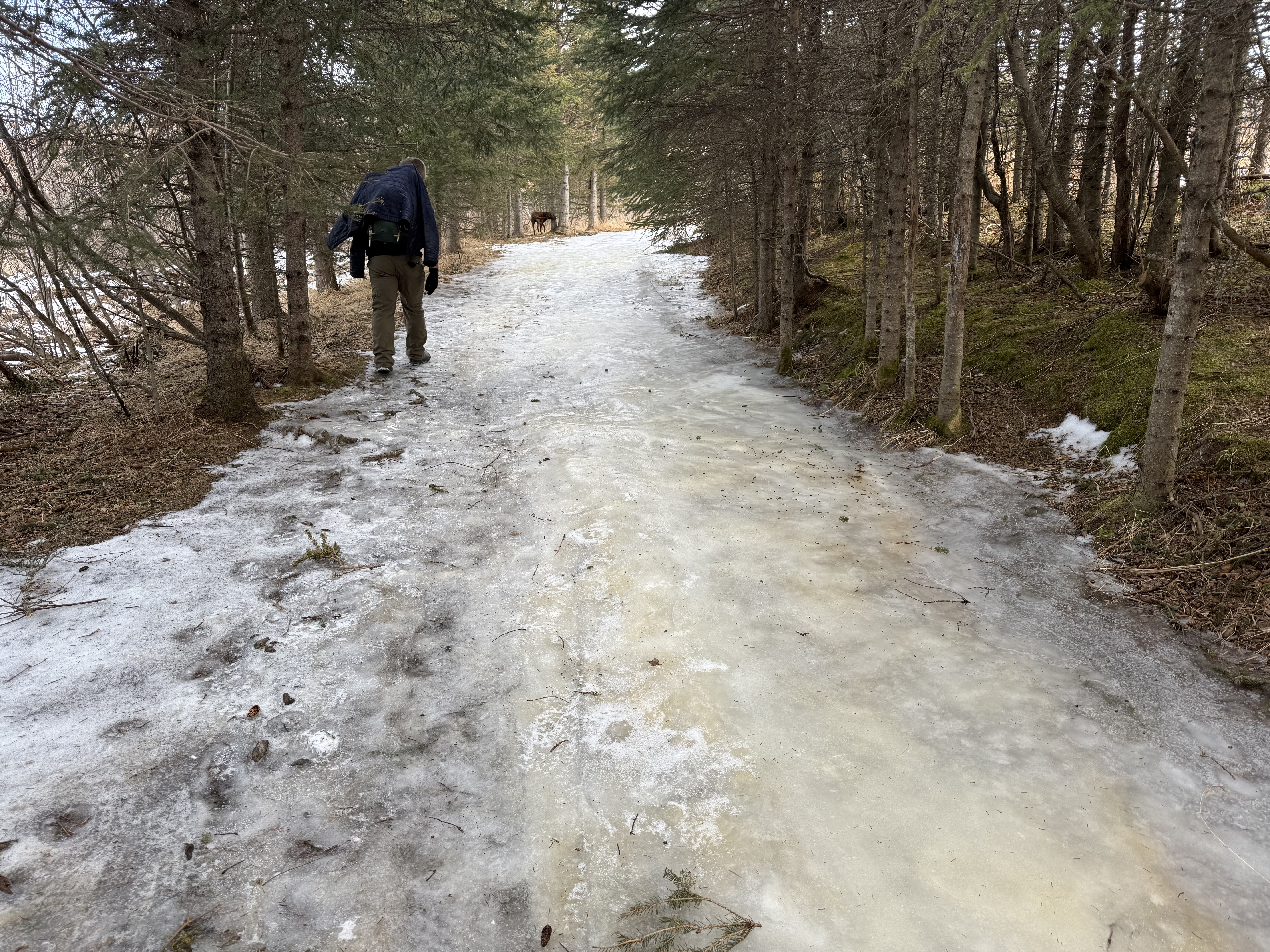
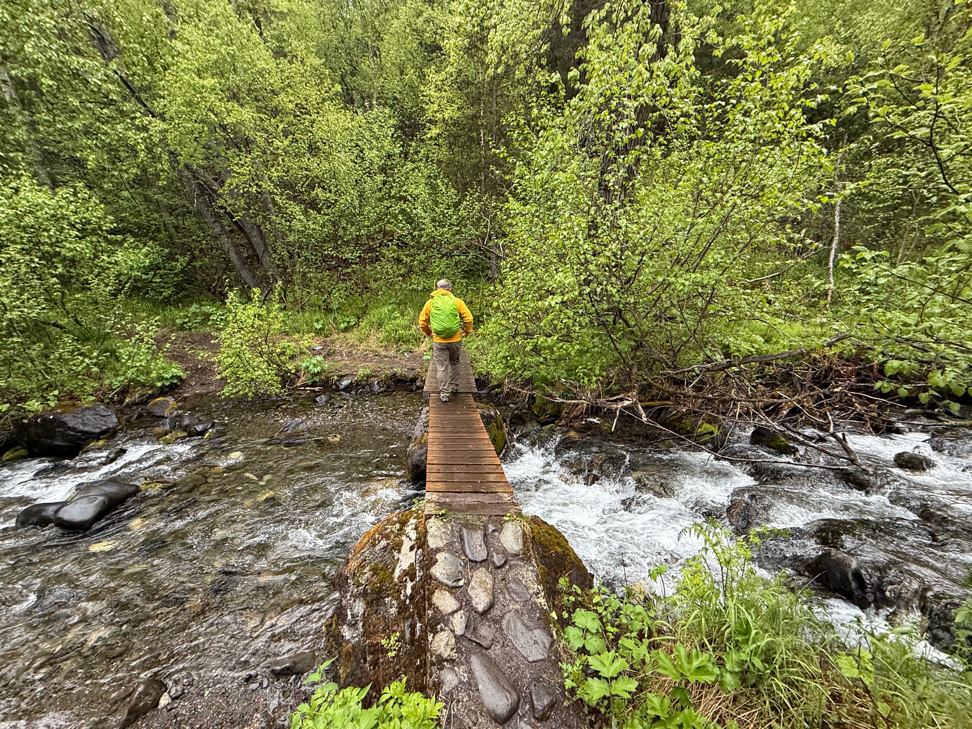
We were on the road within an hour, heading toward the Bulldog Trail and back to the Klutina Trailhead, only stopping to watch a good-sized porcupine climb a tree. The lower we got, the sunnier and hotter it became—a fine reward for a day that had started so dreary.
I took one last look back at the ridgeline I’d long wanted to hike, filled with that deeply satisfying feeling of truly knowing a place.

The Dome, Knoya, Kanchee, Nunaka Point Peakbagger Links:

Just the Tips:
- There is very little exposure on this ridge walk, but the weather can change quickly. Be prepared.
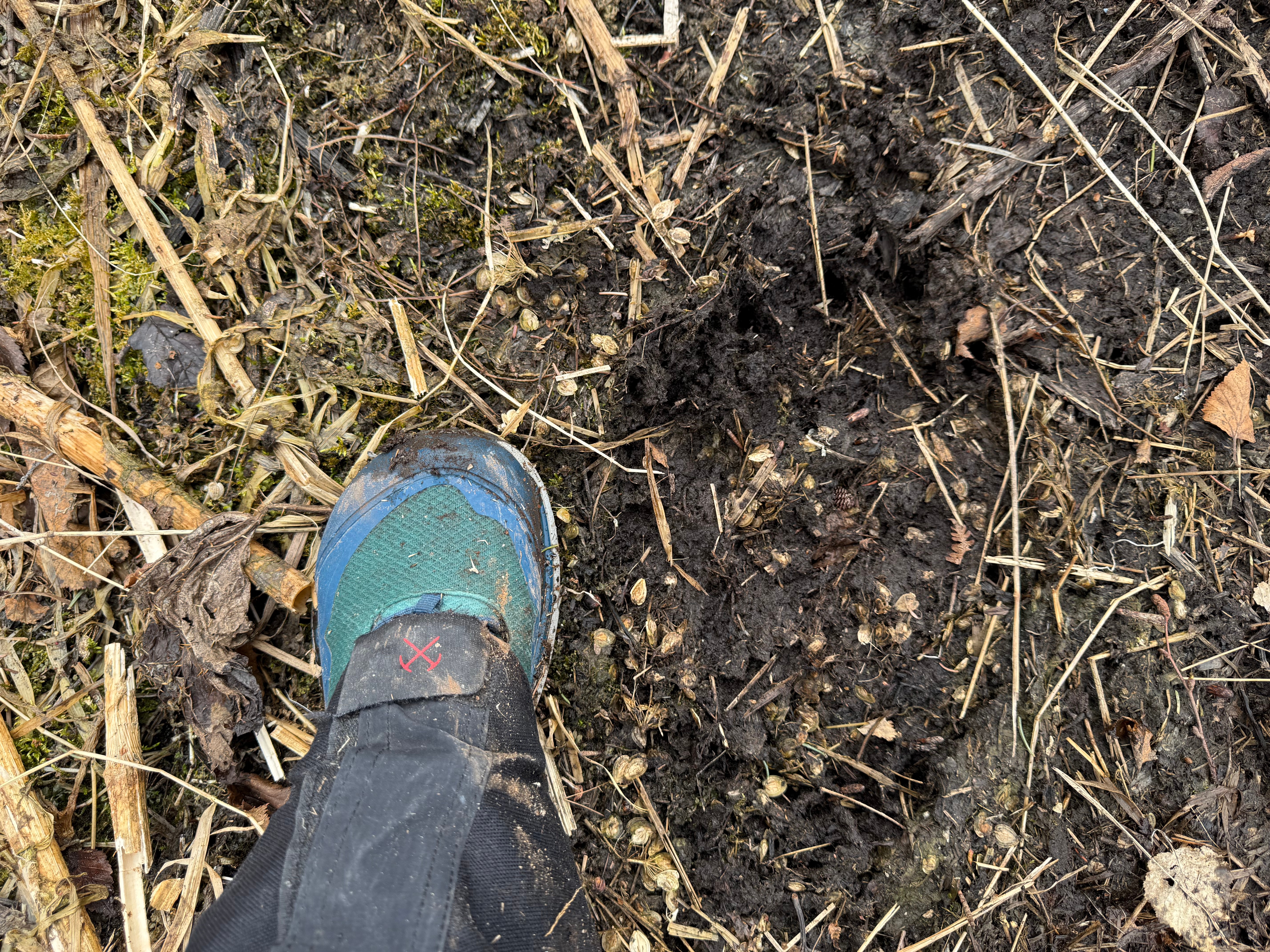
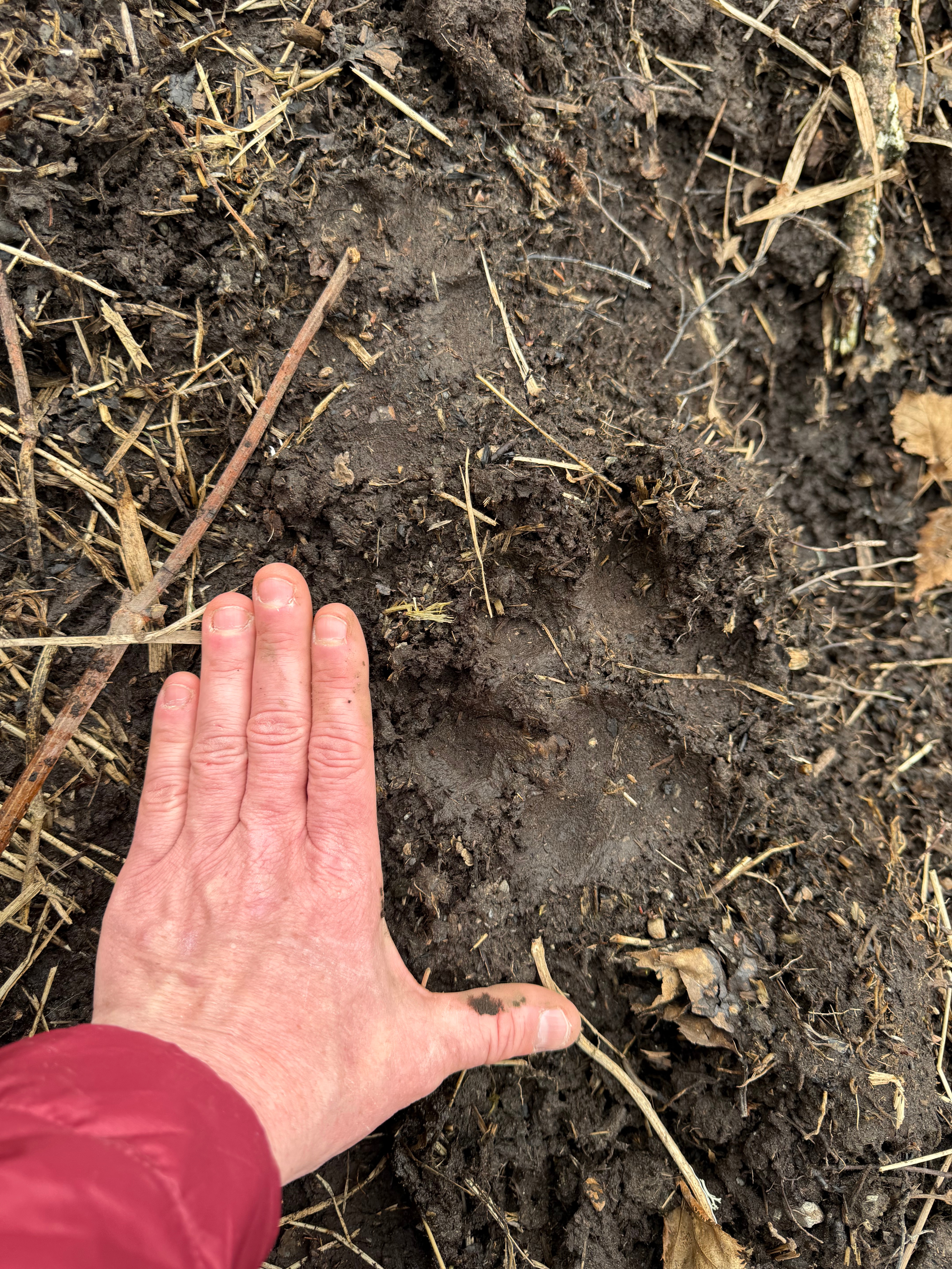
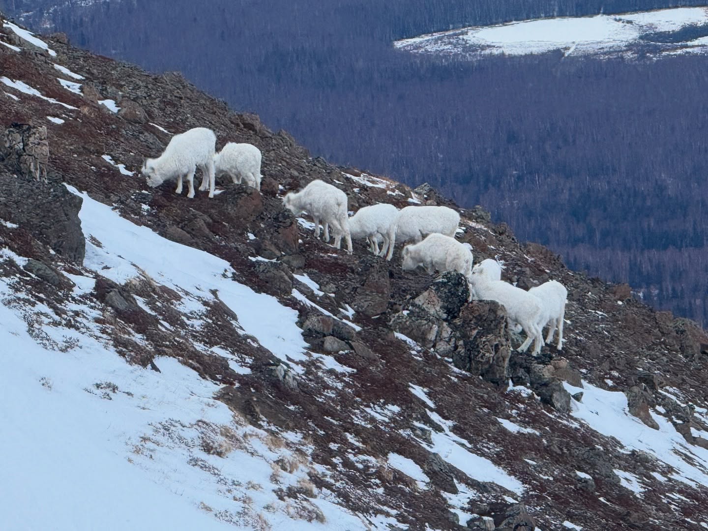
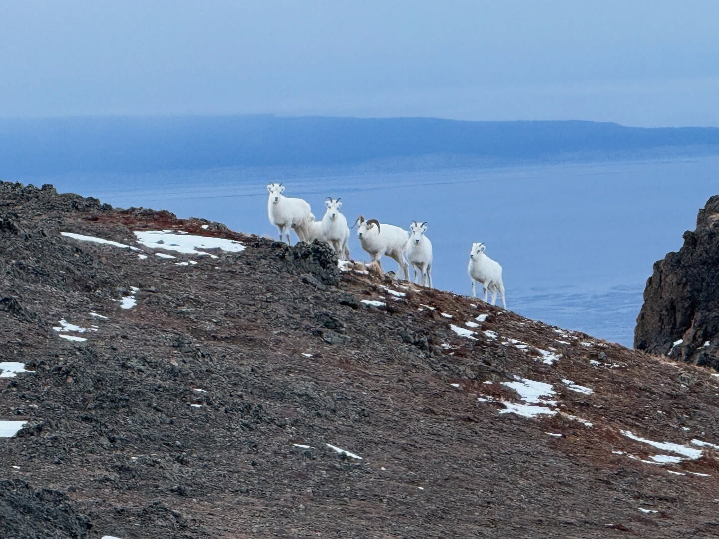
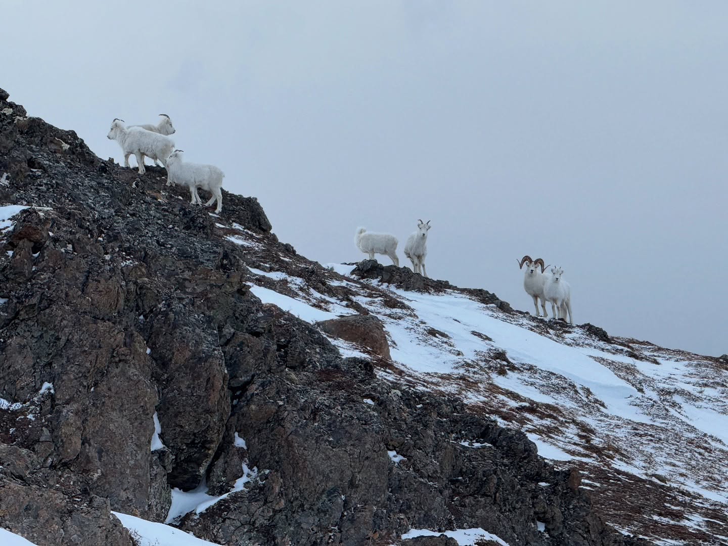
- Be bear aware.
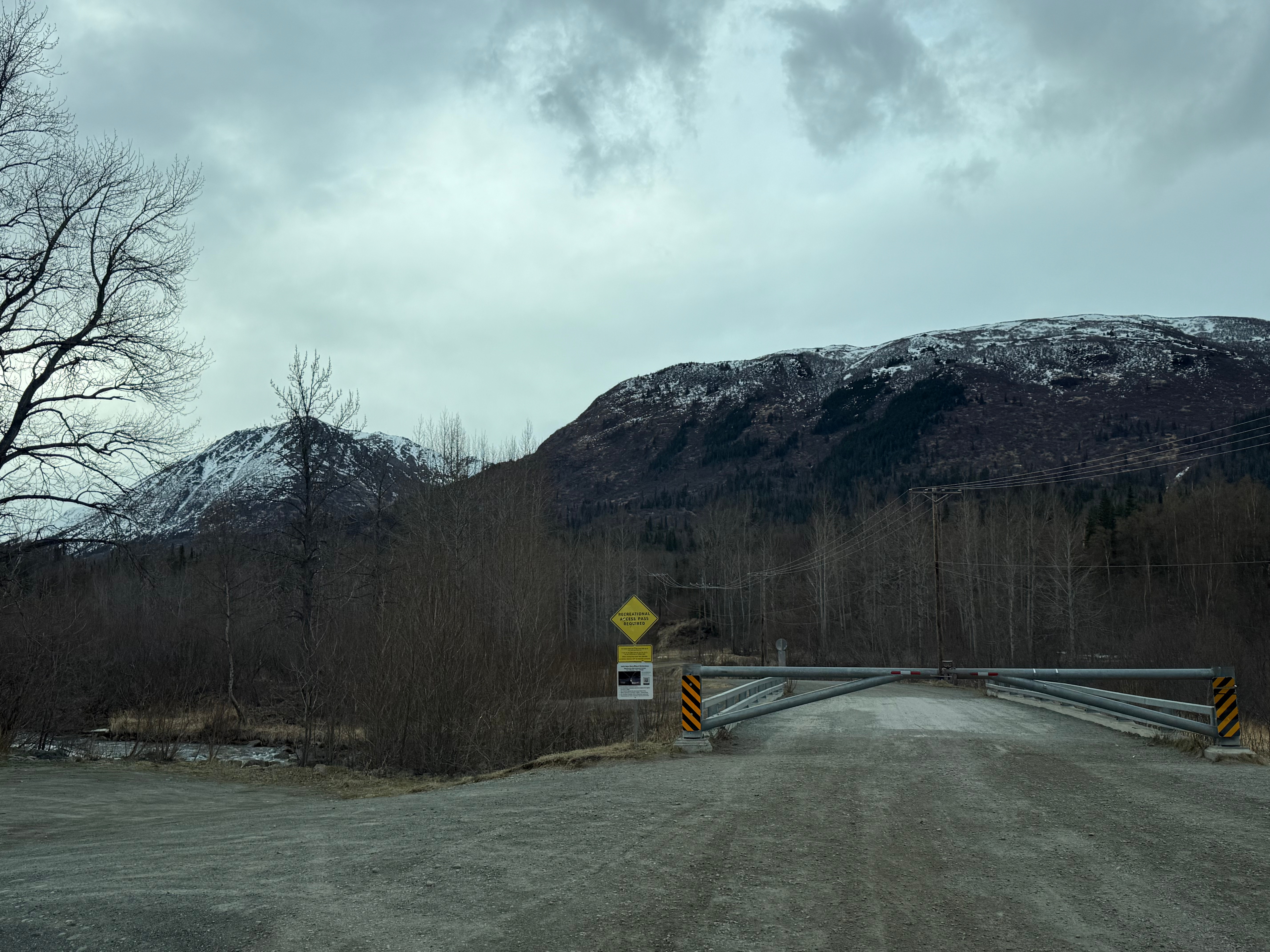
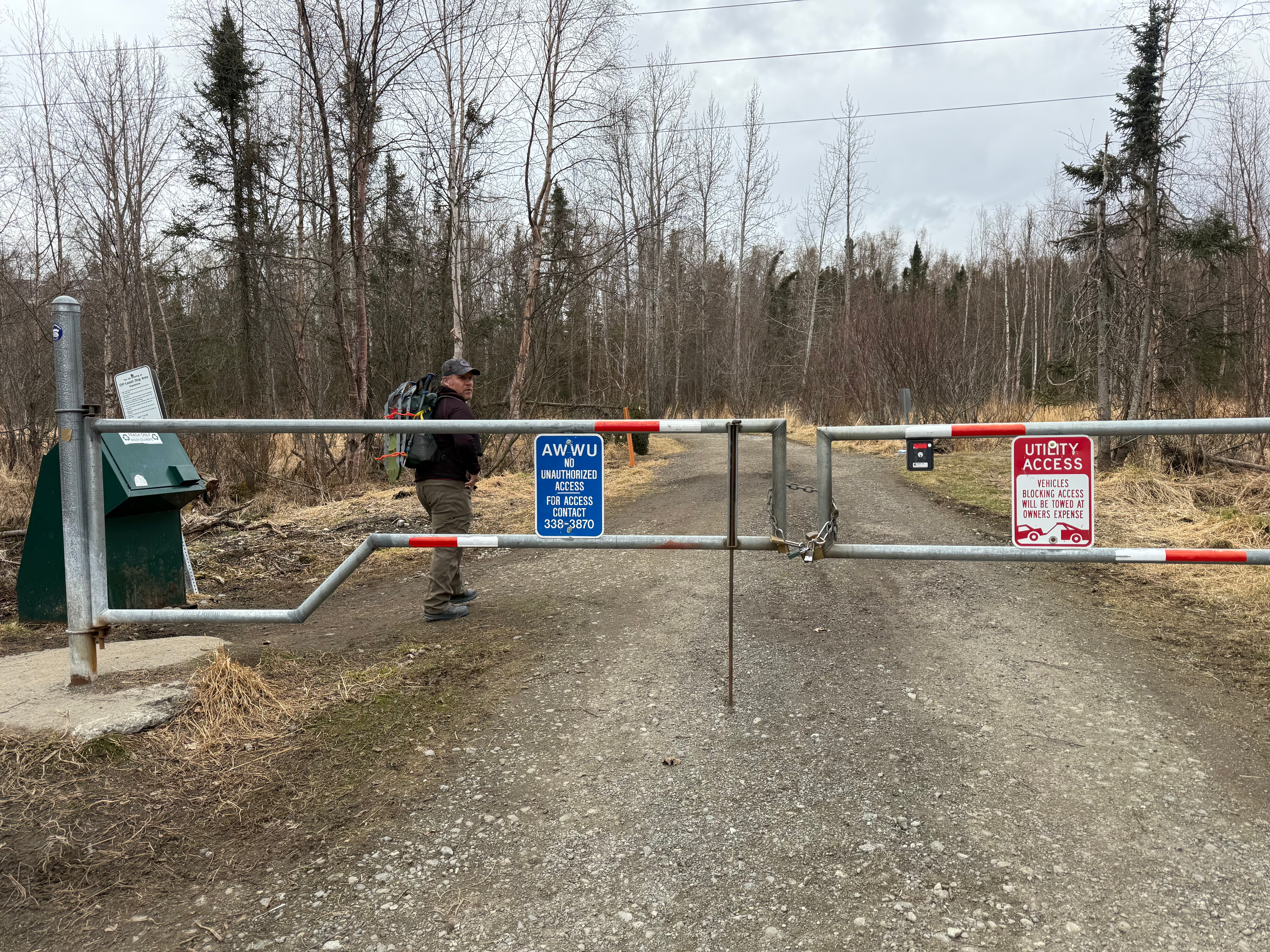
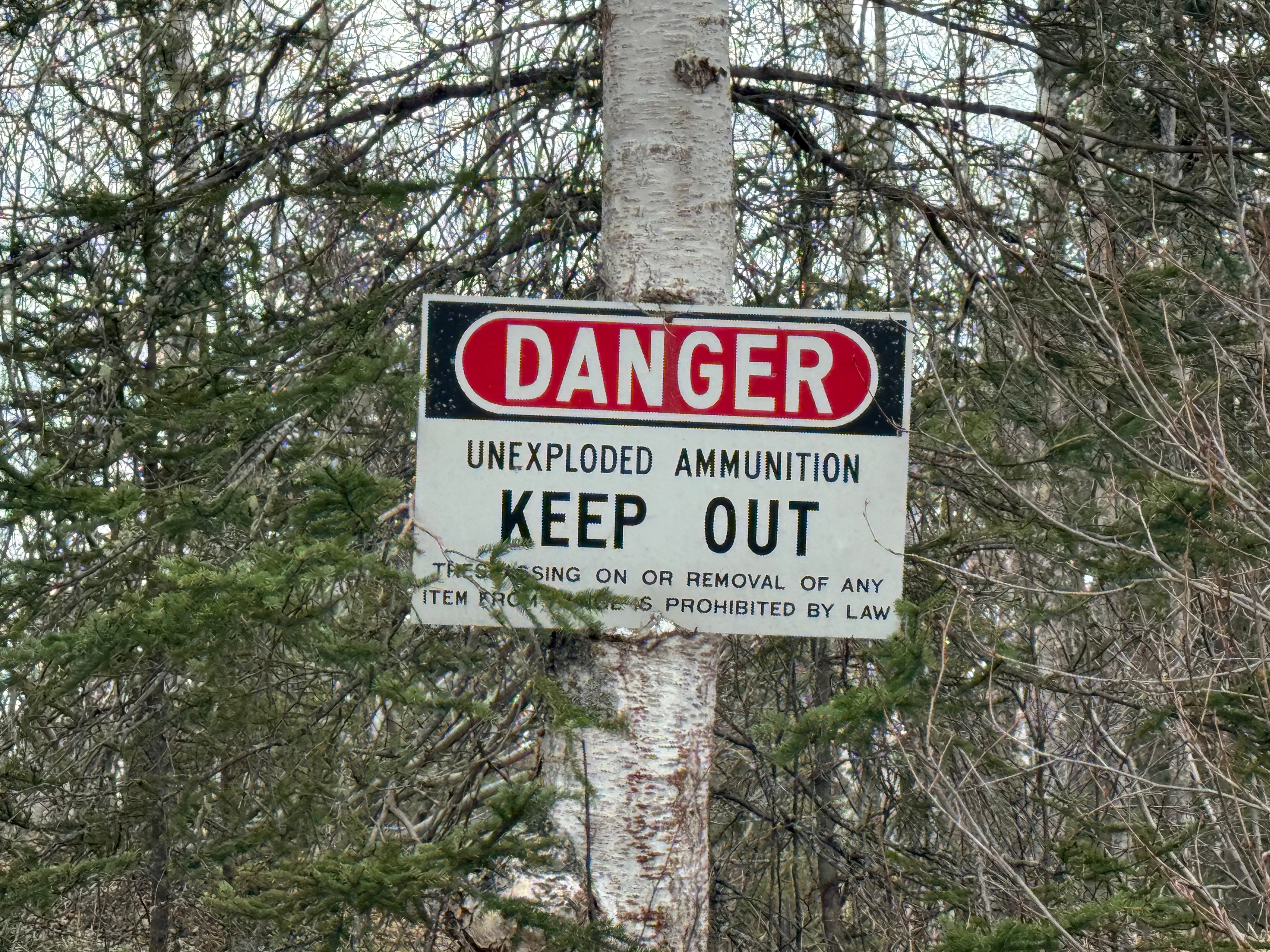
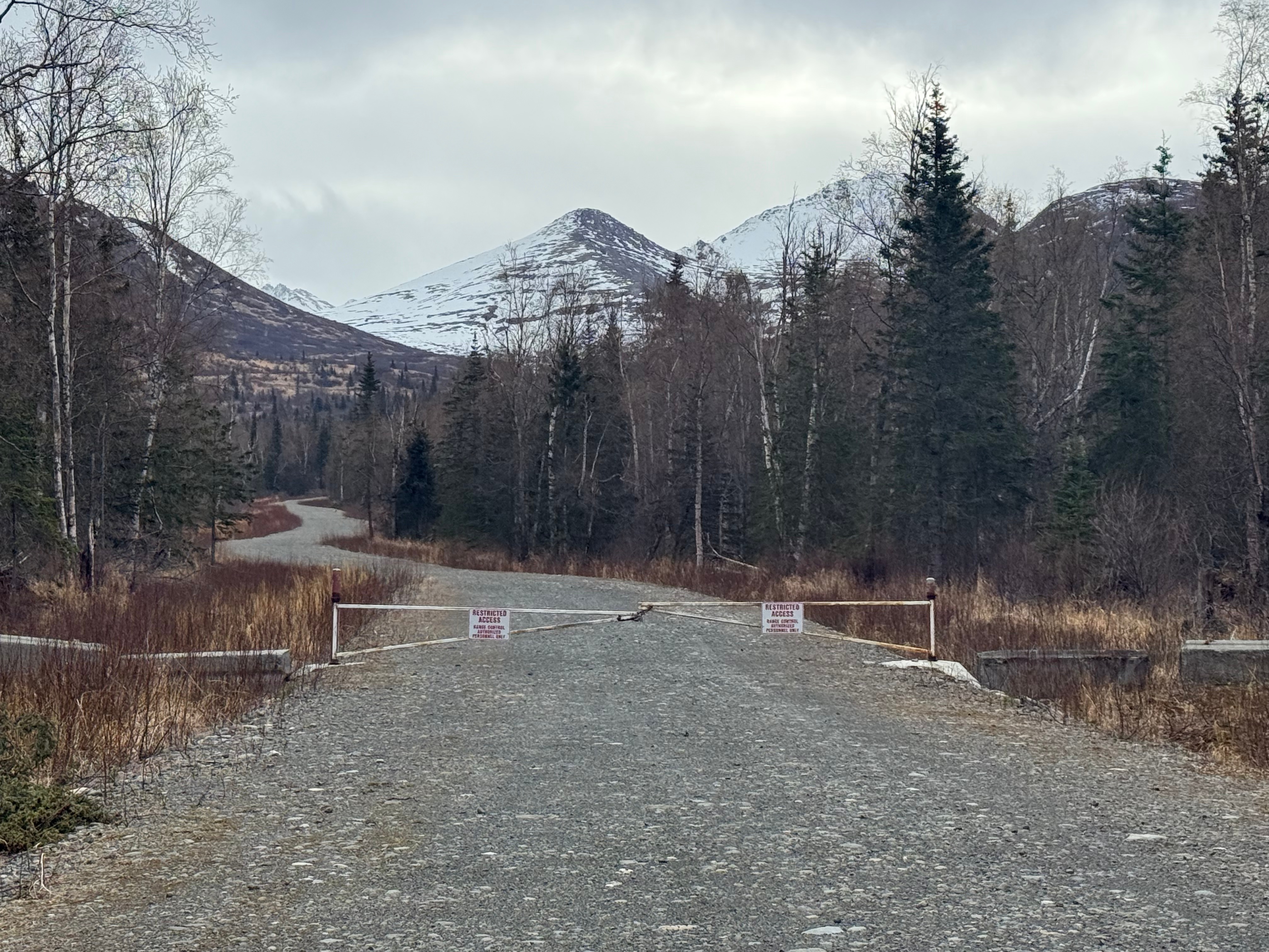
- Sign into JBER RecAccess before entering military land. Sign into all areas you plan to access. No overnights are permitted. These areas are closed between 11pm and 6am.
- Knoya’s peak is set back from the U-shaped ridge, heading towards Tikishla. Don’t make the mistake of thinking you’re at the top when you are less than a quarter mile shy of the true summit.
- Parking at Klutina and Stuckagain are limited. Get there early to grab a spot and respect the neighborhoods by not parking like an asshole and by carpooling, if possible.
Recent Trip REports:
Where the Clouds Parted: A Knoya, Kanchee and Nunaka Ridge Walk
May 31, 2025 Knoya: 4600′ – FR #17 Kanchee: 4393′ – FR #20 Nunaka point: 3780′ Mileage: ~14 Miles Elevation Gain: ~5000′ The summer wasn’t summering, and I was suffering from a bout of springtime depression that only sunshine and warm weather could cure. I dragged myself to the Klutina Trailhead to meet Jason. We…
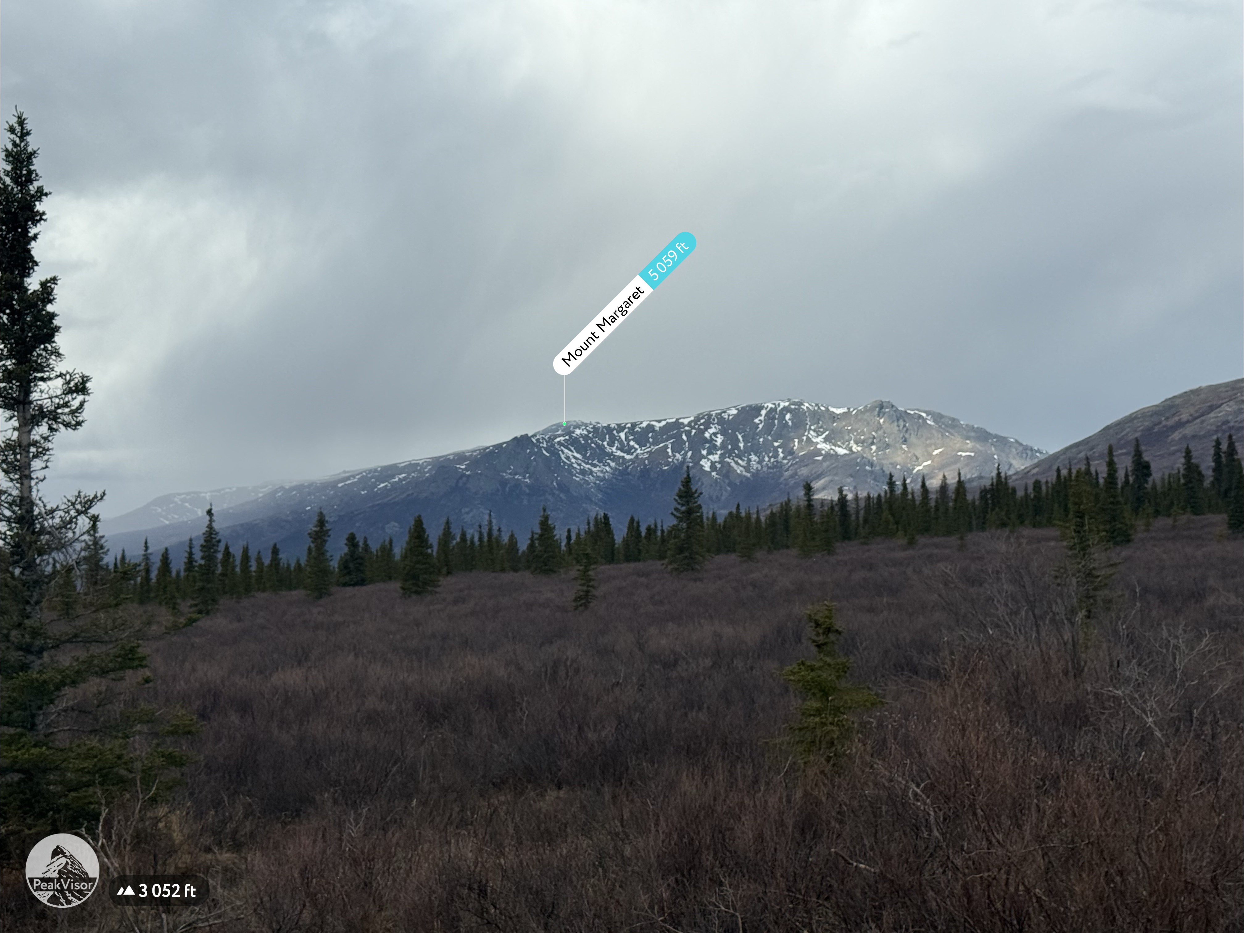
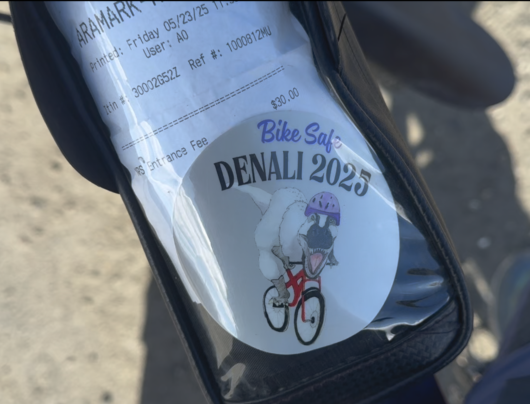
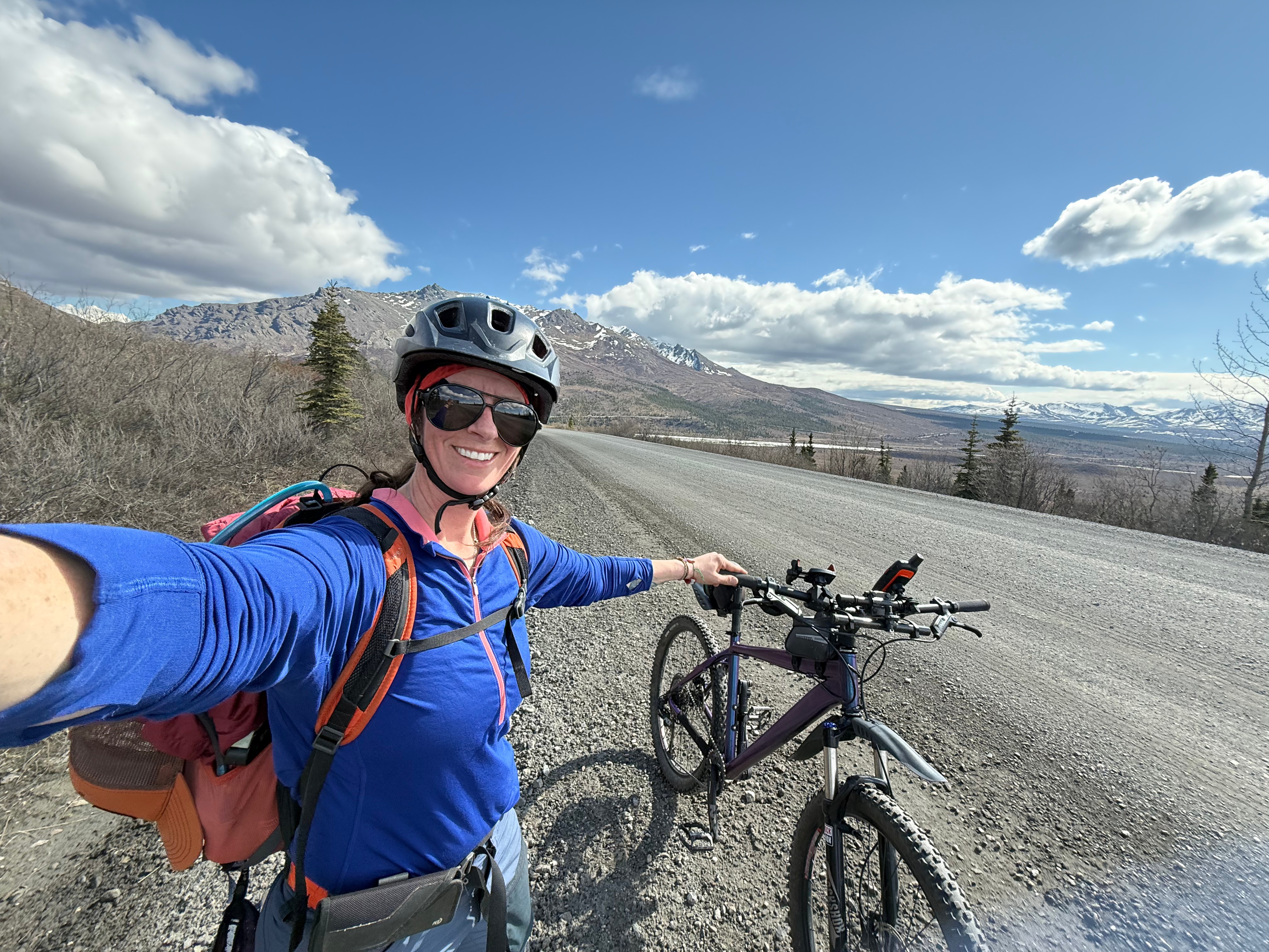
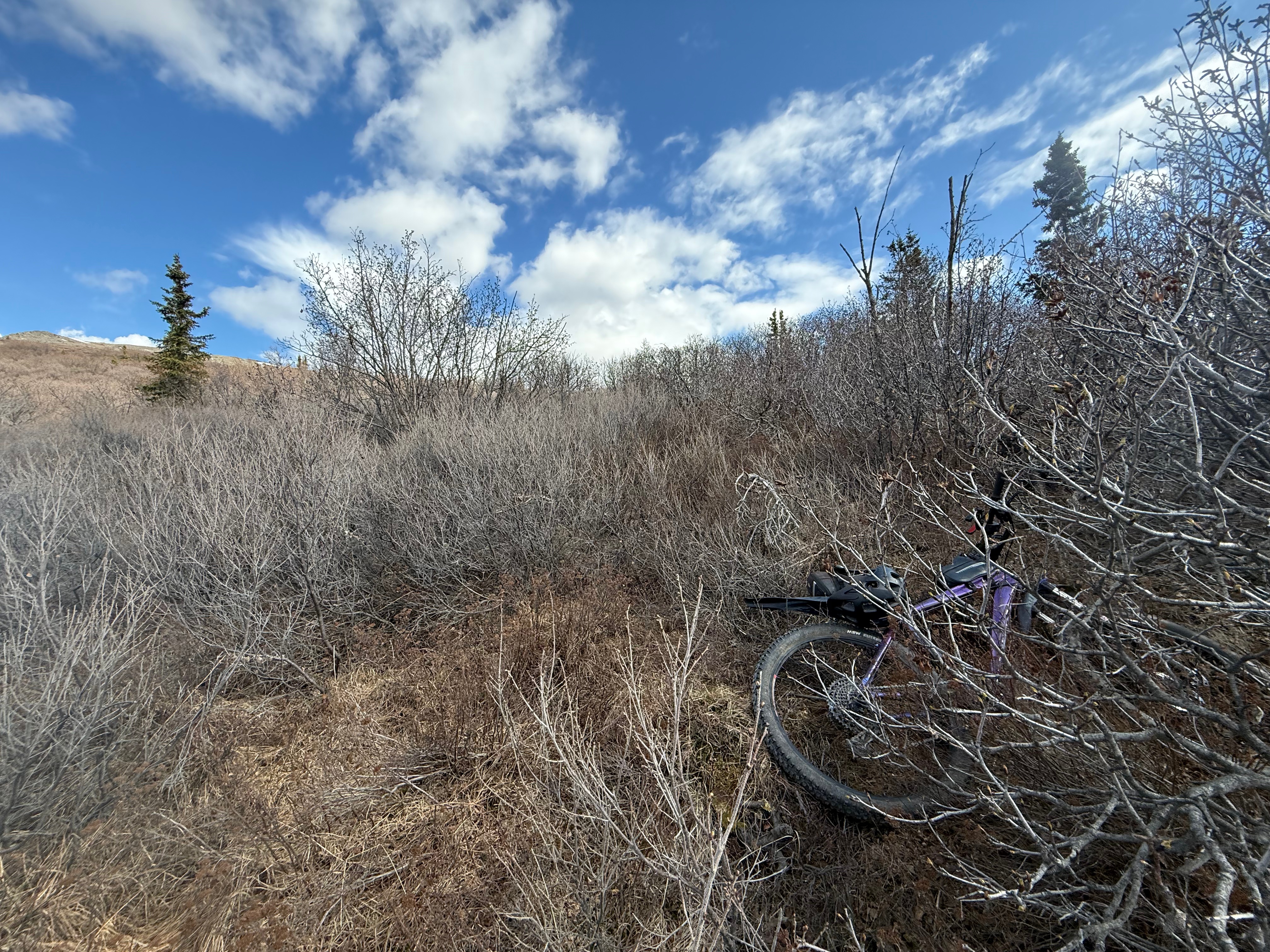
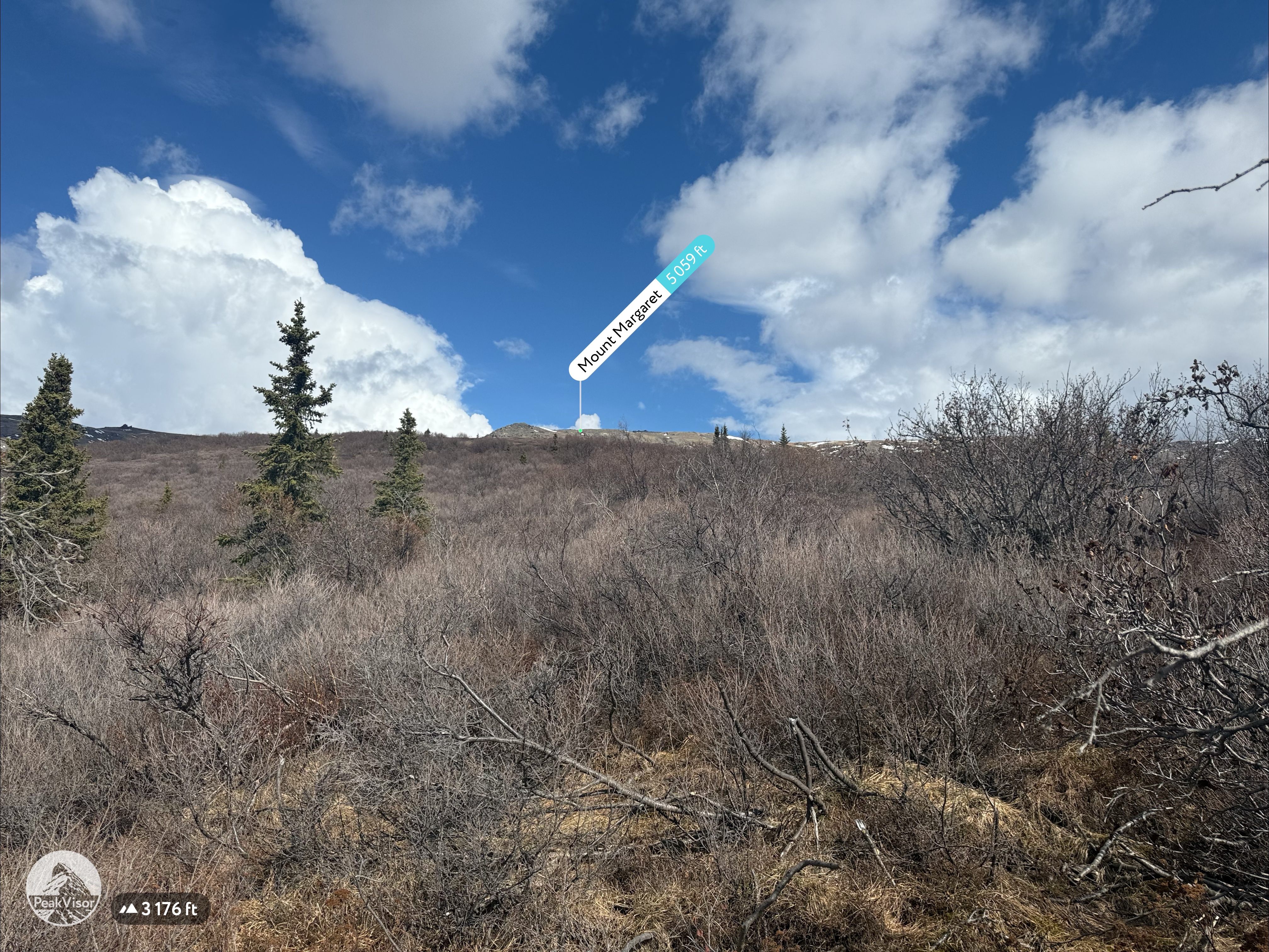
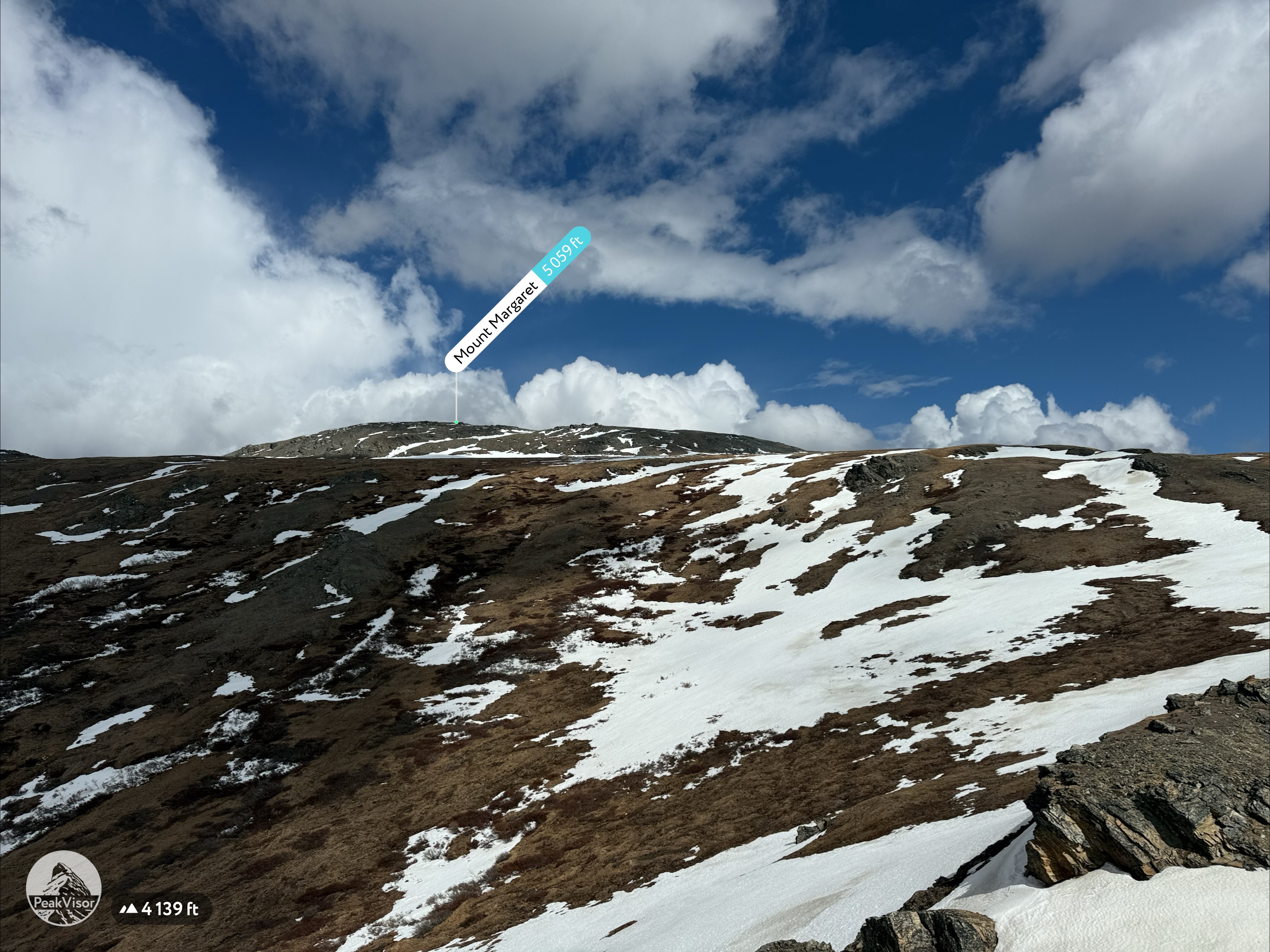
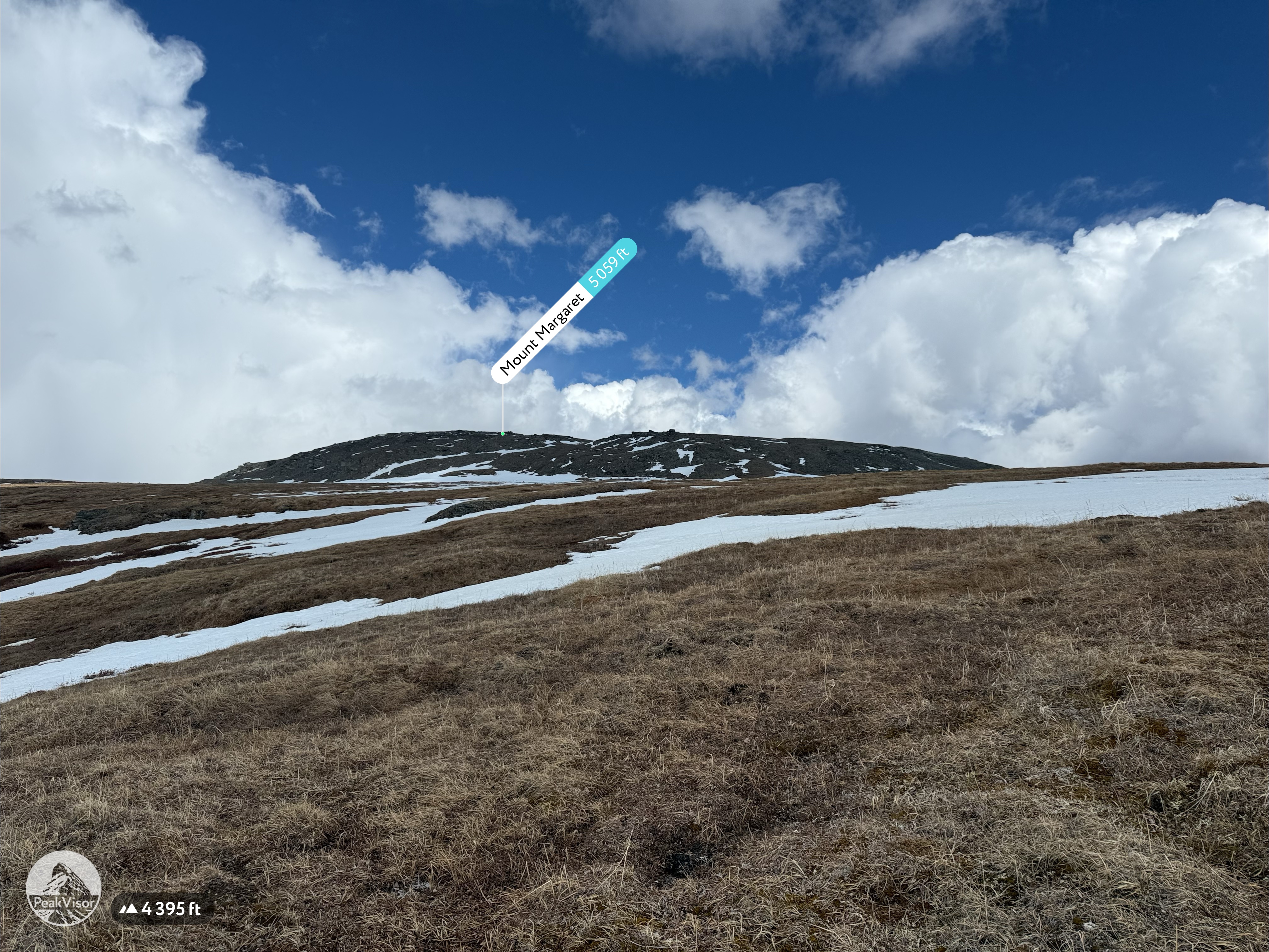
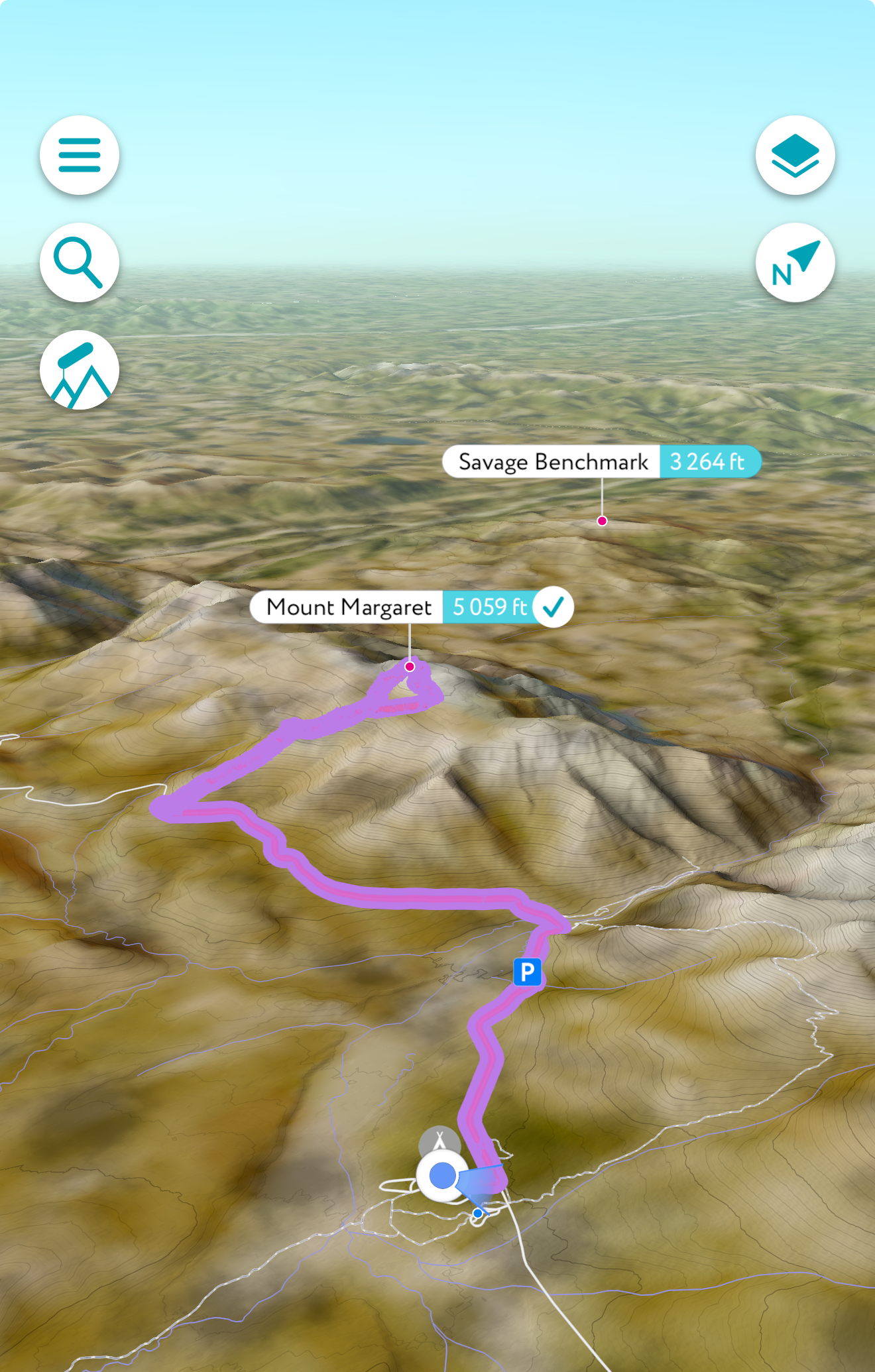
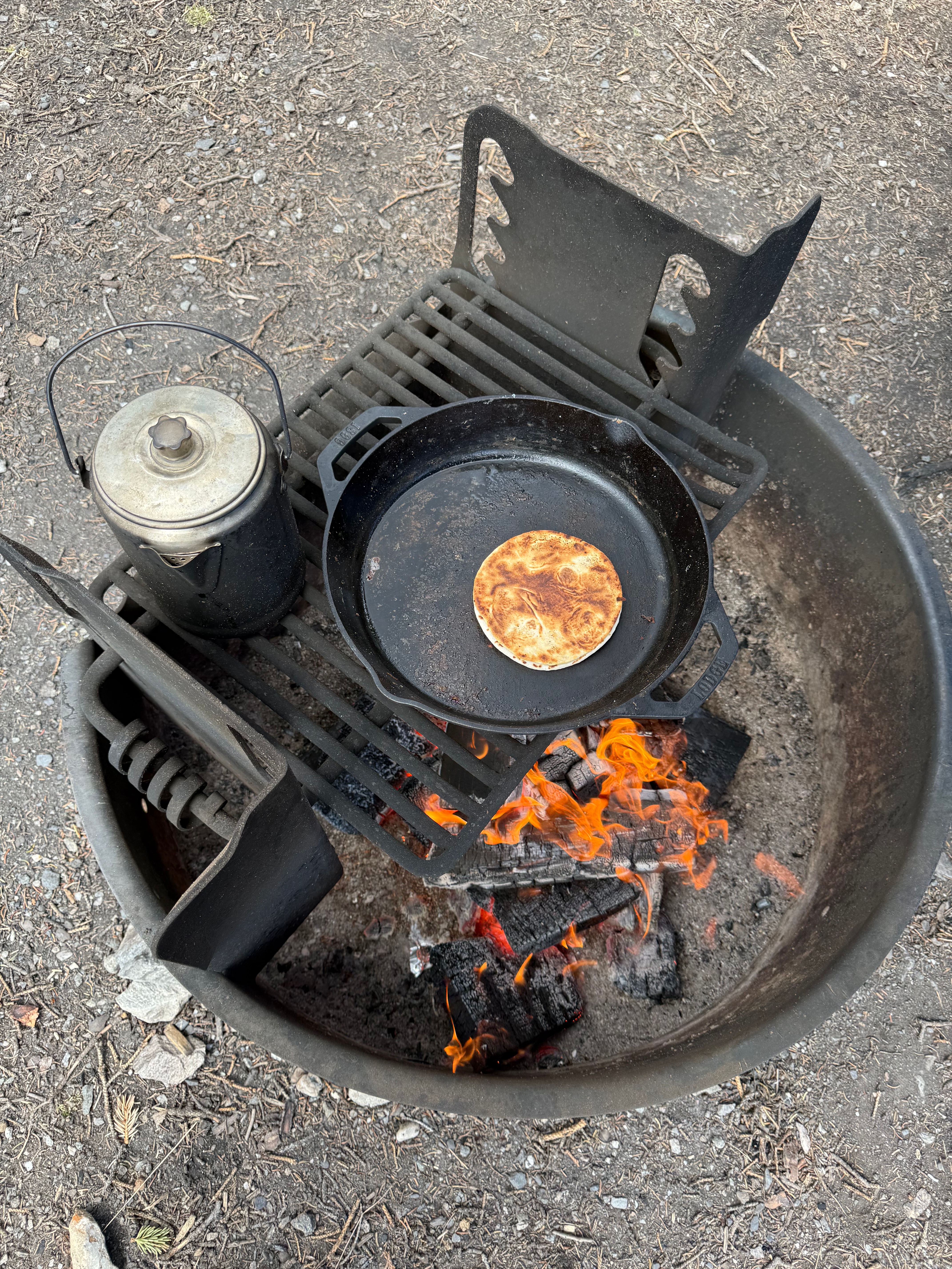
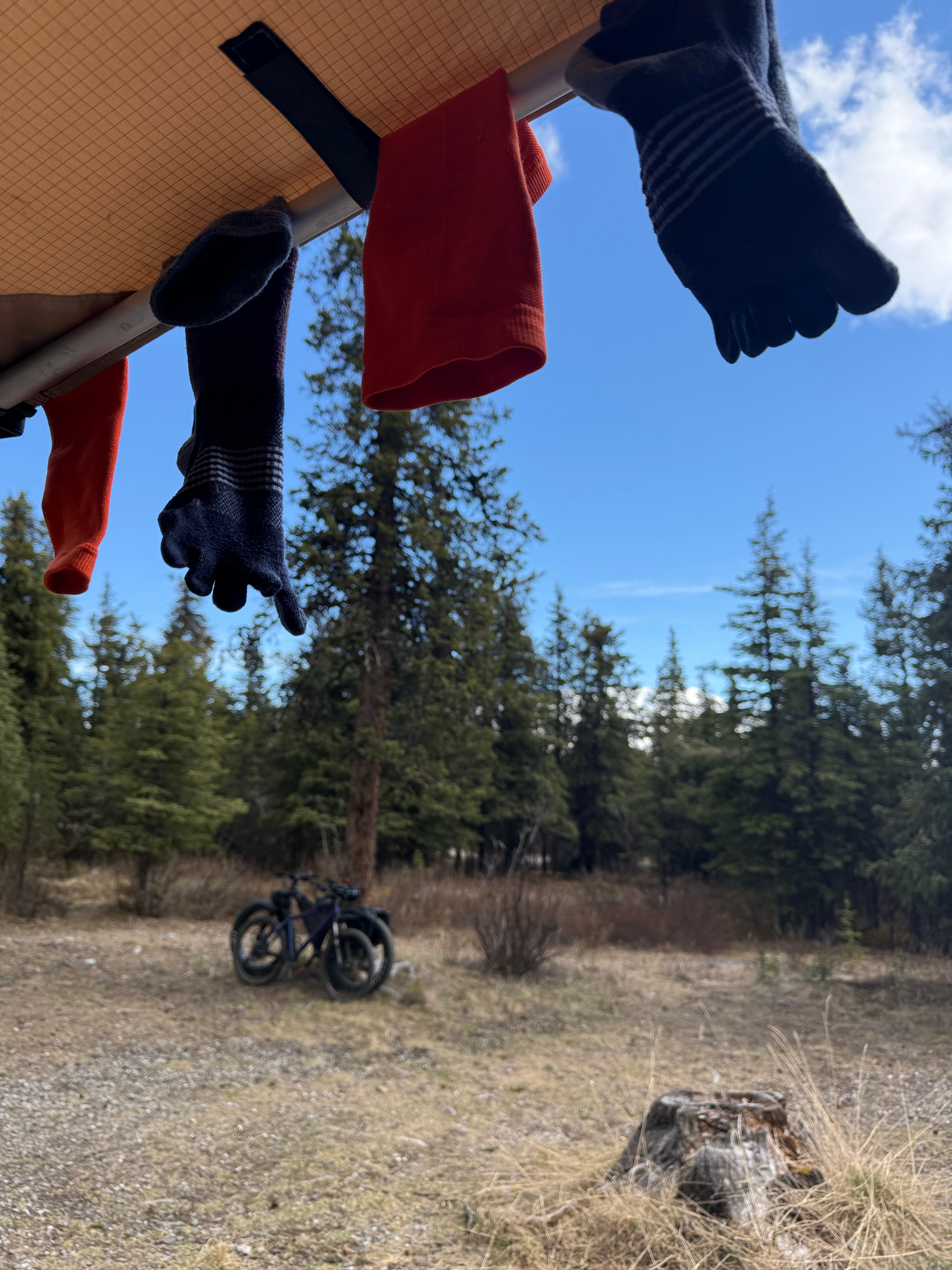
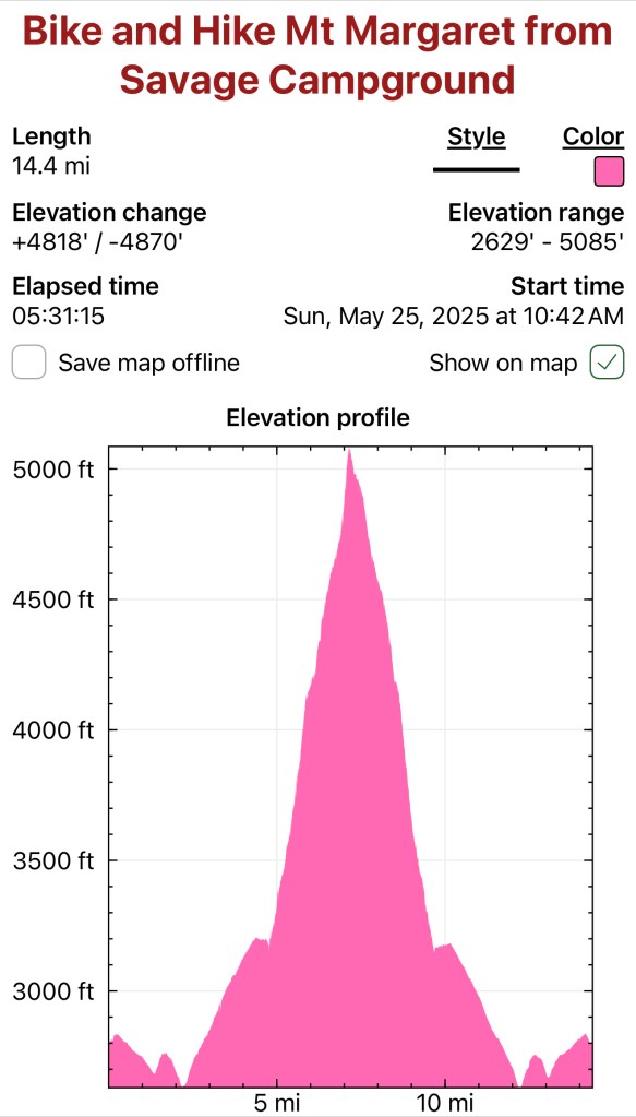
Pedals, Peaks and Thunderstorms: Bike and Hike Mount Margaret in Denali National Park
May 25, 2025 Mount MArgaret: 5069′ Denali NAtional PArk Mileage: 4.6 Mile Bike/4.6 Mile Hike/4.6 Mile Bike Elevation Gain: 2,750′ This year’s annual mother/daughter camping trip in Denali National Park looked a little different from our normal stay at Riley Creek Campground. The Labor Day prior, we decided our next trip would be to Savage…
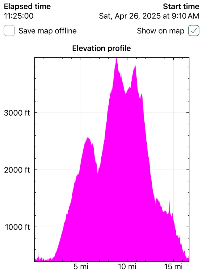
Chasing the Wind: A Long-Awaited Victory on Peak 1216 and Ship Creek Hill
April 26, 2025 Peak 1216 AKA 3990: 3990′ Ship Creek Hill: 3842′ (chugach Front Range Peak #24) Mileage: 15 Miles Elevation Gain: 5,700′ The majority of the Southcentral Alaska winter of 2024-25 was uncharacteristically warm and relatively snow free, but here we were in April, with record breaking snowfall around Anchorage. The ridges and peaks…