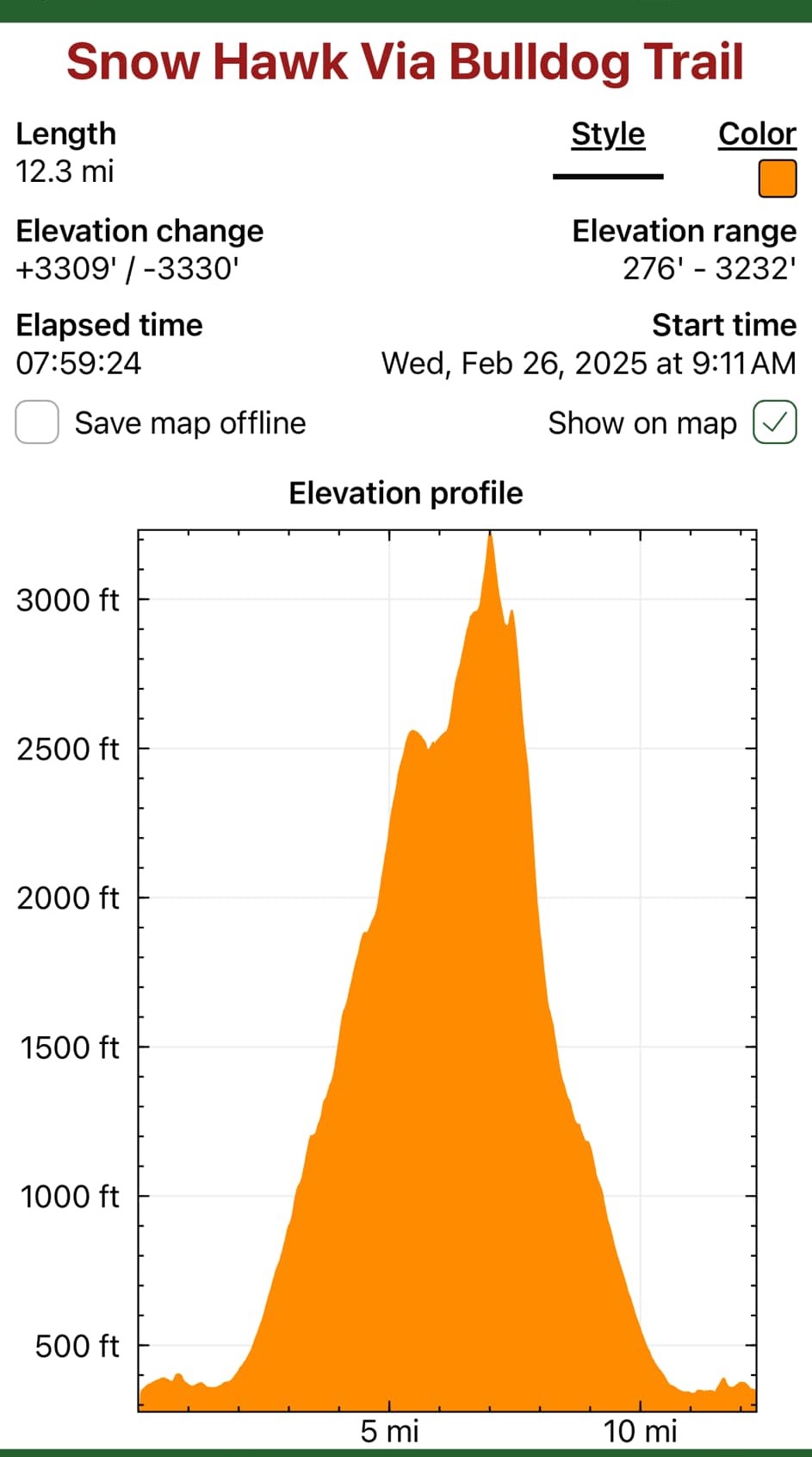
February 26, 2025
Failed attempt on Nunanka and Kanchee
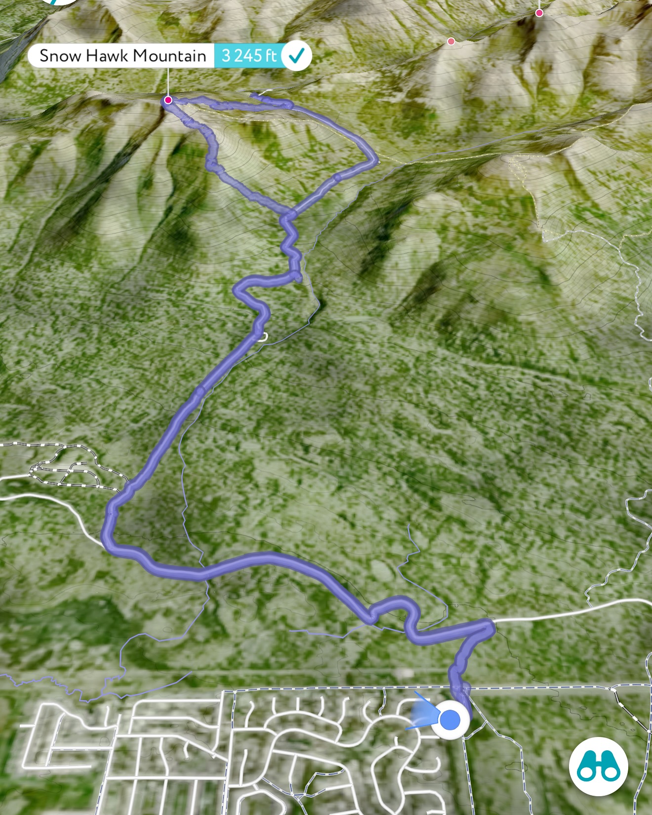
Successful Snow Hawk Summit
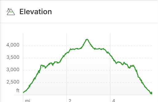
Mileage: 12.3 Miles
Elevation Gain: 3309′
Chugach Front Range #27
Summit Elevation: 3245′
Permitting: JBer REcAccess Website
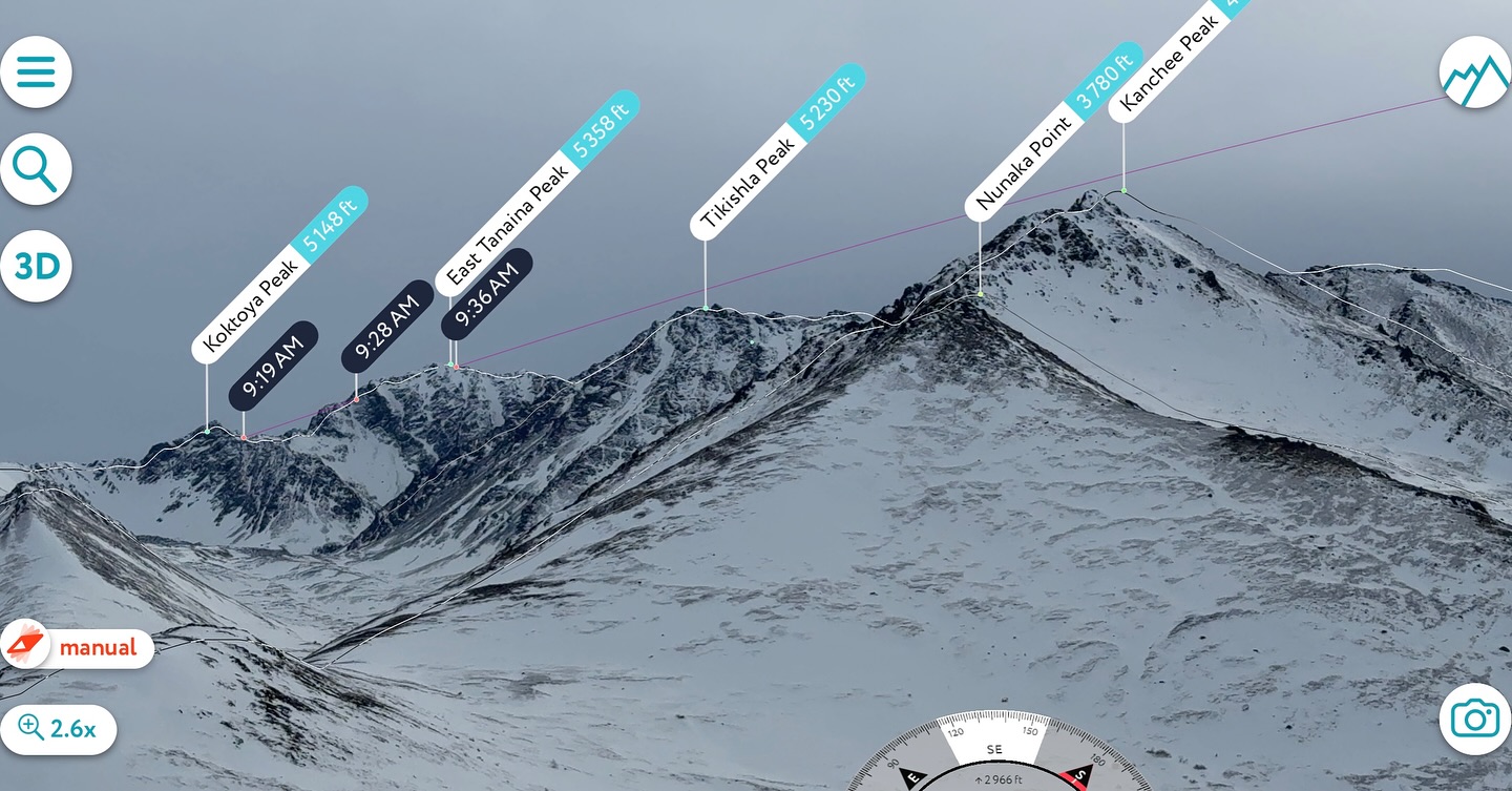
Jason and I had lofty goals after seeing how little snow was up on McHugh and the neighboring mountains. We foolishly assumed this lack of snow was typical of the entire front range area and made a plan to bag Nunaka Point and Kanchee with a possibility for including Knoya and completing the whole cirque. Our Plan B included finding our way across Snow Hawk Valley to climb Ship Creek Peak.
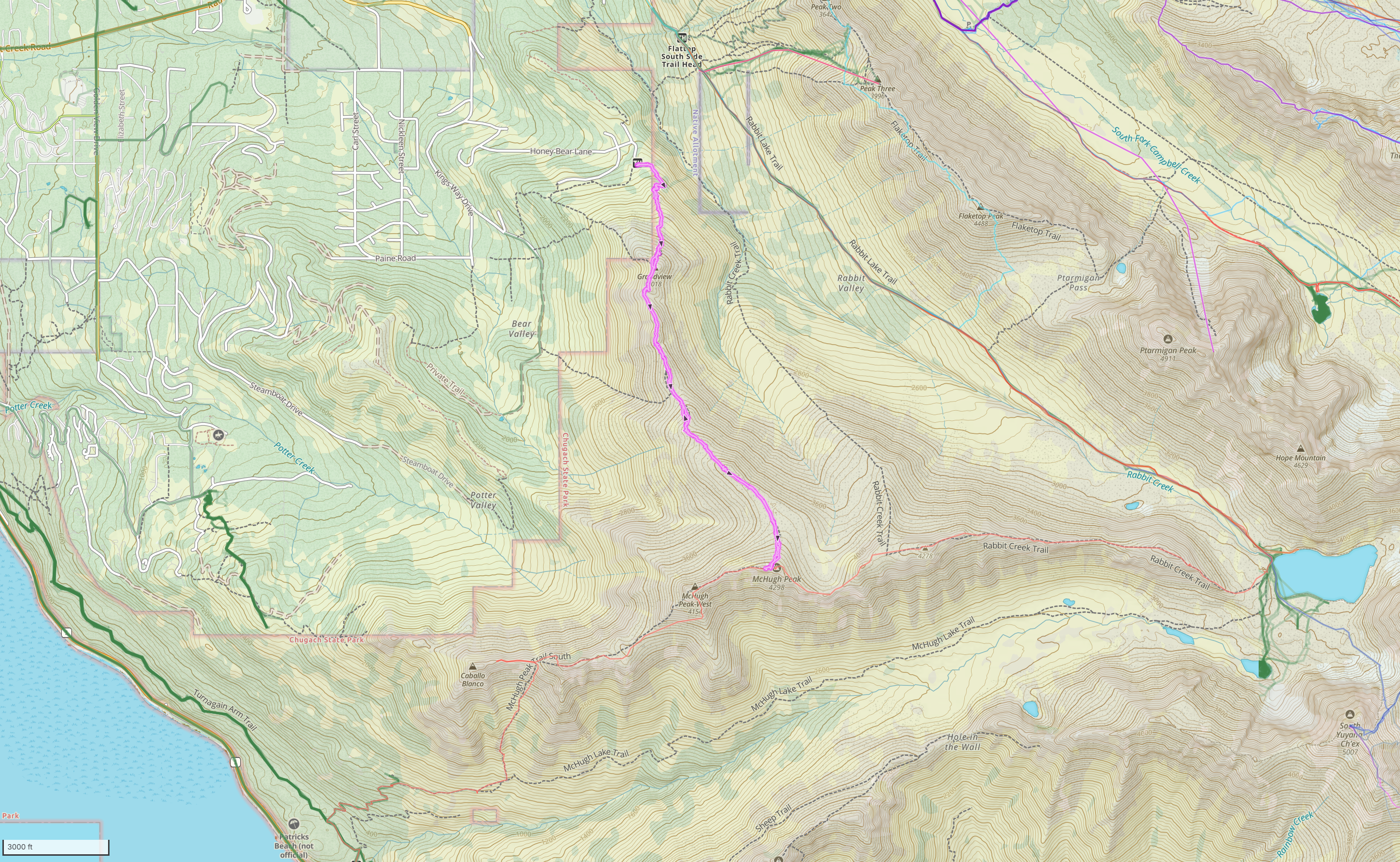
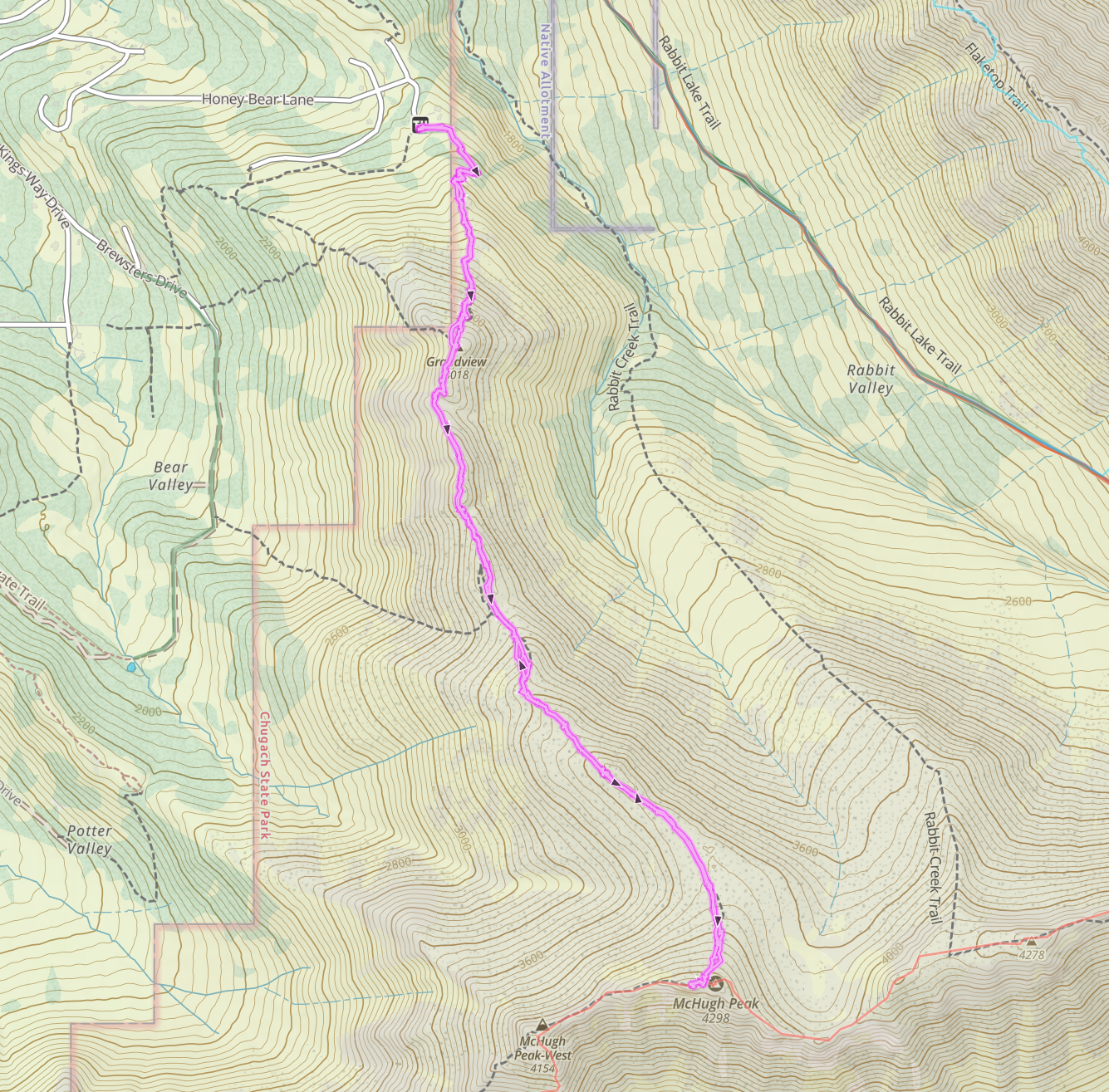
We decided to take the Bulldog Trail to the new military road that winds up along the south side of Snow Hawk Peak. I had called the authorities on JBER and made sure it was ok to use the road, as it had been closed to foot traffic the previous summer; I was assured that it was no problem, as there was no training or work on the road happening this winter. I recommend calling the contact on RecAccess if you want to verify what is open or have any other questions about recreating on base. The officer was extremely friendly and very helpful.
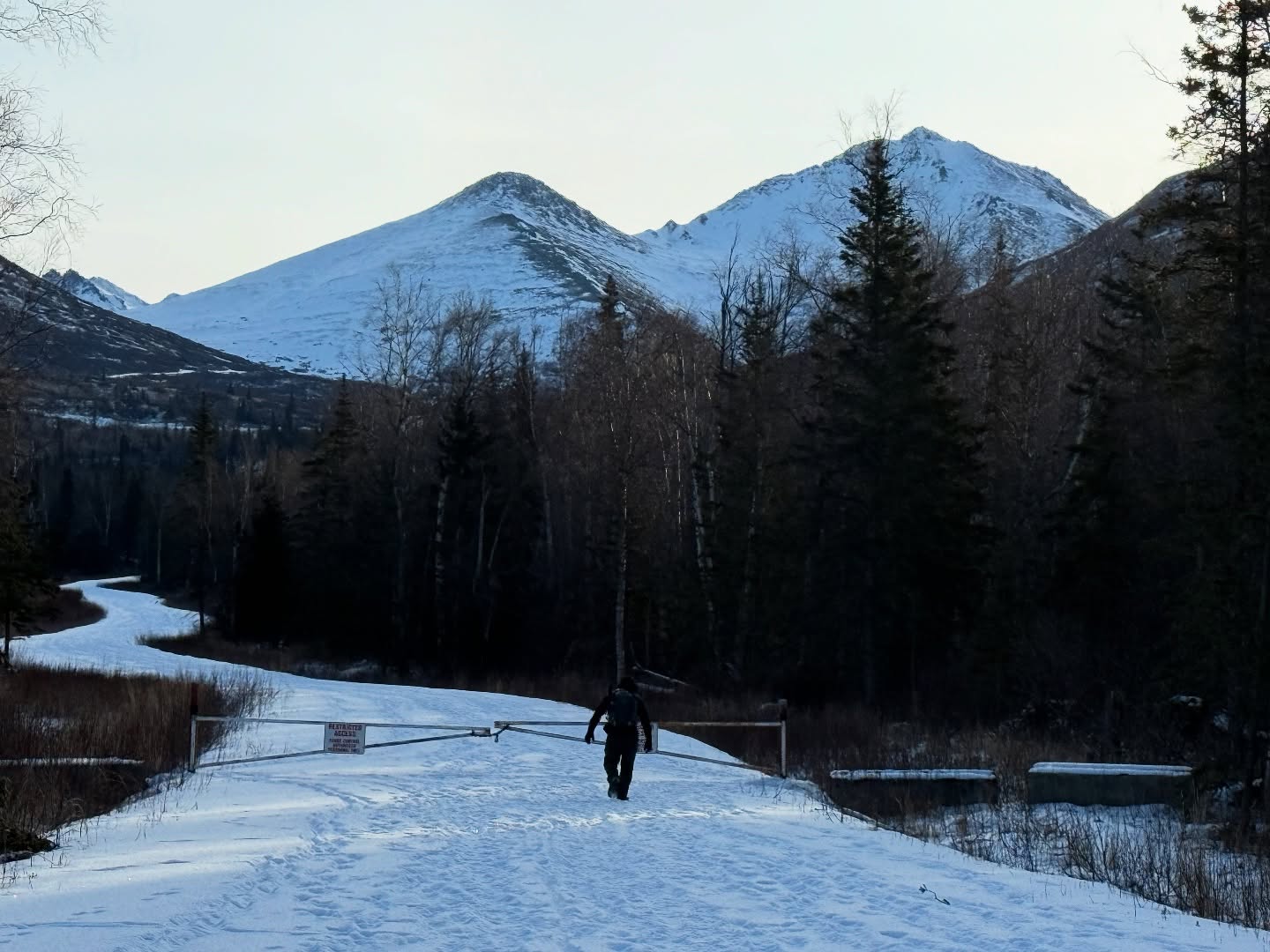
Most of this area is on base, so it is very important to log into the JBER RecAccess Website to verify that the area you plan to travel is open, as they sometime will have live fire training or paratrooper jumps that could make traveling in those areas extremely dangerous. You must sign in and out of all areas and must check out by 11pm. There is no camping or overnight travel permitted. There is a $10 annual fee for backcountry recreators, and a 5-minute training video followed up with a short quiz. Failure to comply could result in prosecution or banishment from base property.
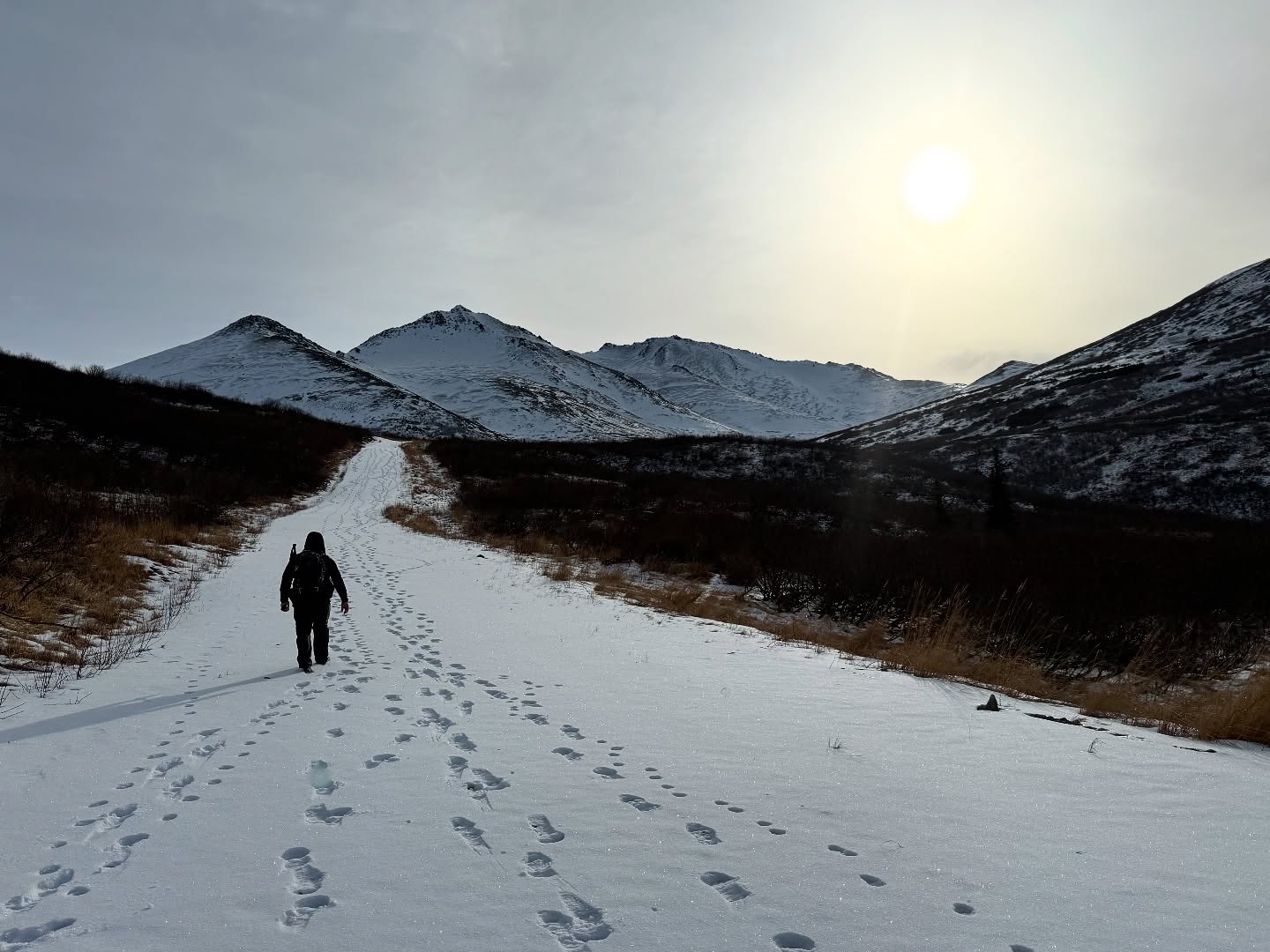
Once we were signed in, we left the Klutina parking lot, a little chilly at 25F, and headed out to the Bulldog Trail, a military training road. About a mile and a half later, we intersected with the Snow Hawk Peak fire road. Here you will find a gate and an unplowed road with plenty of foot travel through the ankle-deep snow. On a high snow year, this could be a very fun road ski.
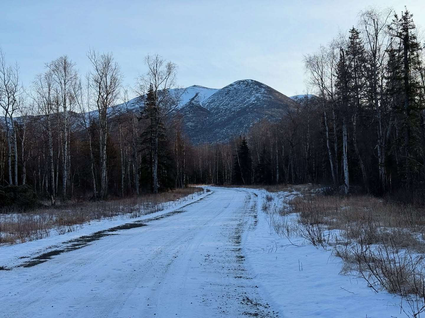
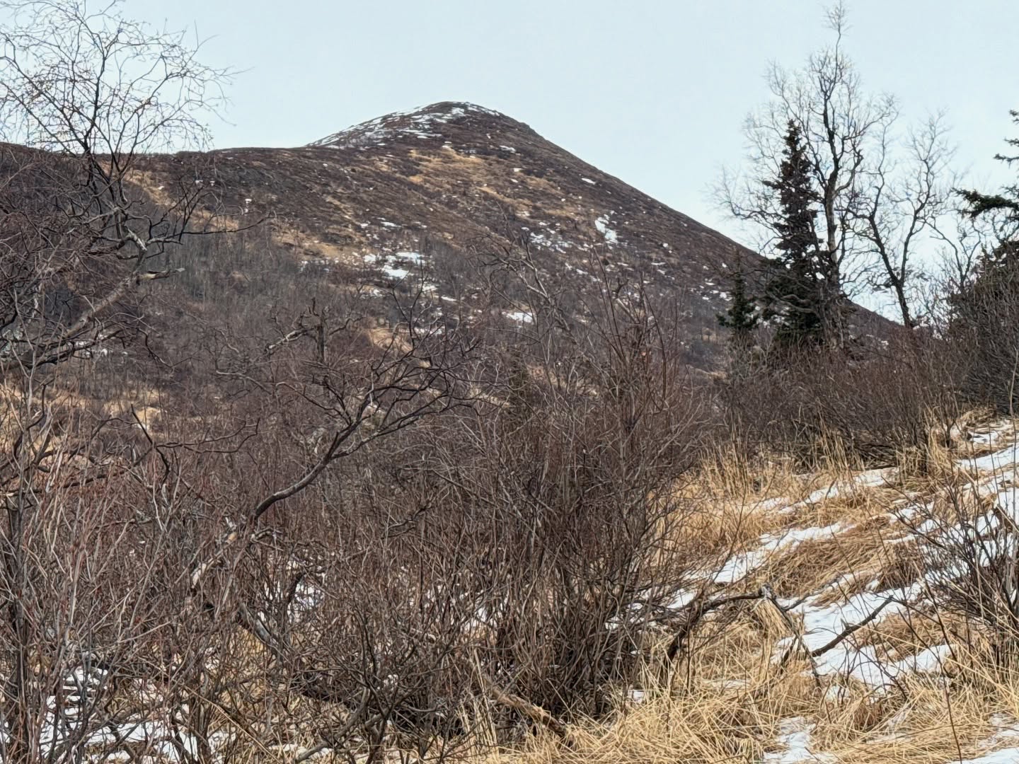
After some gradual uphill walking, it gets steep in sections, particularly on the backside of Snow Hawk, where the road takes hard left to the northeast. As we crested the hill, the road became a slog fest with snow up to our knees. We opted to not struggle on further towards Ship Creek Hill, especially since the gulleys looked like they held quite a bit of snow, a no go without snowshoes or skis.
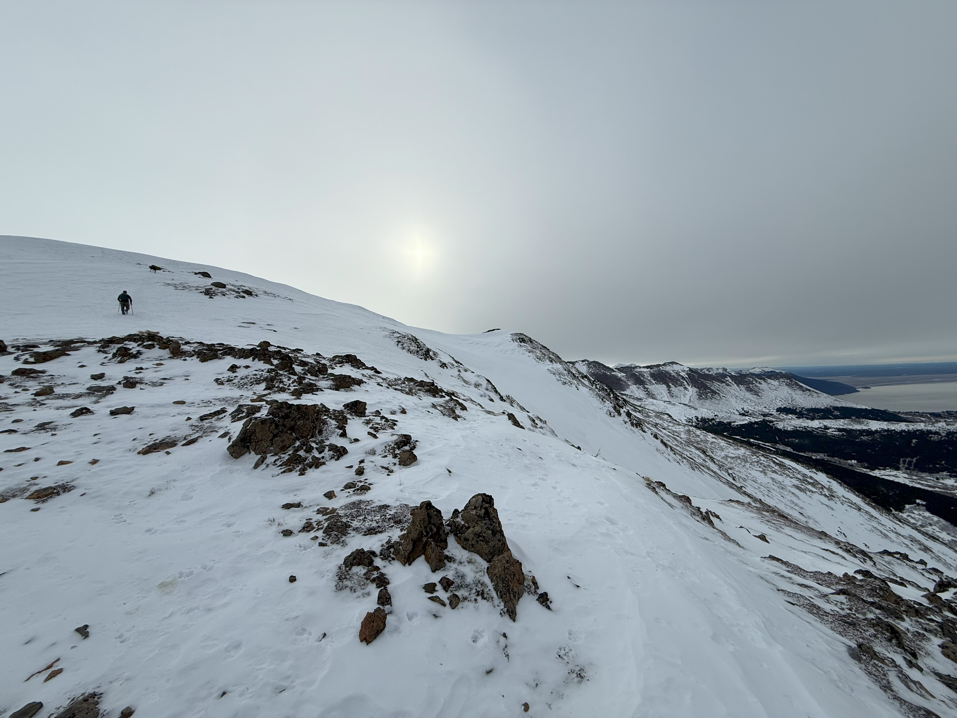
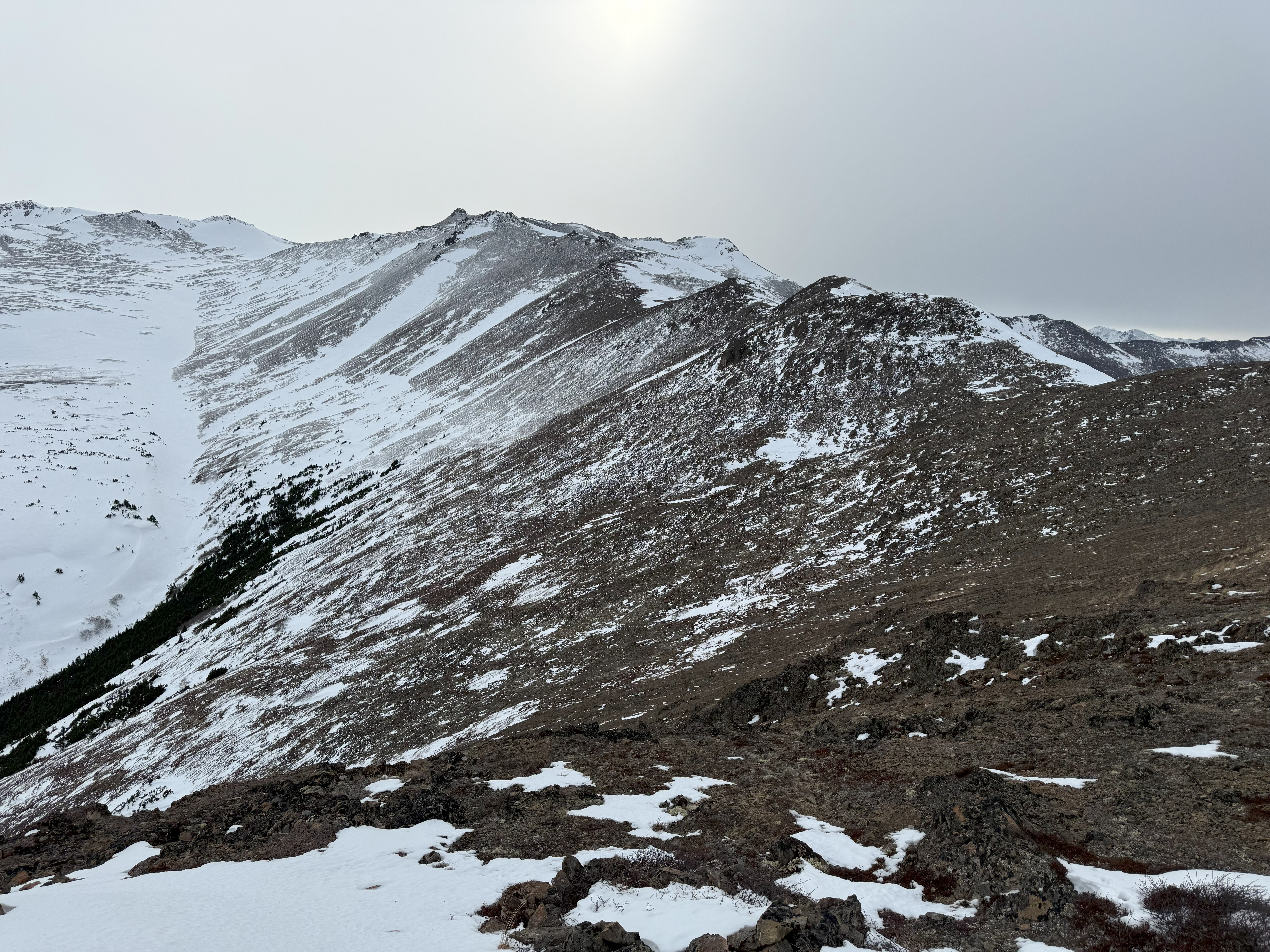
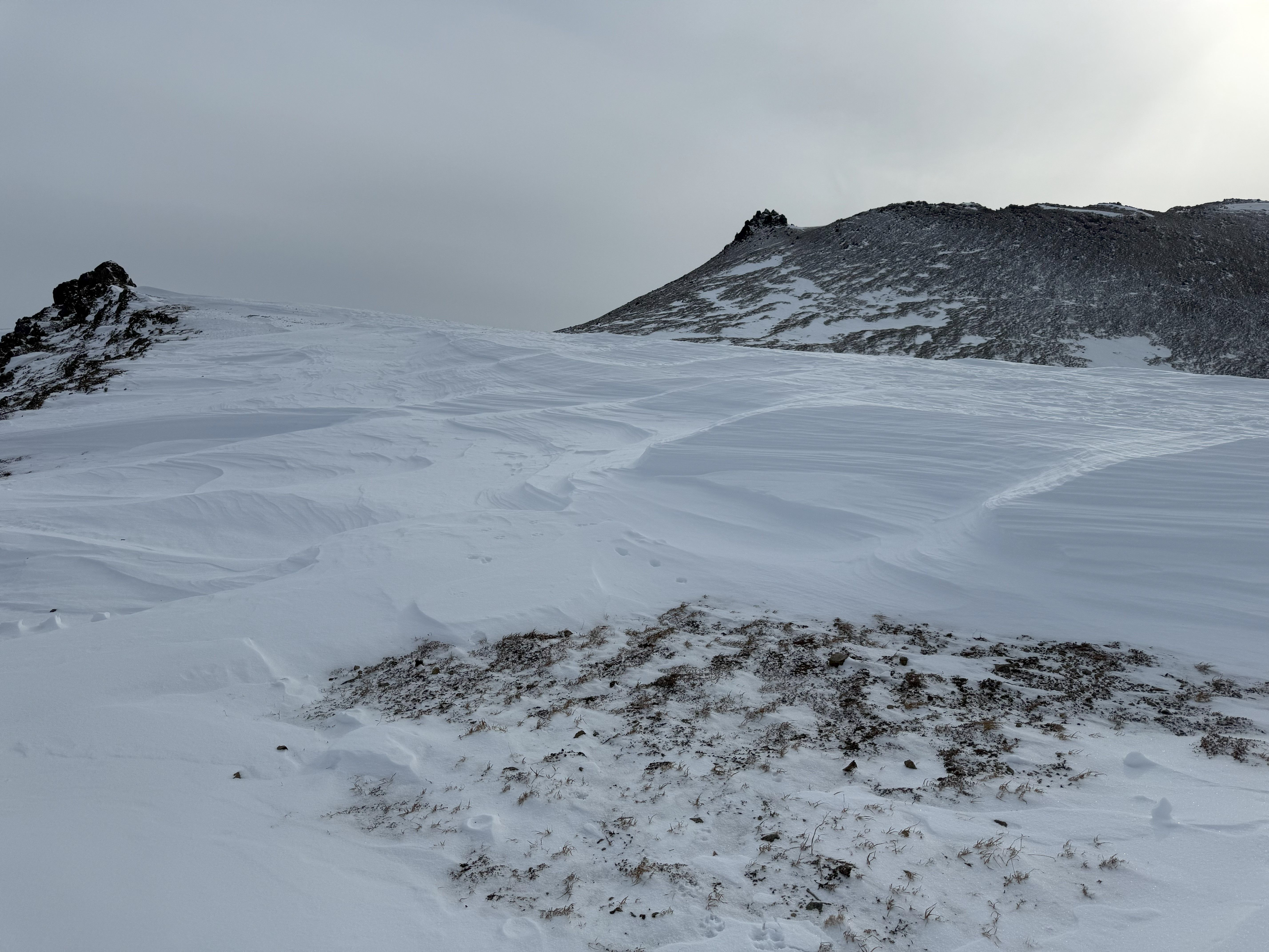
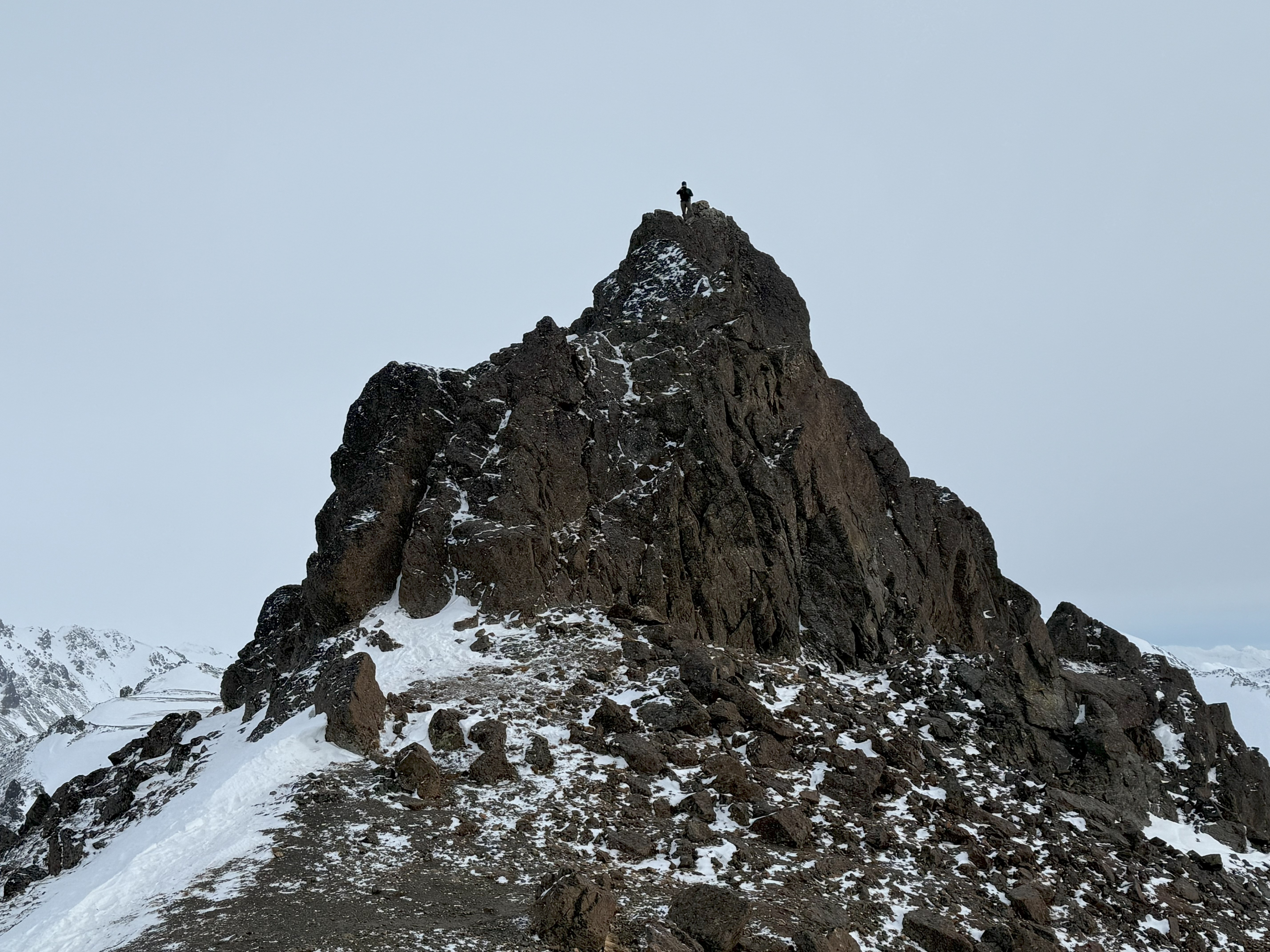
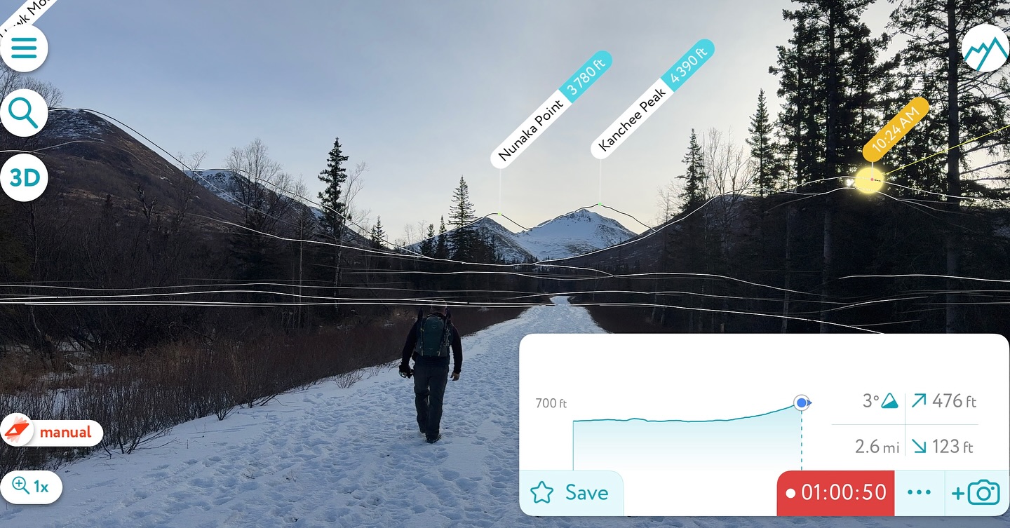
We turned our attention to our original goal, Nunaka and Kanchee. The ridge looked doable, with tundra and blueberry shrubs poking through thin snow, but upon first attempt to cross the low spot between the road and the ridge, we found waist deep snow, with no promise it would get any better soon.

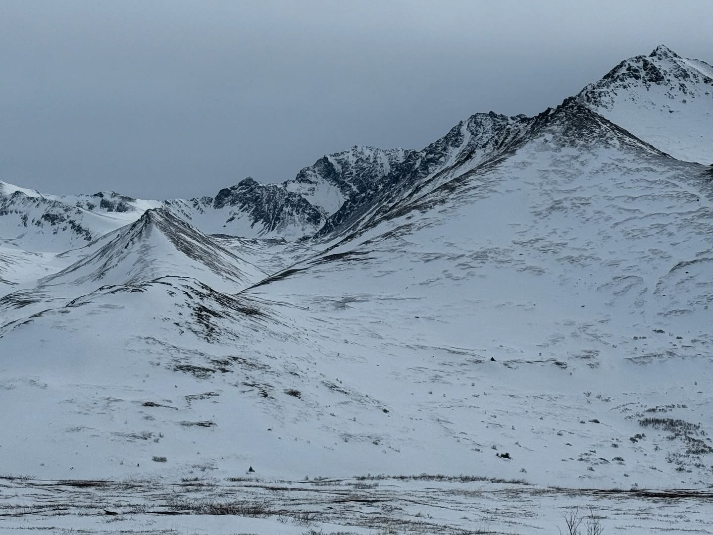

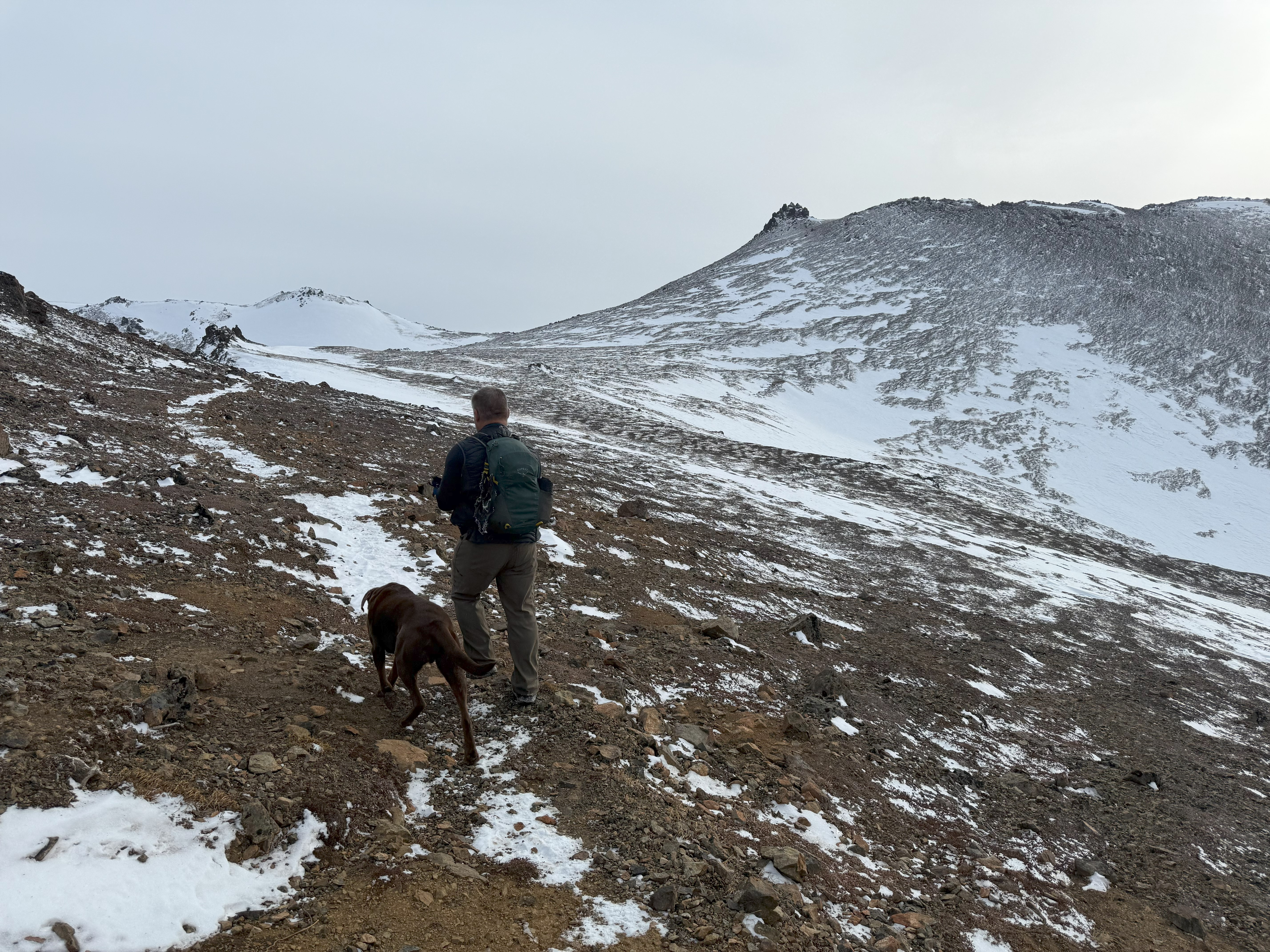
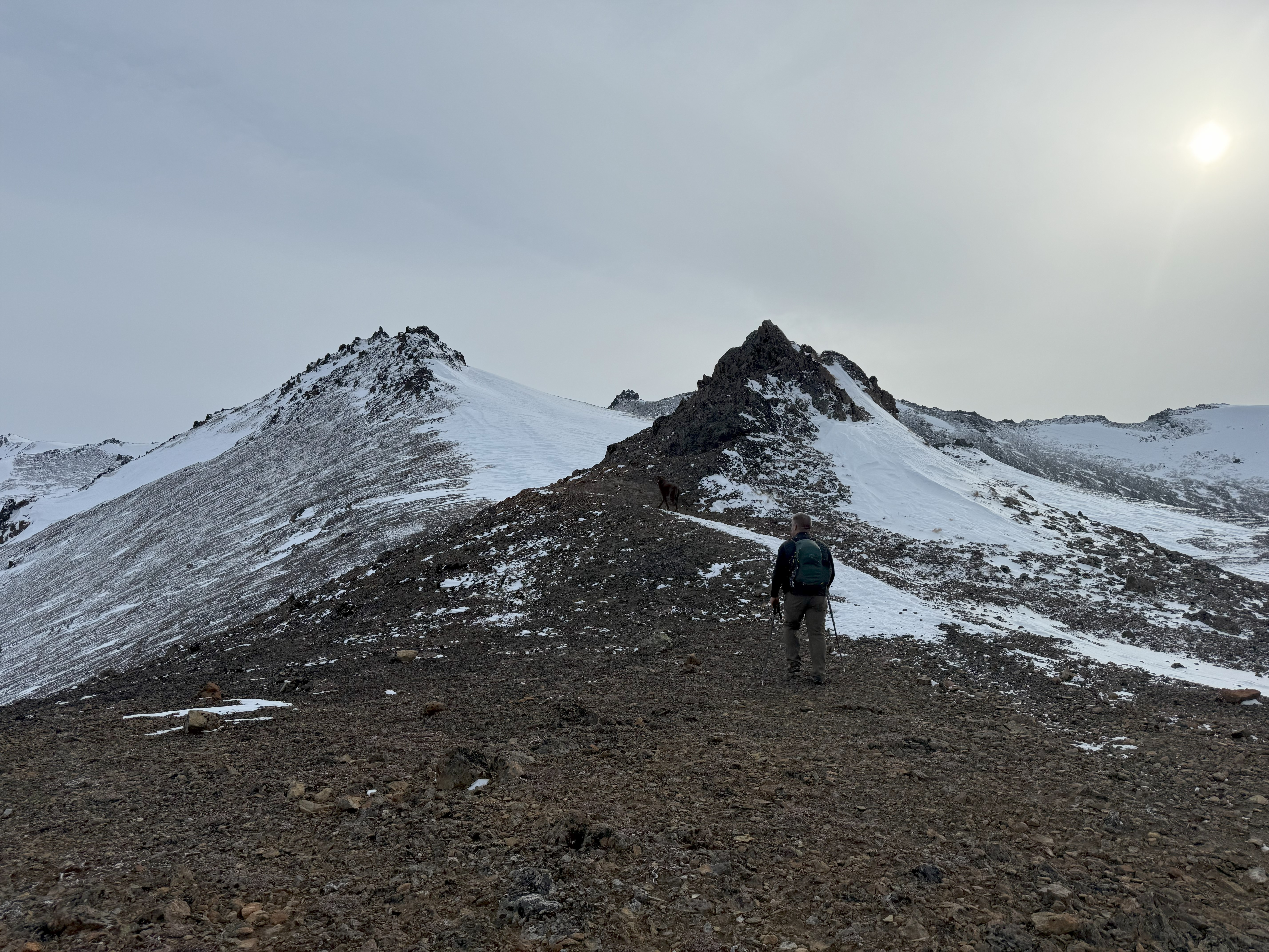
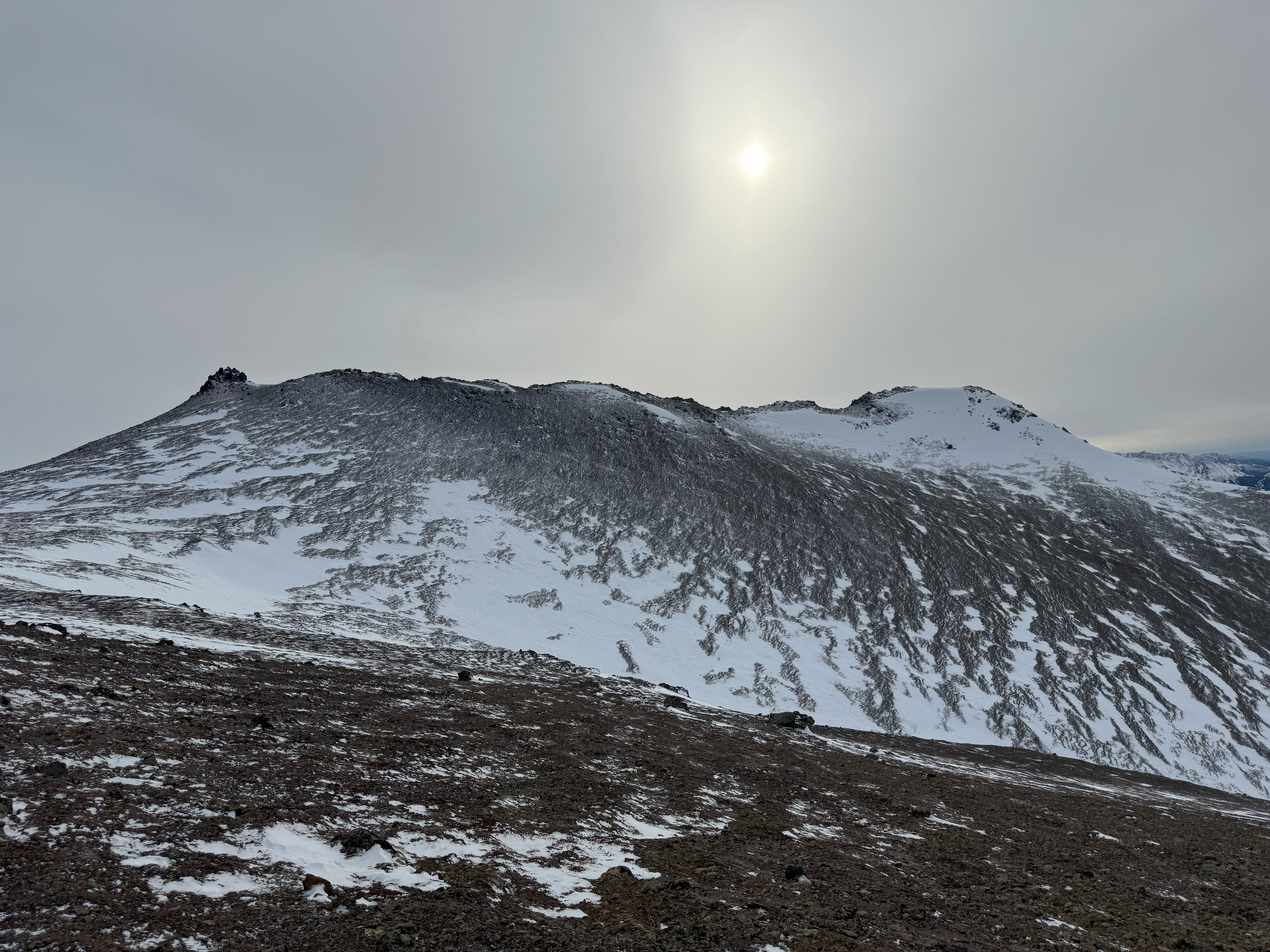
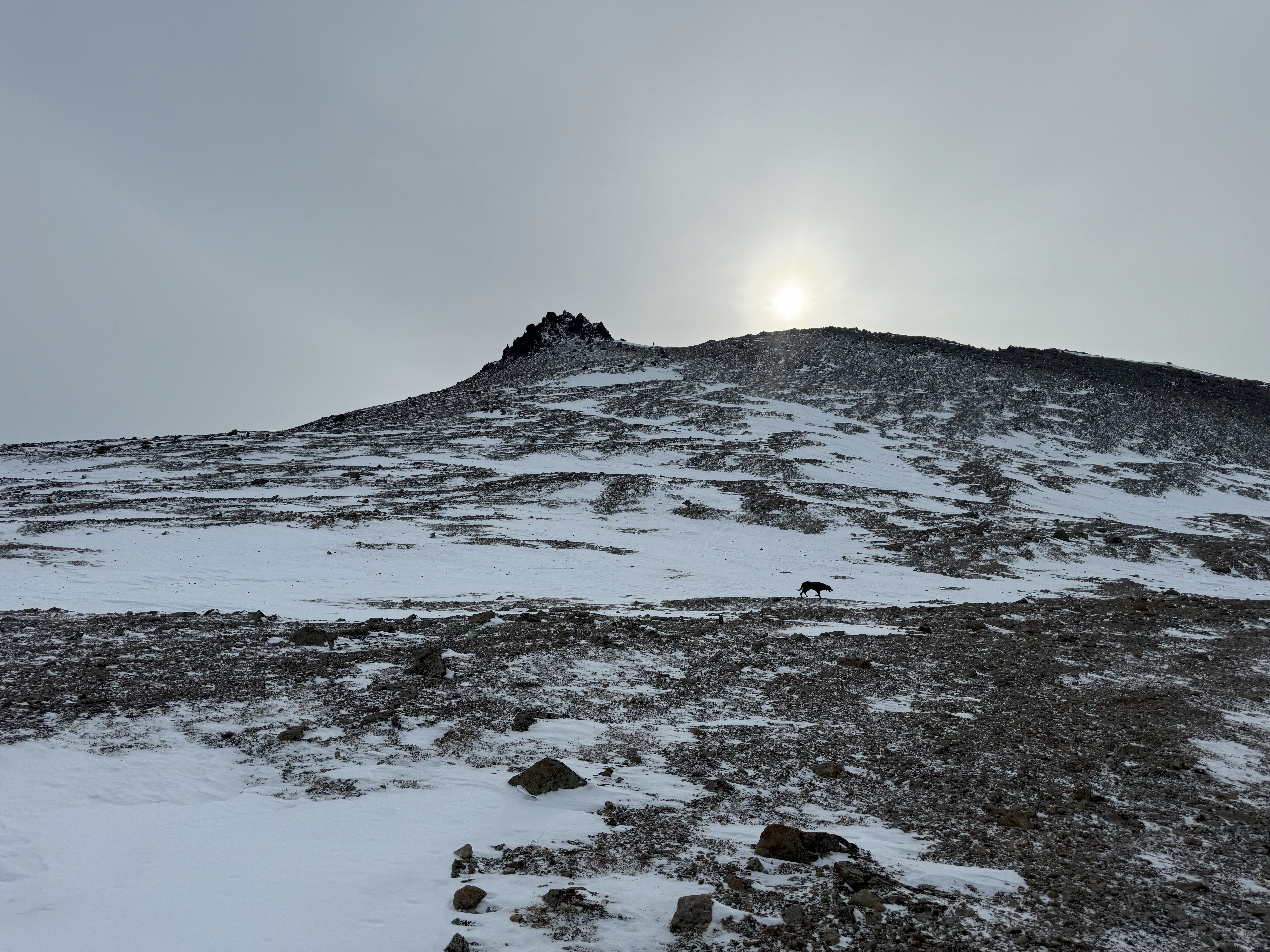
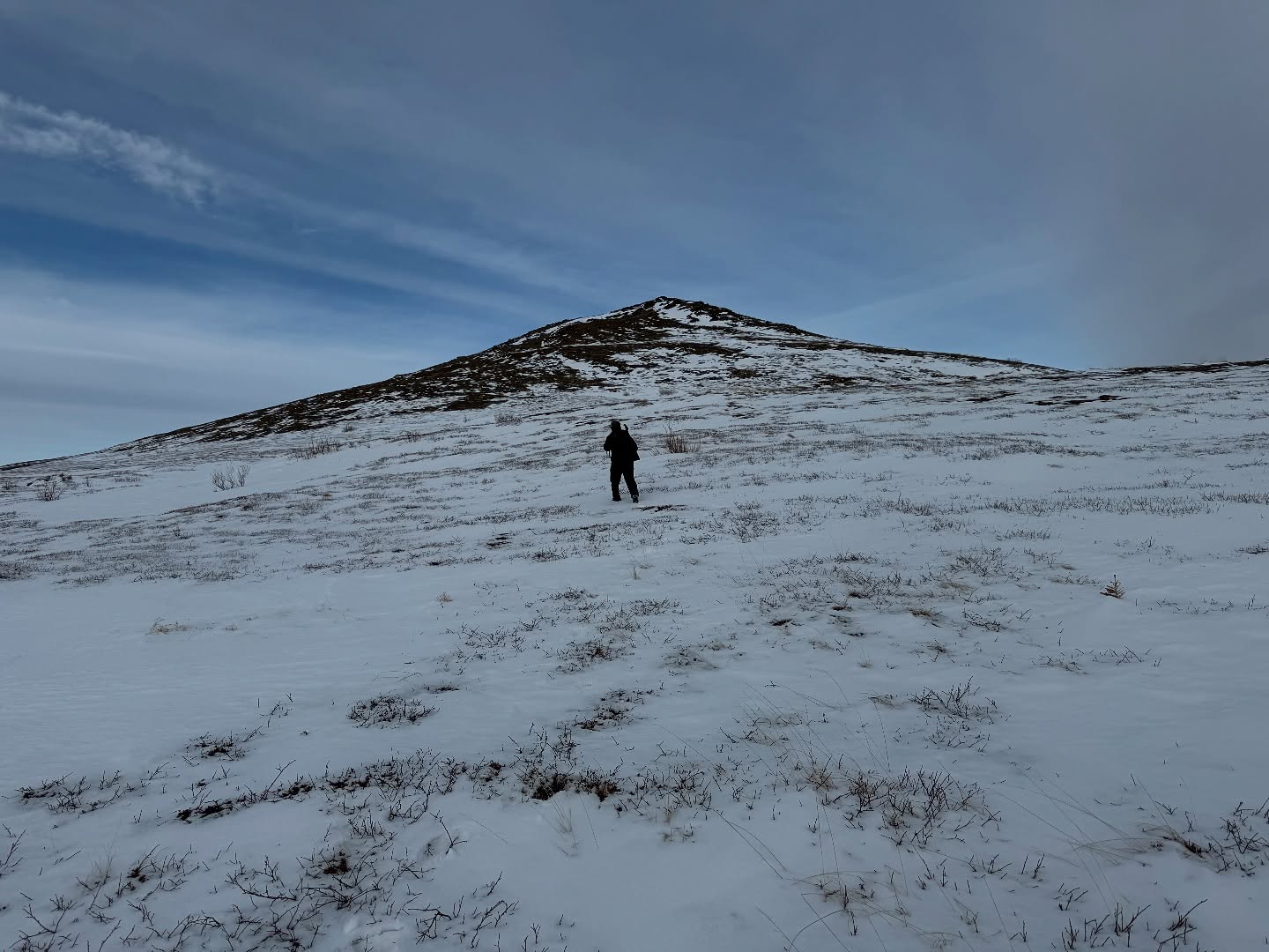
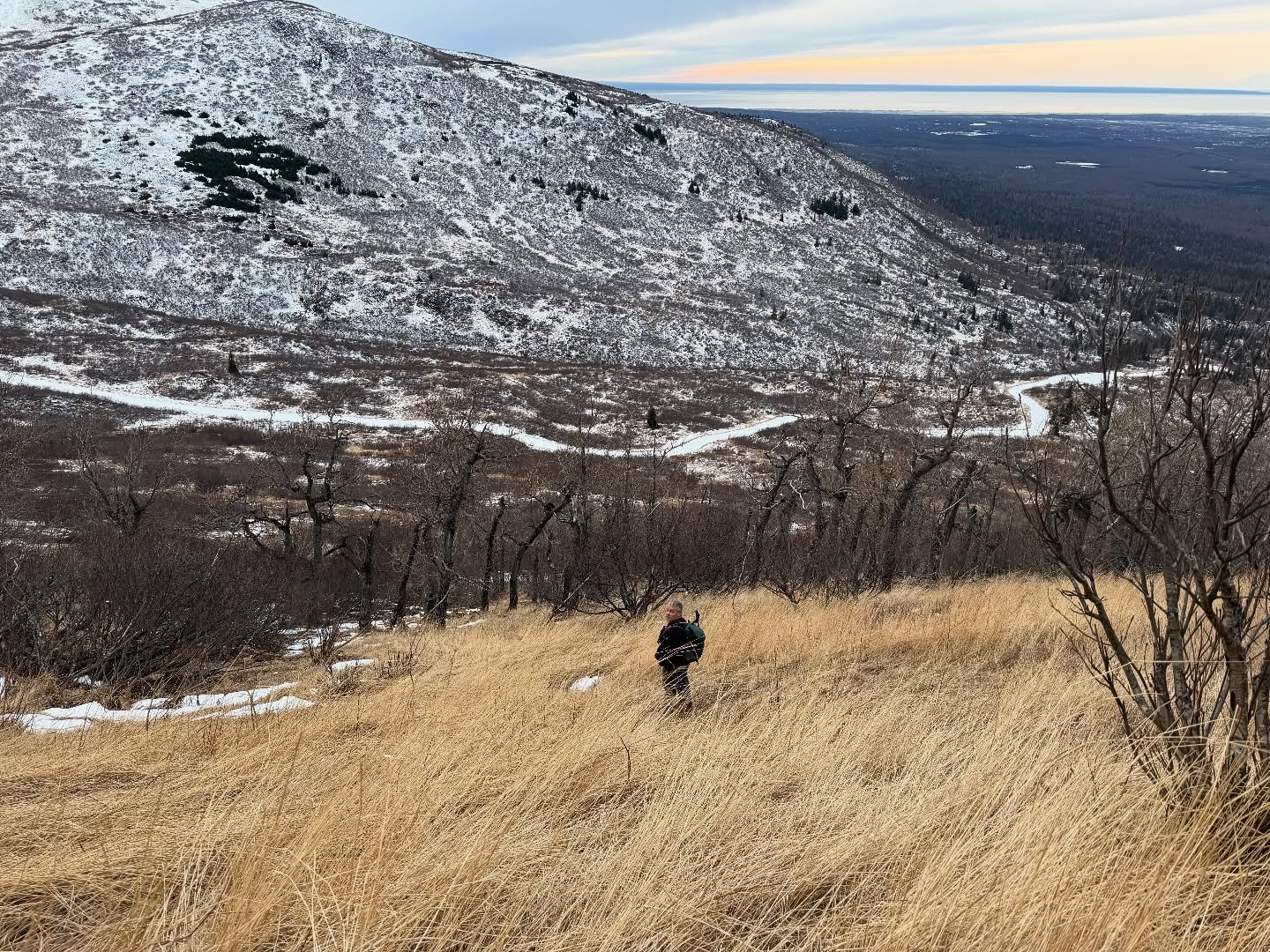
It didn’t take us long to settle upon a Snow Hawk summit instead. There isn’t really a footpath… it’s a choose your own adventure type of mountain, where you just pick your way up the broad hillside to the summit. We scoped a line that looked like it had minimal snow and started up. It really became apparently how much snow was still back in this area when we encountered a hillside of crusty, untrustworthy snow. Some was stable enough to support our weight, but more often than not, we would suddenly break through, ankles and knees surprised even when our minds knew what was coming.
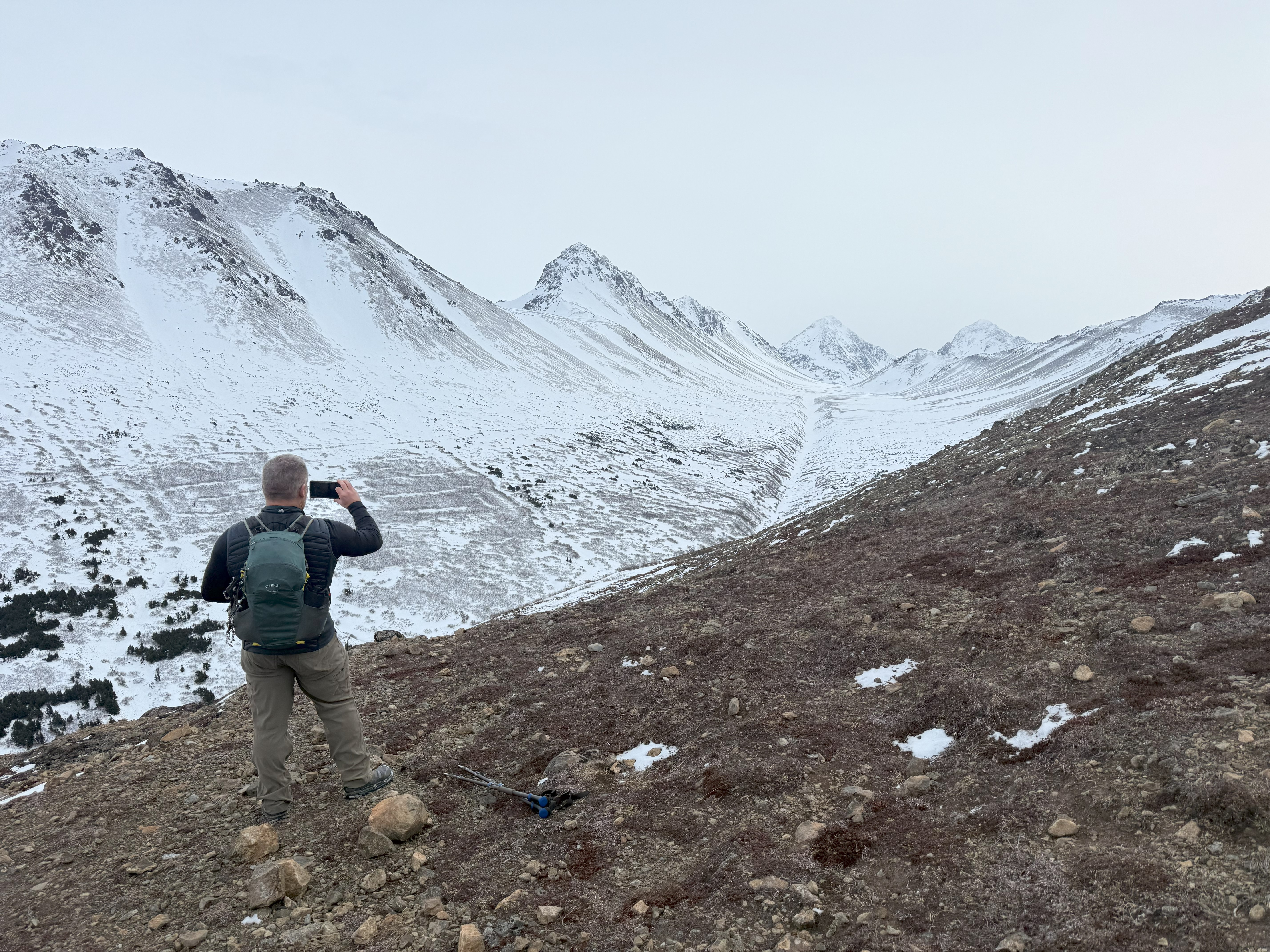
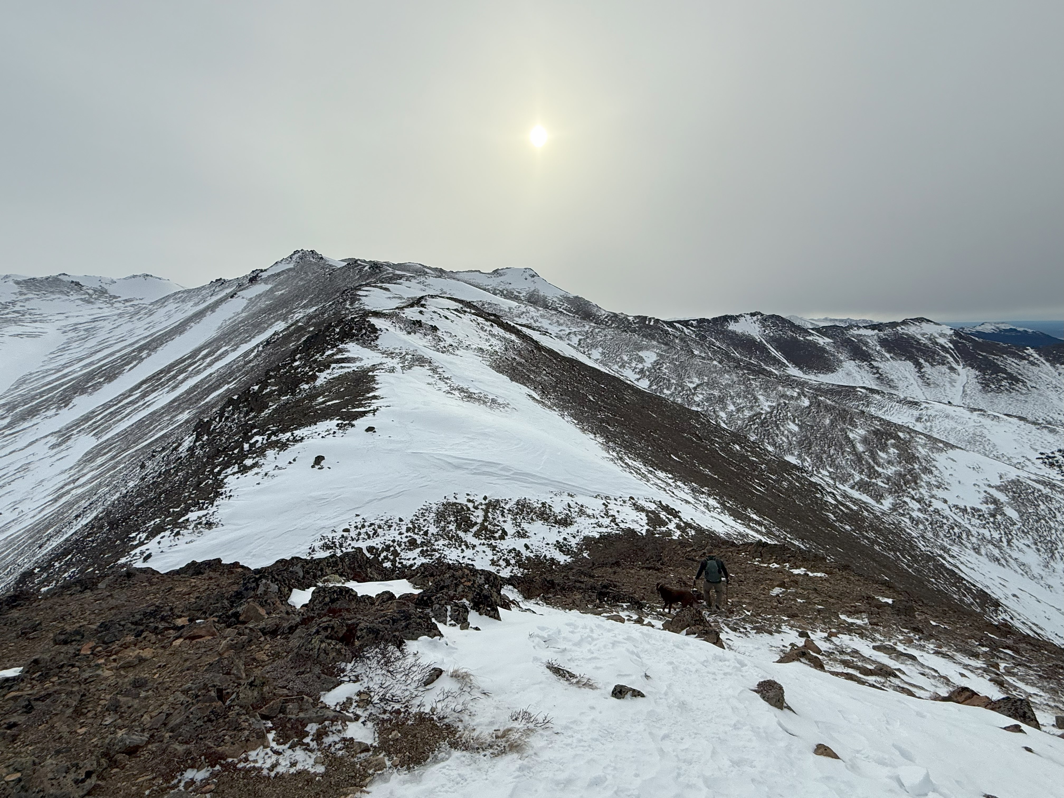
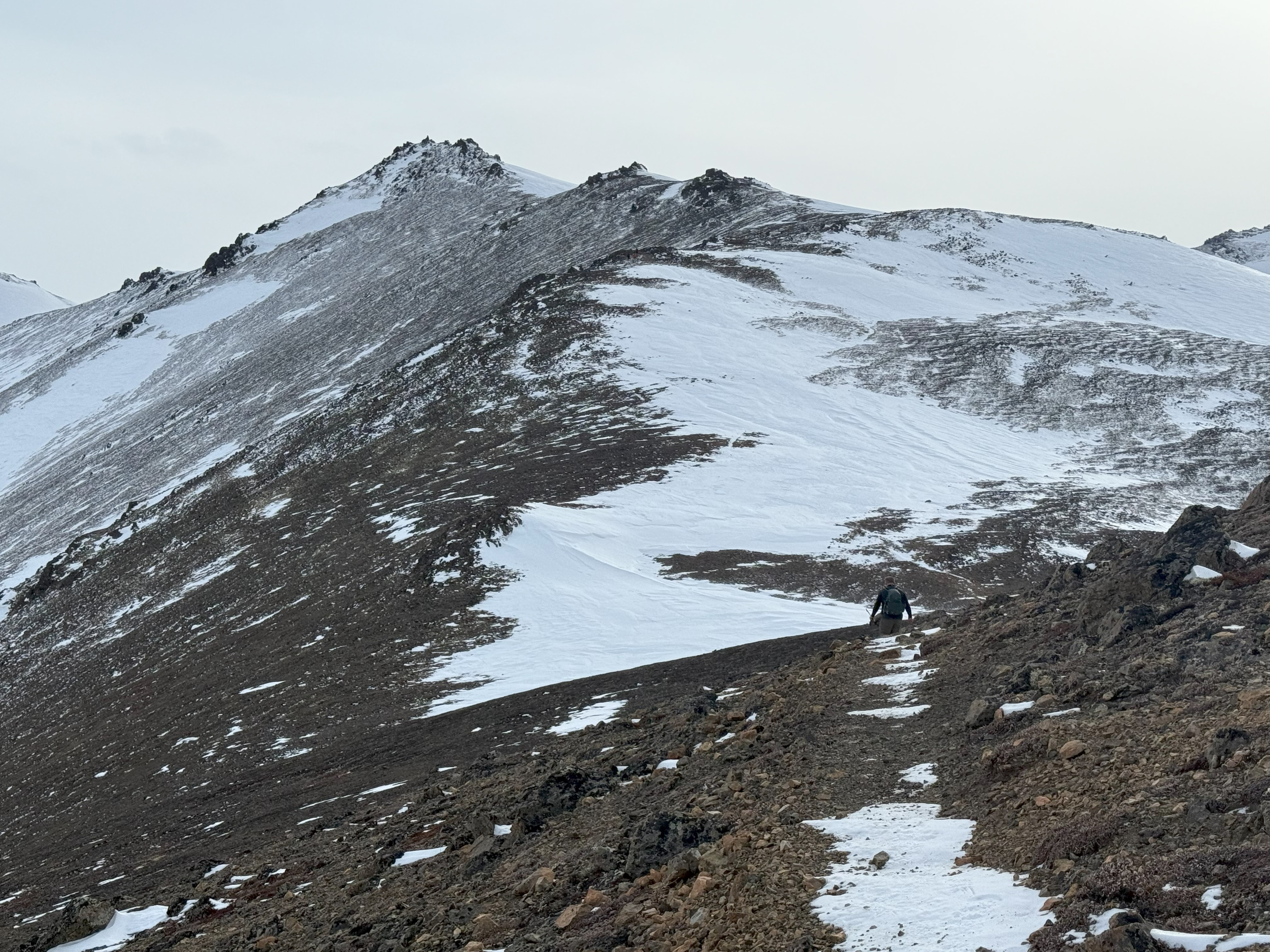
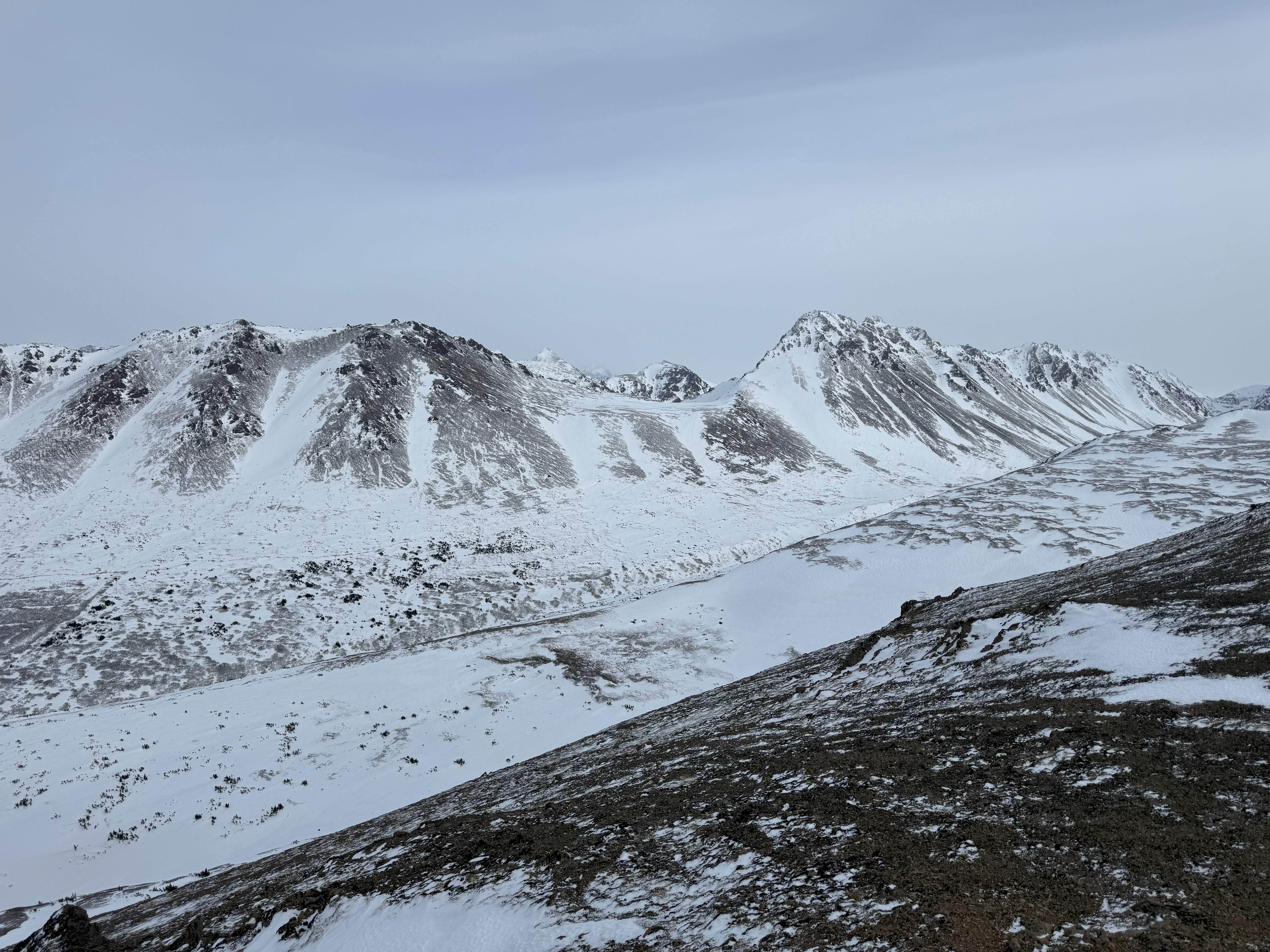
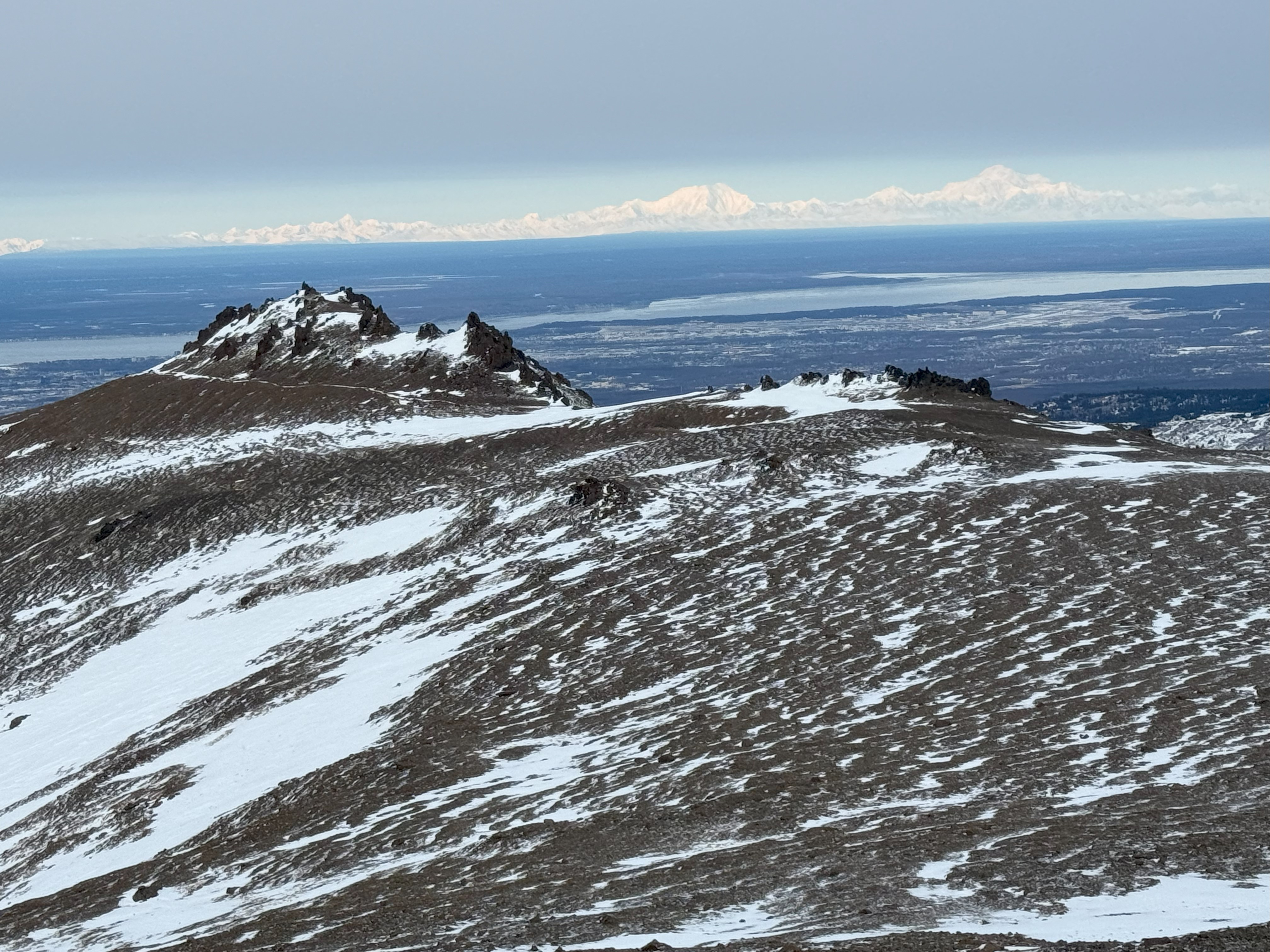
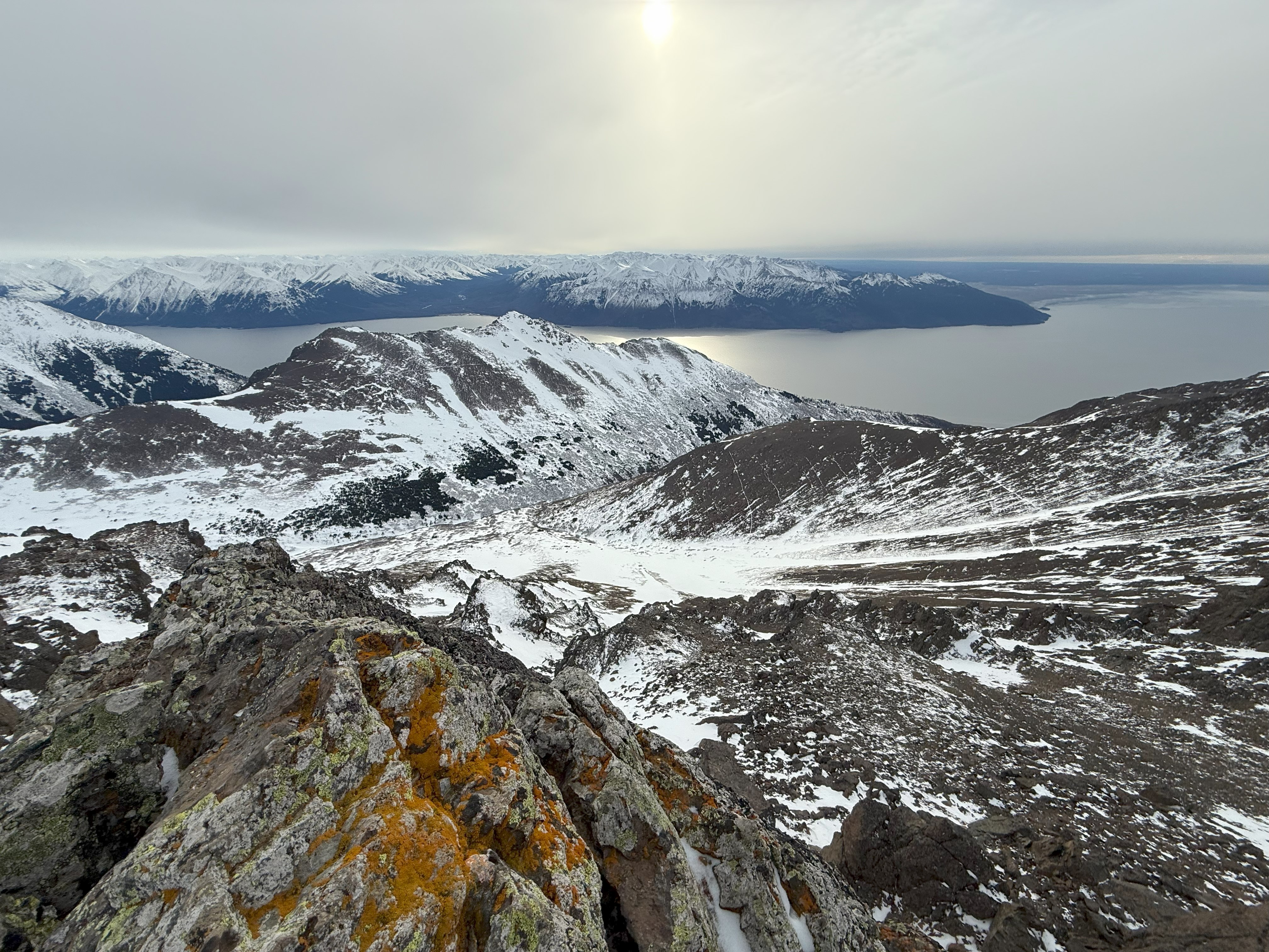
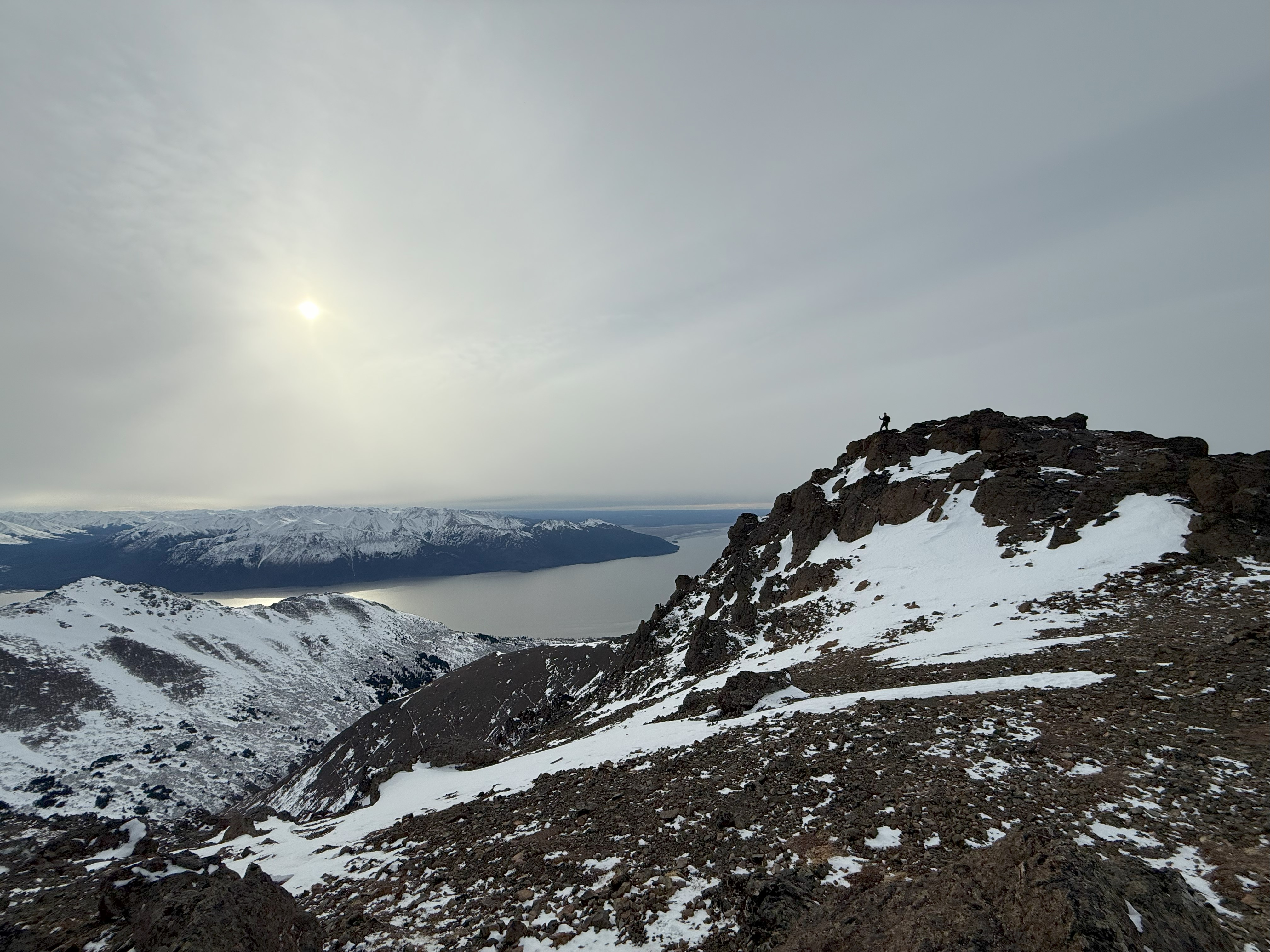
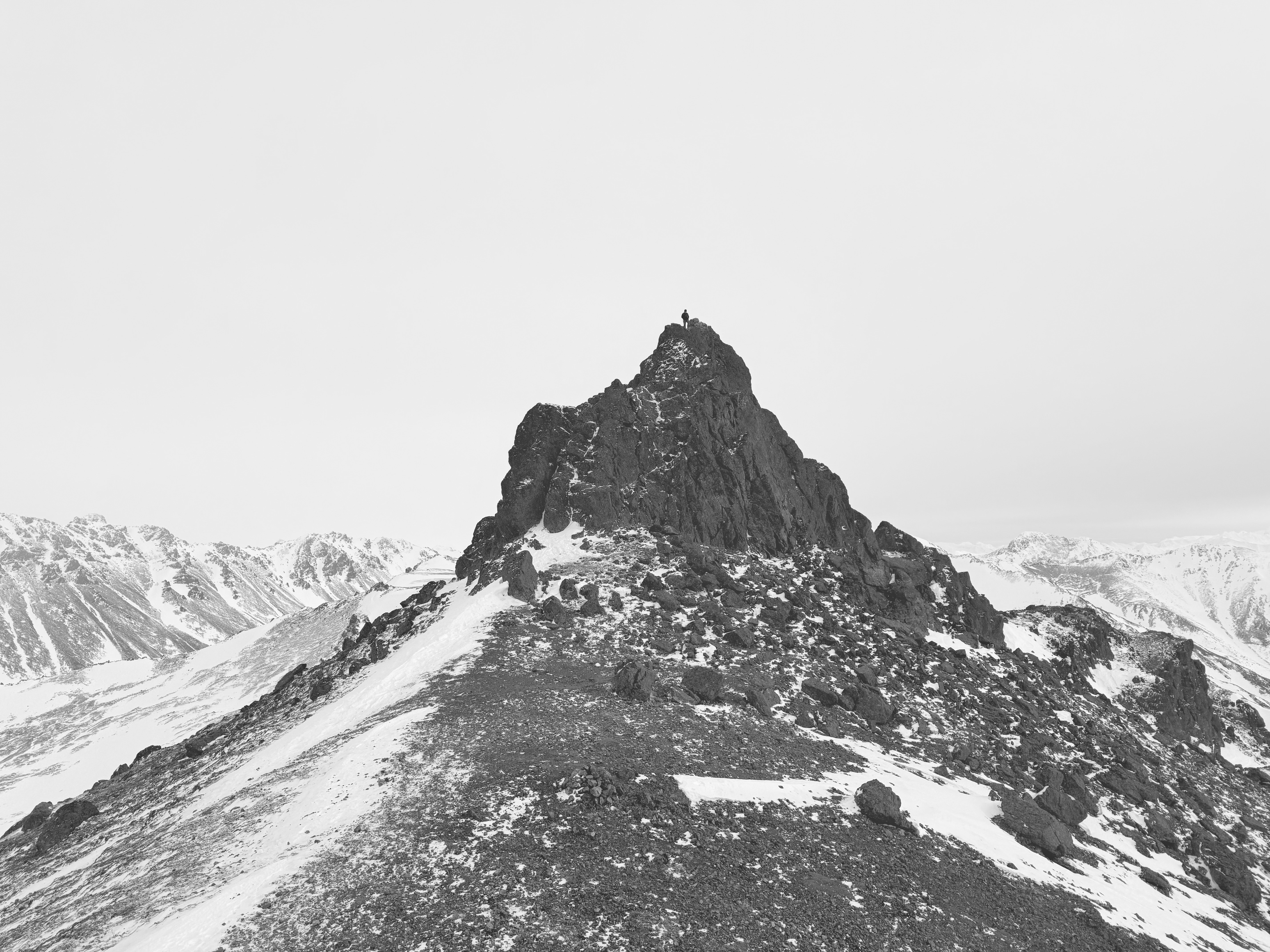
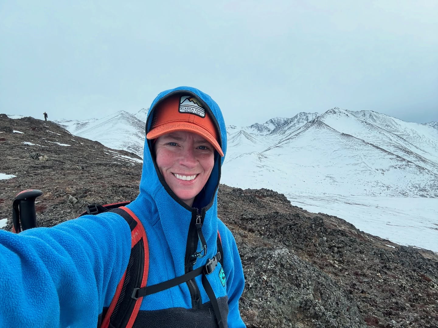
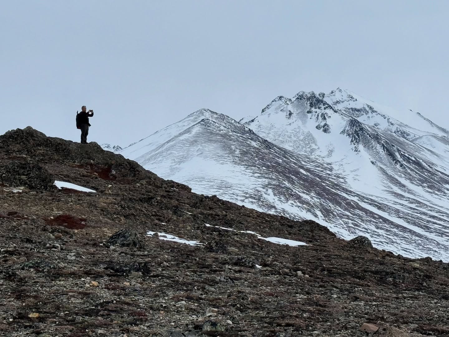
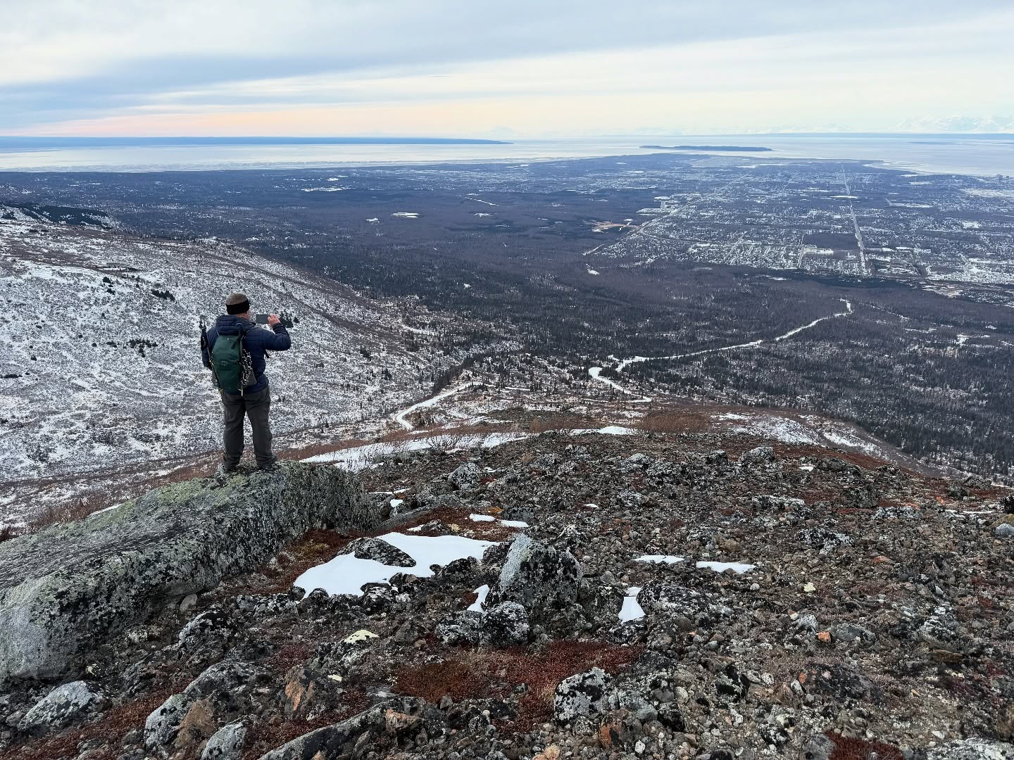
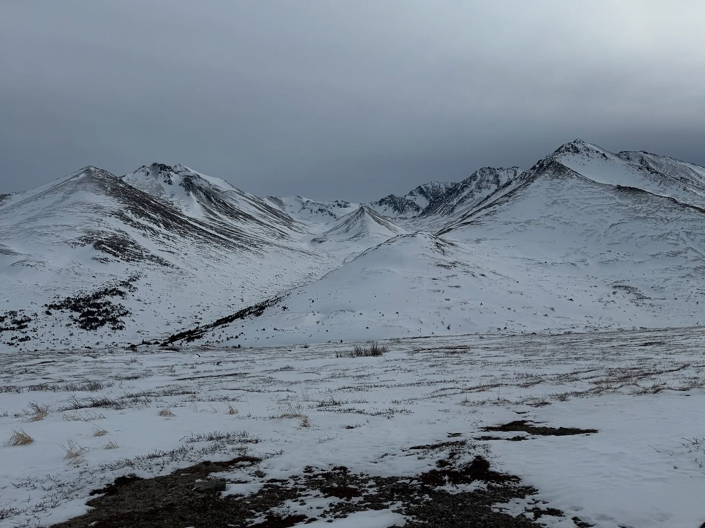
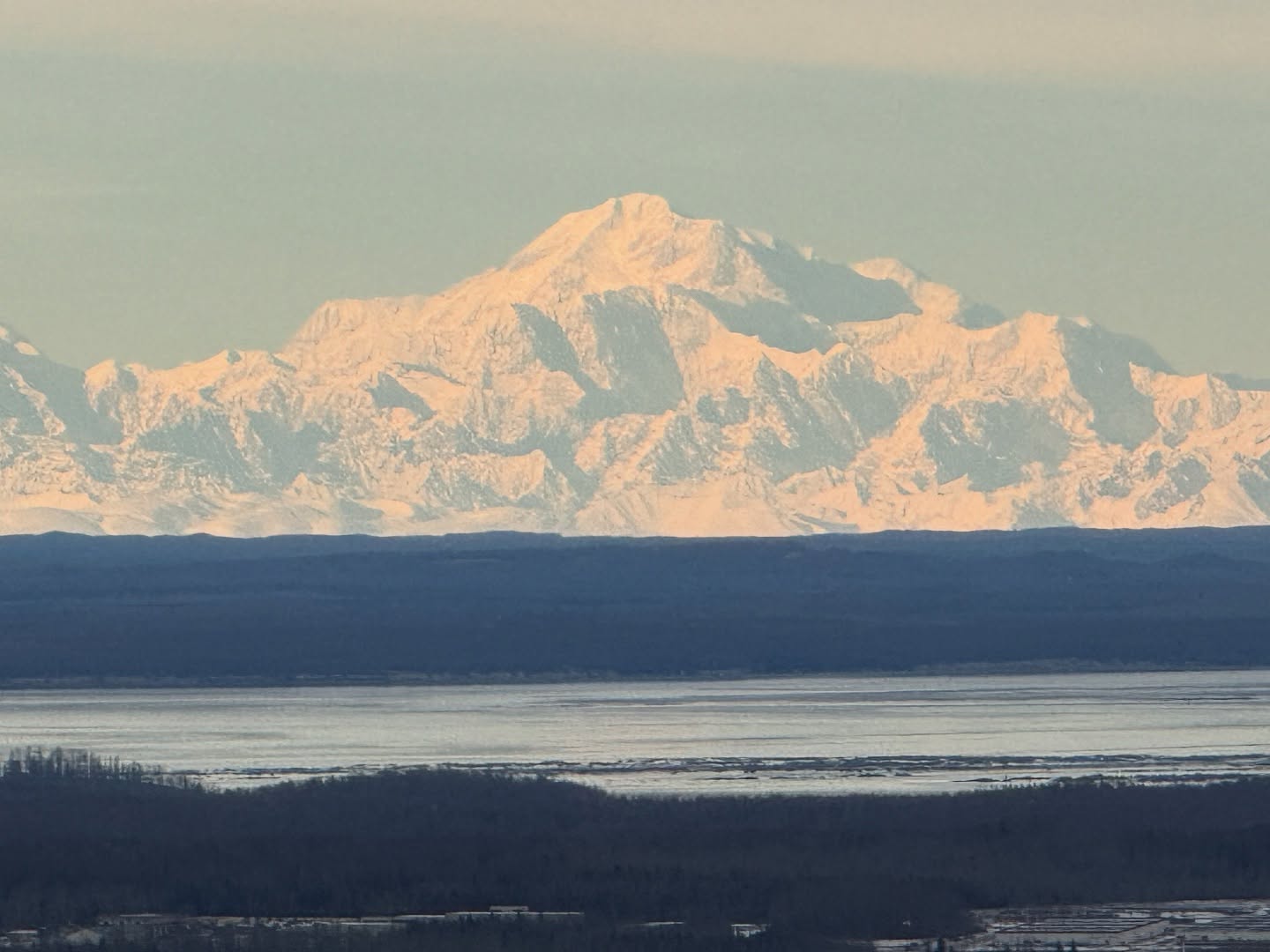
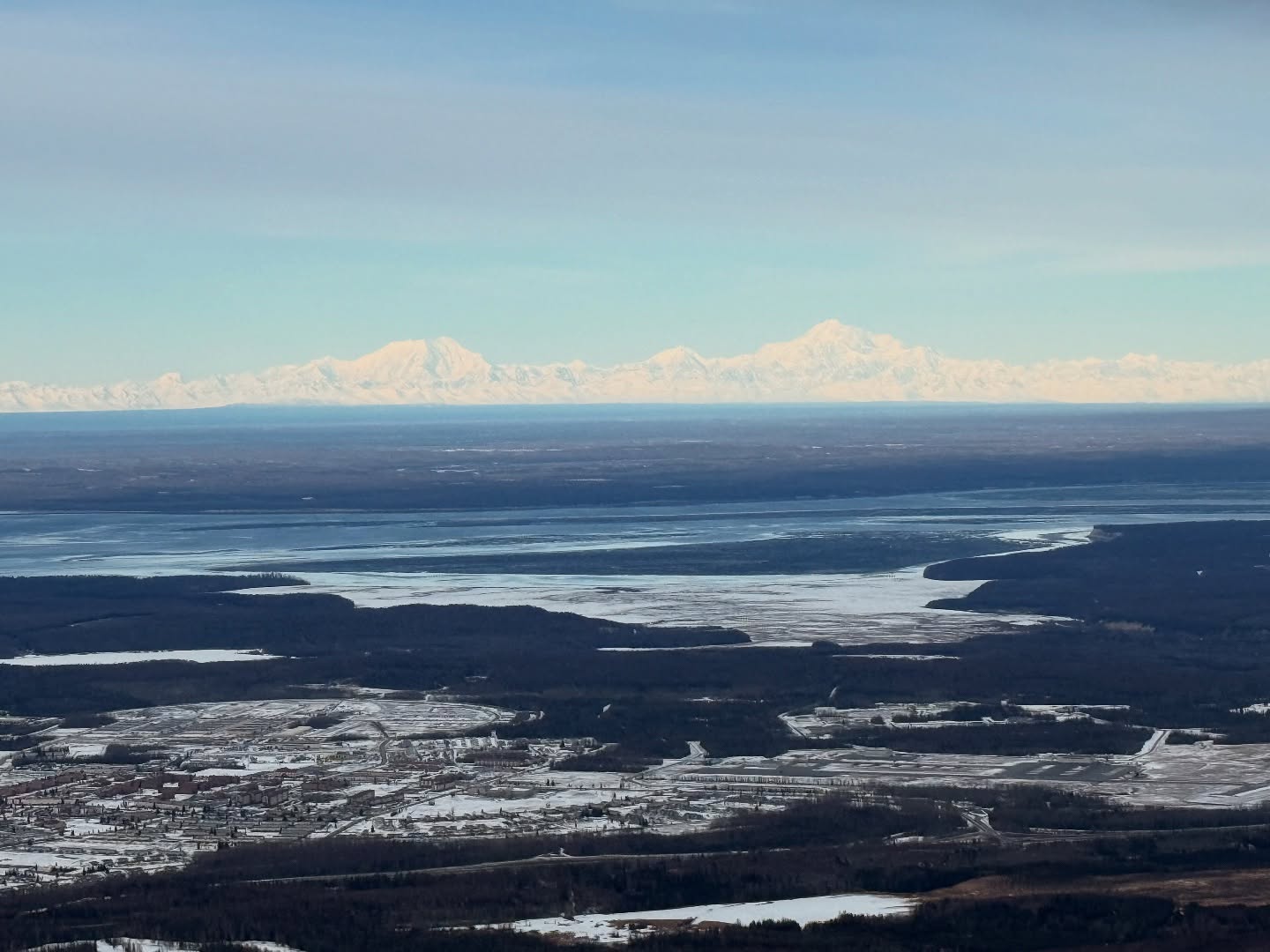
Eventually we made it the 800′ up from where we left the road and summited Snow Hawk Peak. We had traveled more than 7 miles and ascended 3000′. Pretty good hiking for February. The views from this underrated mountain are epic… The Chugach in a panorama behind us and Anchorage, the Alaska Range and the Talkeetna Mountains out front. We sat and ate lunch, enjoyed calm winds a nice break.
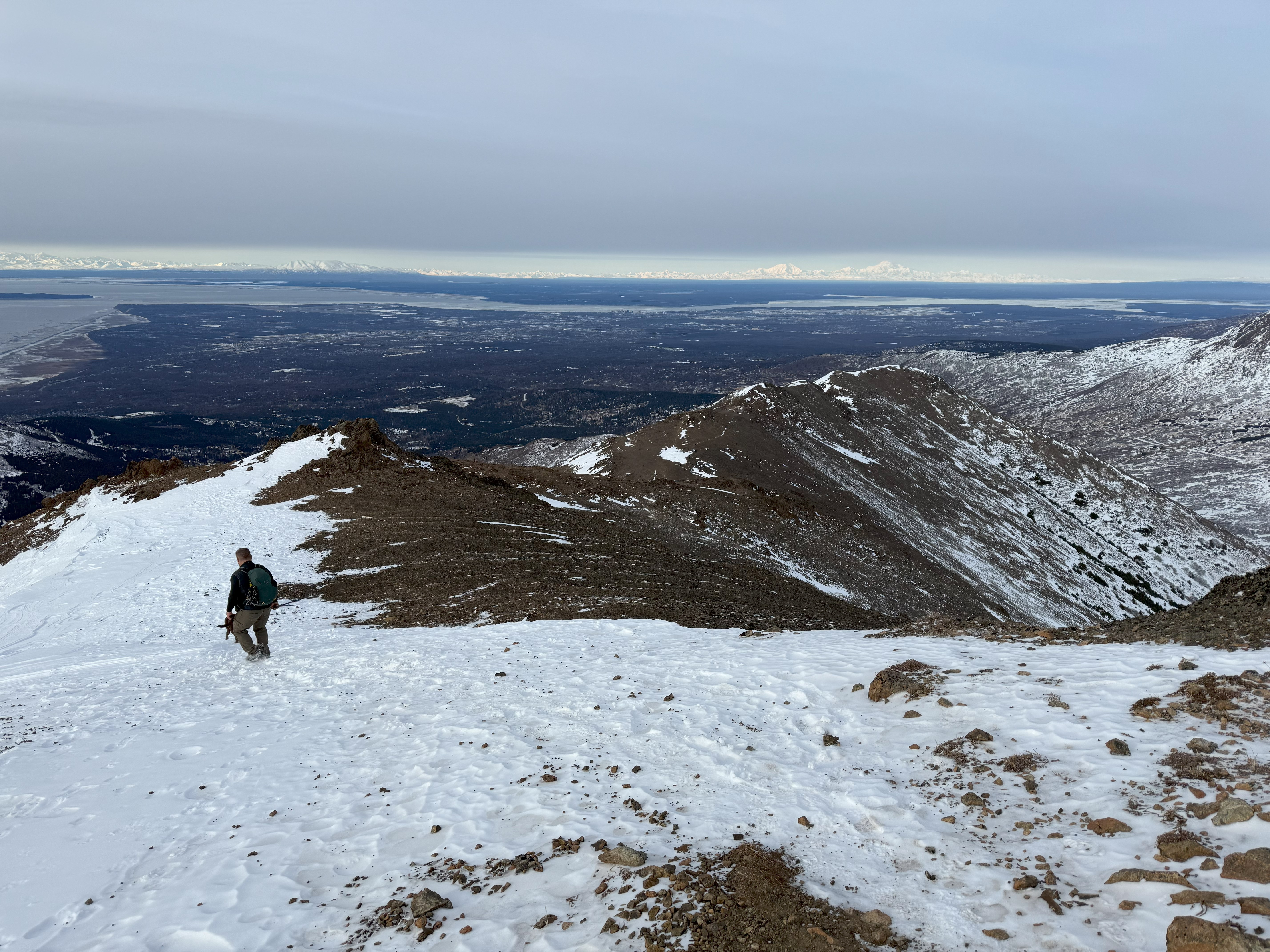
We decided to head down a ridge to the Southwest that would bring us back to the road, descending 1300′ in just over half a mile through brush, grass and jumbled deadfall. It was steep and very frustrating for me, but running into a treed porcupine was quite a treat!
We reached the road and made great time back to the trailhead. All in all, this approach is a couple of miles longer than parking at Stuckagain Heights and going over and back via The Dome, but having done that before, this cuts off the muddy bushwhacking through the Valley between the Dome and Snow Hawk Road.
It was bummer that our 3 main objectives weren’t attainable, but we were able to recon for some summer climbs and Snow Hawk has amazing views, so it wasn’t a complete bust of a day. The double digits miles and increasing elevation gain means we are well on our way to being in shape for some big traverses and peaks this summer!
Happy Trekking!
Just The Tips:
- Make sure to register on the JBER RecAccess website to obtain permits on days that the recreation areas are open. Open and Closed status can change without prior notice so be sure to check the map on the morning of your activity.
- All users must be signed out by 11pm. There is no camping on JBER land.
- Be Bear Aware. These areas are less traveled than other Front Range peaks and the wildlife is abundant. Carry bear spray and be bear aware.
Snow HAwk AllTrails and Peakbagger Links: